Temples, Tombs and Tales III
It seems that the people who put our itinerary together have us going to a variety of temples, each (as a generality) dedicated to a different god or in one case, two gods. The temples though were used by all the kings of the period, each adding their touch to the place over many reigns.
Our small group of 8 (no French) had the same guide for the entire trip. Dr Mahamod, he has a PhD in Nubian studies of some sort, gregarious fellow. We thought he was good, knew what he was taking about…..or so it seemed to us…… and didn’t swamp us with information.
At Karnak.
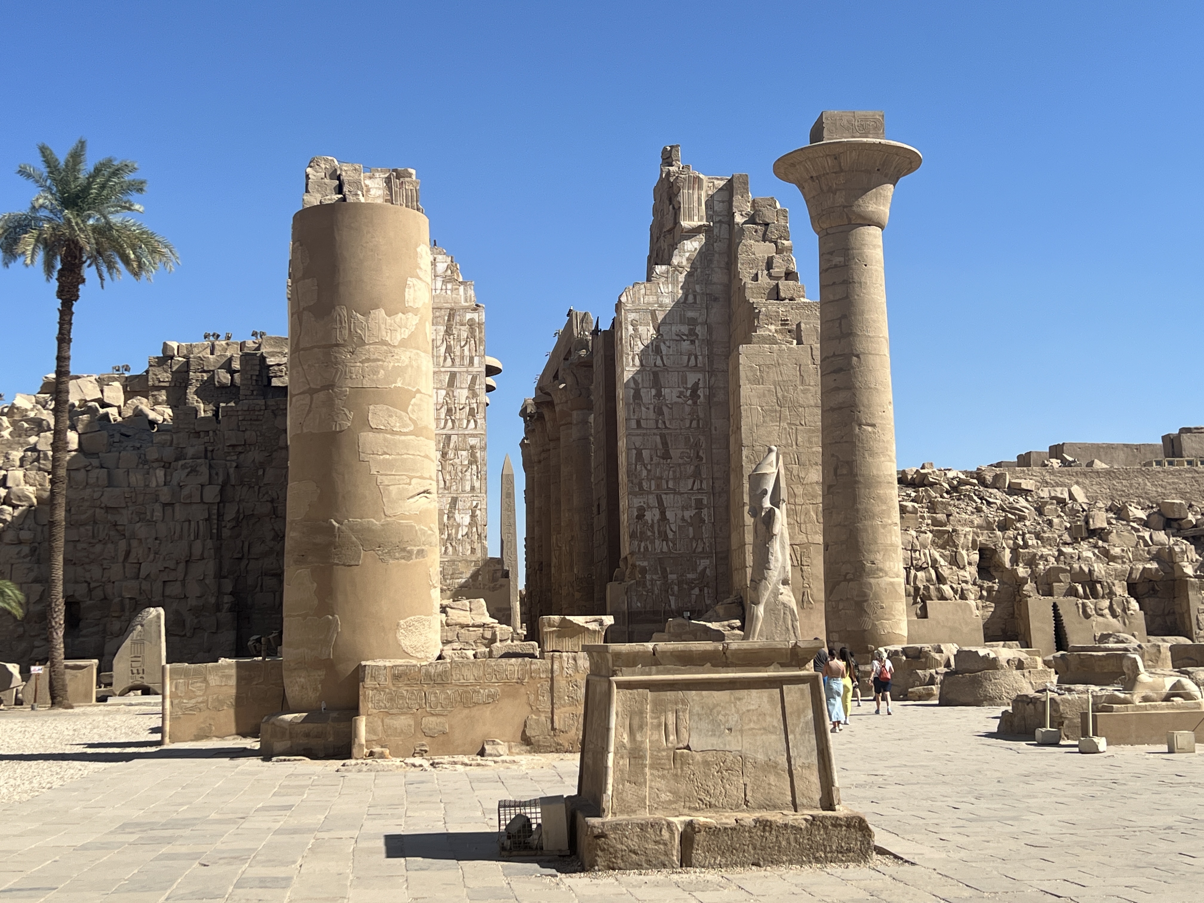

Over the five days we steamed to Aswan Mahamod guided us through the mysteries of six temples, generally starting early in the morning with a six o’clock breakfast and getting back at 1pm or so for lunch.
At Abydos
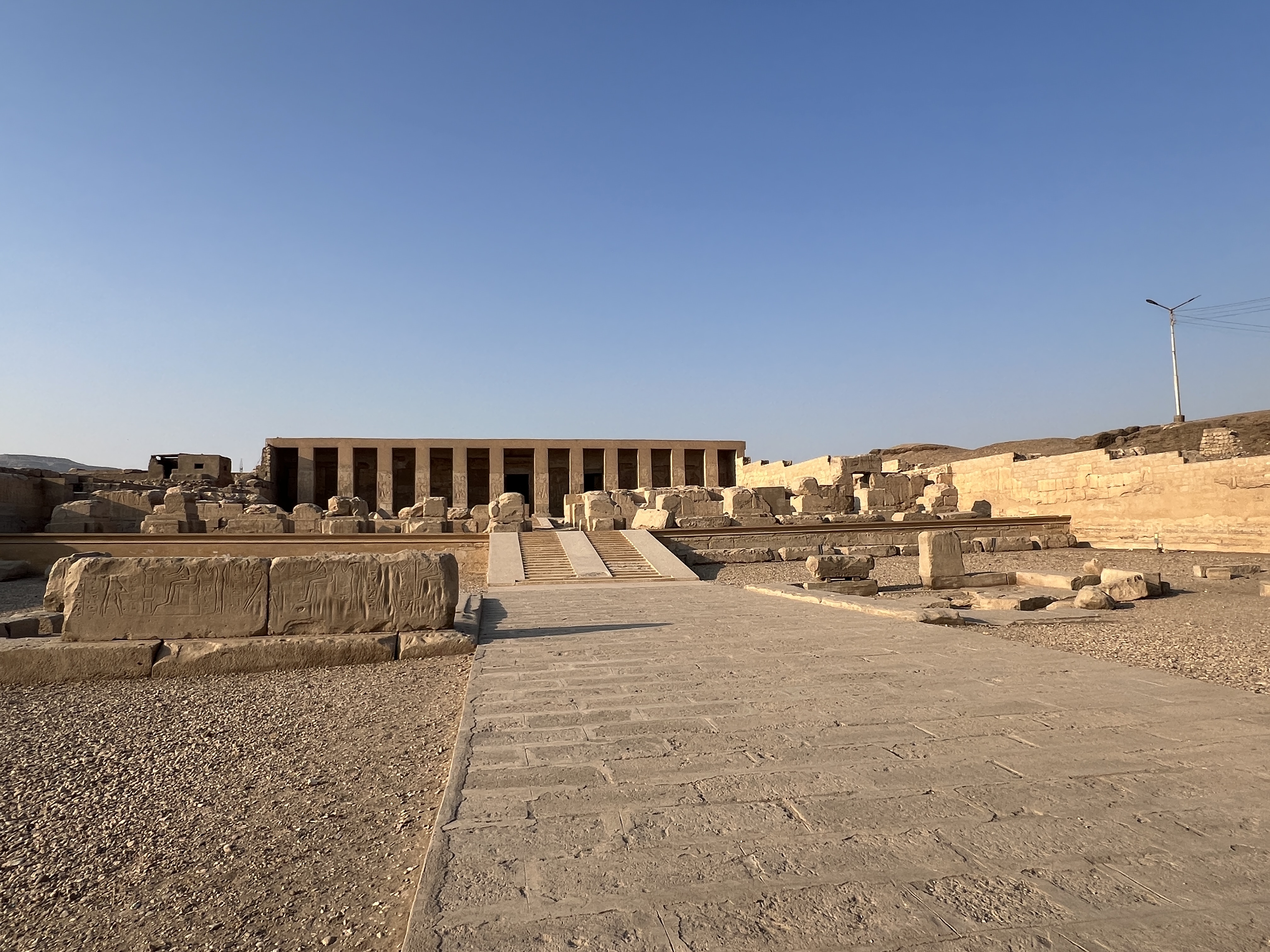
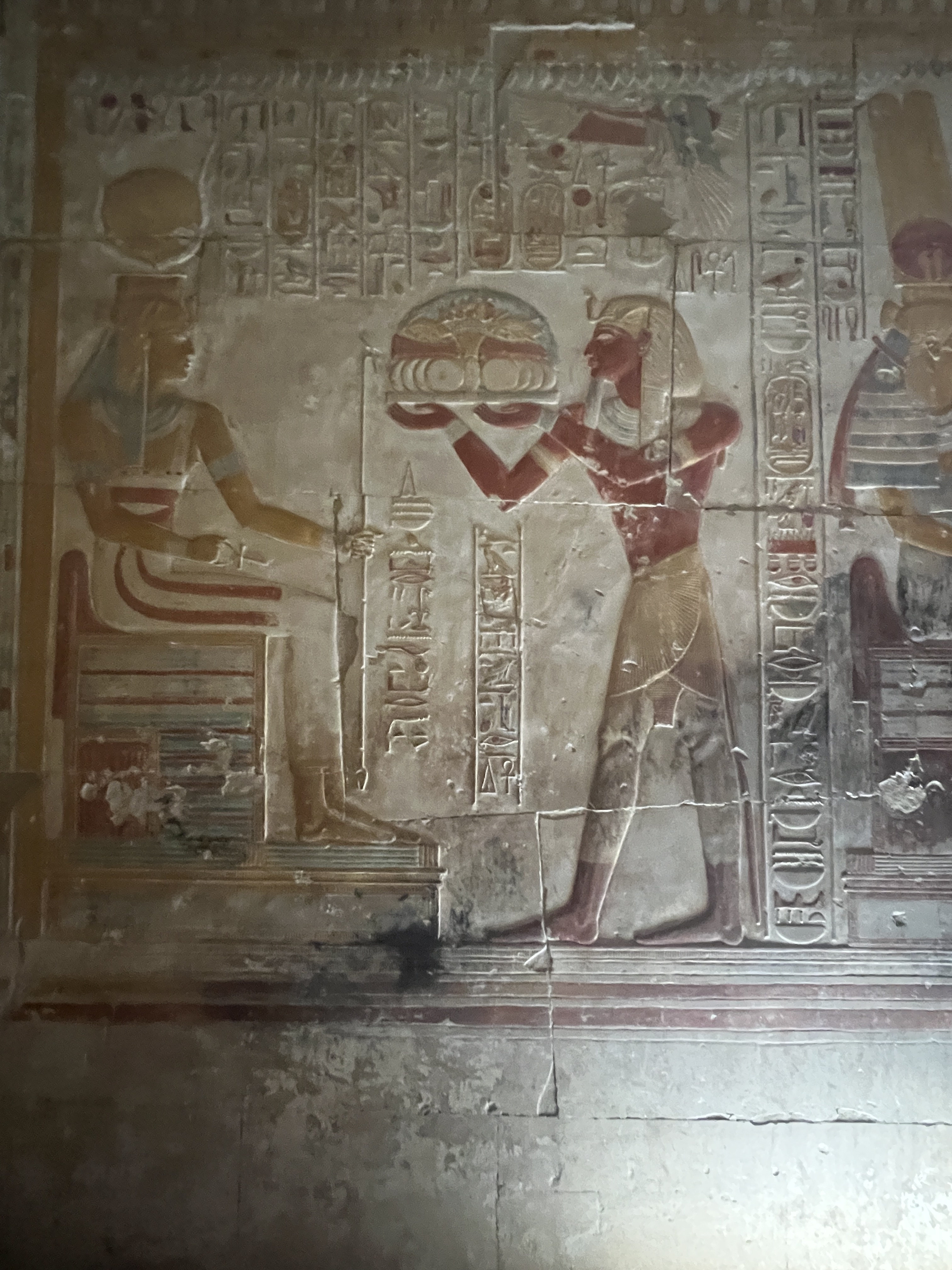
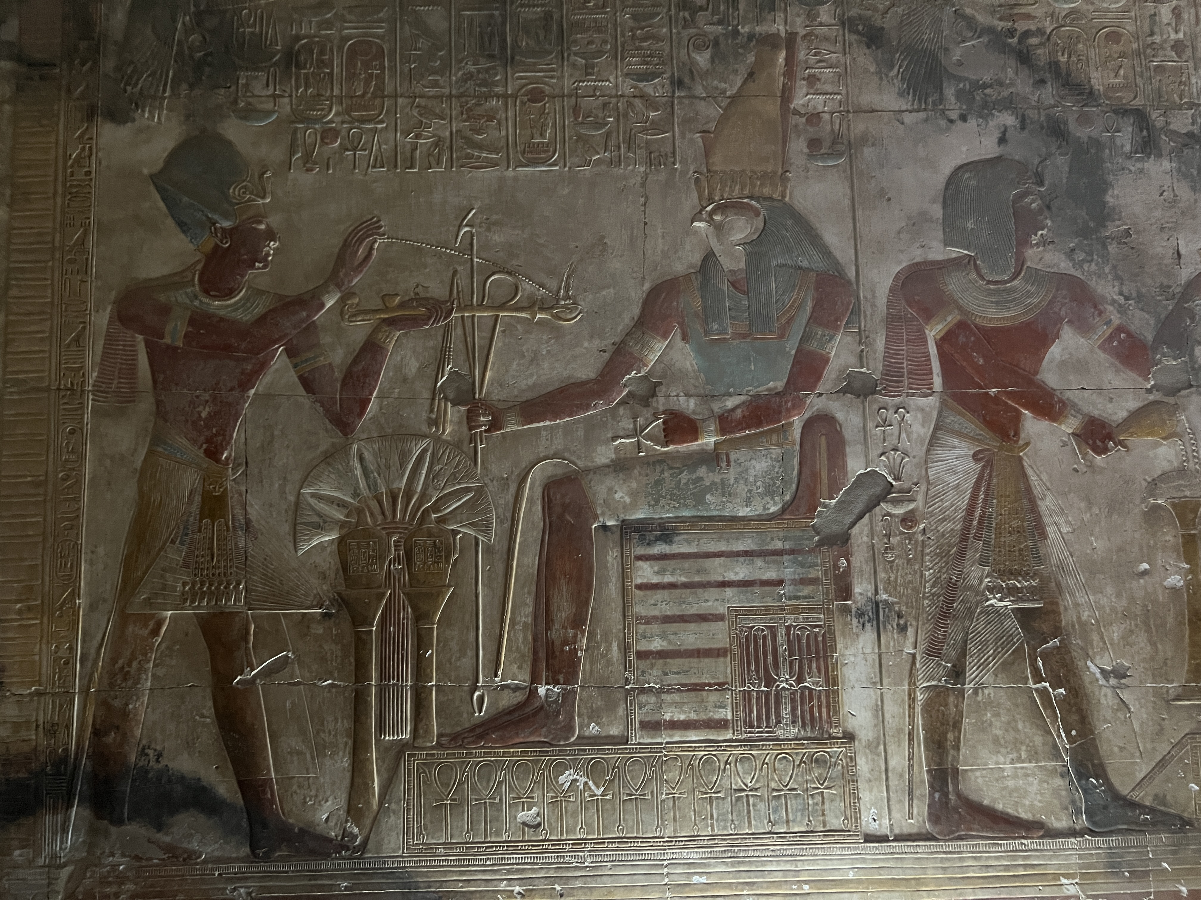
The temples are these days devoid of all the fineries of the time…..god statues, ornaments etc. These are in the museums in Luxor and Cairo. Or have been pinched in antiquity after the decline of the civilisation, or in more recent times by the British, European and American collectors/museums.
At Denderah
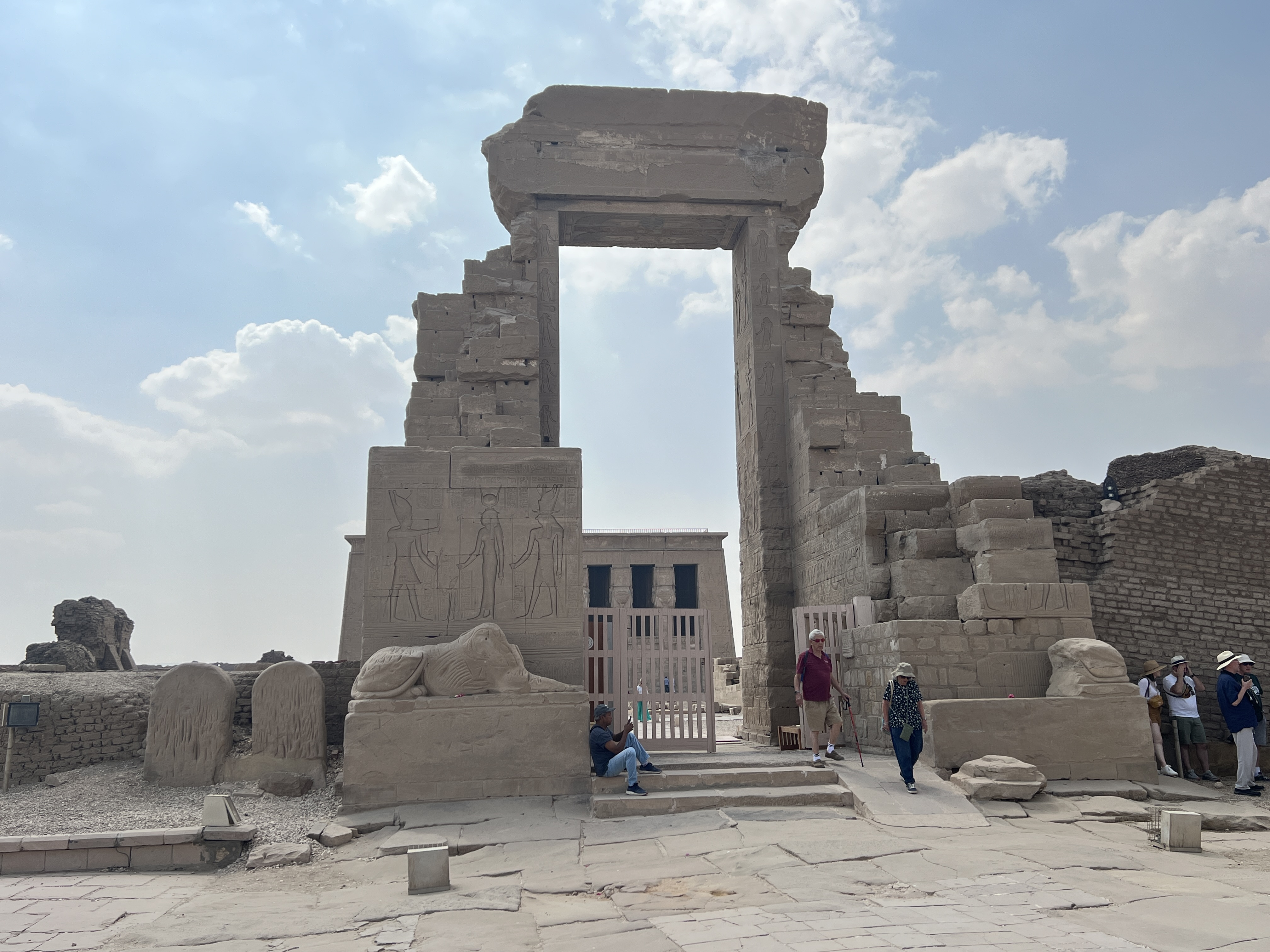
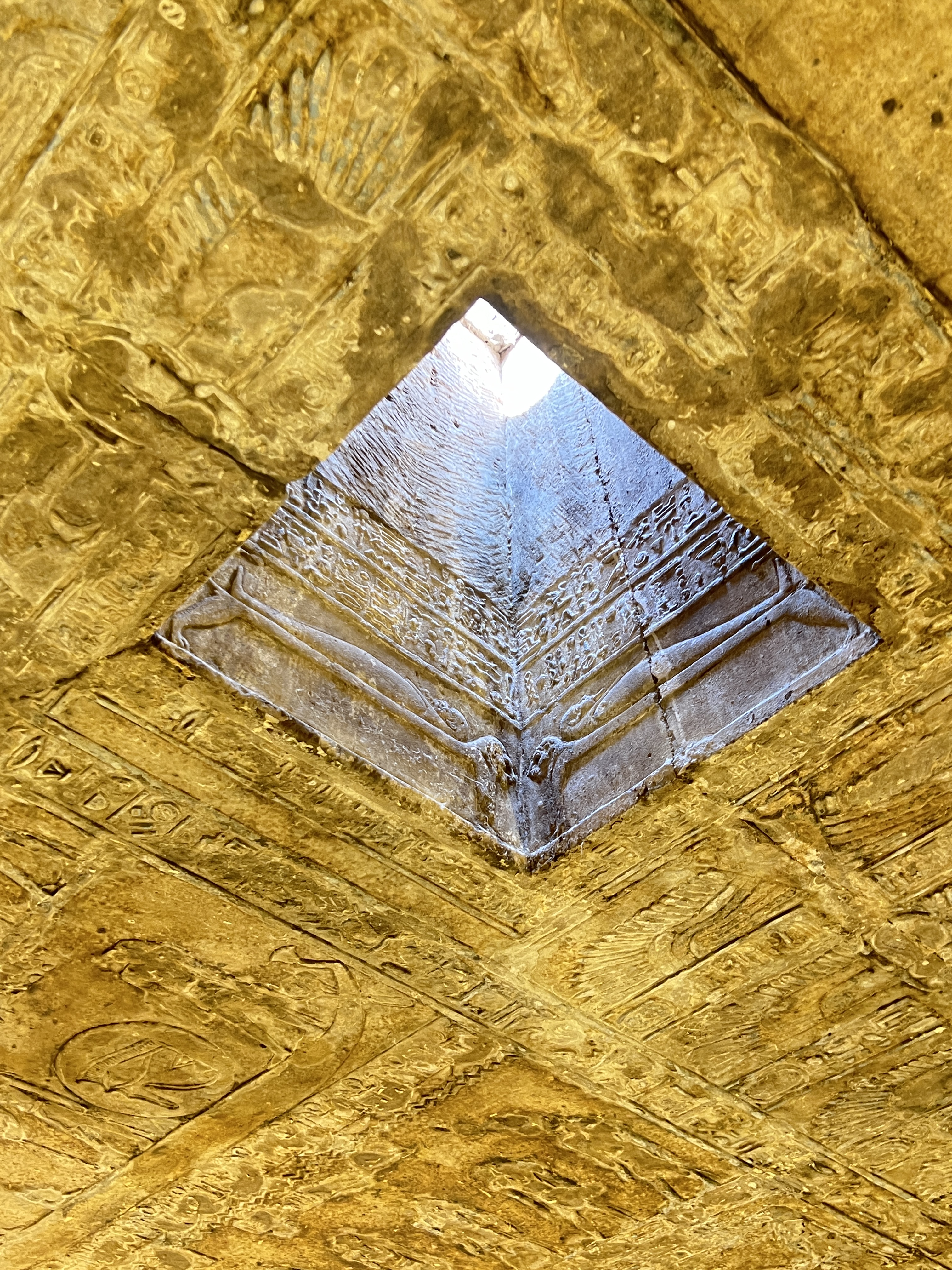
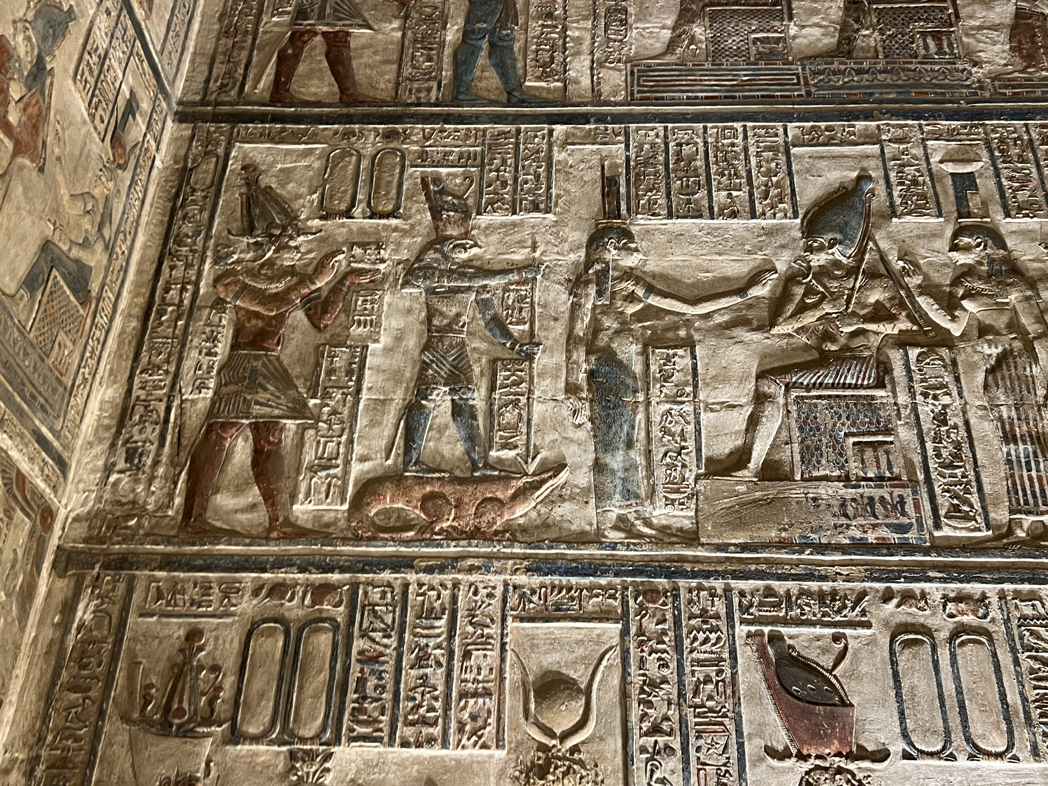
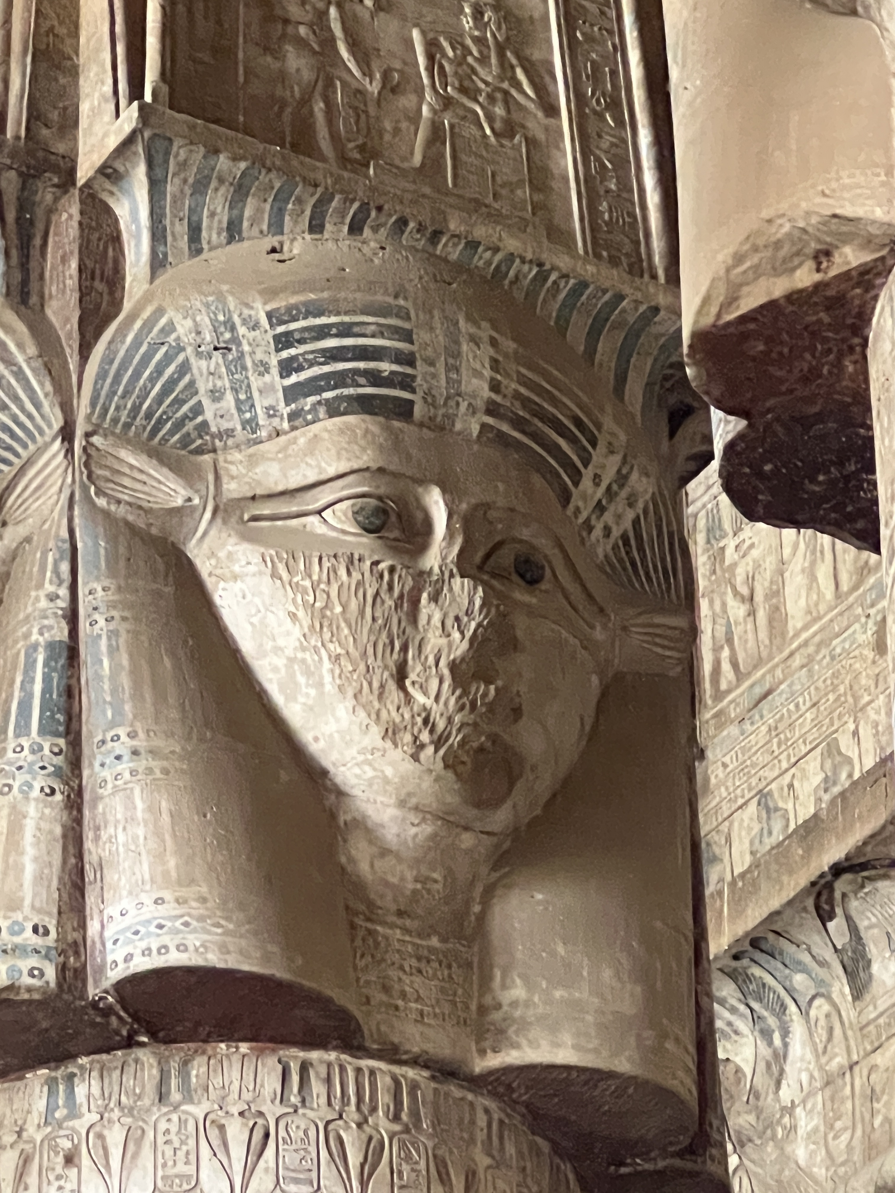
But what is left is still awe inspiring for its size and detail. Massive statues of the pharaohs and queens. Temple walls covered with carvings, paintings and hieroglyphs. Mahamod gave us a spirited commentary, some of which has stuck in the recesses. I wont attempt to regurgitate any of it here!
At Edfu
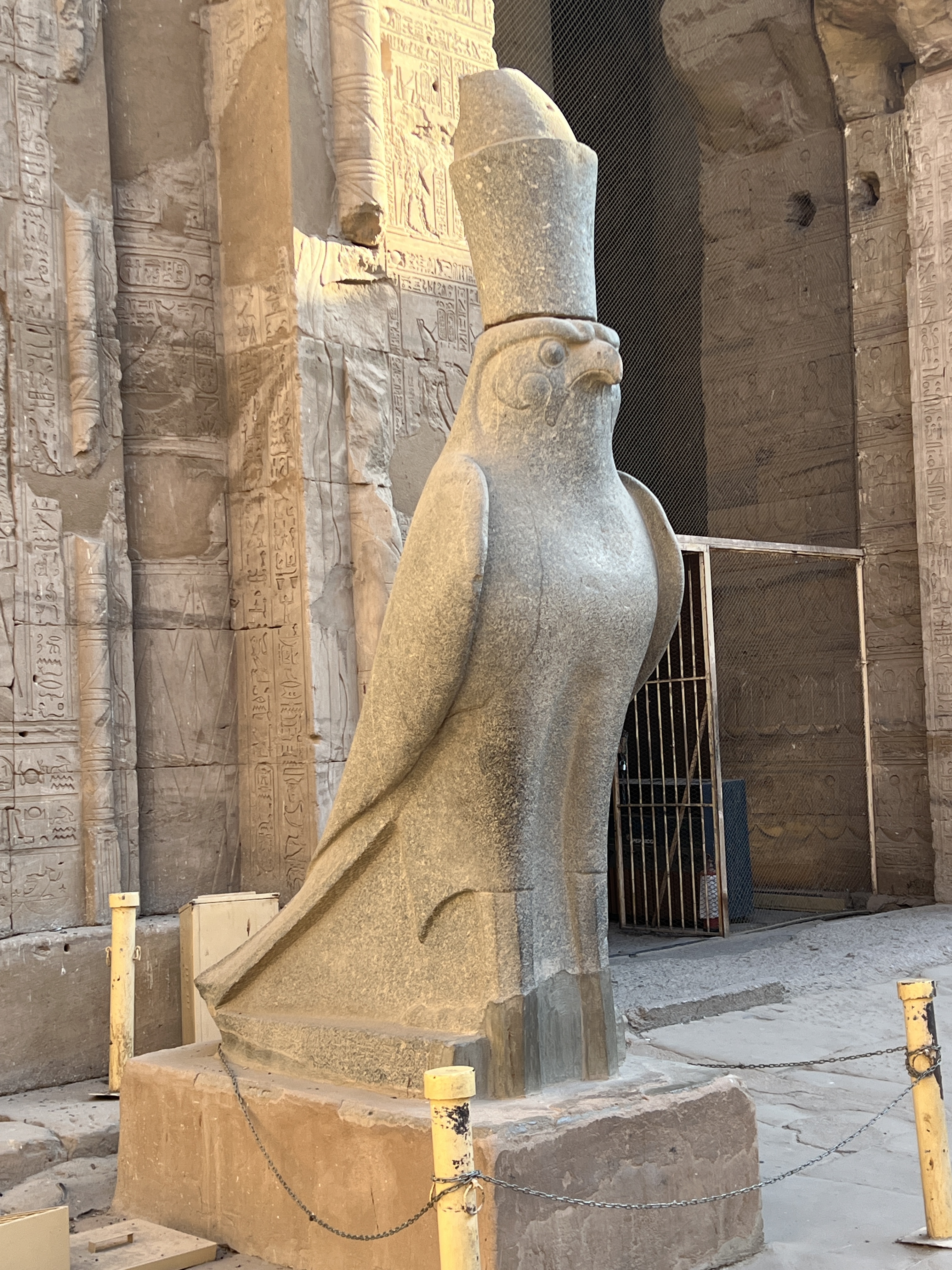
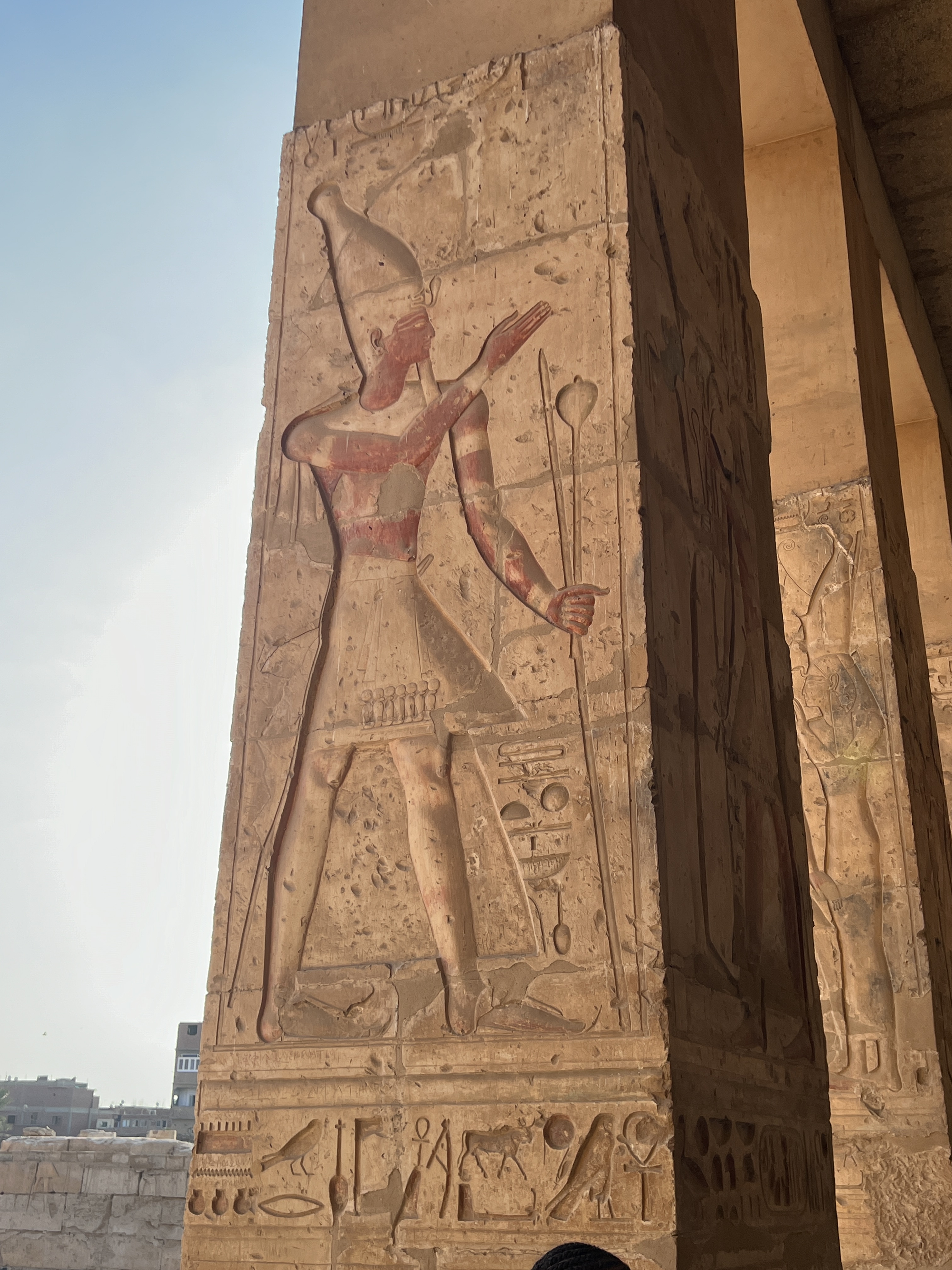
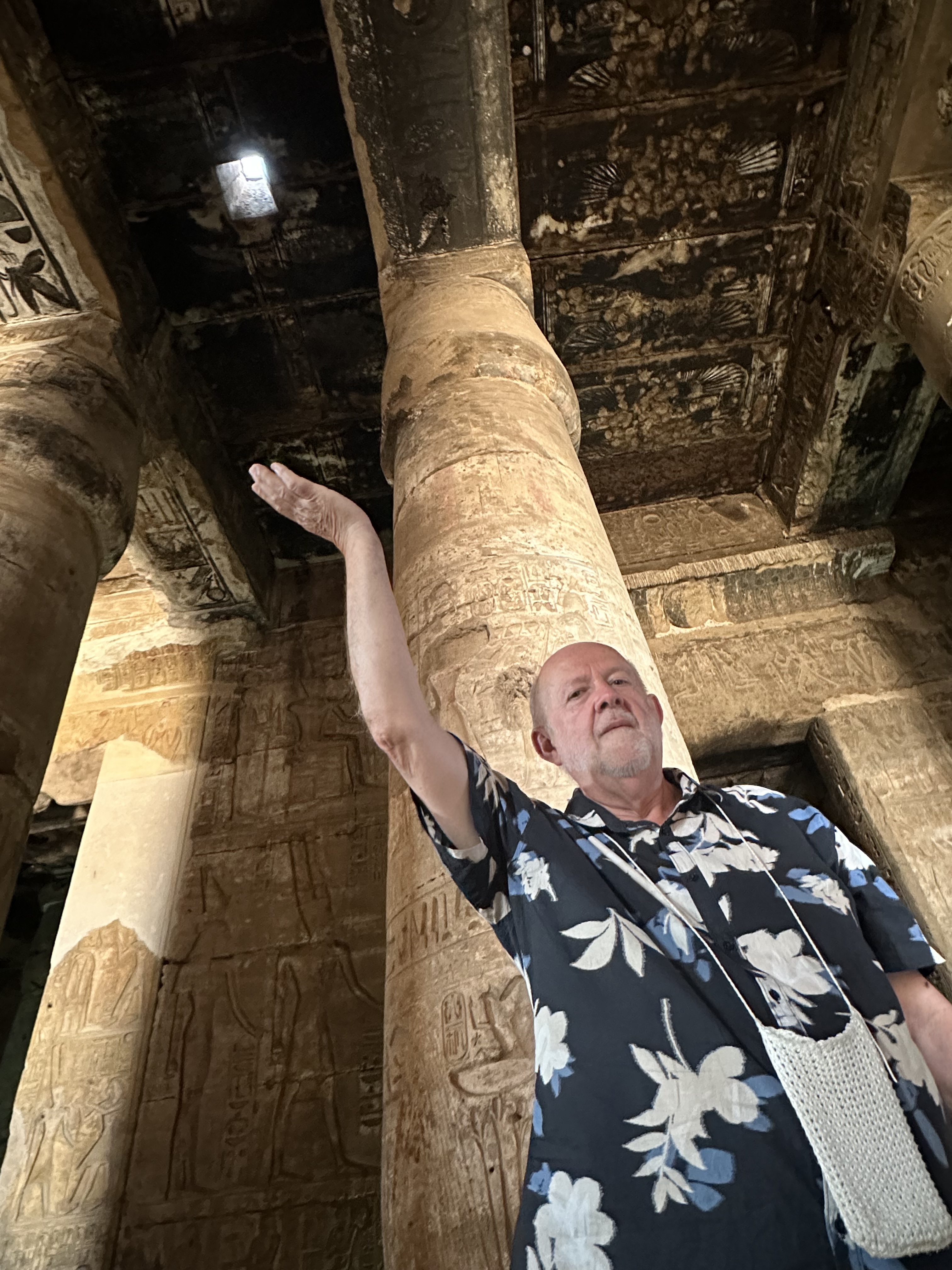
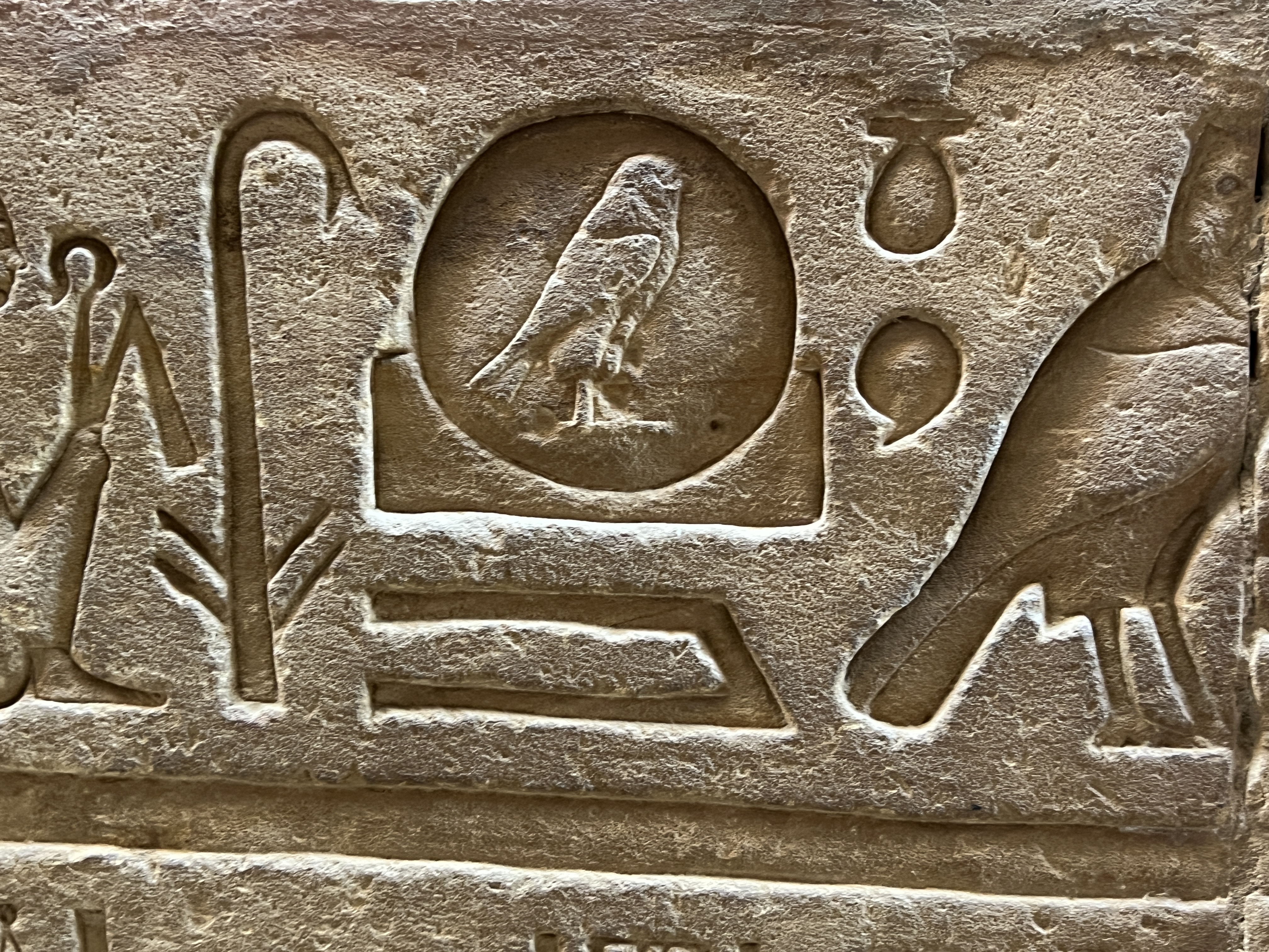
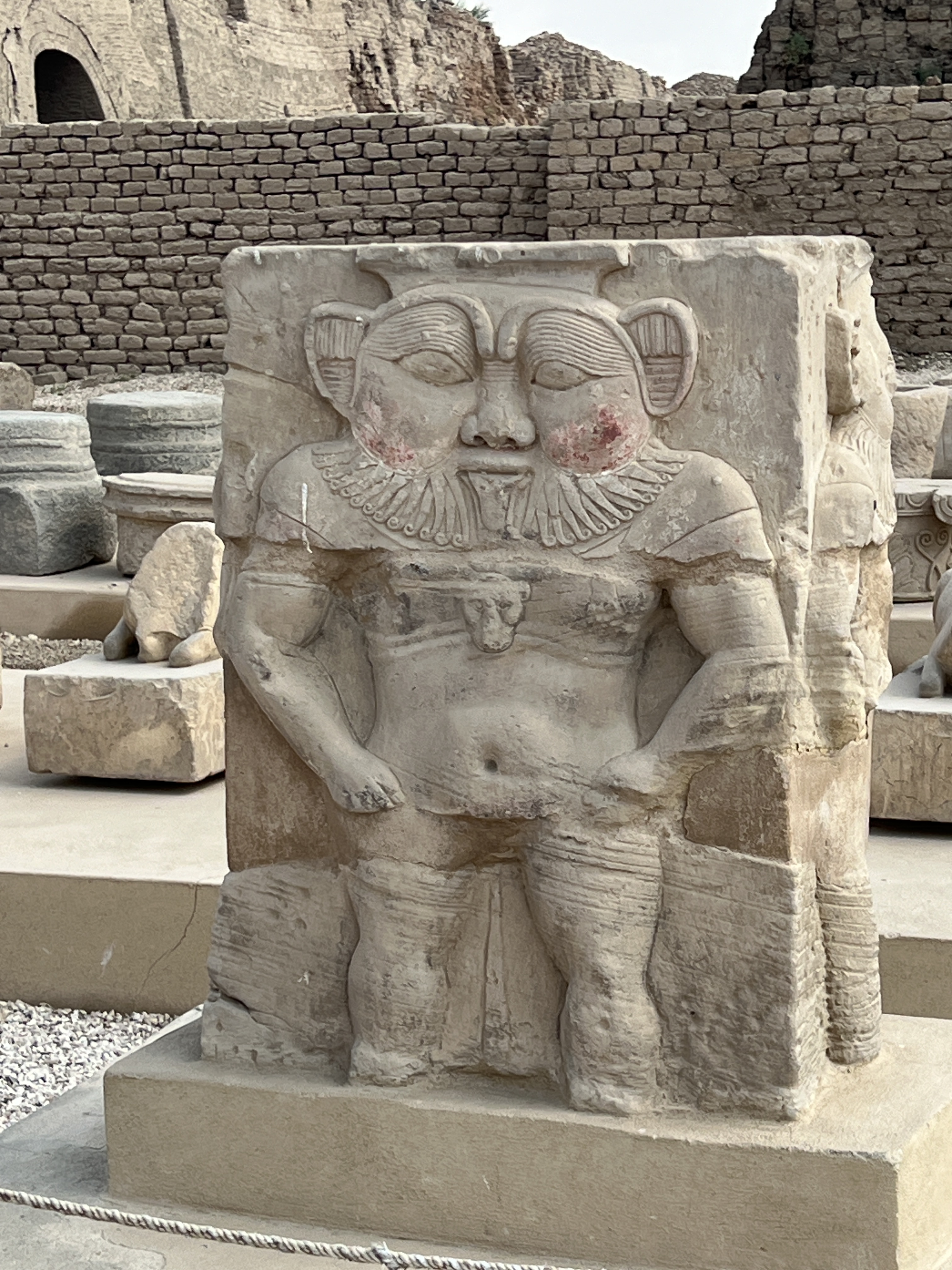
The art and hieroglyphs are in the main documenting and describing the relationship of the kings and queens with the gods. And what the king brings with him during the procession to meet the god. Along with events of the times and seasonal changes.
At Kom Ombo (a night visit)
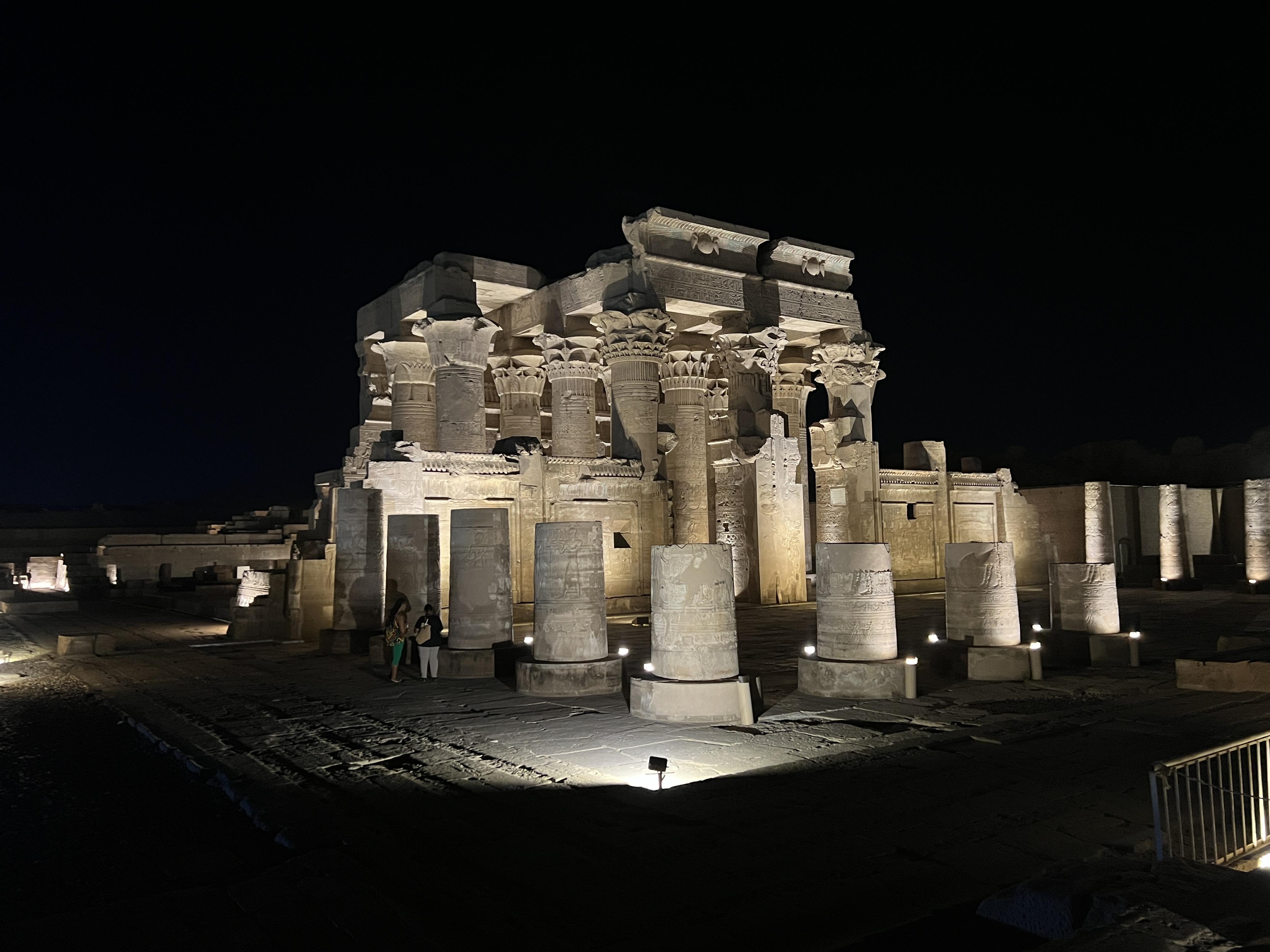
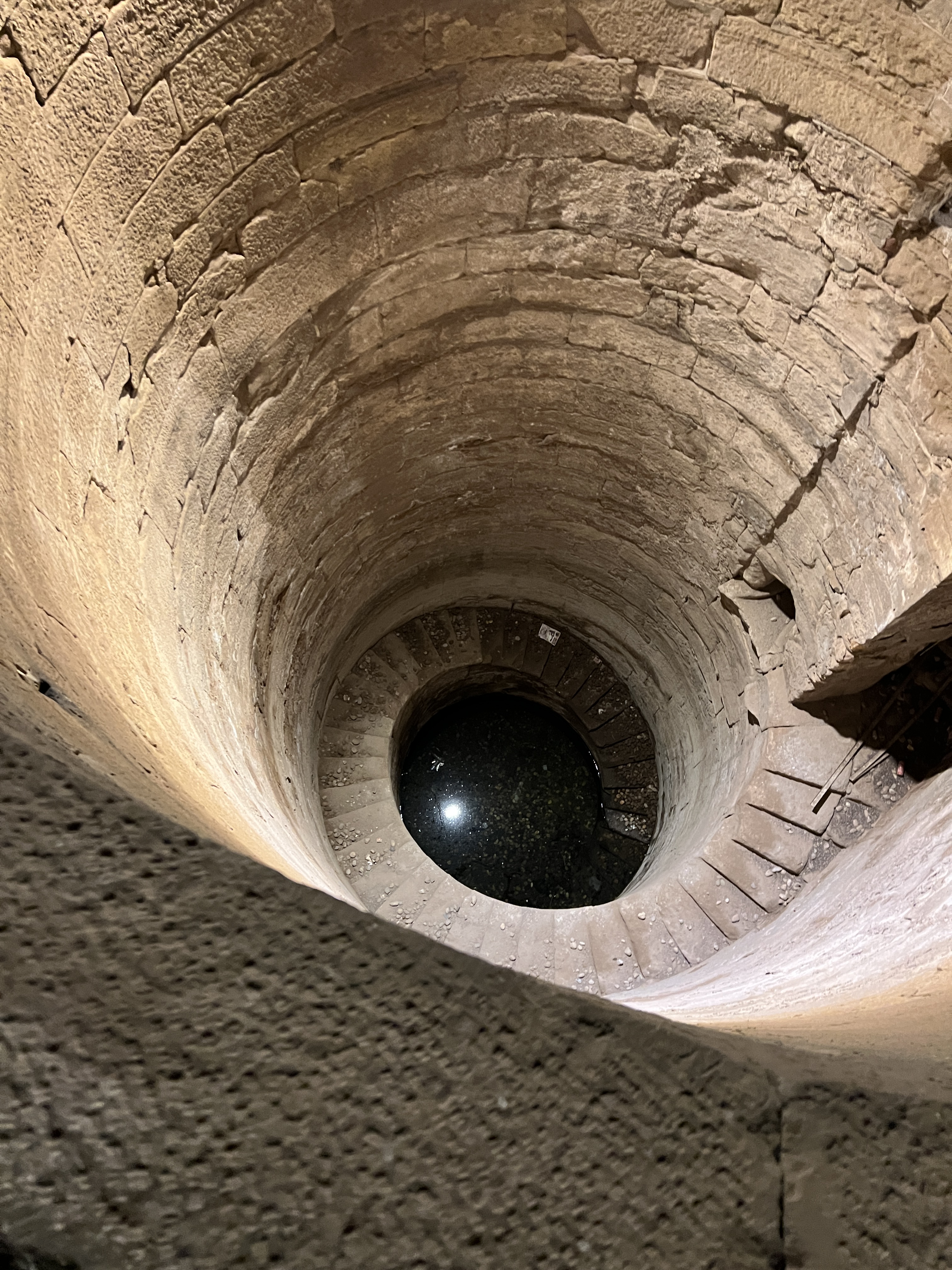
At times it felt a bit like visiting the castles, churches and cathedrals of Britain and Europe. ABC, ‘another bl….dy castle, church etc’, but this time ABT ‘another bl….dy temple’! The point though is the icons of Britain and Europe are at most like 300-800 years old or so, whereas these Egyptian icons are like 3-4,000 years old. Many of them buried under sand for hundreds of years. Quite remarkable.
The tombs in the hills behind Luxor tell a different story. That will be for next time!
Temples,Tombs and Tales II
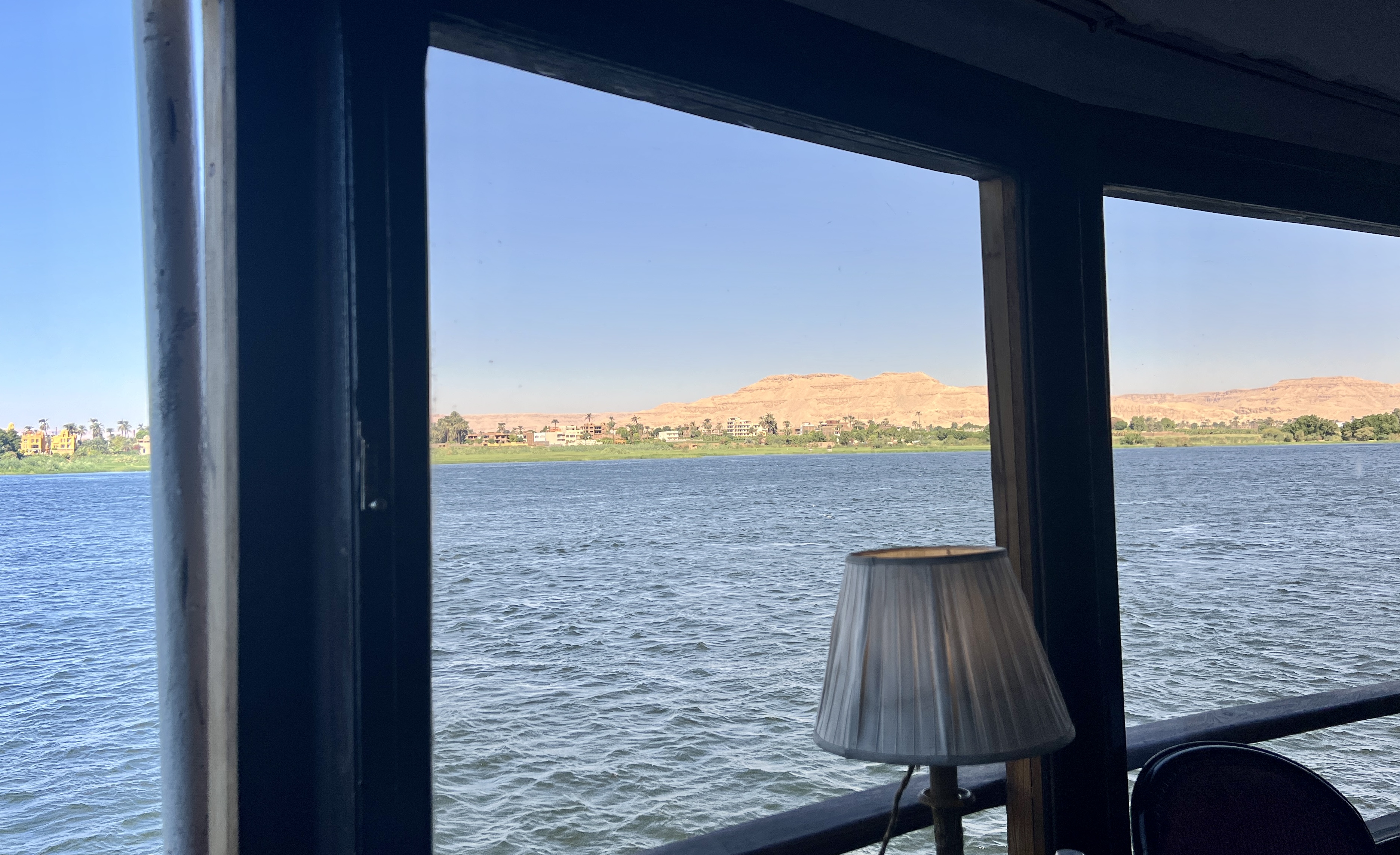
Steam Ship Sudan is the last of its kind on the Nile. It was originally built in the late 1800s as part of a Nile River Fleet for Thomas Cook, to capitalise on the emerging travel trade. Why SS Sudan? The King of Egypt also ruled the area that is now known as the country of Sudan, hence SS Sudan, there was also an SS Egypt. The Sudan now caters for 44 passengers in the style of the 1920s/30s, now with air conditioning and other mod cons, dress is more casual than a hundred years ago.
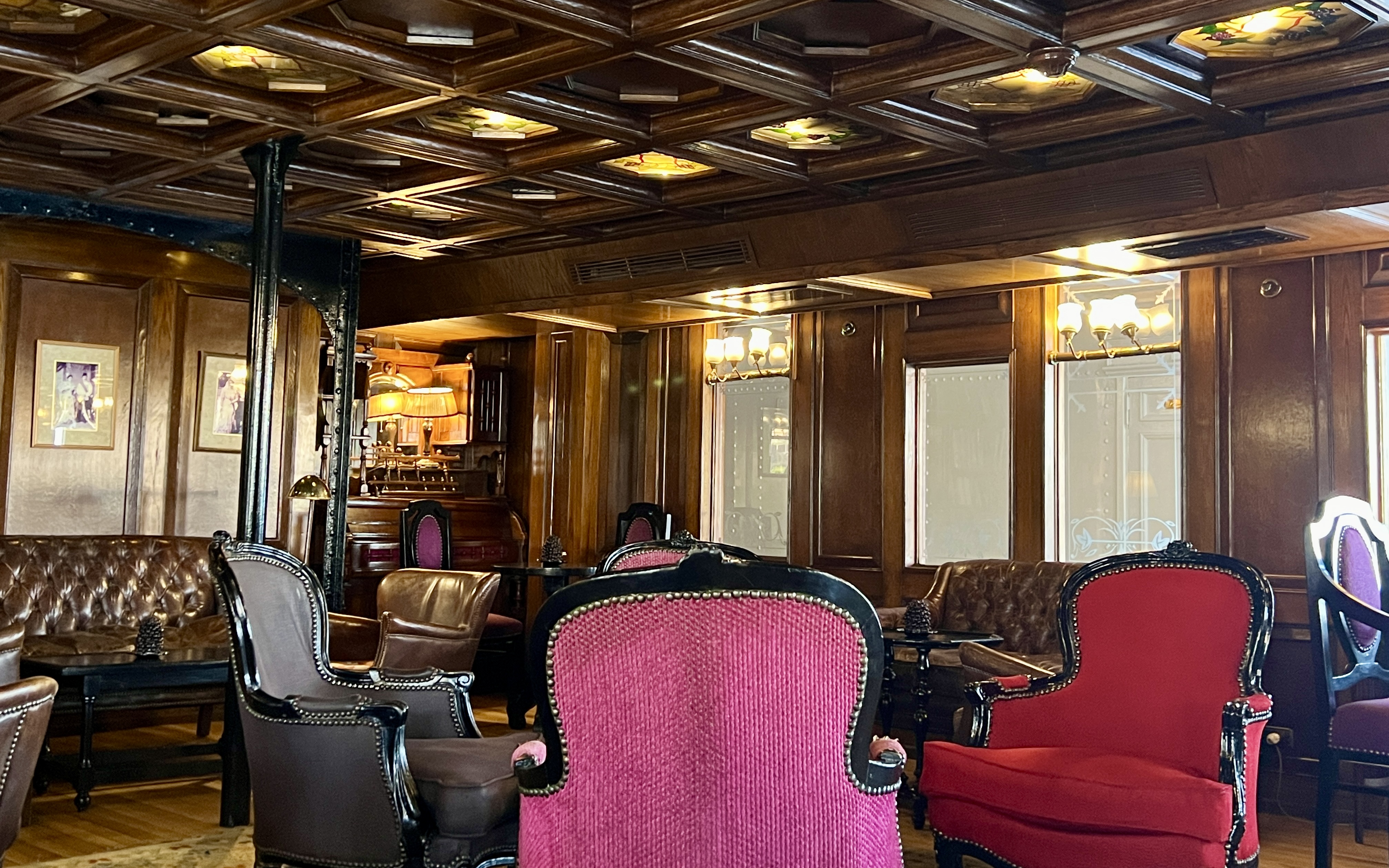
The bar area is rather elegant, plenty of room for a light pre dinner drink.
The bathrooms though are a little antiquated and hot water problematic in the mornings, particularly when we are moored overnight.
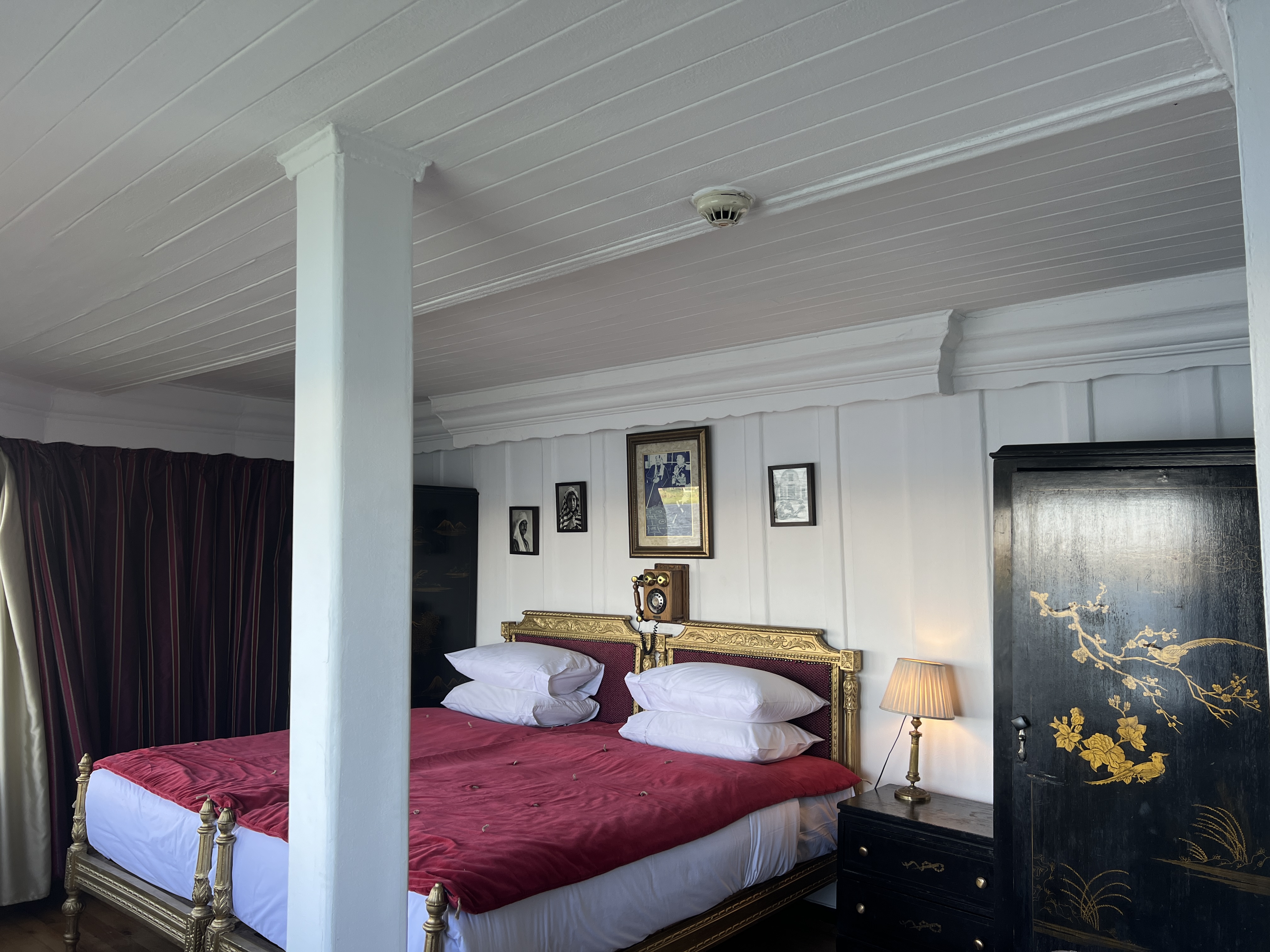
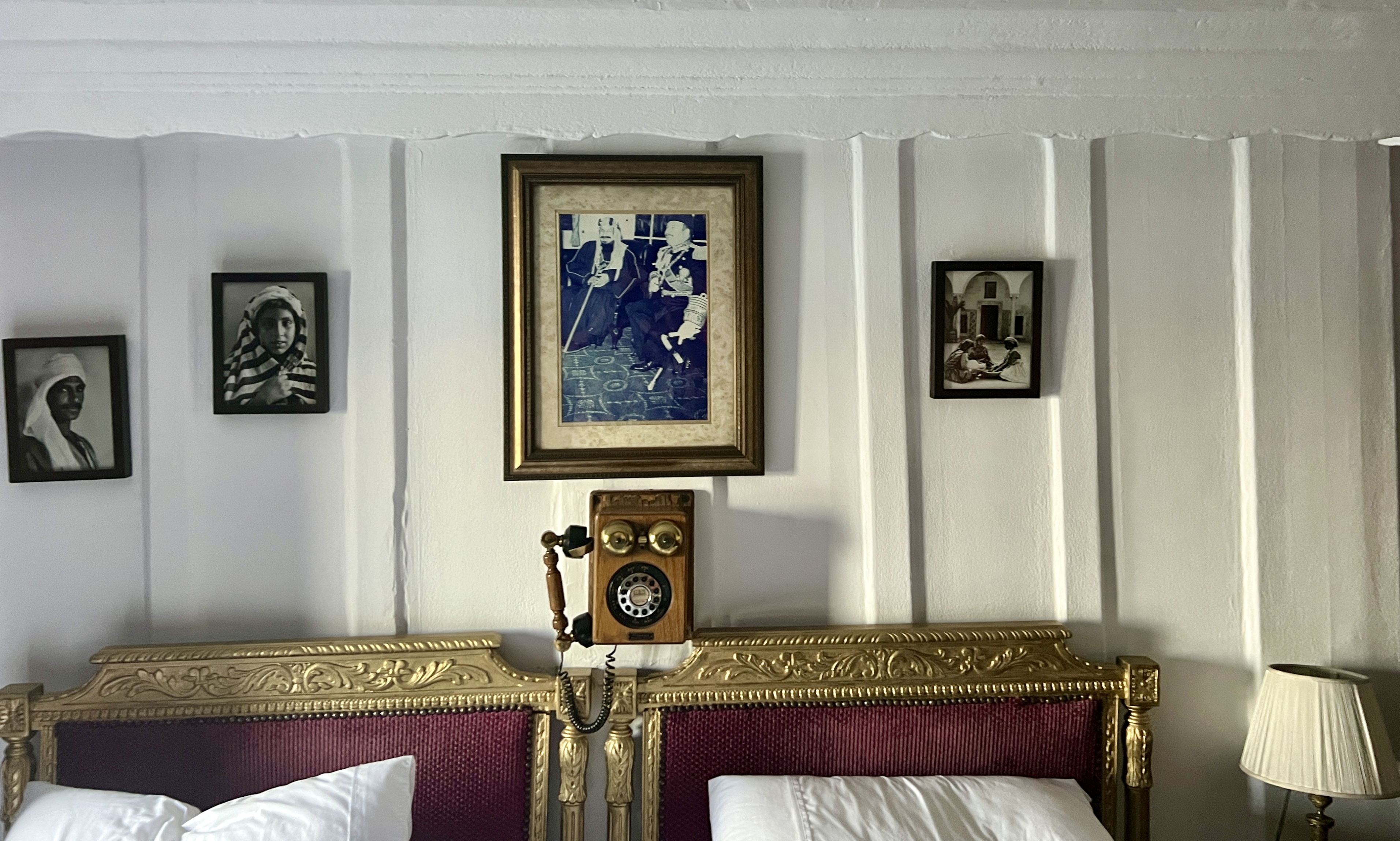
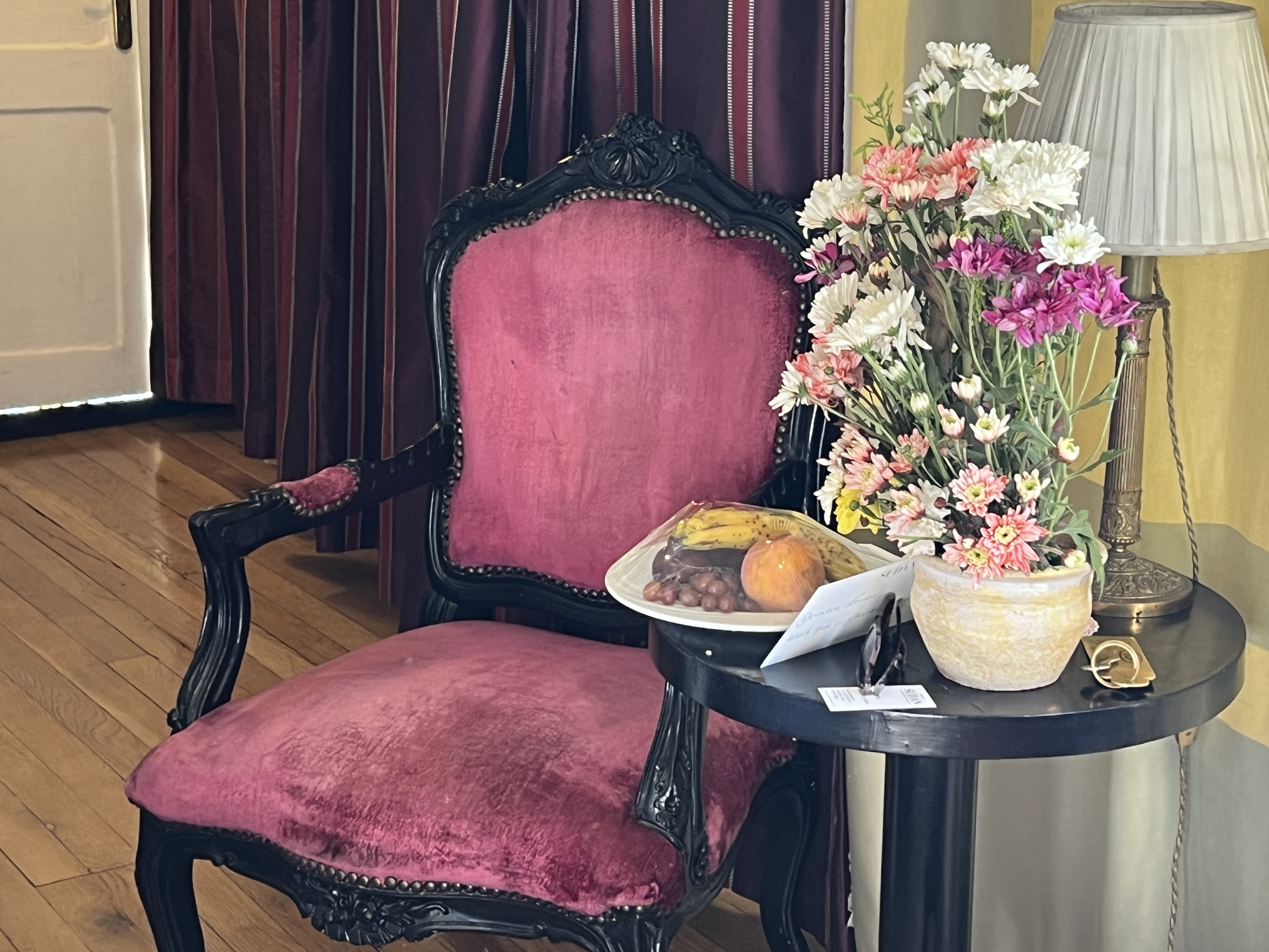
Pics of our cabin in the aft of the ship follow.
The food is great, local Egyptian spice flavours abound. Does look and feel like those Death on the Nile movies! A bit over half the passengers are French, couple of Americans, four Scots (from Fort William, where we were a few years back on our Caledonian Canal adventure) and a few other Europeans. Only us two Aussies.
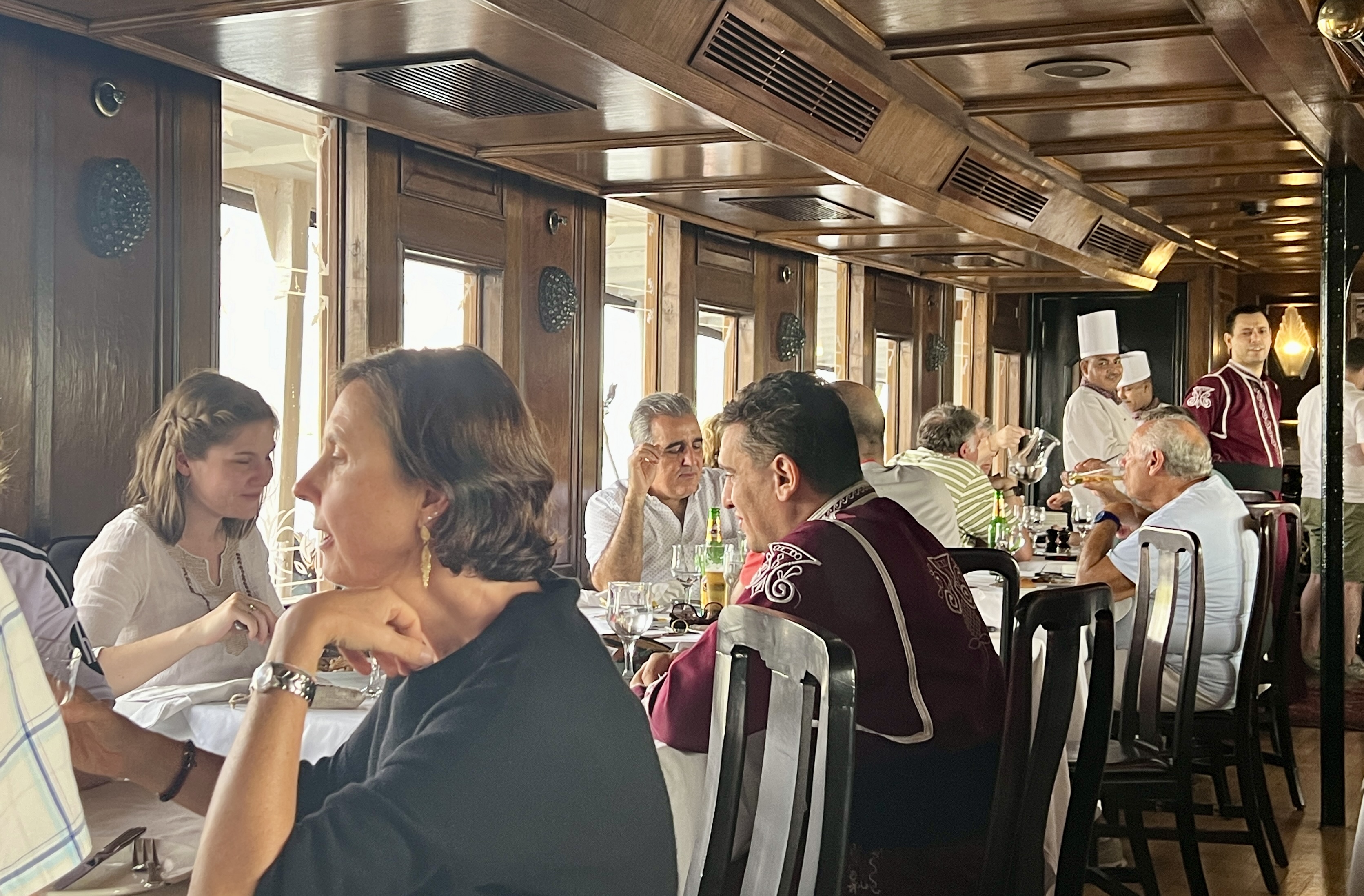
The Sudan is very popular with the French it seems, and they dominant the passenger list on most of the ship’s journeys down to Aswan. French is spoken on board, including the crew. Everything comes in English as well.
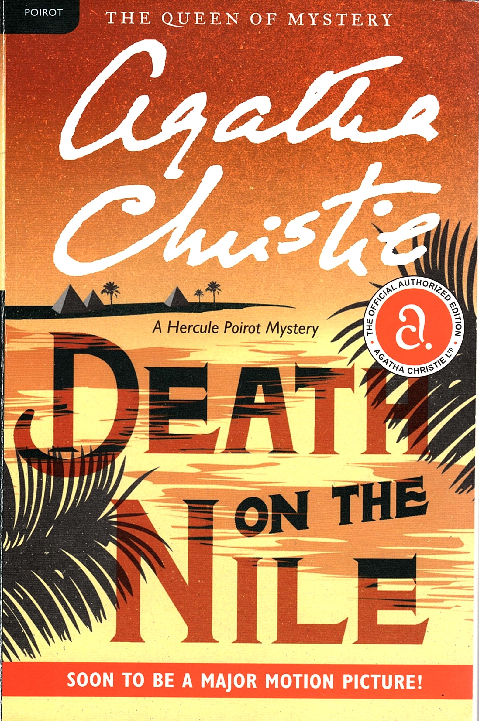
One evening, Death on the Nile was played on a pop up screen in the bar, the English version but with French sub titles ……..got to keep the continentals happy!
Now, getting back to the temples. But, we will leave that to next time!
Temples,Tombs and Tales 1.
It was our last day in Luxor before joining the SS Sudan on the journey up the Nile to Aswan. As planned we headed off early to the Luxor Temple, before the day would heat up. It was not far from the Winter Palace complex that was built in the late 1800s at the height of the European Egyptian tourism frenzy period.
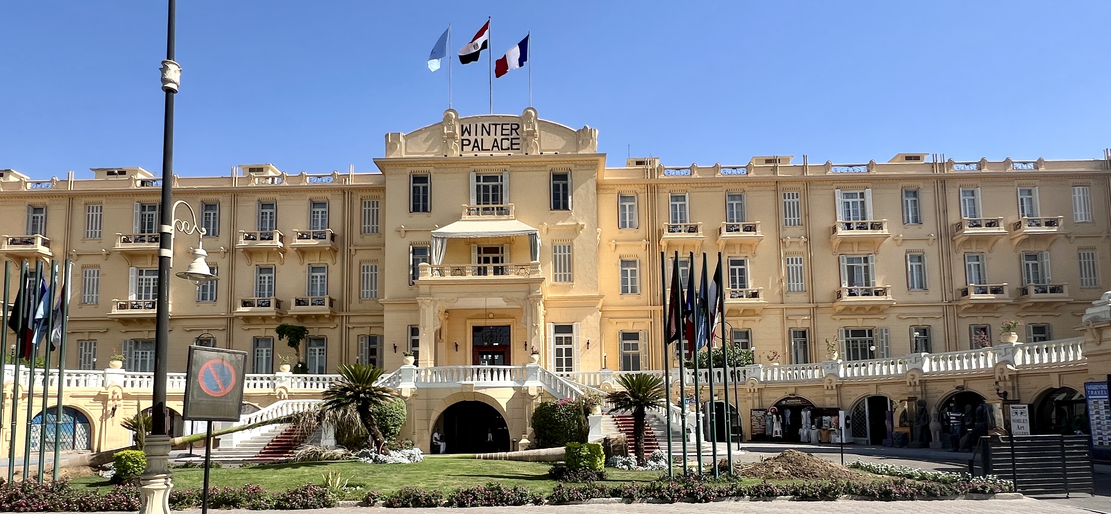
It is quite a stately place and hosted royalty, as well as the rich and famous. It is now an upmarket hotel. We are staying in the more recently constructed conventional hotel at the other end of the gardens, known as the Winter Pavilion.
It was again a battle through the taxi drivers and horse carriages but we made it to the Temple in good time. It is not a large complex, but still impressive as a first up experience of Egyptian historical antiquity.
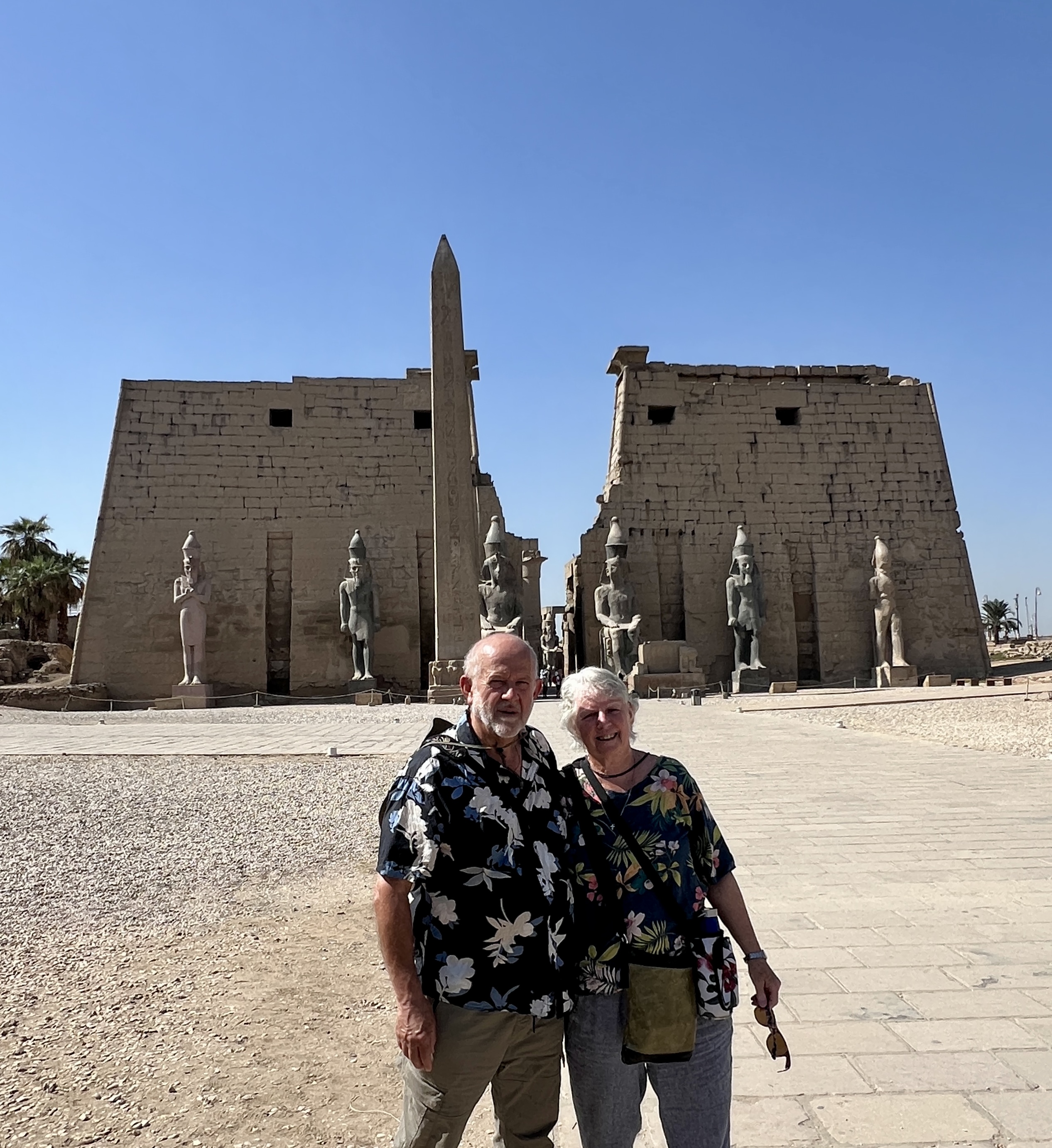
The entrance gate to the temple is flanked by large statues of the various kings that contributed to its construction. Very impressive. Bit of a tourist trap here as a site security guard offered to take this picture, as well as a few others, £EGP 50 later we escaped his clutches.
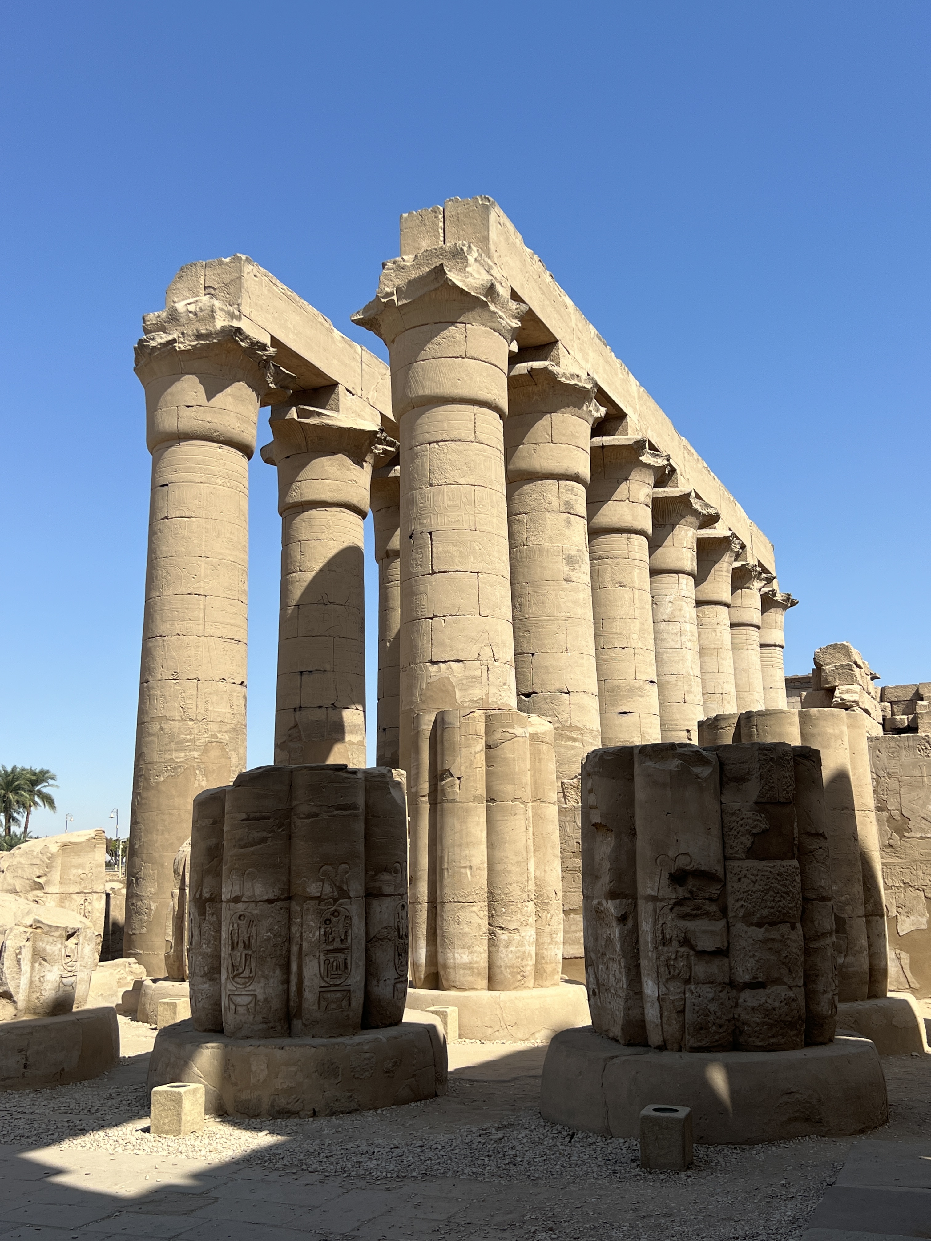
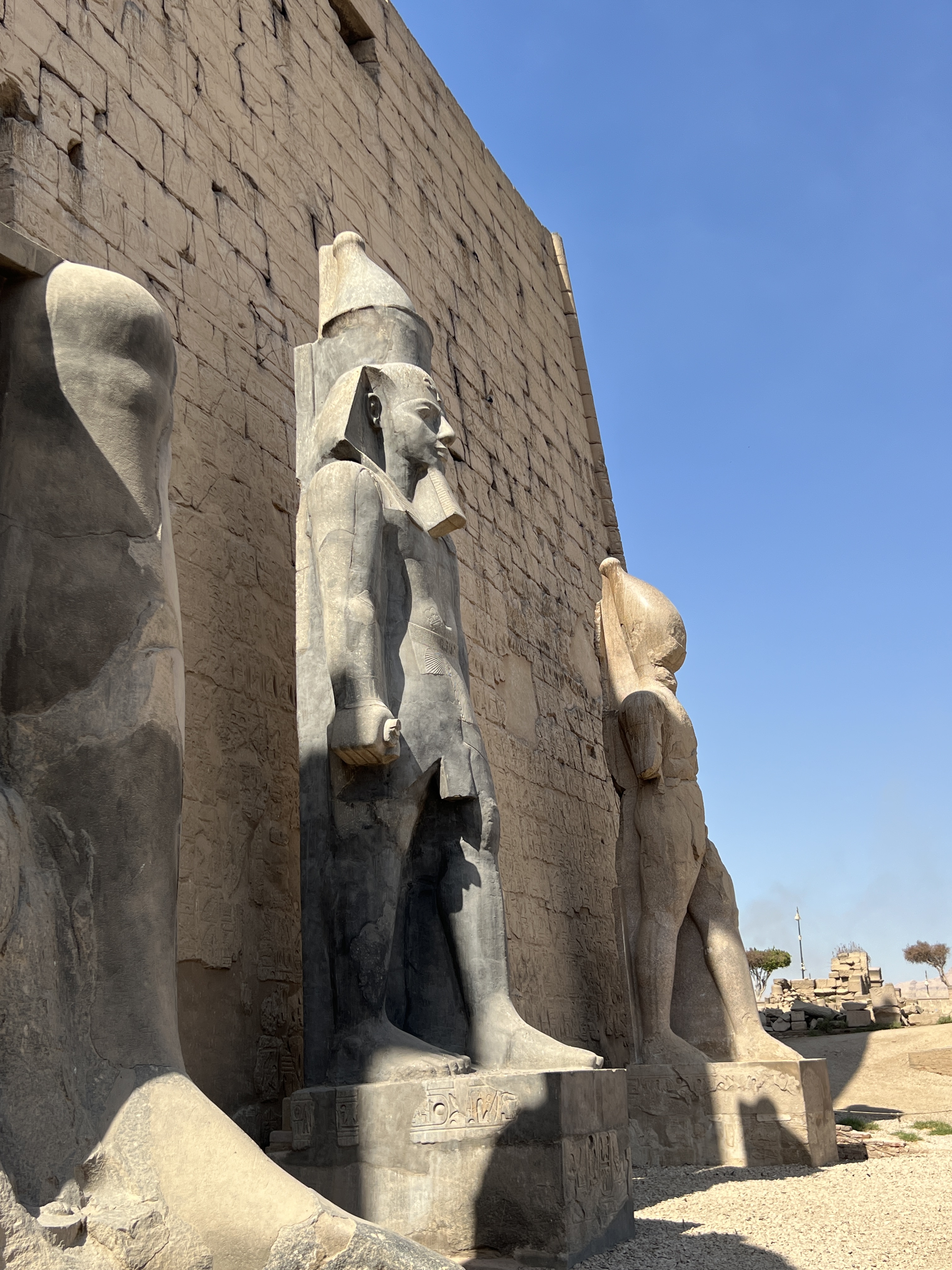
We wandered around through the columns and other statues. A bit hard to take it all in without a guide. As we found out later a guide is great for helping to understand how the flow of activity took place in the temple. As well as the interpretation of the art work and hieroglyphs that adorn the walls and columns.
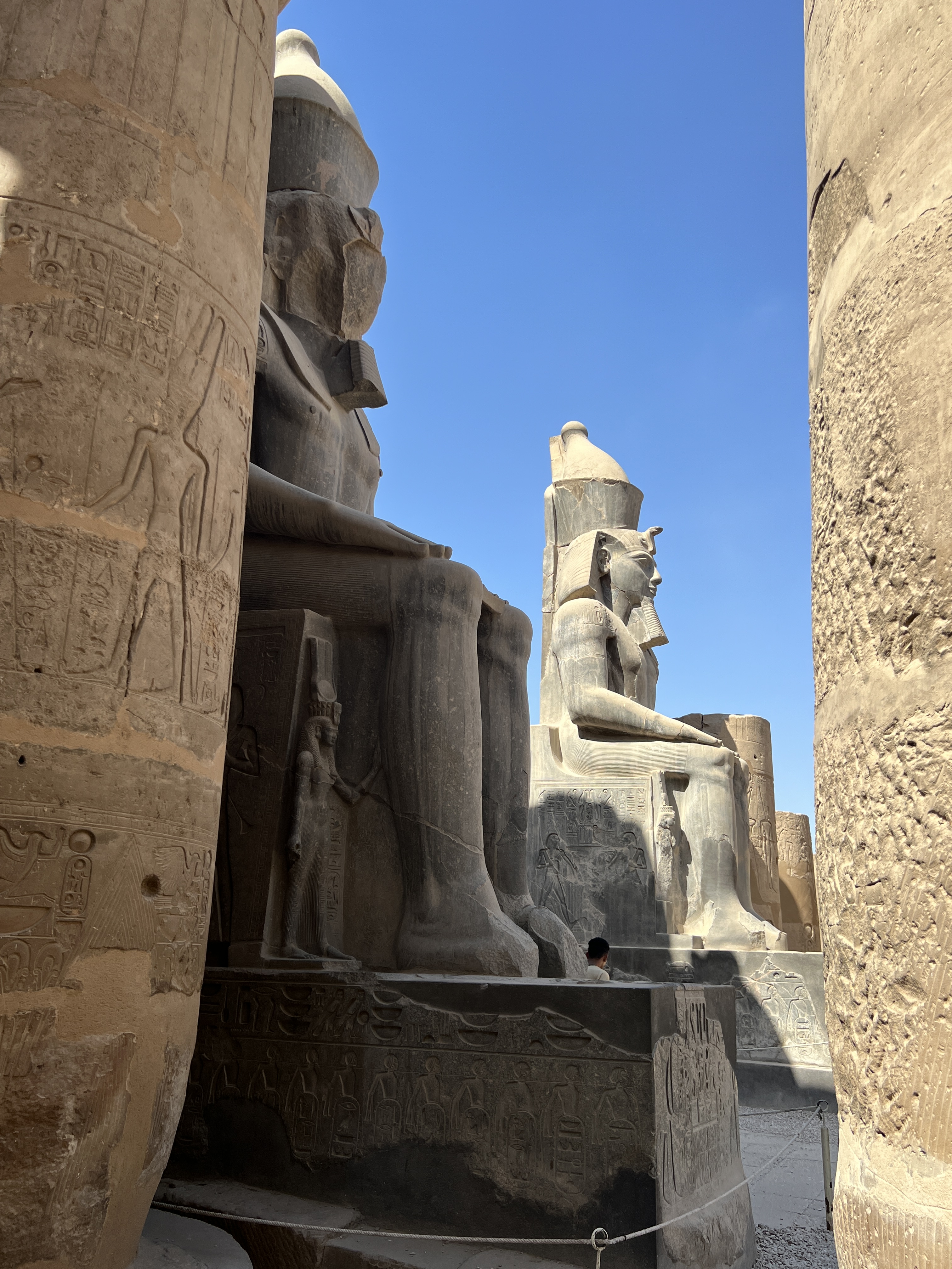
A major feature of the complex is the Avenue of Sphinxes. It stretches for 2.7 km from the Luxor Temple to the Karnak Temple, both sides flanked by several hundred various types of Sphinx, about 4 metres apart. There is a replica of a boat the King would travel (carried by numerous servants) in on the journey between the two temples. It would take six days with numerous stops along the way for rituals.
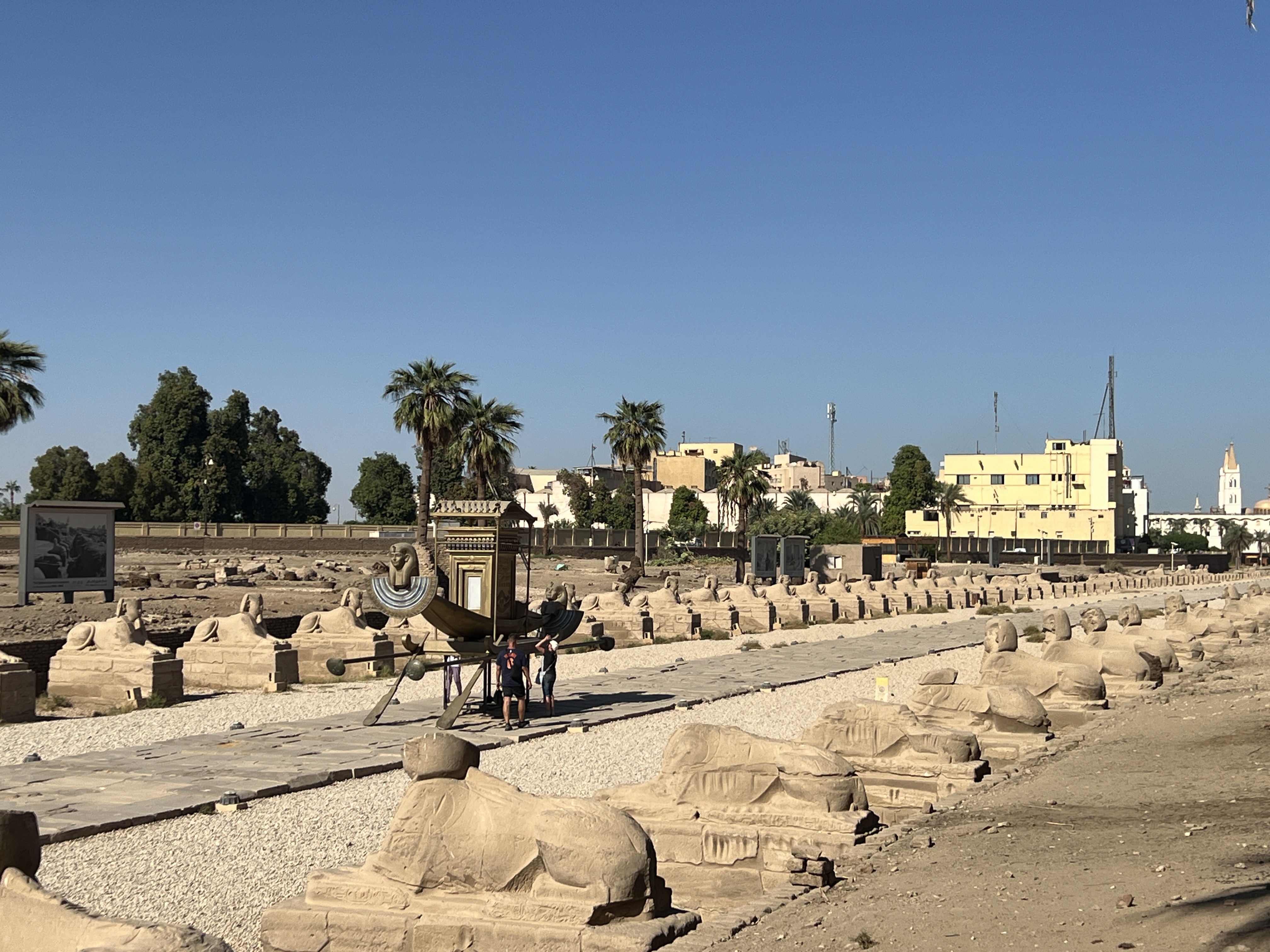
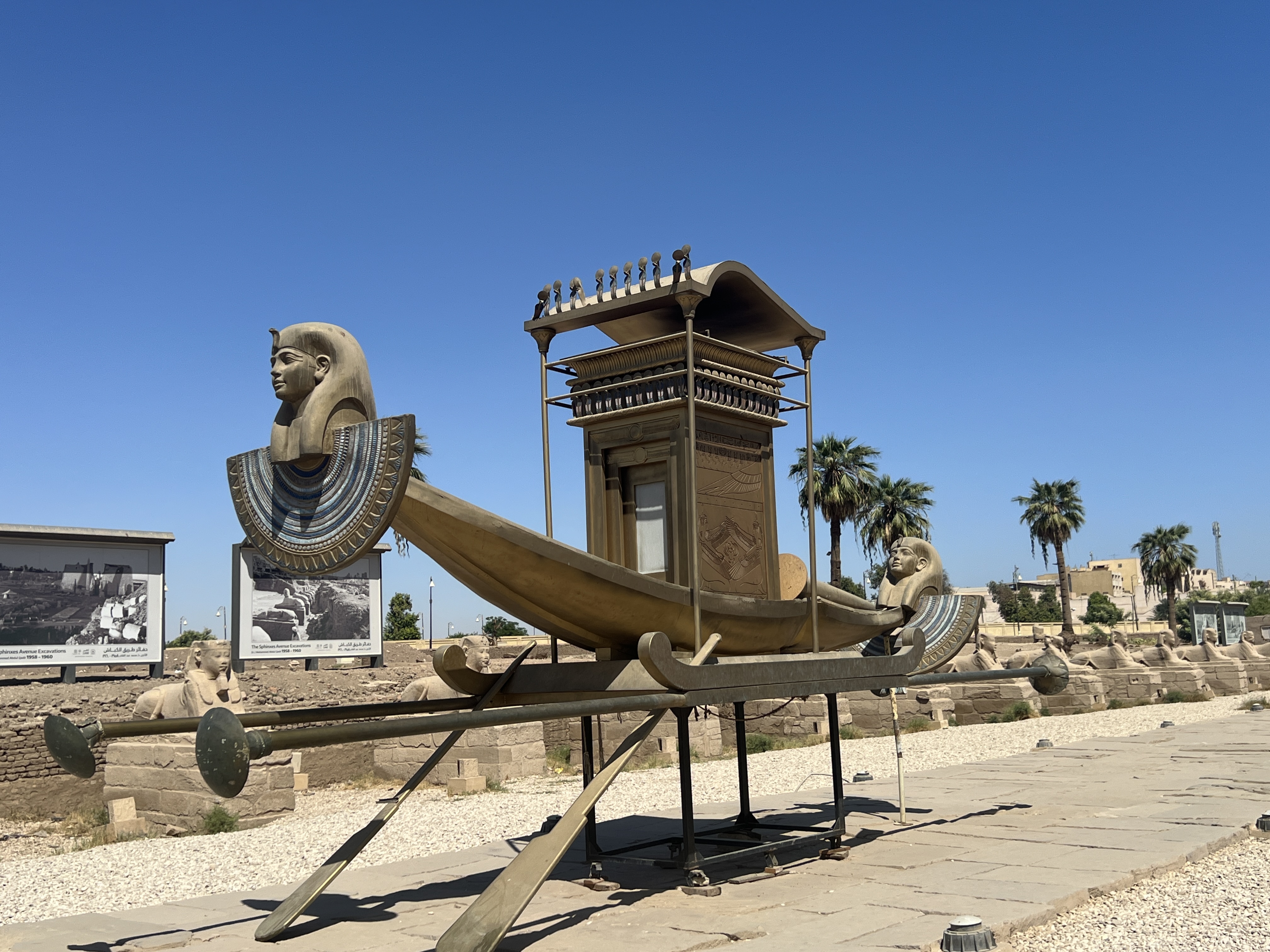
The avenue was completely covered by sand and excavated by various groups in bursts over many years to reveal the route. Quite amazing work.
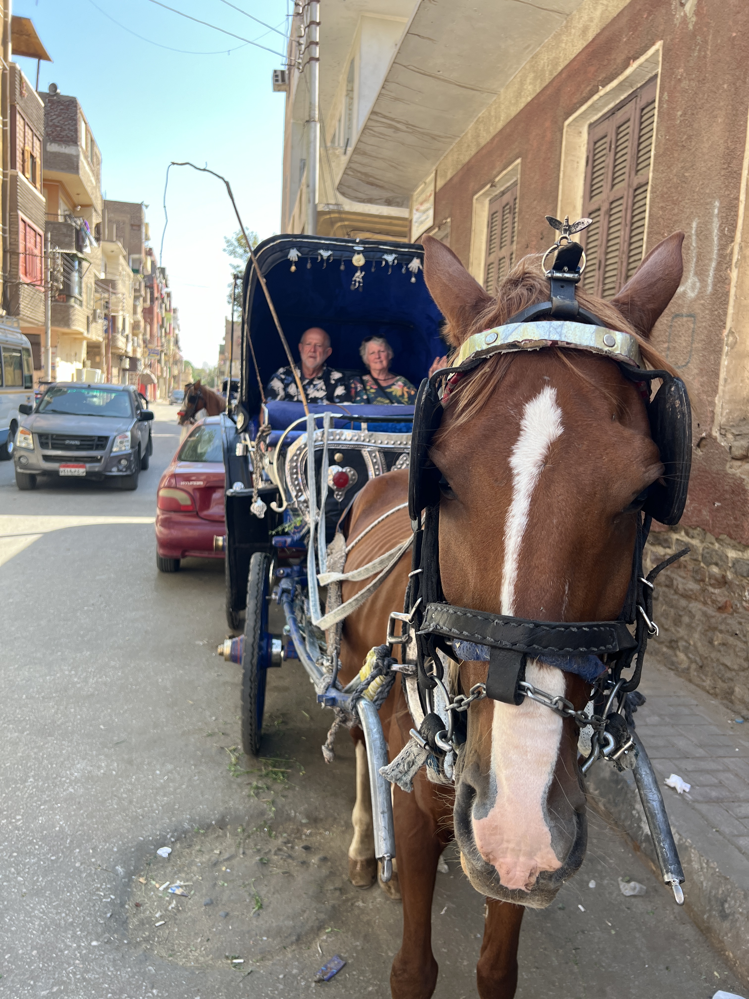
After leaving the temple we succumbed to a horse carriage ride to our luncheon venue, Sofra. This local restaurant is in the back streets and located on a covered roof with open sides, scattered tables and carpets.
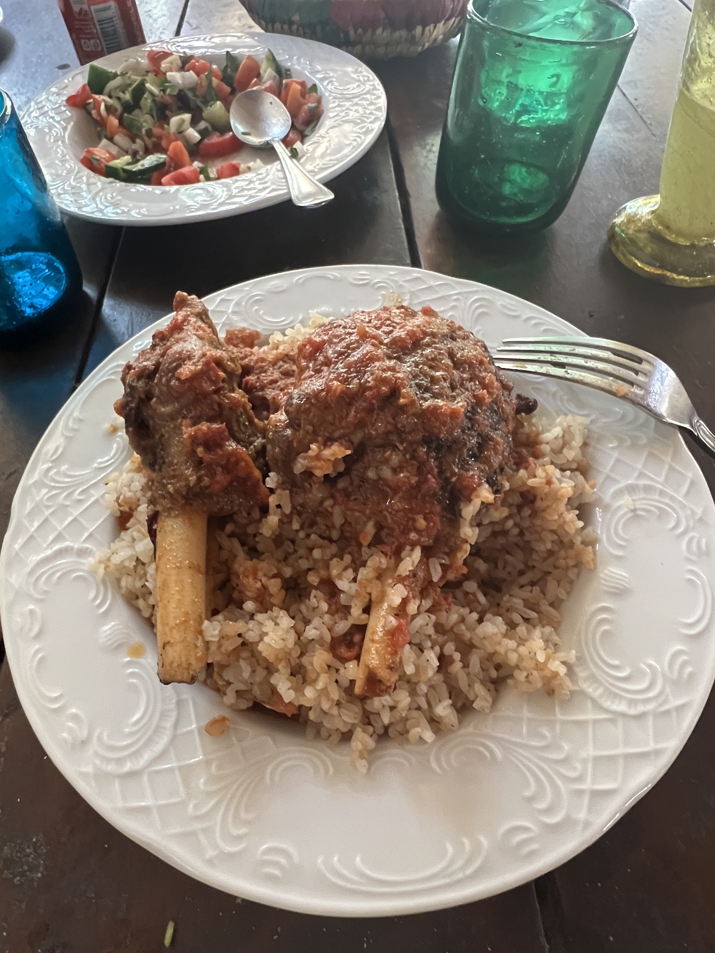
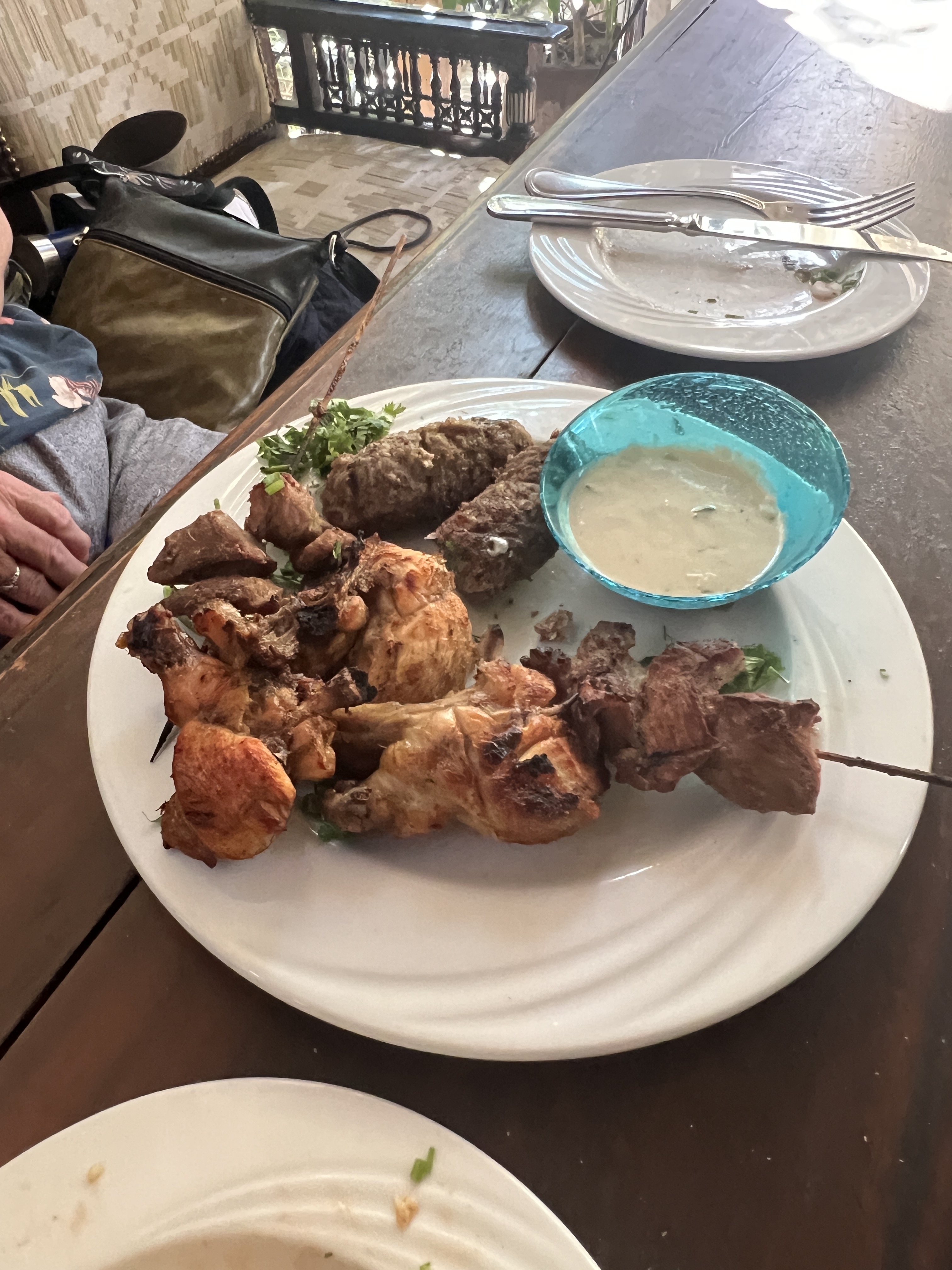
Meal was excellent. A good recommendation. The carriage had waited for us down stairs for an hour or so, as the horse needed to be fed.
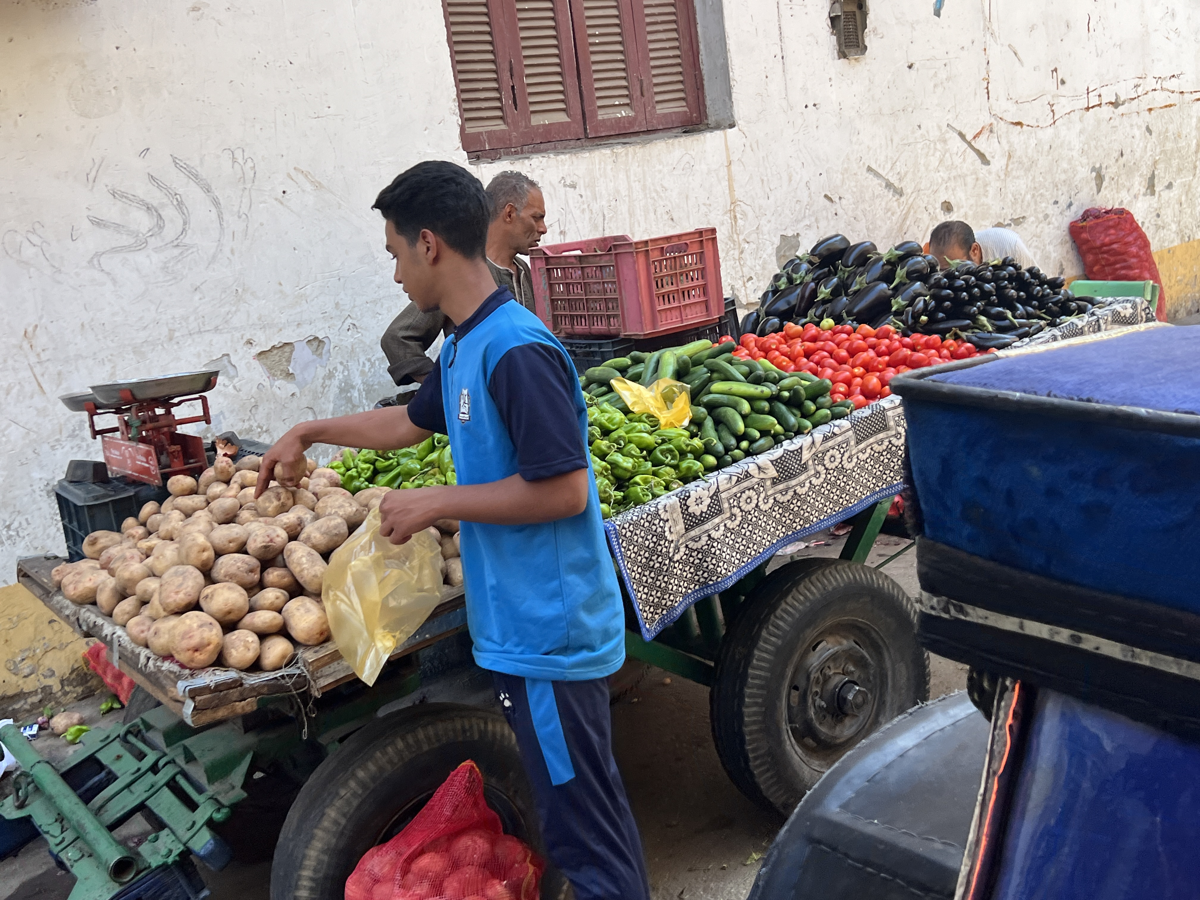

The trip back to the hotel was a bit of a tour through the local business district, weaving in and out of the traffic.
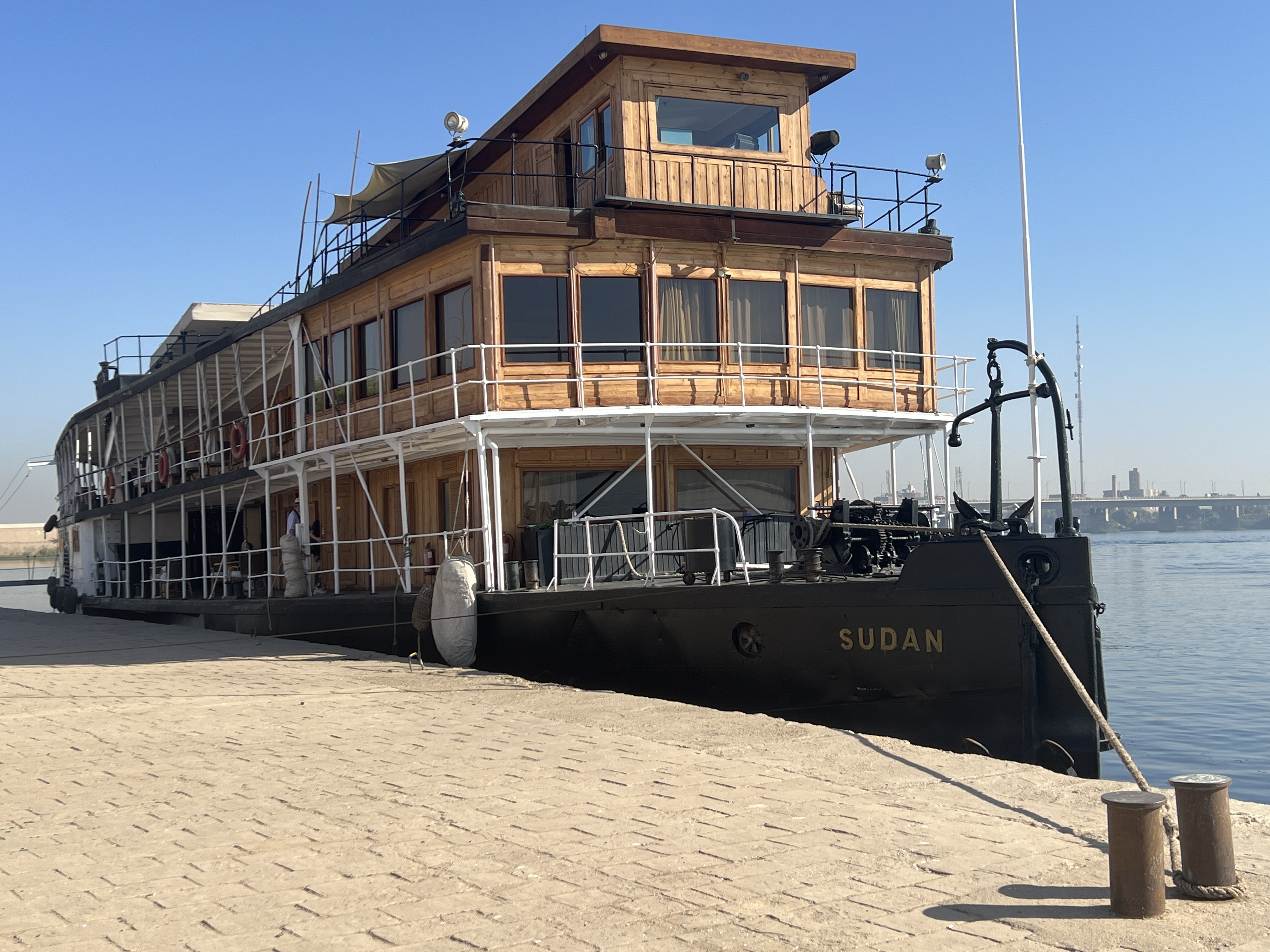
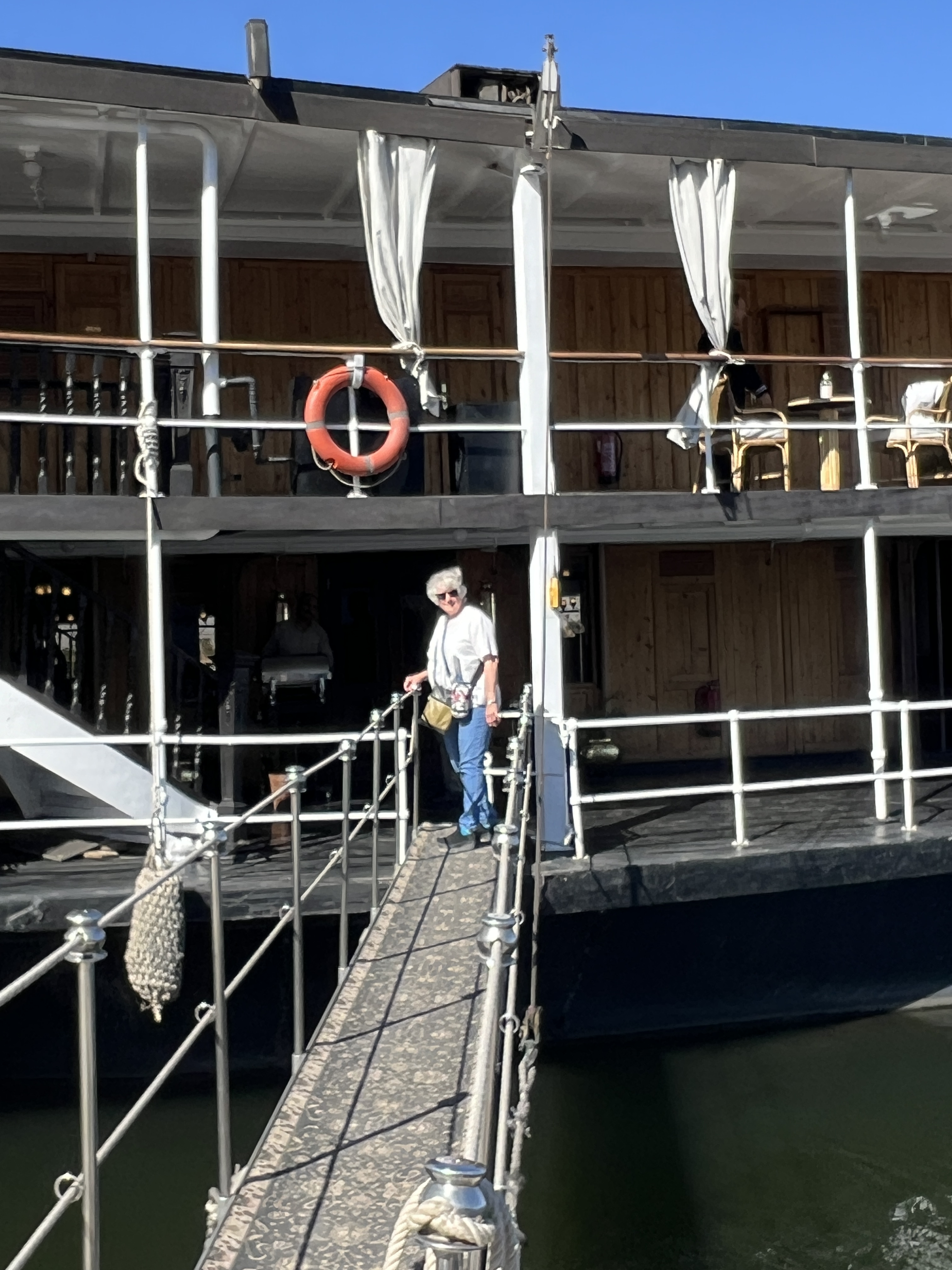
Next morning we were transferred to the dock to join the SS Sudan on the journey to Aswan.
Luxor
Our flight from Nairobi was smooth going, Egypt Air did well. Only an hour late in getting away but made up time on the way north to Cairo. An interesting flight path took us away to the east avoiding most of the border with Sudan and a long way east of Khartoum. A troublesome border for both Kenya and Egypt. The flight followed the Red Sea north, avoiding the bottom end near Aden another troublesome place.
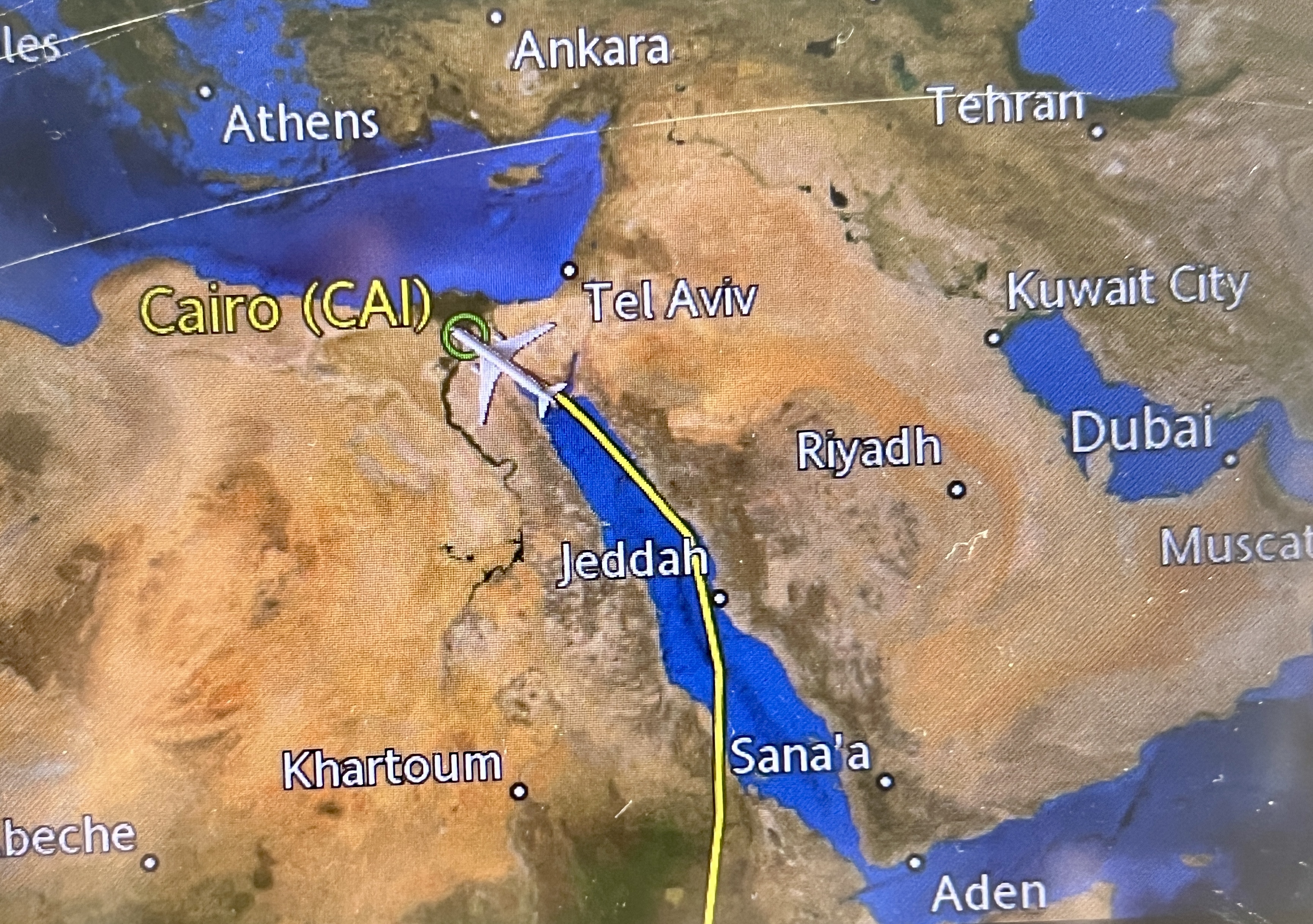
We passed over the entrance to the Gulf of Aqaba which we had sailed up on our recent cruise. Finally, a hard left to Cairo below the entrance to the Suez Canal.

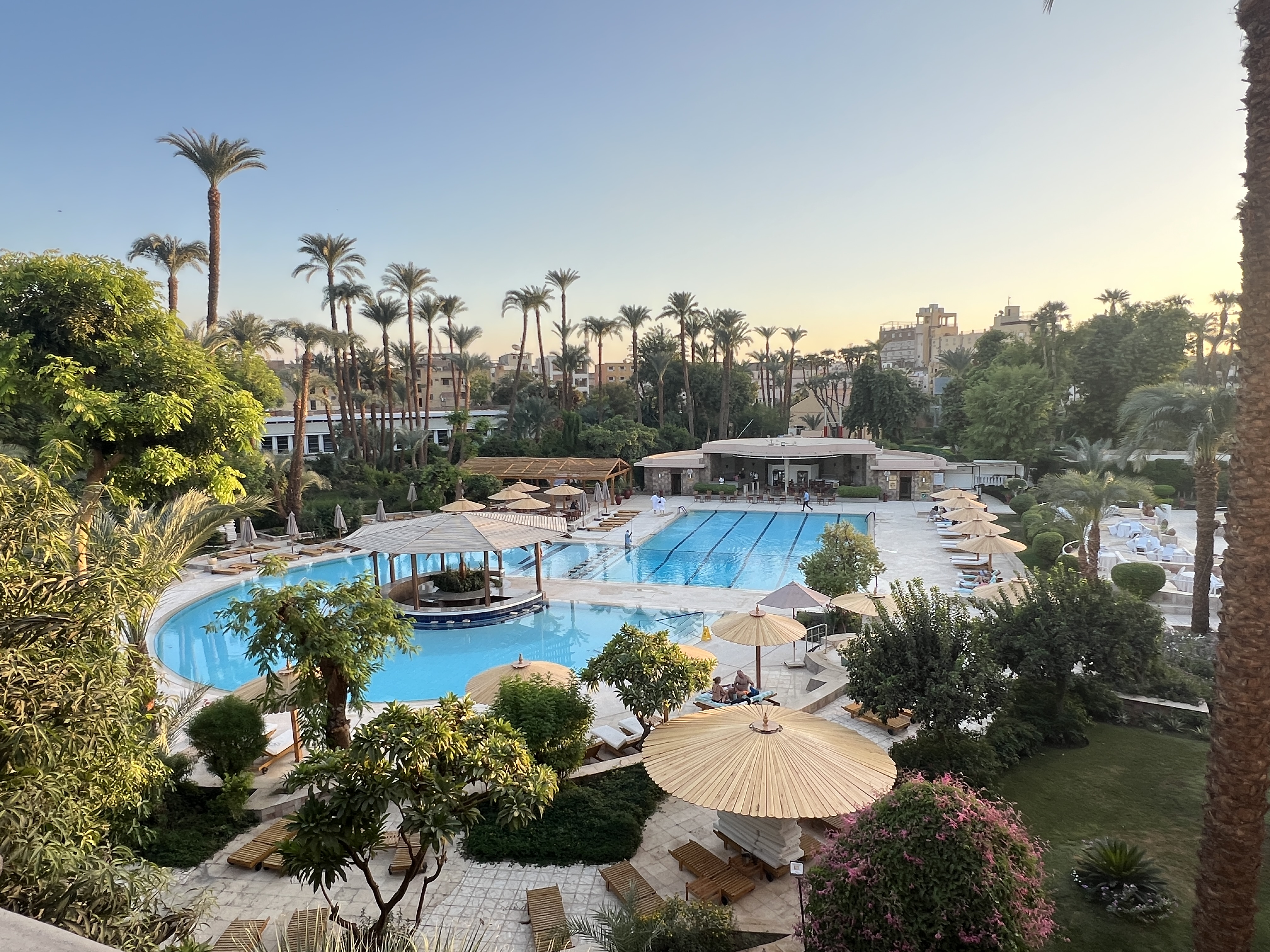
No dramas at Cairo in getting our on the spot visa and transferring through to the domestic flight to Luxor. An hour later we arrived and a prearranged car transfer took us to the Winter Pavilion, on the banks of the Nile. Great spot for three nights before our journey aboard the SS Sudan up the Nile to Aswan.
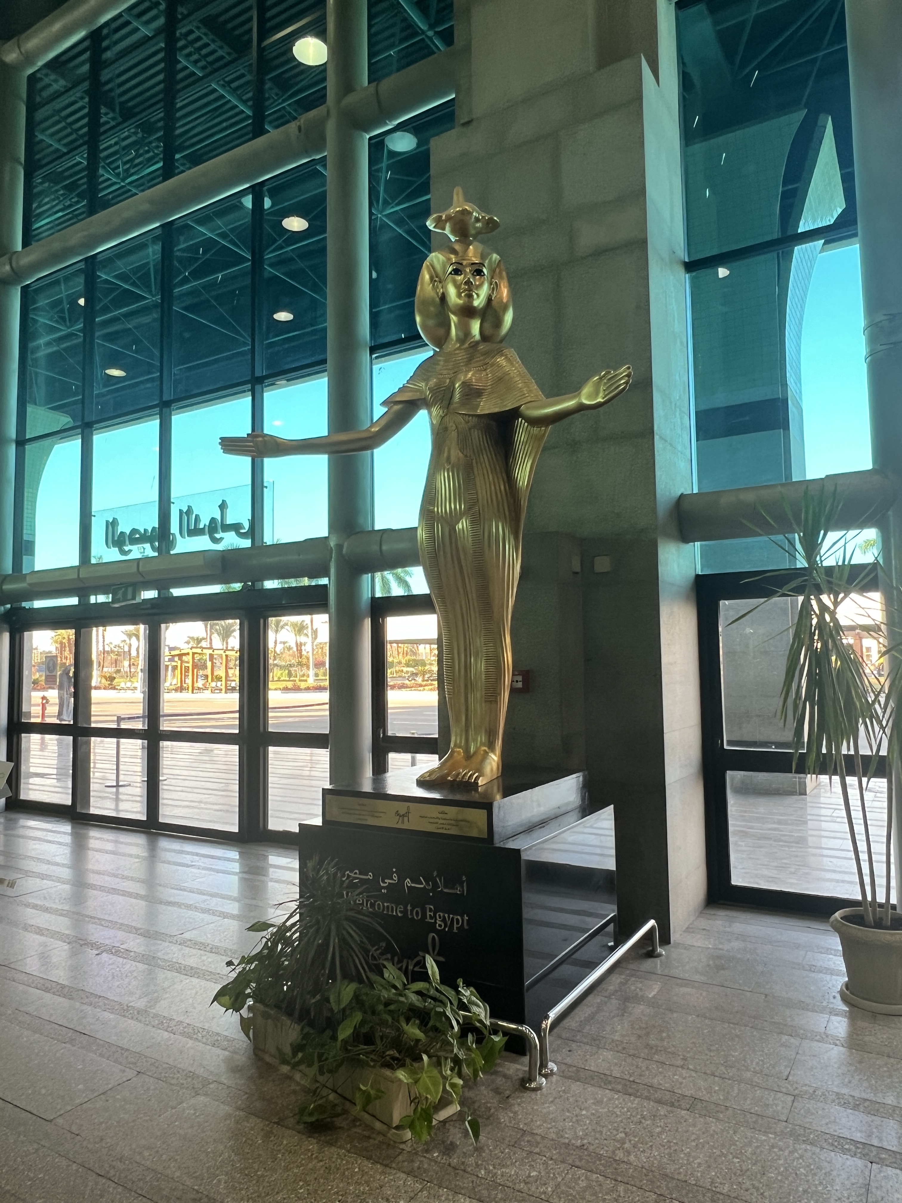
Our first day here was a little sluggish, enjoying a sleep in after the rigours of the early rises on the safari. In the late afternoon we strolled to the Luxor Museum, about 35 dg. It was further away than what we thought, up past the Luxor Temple, but we made it by the late opening time of 5pm. Avoiding numerous offers of transport by taxi drivers and horse drawn carriages.

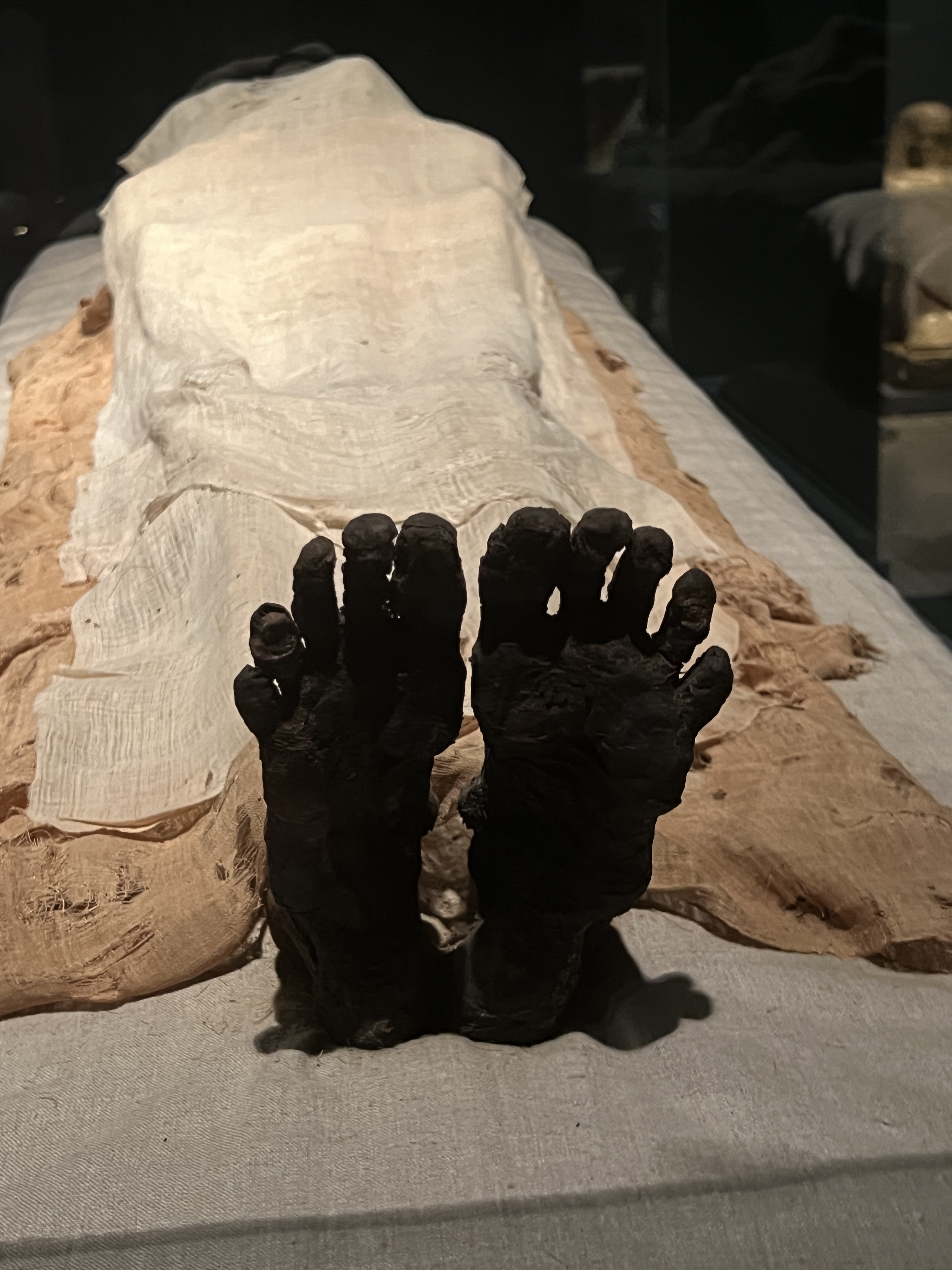
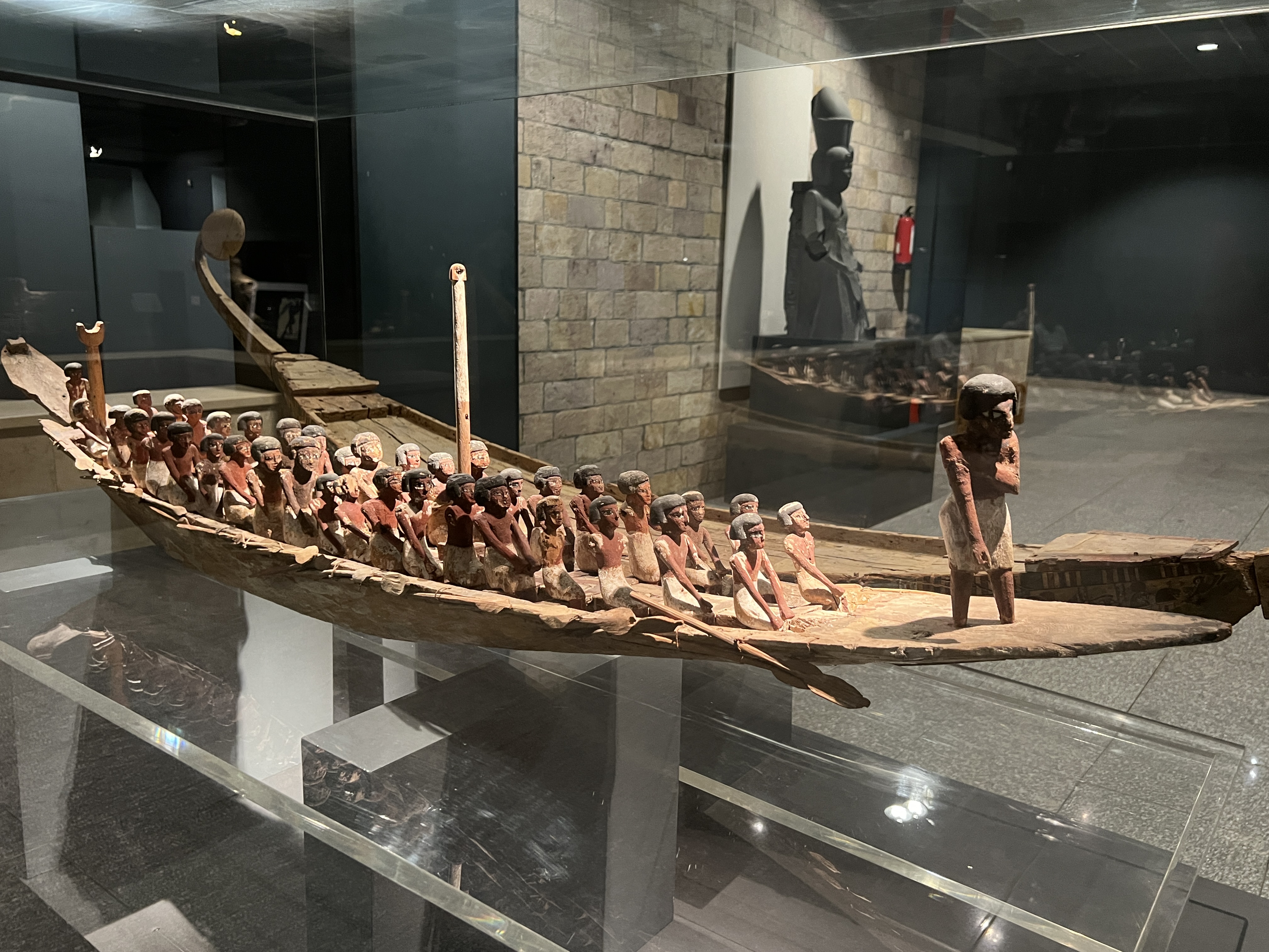
The museum displayed various objects from the Luxor and Karnak Temples. A couple of mummies were impressive as was an ancient model boat. Our visit was short cut by a local getting rather excited, perhaps some sort of fit. Drew quite a crowd and so we left.
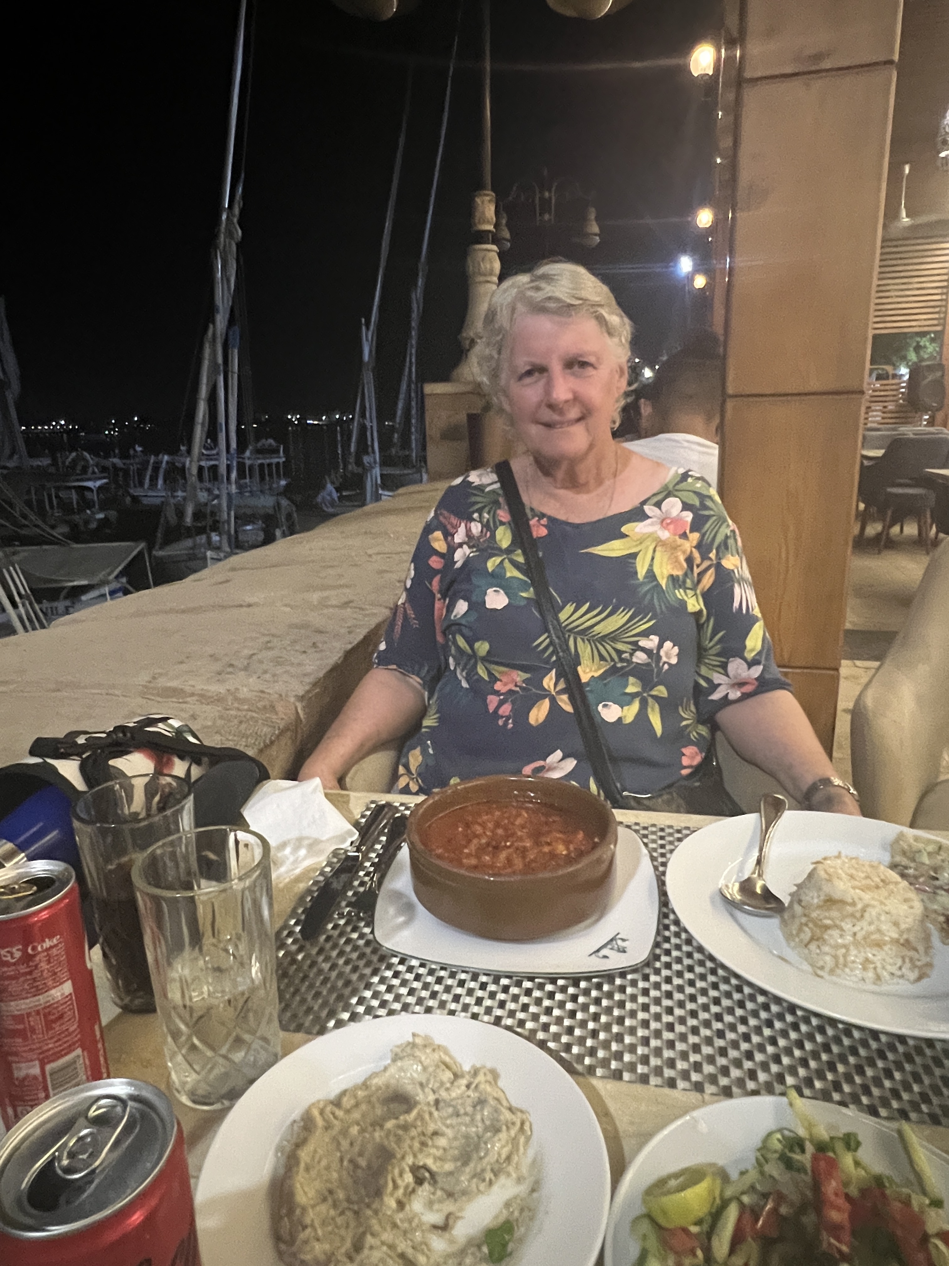
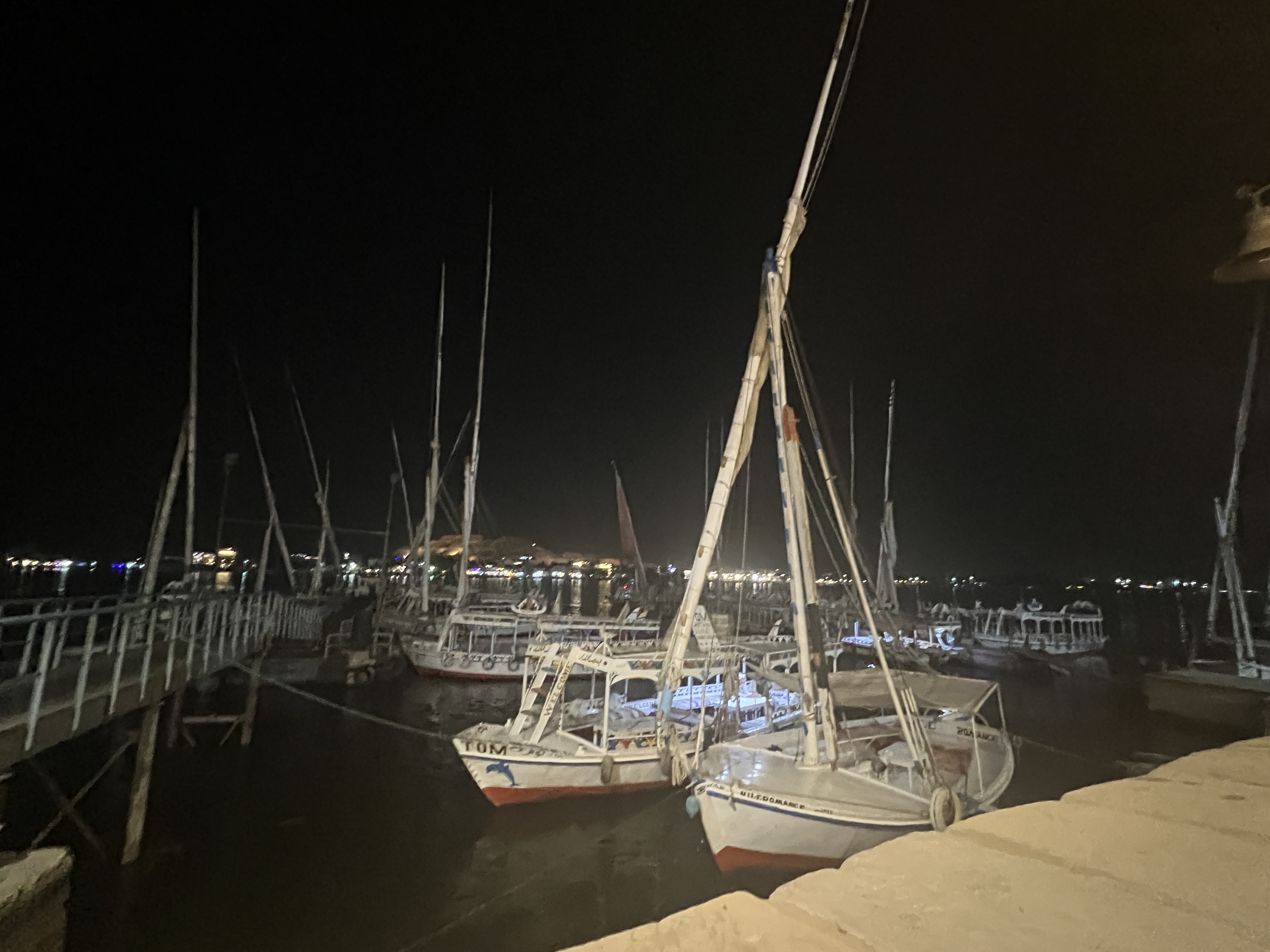
It was now getting on towards 6.30 so we strolled back down the river, stopping for dinner a riverside cafe. Rather basic, but friendly and the food was tasty and plentiful!
The next day started early. Allthego had arranged s balloon flight and was up at 4.50am for the pick up. Homealone was true to name and had another sleep in.
Arrived at the launch site a bit after 6am but take off was delayed until well after sun rise due to unfavourable upper level winds, which were blowing towards the Nile and the airport. They needed to blow the other way.
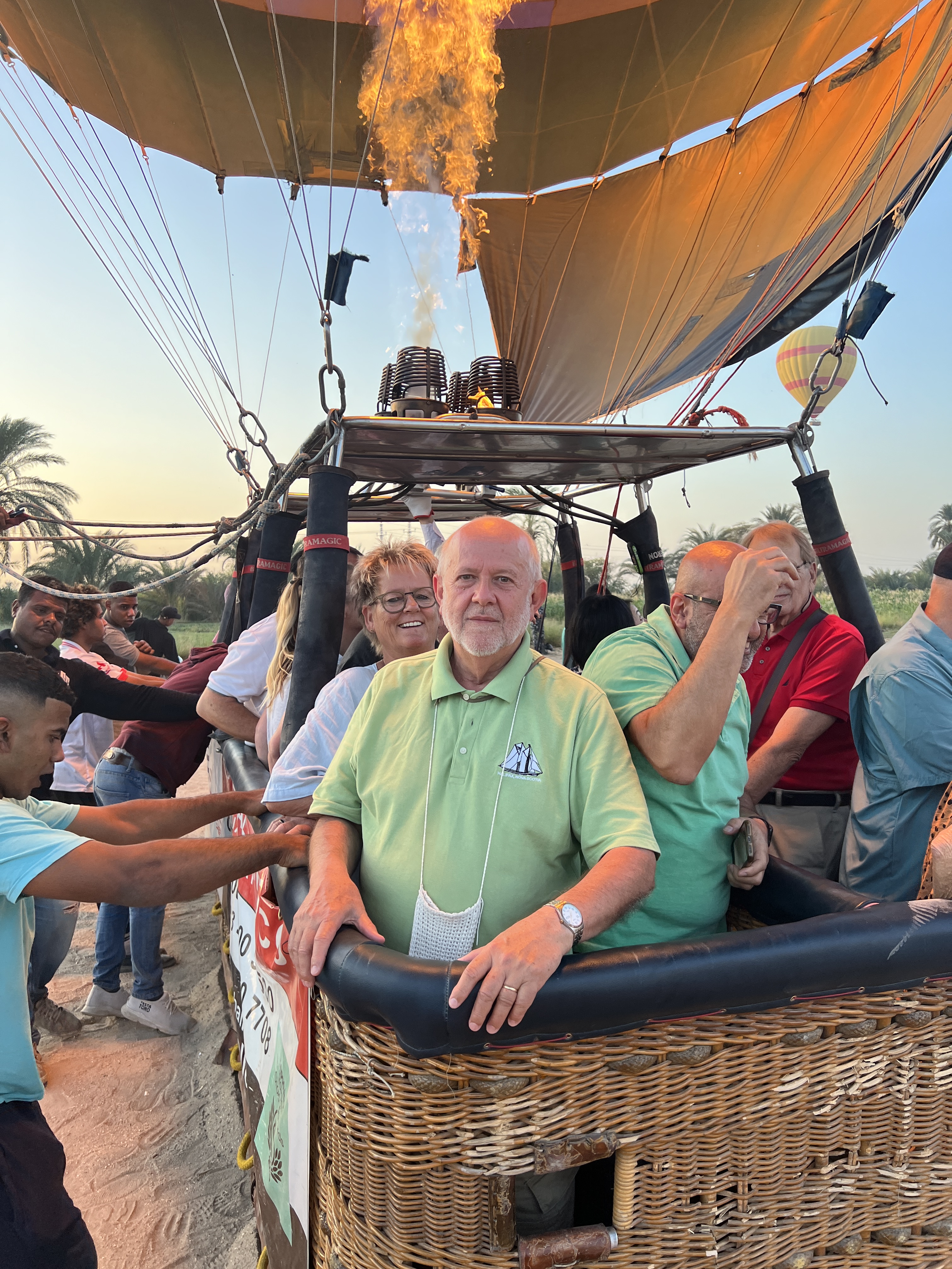
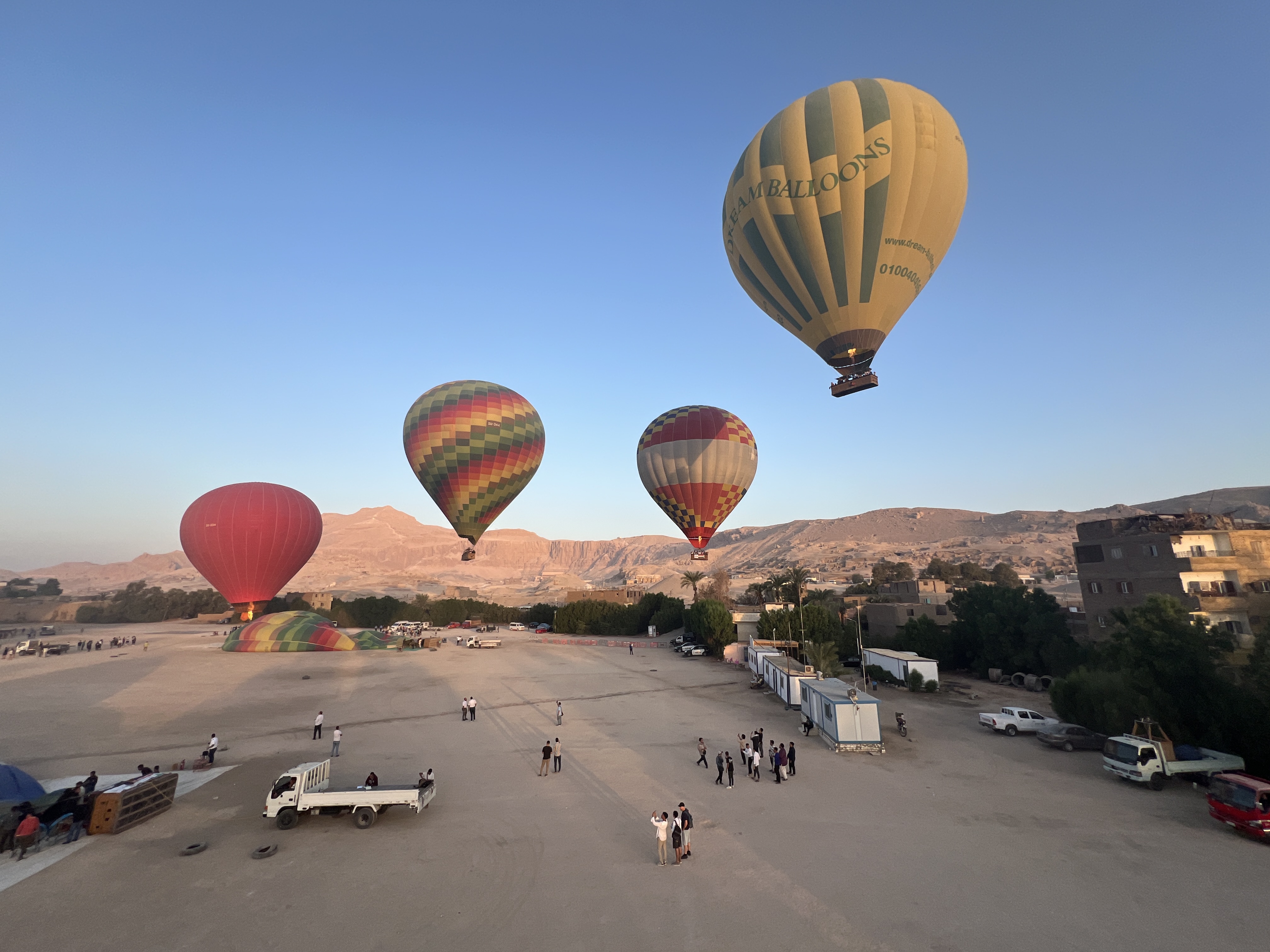
Eventually, we were cleared for take off and away we went. Just a gentle rise and drift away, periodic spurts of the burner when we headed higher. Maximum height reached was around 550 metres, but frequently were not far above houses and vegetation.
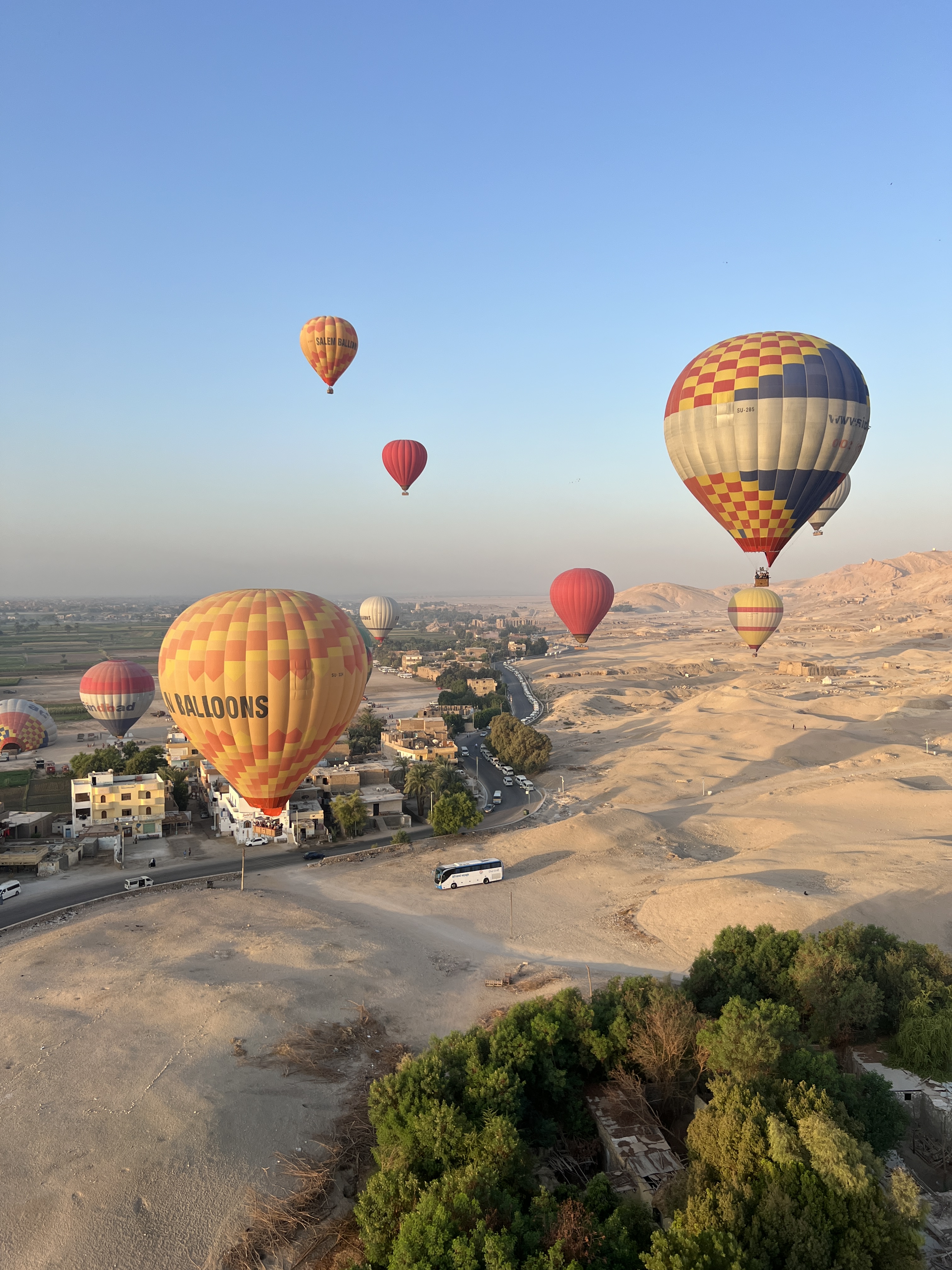
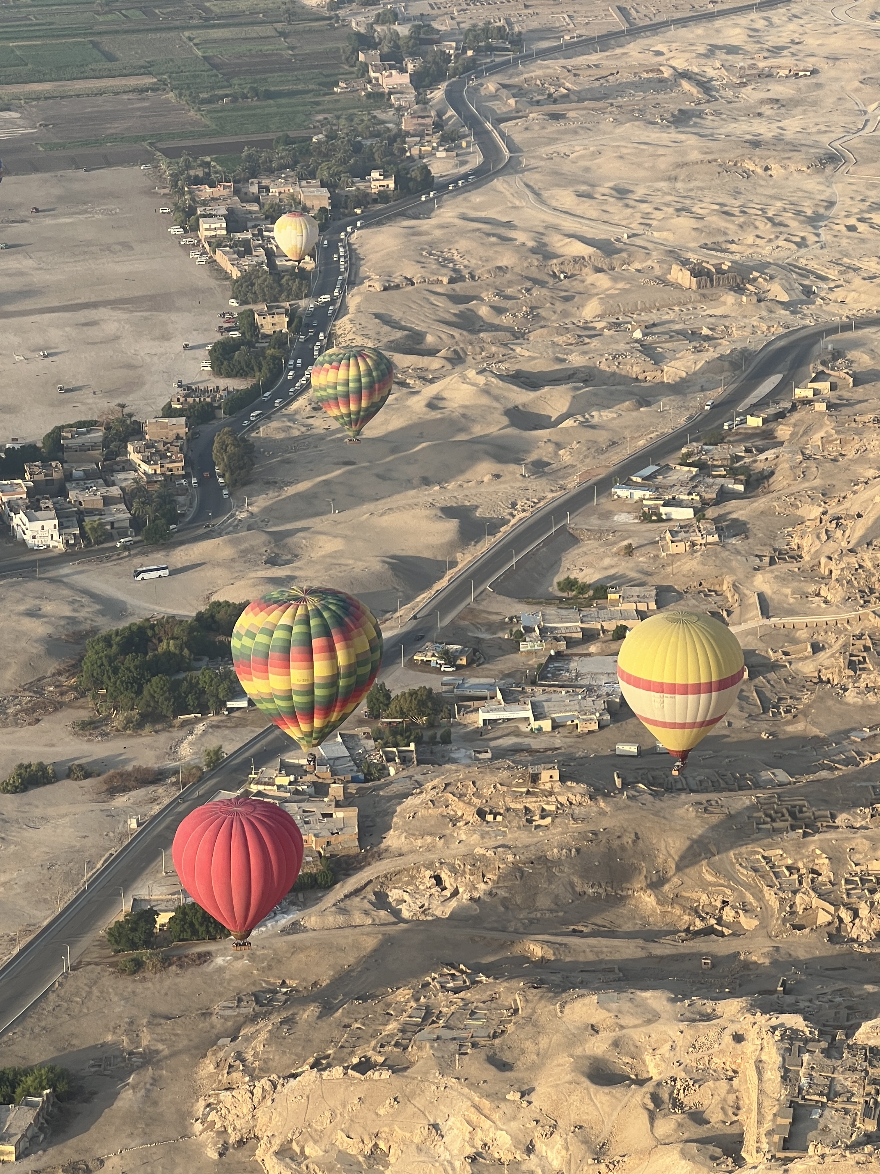
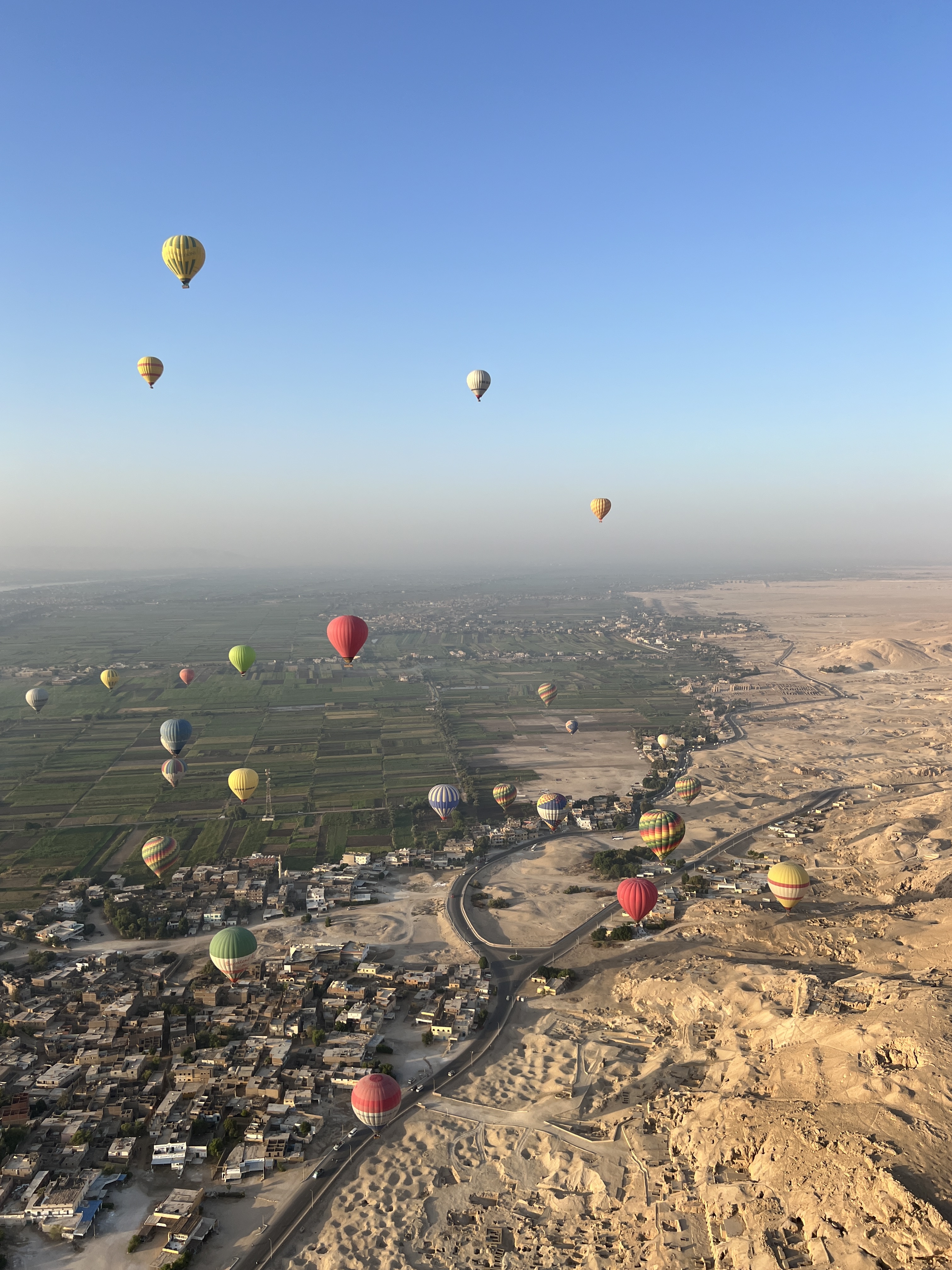
The flight was supposed to go for 30-40 minutes, depending upon landing options. However, our pilot had some difficulties in getting the right winds and we drifter away towards the Nile and over fairly dense agricultural pursuits, power lines and roads. So we were aloft for over an hour.
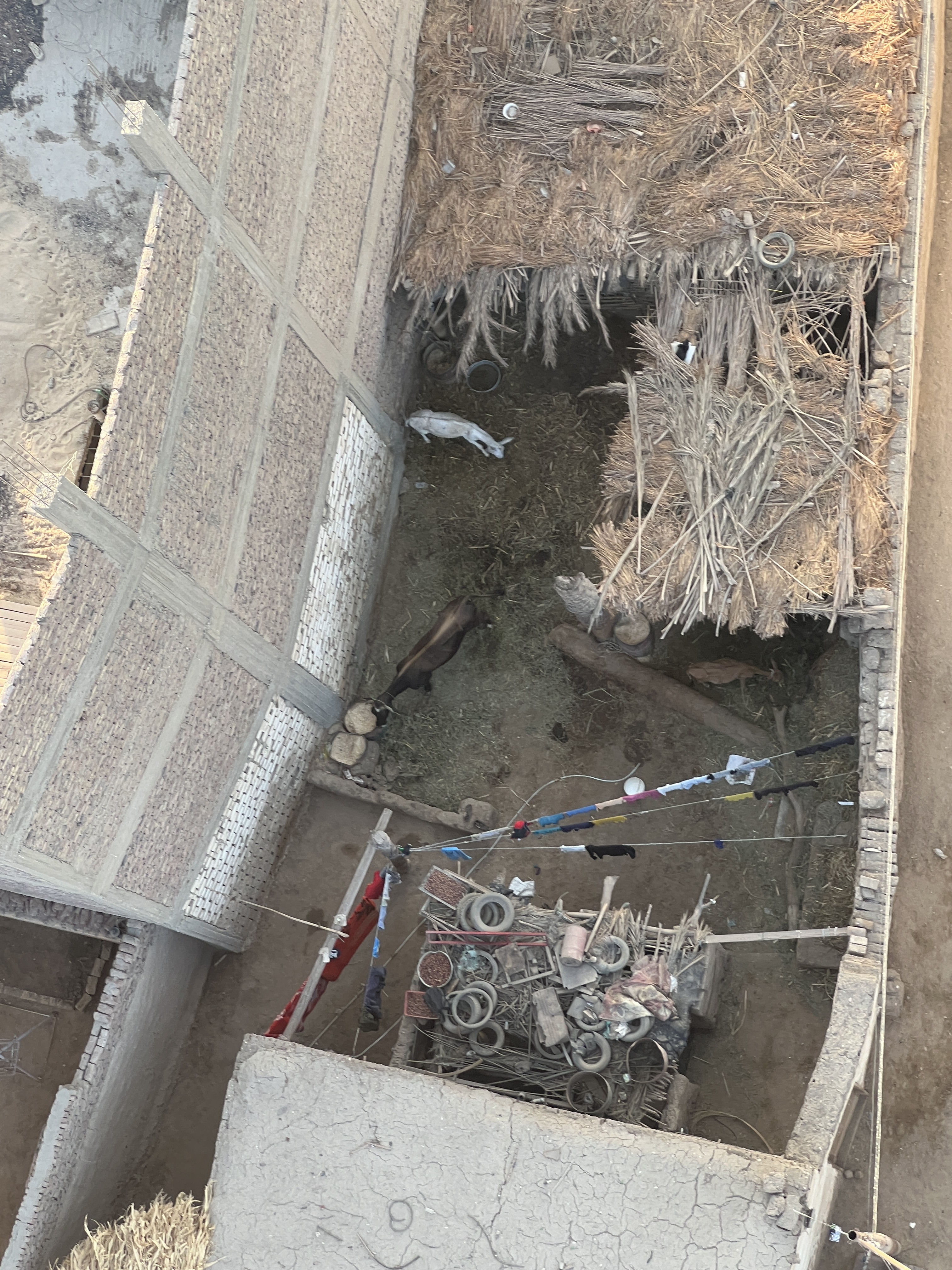
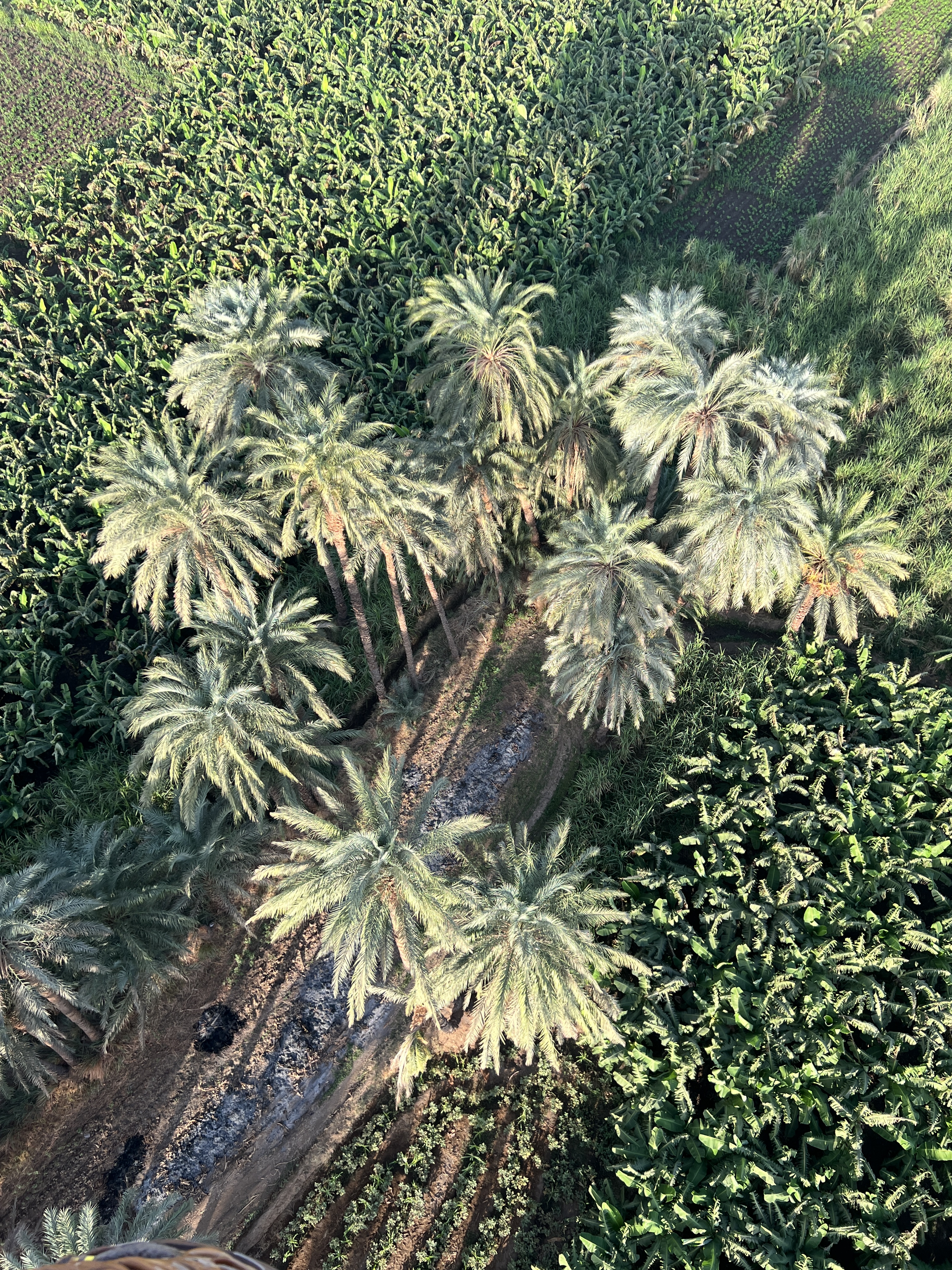
Eventually, he tossed a long rope over the side for the team below to drag us to a clear spot. Bit of exercise and excitement this for the guys on the rope! Anyway, we got down OK, very soft landing.
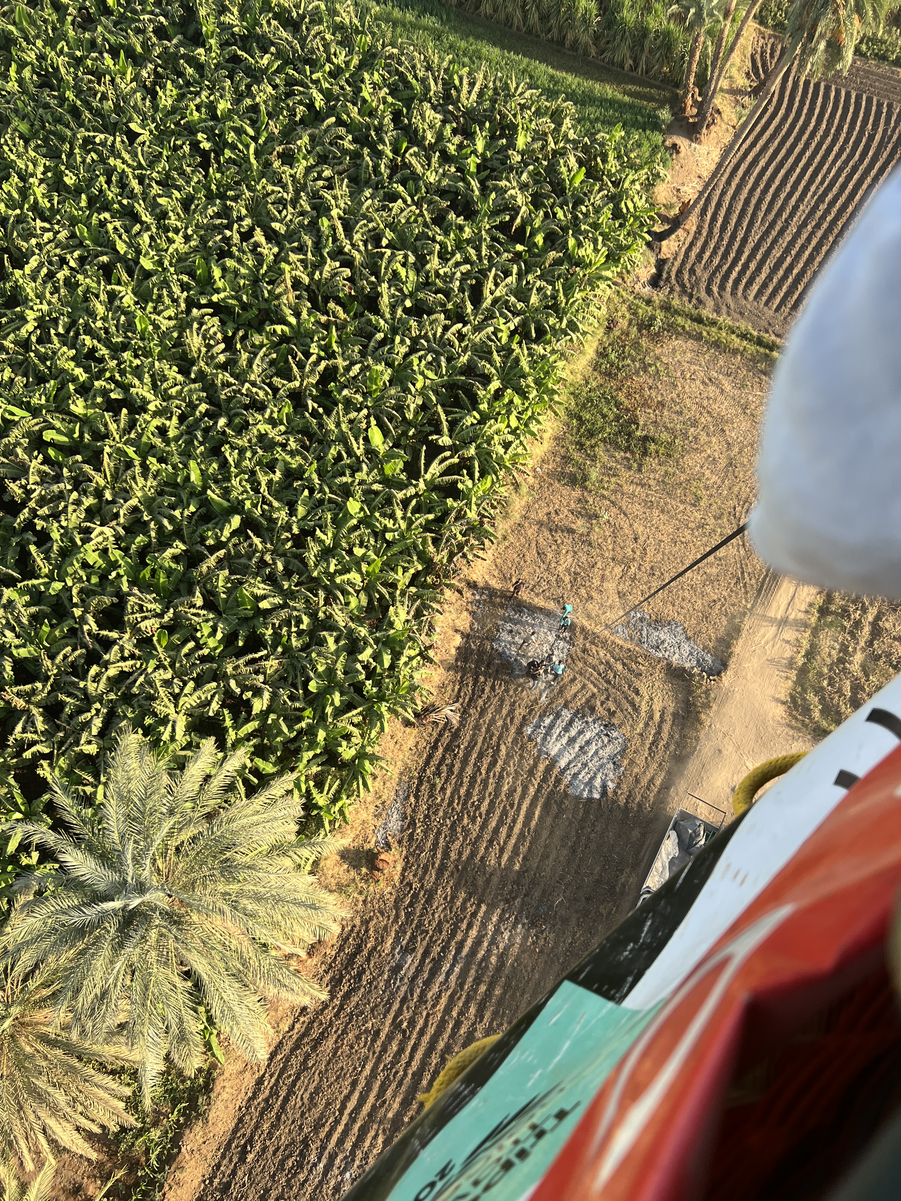

Got back to the hotel around 8.30 and after breakfast started the trek to the Luxor Temple for a look see before it got too hot. This is enough for the time being!
Masai Mara
After surviving the border crossing and the change of vehicle and guide we headed off down the highway for the Masai Mara Conservation Park. Quite a drive through numerous villages before turning off onto a rather stoney, corrugated, water eroded bumpy road. It went for kilometres and I believe I will never moan about the condition of an Aussie road again! We don’t appreciate how good we have most things. Villages doted the road and life appeared pretty basic for these people with generally smiling happy faces.
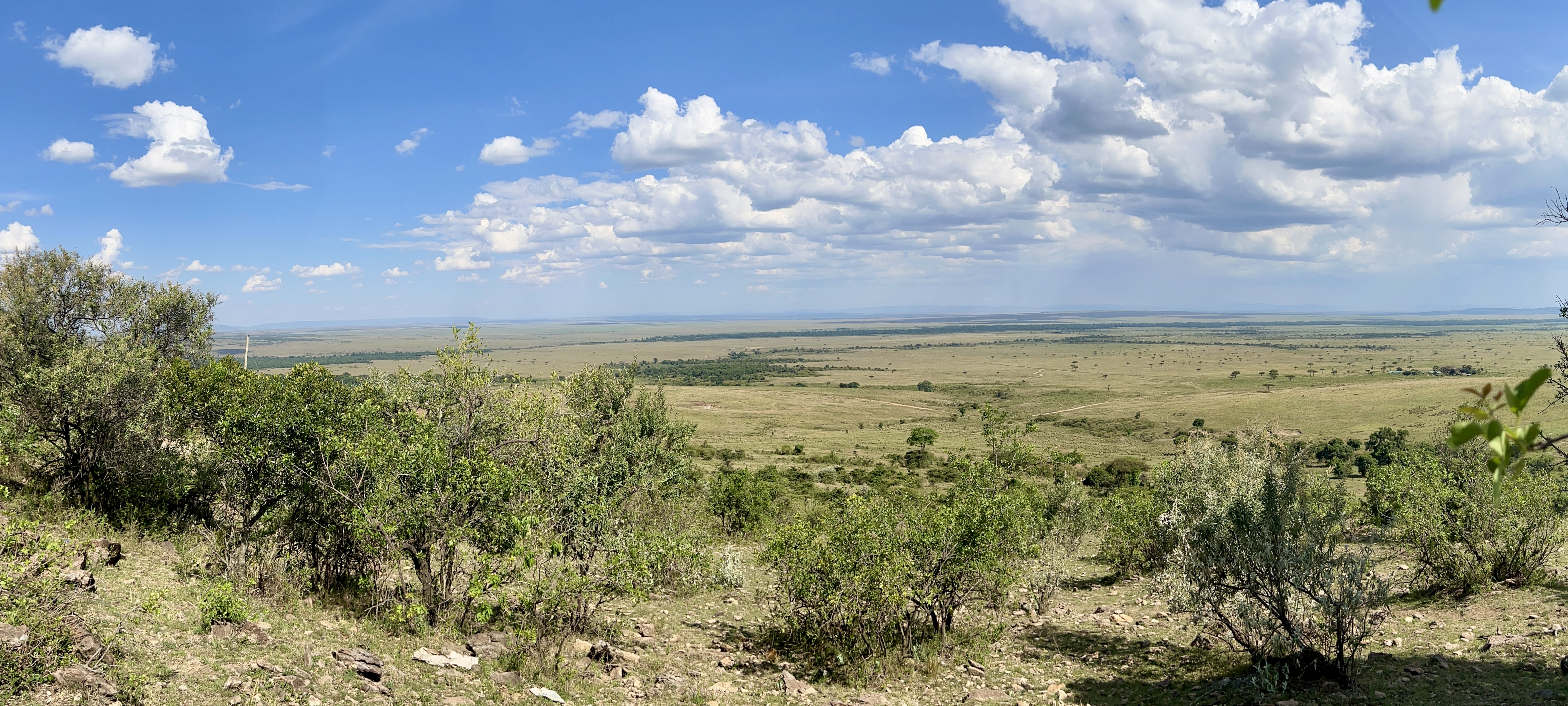
We stayed for two nights just outside the park as there is no accommodation within the park. A bit of a straw poll amongst our group revealed a couple of things some of us would like to see during our last two game drives. A pride of lions with cubs and a ‘kill’, blood thirsty lot! Would the Masai Mara deliver?
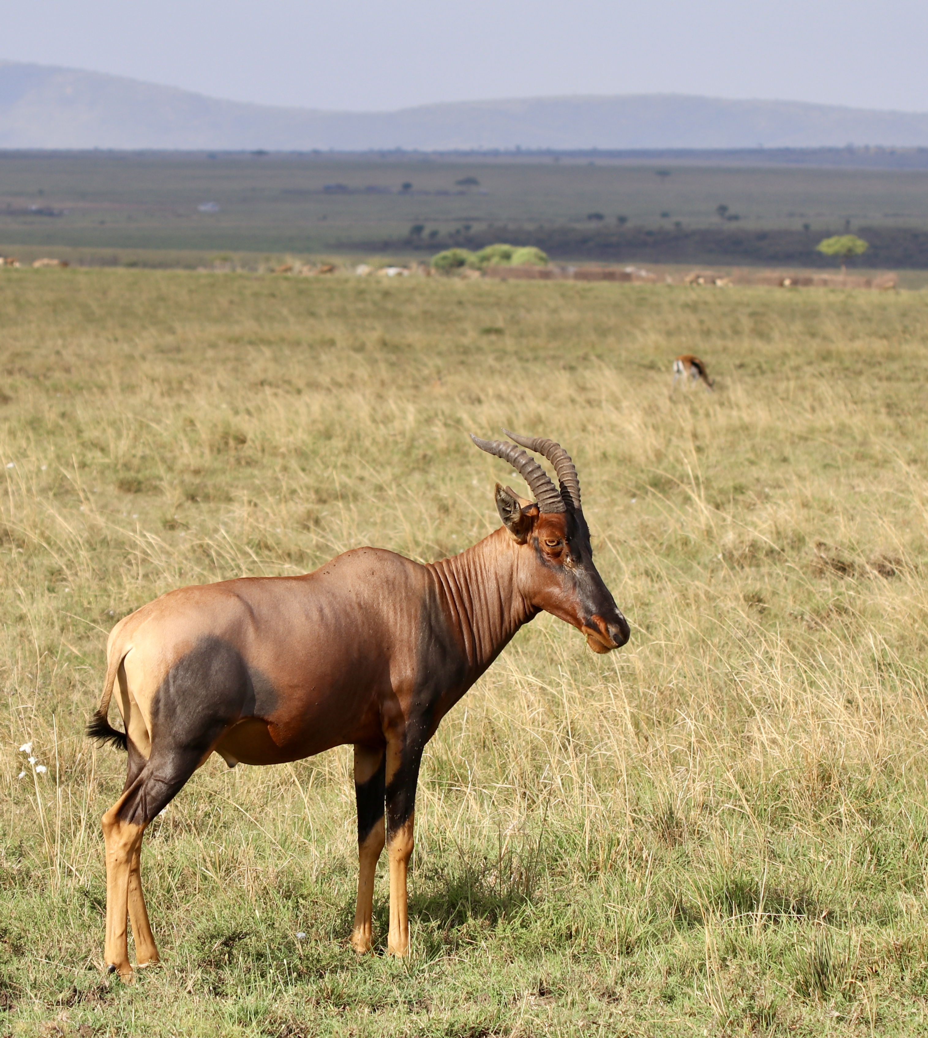
One of our first sightings was a close up of a Topi, it has a marking on its rear thigh that resembles a map of Africa.
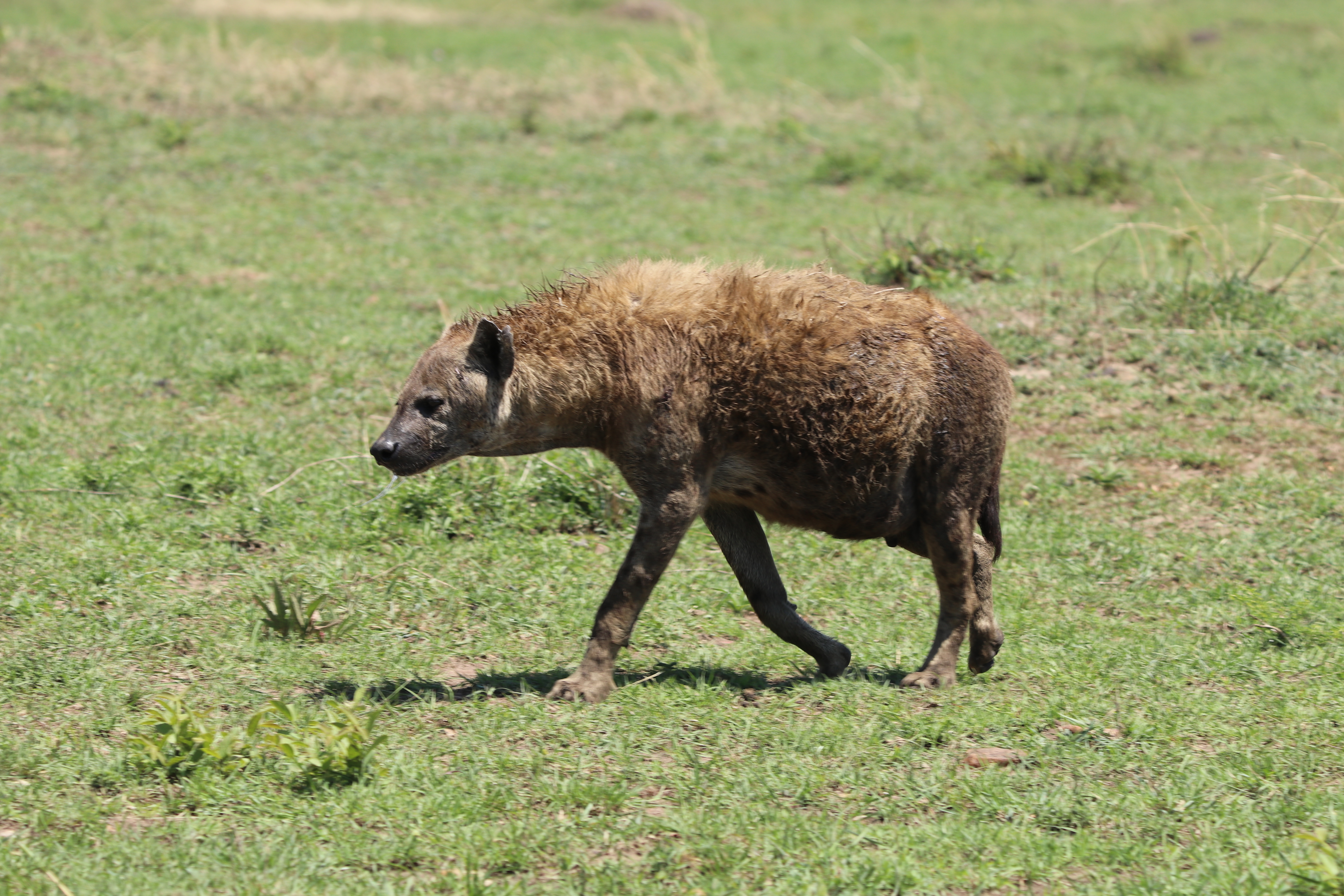
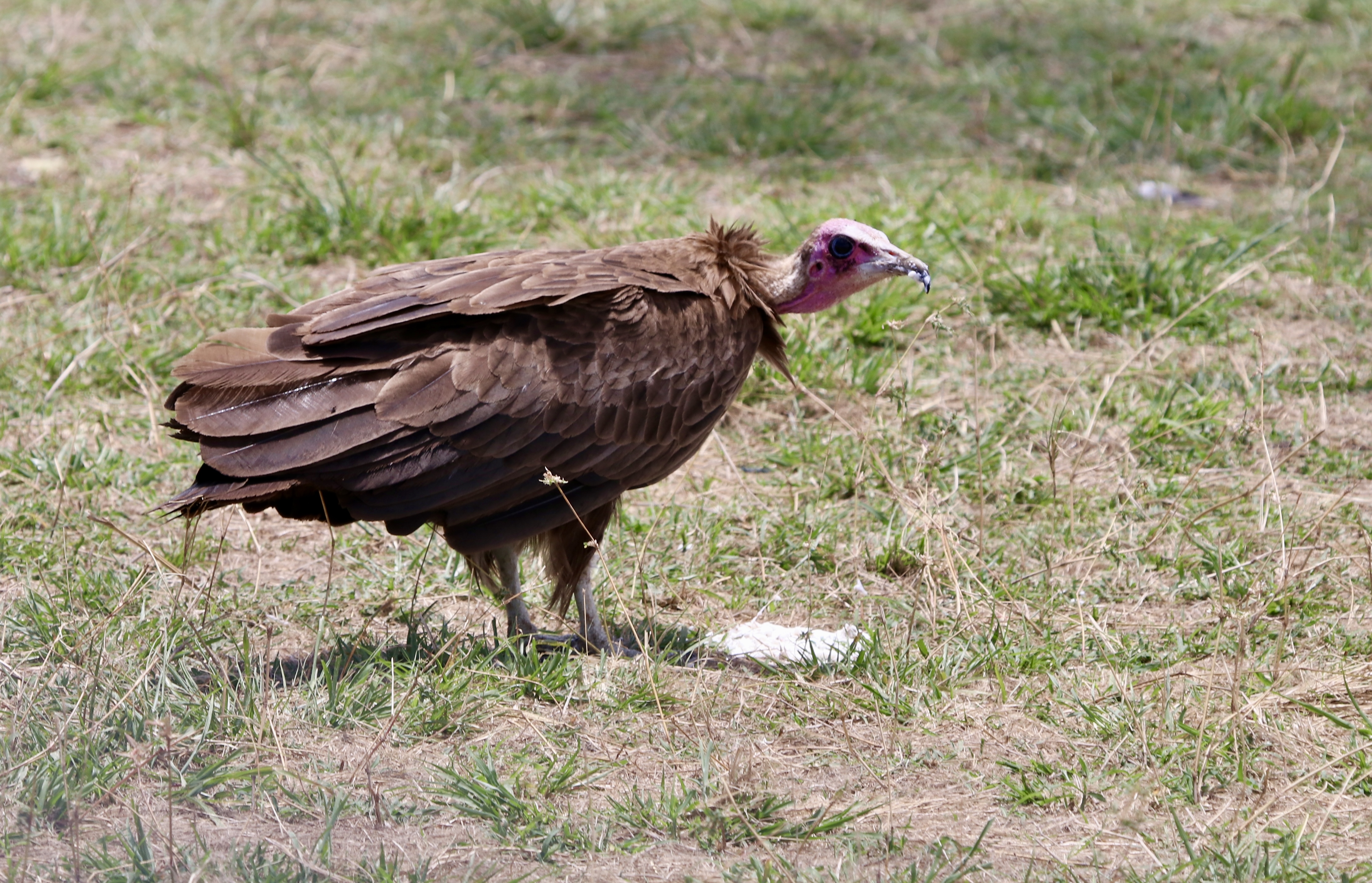
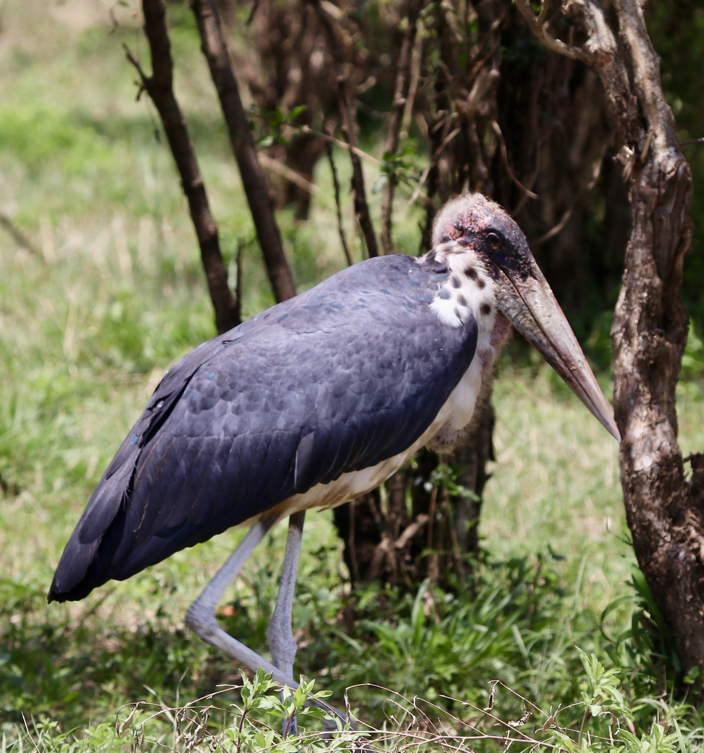
Later there were good sightings of members of the ‘Ugly 5’; a pregnant hyena, a young vulture and a marabou stork (an unpleasant looking face!). The other two are the warthog and the wildebeest.
The first lion thing on our list soon delivered. A pride of lions with cubs just lay around asking to be photographed! Tick!
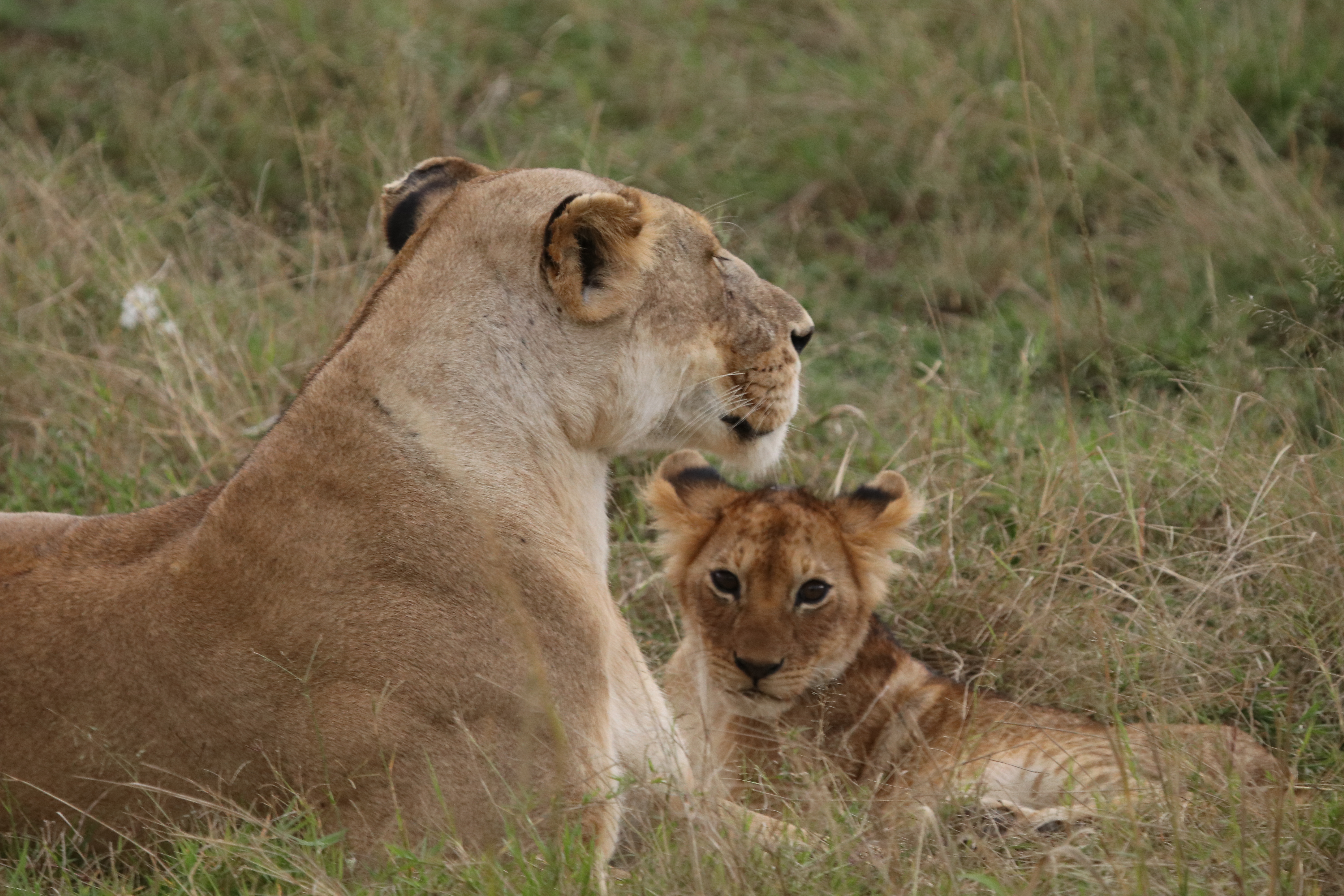
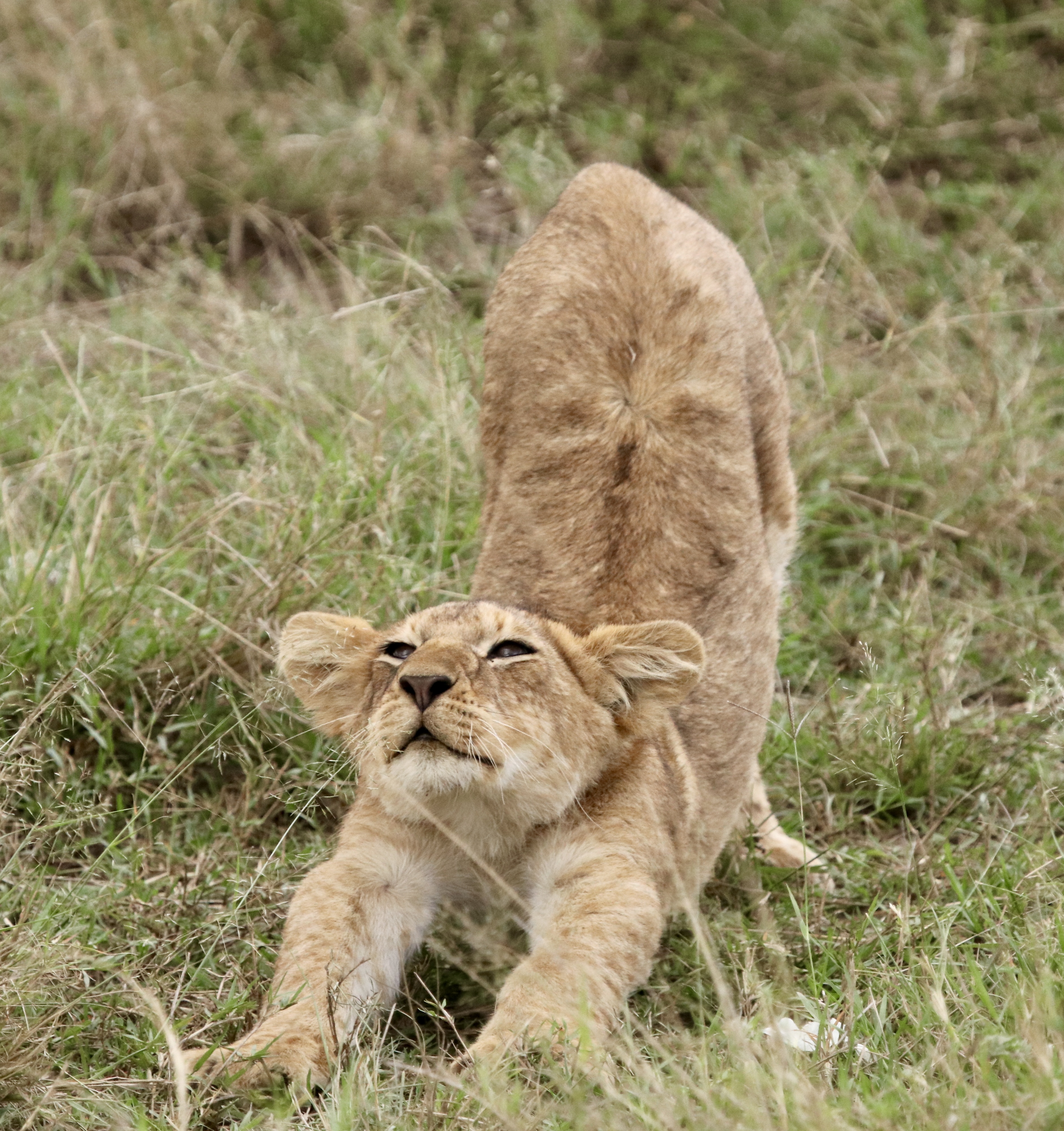
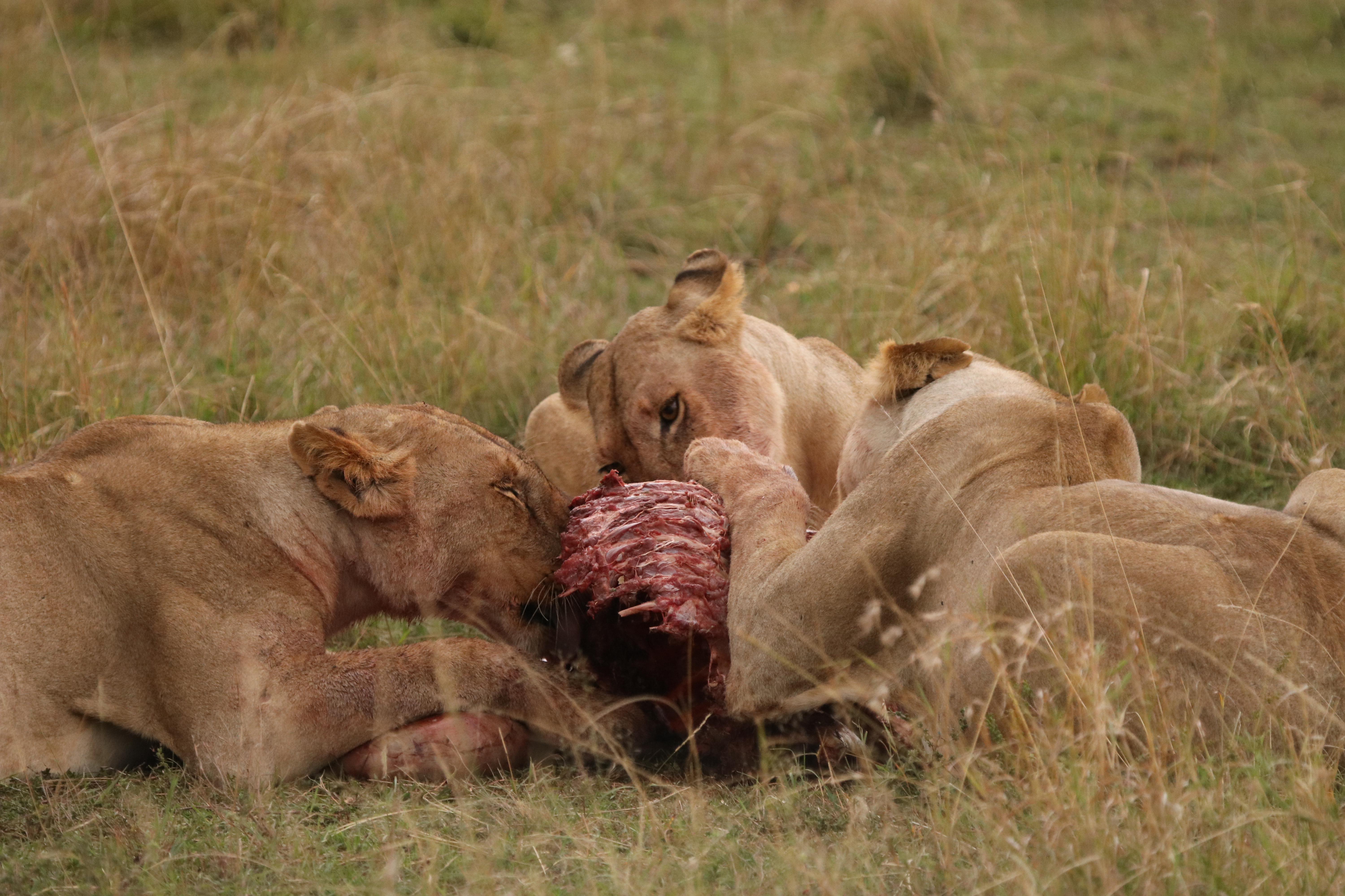
Lions continued to make appearances in good numbers. There were three lioness camped on a small rise cleaning up the remains of a kill. We did not see the actual kill.

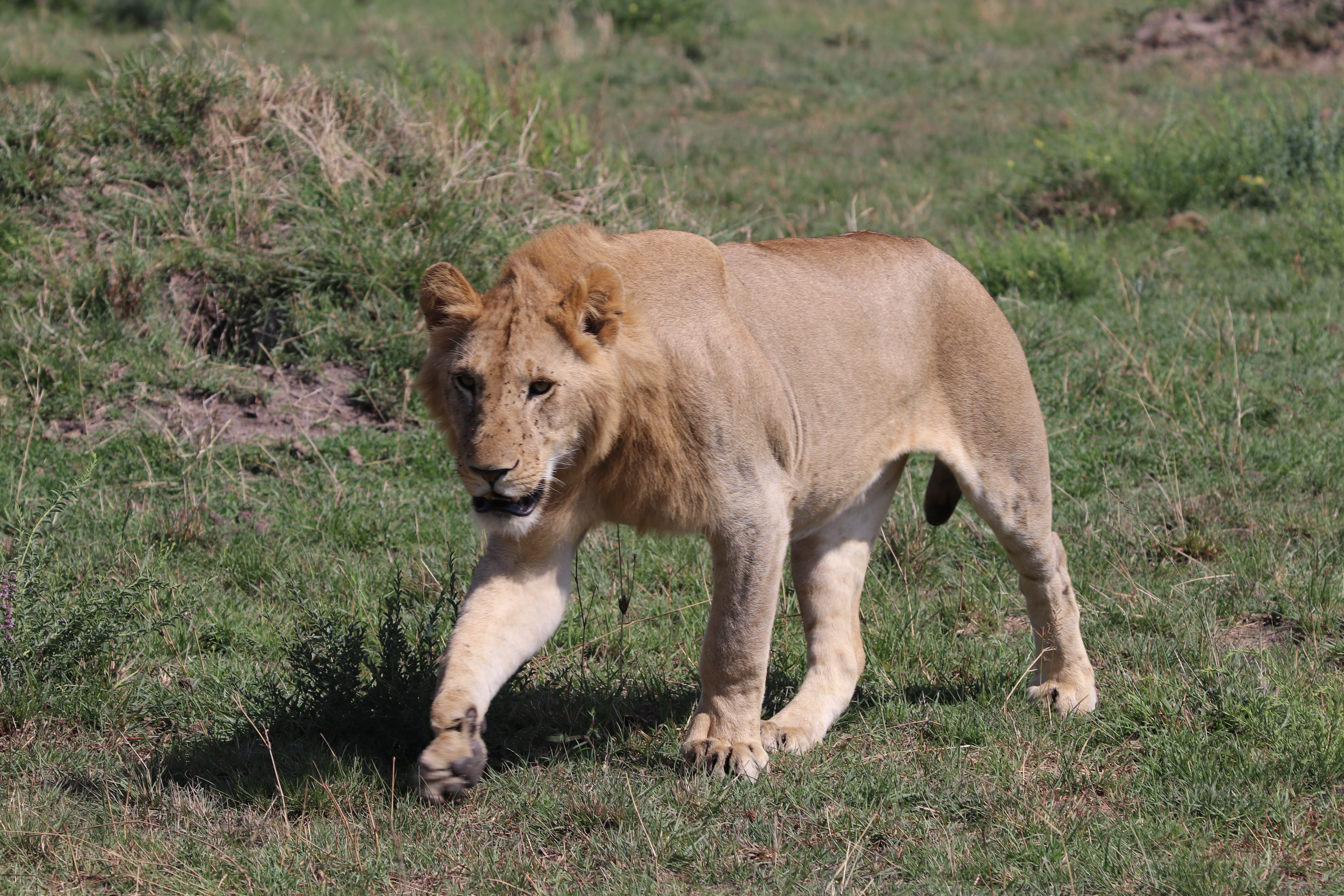
Another occasion saw a procession of lions, male, female, young and old make their way down a hillside to a creek. I think there were about eleven all up. Numerous trucks pulled up to witness the parade. The lions wandered around close to our vehicles, sitting down in the shade up against wheel hubs. Quite a sight!
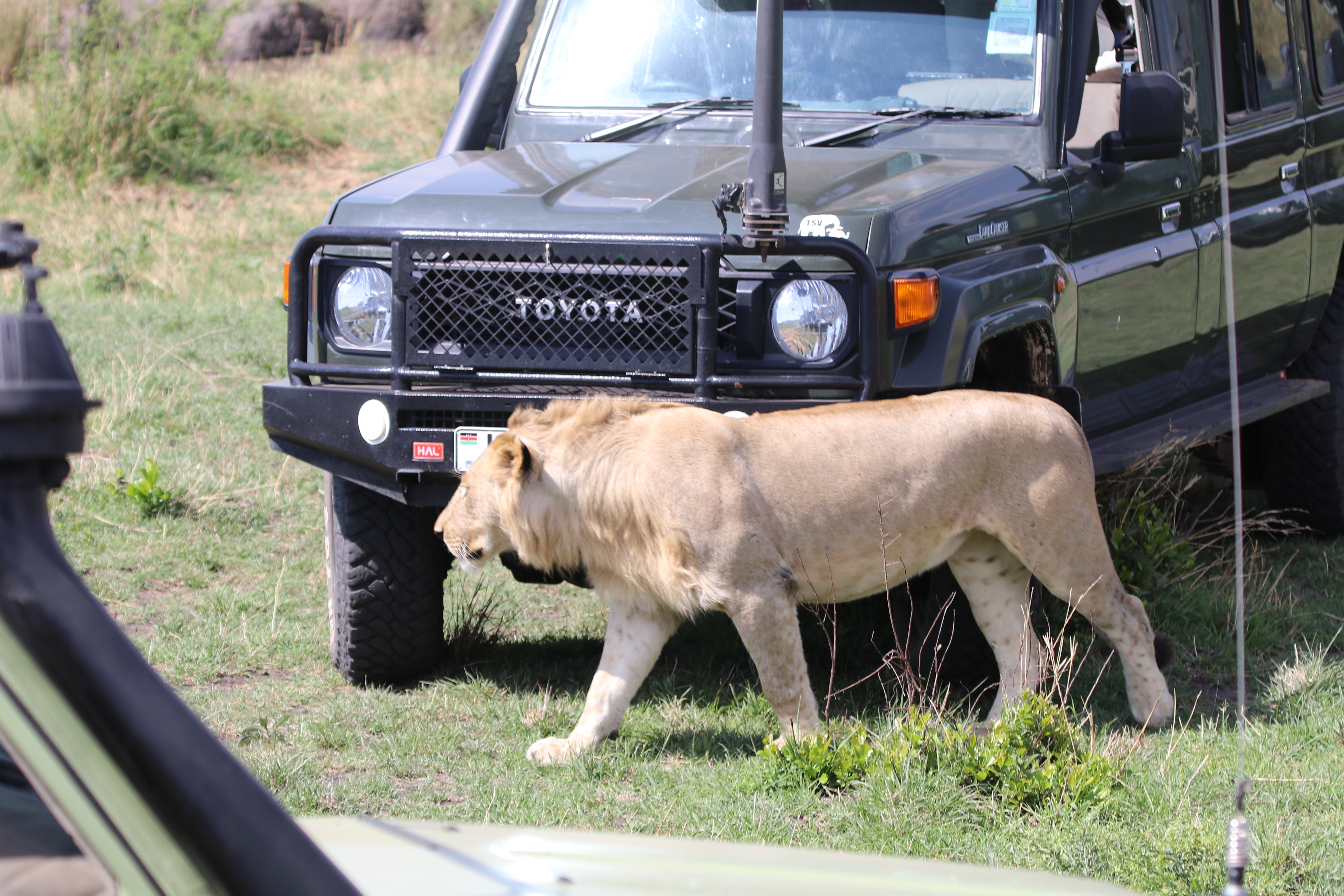
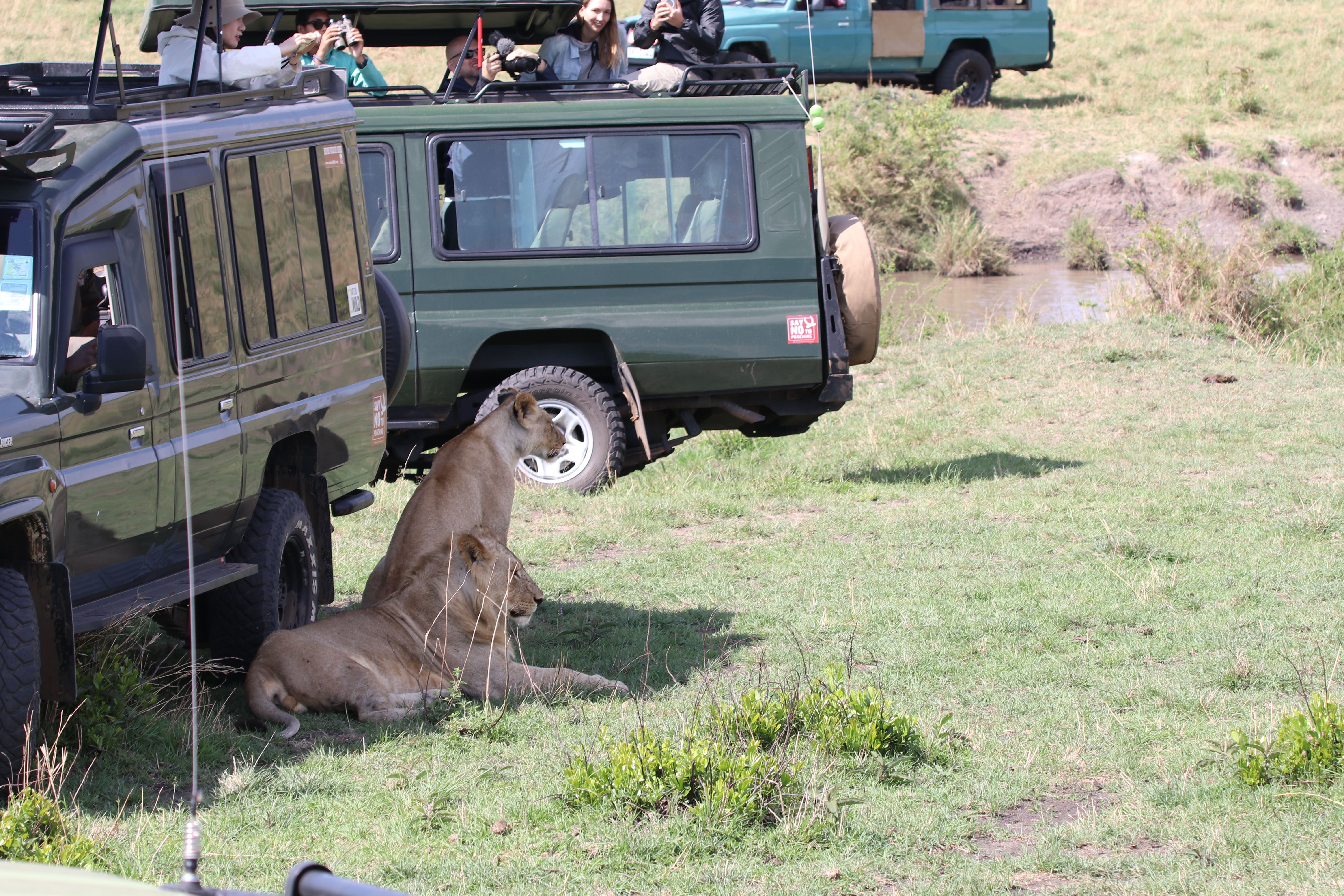
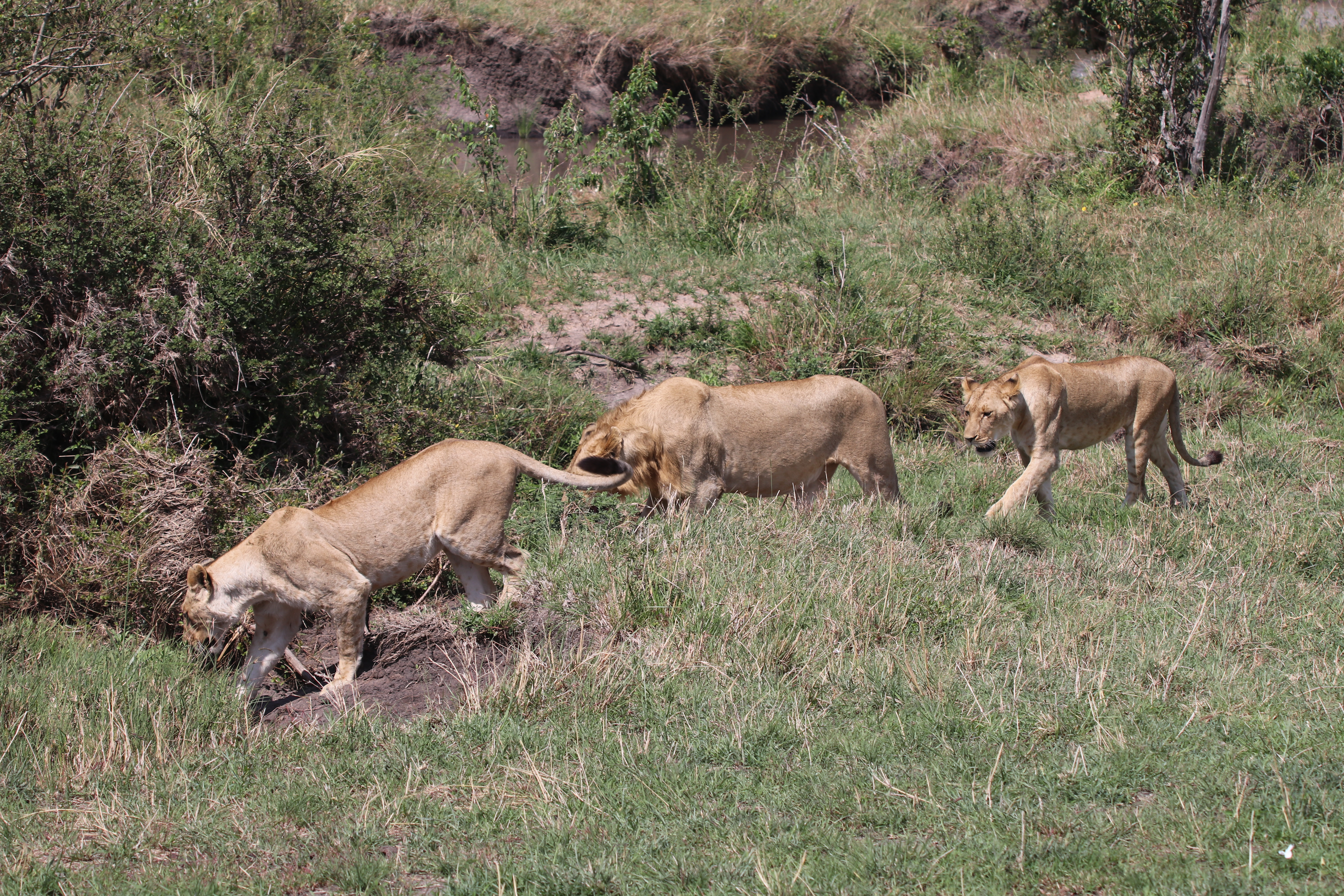
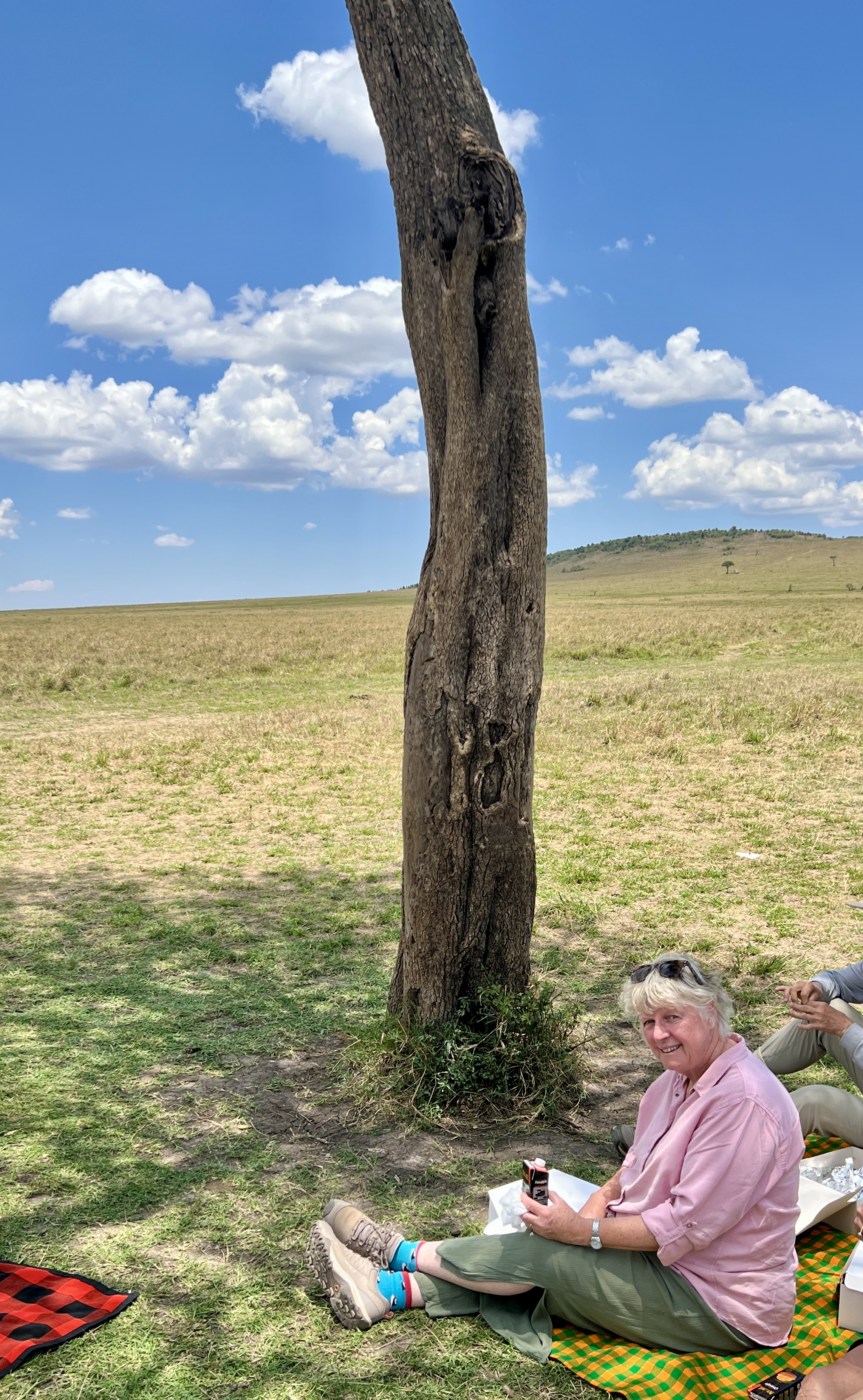
After spending time fascinated by this procession it was time for lunch. The guides found a great spot under one of the few trees for us to enjoy a picnic box. Keeping an eye out of course for any visitors!
Towards the end of our last game drive, the second item on our wish list was fulfilled. Out of nowhere two lioness chased down a small warthog, a ‘snack’ according to our guide. They disputed ‘ownership’ of the kill. One holding on near the head and the other the butt. Quite a struggle ensued, the warthog squealing and the lions grunting. Turn up the sound for this video!
A little off putting and disconcerting for the small animal lovers among us. Nature at work though.
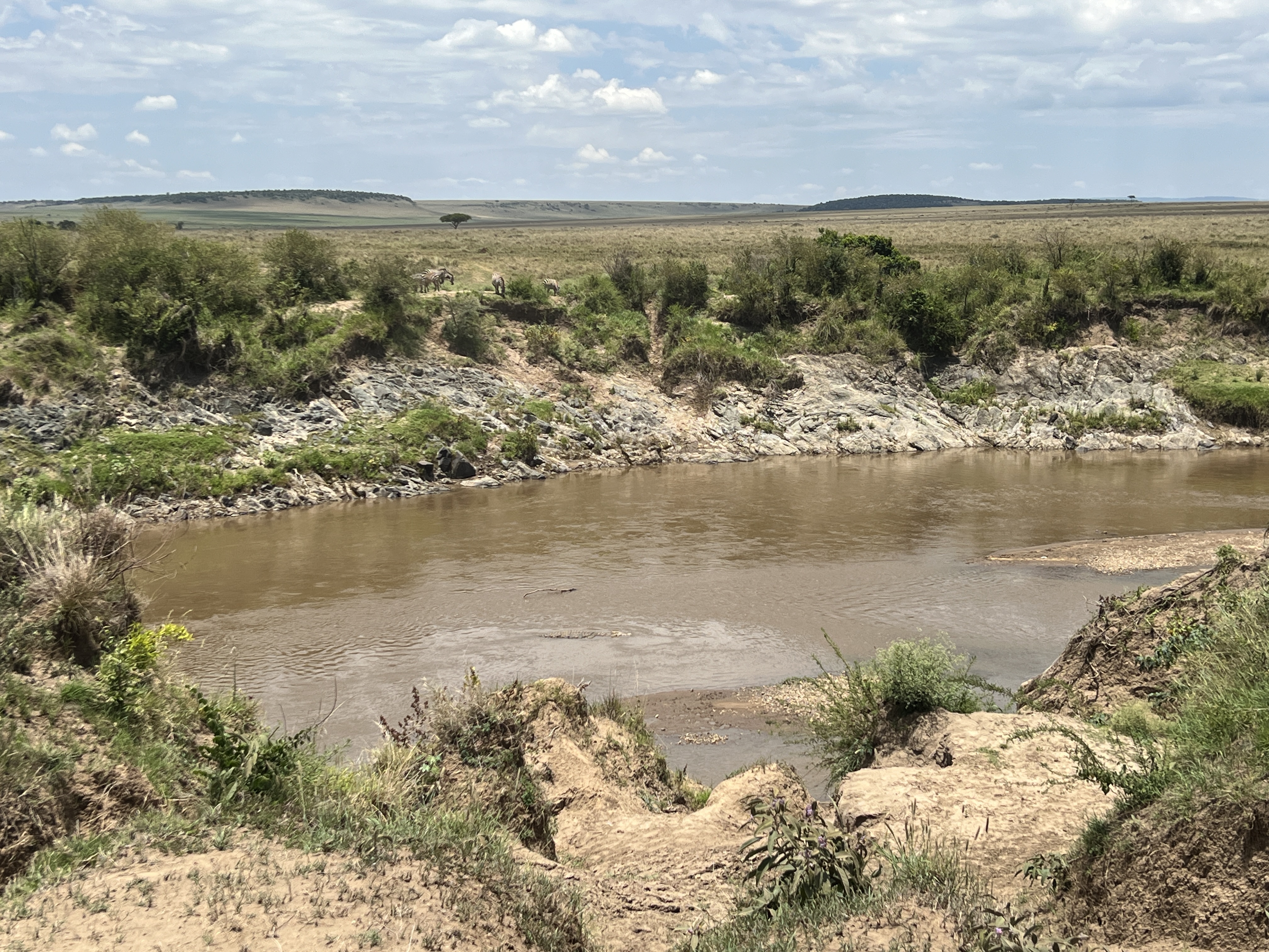
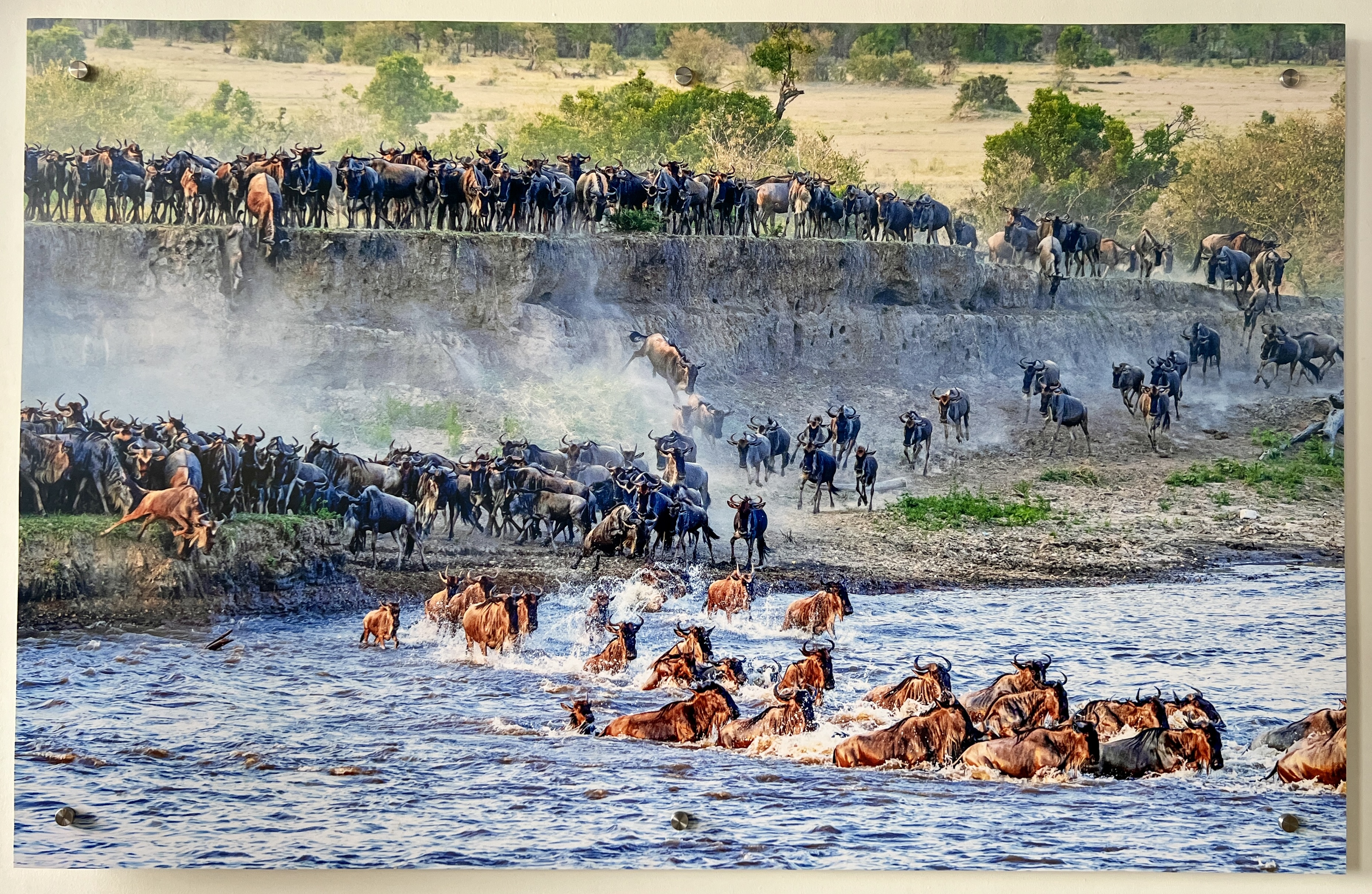
It has been a very rewarding time seeing the big and small animals and birds of the East African plains. We haven’t missed much. We were a little late in the season for seeing the zebra and wildebeest cross the Mara River and battle the crocodiles. We saw one of the spots though and there was a vivid picture of the event in one of our lodges.
This was to be the end of the safari ‘action’ for us as we headed back to the lodge for our last night in this part of Kenya. In the morning we returned to Nairobi, a long days drive, for two nights and a day of rest before leaving for Egypt and the Nile.
Lake Victoria
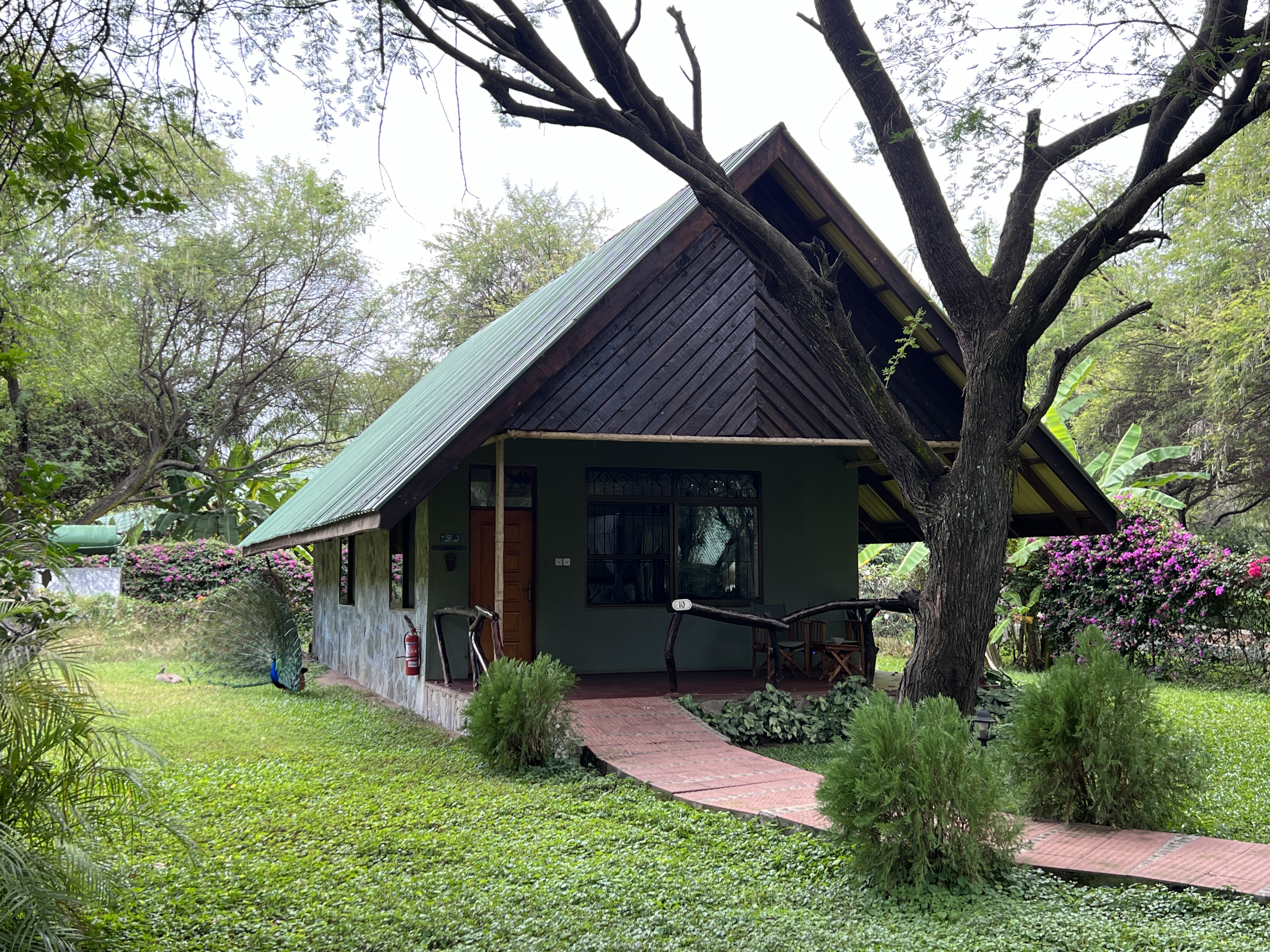
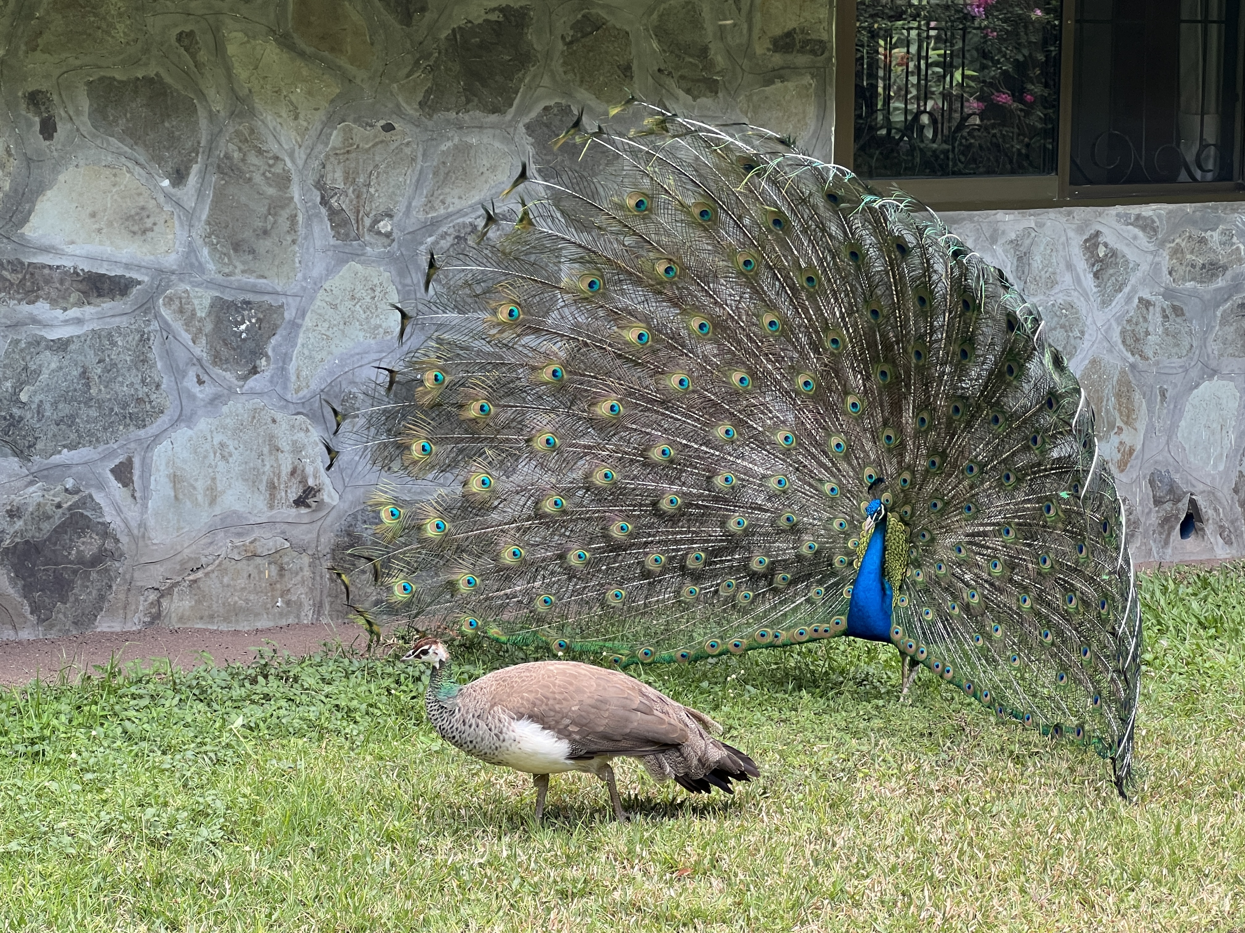
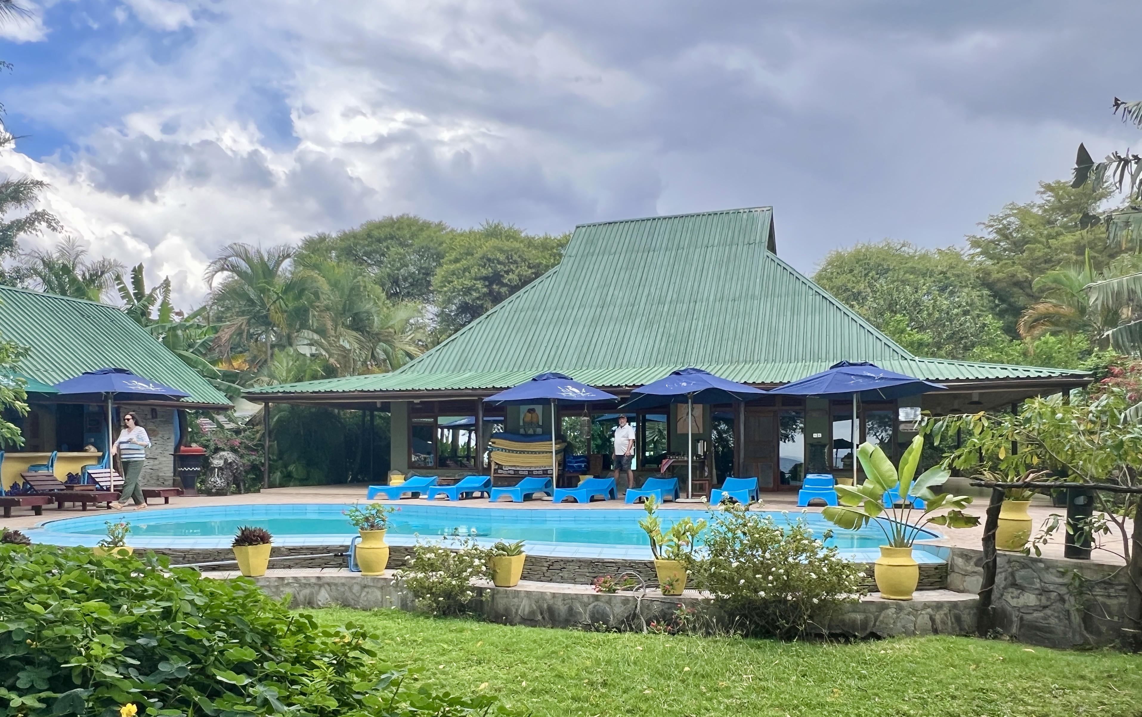
We settled into the spacious cabins at ‘Serenity by the Lake’. The gardens surrounding the cabins were shady, nicely kept and occupied by a number of peacocks going about their business.
Had a swim in the pool before going off on a tour to a nearby fishing village. Another immersive experience.
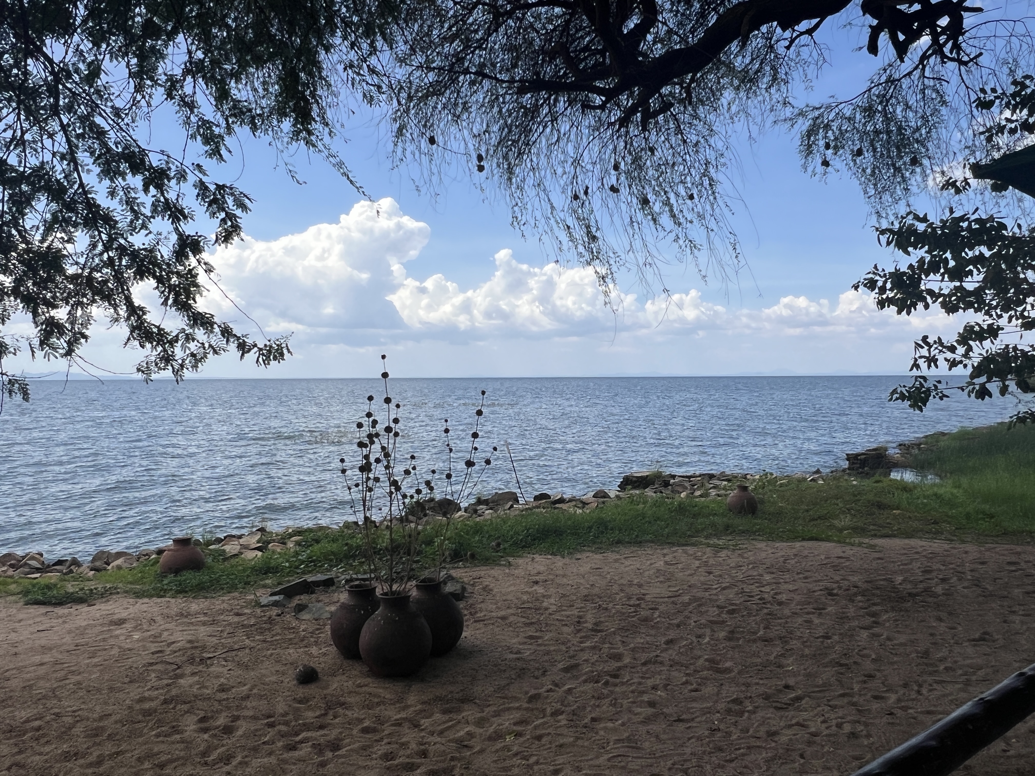
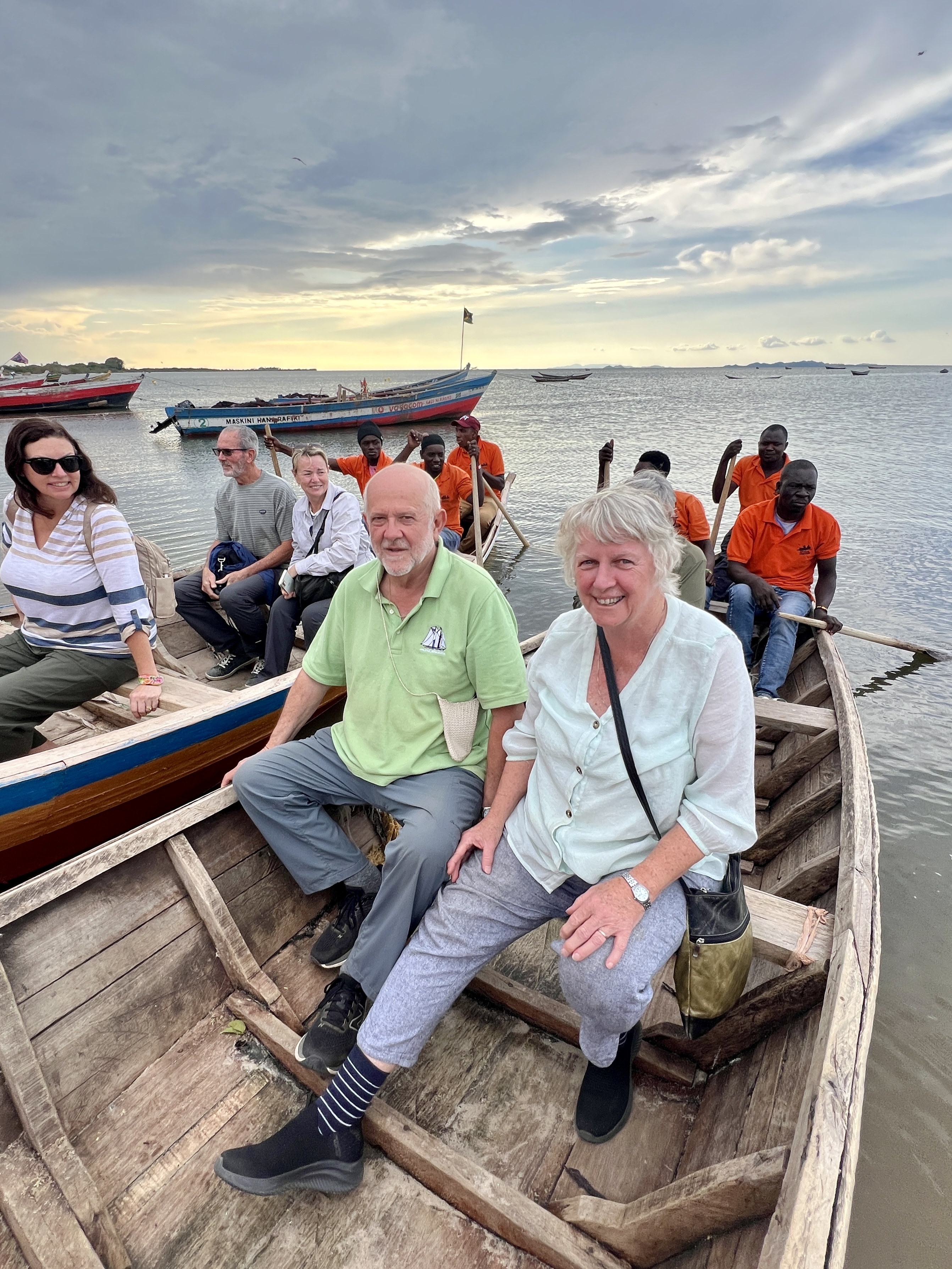
Our group of nine was split into threes for a paddle out into the lake, although we were actually in a bay (12 kms across) off the main body of water. We were paddled around for a while seeing a few water birds and traditional fish traps in operation.
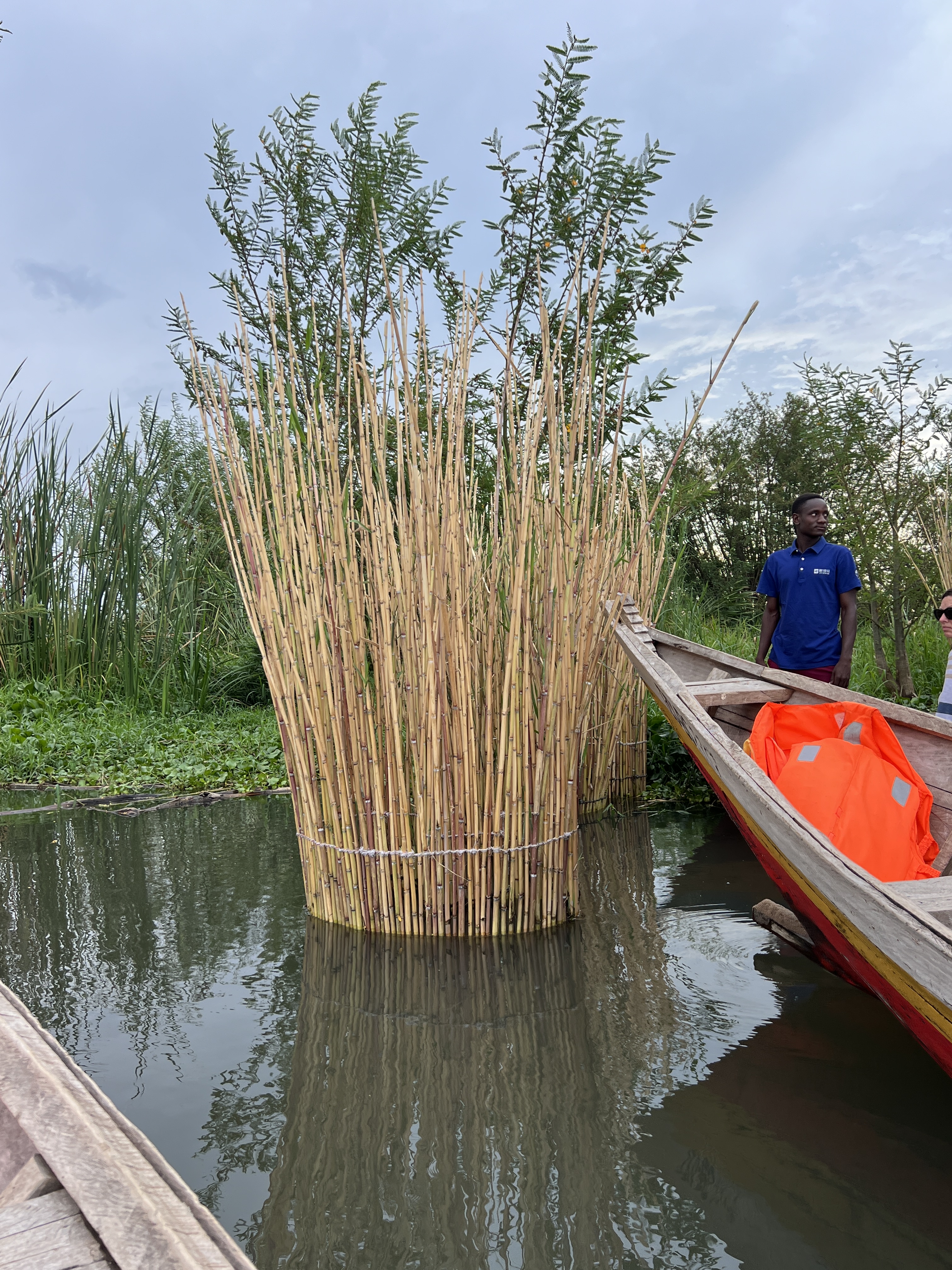
Fish traps, reeds that are growing. Fish enter through holes at bottom of trap and can’t exit!
There was a vigorous race back to shore by the boat crews, accompanied by some native singing/chanting.

Lake Victoria is the second largest lake, after Lake Superior, by area in the world. Prior to boating we had a potted history of the lake. The lake has borders of three countries running through it and is suffering from over fishing due to growing populations.
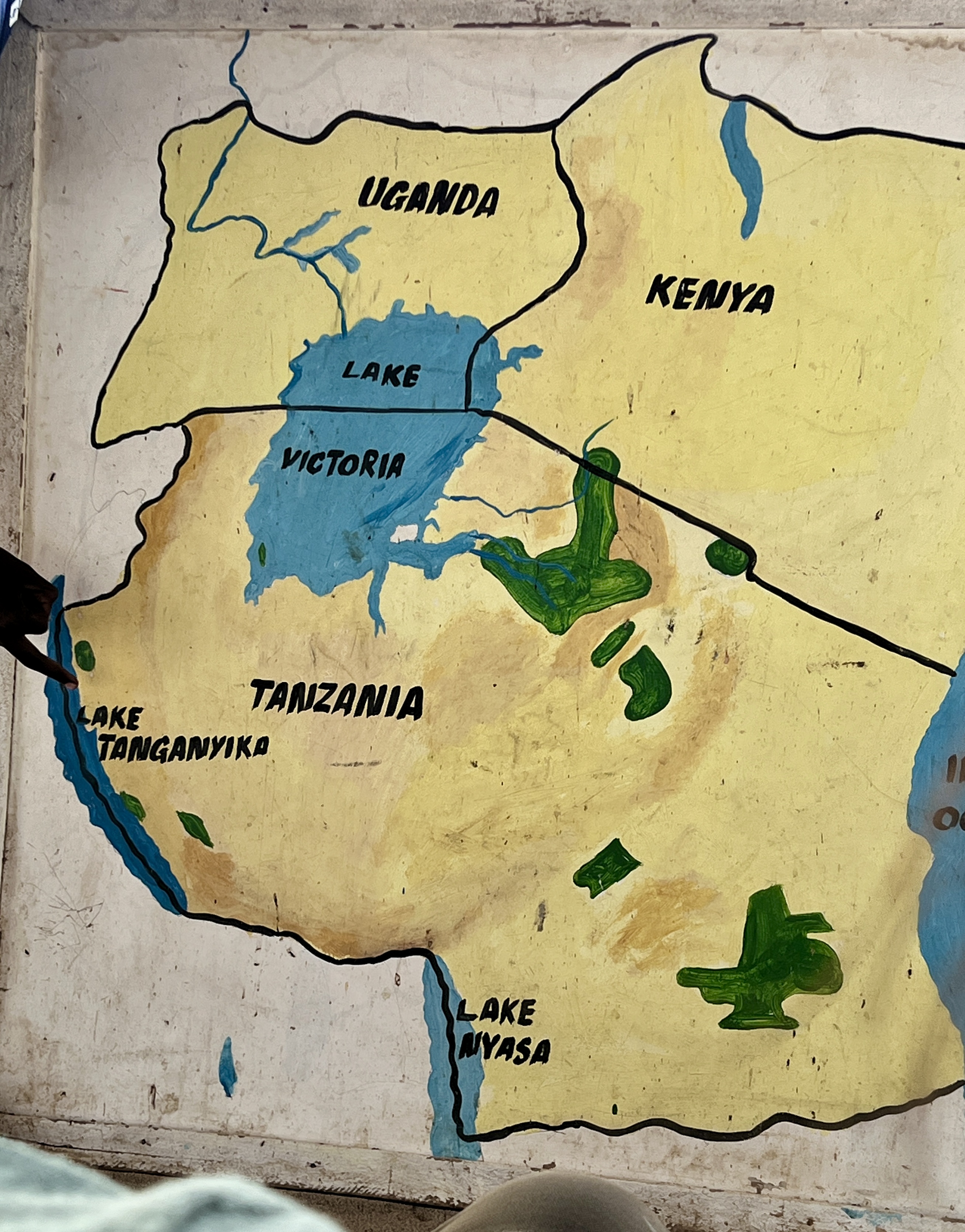
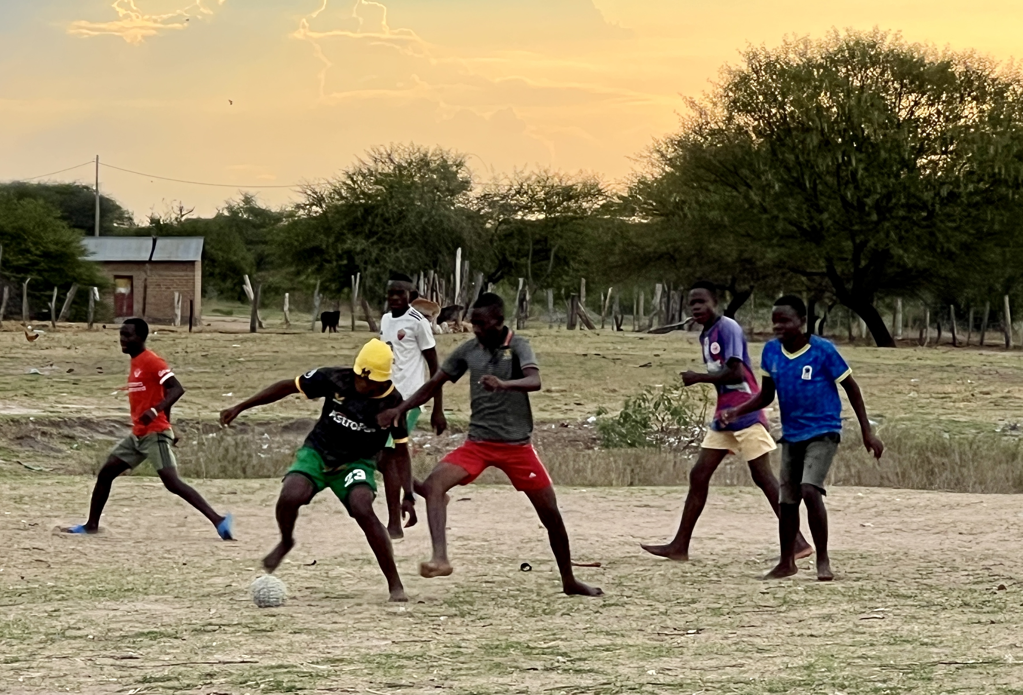
After the boat trip we wandered back to the bus through the main street of the village. Soccer was being played on some rough ground, the ball made from tightly rolled up cloth.

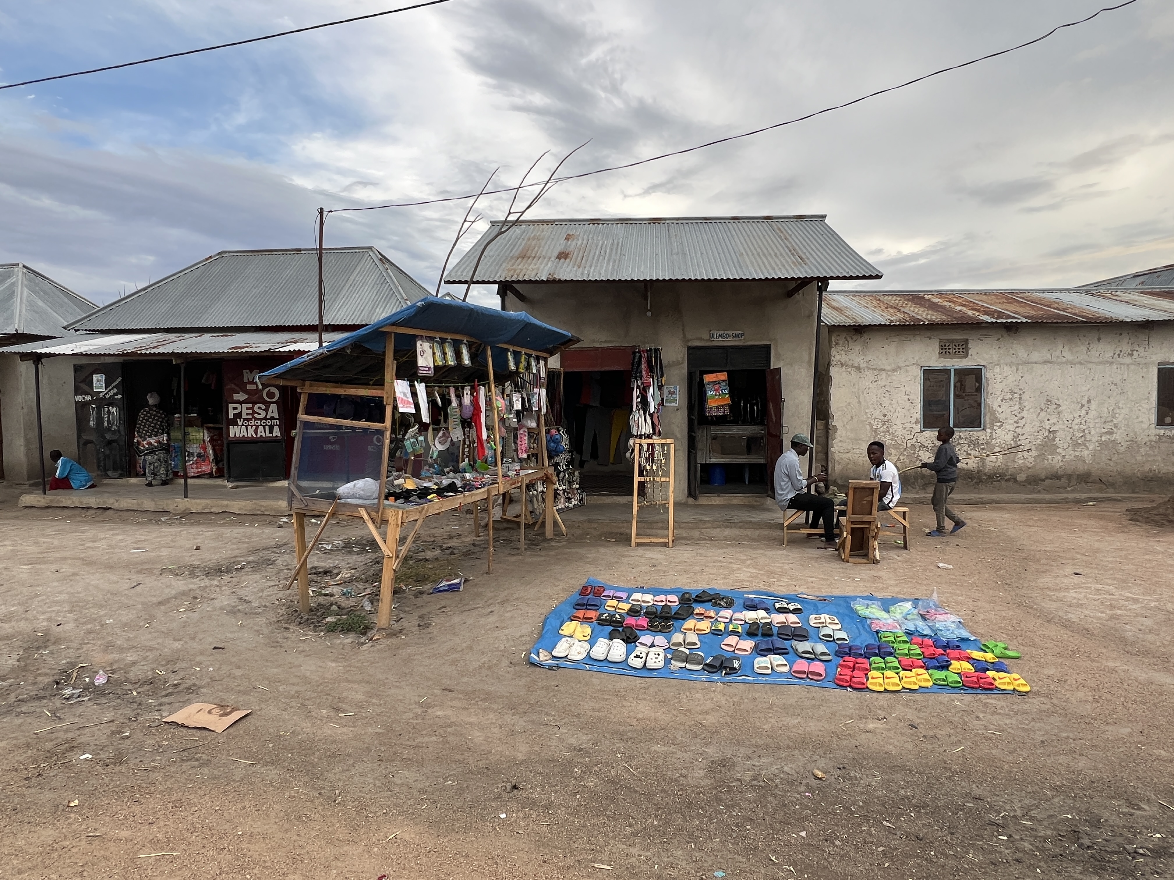
The experience was a little confronting, the village more needy than others we have experienced in travelling around. At the end we walked through the village school, there are about 500 students. It was six o’clock and school had finished for the day. But a tutoring class was still going and we were welcomed in for a look.
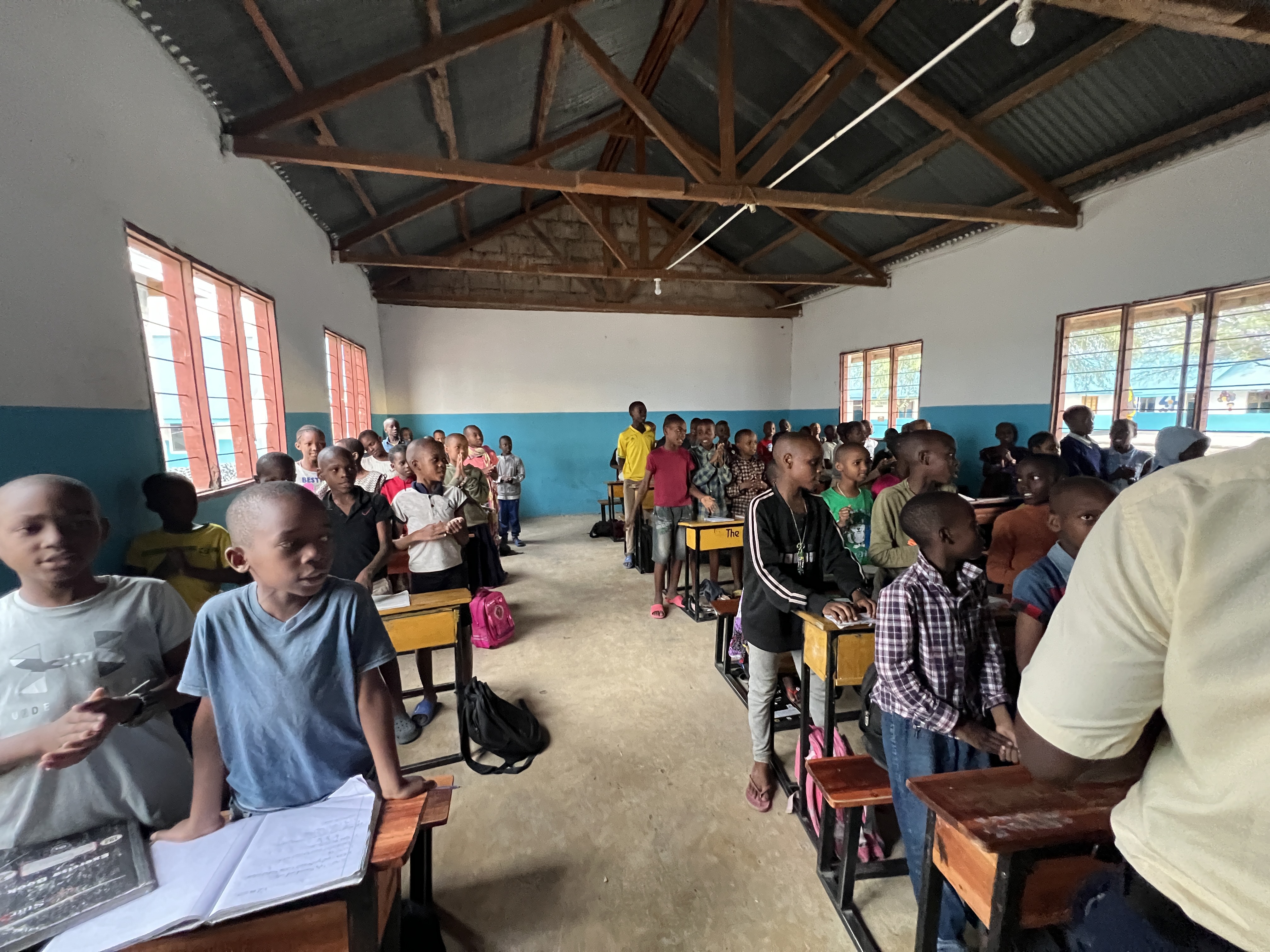
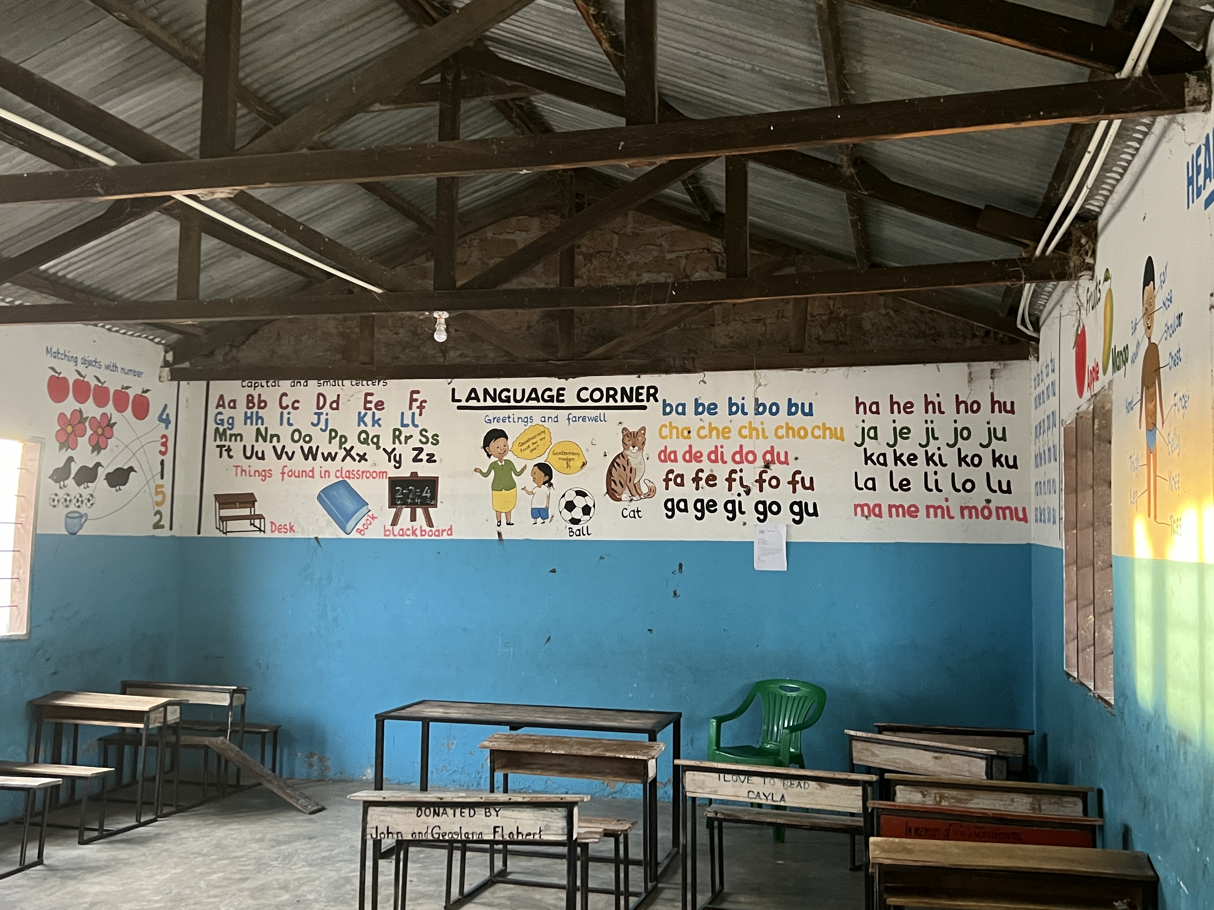
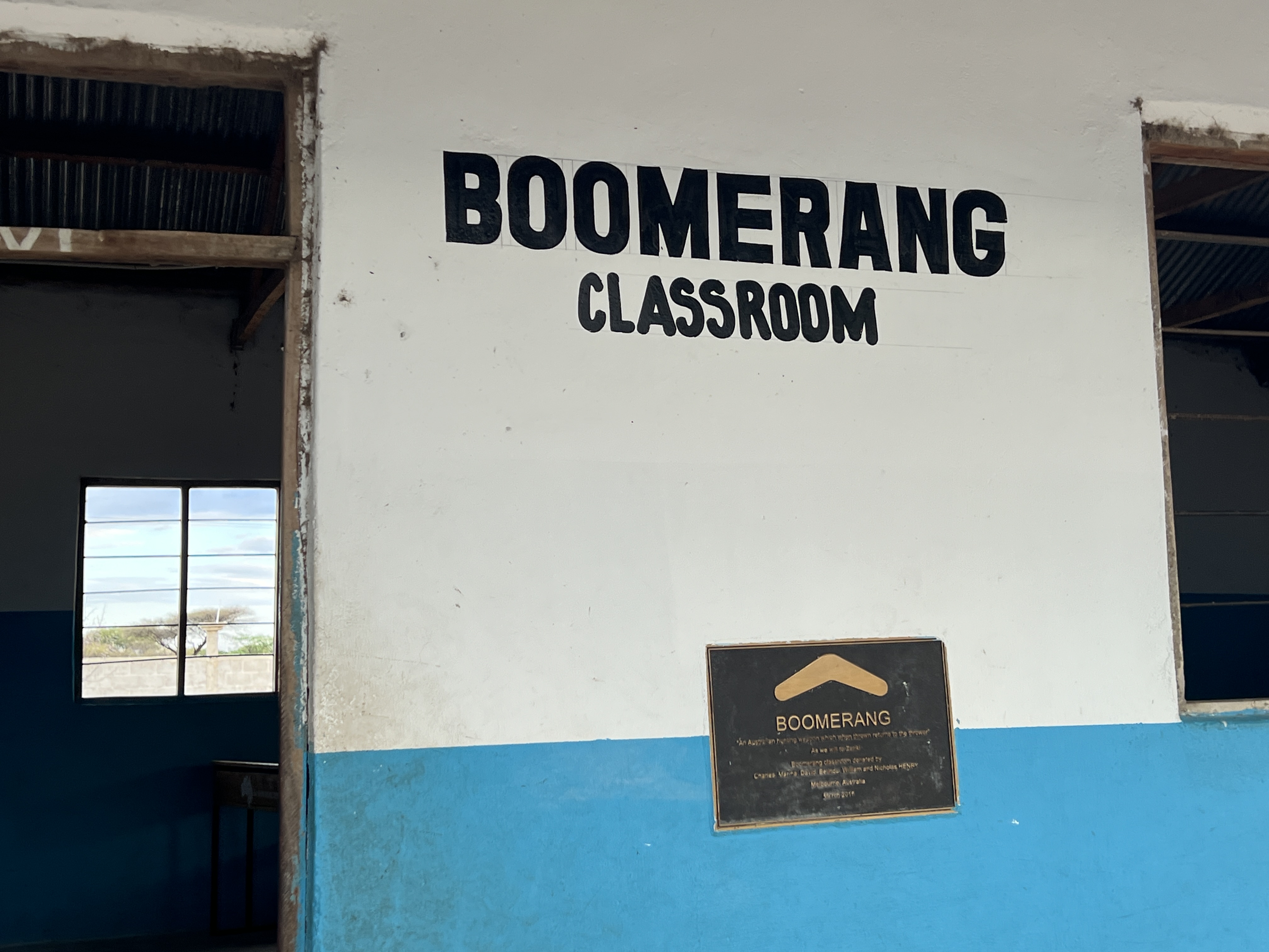
Bit of an eye opener, about 60 grade 4 (9-10yo) students crammed in one room. Black board and chalk and not much else. One teacher. The kids gave us a big cheer and welcomed us with a song. At the end they sang their national anthem, a very proud group of Tanzanians indeed! Not sure how many Aussie kids (adults as well?) know the words of ours let alone sing it in such a rousing way! Two school rooms seem to have been sponsored by Australian groups, ‘Boomerang’ and ‘Kookaburra’.
A short but interesting stop. In the morning we left for the Kenyan border, about a three hour drive. There we changed vehicles, passed immigration, and had new Kenyan guides to take us on to the Masai Mara.
The Serengeti
By mid afternoon we had completed the descent down the Ngorongoro Crater rim and started the crossing of the Serengeti Plain.
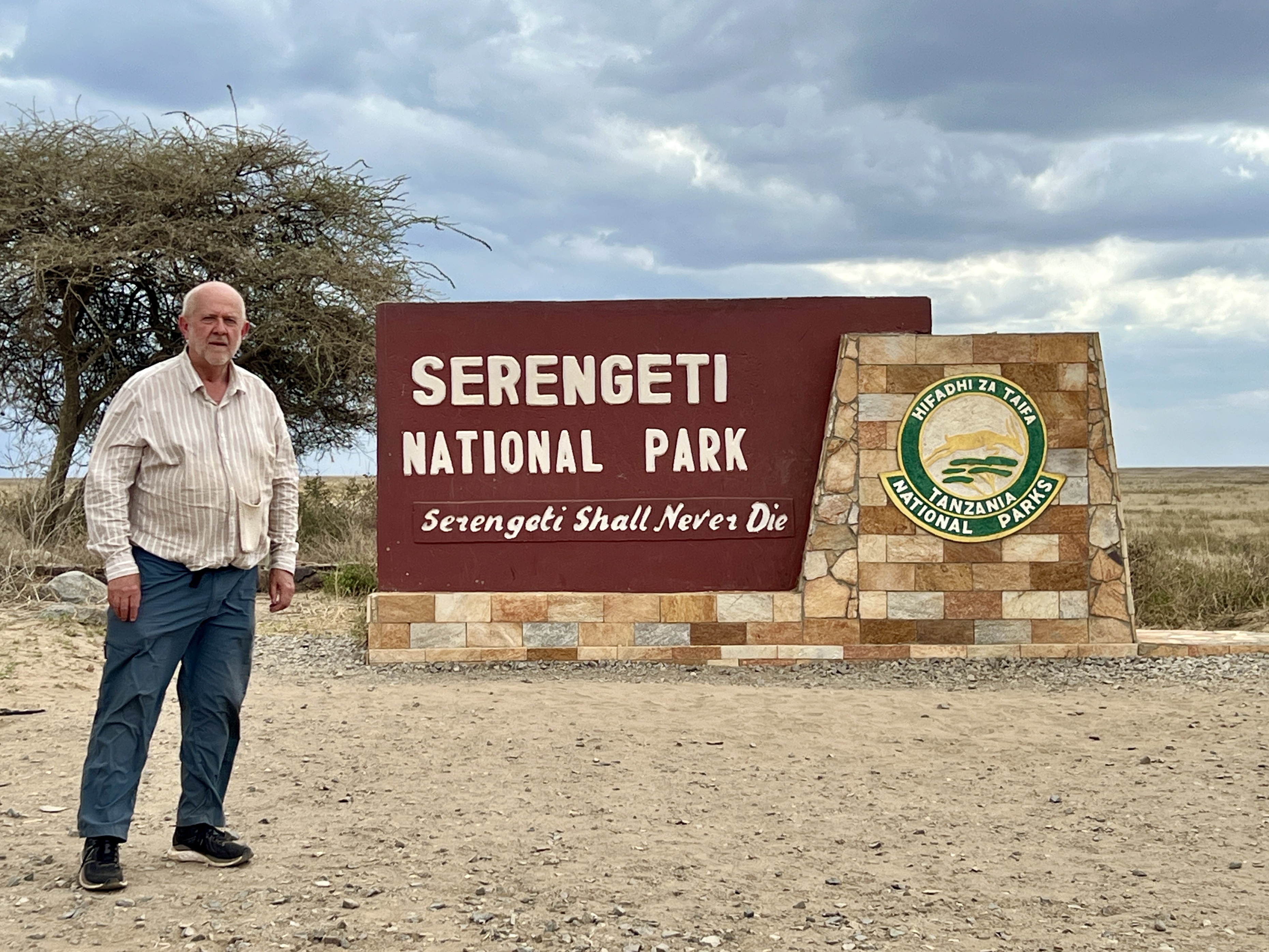
It took about four hours to reach our tented (it did have floor boards) campsite in the central Serengeti region. Solar powered and great encouragement to minimise the use of water. No cocktails here.

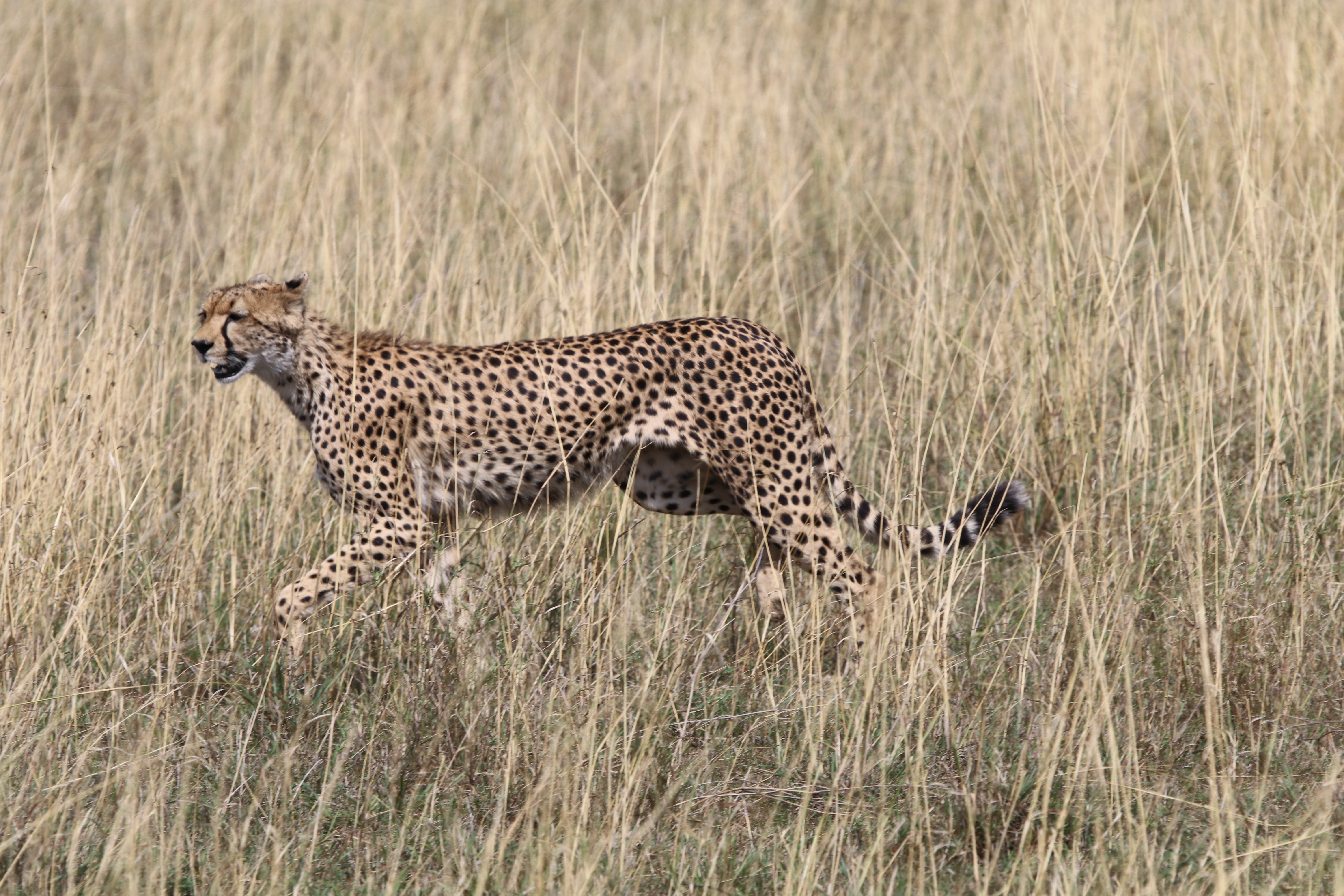
Along the way to the campsite we crossed off our list one of the big cats that roam around these parts. The Cheetah, this was our first sighting.
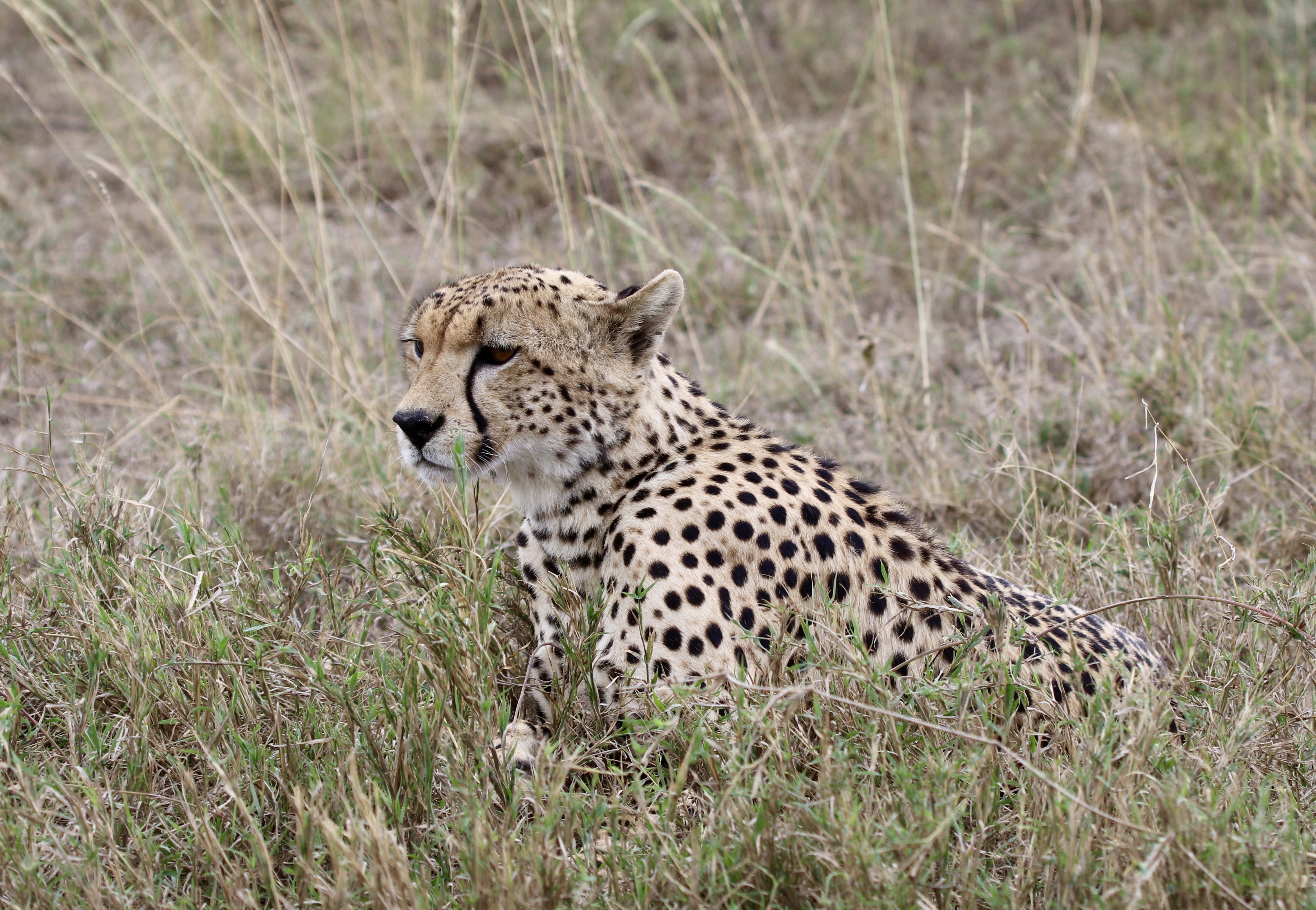
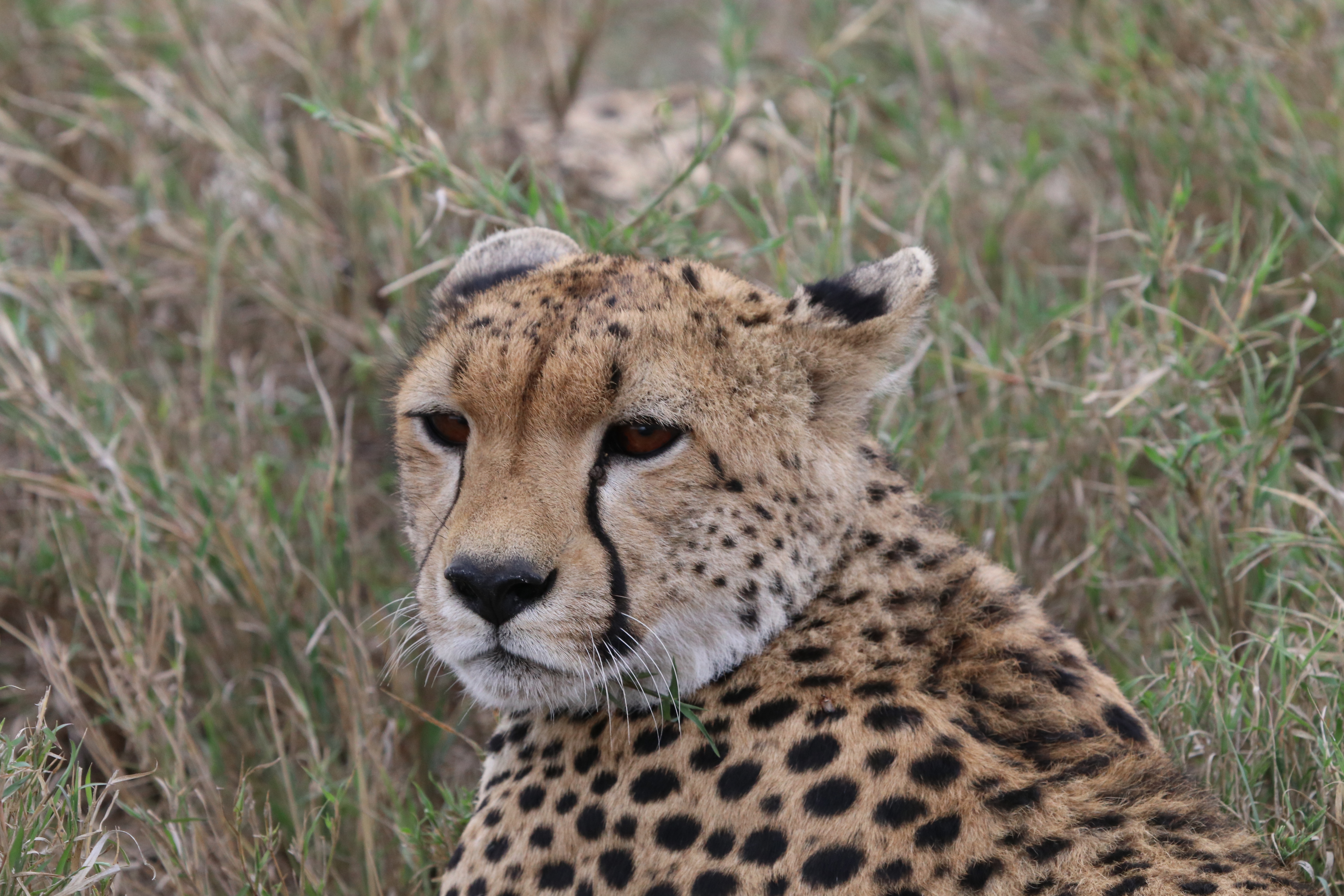
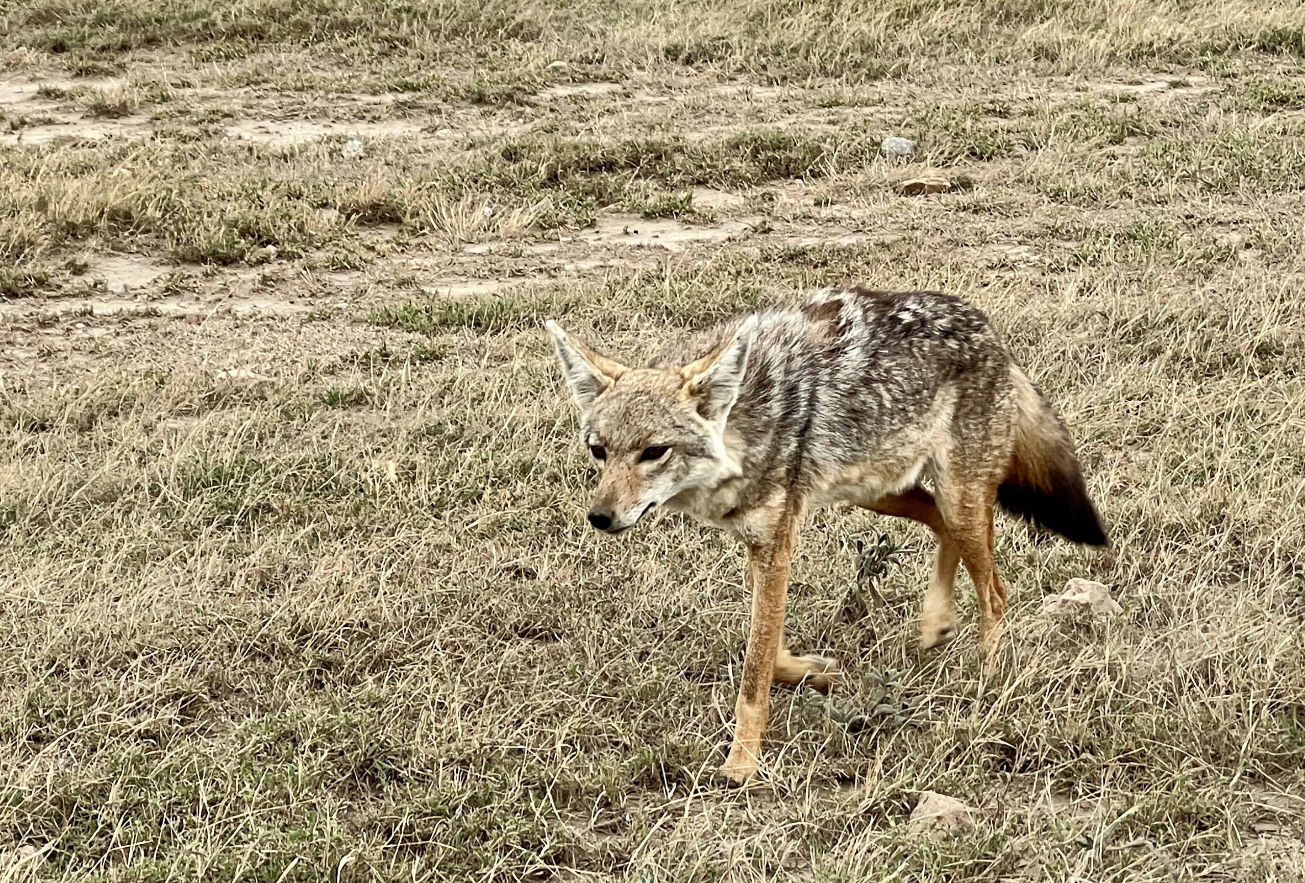
Four of them crouching and lying around in the longish grass beside the road. A bit later on we were able to follow another one as it loped across the plain quite close to the road…..track. A jackal also greeted us beside the road.
We had three nights here in the tent, it did have an ensuite so we did not totally rough it. There were no fences and it was necessary to be guided back to the tent and zipped up for the night. We were supposed to have a whistle to blow in the event of any dramas, we couldn’t find ours. There were no dramas anyway.
During the night there were regular animal sounds coming from the surrounding scrub. Lions and hyenas according to the guide were the most common culprits.

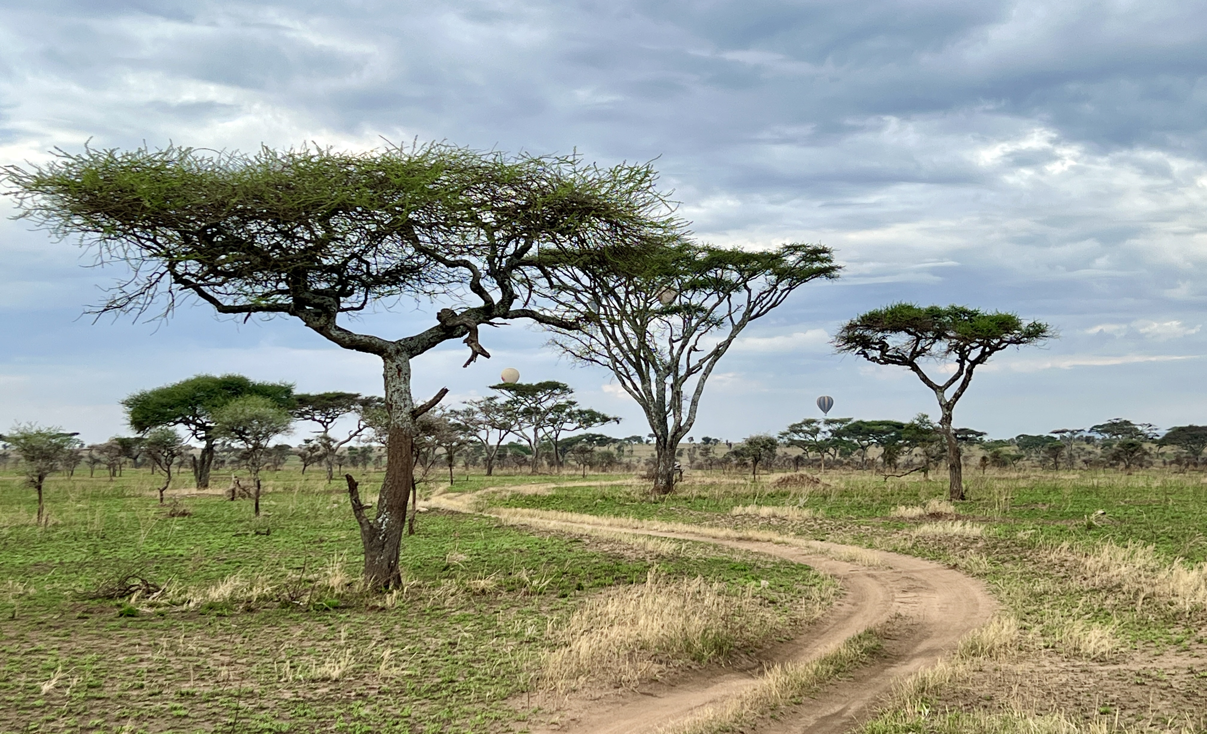
The Serengeti is a great big savannah parkland environment not a lot of trees, except along water courses. It is also famous for its big cats. Other members of the Big 5, apart from the rhino, are also in abundance.
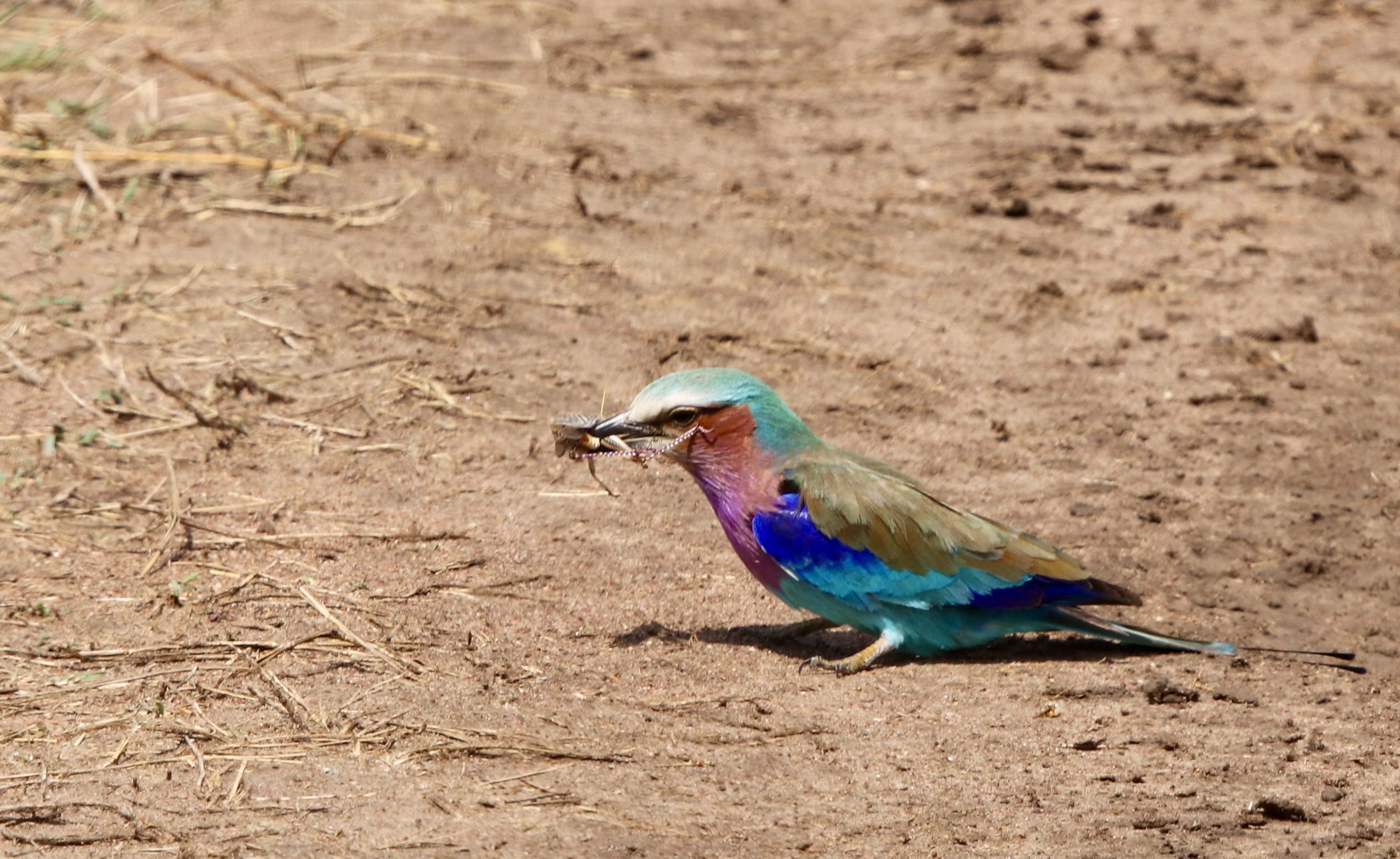

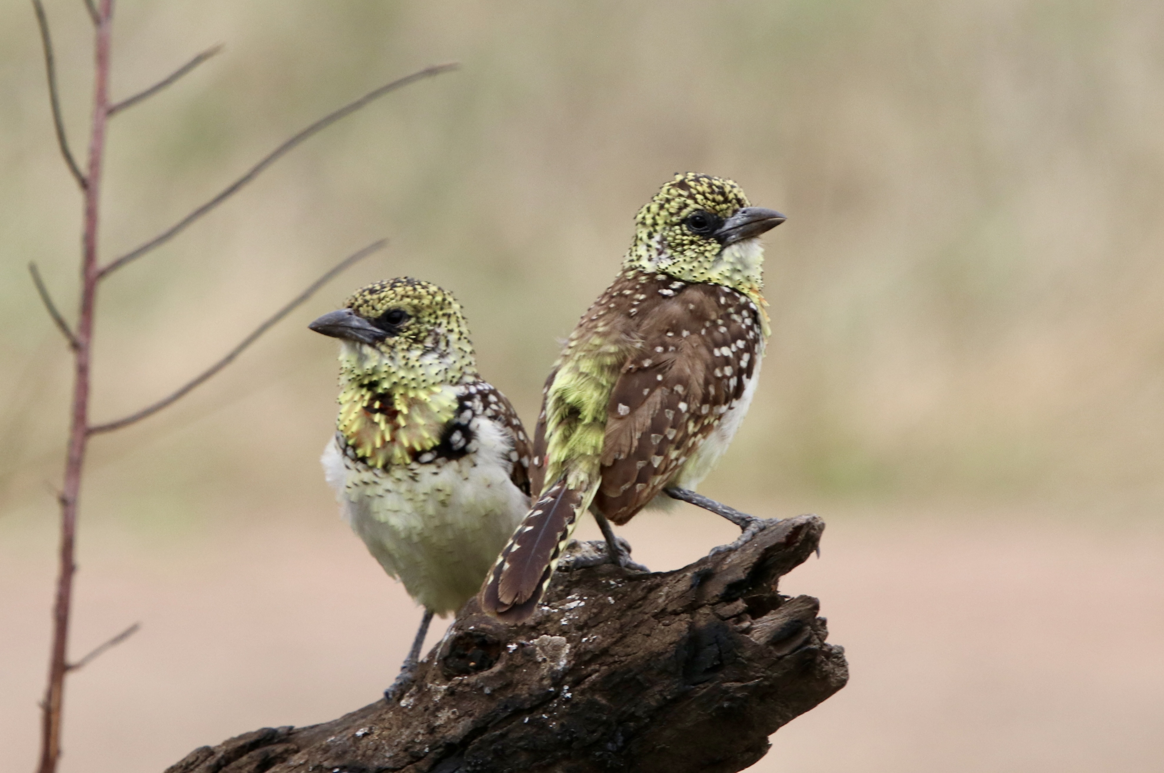
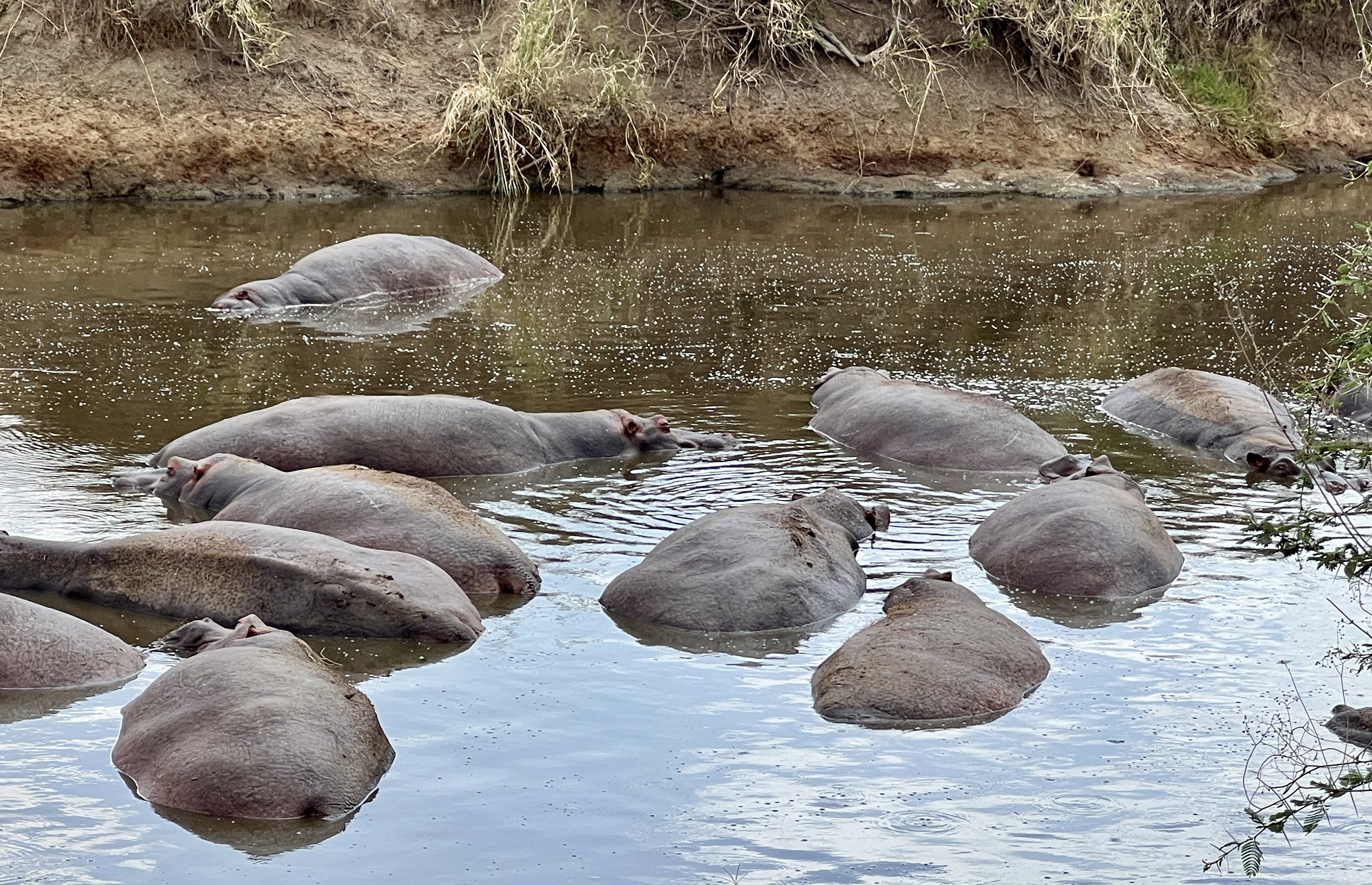
The birds continue to amaze, although they seem to be less in number. Perhaps because of the lack of trees. Hippos fill the drying water courses, packed in like sardines in some places.
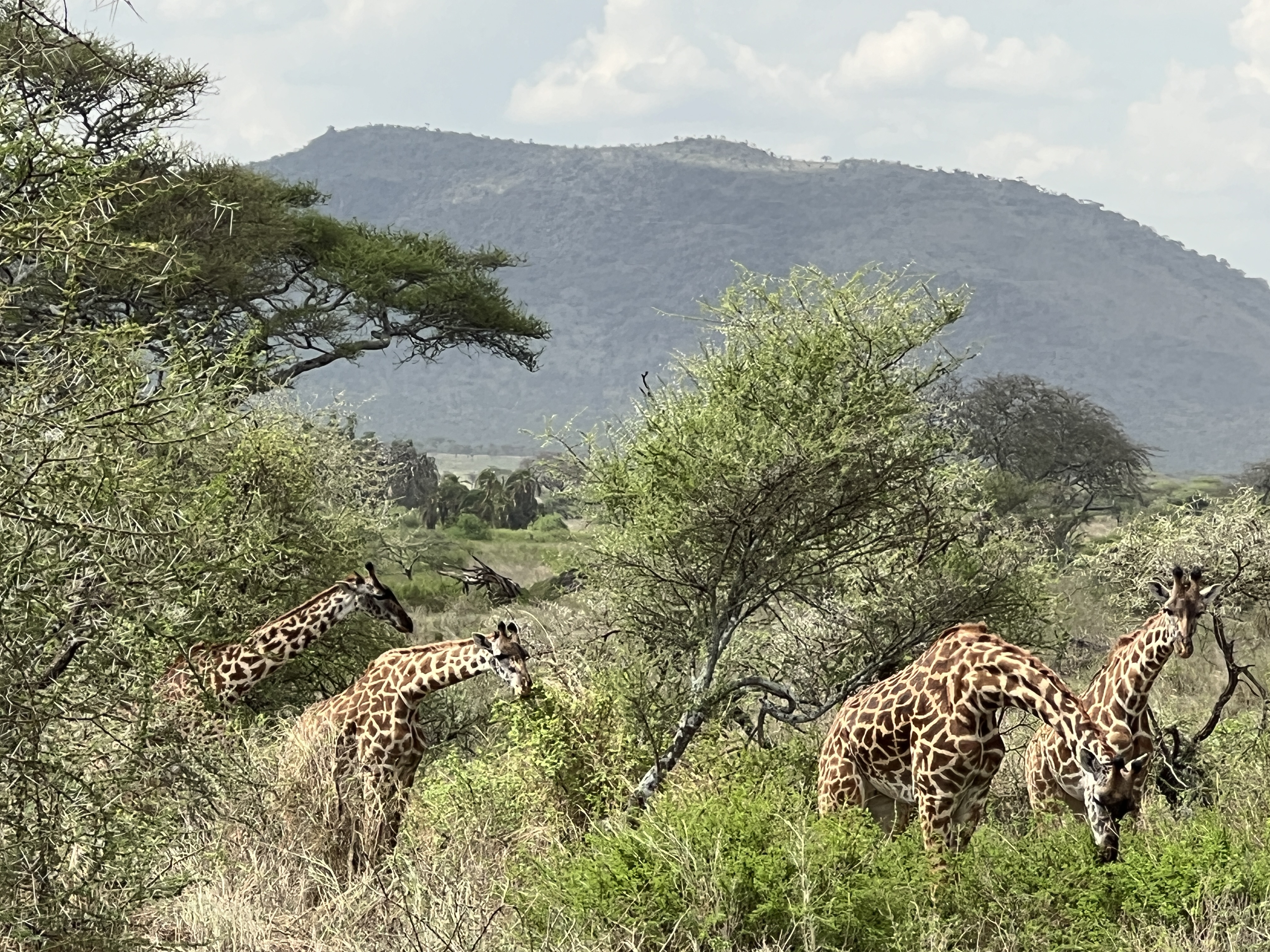
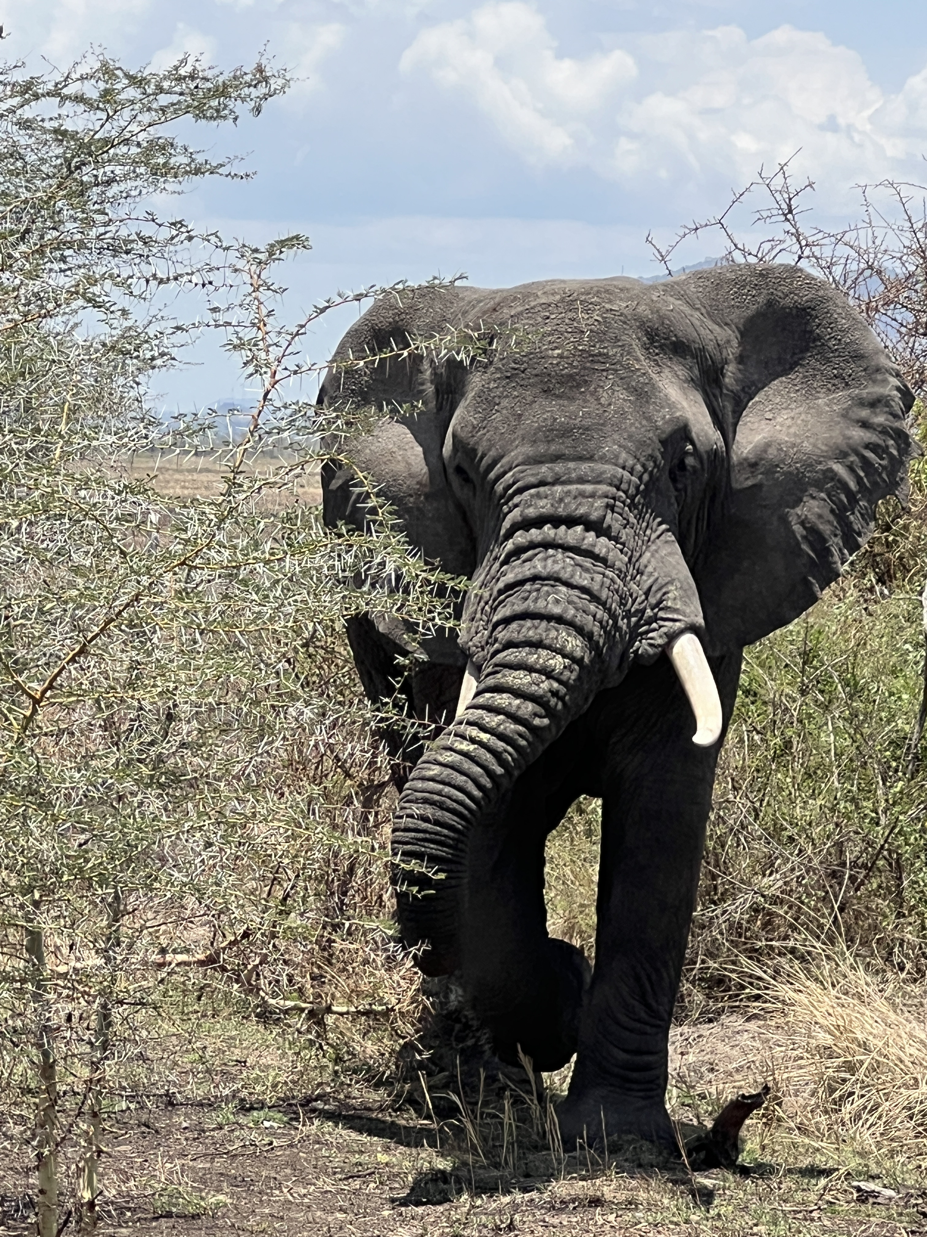
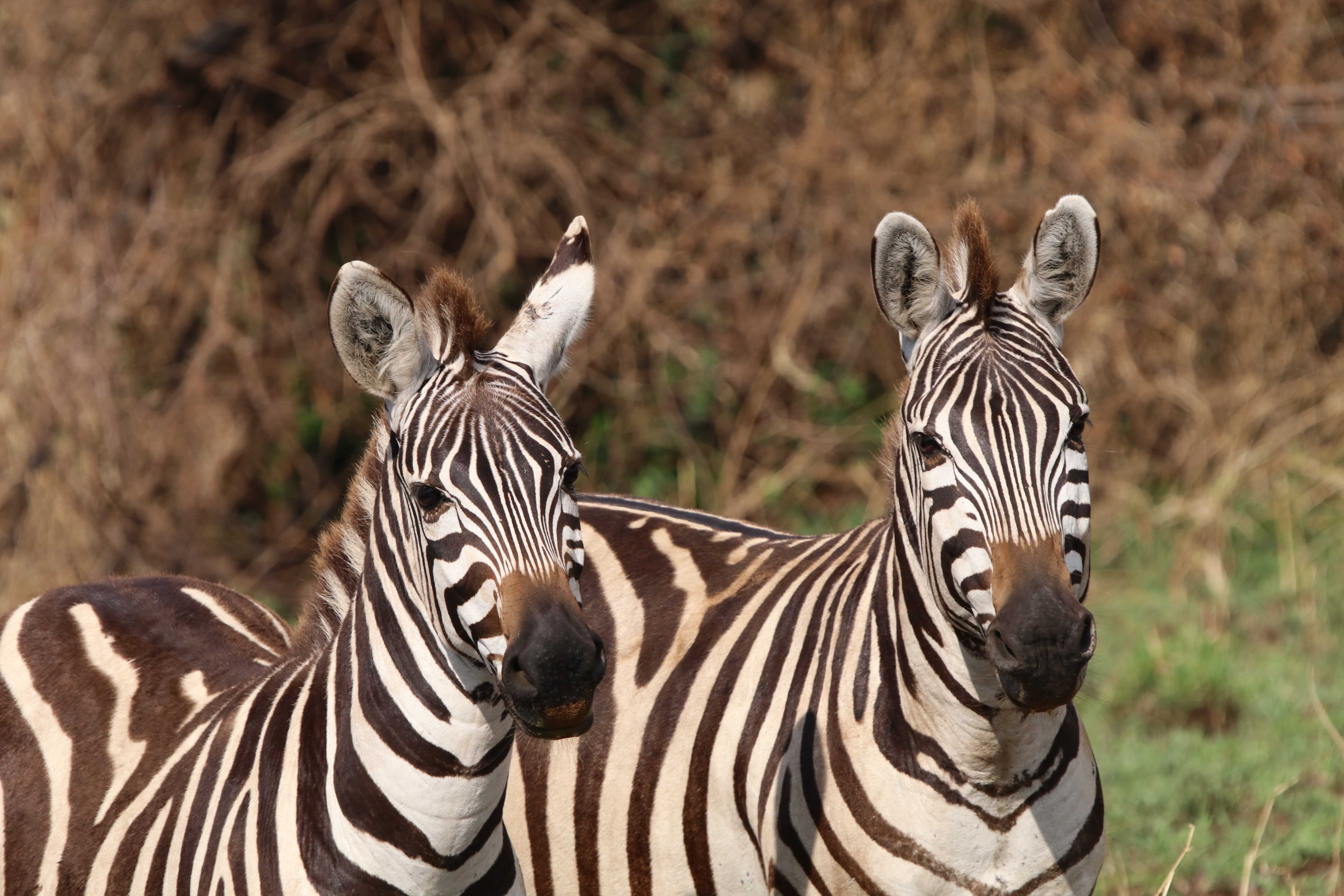
Elephant, Giraffe and Zebra roam around particularly around water courses and thicker vegetation. Male giraffe eat the top of tree foliage and the shorter females the lower foliage giving many trees an umbrella like appearance.
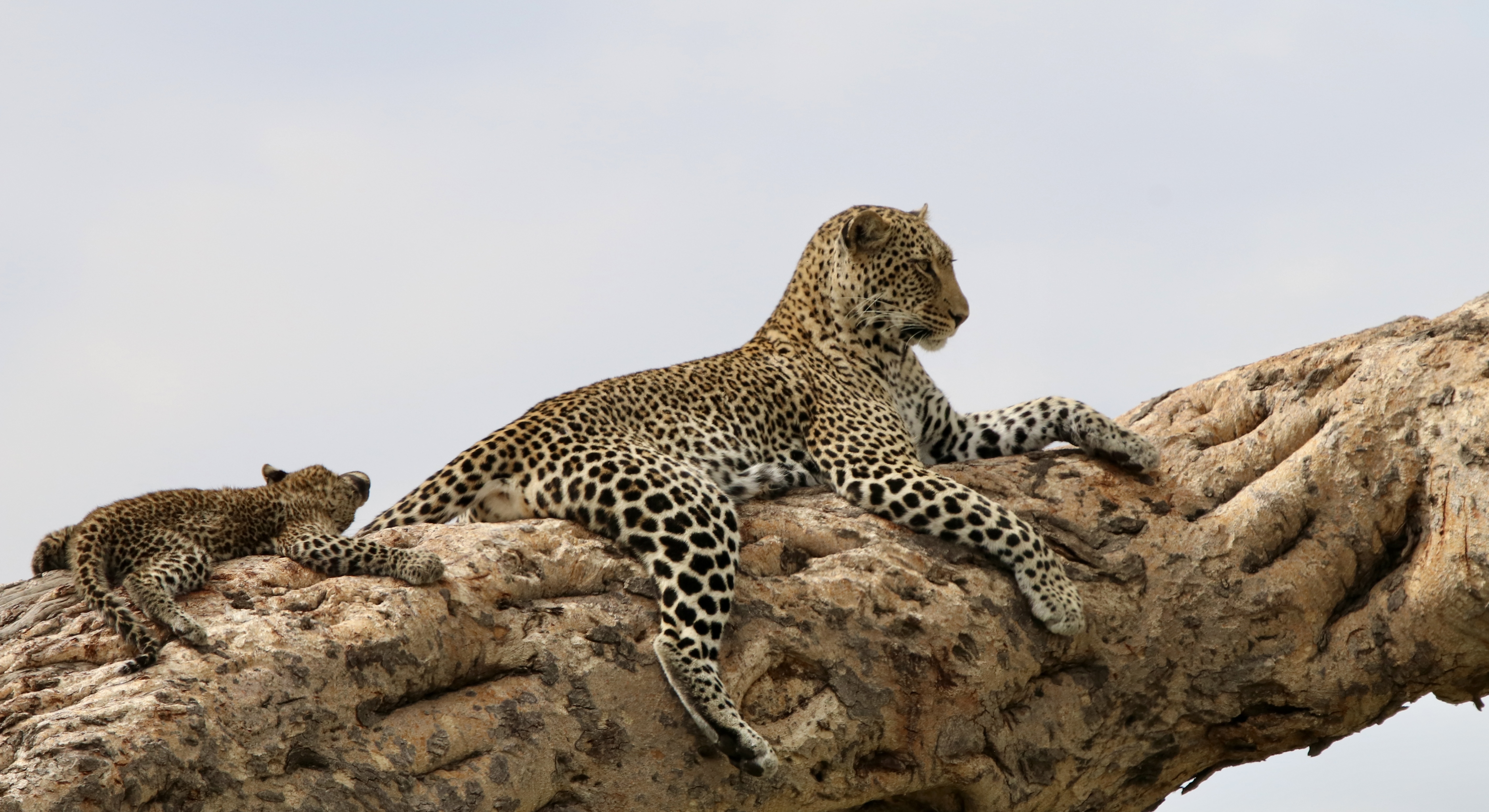
We also made our first Leopard sighting, a female on a tree branch with a cub in tow. The cub wanting to ‘muck around’ but the mother seeming to just want to lay around.
We were also ‘lucky’ to experience a Serengeti rain storm. It just tumbled down, the tracks becoming a bit slippery and in places boggy. We quickly made it back to the lodge to avoid a quagmire.
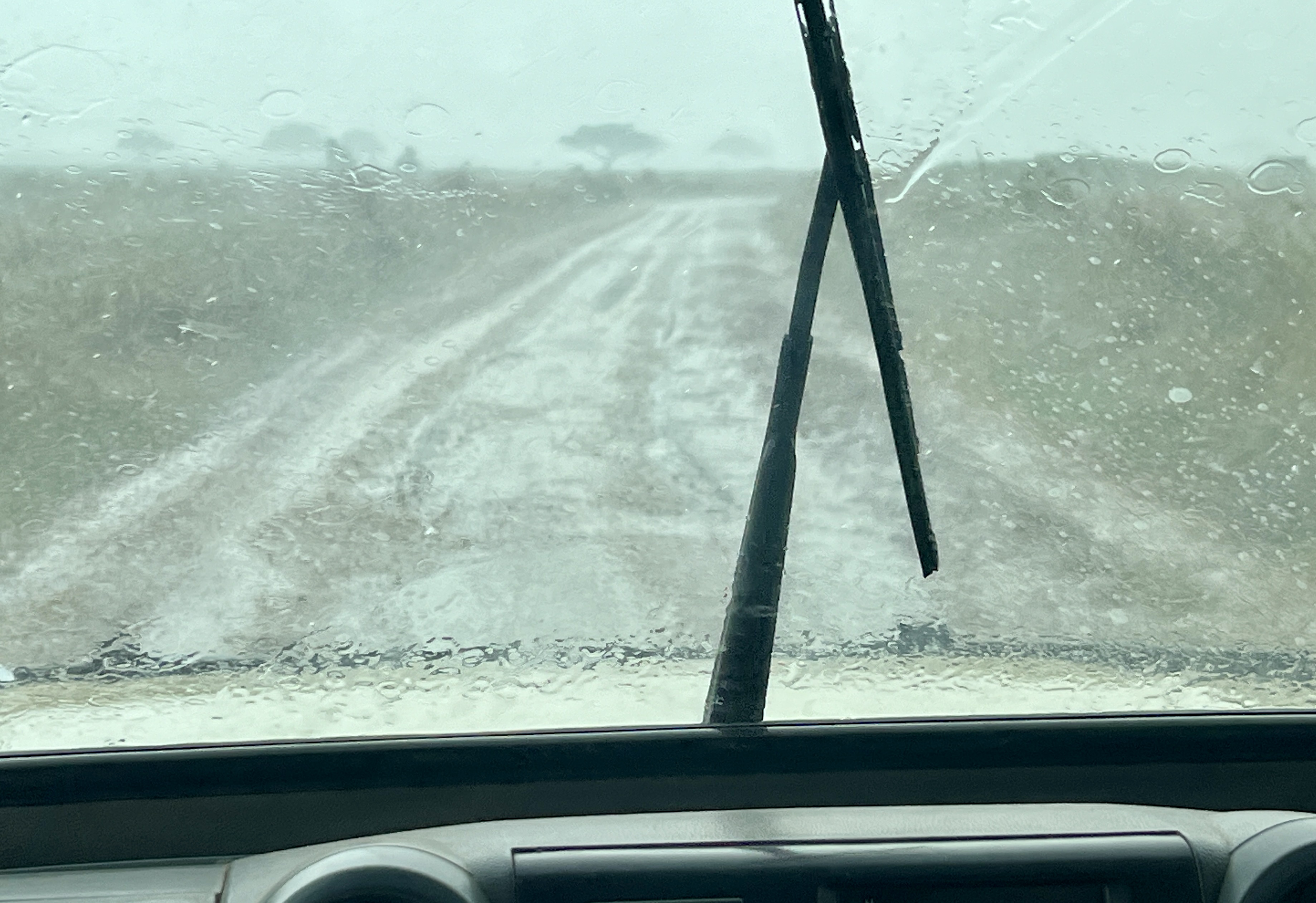
In the morning some of the water had drained away, leaving the occasional flooded wheel track to navigate around.
On our way out of the park on the last day we saw a great herd of buffalo making its way south. Similarly, long lines of Wildebeest and Zebra.
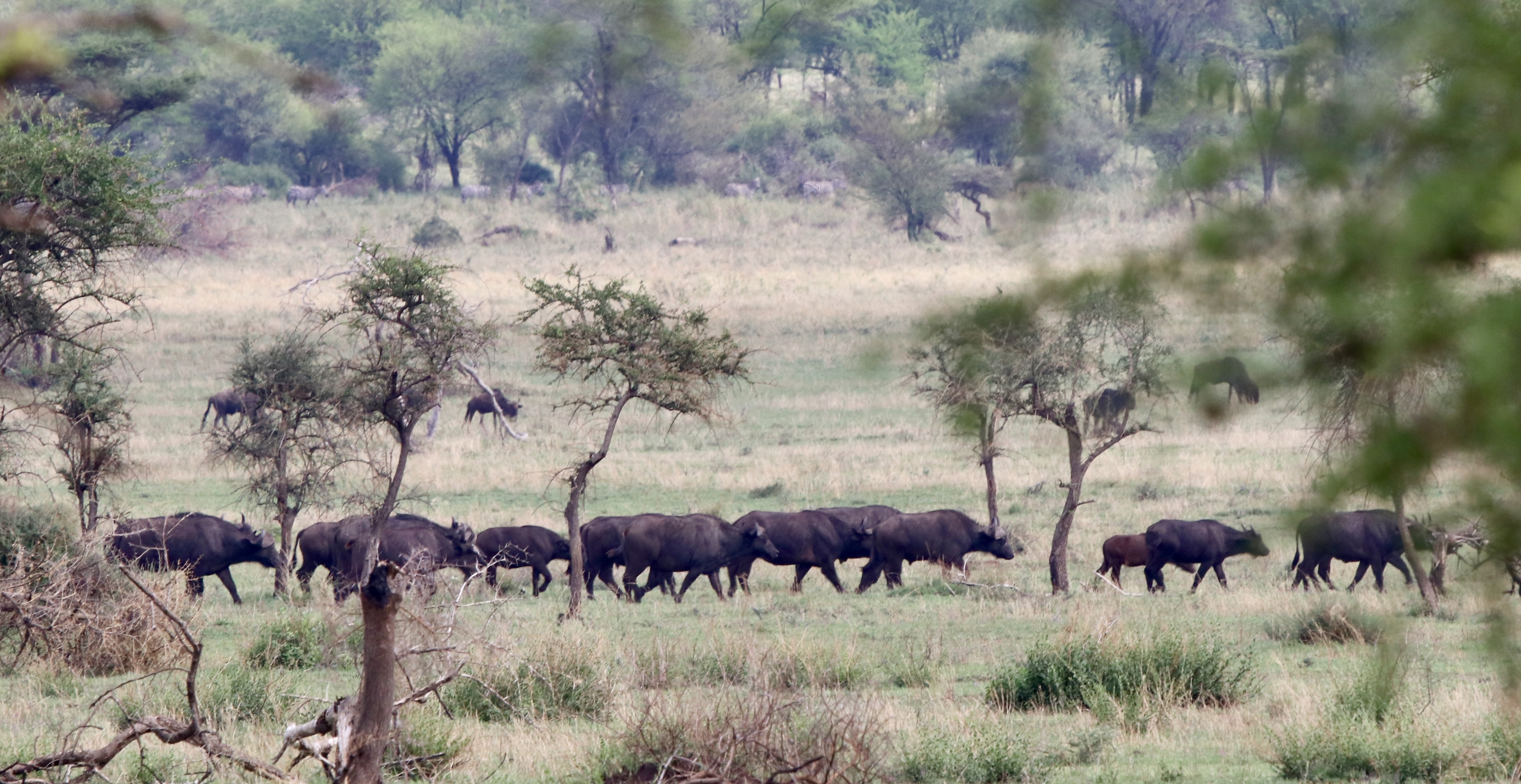
It seems that the migration had made its way south out of Kenya ahead of time and we would not see the famous crossing of the Mara River. This is a bit of lottery timing wise anyway and you have to roll with nature!
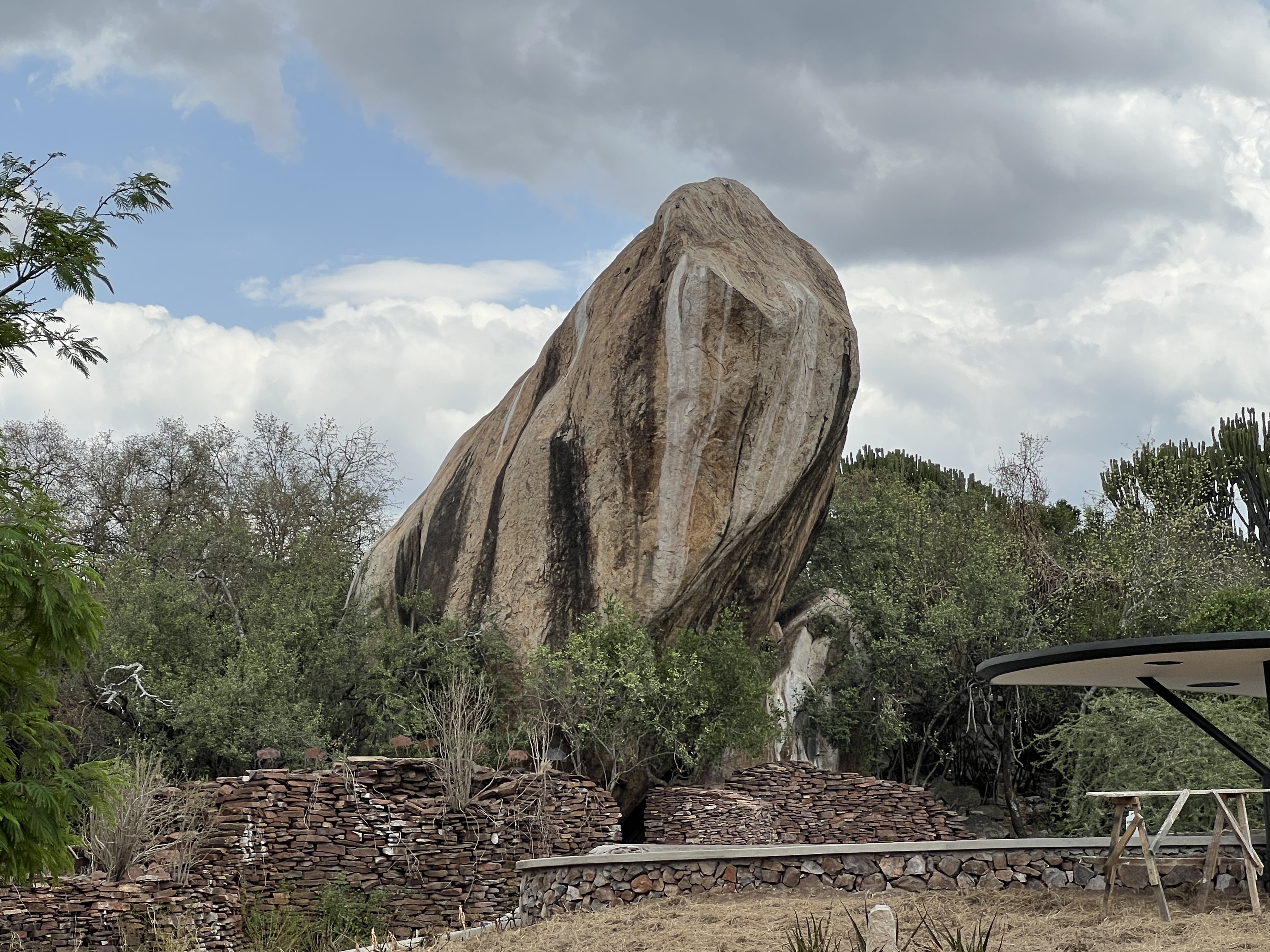
We made it, again a long drive, to the shores of Lake Victoria for a one night stopover.
Ngorongoro Crater
We departed Lake Manyara and set off for the Ngorongoro Crater. The crater is the world’s largest intact volcanic caldera. It is 19 km in diameter and 610 metres deep.
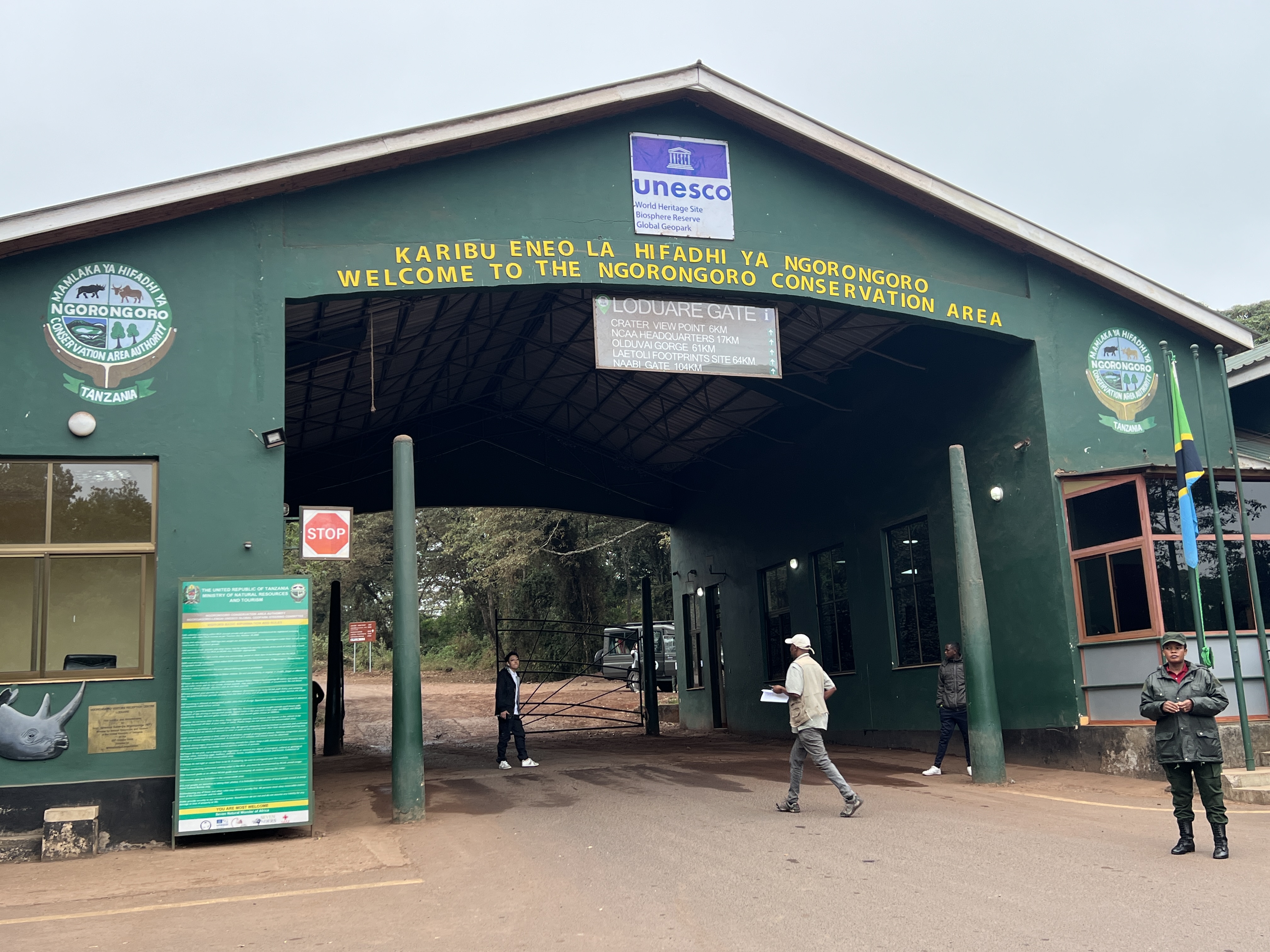
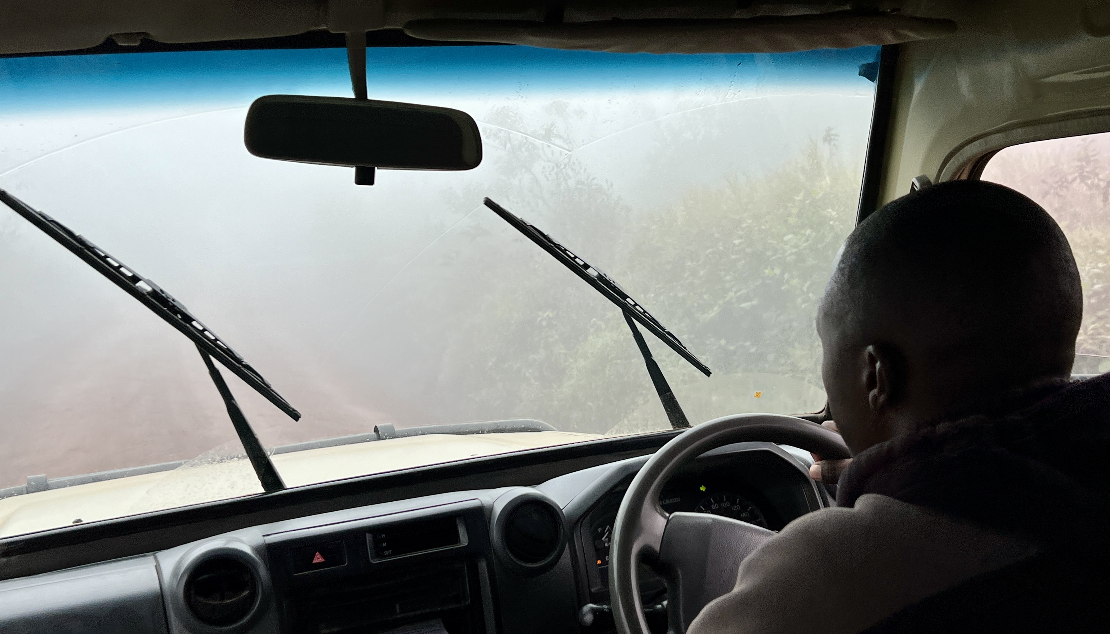
It was an overcast day with heavy cloud and as we climbed the Crater wall along a narrow, steep sided rocky track the weather really closed in. Difficult to see a few metres ahead. Homealone was a bit edgy in places.
When we got out of the trucks at the top and looked down into the crater it was like a pea soup bowl of foggy cloud.
It was a bit of a disappointment because this spot has a magnificent view of the crater lake system and vast plains. Turning back to get into the trucks for the descent into the crater there was a dramatic change, the clouds lifted somewhat and the shimmering lake appeared below.
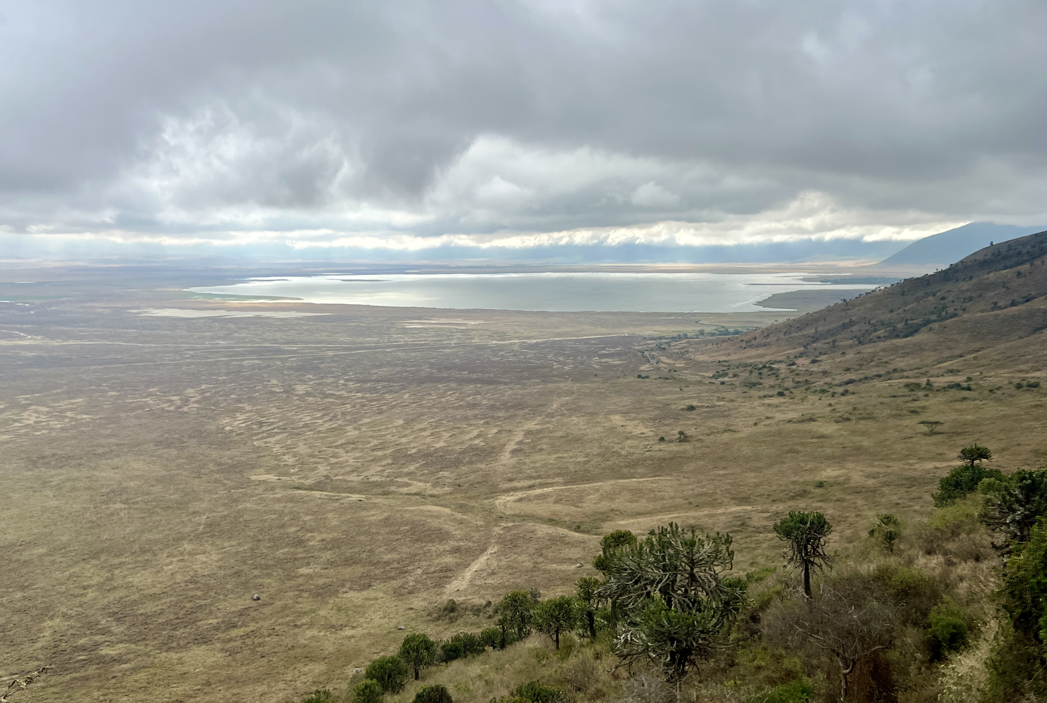
An amazing view. From that point on the weather generally cleared for a great drive through the park.
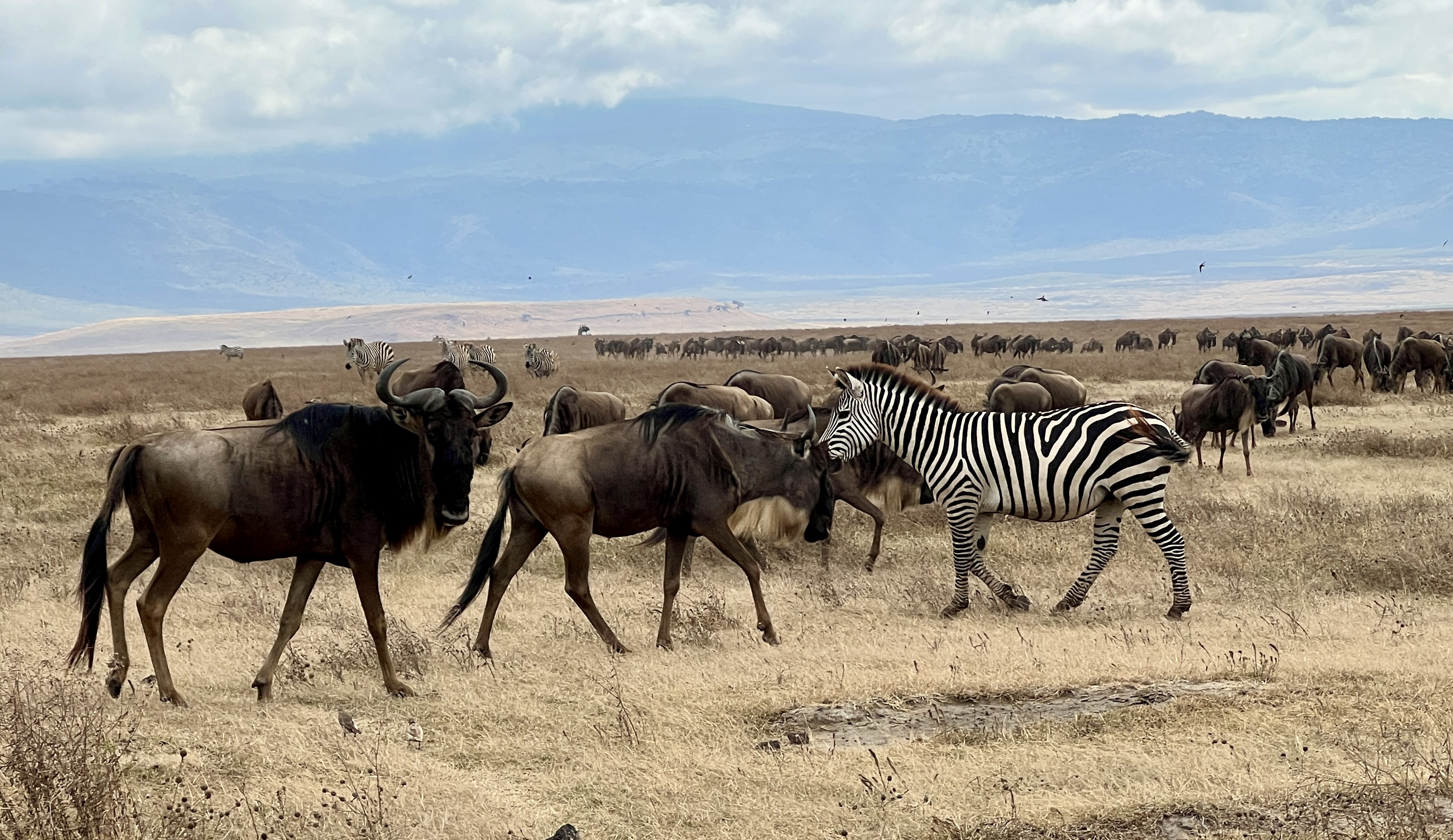
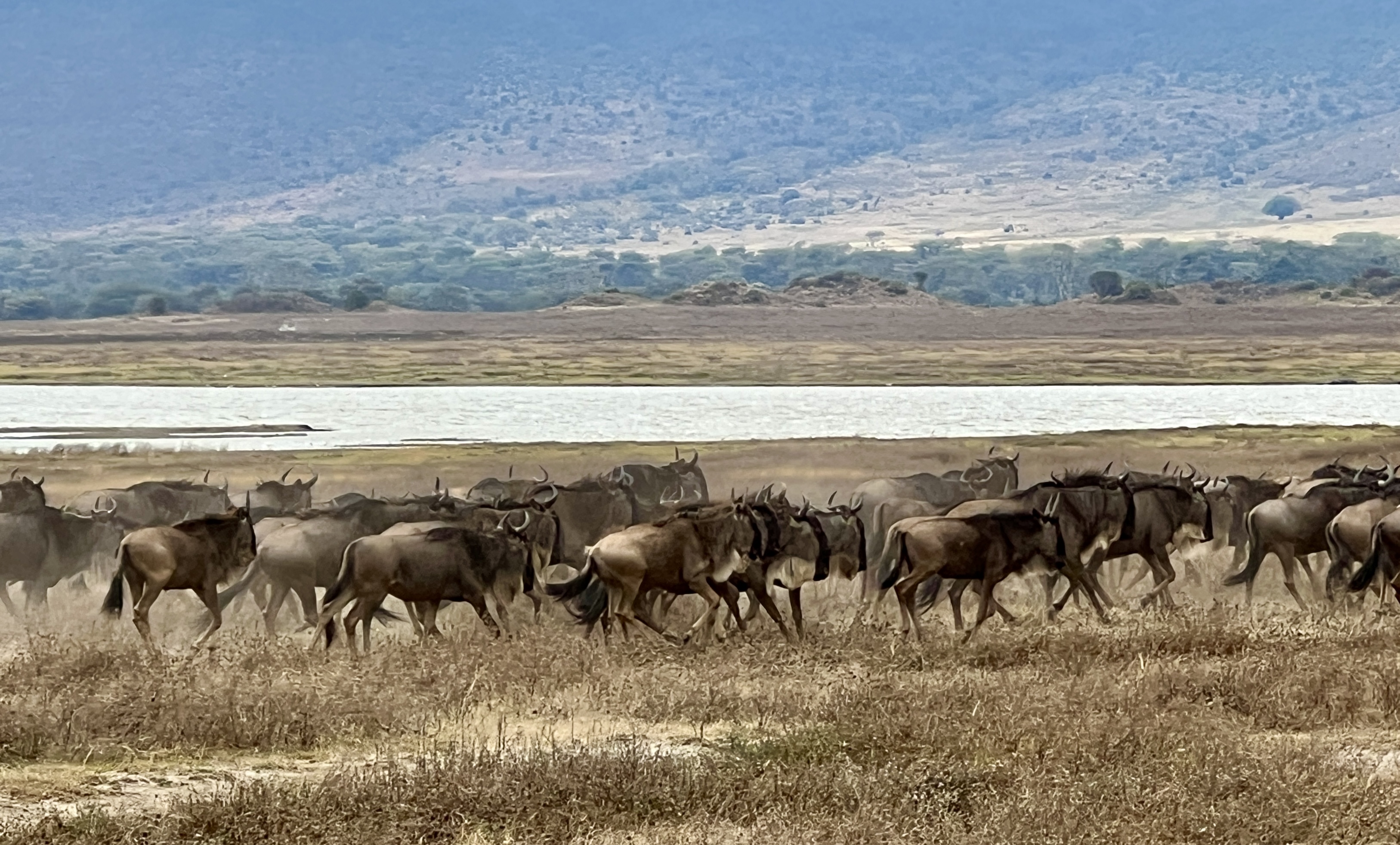
All the usual suspects put in appearances. It was the first time that we had seen herds of wildebeest moving around with their mates the zebras. Apparently, the zebras lead the wildebeest around on their migration. The zebras are the first to munch on the new grass, the wildebeest then follow (they can munch the grass closer to the ground than the zebra, so the zebra go first) any other grazing animals following the pack go last. The order of things.
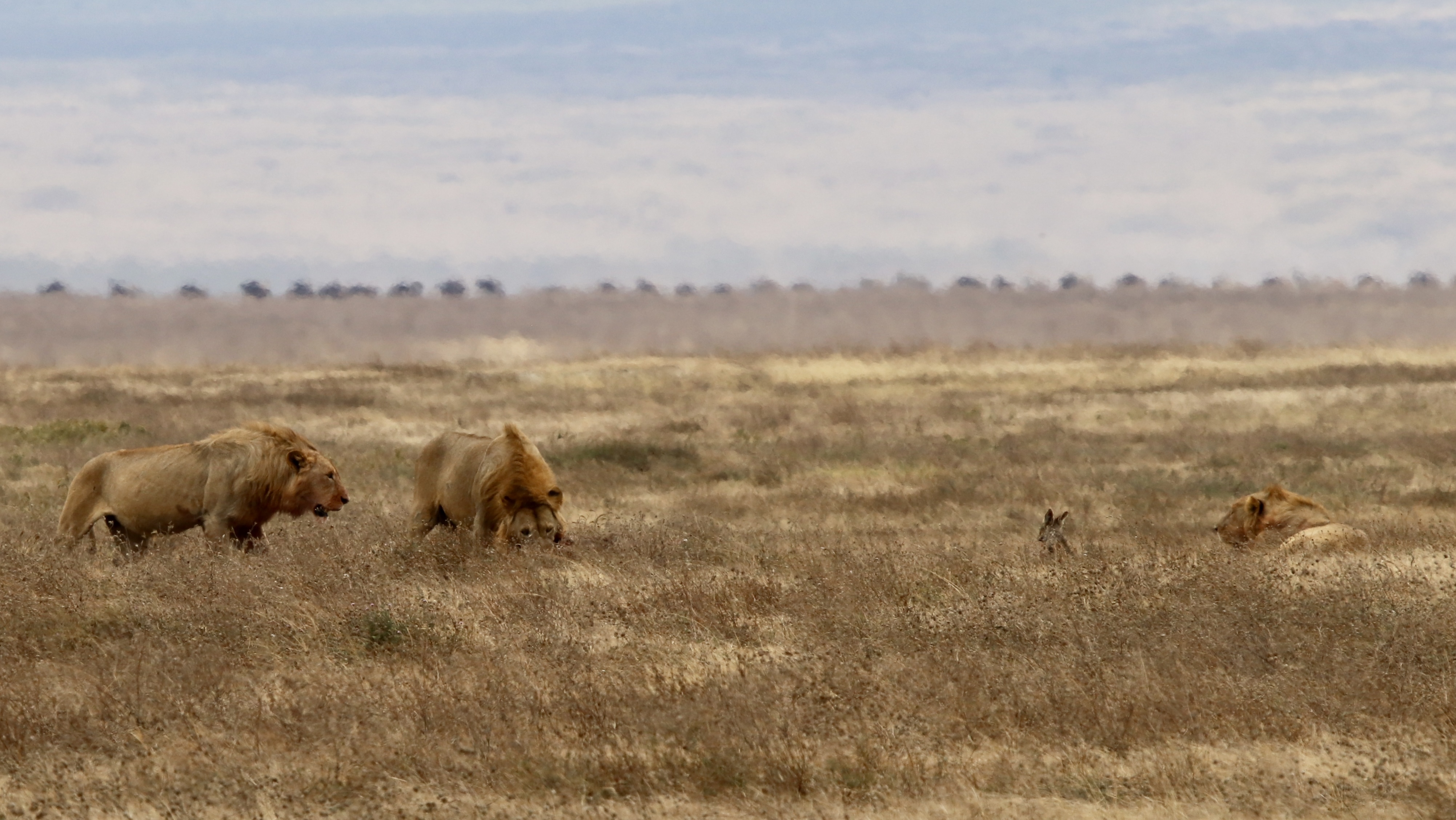
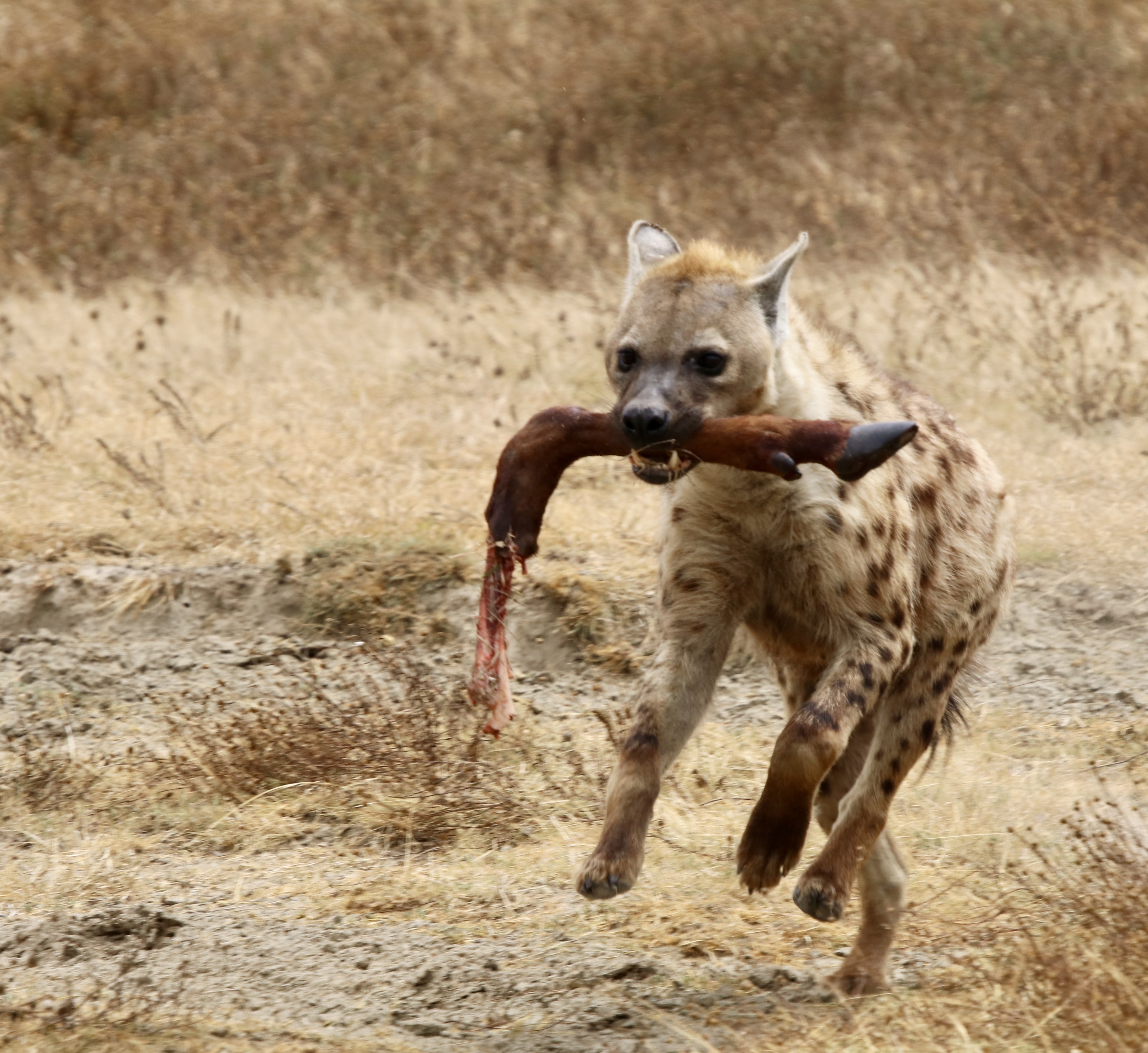
A number of lions were seen lying back in the grass, including this threesome gnawing on a kill. Some hyenas were lurking around waiting for the scraps, but this chap was emboldened and darted into to grab the leg of the kill and then took off straight towards us at a great pace followed by some others. The lions kept gnawing away.
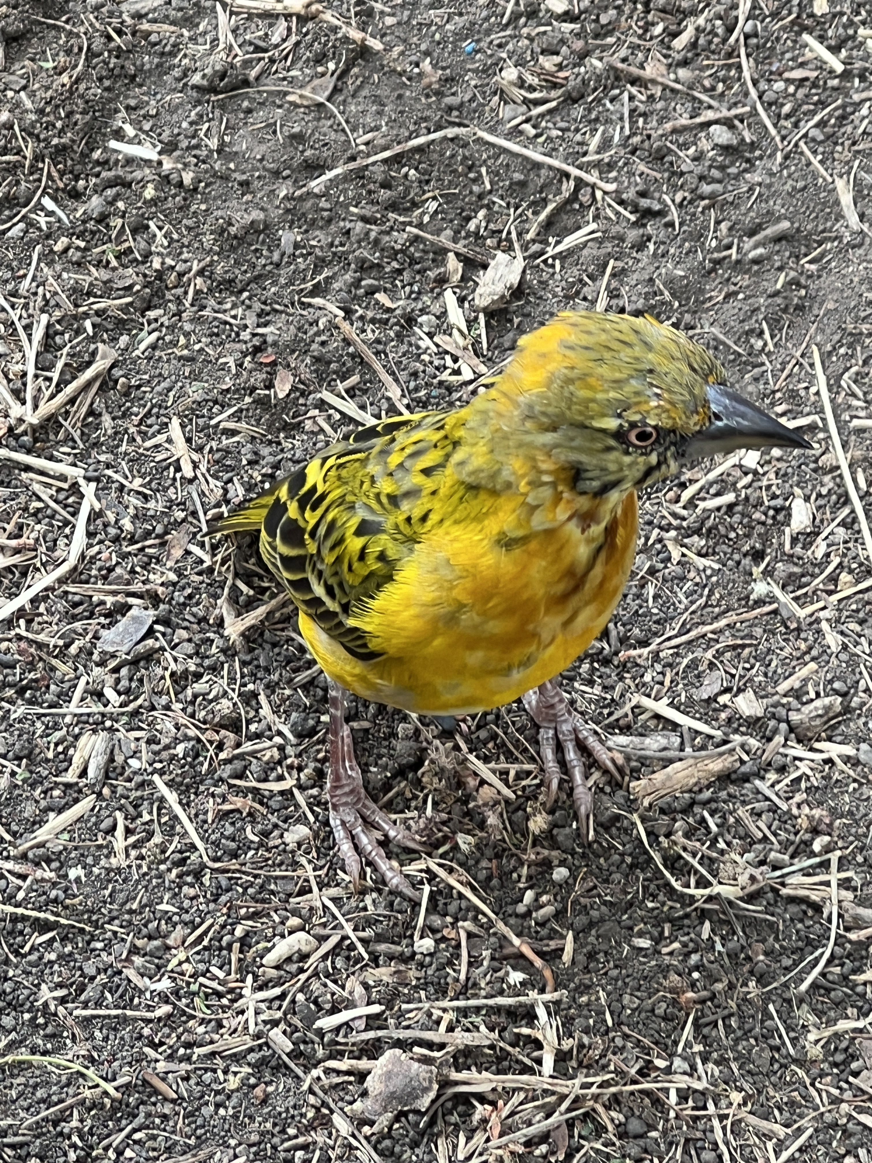
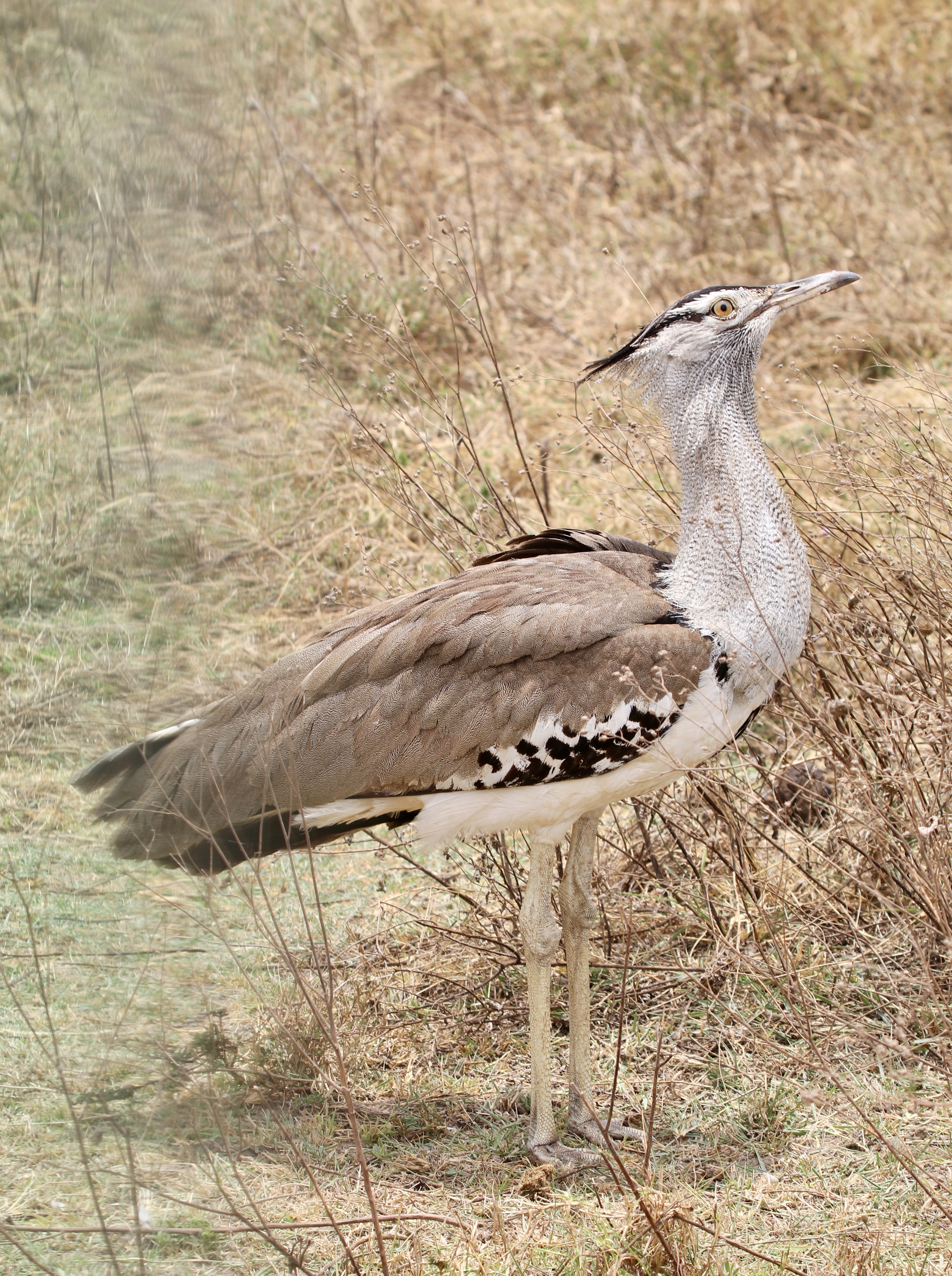
The colourful bird varieties continue to amaze us and rival the animals for attention.

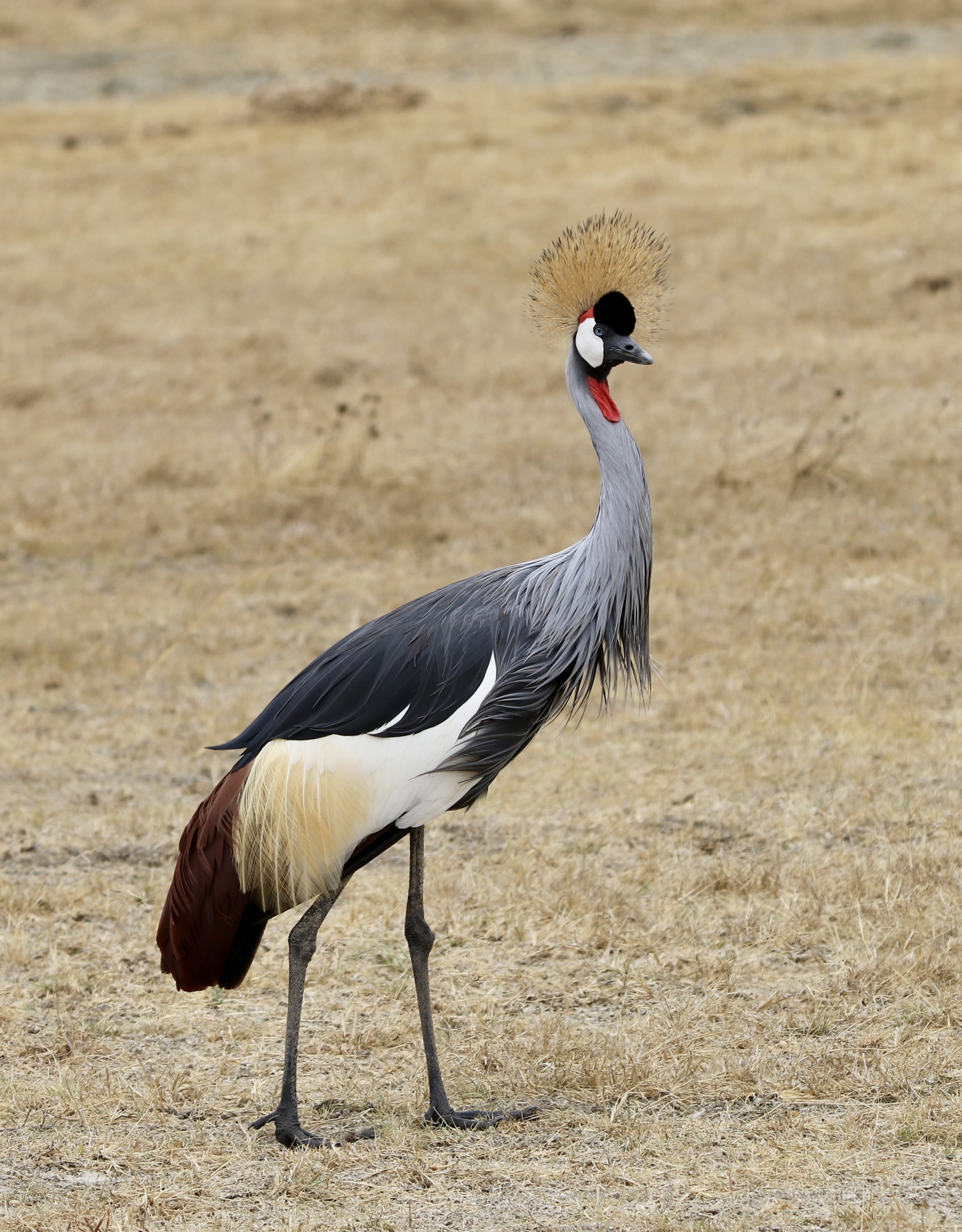
Towards the end of the drive we passed by Oldupai Gorge. Readers may recall from High School Science that this is the general area where ‘The Cradle of Mankind’ is thought to be. Bones were found here in the 1950s that push human evolution back well over 1.5 m years. The little guide sheet we have notes that the different kinds of hominids found here show a gradual increase in brain size and complexity of their stone tools. Here is a sketch of the findings.
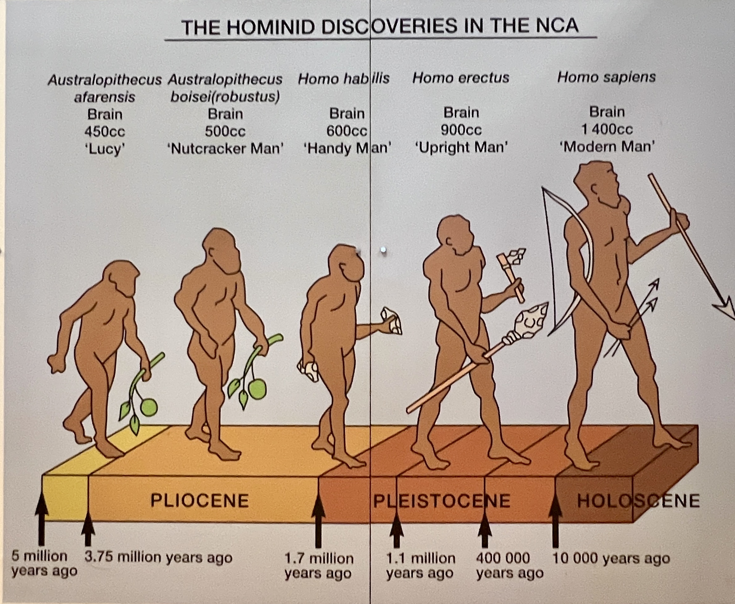
We didn’t have the time to go and visit the museum here that is located deep into the gorge. Rather a brief stop at a road side site with two great big heads pointing the way. Impressive!
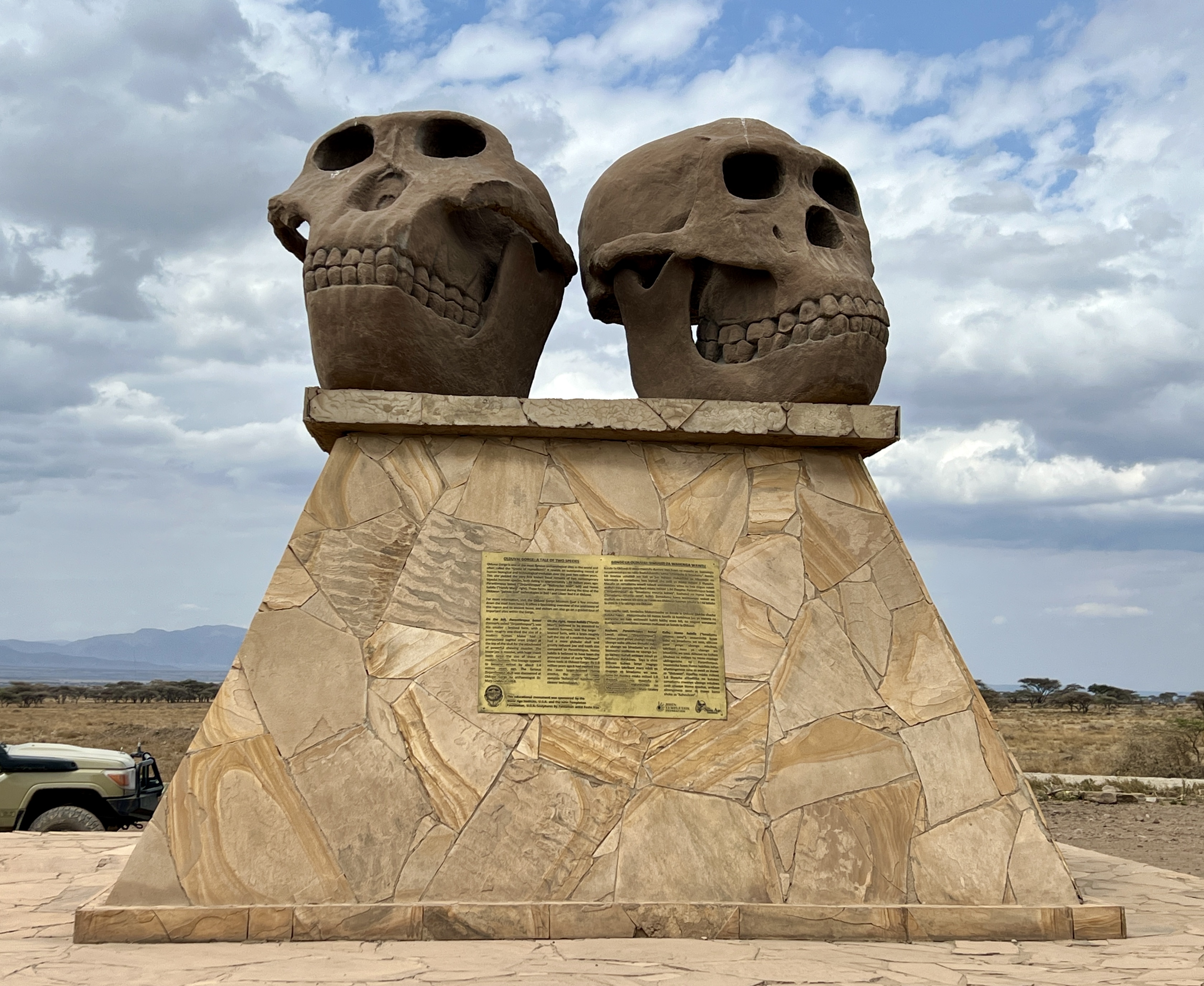
The Masai people roam around parts of the park with their herds of cattle and goats. Seemingly at times in the middle of nowhere, kilometres from their villages.
From there we meandered around the crater and ultimately climbed up the rim and down the other side onto the Serengeti plain. A story for next time.
Cultural immersion
The new day brought a change of pace. A day of looking into the lives of the local people rather than the animals.
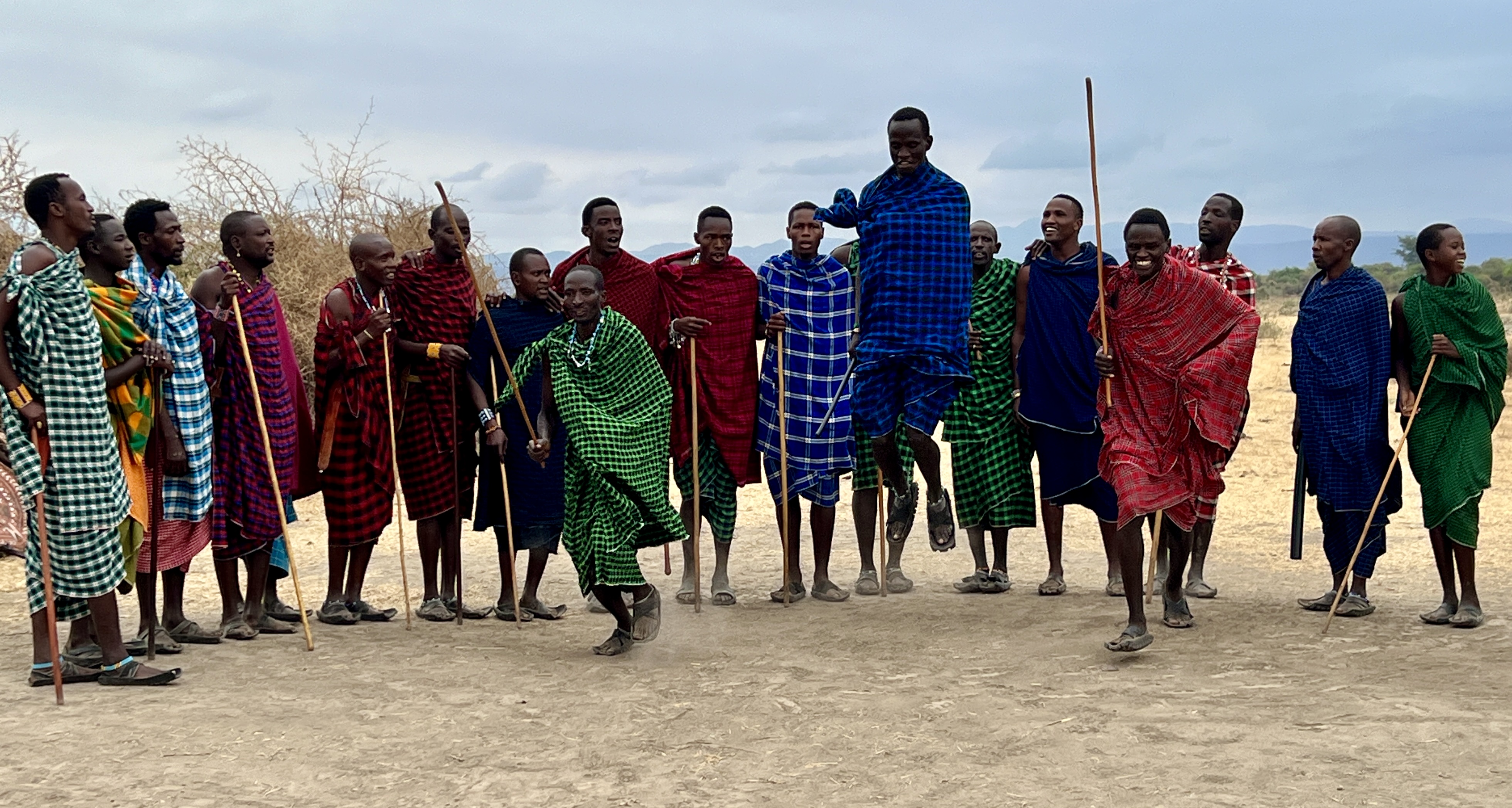
First up was a visit to a Masai village. A bit of an eyeopener into the lives of these nomadic people who are adjusting to a more permanent village lifestyle.
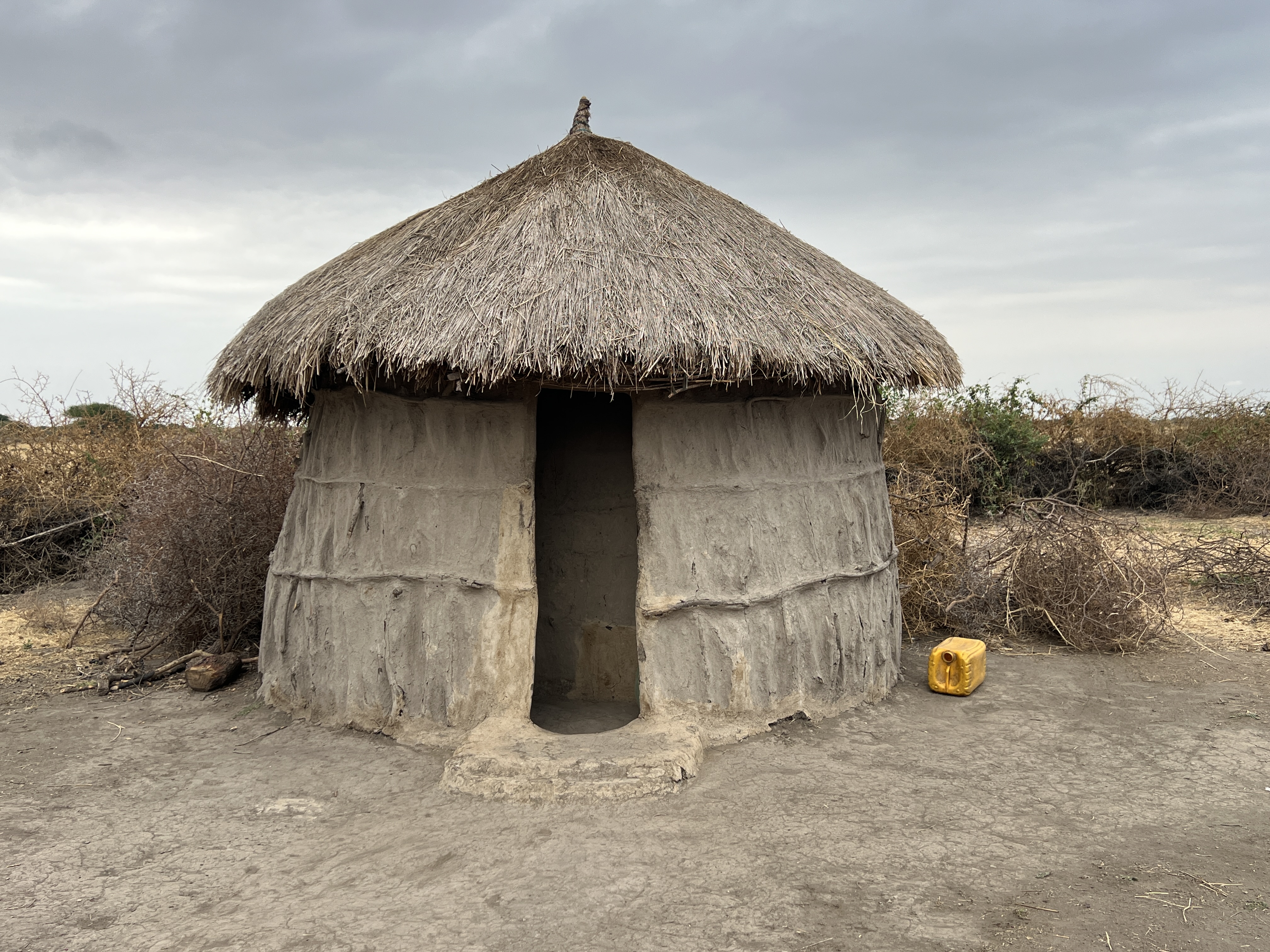
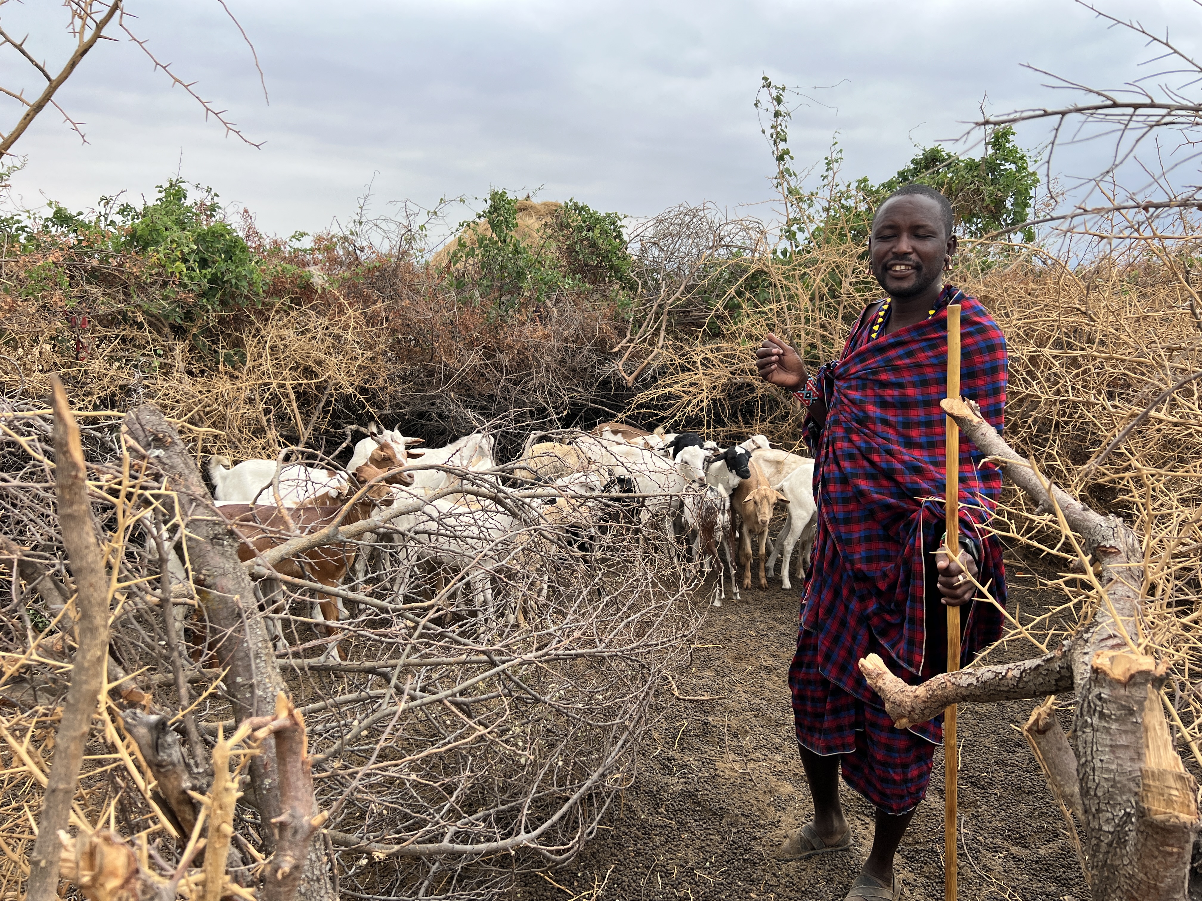
Small round houses around a circular thicket fence line with a central animal enclosure. An interesting chat and visit to a house, two small rooms (just big enough for a bed). One room for Mum and Dad and the other for how ever many kids there were.
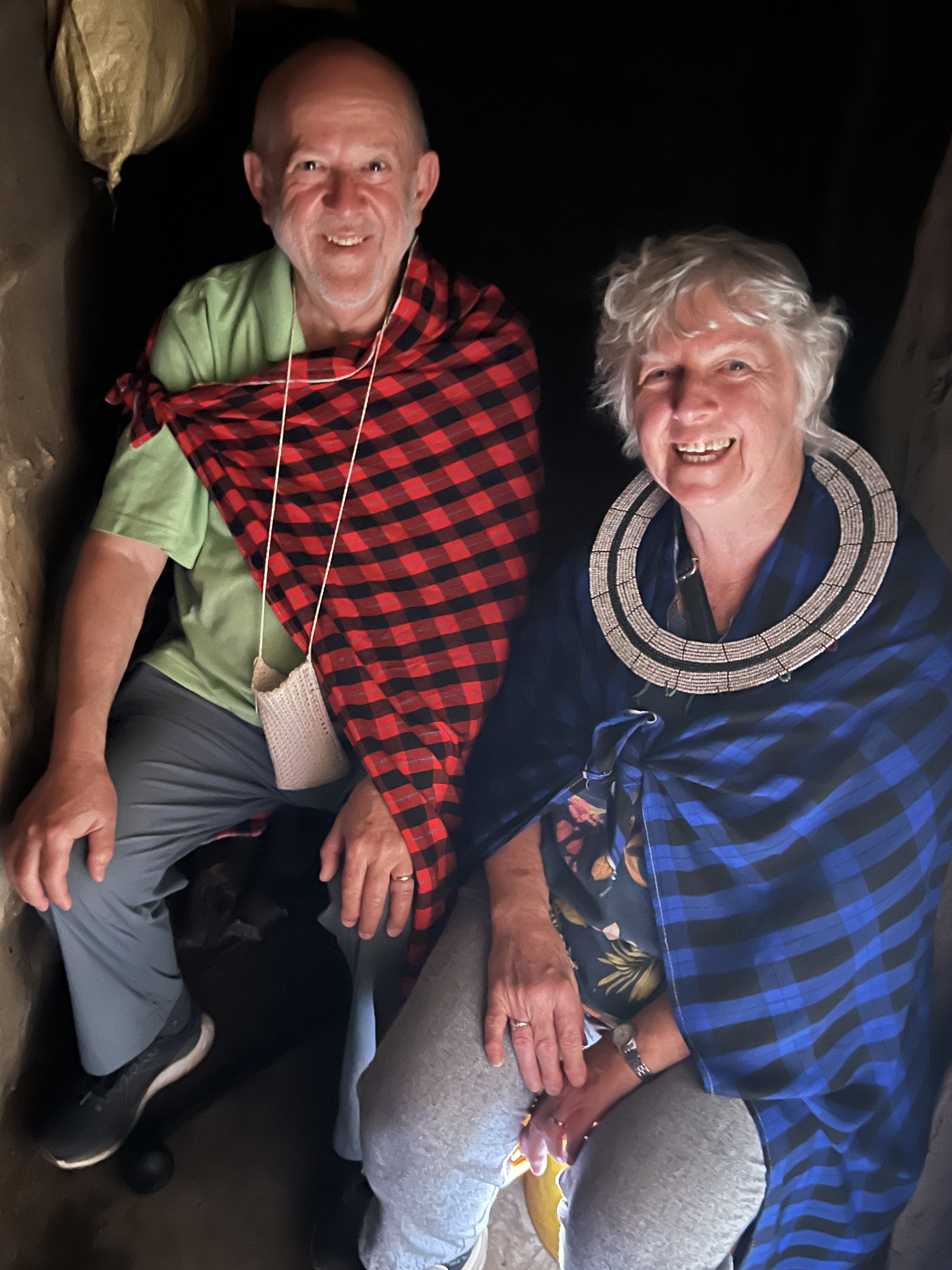
To finish it off there was a small kitchen area with an open fire place. All very squeezy, the loo was some where outside, bathroom not sure. After a wander through the craft stalls it was back in the trucks. Wasn’t allowed to get the 5 ft giraffe for the lounge room.
We then drove to a village and were escorted around the local community and introduced to village life.
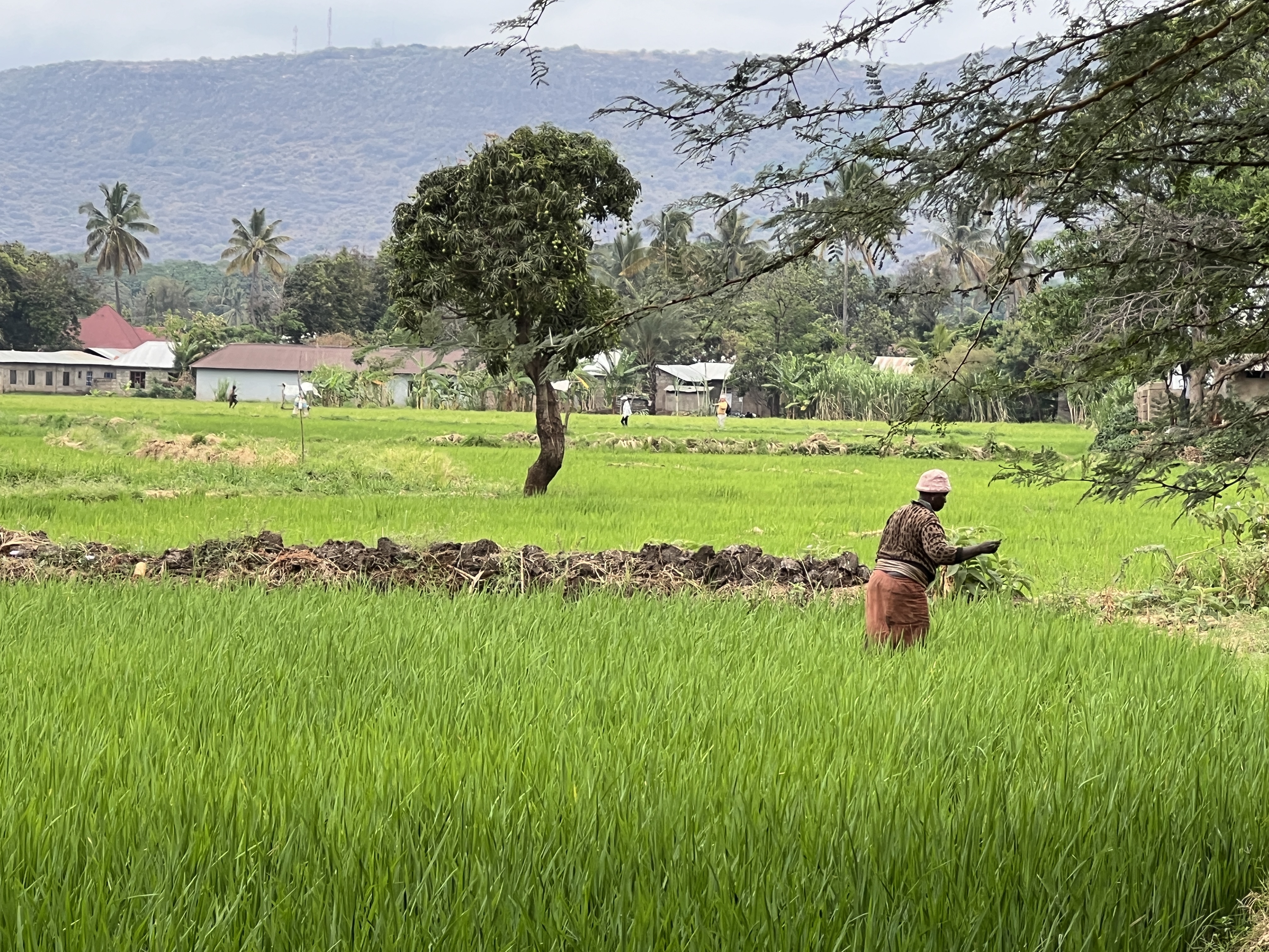
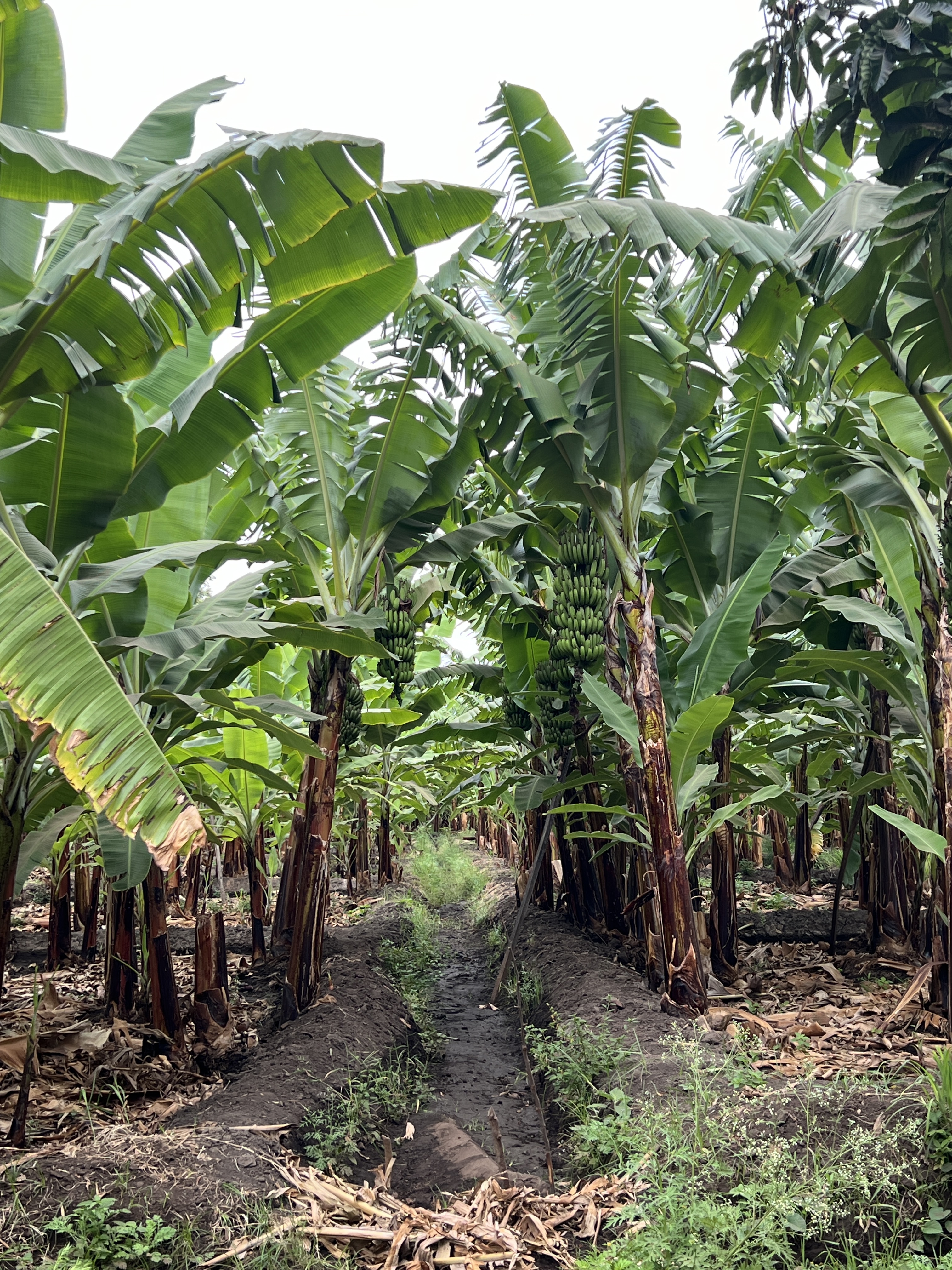
Had a look at rice farming and banana plantations. These are undertaken on landholdings passed down from previous generations, we would call it small lot farming. We paused for a short time to enjoy a cup of locally brewed banana beer, not much can be said about this but the locals do seem to enjoy it.
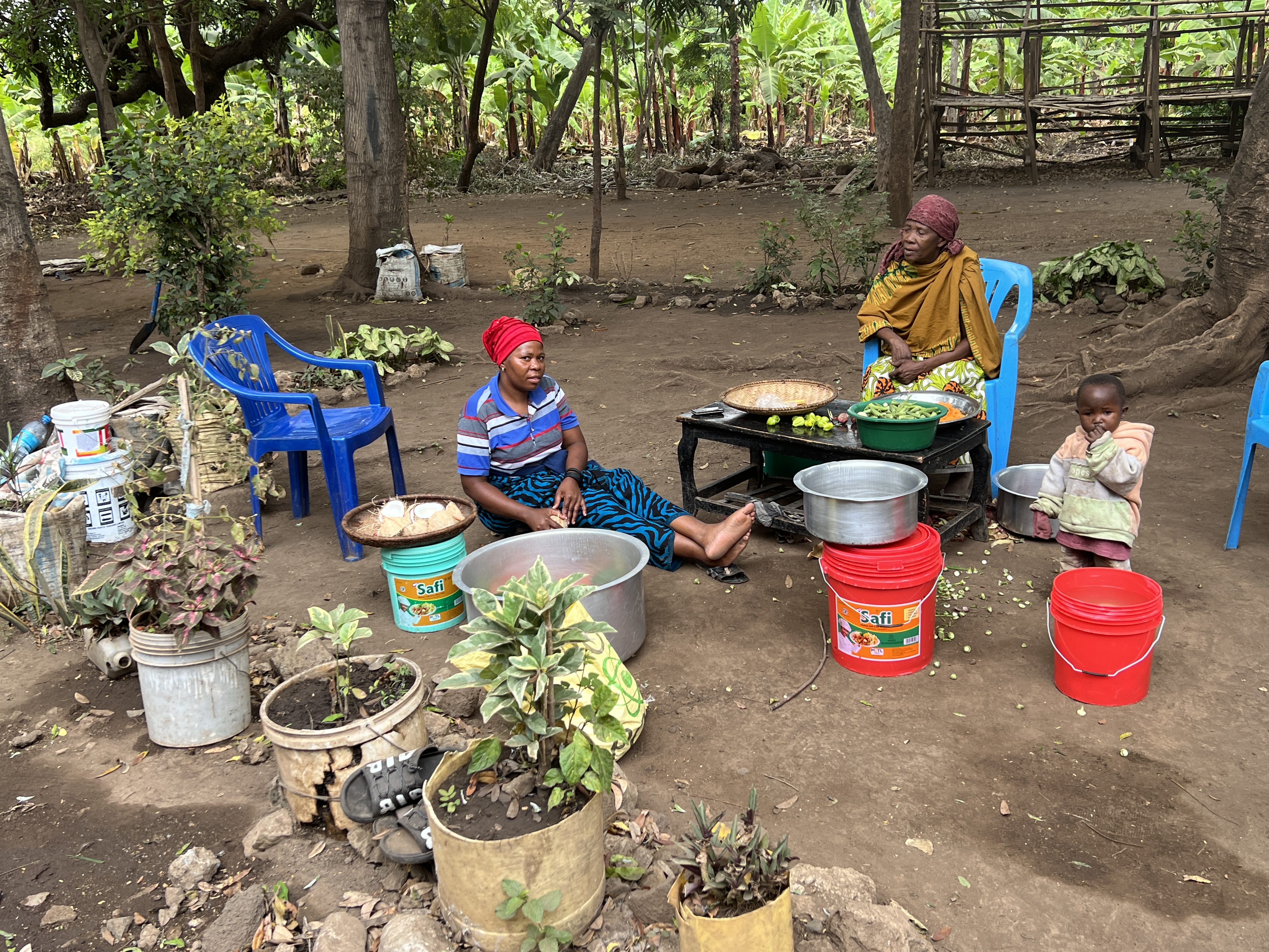
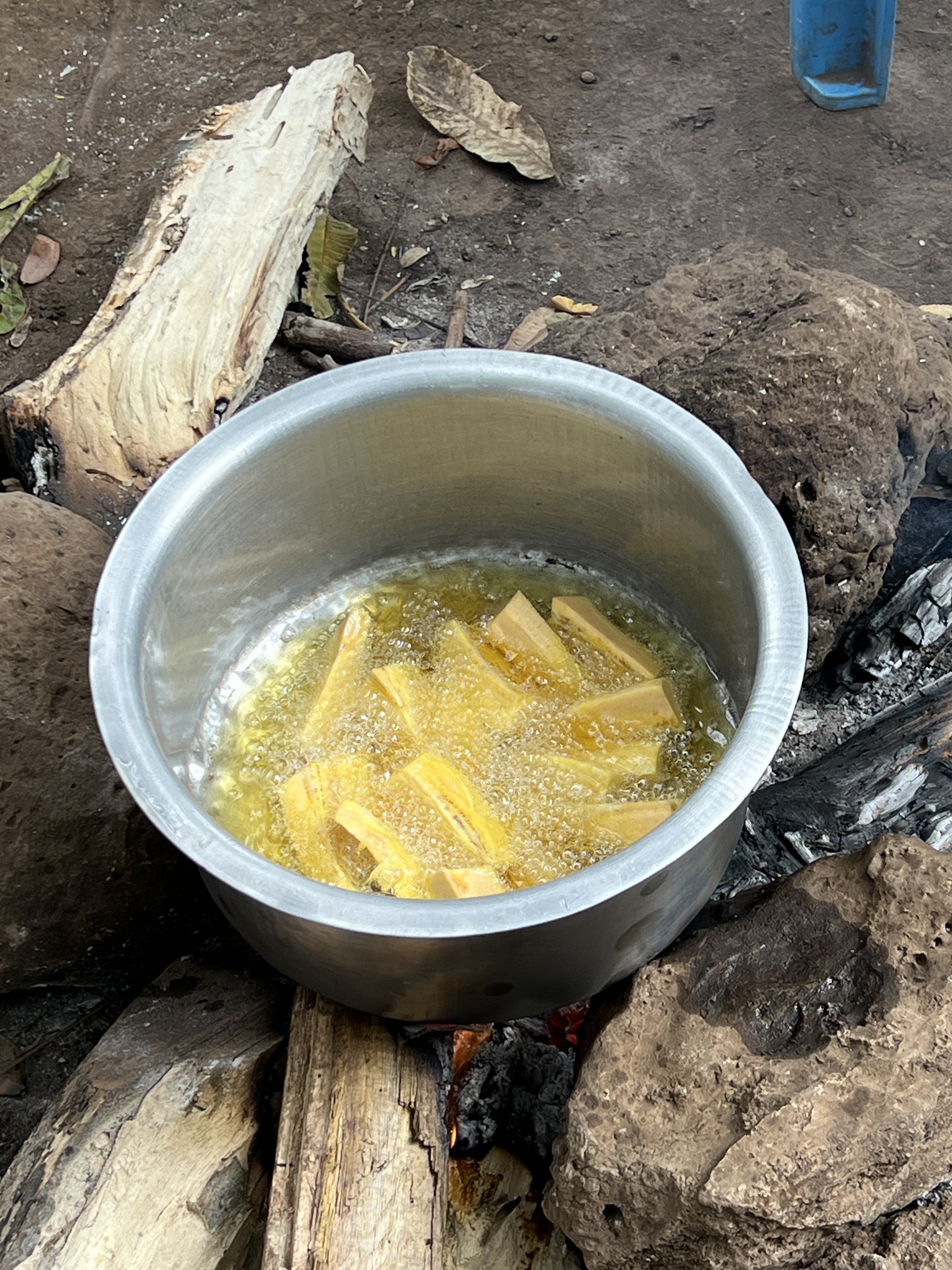
Enjoyed a ‘traditional’ lunch in the village setting. Open hearth cooking of slow cooked meats and vegetables. A bit like our camp oven cooking over open fires.
One interesting feature of the lifestyle was the great number of partly completed block homes. Apparently, families will build a basic shell and will only complete additional rooms as they can fund them. Little borrowing! A variation of the Aussie extension idea. In some cases they will have initially built a mud house and will then move on to a block house.
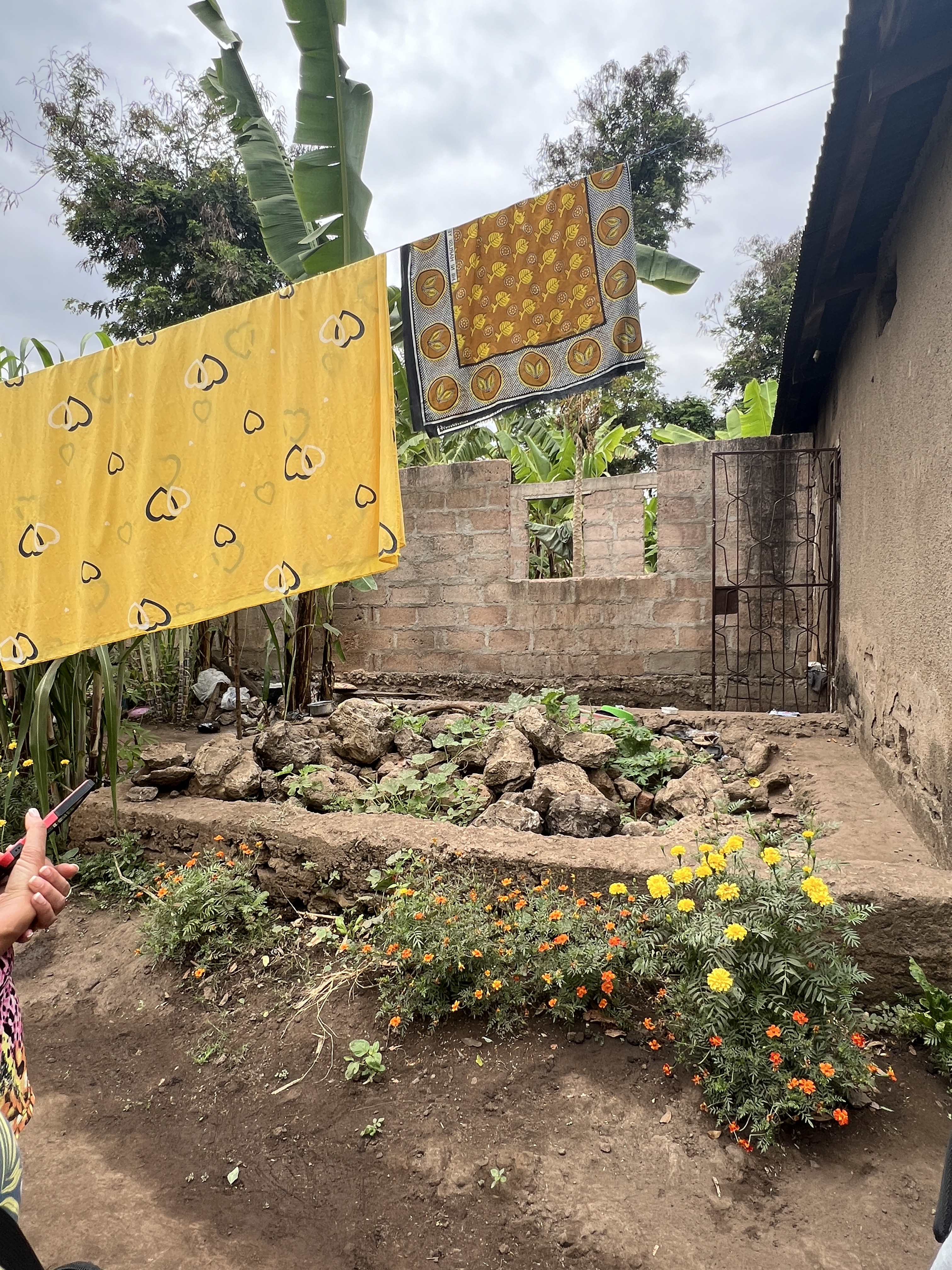
This absorbed an interesting three hours or so of interaction with the locals, who all seem to have a smile and a happy disposition. Very welcoming.
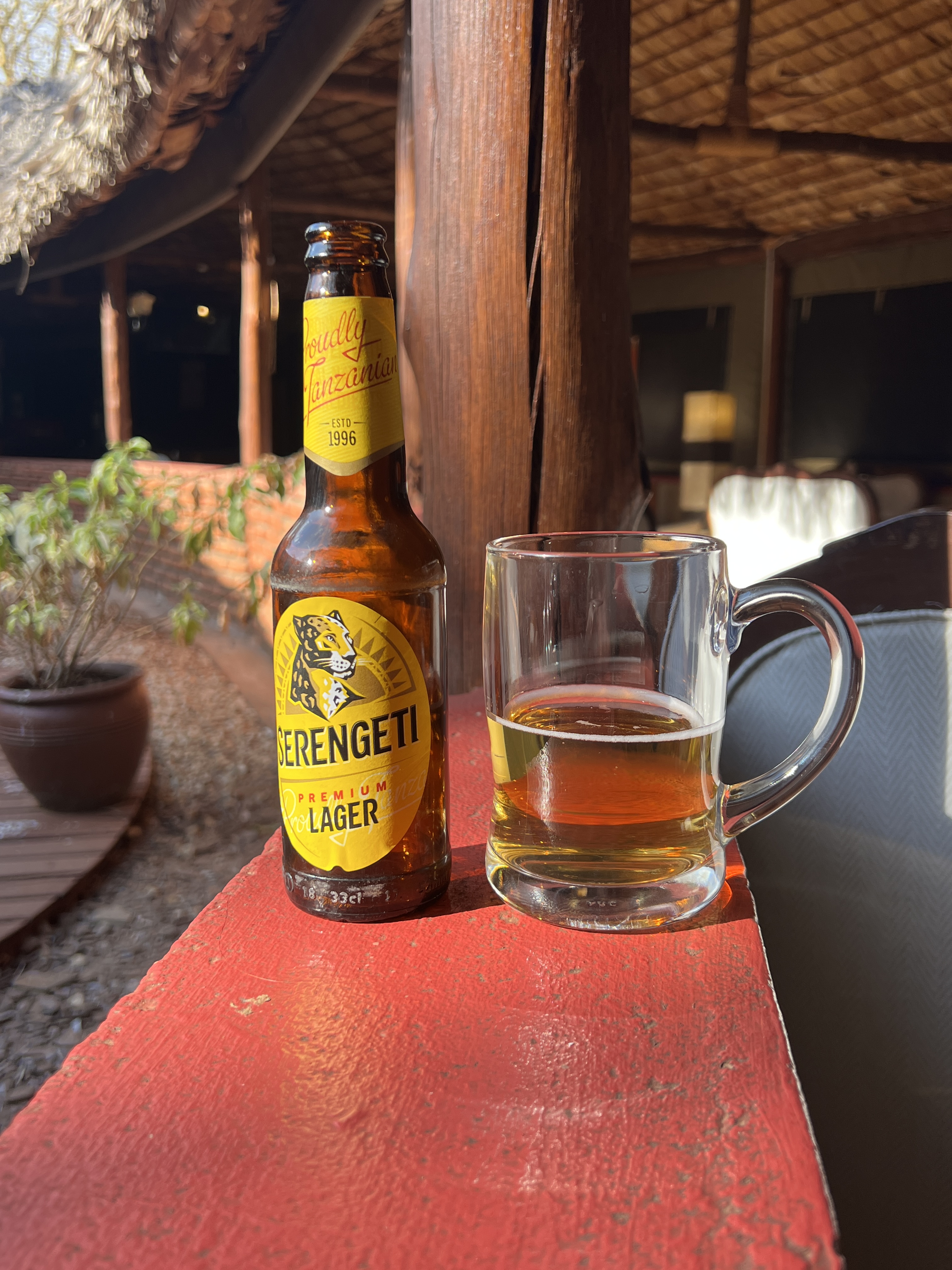
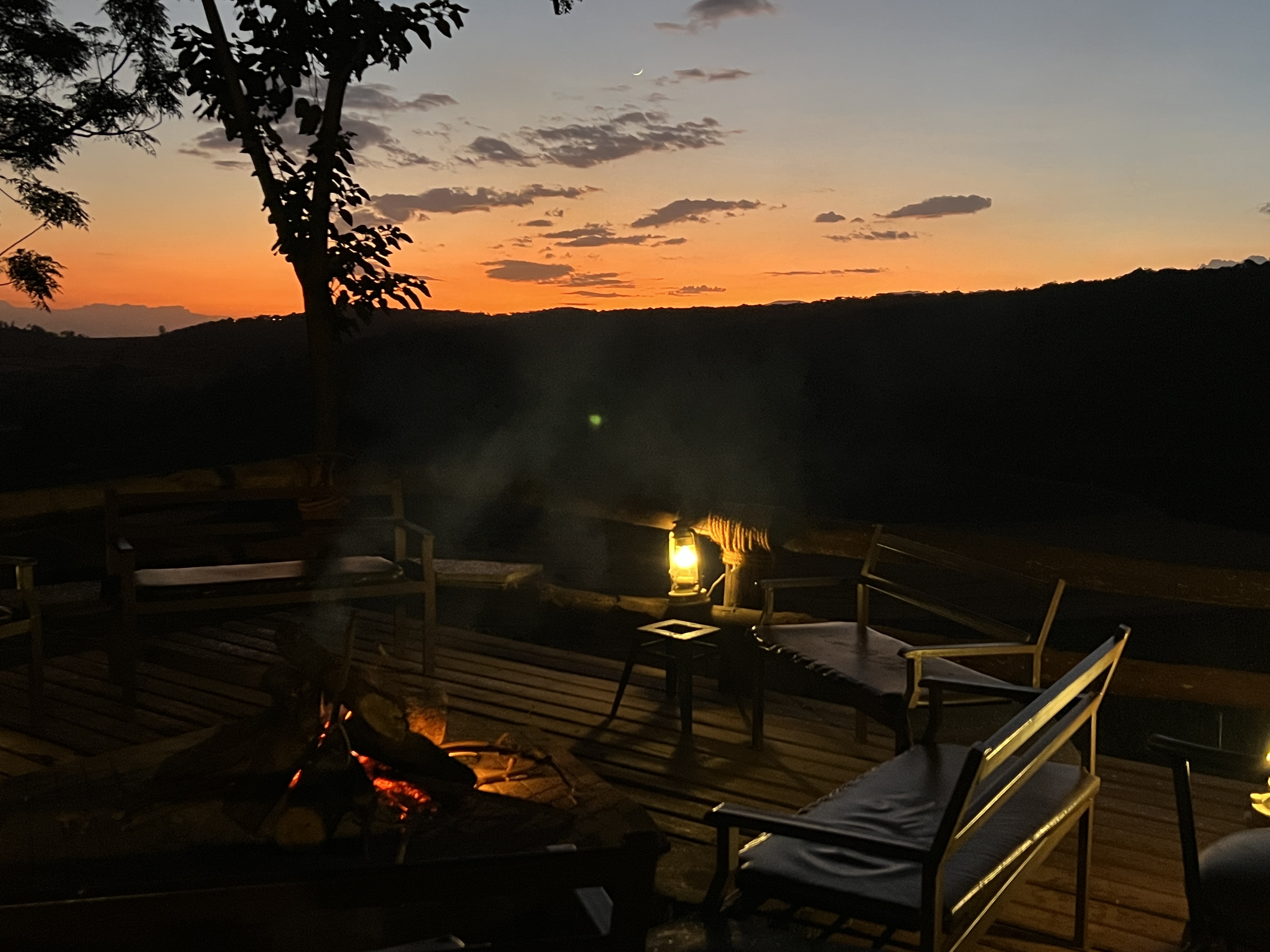
Back at the lodge we had some quiet time ahead of the next leg of the Tanzanian section of the trip taking us through Ngorongoro crater and into the Serengeti.
Manyara NP
We have left Tarangire NP and moved north to the area around Manyara NP. It is in the low land area below the foothills of the Ngorongoro Crater. Here is a mud map of our journey, distance wise we are about half way through.
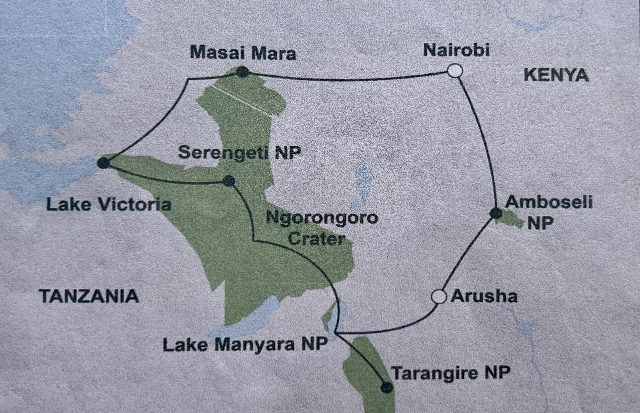
Manyara NP and the lake are known for a couple of things. The first is the tree climbing lion and the second is the flamingos of Lake Manyara.
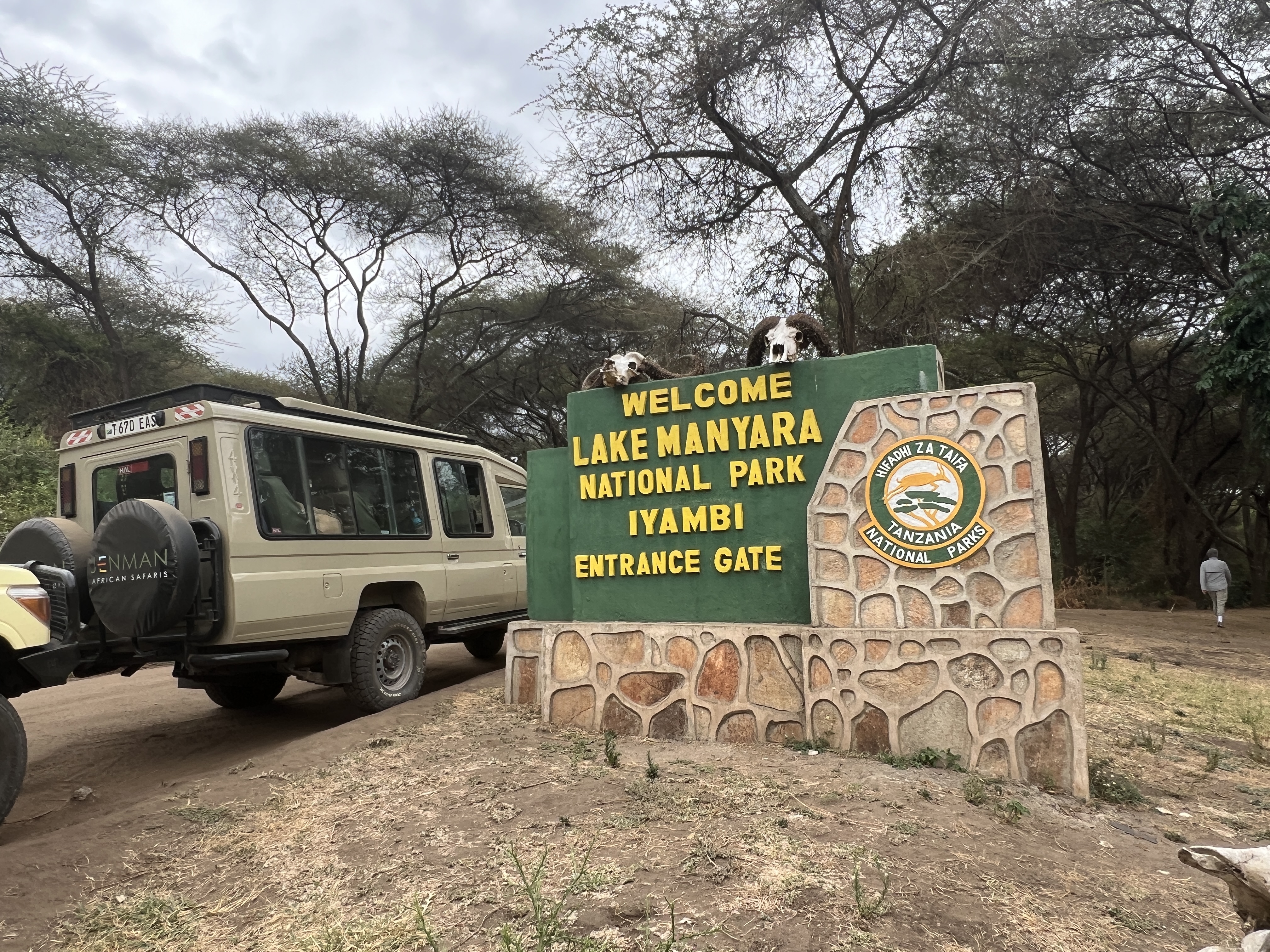
We entered the Park at one end and worked our way around the lake edge to the exit, enjoying a picnic box lunch along the way.
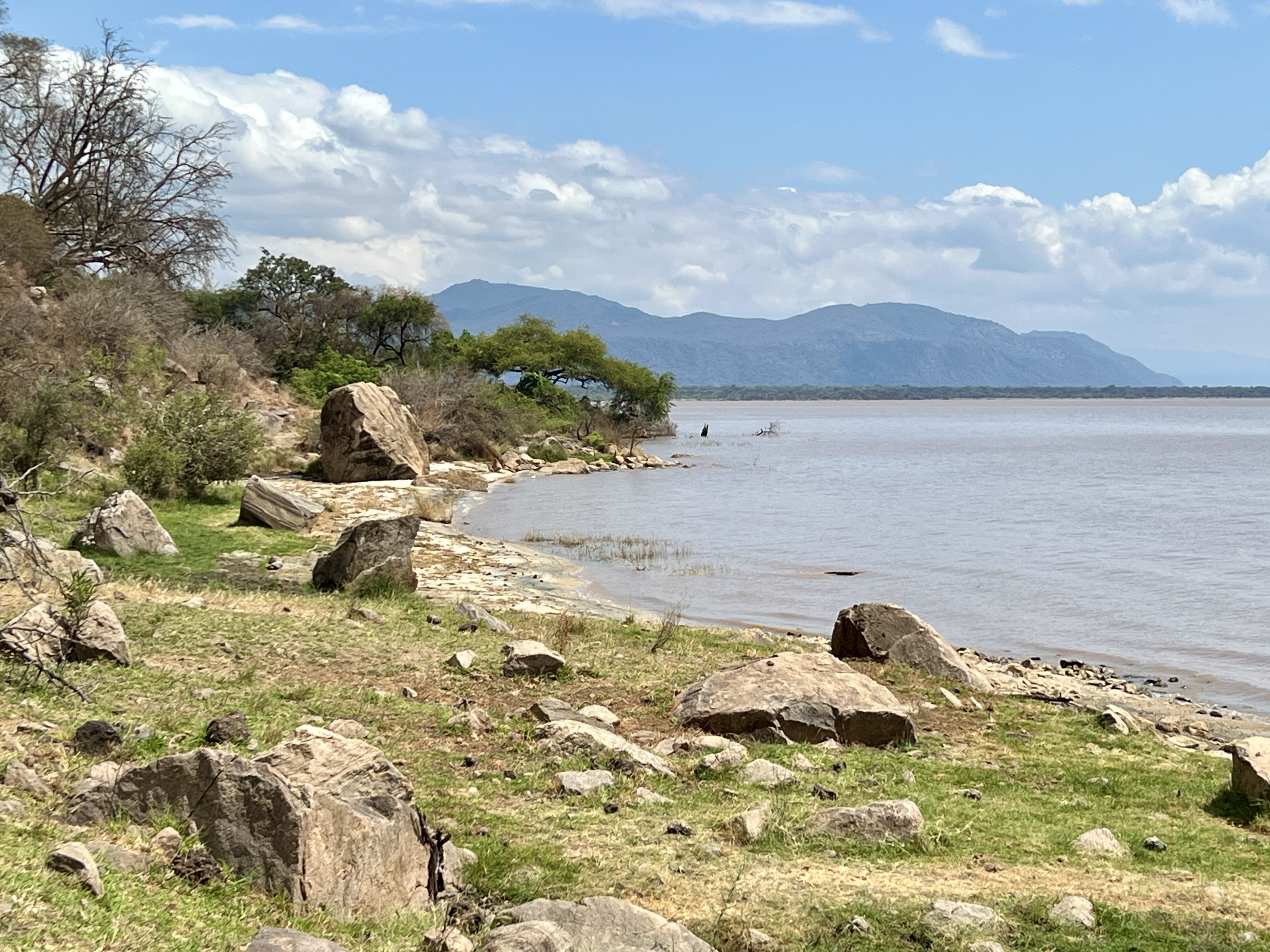
We found this game drive a little disappointing as the climbing tree lions did not appear. Sam, our guide, had not seen one for a couple of years and said they were very elusive. Maybe moving further into the park and away from the tracks.
The flamingos were also no where to be seen, had cleared out of the area. Sam noted this appeared to be the result of the expansion of the lake due to increased water inflows. Water was advancing across the lower areas of the park, submerging former wading grounds. Many of the tracks were also underwater and new ones were being cut.
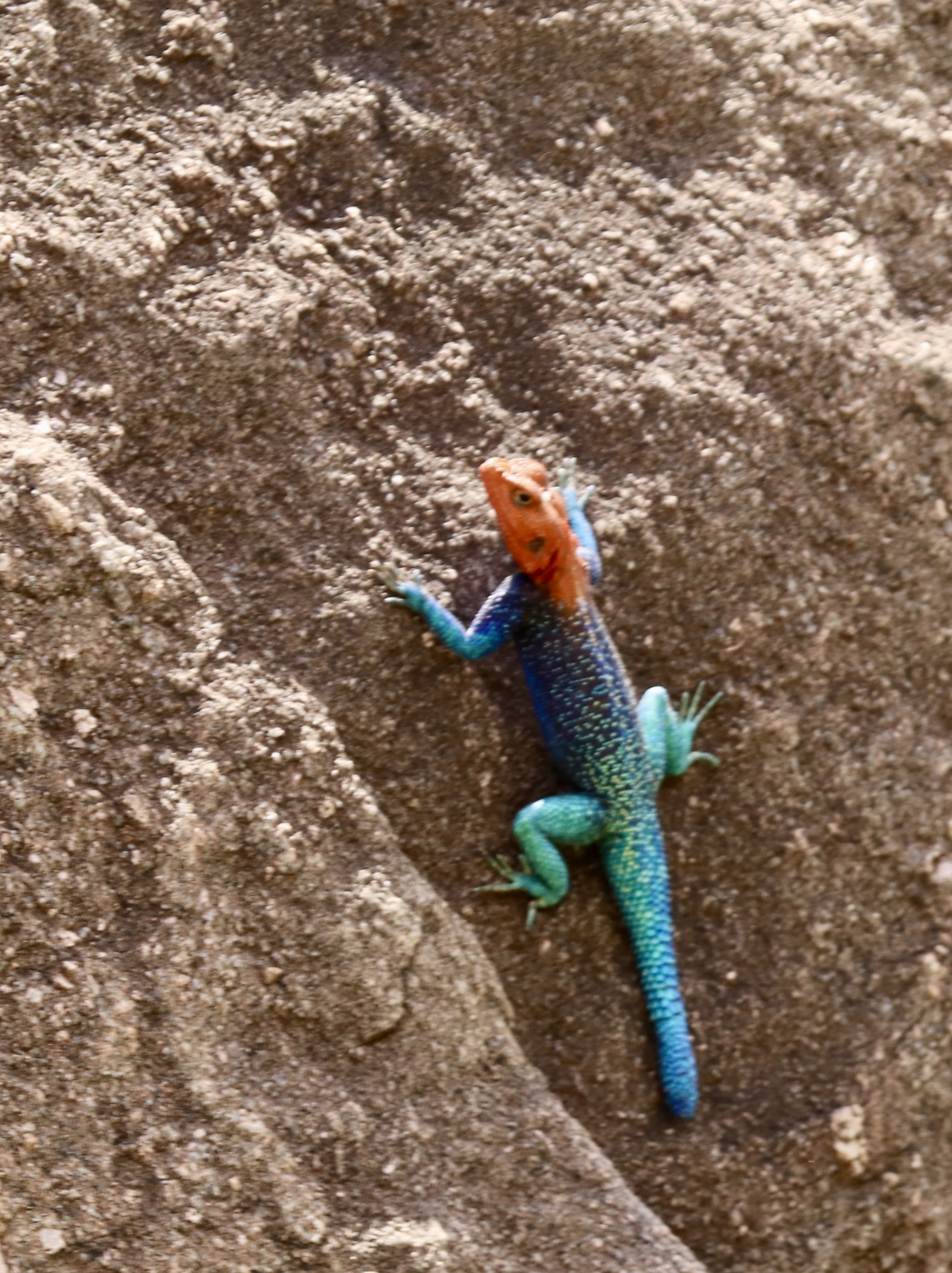
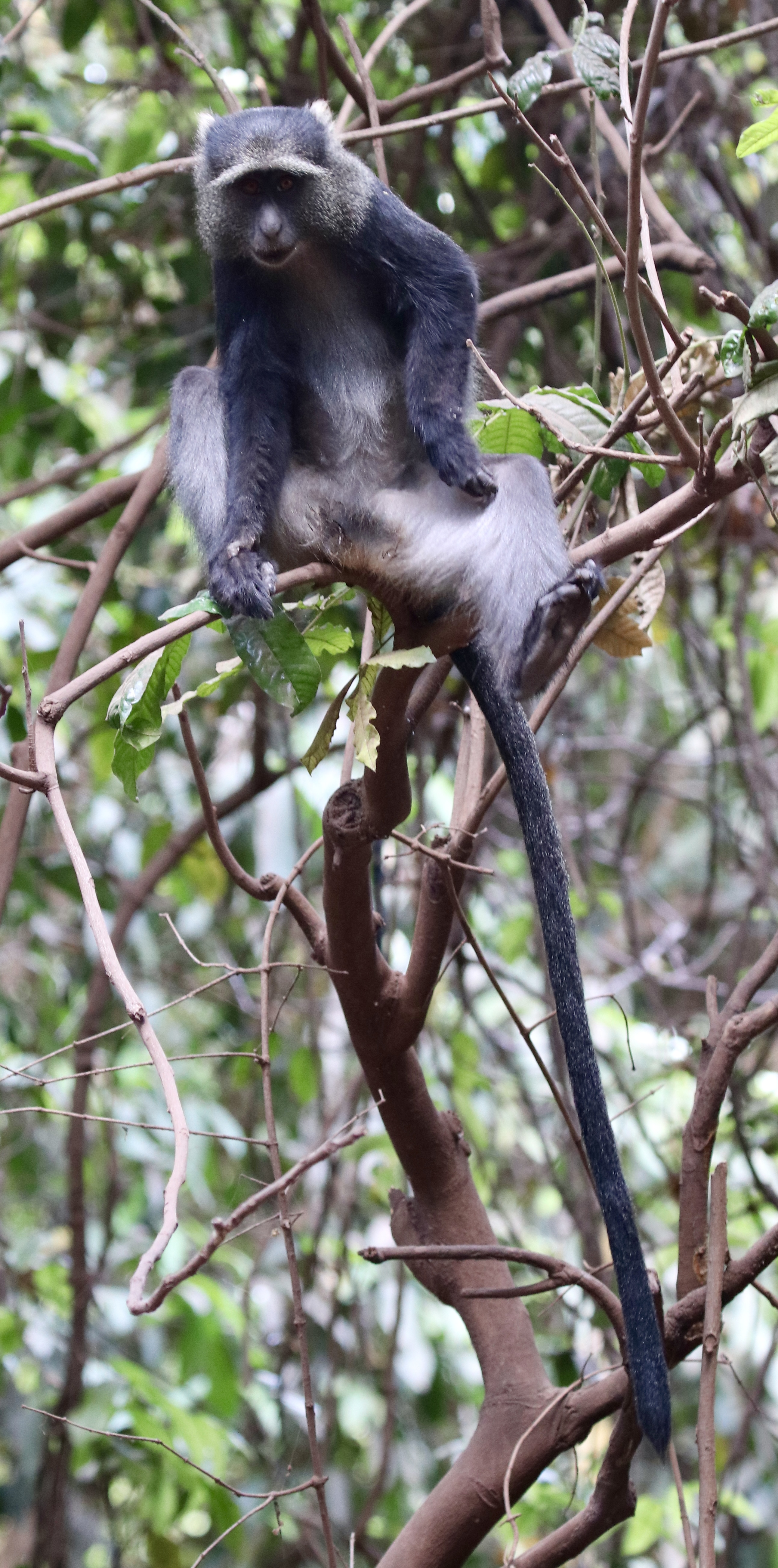
Despite this disappointment we found that Africa seems to give up something new to see and the landscape always surprises. A multi coloured lizard adorned a rock and a blue monkey swung among the trees.
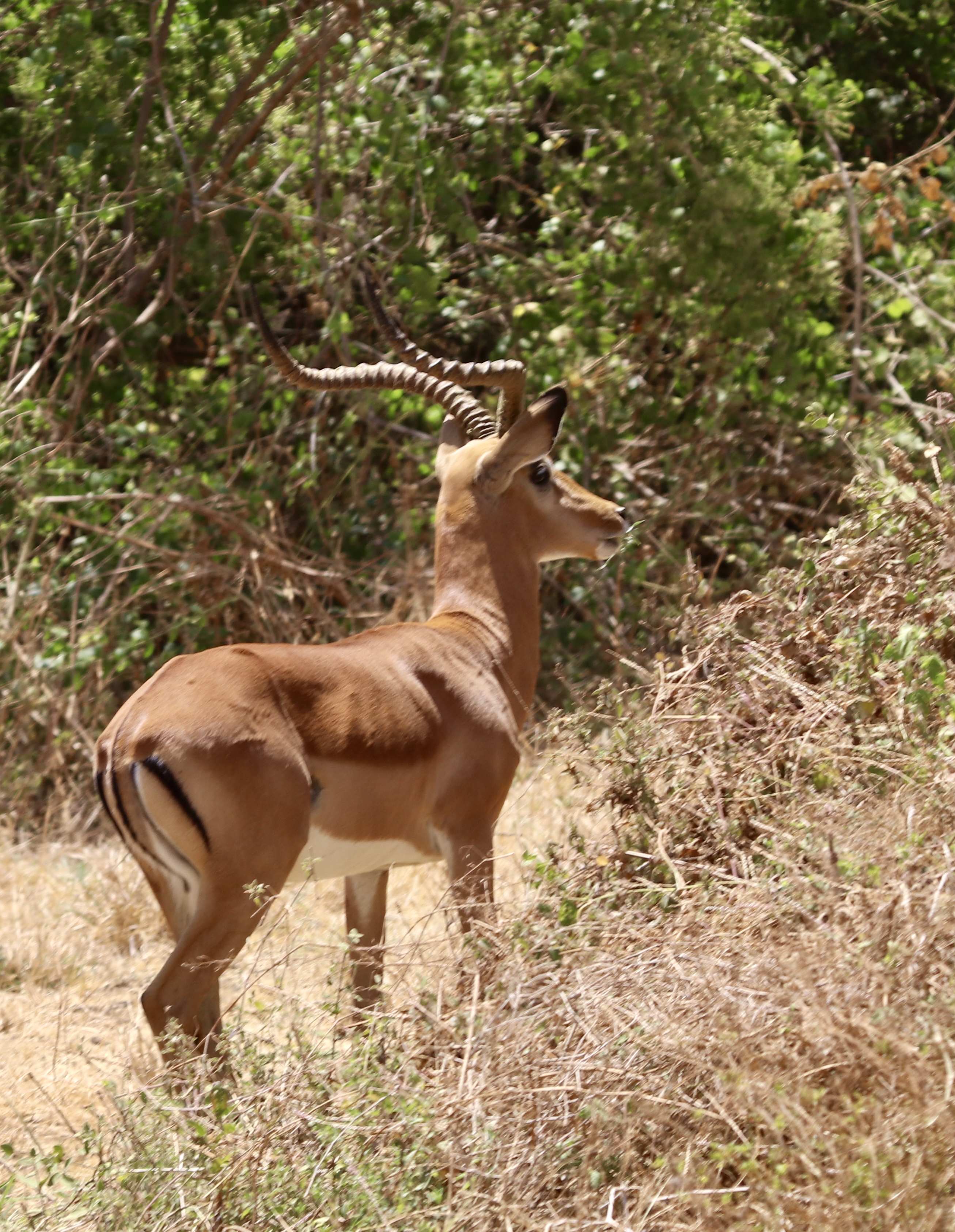
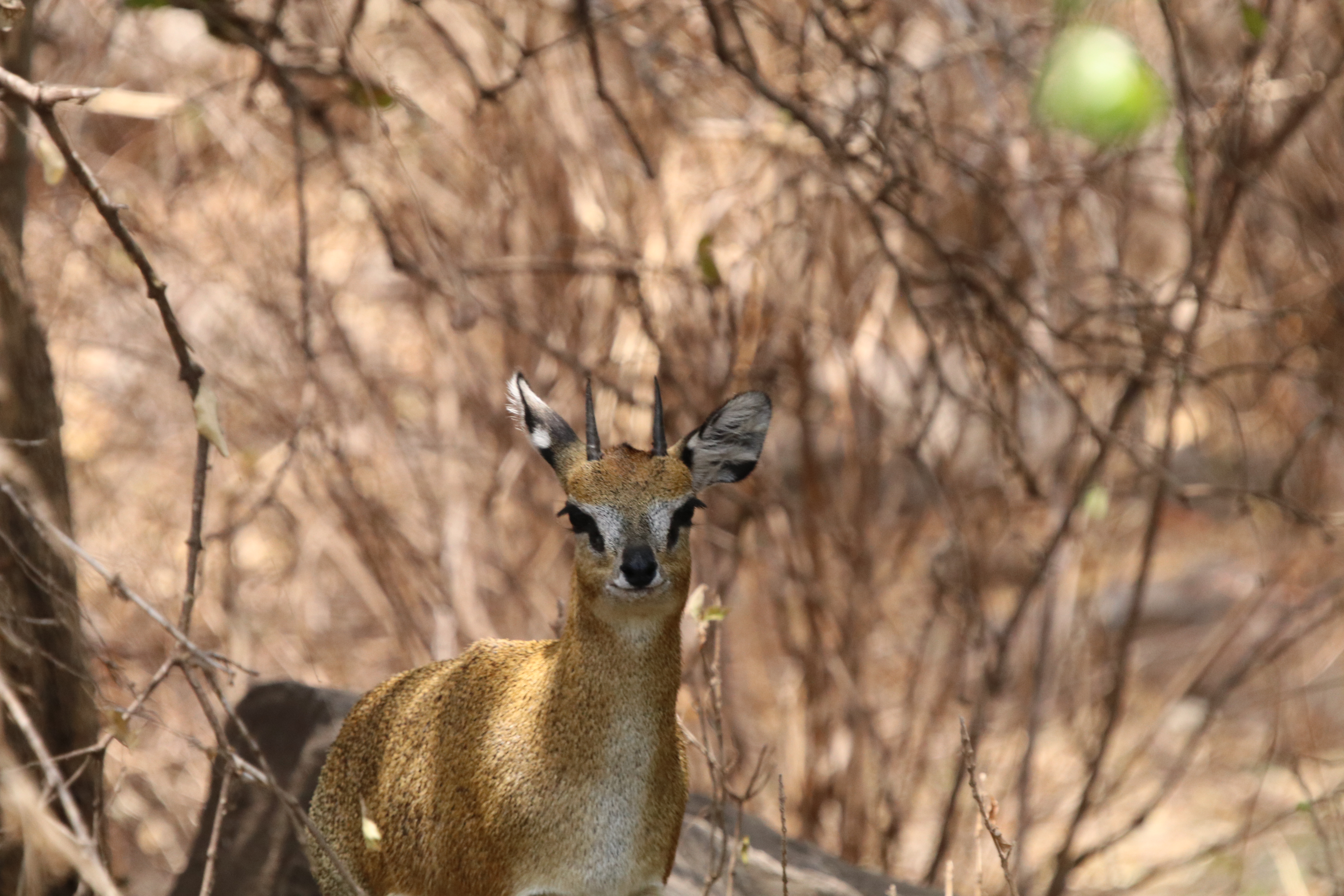
Some of the usual suspects, elephant and antelopes, found homes in the thicker vegetation. Warthogs enjoyed the wetter environment.
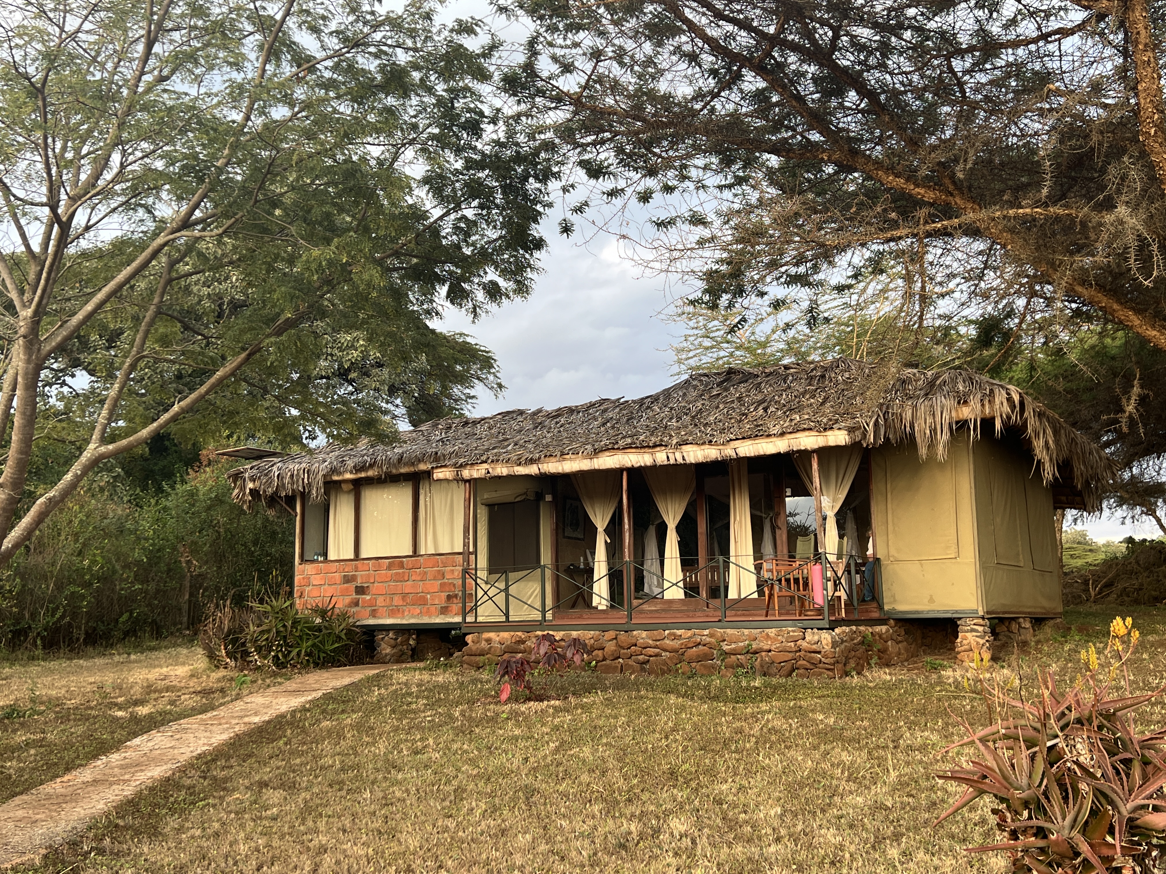
We made it out of the park late in the afternoon to our next lodge for a couple of nights, higher up the foothills of Ngorongoro Crater.
Tarangire NP
From Arusha we made our way south to Tarangire NP. Bit of a rat race getting through the Arusha CBD and out the other side. Mini buses, motor bikes, bicycles and three wheelers all jockeying for position. Road rules?
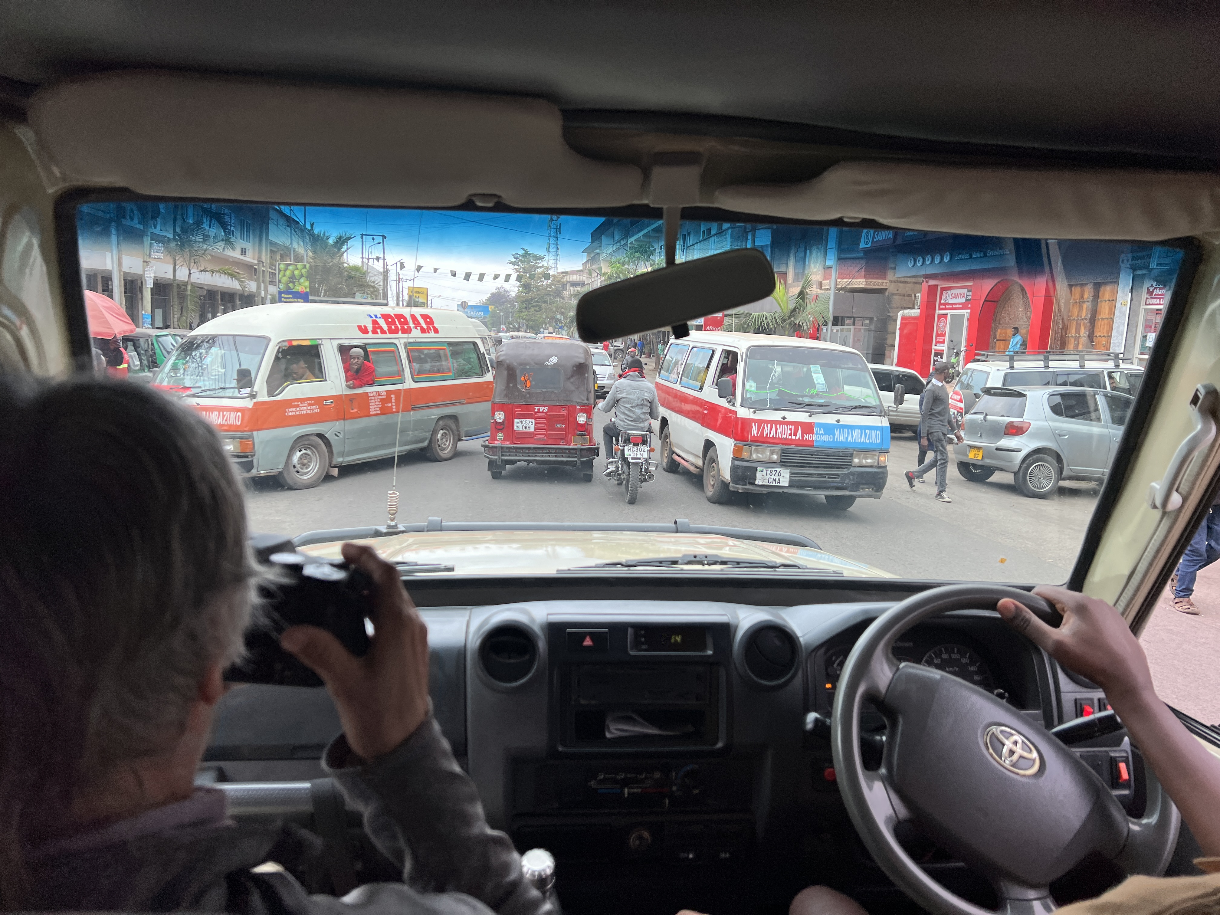
Once out of the town outskirts the traffic thinned out and we made good time to the Park arriving mid morning.
The weather continued to be overcast with patches of blue and sun from time to time. The park is famous for two things. Its very large elephant population and the numerous boabab trees, we call them boab trees in Australia.
We came into the park at one end and meandered to the other end for the rest of the day, stopping for a picnic lunch along the way.
In the park we had an introduction to the tsetse fly. A small but aggressive fly that is attracted to the colours blue and black. It has a painful sting, delivered in a boring action rather than a prick (like a mosquito). It can cause debilitating sleeping sickness. Blue and black ‘flags’ adorn the park as a control measure.
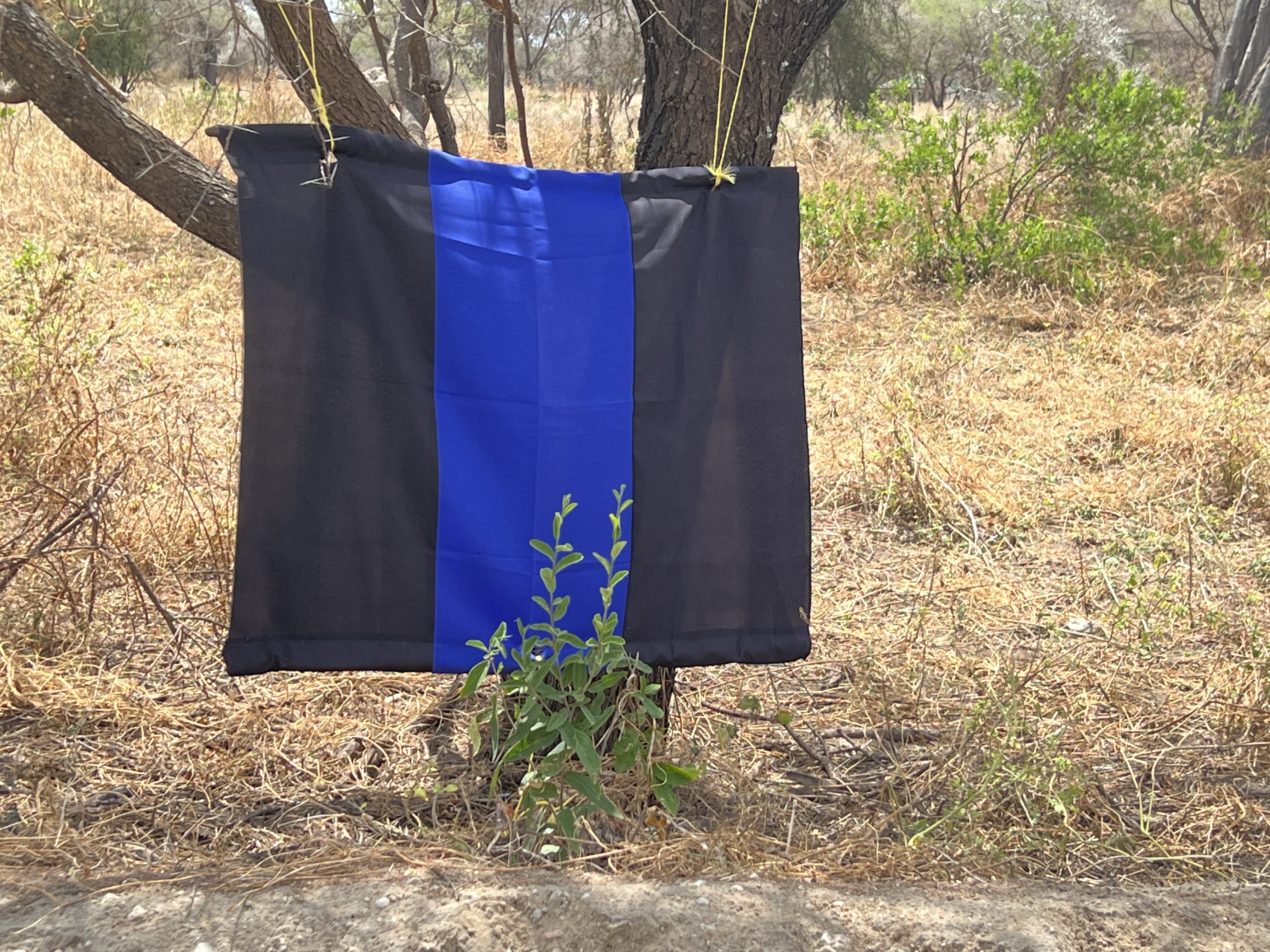
The night before we had been warned not to wear blue or black clothing, and to put some insect repellant on. Along the way a couple of the flies got in the truck and caused a bit of onboard agitation and fear for lives. Settled down eventually.

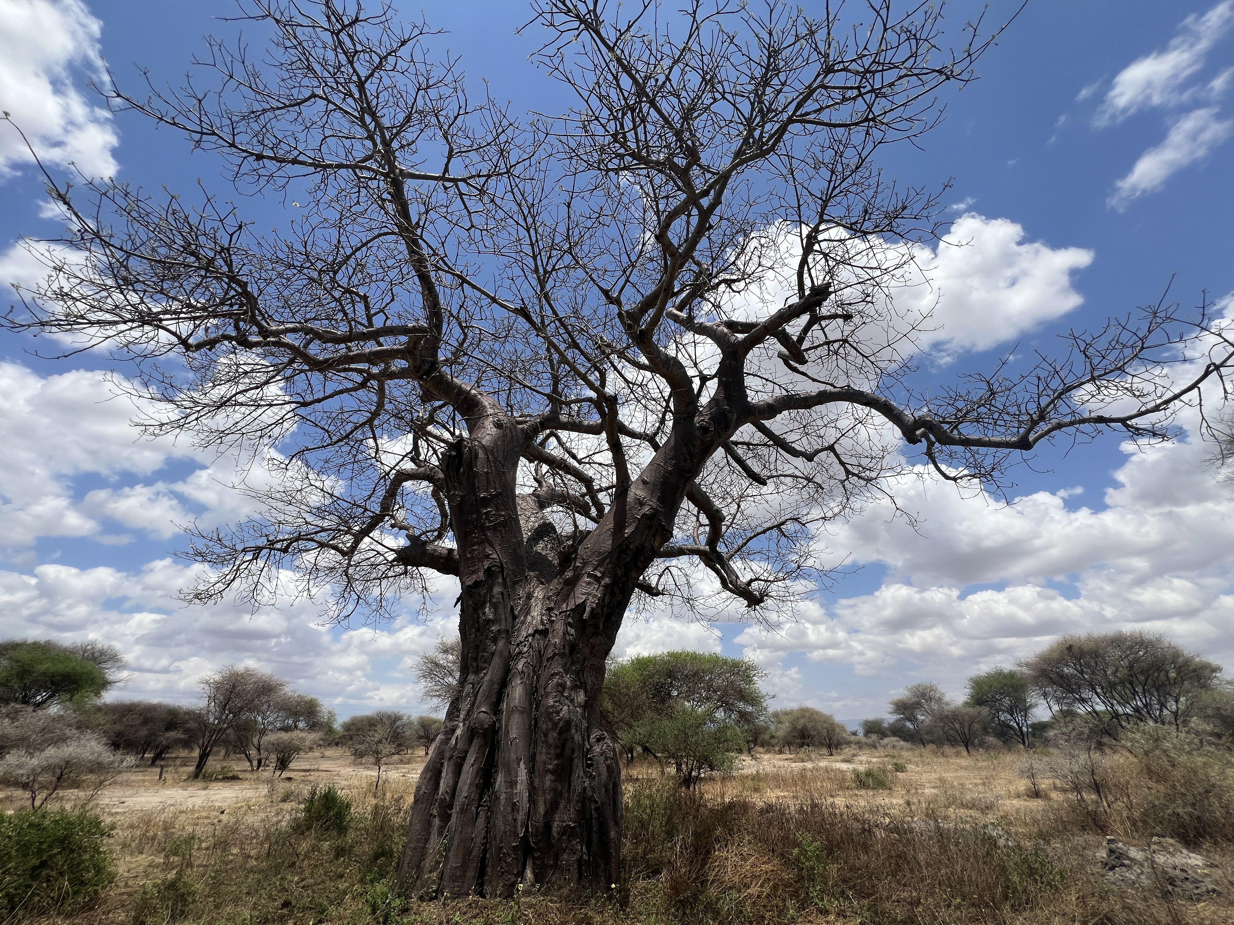
Strangely, we didn’t see many elephants. Boabs though were plentiful, from small to large. The acacia, umbrella like trees, dotted the grasslands. Quite a spectacular landscape.
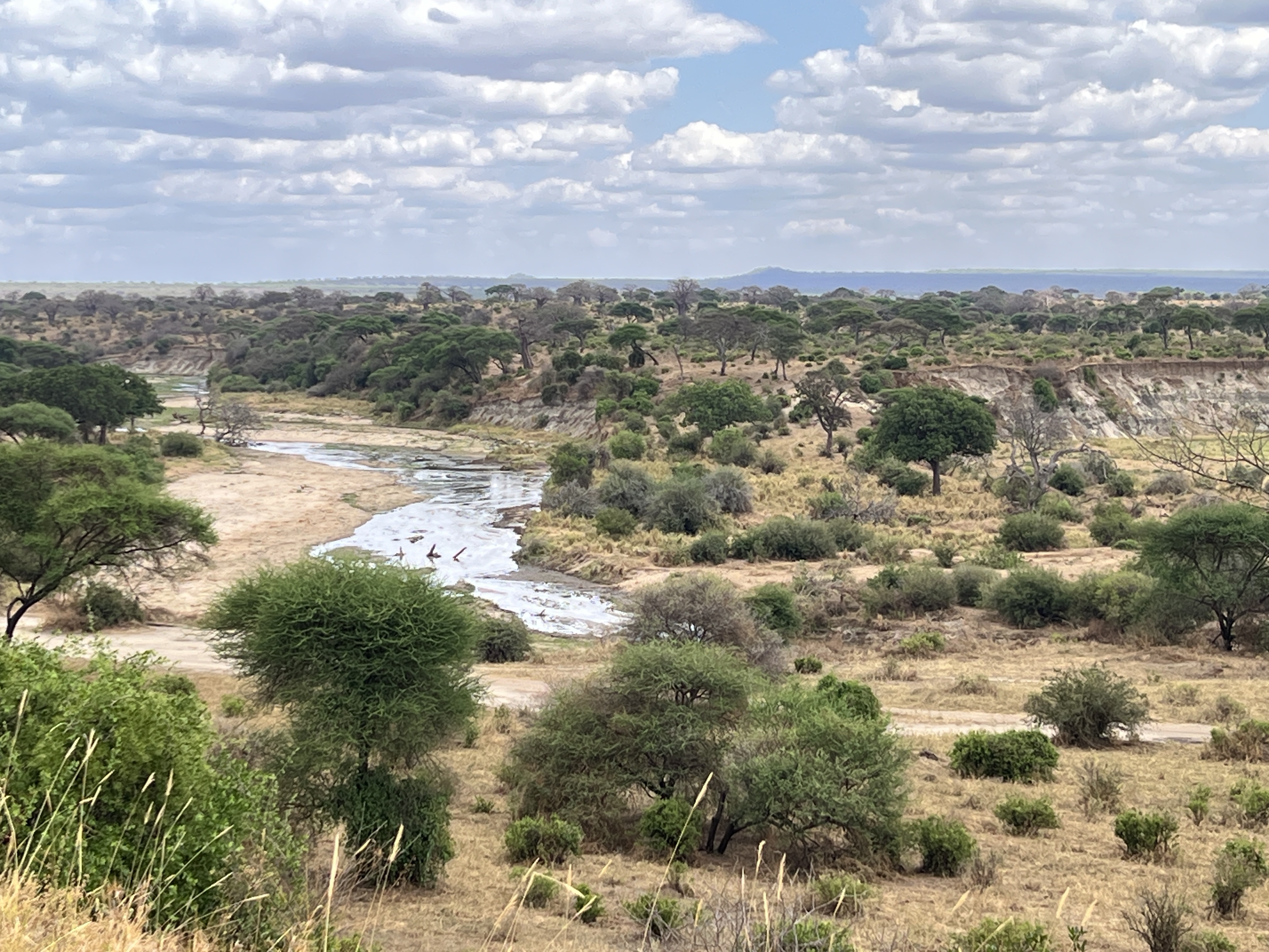
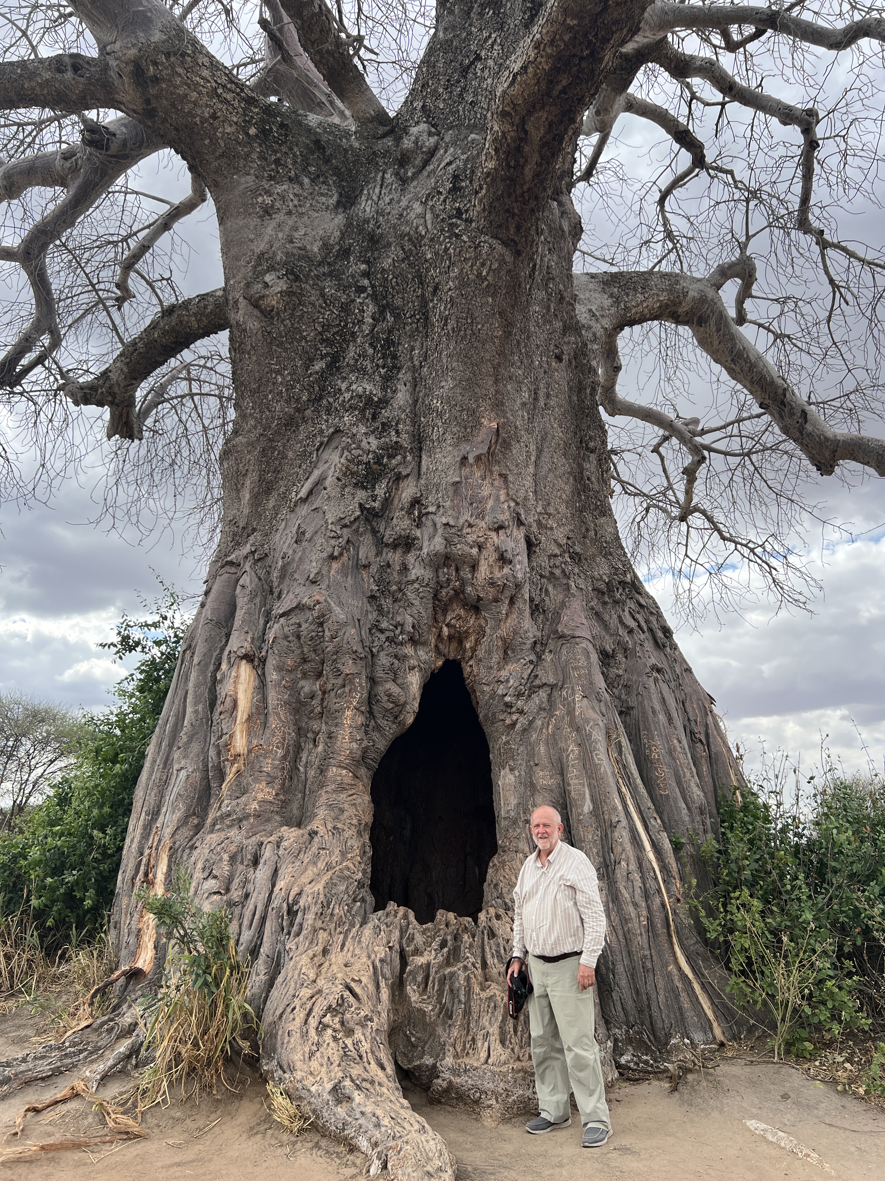
The usual suspects made regular appearances; giraffe, zebra, antelopes of various types. There was a good sighting of a warthog enjoying a mud bath and ‘galloping’ away as we appeared.
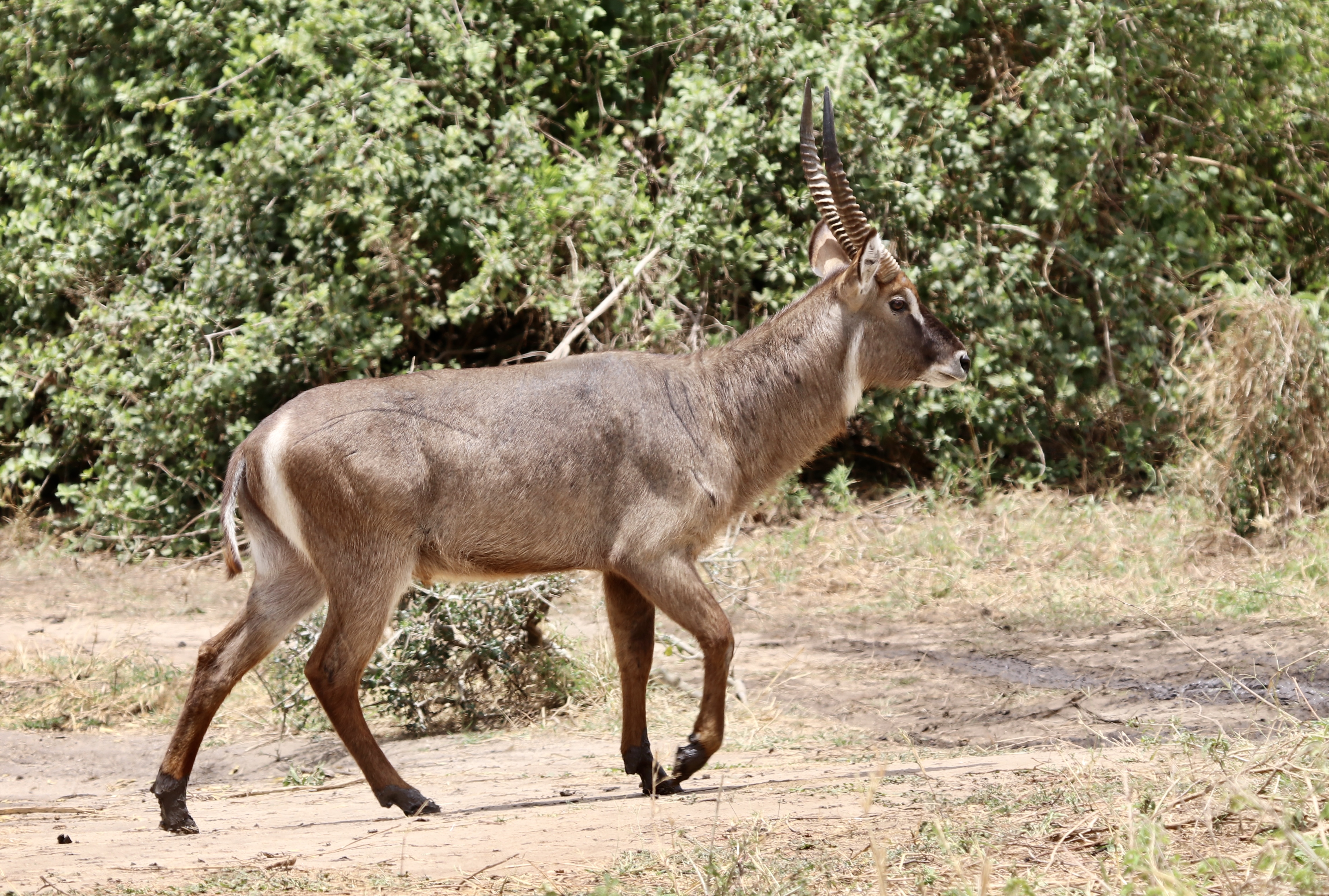
Waterbuck, males have the horns.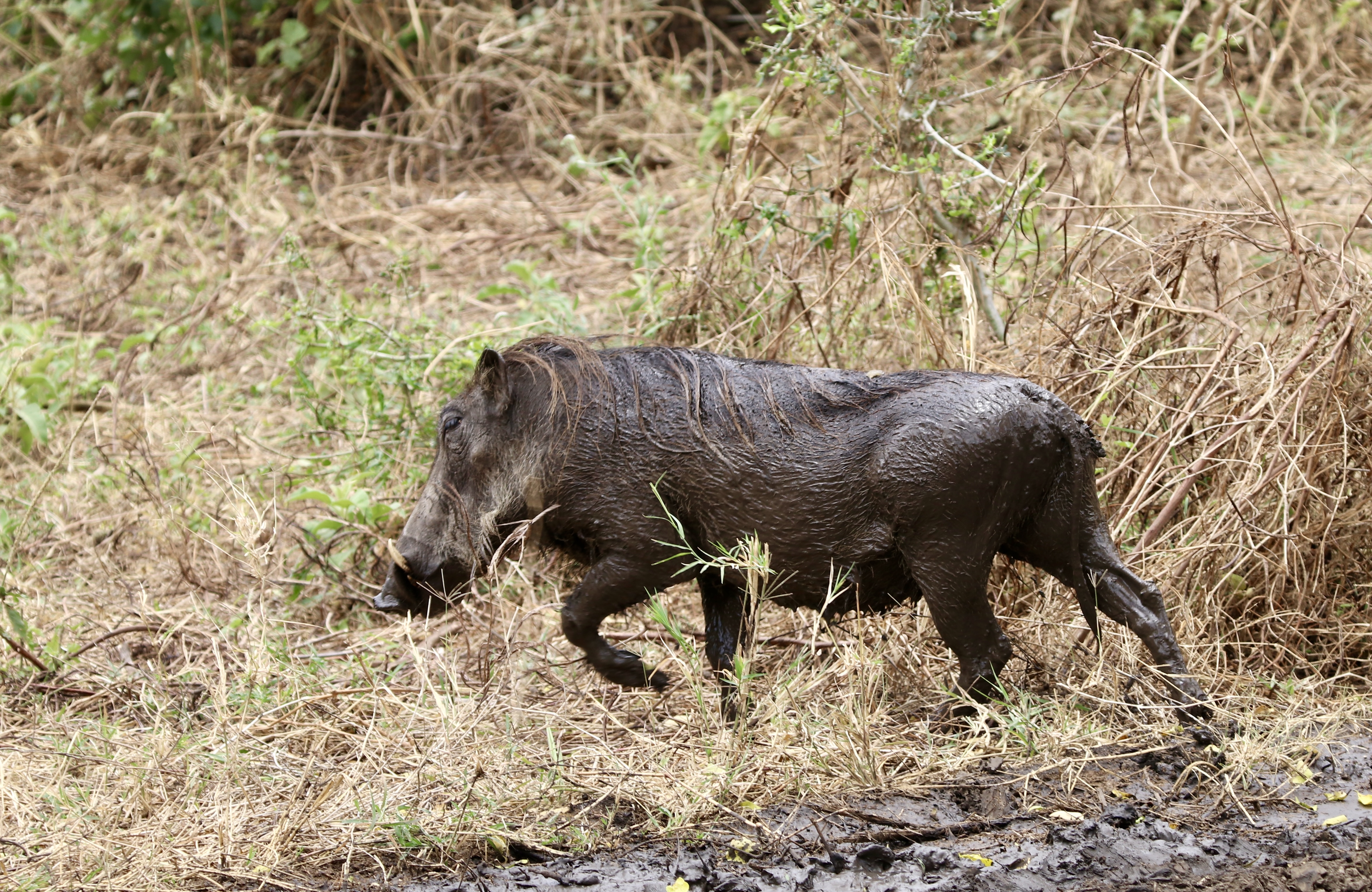
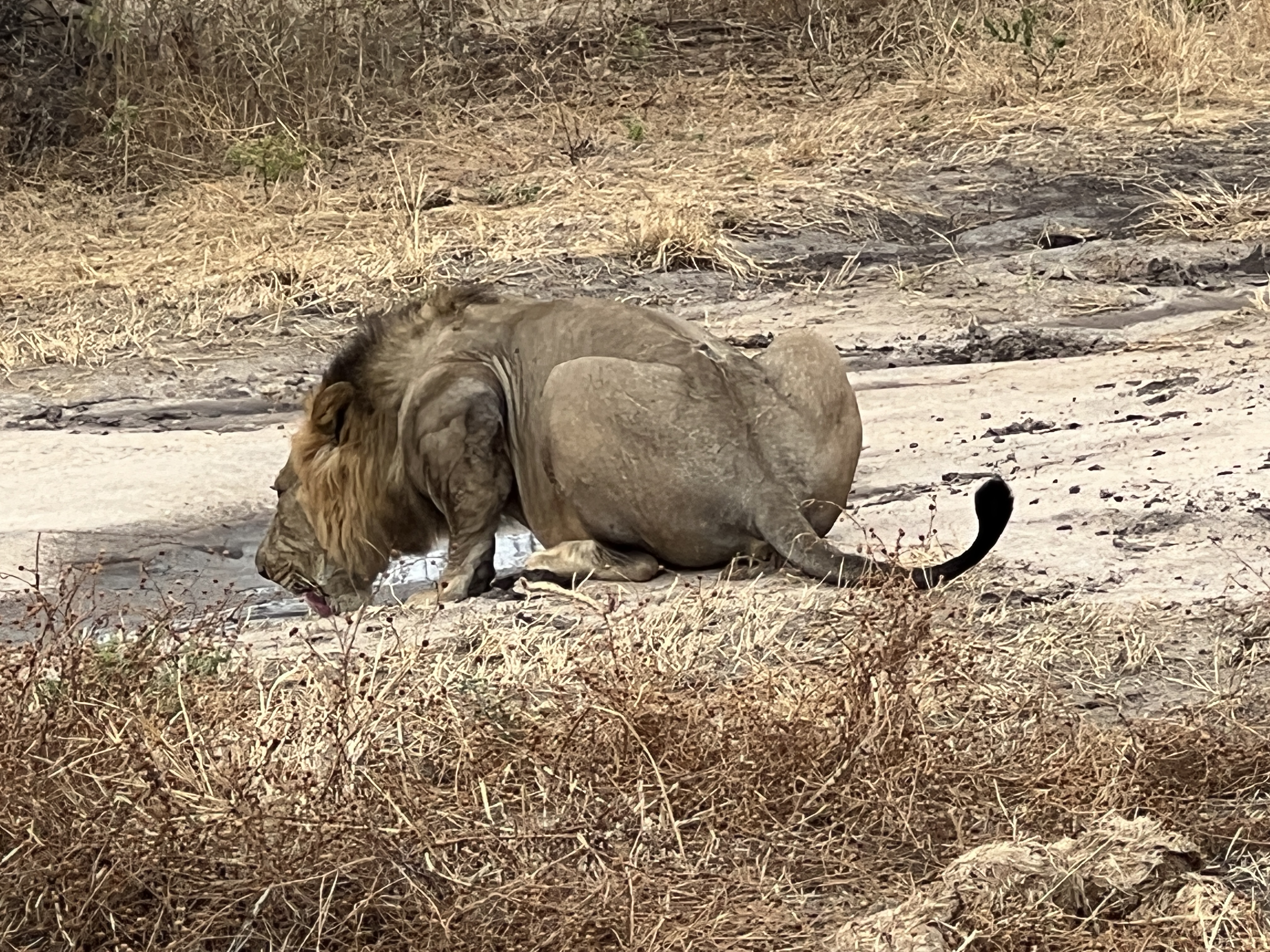
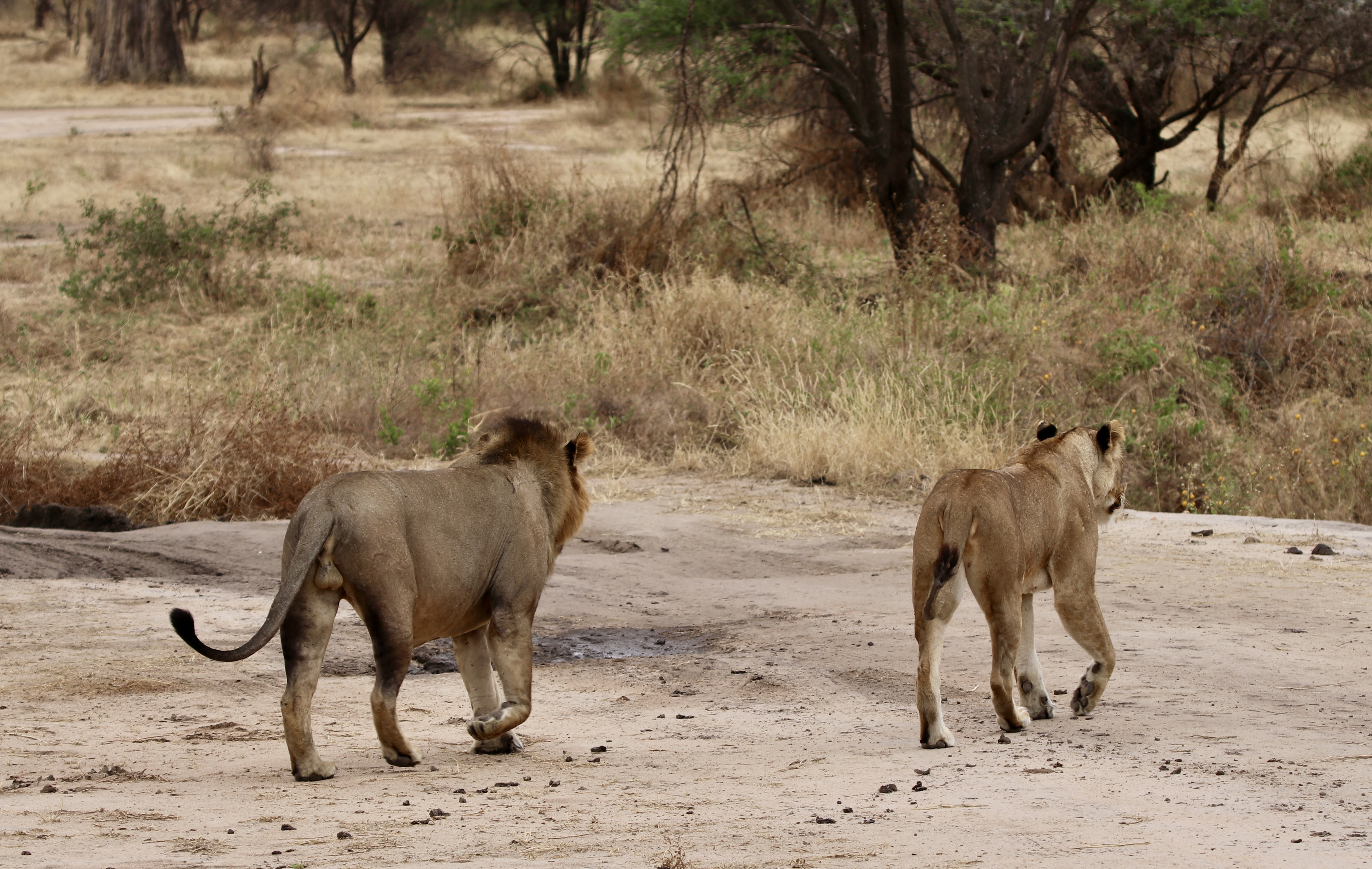
After catching sight of two lions away in the distance we rounded a corner to face a male and a female drinking from muddy water puddles on the track verge. Not disturbed they had their fill and then wandered off as if we weren’t there.

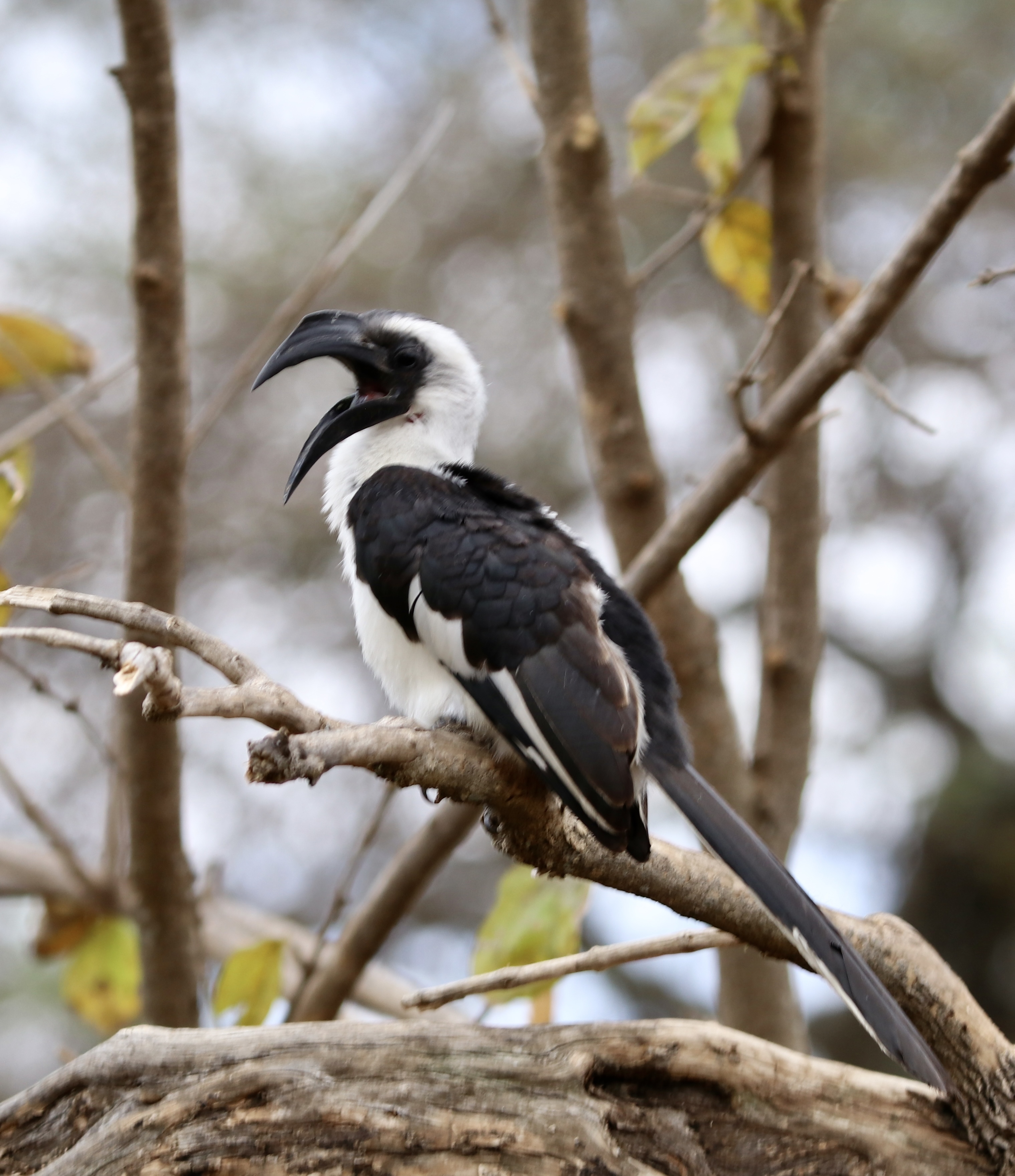
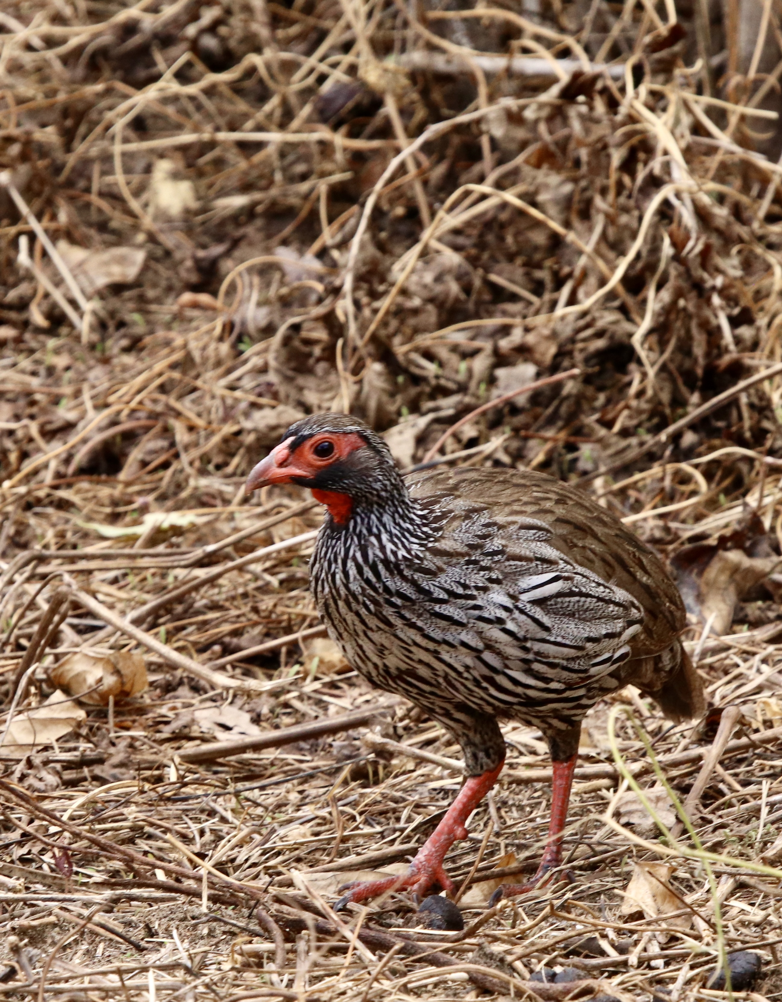
There was also a great variety of colourful bird life waiting for their pictures to be taken.
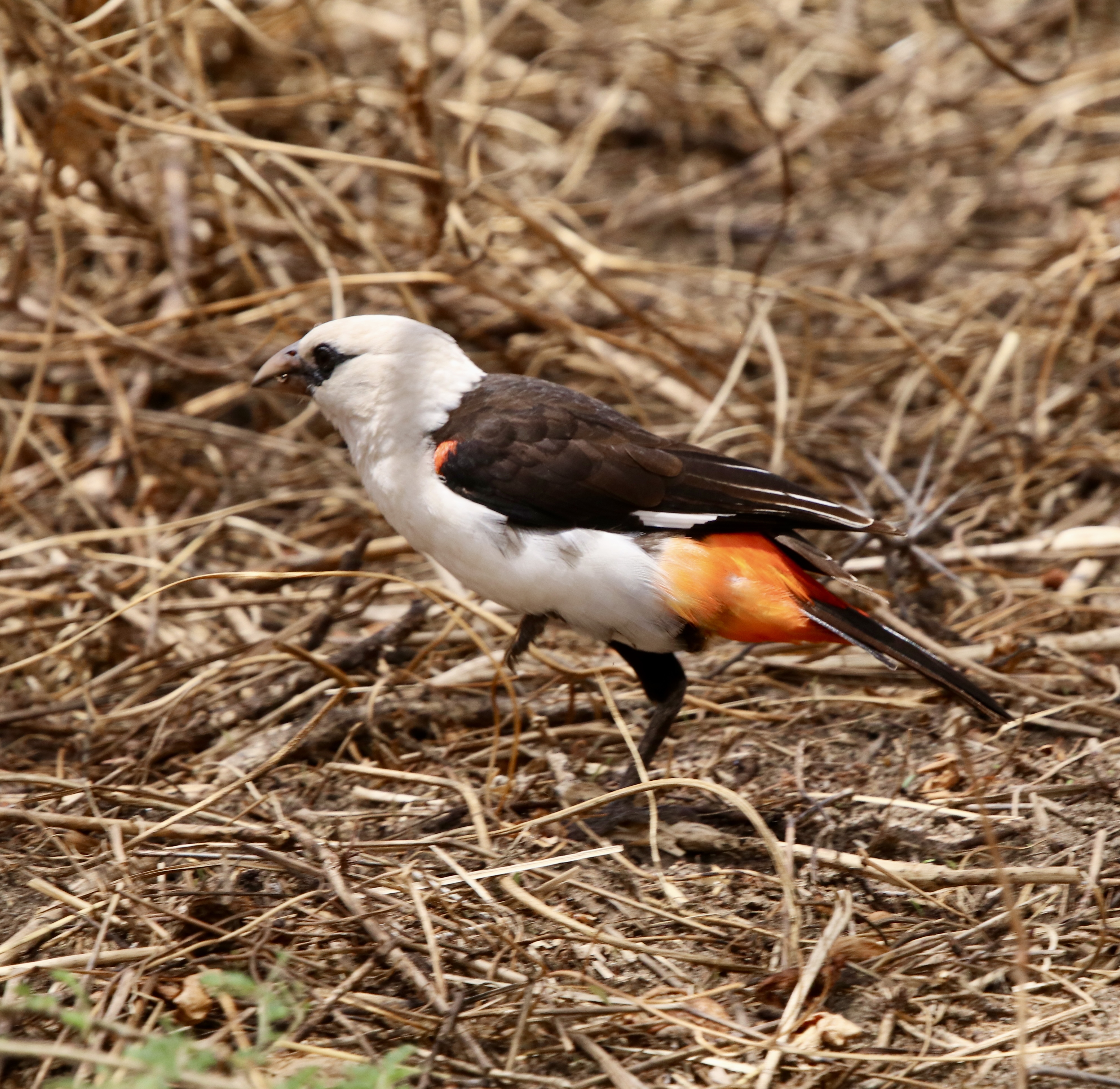
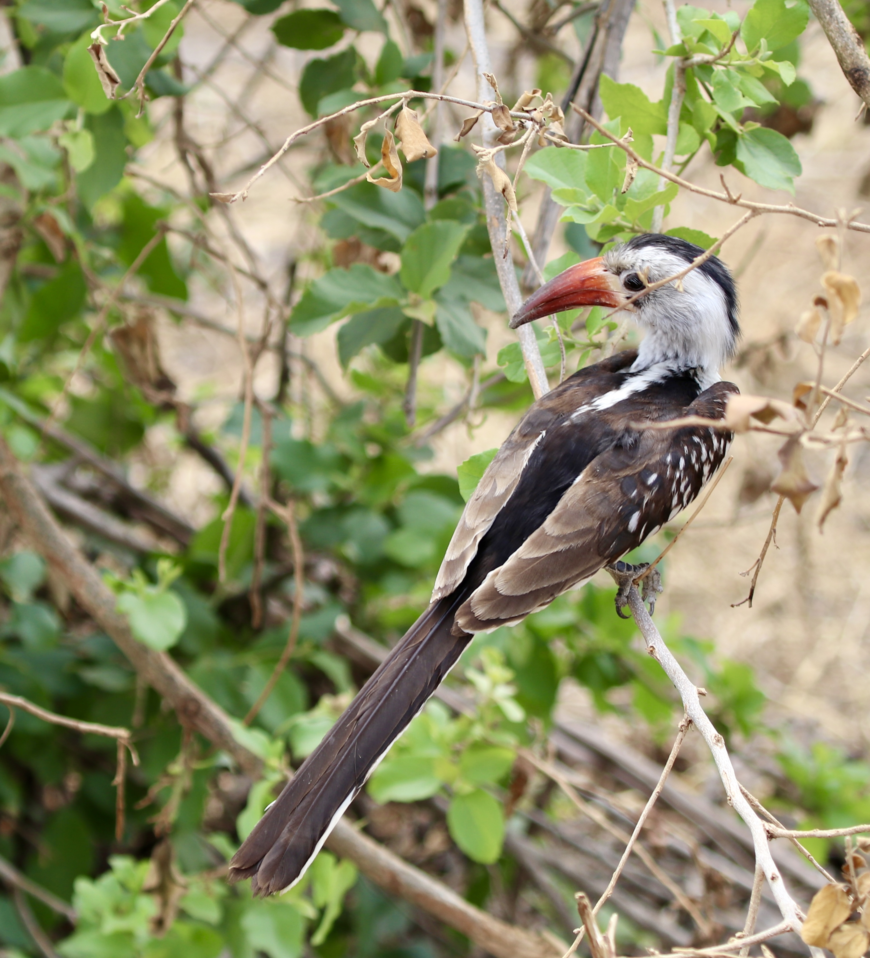
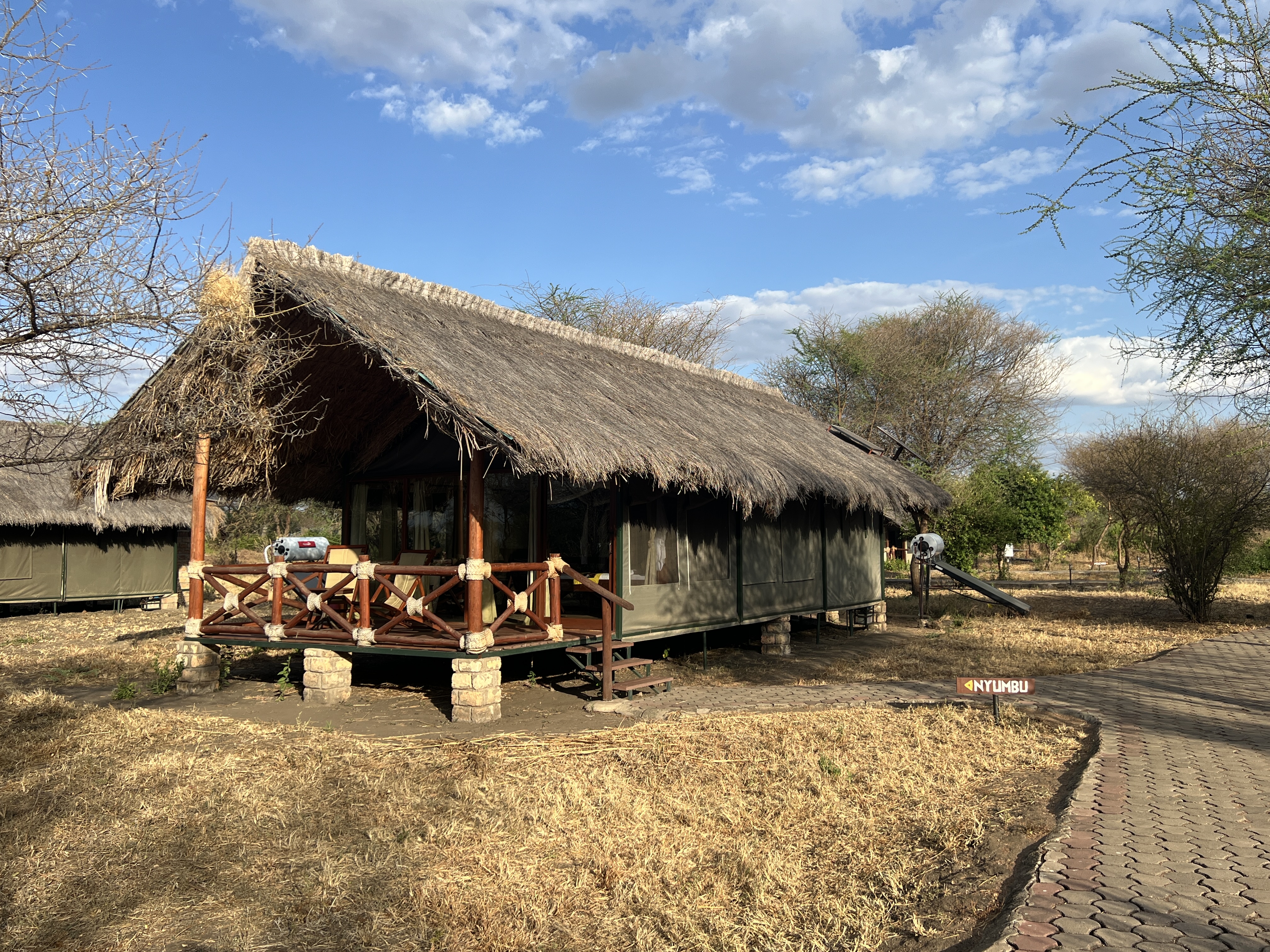
We made it to our lodge for the night late in the day and enjoyed a drink and chat with the others before brief shower sent us in for dinner and bed.
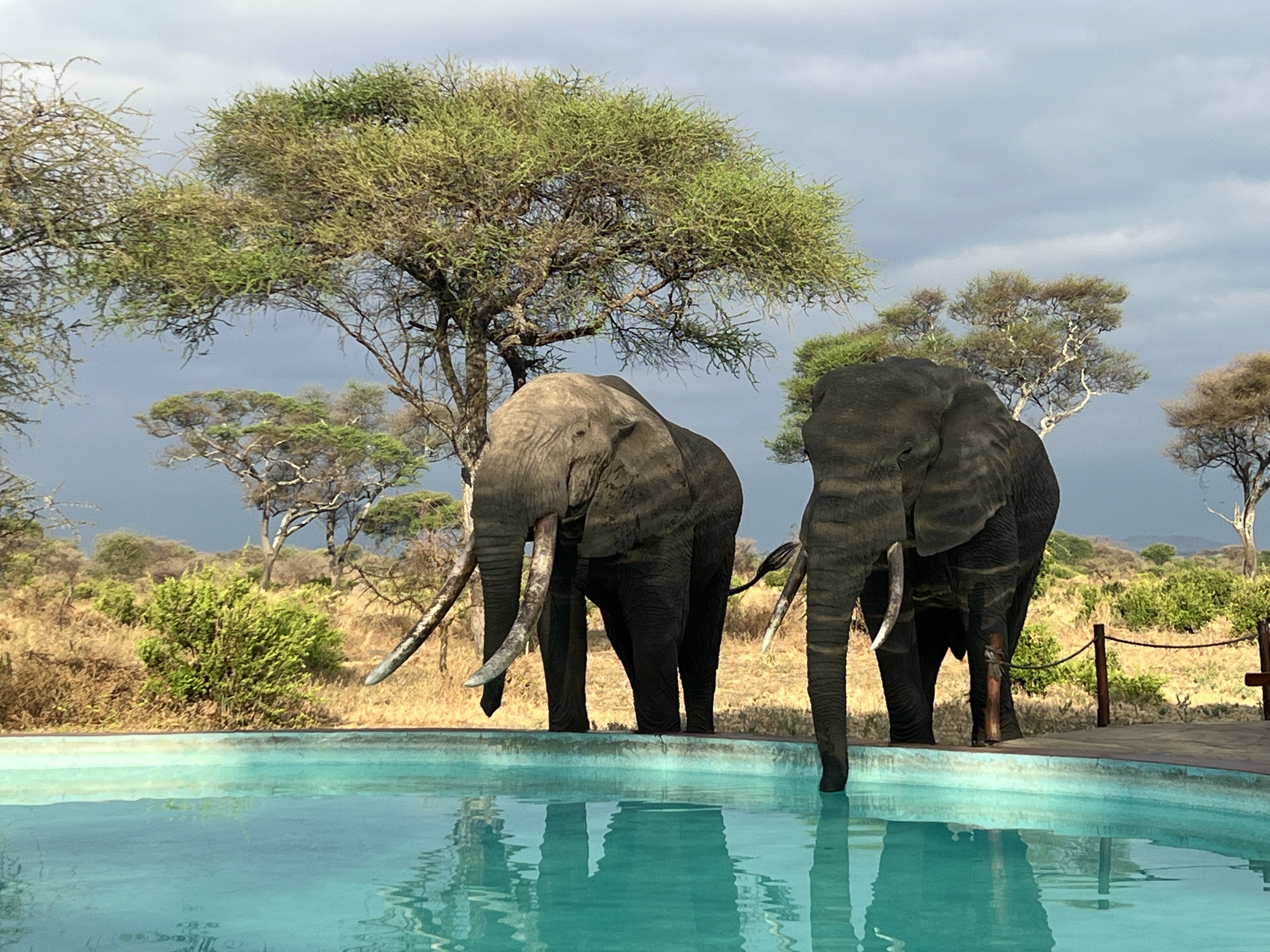
Half way through breakfast a small family of elephants arrived at the waterhole 50 metres or so from the pool area. After nosing around in the muddy water they headed our way and partook of a clean water trunkful, several times, from the pool. Apparently, a regular visitation.
It was a one night stop over at Tarangire and we were to head off for Manyara NP, the centre piece of which is Lake Manyara.
To Arusha
Our first day on the road started with a game drive through Nairobi NP. The park is on the outskirts of this 5 million people thereabouts African city. It is almost an urban park but holds lots of animals. The idea in going here is to try to see a rhino. Our guide, Julius, tells us we are unlikely to see Rhinos on the rest of the trip, so that is why we have come here! Having seen Black Rhinos at Victoria Falls it was good to hear that it is the White Rhino we might see.
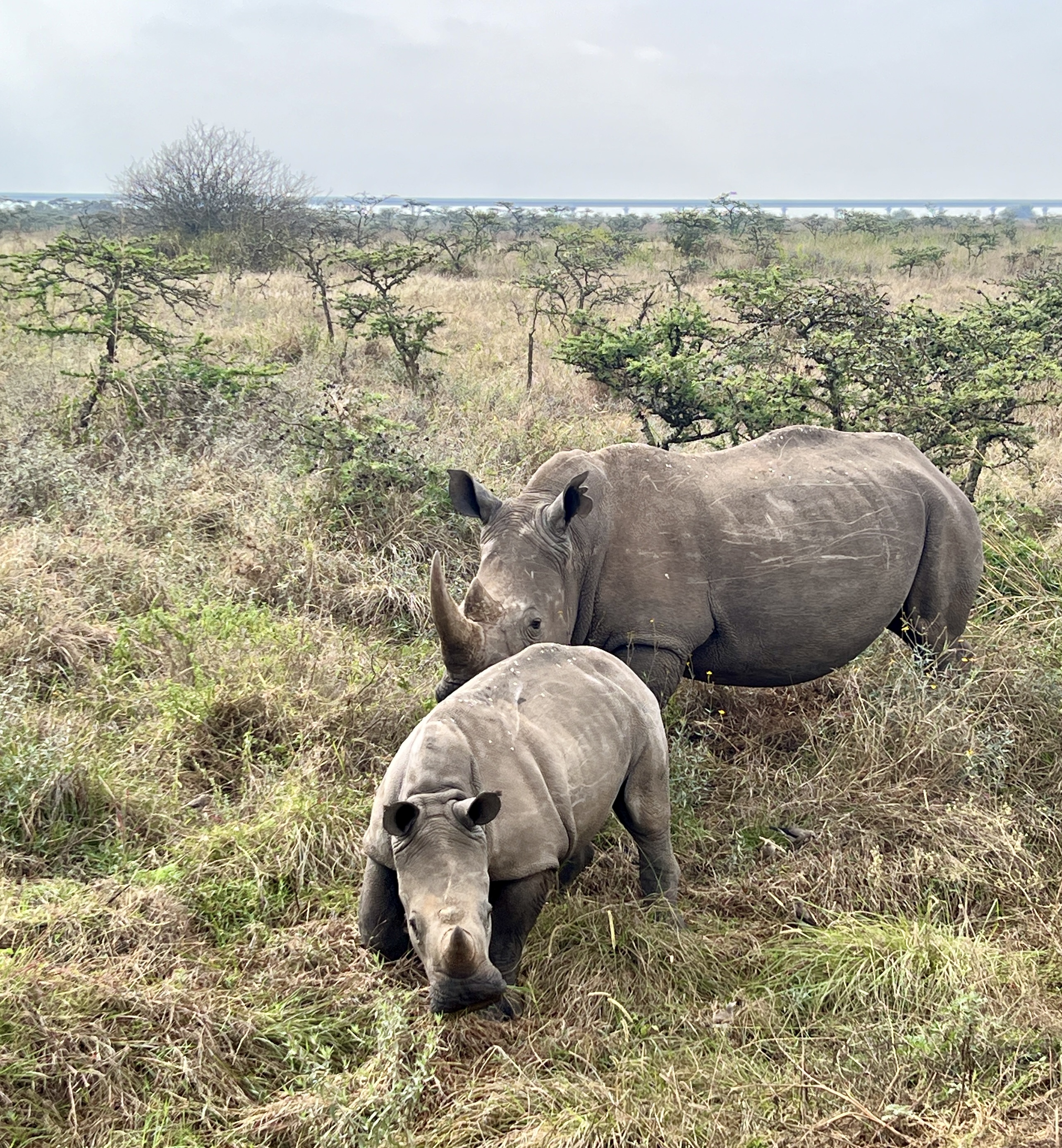
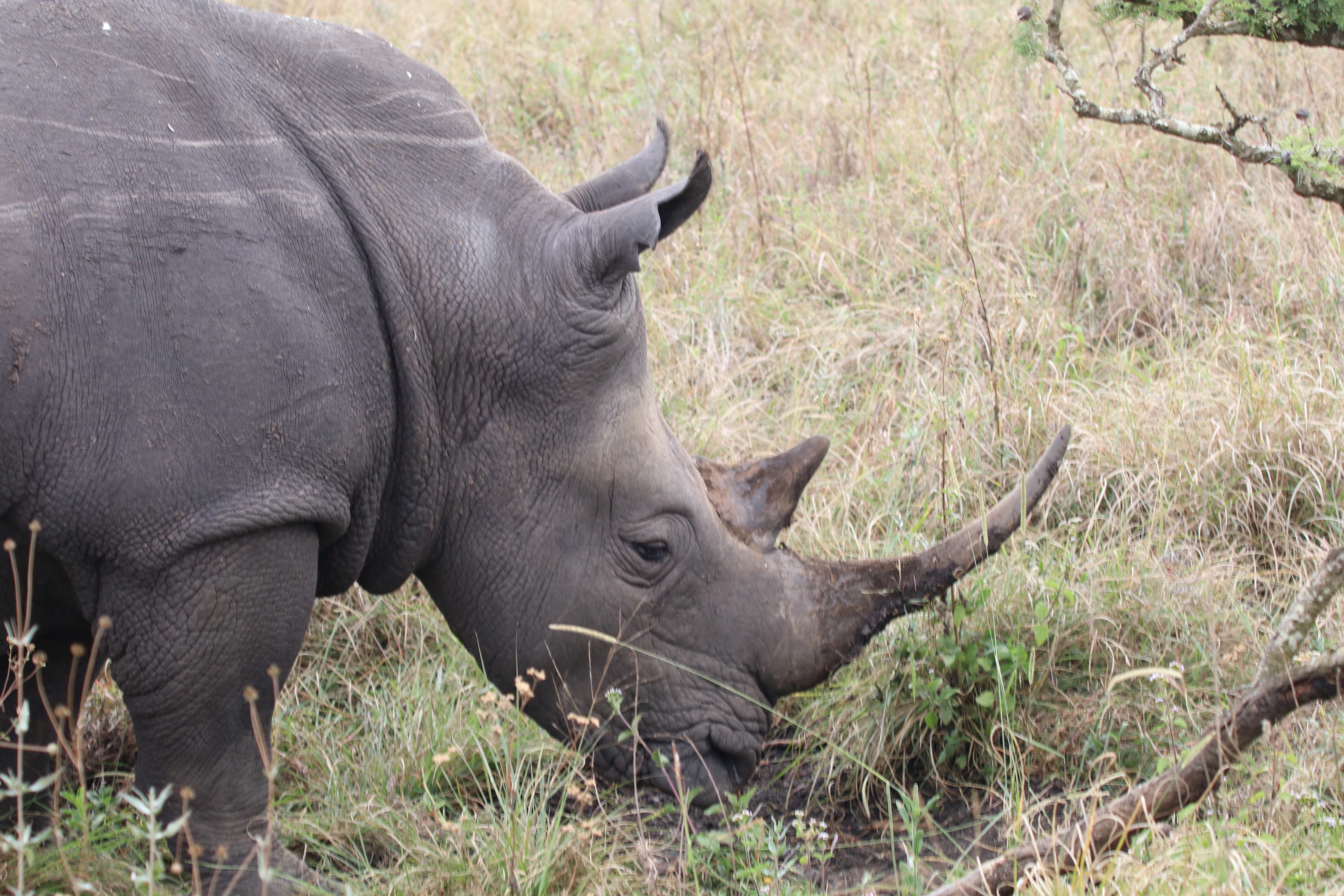
So, not long after we started, sure enough some White Rhinos put in an appearance for us. They are bigger than Black Rhinos and have a wider squarish jaw line rather than the more pointed one of the Black Rhino. We are told that the name ‘wide rhino’ has morphed into ‘white rhino’. Who knows but it is a good story.
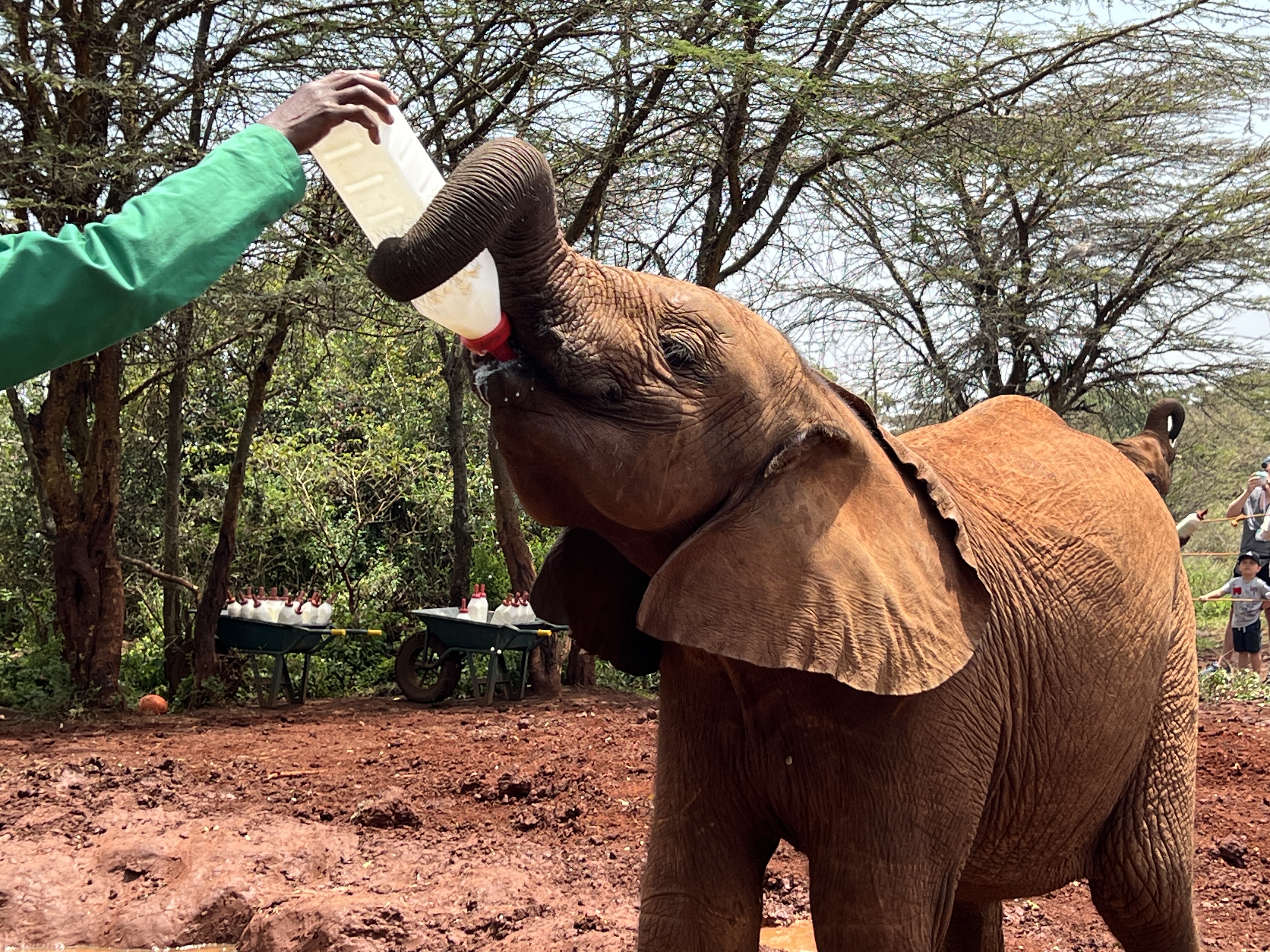
Following the short drive around the park we stopped at the nearby Sheldrick Animal Orphanage. This was established in 1977 and rehabilitates orphaned elephants and rhinos, ultimately reintroducing them back into the wild. The organisation does a lot of other conservation work.
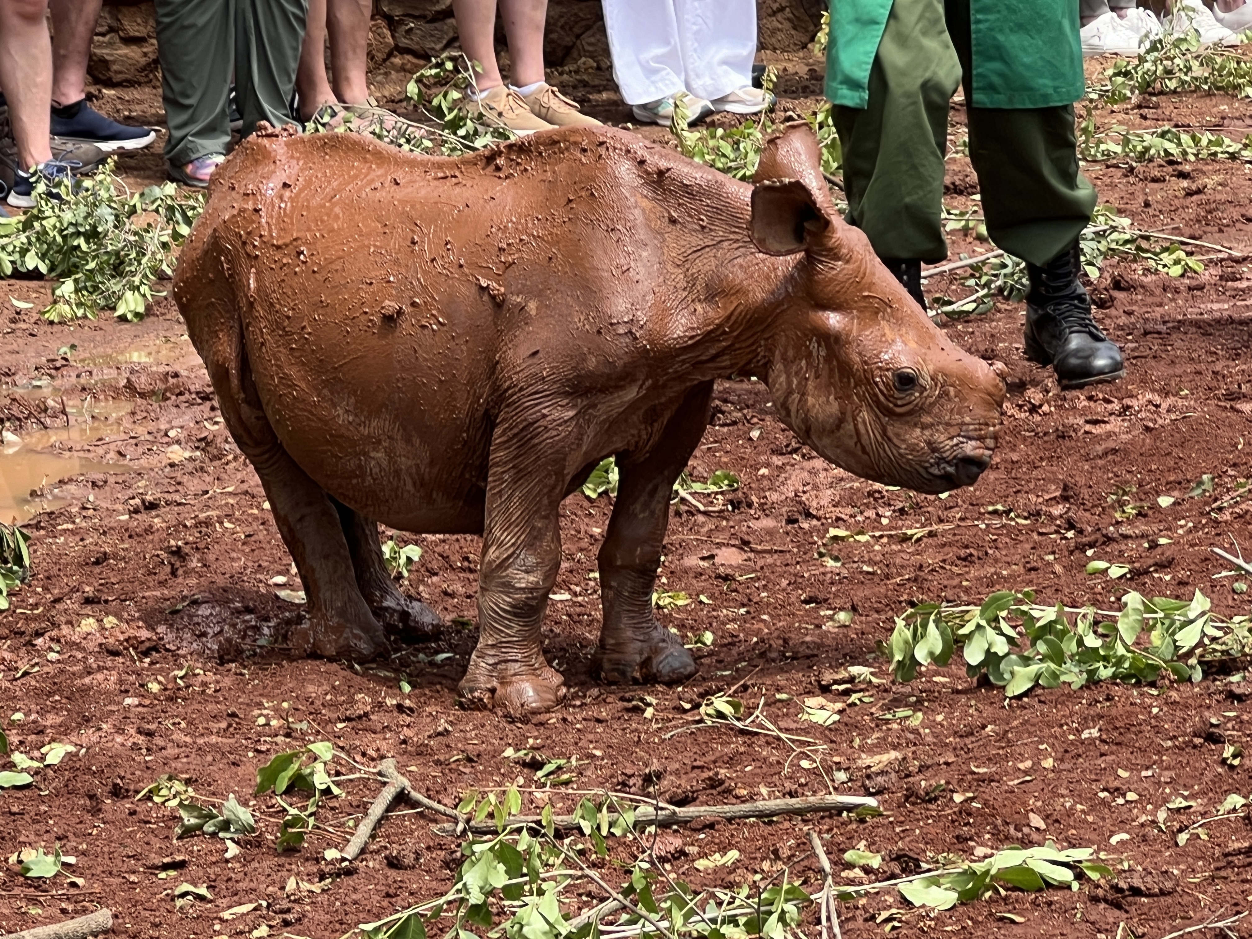
We saw an impressive parade of inmates. First was a baby rhino, followed by 20 elephants in two groups. The MC gave us a potted history of each animal, by name, without drawing breath. Pretty impressive!
After this we returned to the hotel for lunch before departing for Amboseli NP for two nights. The drive was slow down the highway towards Mombassa on the coast, truck after truck in both directions. Ultimately, we turned off towards the south, still slow as we navigated through numerous small townships and villages. Some hectic passing manoeuvres as well. It took us 5 hours, getting to the lodge around 6.30pm in time for dinner!
Next morning we were off on a 6am game drive through the Park, famous for its elephant population and Mt Kilimanjaro that looms large over the landscape. Unfortunately, it is shrouded in mist and cloud while we were there. So, couldn’t get that classic photo of the elephant in front of the mountain in clear blue skies. Had to settle for a herd of elephant massing beneath the shrouded table top of Kilimanjaro. Not bad!
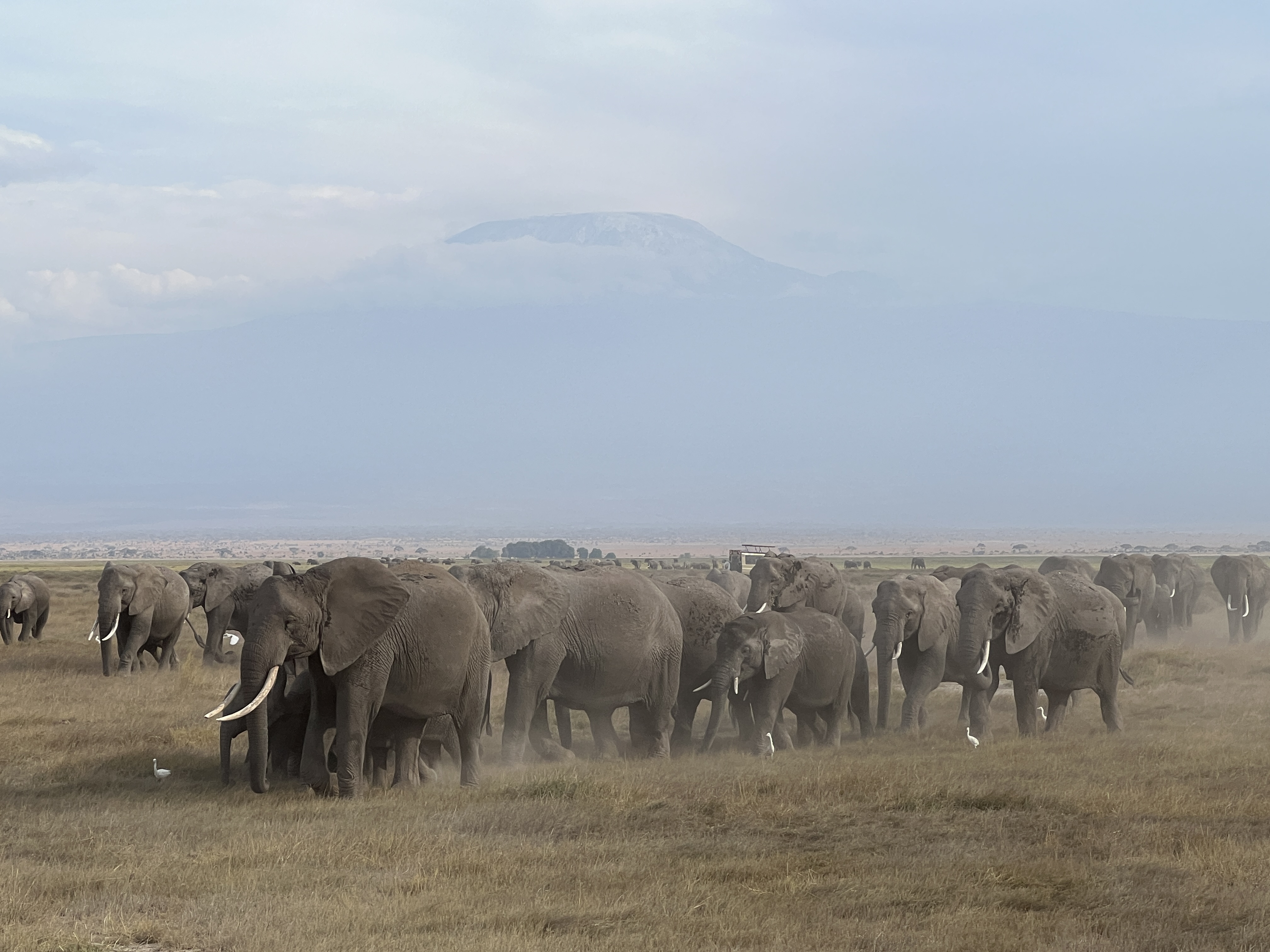
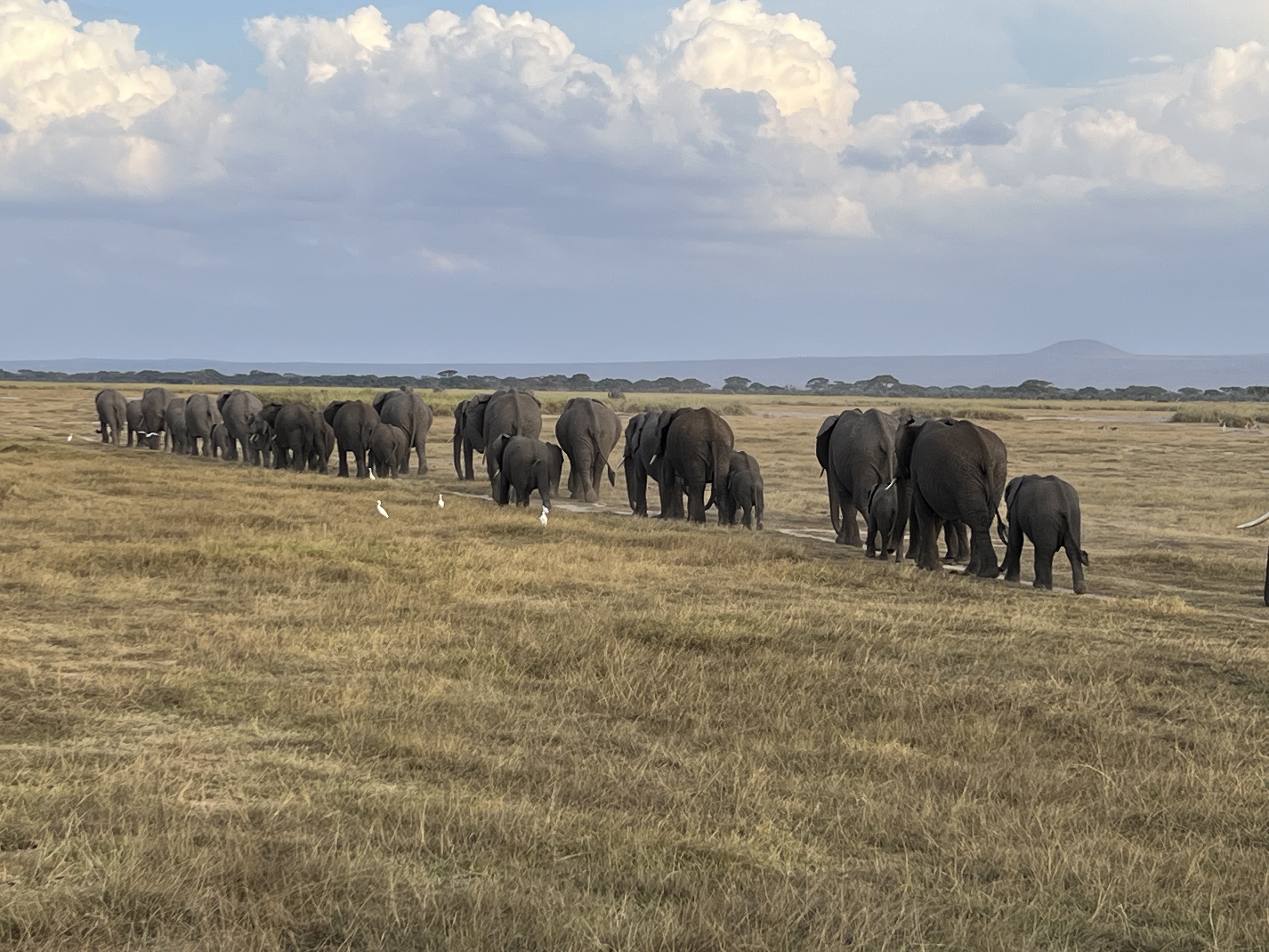
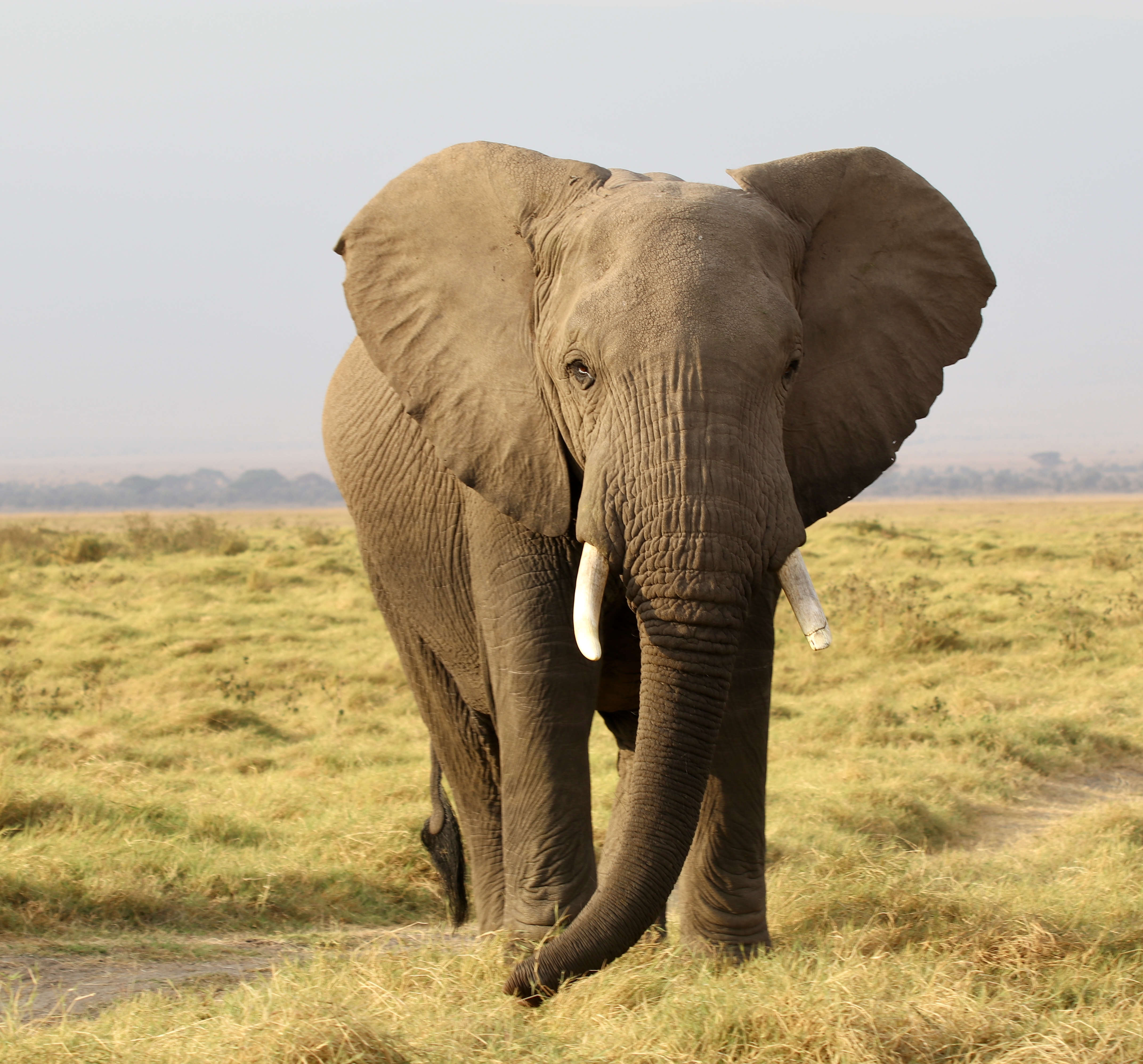
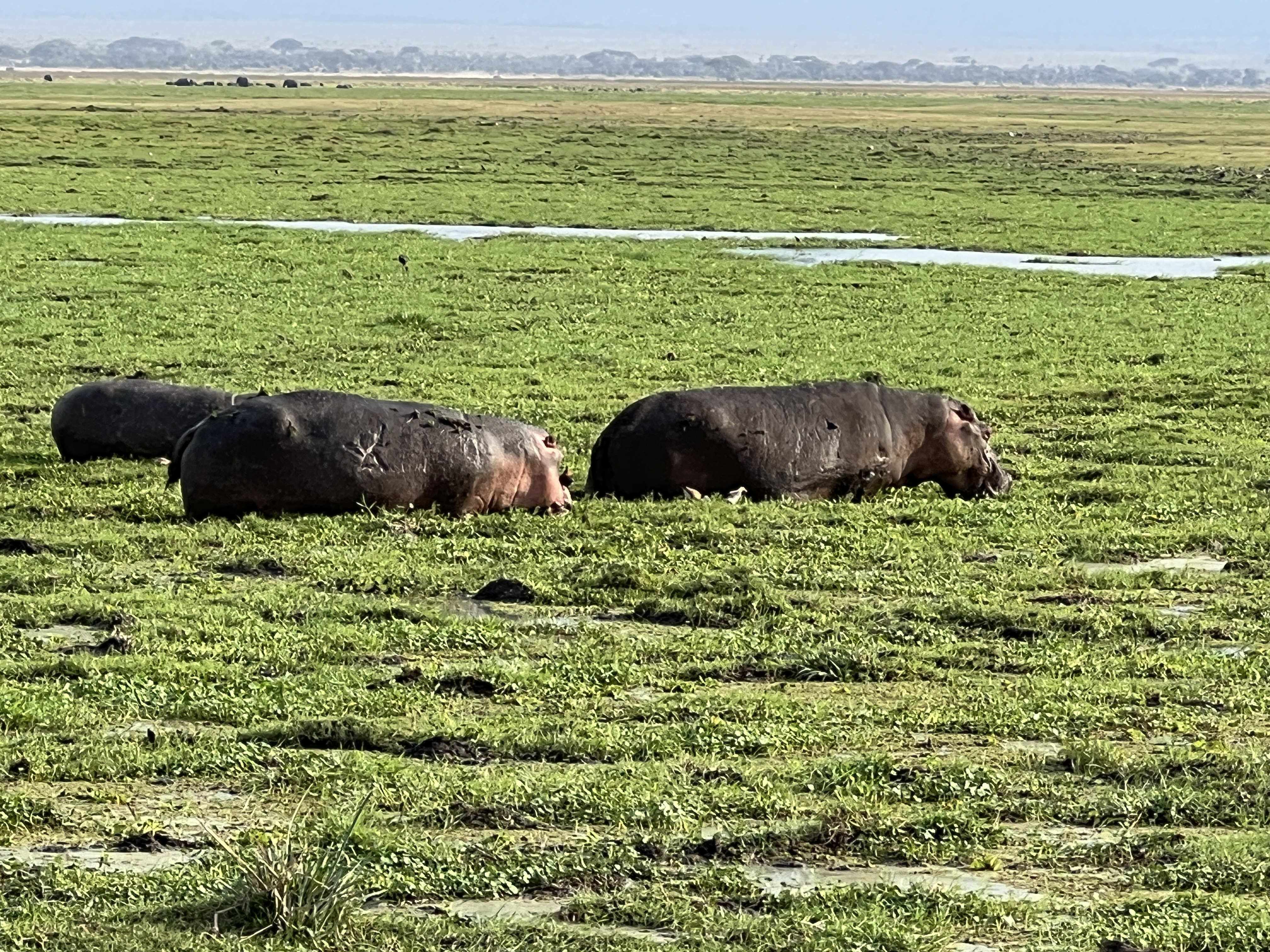
The other animals, I’ll call them the usual suspects, were in abundance; but no lions came our way. Hippos grazing were a standout.
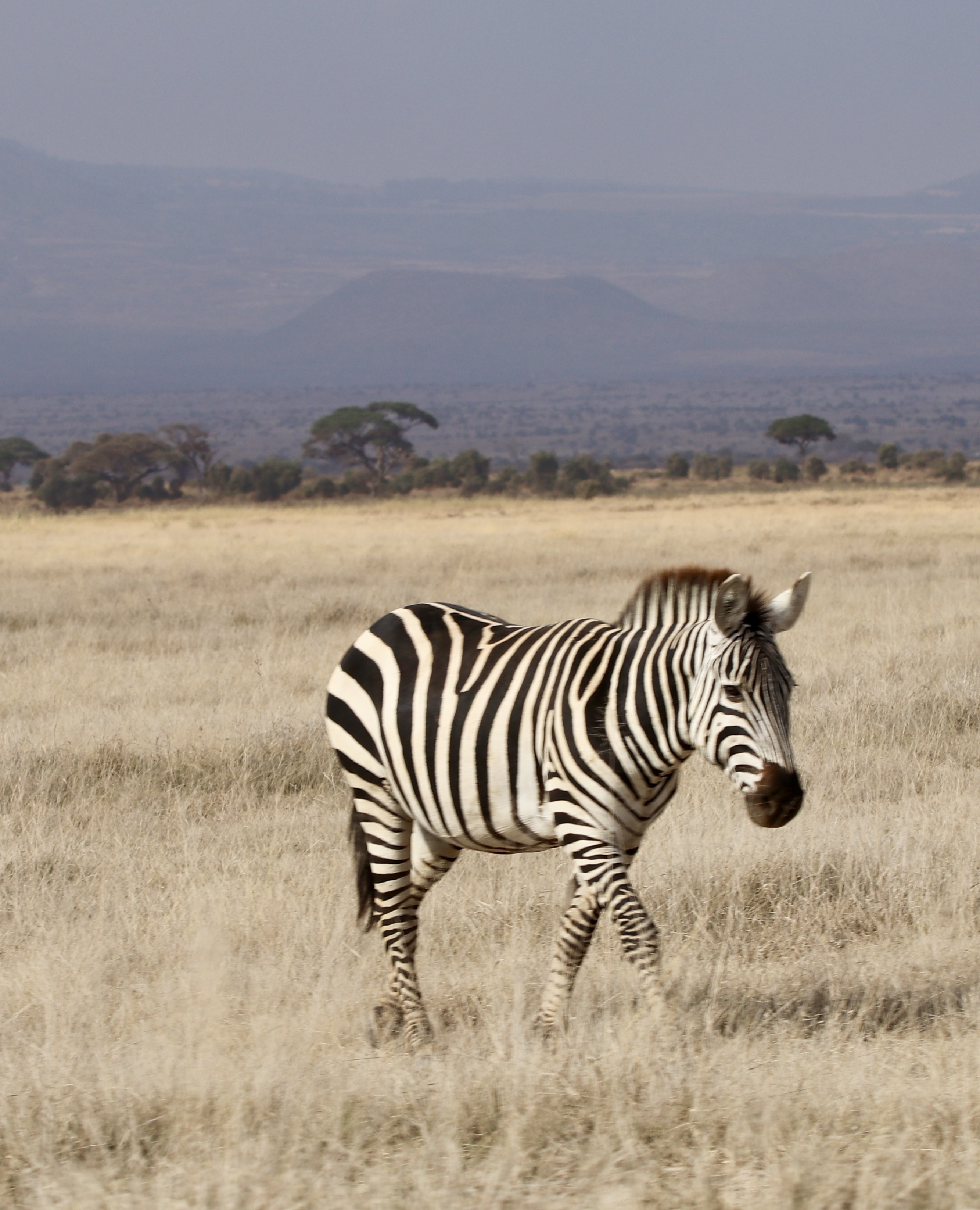
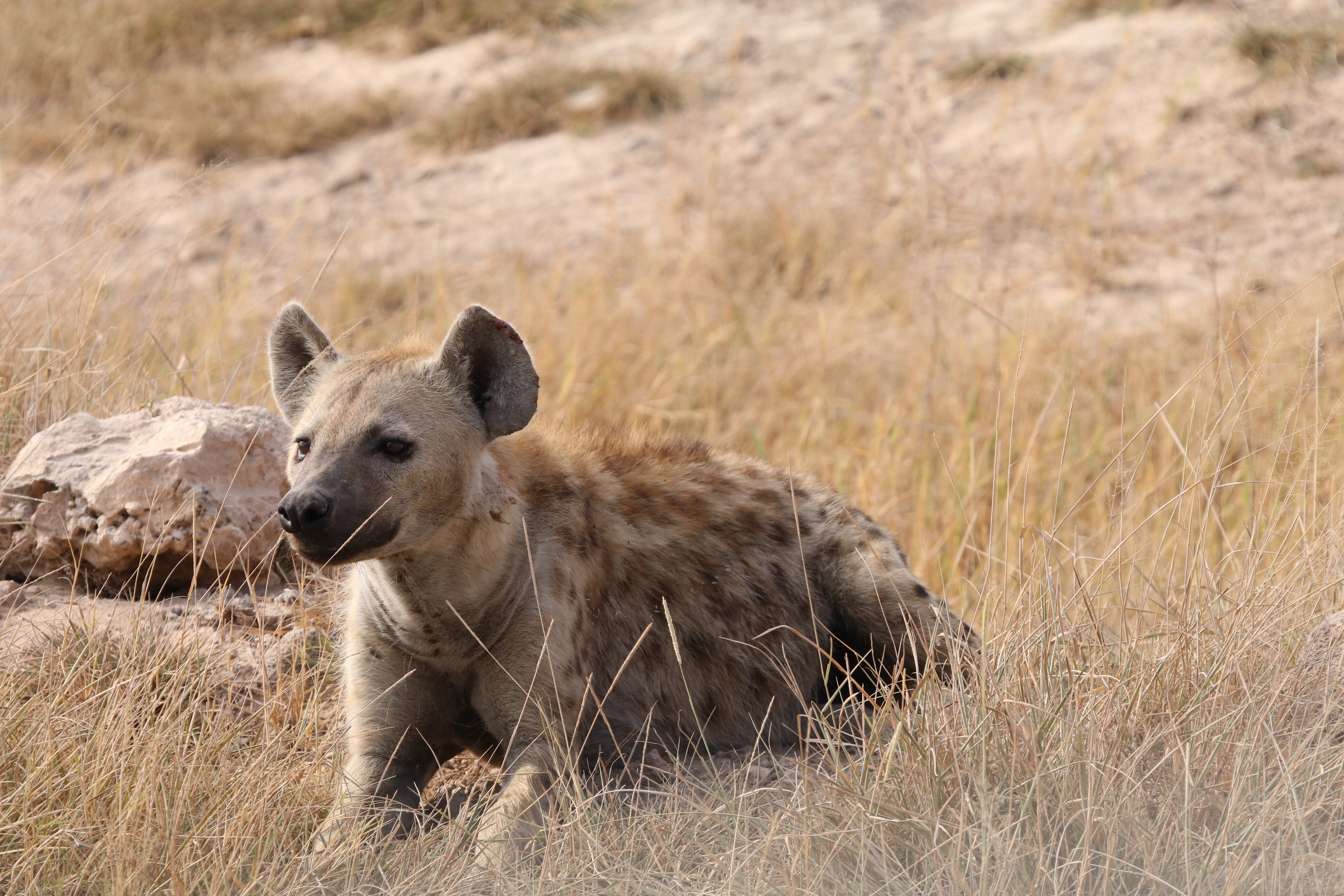
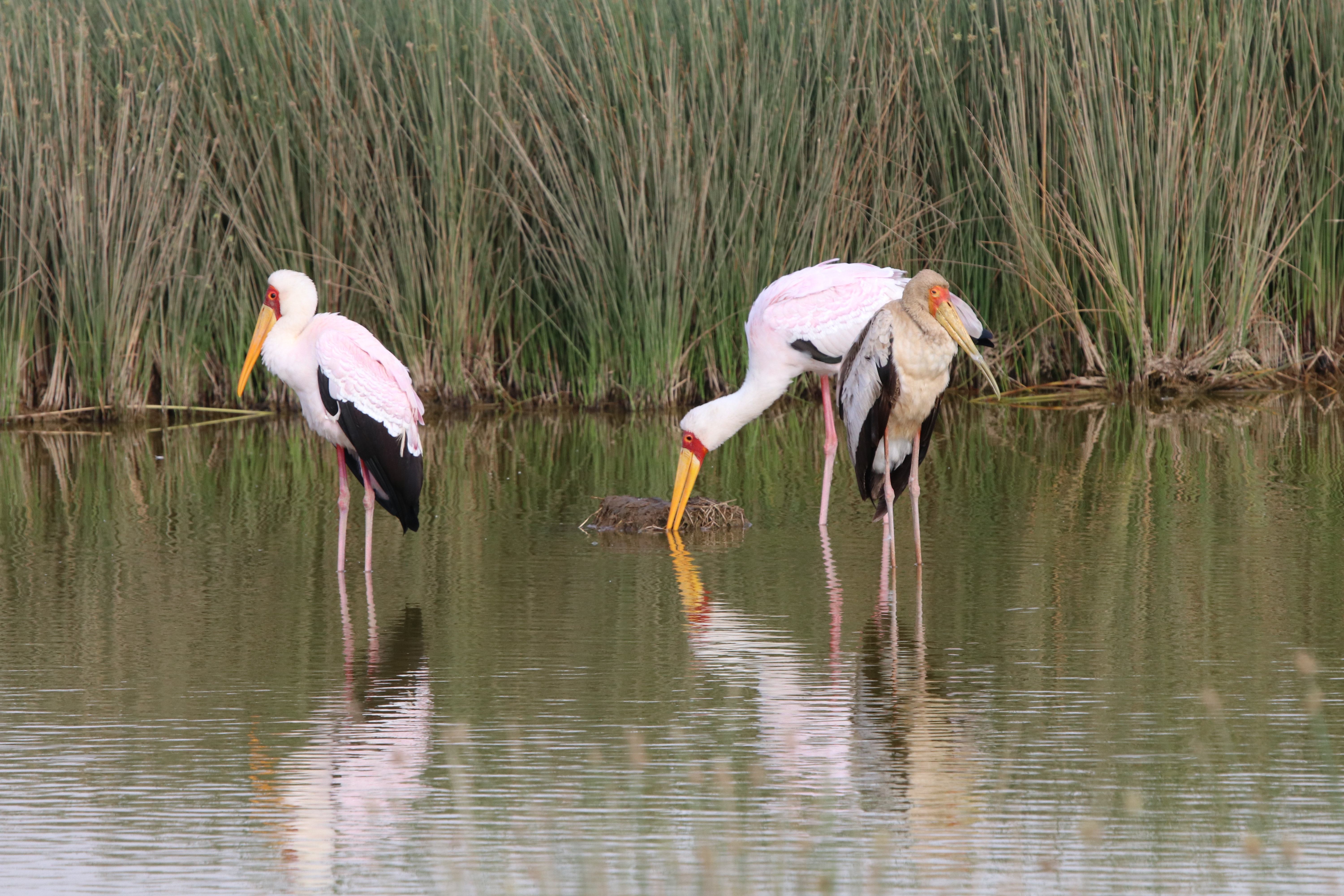
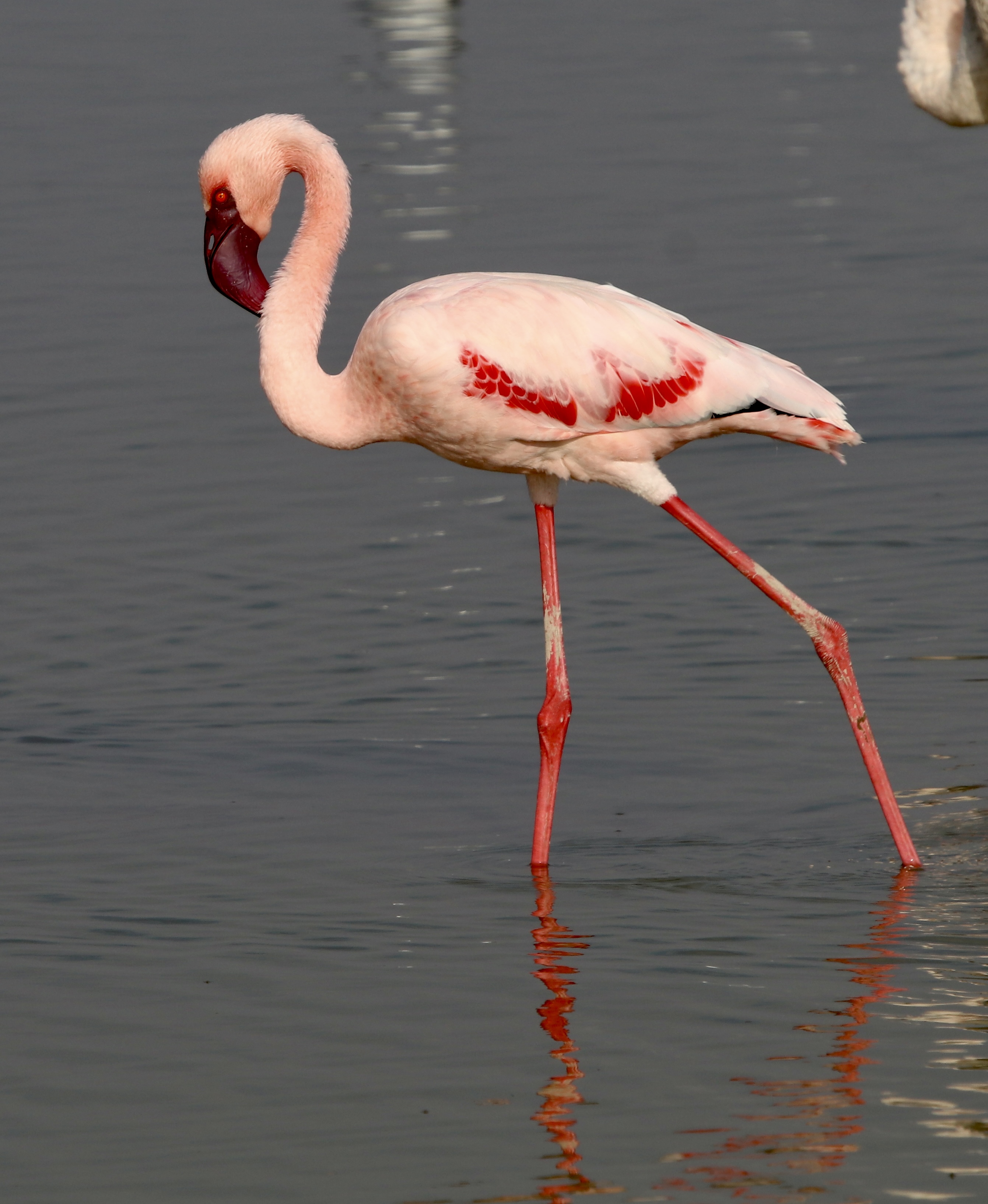
We left Amboseli for the lengthy slow drive to Arusha. This involved the Tanzanian border crossing and a change of vehicles and guides.
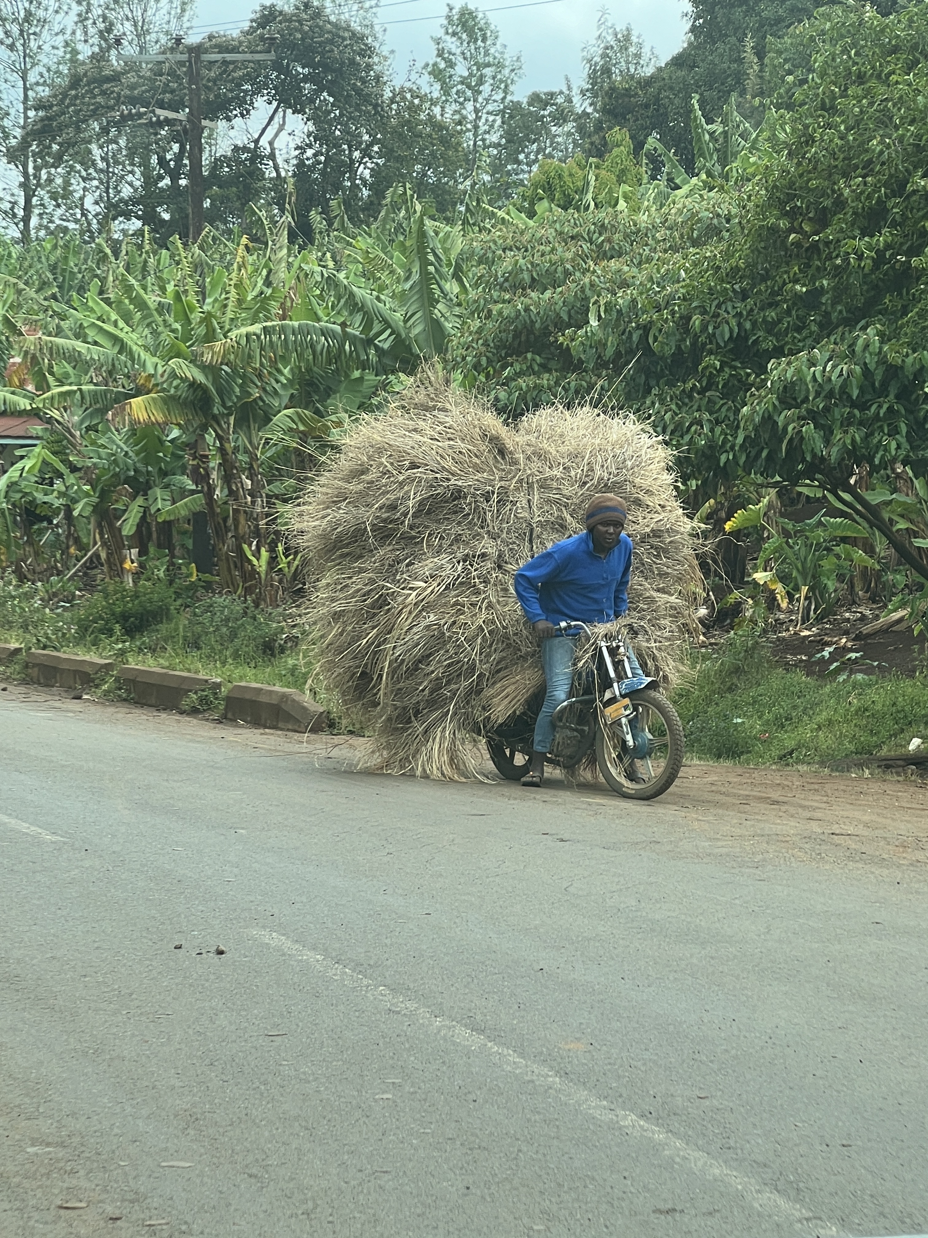
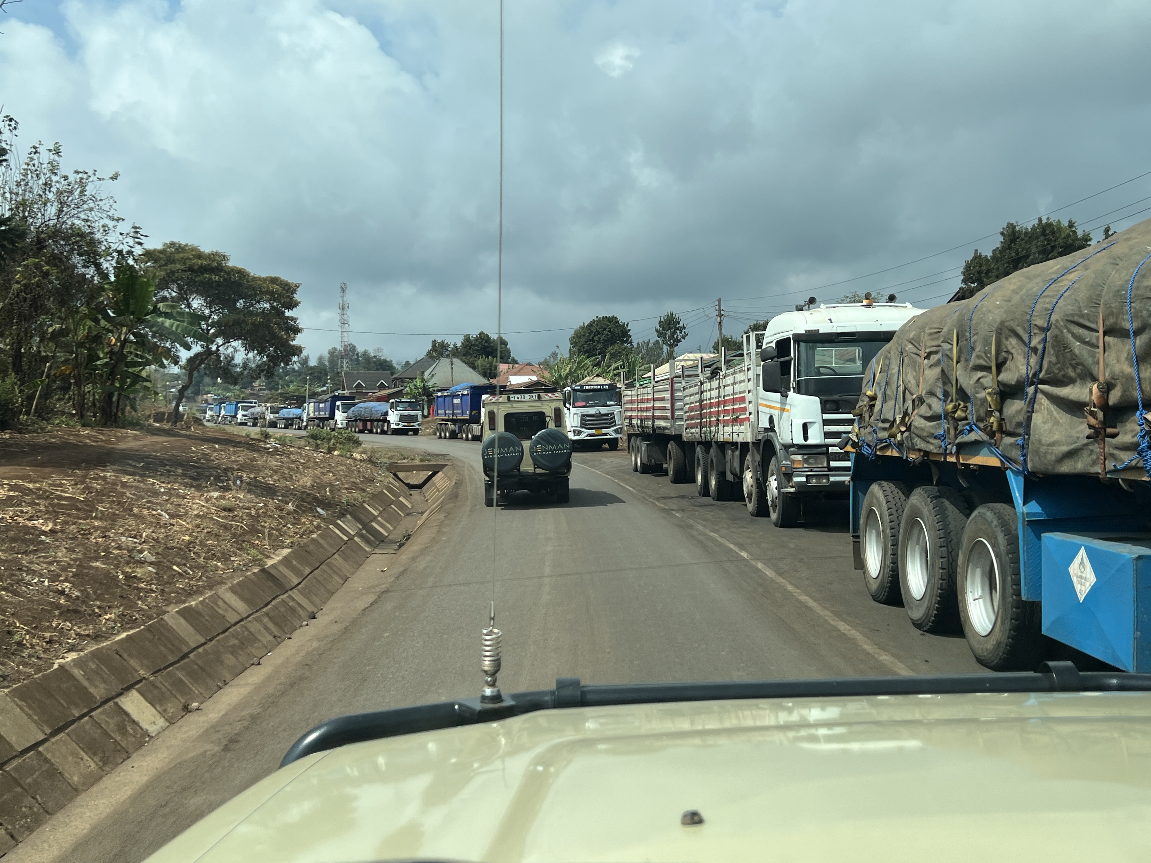
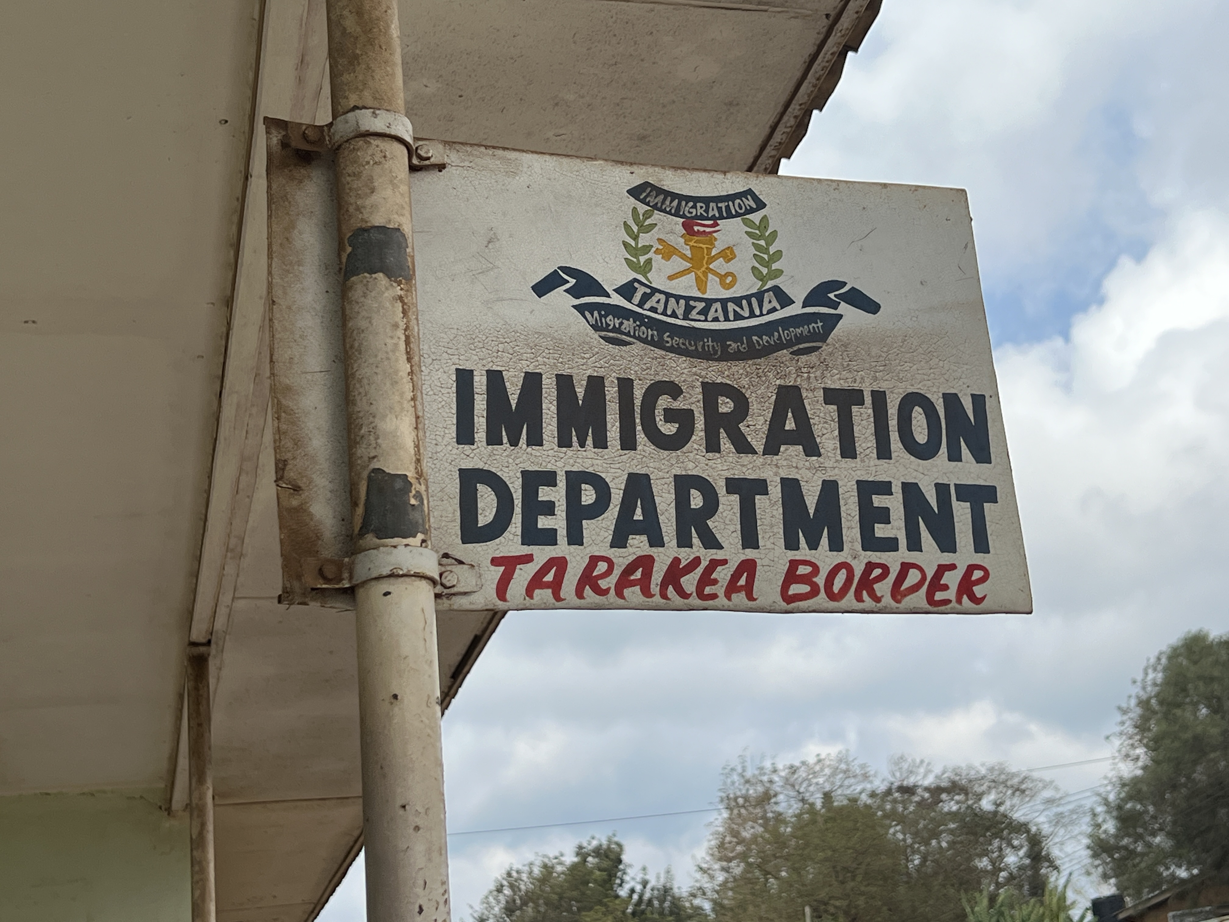
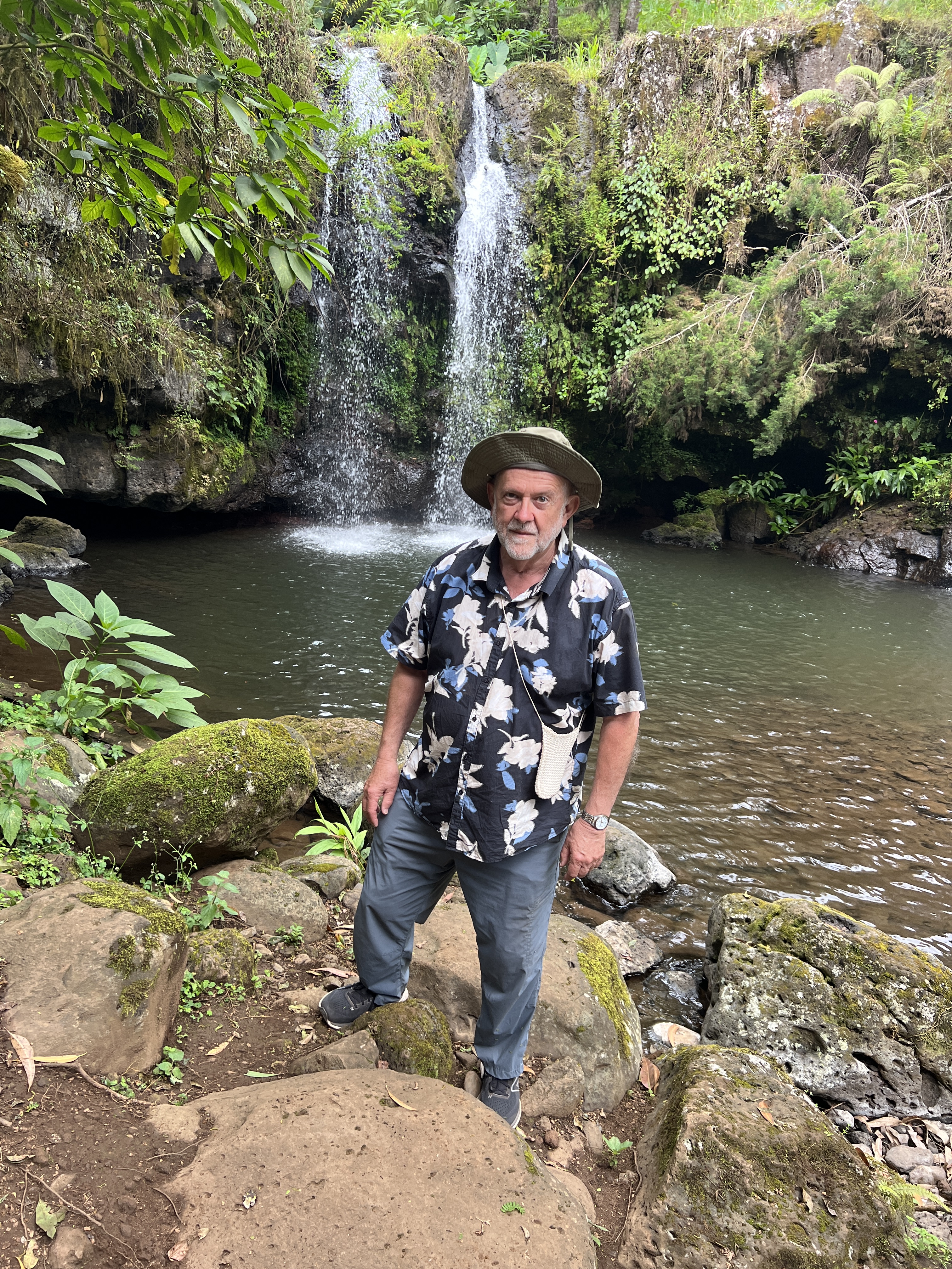
We had no dramas. Our party of 9 was split into two vehicles, travelling mostly in convoy. Along the way we stopped for a short walk to the Kilimanjaro Falls, pretty but not spectacular.
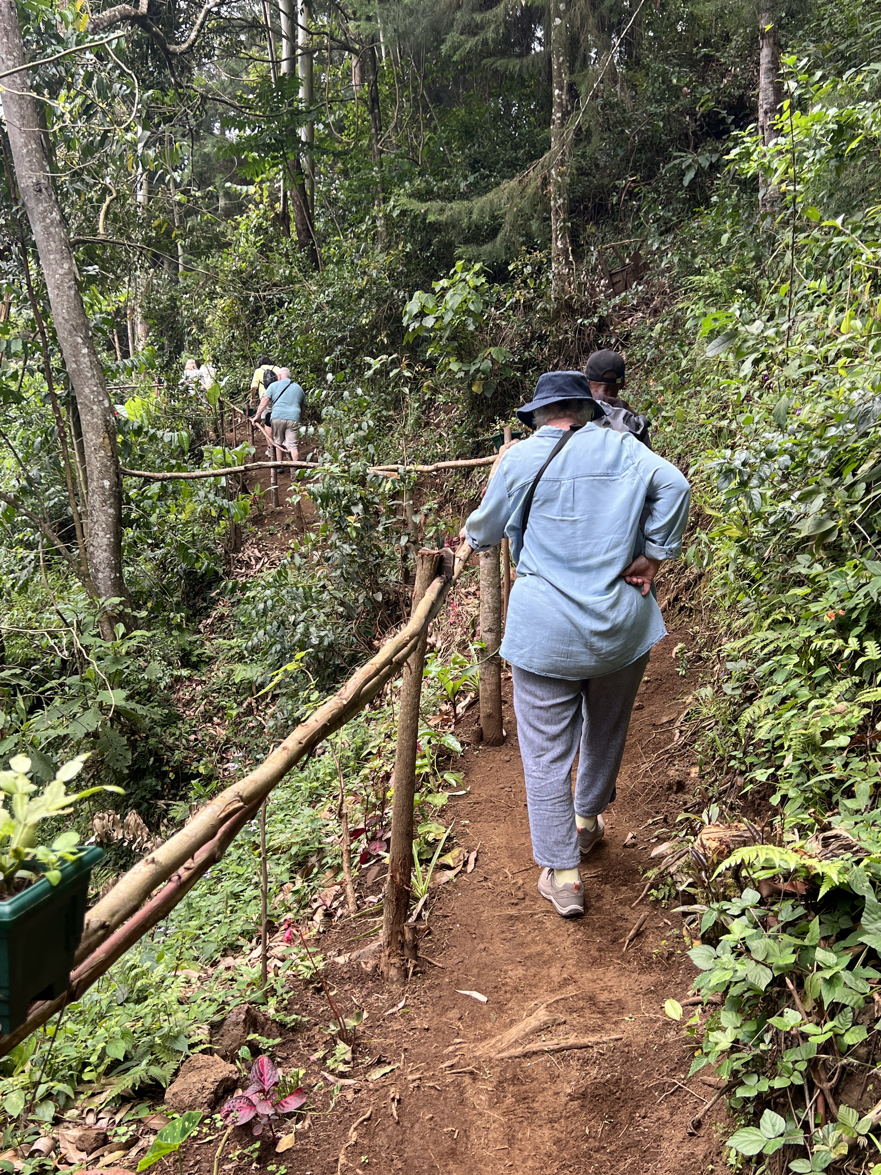
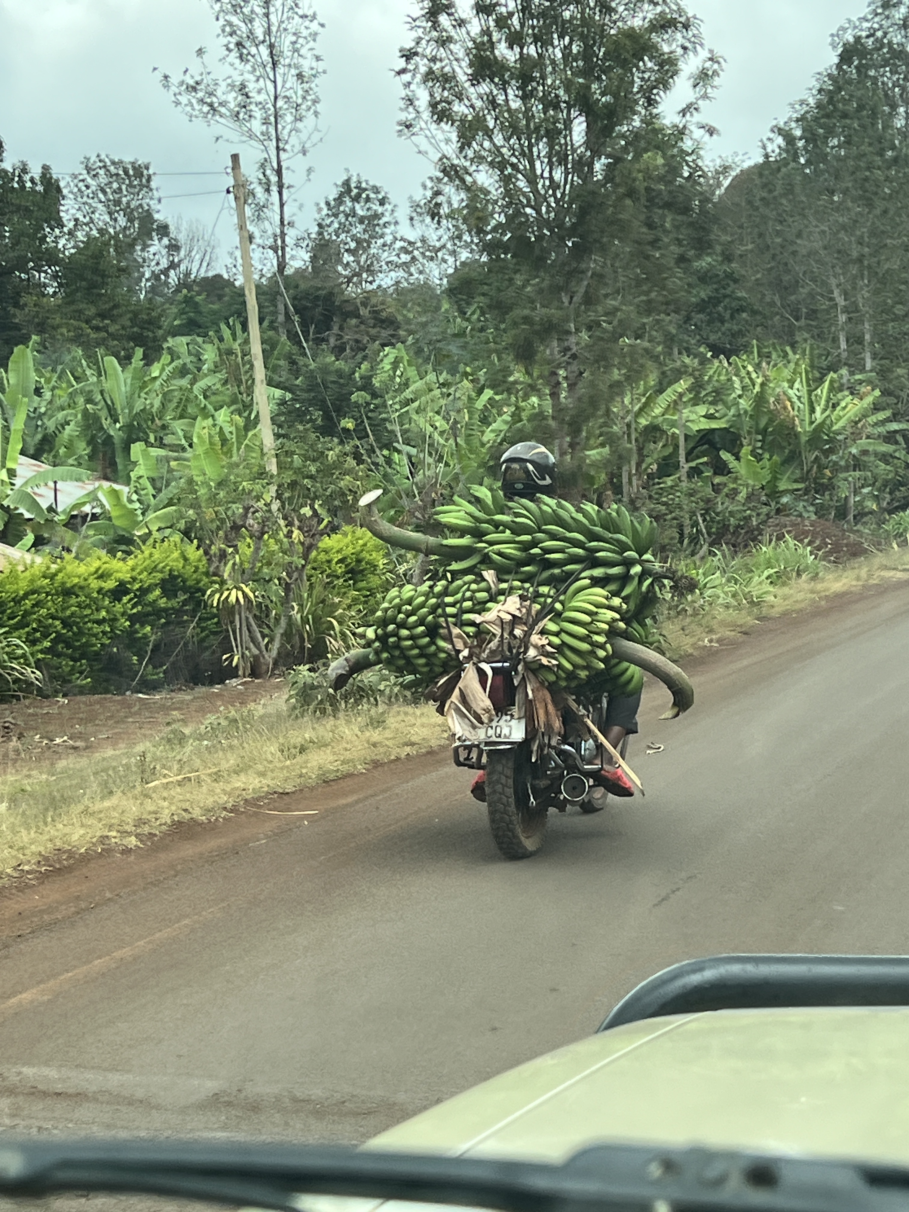
A short break for lunch in Moshi before resuming the trek and arriving in Arusha. Arusha is a major centre in the country. The Tanzanian Vice President was in our hotel, The African Tulip, a fair bit of security was around.
It had been a long day as we settled into the hotel. In the morning we would be leaving for Tarangire NP.
Breakfast game drive
We duly rose for our 5.45am game drive out into Chobe NP. When we asked what we might see our guide replied, whatever nature dishes up. The usual response!
It was a rather bumpy ride in the very sandy environment, almost sandhill like in parts.
We were not disappointed! A great range of animals were seen.
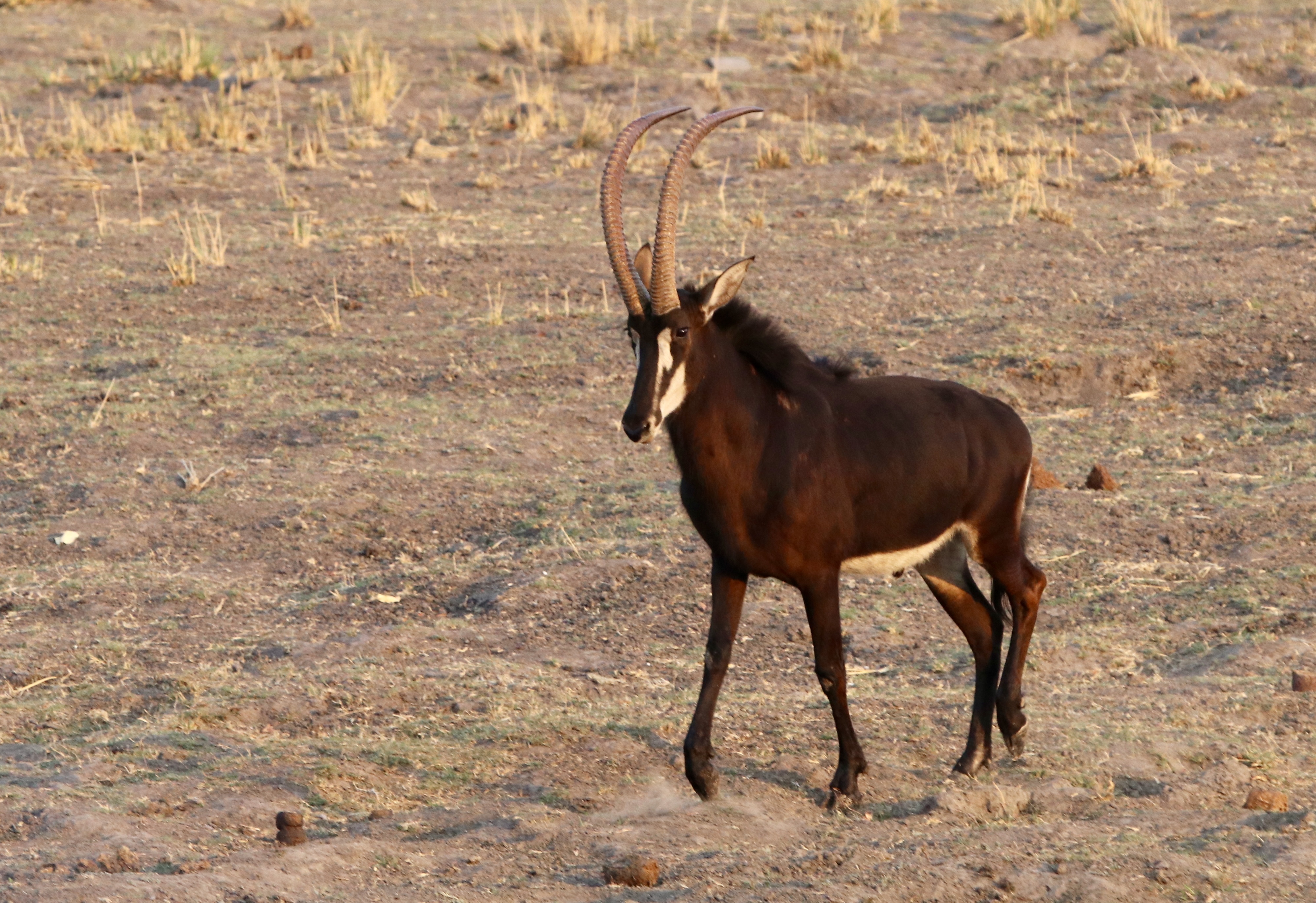
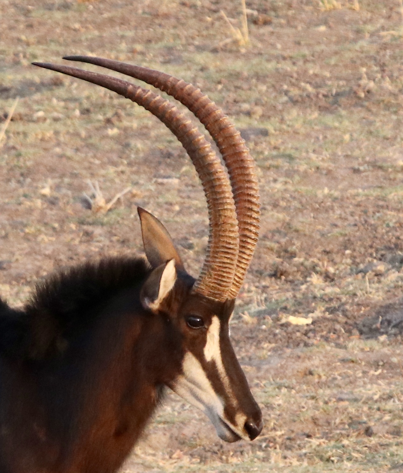
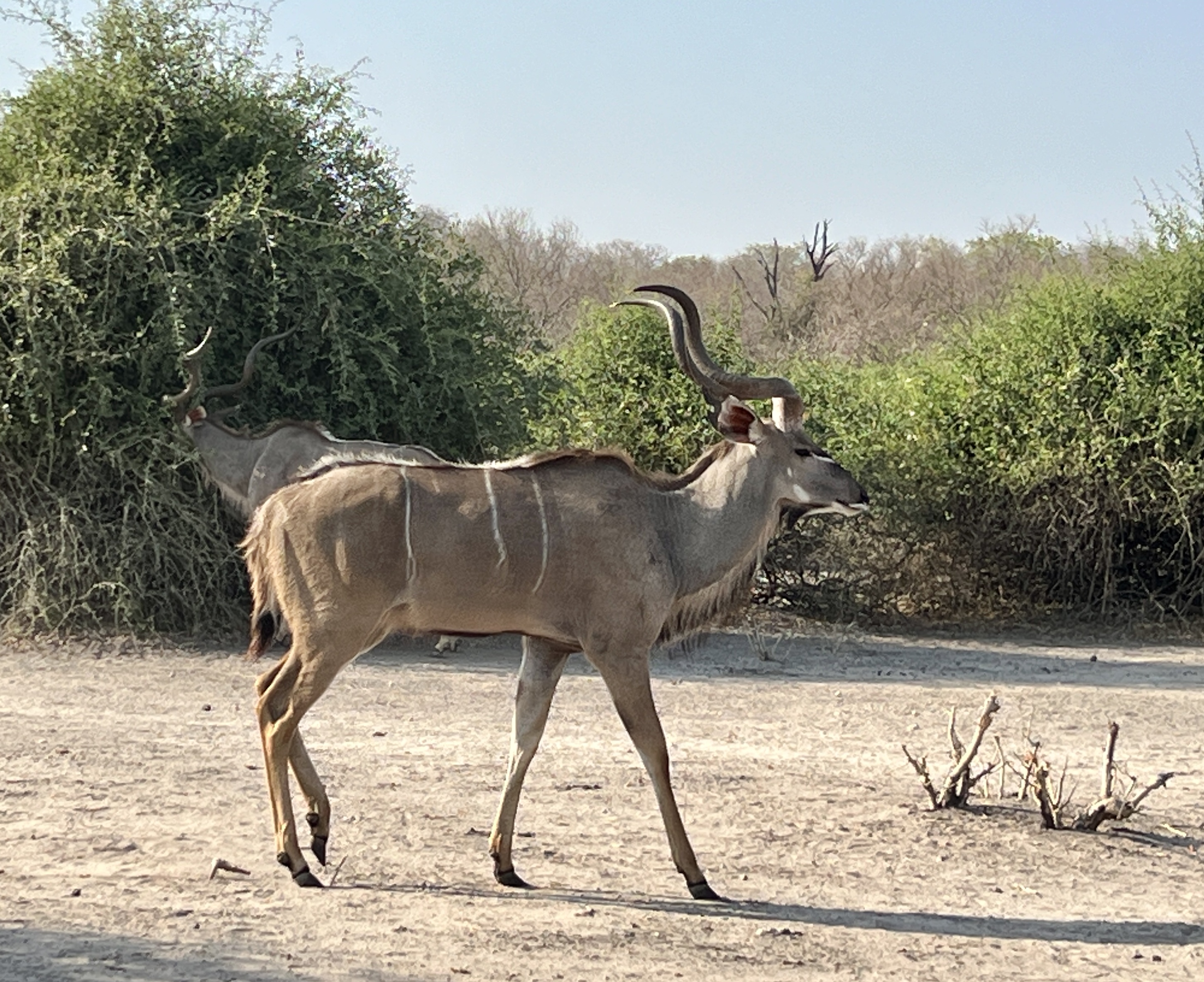
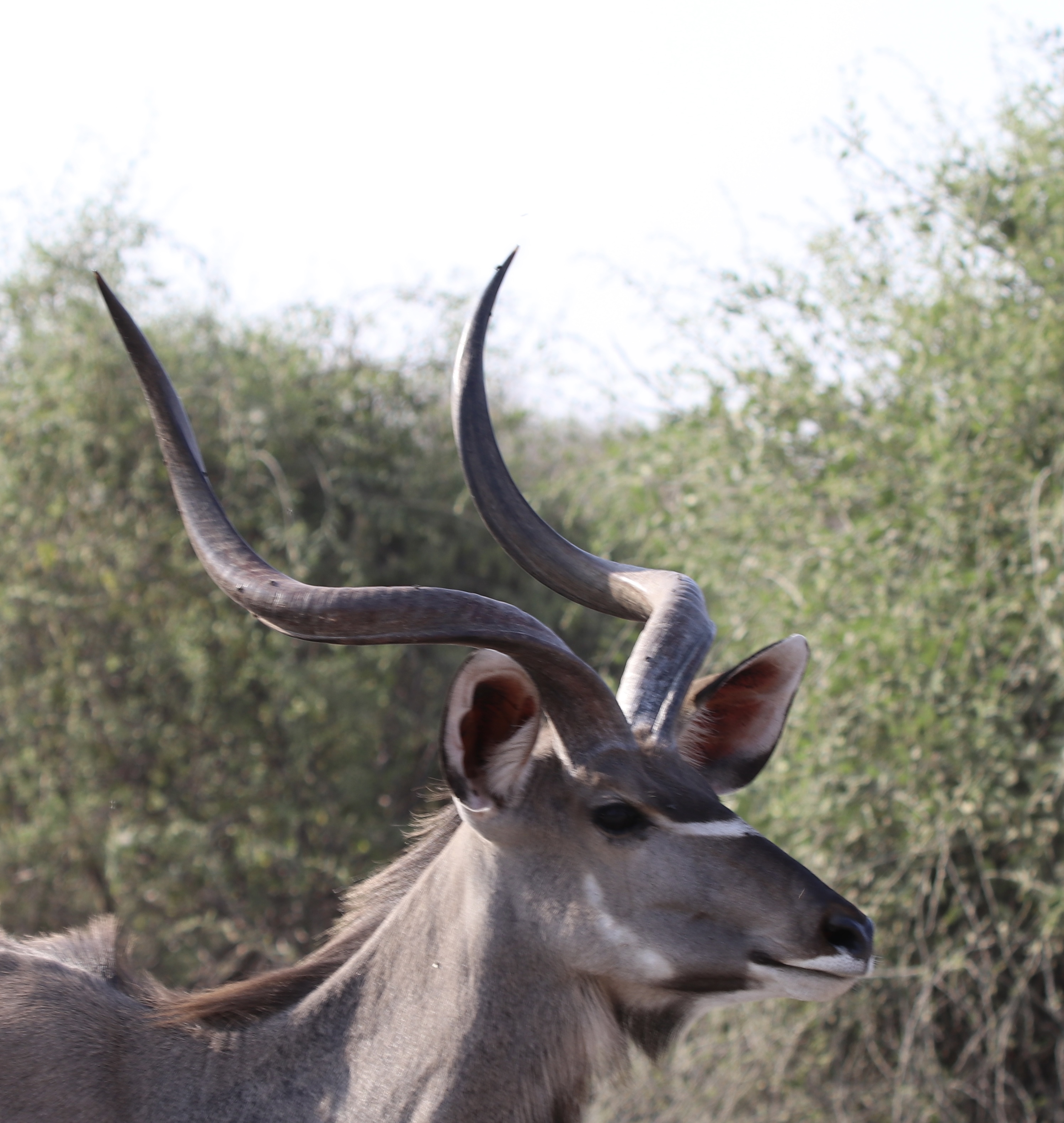
A Sable and a Kudu were standouts. Numerous Impala. Some vultures feasting on the carcass of a small elephant.
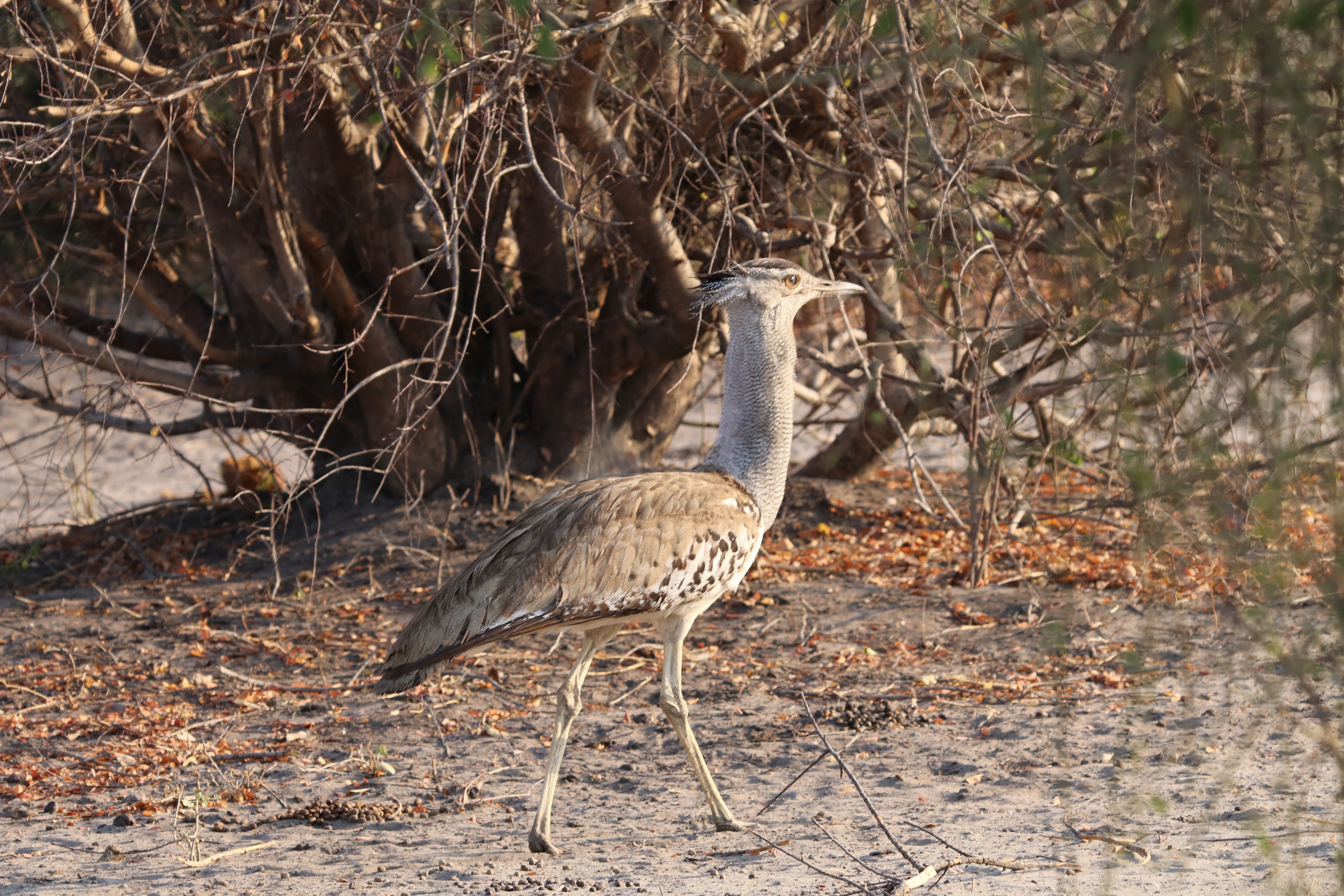
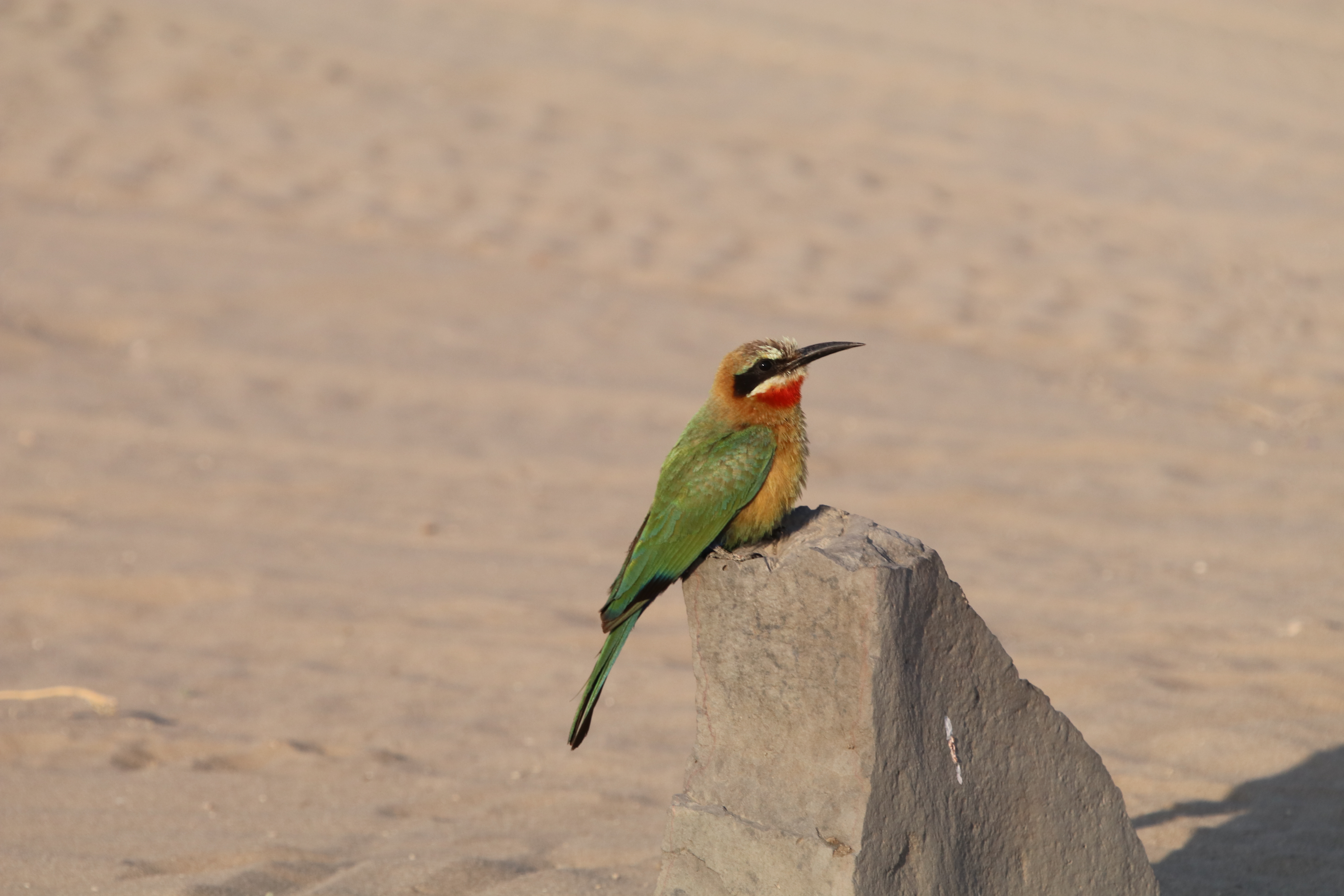
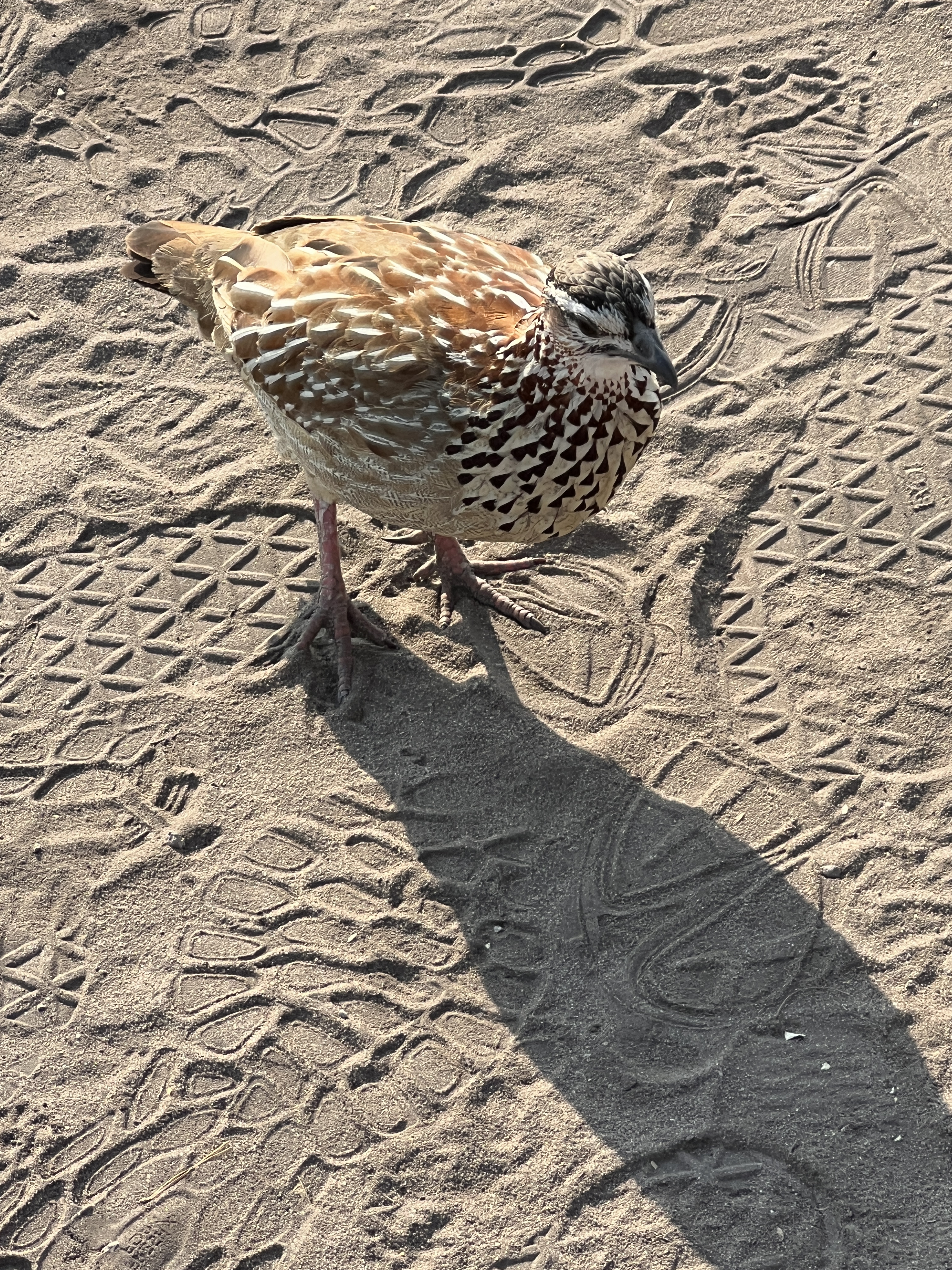
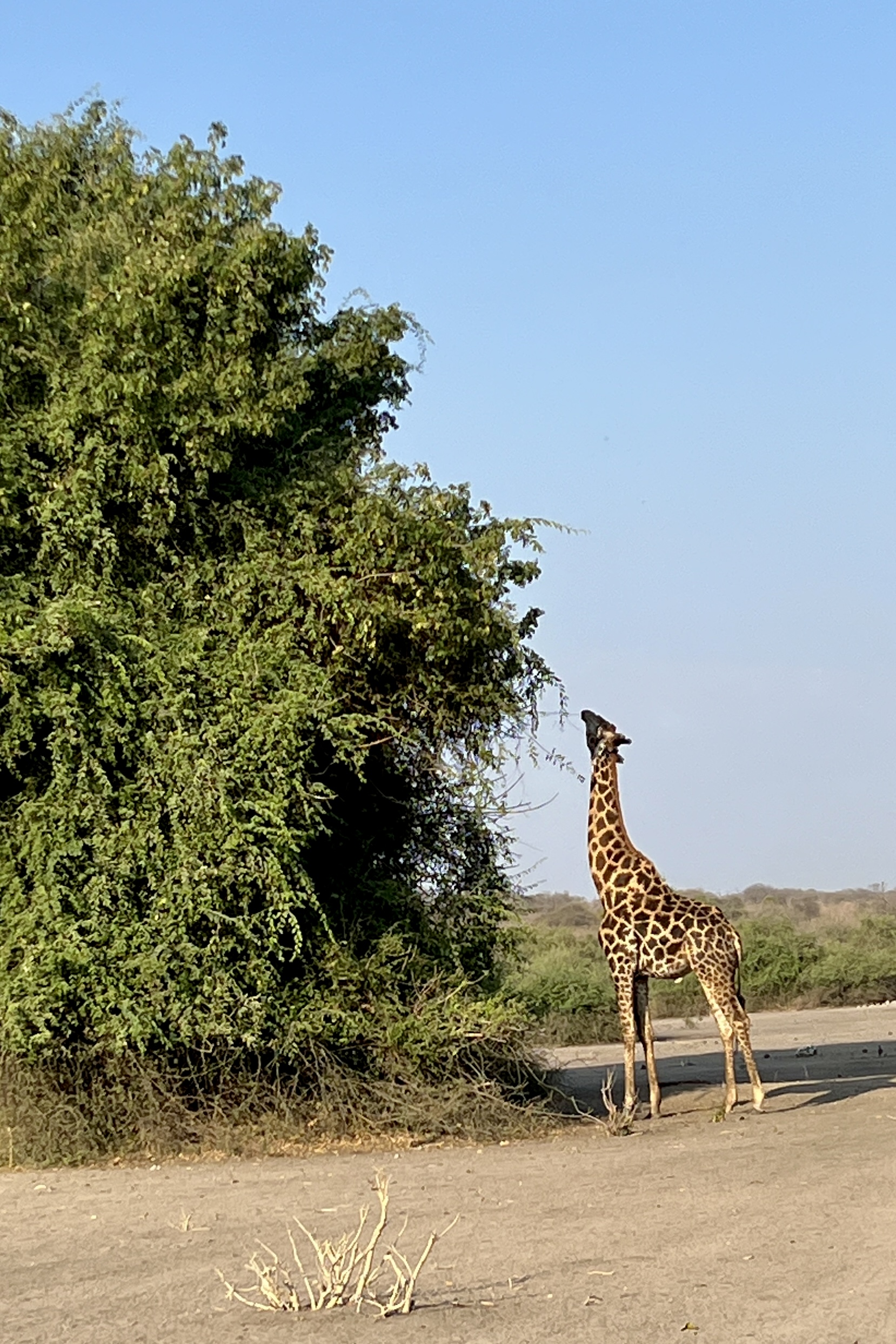
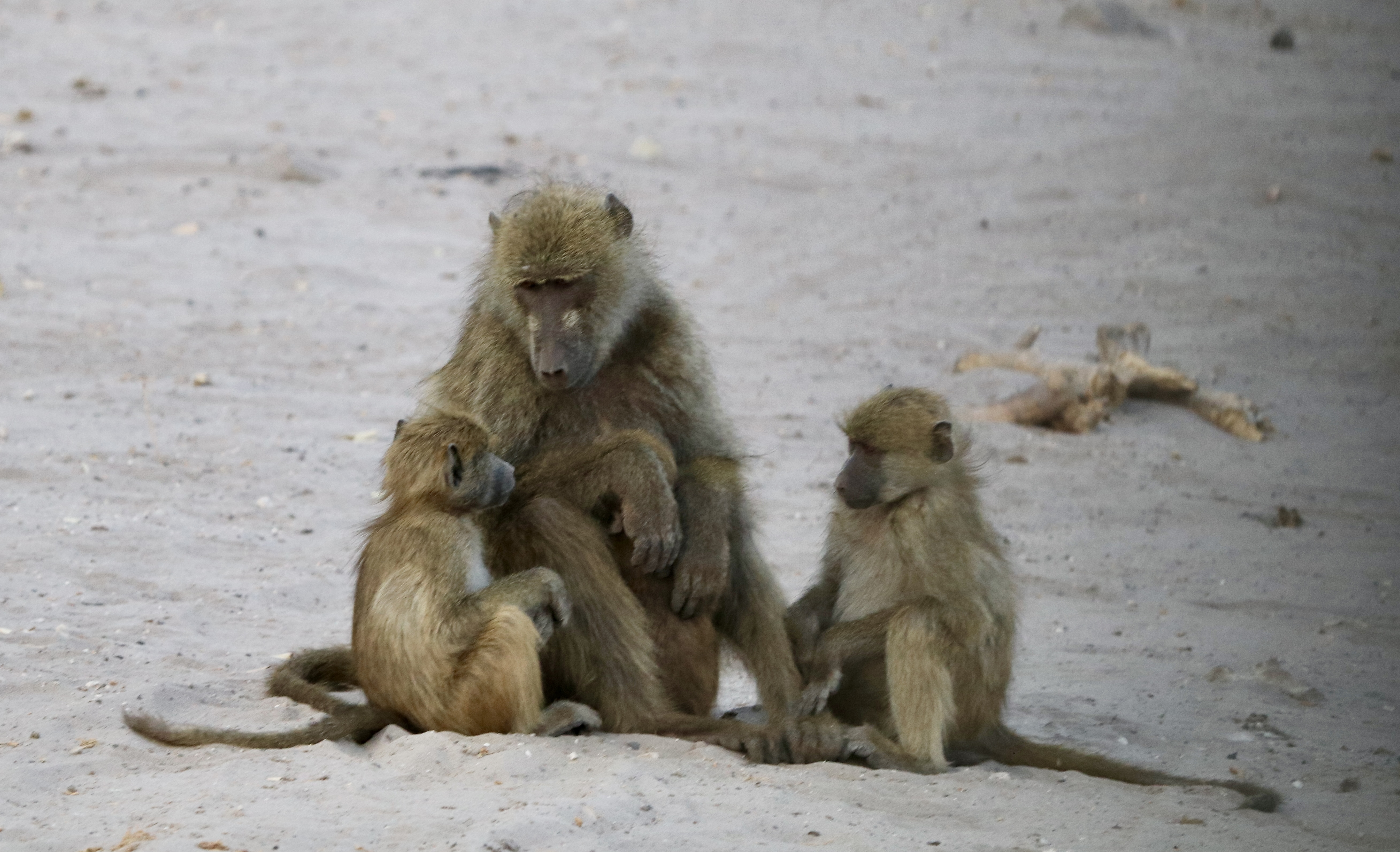
A number of birds. Some giraffe and baboons.
The highlight though was coming across a pride of lions devouring their breakfast, a big Kudu. What a sight, only about 5 metres away from our truck! Memorable.
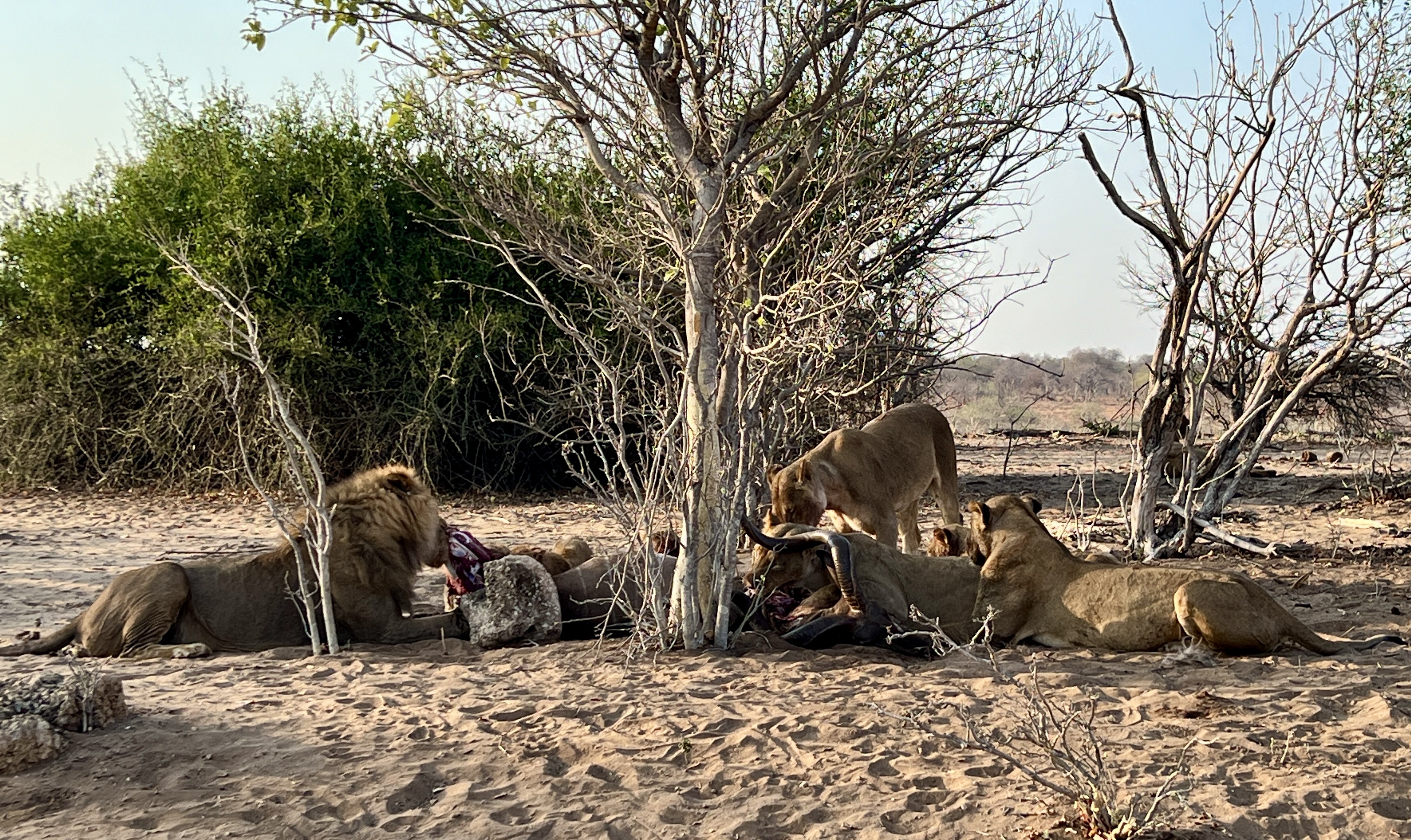
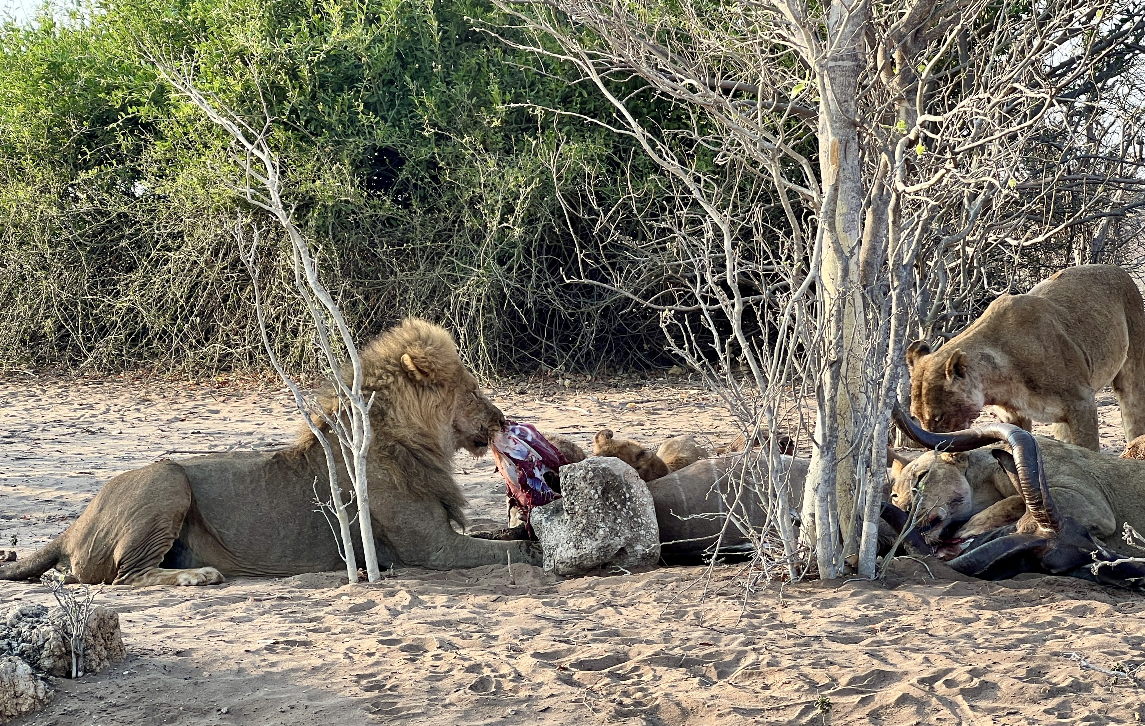
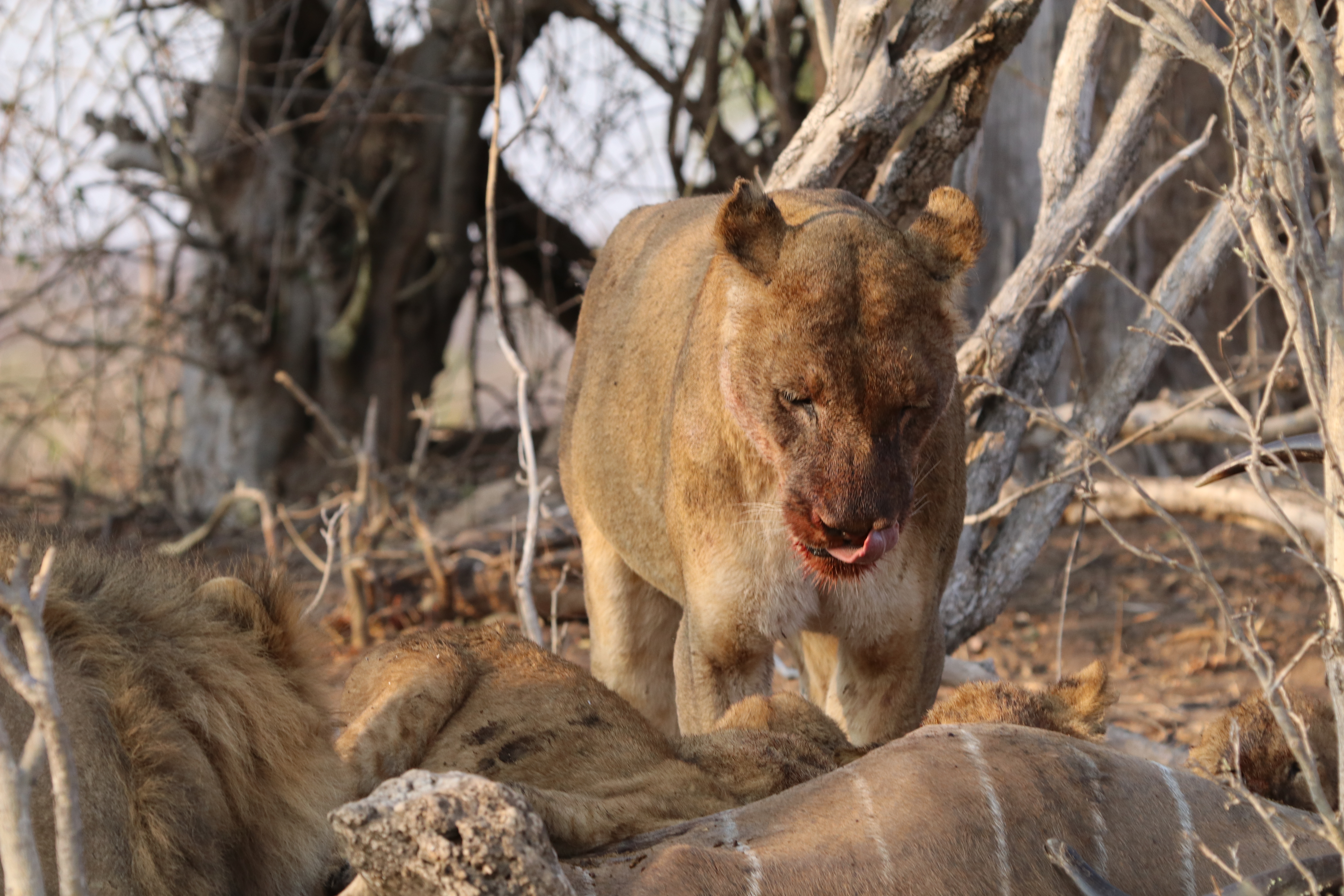

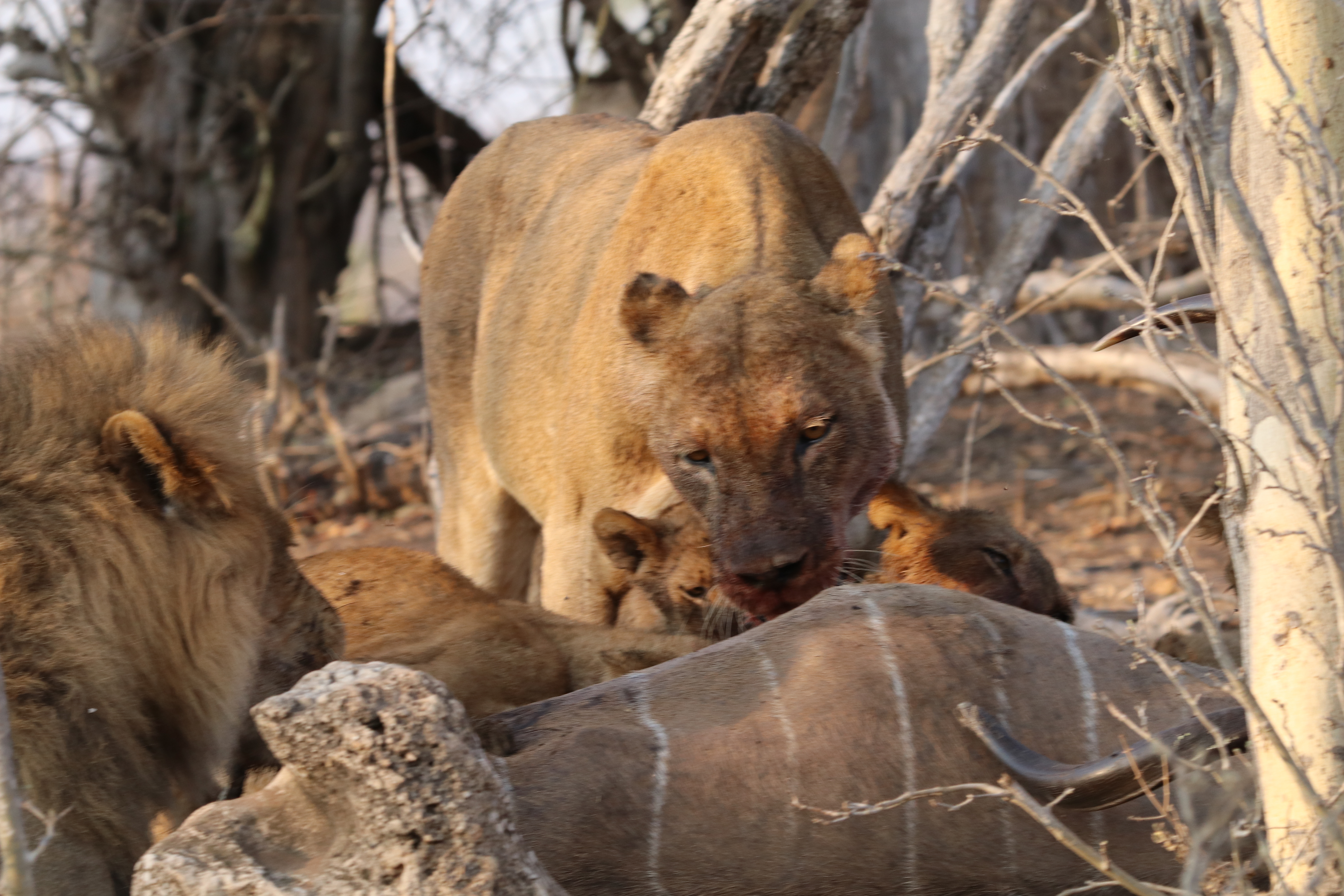
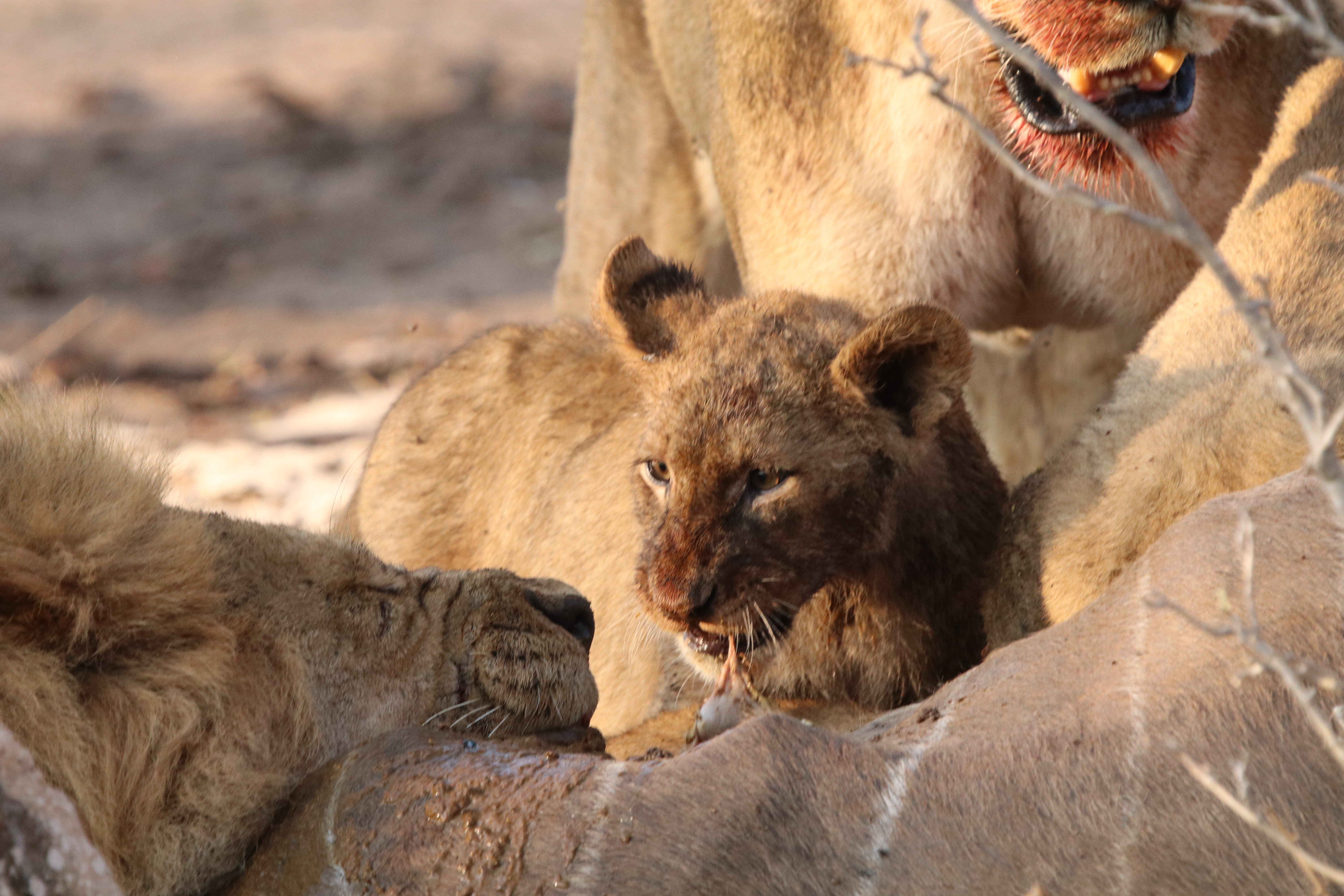
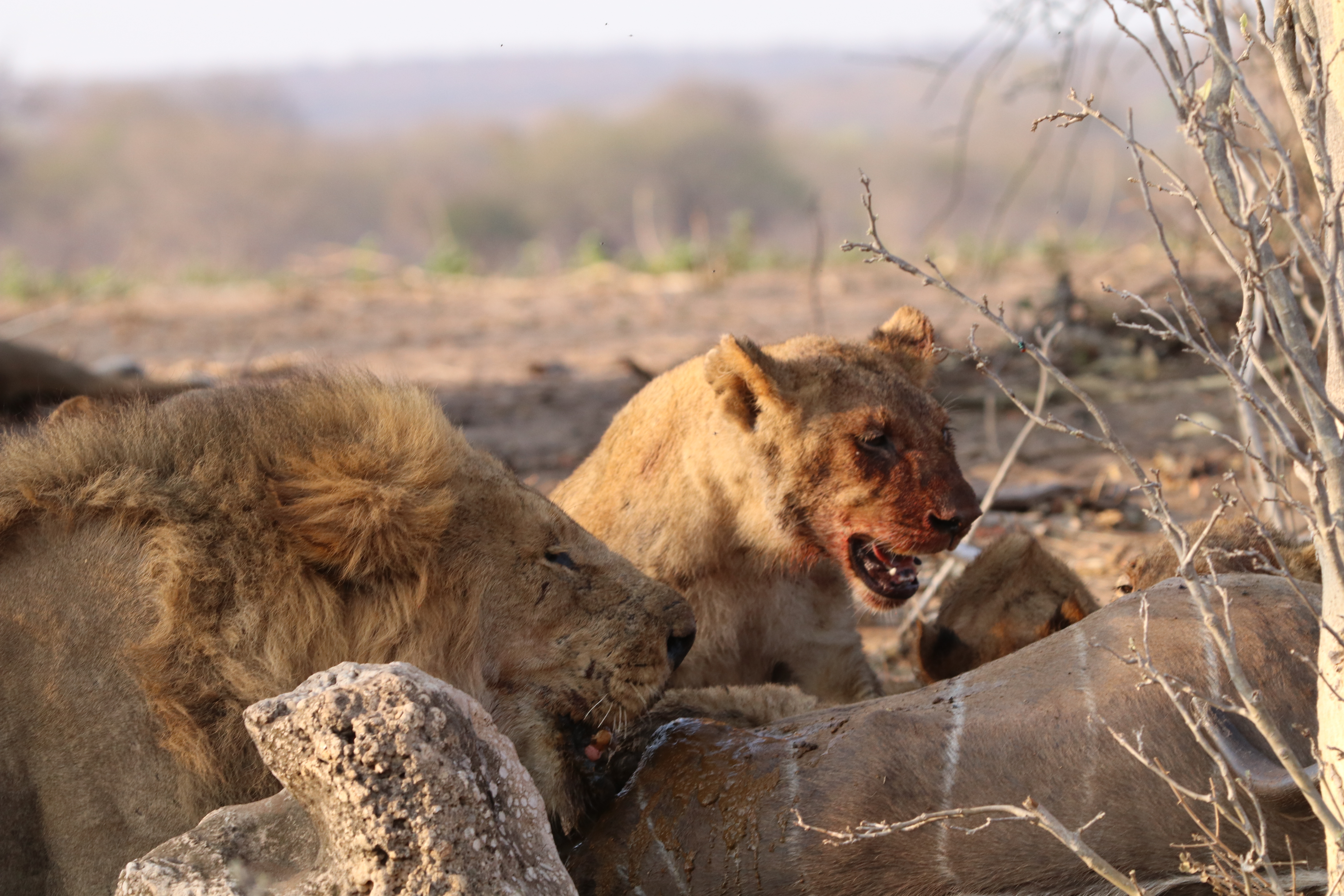
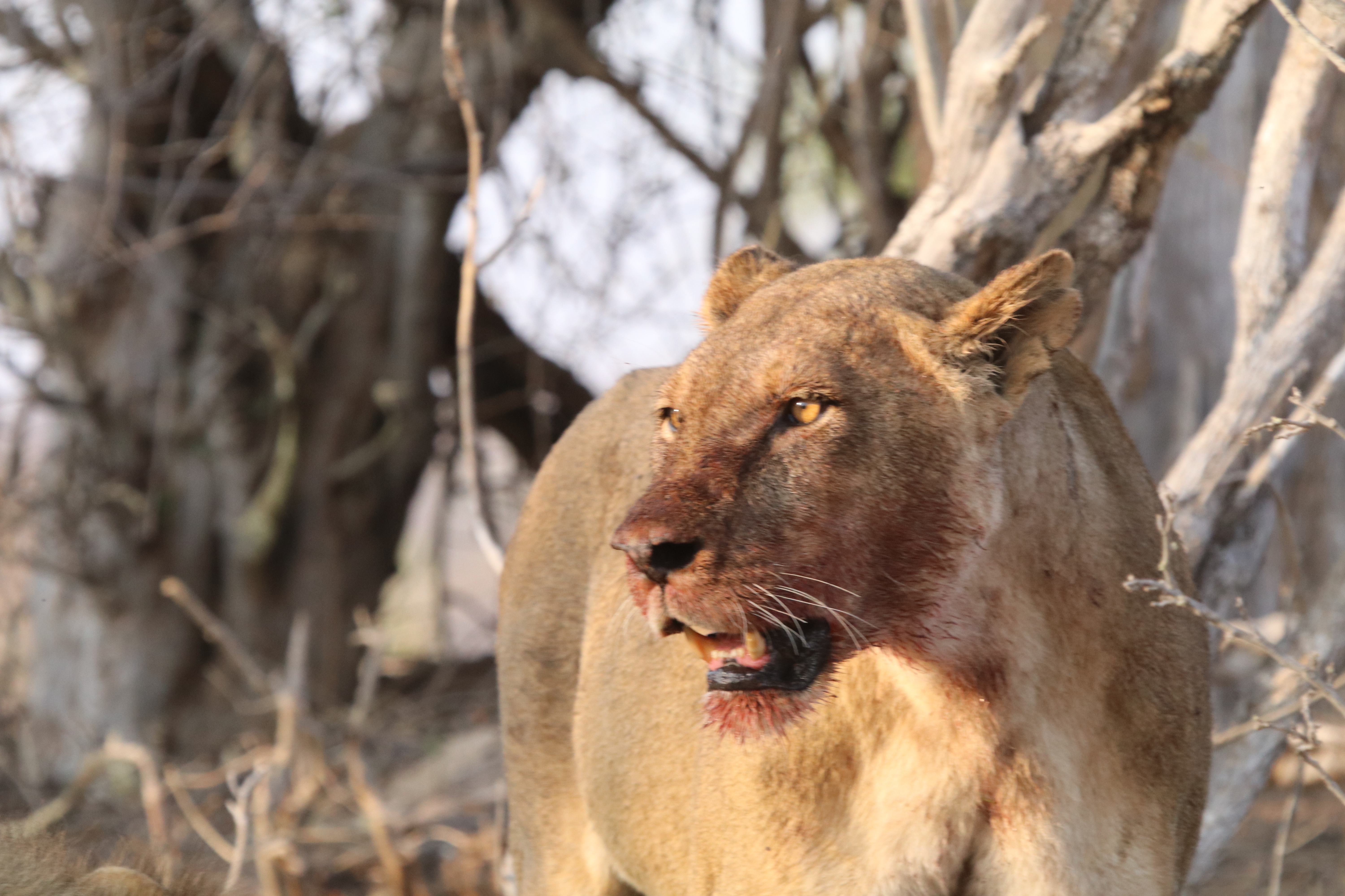
And so you can get a feel for it, there was quite a smell, here is video of the show!
Not much more to say! Back at the lodge for a late breakfast and then the transfer to Victoria Falls Airport for our flight to Nairobi. We did have the $US 60 for the Zimbabwe visa, so no dramas at the border. We did have a temperature check for Monkey pox, all clear. The Kenya Airways flight was running nearly an hour late and we didn’t get away till nearly 7pm. Got to our hotel in Nairobi about midnight for a good sleep. It had been a hectic couple of days.
The blog is now in real time and today we head off on a safari through Kenya and Tanzania. We may be off the air for about two weeks, depending on the internet.
Chobe NP
We have left Victoria Falls and found our way to Cresta Mowana, a lodge bedside the Chobe River in Botswana. Once we got going the road transfer took about an hour and a half. It involved a crossing of the border between Zimbabwe and Botswana.
Australians need a visa to get into Zimbabwe, but not Botswana. We had got a single entry visa for Zimbabwe before leaving Australia and had used it when coming in on the train from South Africa to Victoria Falls. It was a quick rubber stamp job exiting Zimbabwe.
Getting into Botswana did though involve a bit of paper and foot work. We had to complete a two page questionnaire to self declare that we did not have Monkey Pox symptoms, we didn’t seem to have any. We then had to walk through a shoe bath to disinfect for Foot & Mouth disease, as well as dunk the soles of any other shoes we had. We were told Botswana was a big exporter of beef to Europe and were somewhat focussed on keeping the disease out, ‘like you in Australia’.
The slight issue we had though was we did not have a visa to get back into Zimbabwe, we needed to do that for a flight from there to Kenya the next day. Told there were no worries in getting a visa at the border on the way back, just had to have $US60. We would have to wait and see!
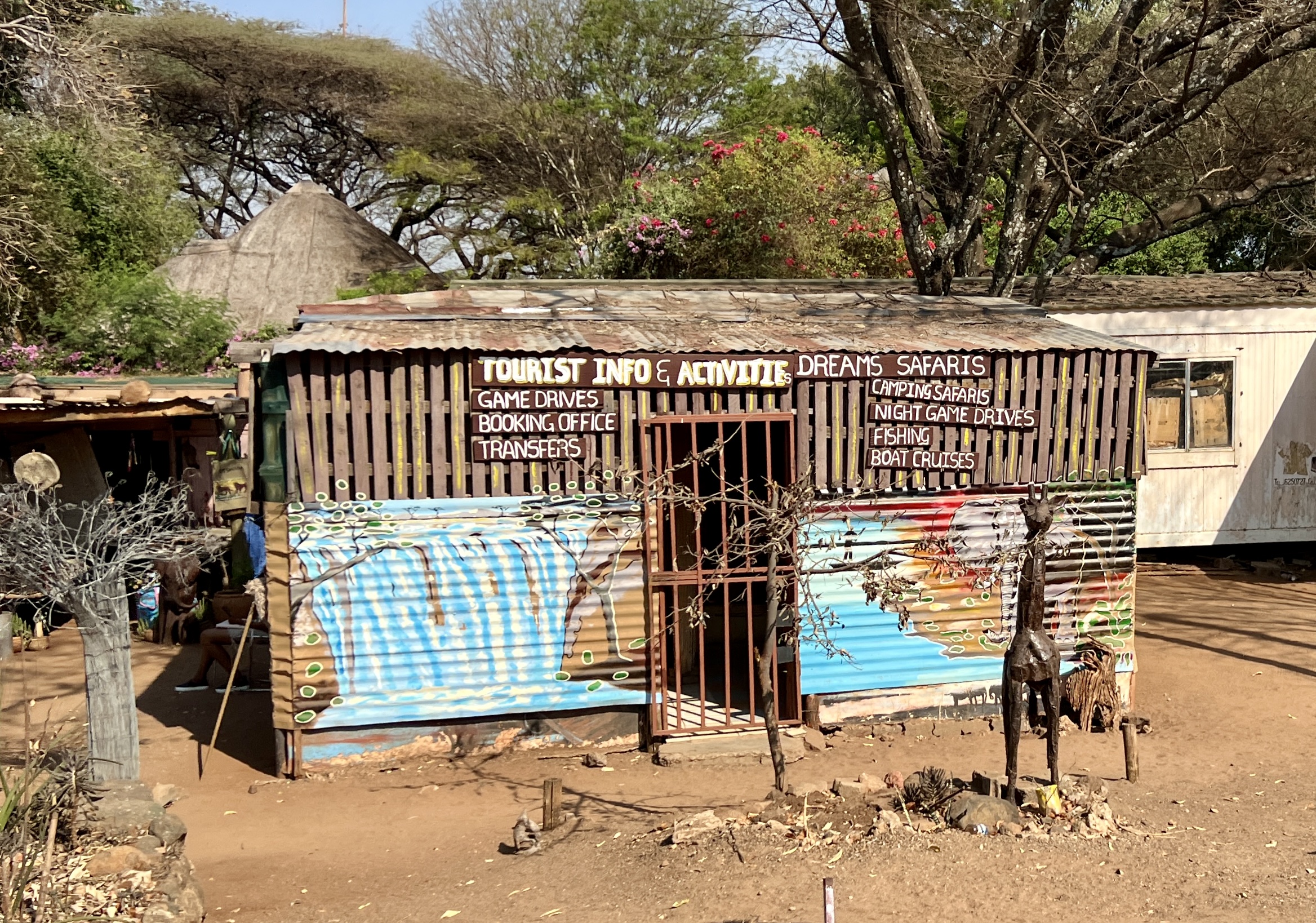
The local Chobe tourist info centre.
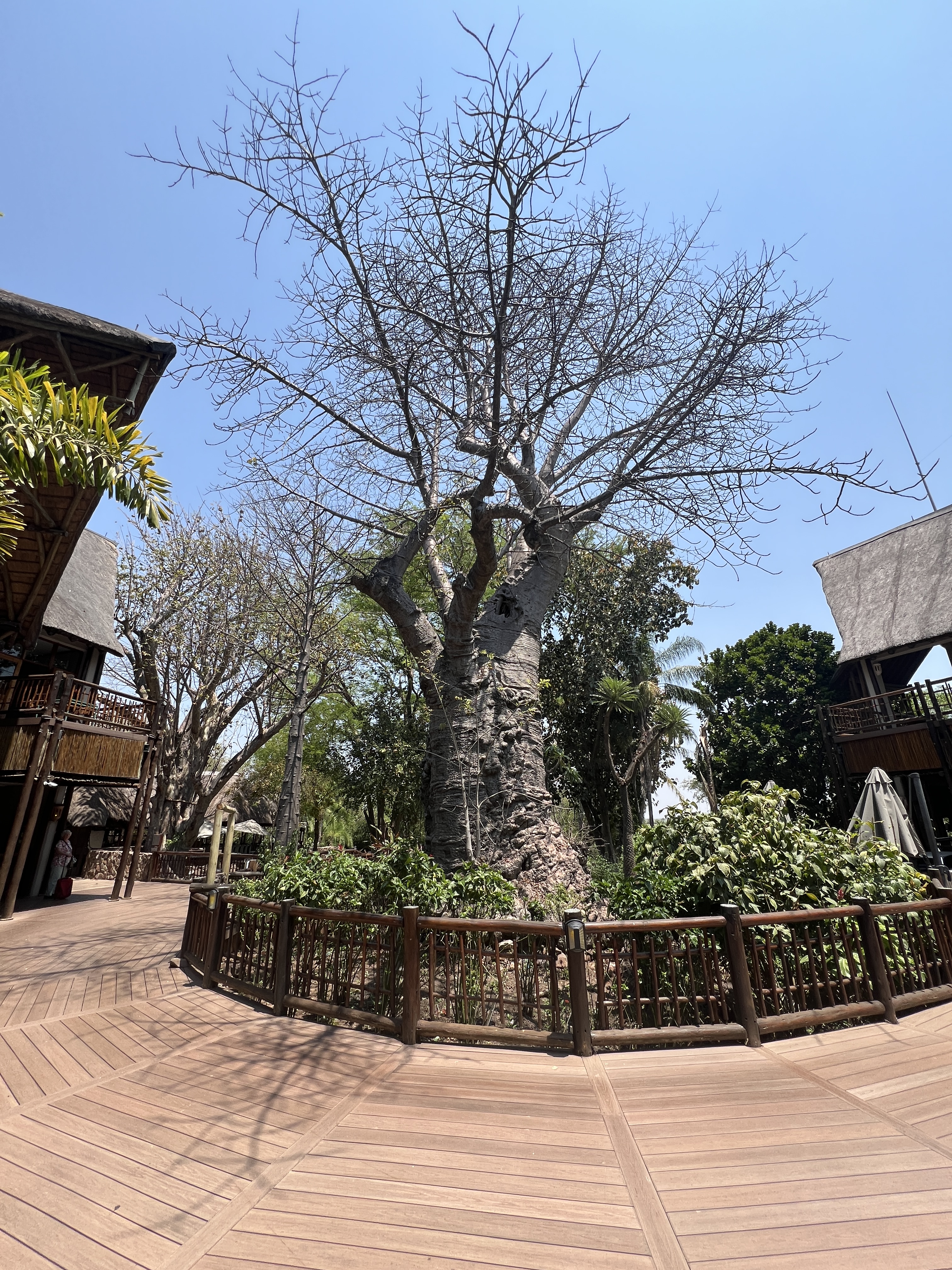
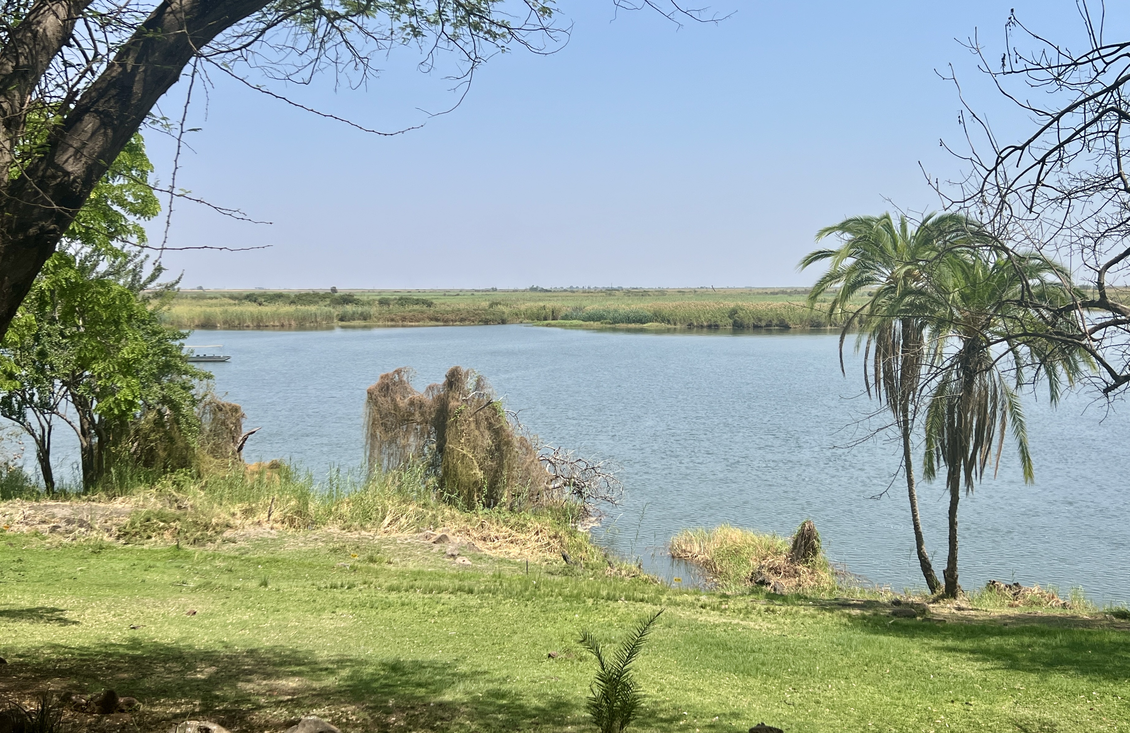
’Mowana’ means ‘tree of life’ (Cresta is a hotel chain) and there is a big boab in the courtyard of the hotel. An even bigger one is at the road entrance into the property. Our room has a great view out over the river and the Namibian flood plains on the other side. The Chobe River is a tributary of the Zambezi and forms the border between Botswana and Namibia.
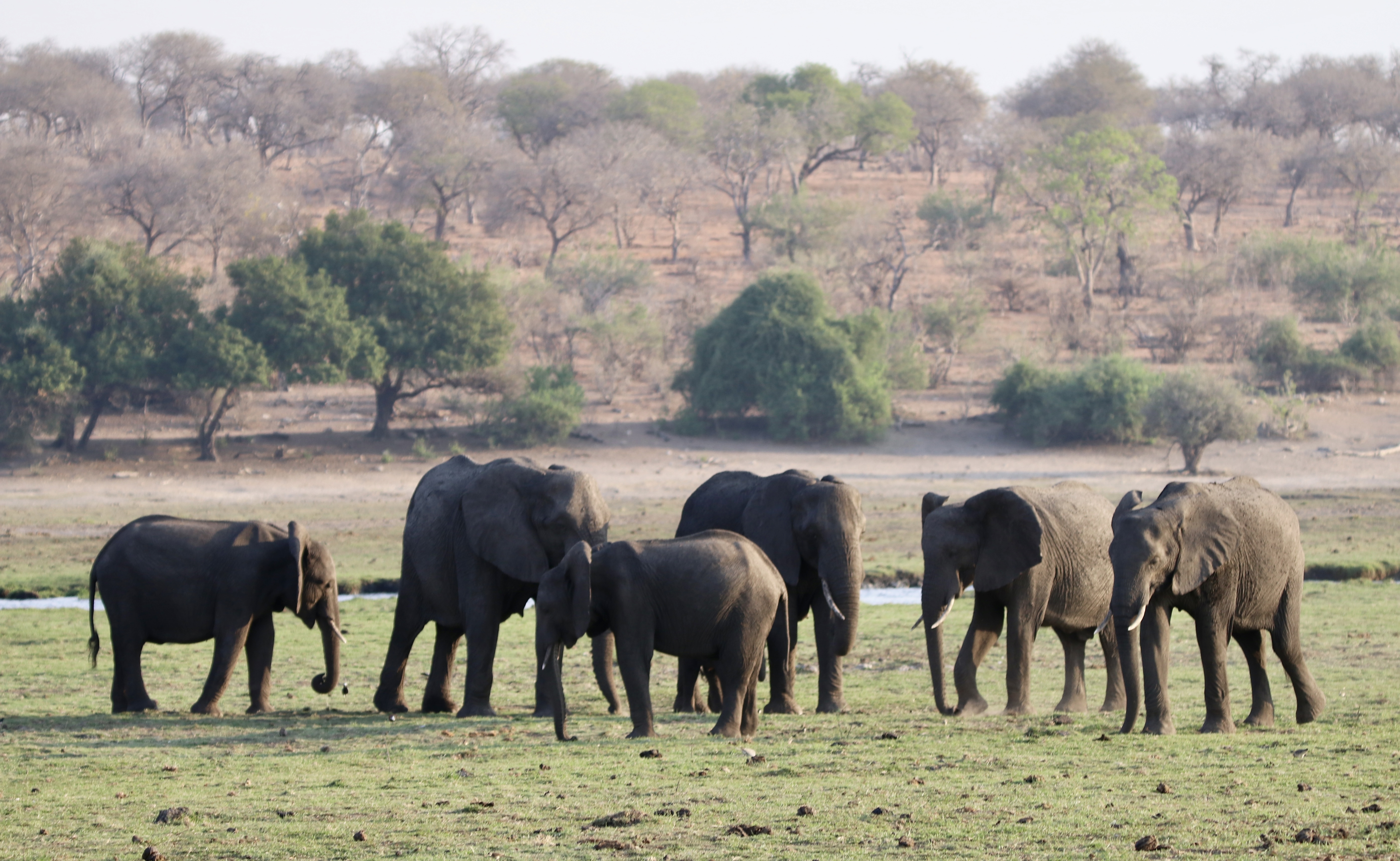
The trip here is go go. On arrival we have a quick late lunch before departing on a sunset boat cruise on the Chobe River into the Chobe NP. Botswana has the biggest concentration of Elephants in Africa, in excess of 80,000 and a lot of them are here in this park. So we hoped to see some.
Crocodiles abound as does the Hippo, and we see one open its jaws, in the video below. It goes for a little while, the action is towards the end.
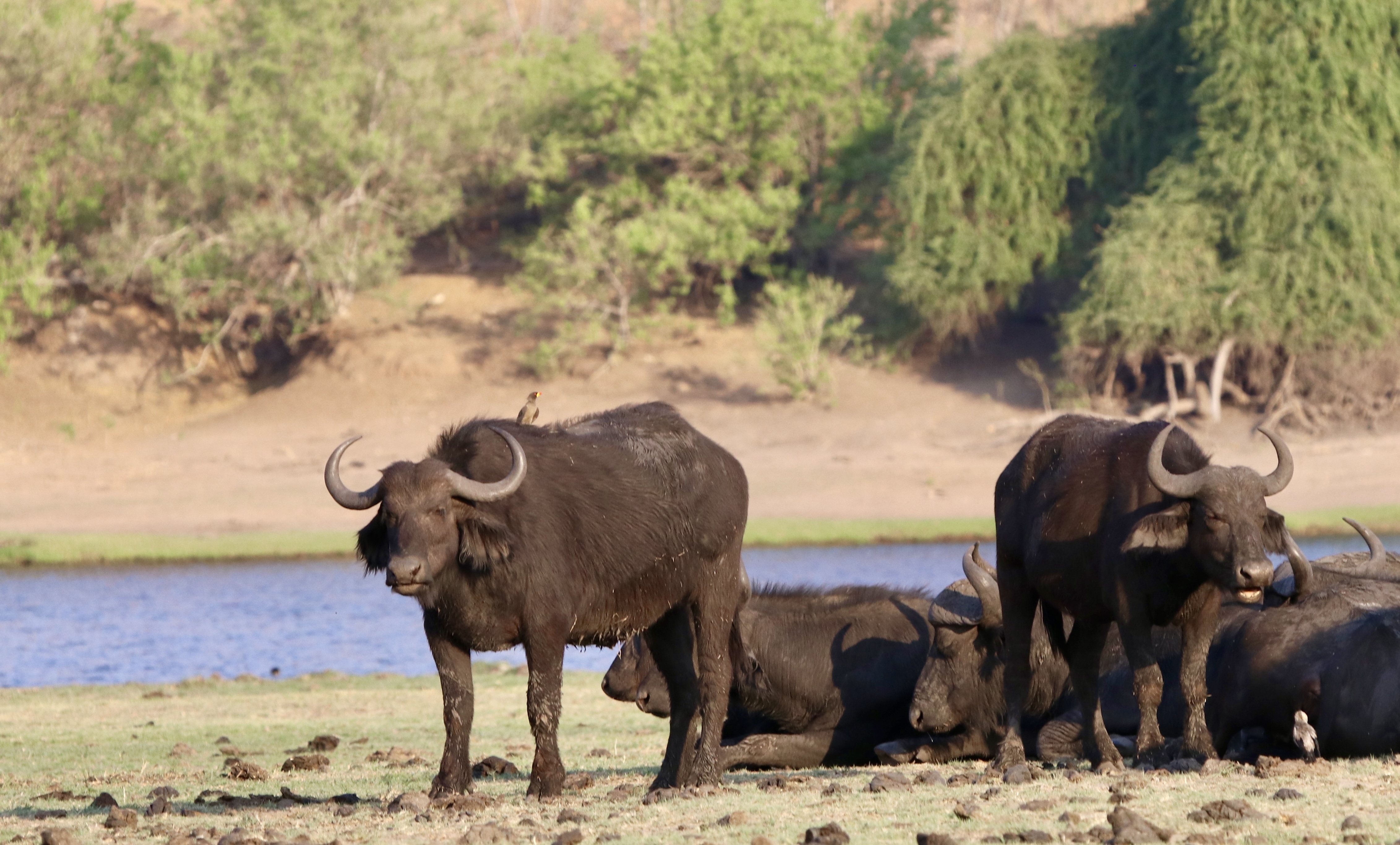
The Cape Buffalo is also plentiful. This Big 5 member is not a water buffalo like Crocodile Dundee subdued in the movie. The Cape Buffalo is considered the most dangerous animal in Africa.
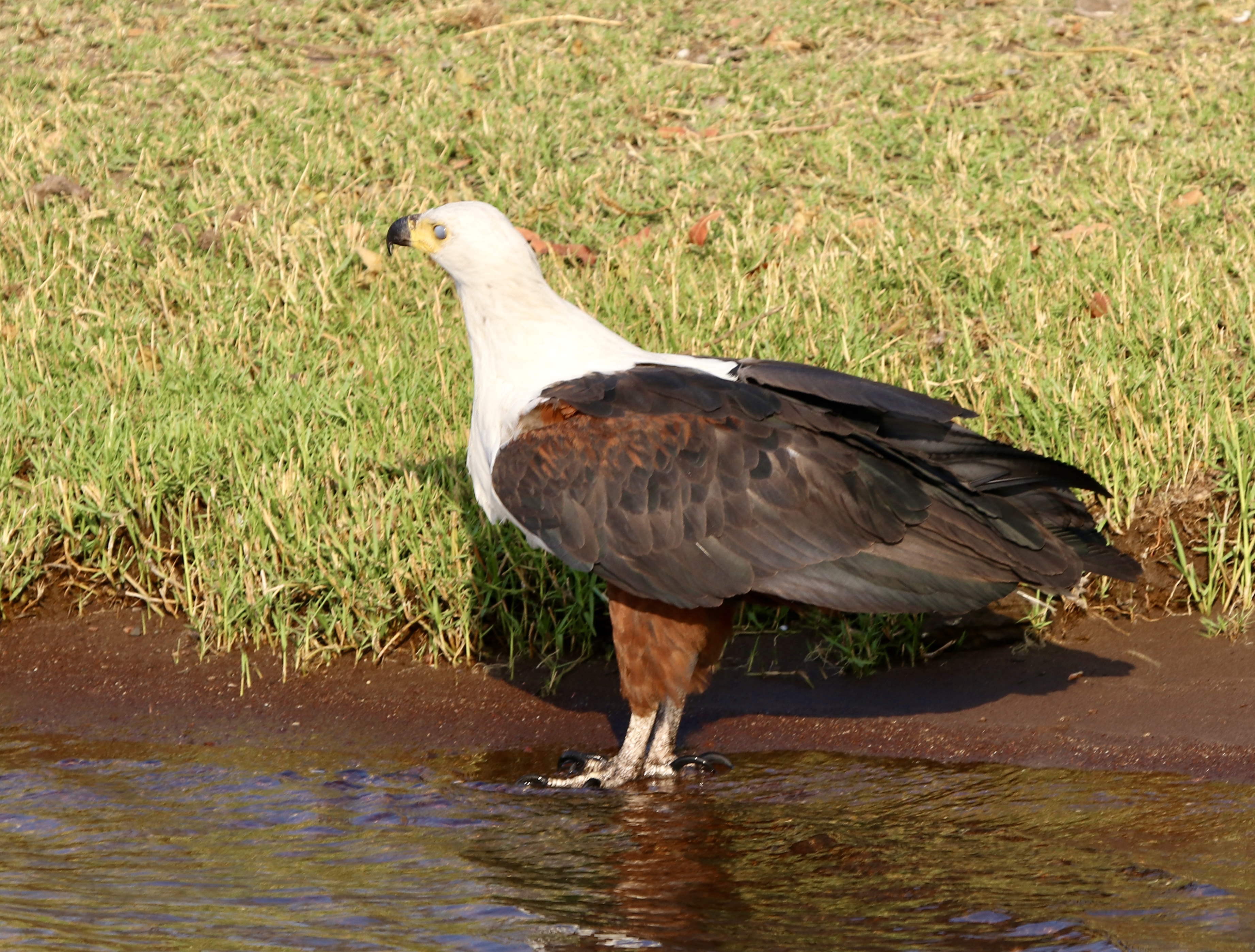
Also quite a lot of bird life, this one is a bit like a sea eagle back home, but here by the river.
But, back to the elephants, here is a baby beside the mother.
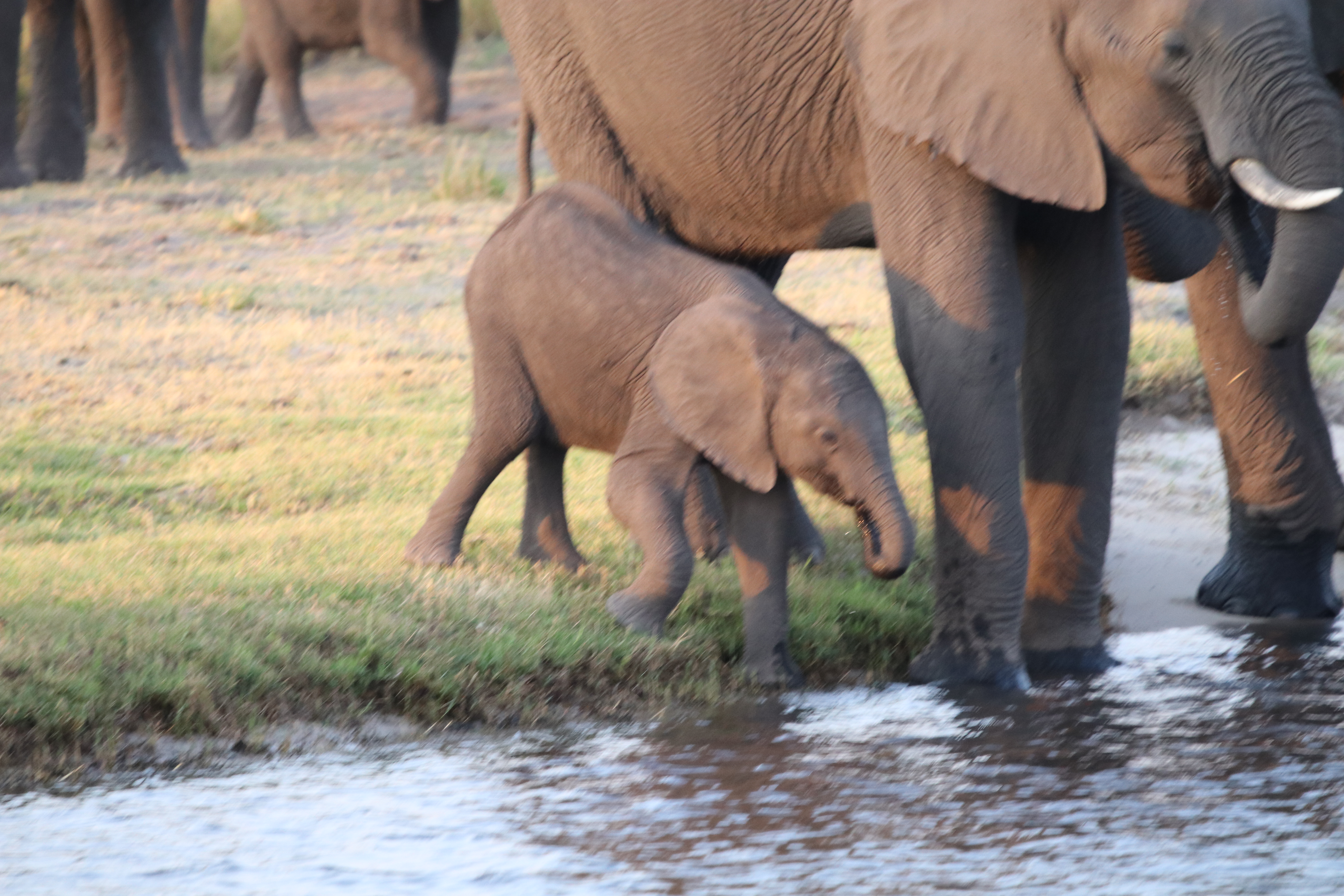
The whole herd then commenced a crossing of the river. They all lined up and away they went. Why? The guide suggested it was to get to the other side to feed on the shrubs and trees, where they had been was all grasses and they needed woody stuff for their diet. It looked spectacular, about half way the baby decided to turn back and all the other elephants circled around and ‘encouraged’ him/her on! That is what all the commotion in the water is about. All made it to the other side!
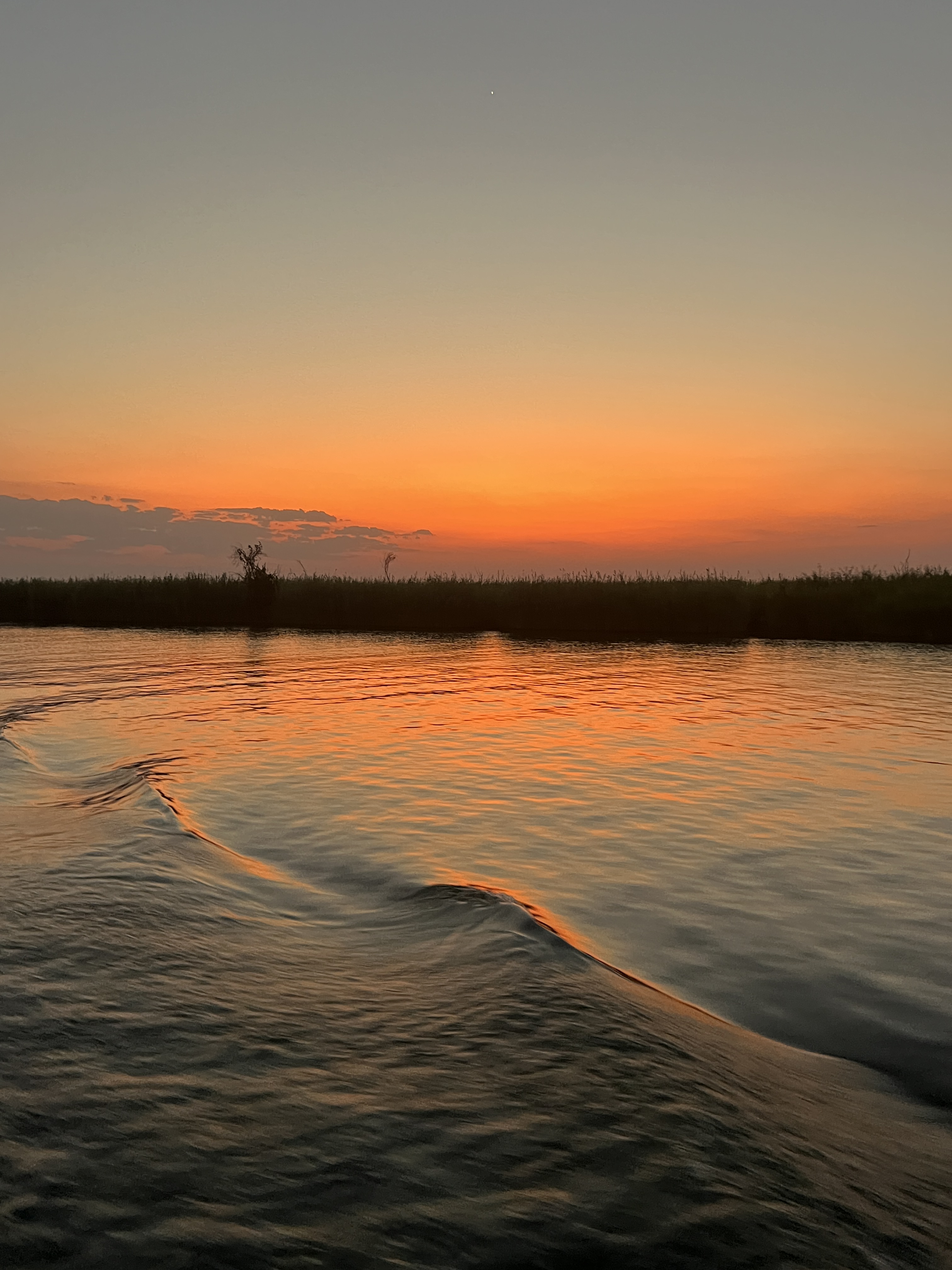
After this performance we headed back to the lodge as the sun went down.
In the morning we have 5am rise to join a morning game drive in the Park.
More Animals
We have had a couple of excursions at Victoria Falls to check out the local wildlife.
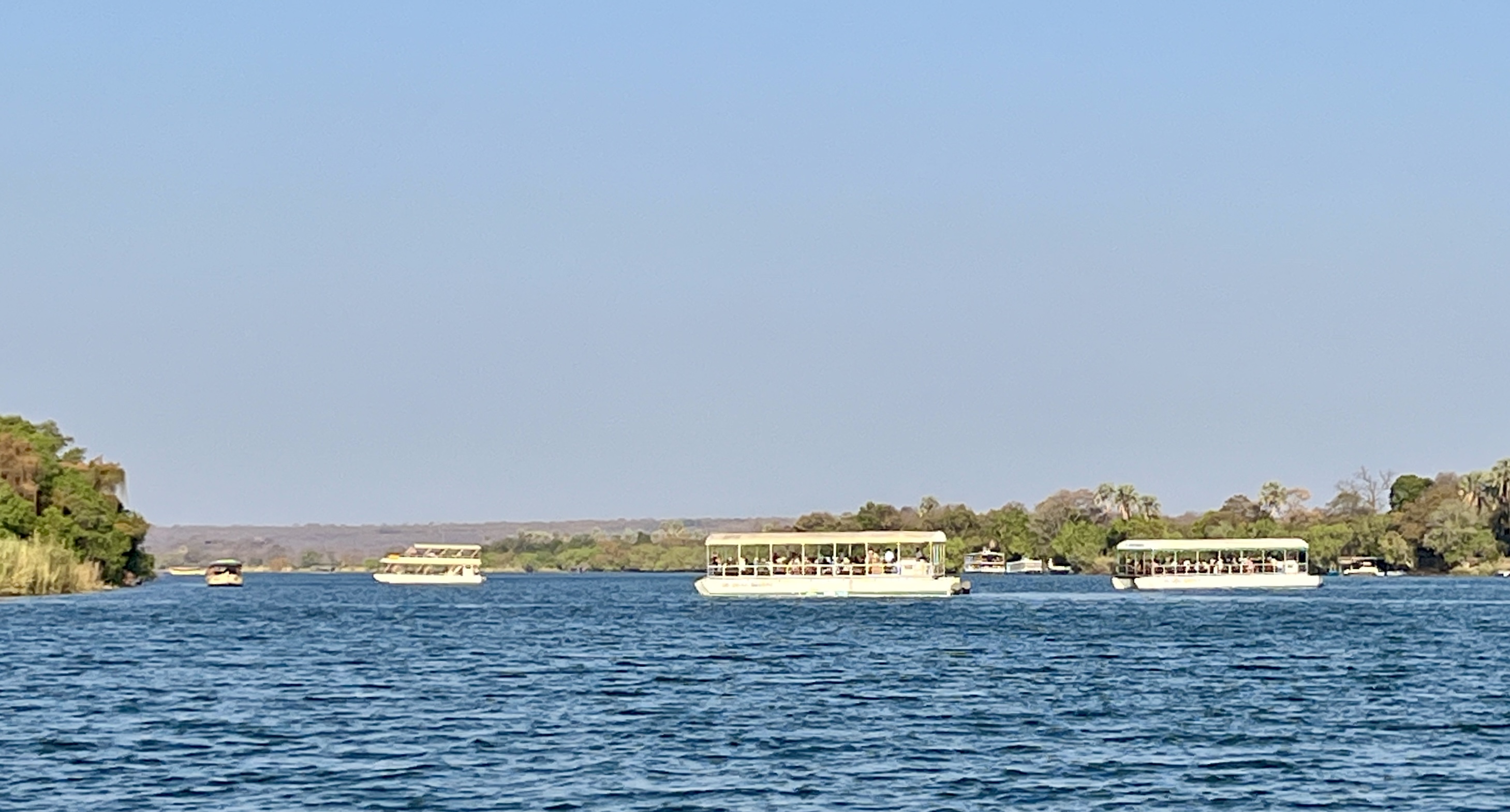
The first was boarding a river cruise on the Zambezi, above the Falls. It was one of those drifting experiences where you have anticipation of seeing a few animals but at the end it is the sunset that gets all the oohs and ahs! There were numerous boats out on the river, all shapes and sizes. Lovely warm weather.
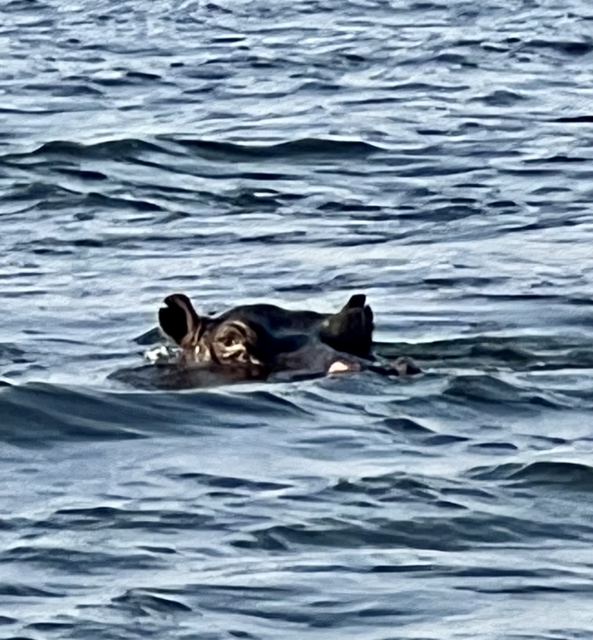
We did get our first hippo sighting. Heads protruding out of the water away in the distance.
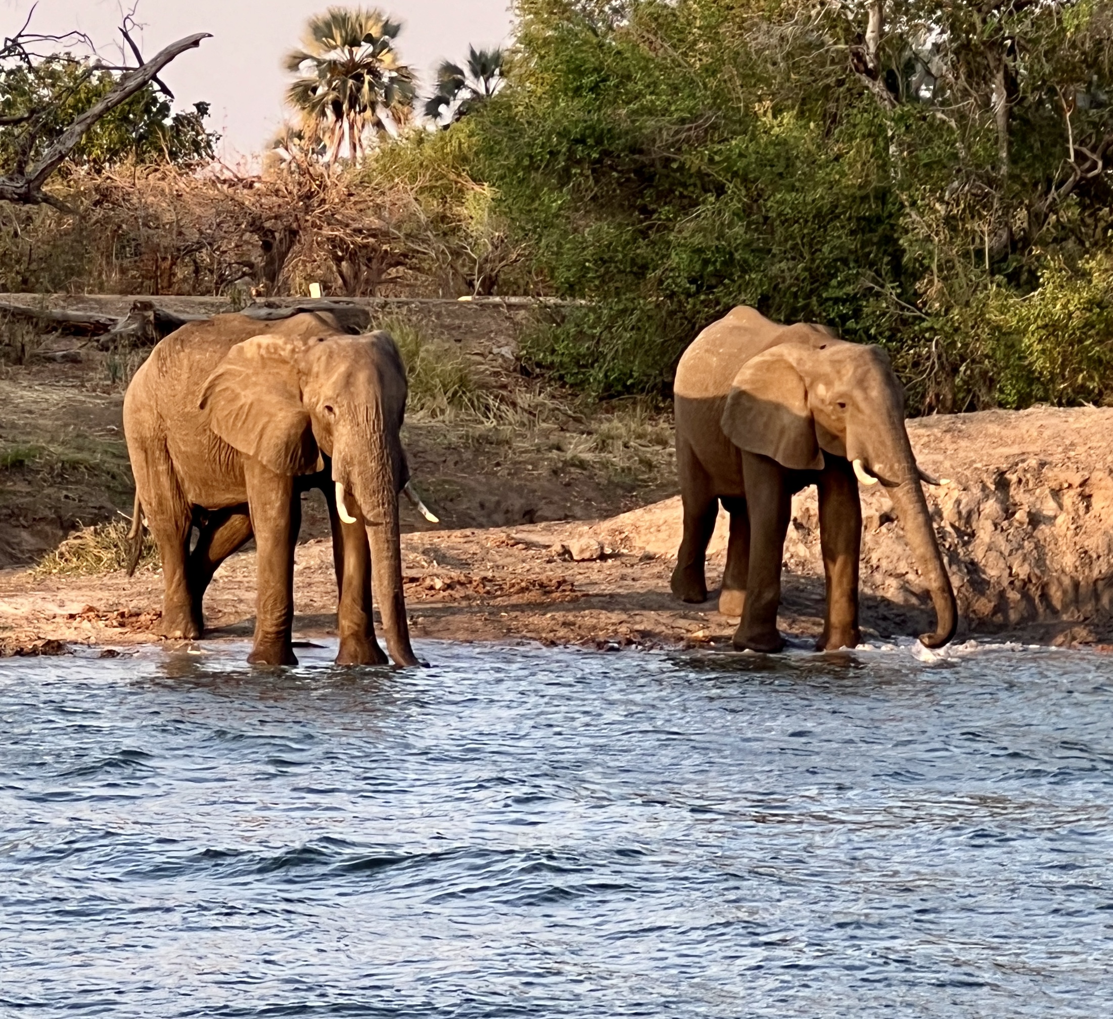
There were a couple of elephants at the water’s edge having a drink, their trunks can hold up to 15 litres of water. Quite a gulp!
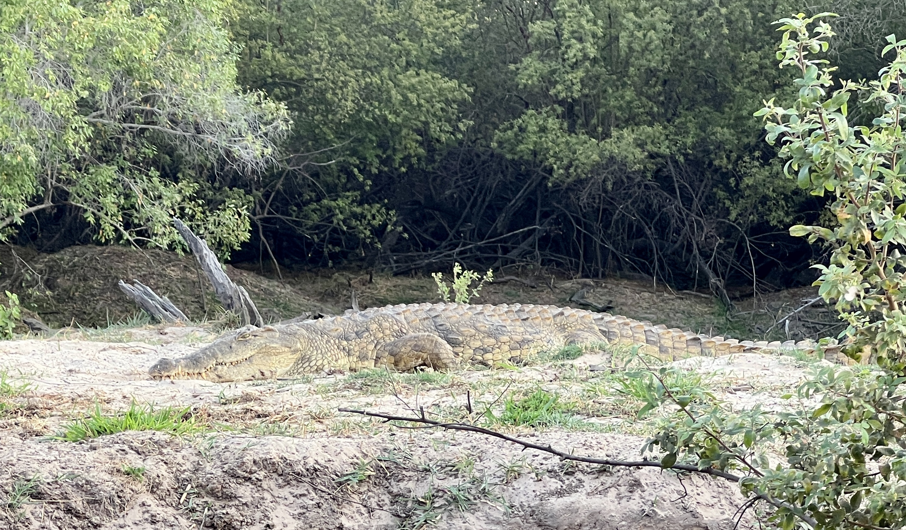
A small crocodile lay on the river bank, blending into its space. Very easily trodden upon! And the sunset of course!
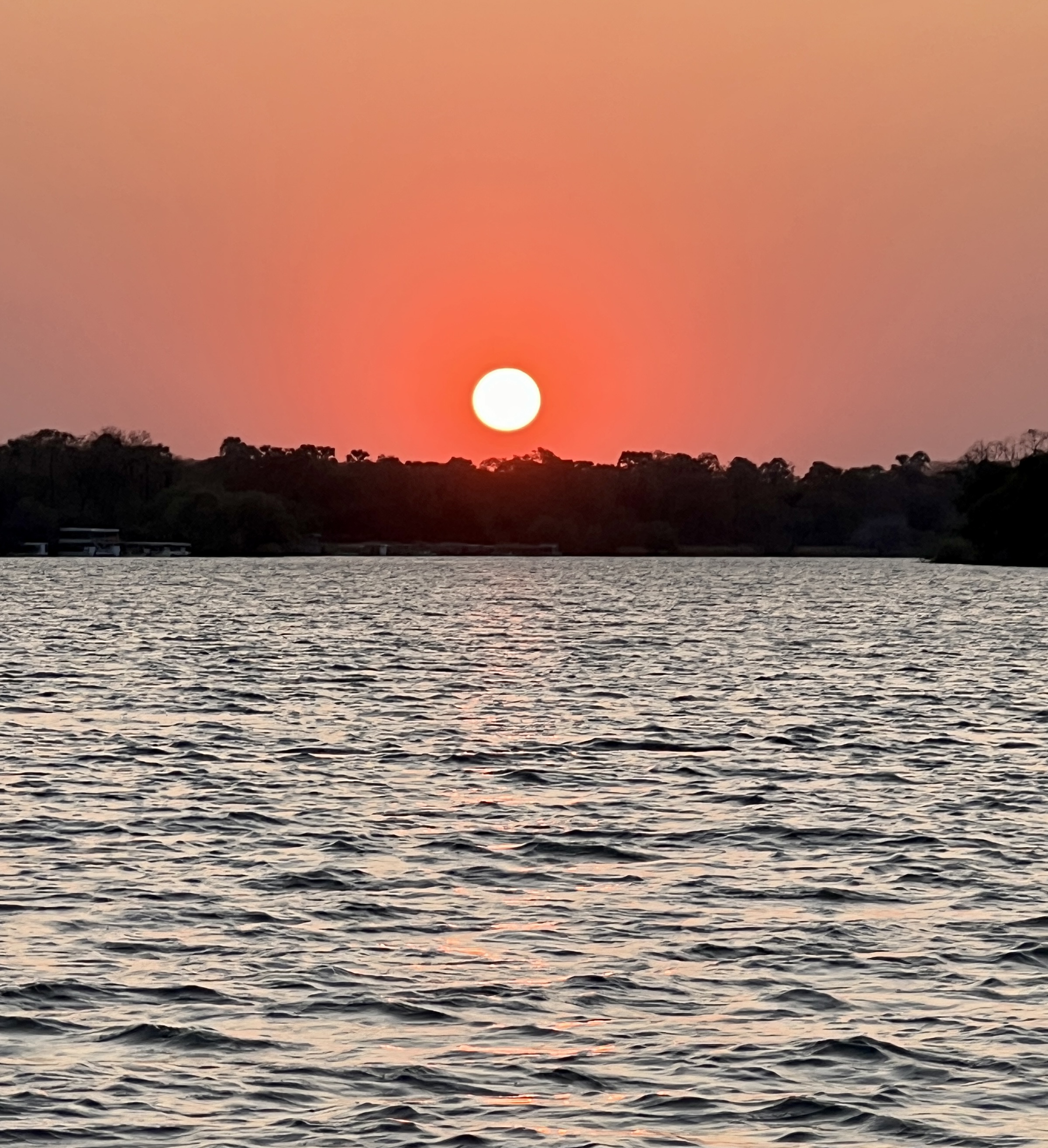
The water that the sun sets over appears to be slowly moving down stream to spill over the Falls, mist rises in the distance. Tempting to drift with the current, but no we head back to the dock before deep dark sets in.
Our second excursion took us out on a game drive in a private park. Hopefully, to see a fourth member of the Big 5. A Black Rhino.
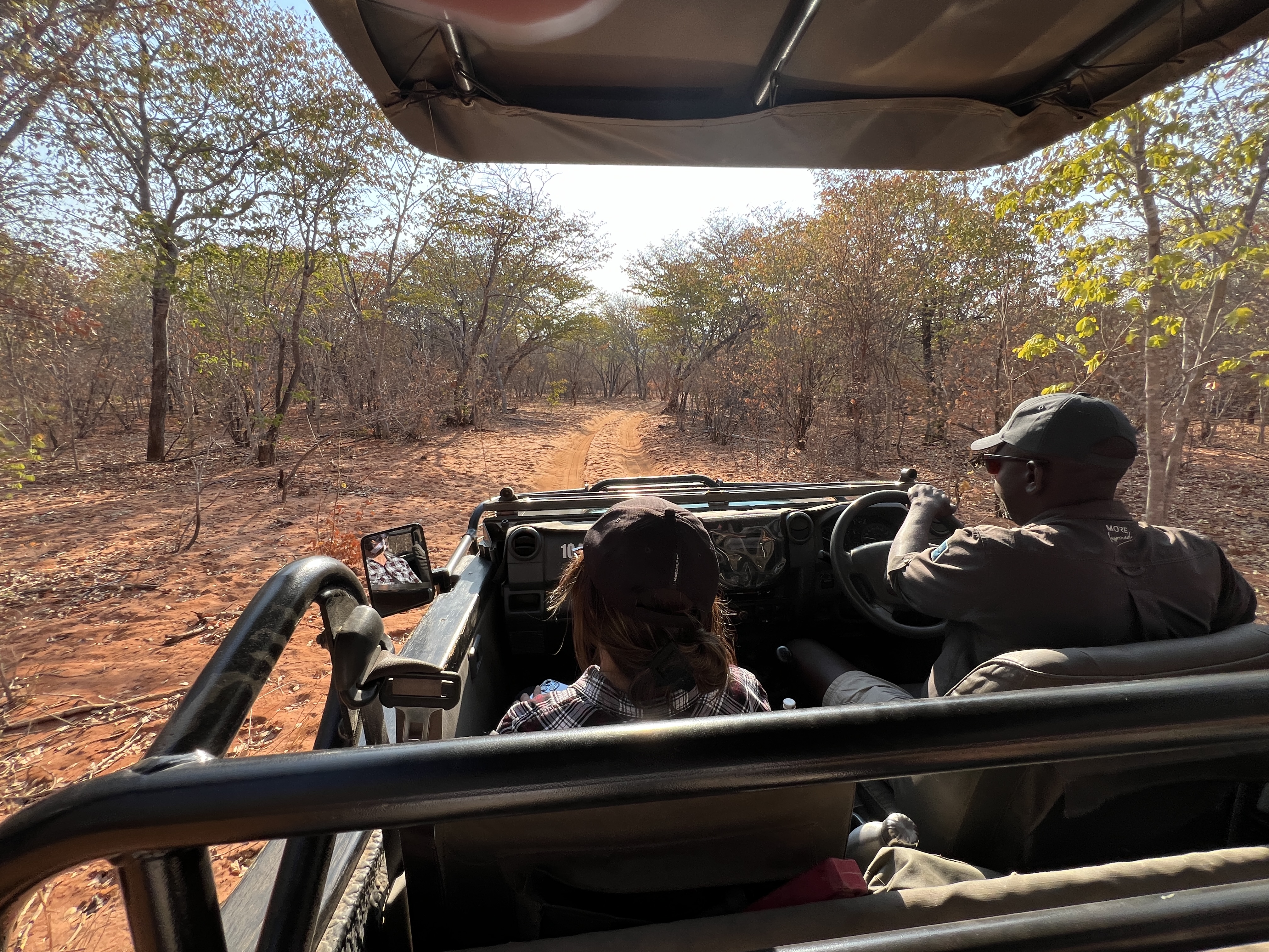
Our guide can make no promises. But, away we go in the late afternoon. We come across a few of the usual suspects.
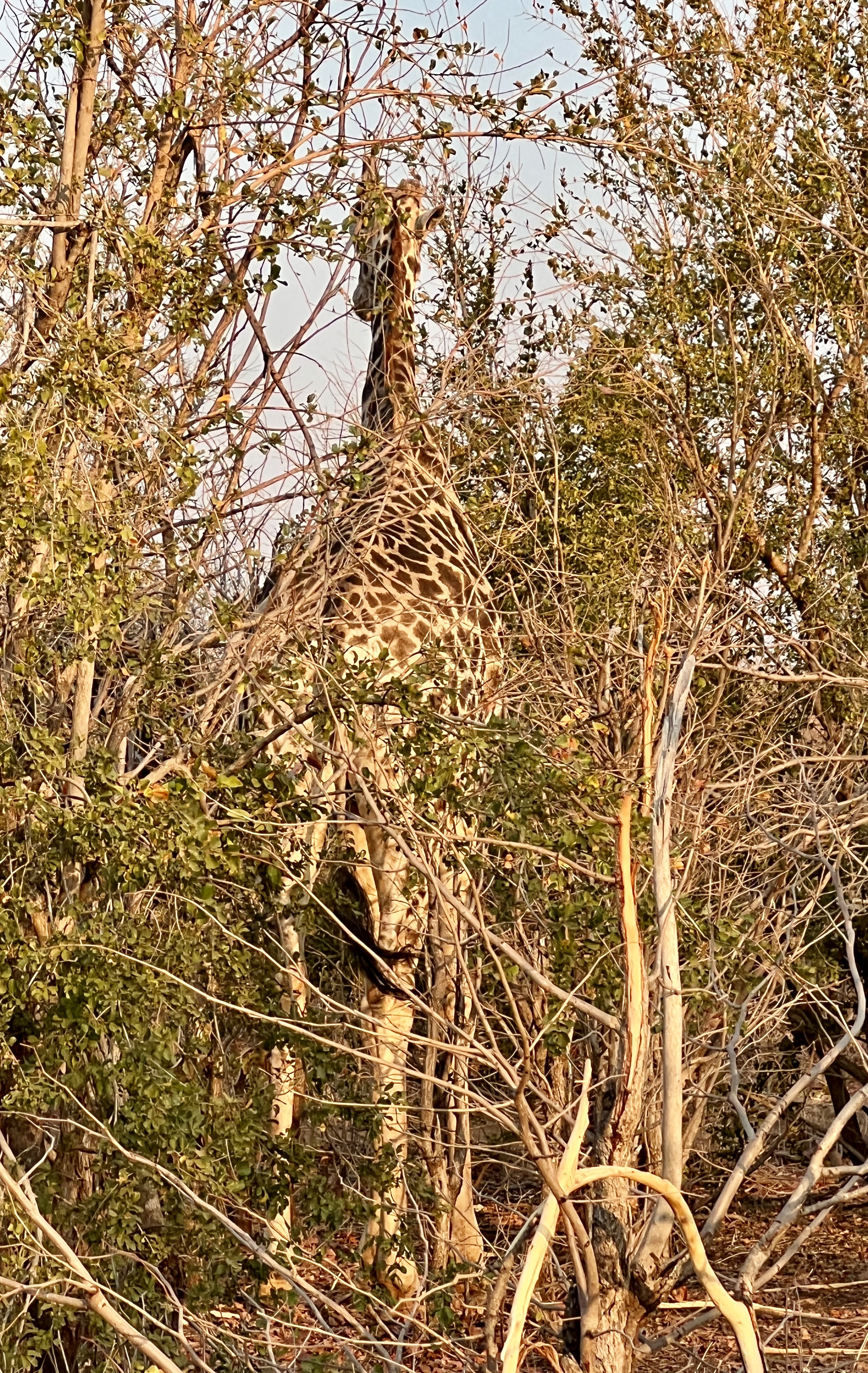
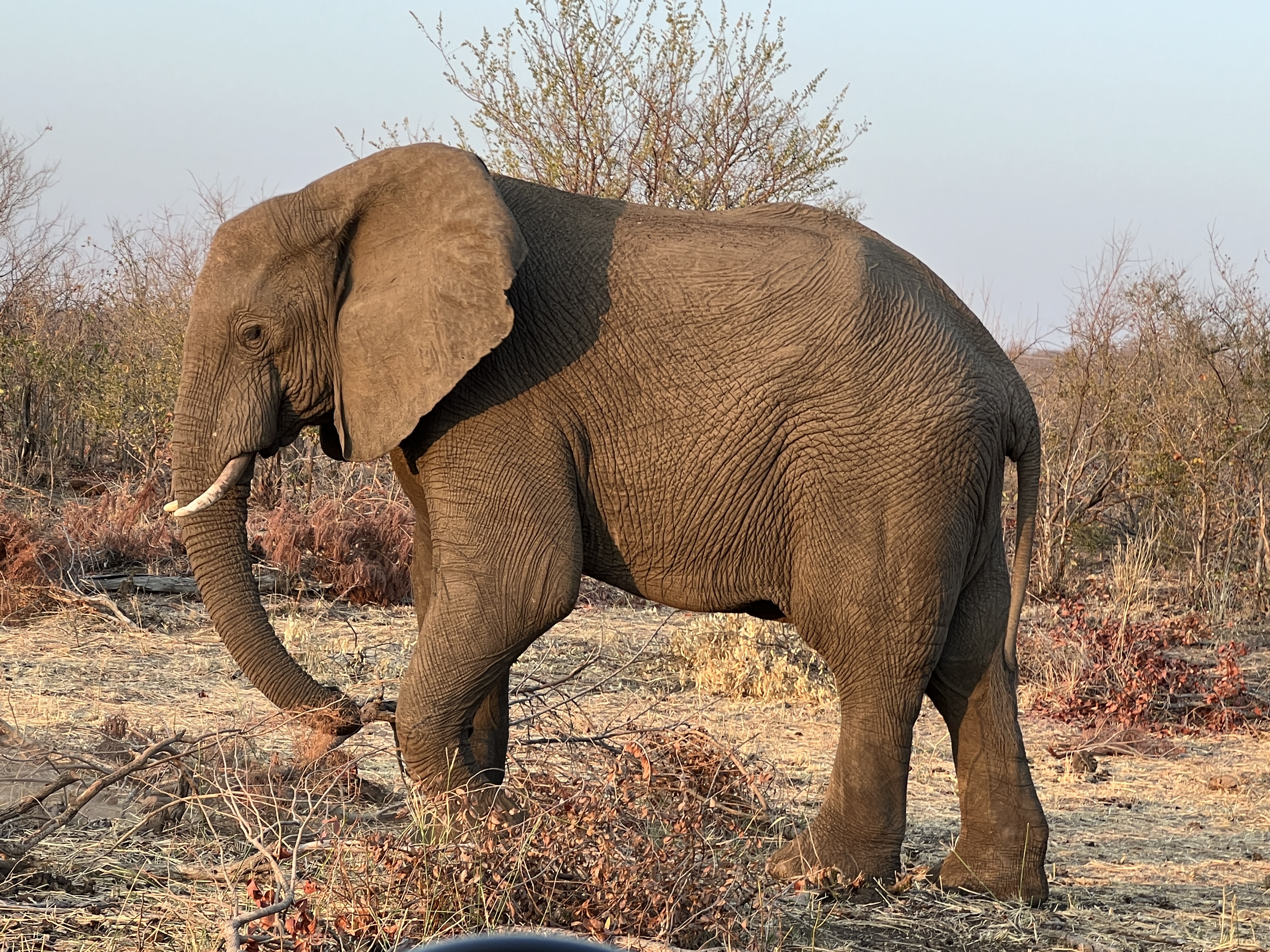
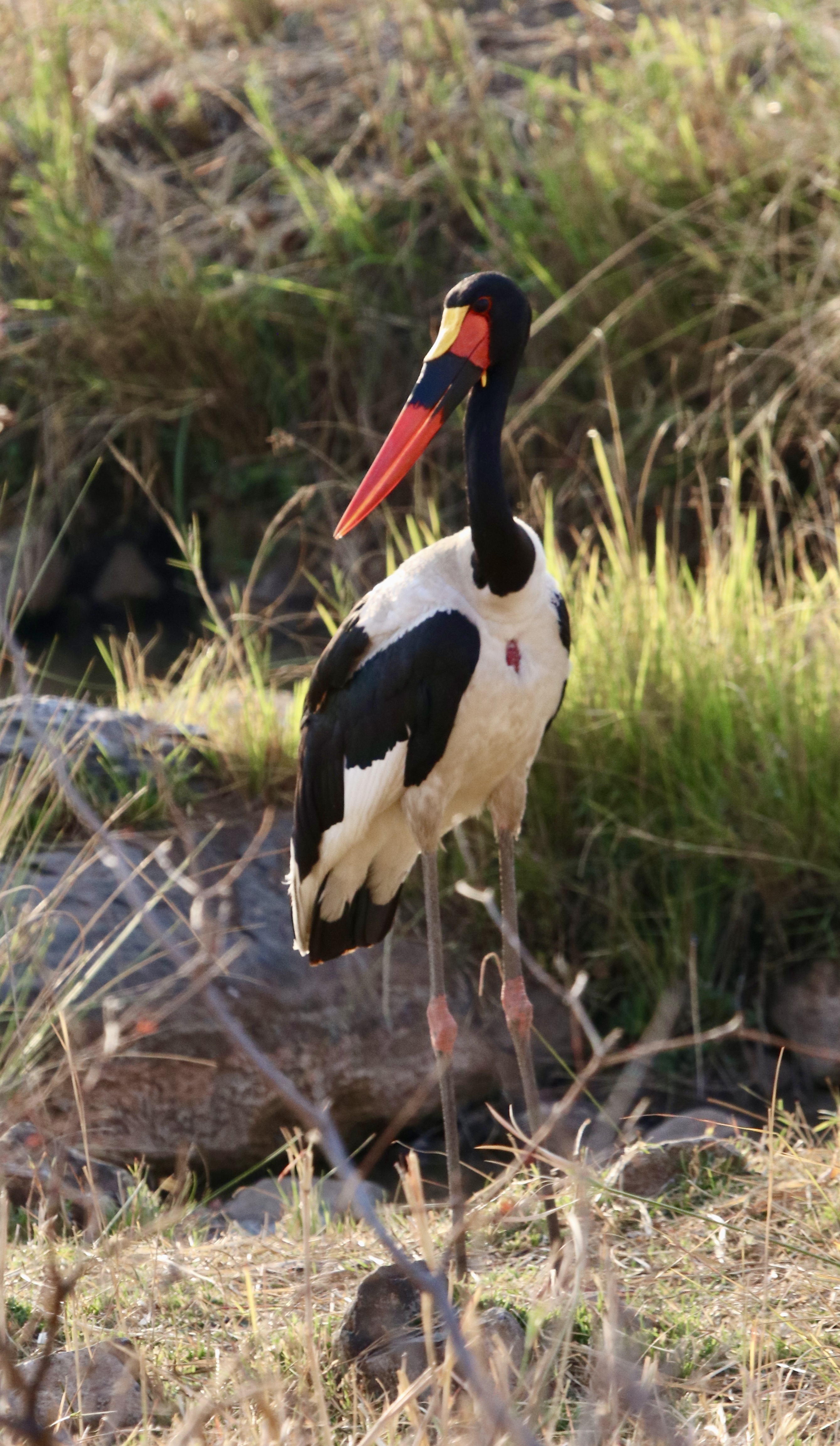
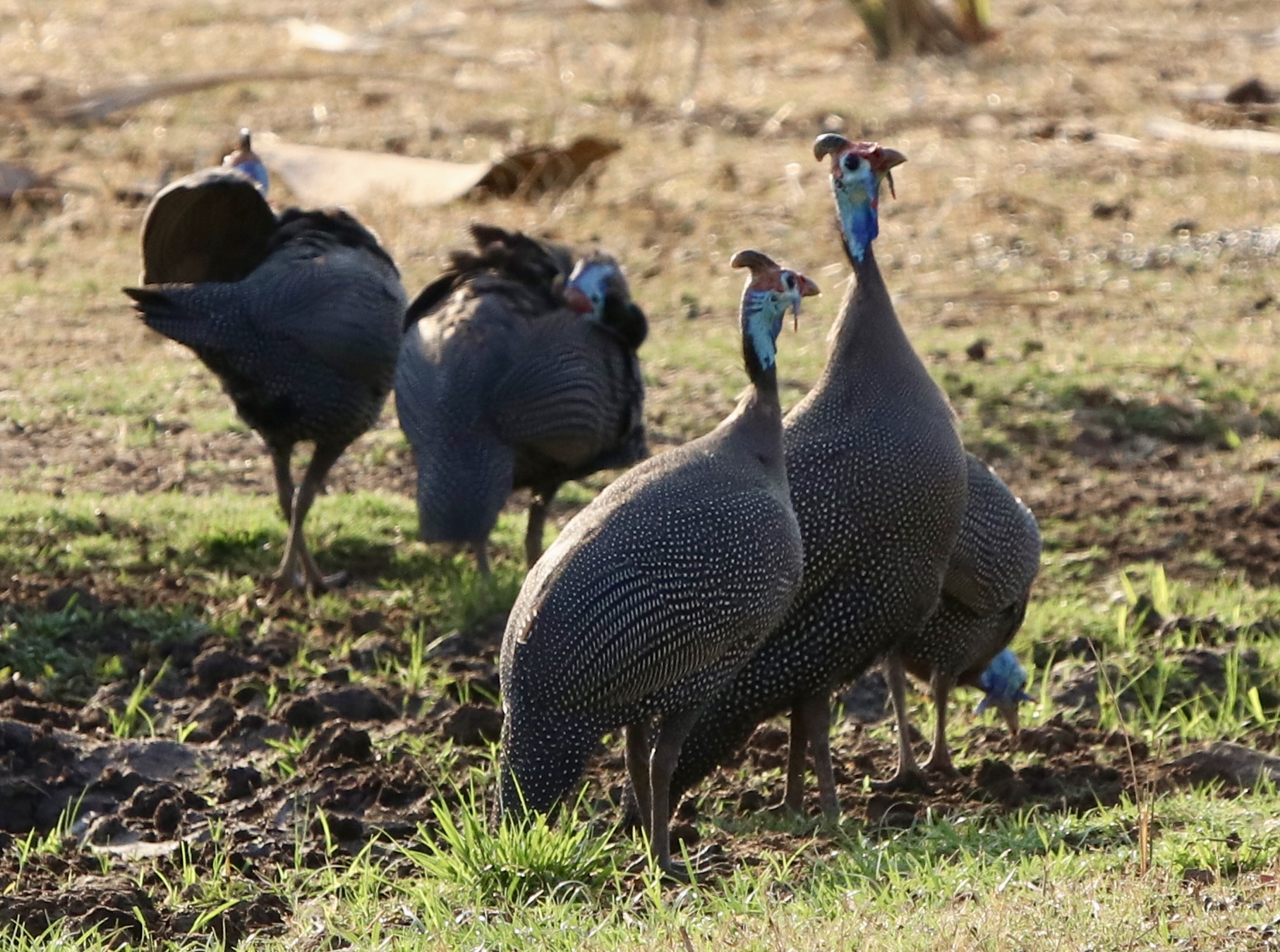
A stork was a magnificent colourful sight in the brown earthy background. Earthy coloured Guinea Fowl were also hanging around a waterhole.
We did have a couple of sightings of Rhinos in the scrub but couldn’t quite make any details out. We then came across a cleared patch of ground. There were two rhinos here. An old lady, thought to be 39. She showed her age with bony shoulders and hips pressing through her tough hide.
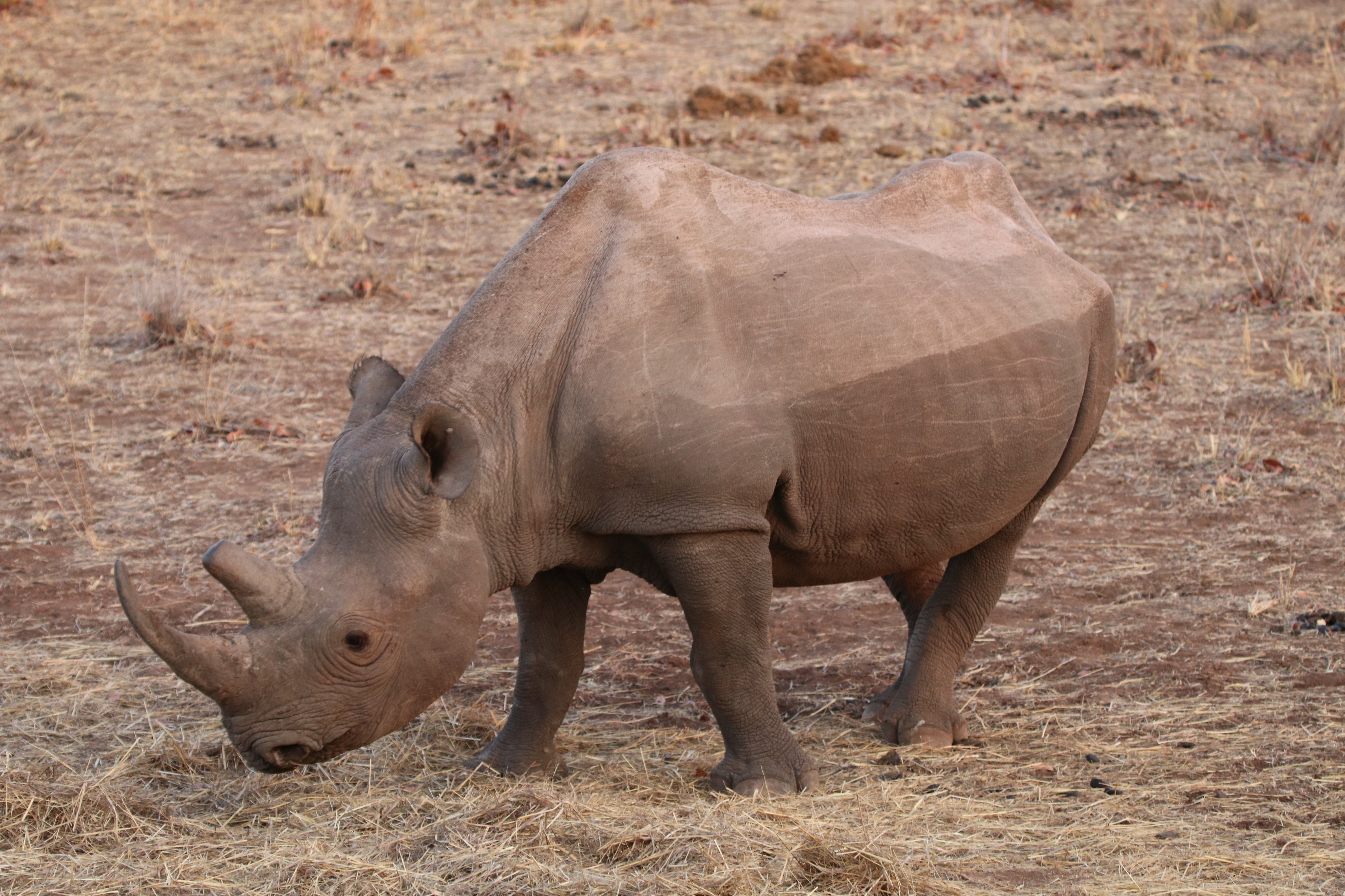
Our guide thought she was not long for it. Life expectancy is in the early forties.
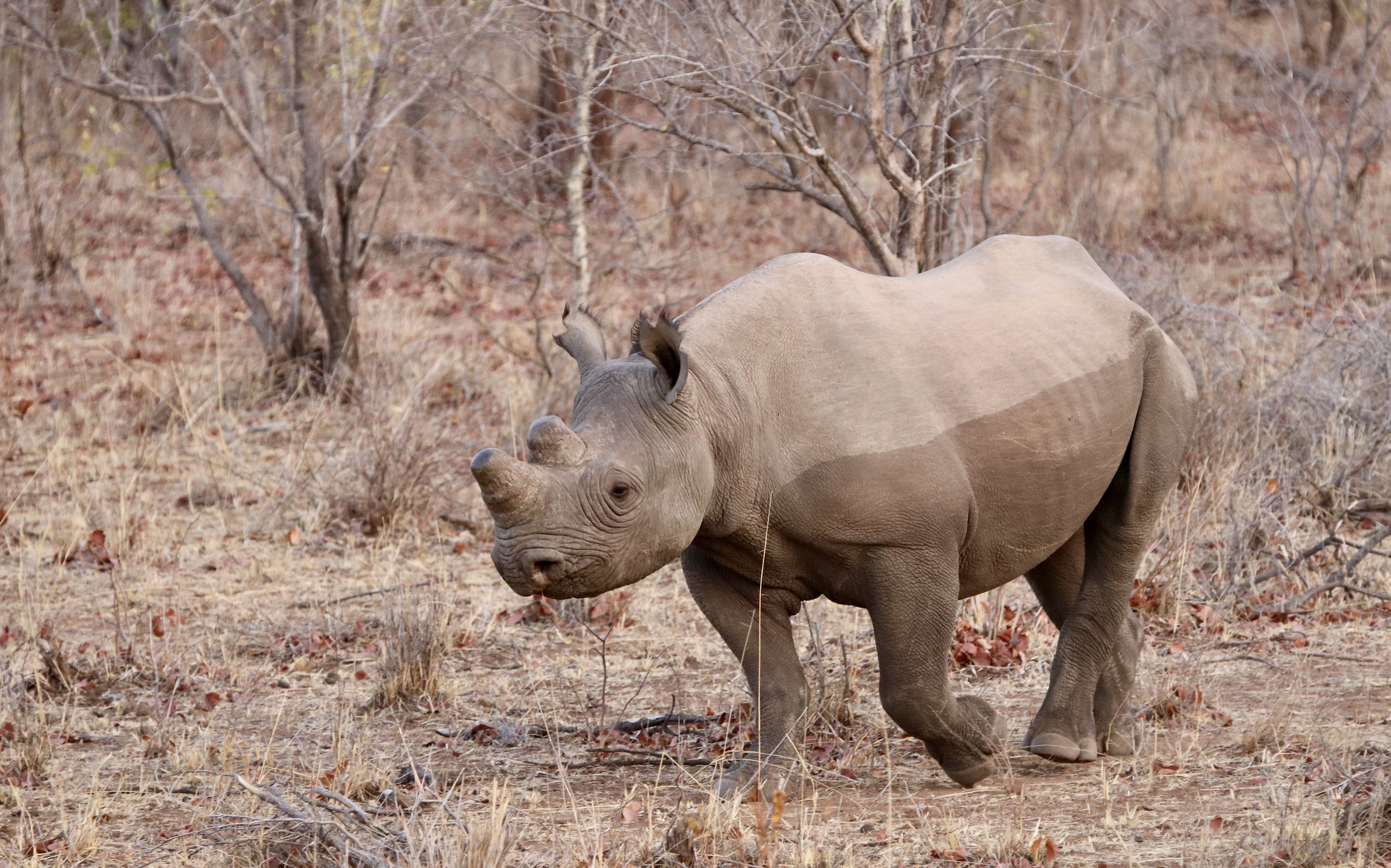
Nearby, was the much younger son, far fitter! A great sight.
Our time at Victoria Falls has drawn to a close and our next stop is in Botswana at a Lodge on the Chobi River.
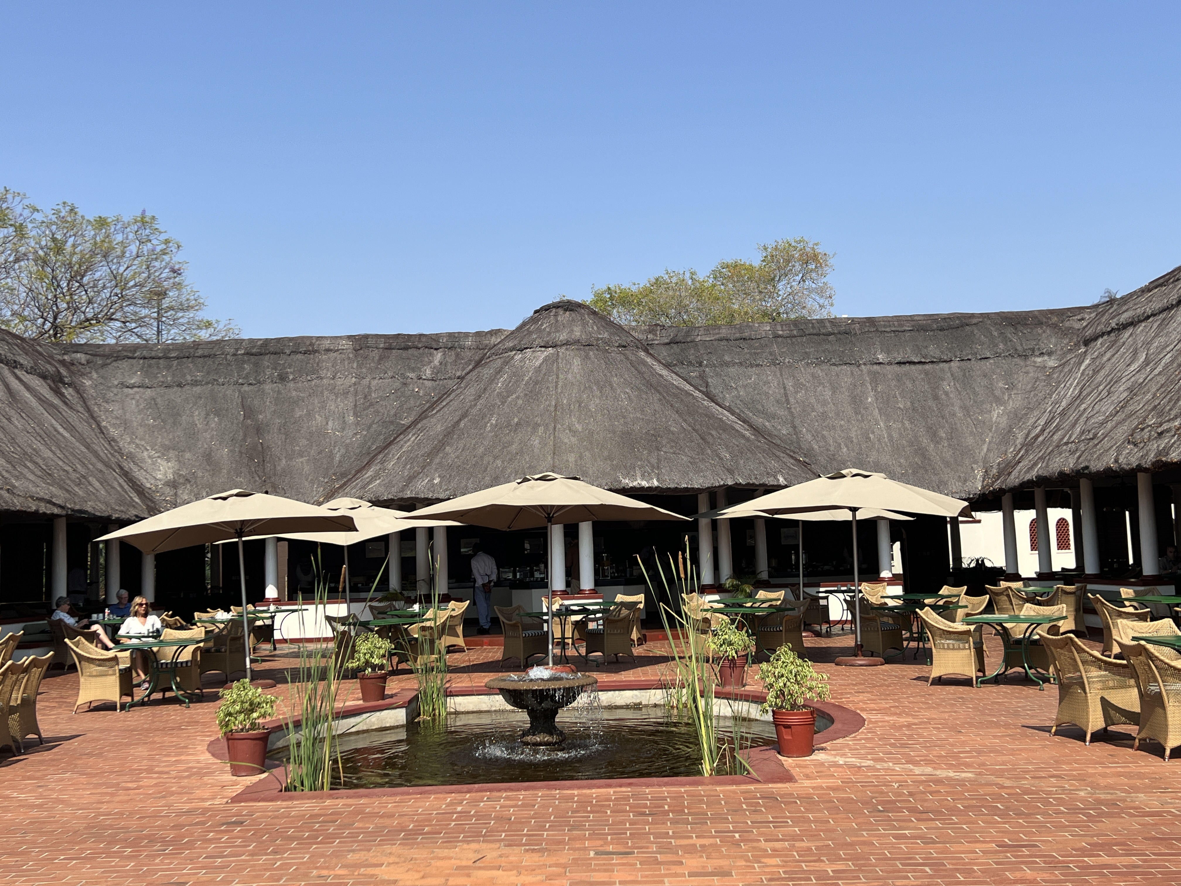
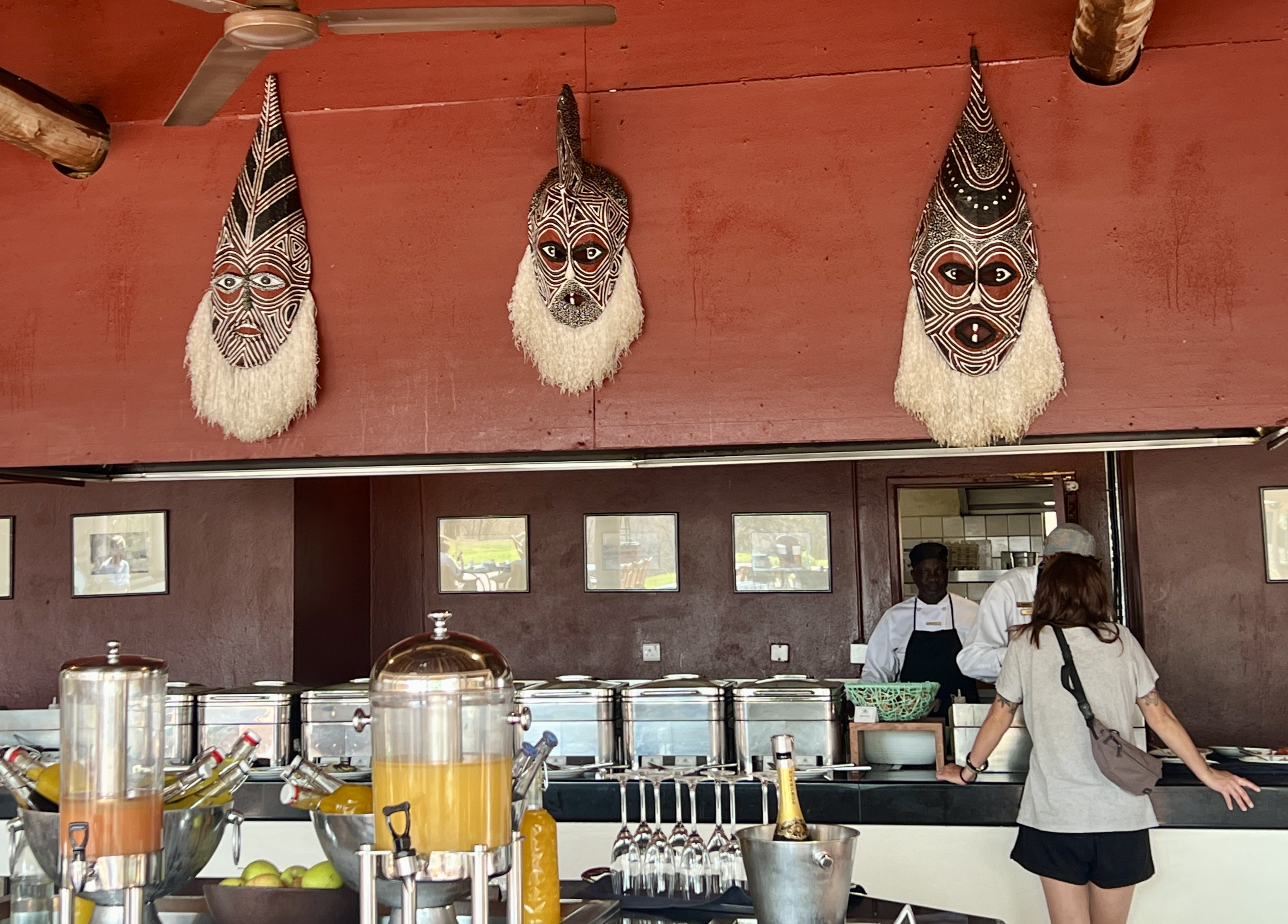
We have our last dinner at the Jungle Junction as the night draws in and bed beckons!

