Category Archives: North Island NZ 2026
Easy day in Taupo
Following on from the wild ride through the Forgotten World we have returned to Taupo for some quiet time.
We have had a short look around town, a very seasonal and touristy place. Skiing in winter down on Mt Ruapehu and in summer strolling around the high country.
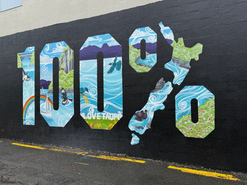
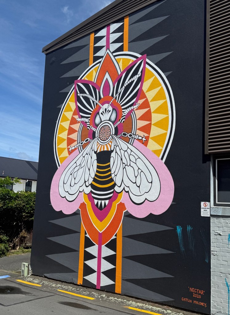
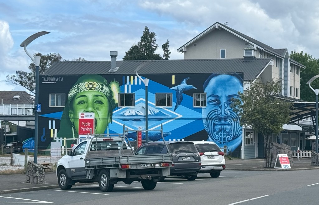
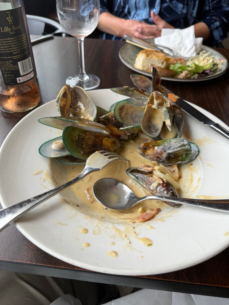
The town of Taupo overlooks a bay in the greater lake, numerous eateries line the waterfront. Fush n Chups prominent on the menus.
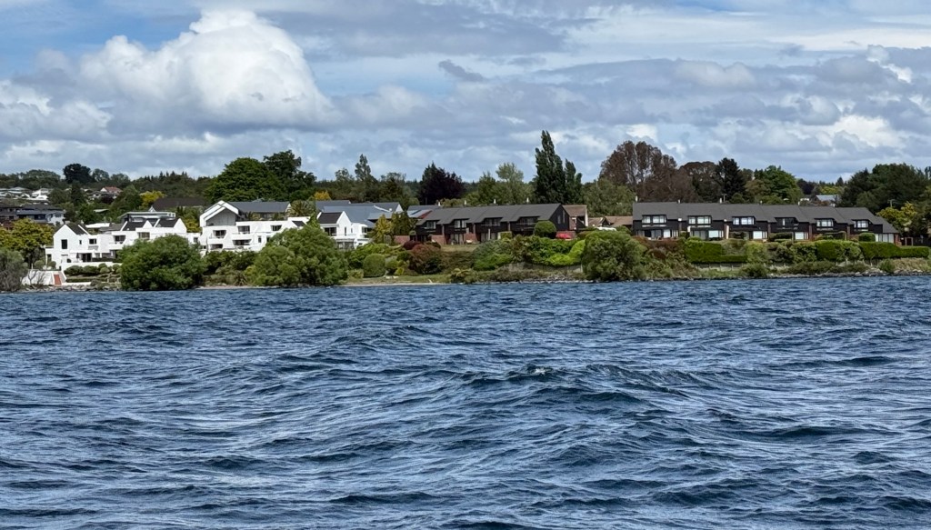
We had organised a short boat cruise out on the lake after lunch. The cruise goes around the edges of the bay before pointing its nose out into the lake proper.
But first a few details about the lake . It is truly an amazing place.
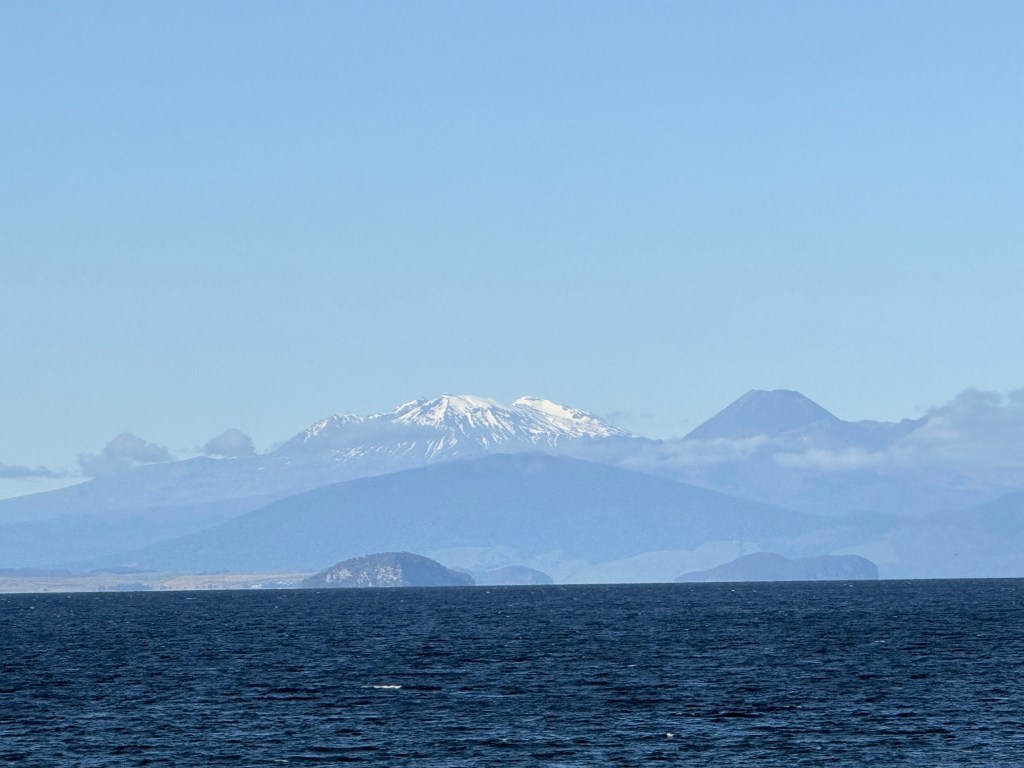
The lake has a maximum depth of 186m with an average of 100m, its surface area is approximately the size of Singapore.
When you look out over the Lake it seems a quiet peaceful place. And so it is today. But in the long ago time it was extremely violent. Lake Taupo sits in the caldera of a supervolcano that caused one of the largest eruptions in human history, although humans came much later to the North Island. 26,500 years ago the present caldera and lake were formed following an enormous eruption, 1100 cu km of volcanic material was ejected. In comparison the famous 1883 Krakatoa eruption, in present day Indonesia, was ‘only’ 8 cu km. Taupo was a big bang indeed, who knows whether there will be another? There has not been a major eruption for around 1800 years. The geologists think we are overdue, but maybe not a big one.
I could ramble on about this sort of stuff because it has greatly interested me for a long time. But rocks are rocks and lunch eventually called before our boat cruise out on the lake.
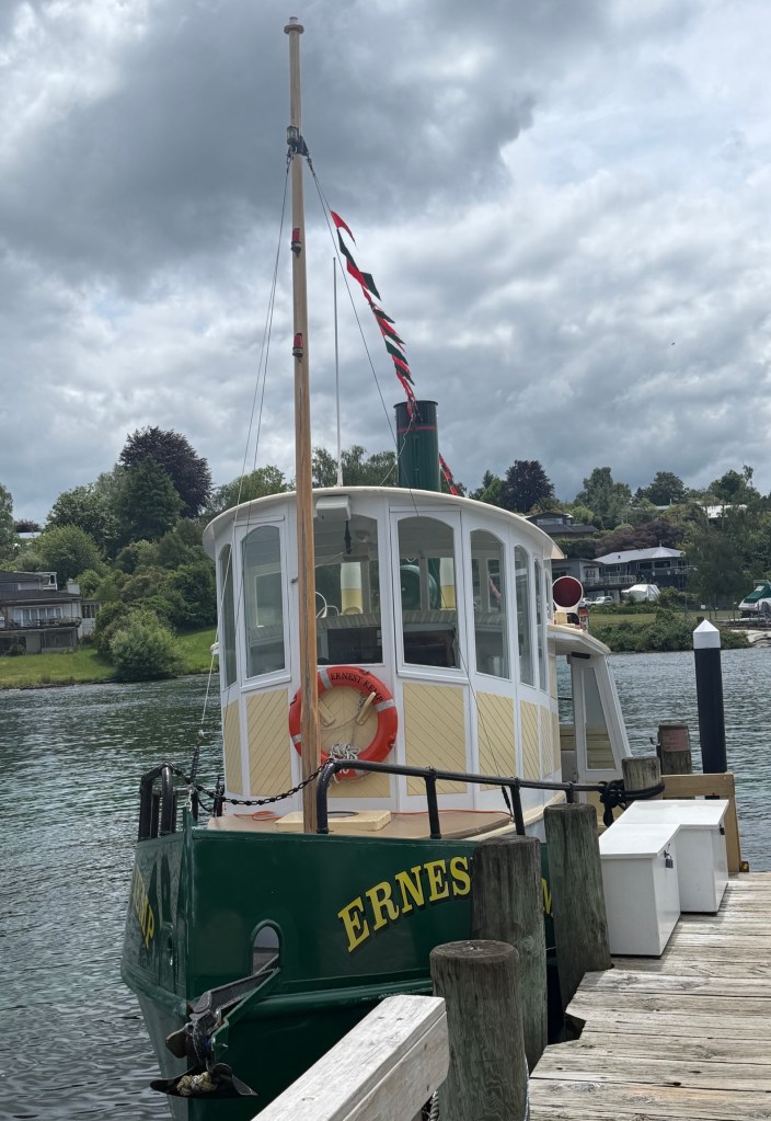
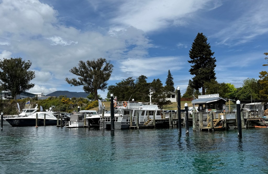
The cruise aboard the Ernest Kemp started off by doing a loop around the shores of Taupo Bay. A great view of the ‘Lady of the Lake’, Mt Tauhara a volcanic peak just outside of Taupo.
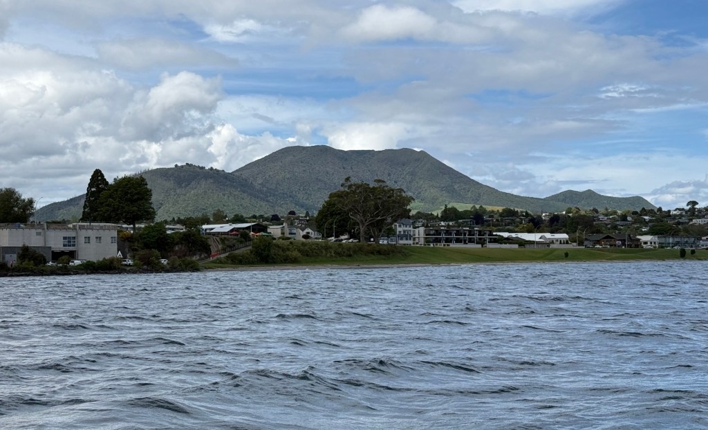
It resembles a sleeping or reclining woman lying on her back against the horizon. It is a revered spiritual site for local Maori.
The highlight of the cruise is backing up to a Maori rock sculpture carved on an isolated cliff in the bay. The only viewing access is via water.
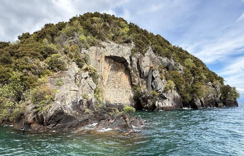
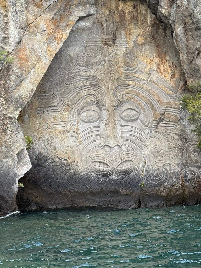
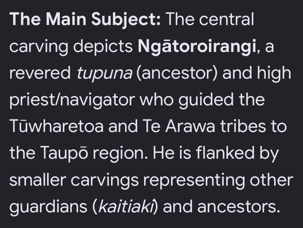
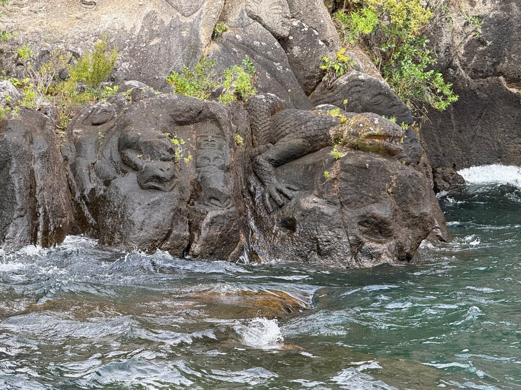
The 14 m high Māori cliff sculpture was carved between 1976 and 1980.
Our boat’s captain made a number of interesting observations during the cruise. Among them the detail that if a string was stretched from one end of the lake to the other it would be 4 ft underwater in the middle of the lake, curvature of the earth the explanation.
The boat then wandered back around the bay to the dock at the marina and we headed back to the unit for a well earned rest after an afternoon at ‘sea’. No sharks!
Rail Carts
Before leaving Aus Allthego stumbled over an article in a travel mag about the Forgotten World of NZ’s North Island and the Forgotten World Highway.
The highway runs for about 148 kms from Taumarunui 125 km north east of Taupo to Stratford. Stratford is to the south east near Mt Taranaki and New Plymouth. More about this road later.
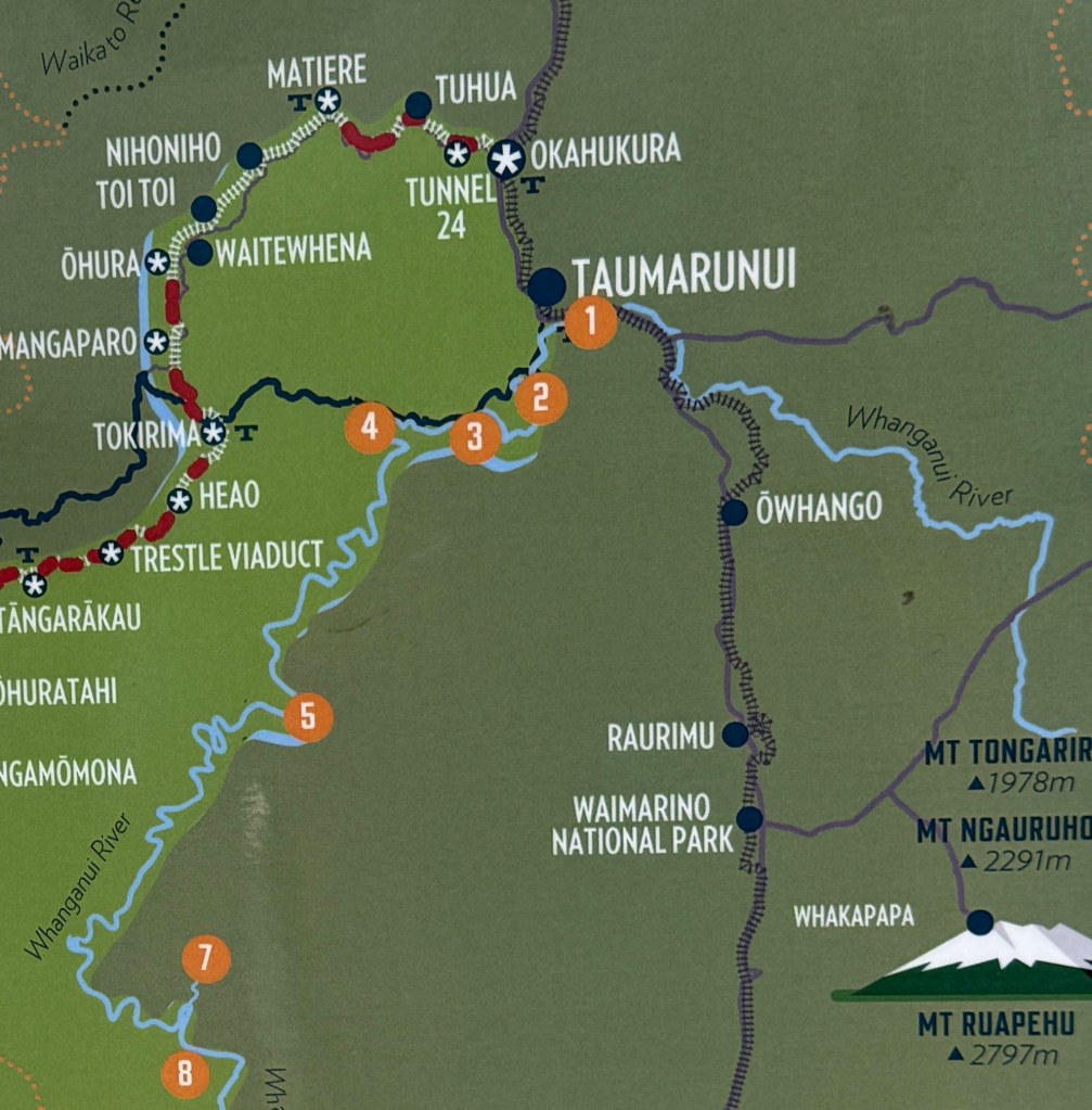
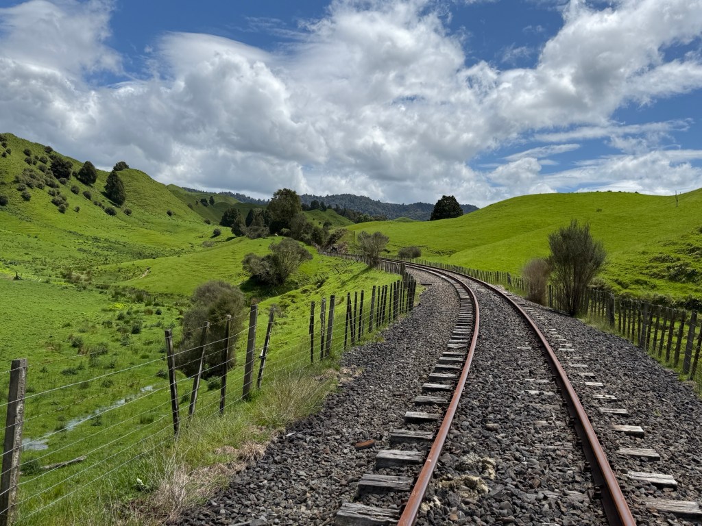
The important thing is that there is a disused railway line that more or less traverses the same route, though on far more gentle inclines. It was originally built in stages over a thirty year period (1902-33) to service the timber and coal industry. With the demise of these industries, the use of natural gas and the improvement in road transport the line was closed in 2009. The small towns along the line had shrunk and people moved away. The region became known as the Forgotten World.
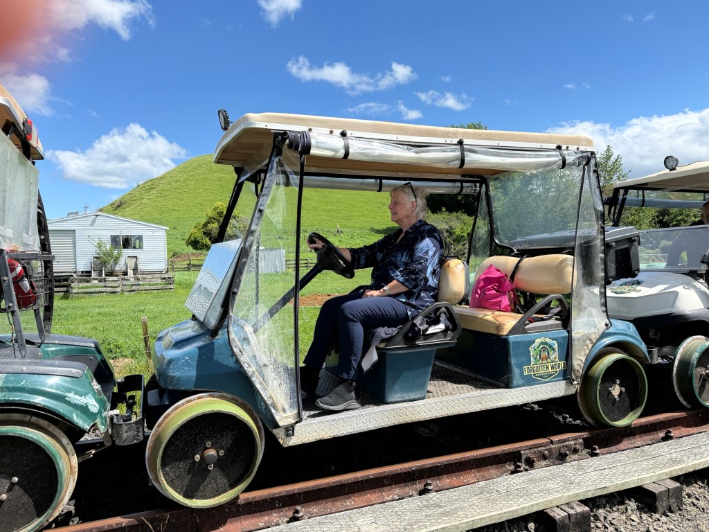
Some chap thought it would be a great idea to reopen the line as a tourist attraction. Negotiations with government allowed this to happen and the line reopened in 2012. Not with trains and carriages but with rail carts, oversized golf buggies. There are various experiences on the line, including trips all the way to Stratford staying overnight in accommodation beside the line .
But we are doing what is called ‘The Taster’. An afternoon on the northern end of the line covering 42 kms. From Taumarunui we bussed to Tokirima, our starting point at one of the stops on the line. Had lunch here after which we hopped into one of the Rail Carts and prepared for the journey.
The end point was Okahukura from where we were bussed back to Taumarunui.
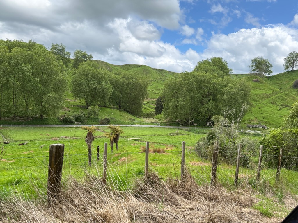
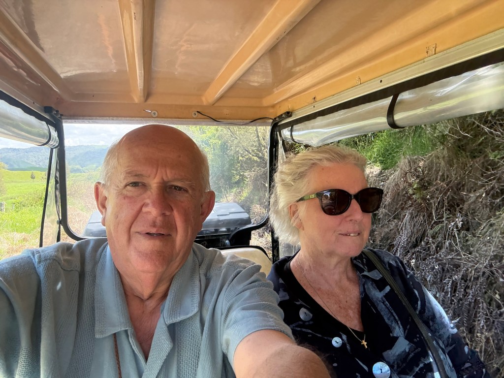
There were 8 in our party plus the guide who drives the first cart in the convoy. Homealone is driving the second cart with Allthego a willing passenger. Behind us is the third cart, with four Israelis aboard. Bringing up the rear is cart four with two Swiss aboard.
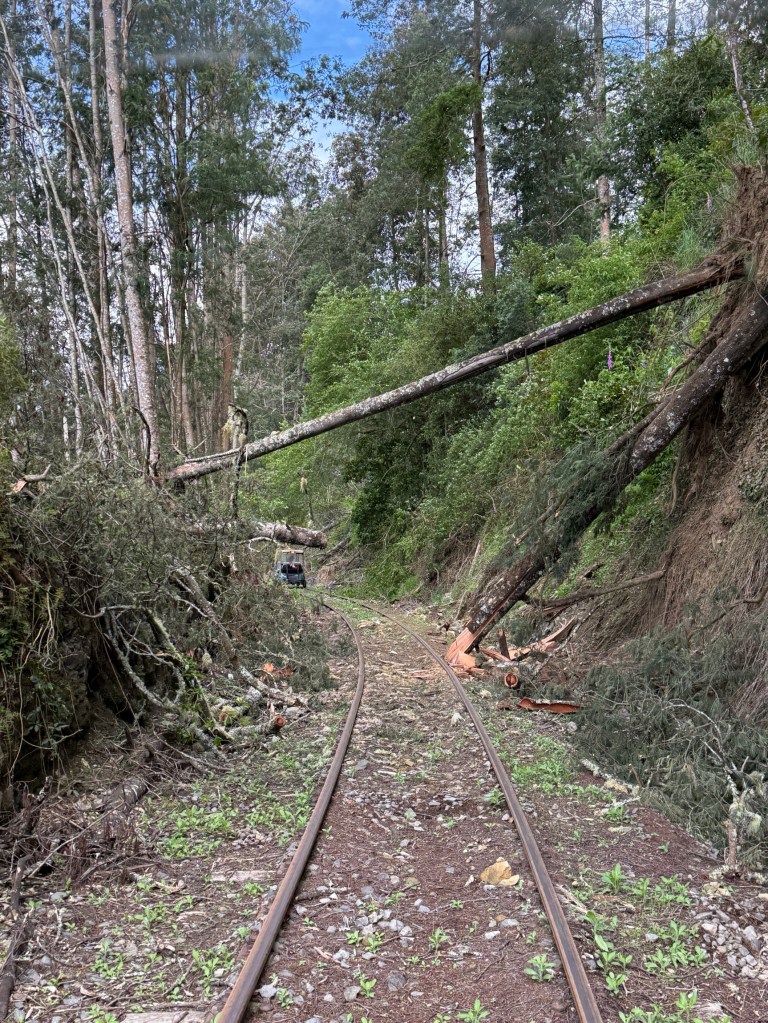
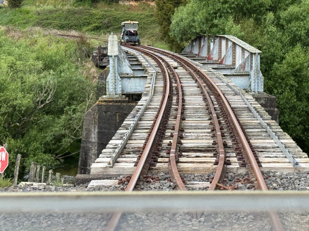
We kept about 50 metres between each cart. The carts are speed limited to 20 kmh, but we rarely exceeded 10-15 kmh. The steering wheel is for effect only, we just follow the rails!
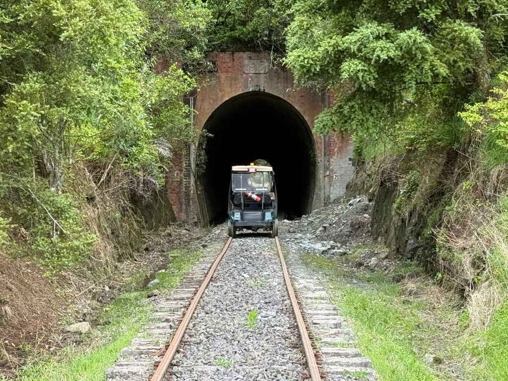
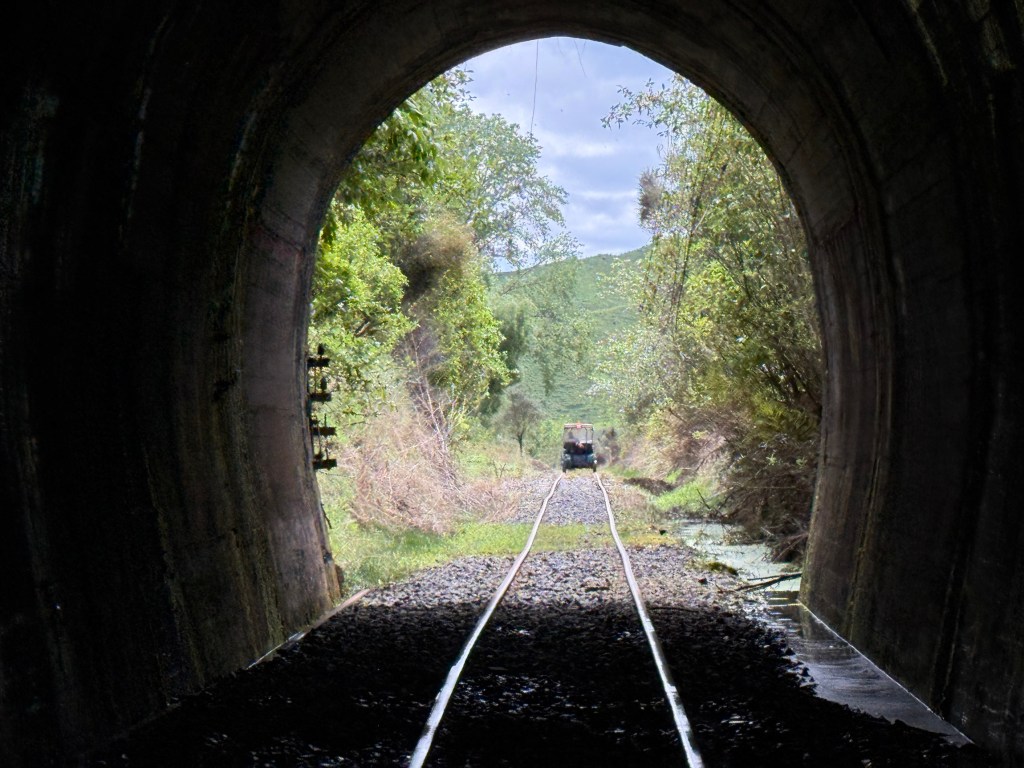
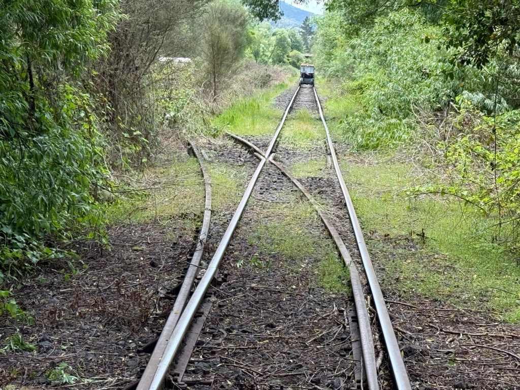
What an experience! Some amazing country passed through and we learnt a little about the old days and life beside the line from our guide.
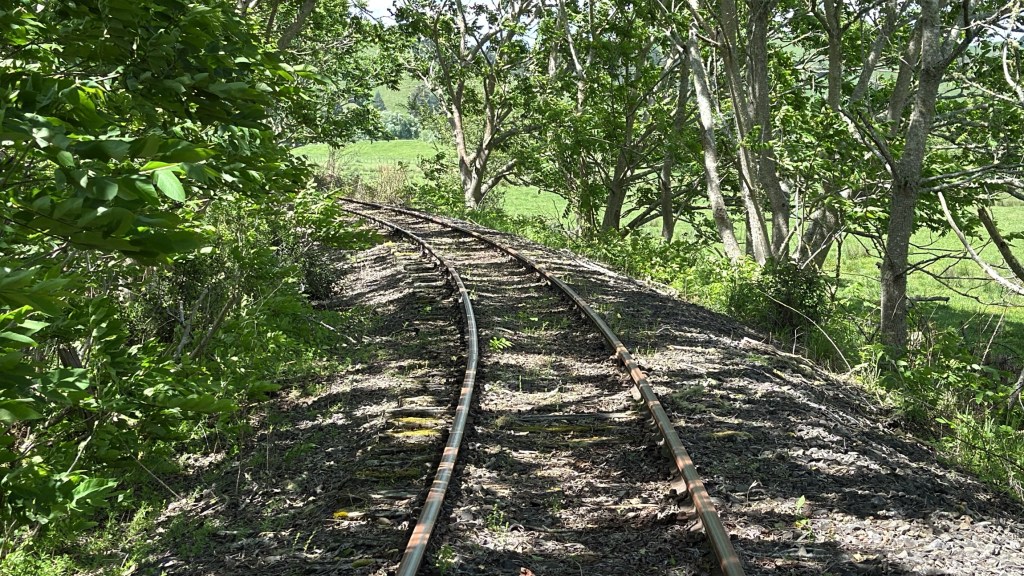
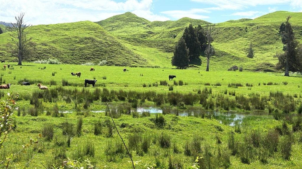
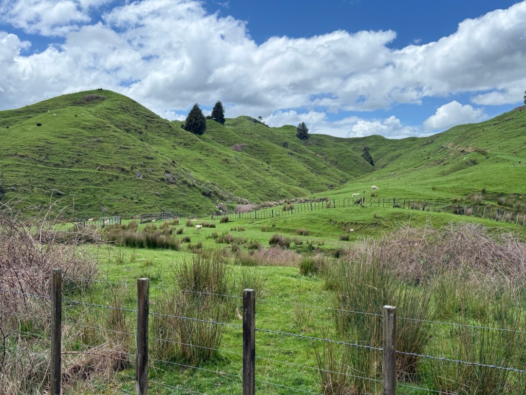
Towards the end we entered a long 1.5km tunnel. We stopped in the middle and turned our lights off, complete darkness, very eerie and chilly. About 70 m underground at this point.
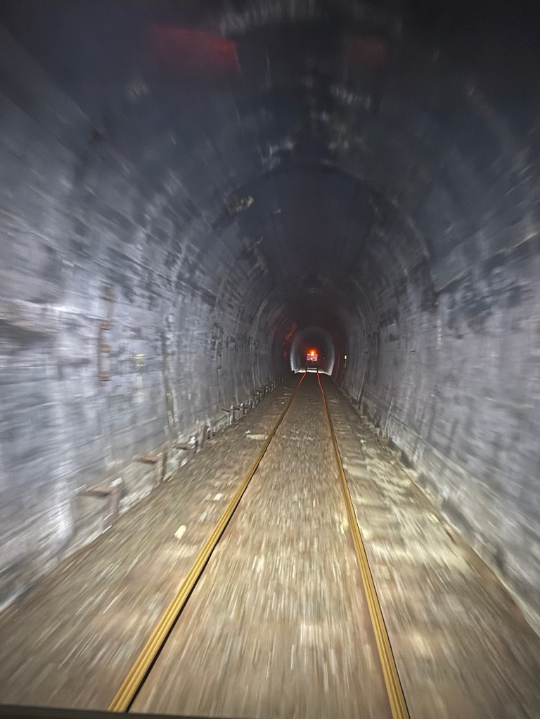
All the work on the line was by pick and shovel, even the tunnels. Material was removed by horse and cart.
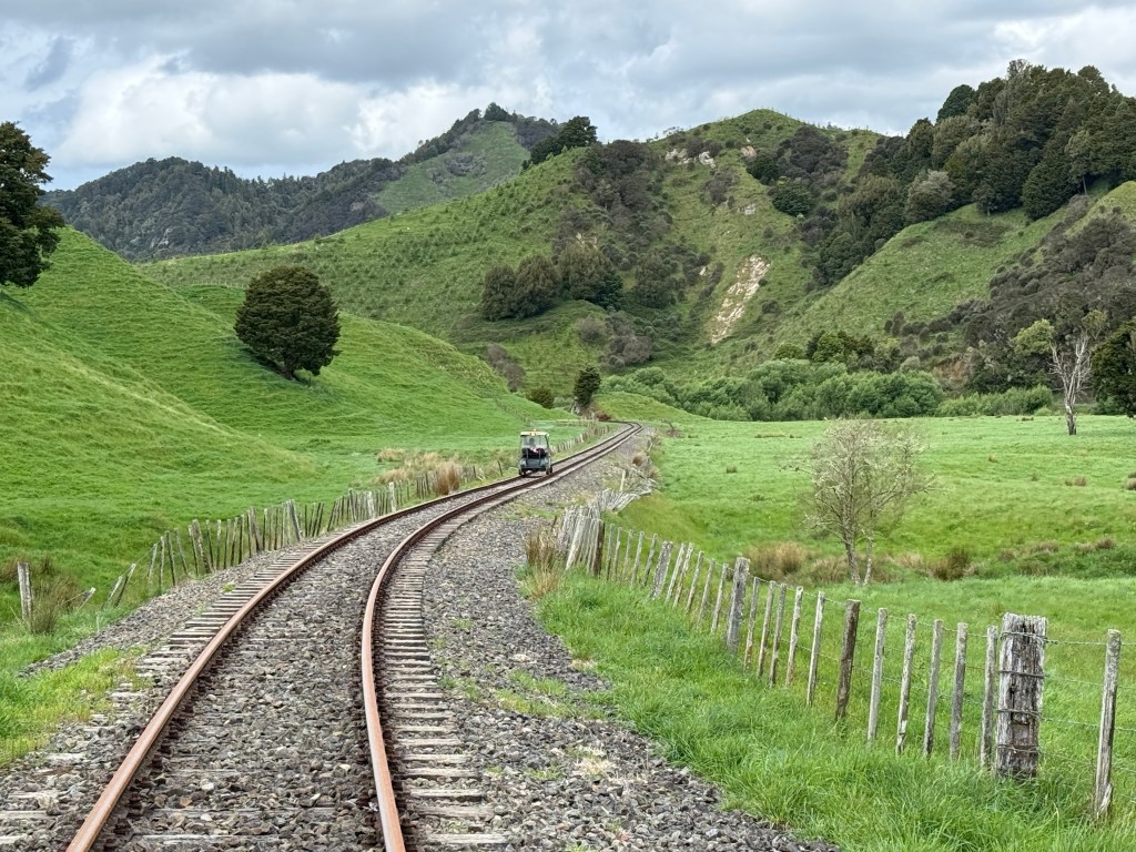
Great day out on the rails.
Lake Taupo
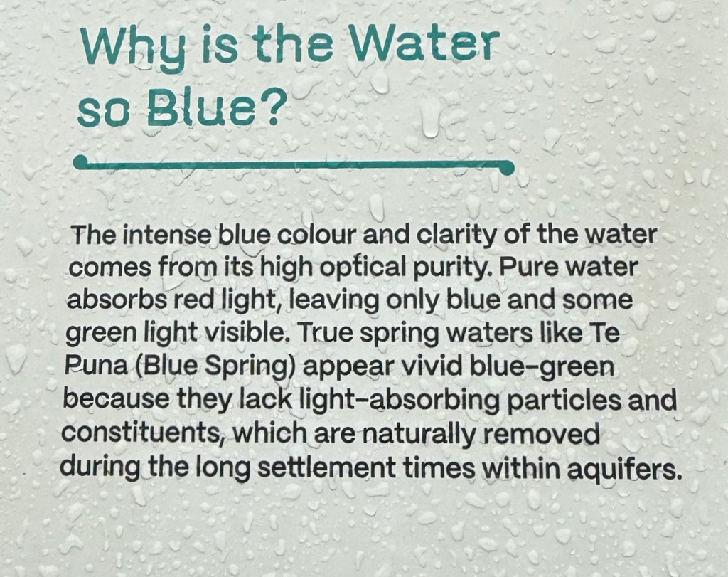
Lake Taupo is a short drive from Cambridge and along the way we stopped at the Blue Springs. The weather was overcast with a very light sprinkle of rain, which would come and go. Now this type of weather puts a dampener on the Blue Springs experience. When the sun is out the Springs are a vibrant turquoise and green, with clear water as well. This is why this is so for any technical minded people.
On this day we had a far more muted experience, although there was one small patch of blue close to the river bank.
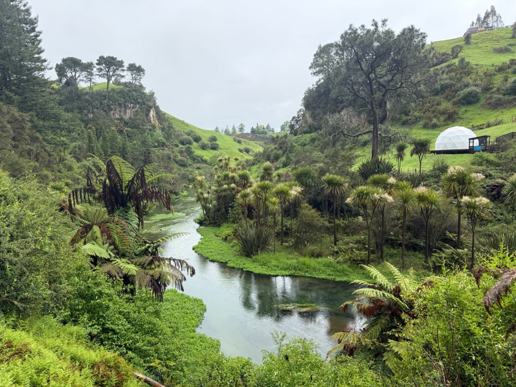
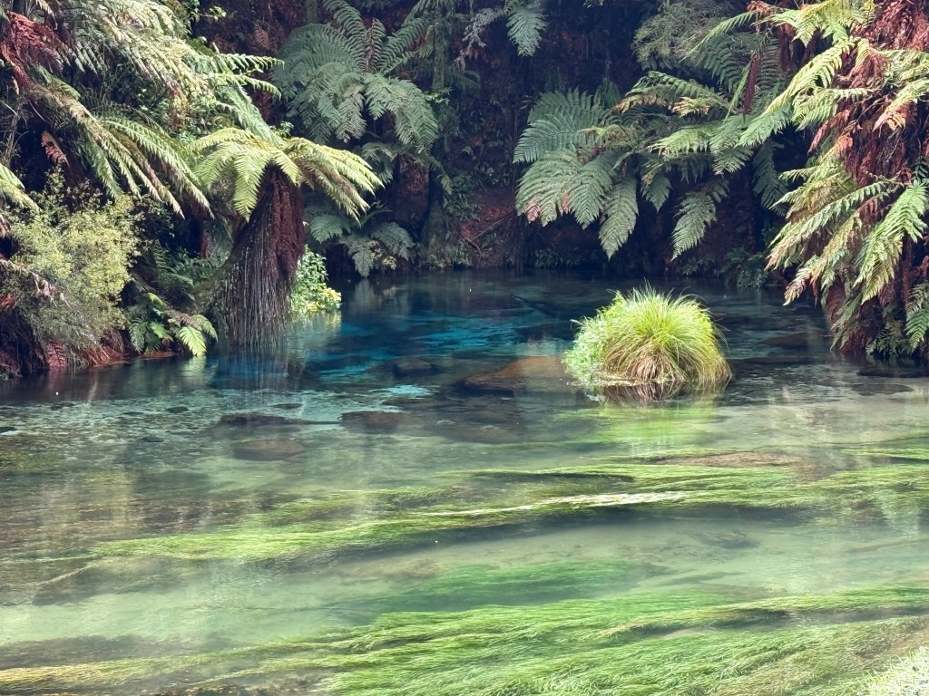
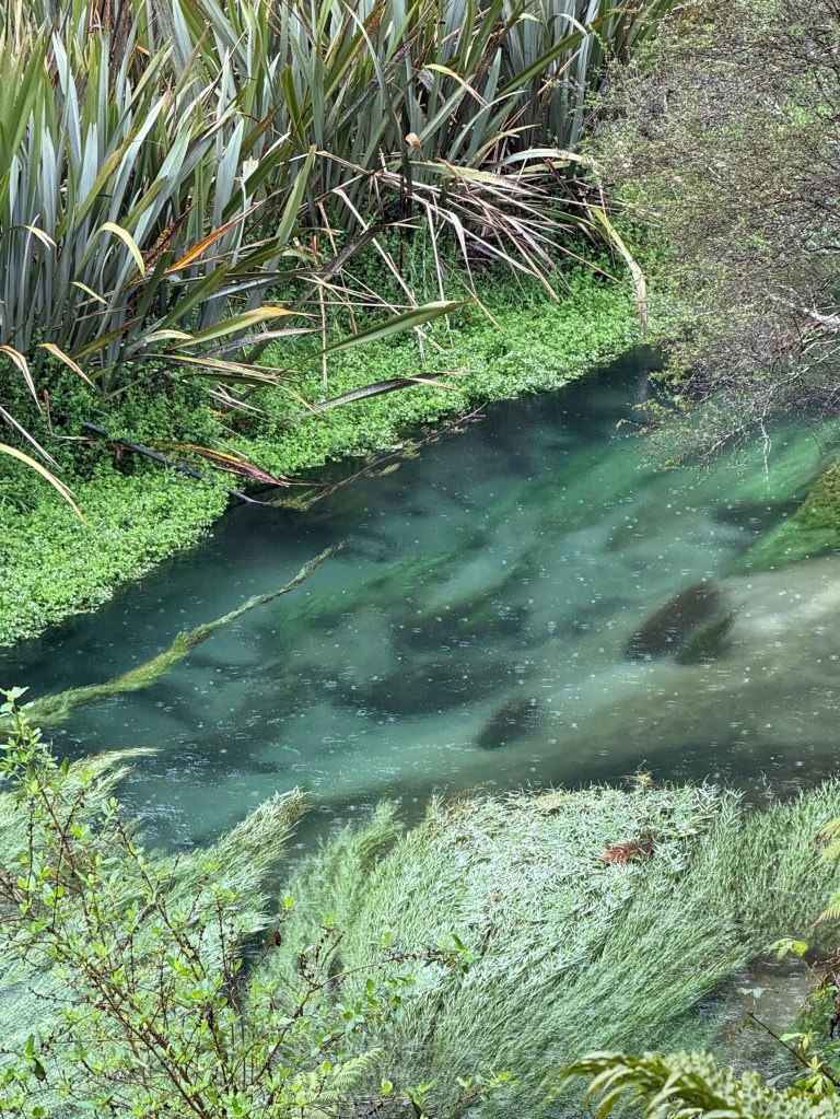
Apparently, on cloudy days there is far less direct sunlight penetrating the water to scatter back its blue colour and the water’s surface reflects the grey clouds above.
So, we will just have to admire that postcard pic. Allthego is a bit suspicious though that it might have been cleaned up a bit in photoshop!It is just so blue.
We motored on from the Blue Springs and arrived at our lodgings for the next six nights in Lake Taupo. The locals seem to call it Taupo so I’m going to chop the ‘lake’ bit off from now on. We are in a unit across the road from the Lake but we can’t see it, blocked in by others.
There is much to do and see in this region and we are using the unit as our base for exploring the sights.
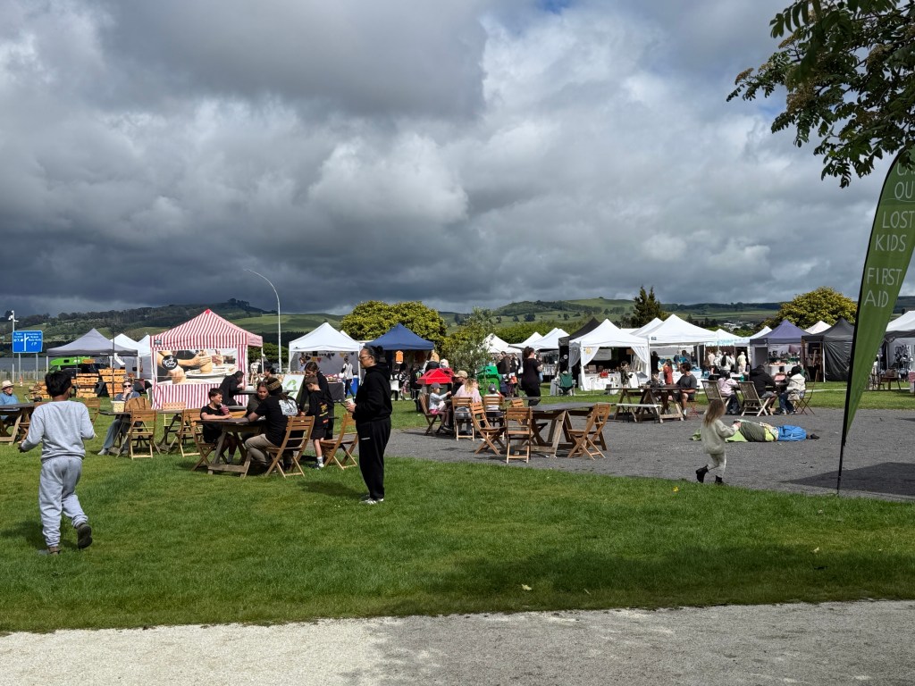
But guess what? On our first full day the local markets were running. Bargain opportunities there were not, but there was lots of food.
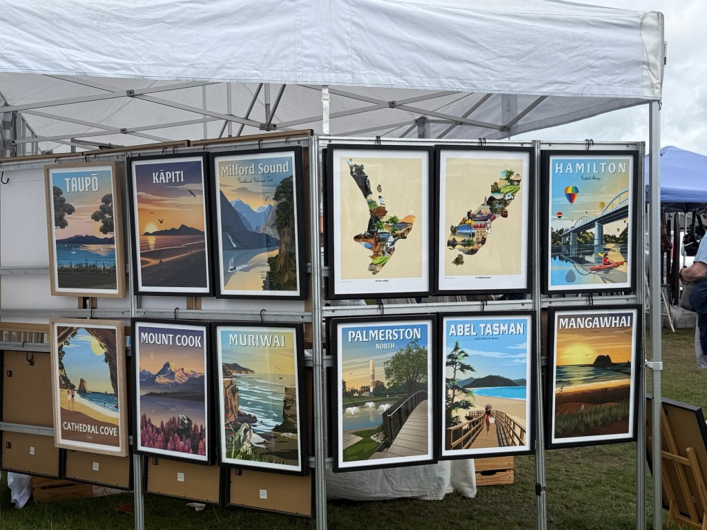
The markets were much the same as Aussie markets, although one food item stood out. The Mussel Fritter.
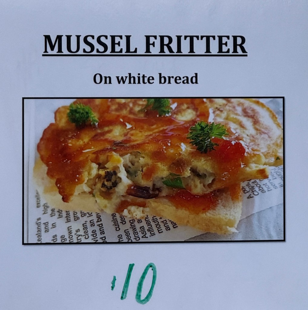
Allthego has had scallop pies in Tasmania that were excellent, but not sure about Mussel Fritters!
We moved on from the Markets for a short distance out of town to the Huka Falls. This is a very popular tourist spot.
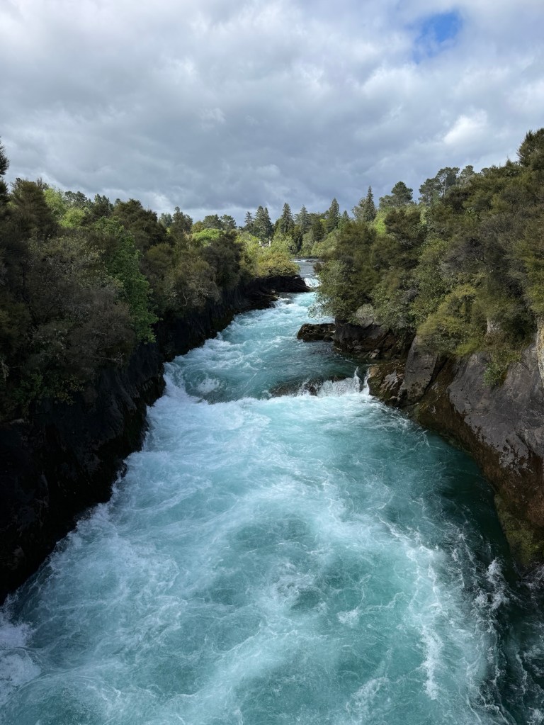
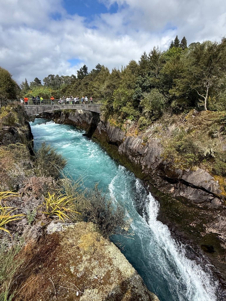
New Zealand’s longest River is the Waikato and it drains out of Lake Taupo through the Haka Falls. Above the Falls it is 100 m across. It then narrows and its water flow compresses into a narrow 15m wide gorge plunging through the 11 m Haka falls. The surging turquoise water is an amazing sight.
Next stop was further along the valley through which the Waikato flows, Craters of the Moon.
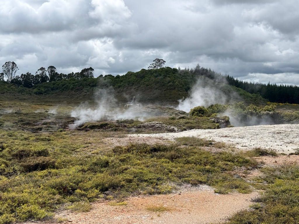
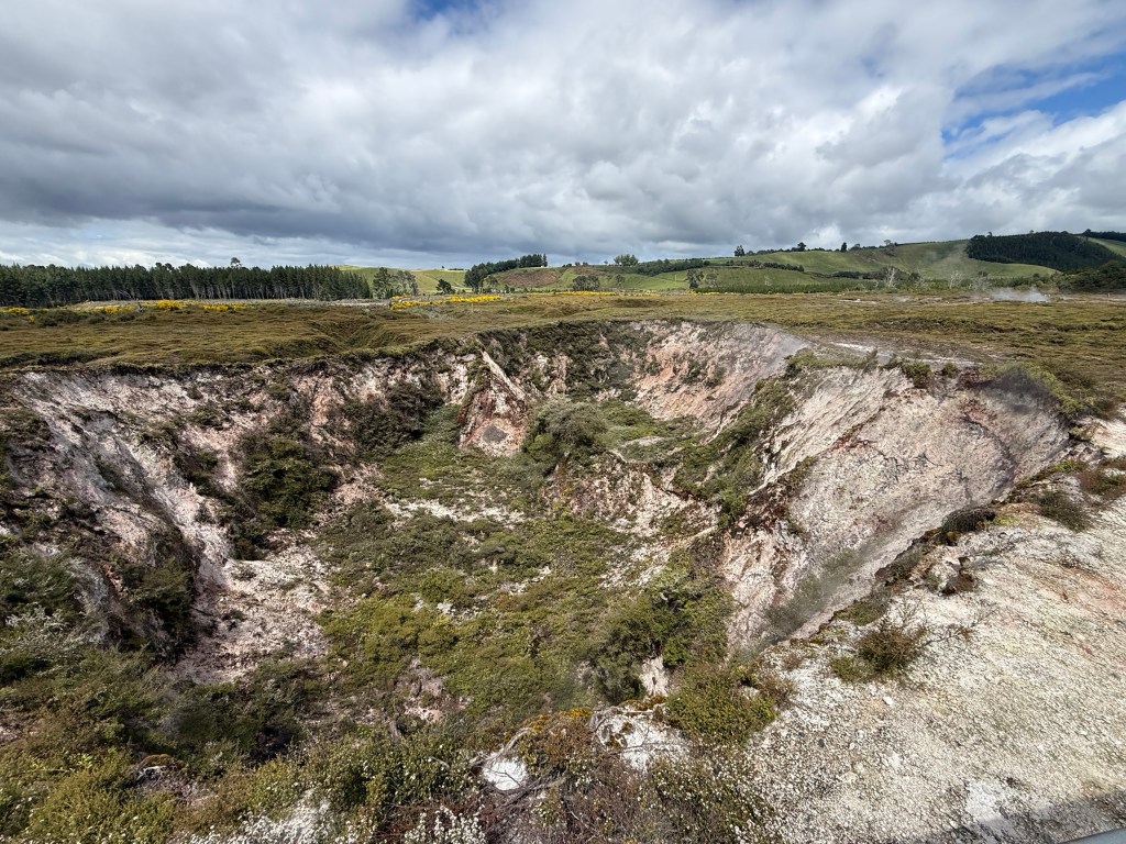
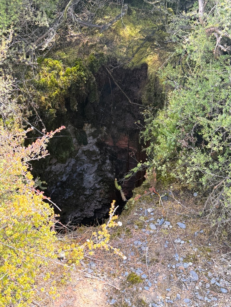
This is a geothermal park, a large circular depression within which there are numerous vents and depressions. Some of these are dormant and others quite active, venting steam and depending on the pressure steam train like hissing.
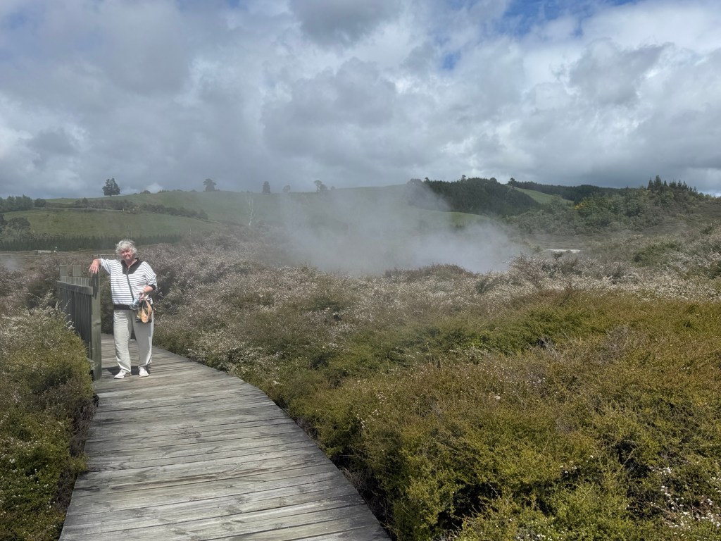
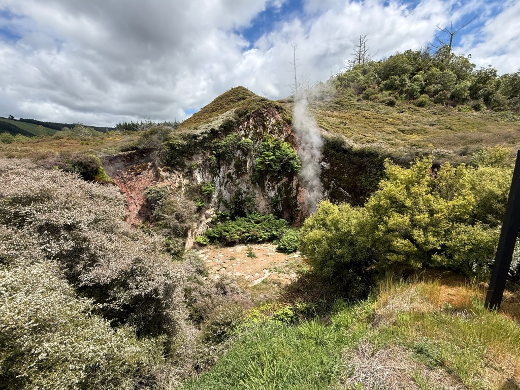
Over time some vents will go silent and others will open elsewhere. An interesting walk through the changing vegetation that responds to the different ground heat in the park.
You are warned not to step off the boardwalk and to exit the park quickly in the event the warning siren goes off. No siren today!
We are going to head further afield next time to the Forgotten World.
The Shire
Cambridge is our base for a couple of nights and for the short drive to Matamata to visit The Shire. This is where Tolkien’s hobbits live in his iconic books ‘Lord of the Rings’ and ‘The Hobbit’.
Now, Allthego has not read these books, but Homealone has and is very keen on the story. As well as the film series. To get some background Allthego did sit through the three Lord of the Rings films before coming on this trip, knowing we would be coming to The Shire.
Our Hobbiton Movie Set tour did not start till 2pm so we decided to have lunch and a short look around Matamata beforehand. Setting off from Cambridge the weather was very overcast with drizzly rain. Didn’t look good for an outdoor wander through an old sheep farm.
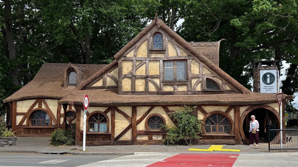
In Matamata we called into the Visitors Centre, very full of Lord of the Rings stuff. The centre was built in the hobbit style, with round doors and a straw thatched roof.
Apart from Hobbits, Matamata is also known for its racing thoroughbred industry; there are numerous studs in the area. The town has a motto ‘The Town That’s Racing Ahead’.
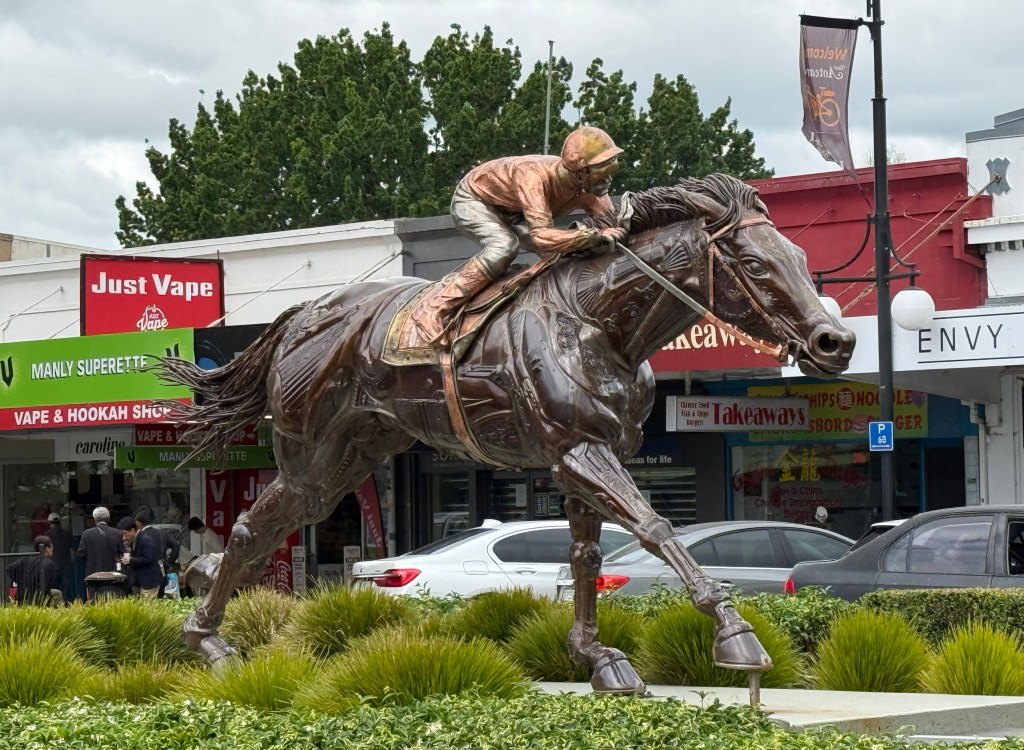
An emblematic sculpture of a horse and jockey stands in one of the main streets.
The drizzle had continued for most of the morning but it started to clear as the afternoon progressed.
After a quick pasta for lunch we arrived at the Hobbiton visitor centre around 1.30 and picked up our pre-ordered tickets. Then the drizzle stopped and blue skies started to poke out. Amazing timing!
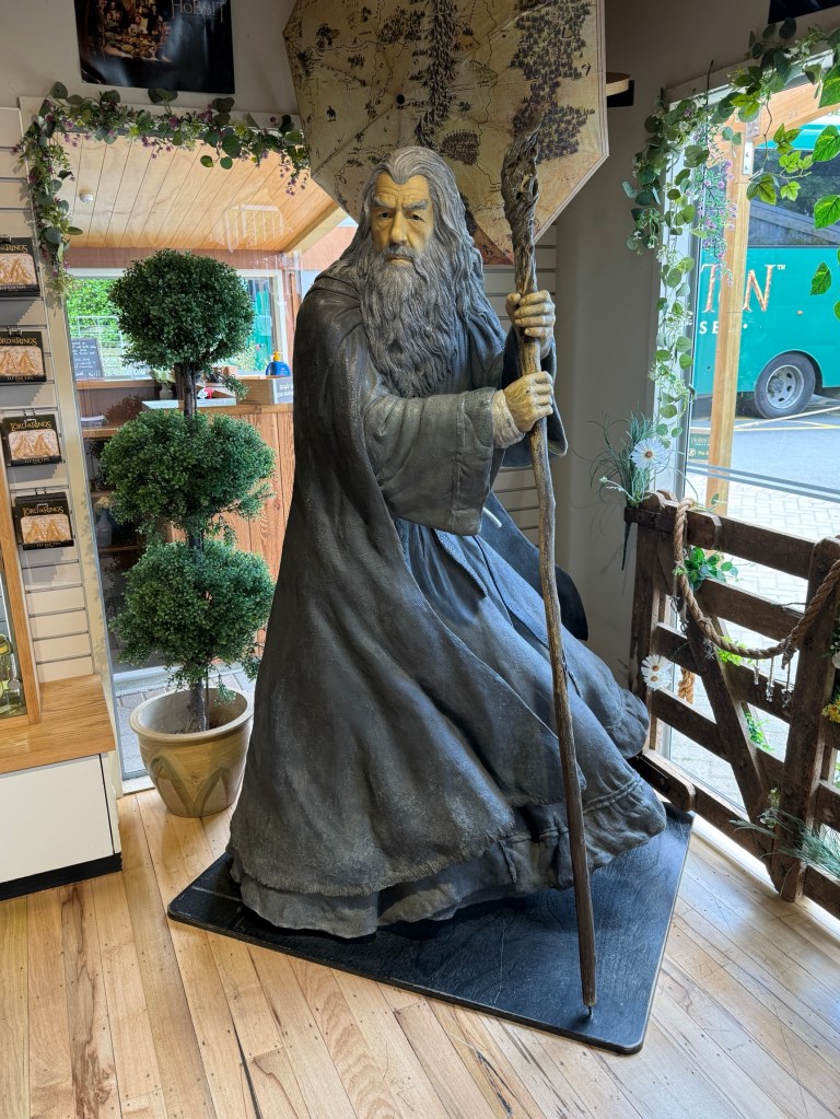
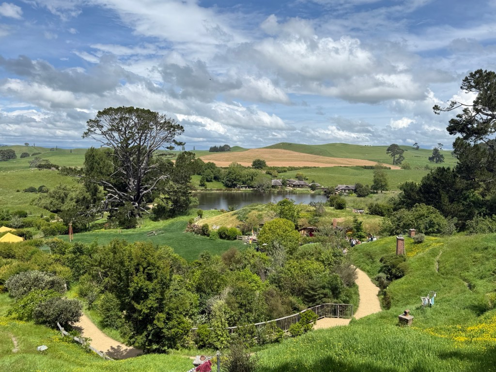
‘Hobbiton’ is the movie set for the scenes of The Shire in the films. It is located in a hilly arc shaped section of a sheep farm a few kilometres outside Matamata.
There were forty people in our tour group and we were led around the site for two and a half hours by an energetic young lady. She seemed to have a well worn tour script pointing out the various spots that appeared in key moments of the films. Also detailing some of the films’ trick photography in relation to the size of hobbit ‘holes’ (homes) and the actors.
Here are a few pics of the tour.
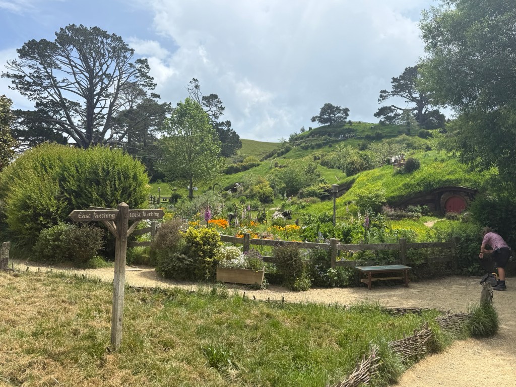
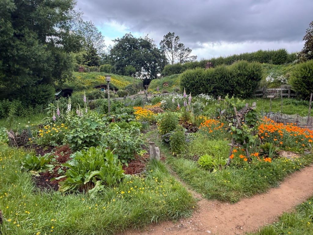
There are apparently 31 Hobbit Holes in the hillside all meticulously crafted.
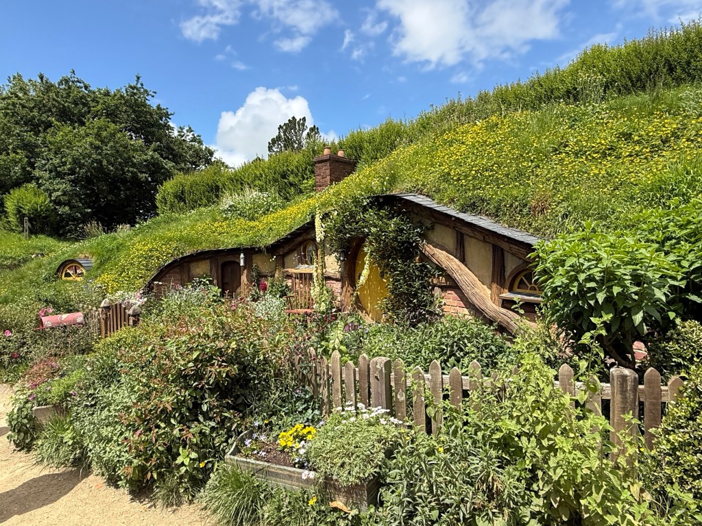
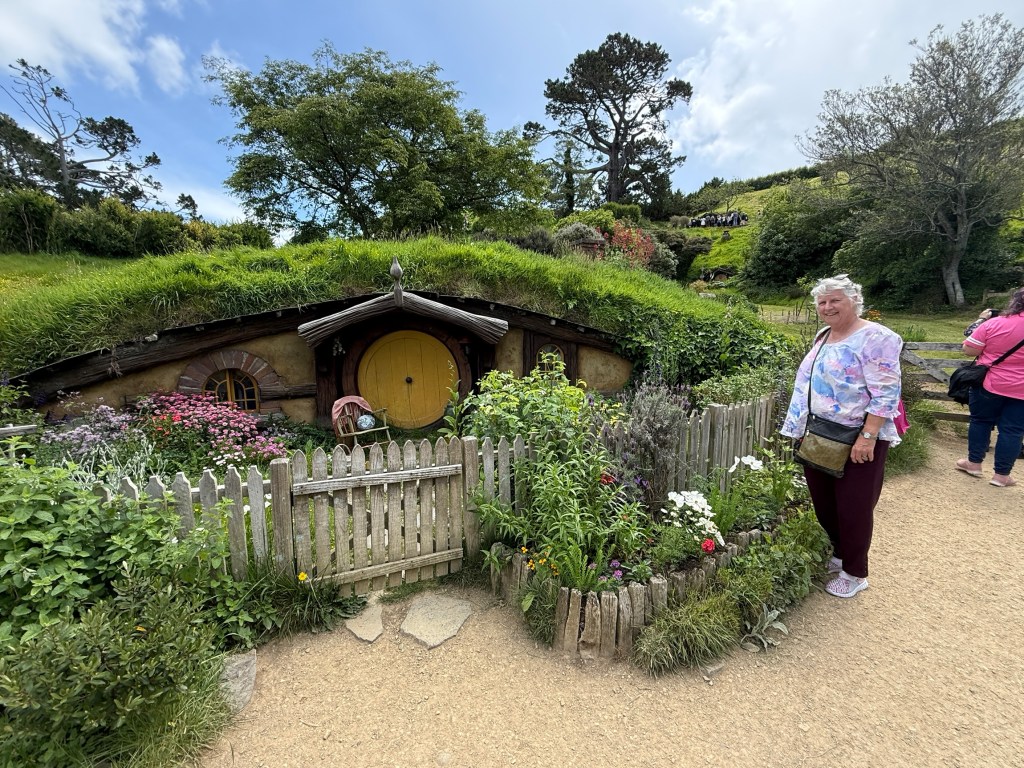
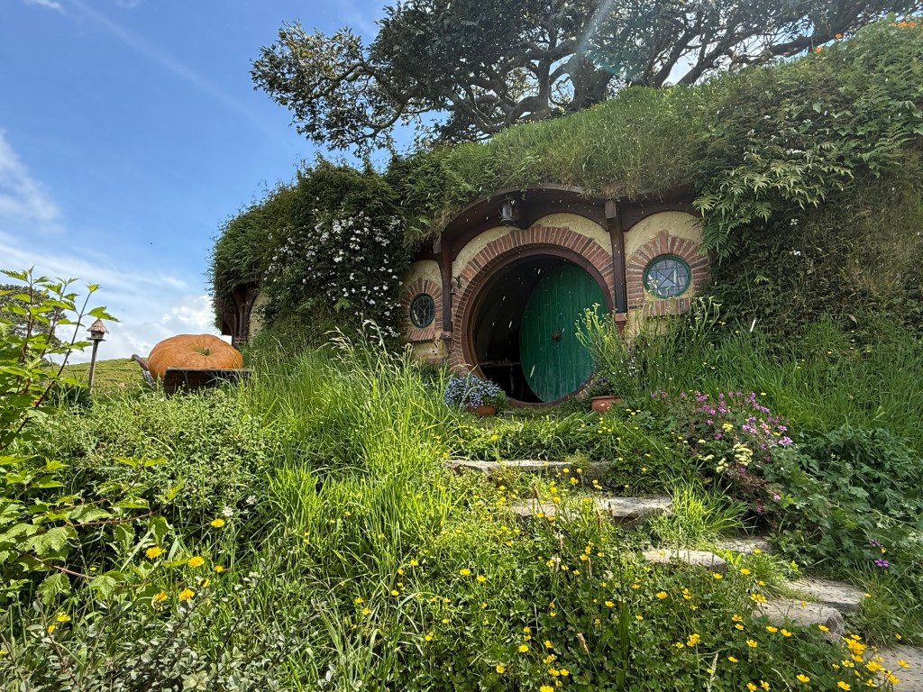
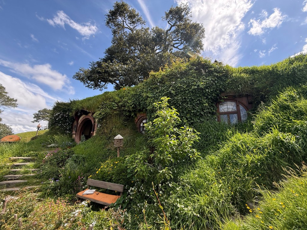
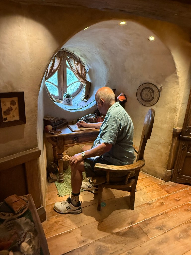
A little down the hill is Bagshot Row, this is where we can go inside a Hobbit Hole and check out how they lived. A great deal of design detail has gone into all these structures. Very lifelike!
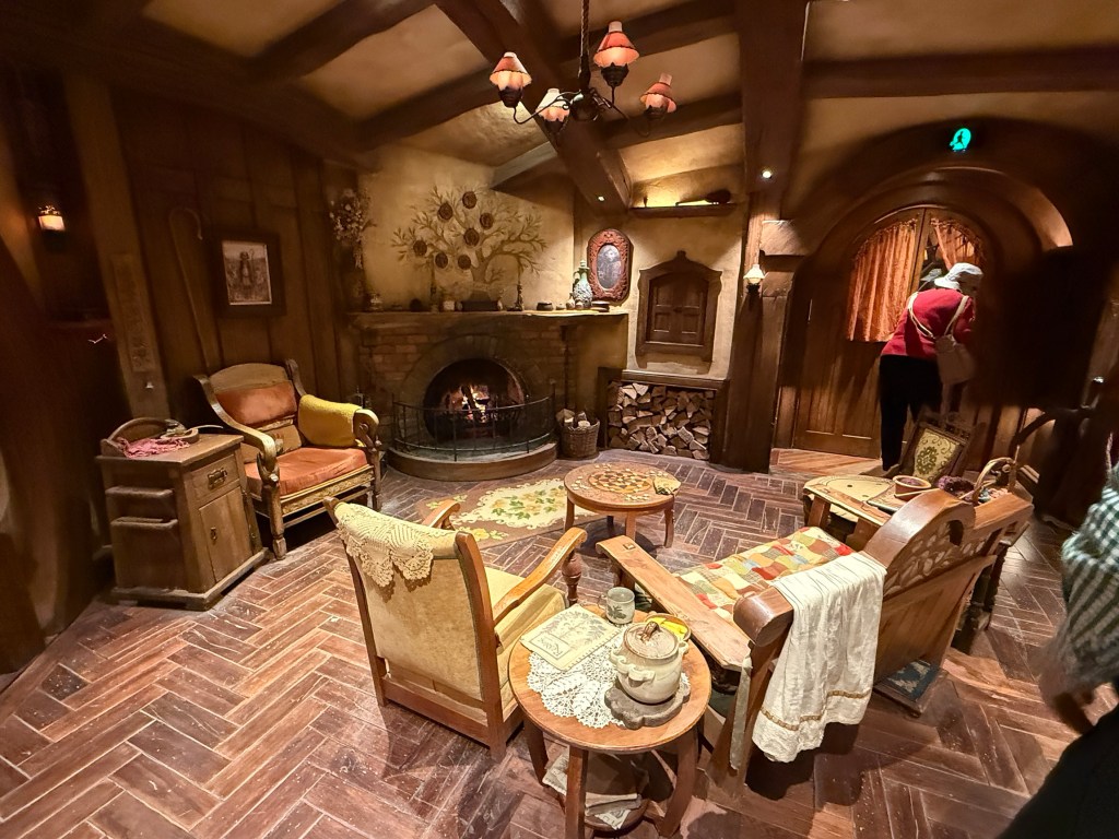
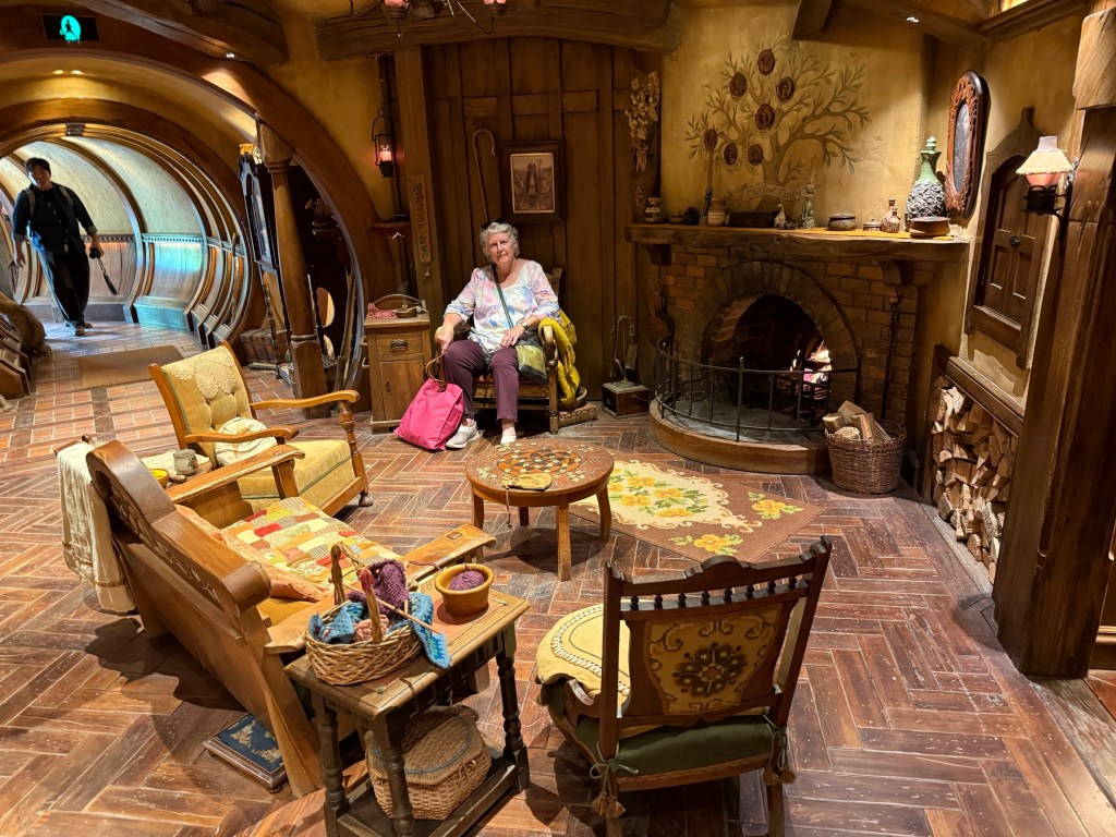
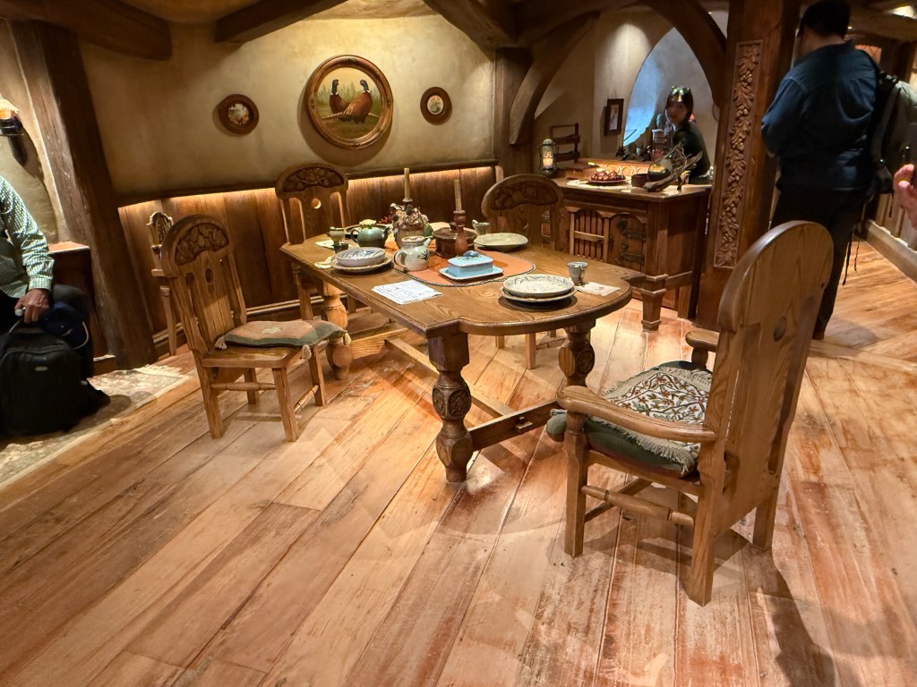
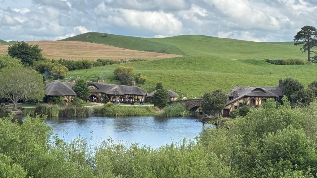
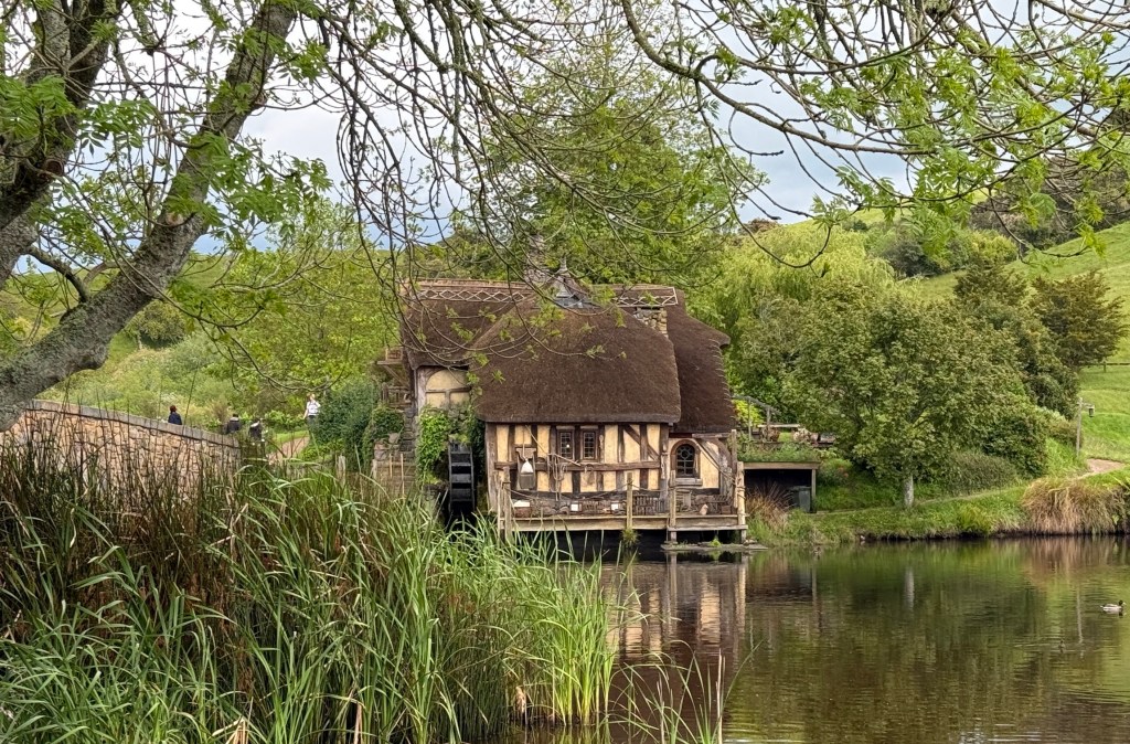
We now headed down to the lake past the old Mill house, over the stone arched bridge to the Green Dragon Inn.
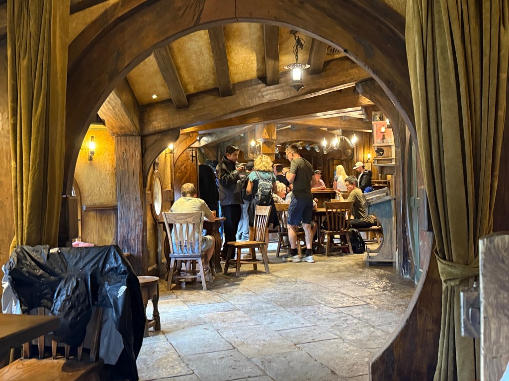
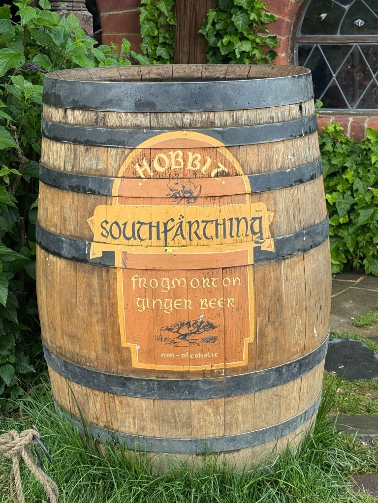
Well that was the end of the tour and the group wandered back to our starting point. All happy hobbits.
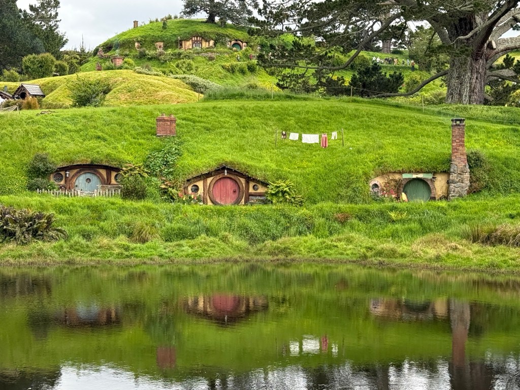
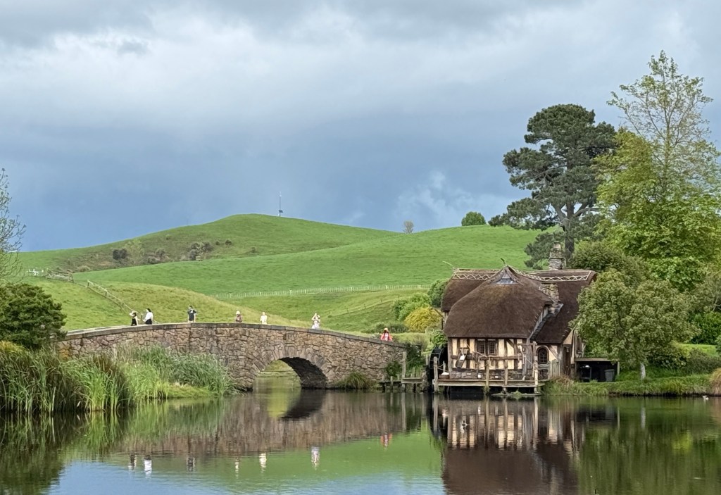
A couple of final photos looking back over The Shire.
The clouds in the background were ominous. As we got back to our car for the half hour drive back to Cambridge the heavens opened. Timing is everything it seems! It poured rain all the way back and for most of the night. Our next stop is Lake Taupo.
First Raglan then Cambridge
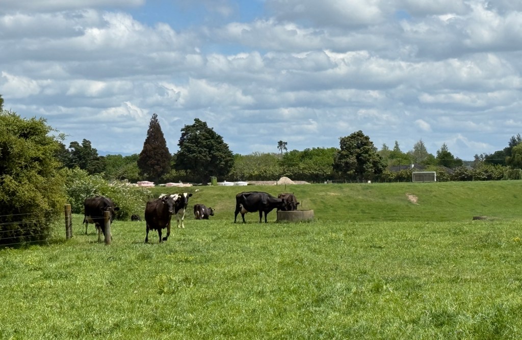
We are now doing a little criss-cross to Raglan for the night. Thames to Raglan, over on the west coast, is not far. 140km or so. There are several routes to follow all much the same distance. We took the one that seemingly weaved its way backwards and forwards across the agricultural districts, fairly flat and green with paddocks divided by hedge rows. Very English.
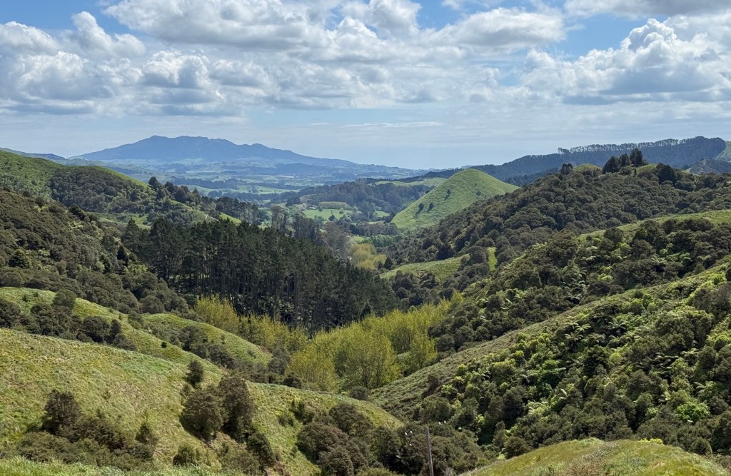
Raglan is the North Island’s surfing mecca. Great black sand beaches with renowned left-hand point breaks. Any surfies among my readers will know if you get on one of these waves it will keep going to the right, as you ride towards the beach, the wave breaks and peels on your left but stays open in front so you just keep sliding down the face and going until the wave (or you) runs out of energy.
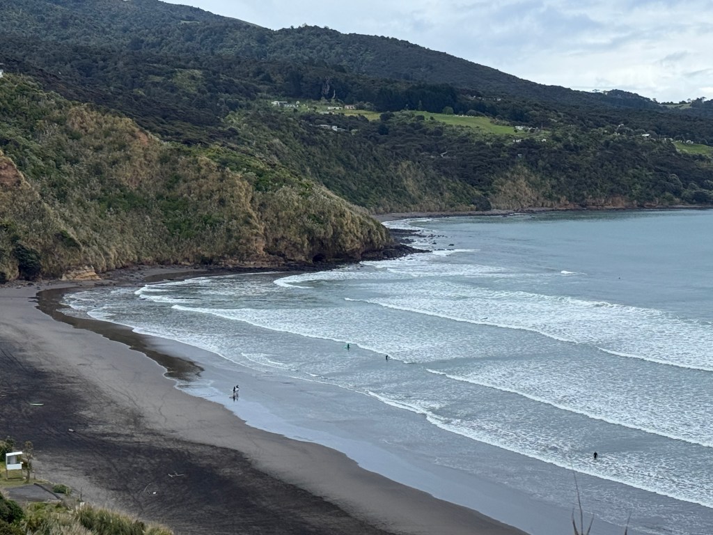
Allthego was never a board rider but enjoys watching it though.
Before leaving Thames we had a look around the town and a morning coffee and tea at the old Shortland wharf, originally built in 1868.
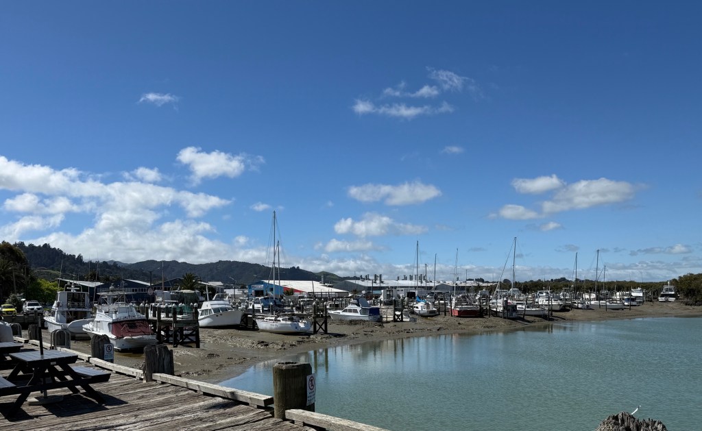
The planks we walked on here had seen better days. I’m not sure that the whole present day structure dates back to 1868, 1958 perhaps! The last cargo landed here in 1963. Now mostly pleasure craft and fishing charter boats.
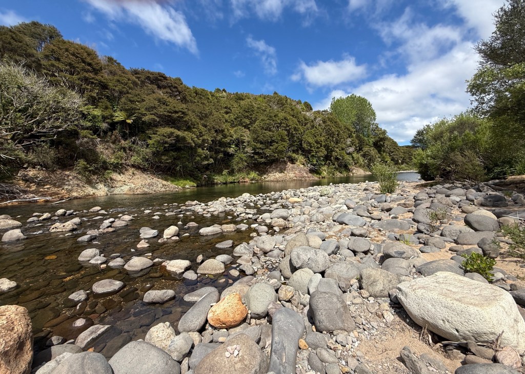
On the way out of town we had a short detour into the hinterland along a stream that flows into the harbour. Very green and picturesque countryside.
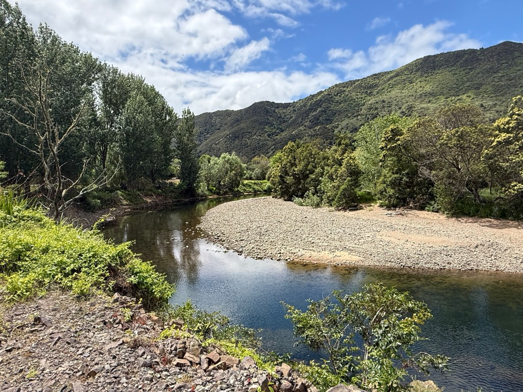
Ended up at a Forestry Reserve and campground, the road went on but we turned back. Time was getting on and Raglan called.
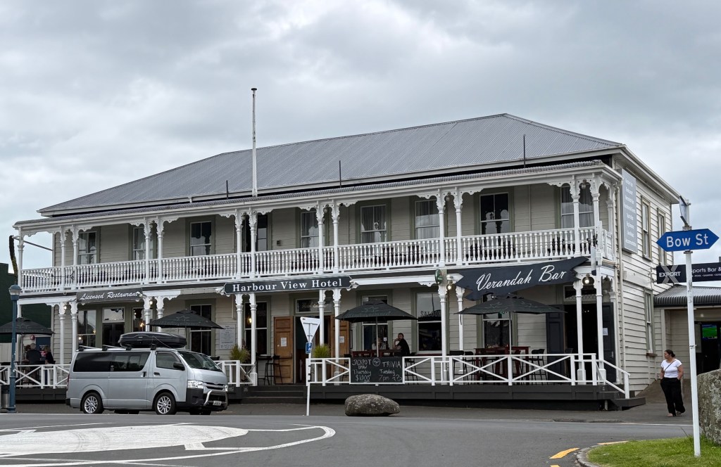
Got to Raglan ok in the late afternoon, checked out the old Harbour View Hotel for dinner, nice outlook over the town, told the barman we would be back later.
Raglan is supposed to be a bit bohemian, there is that word again. There are a few arty murals on the walls and people wandering around with odd beards and hairdos.
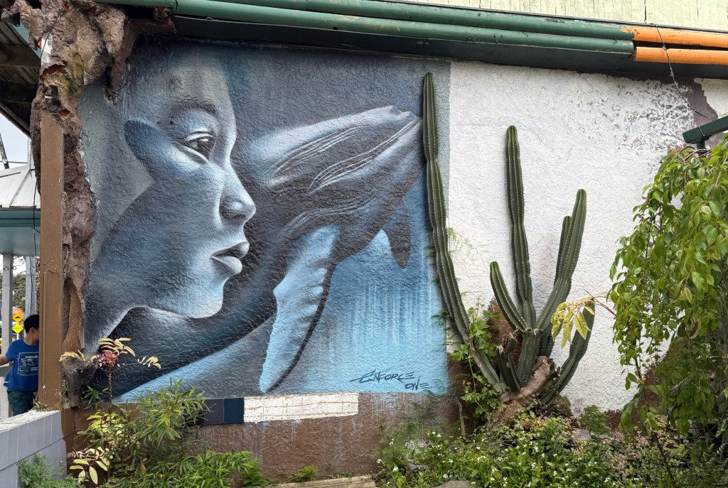
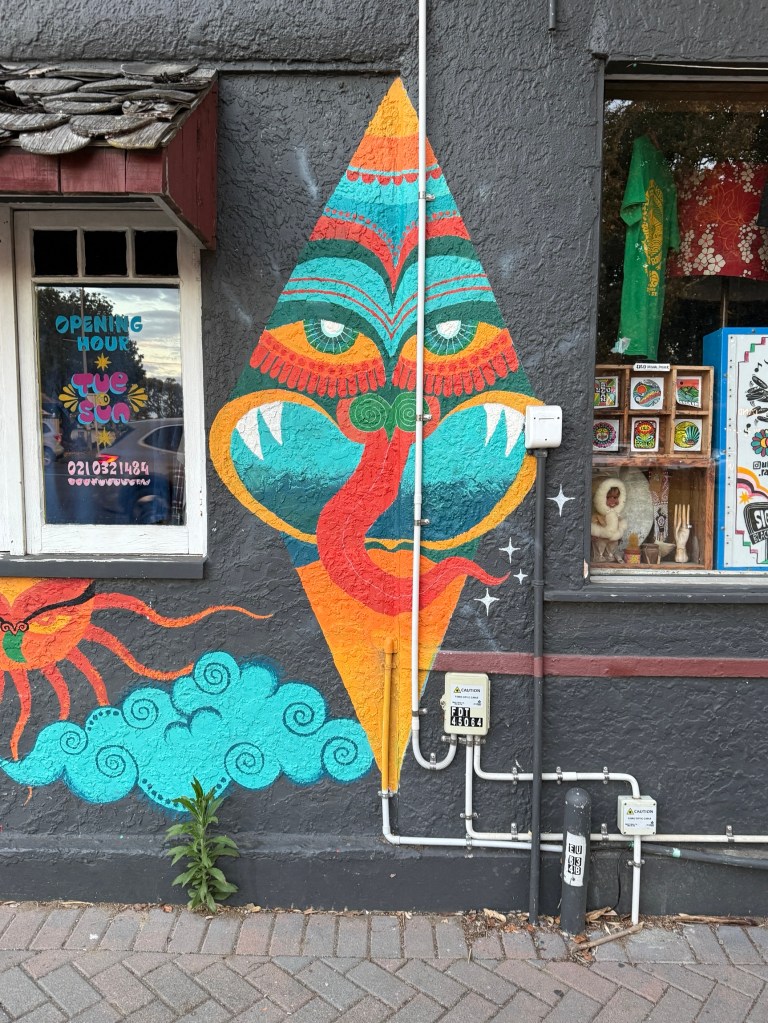
Didn’t have time to check out the live music scene; that is a hang-out for bohemians. Maybe some of the surf set are bohemians, they though mostly just seemed focussed on the surf when we saw them at the beach.
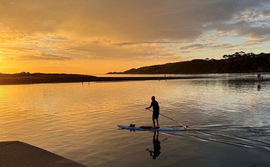
Then had a little wander down to the wharf, Raglan township is on a small estuary, to watch the sun go down. A siren went off and Allthego checked with a local as to whether it was a Tsunami warning. No, not a Tsunami just the daily emergency siren test. All ok.
Back to the Harbour View Hotel for dinner, we settled for a steak burger each. These were more like a steak and salad dinner in a bun. Very tender piece of meat. Chips too of course.
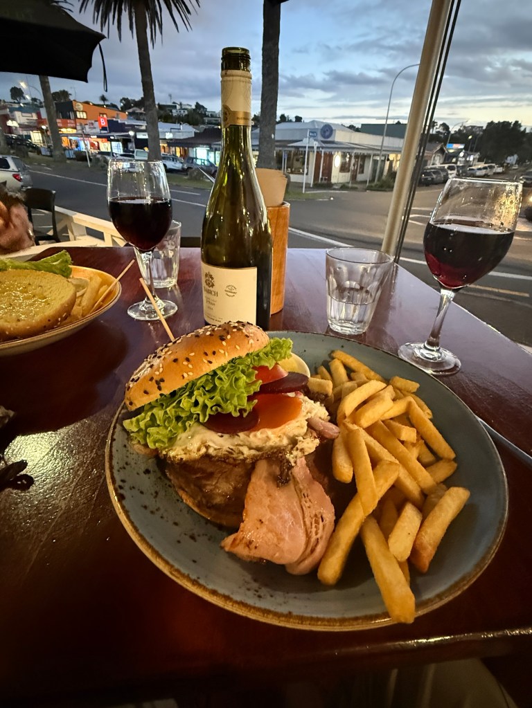
Next morning before heading the 70km to Cambridge we had our now normal look around the town for interesting bits and pieces.
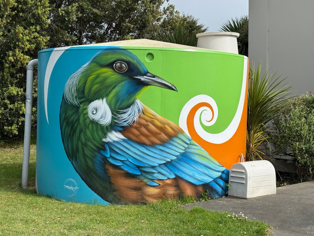
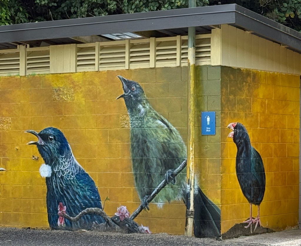
Allthego is very keen on murals and always seeks them out. Some are better than others. We have seen some good ones on this trip. Bird ones seem to be popular in these parts. The water tower was excellent!
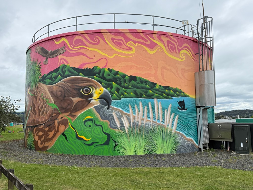
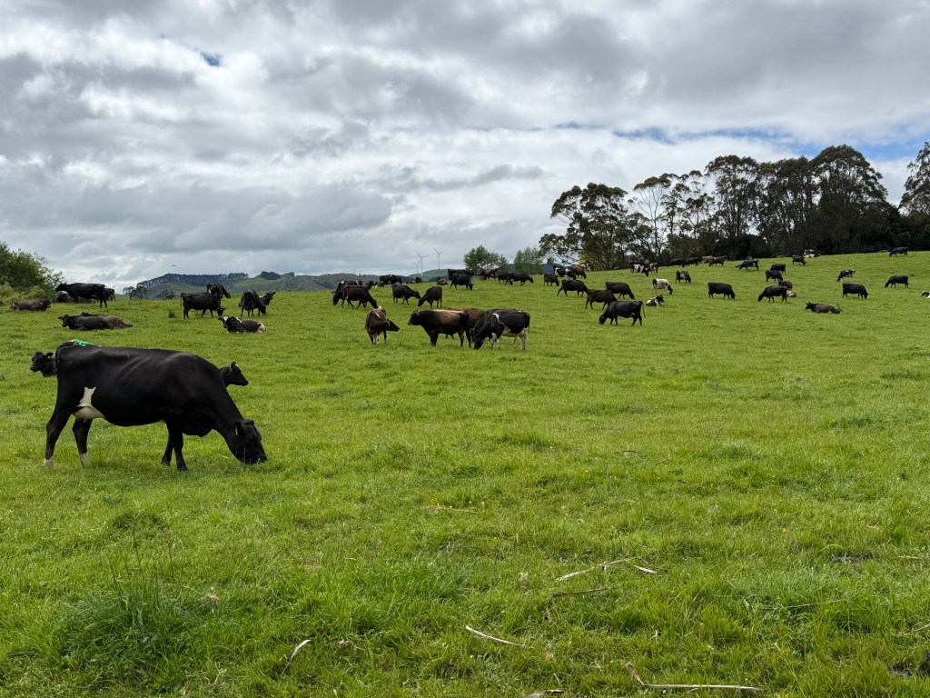
The road to Cambridge took us through the usual lush pastures and picturesque countryside.
We had a stop along the way at Bridal Veil Falls. An impressive drop of 55m into the pool below. The top of the Falls is an easy 15 minute walk from the carpark.
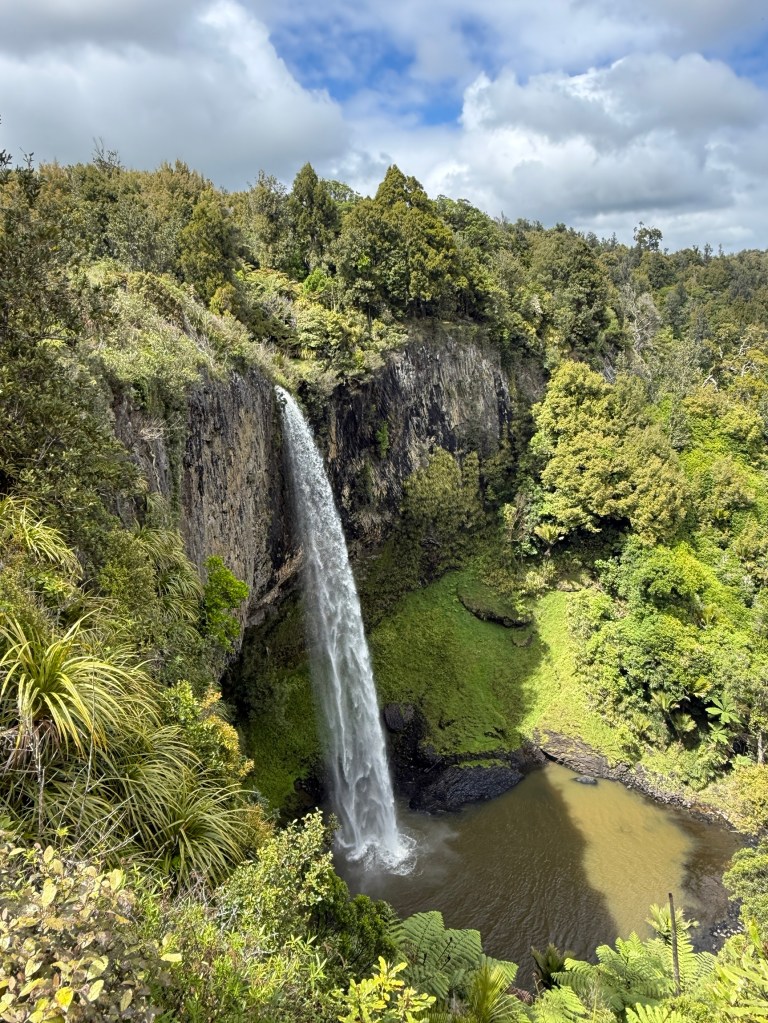
Allthego found the walk to the bottom of the Falls more like going down a step ladder, 235 steps. There was a good handrail and the pathway was well maintained. A bit puffed on returning to the top though.
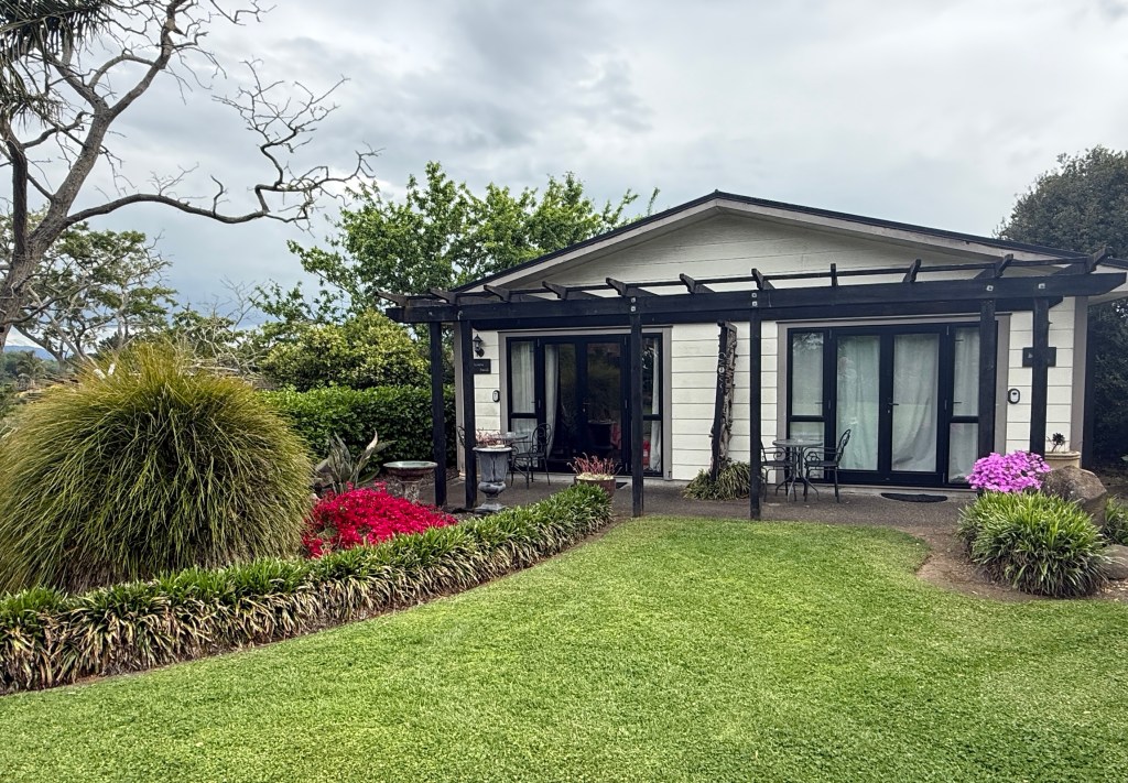
Then on to Cambridge for two nights. Staying in a neat little villa overlooking some well kept lawns and gardens. The weather forecast is not looking good, the week ahead has storms and rain on the radar for most days.
Coromandel
It was a long day circling around the Coromandel Peninsula from Thames, it stretches 85 km north from there. We probably missed a few things on the way, but couldn’t miss the great scenery!
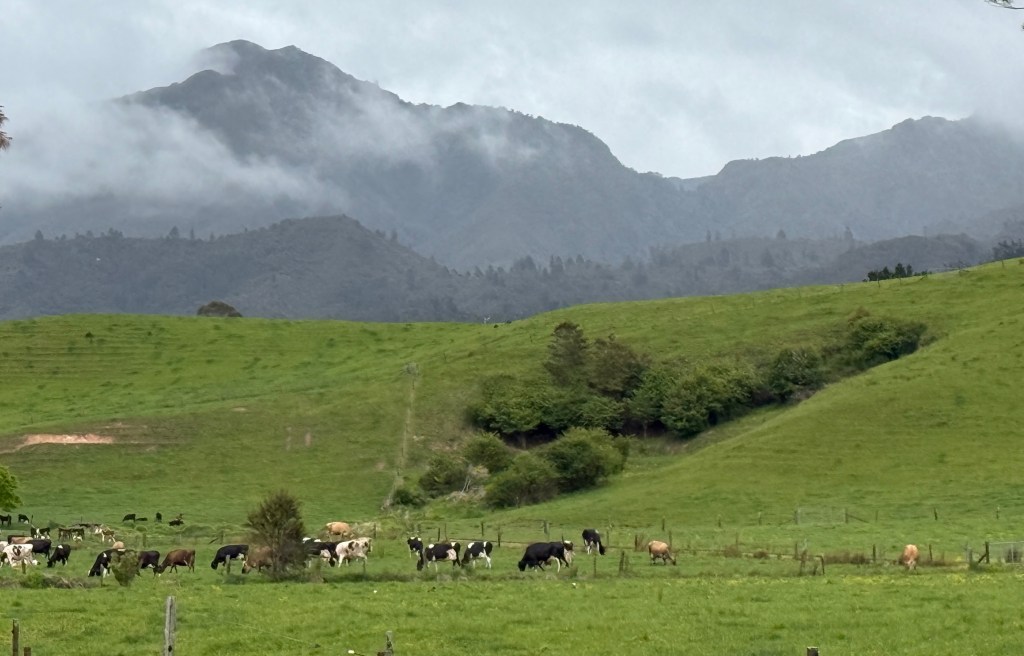
The peninsula forms a barrier between the Pacific Ocean and the islands in the Hauraki Gulf, protecting Auckland Harbour from the worst of nature’s elements. On a clear day you can see the peninsula from Auckland and when we were on Waiheke Island the Coromandel was a smudge on the horizon. Visibility out to sea was not great that day. The peninsula is named after an English ship HMS Coromandel that moored here in 1820 to buy Kauri timber, the ship itself was named after the Coromandel Coast of India.
We had a couple of objectives. The first was to visit Cathedral Cove on the west coast. The second was to complete a ‘train’ ride up the mountains behind Coromandel Town at the northern end.
We went anti clock wise from Thames up the east coast and came back down the west coast. At either end we had to cross some mountainous terrain.
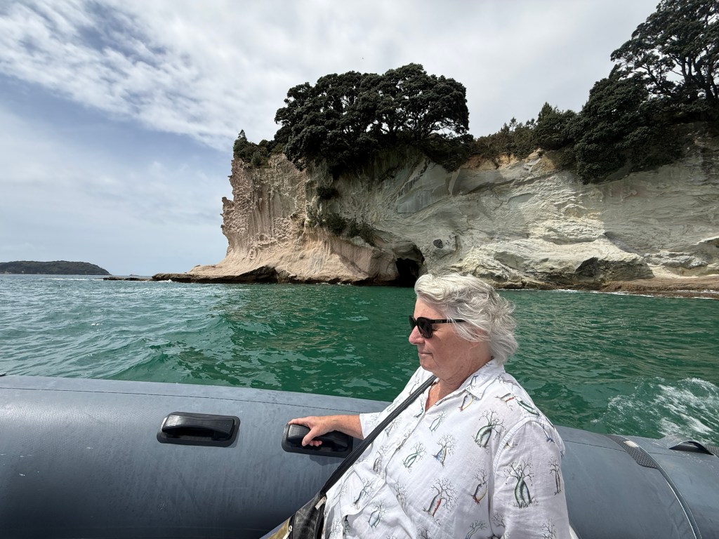
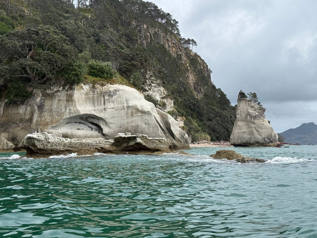
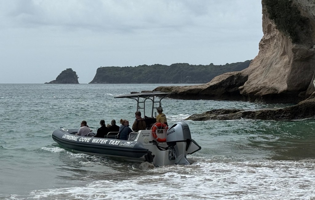
Cathedral Cove is an amazing landform, it is about two thirds the way up the east coast. The ‘Cathedral’ has been carved by the ocean and provides access to the Cove for a few hours either side of low tides. There is a headland walking track in but we were time constrained and caught a water taxi there instead.
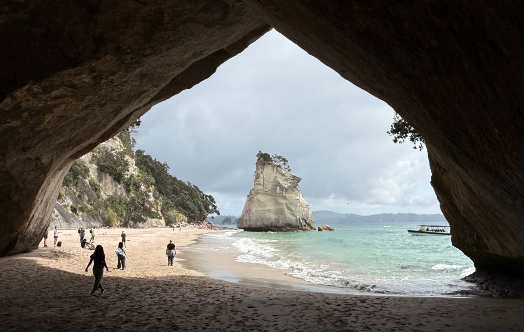
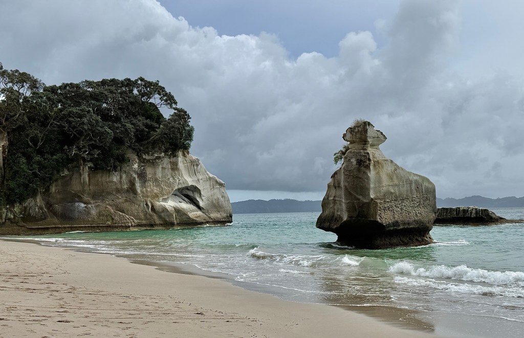
Easy choice and about 10 minutes either way. Nifty little transport, picks you up on the sand and sets you down on the sand. No wet feet!
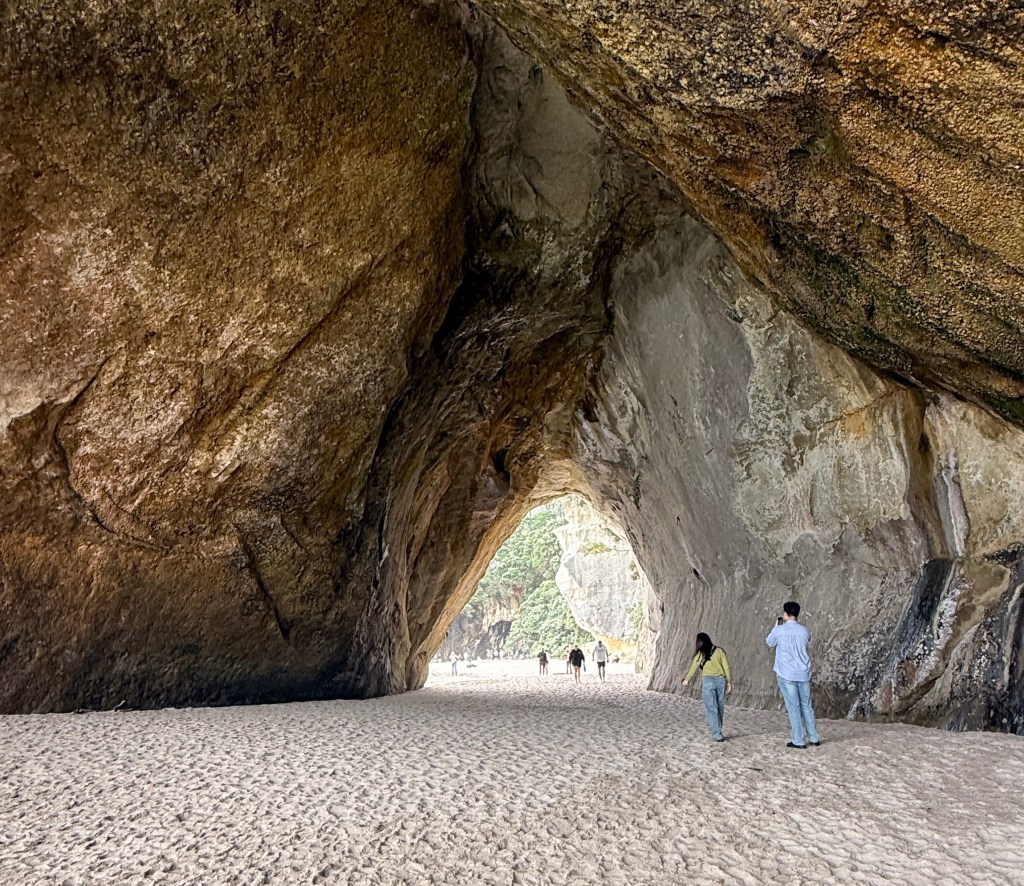
Cathedral Cove is a pretty unique place, the NZ government is I believe going to introduce an international visitor fee to get there sometime in 2027. All under the guise of improving the visitor experience. What ever that means, we like it just the way it is! Free to locals of course!
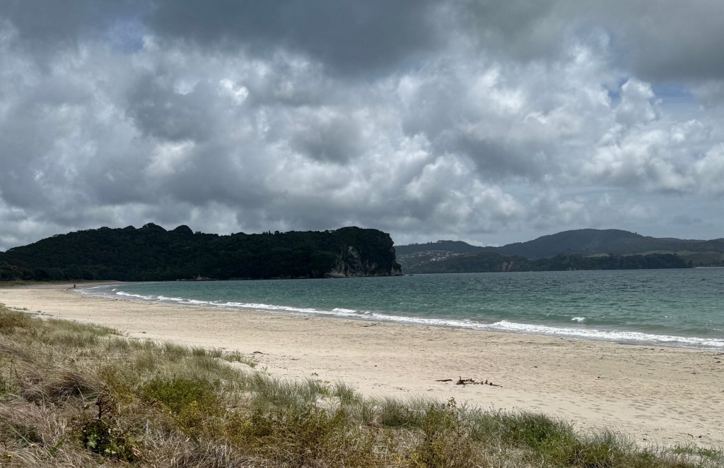
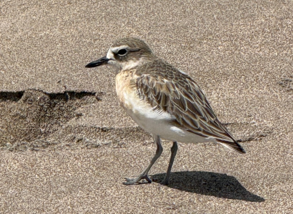
A little further along the coast from Cathedral Cove is Cooks Beach. Cook stopped here in 1769 to record the transit of Mercury across the Sun. The whole area is known as Mercury Bay.
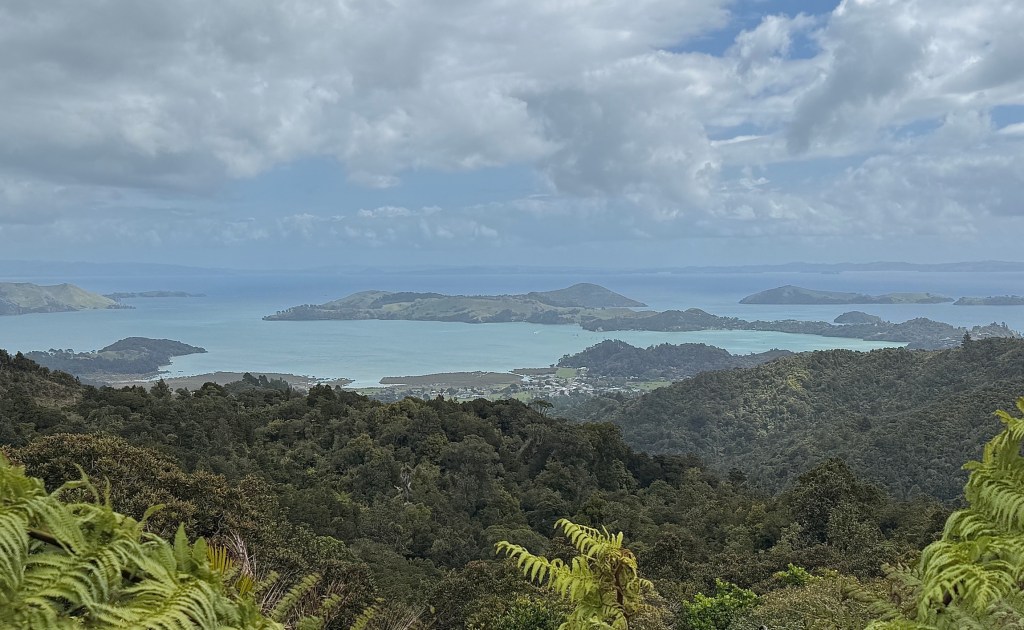
Moving on from Cooks Beach we motored further up the coast crossing over to Coromandel Town near the top of the peninsula. A hilly and in parts steep drive.
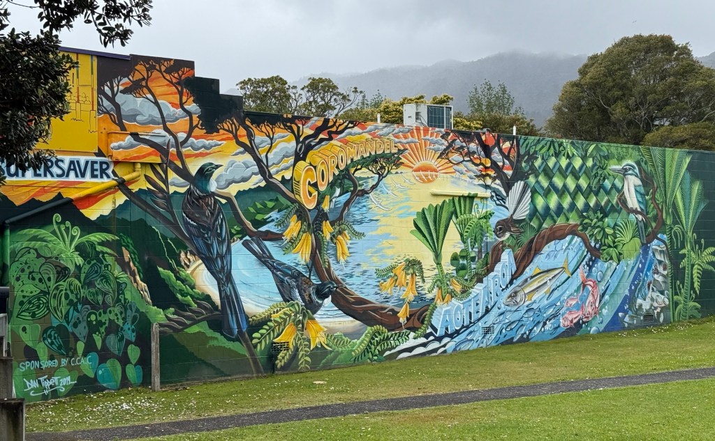
The main attraction up here is a narrow gauge train ride up the mountain behind the town. Built over a period of 20 odd years from 1973 by a local artisan and potter, Barry Brickell. He basically built it all by himself, with bulldozer help on significant areas of the track. initially to transport clay for his potting workshop from higher up the mountain.
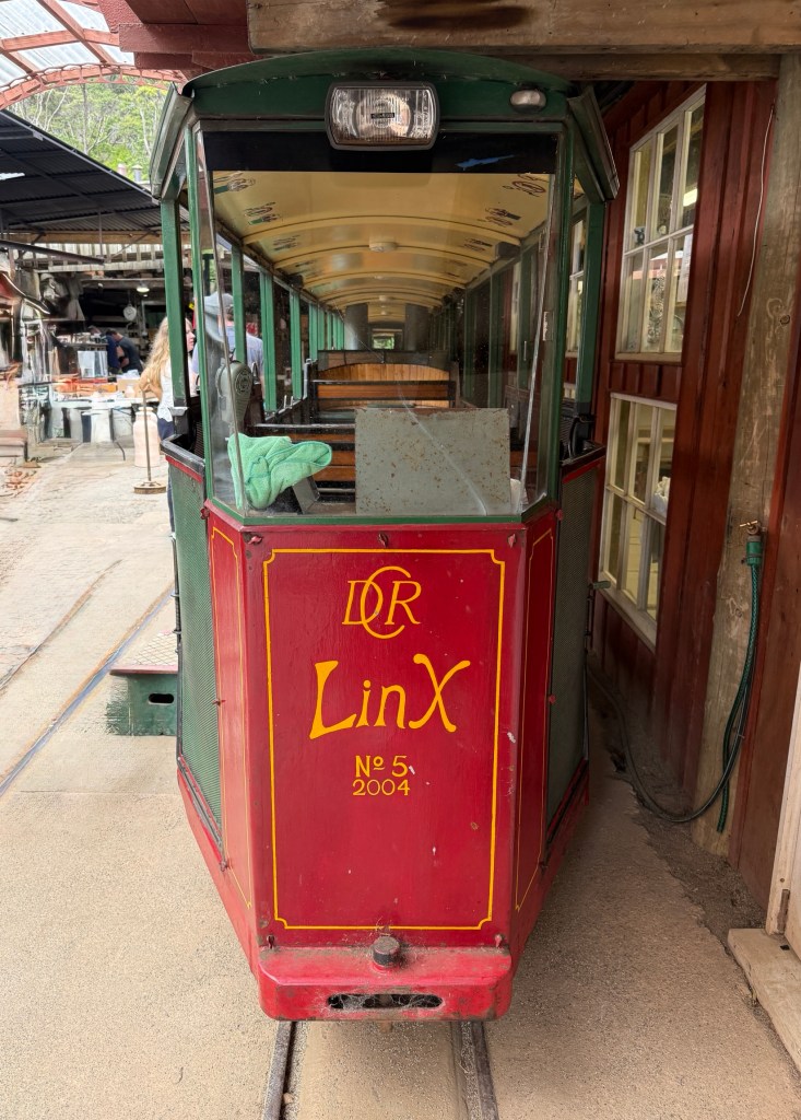
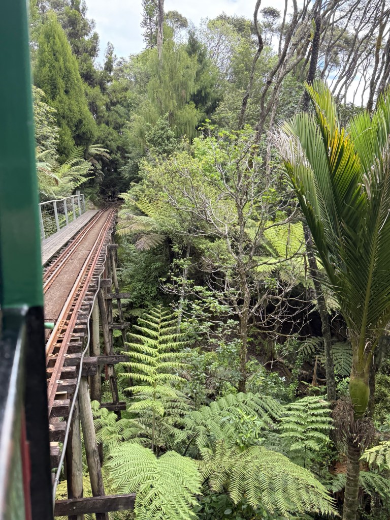
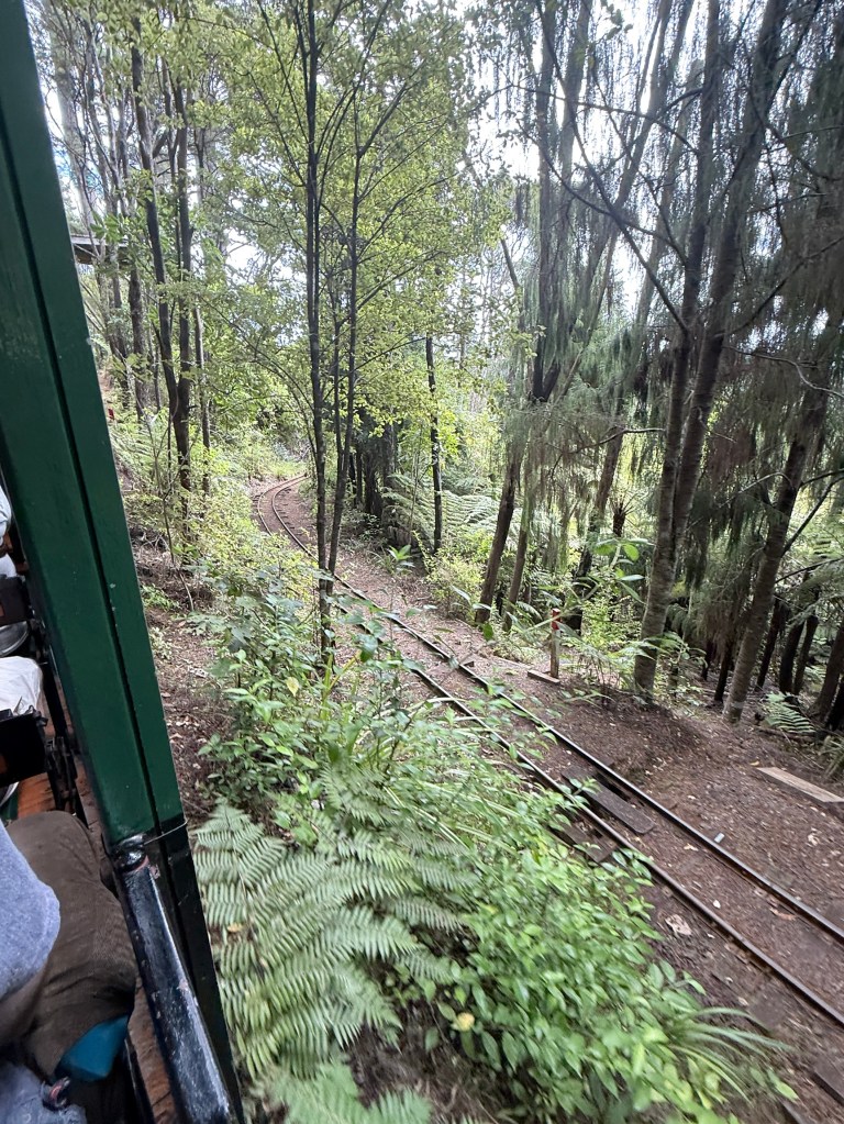
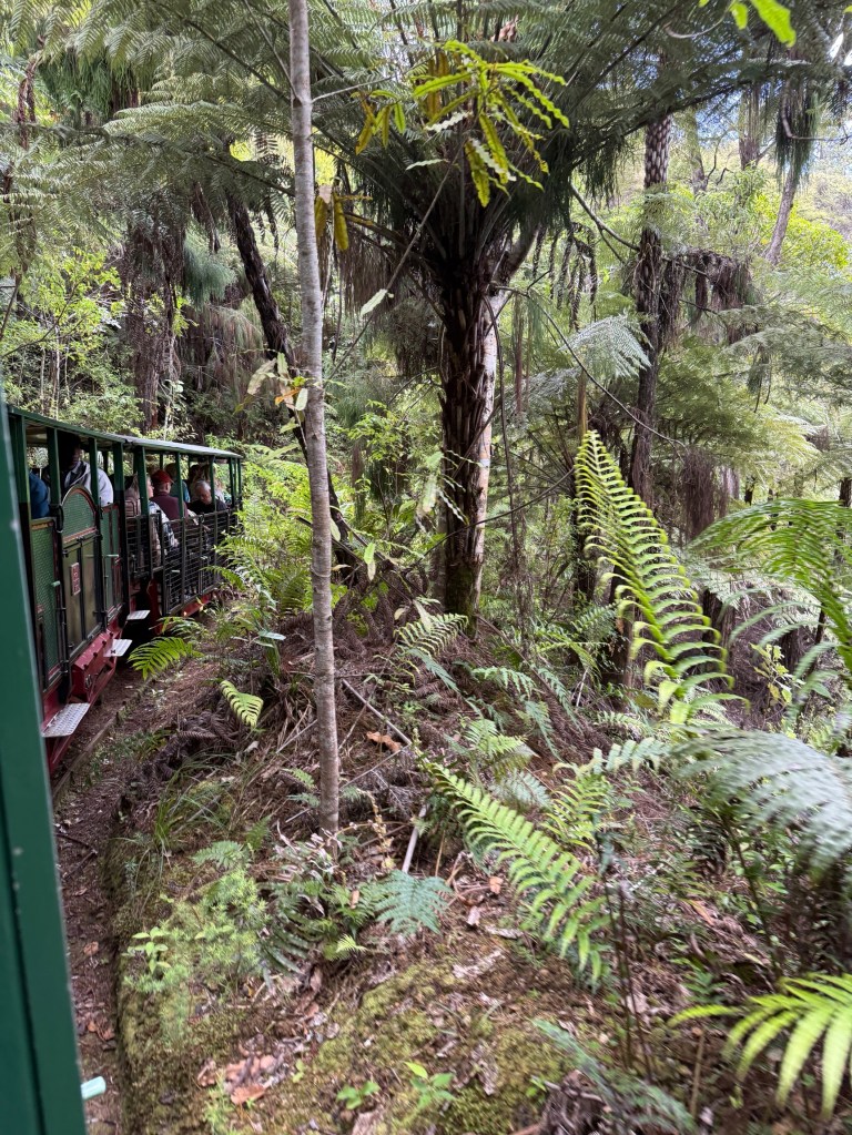
The railway climbs up through a number of tunnels, spiral turns, and switchbacks. It crosses a few bridges, including a double decker one. The bottom level on the way up and the top level on the way down.
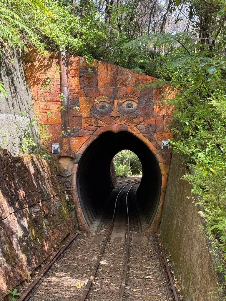
You had to keep heads and hands in going through these, only a few centimetres between the train and the tunnel walls.
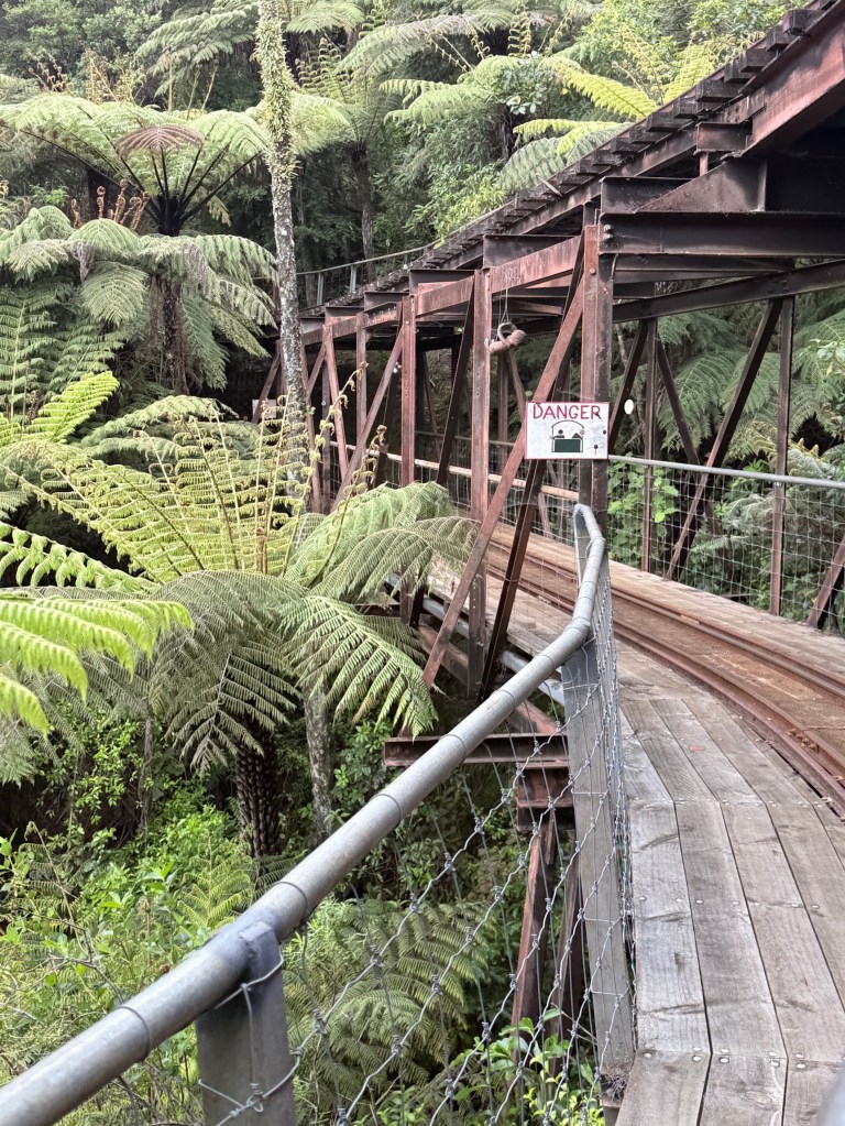
Homealone found this the most exciting section!
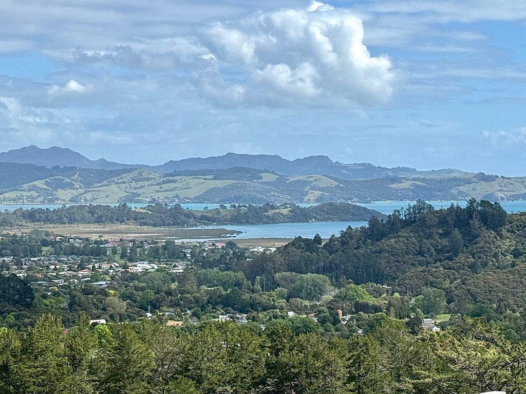
At the time the landscape was far from pristine, damaged by logging and invasive plants and feral animals, particularly possums and stouts. He set about restoring the landscape and removing the feral animals. He died in 2016 and the railway continues as a tourist attraction, as does the pottery operation and an artist’s retreat. An amazing piece of work, great views from the top of course!
A short distance from the railway is a campground and reserve area nestled up against a headland. There is a short walk here up through the sub tropical rain forest to a grove of Kauri trees. Most of them are small ‘saplings’ but one rather large tree remains.
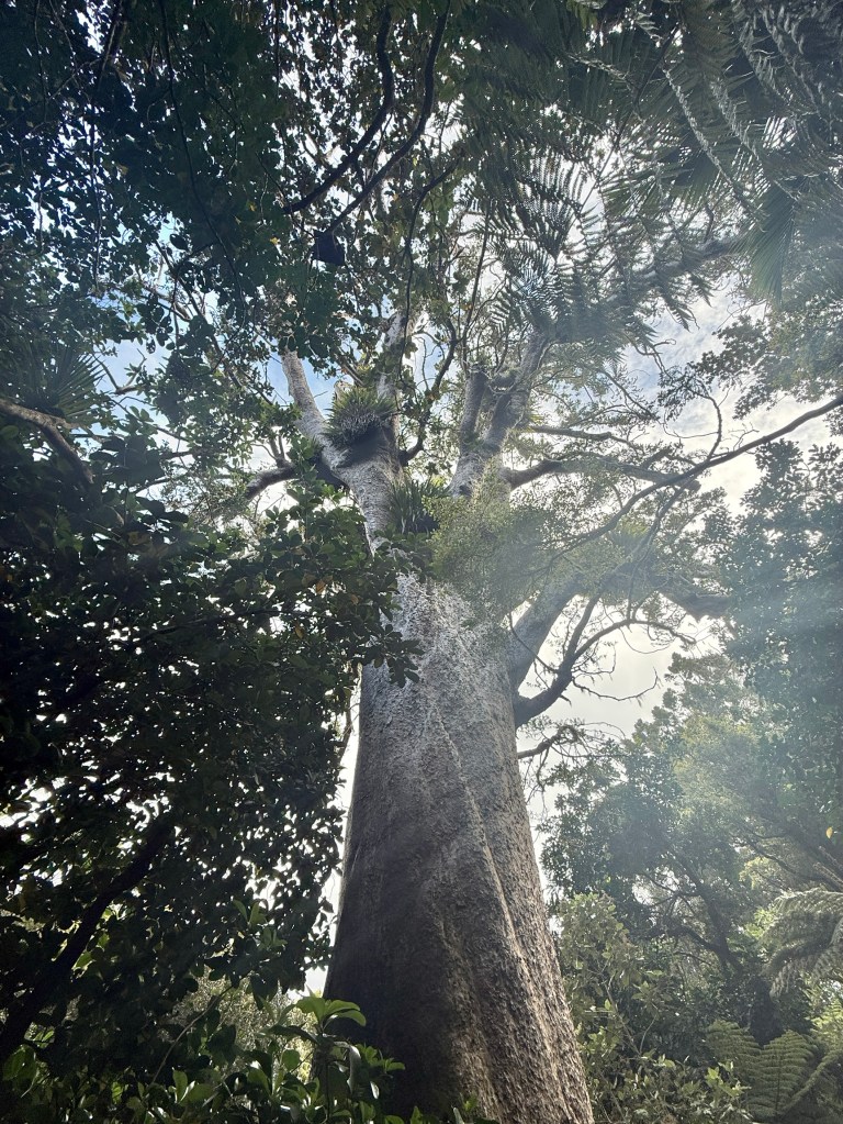
It is estimated to be over 1200 years old, spared from logging probably because of its twisted knotty trunk. Awesome sight in the forest!
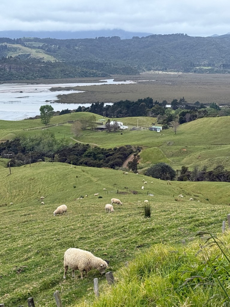
Back on the road we made our way down the east coast back to Thames. More of the hilly up and down narrow road and views of the coastline.
Towards the north and then back south
To the north of Auckland lies what is known as Northland. It becomes increasingly less populated as you travel north, particularly after you reach Whangarei about 160km from Auckland. It is quite large with an urban population of 56,000 and another 50,000 in the surrounding region. From Whangarei it is another 250km or so to Cape Reniga, the tip of the North Island.
We are only going as far as Whangarei on this trip. On the way up we went along the east coast scenic route, avoiding the motorway and tollway up the middle.
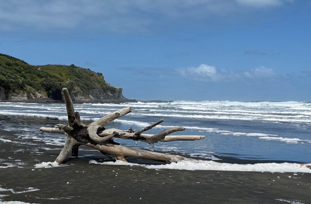
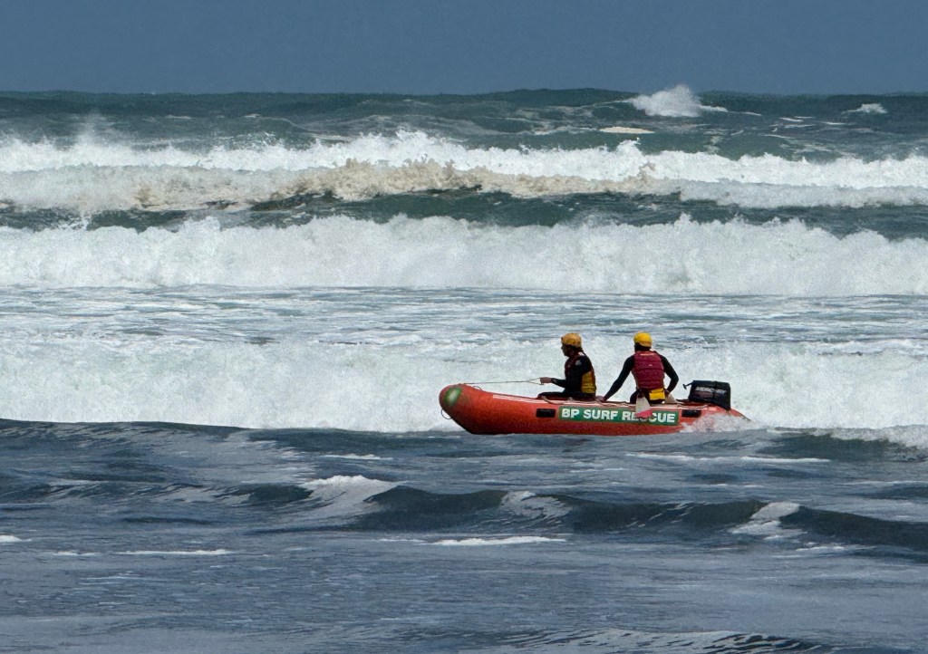
We had a short detour off the main road to Muriwai Beach for a look at a black sand beach. A wild and woolly surf was running, no swimmers but the lifeguards had runs up and down the beach in one of their inflatables. Protecting someone I suppose and of course getting in some wild water practice.
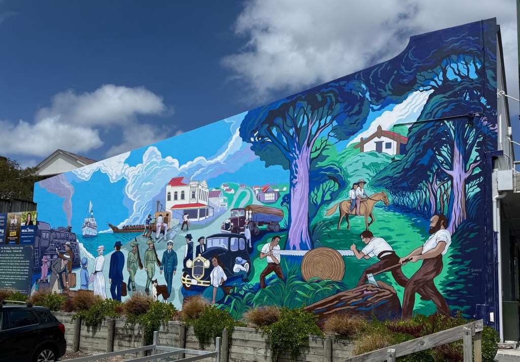
Further north we stopped off at Helensville for a lunch on the run. Helensville was formerly a significant regional trading centre at the bottom of Kaipara Harbour. The harbour is actually a series of interconnected drowned river valleys with a treacherous narrow estuary entrance. Since the decline of forestry operations it is no longer used for shipping.
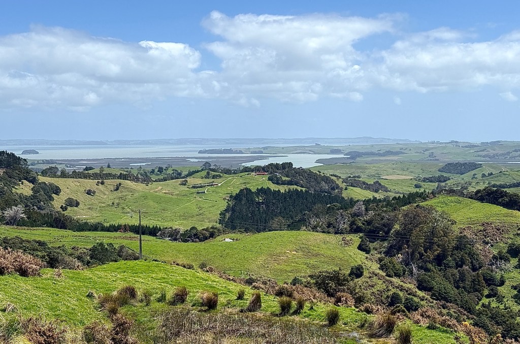
Our route took us further north along the shores of the harbour and across some hills and valleys to eventually arrive in Whangarei on the east coast in the late afternoon.
We only had two nights here and the next day we had to cherry pick from a wide range of exploration opportunities. So much to see!
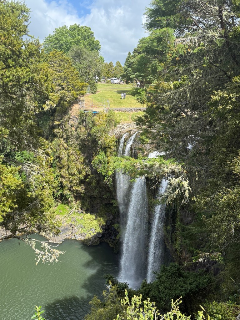
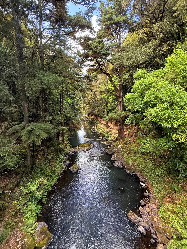
The Whangarei Falls are a must do and after having a look there we drove out to Whangarei Headland.
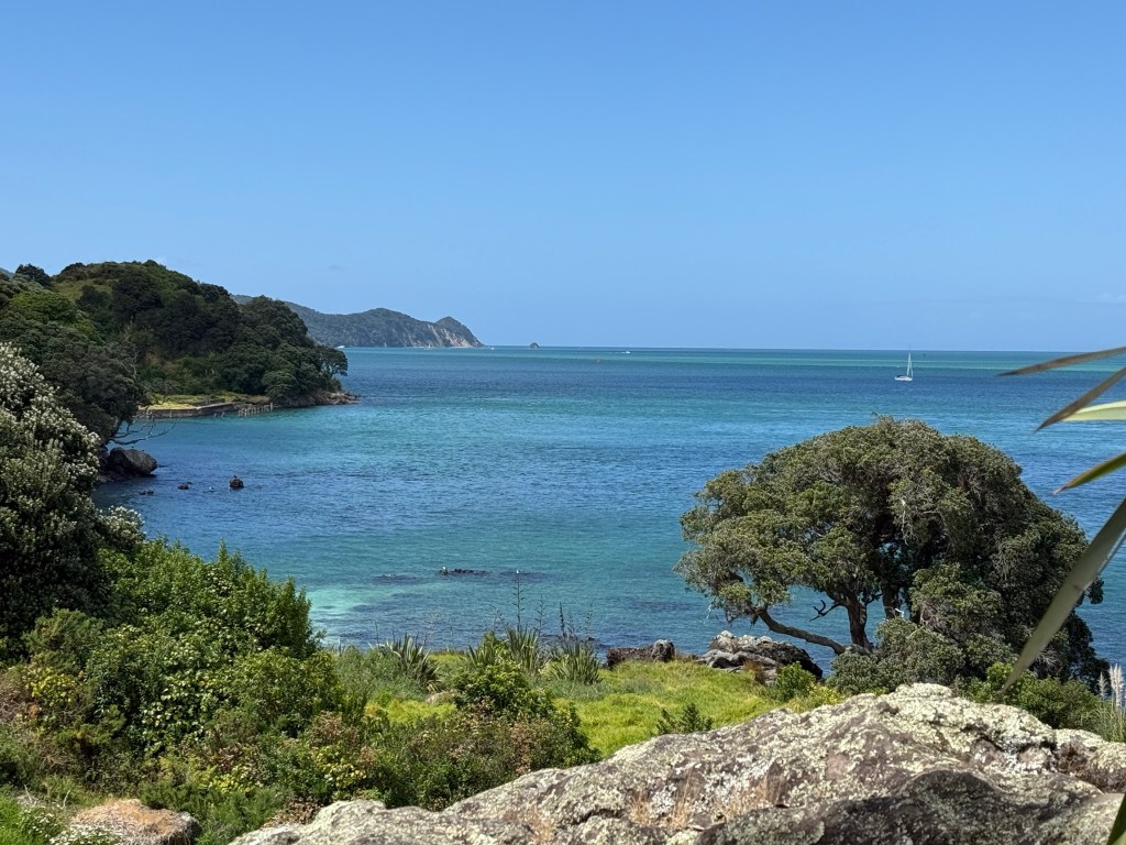
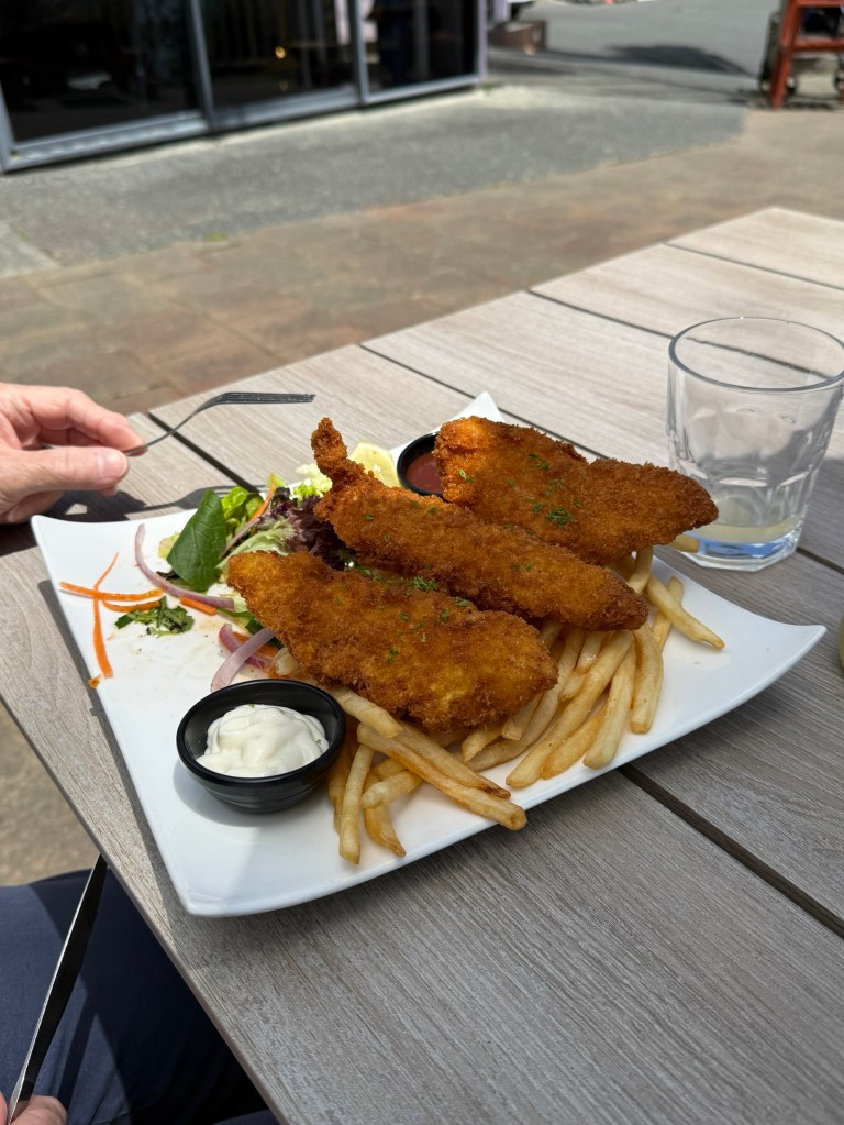
We managed to get lunch in at a cafe at McCloud’s Bay, high on the hill overlooking the water. But it was fush n chups again! Getting boring, this time though it was John Dory, a rather tasty fush. Homealone had hers breadcrumbed and Allthego had them pan fried, no batter!
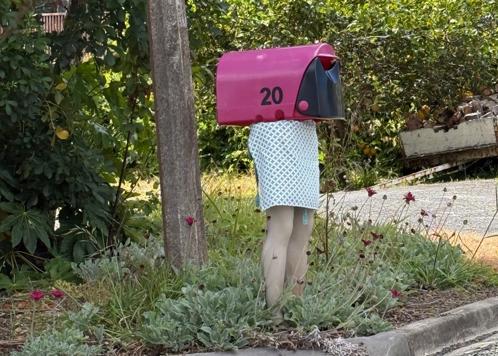
Just around the corner from the cafe we saw a wonderful letterbox, a great idea for Christmas! Who thinks of these sort of things!
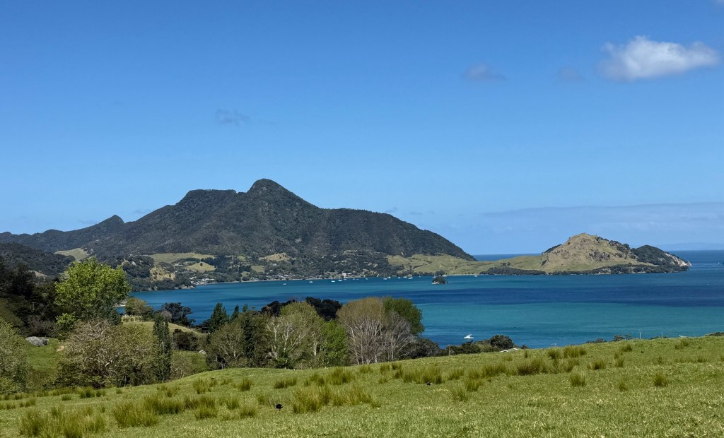
The road took us along the harbour foreshore and the small villages that dotted the route.
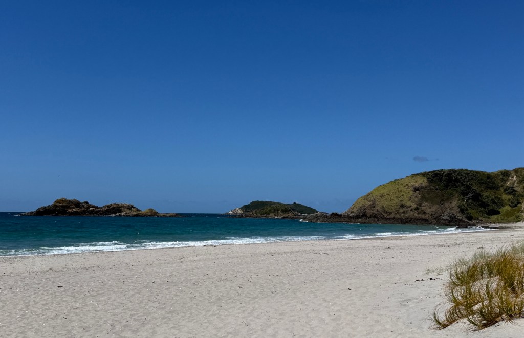
We ended up at Ocean Beach , a magnificent stretch of white sand. A great comparison to the black sand at Muriwai Beach.
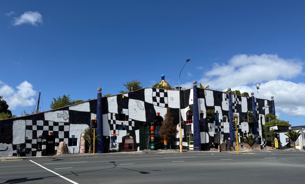
One could spend several days in Whangarei but we had to move on back south. We took sections of the western coastal route south, rather than the motorway. Like the east coast we had great landscapes and scenery to witness.
There were two interesting little towns we dropped into on the way.
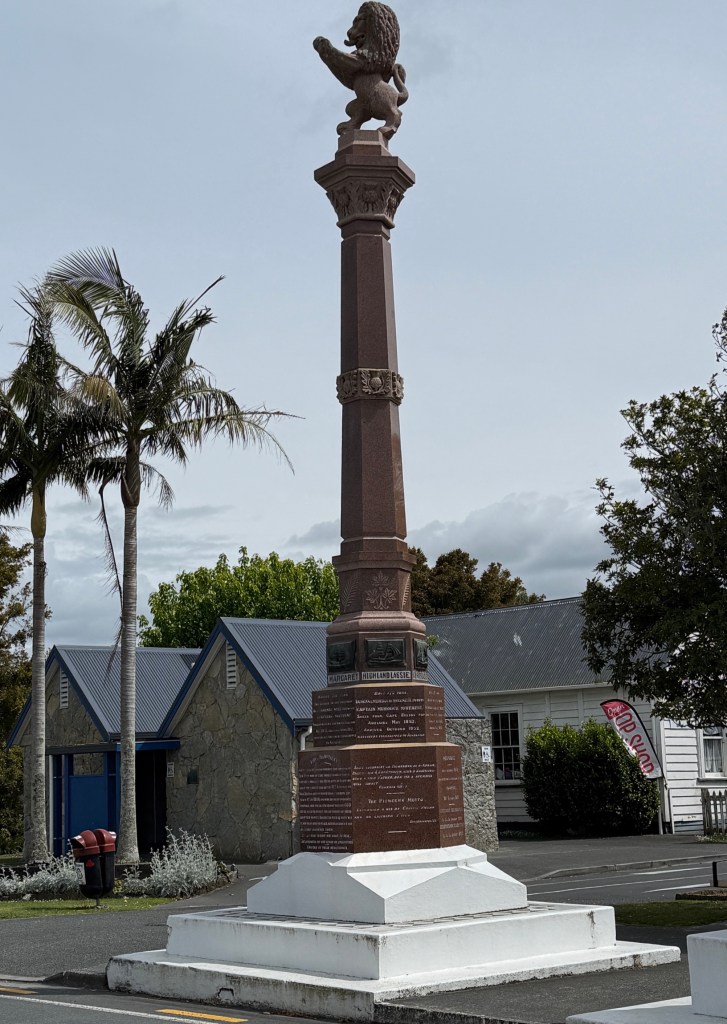
Waipu was founded by a group of Scottish emigrant families in the 1850s. They arrived here from Nova Scotia, in present day Canada, rather than directly from Scotland.
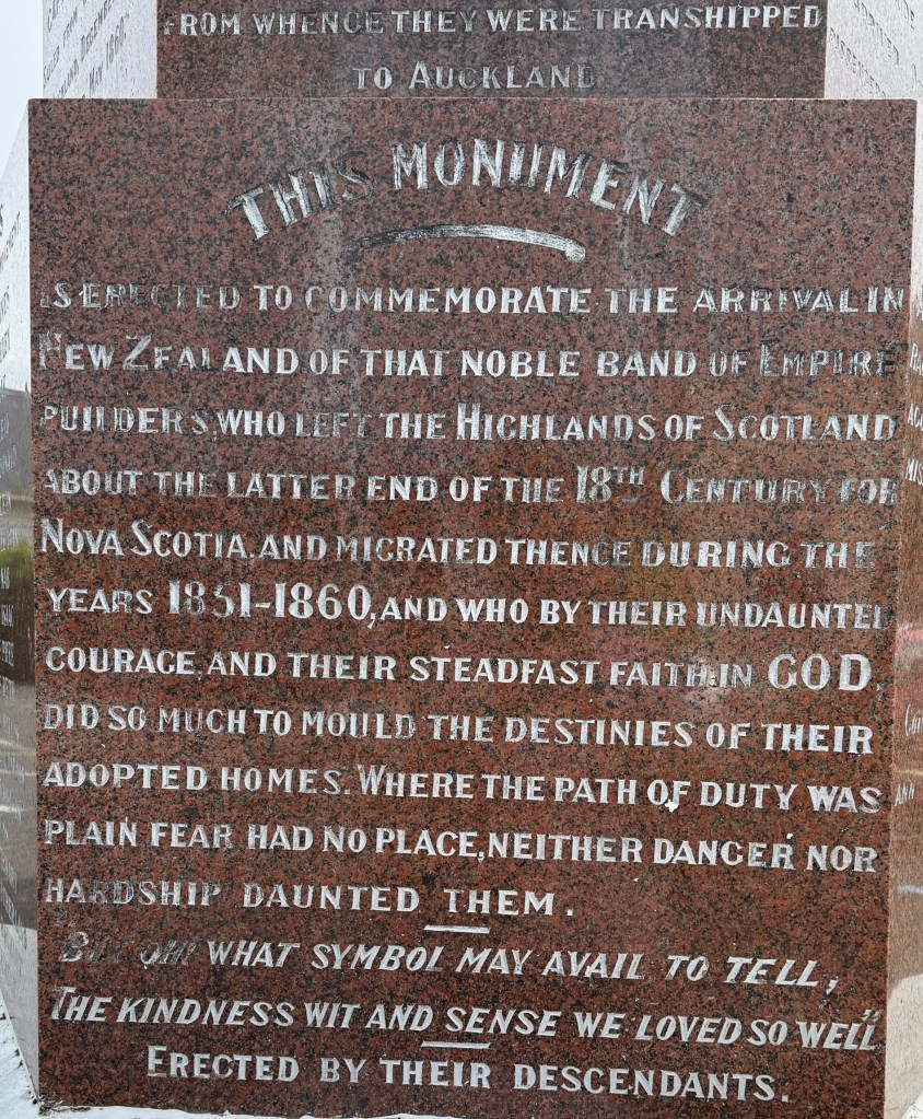
The families had originally migrated to Nova Scotia in the late 1700s during the ‘clearances’ of the Scots people from their land in the Northern Scottish Highlands by the English to expand sheep farming.
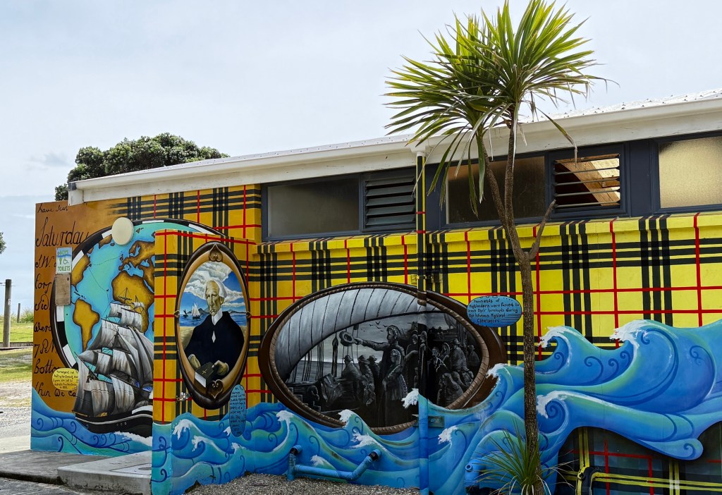
They left Nova Scotia in two ships they had built themselves, during the potato famine, seeking a new start in Australia. They arrived in Adelaide in drought and couldn’t establish themselves, later moved to Melbourne during the gold rushes again failing to get land. Finally, off to Auckland where land was granted in the Waipu area.
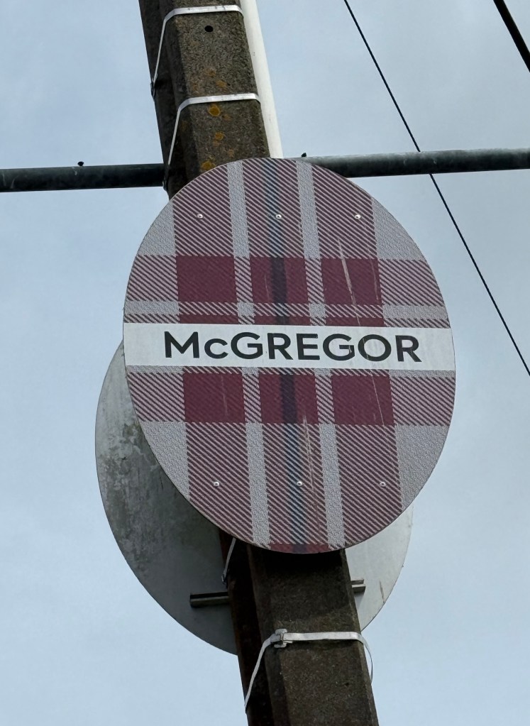
Here they established their community and another four ships arrived. Usual clan names including families of McGregors and Buchanans.
Quite a lot of Scottish memorabilia around the town, they have a 31 December Highland Games celebration. No doubt it decends into a New Year’s eve Hogmaney!
Another historic little town we came across was Puhoi. The town was established in 1863 by a small group of 83 emigrants from the then Bohemia region of central Europe. Today, Bohemia is a major part of the Czech Republic. Like the Scots in Waipu they were after land grants to establish their community.
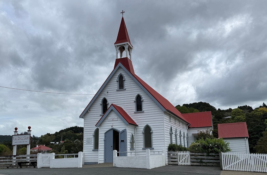
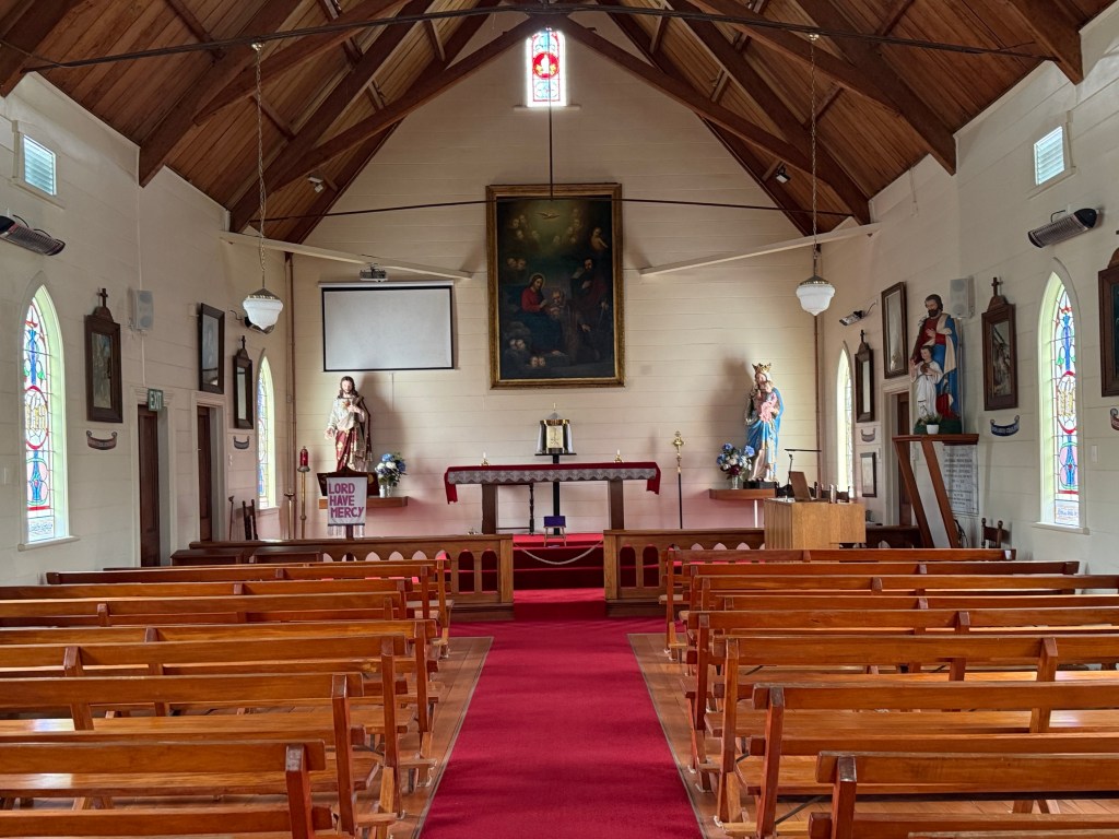
The emigrants were staunch Roman Catholics and did not pursue what we today refer to as a ‘bohemian’ lifestyle! The old wooden church they built in 1881 still stands and is left open.
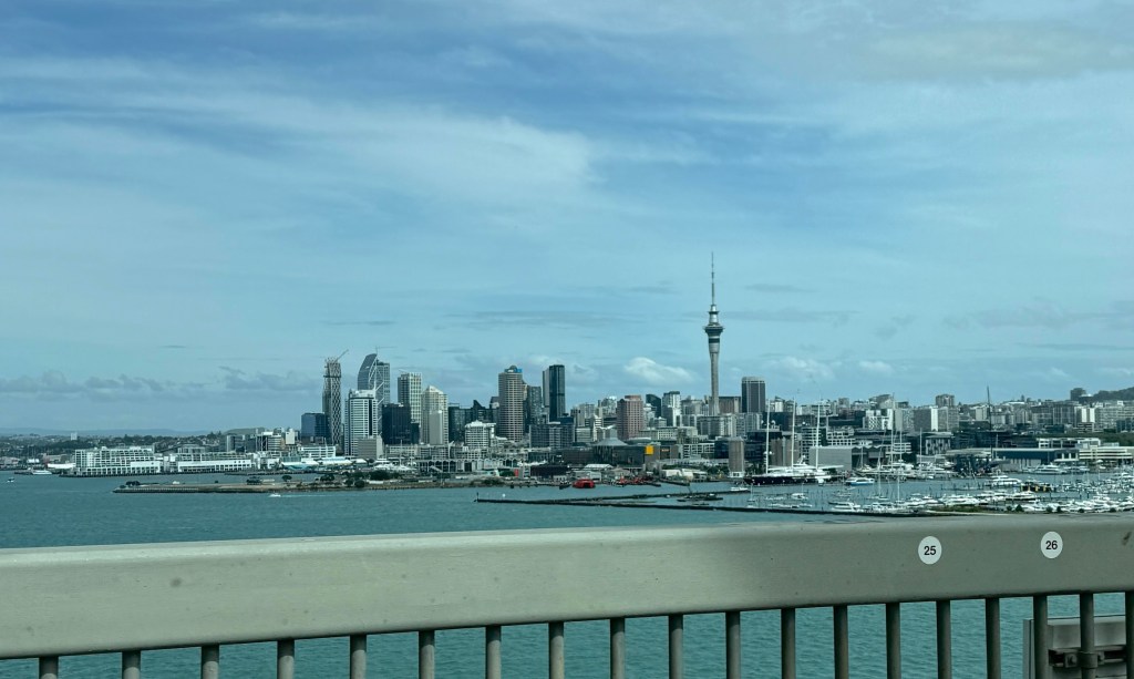
Back on the road we joined the motorway and continued south through Auckland, over the Harbour Bridge, and across to Thames at the bottom of the Coromandel peninsula. We had two nights there and a full day to circle the Coromandel.
A windy day in Devonport
One of the things we like to do is check out old places and little bits of history in the places we visit. Sometimes they are off the beaten track, but here in Auckland one is right here on a CBD corner.
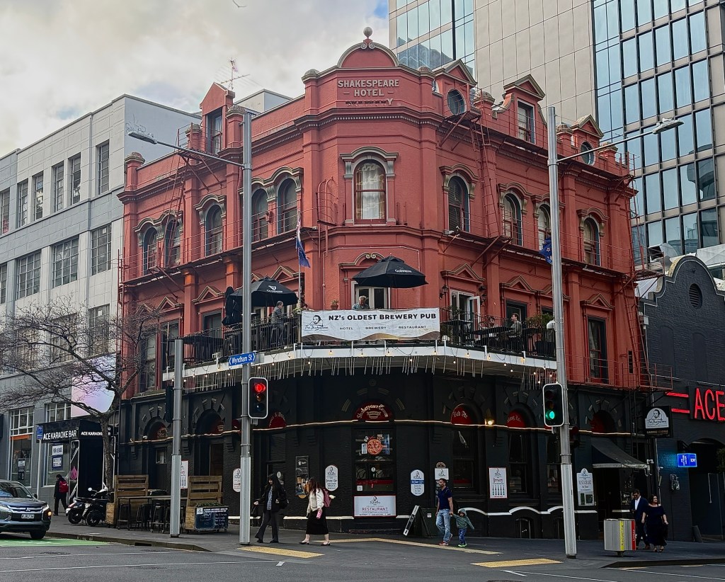
The Shakespeare Hotel, built in 1898. It is the oldest operating brew pub in the city, having a small craft brewery on site. The bar is at street level, a restaurant and an over street balcony on the second and some hotel rooms on the third.
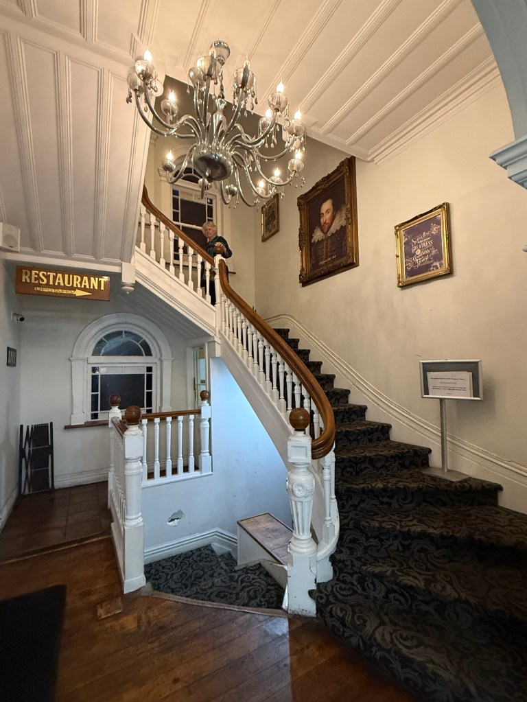
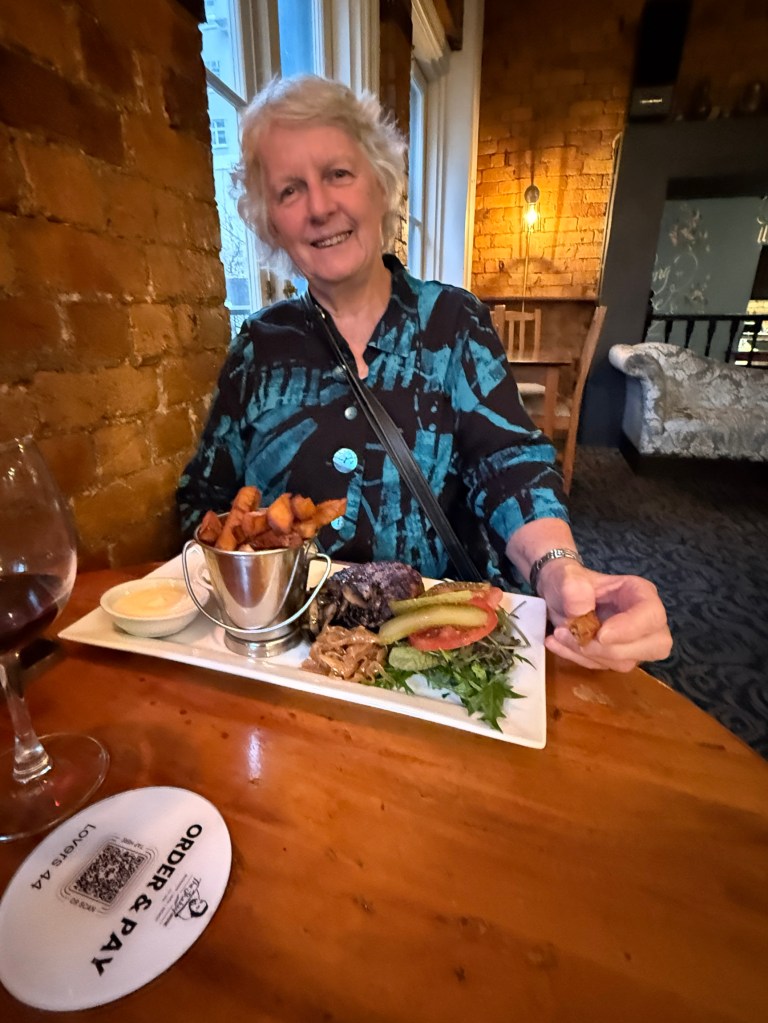
We couldn’t go past it for dinner after coming back from all the exercise on Maungawhau. Great spot.
Before heading to Devonport Allthego had a short walk around the hotel area looking for a Post Office. Some stamps were needed for postcards to be sent back home. Allthego doesn’t get postcards from people these days so he sends them to himself. Helps you know where you have been when you get back home and open the mail. No luck, but we eventually got some at a souvenir shop and some cards of course.
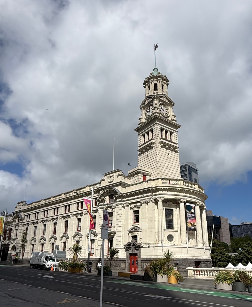
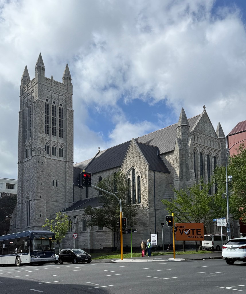
While doing the stamp search a few local buildings of note were discovered.
The ferry trip across the harbour to Devonport only takes about 15 minutes. It is a suburb of Auckland, but has a history going back to the early days of English settlement and before that Maori times.
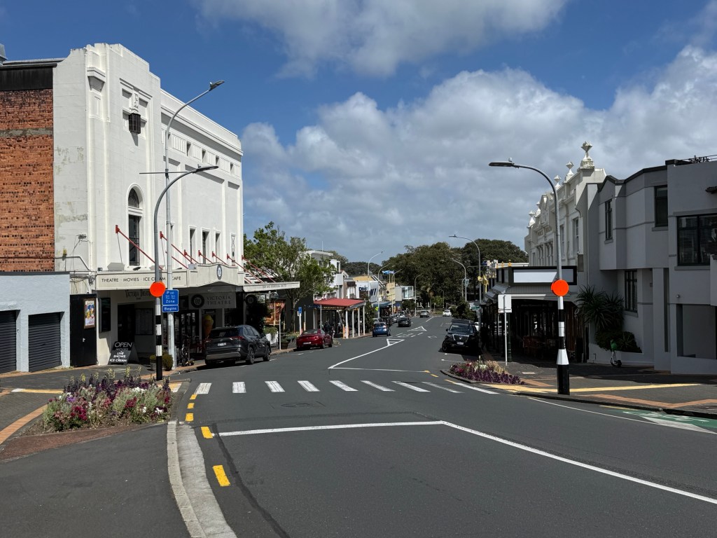
There is a 1950s /60s flavour to the streetscape. Old buildings repurposed and restored.
Mt Victoria looms over the town and is a short walk up from the ferry terminal. The dormant volcano is only about 70m high but it had always occupied an important vantage point for Auckland. Firstly, the Maori used it as a homealand. Later, the British established a fort on the top with gun placements that protected the harbour. It was used through both world wars. A cannon is still in the place where it was located in the late 1800s.
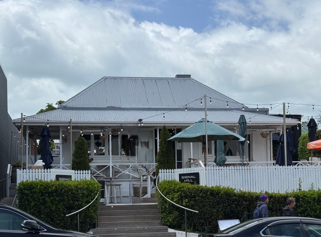
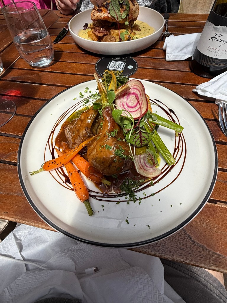
Before ascending the volcano lunch called. We had read about the ‘Signal Hill’ restaurant. Signal Hill was the former name of Mt Victoria which had a signal house on its slopes to guide shipping in the harbour. After lunch Homealone passed the ascent opportunity and remained at the restaurant with a cup of tea. Allthego went ahead. Great walk up to the top. Views all around the city and harbour.
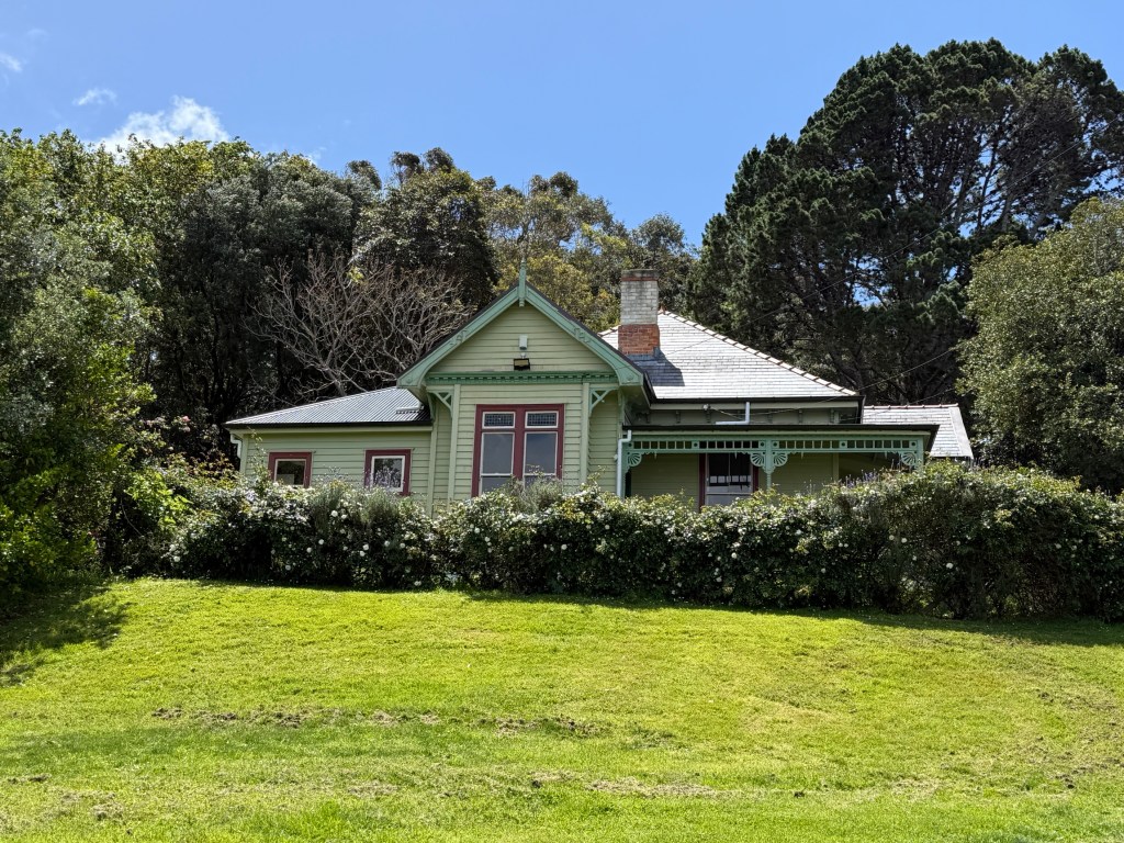
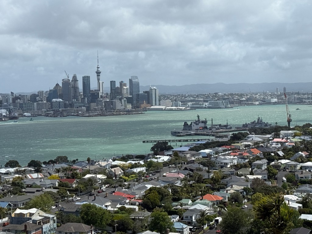
A volcano normally has a crater at the top, unusually this one doesn’t. But, it once did. Some time back it was filled in by a water storage reservoir and covered over.
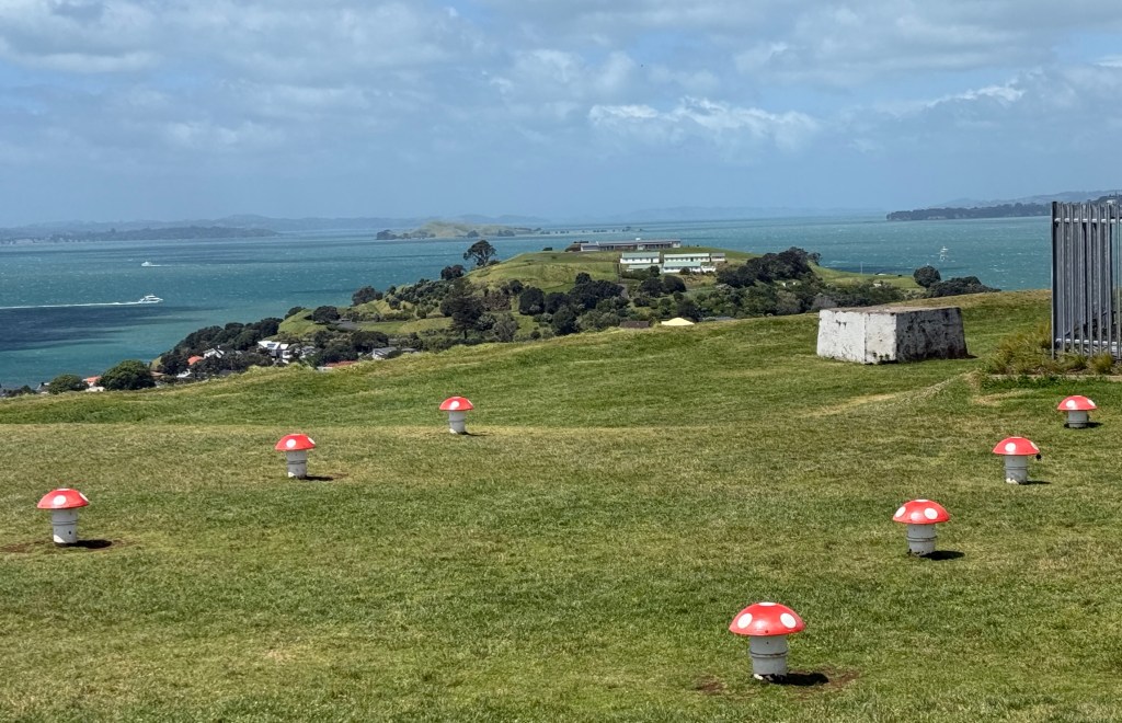
‘Mushrooms’ sit on the grass above the reservoir and provide ventilation to the complex. Water is provided to the town below.
The wind didn’t seem to be abating so Allthego made a speedy retreat back down to the restaurant. We then headed back to the wharf, via another actual post office for stamps, to catch the ferry back to the city. Quite a choppy trip back across the harbour in a new all electric vessel, very quiet!
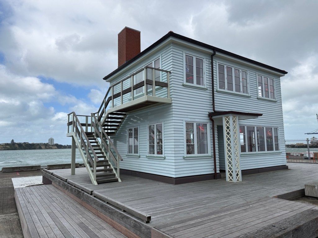
After getting ashore we went out to the end of Queens Wharf to have a close look at the replica of an old NZ wooden house that sits on the end of the pier. Inside there is a large highly polished sculpture of Capt James Cook on a stool looking in deep contemplation.
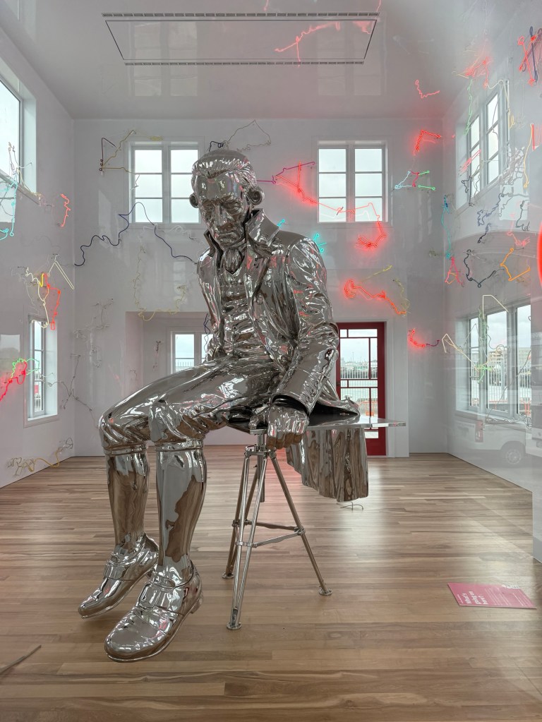
The brightly coloured neon lighting depicts the constellations of the southern hemisphere by which both Polynesian and European navigators used to sail the Pacific. A controversial art project that apparently cost a mountain. Interesting concept though I suppose!
It was getting a bit late in the afternoon, wind still blowing and it started to sprinkle rain, a bit chilly. So we hurried back to the hotel, had dinner in our room, a takeaway Subway salad bowl. Not bad after a big lunch!
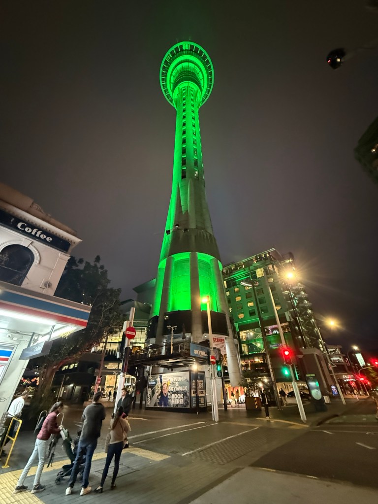
We then packed and prepared for our departure north in the morning. Car pick up is 10am.
E toru ngā rā e hura haere ana māua ki Tāmaki Makaurau.
‘The two of us are out and about exploring Auckland for three days’.
That is roughly what the Maori words in the blog heading mean.
In a bit more detail, it translates as follows:
- E toru ngā rā: For three days
- e hura haere ana: out and about / exploring around
- māua: the two of us (excluding the person being spoken to)
- ki Tāmaki Makaurau: in/around Auckland
Interesting eh? Mr AI helped me put it together. Hope he got it right. Apologies if not. There are interesting differences between Moari and English; underlying word meanings and syntax. I’ll get back to English now, I struggle with that enough as it is!
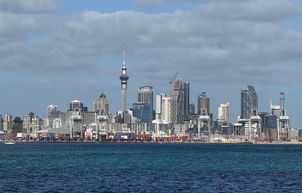
Our first excursion took us out for the day to Waiheke Island, about a forty minute ferry trip from the Auckland CBD into the Hauraki Gulf. Waiheke is a very pleasant spot. A hop on hop off bus takes you around the western end of the island visiting the two main beaches and nearby villages.
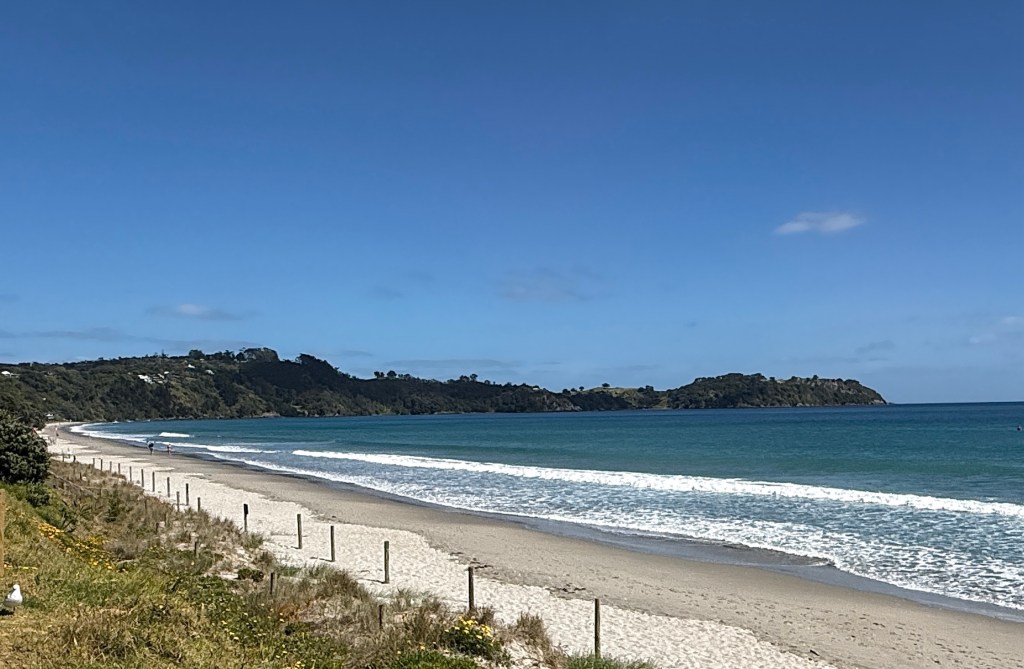
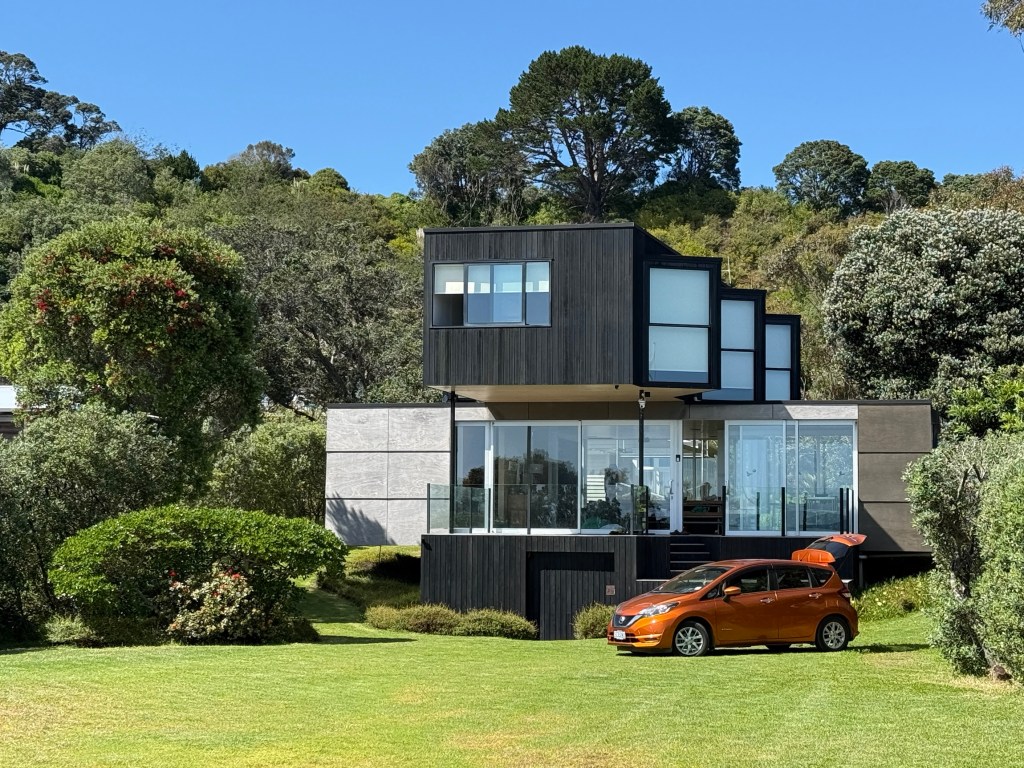
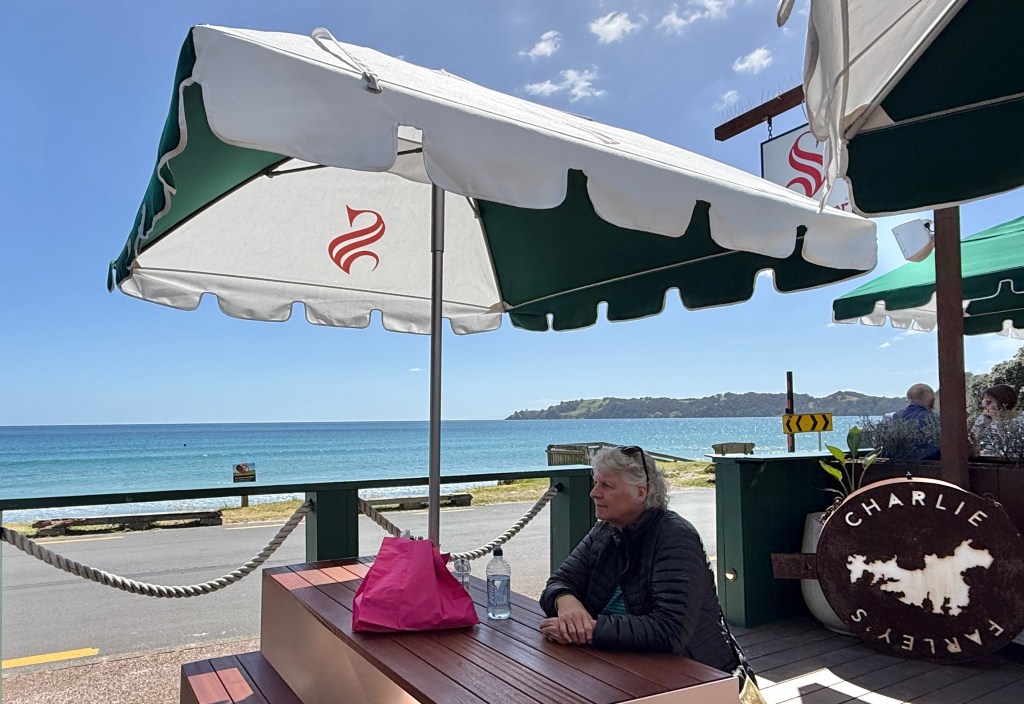
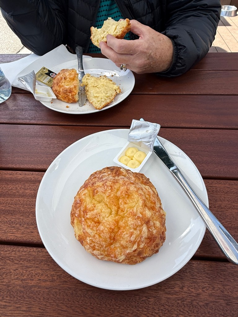
Apparently, scones are all the rage in NZ at the moment. These ones were pretty tasty, crunchy outer cheesy skin and a soft interior!
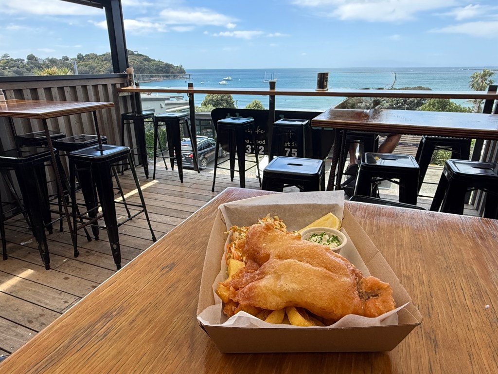
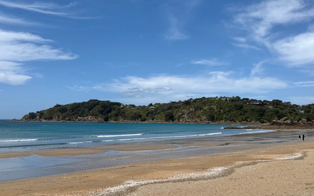
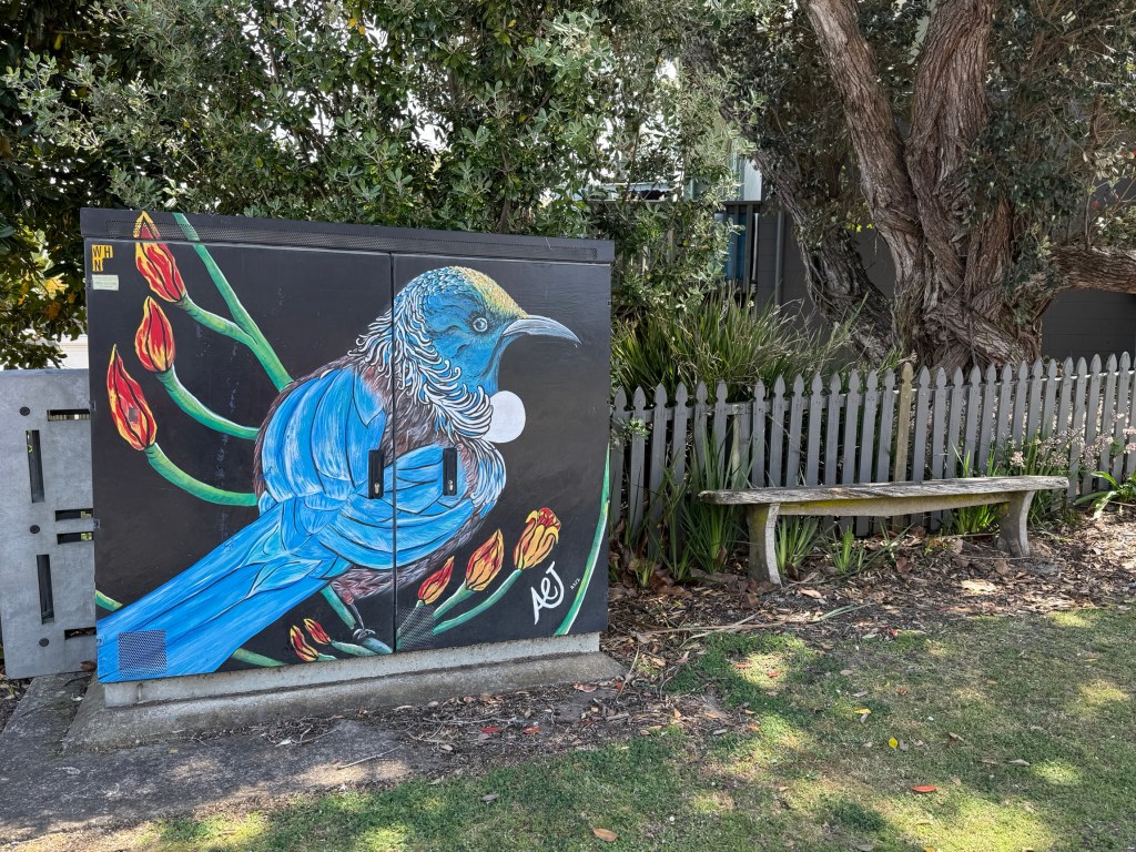
There are a number of vineyards on the route plying the tourist trade. Most have restaurants, attractive gardens and outdoor eating areas with great views over the water and countryside.
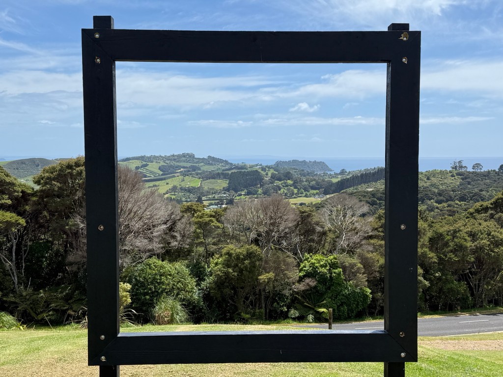
The Batch is high on the Island’s hills overlooking Rocky Bay, away in the distance through the picture frame.
Another stop was at Mudbrick Vineyard, an impressive establishment in great surroundings.
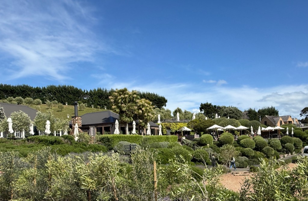
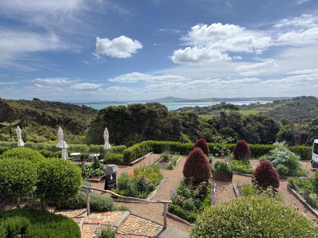
We had a late afternoon tea and coffee on the terrace in comfy armchairs enjoying the view, a small glass of an excellent Mudbrick ruby port helped.
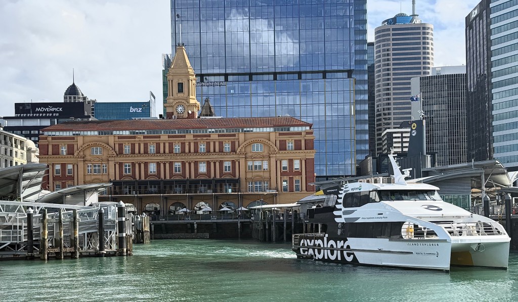
We made our way back to the dock on the hop on hop off bus from Mudbrick Vineyard in time to catch the 4 pm ferry back to Auckland. The lengthy uphill walk back from the dock to the Hotel a little testing on the legs! But we made it!
Next day saw us head off to the formerly named Mt Eden, now known in Māori as Maungawhau.
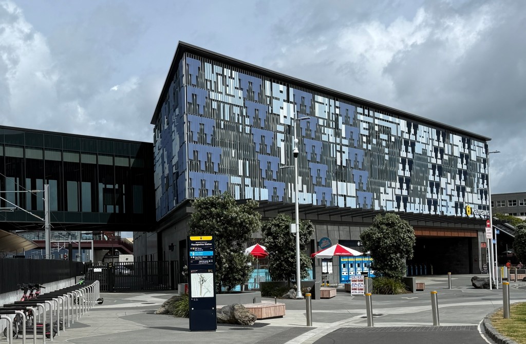
We ventured there on the new Auckland underground, it opened a few weeks ago in mid September. All new and flash. Very comfortable trip between the first two stations from the CBD. About a 30 minute walk then to the start of the climb up the old volcano.
Maungawhau at 196m is the highest of some 53 volcanic cones and features around Auckland.
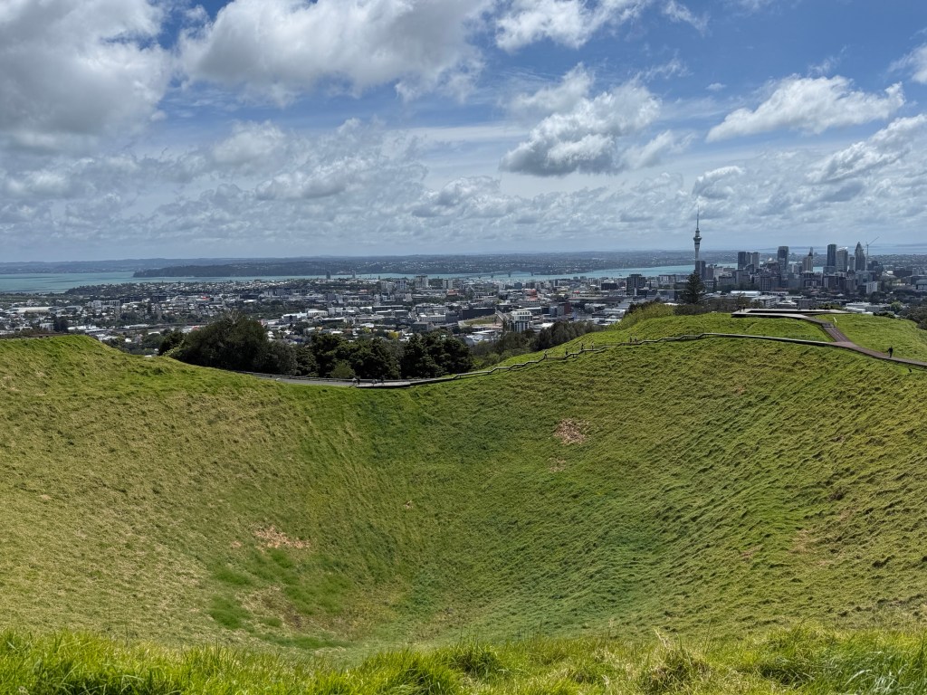
From geological evidence gathered, during the construction of the new underground, it is thought to have last erupted 28,000 years ago and like the rest of the Auckland volcano field is dormant and considered unlikely to erupt again.
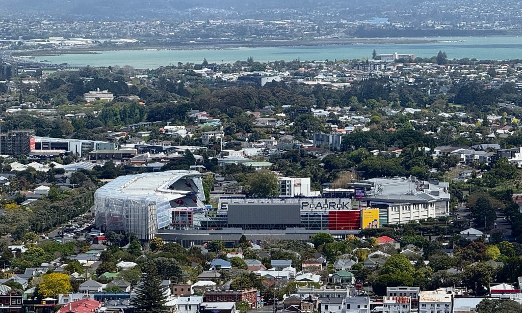
It has great spiritual significance for the Maori and a large Māori village occupied its terraced and fortified slopes before European arrival.
We trudged back down the mountain to the railway station for the trip back to the city. A most interesting day on the ‘Mountain of the Whau tree’.
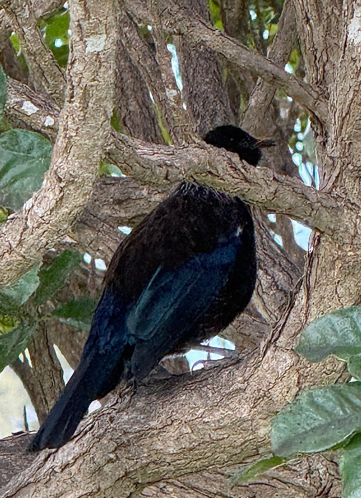
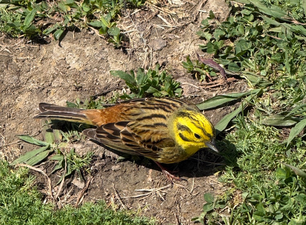
The volcanic cones and other prominent elevated features names are prefixed in Maori by ‘maunga’, meaning mountain or peak.
The ‘whau’ at the end of the Māori name refers to a particular tree on its slopes. It is an extremely light wood (like balsa wood) and was used by the Maori to assist flotation of fishing nets and rafts etc.
So, Maungawhau means ‘Mountain of the Whau tree’.
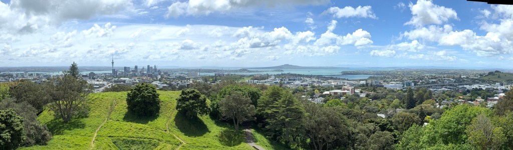
There are impressive 360° views of the Auckland basin from the walkway around the rim of the central crater, a steep walk up from the road below.
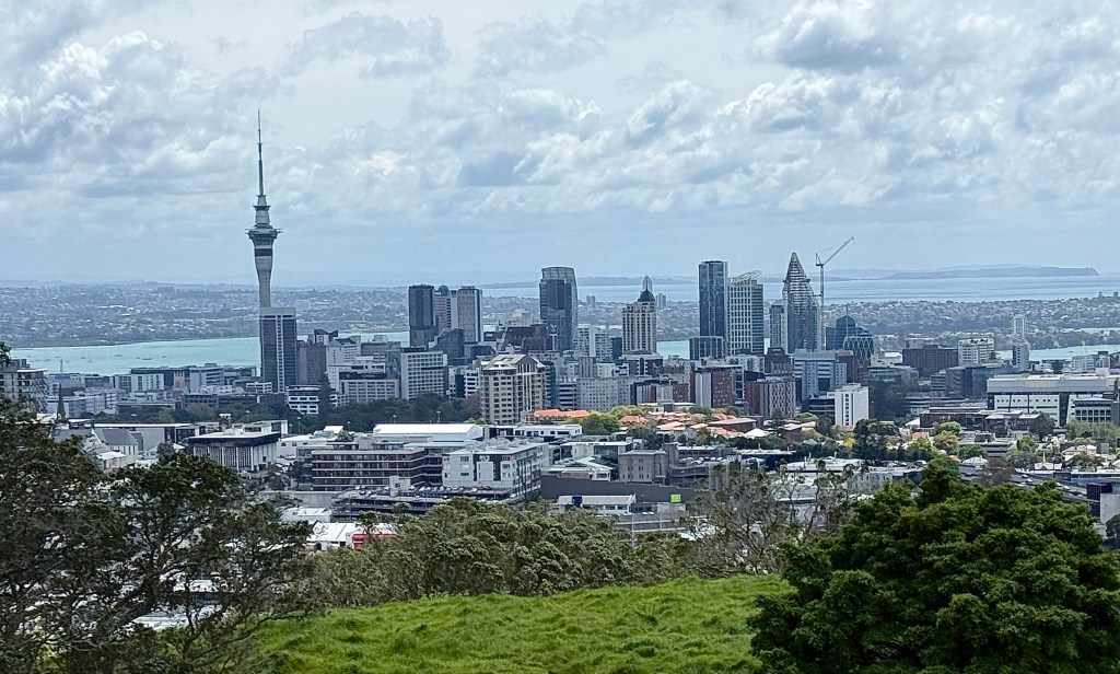
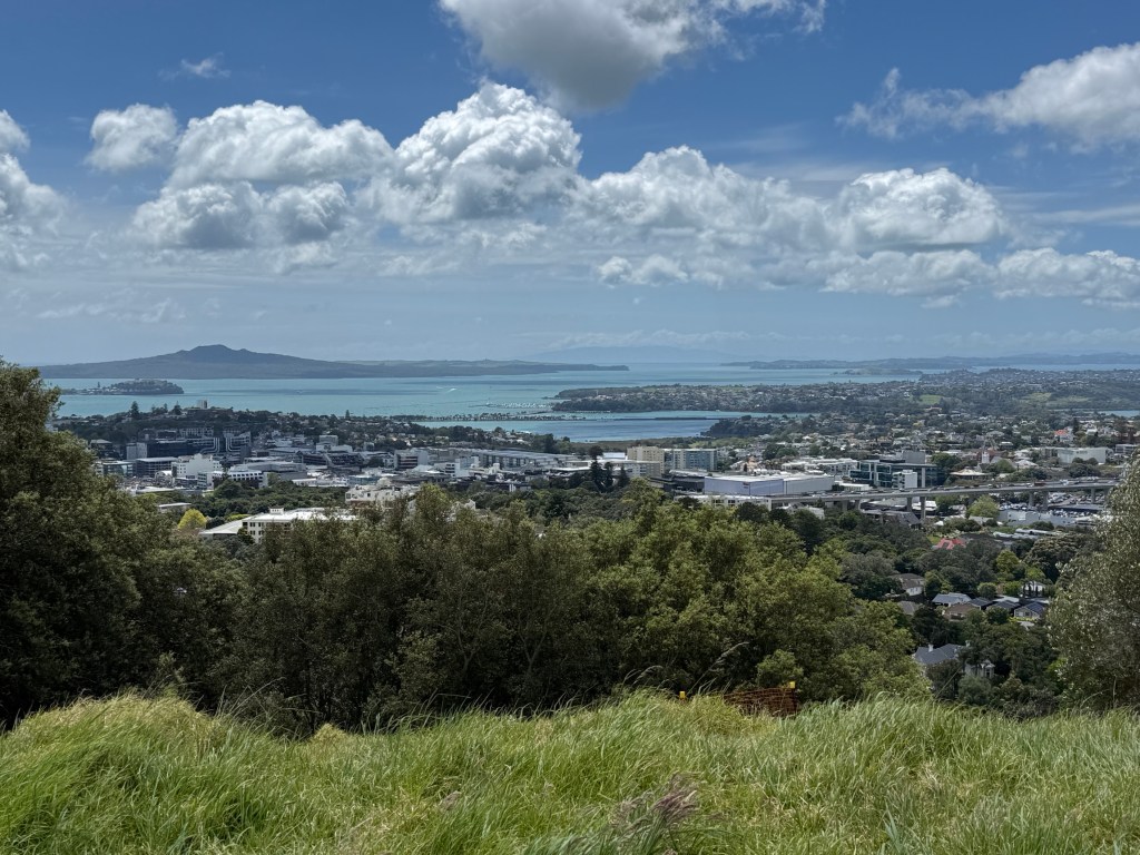
The views are free compared to the Sky Tower! However, the onsite cafe is not as flash as the revolving restaurant atop the tower!
Tomorrow we are off across the harbour to Devonport to climb Mt Victoria.
North Island NZ
Starting another adventure today, a road trip around the North Island of New Zealand.
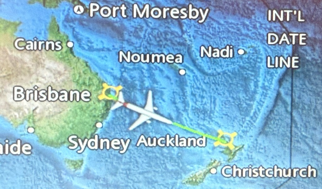
Have landed in Auckland after a two and a half hour flight from Brisbane. Aboard Qantas QF 119, we managed to escape Brisbane just on an hour late, we had waited for another delayed International flight. Curious you know, we got to the airport a bit before 6am for a flight due to go at 8.30am, got away at 9.35. So we were there for three and half hours. It then took only two hours forty minutes to fly to Auckland! Could be a conspiracy to spend money on a brekkie and coffees before you go!
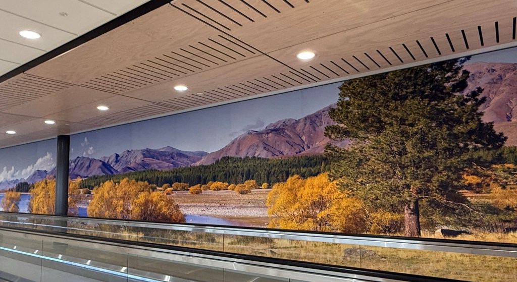
Why do you have to get there so early these days? You check in the day before from home, at the airport you get your baggage tags and load the bags yourself etc etc. ‘Good grief’ as Charlie Brown said! Anyway it was a pleasant flight, a little bumpy in parts.
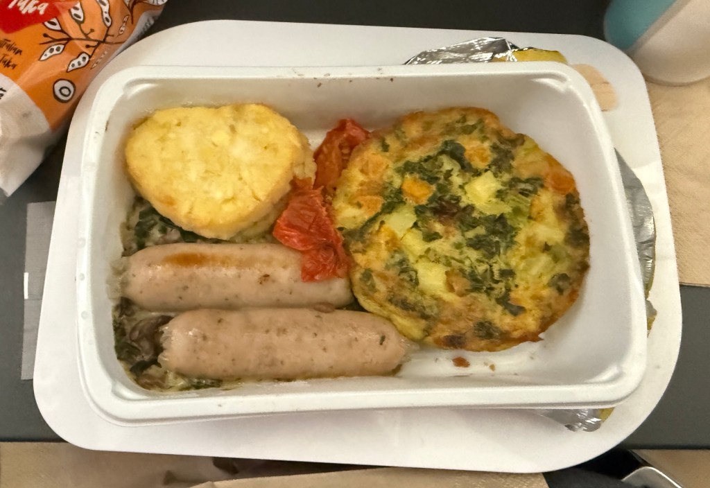
Enjoyed the onboard breakfast ….
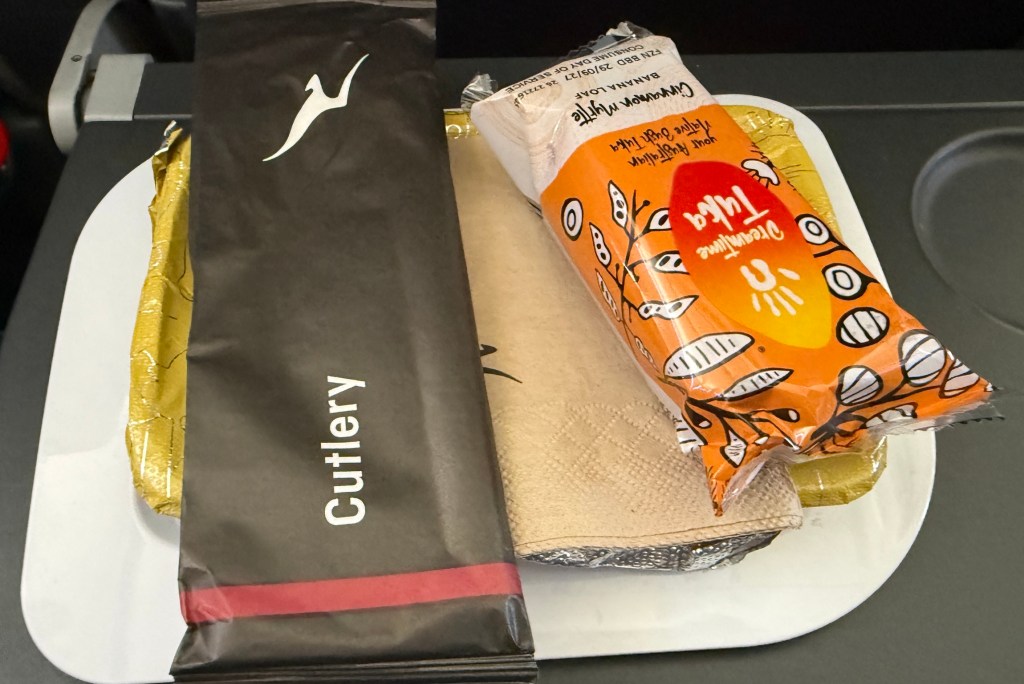
Hmm, a kale frittata, some chicken sausages and hash browns (a little worse for wear). It was hot and quite tasty! Some banana bread to follow on.
Caught the Sky Drive into town to our hotel at The Grand by SkyCity near the Casino. Some nice harbour and Sky Tower views from our room.
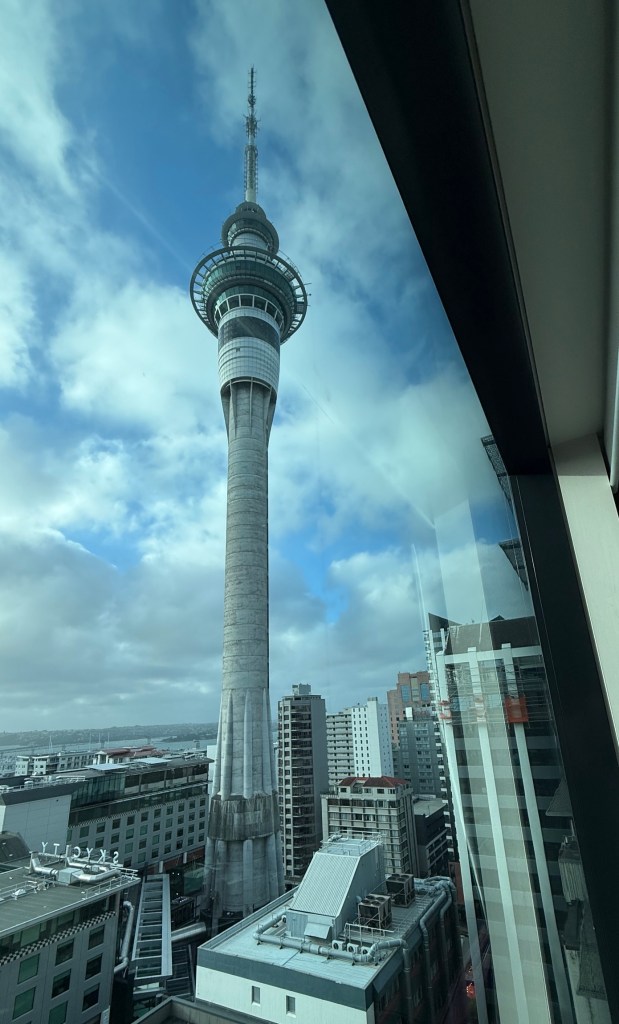
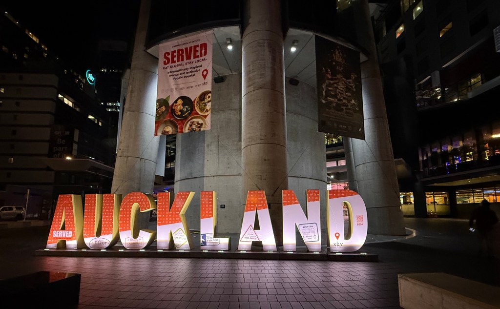
Later in the evening we had dinner at the Empire Hotel, old style pub food.
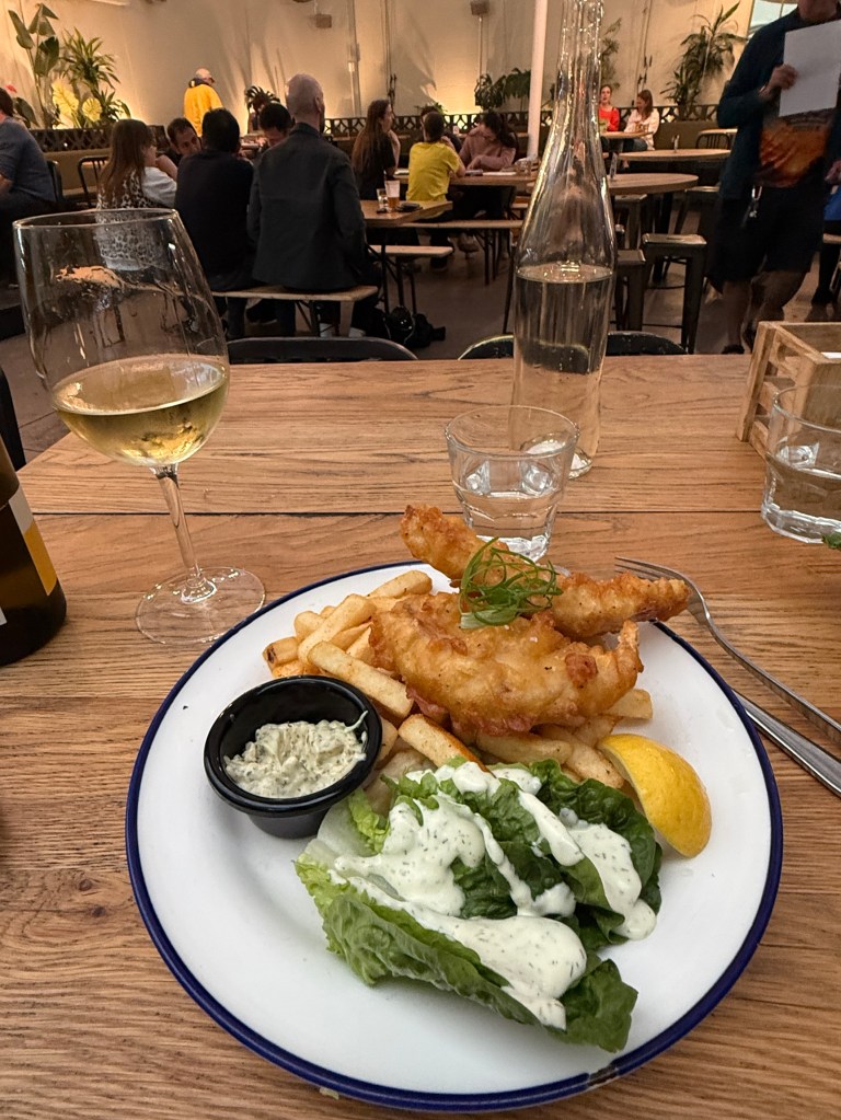
Stumbled into a trivia night! Came last, quite a few NZ specific questions and also ones where we had no clue. No excuses though others were too good!
Not sure where we are off to in the morning, weather is a little problematic.

