Yamba
We are drawing near to the end of this journey with our last stop at Yamba. Stayed about 5 or 6 km out of town for three nights at a van park called Fishing Haven, surrounded by tea tree and macadamia plantations, as well as sugar cane. Very rural outlook!
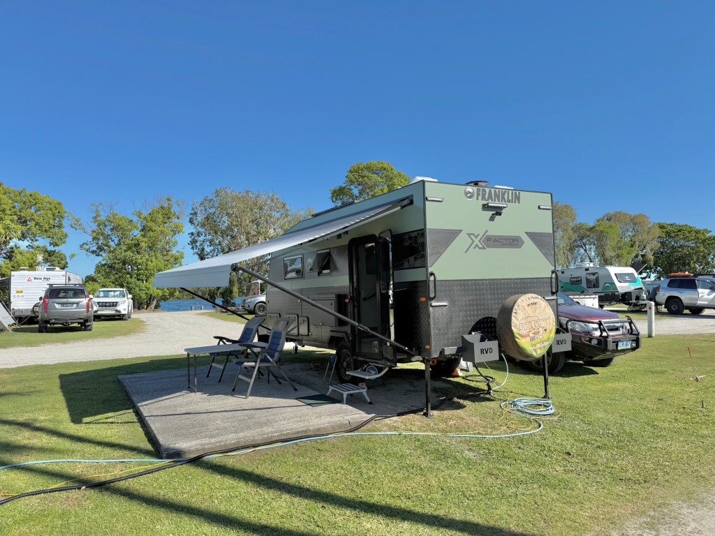
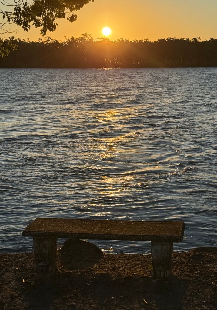
The park is right beside the Clarence River and it probably is a fishing haven. A nice tidy park, plenty of room on our site and quiet too, peaceful even.
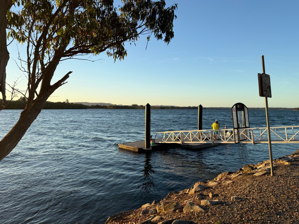
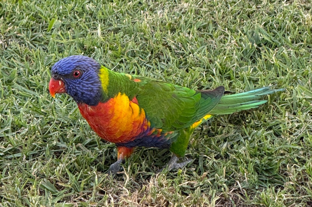
There is a bit of birdlife around and a number of water dragons frequent the river rock wall.
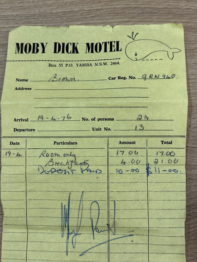
We are on a mission here in Yamba to check out another motel we stayed in 50 years ago. Moby Dick Motel , $17 a night and breakfast was $2 each.
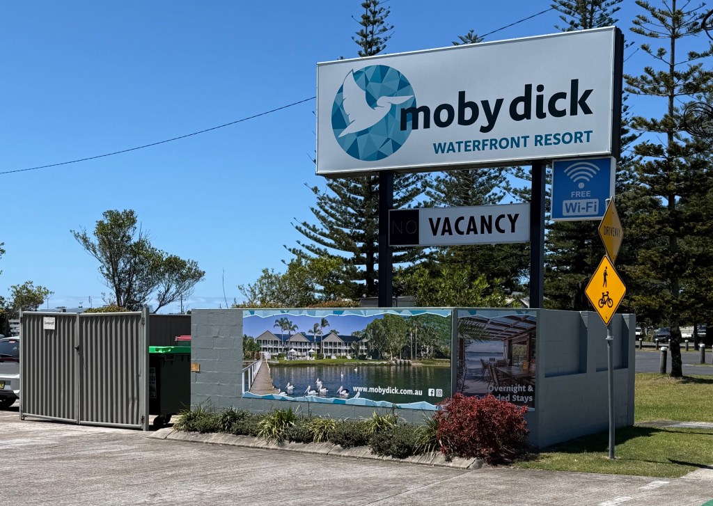
Problem though. The Moby Dick as we knew it is gone. Knocked down and replaced by the Moby Dick Waterfront Resort, an upmarket strata titled complex. There wasn’t even a Room 13 to look at!
The receptionist showed us some photos of the old Moby that were in the lobby, we couldn’t recall much from them.
The old motel bills can now go back in Allthego’s box of treasures at home. Perhaps to be discovered by others in years to come. Bit like a time capsule!
Another coastal walk caught Allthego’s attention, 4 km and about half the distance of the Port Macquarie walk. It went around in a loop so Homealone could stay at home this time.
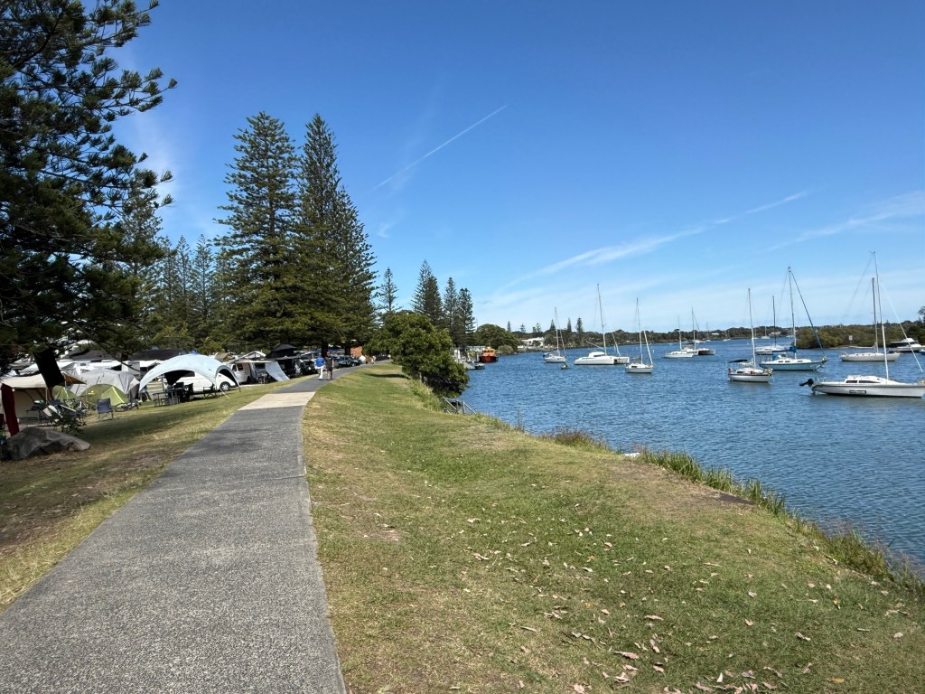
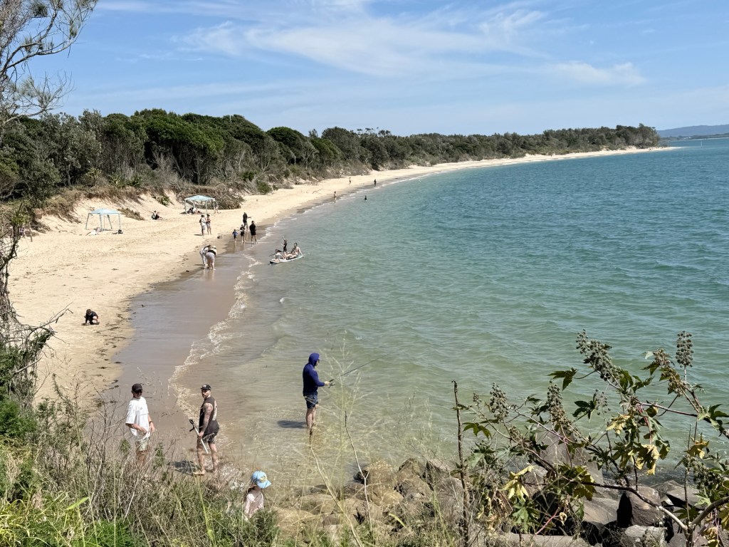
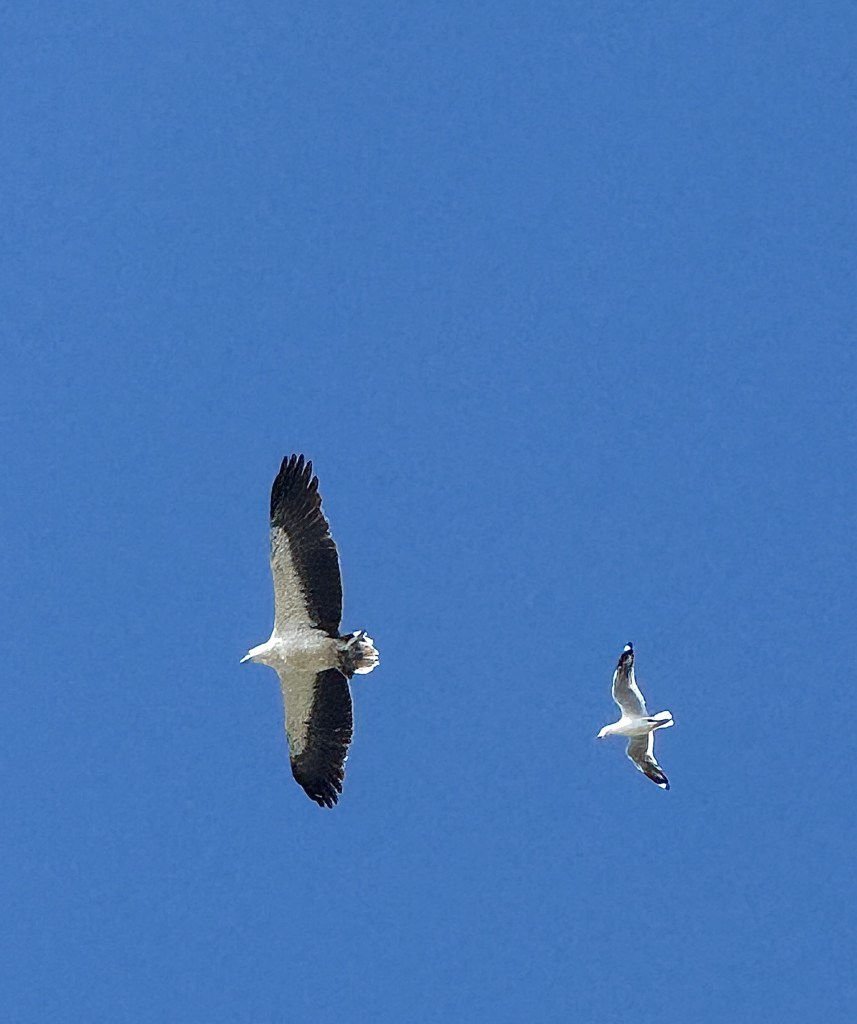
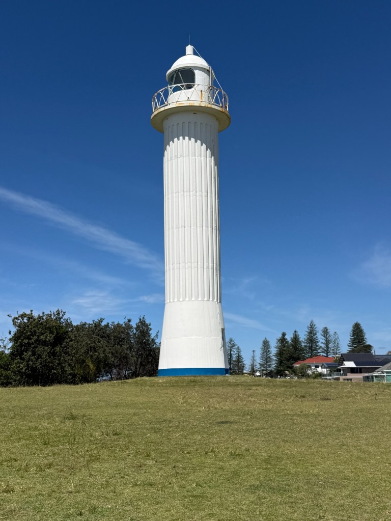
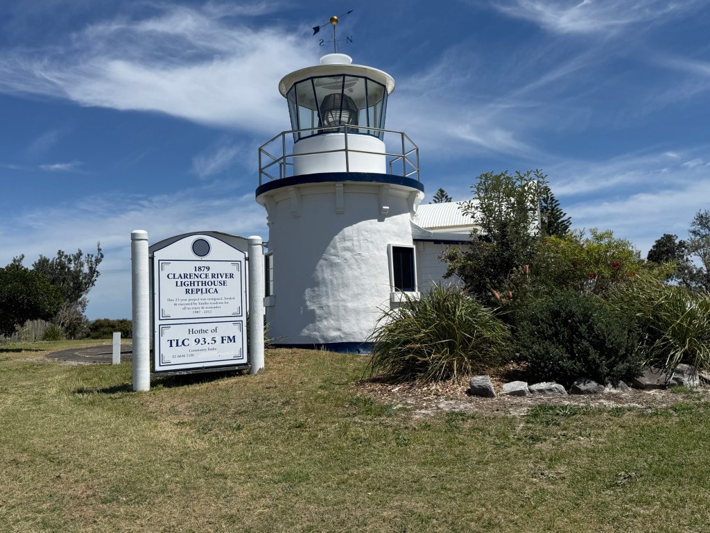
It was also a walk through a very urban environment, so less chance of getting lost and needing search parties.
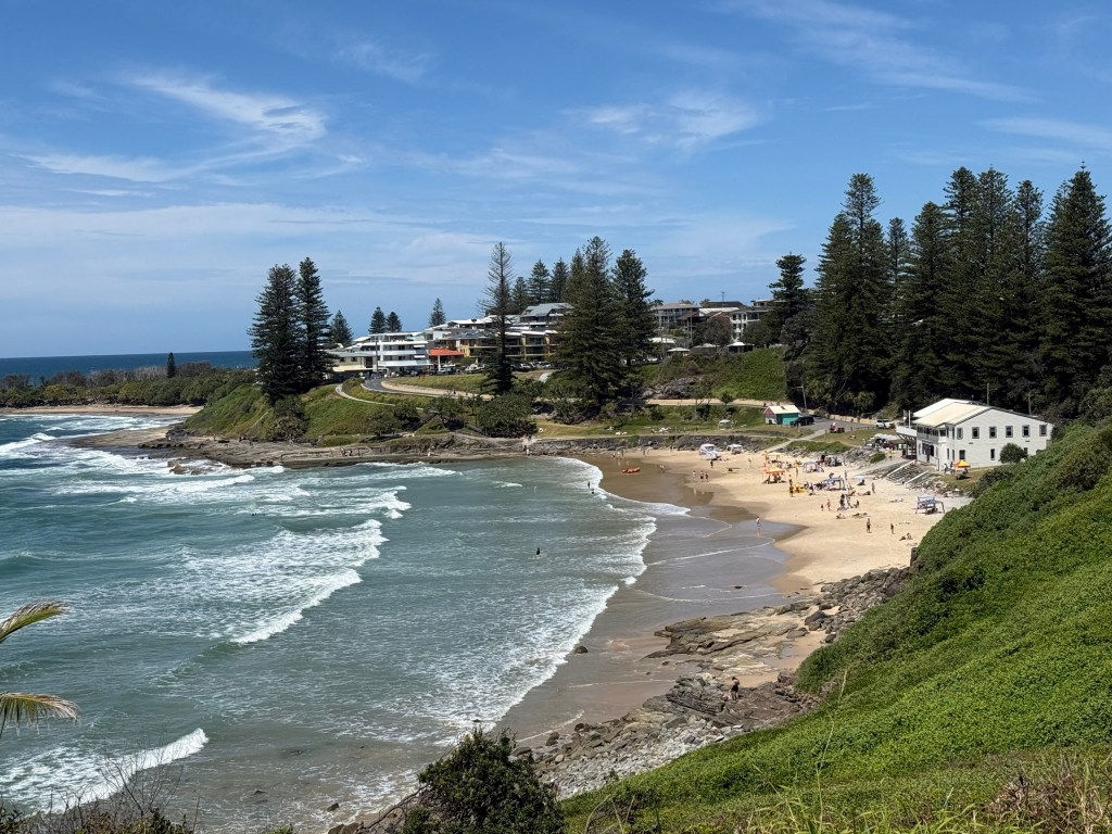
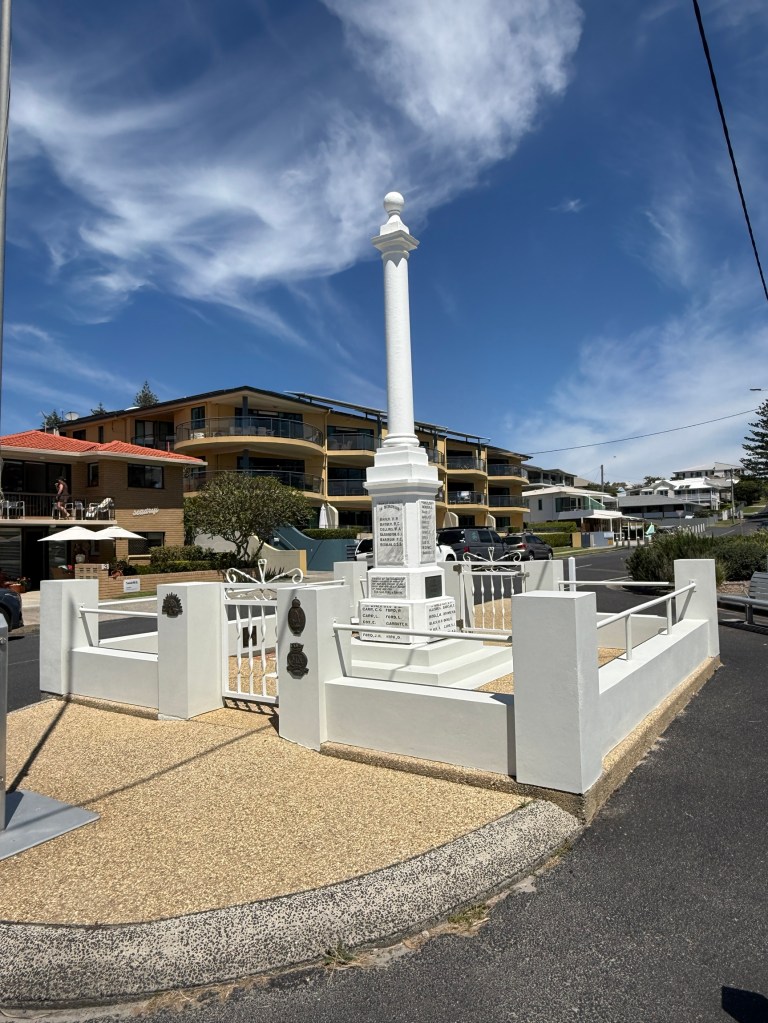
The walk left from the Yamba Museum and meandered down to the river, along a river rock wall (no art work!) and then up and down hills past the town’s beaches and headlands before ending back at the museum.
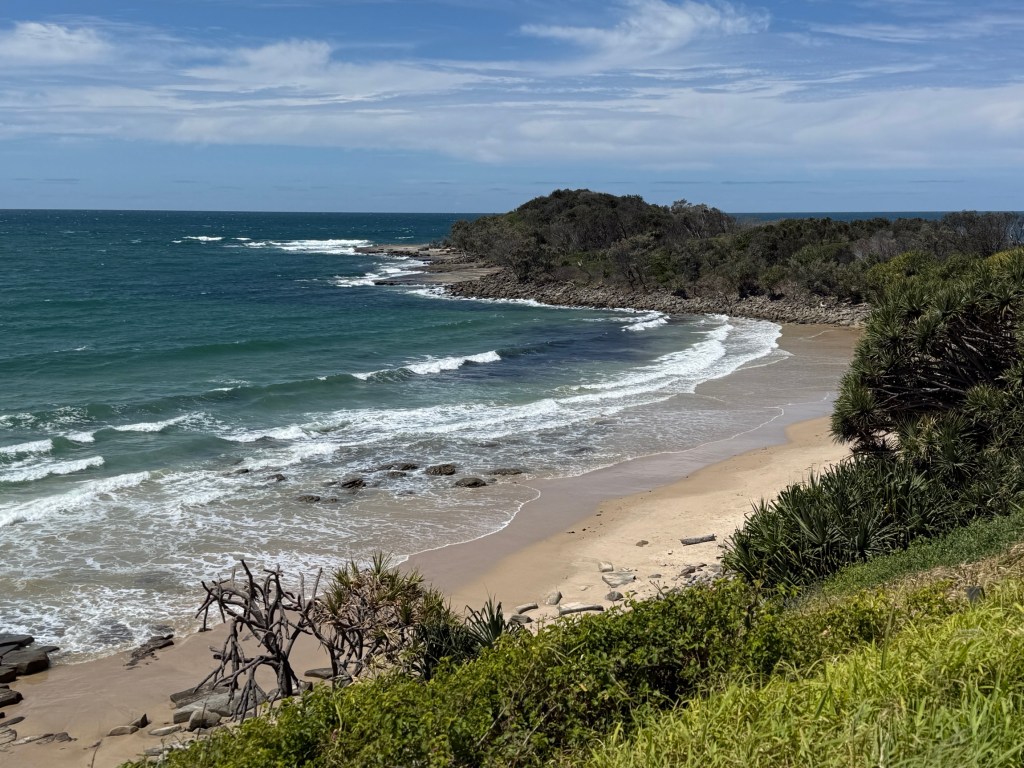
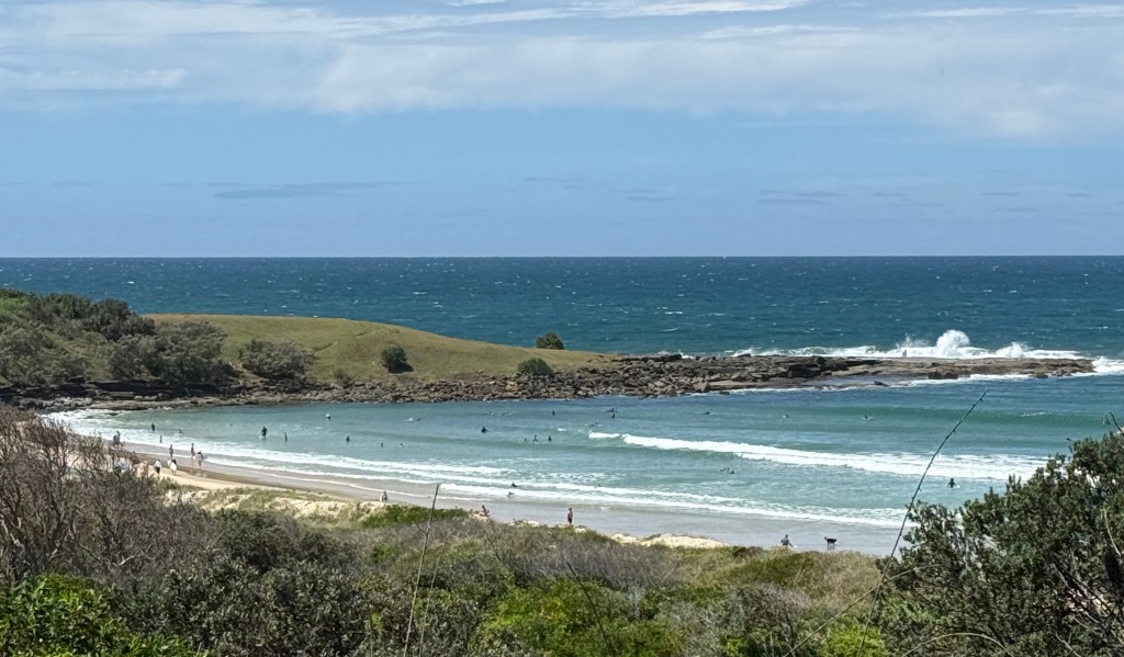
It was a pleasant stroll around the town that culminated in a hot meat pie taken back to the camp.
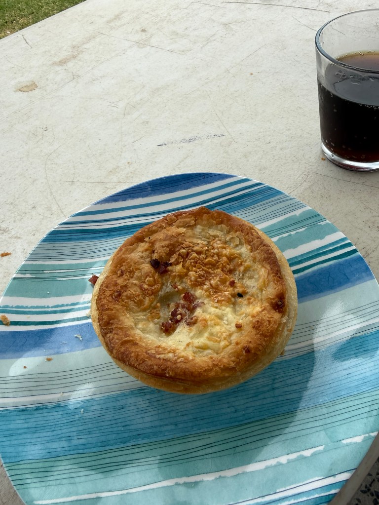
And, we think it was one of, if not the best meat pie of the trip! Proving the old adage ‘you don’t have to wander far from home to find the best pie’!
Our next stop was Alstonville, for a brief overnighter in the Showgrounds. It is inland from Ballina and from there we will make our way home. An early start anticipated, hoping to beat the October long weekend traffic from the Gold Coast.
Port Macquarie
It is school holiday time here in NSW and the kids are certainly out and about. The caravan park is not full there are quite a few empty slots, trouble is they are not near us! There are some big vans in, sitting on sites made for smaller versions. This is a common problem in older caravan parks, designed years ago when things were on a smaller scale. There is one behind us that is right on the border and we could hold hands with them, two small yappy dogs too. Good to get out and about!
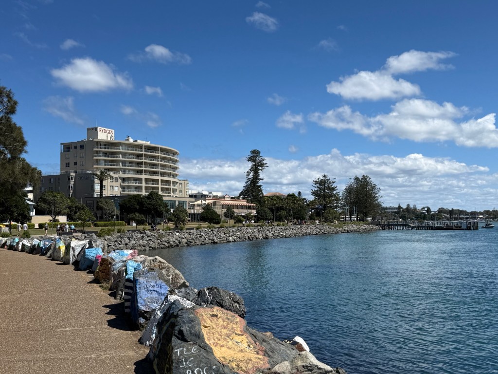
The park is right on the edge of the river breakwall and has some great views up and down the river. All sorts walk, run and cycle along it in a constant stream all day. It is also an artist’s paradise, every rock is emblazoned with some creation.
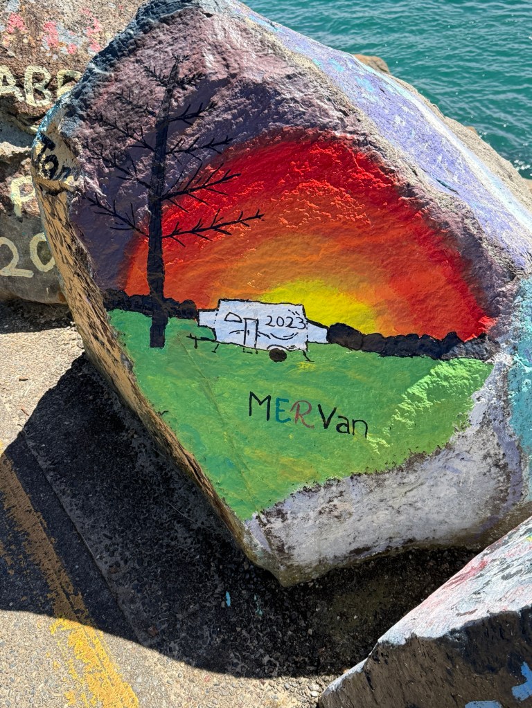

There are also artistic memorials to people who are no longer with us, those who have died at sea, pets or newly weds in the town. Some of them have been there a long time and are partly painted over, others as fresh as a new morning.
Port Macquarie is actually quite an old town that was established as a penal settlement in 1821. The baddies from Sydney Town were sent here.
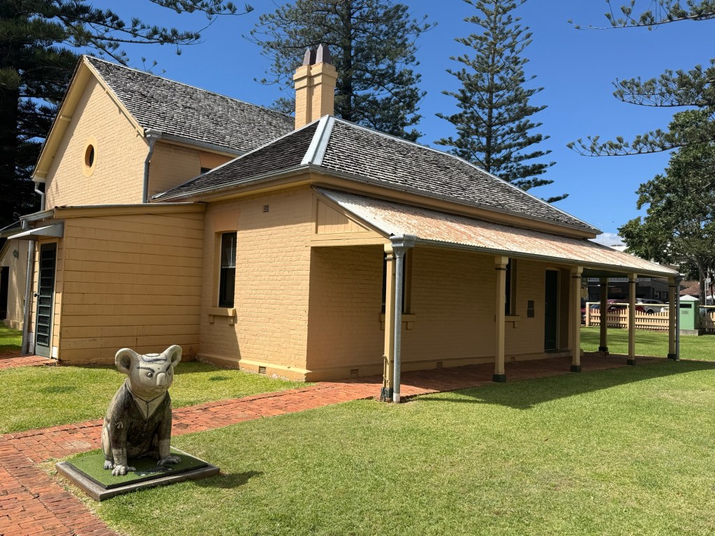
So there are some old buildings around. The oldest government building is the Court House built in 1869 on the site of an earlier courthouse.
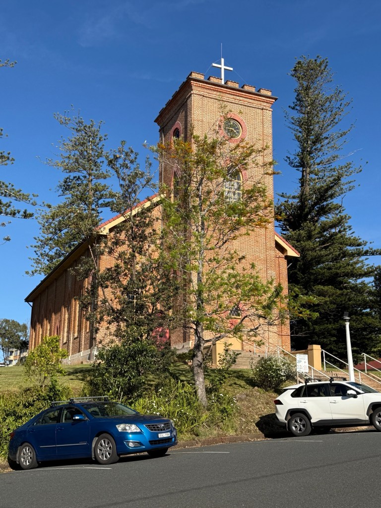
The 1824-28 convict built St Thomas Anglican Church is still in use today.
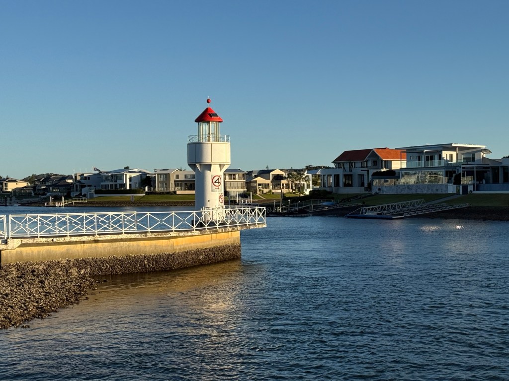
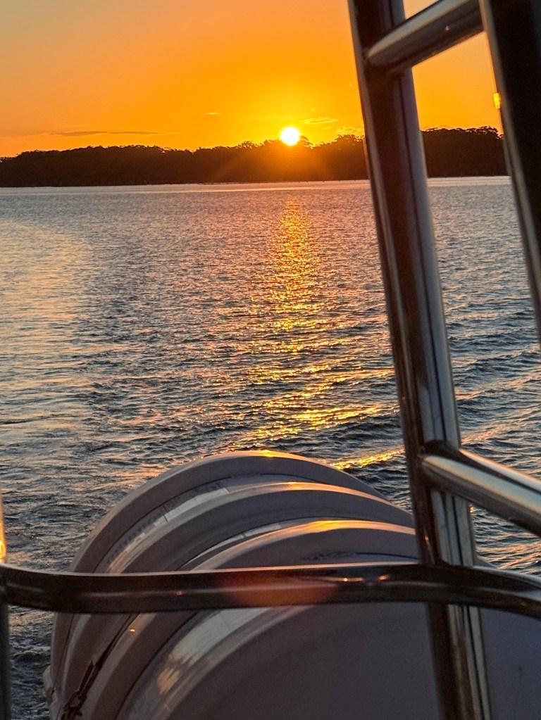
We had a short river sunset cruise on the Hastings. Took us up stream past the north shore area and then in and through some of the canals. Some rather nice houses and boats.
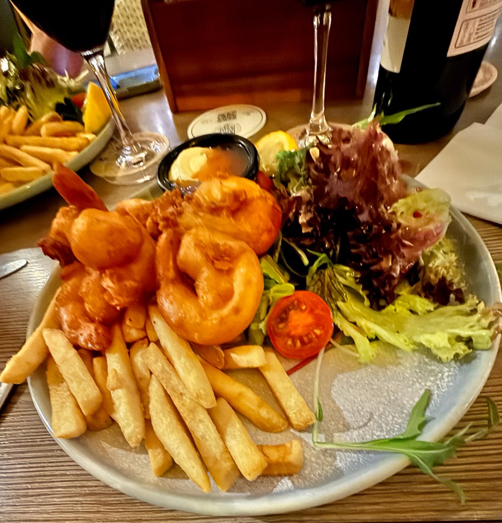
We followed the cruise with dinner at the Royal Hotel, a restored version of the 1880s original. Some nice local battered prawns, with chips of course.
There is a great coastal walk that starts up the river, runs along the breakwall and then down south past the beaches and headlands to Tacking Point Lighthouse.
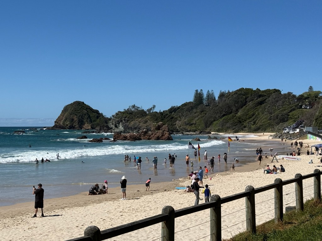
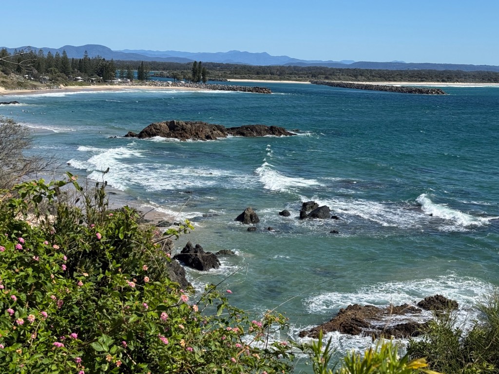
Allthego found this to be a compulsory excursion, Homealone remained at base until receiving the call for a pick up at Tacking Point about 3.5 hours later.
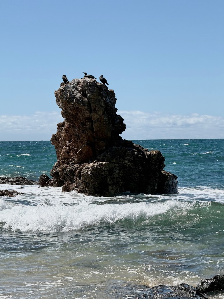
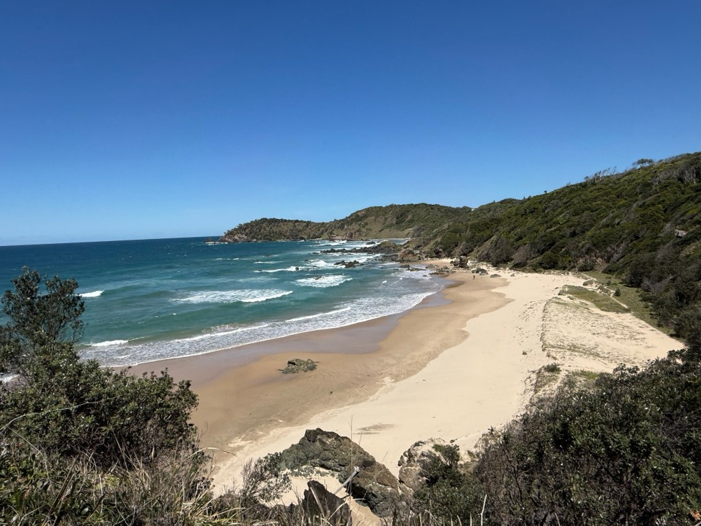
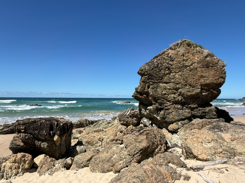
The section from our camp ground to Tacking Point is about 7.5km. It is mostly easy going through the bush and along cliff lines, a couple of stretches are on beaches that test out the old calf muscles.
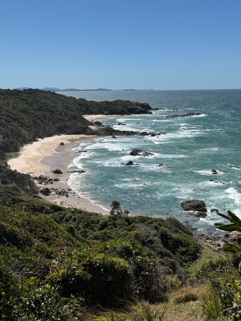
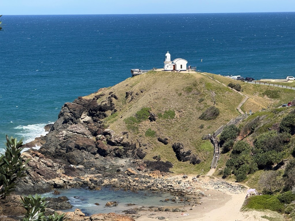
Tacking Point Lighthouse was named by Matthew Flinders in 1802 while tacking up the coast in his ship the Investigator. The lighthouse was built in 1879 and manned until 1919.
It was a great walk through the coastal environment, the drive back to the campground very welcome. There is a bus that does the job for those without a pick up!
Next stop is Yamba.
Port Macquarie and some relos first
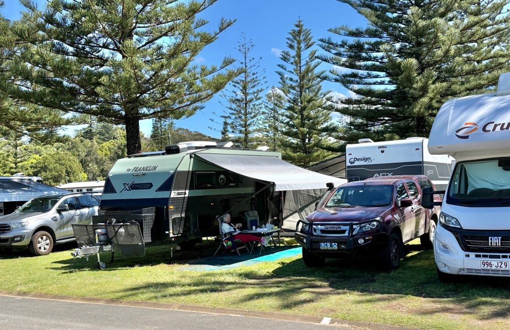
We have made it through to Port Macquarie after having a night in Wingham with Leanne’s sister Sandra and Don.
It was a bit of a grim afternoon and early evening in front of the box watching the Knights clean up the Panthers in the NRL. Sandra is a big Panthers fan, she was generous in defeat! The Panthers with the Knights down a man for all the second half couldn’t organise their attack to beat a 12 man side, great defence though from the Knights.
The next morning the four of us had brunch at a local cafe in town.
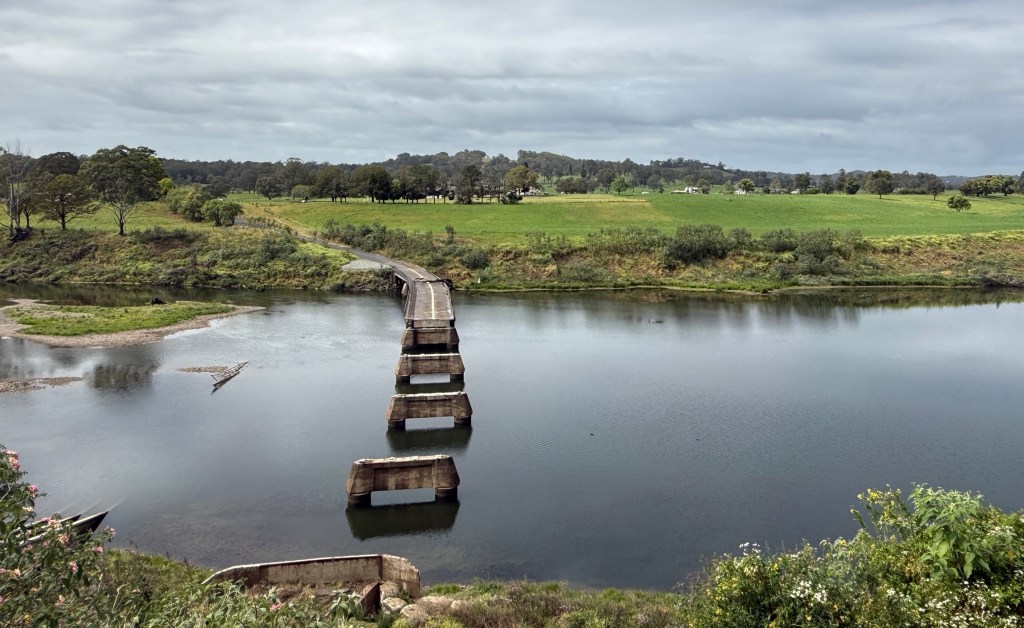
On the way in we had a detour to see the flood washed out bridge over the Manning, to be replaced in due course. Timing uncertain.
Brunch was rather good, some generous serves as well. We do all like our food!
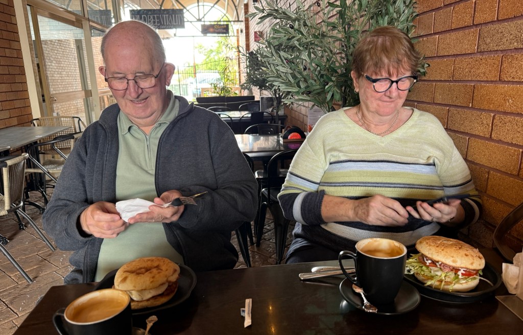
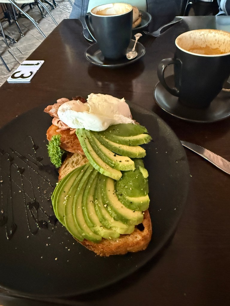
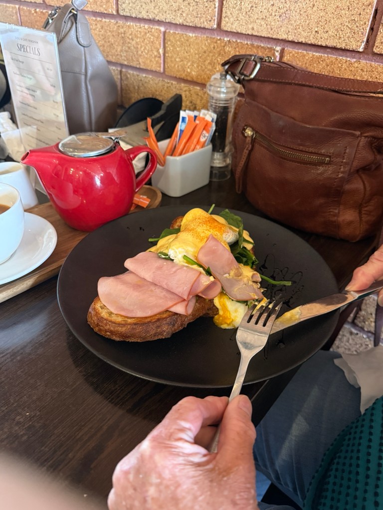
The town was buzzing for a Monday morning, cafes all busy. It seems that a few young ‘uns have taken over the cafes from the oldies and brought a bit of energy to the game. The street scape has also been freshened up with some new shop fronts and murals.
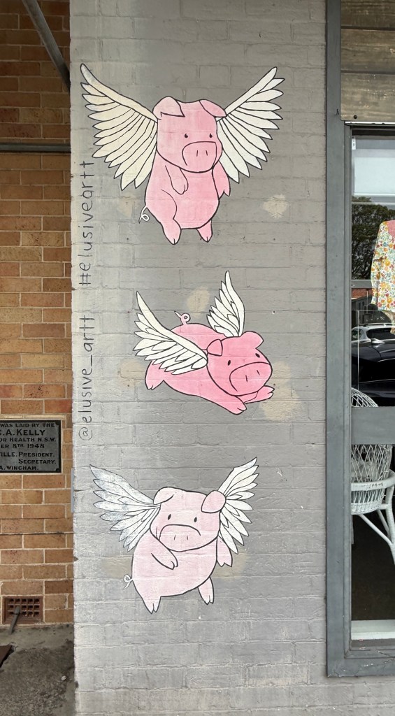
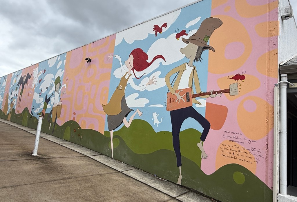
After brunch we said our farewells and got back on the road to Port Macquarie, about 90km up the highway.
We had made the booking in the CP on the ‘Express Checkin’ basis. What this actually means is you don’t talk to anyone about your site. I suspect a machine allocates the site; you then get an email, after paying, with the details, entry codes, park rules etc. Don’t have to speak or deal with anyone, just drive on in! All a bit soulless! The odd thing is at the end of your stay you get a survey asking you to nominate someone on staff who gave you great service. Strange PR! Enough of this rant. Overall the park was not too bad for school holiday times.
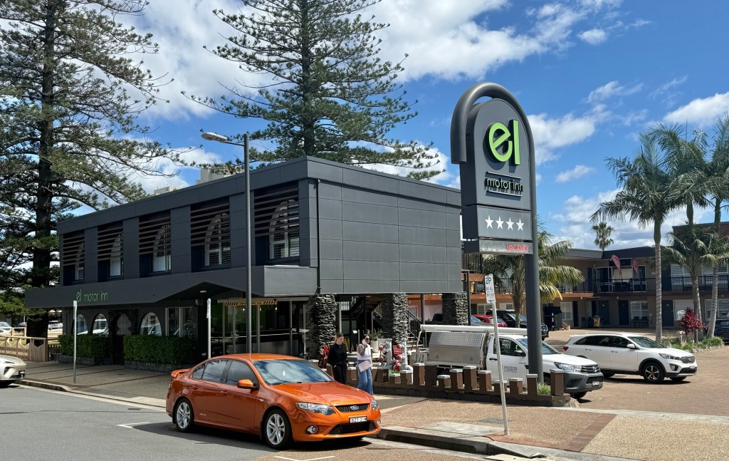
Now one of the reasons for dropping into the ‘Port’ was to check out the old motel we stayed in 50 years ago on the honeymoon. The then Motel El Paso, Room 506. Would they let us check it out? Allthego gave the same banter about staying there recently and leaving something in the room. She said we couldn’t get in Room 506 as there was someone in it.
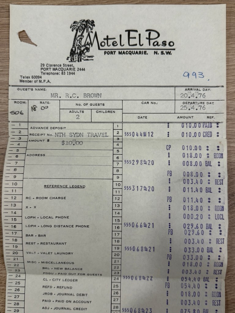
The reception lady was eager to get a copy of our old bill to show the new (latest) owner! He came out and was keen to have a chat about how the place had been refurbed and expanded since our visit in 1976. Accomodation prices had gone up too, no longer $18 a night. Name changed to ‘El’ Motor Inn. He wanted to get rid of the Mexican flavour!
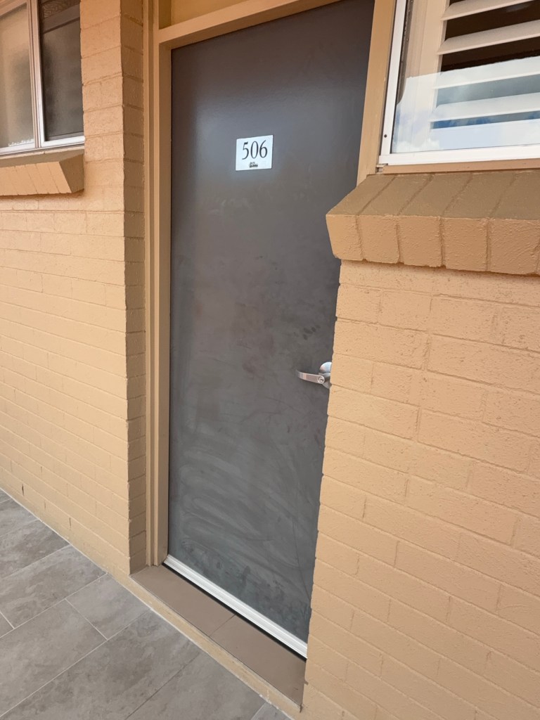
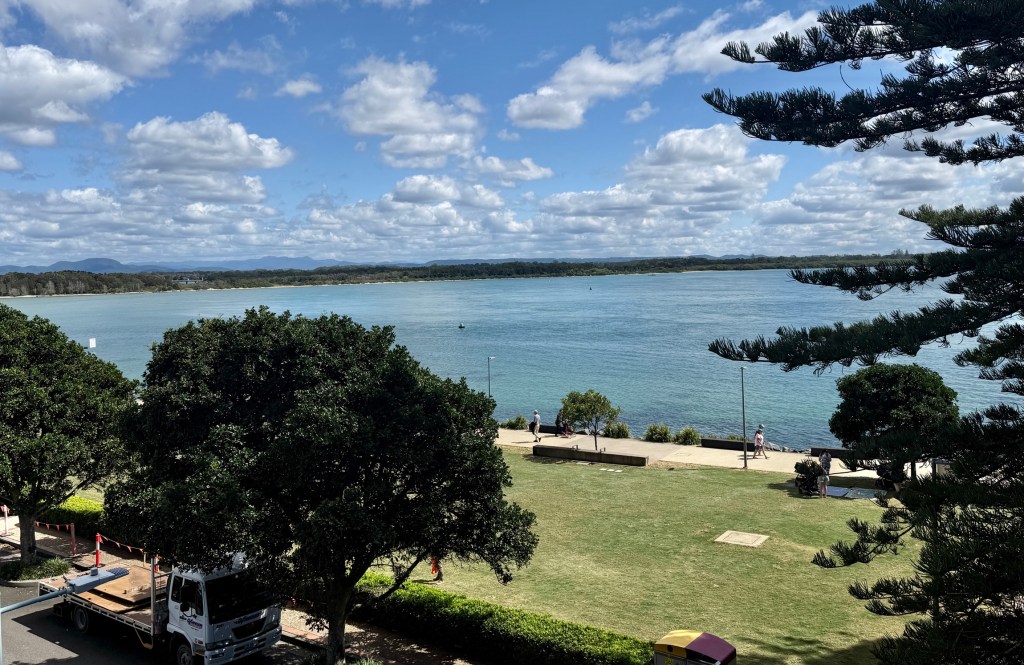
He was ok for Allthego to go and have a look at the view from the verandah outside 506. A cleaner was nearby and granted access into 510. She had worked there for 24 years and said the rooms were the same layout.
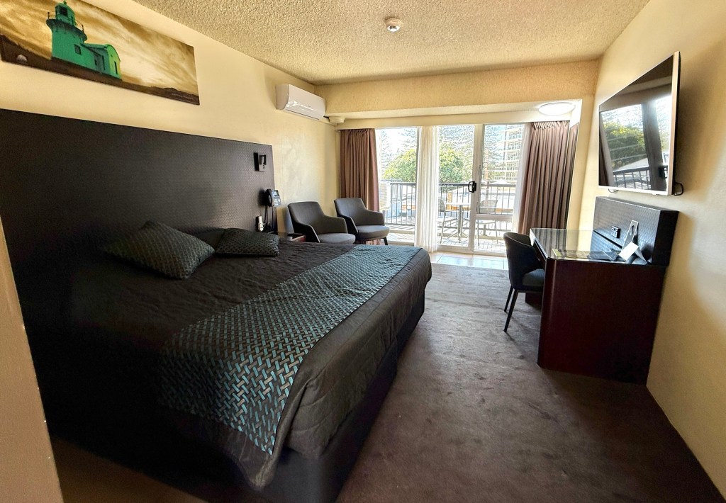
A good visit with a friendly reception! Now back to the caravan!
Gloucester and the Tops
It is a short drive east from Dungog to join The Bucketts Way near Stroud. This 150 km rural road links Twelve Mile Creek, just north of Raymond Terrace on the Pacific Hwy with Taree in the north. A map helps explain the route without too many words!
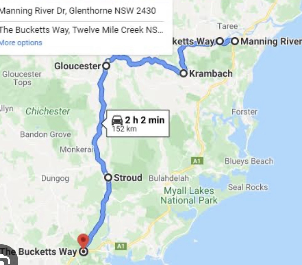
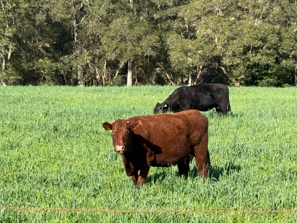
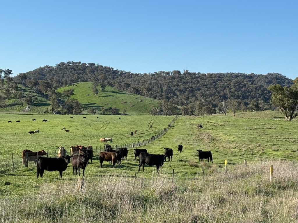
We have seen the signs for this road before and have always wondered where it went. So we have now found out. Lots of rolling hills, valleys, beef and dairy cattle and a few sheep too. Up to their knees in the grass.
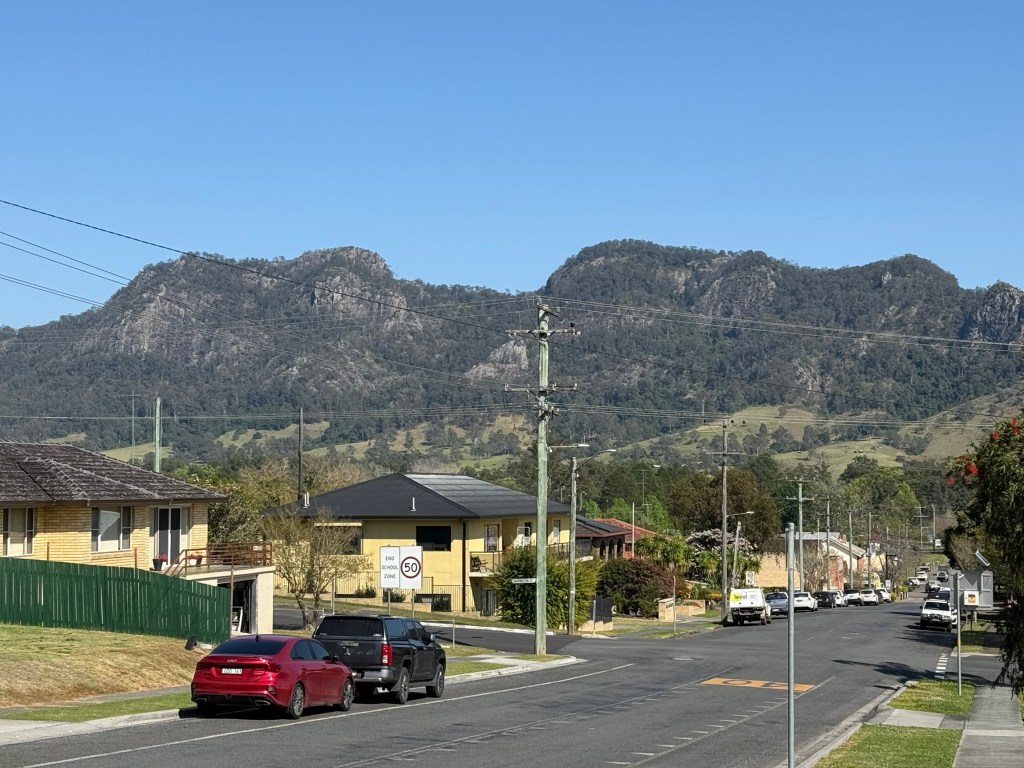
Our next destination is the town of Gloucester, about half way along the Burketts Way. The road is named for the unusual shaped ‘Bucketts’ mountain range that looms over the town, remnants of past volcanic activity.
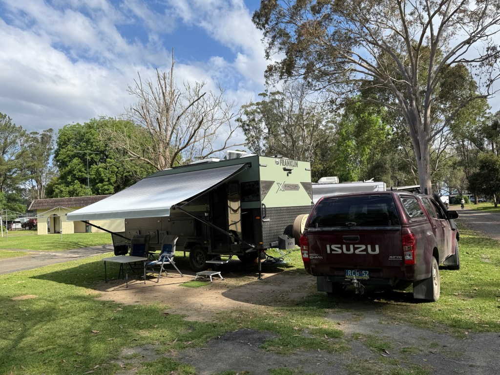
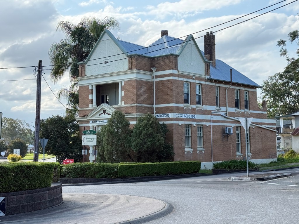
We are using Gloucester as our base for having a quick look at the Barrington Tops National Park. Apart from the southern sections, to the north of Dungog, the main visiting area is further north and to the west of Gloucester. There it is split into two sections ‘Gloucester Tops’ and ‘Barrington Tops’.
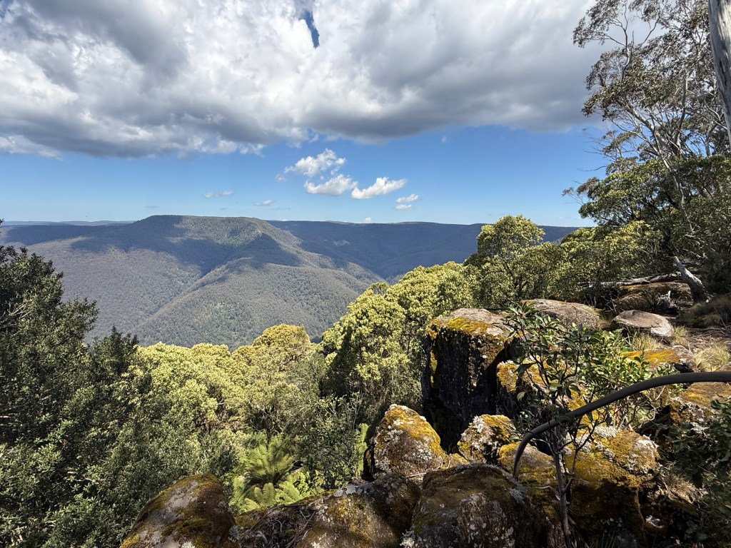
We decided to head to Gloucester Tops for our first days exploration. The ‘Tops’ (where the walks are) are at the end of the road and 60 kms from Gloucester, 35 km is unsealed. Six river crossings, fairly benign at about 10cm deep. After rain though might be tricky. Says 90 minutes but it took us 2 hours.
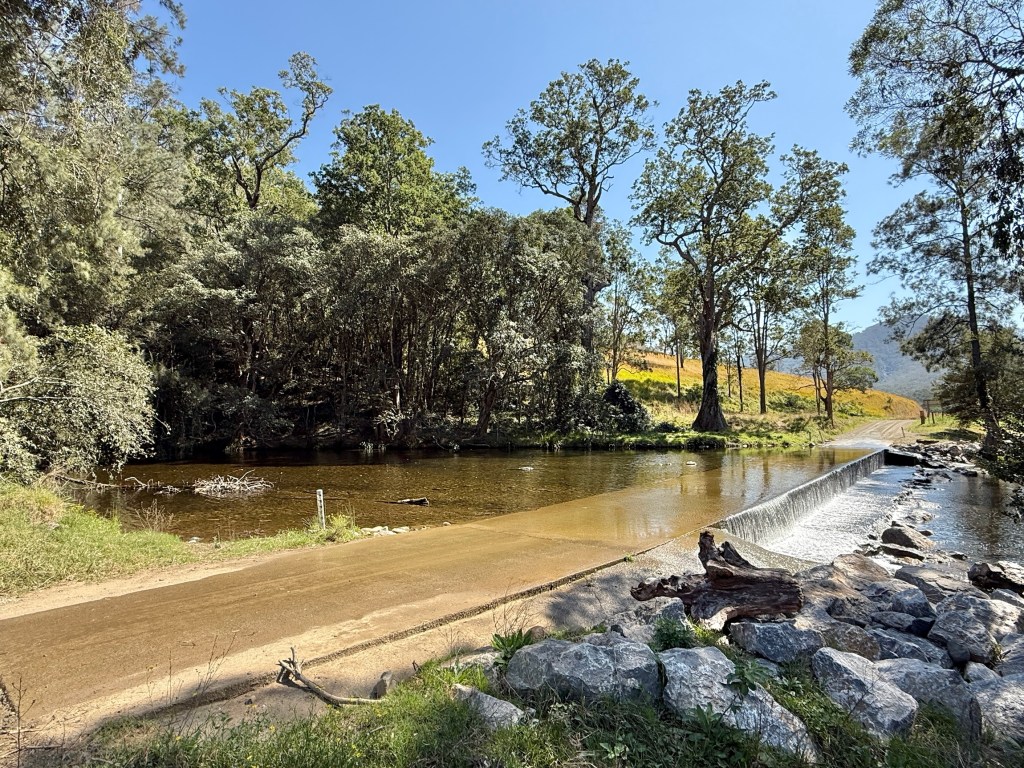
The road is said to be two wheel drive and it is, but we found it nice to have four wheel drive. Quite narrow and steep in several sections, a bit rutted as well, with drop offs into the valleys below. Homealone found it all a bit average and off putting for a friendly experience. But we eventually got to the end.
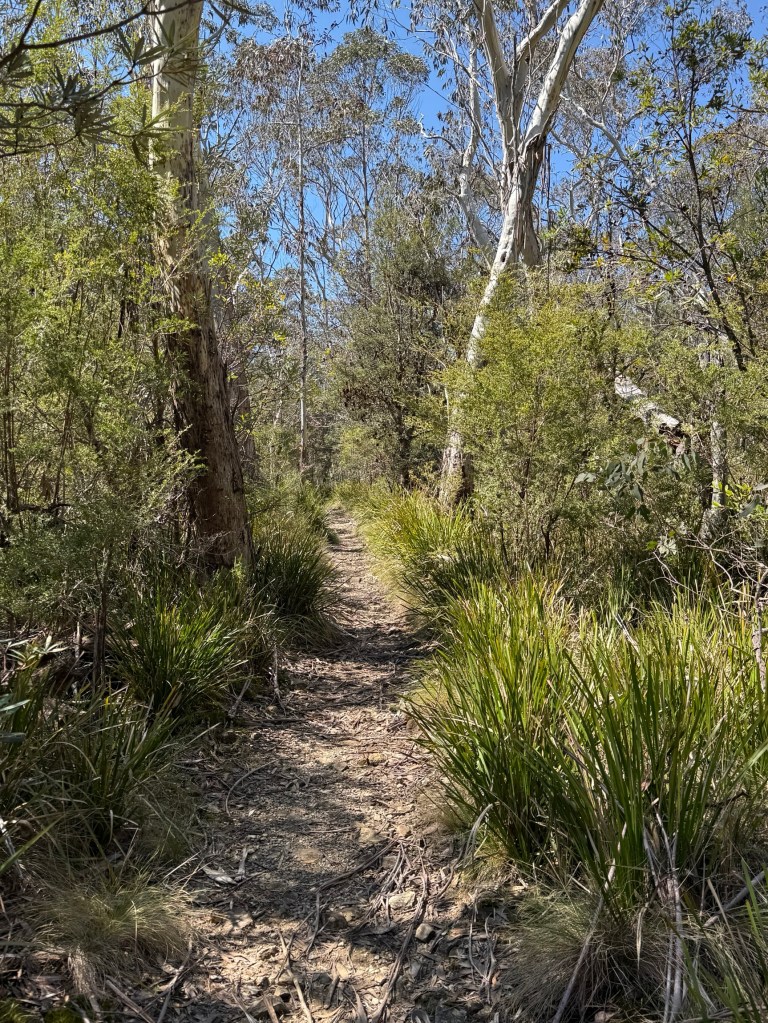
Allthego was hoping to do a couple of shortish walks here. The first was to do the Antarctic Beech Forest Track. This is an area of rare vegetation at relatively high altitudes, 1400-1500 metres, generally snows up here in winter. The beech is a remnant rainforest tree that reproduces via suckering, dating back to Dinosaur days.
Didn’t get all the way there though, we had missed the walk entrance and an alternative route proved too far a trek. Allthego turning back after half an hour. It would have meant a late return with the possibility of Homealone sending out a search party.
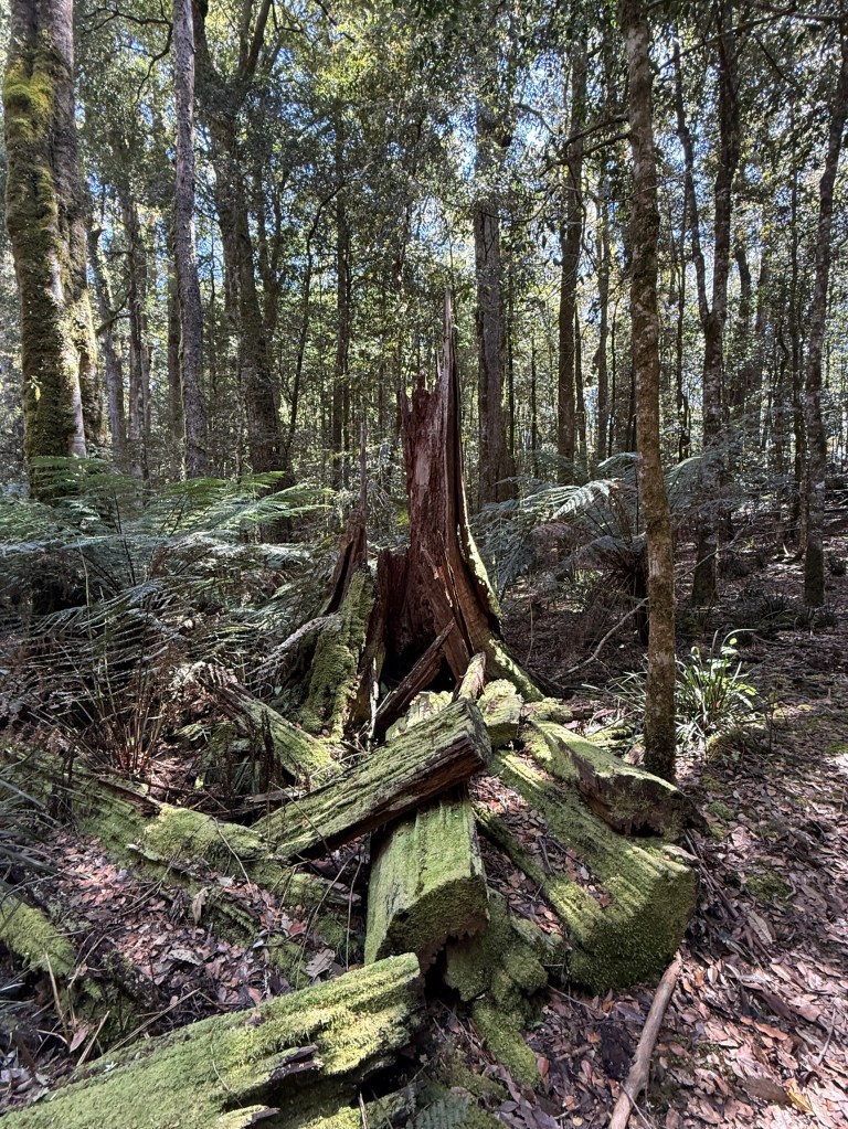
The second walk was a short circuit to see the Gloucester Falls.
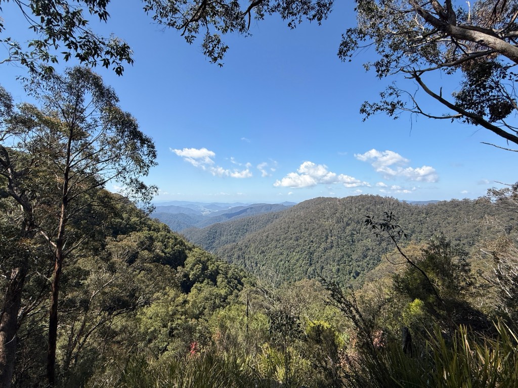
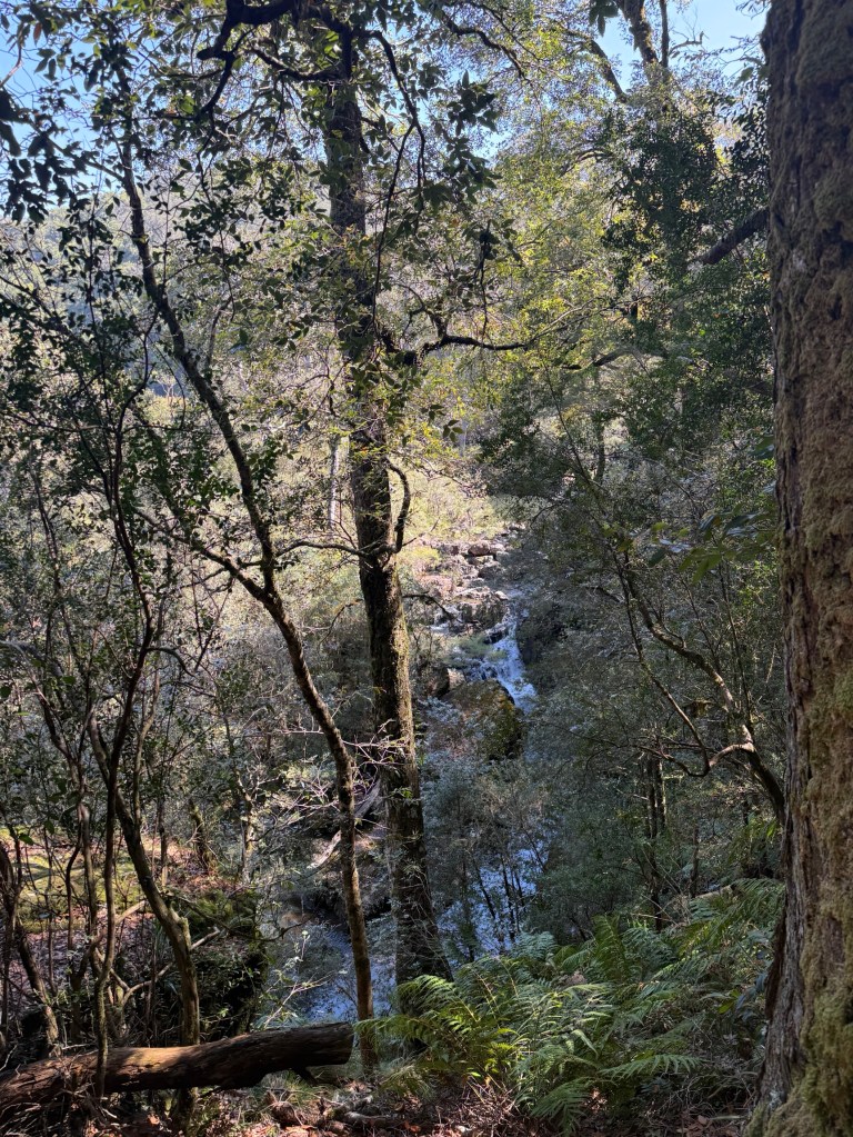
The Gloucester Falls were a little disappointing. A chain saw is needed to clear the vegetation that blocks the view!
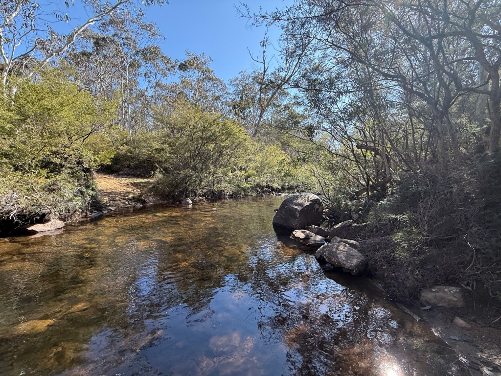
We had a late lunch at the picnic area next to the river upstream from where it plunges over the falls.
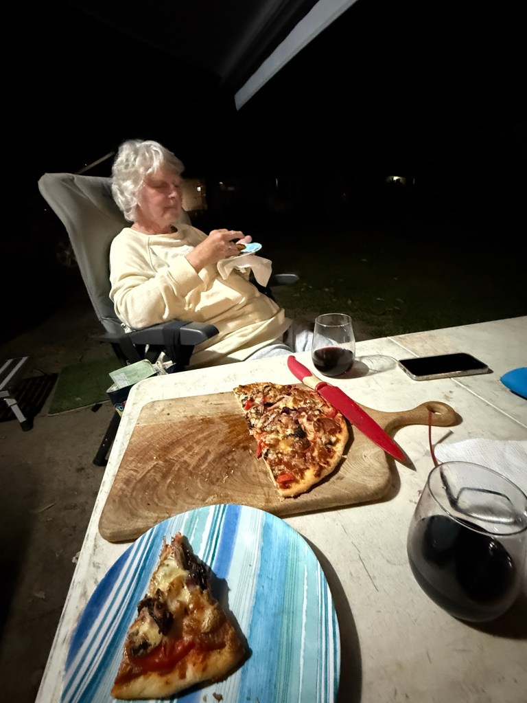
Back in the truck we started back for our Gloucester camp site. Seemed a bit easier on the nerves going down than coming up. Always good when you can see the bottom! We made it back in good time for an Allthego pizza in the Webber for dinner.
Day two saw us heading off to the Barrington Tops area. This is about the same travel distance as to Gloucester Tops. The last 23 km is a good unsealed road, a highway compared to the Gloucester Tops road. No water crossings, except over bridges!
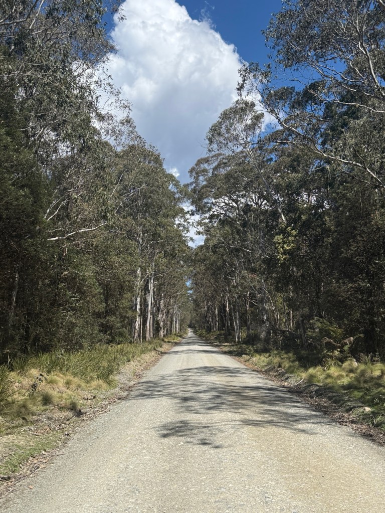
If you follow the road past the ‘Tops’ it takes you through to Scone. The road though is not recommended for caravans.
Gloucester is also the start of Thunderbolts Way, and the Forest Road branches off it a little way out of the town. We have been on parts of Thunderbolts way earlier in this trip around Walcha, Armidale and Uralla.
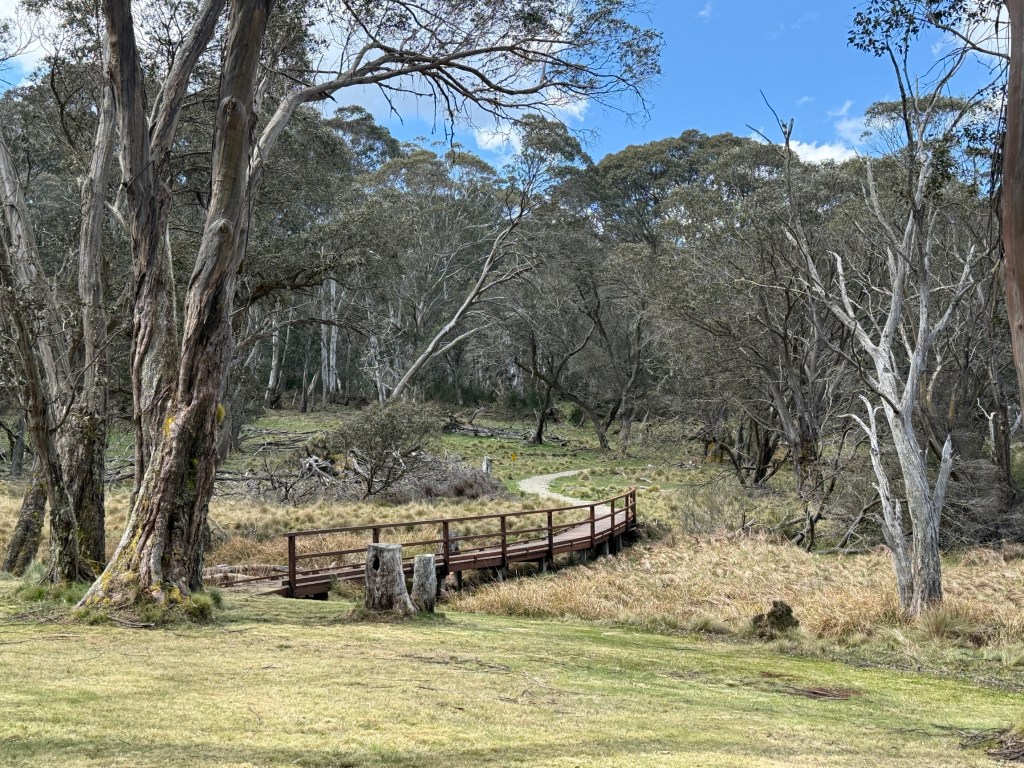
Further along the road is Polblue Swamp. The camping ground here is the highest altitude camp site in Australia, around 1550m. This moss bog is one of the largest on the Tops, consisting of sphagnum moss. It acts as a huge sponge, soaking up water in the wet and releasing it slowly creating a constant flow of water in the mountain rivers.
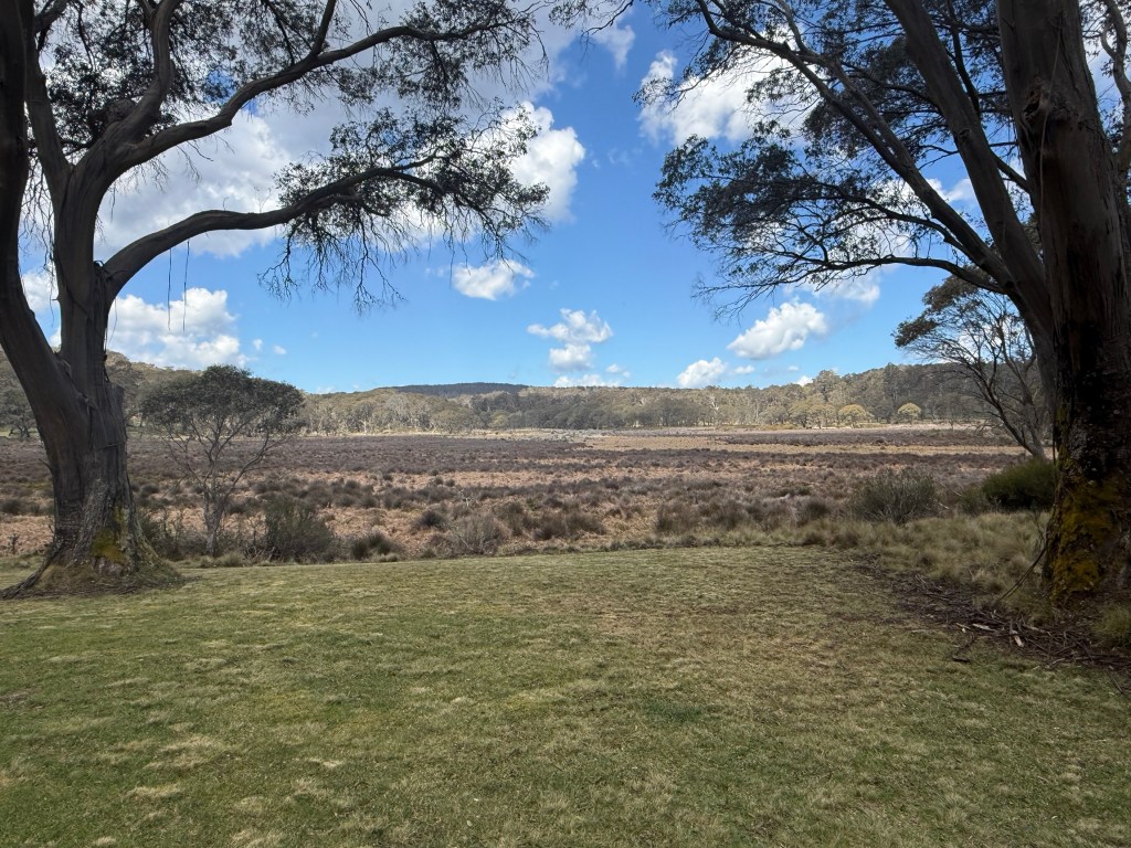
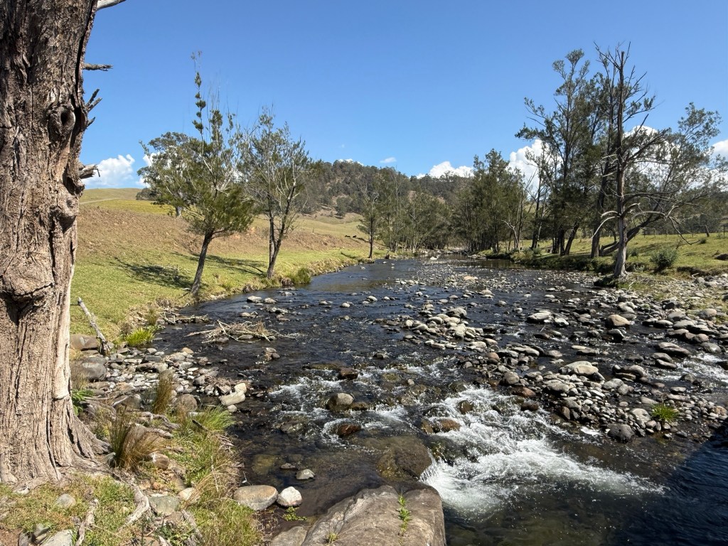
Allthego went for the 3 km stroll around the swamp. There are an amazing number of little creeks that flow into the swamp from the surrounding highlands. One of these is Polblue Creek, we see Polblue Falls further along the road before it reaches the swamp. Polblue ultimately trickles out of the swamp and ends up in the Hunter River on the way to Newcastle via Glenbawn Dam, where we camped, near Scone.
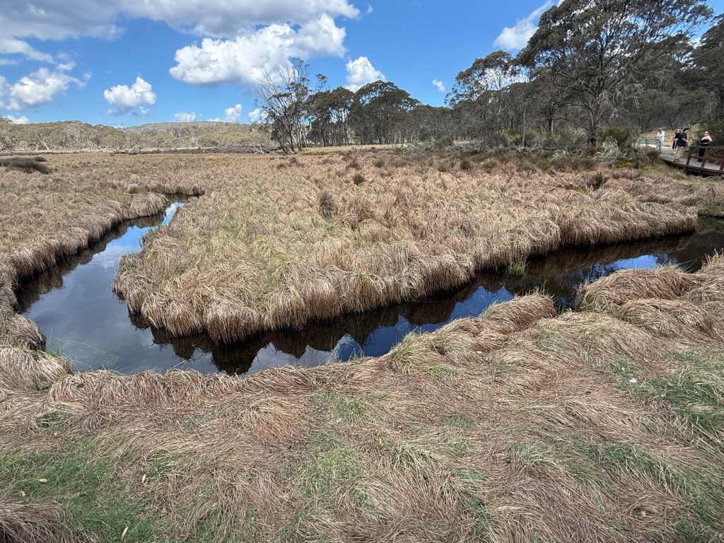
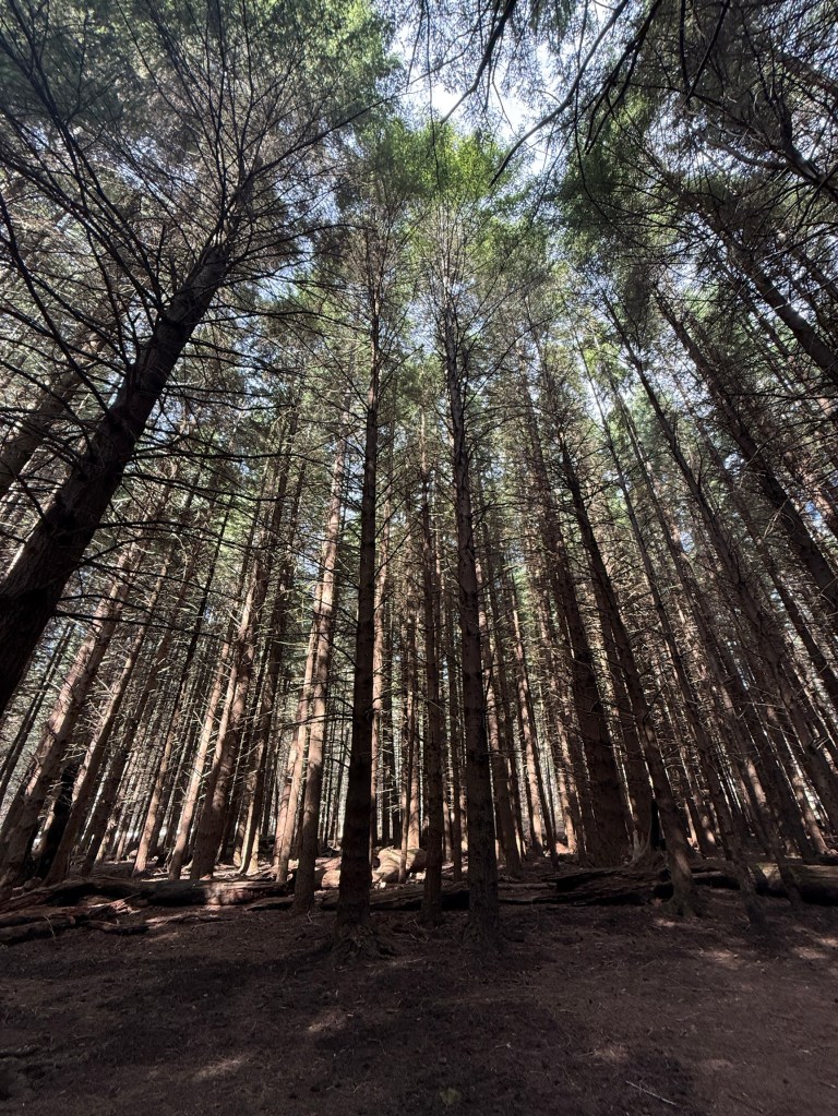
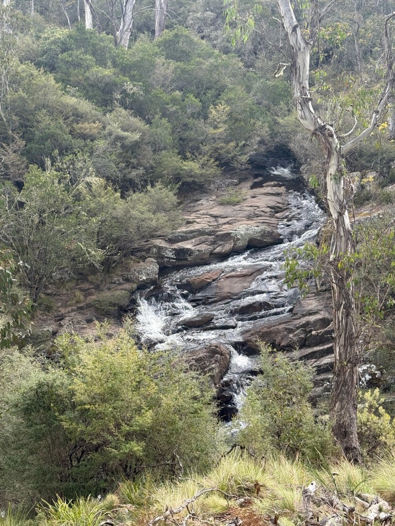
Polblue Falls was the furtherest we went along the Forest Road before turning around and heading back to Gloucester. Couldn’t resist though doing a 6km detour down to the Manning River Campground.
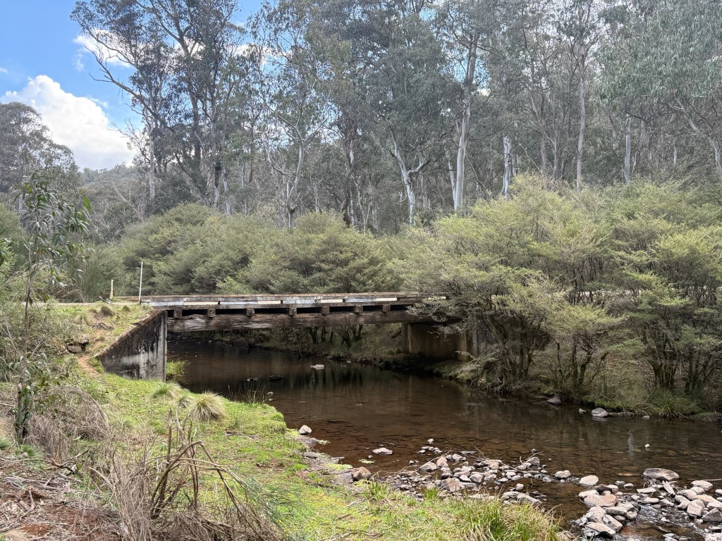
This is where the Manning River begins its journey to the sea near Taree. It flows north east whereas the Hunter flows south east off the Barrington Tops. Two of NSW great coastal rivers.
The Manning is a unique river in the Southern Hemisphere. It is the only double delta river having two permanent entrances to the river, one at Old Bar and the other at Harrington. It is also one of only two rivers in the world to have permanent multiple entrances, the other being the Nile. Interesting stuff! Is Wikipedia right? I suppose so.
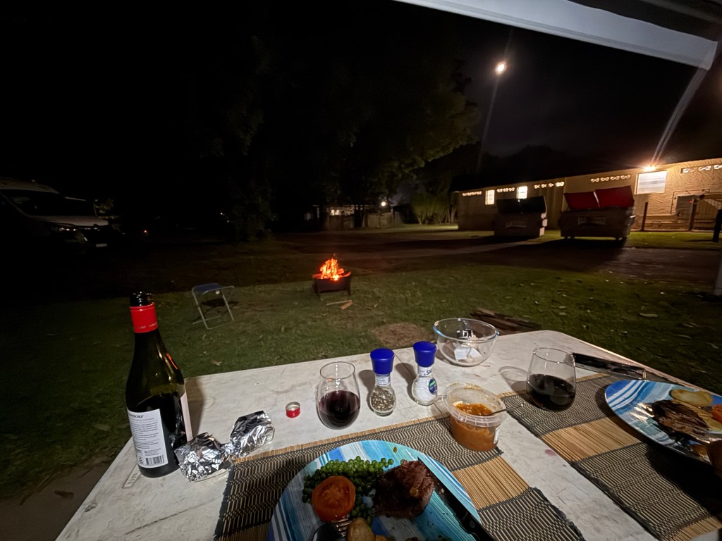
Back in camp we had open fire BBQ steak for dinner under the awning. The fire had to be a little distant!
We next head to Wingham to visit Leanne’ sister Sandra and hubby Don. Will watch the Knights clean up the Panthers in the NRL.
Gloucester and why not stop at Dungog on the way
We are now turning north and heading for home, but there are a few stops to be enjoyed before we get there in a couple of weeks time.
Our main objective was to get to Gloucester, to have three nights exploring the Barrington Tops NP.
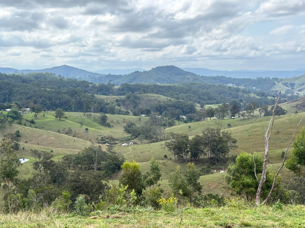
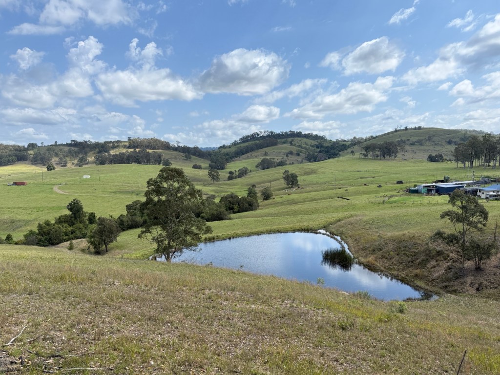
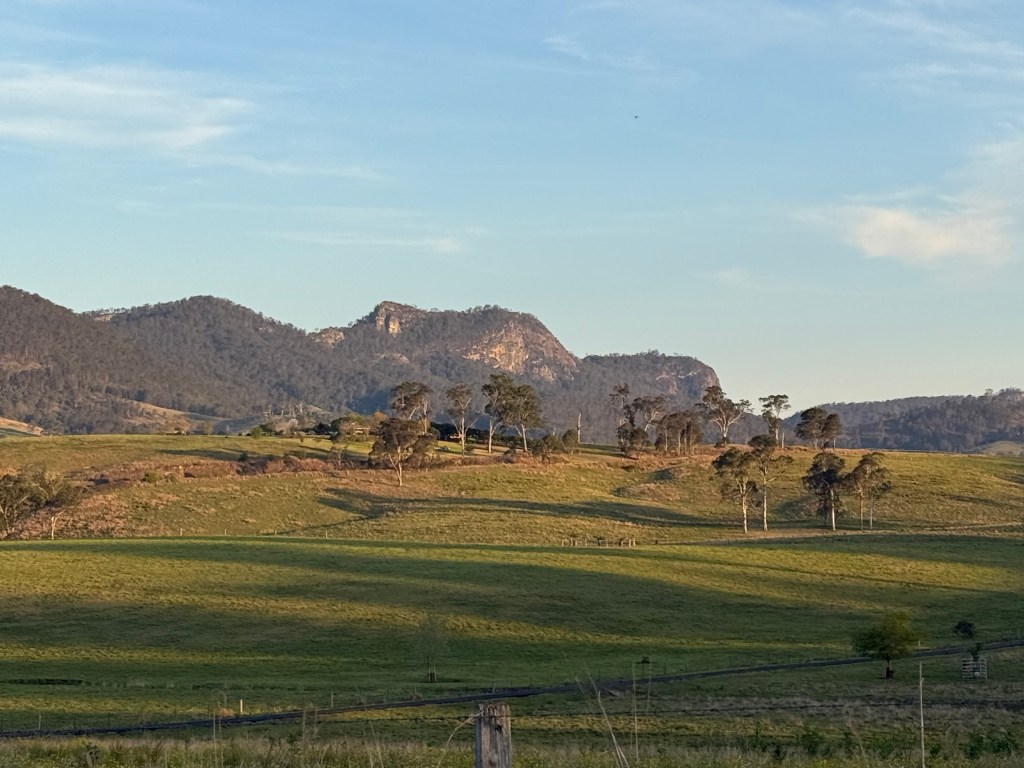
We turned off the New England Hwy at Singleton and followed some rural roads that took us 70 km to Dungog for an overnighter.
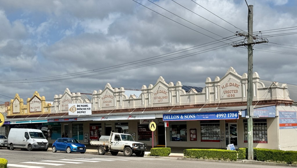
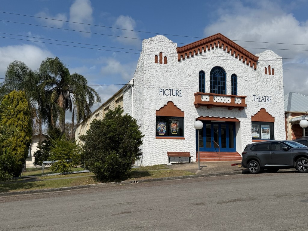
The highlight in Dungog is of course the new statue of Doug Walters outside the Information Centre, just unveiled last year (2025).
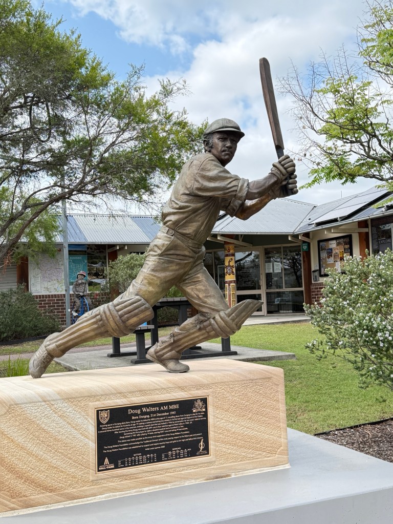
Every one of course knows who Doug Walters is! One of Australia’s greatest cricketers and Dungog’s favourite son.
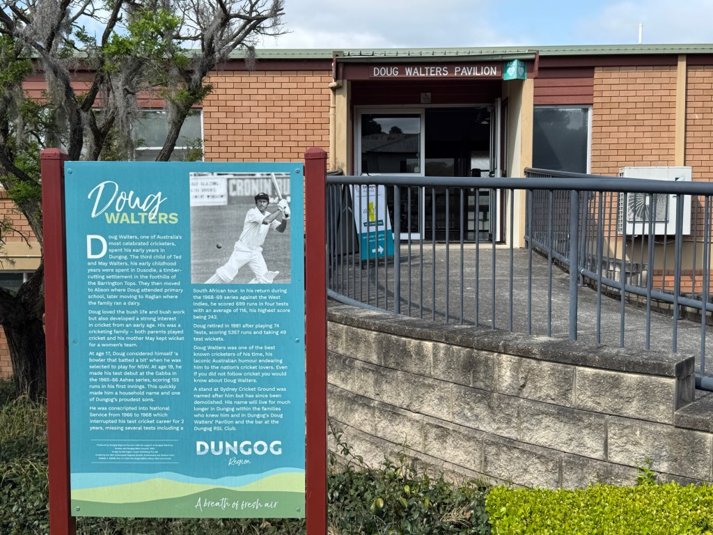
He was born in the Dungog area and played cricket here before being selected at 17 to play for NSW and later at 19 for Australia, against the old foe England in 1965-66. He made a 155 in his first innings.
In the 1968-69 series against the West Indies he became the first player to score a double hundred and a hundred in his two innings in a test.
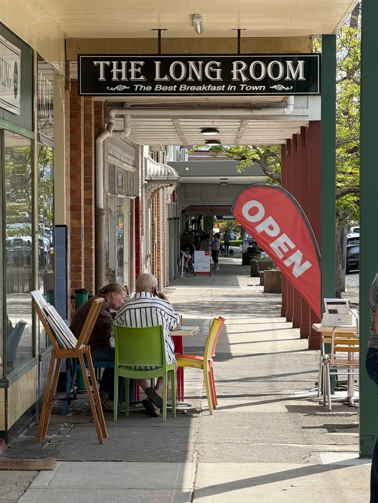
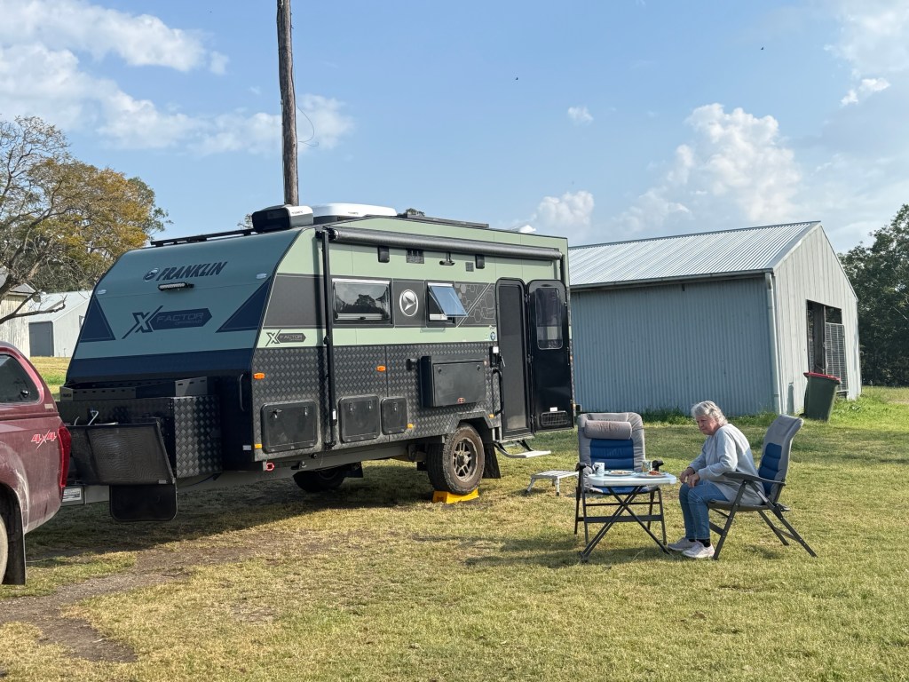
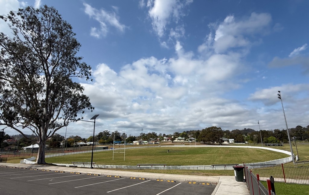
We stayed the night in the Dungog Showground, nobody else did, before moving on the next day to Gloucester.
Another loop
We have rambled off on another loop. This time to Merriwa, west of Scone, then south around the top of the Hunter Valley and back to Scone via Muswellbrook.
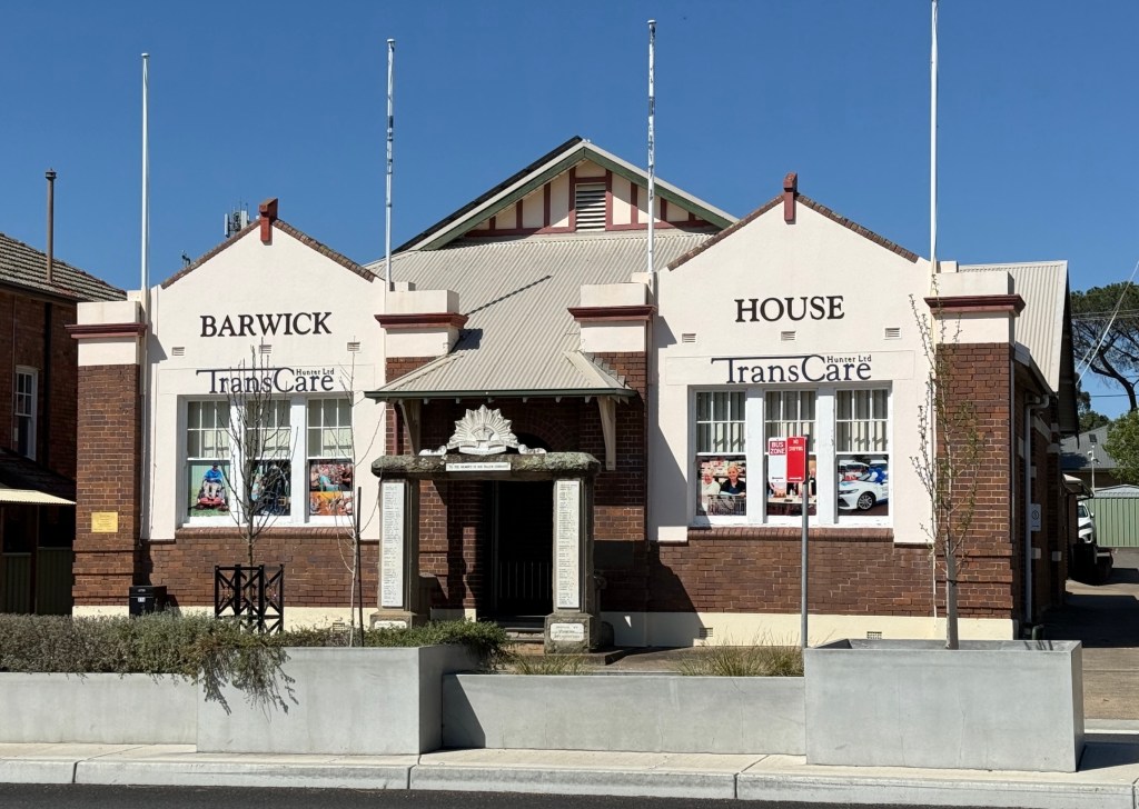
There is an interesting building in Scone named Barwick House. It was built around 1924 as the School of Arts. The arched WW1 memorial in front of it was added a little later. A community care group now operates from the building (no longer the School of Arts) but the arch remains and is a focus point on ANZAC Day.
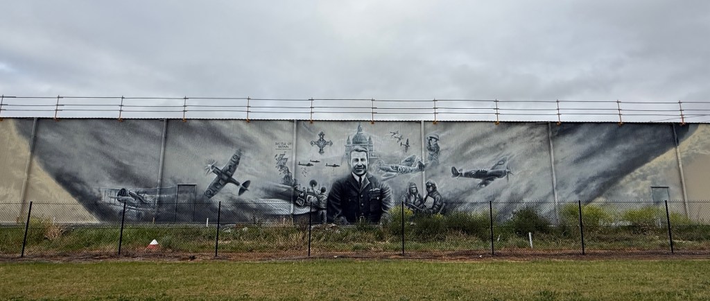
A collection of 20 or so restored heritage ‘Warbirds’ are housed out near the Scone Racecourse. The owner sponsors a biannual (?) air show when they take to the air. What is curious is that there is also a great big empty hanger beside the road with this mural along its side. Expansion plans maybe?
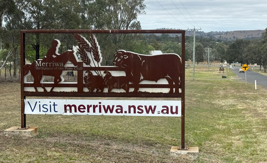
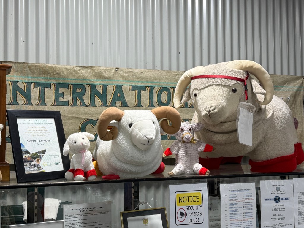
Merriwa is about 60 km west of Scone and we made it in good time. It is a big sheep district with a proud history in wool and lamb production. The town community store had a big collection of sheep industry memorabilia on display. More later about the red socks on the sheep.
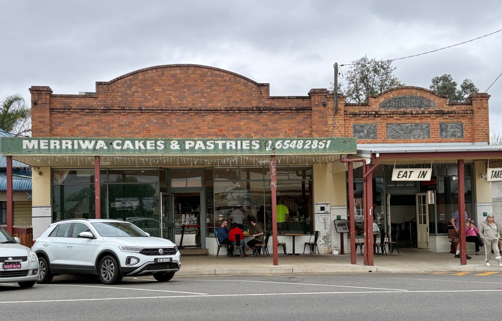
We had some morning tea at the local bakery. The building on the right in the photo was originally a butchery built in 1928, it is now part of the bakery building on the left built in 1935. Some of the interior walls are being supported by steel braces across them. We didn’t linger unnecessarily! Looks to be a prosperous business, Allthego’s sausage roll was very tasty with a nice crusty pastry.
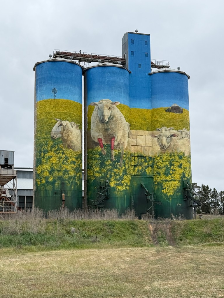
The town silos are adorned with sheep in canola fields, canola is now one of the regions major agricultural products. Takes pride of place with the sheep. The sheep are depicted with red socks. This is because annually in June the town holds the Festival of the Fleeces. Two hundred plus sheep lead the festival parade down the street dressed in red socks. Must be quite a sight.
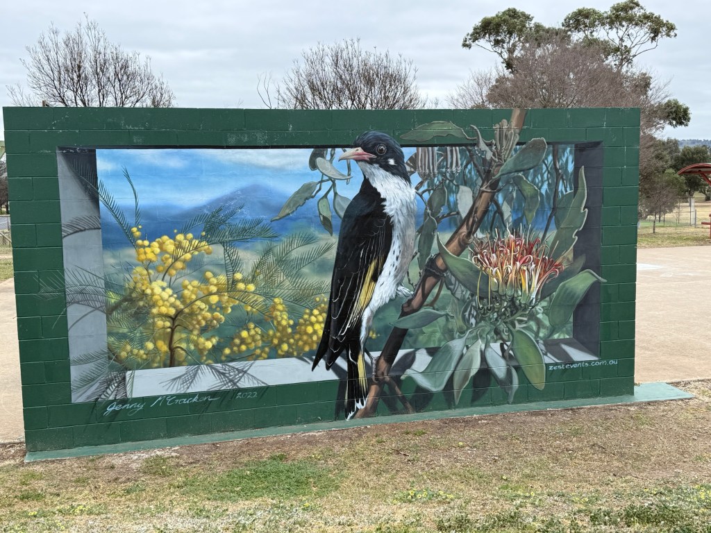
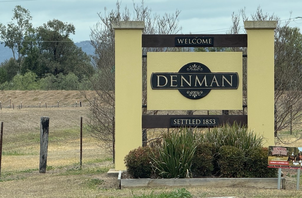
We made our way south from Merriwa to Denman in the Upper Hunter. This is an old historic town settled in the 1850s and known for dairy and beef cattle, horse studs, olives and vineyards.
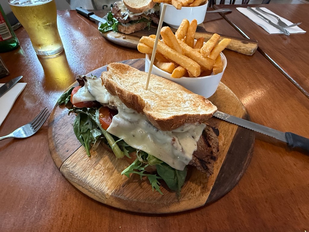
Time for lunch and we enjoyed a substantial steak sandwich at the Royal Hotel, there is always a Royal Hotel. Can recommend this pub!
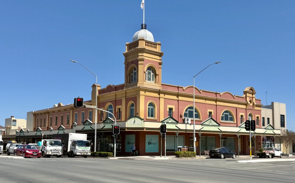
We then did a little cross country short cut and rejoined the New England Highway at Muswellbrook to the south of Scone. The Campbell building dominates the streetscape.
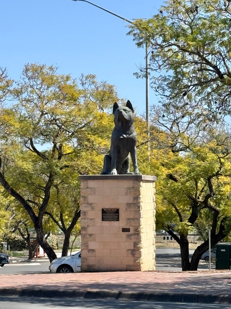
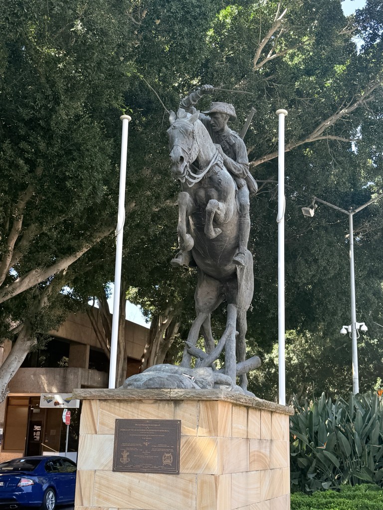
Horses have always been an important part of the Muswellbrook economy. The area supplied many for the early Australian army. The town has a memorial for the 100th anniversary of the 1917 Australian Light Horse charge on Beersheba in the Middle East during WW1.

And we couldn’t resist a stop at the local cheese factory outlet! Not bad stuff either!
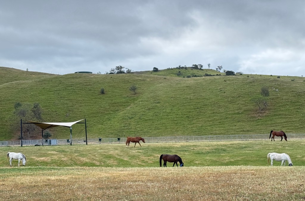
On our way back to the dam we managed to spot a paddock with horses. Despite all the studs the horses had been scarce!
Our time in the Scone area has ended and we now head south towards Singleton on the final stretch of the New England Hwy and then north to Gloucester.
Around and about Scone
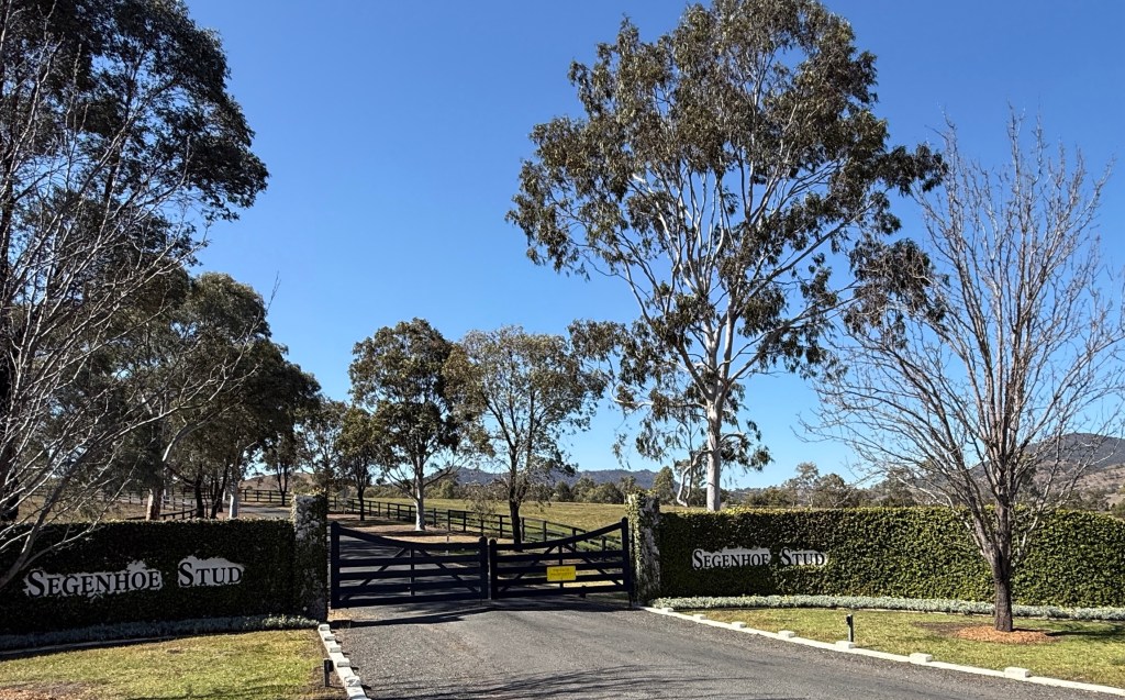
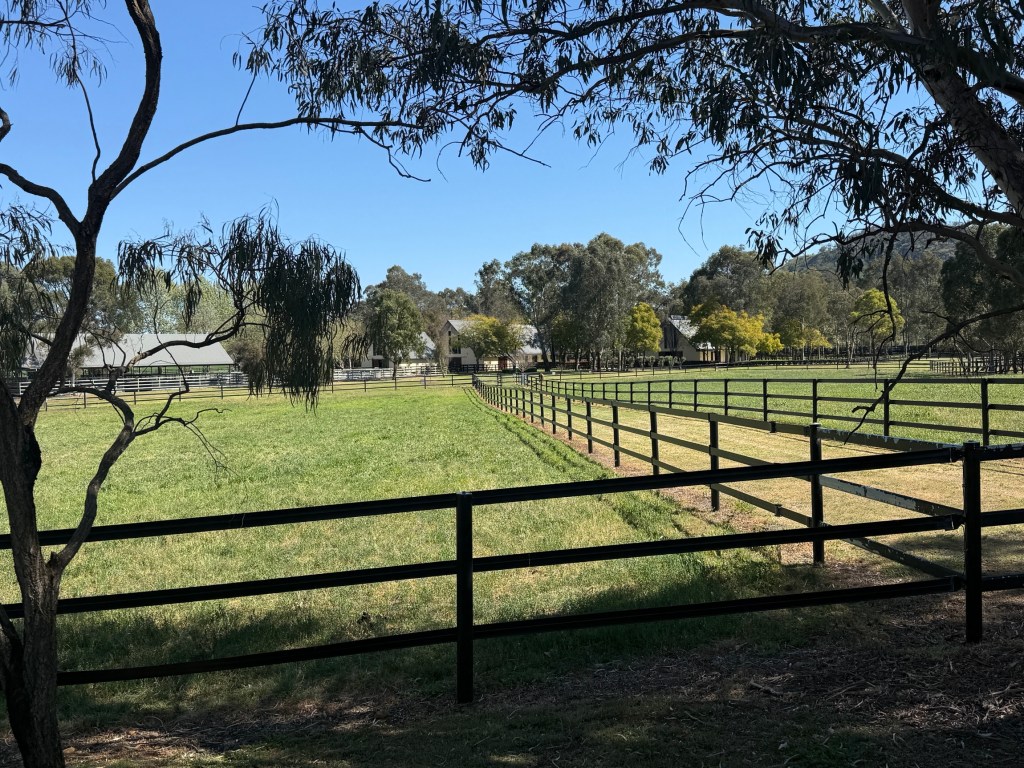
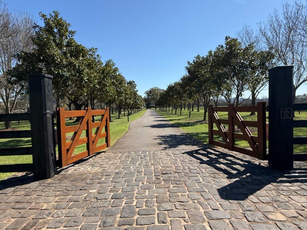
When driving around these parts you can’t miss the horse studs and the wooden paddock fencing. A lot of money is lurking behind the gates and green pastures!
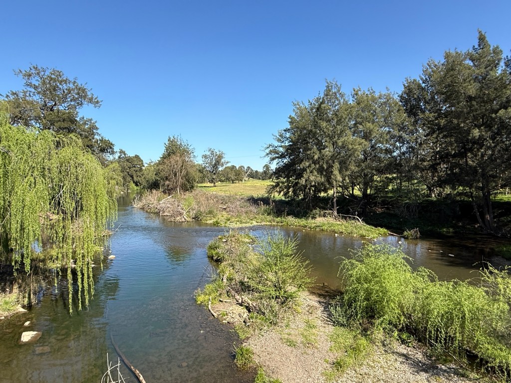
Heading away from the dam we chose to take the back road to Aberdeen, just to the south of Scone. Some rolling green hills in the upper reaches of the Hunter River, below the Glenbawn Dam walls.
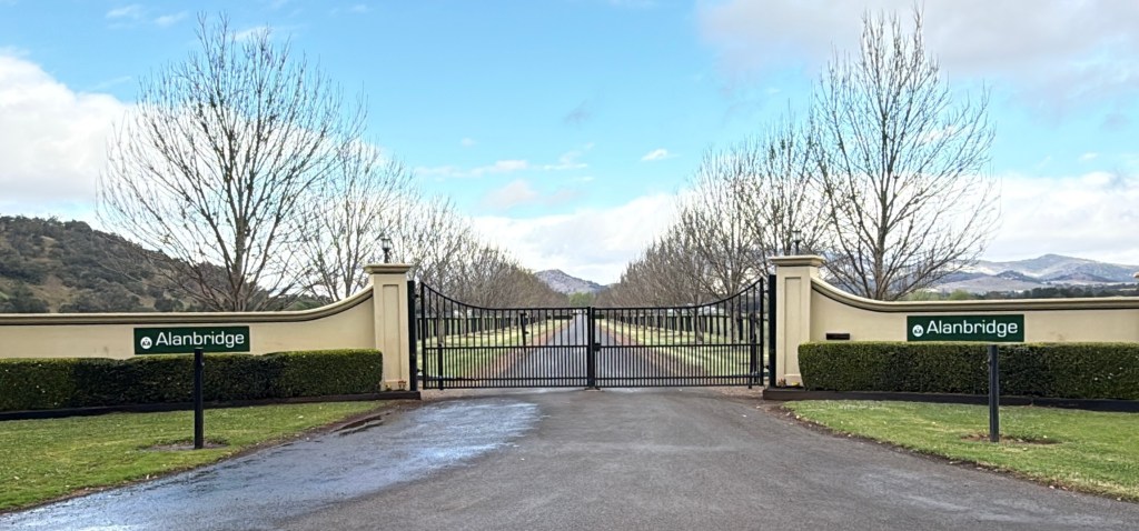
Aberdeen is very Scottish and they have an annual highland games festival, like a number of other towns along the highway.
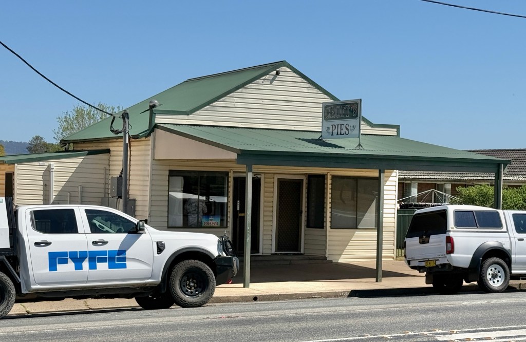
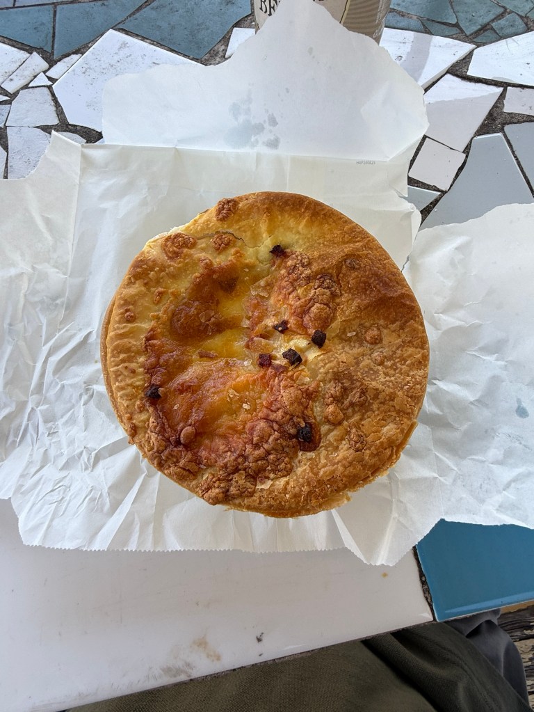
There is also a very good pie shop, appropriately named ‘Croft’s Pies’. Enjoyed one in the park. Very tasty, maybe the best yet! Will Scottish readers get the ‘Croft’s’ reference?
We circled back to Scone later in the afternoon for a little sight seeing n the town.
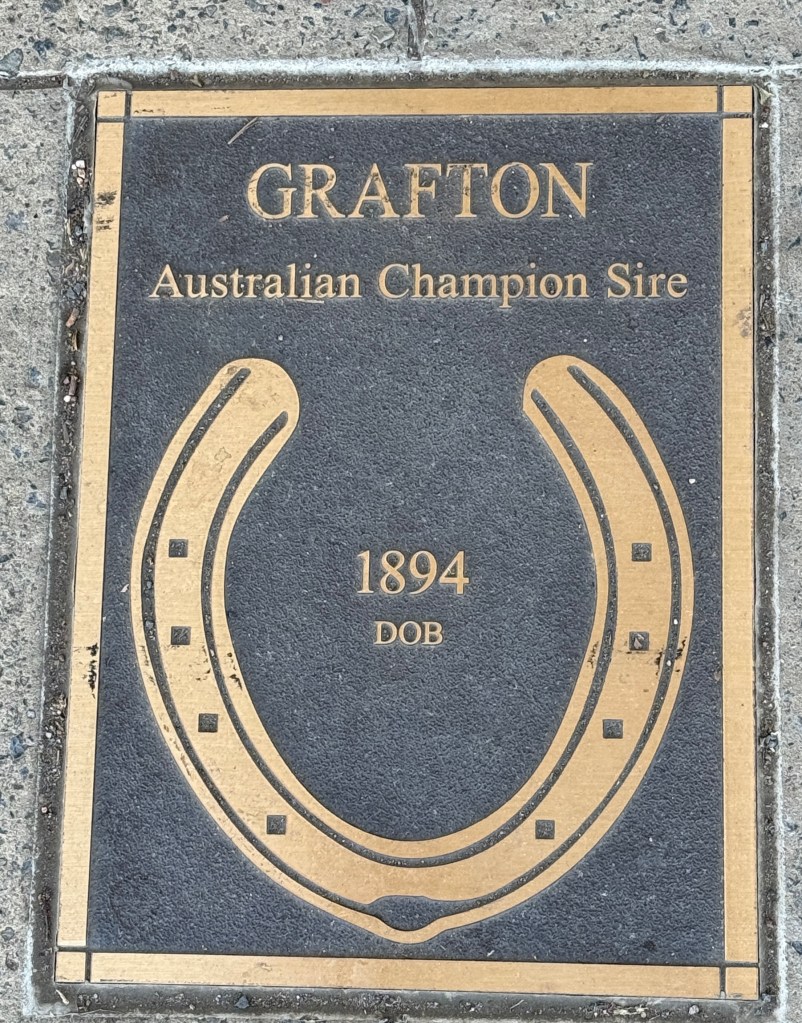
Just like the Hollywood of Fame walk. Horse shoes on Scone’s main street.
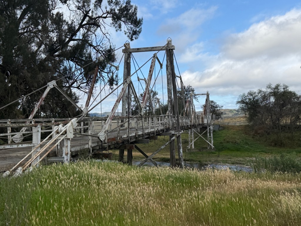
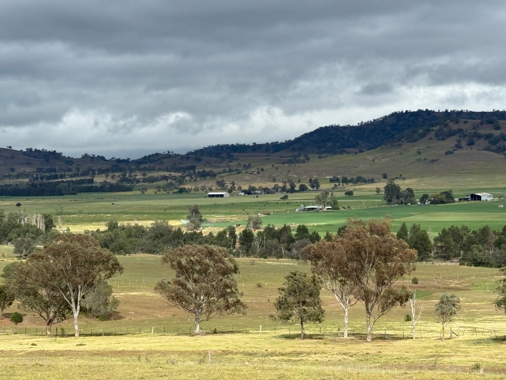
We took a different road back to the dam, crossed a dicky bridge, one vehicle at a time with a 4 tonne limit. So we made it, a tonne or so to spare! But more great countryside. See you next time, maybe ‘fush n chups’ time at last!
Heading south
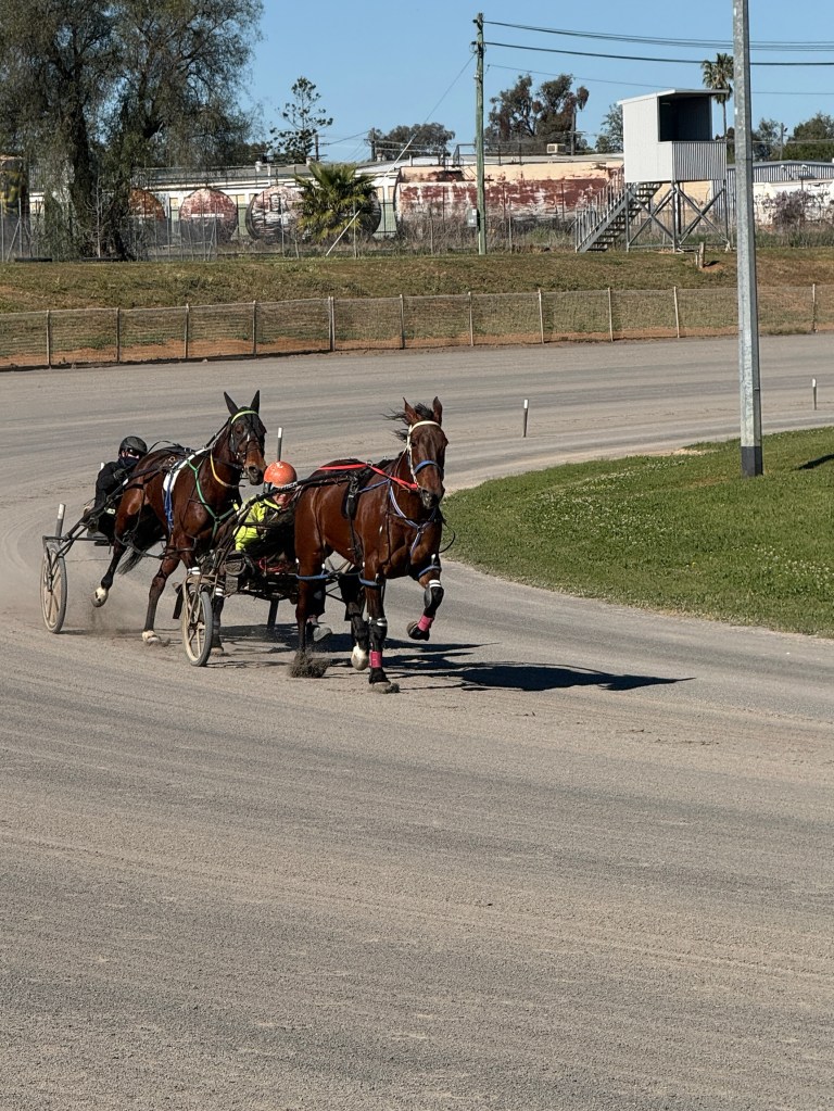
We are moving on south to the Scone region, known as the ‘Horse Capital’. But before setting off we thought we should get in some horse action here at Paceway Tamworth, right here on the track just beside the van.
Also had a look at a couple of interesting things around town. One being the 1.5 km long King George V Avenue constructed and planted in 1936 with memorial English Oak trees to celebrate the reign of the King.
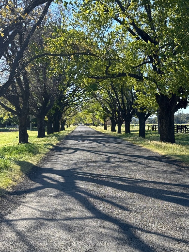
A number of the trees have died and been pulled out, others are on their last legs. The Council are doing a replanting program to restore the avenue. Some nice canopied stretches remain.
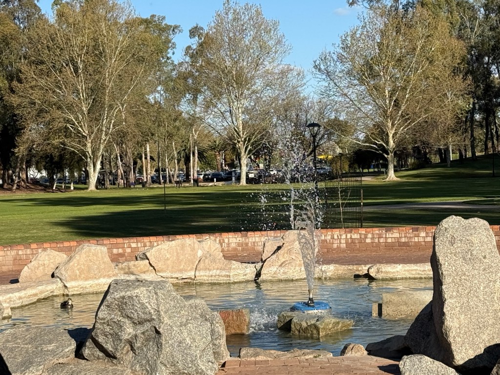
Back in town there is the Bicentennial Park running the length of the CBD and along the course of the Peel River. A fountain is at one end near those country music heads and the war memorial at the other end.
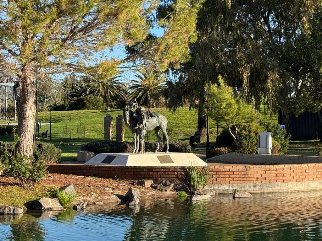
There is a bronze statue of a horse used by the Australia Light Horse Brigade during WW1. Between 1861 and 1931 around 500,000 of these horses, known as ‘Walers’, were exported for military service in India, the Boer War and Egypt. Only one returned to Australia. Rather than being left behind to an uncertain future Australian soldiers humanely killed the horses.
Scone is about 140 km south of Tamworth a short hop but we decided to stop at the free camp beside the creek at Wallabadah, about half way. A pretty spot for some afternoon feet up time in the sun!
Wallabadah has some unusual gardens. It is home to the ‘First Fleet Memorial Gardens’, a bicentennial project. It is the only place in Australia that lists on a memorial all the names of the people aboard the ships of the First and Second fleets. Decedents come here from all over Australia for reunions and family gatherings.
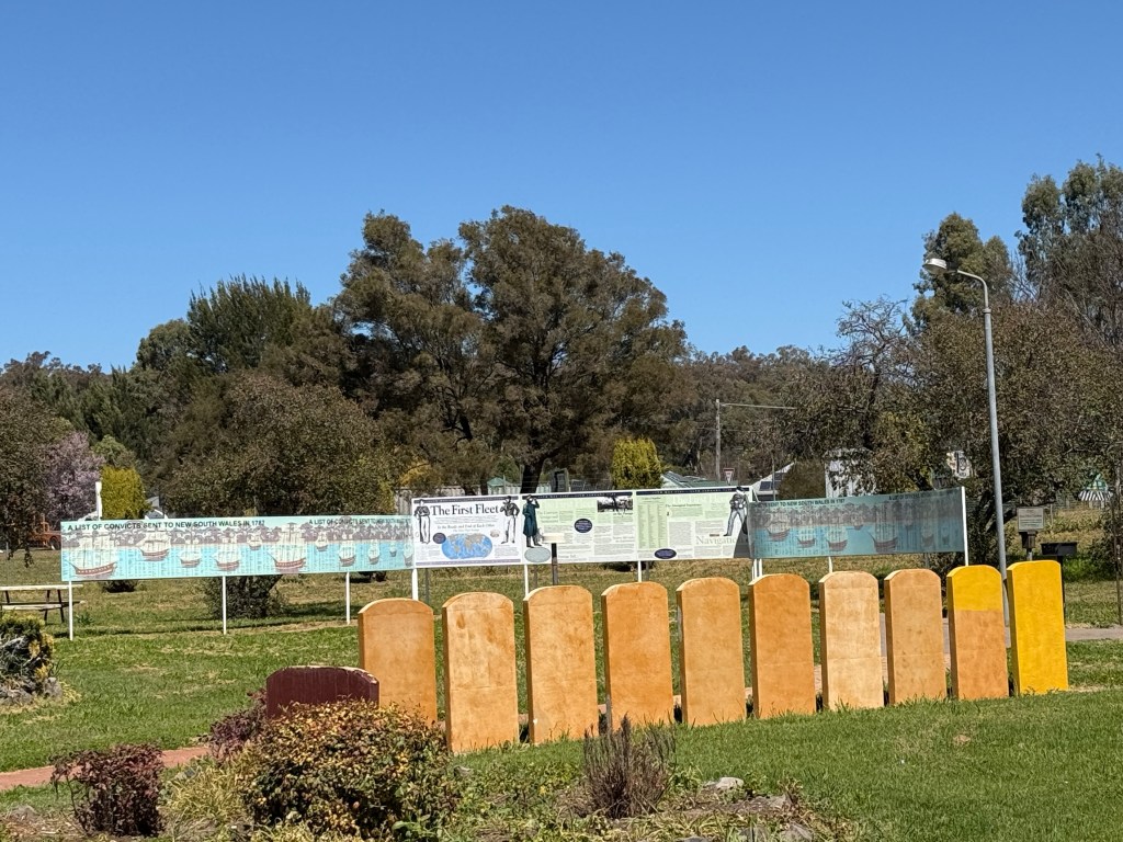
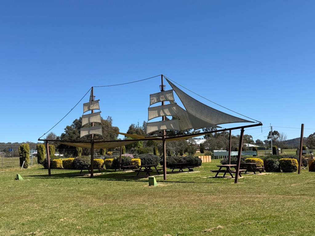
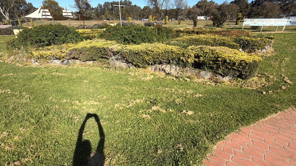
There are eleven small gardens representing the ships of the fleet approaching a much larger garden in the shape of Australia, a little hard to visualise from ground level.
Why Wallabadah ? Many other places in NSW although offered didn’t want it. I suspect it may not have been built here today. Liverpool Plains Council is looking after the site, even though it is getting a bit ragged. Some TLC needed!
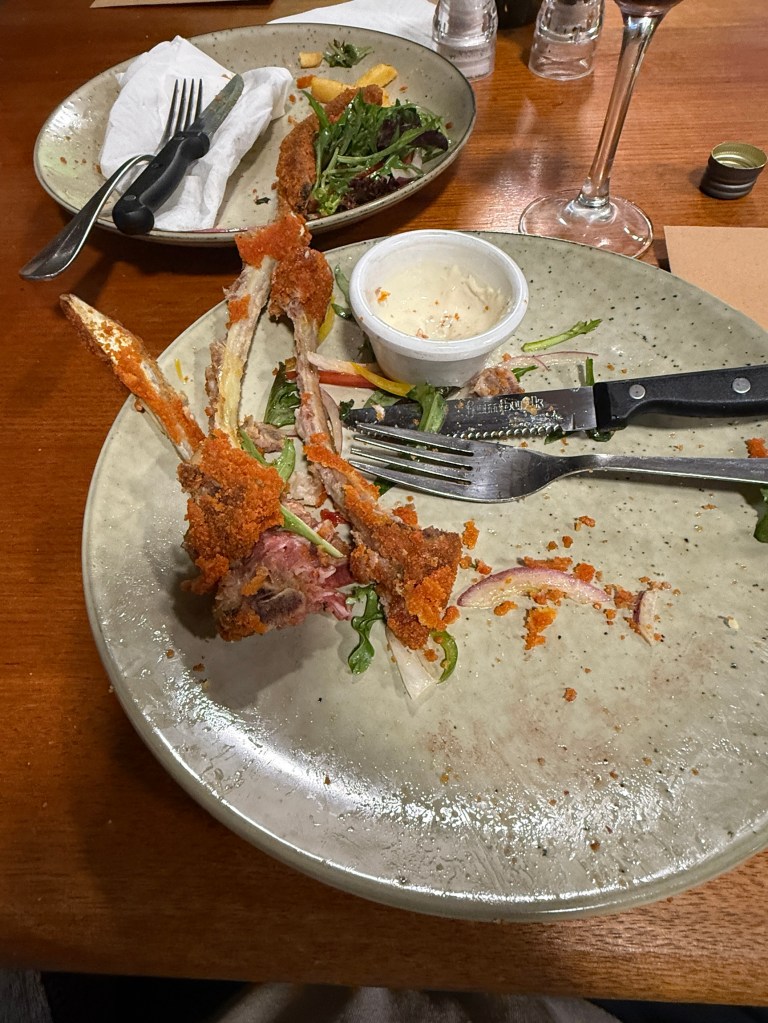
Had some rather tasty but heavily fried lamb chops for dinner at the small hotel, which dates back to 1867. Many of the small towns along this stretch of the highway were staging posts for Cobb & Co coaches in the early days of pastoral expansion.
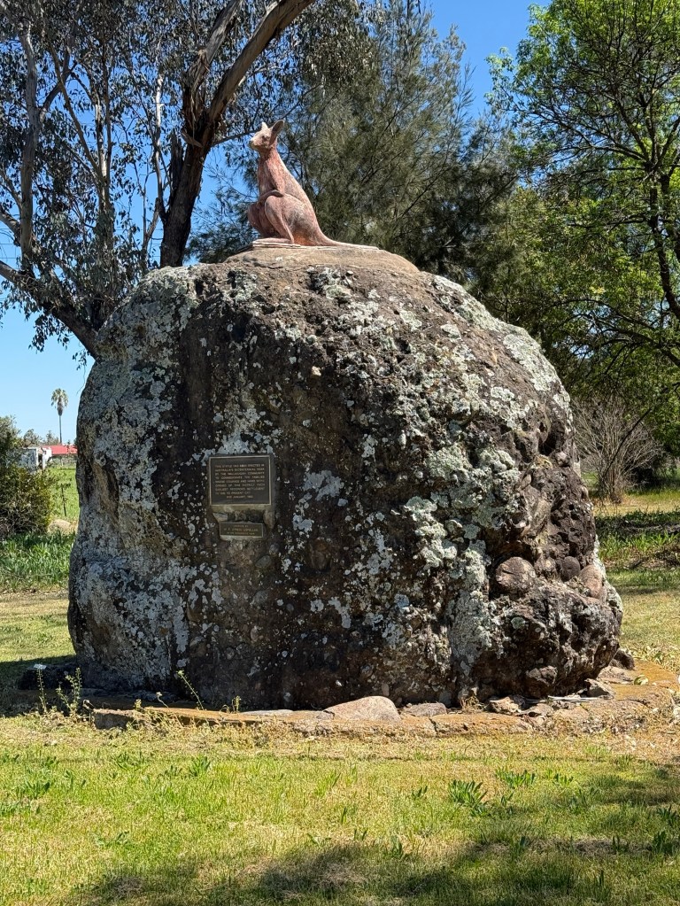
Another Wallabadah gift to the nation is this statue of a Rock Wallaby, common to the area and perhaps from which the town’s name was derived.
Next day we moved along towards Scone, stopped at Willow Tree for a while to look at the Information Centre displays. There was a video showing here of the light show that is played each evening across the silo art we saw in Quirindi a few days back. Interesting to maybe see in real time sometime!
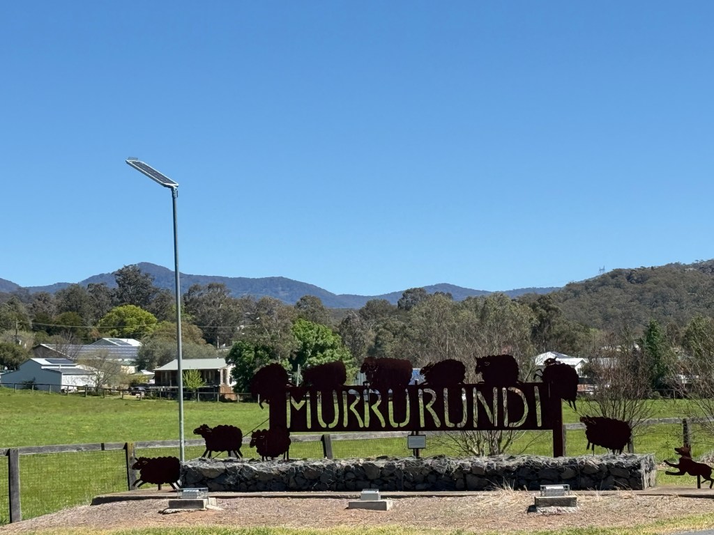
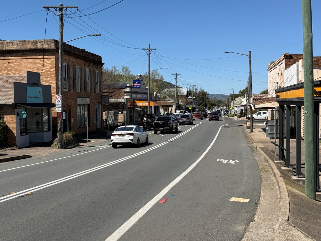
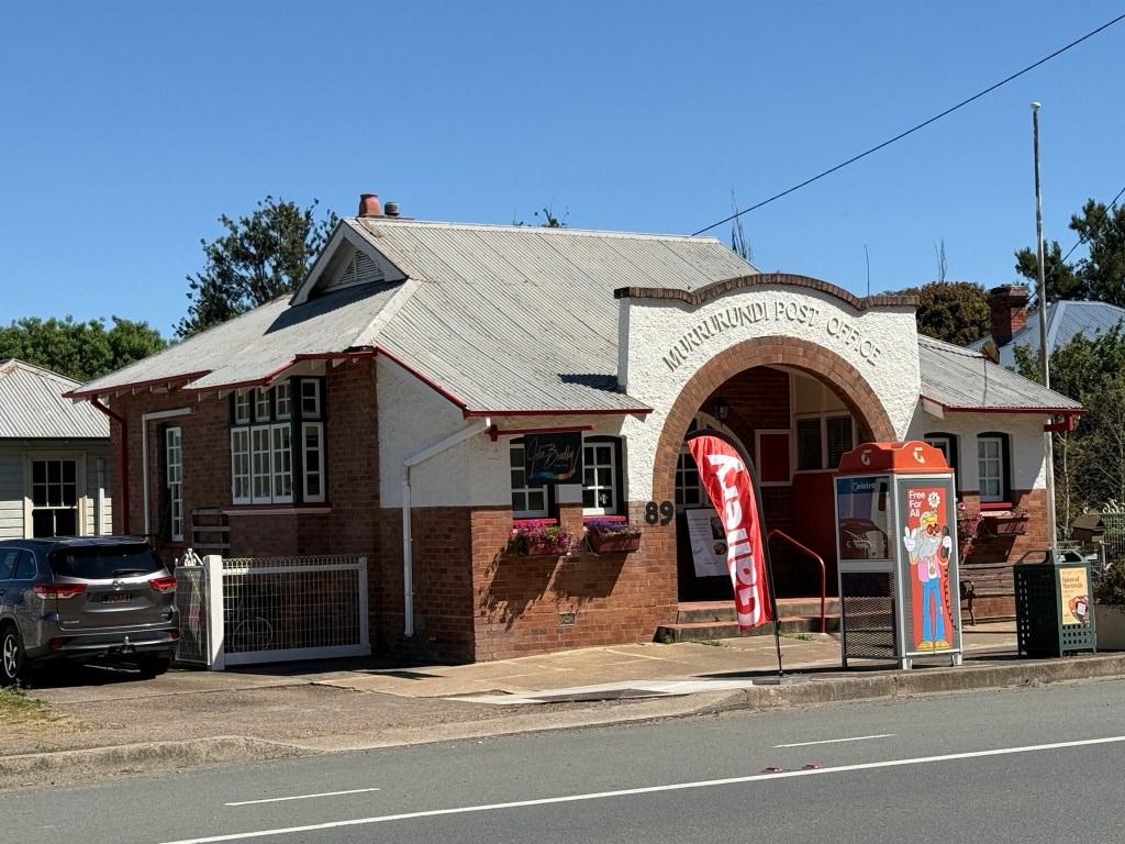
Murrurundi was the next pause for a quick look at this old town. The old post office has been reimagined as an art gallery. But! The old stamp vending machine has been preserved for posterity. An oddity these days but I do remember them well.
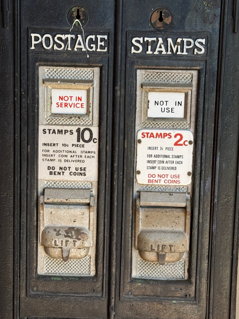
This one ‘shut up shop’ when postage was 12 cents, a 10 cent and 2 cent stamp were dispensed.
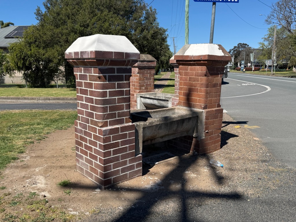
And this horse drinking trough beside a T intersection on the highway has been here a while.
Getting late so we got back on the road to Scone. A little disappointed when we arrived in the Horse Capital. The two van parks in the town looked a little grim, lots of huts and you couldn’t see the spots for vans among the concrete and timber. Seemed to be mostly worker accomodation. Not for us. So the other option was about 29 km out of town at Glenbawn Dam.
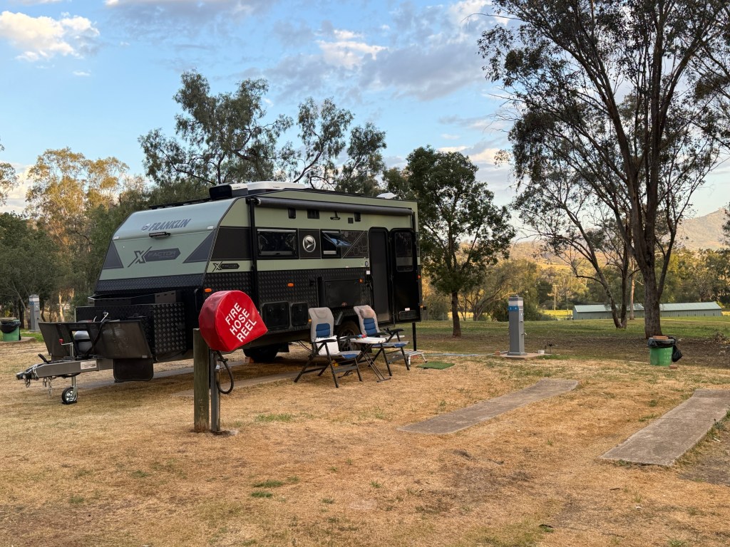
The dam was 5 km down the road from the powered site area. We made a trip down there for a look see. Looked a lot like most dams, plenty of water and boats.
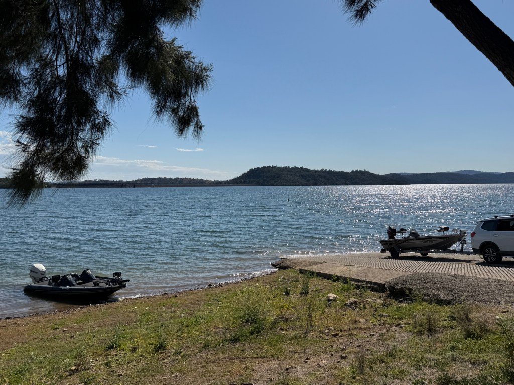
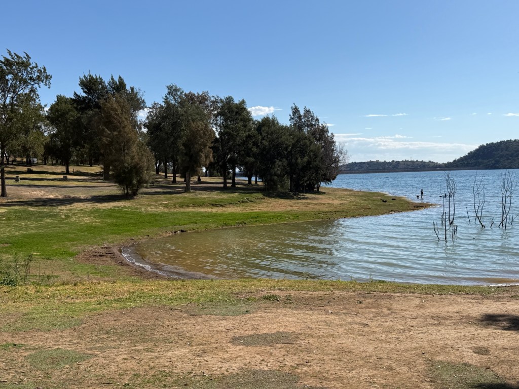
This proved a great location for our three night stop in this region.
Going on a loop
Whilst in Tamworth we have ventured out on a loop trip to some of the smaller villages in the region.
The excursion took us out west to Werris Creek. Werris Creek is an old railway town.
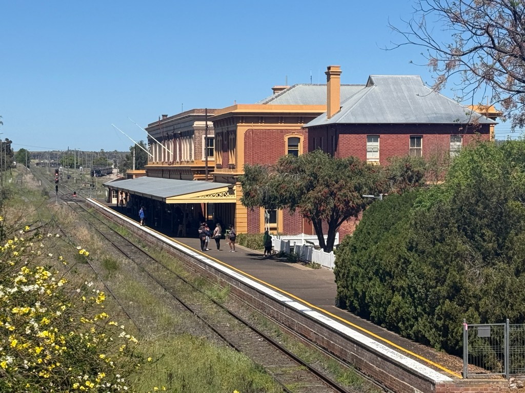
Built from 1877 to 1880 the heritage listed station is the third largest in NSW, though not sure how this is measured.
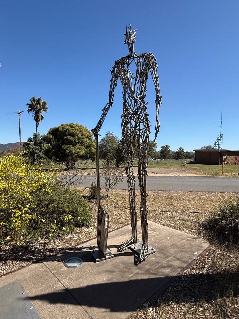
There is a substantial museum in the station and outside is a national memorial park to railway workers who have lost their lives whilst on the job. Their names have been listed State by State on panels set among steel caricatures of the job roles.
The town was purpose built as a junction for the development of two major railway lines. The Main Northern line from Sydney to Brisbane and the north west line, which branched from Werris Creek and went to Moree and beyond. Later a cross country branch line in a south west direction was constructed to link Werris Creek to the Western line from Sydney near Dubbo. This was all done to secure transport routes around the State. There were 750 railway workers here at the height of all the action.
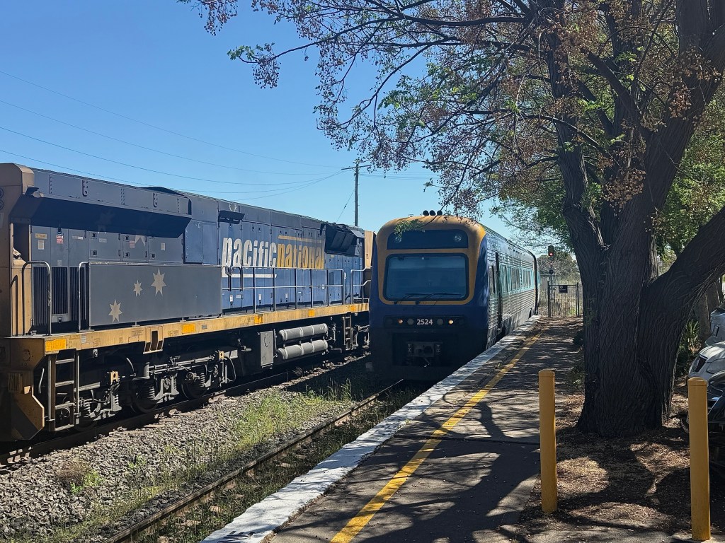
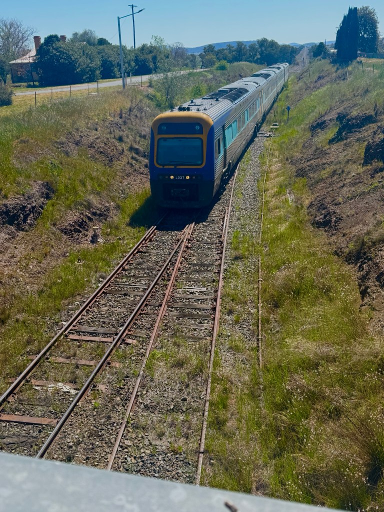
Our timing was good here as a two car passenger service arrived from Moree shortly followed by a four car passenger service from Armidale (where the Main Northern line now terminates).
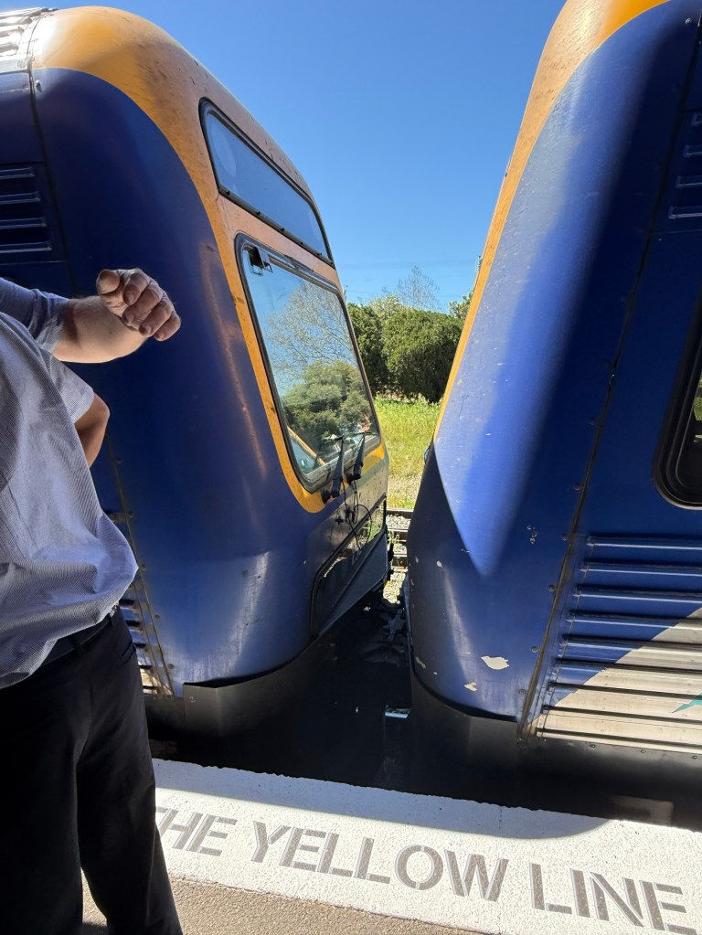
These two trains were then coupled and headed off to Sydney, to return the next morning.
Not far on from Werris Creek is Quirindi, historically this was a big sheep area for wool and lamb. Now also into cereal crops, canola and sunflowers feature prominently.
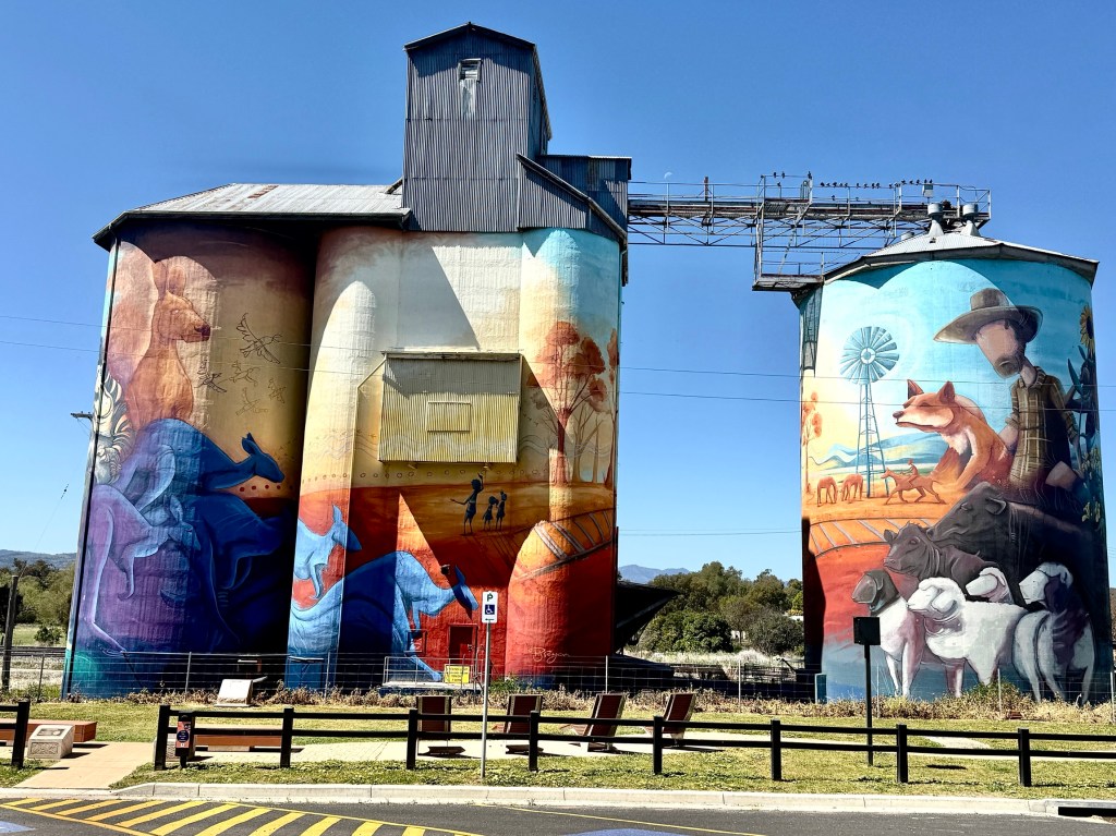
The local silo complex has had an art makeover, depicting the indigenous past and wildlife through to today’s agricultural and pastoral activities. Interesting work.
From Quirindi the road heads east back to the New England Hwy at Wallabadah. Wallabadah is about 55 km south of Tamworth.
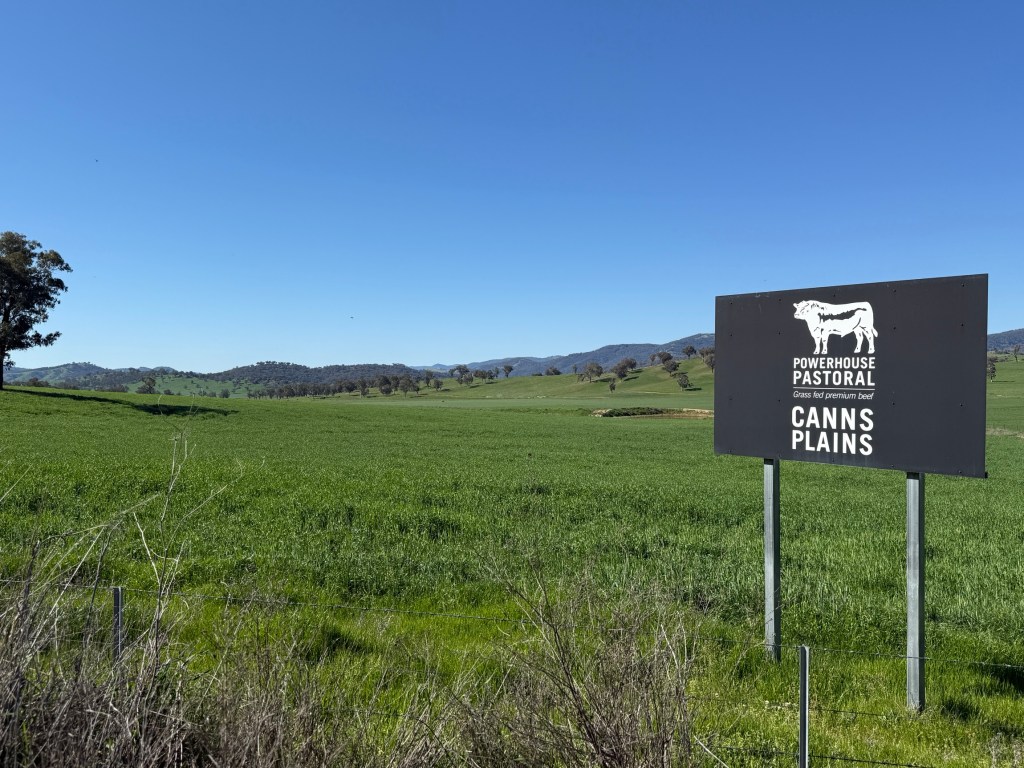
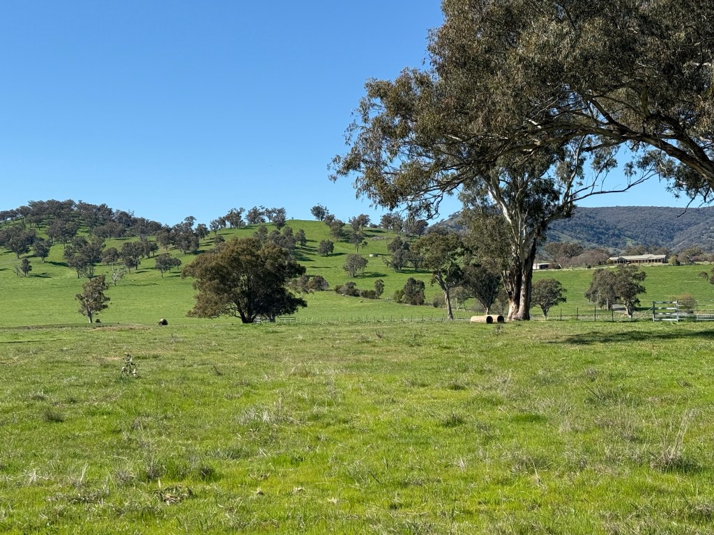
A little north of Wallabadah we took a road that headed east off the highway and curled around to the north through Nundle and the nearby village of Hanging Rock.
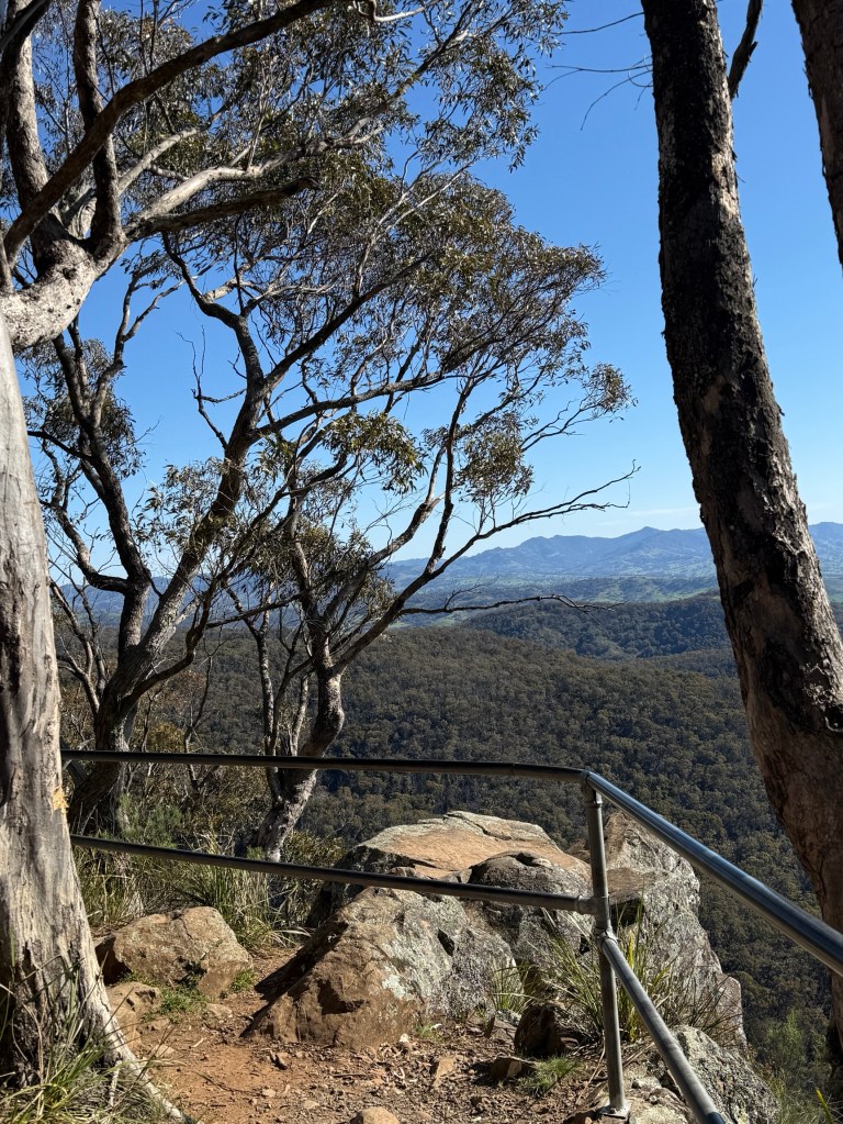
Nundle is an old gold mining town near the headwaters of the Peel River. Nundle is now known for its restored woollen mill.
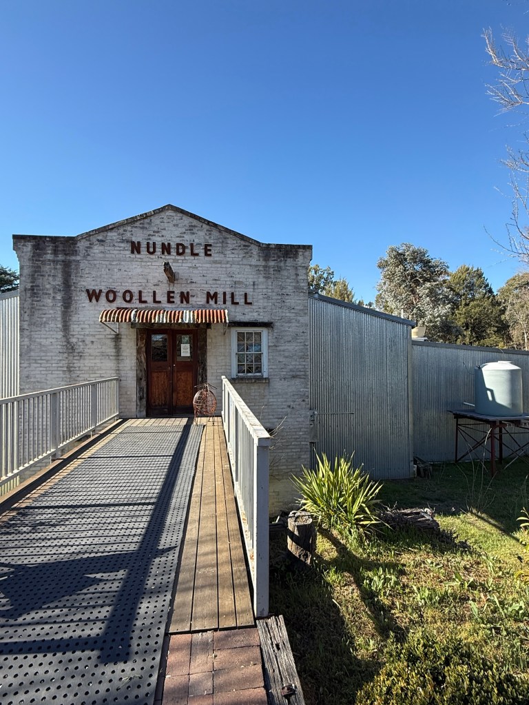
We called in and had a look through the merchandise and also the factory floor operation. The wool comes from Tasmania, it is scoured in Australia’s last operating wool scour in South Australia before being transferred to Nundle for spinning into yarn.
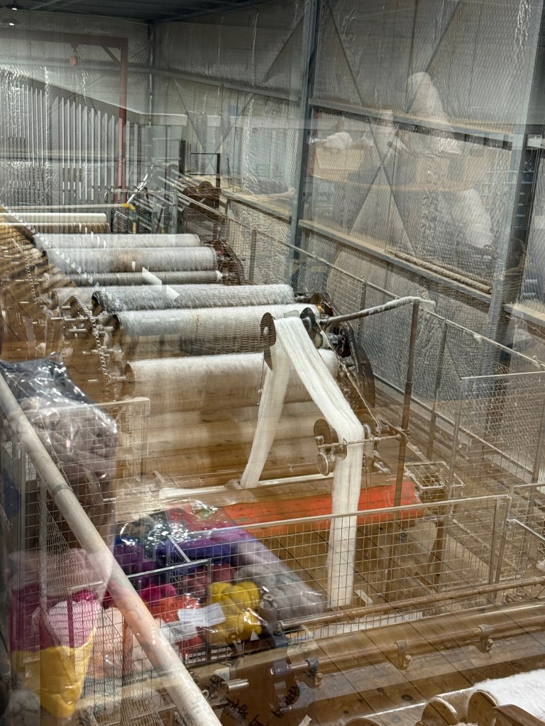
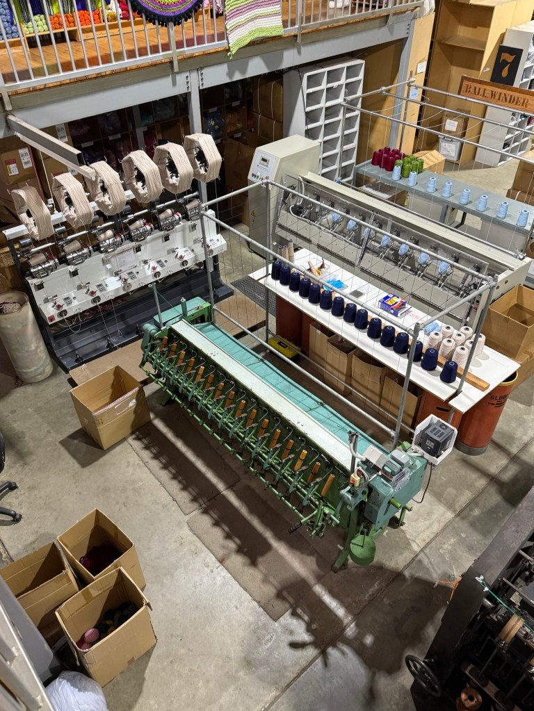
The yarn is also sent off to another location for sock making etc. Nundle is one of the few remaining spinners in Australia. This part of the wool industry in Australia could be in its final days. Who knows?
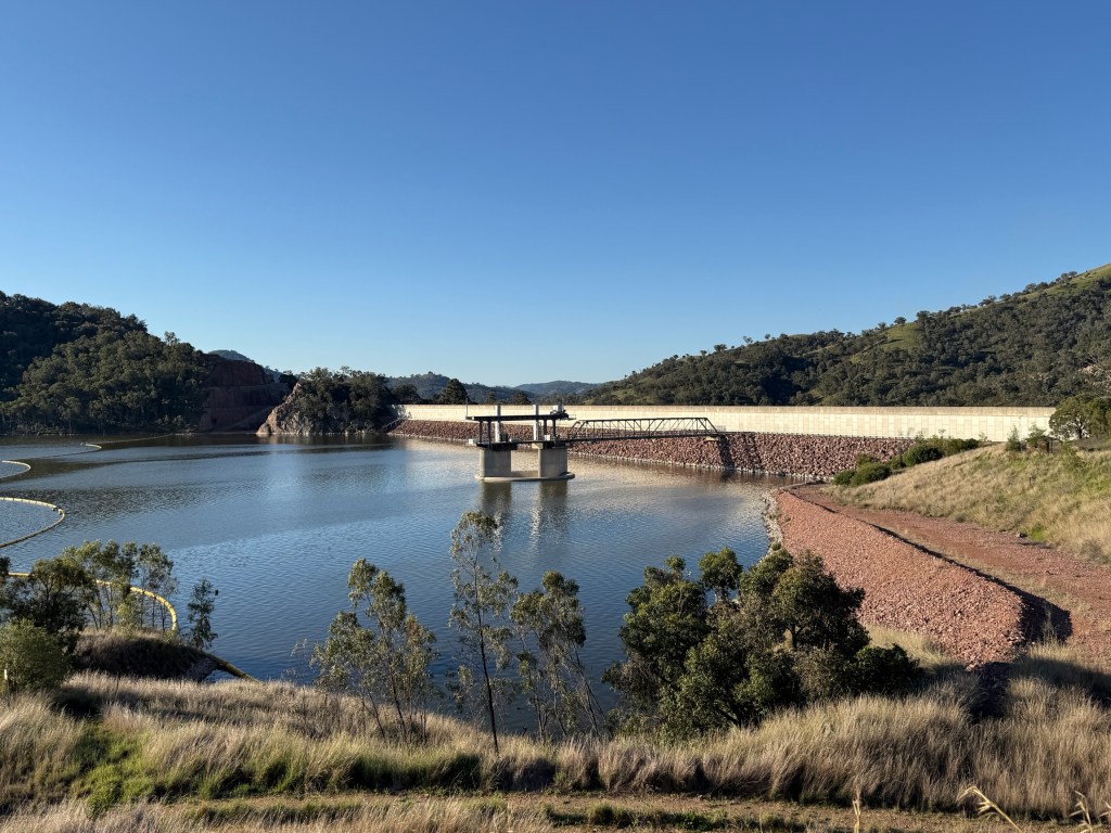
After Nundle the Chaffey Dam, filled by the Peel River, looms large beside the road. Water is stored here for agriculture in the Peel Valley. The river meanders on from below the dam wall and flows through Tamworth.
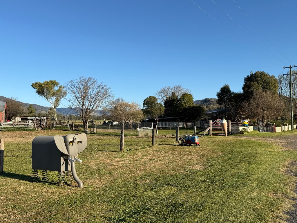
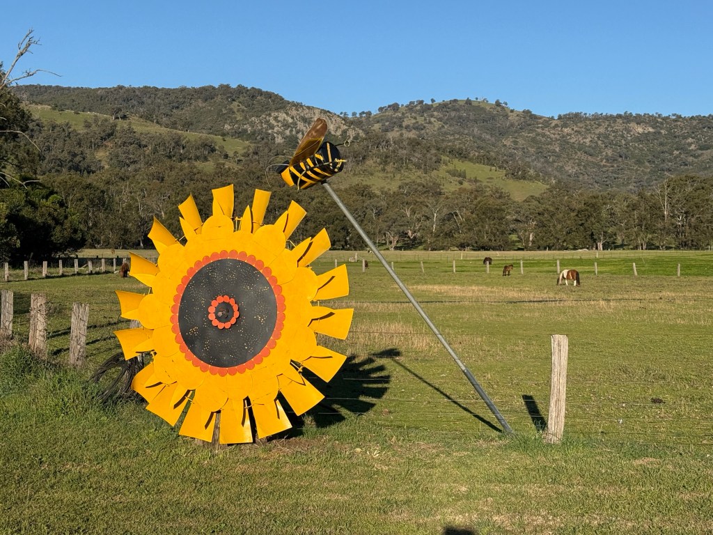
It had been a long day on the road but we had made an evening booking to take in a concert at the Capitol Theatre.
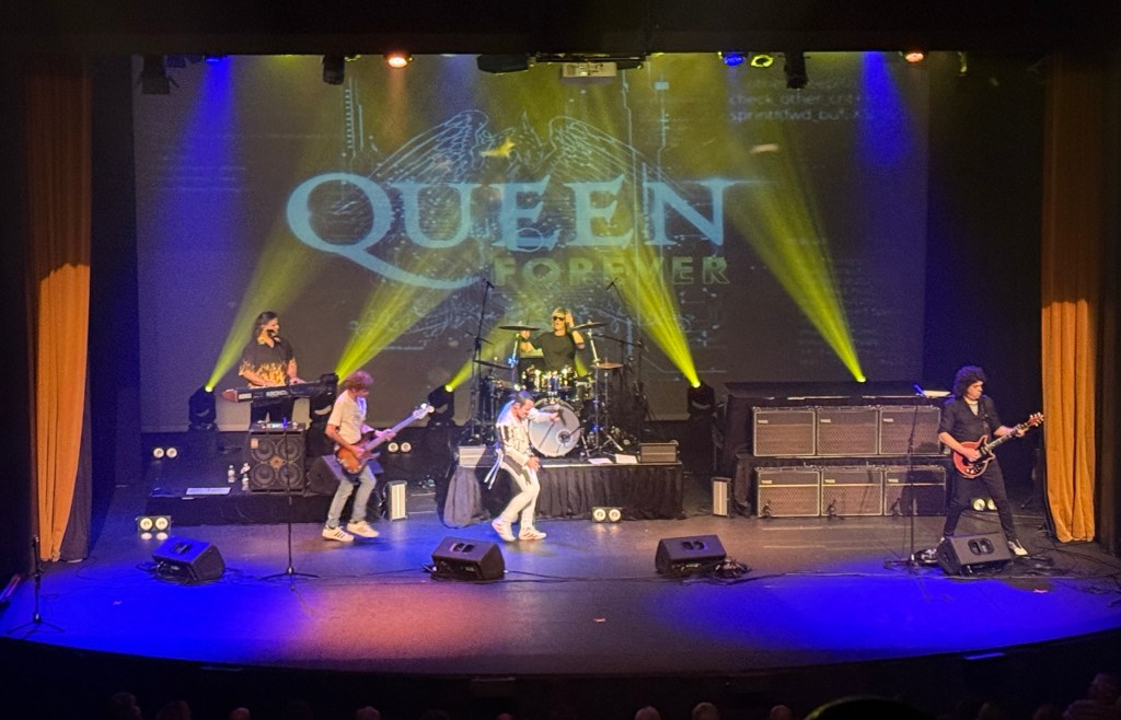
It wasn’t country. The tribute band ‘Queen Forever’ was in town and we just had to catch the ‘stand in’ Freddie Mercury, Brian May and the other chaps put on a concert. As did about 500 other Tamworthians, some of whom didn’t return after the interval!
It started off heavy metal (not really our scene) but finished off more like pop or arena rock music with the classics ‘Somebody to Love’, ‘We Will Rock You’ and ‘We are the Champions’.
Here is a video to catch some of the action!
Allthego enjoyed the show, Homealone more the last half with the softer rock classics. It was still all very loud!
Tamworth
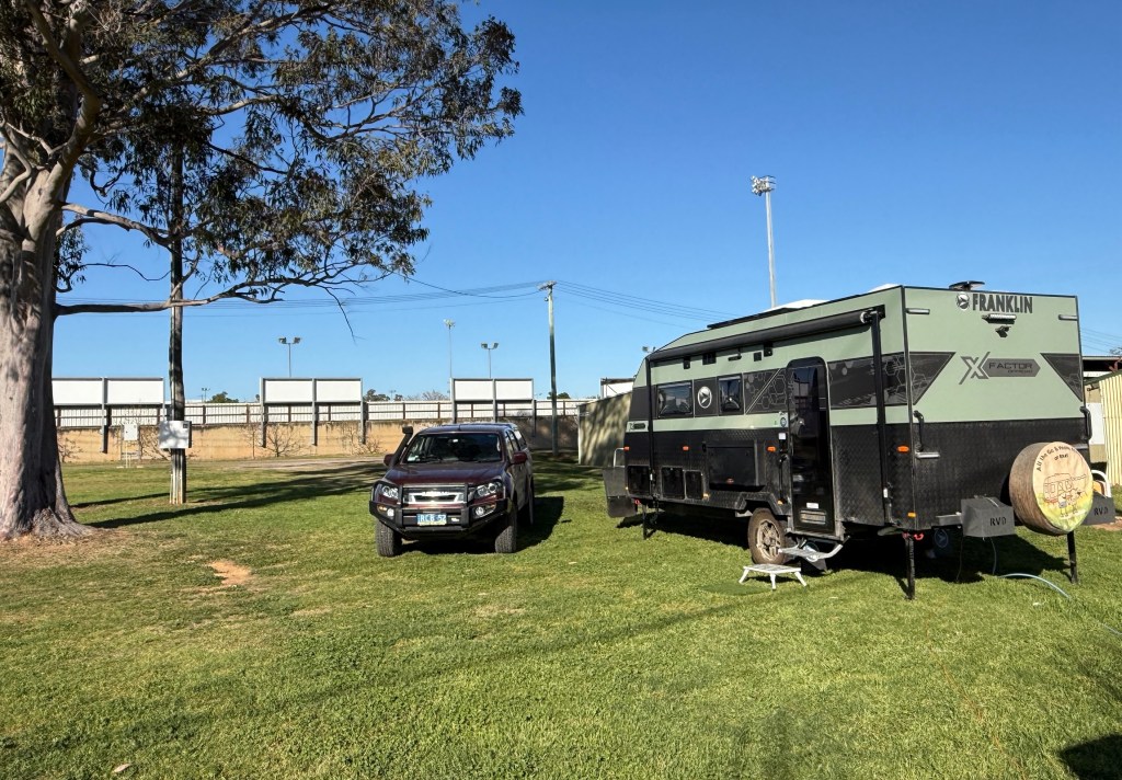
Have made it to Tamworth and set up in the grounds of Paceway Tamworth, the old Tamworth Showgrounds. Some of the old showground infrastructure has been repurposed as storage and business areas. The camping grounds are well looked after and spacious.
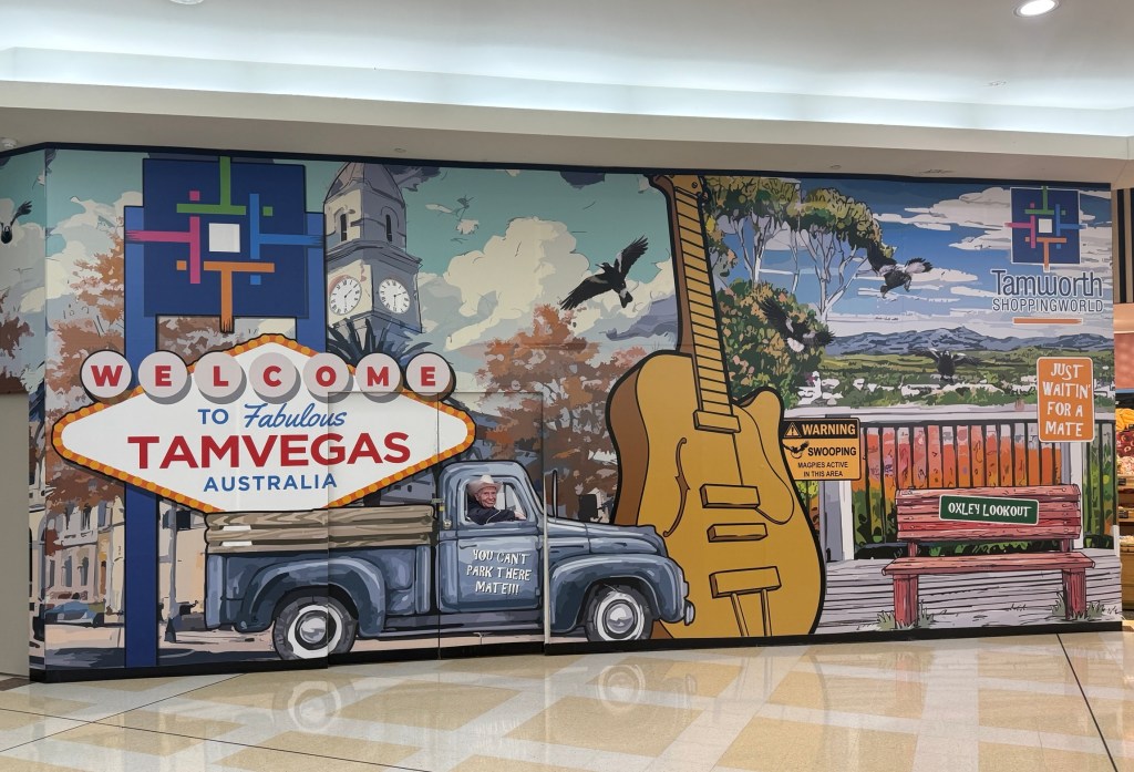
We arrived late in the day and had to do a little shopping. The country music scene hits you pretty quickly in the nearby shops, a Tamvegas mural next to Woolies sets the vib for our three night stay.
Next morning we decided to have an intake of country music history and memorabilia. It is something like 25 years since we came here for the Tamworth Country Music Awards week, details of that visit are now a bit dim.
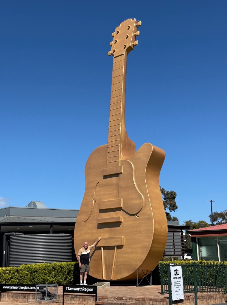
So, we started off at the Information Centre. This is the home of the Big Guitar, the wax museum and an extensive collection of guitars and photographs.
The wax museum is a roll call of icons starting from the early days of Australian Country music, like the 1920s thereabouts.
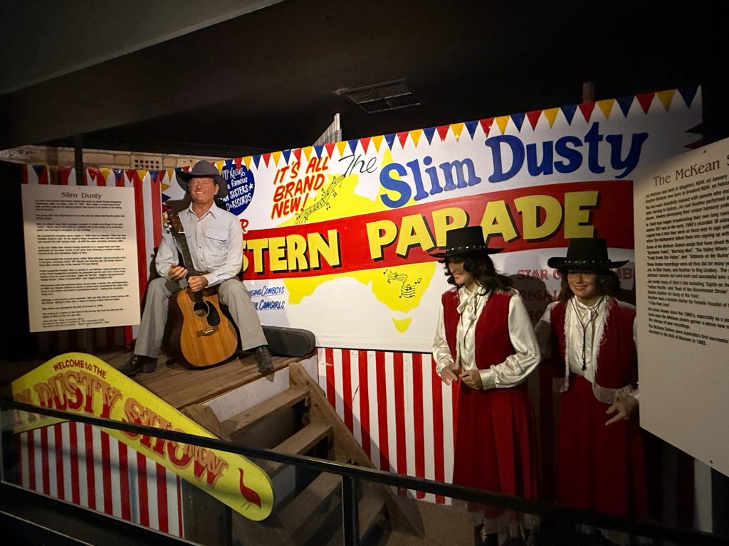
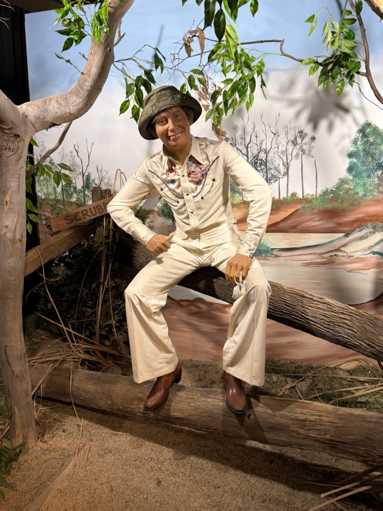
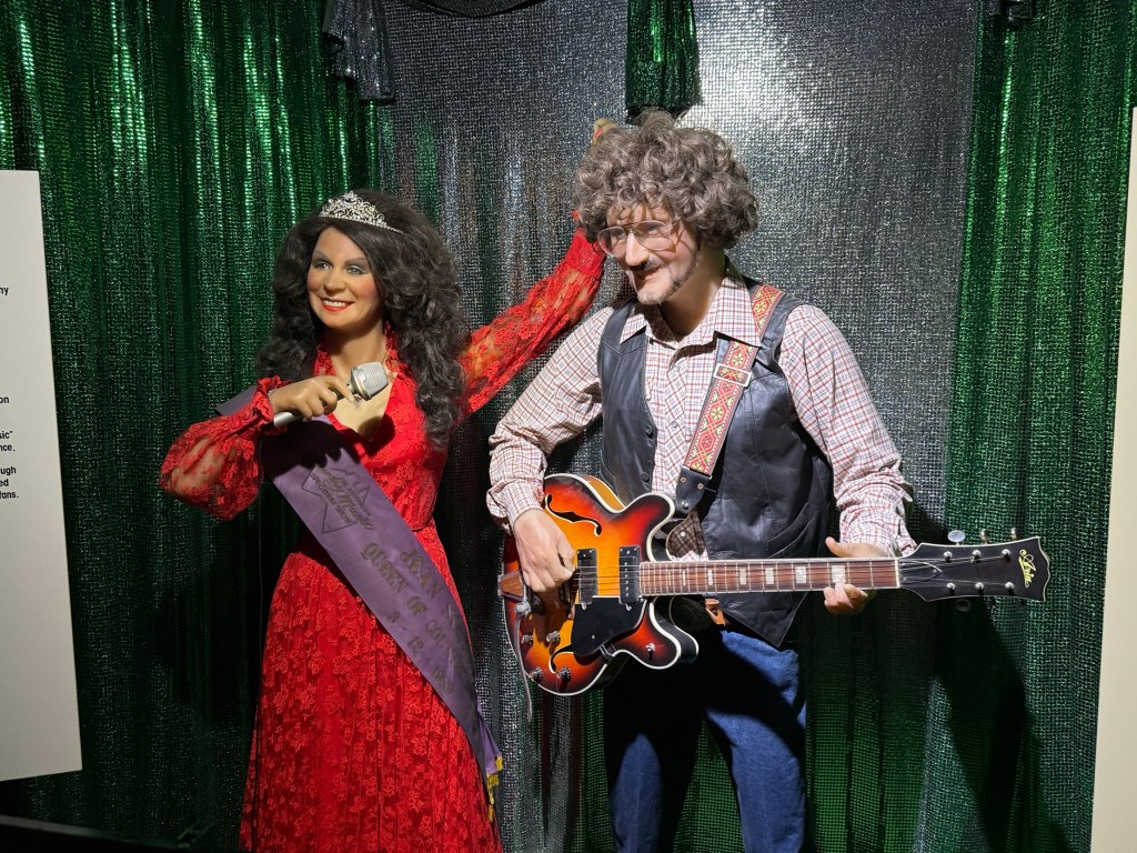
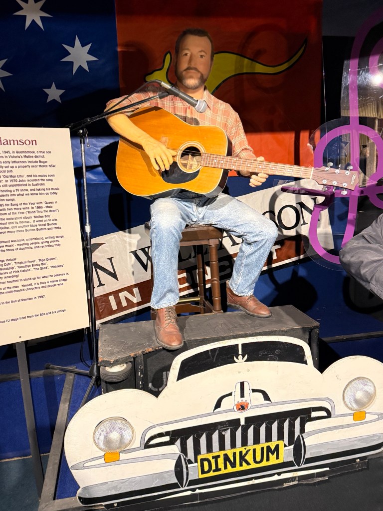
The displays though seem to freeze in the early 2000s with artists like John Williamson, Troy Cassar- Daley and Becky Cole. The last two still regularly perform. John Williamson has recently attempted to hang up his boots.
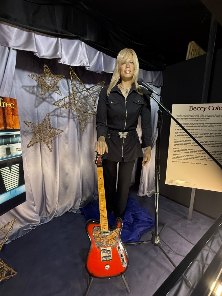
I remember seeing a younger Becky Cole perform when we here way back when.
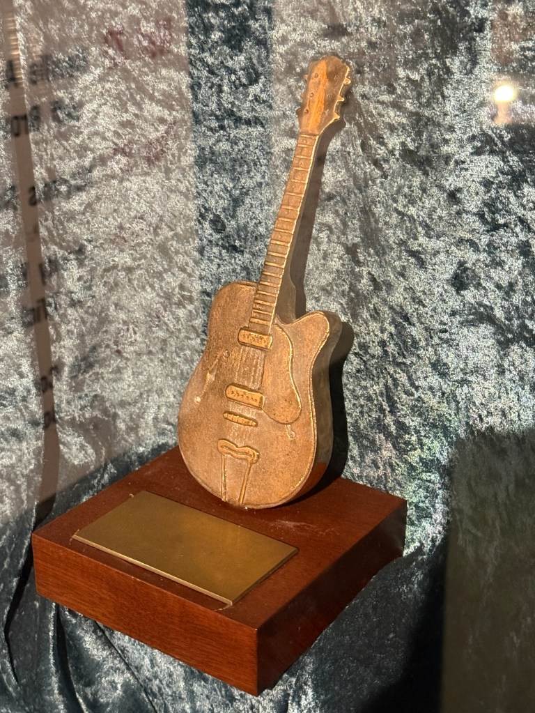
The guitars are originals and replicas of numerous artists.
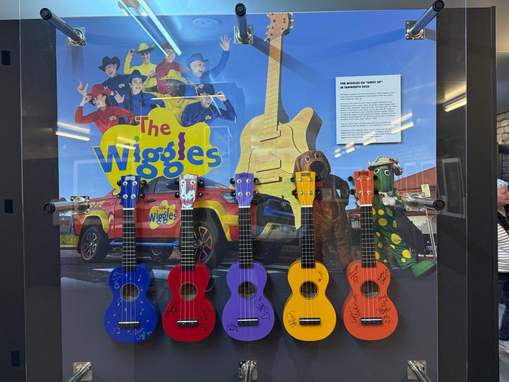
A number are also from overseas artists, including the Beatles. Very well done and the photographs a standout.
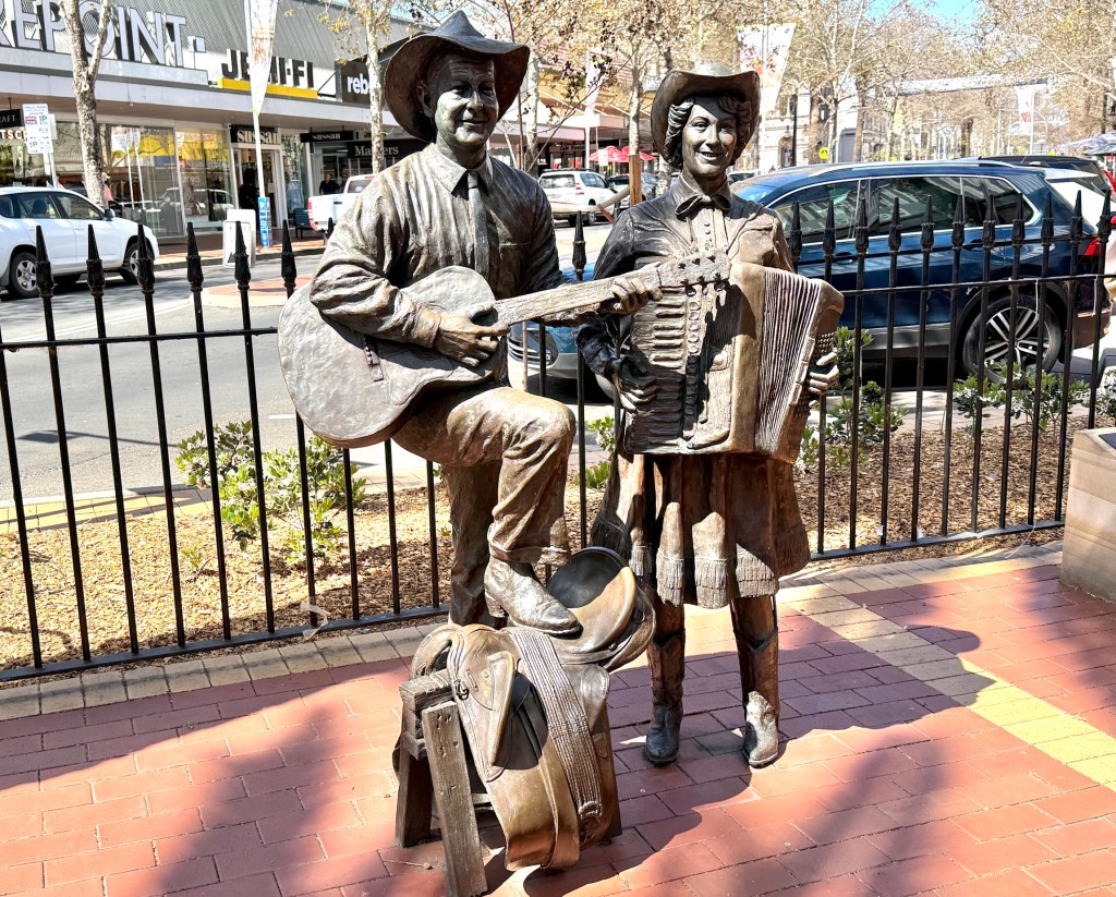
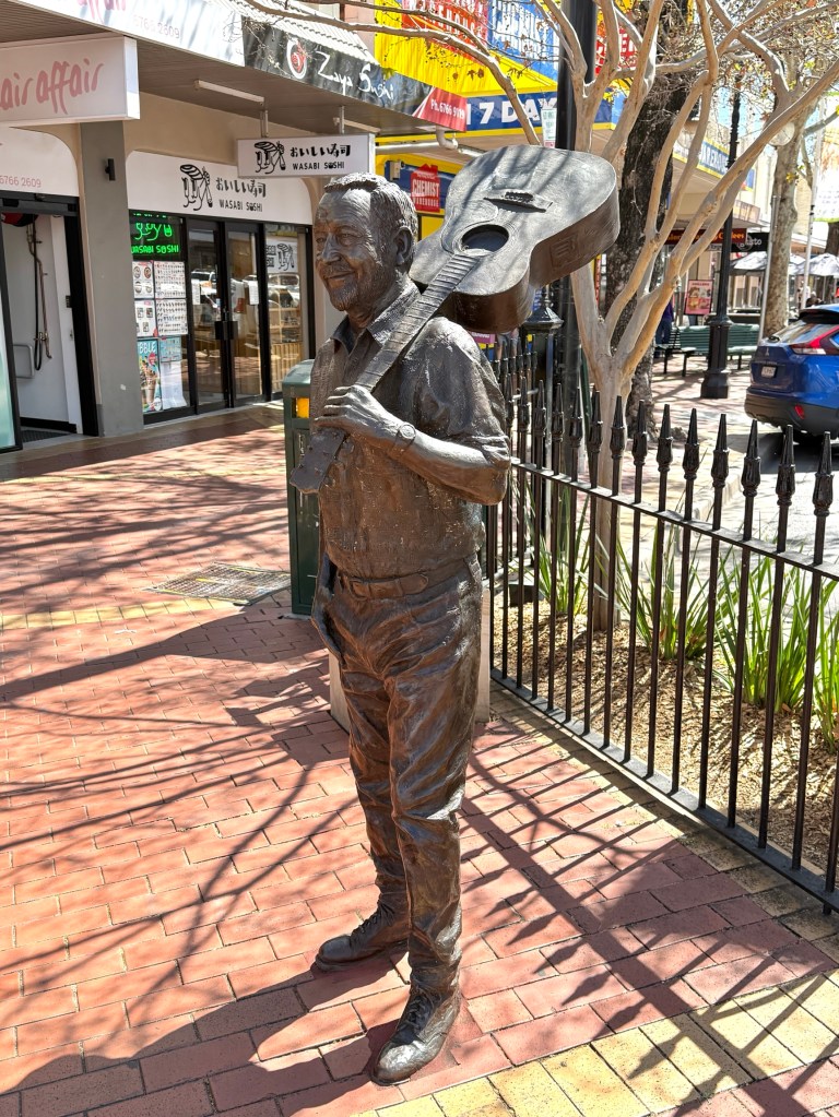
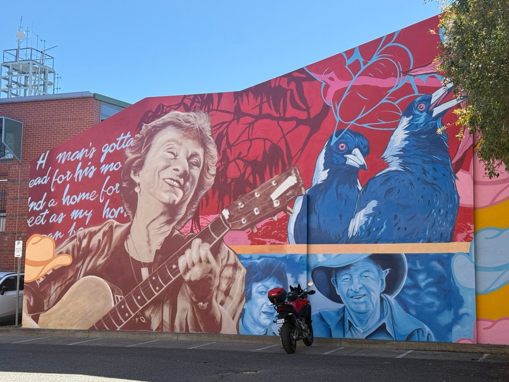
From the Information Centre we moved onto Tamworth’s main CBD street, Peel Street, and tracked down the brass (?) street sculptures of some of the country music icons.
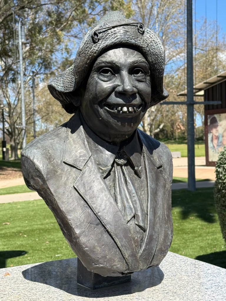
The row of brass head sculptures, mostly of the same characters in the wax museum, in Bi Centennial Park was the next stop off. Very good setting for these works, complemented with a convenience block mural.
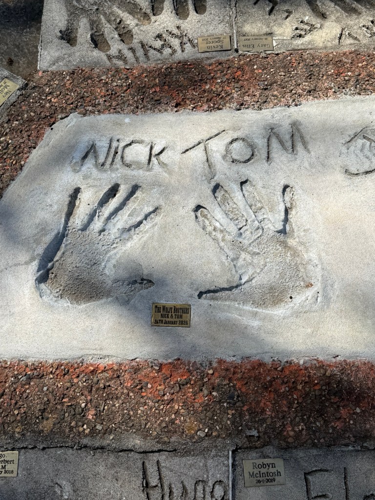
The small park containing a display of numerous artists hand prints in cement along with deteriorating name plates was less than exciting. Needs a little TLC.
It does strike you that the street art and the houses of memorabilia are frozen at about the year 2002! A generation ago, and many of the displays are of those from times well before then. Maybe an update of the last 25 years is needed to keep the vib going strong?
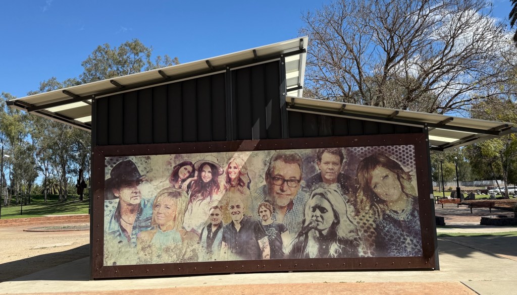
It was a very full morning of wandering around and we got back to the van for a late lunch and feet up in the sun. We have had great weather so far on this trip, clear sunny days. Chilly nights.
More waterfalls and Tamworth beckons
We are staying a night in Apsley Falls NP before heading for Tamworth. We spent a few hours here the day before checking out the campsites and a view of the falls from near the carpark.
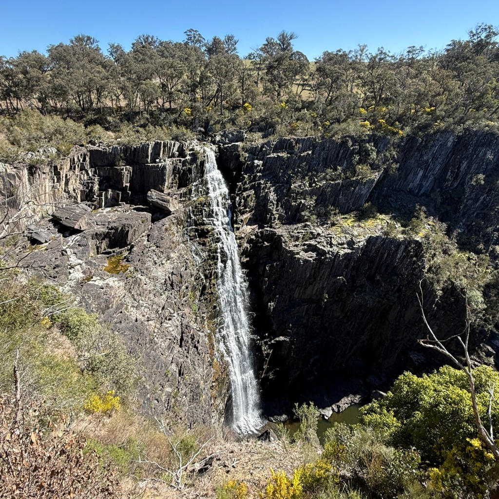
Allthego had also completed the 2.5 km return walk around the rim of the gorge. The Apsley Falls consist of a main upper fall cascading from the rim and an equally impressive lower fall further down the gorge.
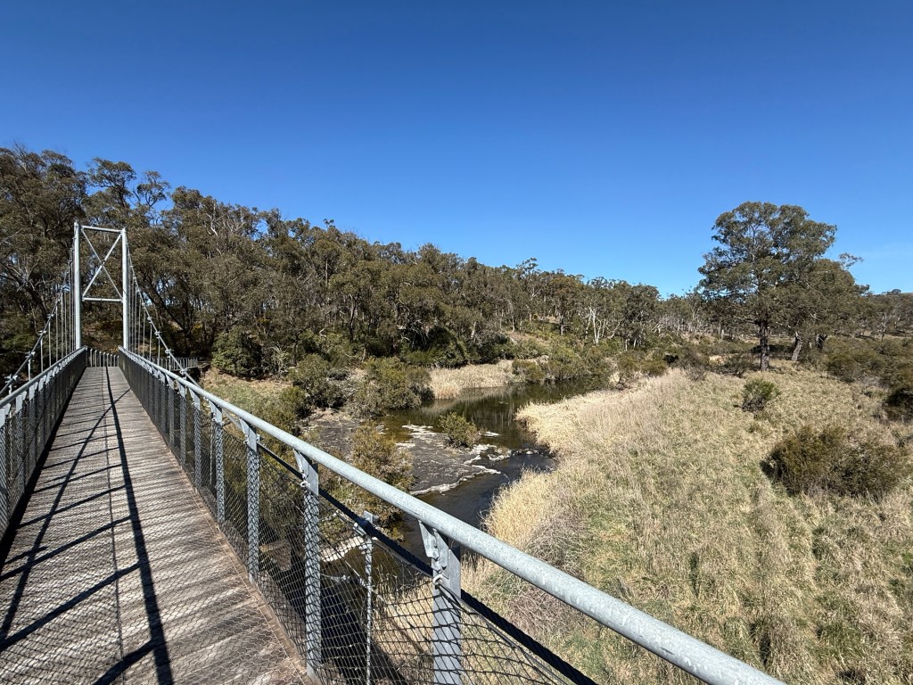
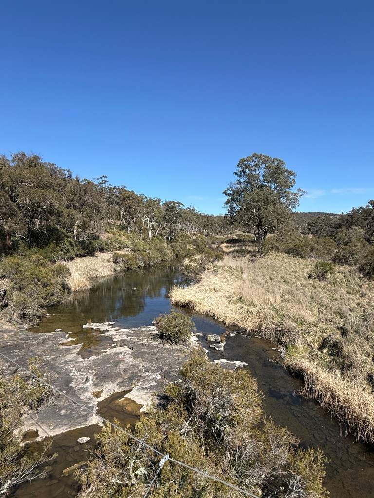
The rim walk crosses the river via a suspension bridge above the top falls in a pretty setting, the calm waters unaware of the deep plunge ahead of them.
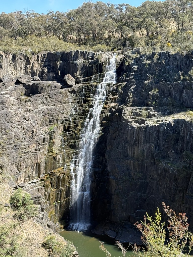
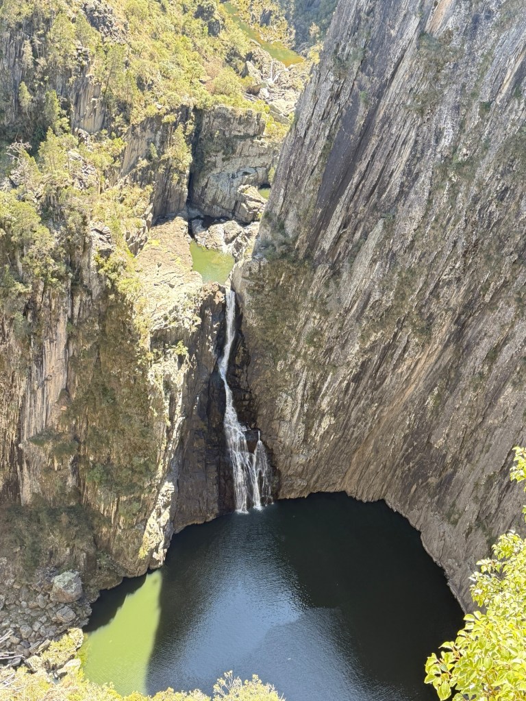
It would seem that the best time to do the walk, at least in early Spring, is mid morning when the sun shines directly onto the falls and the deep pools below them.
After setting up camp we took off in the truck for about 20km further east to the Tia Falls NP. This is another small park, like Apsley, centred on the gorge system down a 5km good gravel track off the highway through grazing pasture.
The falls are a 1.5 km return walk from the car park and campground, where Homealone had lurked in the sunshine.
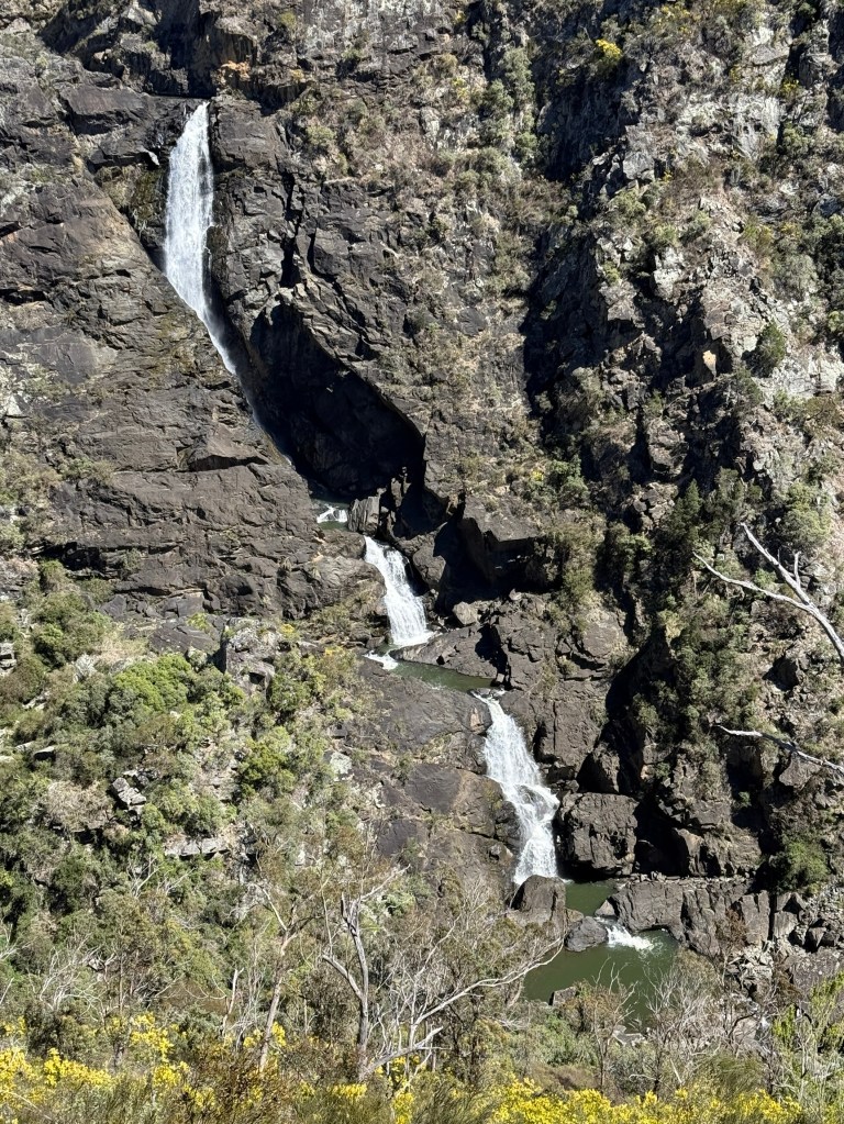
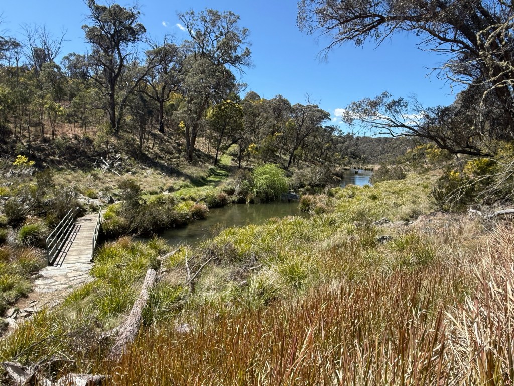
Some great views from the final lookout. At the campground there is a longer walk. It meanders further up the gorge and across a small bridge near the top of the Tia Falls to the other side of the gorge. Allthego went the short distance to the bridge. Like at Apsley Falls, the waters were very calm and unaware of the deep plunge not far ahead of them!
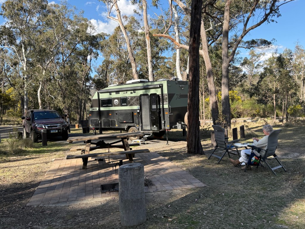
Back in the camp at Apsley Falls we had a late lunch snack before feet up time in the sunshine.
As the afternoon wore on it started to chill and we were in for the coldest night so far, it went down to around 3°C early the next morning.
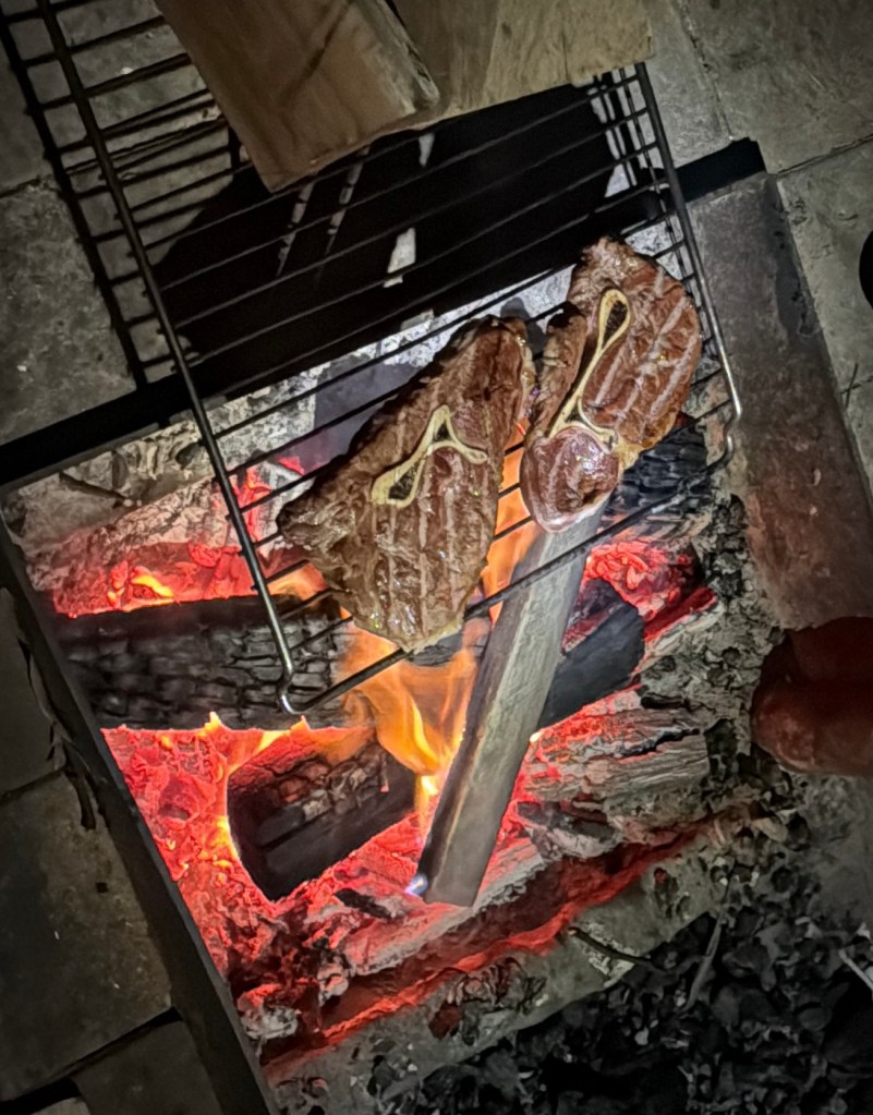
We got a good fire going for the evening with some steak grilled over the open flames, hard to beat!
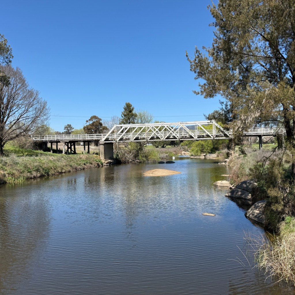
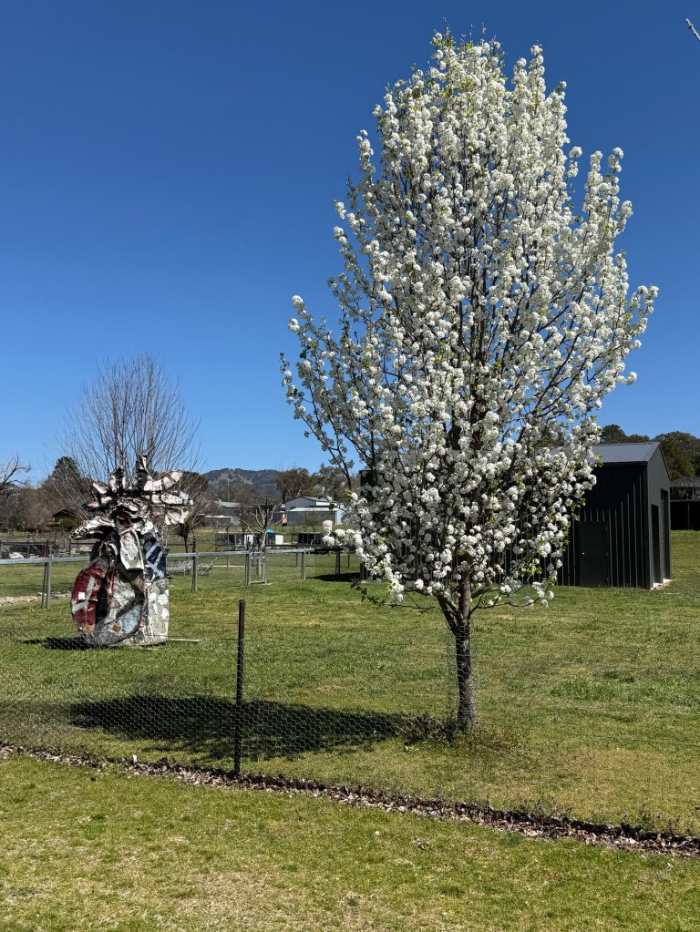
The next day we got away mid morning back through Walcha to the New England Hwy at Bendemeer, on the MacDonald River. Apart from the old hotel, a small convenience store and a neat camping ground overlooking the river there is not a lot here. Good place for an overnighter on the way south.
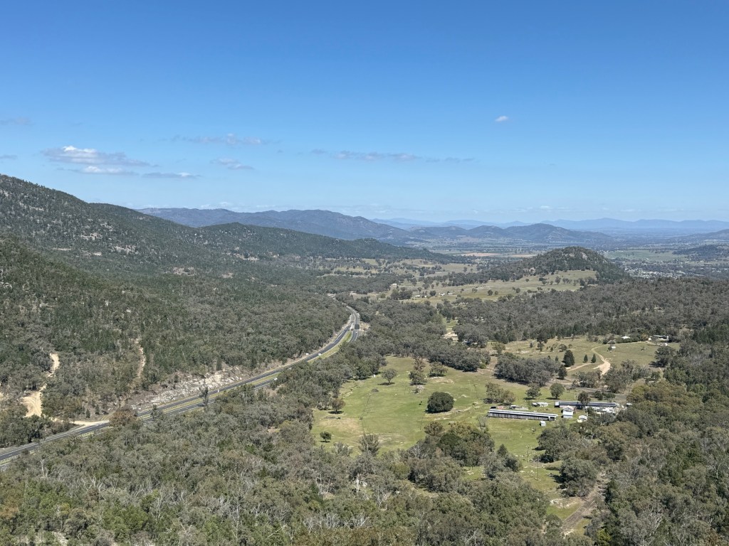
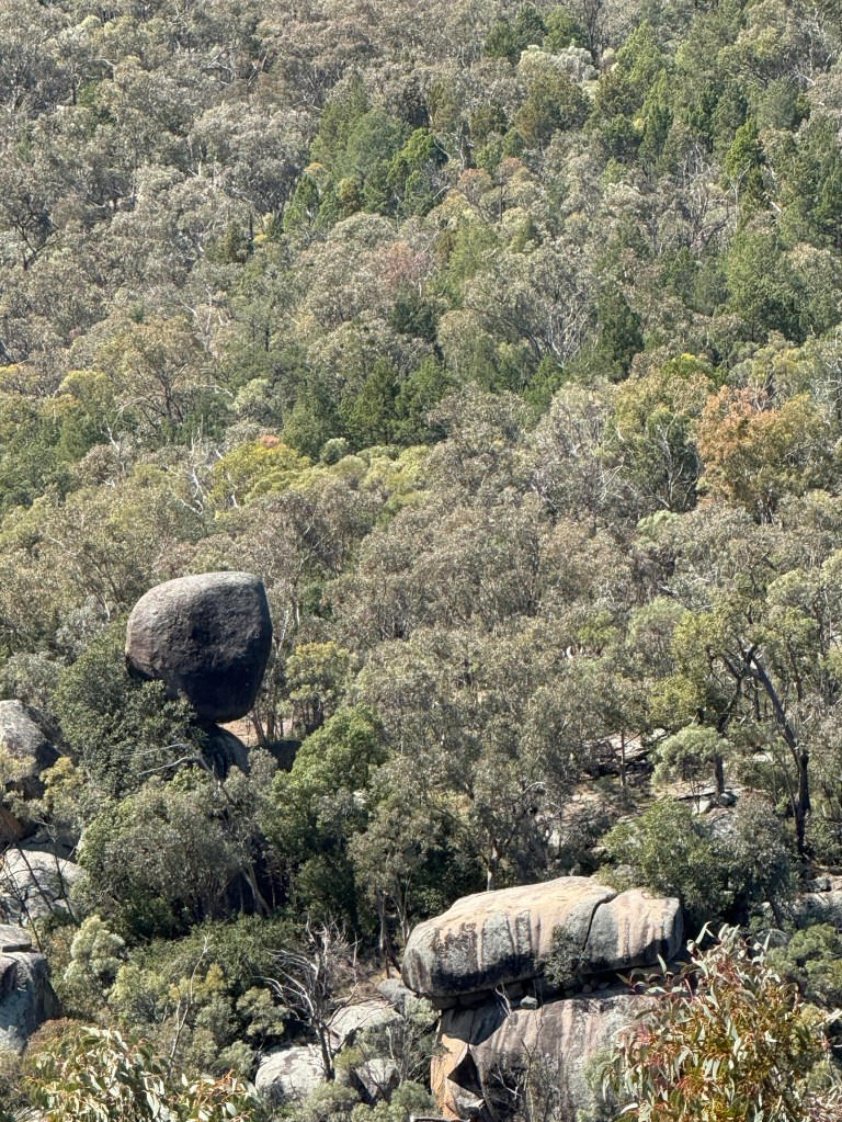
Back on the road we soon came to the steep descent down the Moonbi Ranges to the outskirts of the Tamworth area and somewhat warmer evenings and nights. The diesel heater has had some good workouts on this trip!
Walcha
Walcha is a rural centre along the Oxley Hwy that connects Tamworth and towns further west with Port Macquarie on the coast. The country around Walcha is quite spectacular with rolling hills, gorges and waterfalls.
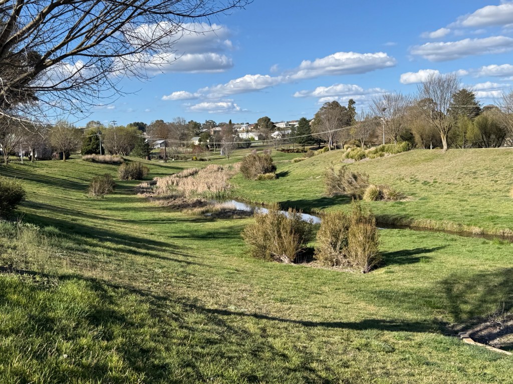
We are in town for a couple of nights to get some washing done before spending a night in the National Park.
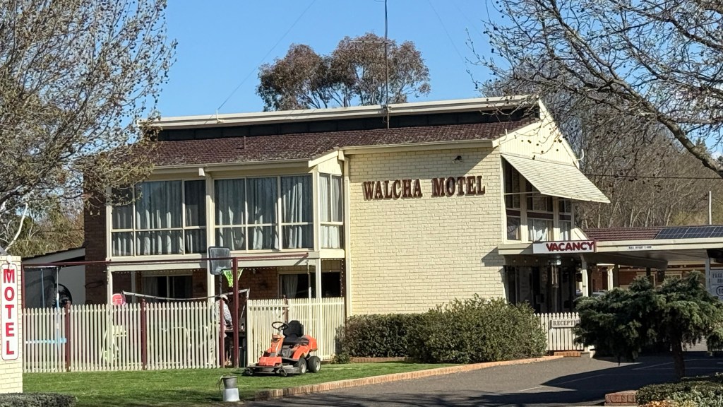
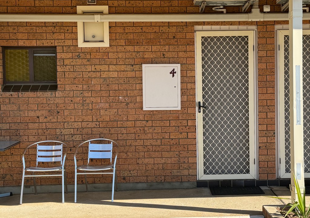
There is another important reason for being here. It is to visit the Walcha Motel where we stayed 50 years ago and see if we can check out the room in which we stayed.
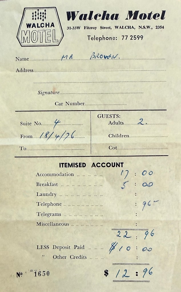
Allthego has kept the original room receipt to show the front desk, maybe we could have the same room rate? $17 a night with breakfast at $2.50 each
Allthego fronted up to the desk with Homealone lurking in the background and said:
‘We have a small problem, we were here a little while back and left something in the room and wondering whether we could look in and see if its still there?’
The lady said ‘ What is it?’ Allthego stumbled a bit and sort of avoided giving an answer. She said ‘No’.
Allthego pulled out the docket and came clean on being here 50 years ago. She was a little stunned but became quite talkative and informative about the present day motel.
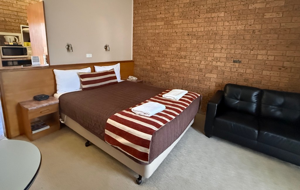

Happy to show us the room. We didn’t recognise anything, must have had a refurb! Certainly, didn’t have WIFI back then! Interesting experience looking back.
In the time since it seems not a lot has changed in Walcha.
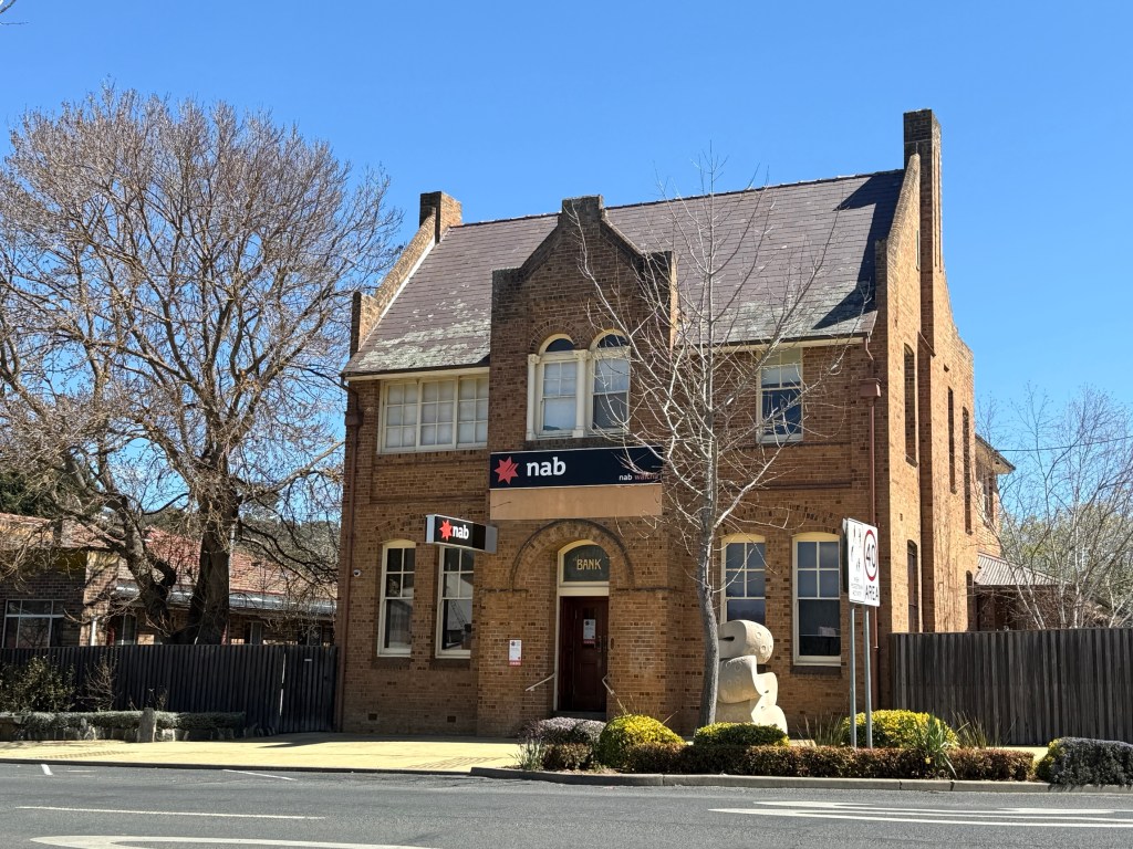
A few neat old buildings remain, the old brick NAB branch with the banker’s residence on the second floor.
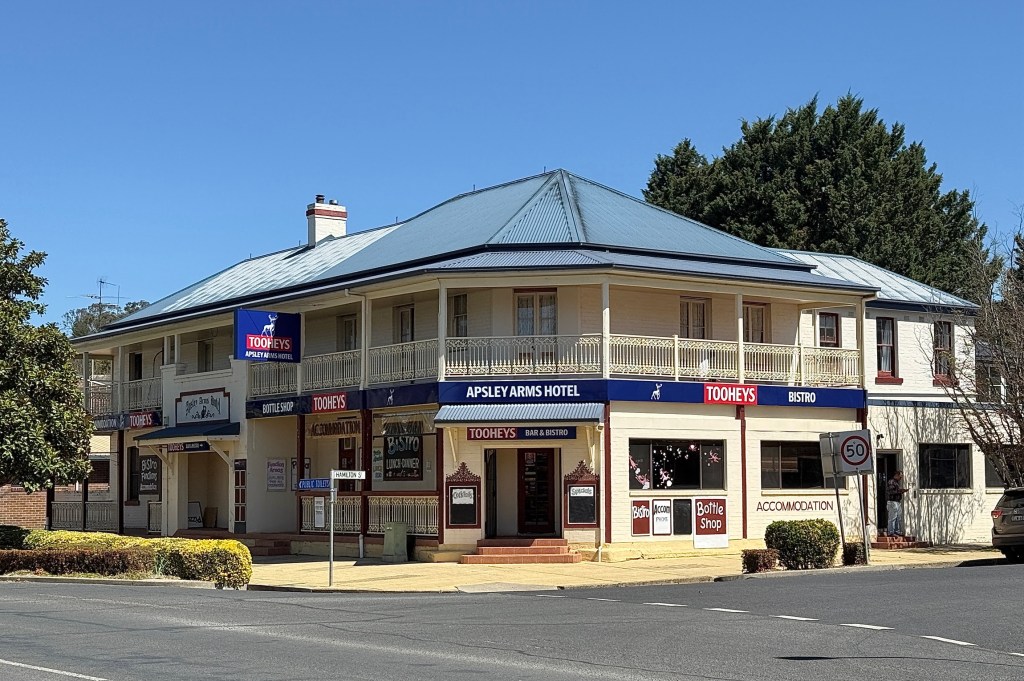
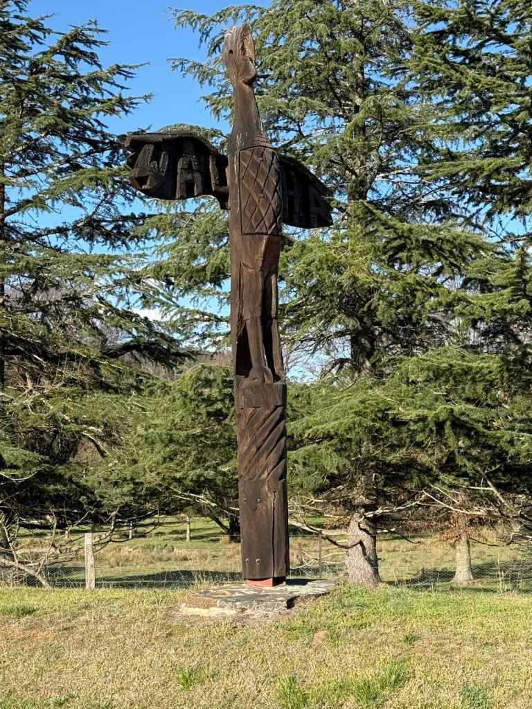
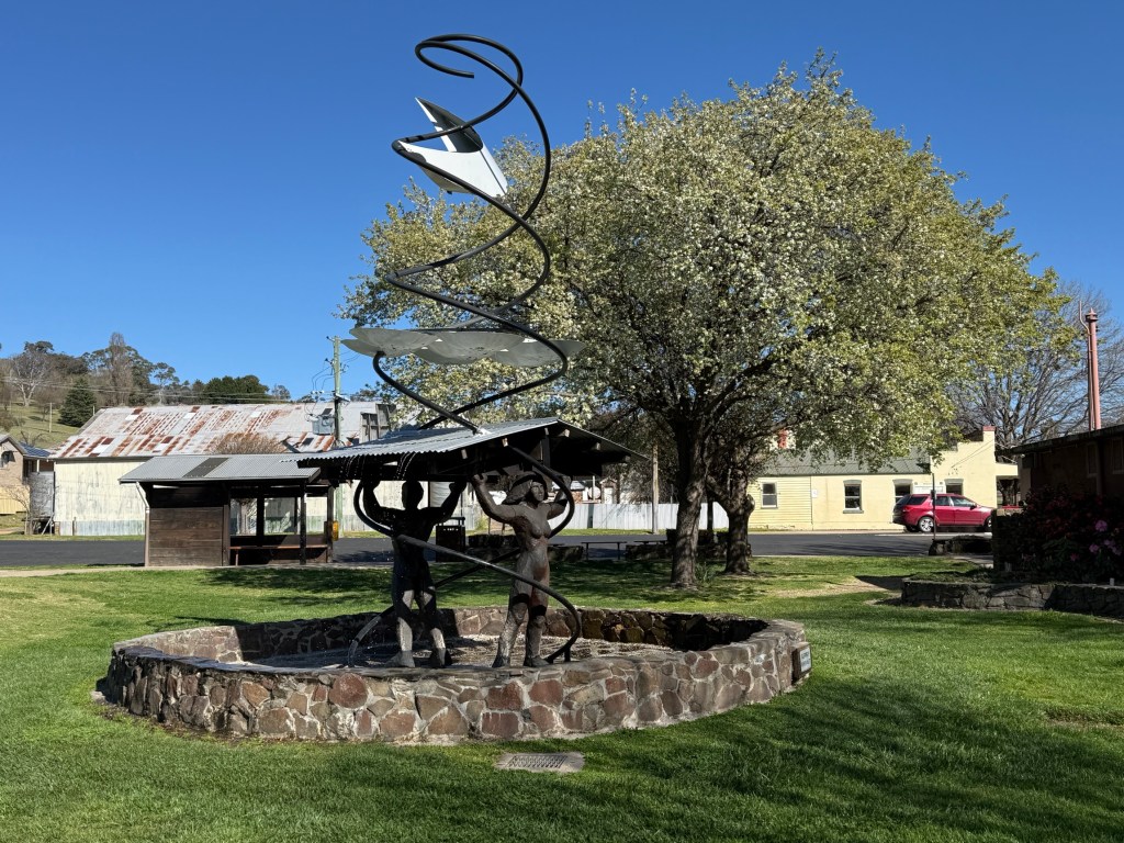
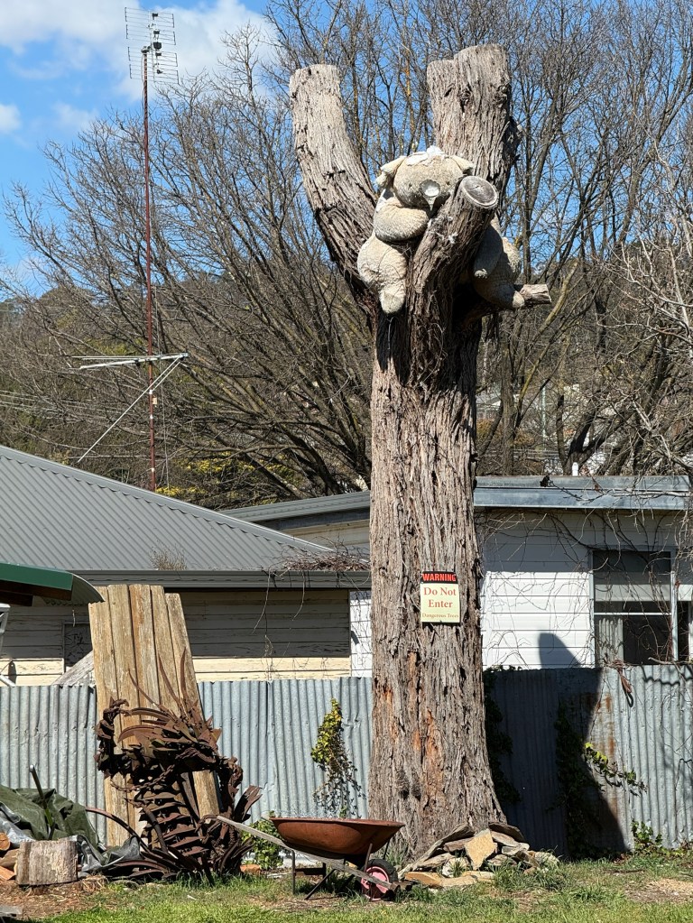
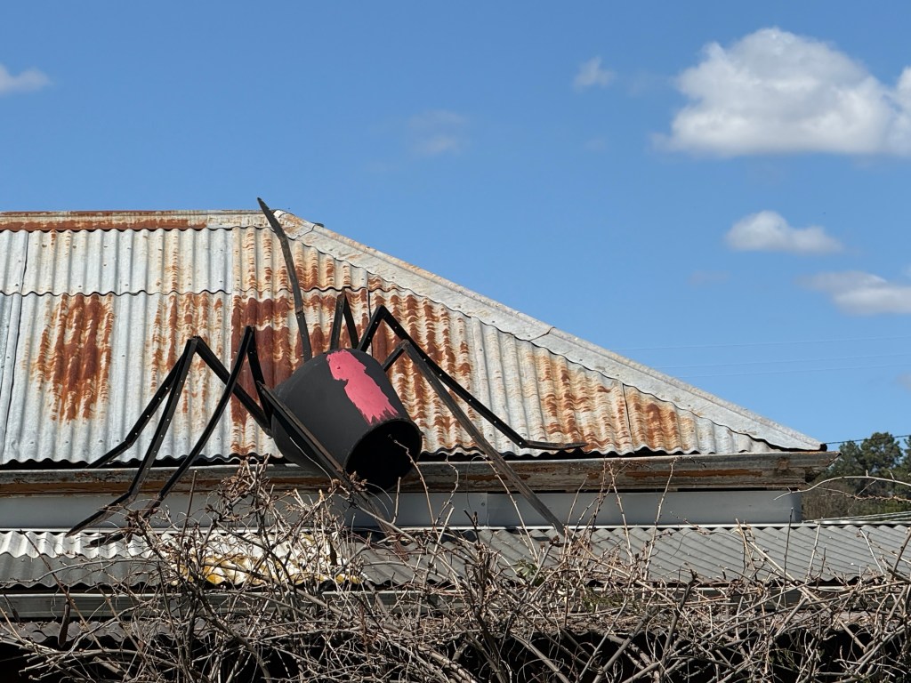
And a whole lot of sculptures have popped up to see and wonder why!
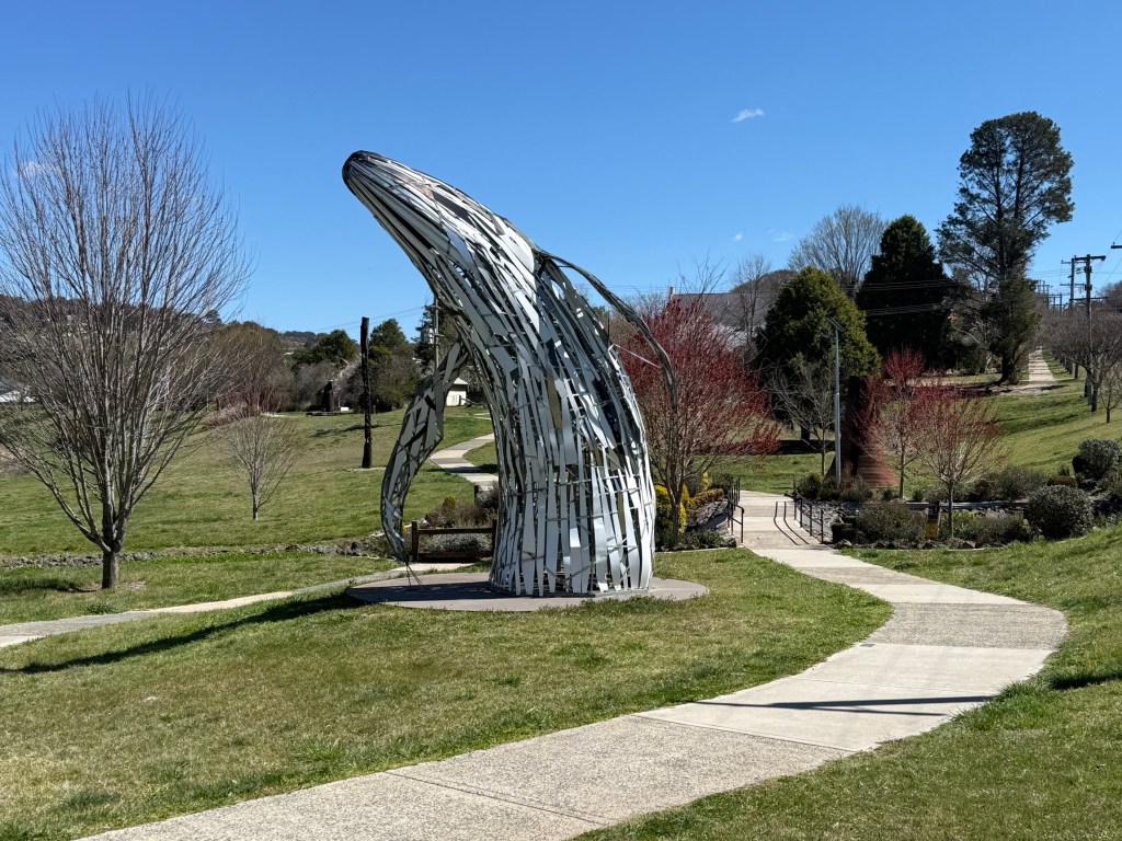
We had a look around at some of them including the large wooden ones that mark the compass point entrances into the town.
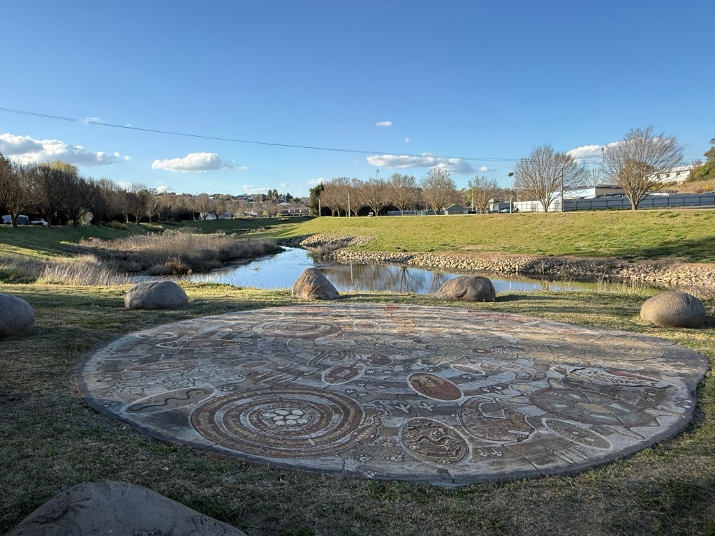
There is also a Rainbow Serpent ground mural overlooking the deep pool in the river where the serpent resides.
Allthego had to have a go at another pie in a hotel beer garden surrounded by ornate sculptures.
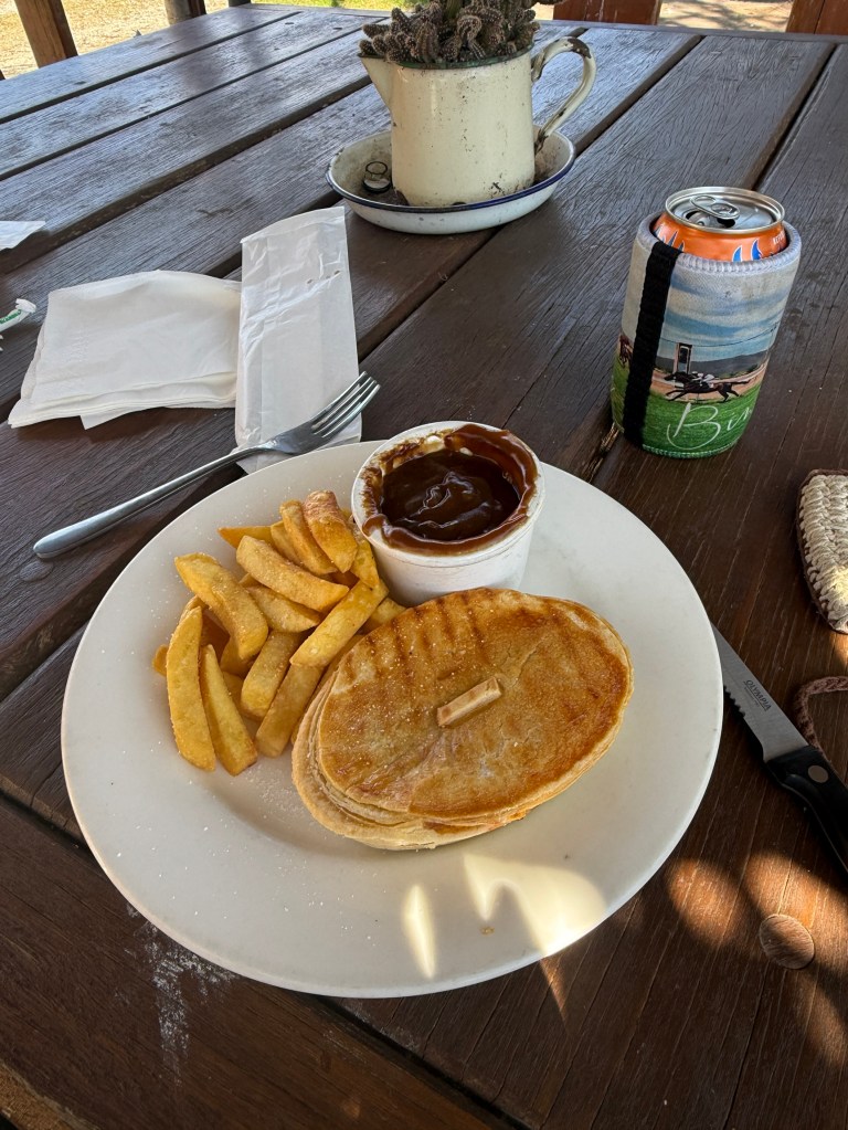
Unusual pie in that it was oval shaped, unremarkable. Homealone skipped the pie and had fish n chips, more chips! The sculptures were outstanding.
On the outskirts of town is the old Langford Mansion carefully restored by its current owners. It was built in 1903 on the spot where John Oxley camped in 1818 when on his surveying expedition in central NSW.
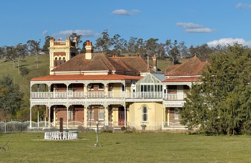
Constructed as a double story red brick building with 22 rooms and a 5 story central tower overlooking the gardens and driveway. Great view from the road.
In the day and a half we have been here we popped down to the Apsley Falls to do the short falls walk and select a campsite. More of that next time.
Uralla
Uralla could be called ‘Thunderbolt’, the old bushranger is a very present presence in the town. The statue of him on a rearing horse outside the Information Centre welcomes you to the town.
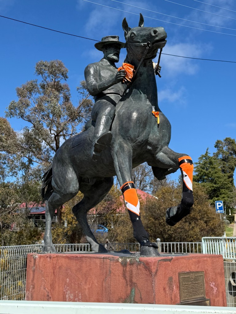
His ghost’s presence at the big pile of graffitied granite rocks, beside the highway south of the town, could be imagined if you were looking for a story!
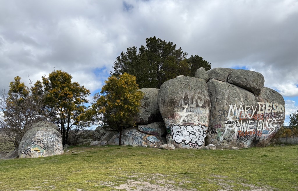
Thunderbolt Rock is not that far from the remnants of the old hotel he frequented and Kentucky Creek where he was shot in 1870.
And he is said to be buried in the towns cemetery near the entrance gate. Officially, his remains were satisfactorily identified but some have suggested it may be his brother. Wickedly, some suggest the grave is actually empty!
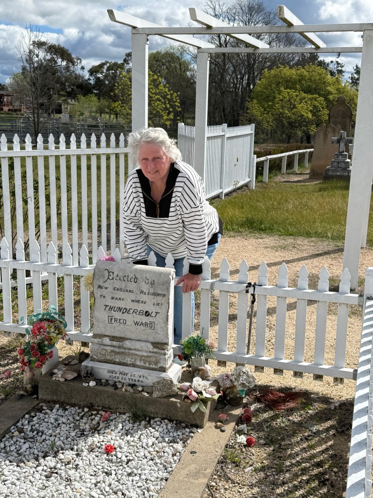
Now, we have a similarly posed photo to this taken 50 years ago. The grave hasn’t changed much! Can’t lay my hands on it now but will be adding it to the blog when we return home.
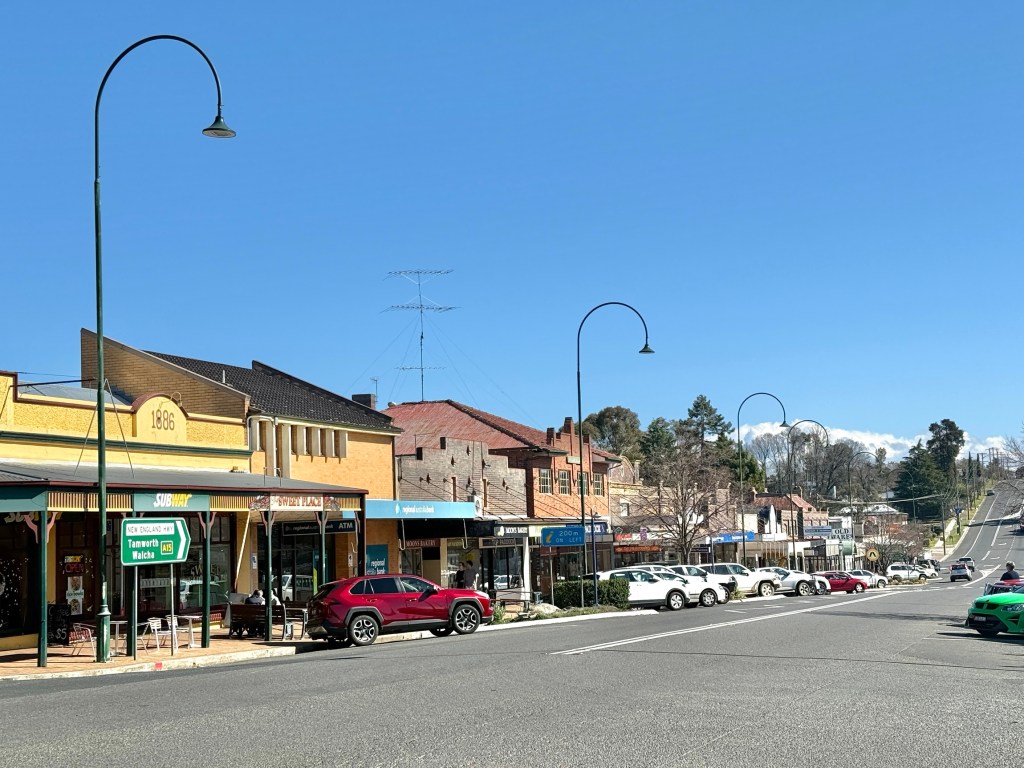
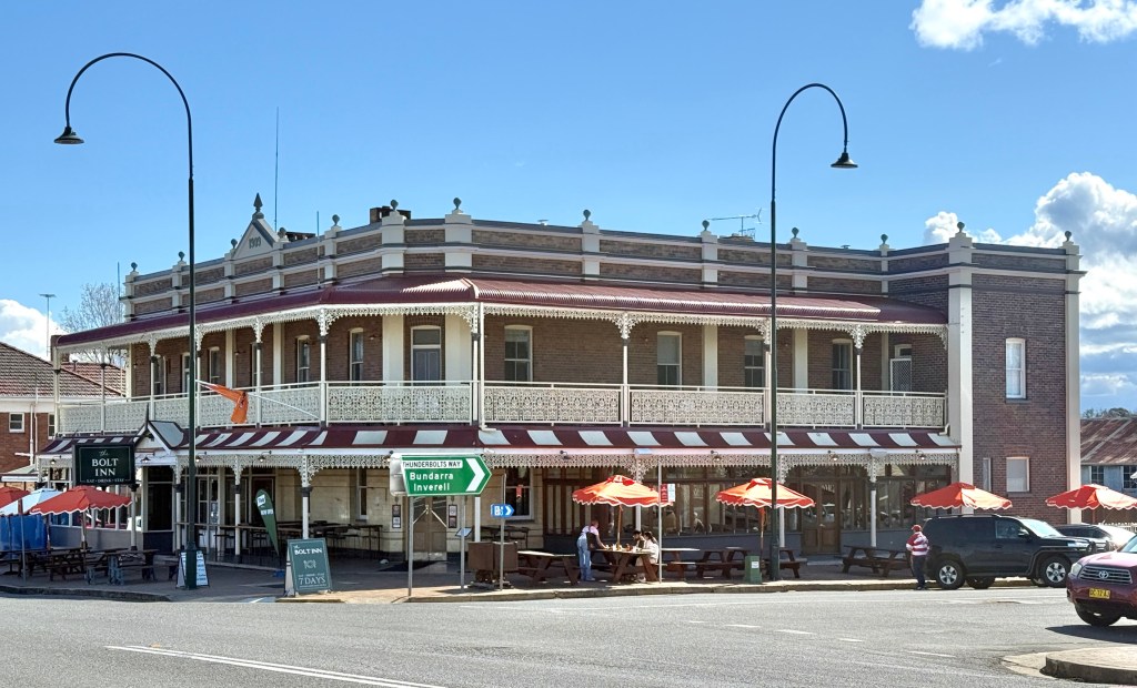
The business area is a collection of generally irregular and stand alone buildings. Makes it an attractive sight. The town also seems busy, it is only 20 km from Armidale. Maybe a suburb of commuters in the making with cheaper housing opportunities.
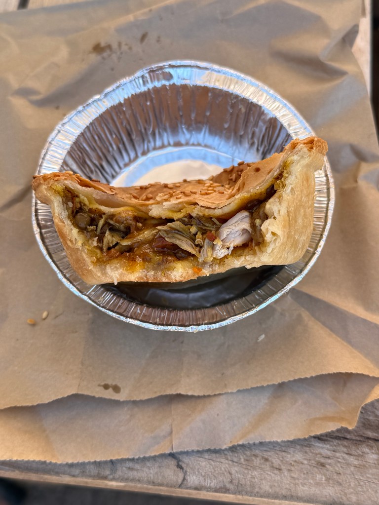
When in Armidale it was recommended that we try a pie from the ‘Pie Mechanic’, so we did. Allthego went for a Moroccan and Homealone a plain beef one. Hers was a bit sloppy, but the Moroccan was a great flavour. Pastry ok too! But we are currently sticking with that Guyra pie as the best so far, closely followed by the bacon and cheese one in Armidale.
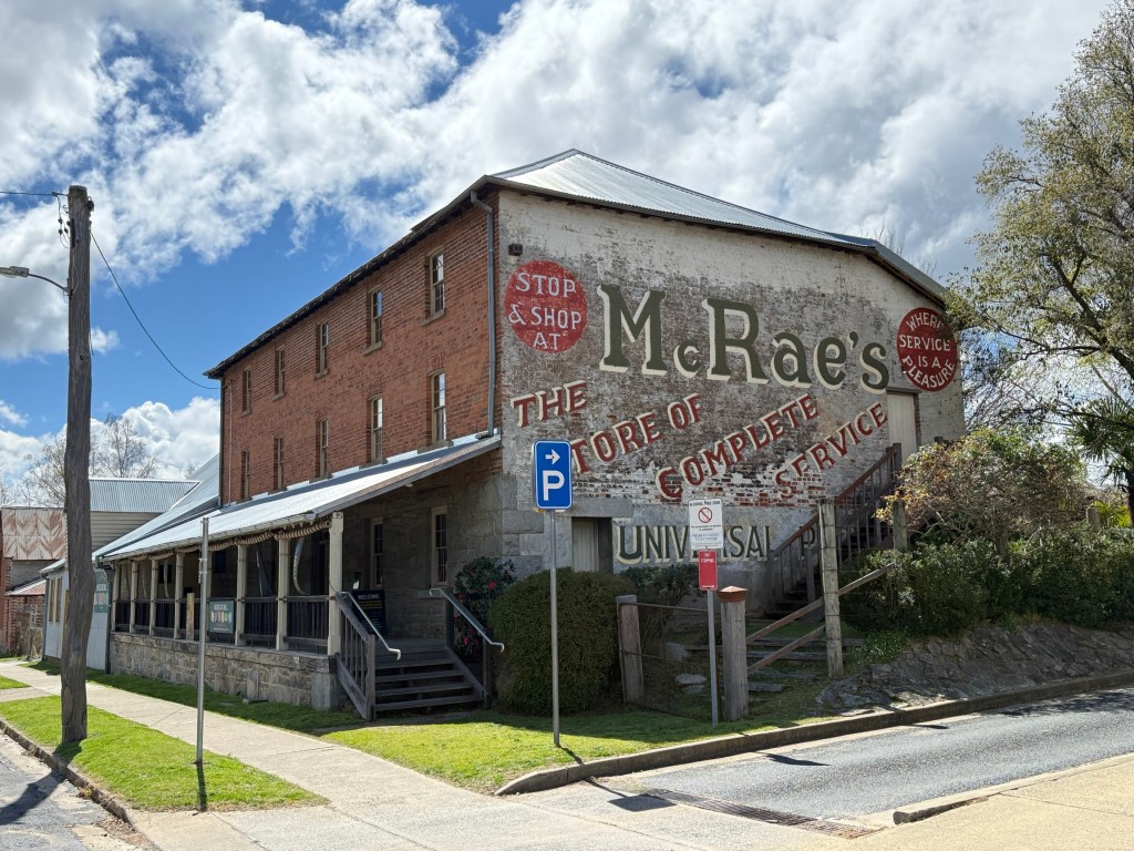
Built in 1870 (the year of Thunderbolt’s death) McCrossin’s Flour Mill has been restored and repurposed as a local museum.
It is very focussed on guess who? Thunderbolt. It also has a range of other historical offerings to look at, including a history of the Chinese in the gold diggings and olden days agricultural equipment.
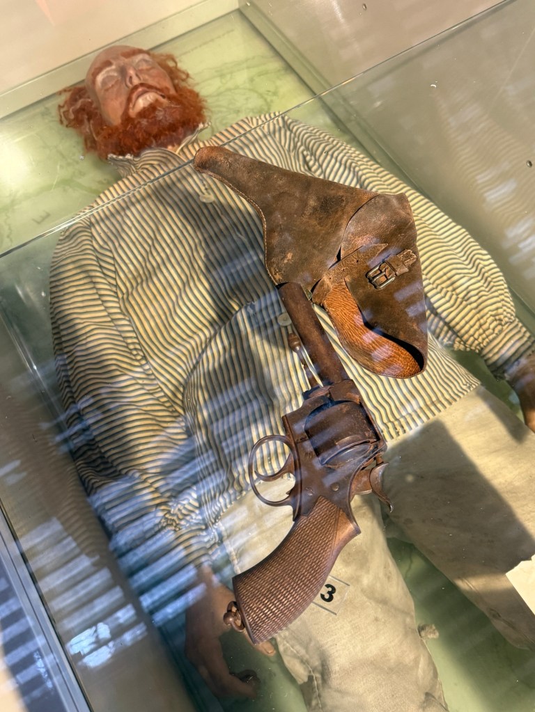
There is a stuffed effigy of Thunderbolt in a glass case, it is not a mummy.
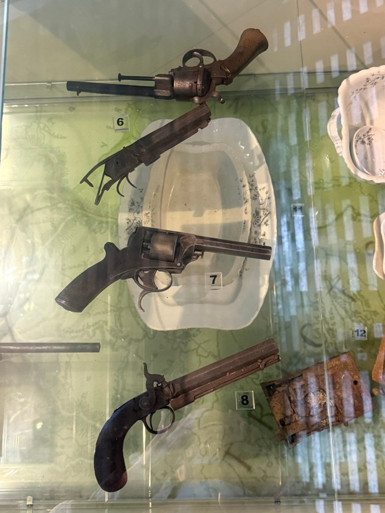
Some guns that are claimed to have been used by him in a number of the hold-ups.
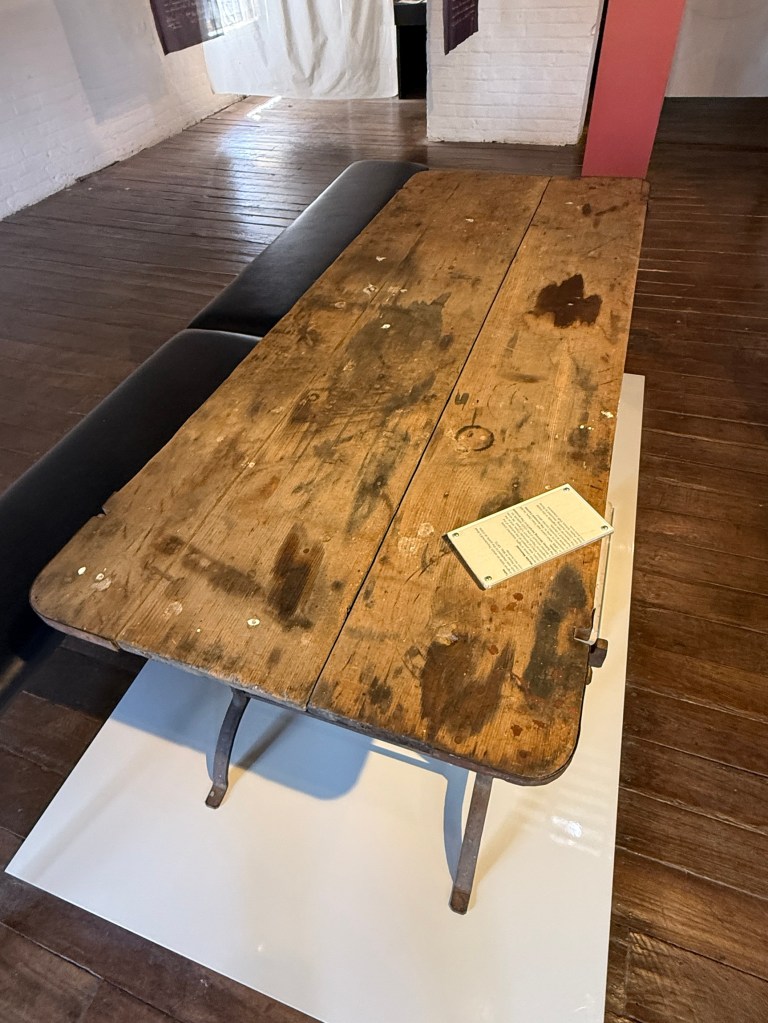
And an old table on which his body is said to have been laid, some stains on it…..maybe blood?
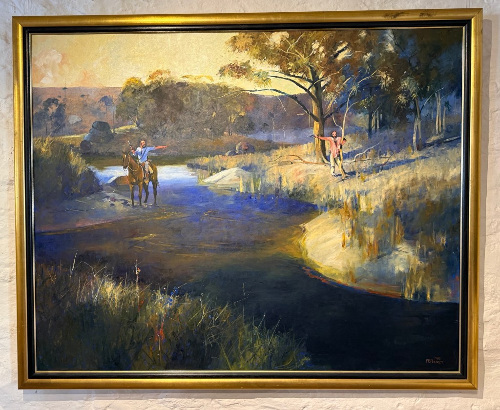
The best part though is when you enter the museum, the entry area is devoted to a series of paintings by Phillip Pomroy, originally from Wingham and later Taree. The nine paintings, ‘The Death of Thunderbolt’, chronicle the events leading up to Thunderbolt’s death, shot by Constable Walker.
We escaped from Thunderbolt for a short time with a drive of a few kilometres to a little Anglican Church, All Saints Gostwyck at Gostwyck of course.
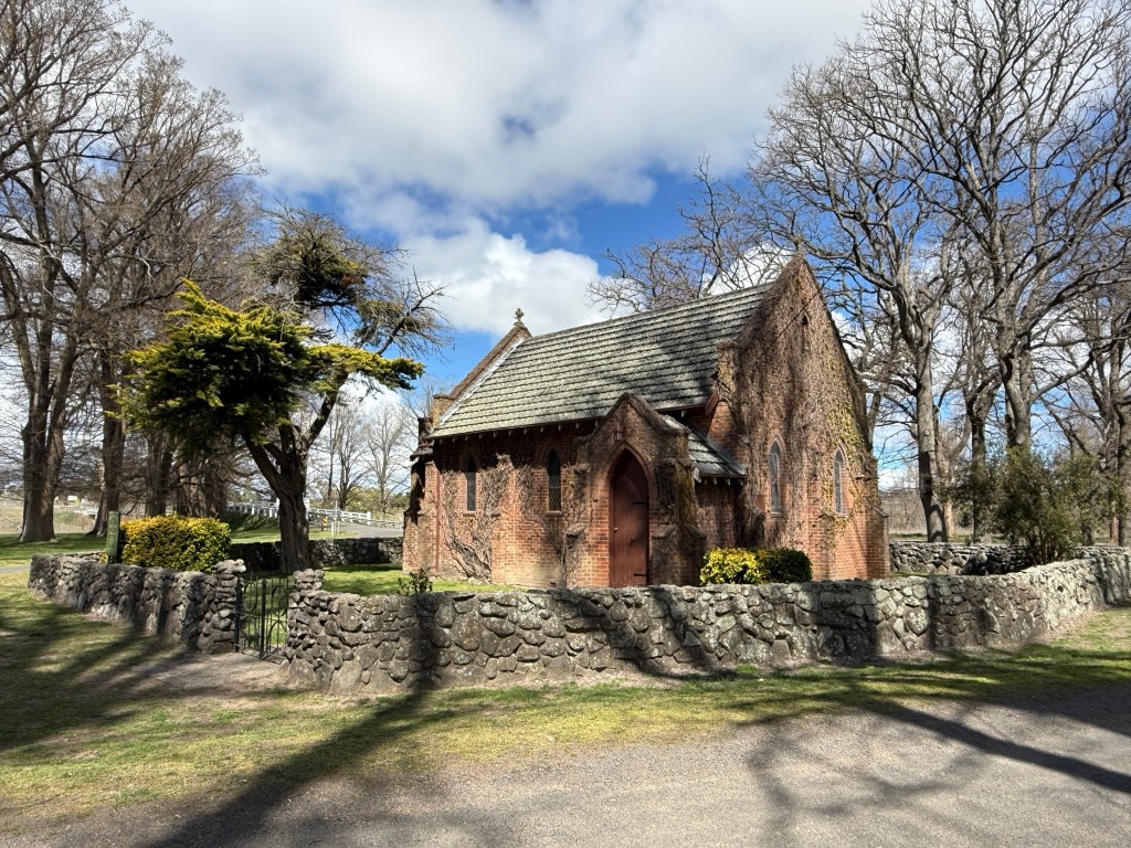
Photos of the church covered in autumn coloured vine foliage feature in promotional material for the region. I suspect we have missed the colours as the vines all look dead, maybe Spring will revive them?
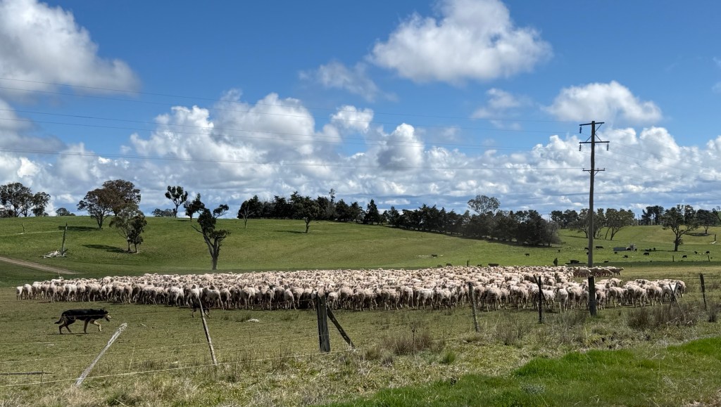
On the way back to Uralla we witnessed a couple of sheep dogs and a guy on a big tractor like vehicle rounding up a flock of sheep and moving them to a new paddock. Looked a bit like a ‘tornado’ of sheep swirling around not wanting to go where the dogs wanted them to go!
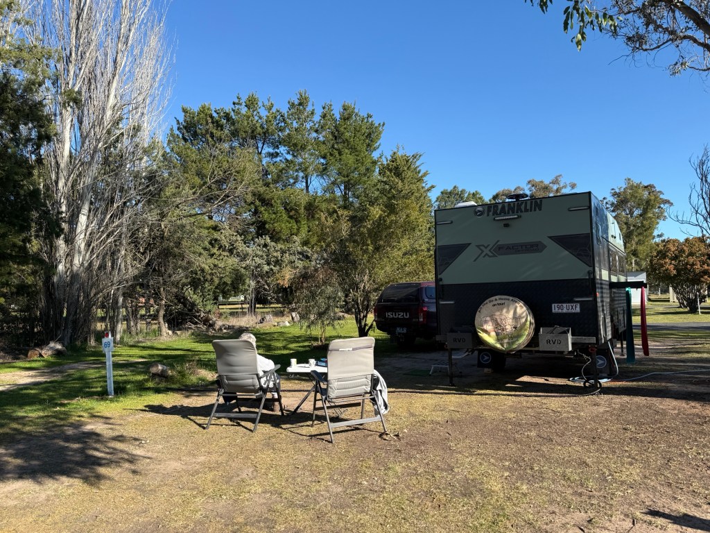
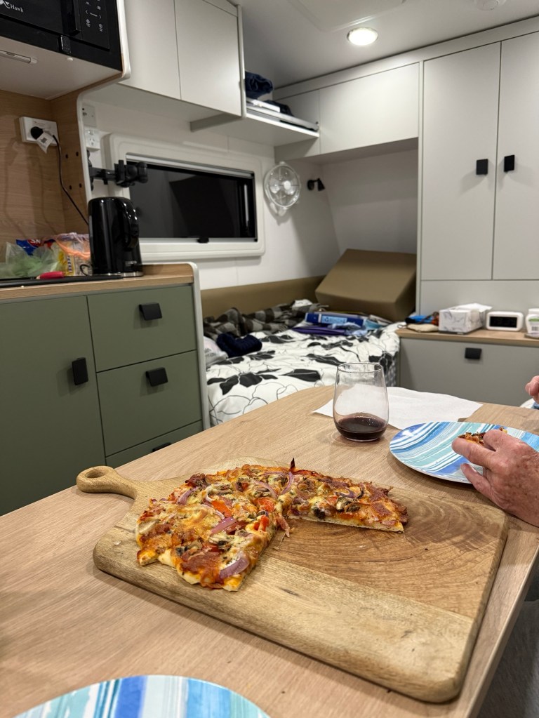
Back at the Van park we settled in for what was to be a chilly night. Heading to Walcha next.
Some more gorges
We have had a day out of Armidale backtracking a short way down the Waterfall Way to check out the old mining town of Hillgrove. Some gorges got in the way of this expedition, as they do.
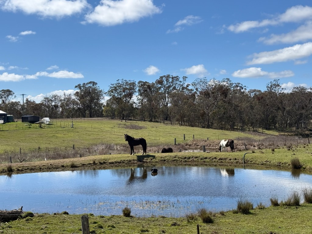
The back road to Hillgrove took us via the remnants of another old gold town, Metz. There were about 750 people here in the late 1800s before mining petered out around 1920. Now, mostly privately owned pasture lands.
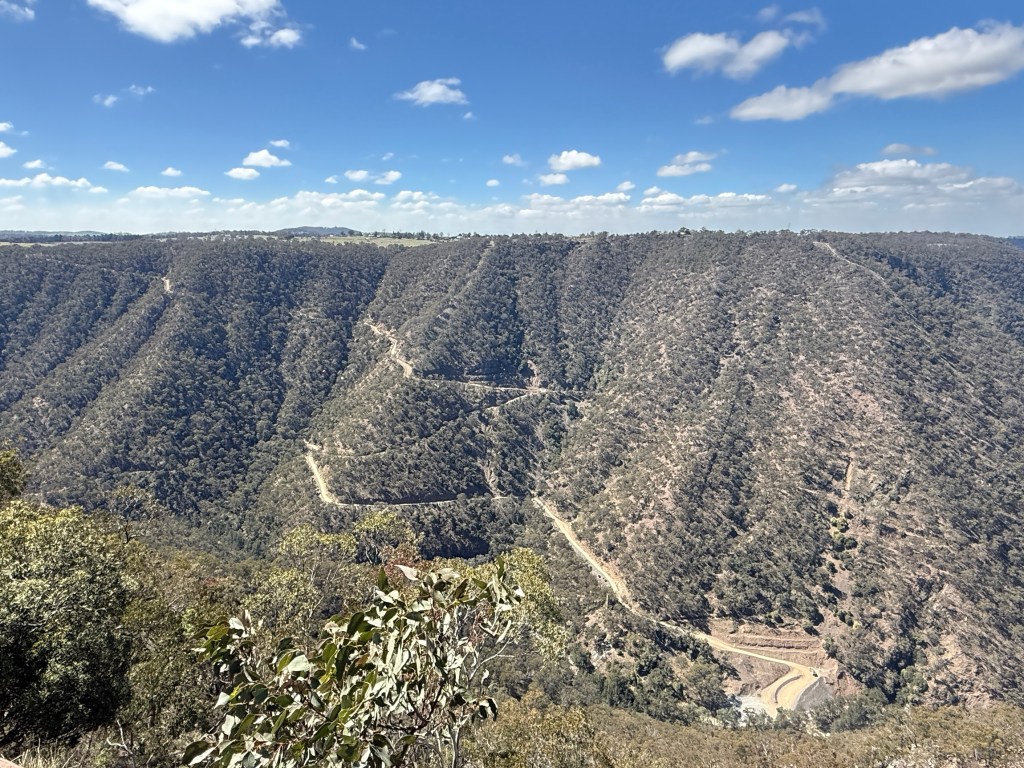
A nearby lookout provides views down into the Bakers Creek and Metz Gorges where mining took place and across the valley to Hillgrove on the opposite rim.
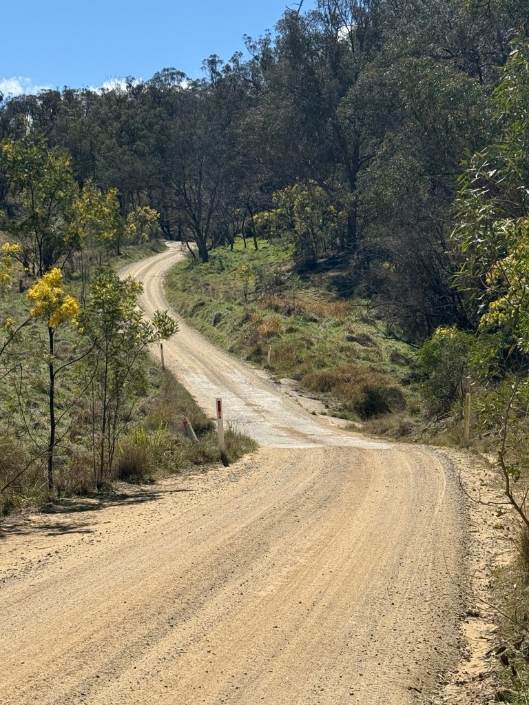
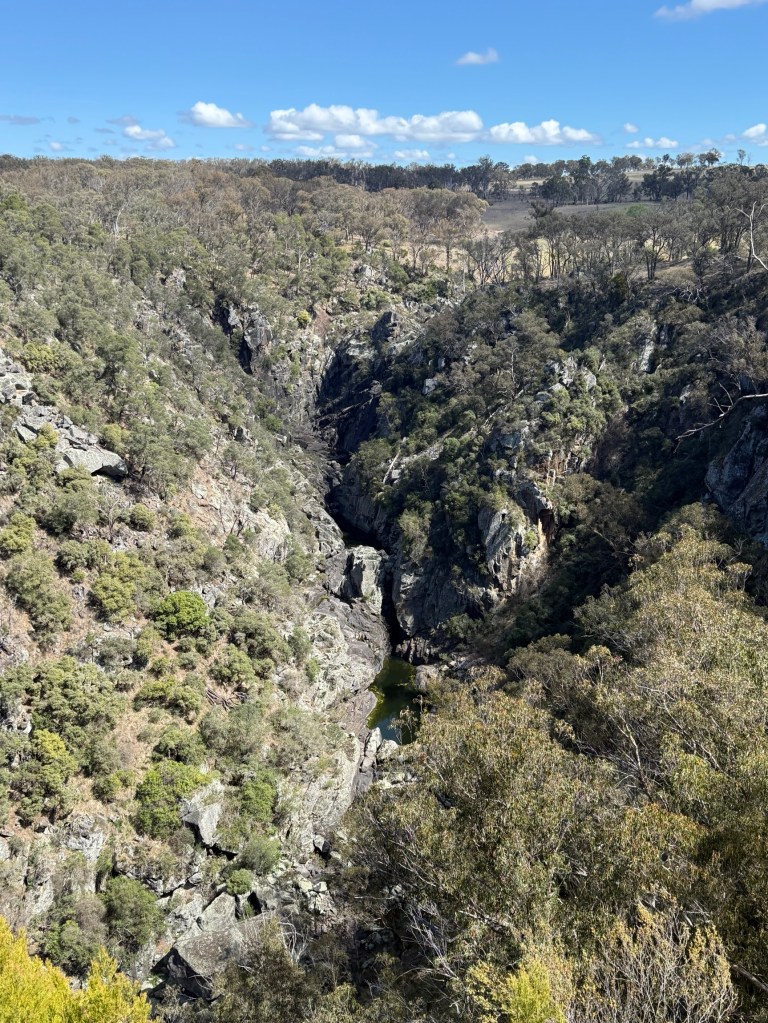
Moving on from Metz, Chinaman’s Gully Road took us back to the Waterfall Way and another lookout down into Metz Gorge and Bakers Creek Falls. The falls were not running, but big pools of water were at the bases of the tiered waterfall.
A little further along is the turnoff to Hillgrove. Hillgrove’s population was around 3,000 in the late 1800s and was the main centre for the mining activities. It was also the social centre for the region. The English cricket team came here in 1888 and played on the Recreation Ground.
Like Metz the population declined after 1920 and much of the urban infrastructure was removed apart from the post office ( now a private residence) and school (now a mining museum).
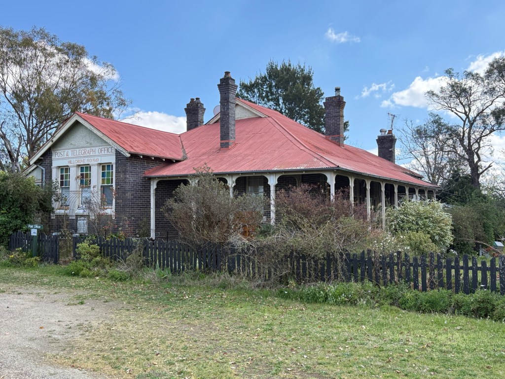
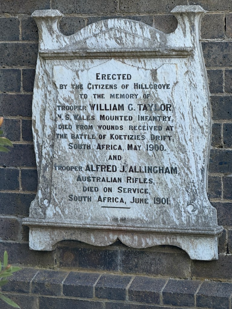
There is a town brochure that has a street guide to all the old buildings. Trouble is they are all gone and it is vacant land or something else has been built on the spot where it used to be. It is though how we found the old post office.
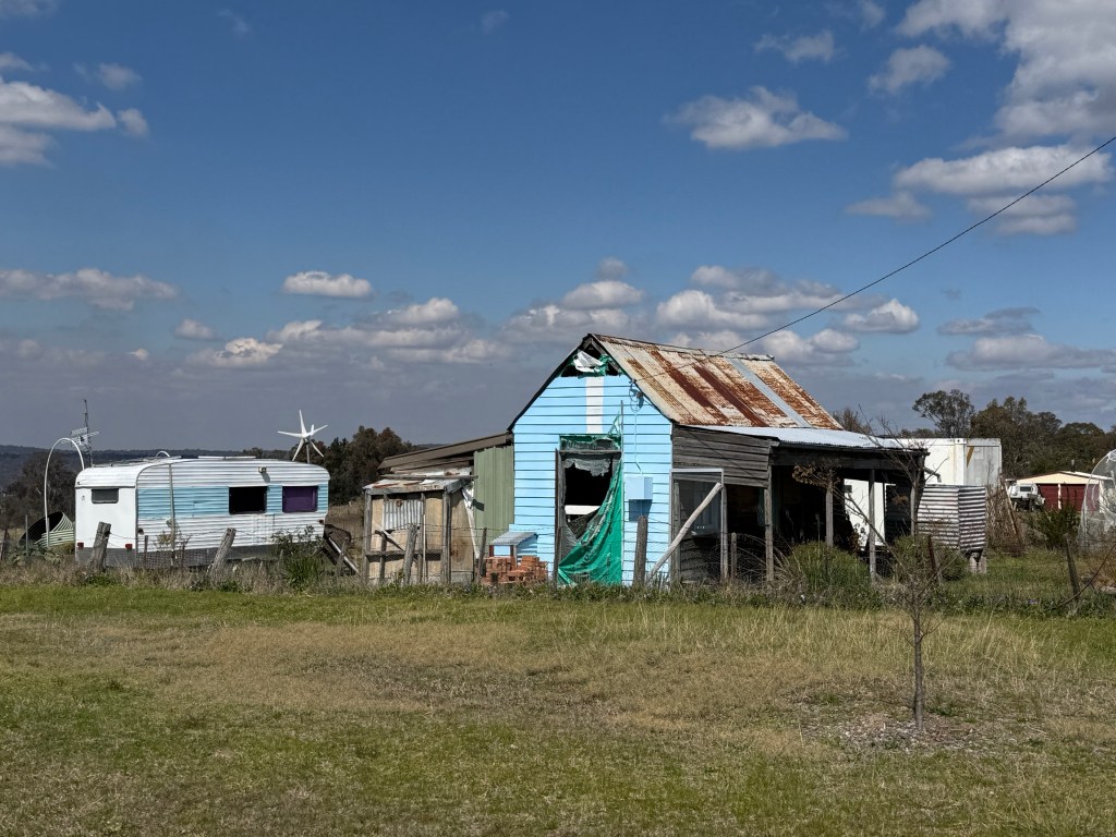
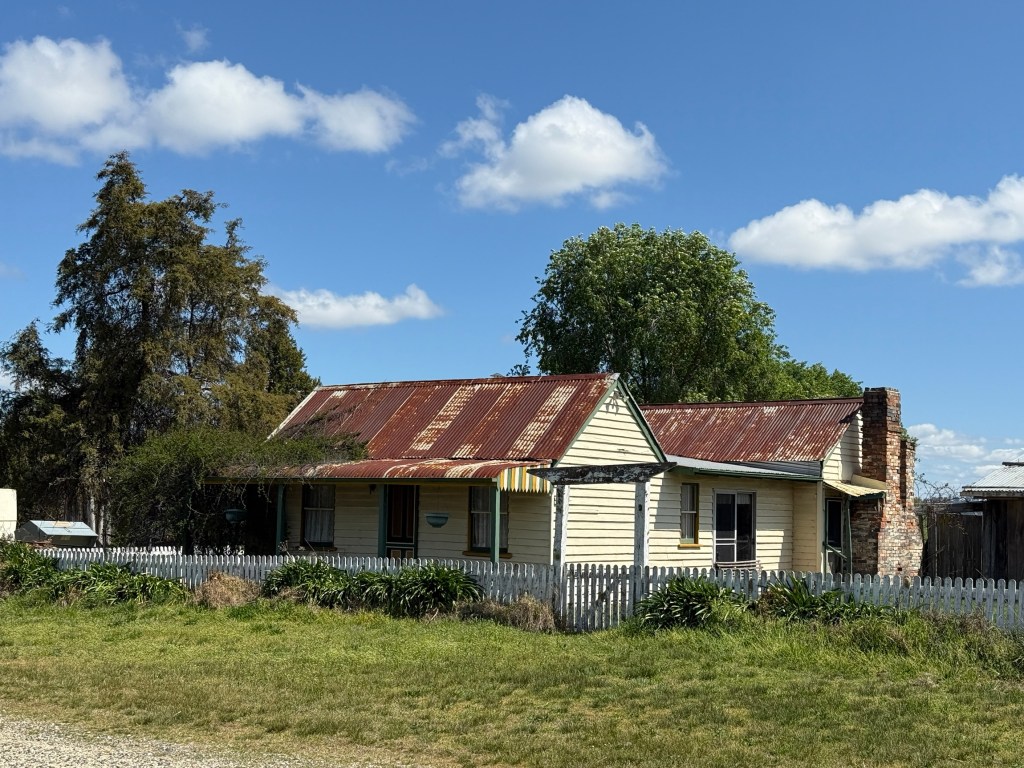
Hillgrove now seems to have a few newbies and off grid types in residence, maybe some mine workers. There is also new housing, energy efficient type places. There is a big processing plant on the edge of the town where the road comes up from the valley floor.
After 1920 there were periodic bursts of gold mining and also tungsten from 1930 to the late 50s. Tungsten strengthens steel. Today, mining continues with antimony the main product along with gold. Claims to be Australia’s biggest antimony mine. Antimony is used as a lead alloy in batteries and as a semi conductor, also an additive in paints.
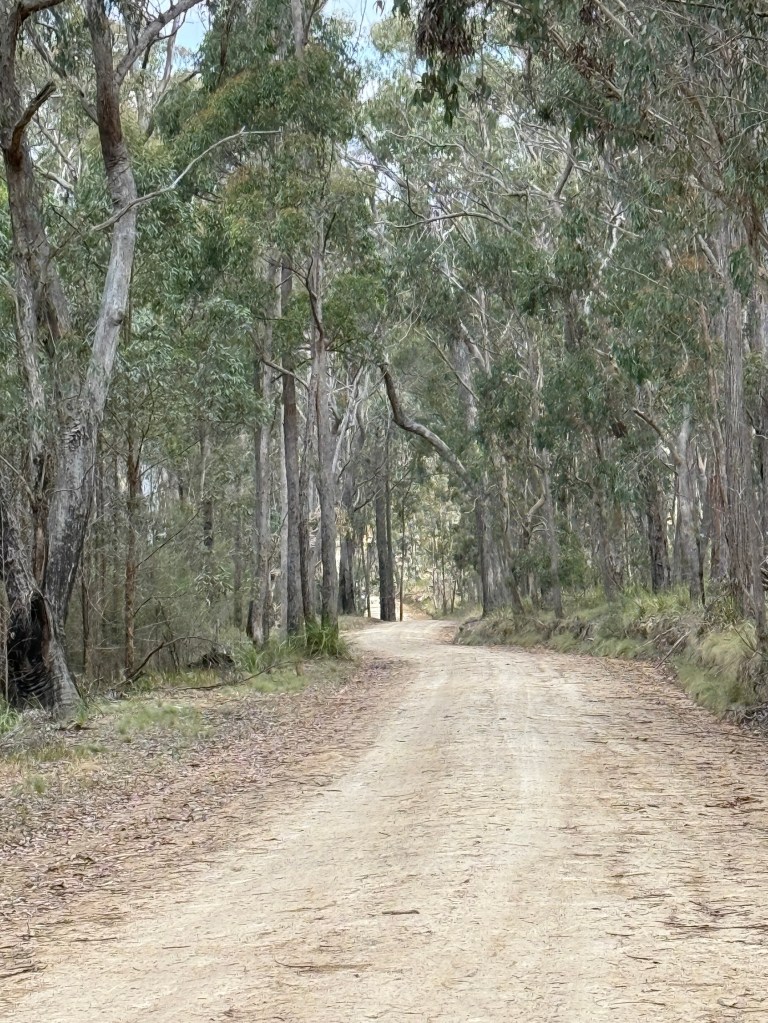
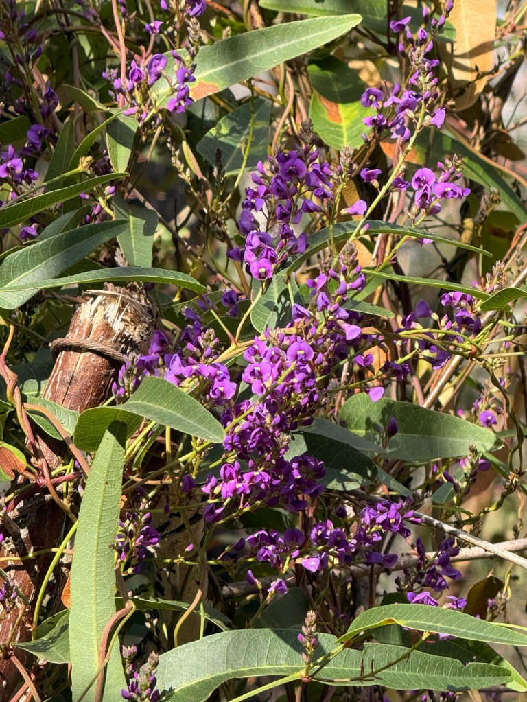
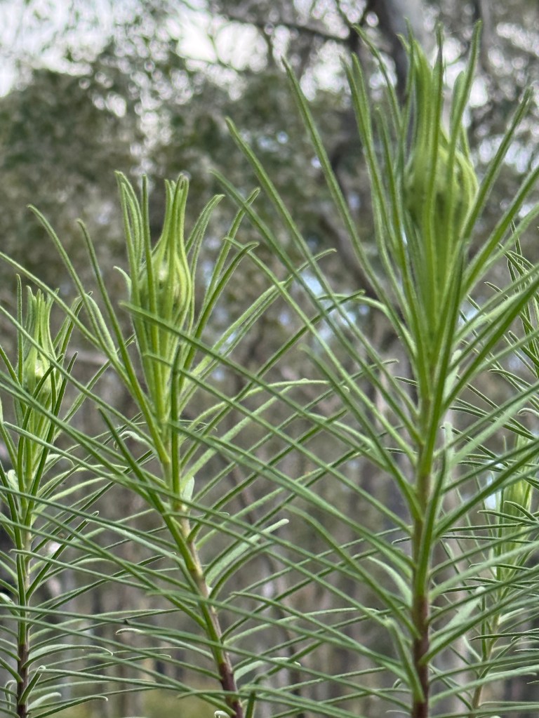
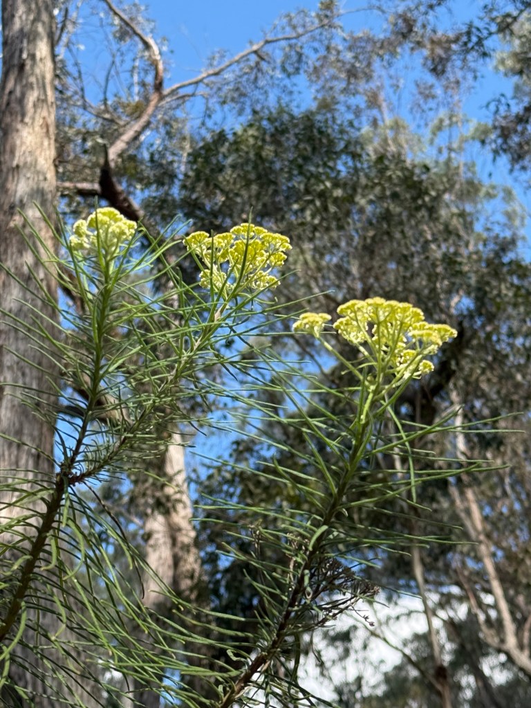
Another road into nowhere took our liking, about 17 km of gravel to Long Point. No time for any walks here but we enjoyed a late lunch in the very quiet forest. Wattle and other natives in bloom.
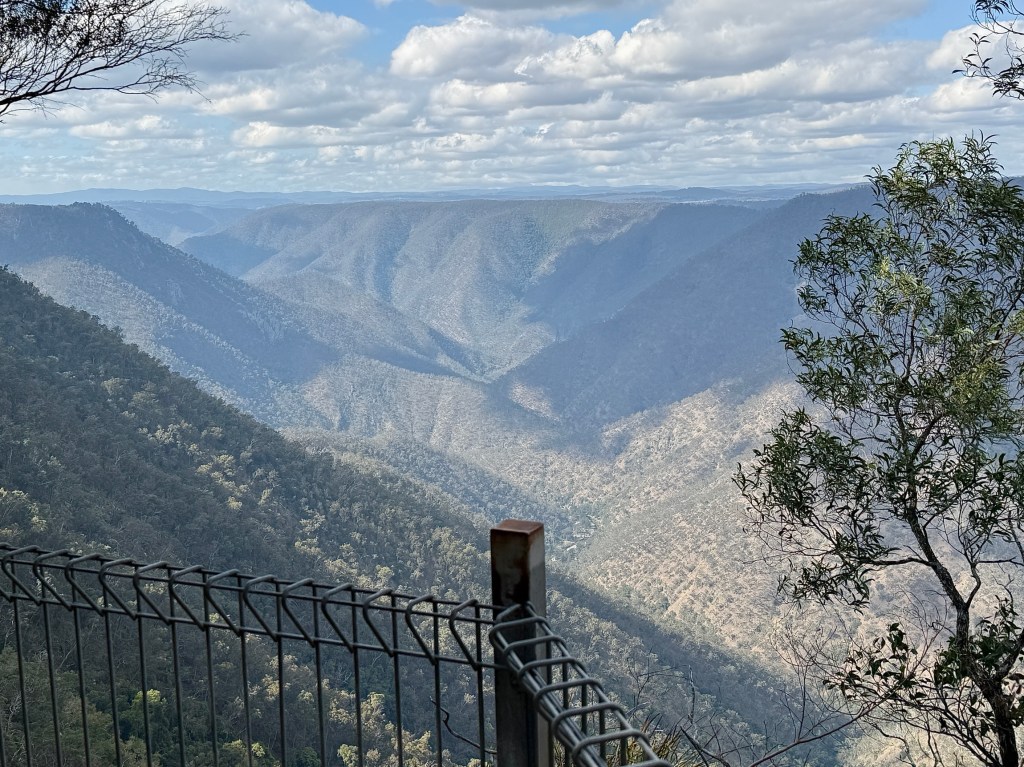
On the way back out Allthego went for a short wander to the Chandler Gorge and River lookout, another one of those long way down looks from a narrow platform!
Final stop for the day was at the upper Gara Gorge just a few kilometres out of Armidale. This is an interesting little parkland beside the Gara River.
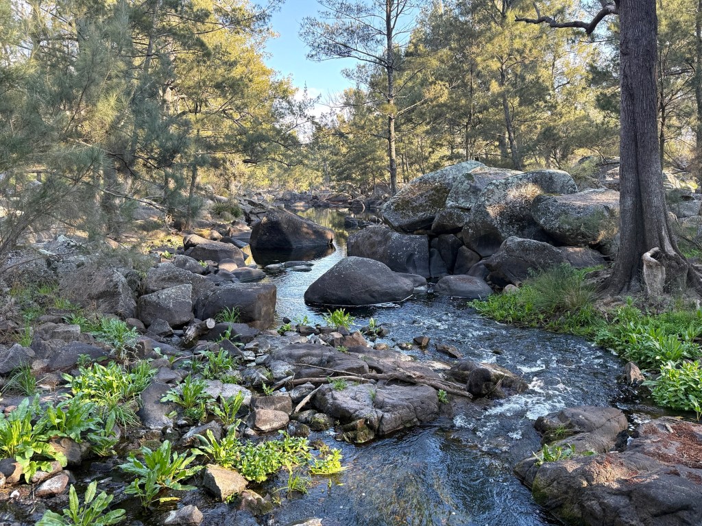
It is where Australia’s first hydroelectric scheme was developed. The plant was switched on in 1895 and provided power to the then booming town of Hillgrove, Australia’s first town to be to be lit and powered by hydroelectricity. It remained in operation till 1920.
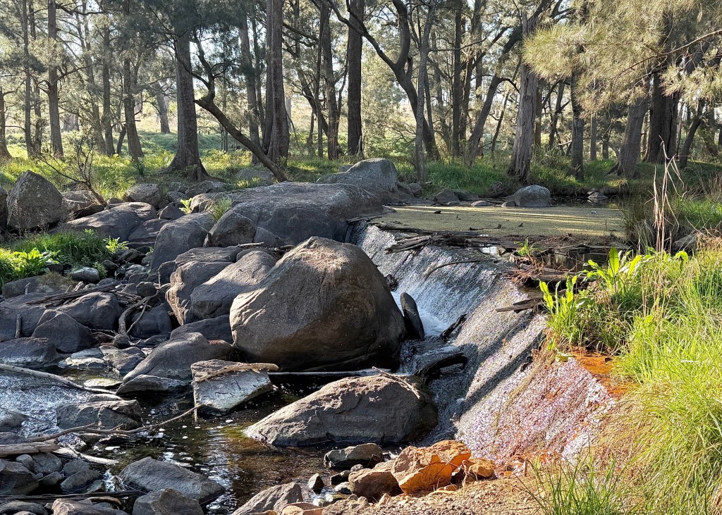
A weir which dammed the Gara is still there and further downstream are the remains of the power station.
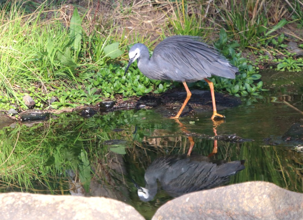
It was late in the day and we didn’t venture in that direction.
Back to the van for a rest and our last night in Armidale.
Another sunny morning for our departure but first we had an early brunch stop at a nearby cafe, the Corner Crêperie.
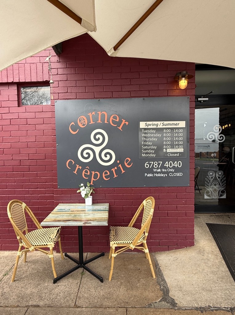
Not only crepes but quiches, pies and other flakey things.
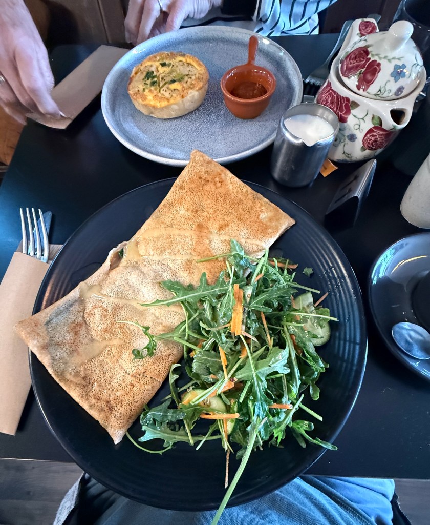
We settled for a chicken quiche and a spicy beef crepe. Very tasty and a great start to the day. Uralla here we come! A short hop of 22 km.
Armidale
Armidale is a small city of some 26,000 people and was established after colonisation in 1846. It is primarily an agricultural service town but also features a strong educational and arts sector, centred on the University of New England.
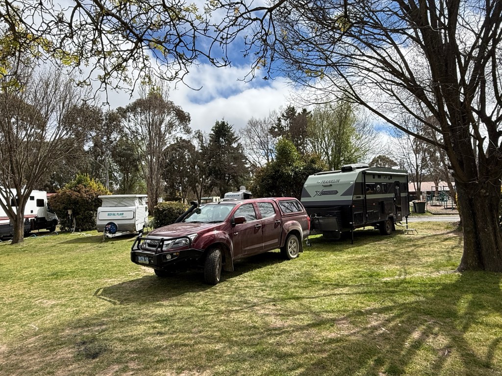
We are here for three days in a spacious van park on the edge of town. What to do in three days is the question?
To get a flavour of the place we decided to have a look around the close to town historical and colonial landmarks.
Saumarez House stood out in this regard. Located about 8 km out of the city this is a must see in Armidale.
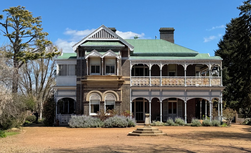
This colonial mansion was built from the late 1870s on a grazing property that had been established in the 1840s. The White family across three generations built the property in stages and completed it in 1906. The White family were from the Hunter Valley and were a dynasty that were movers and shakers in pastoral properties.
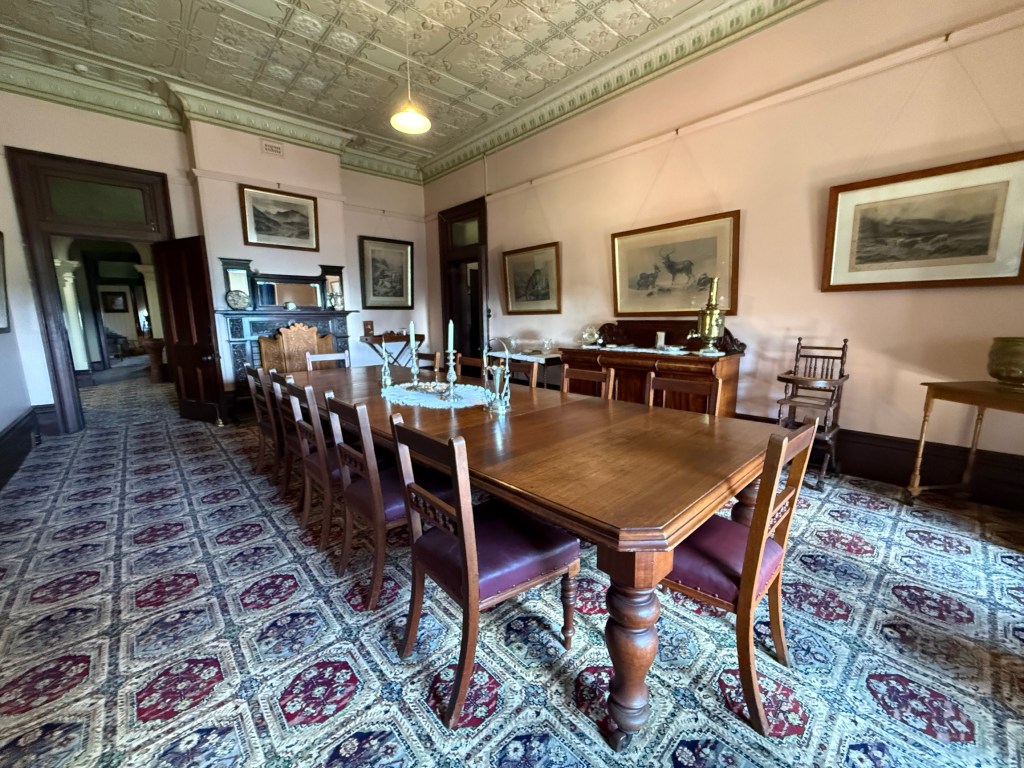
A decedent is Patrick White the Australian writer, baby boomers would probably have studied at least one of his books in High School during the 1960/70s. Allthego laboured through Voss and the Aunts Story!
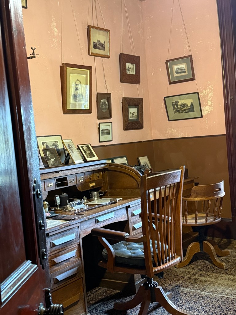
The numerous family members held many properties across NSW, QLD and the NT. Francis White and his wife built Saumarez, they had 7 children. One of them Elsie, she never married, lived there nearly her entire life dying in 1987 in a nursing home at the age of 97.
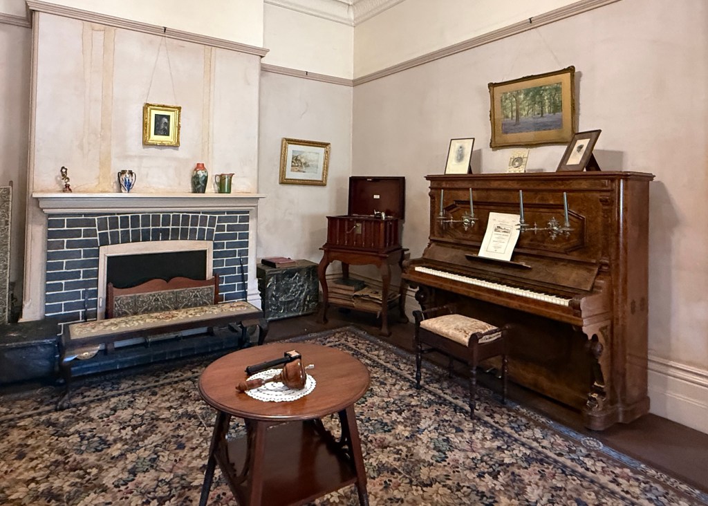
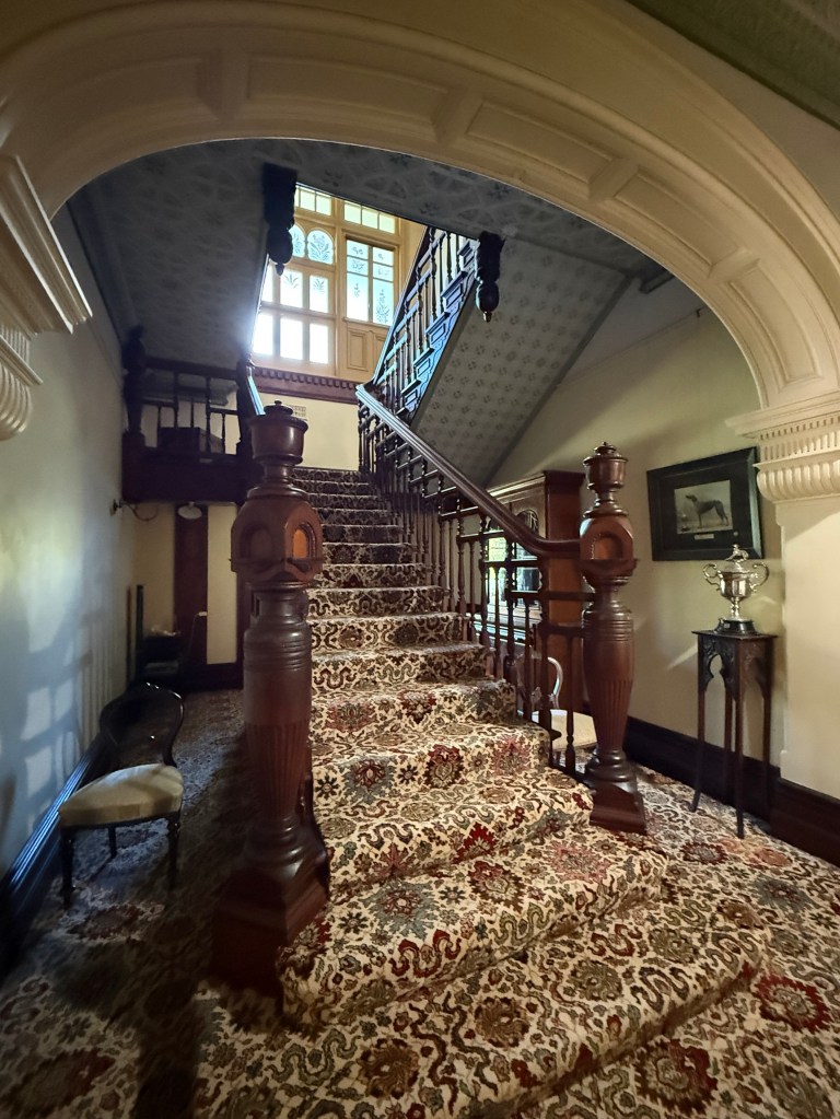
The family gifted the property to the National Trust in 1984. The house has been left as it was, a living museum of some 100 plus years of pastoral life from 1870 to 1980. We had a guided wander through the house’s numerous rooms and later the gardens for nearly two hours. Quite a story and eye opener.
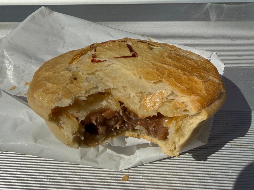
To get some energy back we then headed to a pie shop for lunch. Continuing the search for the pie of the trip. The Information Centre suggested we try Moxon’s Bakery, so we did. Cheese and bacon, not bad and better than the same variety we had earlier in Casino. It was hot too!
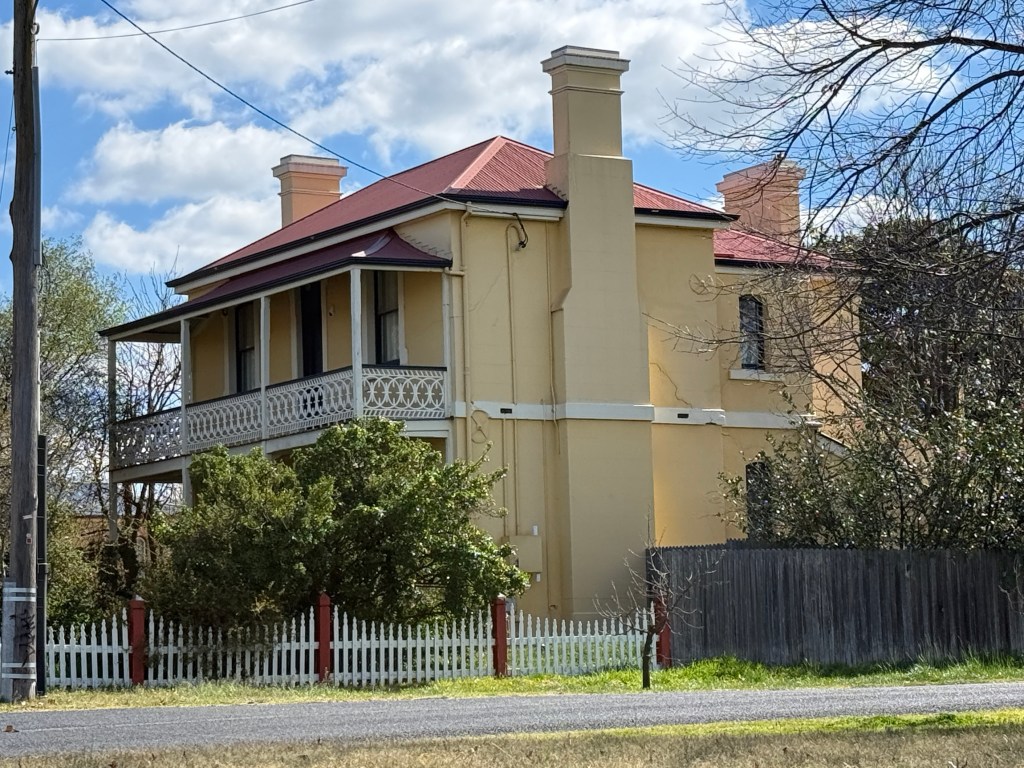
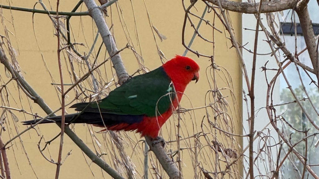
Following lunch we drove around some of the other outlying historical buildings, a little less dramatic, guided by a tourist brochure.
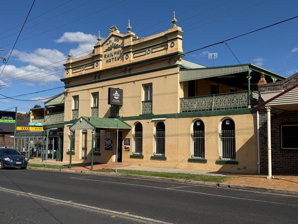
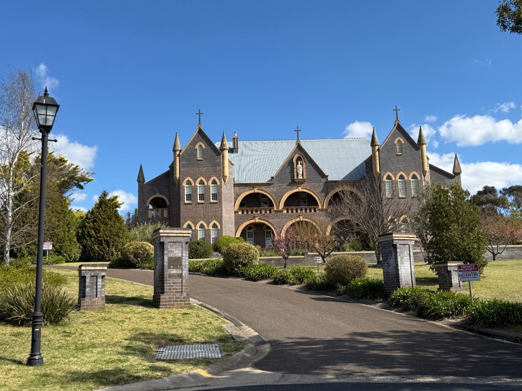
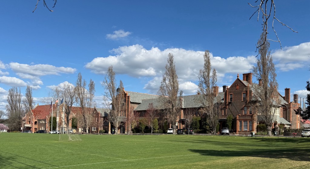
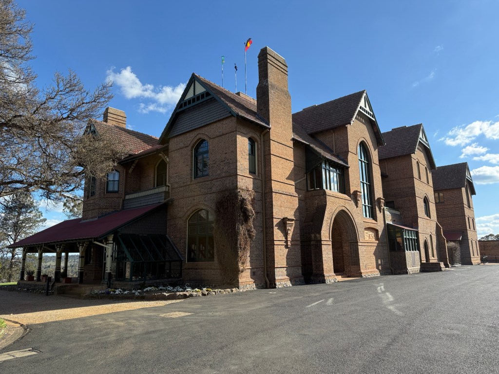
Ended up back at the van for dinner after a long day.
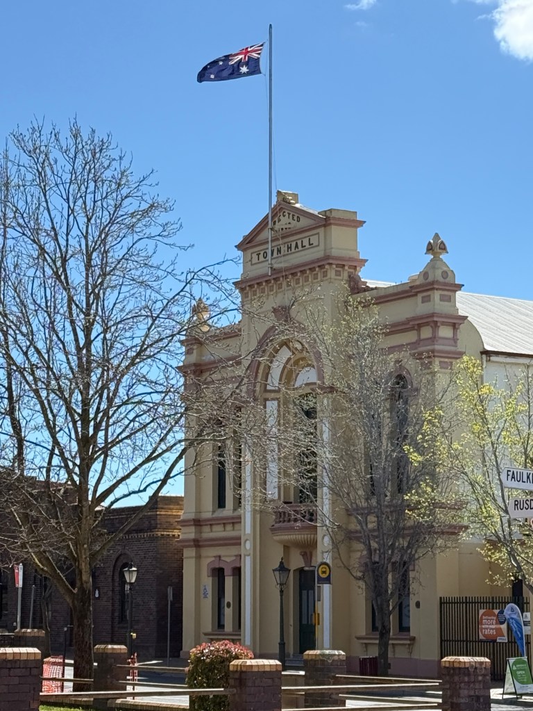
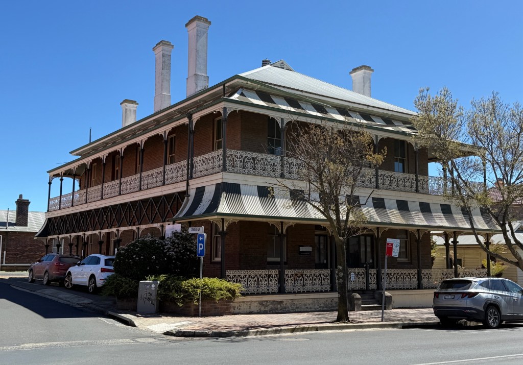
The following morning Allthego went into the CBD to have a look at some of the buildings from the 1800s and early 1900s. Homealone decided to lurk at the van in the sunshine with some craft in hand.
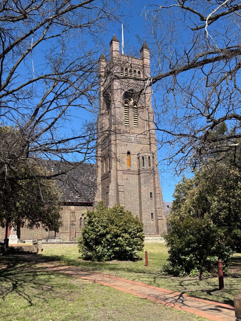
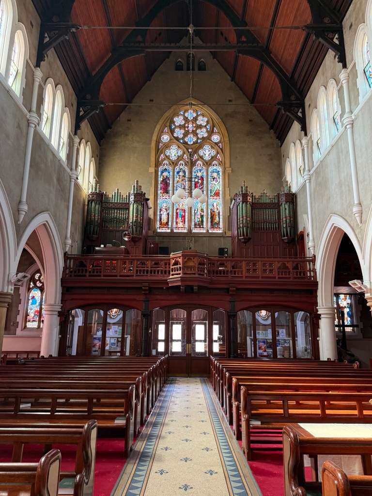
The Catholic and Anglican churches were two of the earliest substantial buildings. Quite impressive sitting on high ground looking back towards the CBD.
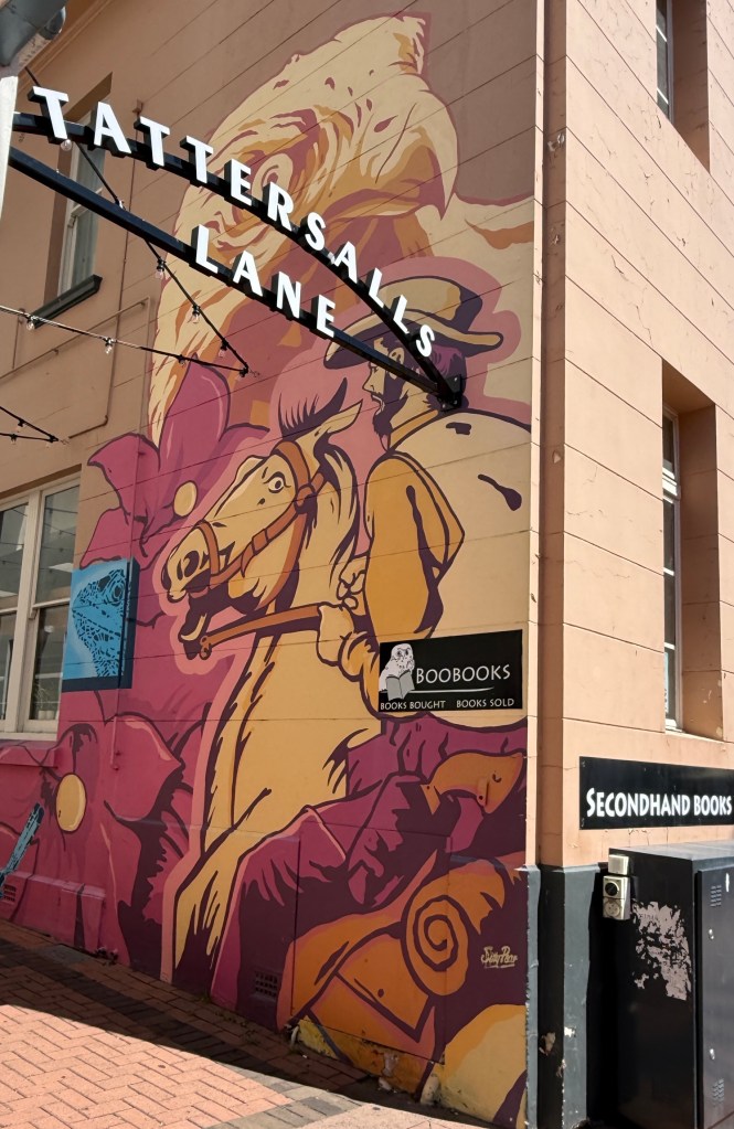
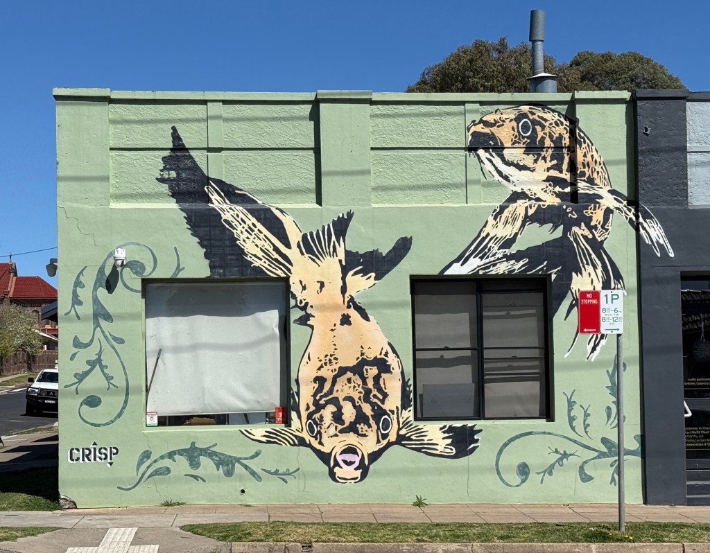
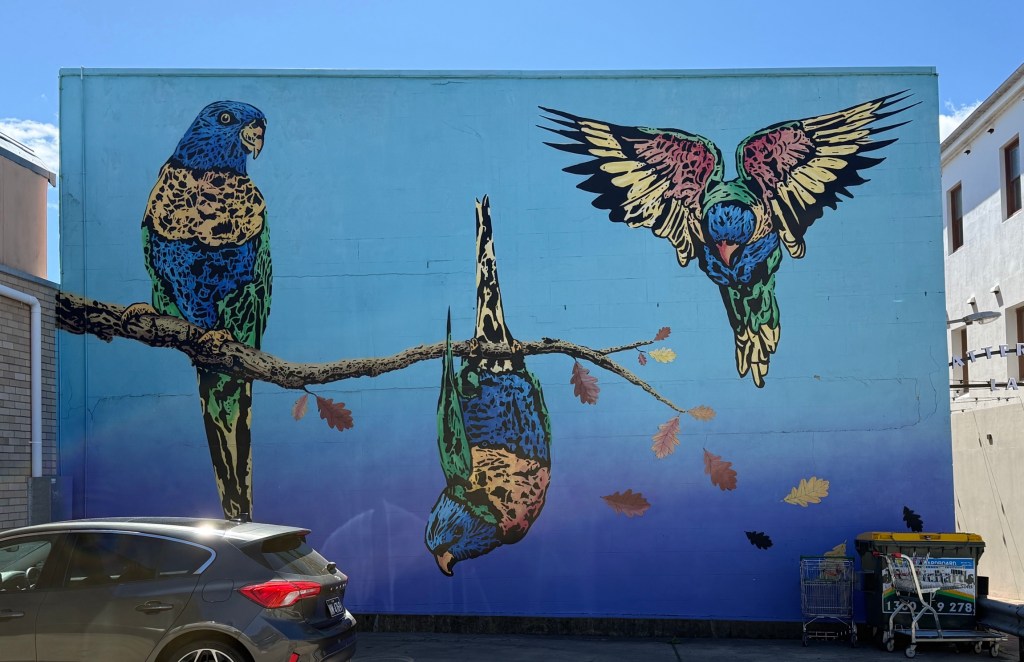
The older hotels and government buildings have been well preserved, the iron lacework on verandahs stands out. There is then a contrast of the old building adornments with the new, numerous murals. These predominately depict wildlife, wildflowers and historical moments.
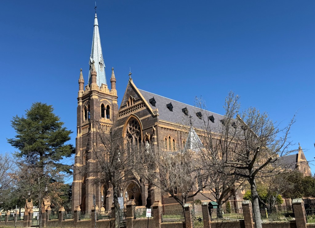
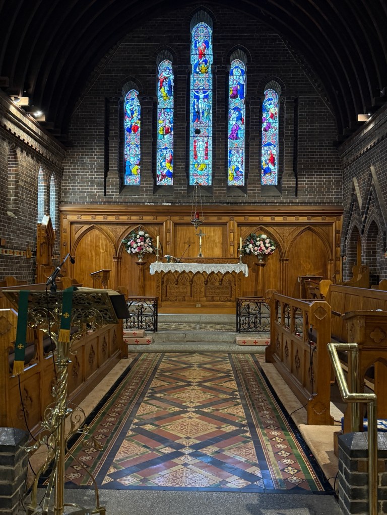
Allthego returned to the van from this short walk a little later than planned, about 1 o’clock in time for lunch and feet up.
Armidale is known for its regional art museum and its collection of material from the 1800s and early 1900s. These collections arose from major donors and form the back bone of the works they have on hand. We paid a short visit to get our dose of culture. There was an awful (or that’s what Allthego thought, he was probably wrong) exhibition of large format dark abstract stuff to contrast with the traditional art. Not Allthego’s scene!

Back to the van to prepare for some real culture over a pizza dinner at the Welder’s Dog craft brewery. Had to book and as well we did, the place was full of locals.
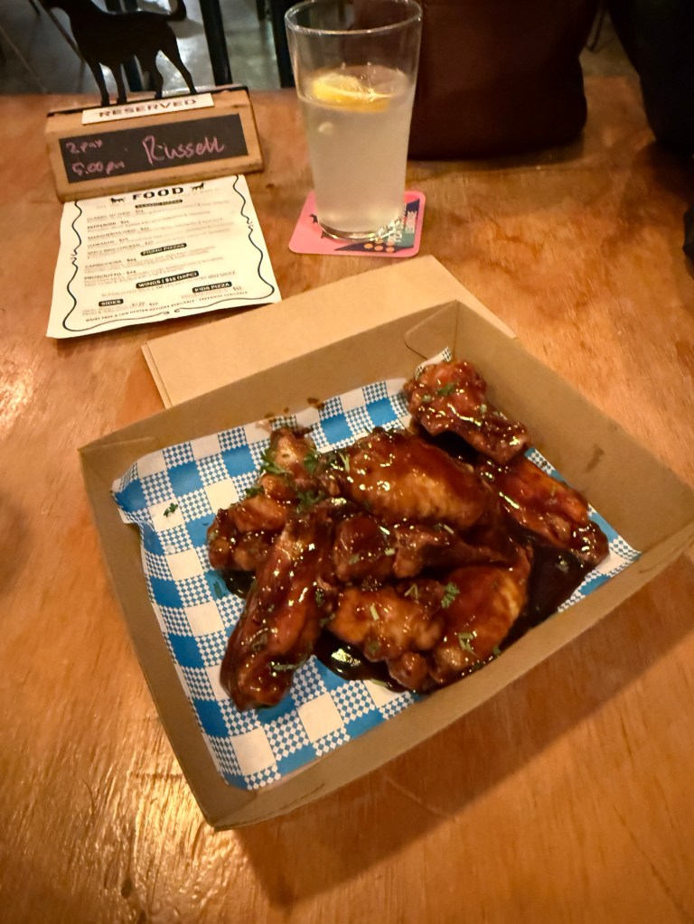

Mostly youngsters, but a few oldies like us to enjoy some rounds of Musical Bingo.
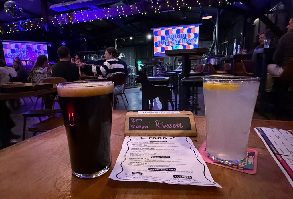

You had to identify a song from a musical snippet and then cross it off the bingo sheet, we only ever crossed off 4 or 5 from the 16 needed. Some original prizes too, the standout being the meat tray from Coles. It was a stack of devon, a loaf of sliced bread and a squeeze bottle of tomato sauce. We didn’t win it, but an entertaining evening.
We are off out into the wild next time!

