Monthly Archives: October 2026
Yamba
We are drawing near to the end of this journey with our last stop at Yamba. Stayed about 5 or 6 km out of town for three nights at a van park called Fishing Haven, surrounded by tea tree and macadamia plantations, as well as sugar cane. Very rural outlook!
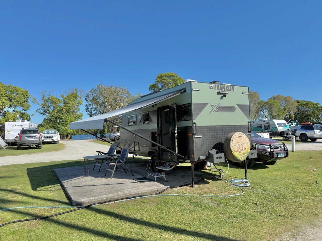
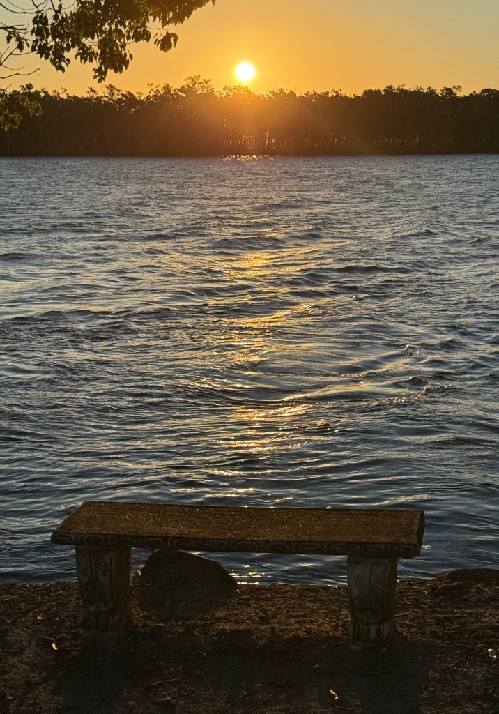
The park is right beside the Clarence River and it probably is a fishing haven. A nice tidy park, plenty of room on our site and quiet too, peaceful even.
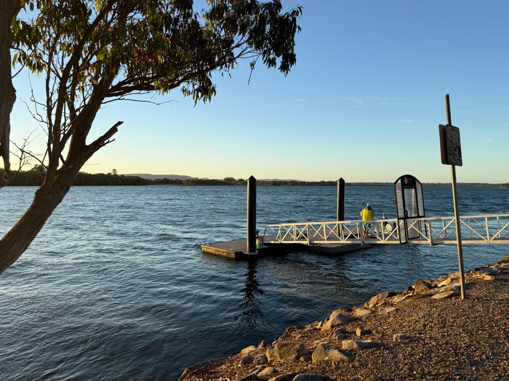
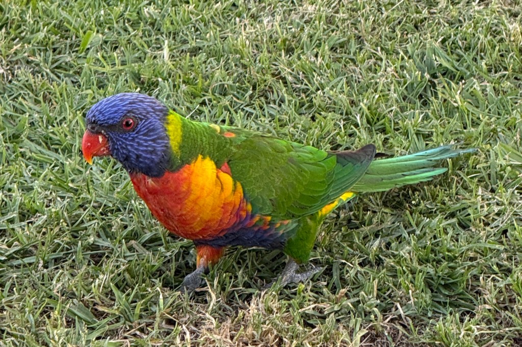
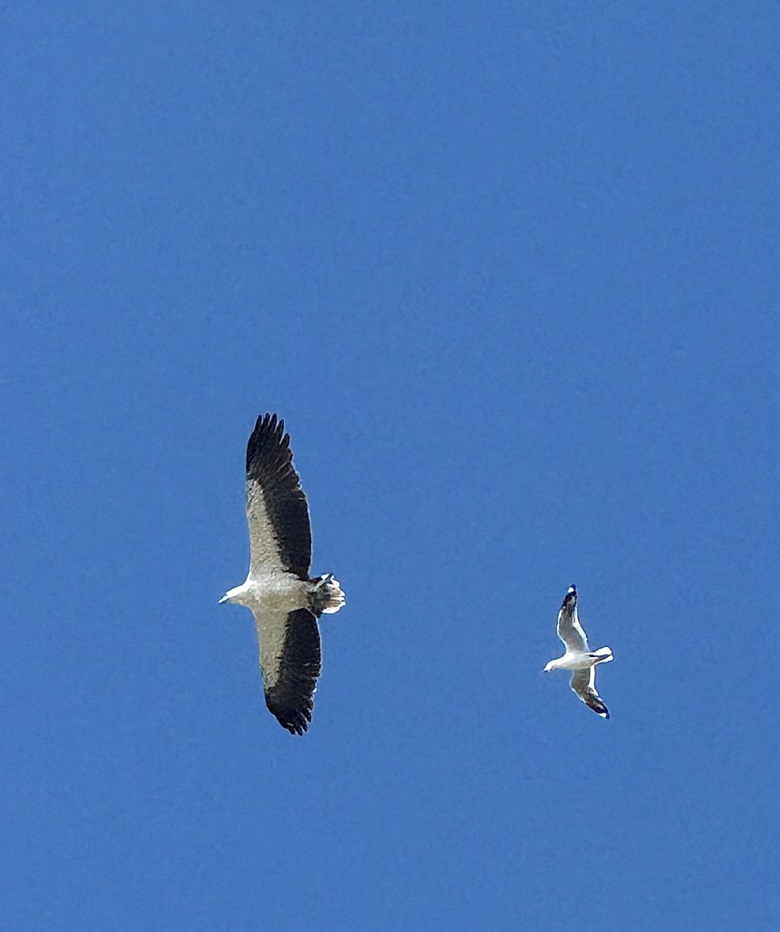
There is a bit of birdlife around and a number of water dragons frequent the river rock wall.
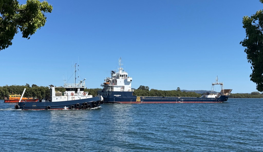
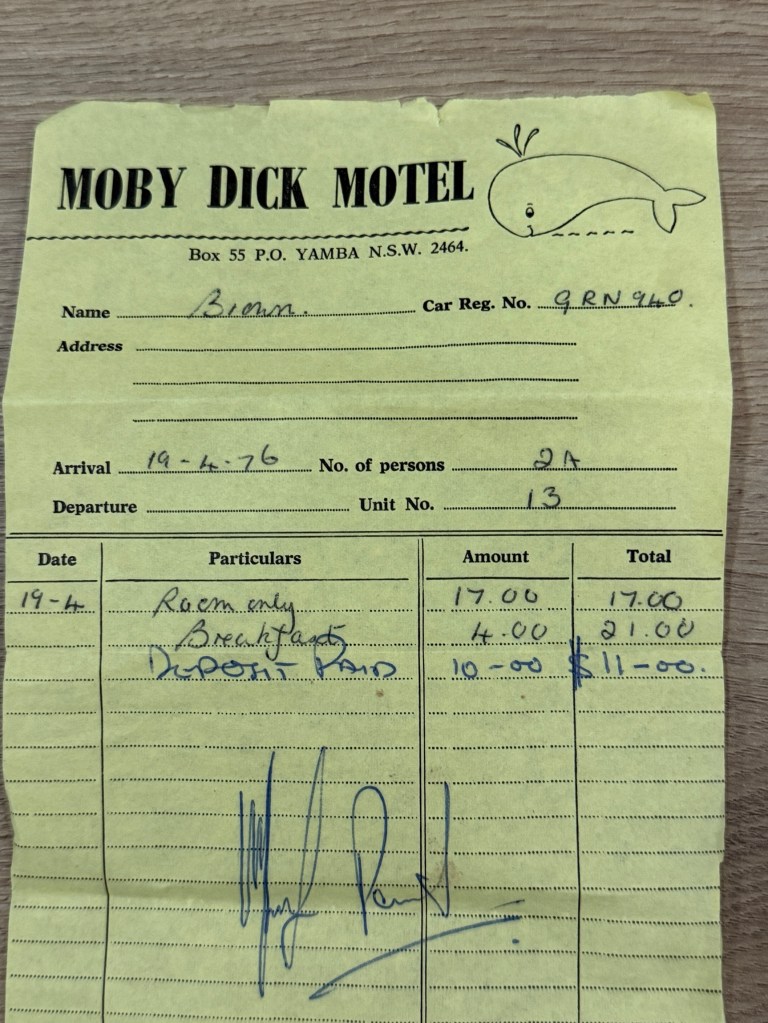
We are on a mission here in Yamba to check out another motel we stayed in 50 years ago. Moby Dick Motel , $17 a night and breakfast was $2 each.
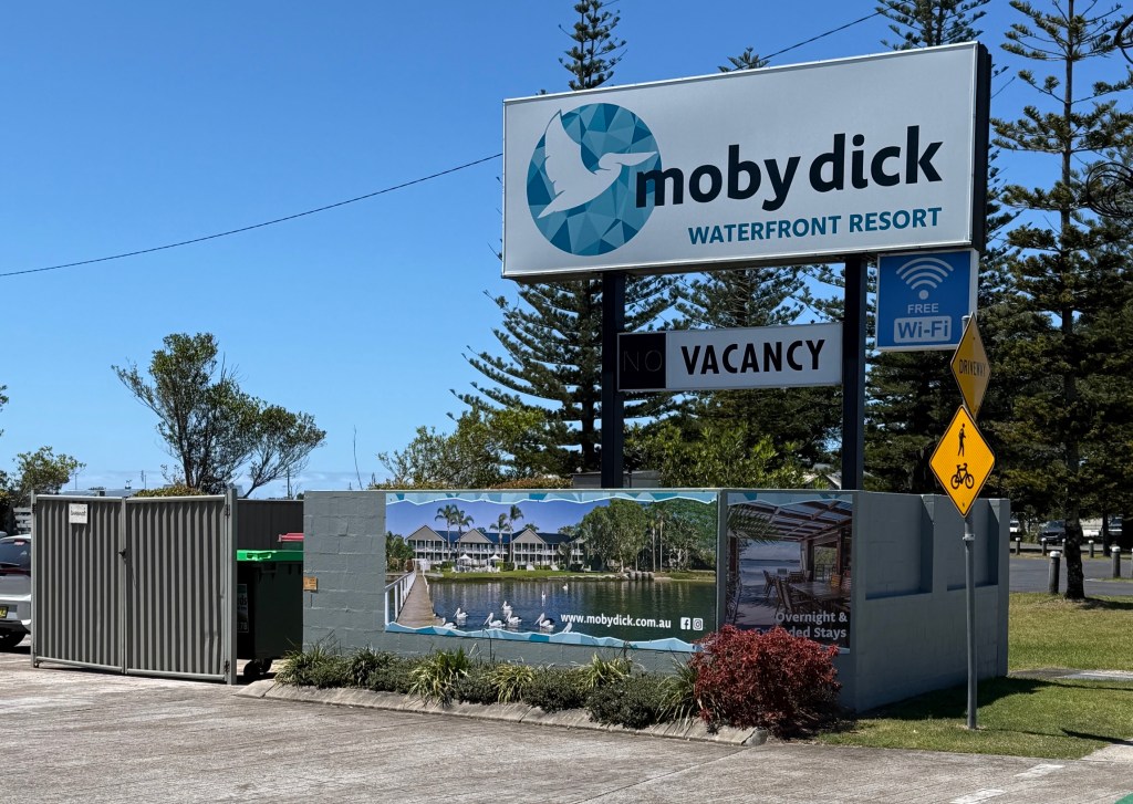
Problem though. The Moby Dick as we knew it is gone. Knocked down and replaced by the Moby Dick Waterfront Resort, an upmarket strata titled complex. There wasn’t even a Room 13 to look at!
The receptionist showed us some photos of the old Moby that were in the lobby, we couldn’t recall much from them.
The old motel bills can now go back in Allthego’s box of treasures at home. Perhaps to be discovered by others in years to come. Bit like a time capsule!
Another coastal walk caught Allthego’s attention, 4 km and about half the distance of the Port Macquarie walk. It went around in a loop so Homealone could stay at home this time.
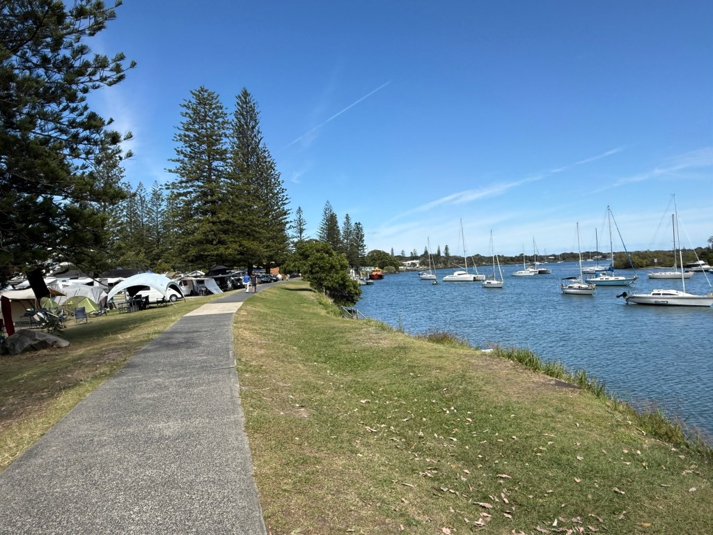
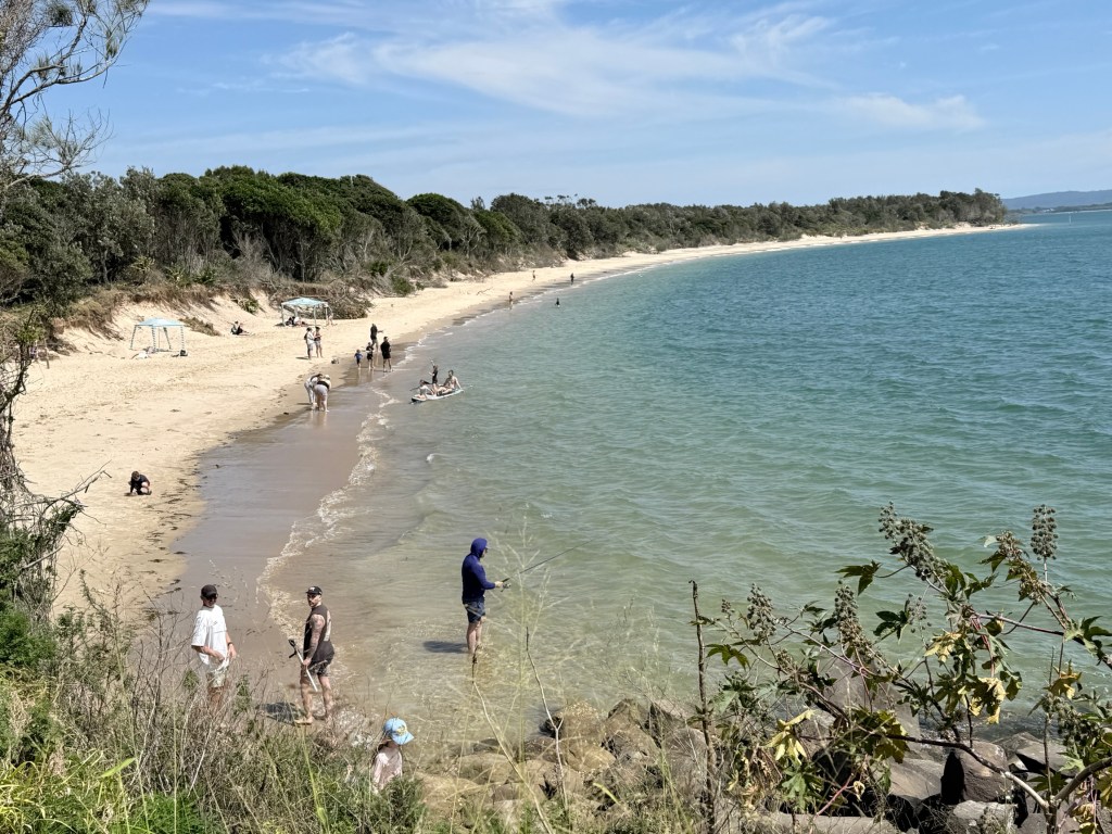
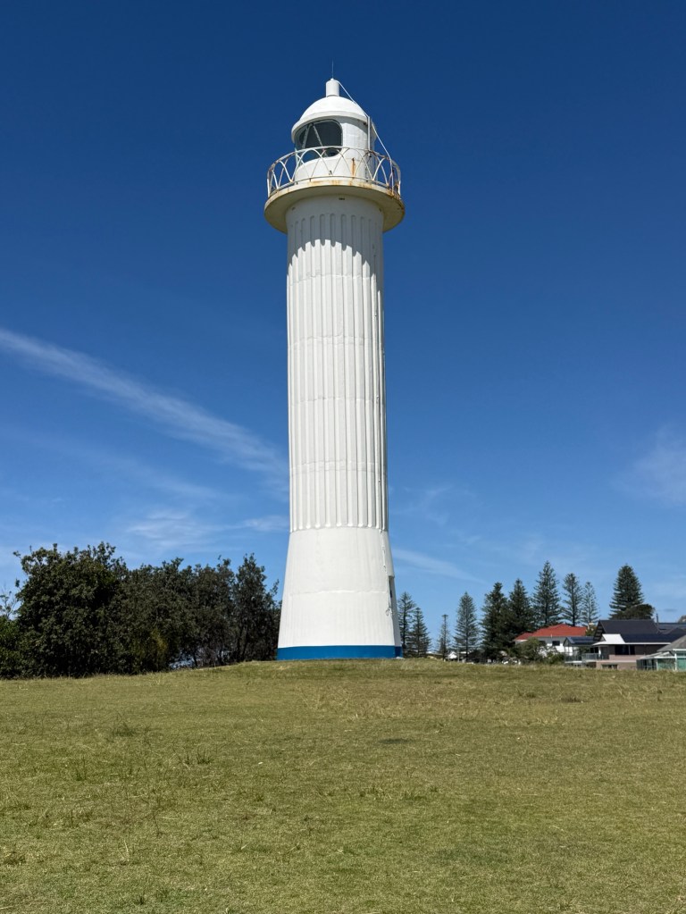
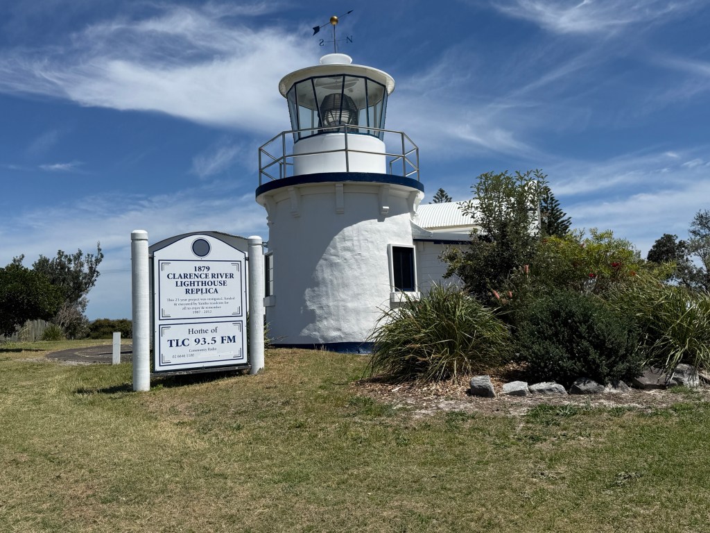
It was also a walk through a very urban environment, so less chance of getting lost and needing search parties.
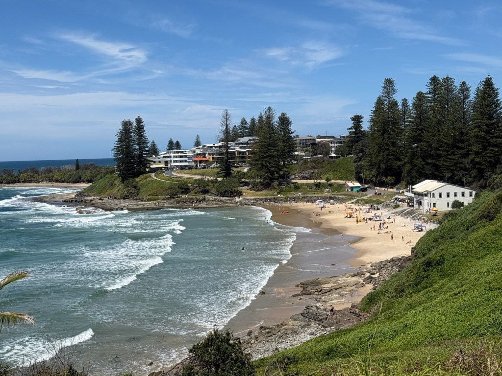
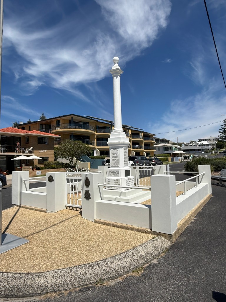
The walk left from the Yamba Museum and meandered down to the river, along a river rock wall (no art work!) and then up and down hills past the town’s beaches and headlands before ending back at the museum.
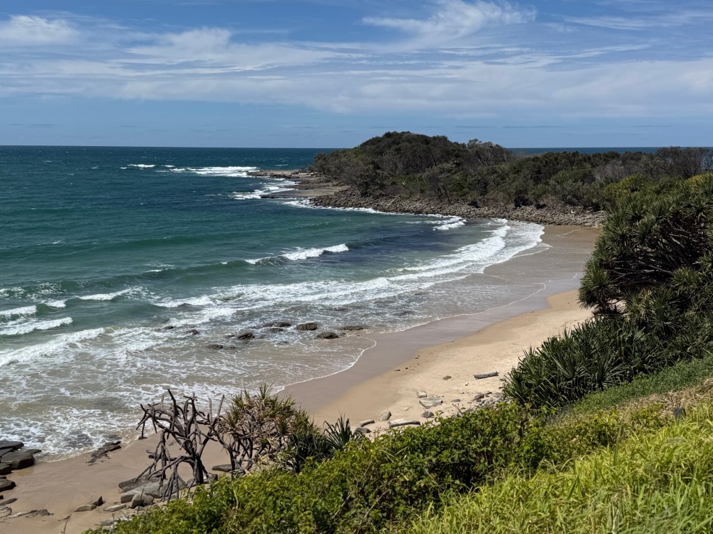
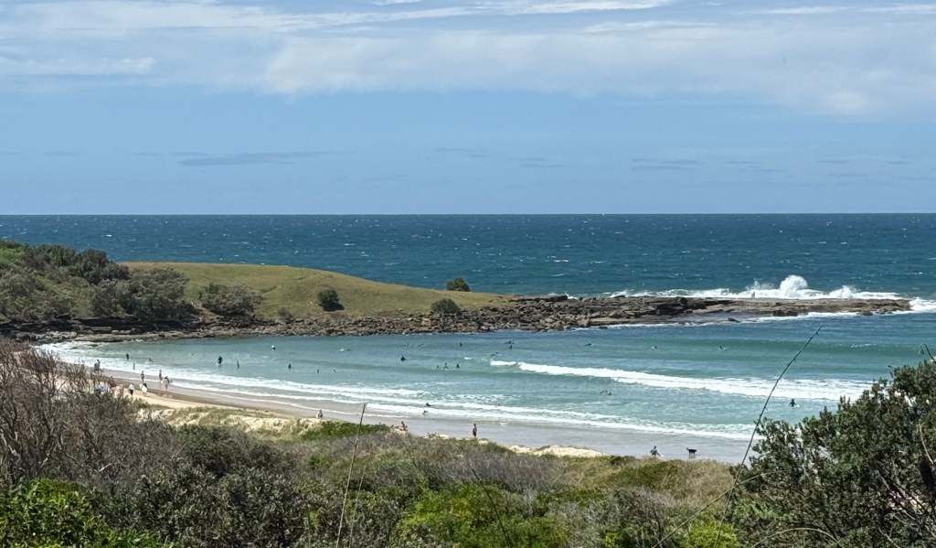
It was a pleasant stroll around the town that culminated in a hot meat pie taken back to the camp.
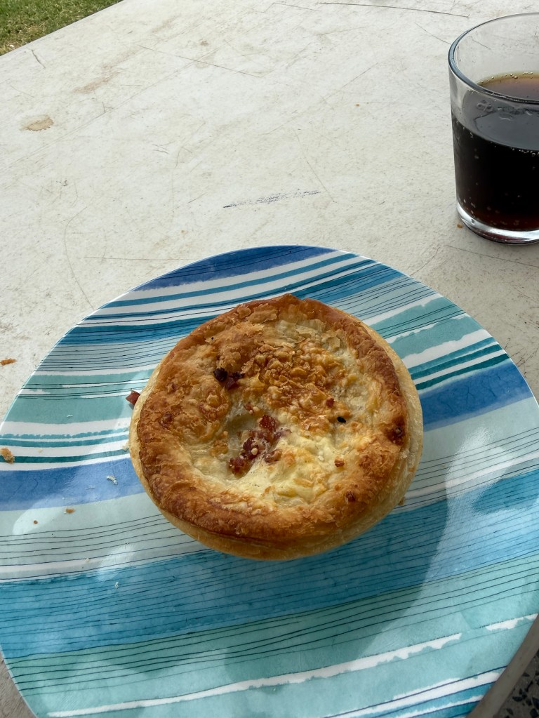
And, we think it was one of, if not the best meat pie of the trip! Proving the old adage ‘you don’t have to wander far from home to find the best pie’!
Our next stop was Alstonville, for a brief overnighter in the Showgrounds. It is inland from Ballina and from there we will make our way home. An early start anticipated, hoping to beat the October long weekend traffic from the Gold Coast.
Port Macquarie
It is school holiday time here in NSW and the kids are certainly out and about. The caravan park is not full there are quite a few empty slots, trouble is they are not near us! There are some big vans in, sitting on sites made for smaller versions. This is a common problem in older caravan parks, designed years ago when things were on a smaller scale. There is one behind us that is right on the border and we could hold hands with them, two small yappy dogs too. Good to get out and about!
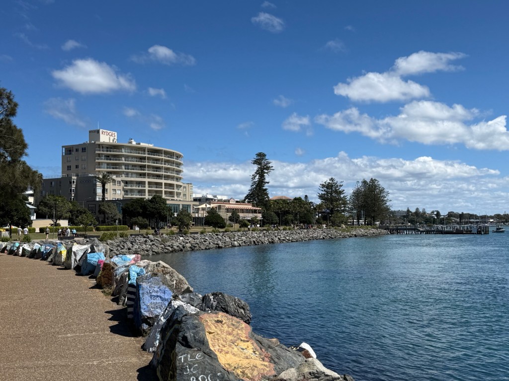
The park is right on the edge of the river breakwall and has some great views up and down the river. All sorts walk, run and cycle along it in a constant stream all day. It is also an artist’s paradise, every rock is emblazoned with some creation.
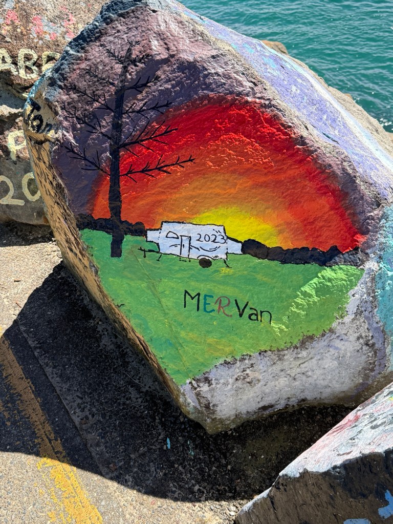
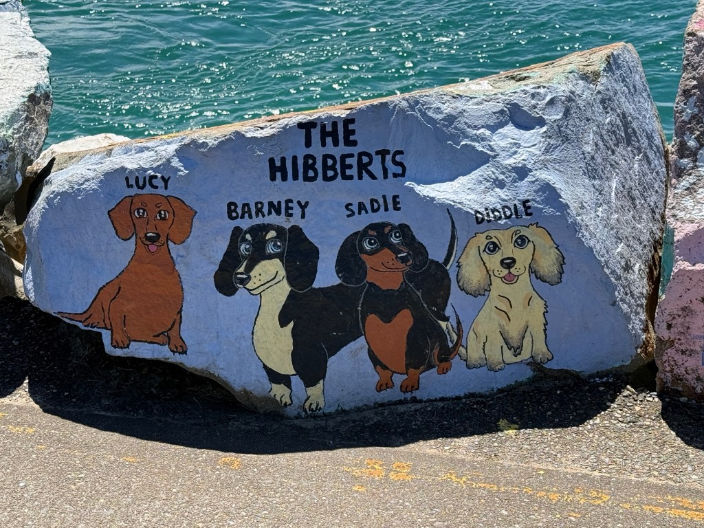
There are also artistic memorials to people who are no longer with us, those who have died at sea, pets or newly weds in the town. Some of them have been there a long time and are partly painted over, others as fresh as a new morning.
Port Macquarie is actually quite an old town that was established as a penal settlement in 1821. The baddies from Sydney Town were sent here.
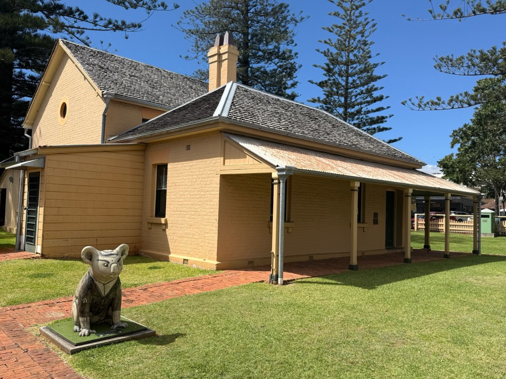
So there are some old buildings around. The oldest government building is the Court House built in 1869 on the site of an earlier courthouse.
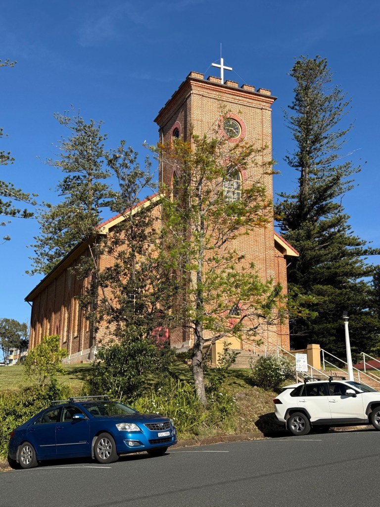
The 1824-28 convict built St Thomas Anglican Church is still in use today.
We had a short river sunset cruise on the Hastings. Took us up stream past the north shore area and then in and through some of the canals. Some rather nice houses and boats.
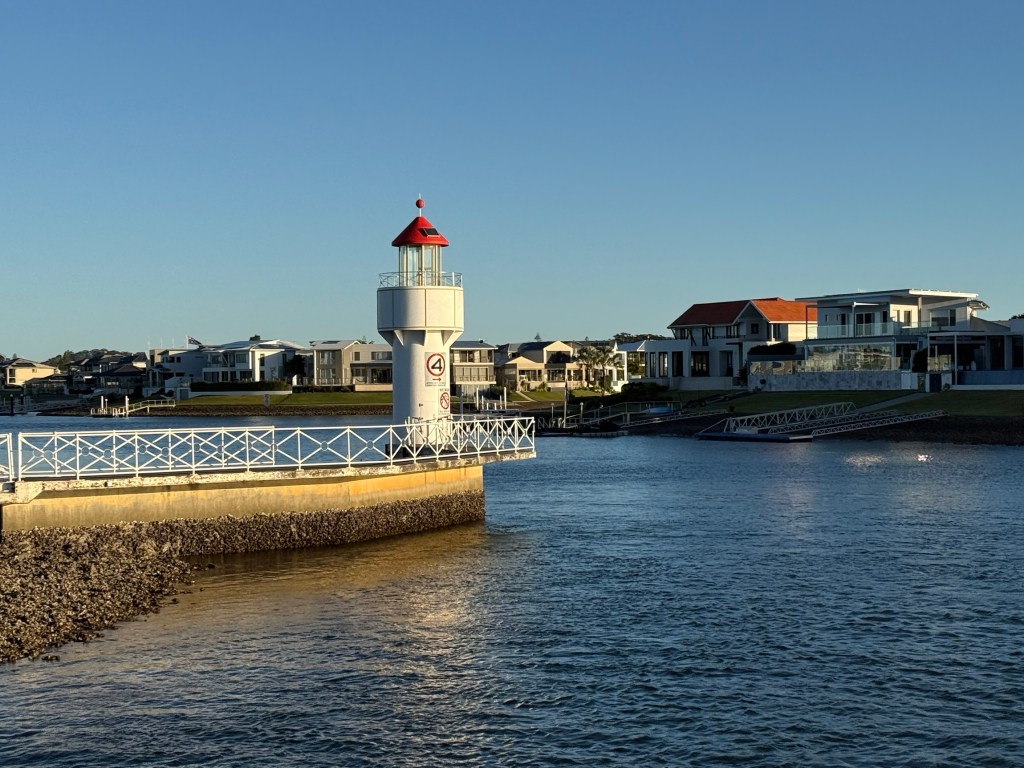
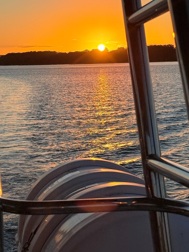
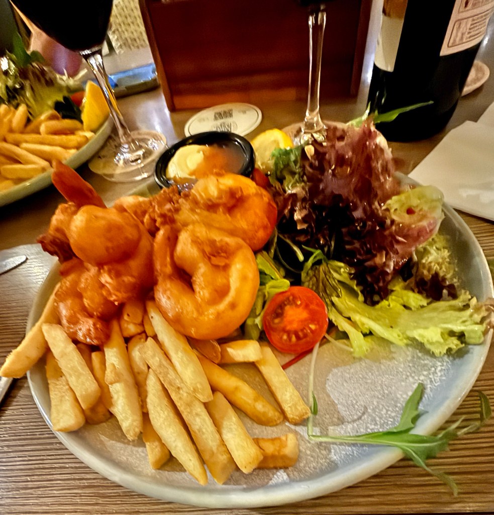
We followed the cruise with dinner at the Royal Hotel, a restored version of the 1880s original. Some nice local battered prawns, with chips of course.
There is a great coastal walk that starts up the river, runs along the breakwall and then down south past the beaches and headlands to Tacking Point Lighthouse.
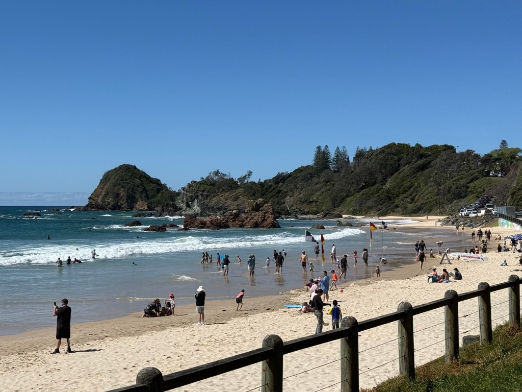
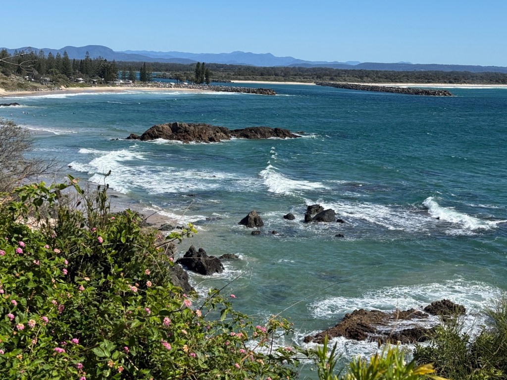
Allthego found this to be a compulsory excursion, Homealone remained at base until receiving the call for a pick up at Tacking Point about 3.5 hours later.
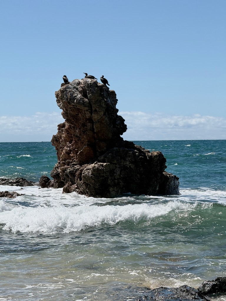
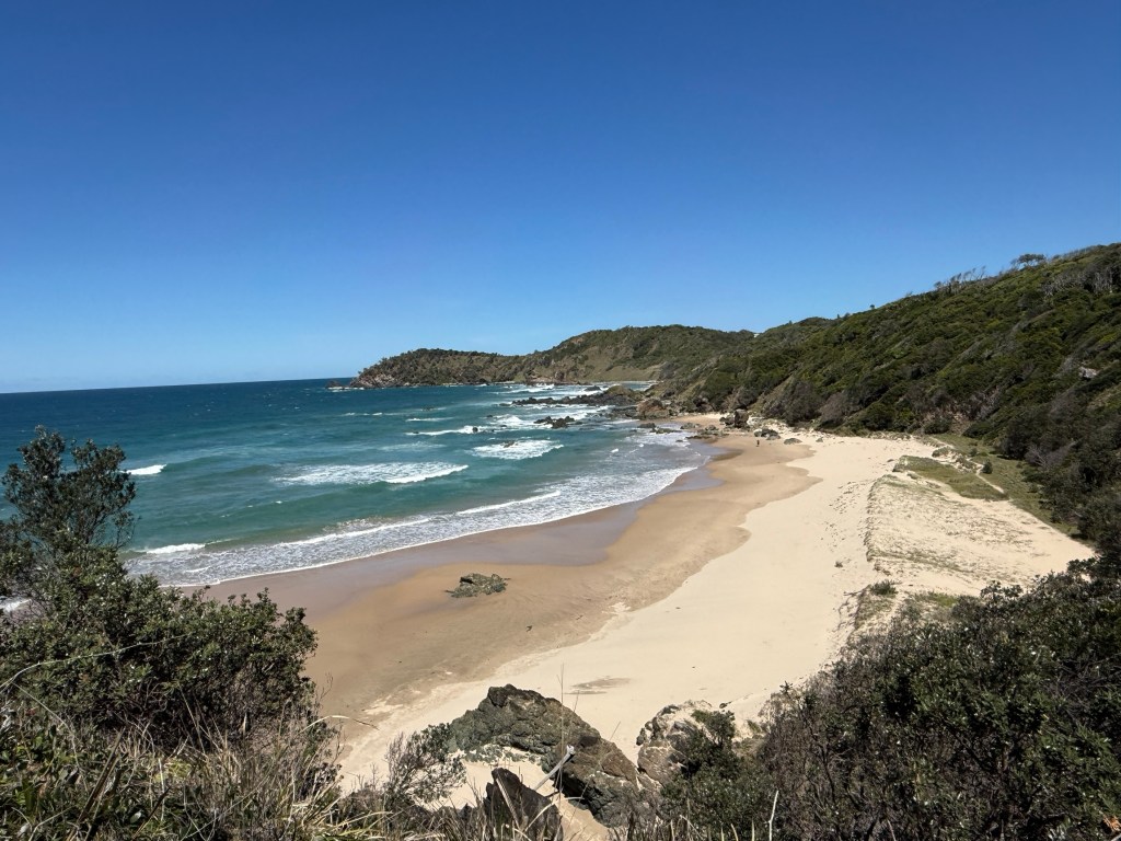
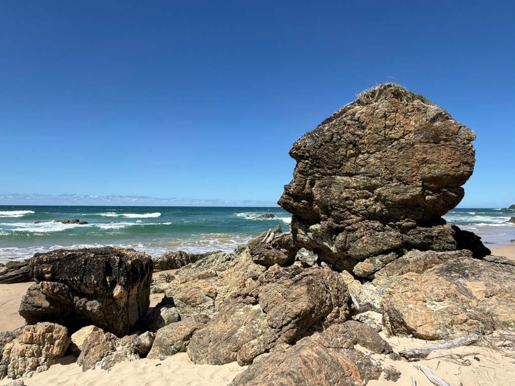
The section from our camp ground to Tacking Point is about 7.5km. It is mostly easy going through the bush and along cliff lines, a couple of stretches are on beaches that test out the old calf muscles.
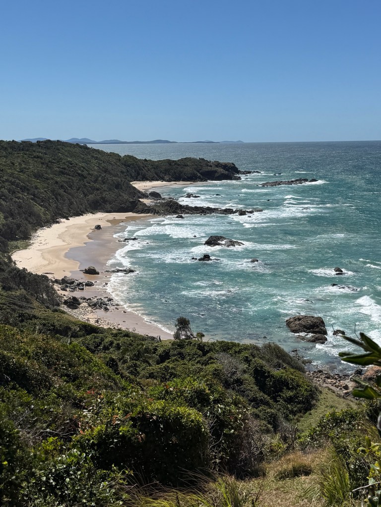
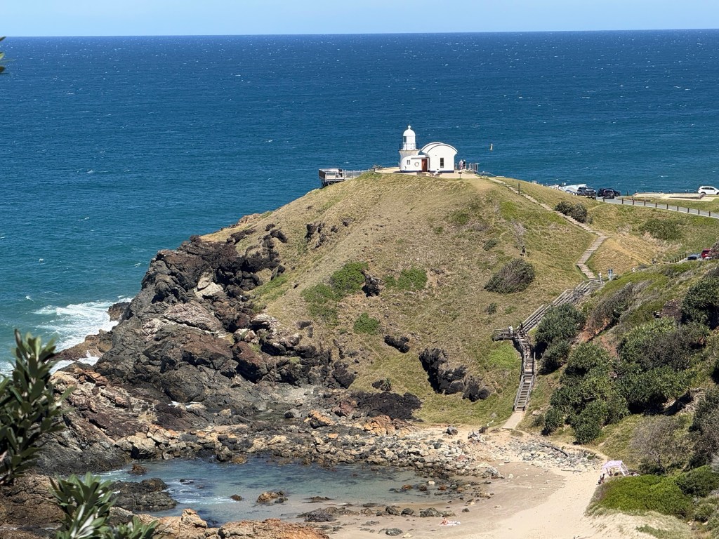
Tacking Point Lighthouse was named by Matthew Flinders in 1802 while tacking up the coast in his ship the Investigator. The lighthouse was built in 1879 and manned until 1919.
It was a great walk through the coastal environment, the drive back to the campground very welcome. There is a bus that does the job for those without a pick up!
Next stop is Yamba.
Port Macquarie and some relos first
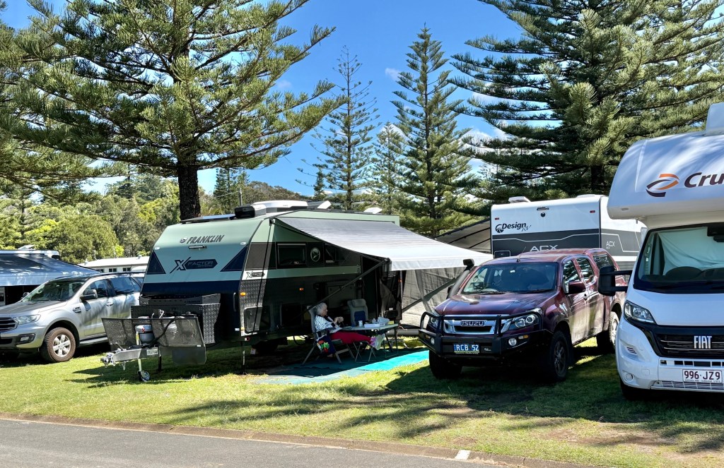
We have made it through to Port Macquarie after having a night in Wingham with Leanne’s sister Sandra and Don.
It was a bit of a grim afternoon and early evening in front of the box watching the Knights clean up the Panthers in the NRL. Sandra is a big Panthers fan, she was generous in defeat! The Panthers with the Knights down a man for all the second half couldn’t organise their attack to beat a 12 man side, great defence though from the Knights.
The next morning the four of us had brunch at a local cafe in town.
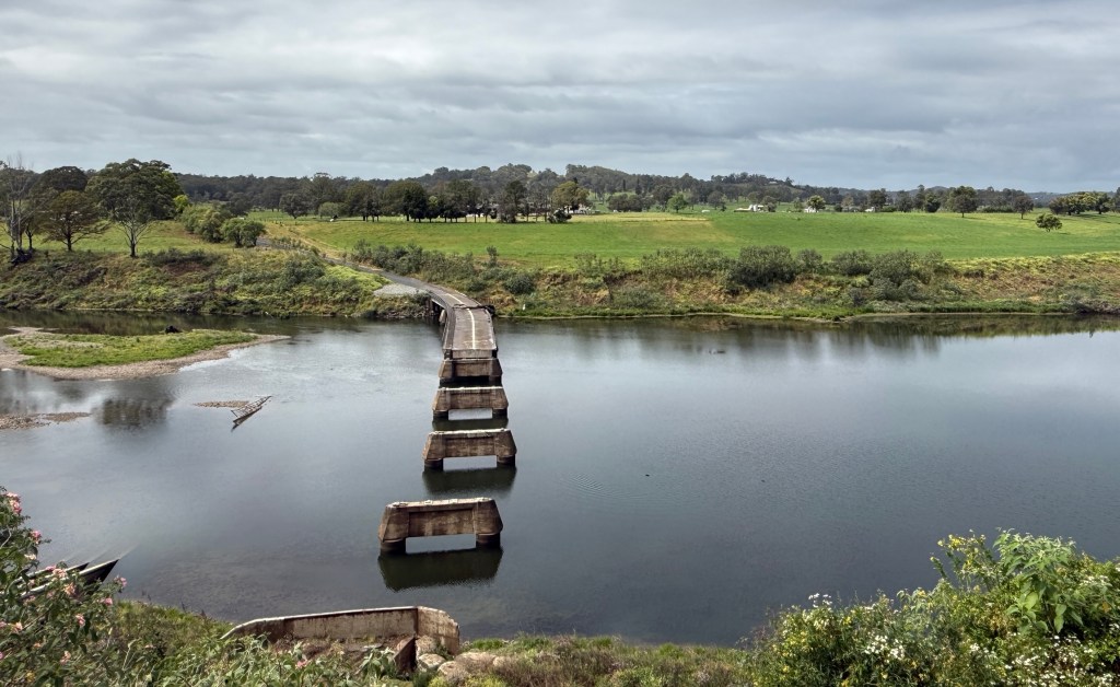
On the way in we had a detour to see the flood washed out bridge over the Manning, to be replaced in due course. Timing uncertain.
Brunch was rather good, some generous serves as well. We do all like our food!
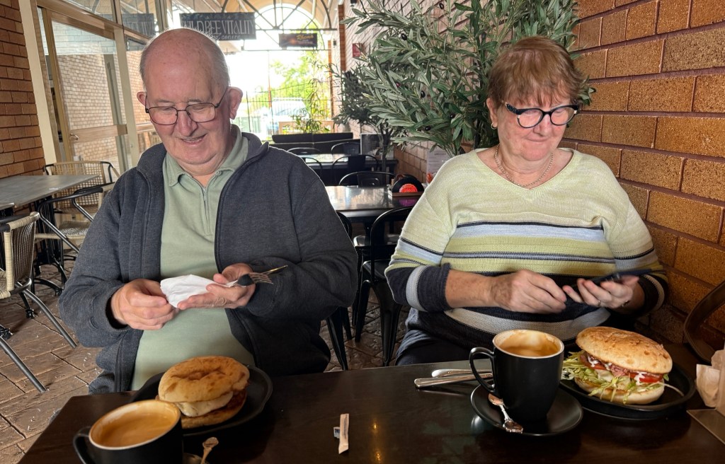
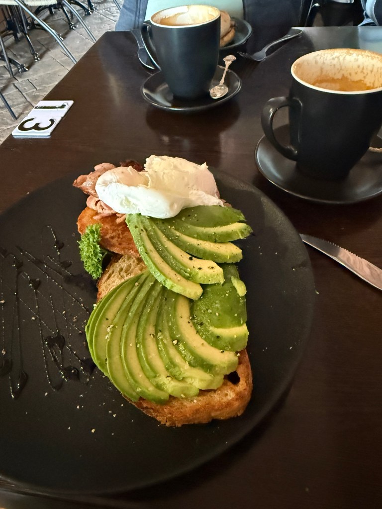
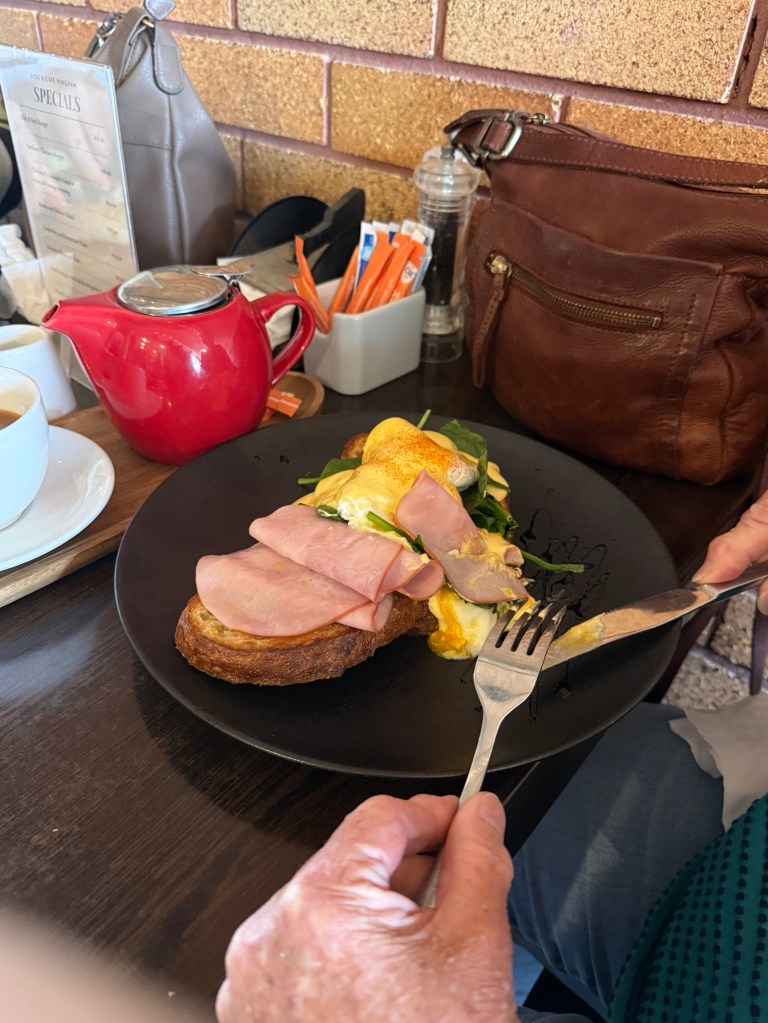
The town was buzzing for a Monday morning, cafes all busy. It seems that a few young ‘uns have taken over the cafes from the oldies and brought a bit of energy to the game. The street scape has also been freshened up with some new shop fronts and murals.
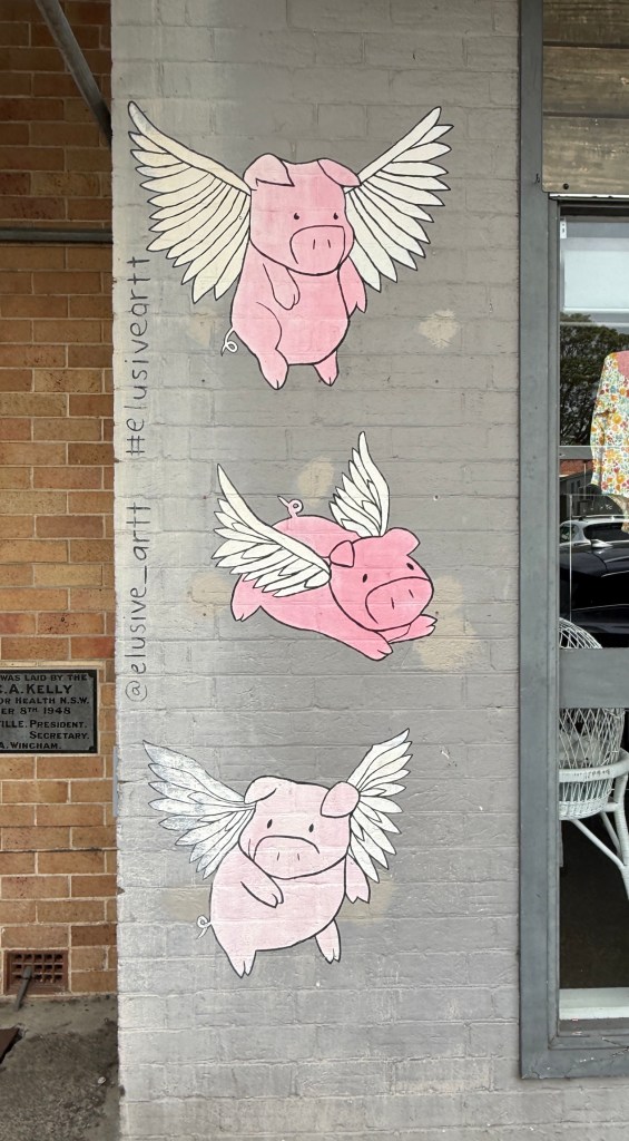
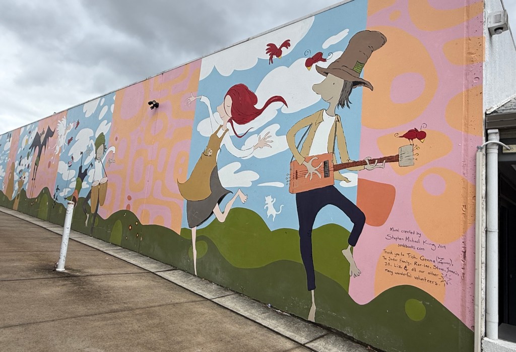
After brunch we said our farewells and got back on the road to Port Macquarie, about 90km up the highway.
We had made the booking in the CP on the ‘Express Checkin’ basis. What this actually means is you don’t talk to anyone about your site. I suspect a machine allocates the site; you then get an email, after paying, with the details, entry codes, park rules etc. Don’t have to speak or deal with anyone, just drive on in! All a bit soulless! The odd thing is at the end of your stay you get a survey asking you to nominate someone on staff who gave you great service. Strange PR! Enough of this rant. Overall the park was not too bad for school holiday times.
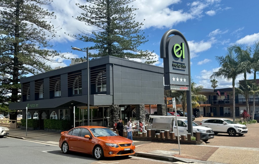
Now one of the reasons for dropping into the ‘Port’ was to check out the old motel we stayed in 50 years ago on the honeymoon. The then Motel El Paso, Room 506. Would they let us check it out? Allthego gave the same banter about staying there recently and leaving something in the room. She said we couldn’t get in Room 506 as there was someone in it.
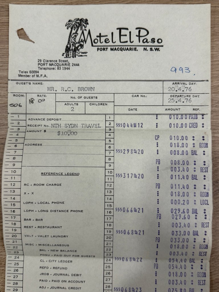
The reception lady was eager to get a copy of our old bill to show the new (latest) owner! He came out and was keen to have a chat about how the place had been refurbed and expanded since our visit in 1976. Accomodation prices had gone up too, no longer $18 a night. Name changed to ‘El’ Motor Inn. He wanted to get rid of the Mexican flavour!
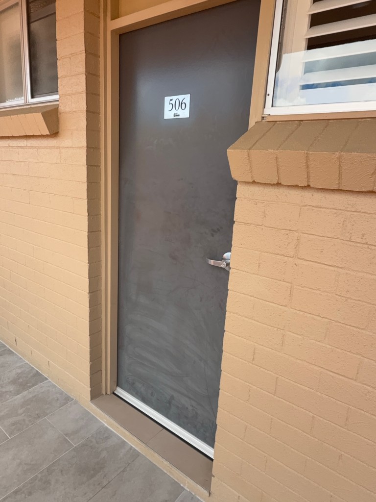
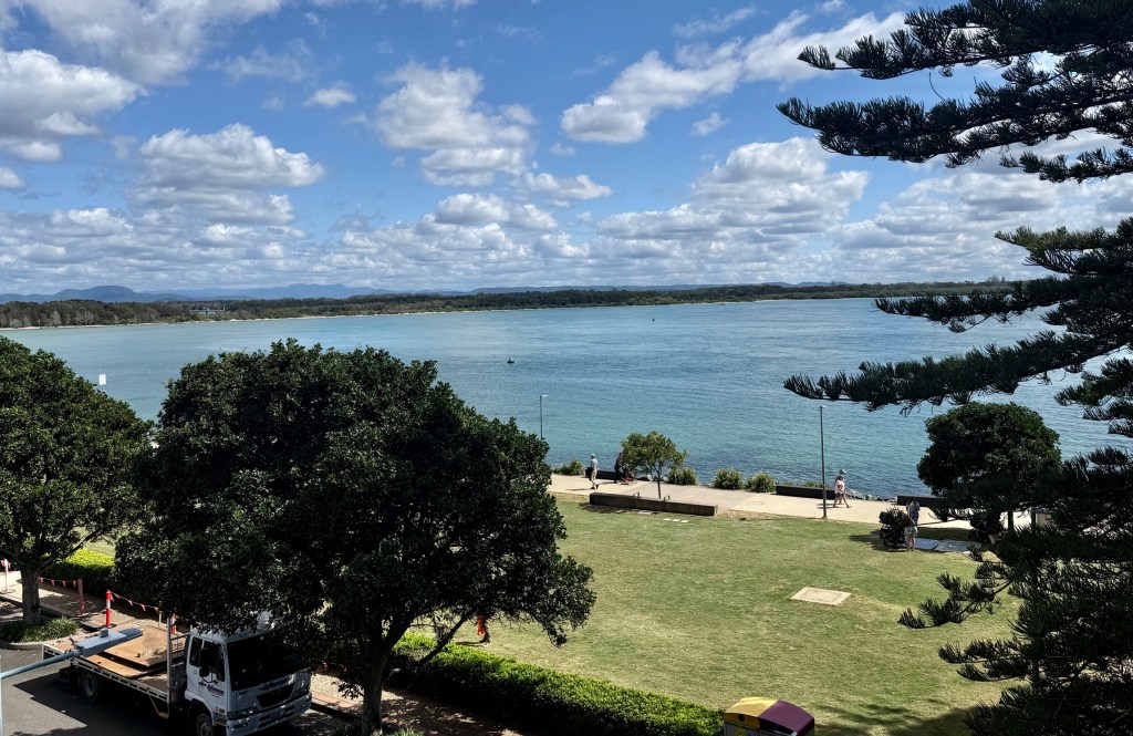
He was ok for Allthego to go and have a look at the view from the verandah outside 506. A cleaner was nearby and granted access into 510. She had worked there for 24 years and said the rooms were the same layout.
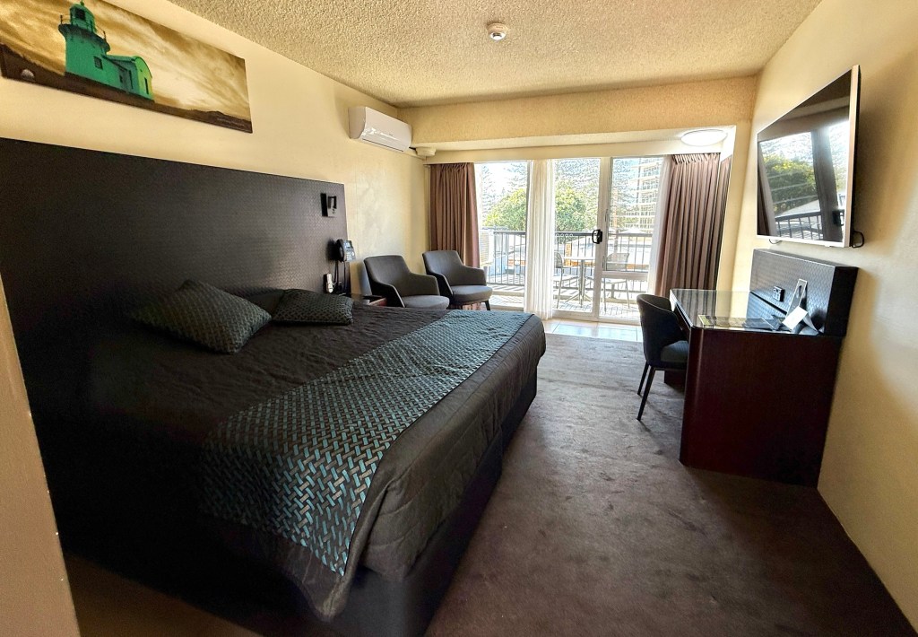
A good visit with a friendly reception! Now back to the caravan!
Gloucester and the Tops
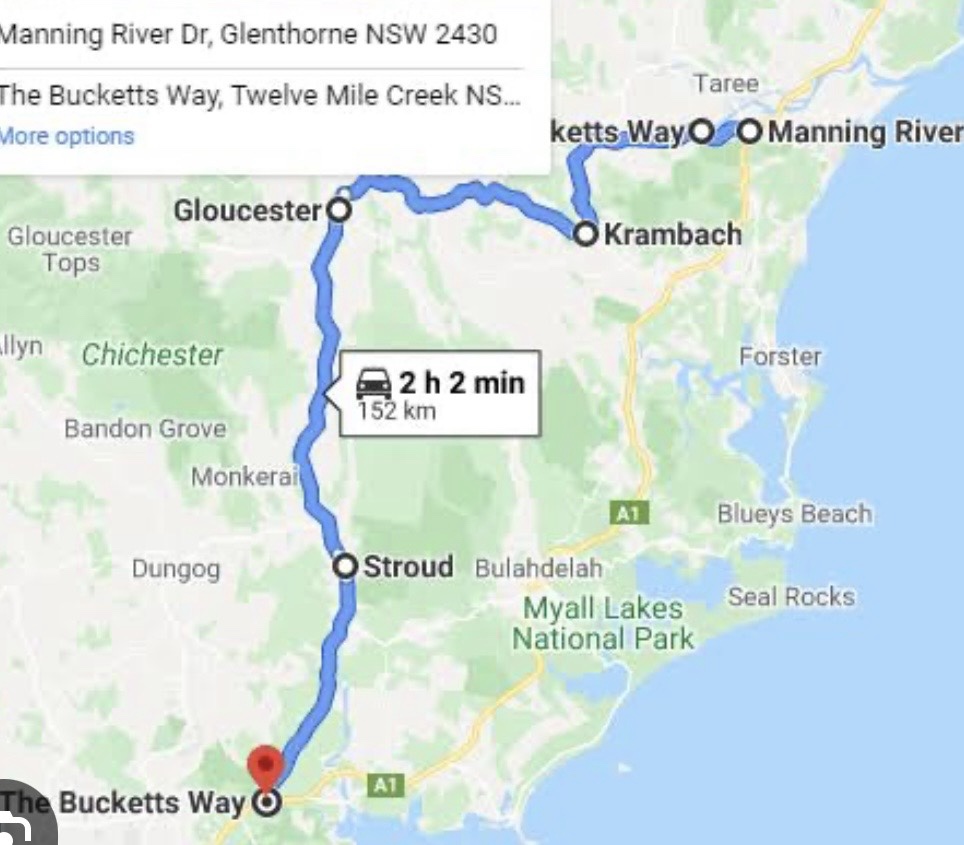
It is a short drive east from Dungog to join The Bucketts Way near Stroud. This 150 km rural road links Twelve Mile Creek, just north of Raymond Terrace on the Pacific Hwy with Taree in the north. A map helps explain the route without too many words!
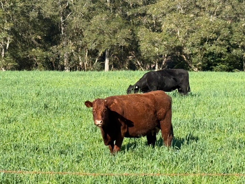
We have seen the signs for this road before and have always wondered where it went. So we have now found out. Lots of rolling hills, valleys, beef and dairy cattle and a few sheep too. Up to their knees in the grass.
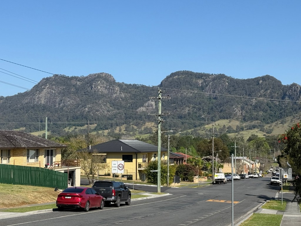
Our next destination is the town of Gloucester, about half way along the Burketts Way. The road is named for the unusual shaped ‘Bucketts’ mountain range that looms over the town, remnants of past volcanic activity.
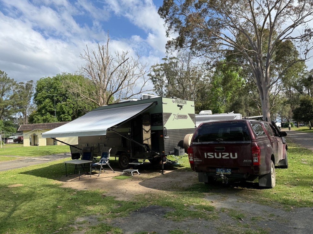
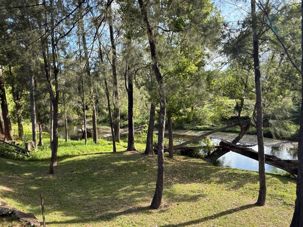
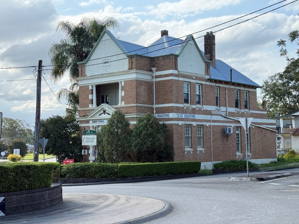
We are using Gloucester as our base for having a quick look at the Barrington Tops National Park. Apart from the southern sections, to the north of Dungog, the main visiting area is further north and to the west of Gloucester. There it is split into two sections ‘Gloucester Tops’ and ‘Barrington Tops’.
We decided to head to Gloucester Tops for our first days exploration. The ‘Tops’ (where the walks are) are at the end of the road and 60 kms from Gloucester, 35 km is unsealed. Six river crossings, fairly benign at about 10cm deep. After rain though might be tricky. Says 90 minutes but it took us 2 hours.
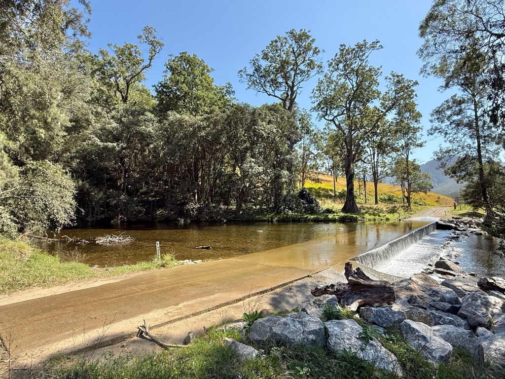
The road is said to be two wheel drive and it is, but we found it nice to have four wheel drive. Quite narrow and steep in several sections, a bit rutted as well, with drop offs into the valleys below. Homealone found it all a bit average and off putting for a friendly experience. But we eventually got to the end.
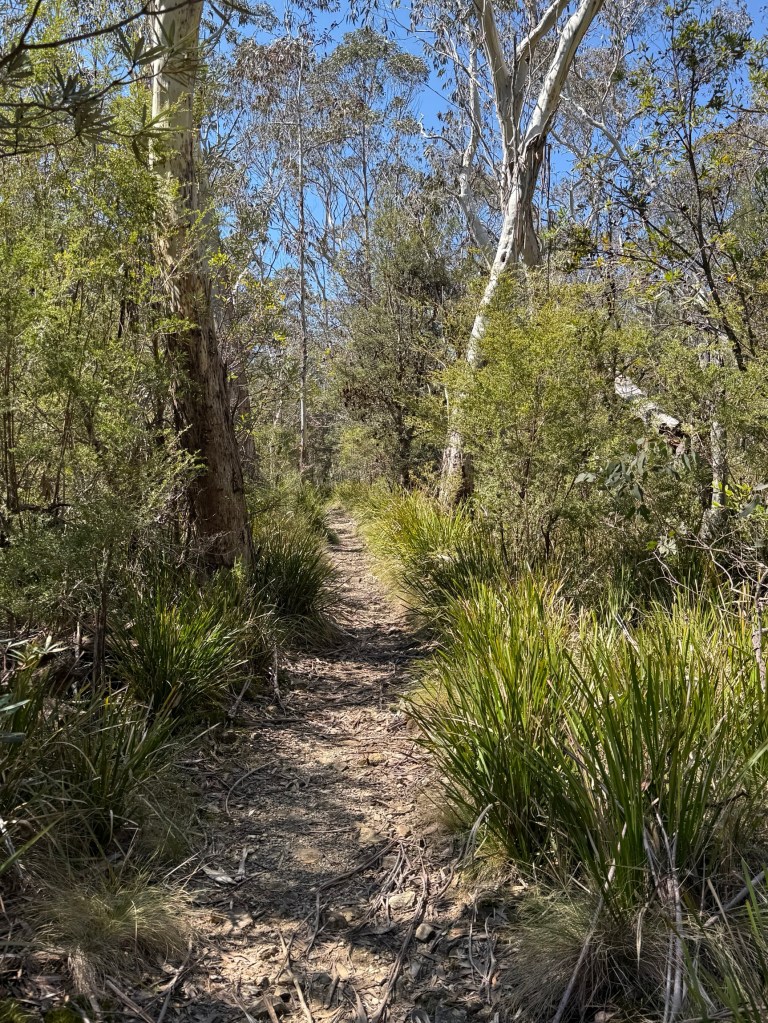
Allthego was hoping to do a couple of shortish walks here. The first was to do the Antarctic Beech Forest Track. This is an area of rare vegetation at relatively high altitudes, 1400-1500 metres, generally snows up here in winter. The beech is a remnant rainforest tree that reproduces via suckering, dating back to Dinosaur days.
Didn’t get all the way there though, we had missed the walk entrance and an alternative route proved too far a trek. Allthego turning back after half an hour. It would have meant a late return with the possibility of Homealone sending out a search party.
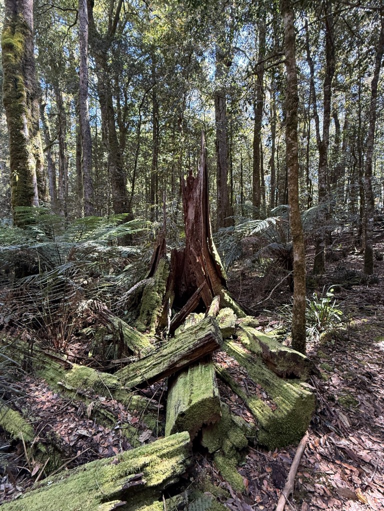
The second walk was a short circuit to see the Gloucester Falls.
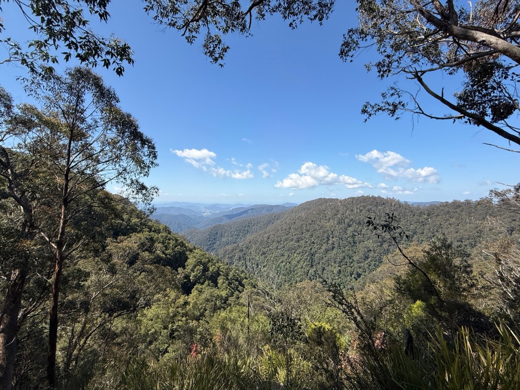
The Gloucester Falls were a little disappointing. A chain saw is needed to clear the vegetation that blocks the view!
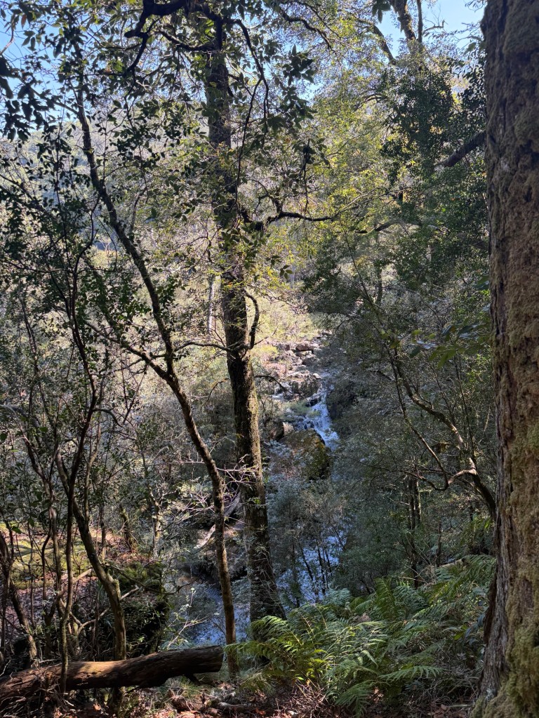
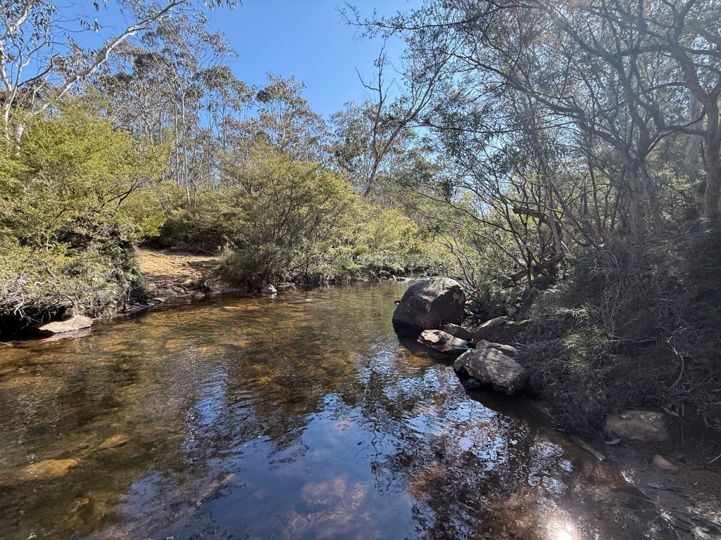
We had a late lunch at the picnic area next to the river upstream from where it plunges over the falls.
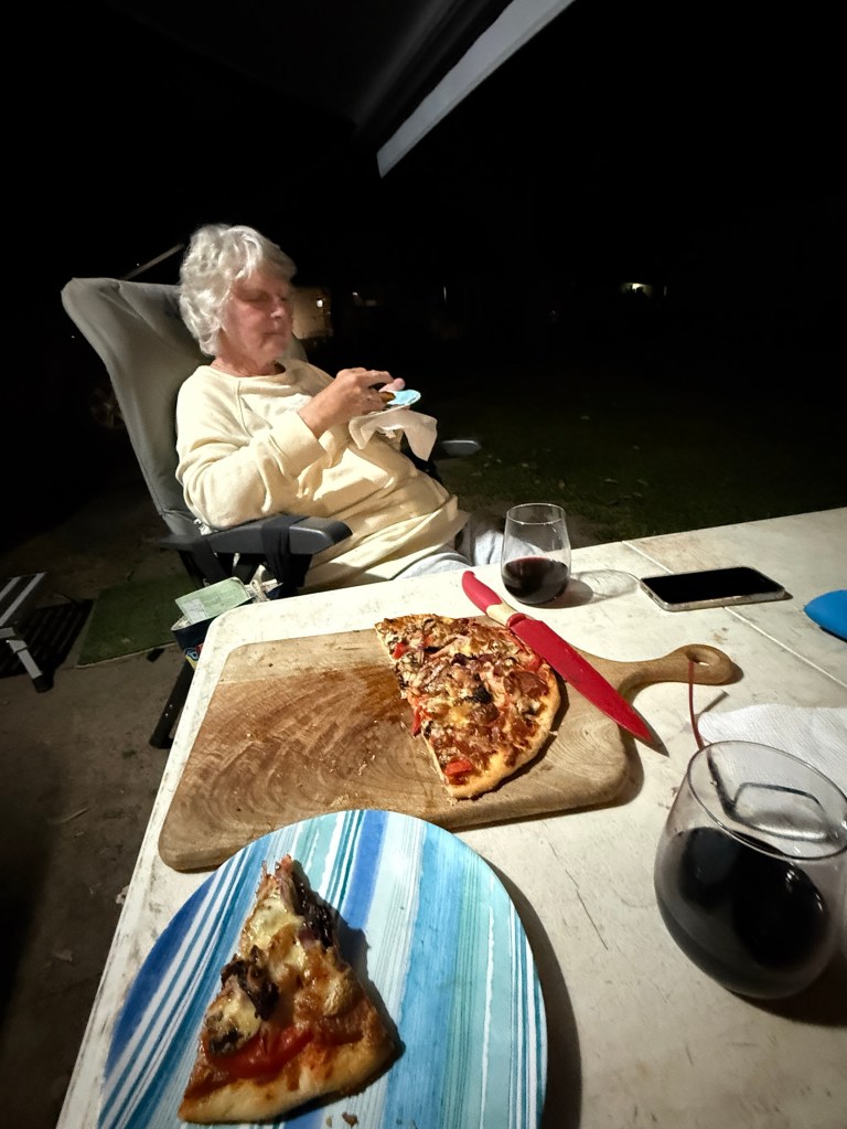
Back in the truck we started back for our Gloucester camp site. Seemed a bit easier on the nerves going down than coming up. Always good when you can see the bottom! We made it back in good time for an Allthego pizza in the Webber for dinner.
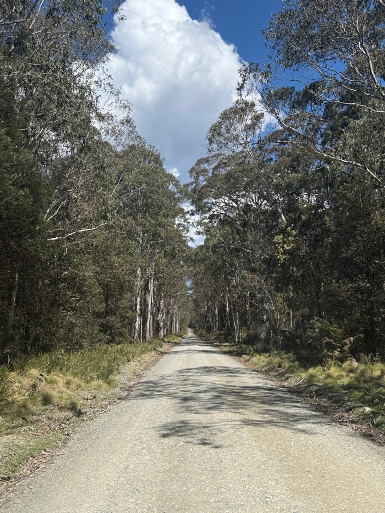
Day two saw us heading off to the Barrington Tops area. This is about the same travel distance as to Gloucester Tops. The last 23 km is a good unsealed road, a highway compared to the Gloucester Tops road. No water crossings, except over bridges!
If you follow the road past the ‘Tops’ it takes you through to Scone. The road though is not recommended for caravans.
Gloucester is also the start of Thunderbolts Way, and the Forest Road branches off it a little way out of the town. We have been on parts of Thunderbolts way earlier in this trip around Walcha, Armidale and Uralla.
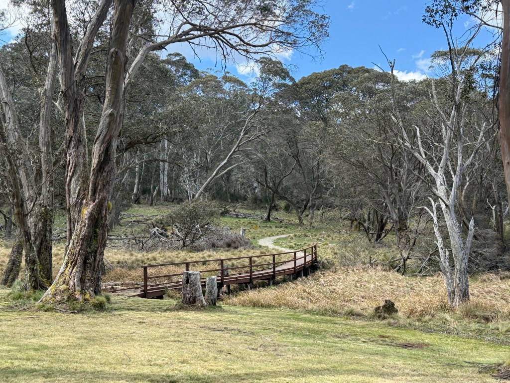
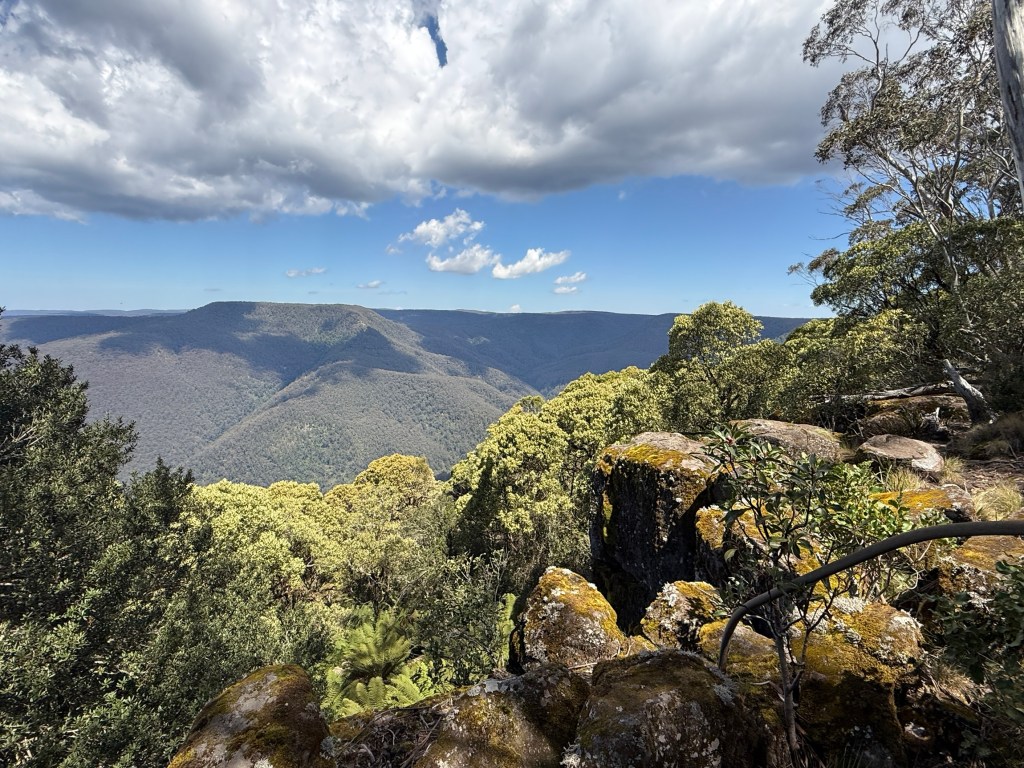
Further along the road is Polblue Swamp. The camping ground here is the highest altitude camp site in Australia, around 1550m. This moss bog is one of the largest on the Tops, consisting of sphagnum moss. It acts as a huge sponge, soaking up water in the wet and releasing it slowly creating a constant flow of water in the mountain rivers.
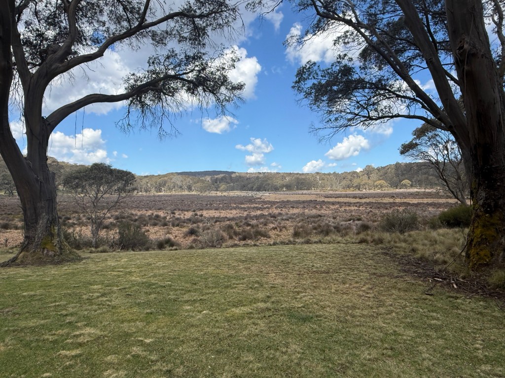
Allthego went for the 3 km stroll around the swamp. There are an amazing number of little creeks that flow into the swamp from the surrounding highlands. One of these is Polblue Creek, we see Polblue Falls further along the road before it reaches the swamp. Polblue ultimately trickles out of the swamp and ends up in the Hunter River on the way to Newcastle via Glenbawn Dam, where we camped, near Scone.
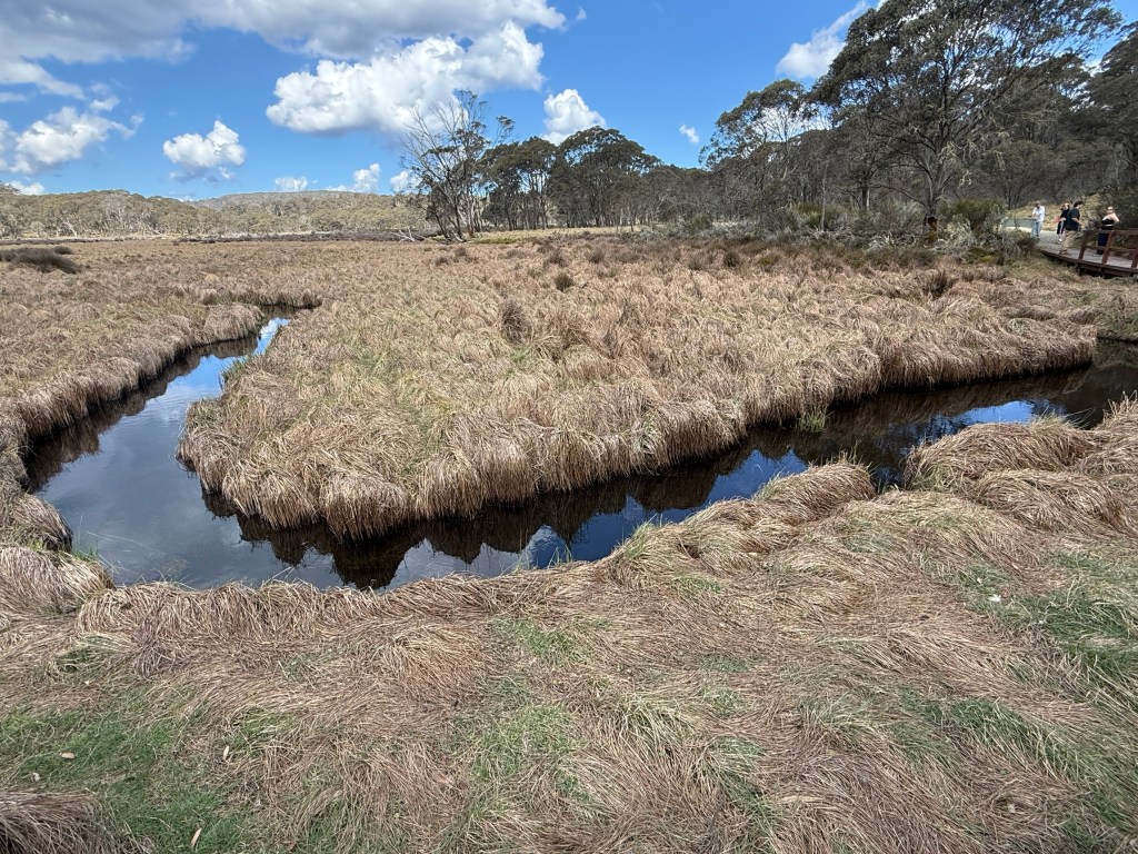
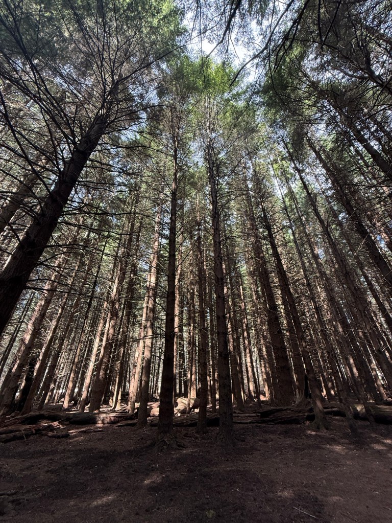
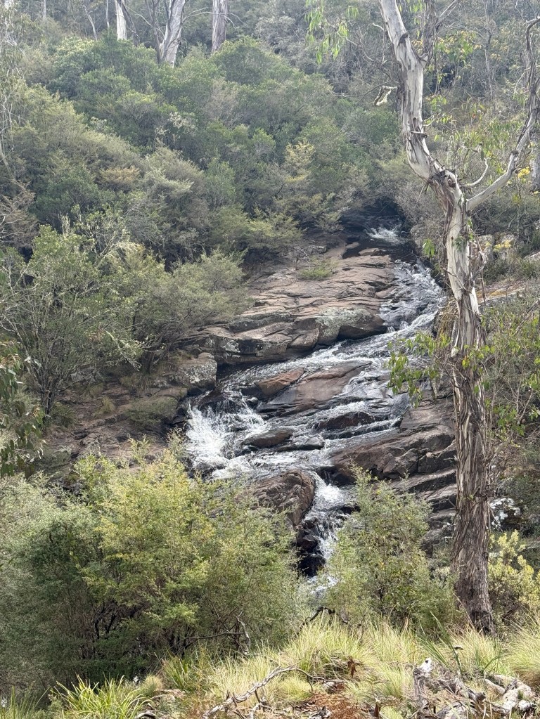
Polblue Falls was the furtherest we went along the Forest Road before turning around and heading back to Gloucester. Couldn’t resist though doing a 6km detour down to the Manning River Campground.
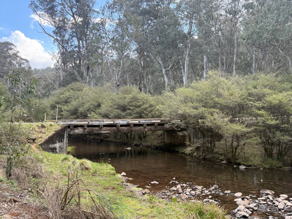
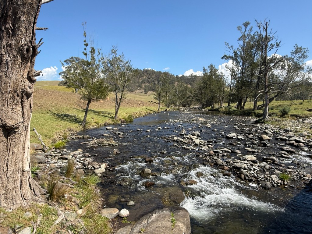
This is where the Manning River begins its journey to the sea near Taree. It flows north east whereas the Hunter flows south east off the Barrington Tops. Two of NSW great coastal rivers.
The Manning is a unique river in the Southern Hemisphere. It is the only double delta river having two permanent entrances to the river, one at Old Bar and the other at Harrington. It is also one of only two rivers in the world to have permanent multiple entrances, the other being the Nile. Interesting stuff! Is Wikipedia right? I suppose so.
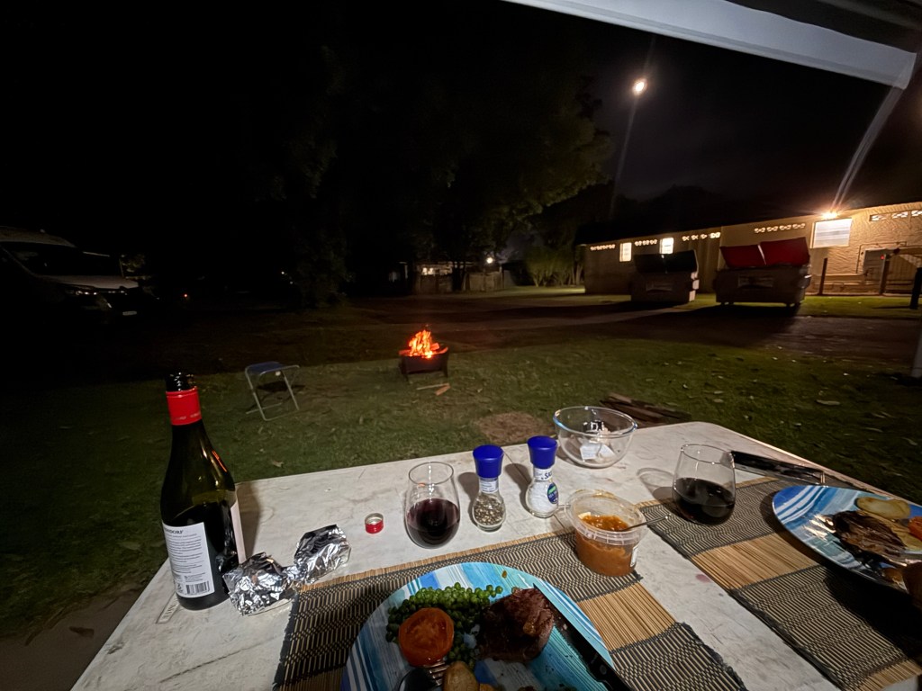
Back in camp we had open fire BBQ steak for dinner under the awning. The fire had to be a little distant!
We next head to Wingham to visit Leanne’ sister Sandra and hubby Don. Will watch the Knights clean up the Panthers in the NRL.

