Gloucester and the Tops
It is a short drive east from Dungog to join The Bucketts Way near Stroud. This 150 km rural road links Twelve Mile Creek, just north of Raymond Terrace on the Pacific Hwy with Taree in the north. A map helps explain the route without too many words!
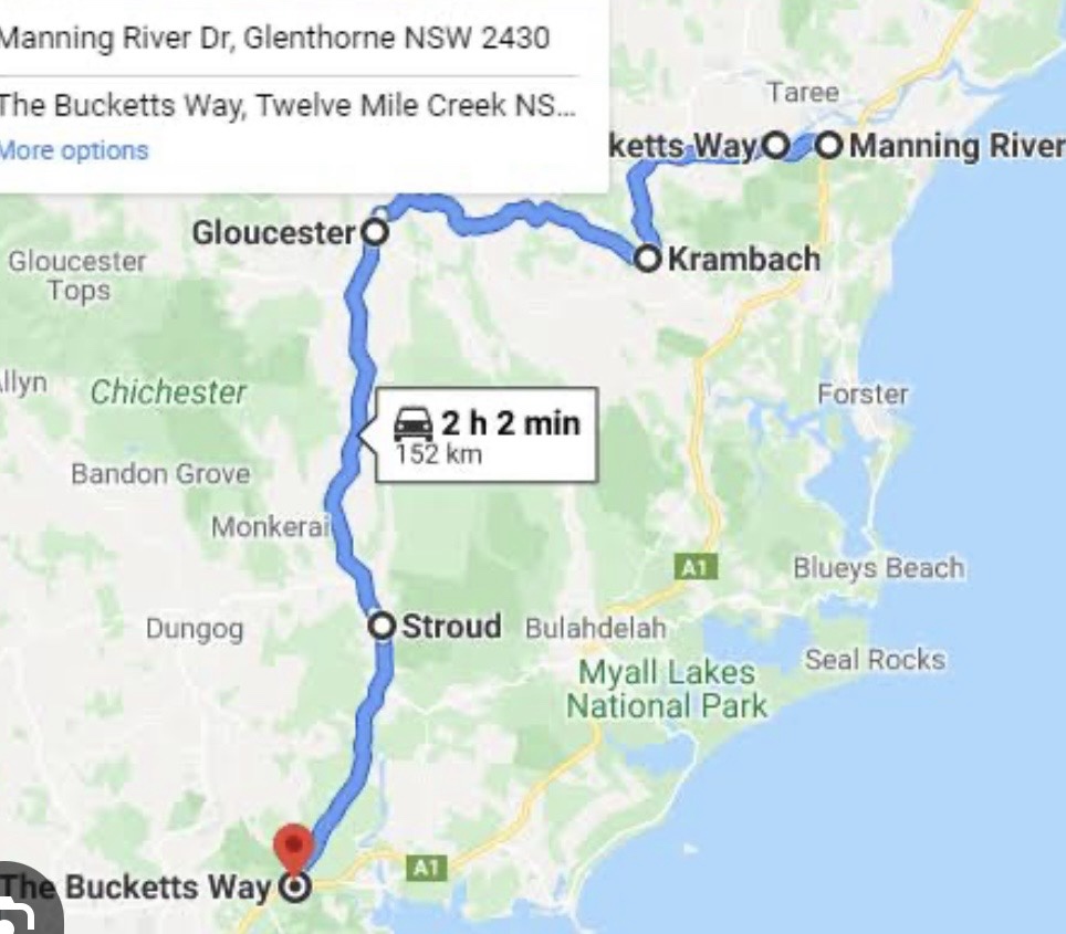
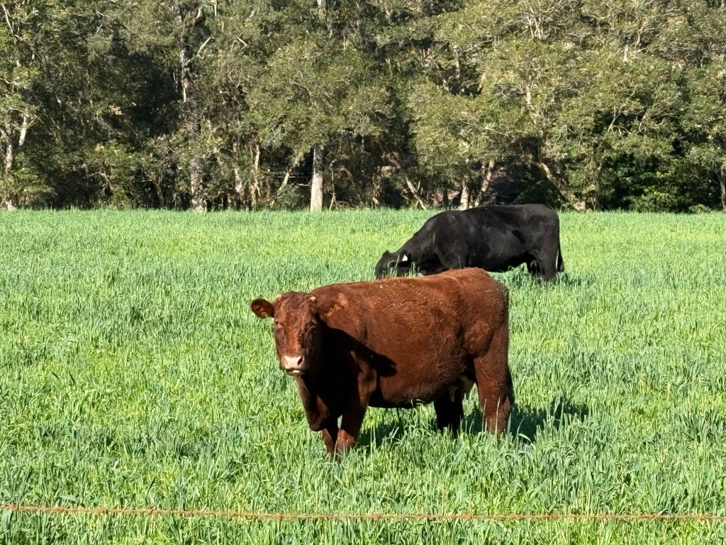
We have seen the signs for this road before and have always wondered where it went. So we have now found out. Lots of rolling hills, valleys, beef and dairy cattle and a few sheep too. Up to their knees in the grass.
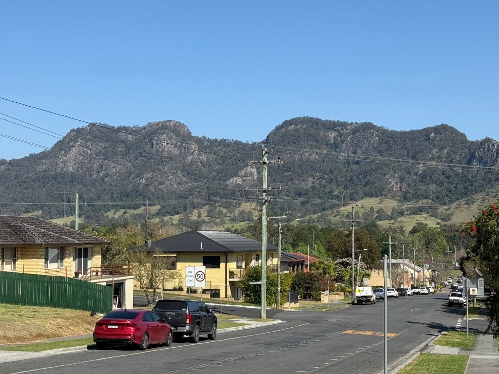
Our next destination is the town of Gloucester, about half way along the Burketts Way. The road is named for the unusual shaped ‘Bucketts’ mountain range that looms over the town, remnants of past volcanic activity.
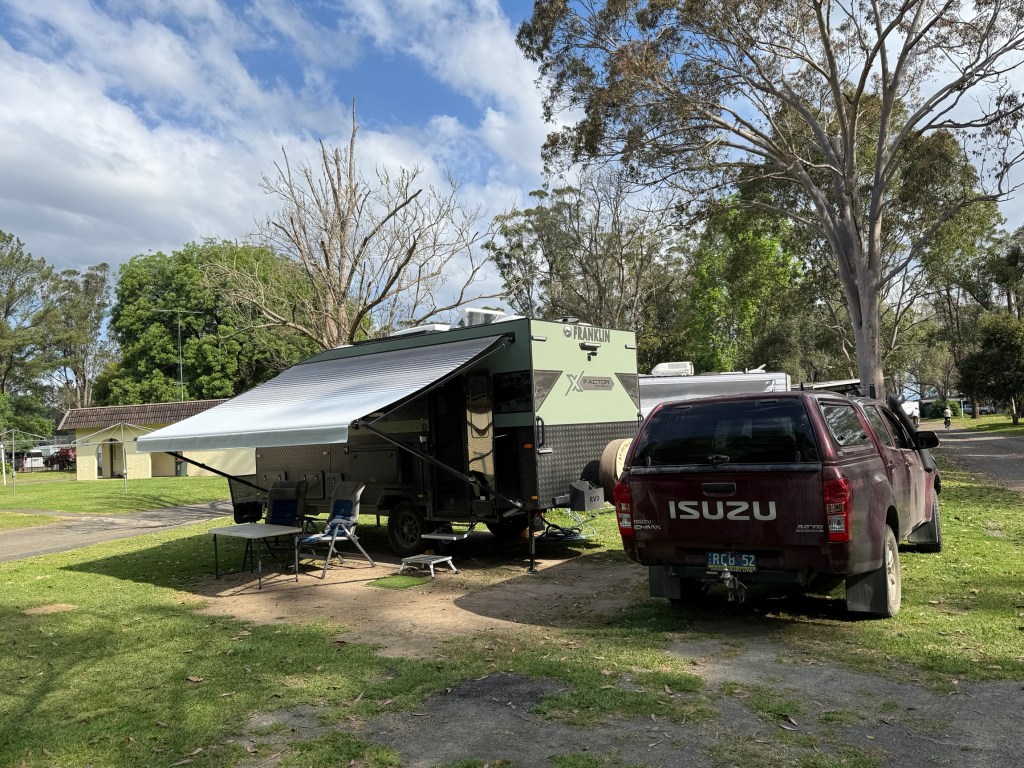
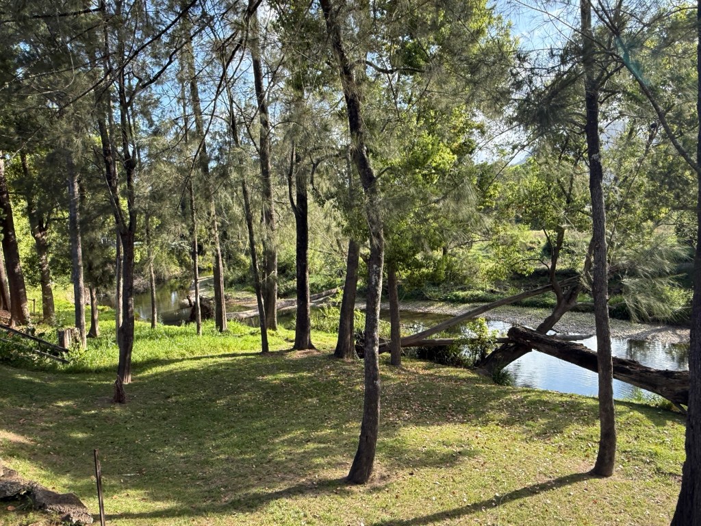
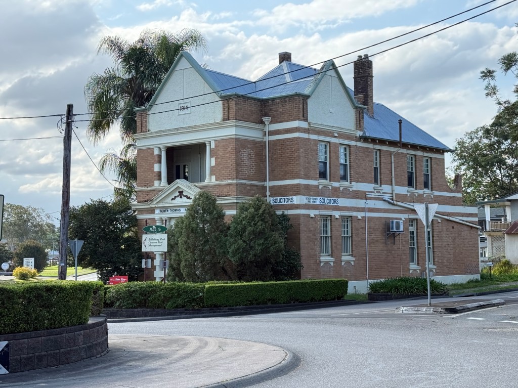
We are using Gloucester as our base for having a quick look at the Barrington Tops National Park. Apart from the southern sections, to the north of Dungog, the main visiting area is further north and to the west of Gloucester. There it is split into two sections ‘Gloucester Tops’ and ‘Barrington Tops’.
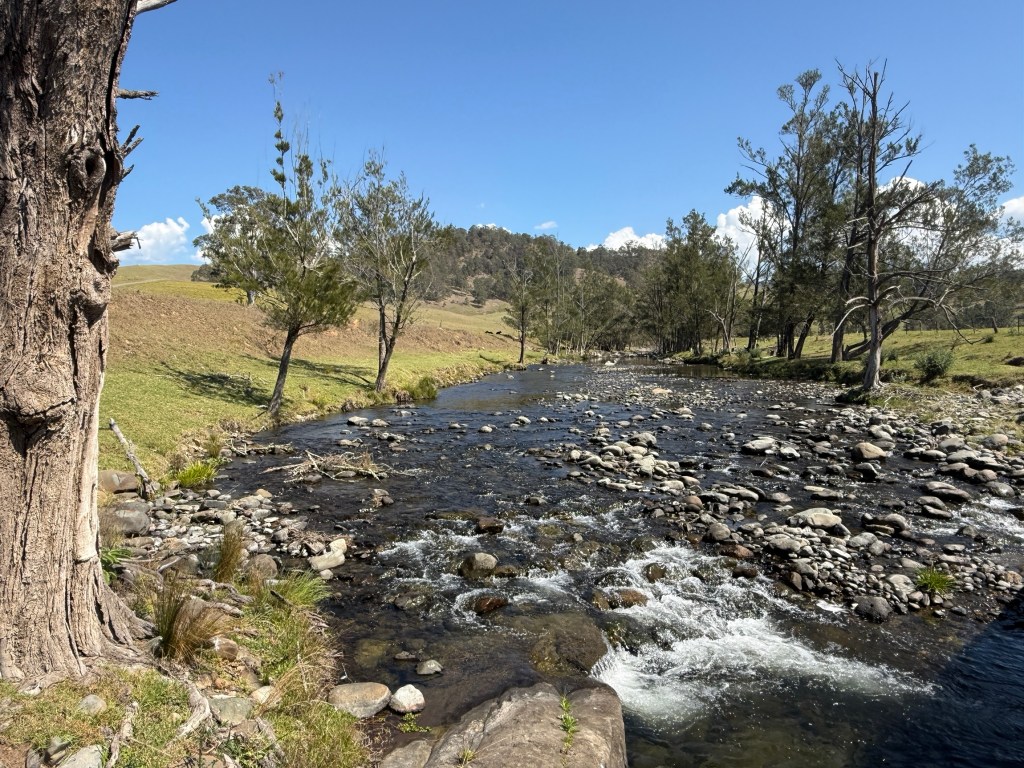
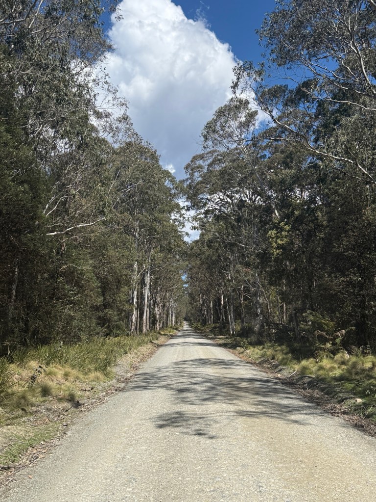
We decided to head to Gloucester Tops for our first days exploration. The ‘Tops’ (where the walks are) are at the end of the road and 60 kms from Gloucester, 35 km is unsealed. Six river crossings, fairly benign at about 10cm deep. After rain though might be tricky. Says 90 minutes but it took us 2 hours.
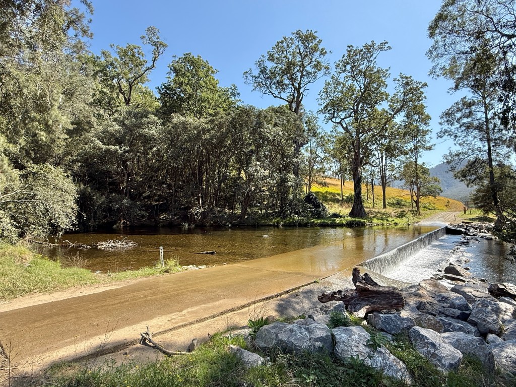
The road is said to be two wheel drive and it is, but we found it nice to have four wheel drive. Quite narrow and steep in several sections, a bit rutted as well, with drop offs into the valleys below. Homealone found it all a bit average and off putting for a friendly experience. But we eventually got to the end.
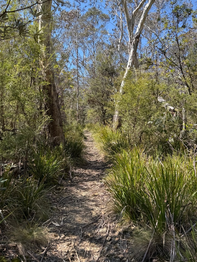
Allthego was hoping to do a couple of shortish walks here. The first was to do the Antarctic Beech Forest Track. This is an area of rare vegetation at relatively high altitudes, 1400-1500 metres, generally snows up here in winter. The beech is a remnant rainforest tree that reproduces via suckering, dating back to Dinosaur days.
Didn’t get all the way there though, we had missed the walk entrance and an alternative route proved too far a trek. Allthego turning back after half an hour. It would have meant a late return with the possibility of Homealone sending out a search party.
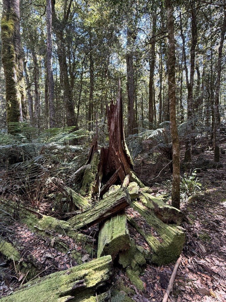
The second walk was a short circuit to see the Gloucester Falls.
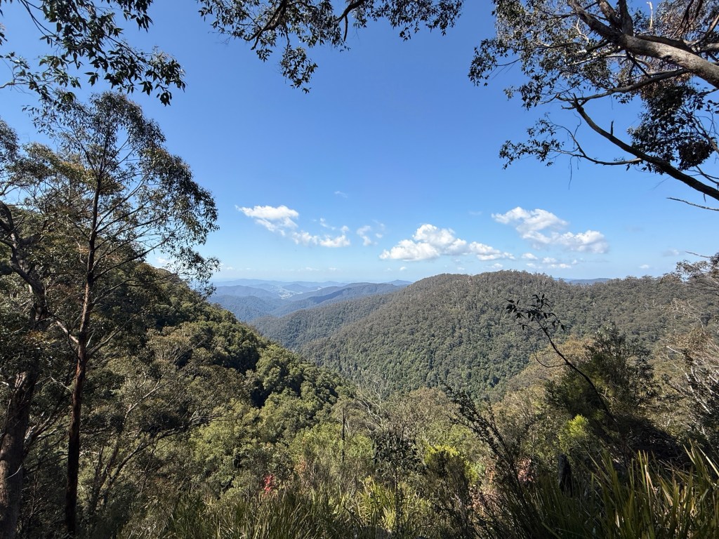
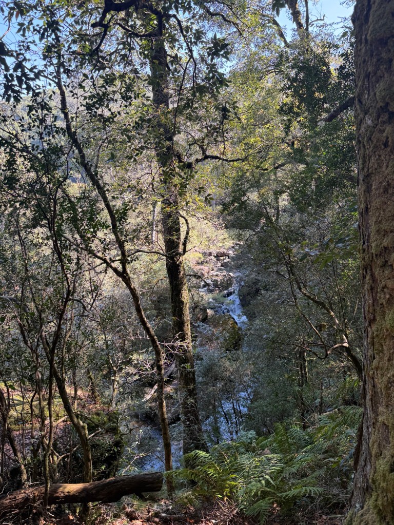
The Gloucester Falls were a little disappointing. A chain saw is needed to clear the vegetation that blocks the view!
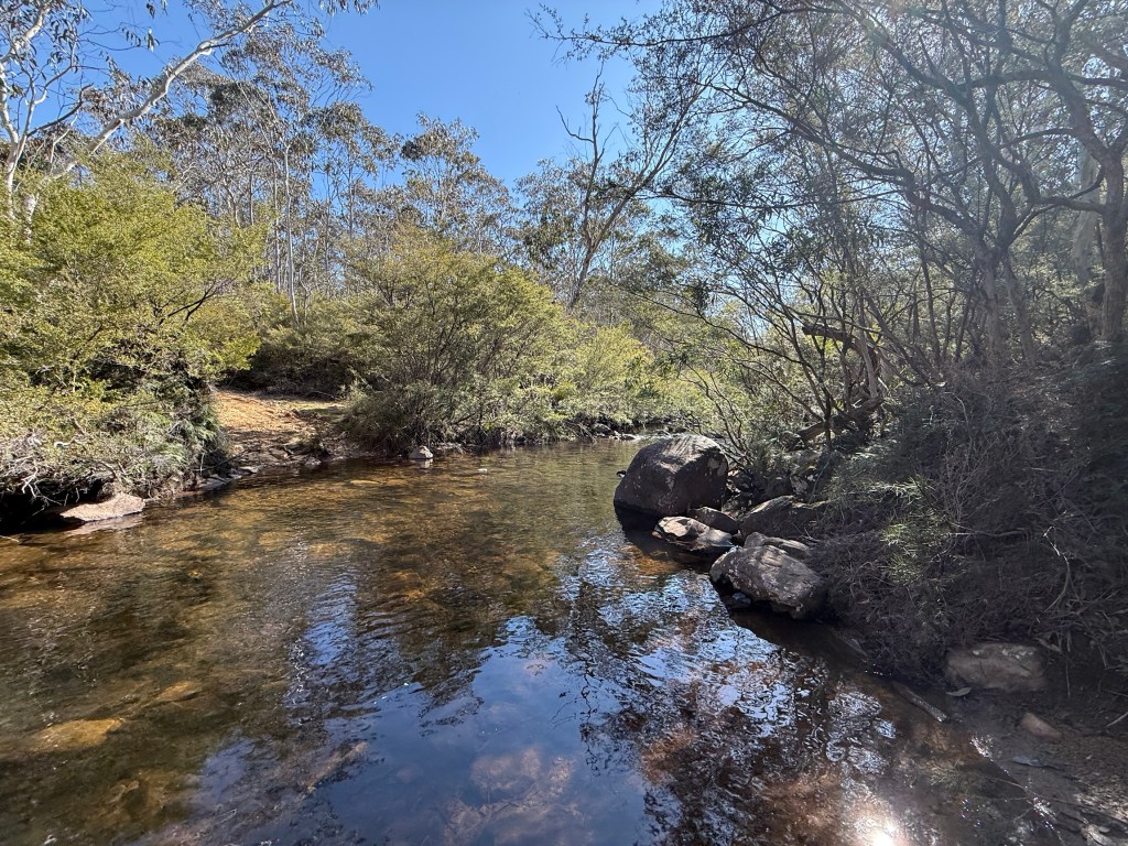
We had a late lunch at the picnic area next to the river upstream from where it plunges over the falls.
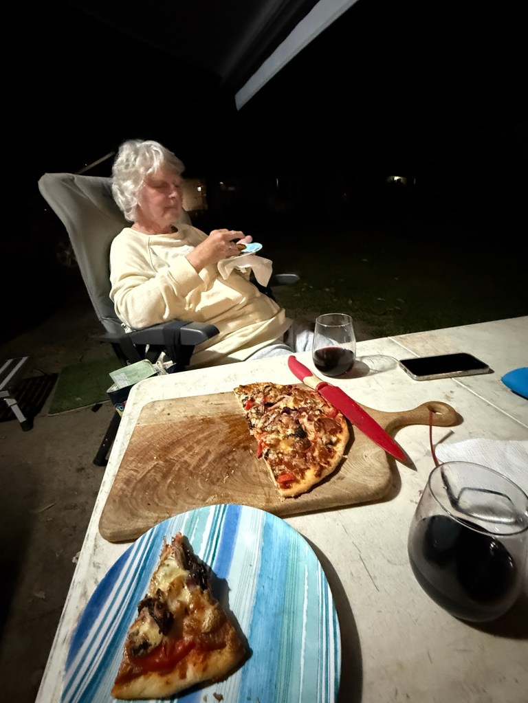
Back in the truck we started back for our Gloucester camp site. Seemed a bit easier on the nerves going down than coming up. Always good when you can see the bottom! We made it back in good time for an Allthego pizza in the Webber for dinner.
Day two saw us heading off to the Barrington Tops area. This is about the same travel distance as to Gloucester Tops. The last 23 km is a good unsealed road, a highway compared to the Gloucester Tops road. No water crossings, except over bridges!
If you follow the road past the ‘Tops’ it takes you through to Scone. The road though is not recommended for caravans.
Gloucester is also the start of Thunderbolts Way, and the Forest Road branches off it a little way out of the town. We have been on parts of Thunderbolts way earlier in this trip around Walcha, Armidale and Uralla.
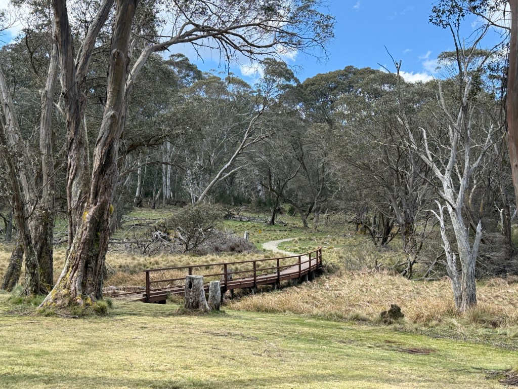
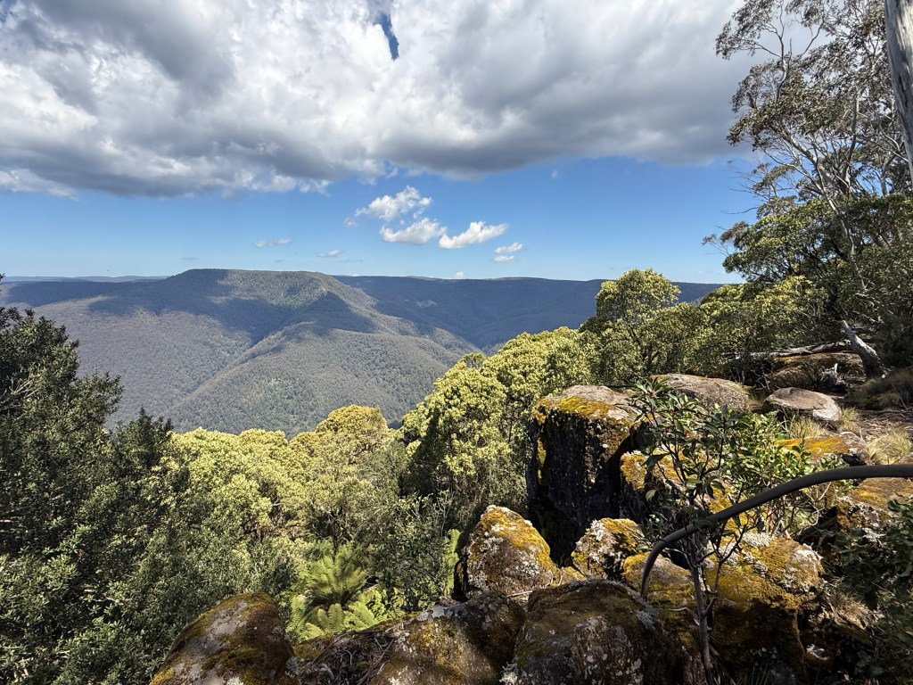
Further along the road is Polblue Swamp. The camping ground here is the highest altitude camp site in Australia, around 1550m. This moss bog is one of the largest on the Tops, consisting of sphagnum moss. It acts as a huge sponge, soaking up water in the wet and releasing it slowly creating a constant flow of water in the mountain rivers.
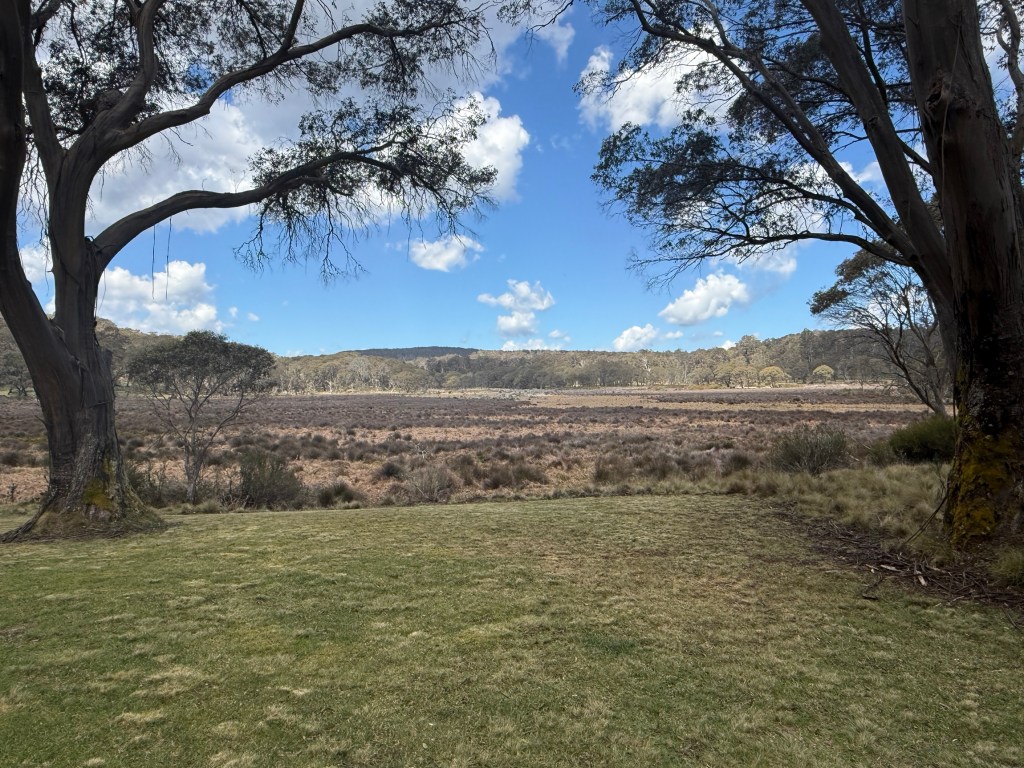
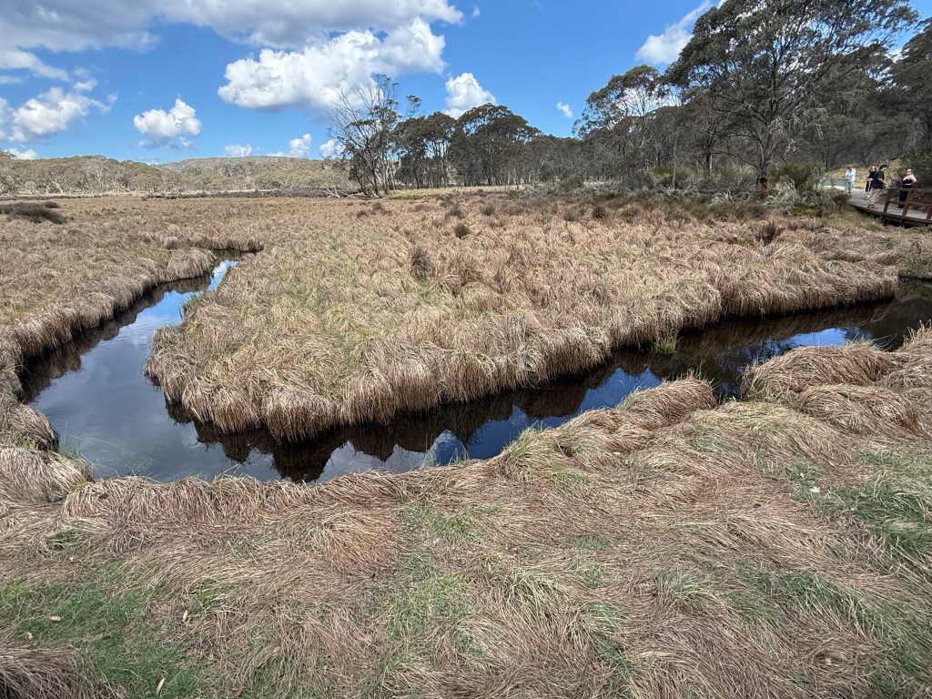
Allthego went for the 3 km stroll around the swamp. There are an amazing number of little creeks that flow into the swamp from the surrounding highlands. One of these is Polblue Creek, we see Polblue Falls further along the road before it reaches the swamp. Polblue ultimately trickles out of the swamp and ends up in the Hunter River on the way to Newcastle via Glenbawn Dam, where we camped, near Scone.
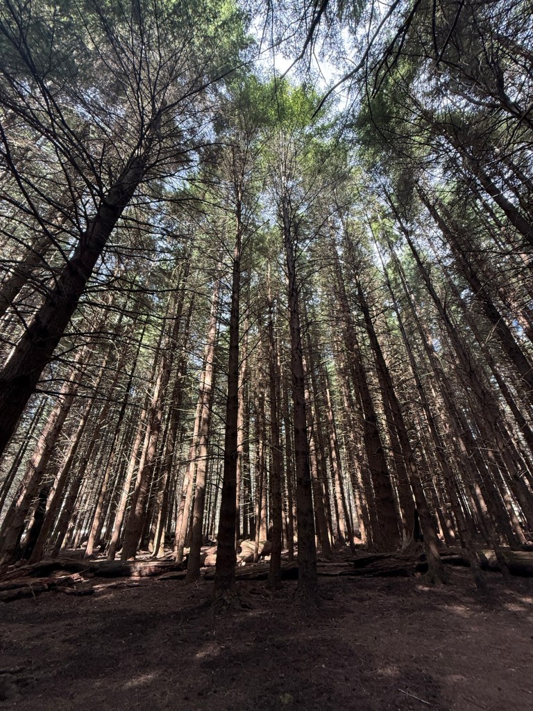
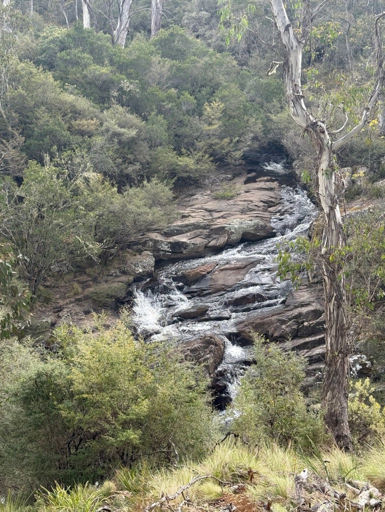
Polblue Falls was the furtherest we went along the Forest Road before turning around and heading back to Gloucester. Couldn’t resist though doing a 6km detour down to the Manning River Campground.
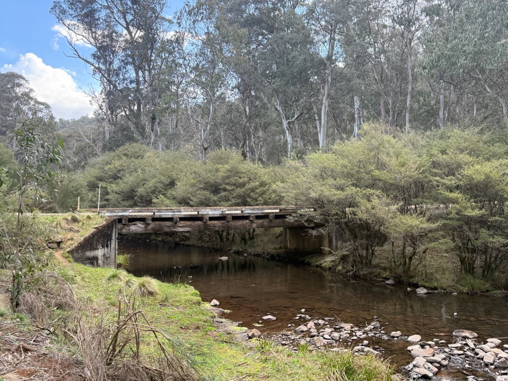
This is where the Manning River begins its journey to the sea near Taree. It flows north east whereas the Hunter flows south east off the Barrington Tops. Two of NSW great coastal rivers.
The Manning is a unique river in the Southern Hemisphere. It is the only double delta river having two permanent entrances to the river, one at Old Bar and the other at Harrington. It is also one of only two rivers in the world to have permanent multiple entrances, the other being the Nile. Interesting stuff! Is Wikipedia right? I suppose so.
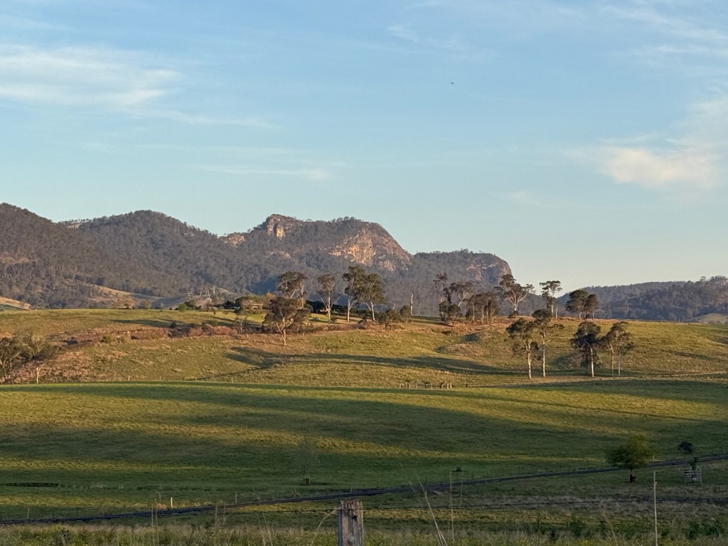
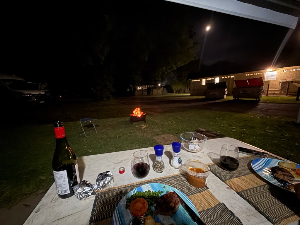
Back in camp we had open fire BBQ steak for dinner under the awning. The fire had to be a little distant!
We next head to Wingham to visit Leanne’ sister Sandra and hubby Don. Will watch the Knights clean up the Panthers in the NRL.

Posted on October 2, 2026, in New England Hwy 2026. Bookmark the permalink. Leave a comment.


Leave a comment
Comments 0