E toru ngā rā e hura haere ana māua ki Tāmaki Makaurau.
‘The two of us are out and about exploring Auckland for three days’.
That is roughly what the Maori words in the blog heading mean.
In a bit more detail, it translates as follows:
- E toru ngā rā: For three days
- e hura haere ana: out and about / exploring around
- māua: the two of us (excluding the person being spoken to)
- ki Tāmaki Makaurau: in/around Auckland
Interesting eh? Mr AI helped me put it together. Hope he got it right. Apologies if not. There are interesting differences between Moari and English; underlying word meanings and syntax. I’ll get back to English now, I struggle with that enough as it is!
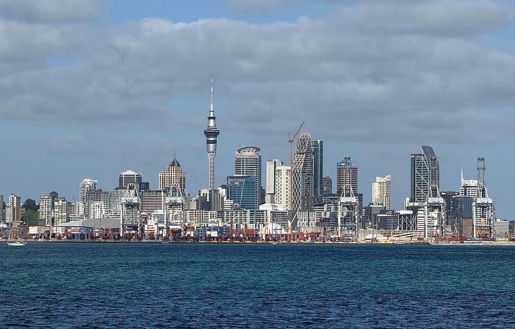
Our first excursion took us out for the day to Waiheke Island, about a forty minute ferry trip from the Auckland CBD into the Hauraki Gulf. Waiheke is a very pleasant spot. A hop on hop off bus takes you around the western end of the island visiting the two main beaches and nearby villages.
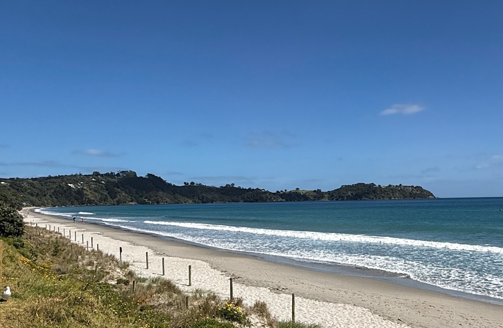
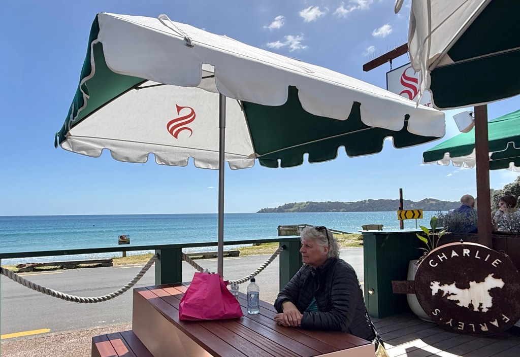
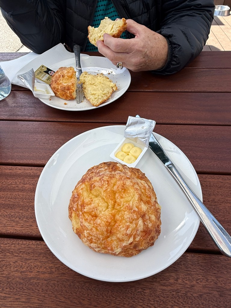
Apparently, scones are all the rage in NZ at the moment. These ones were pretty tasty, crunchy outer cheesy skin and a soft interior!
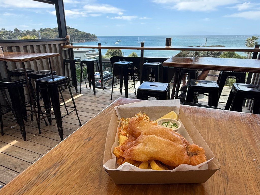
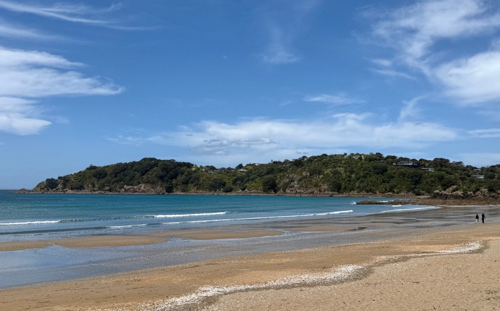
There are a number of vineyards on the route plying the tourist trade. Most have restaurants, attractive gardens and outdoor eating areas with great views over the water and countryside.
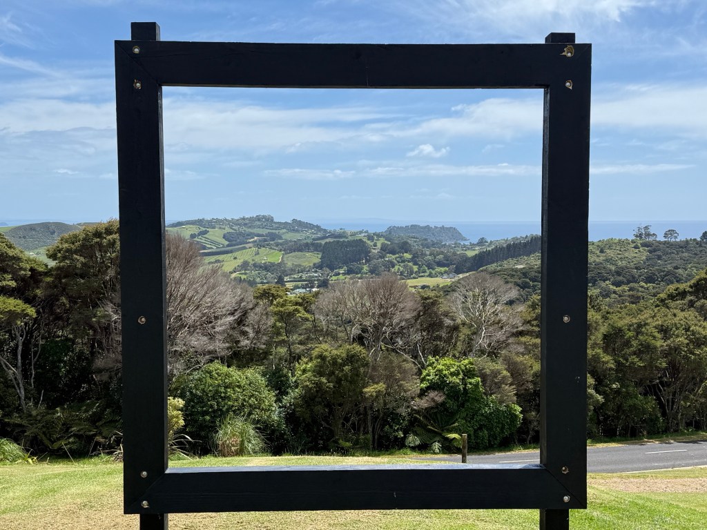
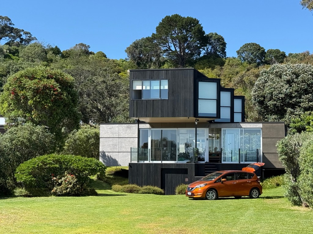
The Batch is high on the Island’s hills overlooking Rocky Bay, away in the distance through the picture frame.
Another stop was at Mudbrick Vineyard, an impressive establishment in great surroundings.
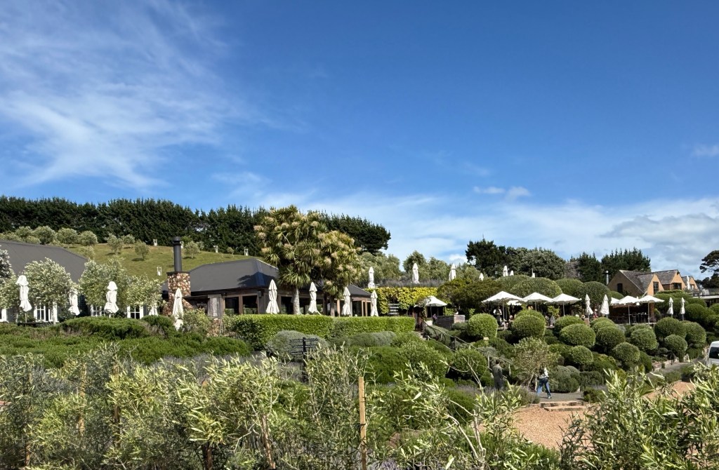
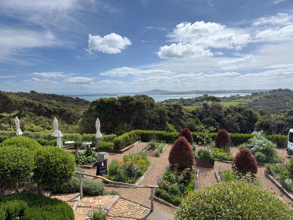
We had a late afternoon tea and coffee on the terrace in comfy armchairs enjoying the view, a small glass of an excellent Mudbrick ruby port helped.
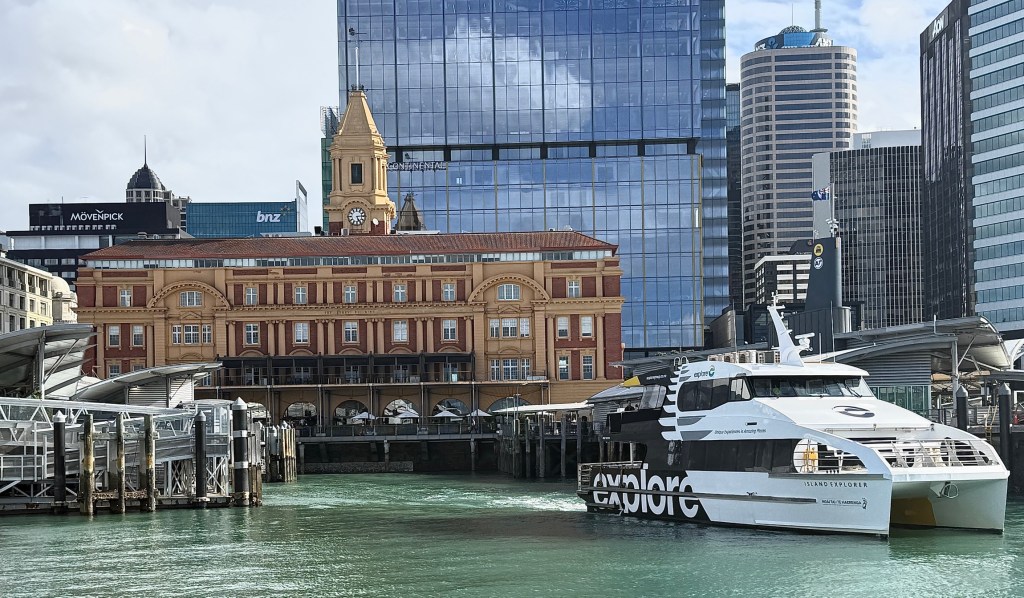
We made our way back to the dock on the hop on hop off bus from Mudbrick Vineyard in time to catch the 4 pm ferry back to Auckland. The lengthy uphill walk back from the dock to the Hotel a little testing on the legs! But we made it!
Next day saw us head off to the formerly named Mt Eden, now known in Māori as Maungawhau.
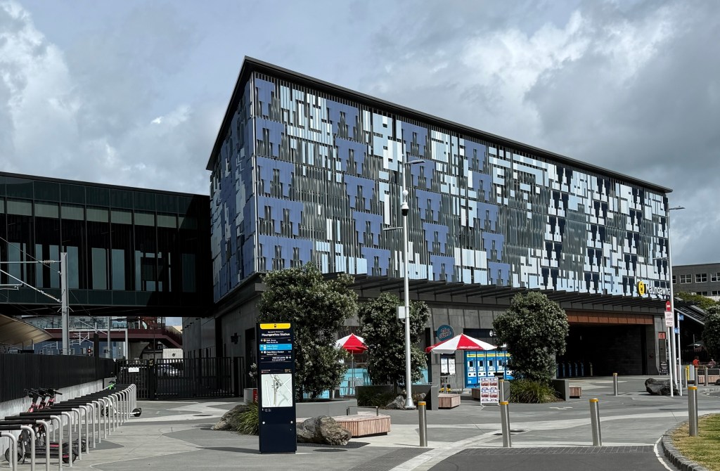
We ventured there on the new Auckland underground, it opened a few weeks ago in mid September. All new and flash. Very comfortable trip between the first two stations from the CBD. About a 30 minute walk then to the start of the climb up the old volcano.
Maungawhau at 196m is the highest of some 53 volcanic cones and features around Auckland.
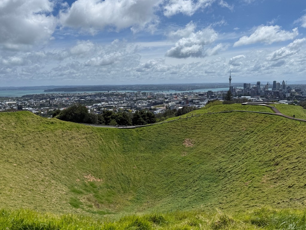
From geological evidence gathered, during the construction of the new underground, it is thought to have last erupted 28,000 years ago and like the rest of the Auckland volcano field is dormant and considered unlikely to erupt again.
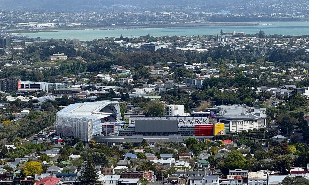
It has great spiritual significance for the Maori and a large Māori village occupied its terraced and fortified slopes before European arrival.
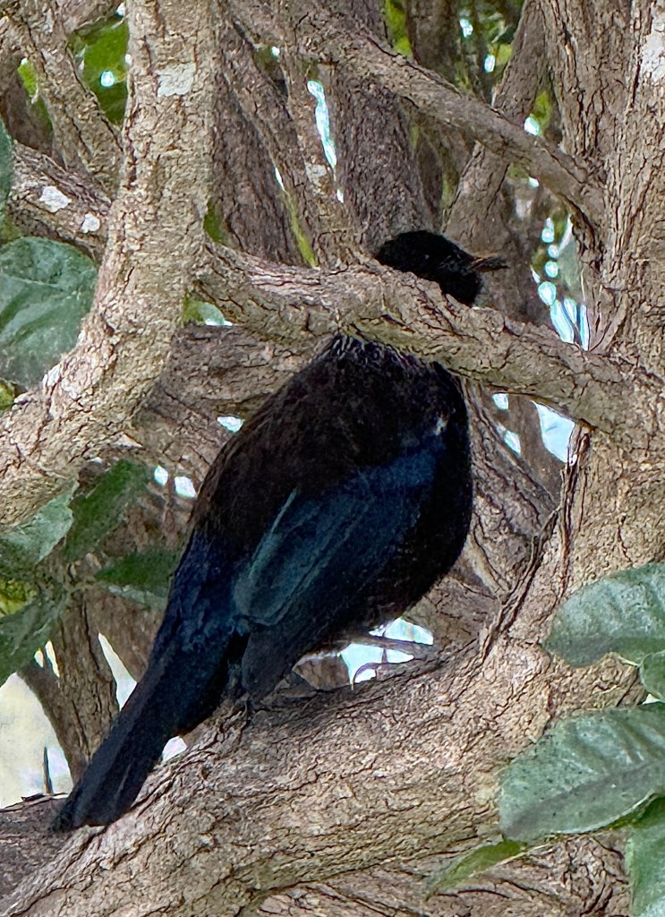
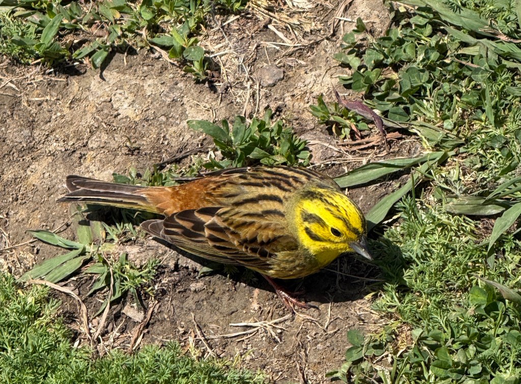
The volcanic cones and other prominent elevated features names are prefixed in Maori by ‘maunga’, meaning mountain or peak.
The ‘whau’ at the end of the Māori name refers to a particular tree on its slopes. It is an extremely light wood (like balsa wood) and was used by the Maori to assist flotation of fishing nets and rafts etc.
So, Maungawhau means ‘Mountain of the Whau tree’.
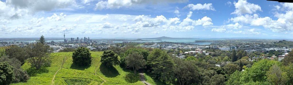
There are impressive 360° views of the Auckland basin from the walkway around the rim of the central crater, a steep walk up from the road below.
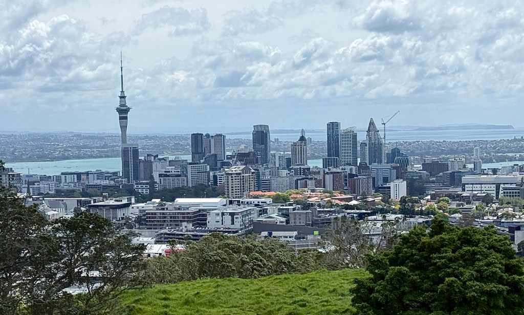
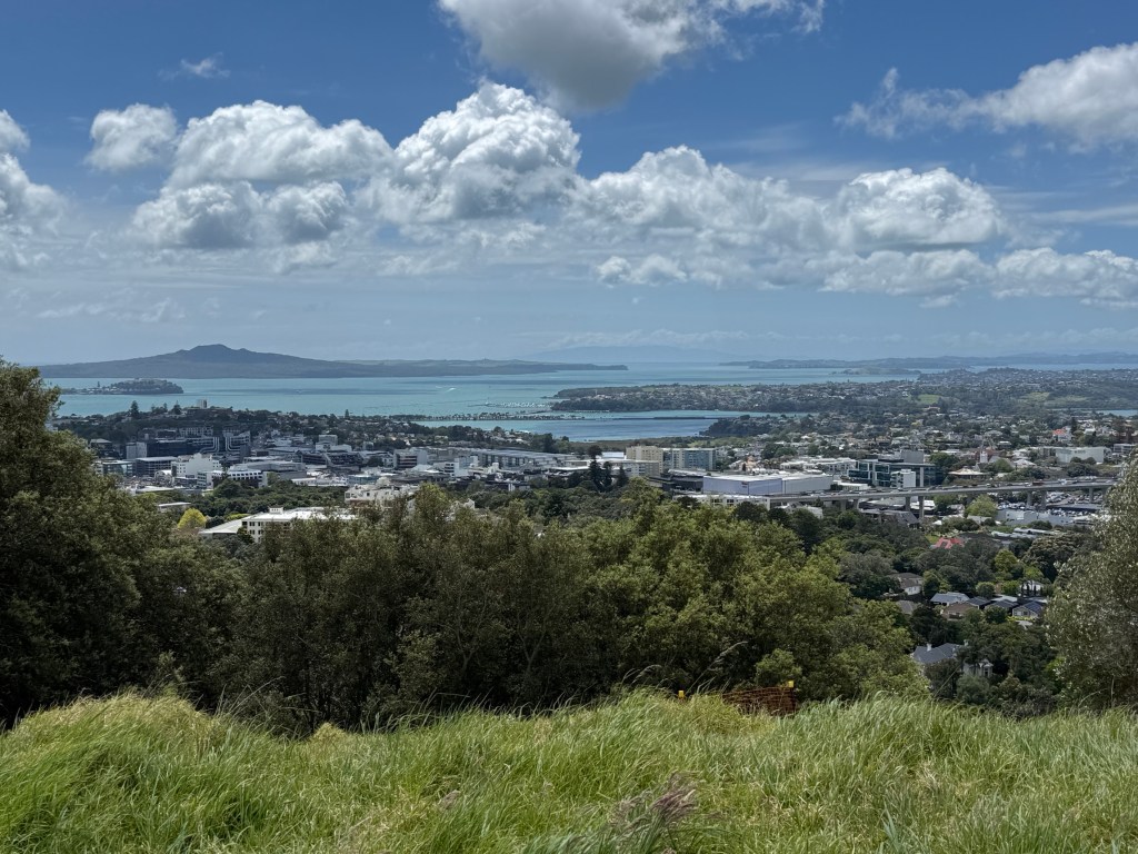
The views are free compared to the Sky Tower! However, the onsite cafe is not as flash as the revolving restaurant atop the tower!
We trudged back down the mountain to the railway station for the trip back to the city. A most interesting day on the ‘Mountain of the Whau tree’.
Tomorrow we are off across the harbour to Devonport to climb Mt Victoria.

Posted on October 30, 2026, in North Island NZ 2026. Bookmark the permalink. Leave a comment.


Leave a comment
Comments 0