Monthly Archives: September 2026
Old Grafton Road
We have used Mulligans camp as a base for a day to explore the Old Grafton Road. It runs from a turnoff about 10 km outside Grafton on the Gywdir Hwy and then rejoins the Gywdir about 35 km from Glen Innes. All up about 175 km.
The road was opened in 1887 and was the main access road from the Tablelands to the Coast until the Gywdir was developed in the early 1960s.
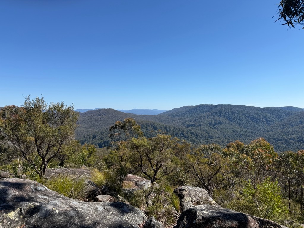
We left Mulligans around 8.30am and headed down to the Grafton turnoff, 65km. There was a brief stop at the day use area of the Washpool NP and a short walk to the lookout there.
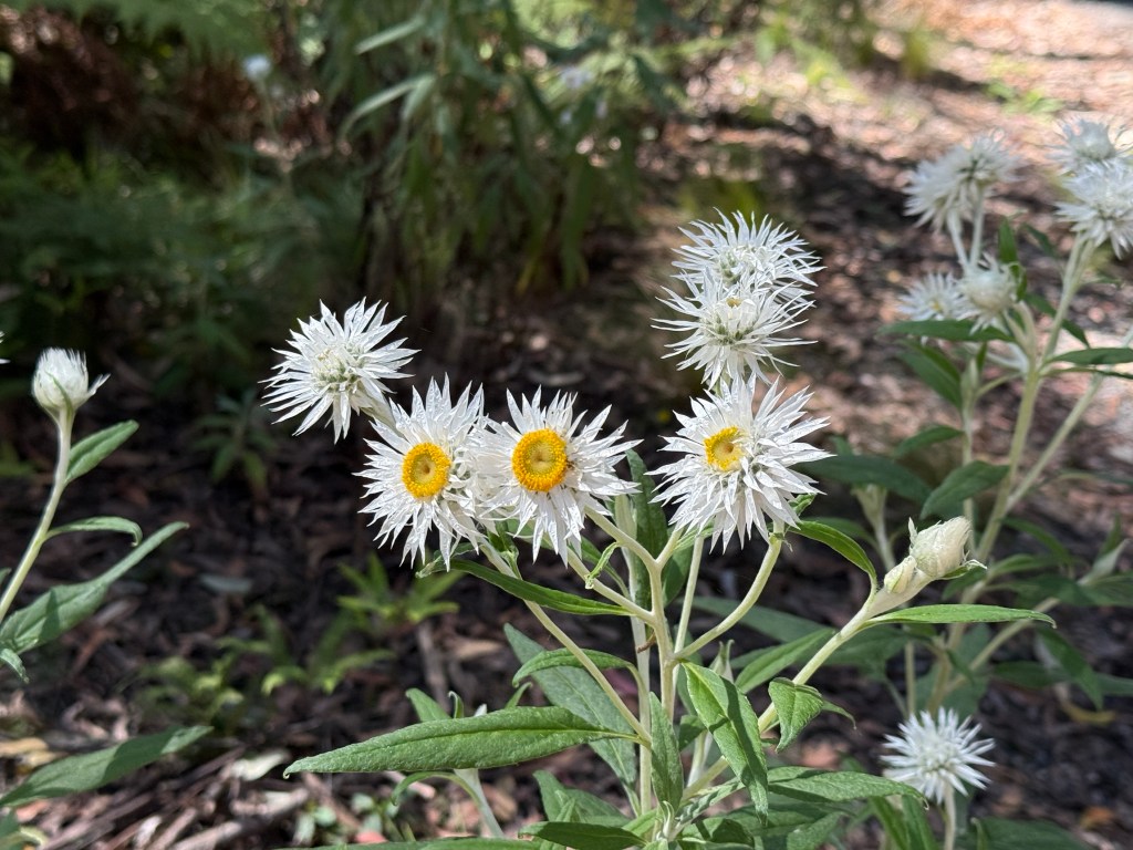
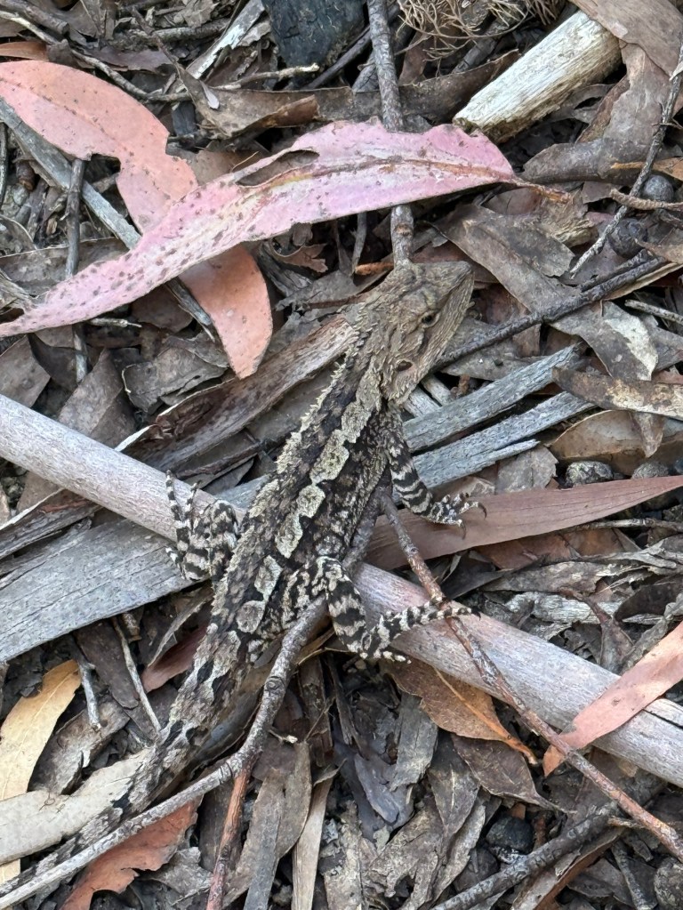
We were hoping to see a Gibraltar Waratah, endemic to the Gibraltar Ranges. But we are too early in the flowering season which starts towards the end of Spring.
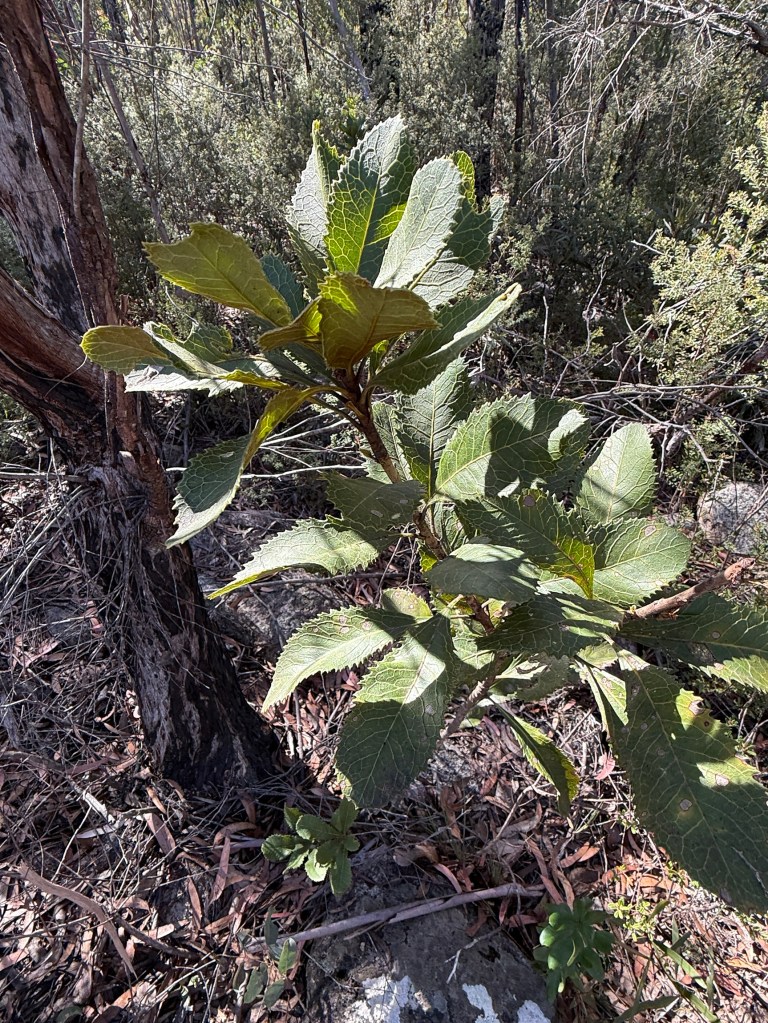
We did see a flowerless plant, so maybe we will come back again sometime and see the flower.
In the early days the Old Grafton Road developed in response to population build up due to gold discoveries and later timber getting when the gold ran out. At the height of the gold rush 20,000 people occupied the valley in several towns. They are long gone and not much remains of their time here. Today farming and grazing are the main activities along the river flats and nearby scrubland. There are not many people in these parts and zero traveller’s services.
At either end of road there is about 40km of bitumen of varying quality. The Grafton end is easily driven. The Glen Innes end though rises steeply and in parts narrowly, with numerous hair pins, for 17 km from the Mann River.
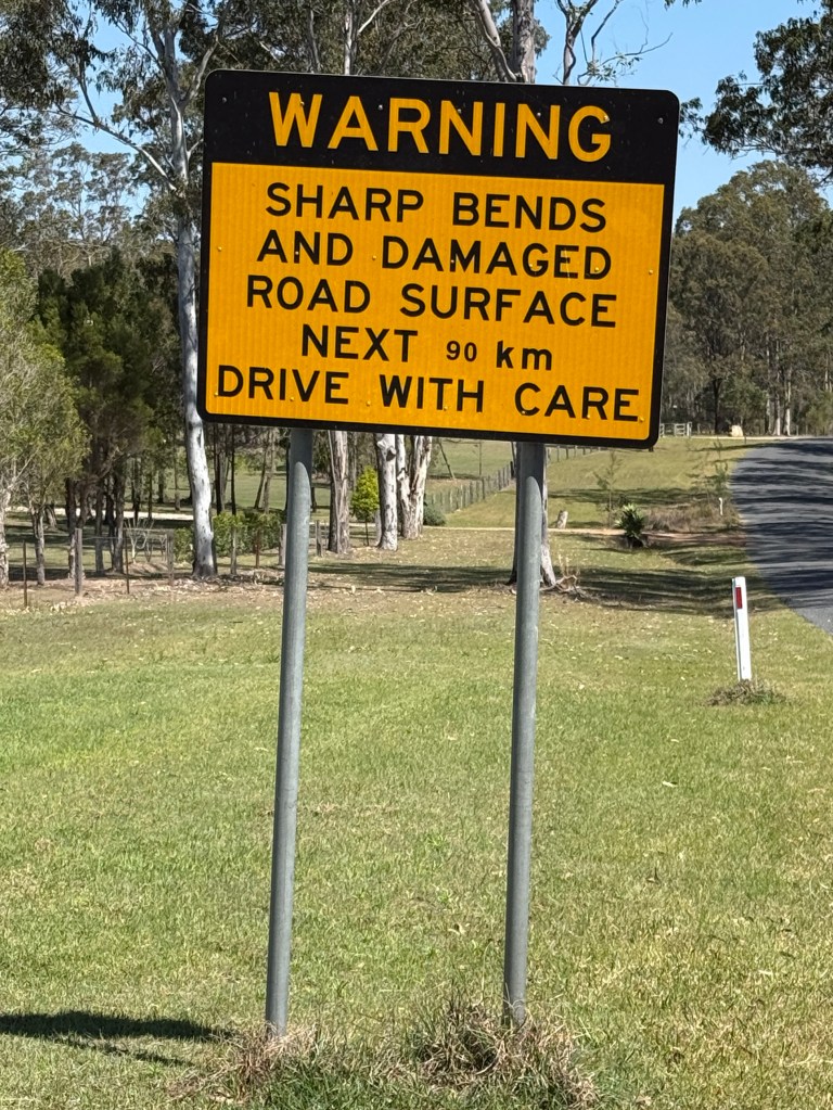
Now, the bit in between these two ends is the real interesting part and why we did it! The sign indicated an adventure was at hand!
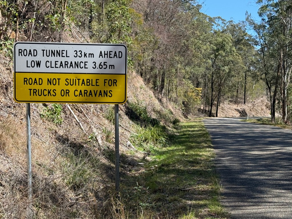
The middle section is 90 km of fairly rough narrow twisting gravel road. Sometimes running high above the rivers below with steep drop offs in some places. In parts one lane only with occasional passing places. There were of course some very pleasant sections as well to enjoy the views.
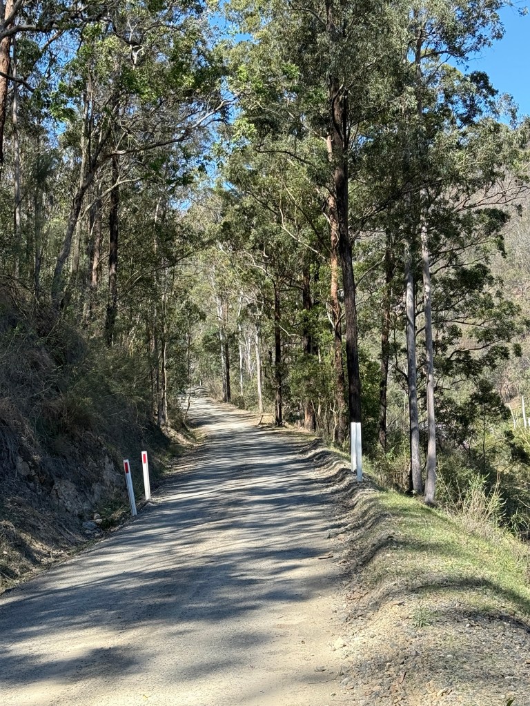
We encountered about 10 cars during the day coming the other way and by good luck it was on wider sections! So no hairy manoeuvres were required.
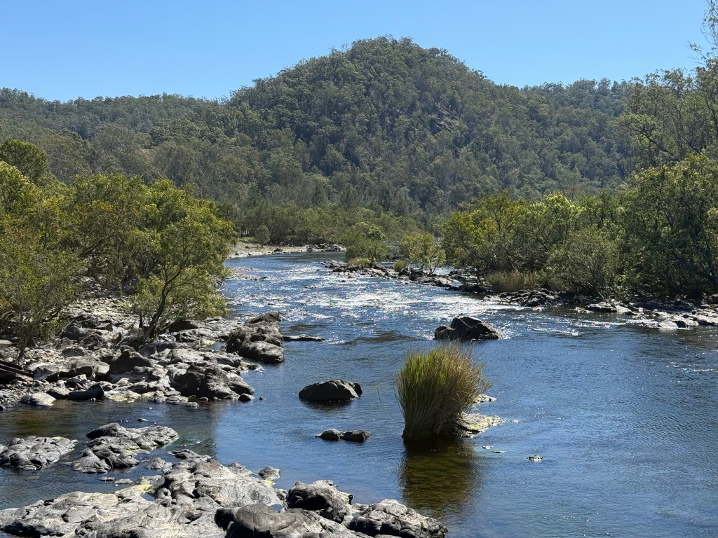
We crossed the Nymboida River at Buccarumbi one of the old towns with little remaining, a couple of houses overlooking the river.
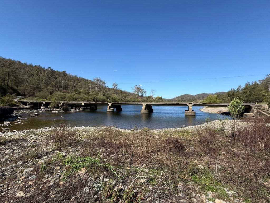
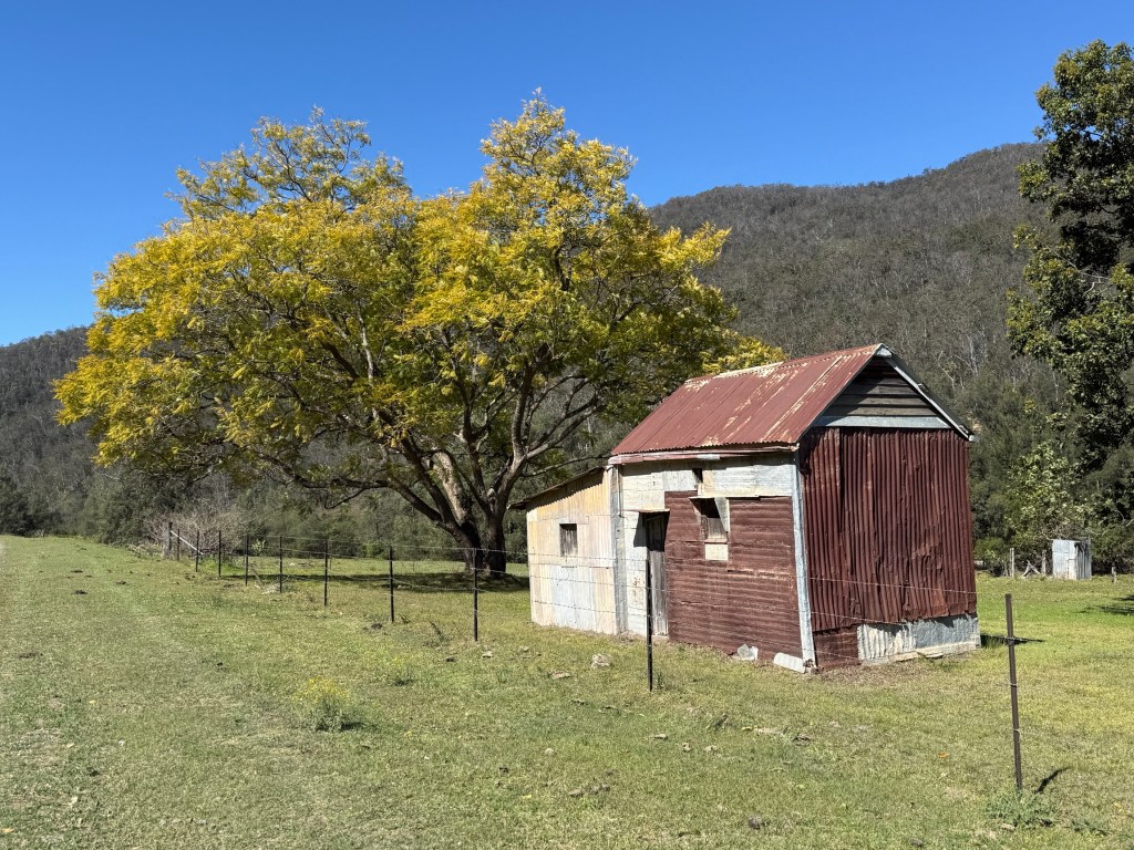
A little further along we came to the site of Dalmorton, a few old buildings remain. Ghost town like.
After Dalmorton we encountered one of the major features of the road. The forewarned tunnel.
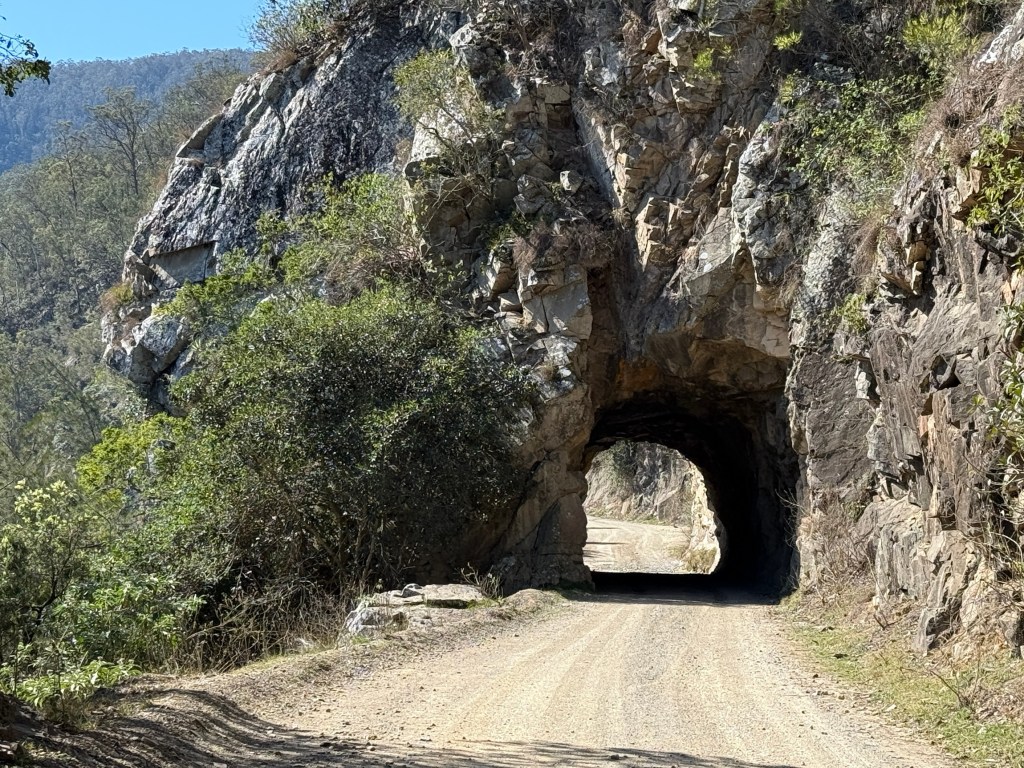
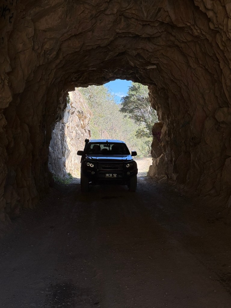
The impressive 20 metre hand cut tunnel has a clearance of 3.3 metres. The clearance seemed more than this, the suspicion being that periodic road grading increases it! Definitely one way and would be a challenge for some larger caravans.
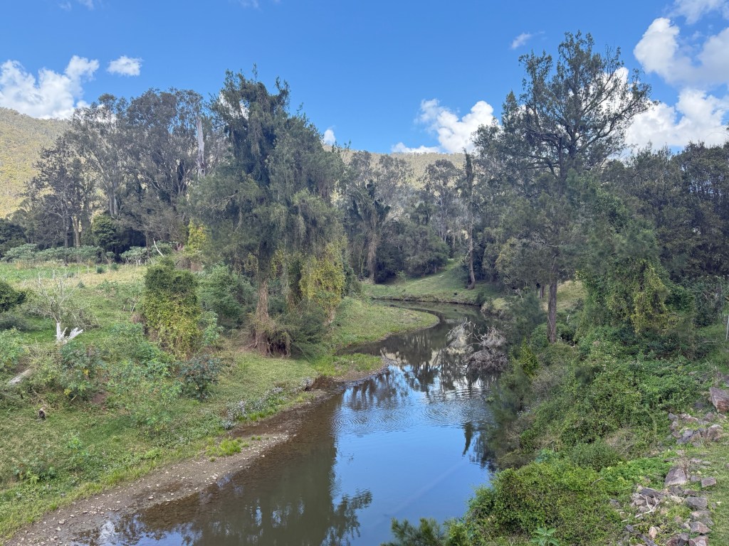
We paused for a late picnic lunch on a grassy bank beside a slow moving creek, more a back water.
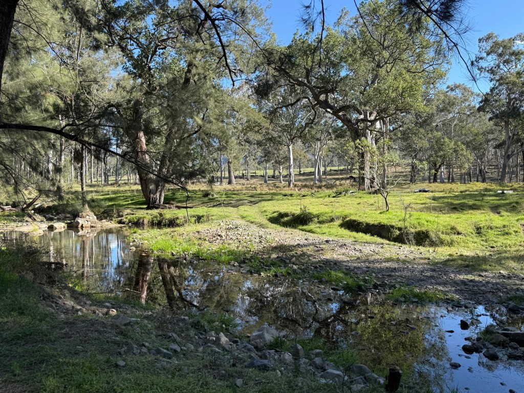
It is difficult to get close to the river banks because much of the land between the road and river is private property. We had passed up a couple of good spots earlier at Dalmorton for a riverside lunch. After lunch we moved on past an area known as Newton Boyd, the Boyd River is nearby.
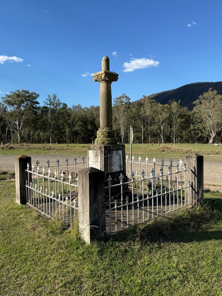
Here there is a memorial to some 30 young men who left Newton Boyd farms to enlist in WW1. Only one returned to the valley and was ironically later killed in a rock slide.
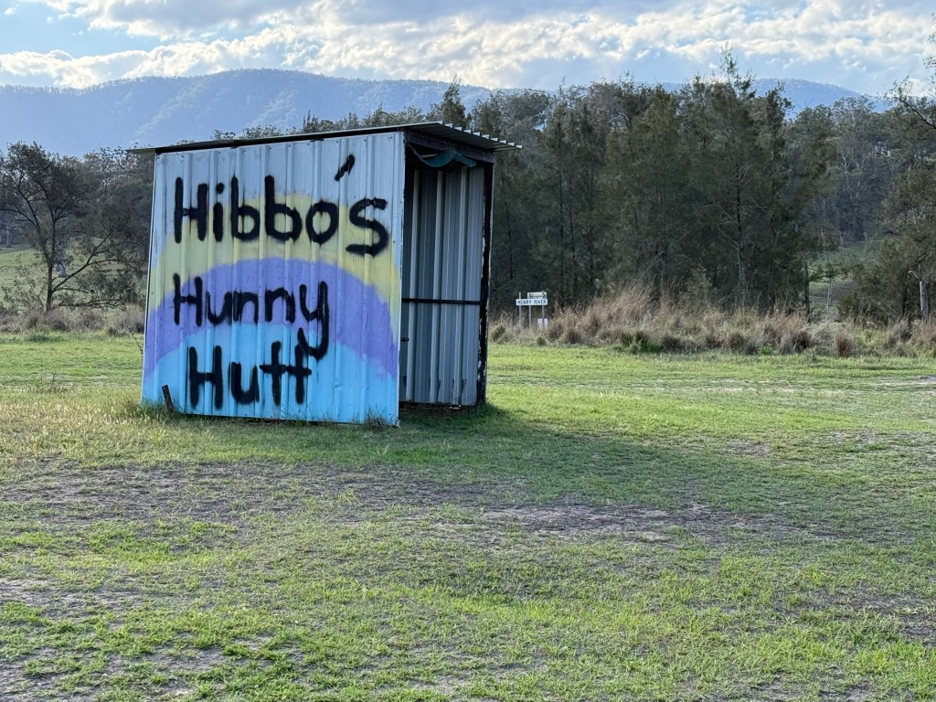
Couldn’t resist getting a souvenir from Hibbos Hunny Hutt. The stall was stacked with various honey products, goat soap, candles and infused salts. The raw Stringy Bark honey could not be resisted.
After Newton Boyd the road meandered on through some rolling cattle countryside before descending to the Mann River, there is a National Park Nature Reserve here with a few campsites overlooking the river. A pleasant spot.
We had rejoined the blacktop a few kilometres before reaching the Mann River bridge. From here the road climbs for 17 kms out of the valley up to the Gwydir Highway with many twists and turns, hairpins a plenty.
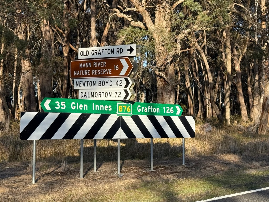
When we reached the highway it was back to Mulligans Campsite, about 35 kms. Got back about 5pm, a long day on the road.
Why did we do this adventure? Because it had to be done. After all its not the destination its the journey!
Mulligans campground
The ten km gravel track into the campground is quite good, mostly hard bush gravel, and only lightly corrugated on corners. Smooth journey in with some narrow sections.
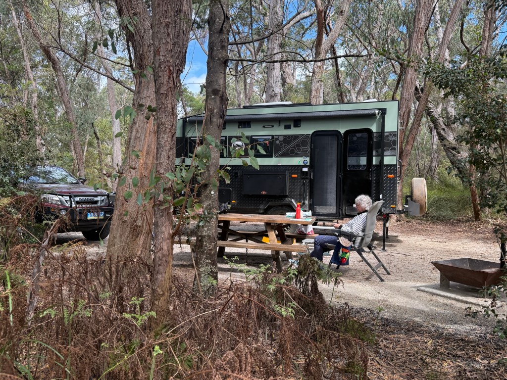
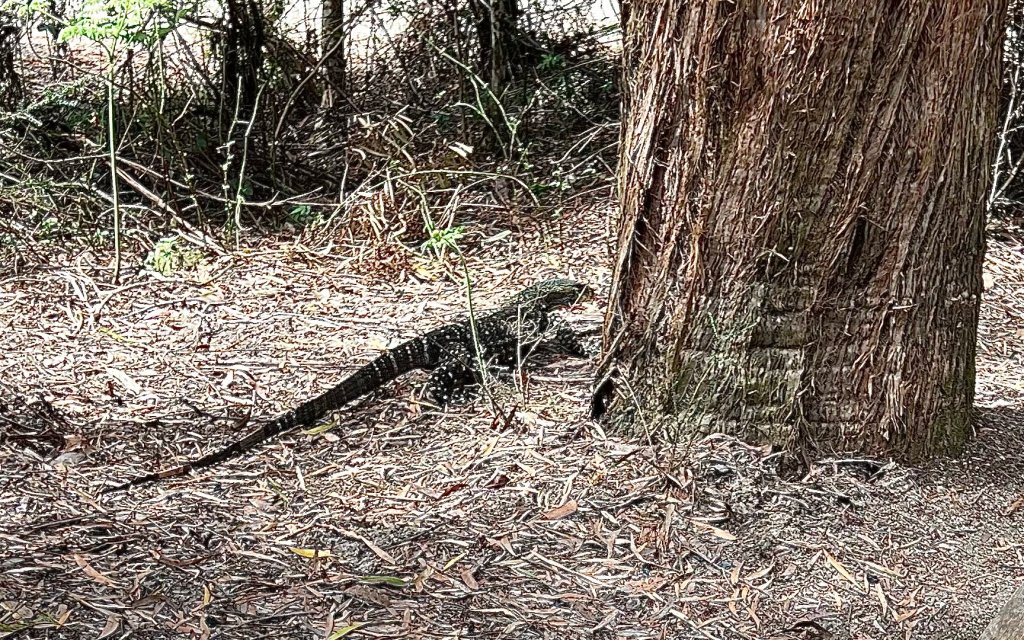
Big camping sites equiped with a fire place, table and non potable water on tap. The campground is a short distance uphill from Little Dandahra Creek, populated by platypus. They are very shy creatures and we didn’t see any on a late afternoon stroll.
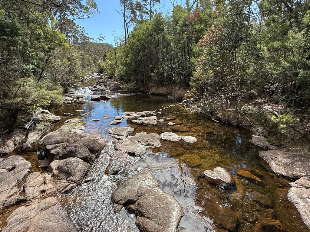
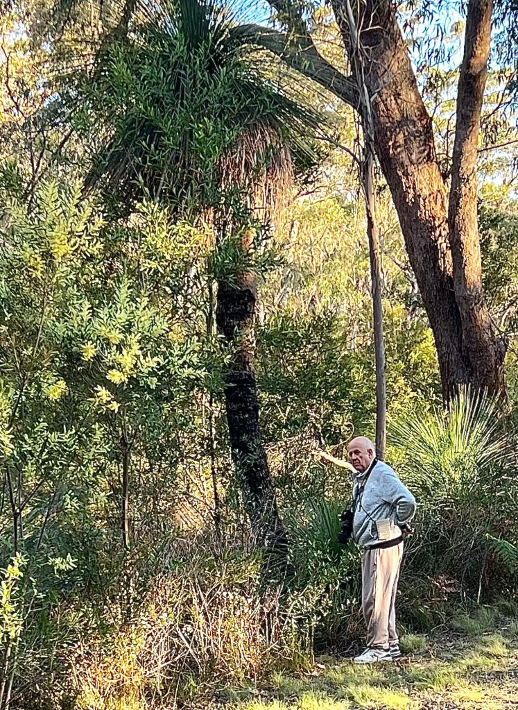
Allthego headed off on the 6 km return walk to the Needles, these are a peculiar rock formation on the cliff edge overlooking a valley in the NP. Homealone remained in camp to catch up on some craft, keep track of the time and send out a search party if needed.
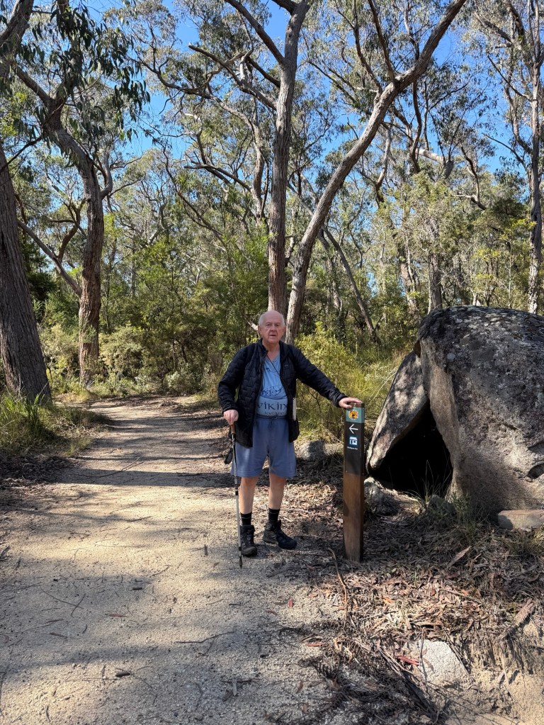
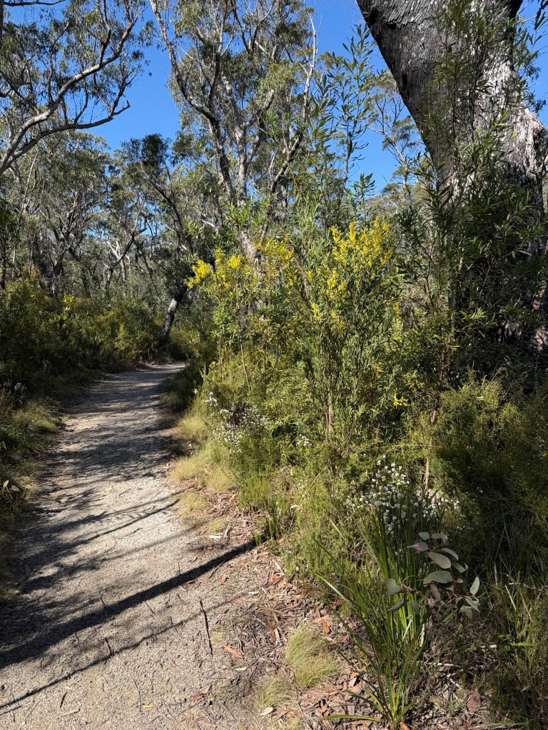
The walk is fairly gentle, mostly an uphill stroll on a wide path with a couple of dips along the way before rising again.
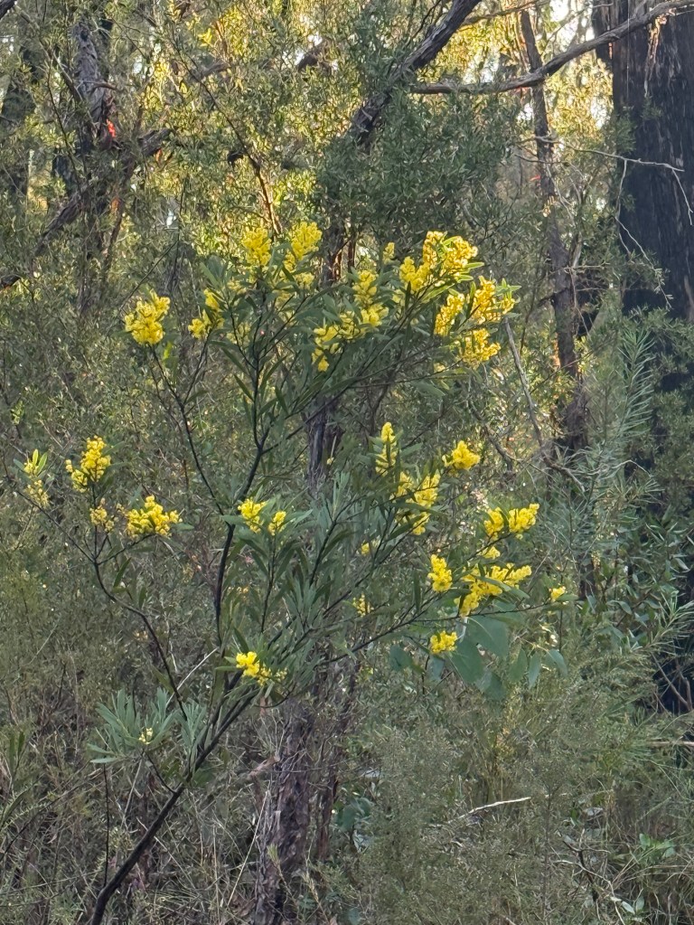
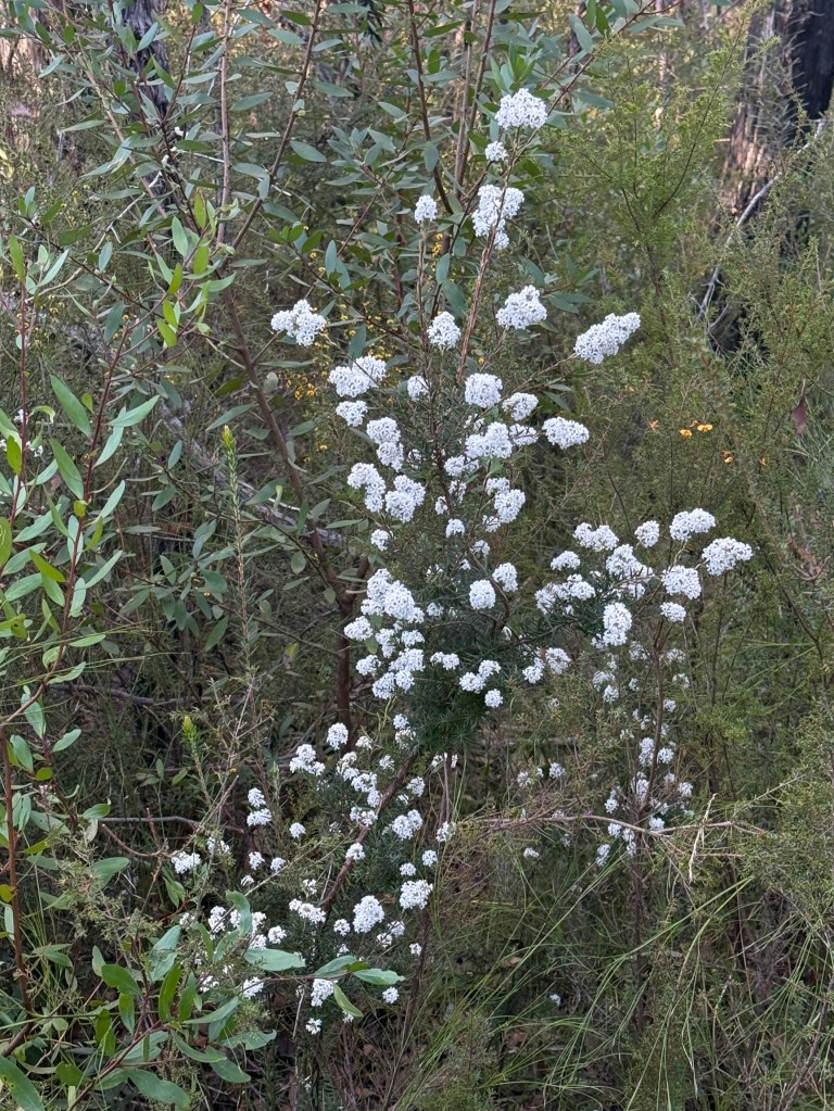
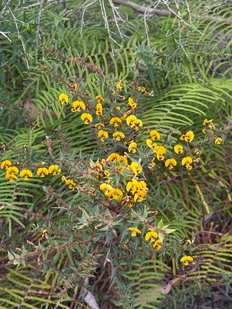
The vegetation varies along the way from open woodlands to some rainforest areas in the gullies. Plenty of wildflowers were out, particularly wattles.
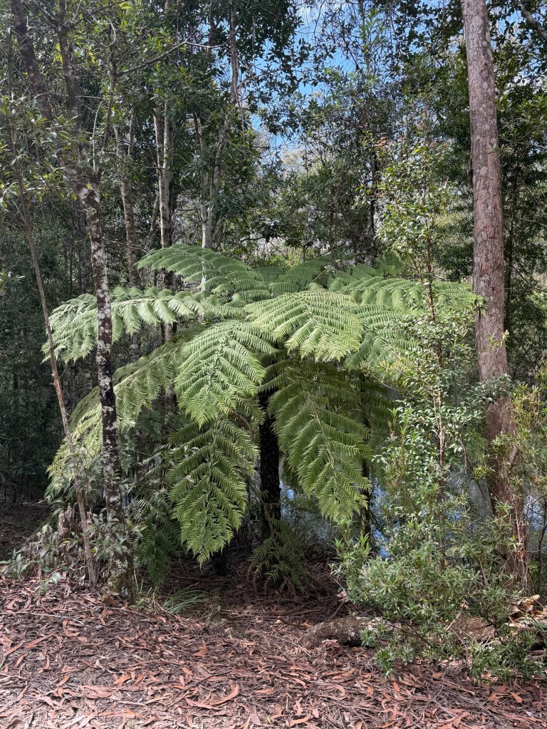
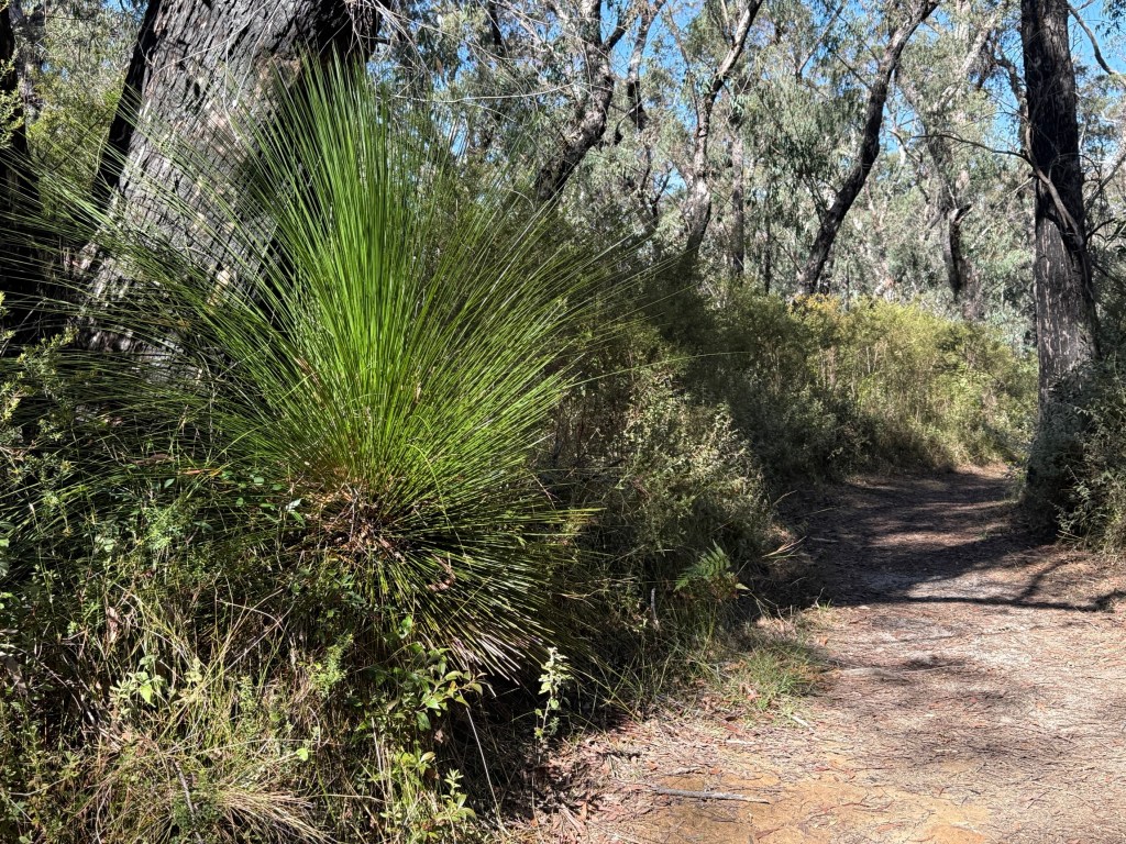
The track narrows about two thirds of the way along and there is a short rocky decent before reaching the viewing platform.
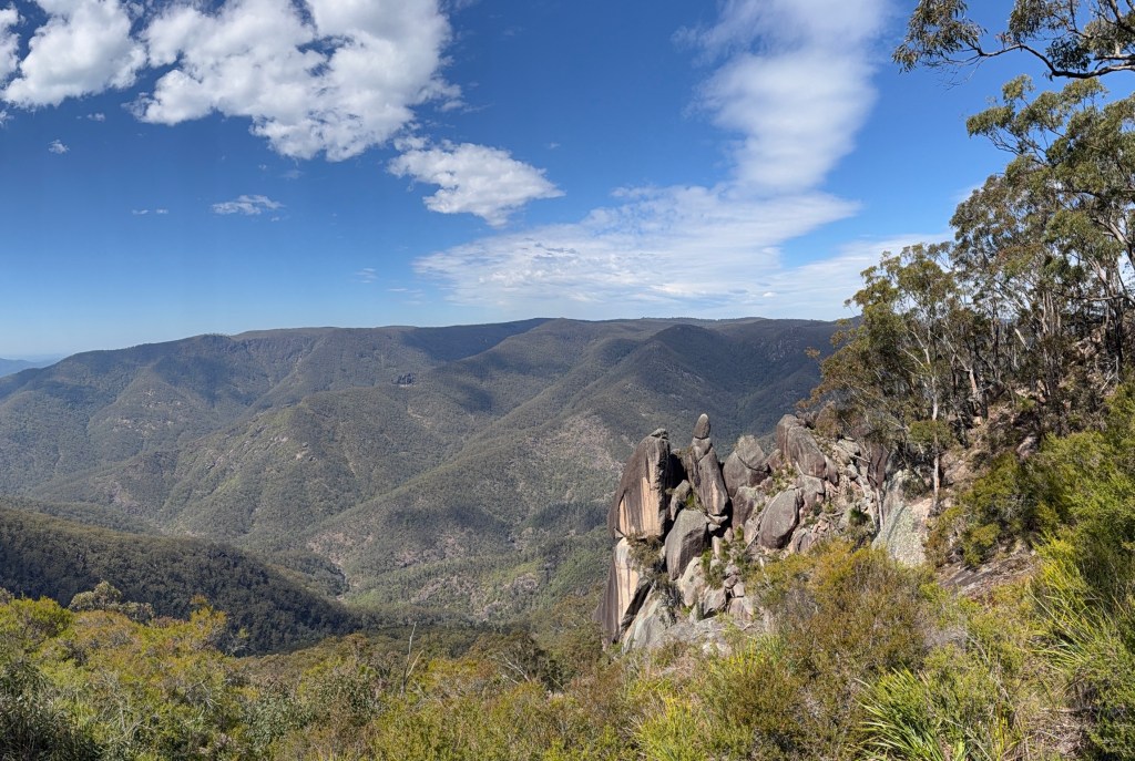
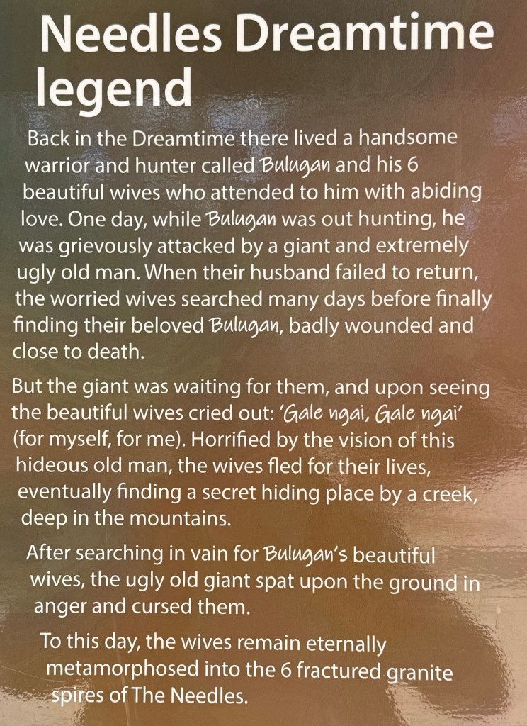
It is a great view out over the landscape with the granite spires in the foreground. Our indigenous people believe them to be the six metamorphosed wives of the warrior Balugan. Here is the story:
Getting back to camp was a little quicker as it was basically a gentle downhill walk to Little Dandahra Creek. Beside the creek is the restored Mulligans Hut .
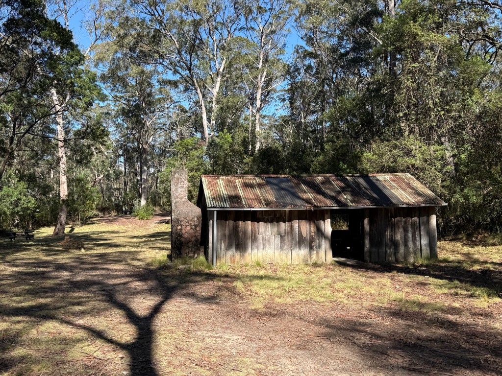
This was where an engineer lived in the 1920s while working on a scheme to dam the creek as part of a hydro electricity scheme. It never materialised.
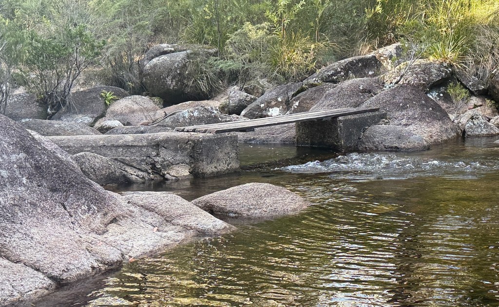
However, there remains in the creek a small concrete weir he built to measure water flows. The water endlessly bubbles over the lip and runs down into a large pond.
I will finish now with something I have learnt today (re learnt) about the use of apostrophes. It explains why Mulligans campground doesn’t have an apostrophe. Apparently, geographical place names don’t use them because they indicate ‘possession’ by someone and that is just a no no for place names. So there, maybe you knew that. I should have but had forgotten it, getting old!
Return to the New England Hwy
We have decided to head off on a trip that has long been in the plan, but deferred pending the arrival of the new van. It has now arrived and we are going to start on the New England Hwy from where we left off at the Celtic Festival in Glen Innes back in May.
The route to Glen Innes is from Grafton travelling along the Gwydir Hwy and through the Gibraltar Range NP. We are spending three nights camped in the Mulligans campground about 10kms into the NP. Might be a bit chilly at night.
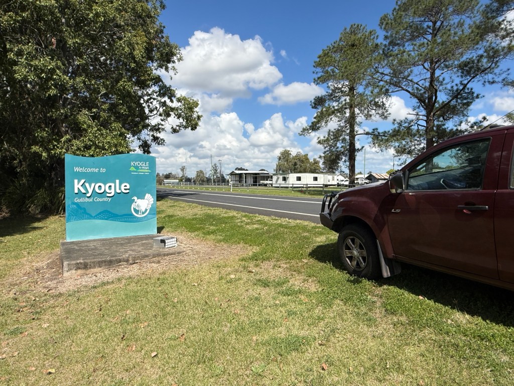
Getting to Grafton is the first step though and we took the Mt Lindesay Hwy down through Beaudesert and Rathdowney. Got away from Brisbane at 8am, early for us! The plan had involved journeying along the Lions Road from near Rathdowney across the Border Ranges and down towards Kyogle.
This route tracks the Sydney to Brisbane train line with the main feature being a view of the unique (as far as Australia at least) spiral train track route through tunnels in the main range. Unfortunately, there have been some land slips and the road is in parts narrow and one lane. Caravans are not wanted! We travelled along it for a short distance before taking a detour back to the Mt Lindesay Hwy and joined the Summerland Way.
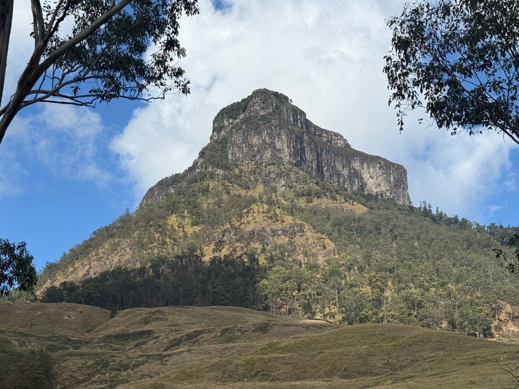
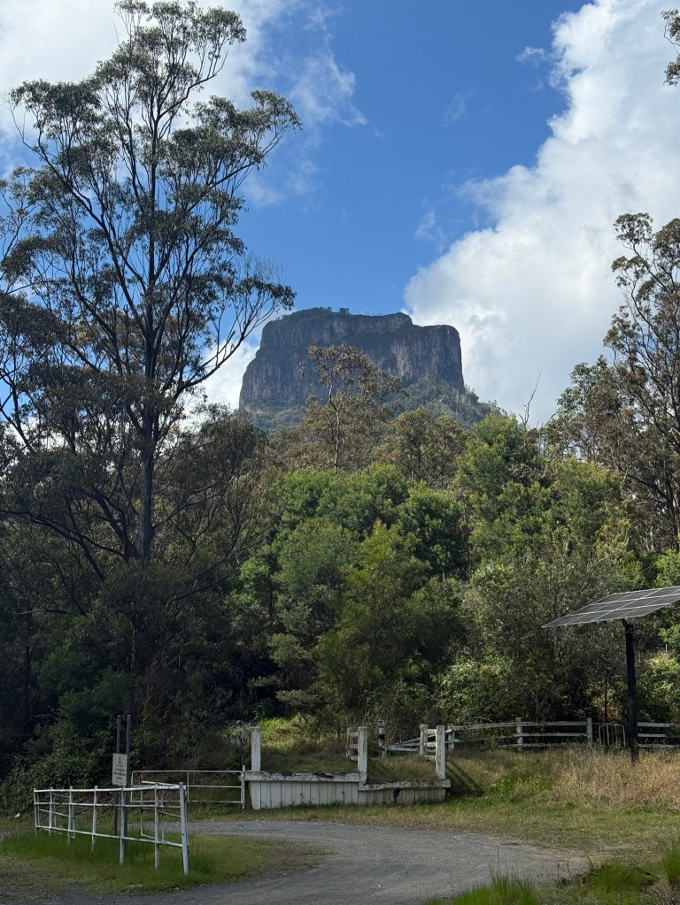
This road provides great views of Mt Lindesay, with its ‘cake top’ appearance, from various perspectives before descending into the Richmond River and later the Clarence River valleys.
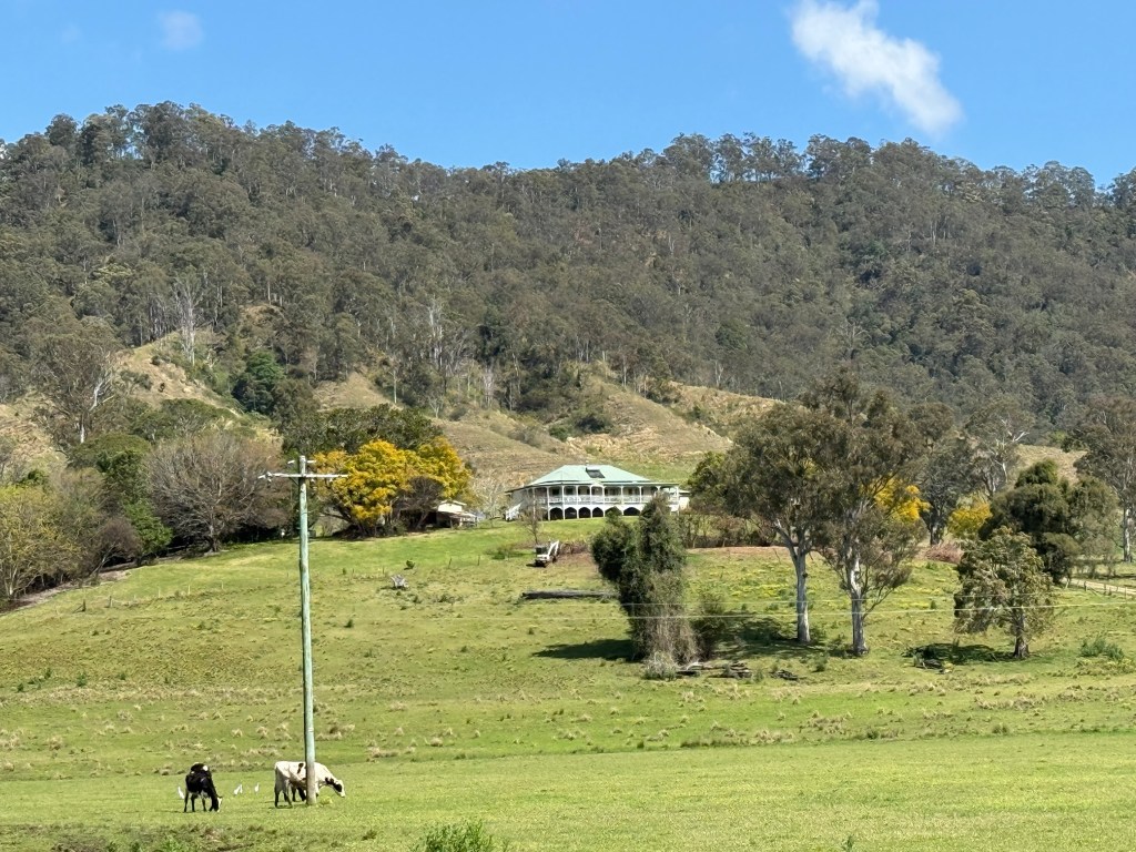
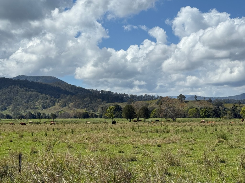
Very green pastures in these parts with many beef cattle munching away.
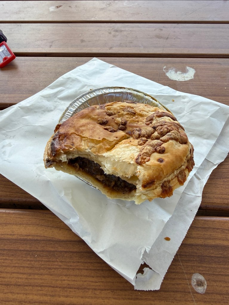
Stopped off in Casino for a late snack lunch of pies at Country Crumbs Bakery on the southern side of town, Now these were pretty good pies, perhaps a bit mushy and could have been hotter. But a pies a pie! Maybe we will try a few more pies on this trip and give readers a few tips as to the best pie!
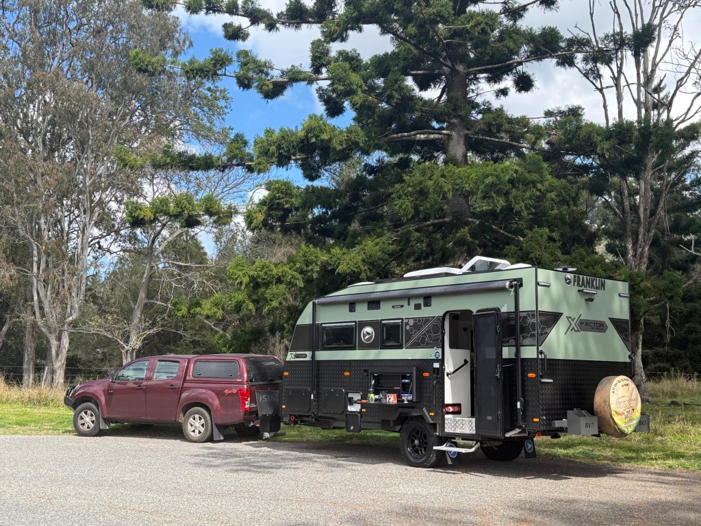
A pleasant drive through to Grafton and on to Mulligans camp ground, arrived at about 5pm with dusk setting in. A long day 448 km. No dramas setting up for the nights ahead here.

