Category Archives: New England Hwy 2026
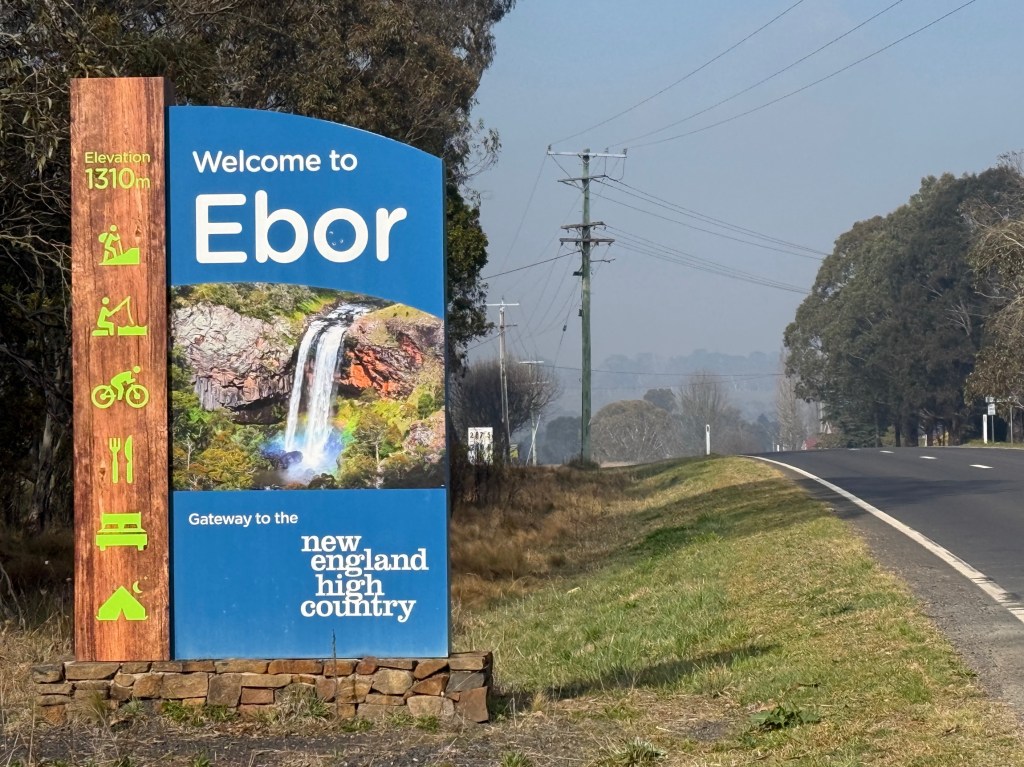
Ebor
After our dose of bushranging history, tomato technology and poetic culture in Guyra we set off on the 90km drive across the rolling New England countryside to Ebor.
The road east from Guyra meets the Waterfall Way a few kilometres west of Ebor. Ebor is about halfway along the Waterfall Way linking Coffs Harbour with Armidale.
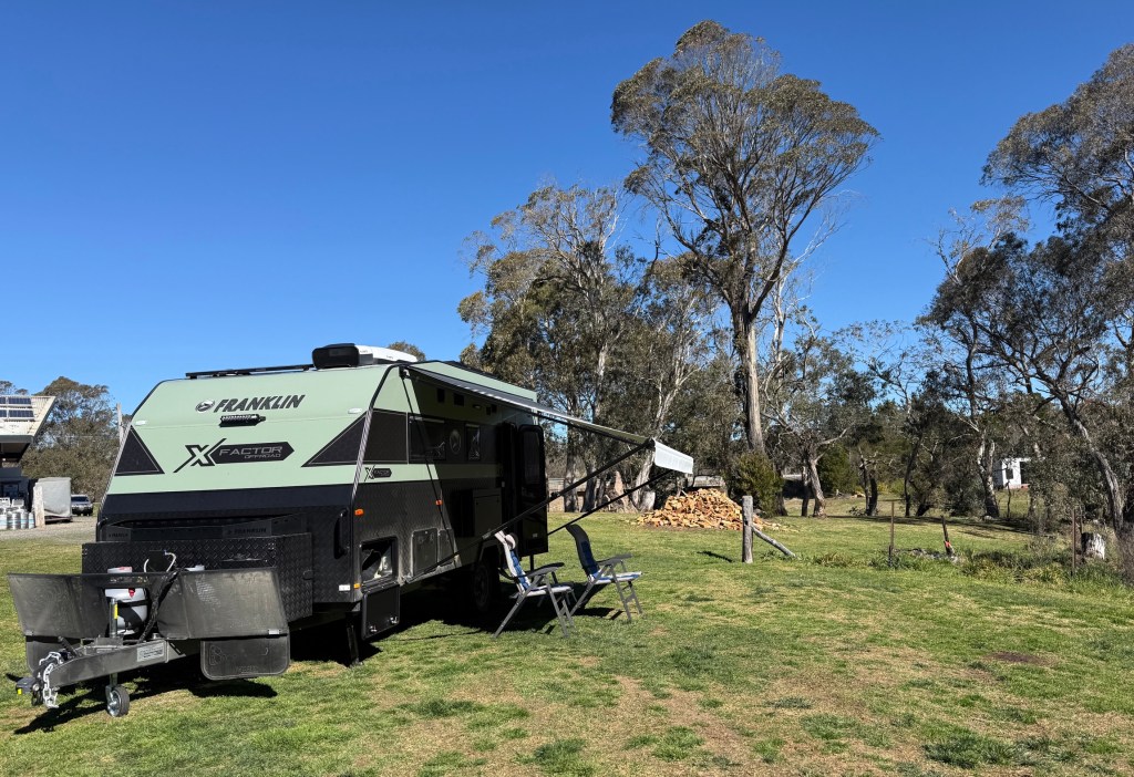
We had booked an unpowered grassy camp site behind the Ebor Hotel Motel, a short distance from Ebor Falls, and arrived at lunchtime.
It was Father’s Day and it seemed all the Ebor fathers of varying vintages were at the hotel for lunch. Waited an hour and a quarter for our burgers and chips, quite good though when they arrived.
The reason for making this detour from the New England Hwy was to see some of the waterfalls along the route from Ebor to Armidale. It was a little disappointing in that we had encountered the burn off season, something overlooked in the planning of the trip. The smoke haze was quite thick and we decided to put our feet up for the late afternoon and visit the falls the next morning, maybe the haze would dissipate overnight.
Next morning down at the falls, a short stroll from the visitors car park, the smoke haze persisted and was accompanied by a light morning fog. The sun was trying to poke through this cocktail, shining right into the camera lens. Not great for photos! After an hour or so conditions improved with the fog lifting and the sun higher in the sky.
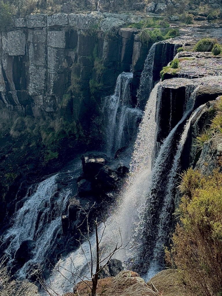
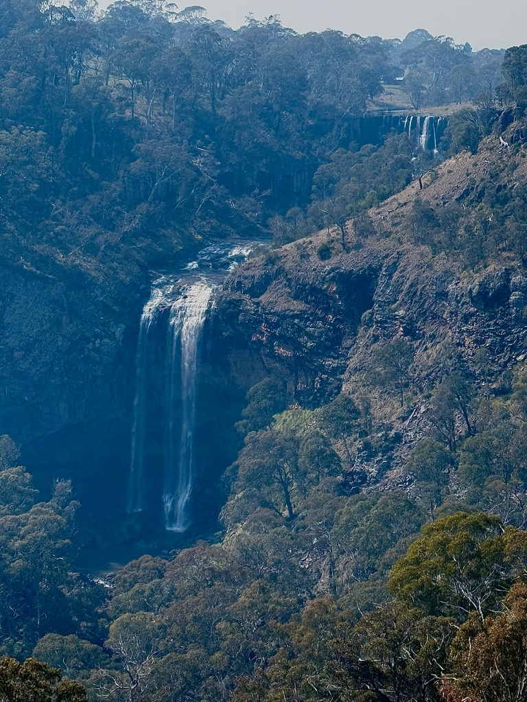
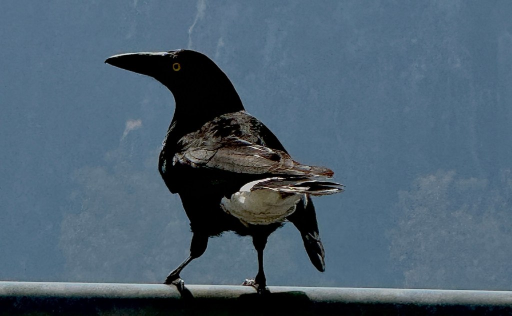
Above is a pic and a video of the upper twin falls, a fall of 115 metres over two levels of columned basalt rock. A single waterfall is further down the valley and drops 190 metres to the forested valley below. A Currawong was having a good look down from the lookout rail.
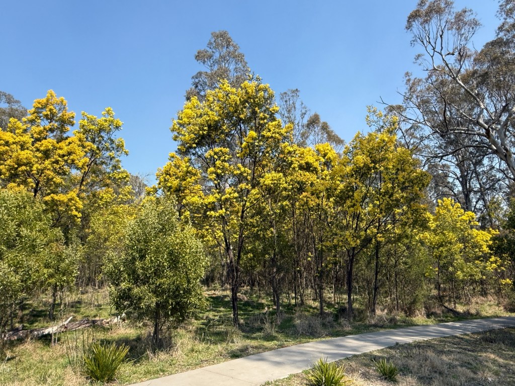
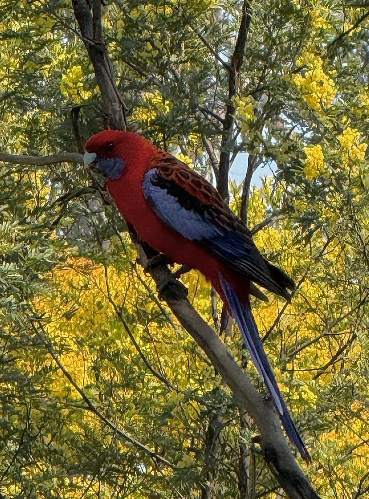
Back near the car park a couple of Crimson Rosellas lurked among the wattle trees and said goodby to us as we left for Armidale.
Further along the way we pulled into the Wollomombi Falls for a picnic lunch. We were here 50 years ago on our honeymoon and the falls seemed to look much the same as they did then! The viewing platform and precinct have been modernised compared to the rustic wooden structures back in 1976.
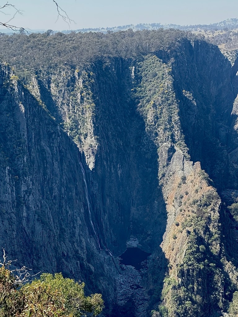
The falls are seemingly a thin stream of water flowing over the rim, across the valley, and down 200 plus metres. It is considered the longest drop waterfall in NSW, depends a bit though from where you start the measurement.
From here we headed on into Armidale for a few nights in the big smoke.
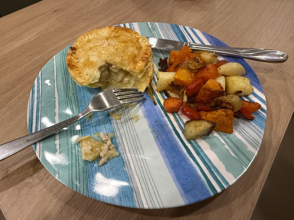
Dinner was some pies we had picked up from the Blind Chef in Guyra, warmed up in the Weber with some roast vegetables. They were surprise pies of the day, great chicken breast pieces in a creamy sauce. Wonderful pastry! Can recommend the Blind Chef when in Guyra!
The delights of Armidale await a new day.
Three must dos in Guyra
Well the first one is to check out Thunderbolts Cave. Everyone knows who he was, don’t they? Bush ranger Fred Ward rampaged around New England in the mid 1850-60s. He had originally escaped from the penal colony on Cockatoo Island in Sydney Harbour, the only one to ever do that.
He had lots of hideouts in the New England region, we have already seen one whilst in Glen Innes, a rocky cave near the road.
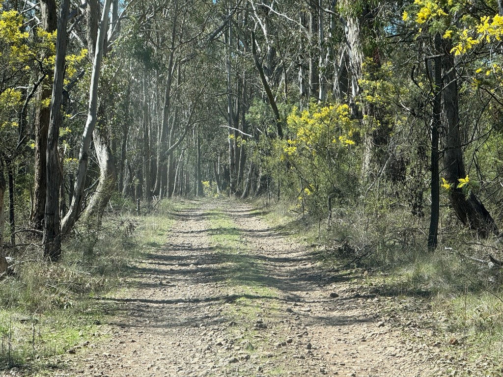
The one here at Guyra though is away in the bush about 2 km from the highway down a gravel road.
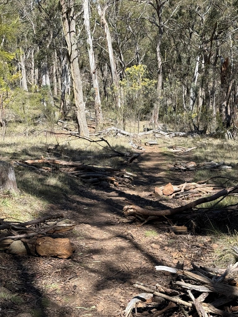
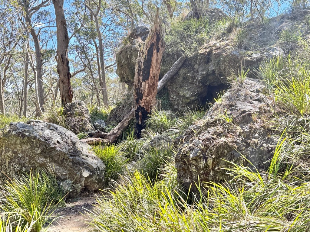
The walk to the cave from the car park is about 500 metres into the scrub.
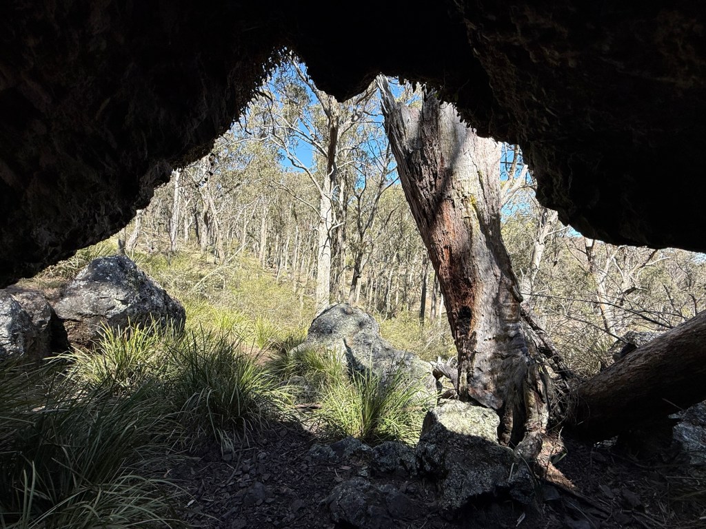
The reason for the cave’s distance from the highway is that modern day man moved the New England Hwy about two km west from the old 1800s route that went past the cave’s location. The gravel road to the cave is in part a section of the old 1800s route. An interesting historical spot to visit.
The second must do is to have a look at the two massive tomato growing complexes on the town’s outskirts, 40 hectares in total. Hydroponic tomatoes on a grand scale. Guyra is ideally located for the project. It has clear sunny days for much of the year that are ideal for solar power. Cool rather than hot summers minimise the air conditioning cooling needs. In the cold of winter it is, in comparison to cooling in summer, more efficient to warm.
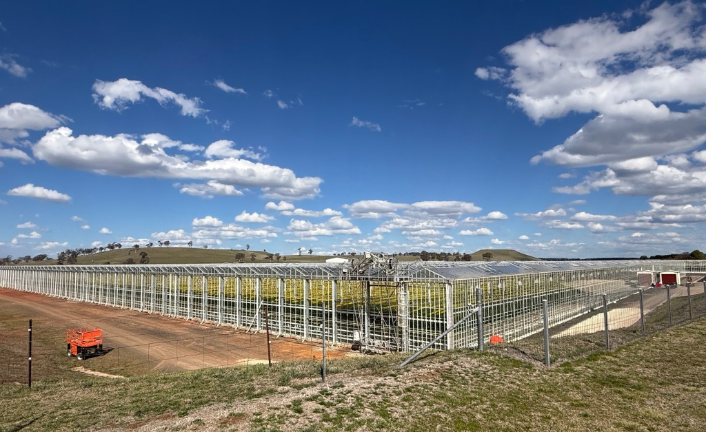
The two industrial scale complexes employ around 800 people, 200 locals, casual workers on holidays and another 600 Pacific Islanders on working visas schemes. Rotating teams come from all over the Pacific islands to work here year round.
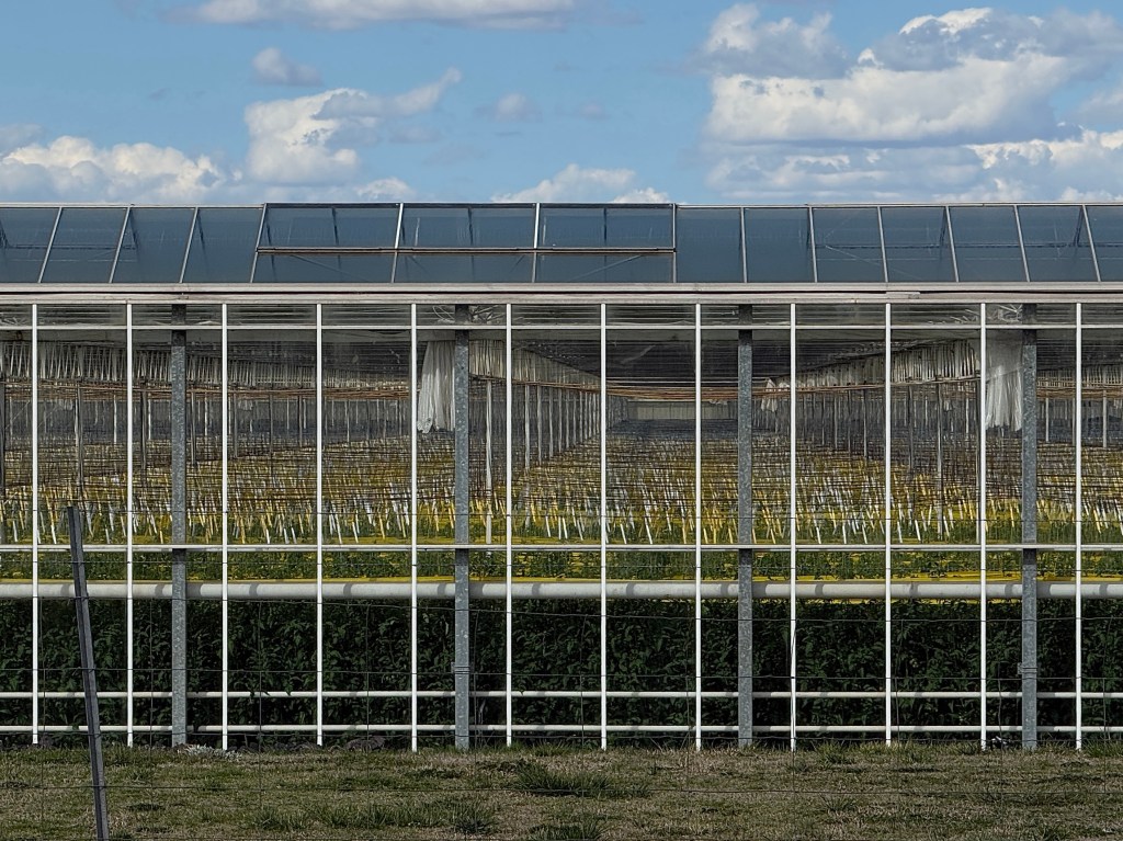
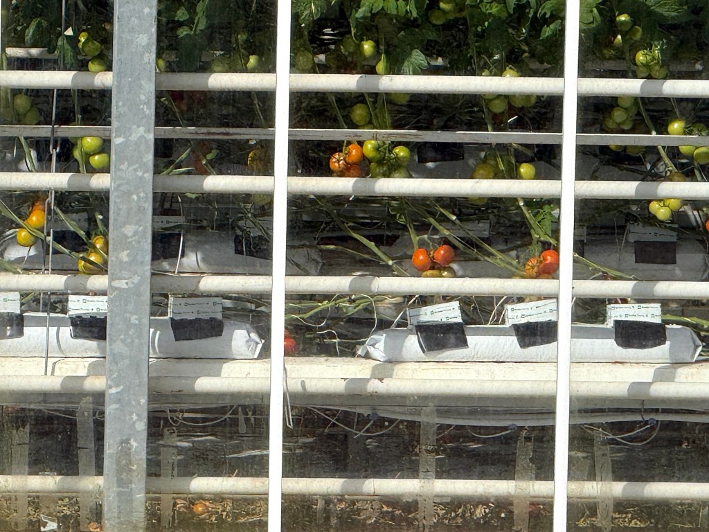
There is an annual production capacity of around 20 million kilos of truss tomatoes and smaller specialist tomatoes for our supermarkets.
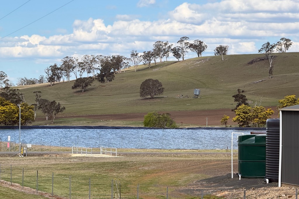
The complex’s roof captures rain water that is stored in a dam and then cycled and recycled through the hydroponic system, the site is completely water self sufficient. The complexes also generate their own electricity and manufacture gas used on site. A must see!
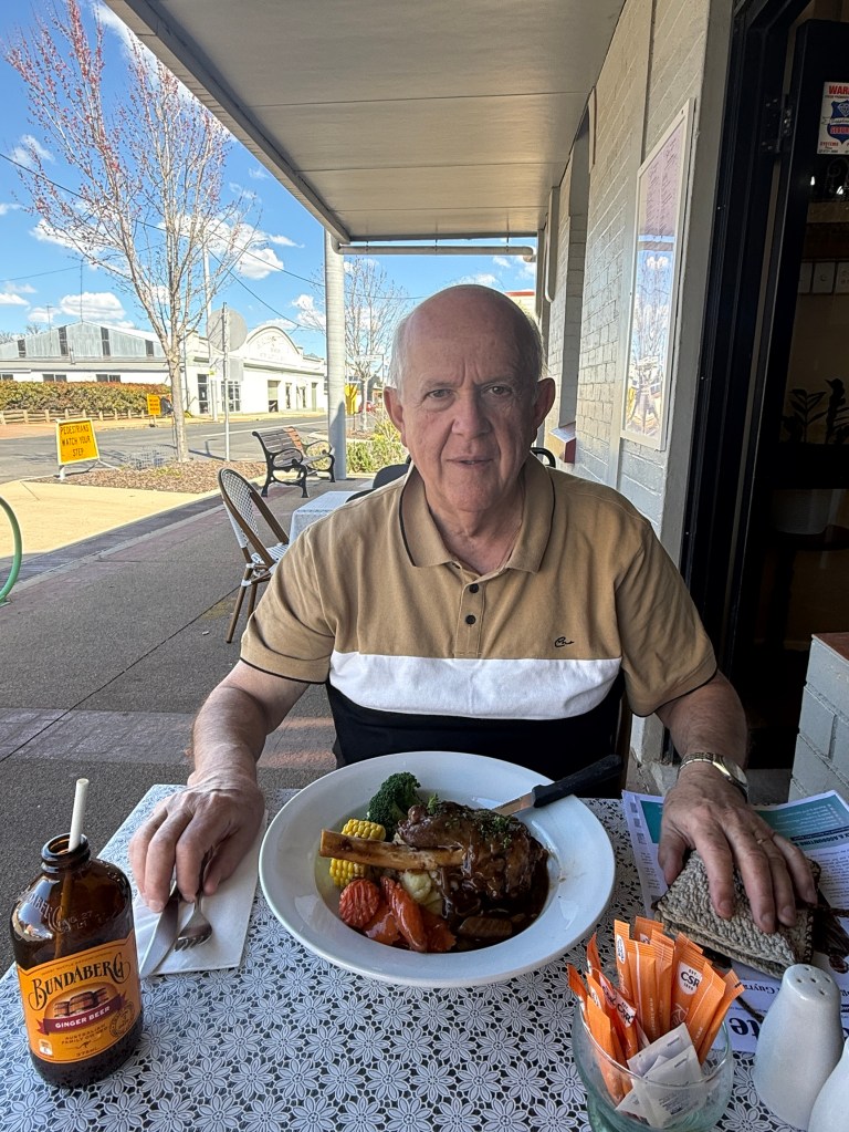
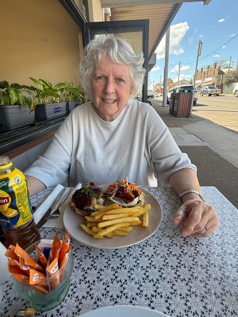
After the Tomato visit we stopped for that lunch snack at the Blind Chef. Intention was to try their pies, but alas they had sold out. Settled for a slow cooked lamb shank and a beef burger.
After lunch it was off to the nearby third must do, a visit to the Australian Poetry Hall of Fame. I think it is a self proclaimed name!
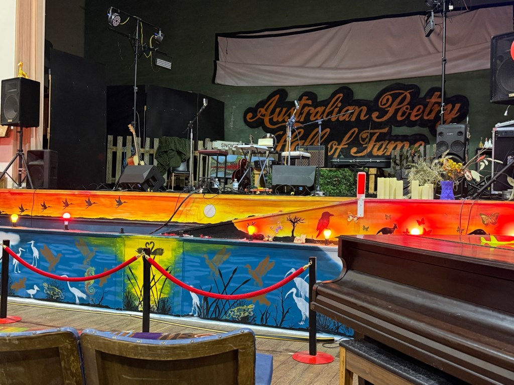
The revitalised 1920s Arcadia Picture Theatre and Dance Hall that closed in the 1970s is worth a long look see.
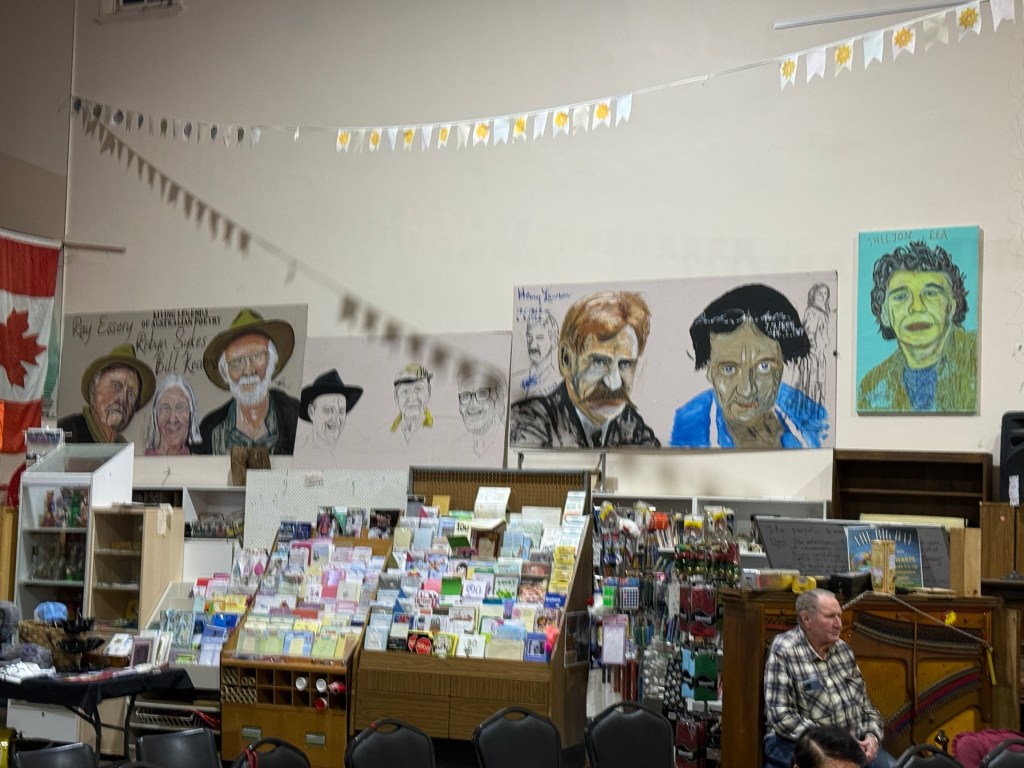
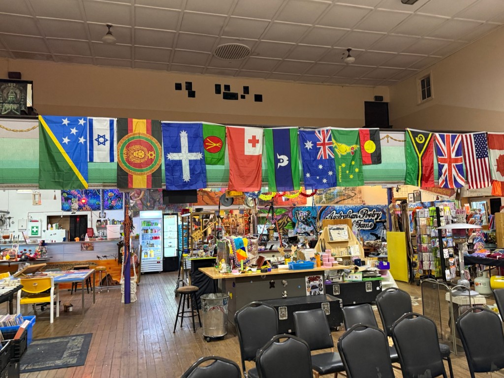
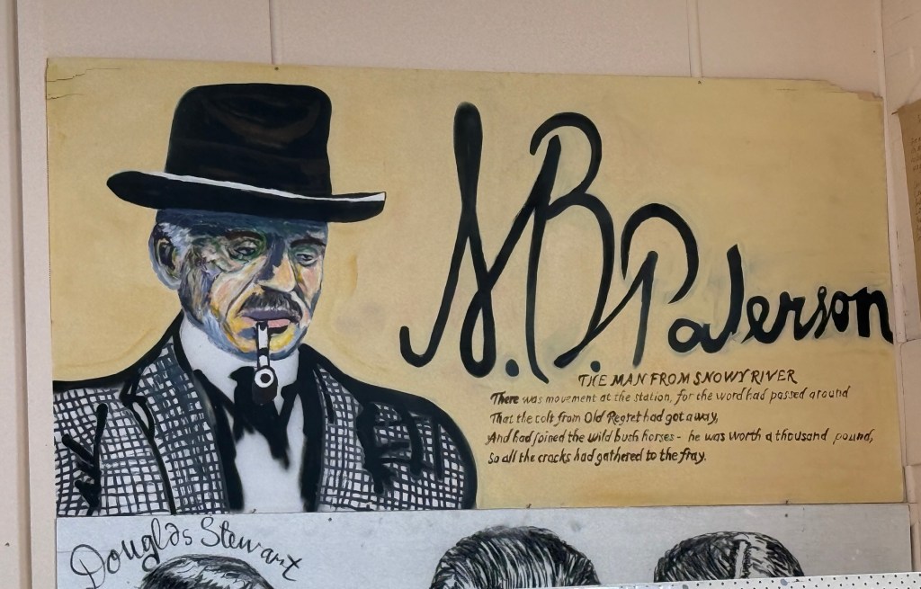
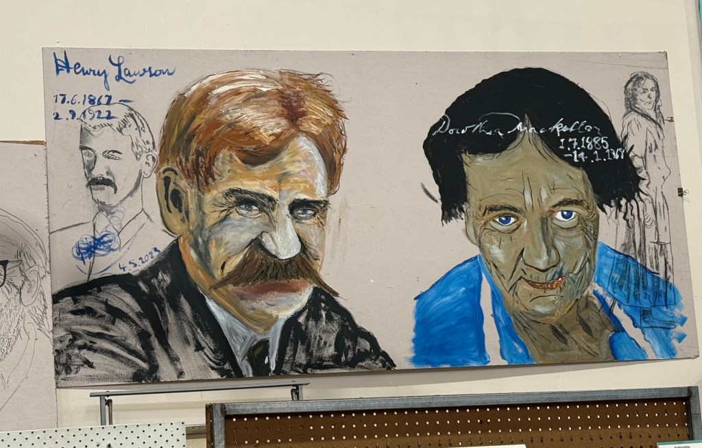
The current owner has adorned the walls with his caricatures of numerous Australian poets from Banjo Patterson and Henry Lawson to modern day legends like Les Murray.
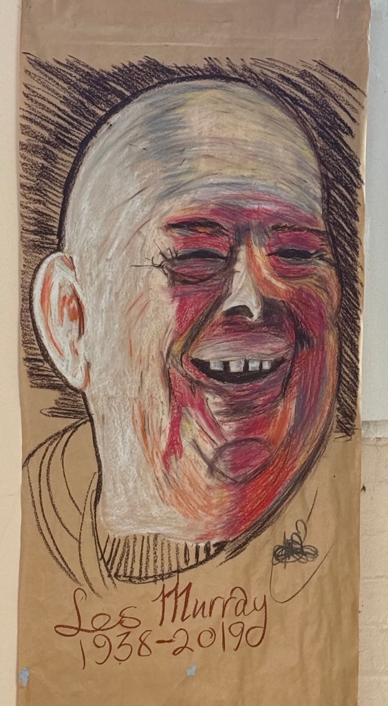
There is a large library of poetry books and donations of these are gratefully received. The venue also hosts poetry recitals and a weekly open mike event Wednesday Words, a cafe and Saturday morning markets. A big selection of second hand vinyls is also available for purchase.
We were fortunate in that while we were here they had a musical duo perform in the evening.
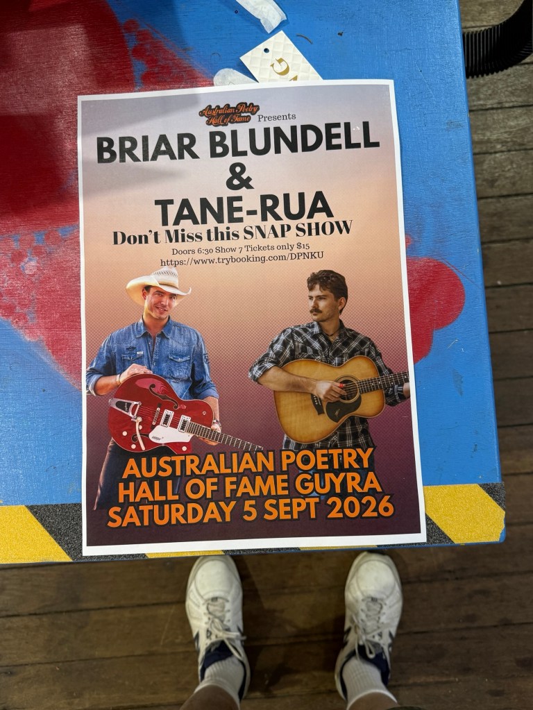
Tickets for the show were $15 and we also had a sausage with onion on a slice of bread for a pre show snack! There were 10 of us in the audience including the sound man and the proprietor!
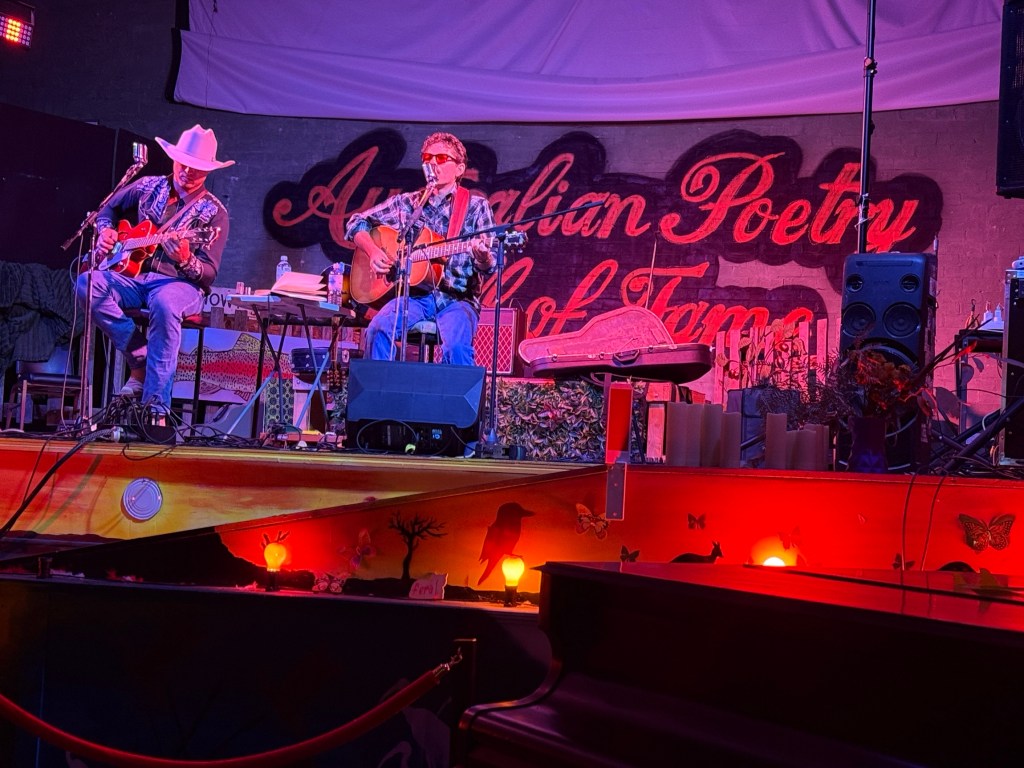
The guys weren’t bad, Tana-Rua an interesting voice. Briar a little hard to hear, maybe the mike was a bit sus. Show went for a couple of hours. They were on the road back from shows in Newcastle to home in Brisbane, perhaps the performance was a favour for the Poetry Hall of Fame. Bit of unexpected fun anyway!
If there is a fourth must do it would have to be the annual Lamb & Potato Festival held over the last two weeks of January. Maybe we will be there sometime.
But now it is off a bit east, away from the New England Highway, to Ebor on the Waterfall Way.
Guyra
We made it to Guyra mid afternoon for two nights and set up camp in the Summit Caravan Park. It is claimed to be the highest caravan park in Australia, just out of town on the south side. Guyra is the highest town in the New England region at 1,330 metres.
The town is historically known for sheep grazing and potato growing, having an annual Lamb and Potato Festival to celebrate this heritage.
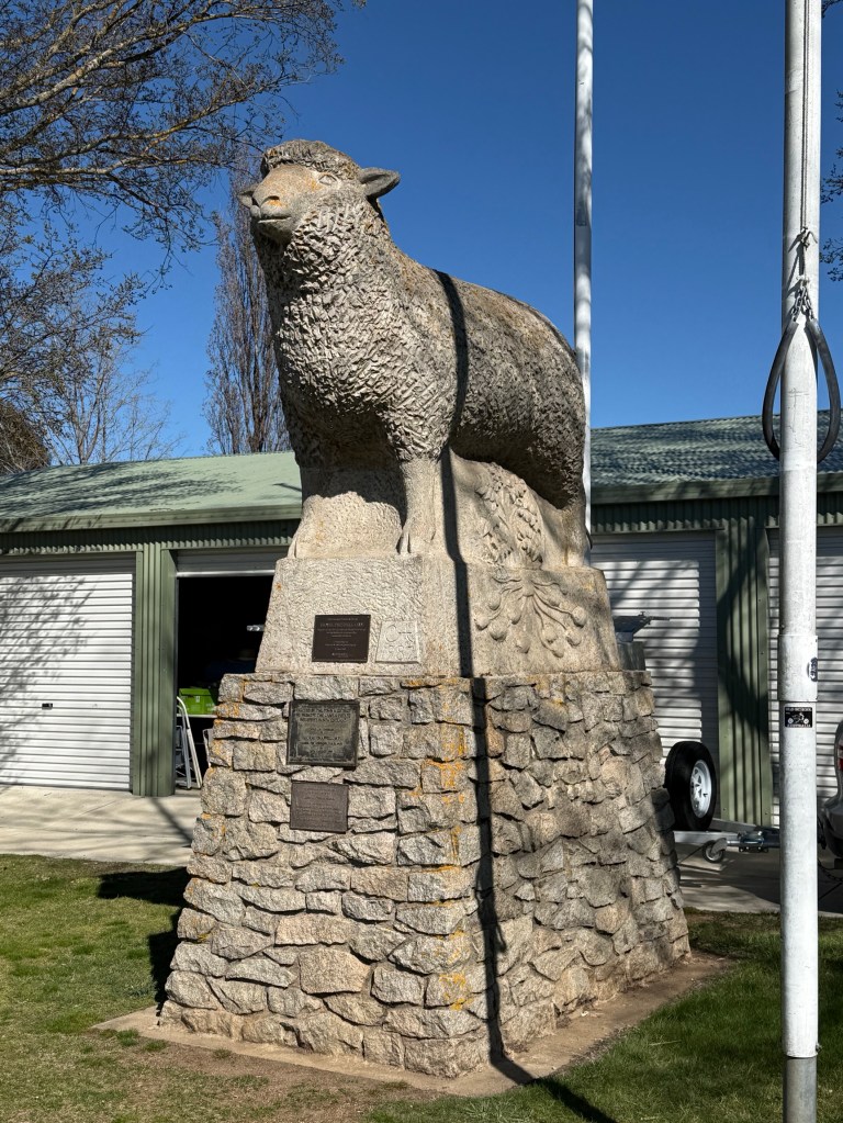
The Summit is not the finest park we have been in, seems to focus on permanents and seasonal worker accomodation.
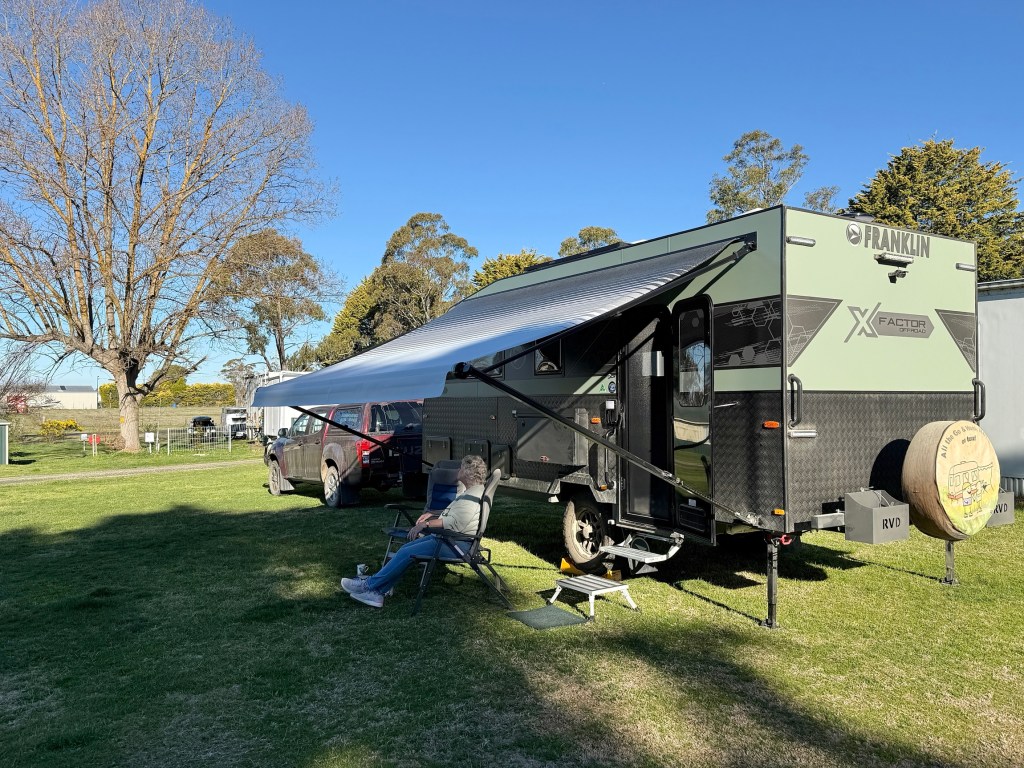
We were on a big open grassy area which was ok, park and some of the amenities could do with improvement projects.
After settling in we went into town to walk the short main street and top up the pantry. There are a number of quirky nick nack places full of ‘antique’ gems. Couldn’t resist a box of four cheese plates, bargain.
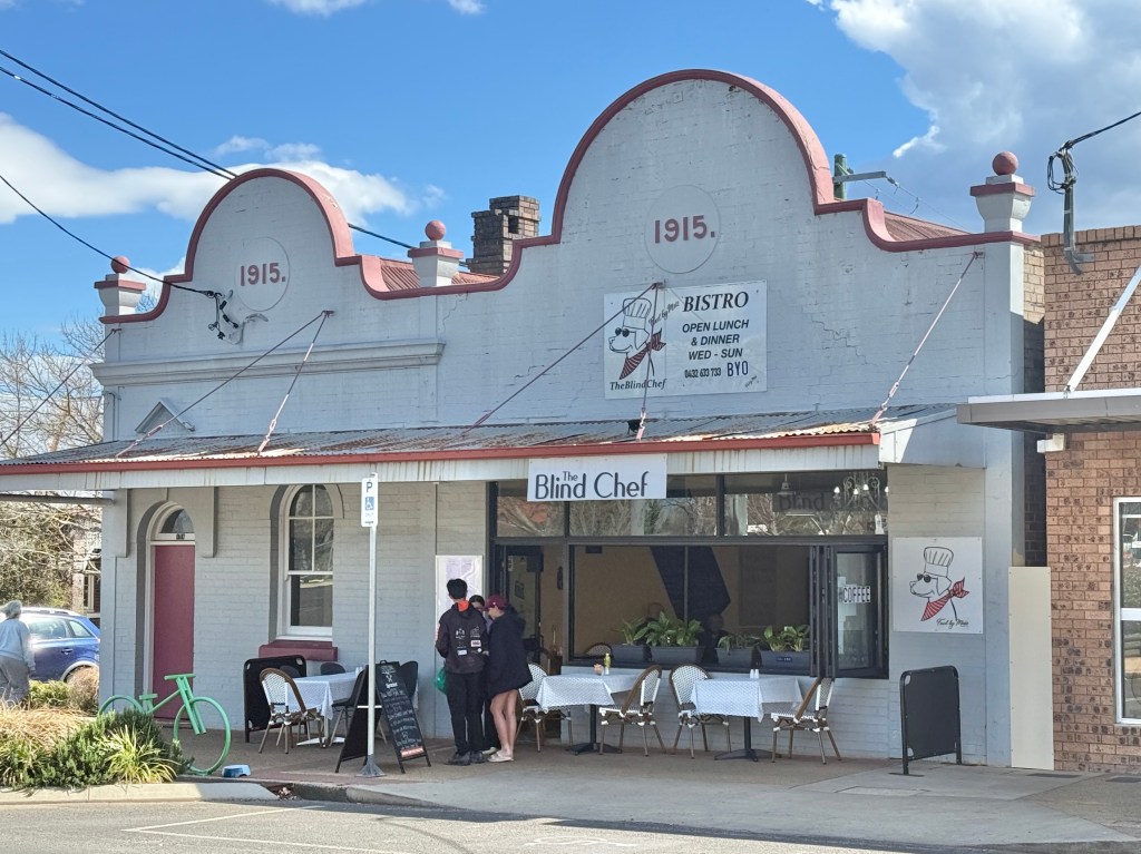
Eyed off the Blind Chef for a lunchtime snack.
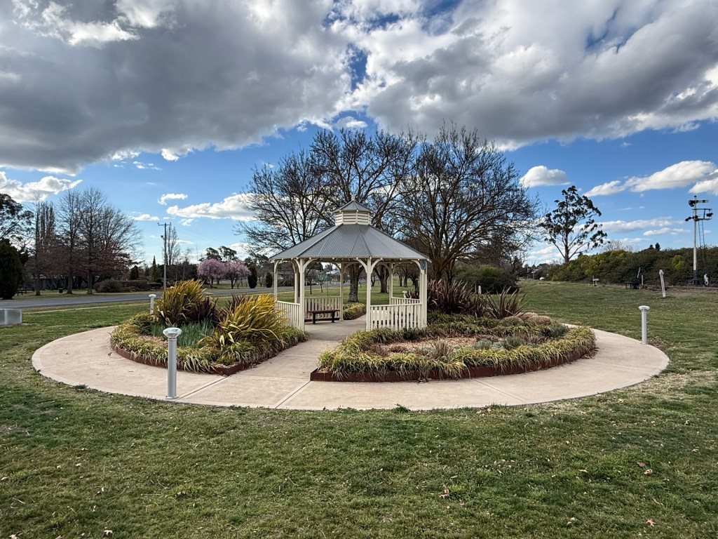
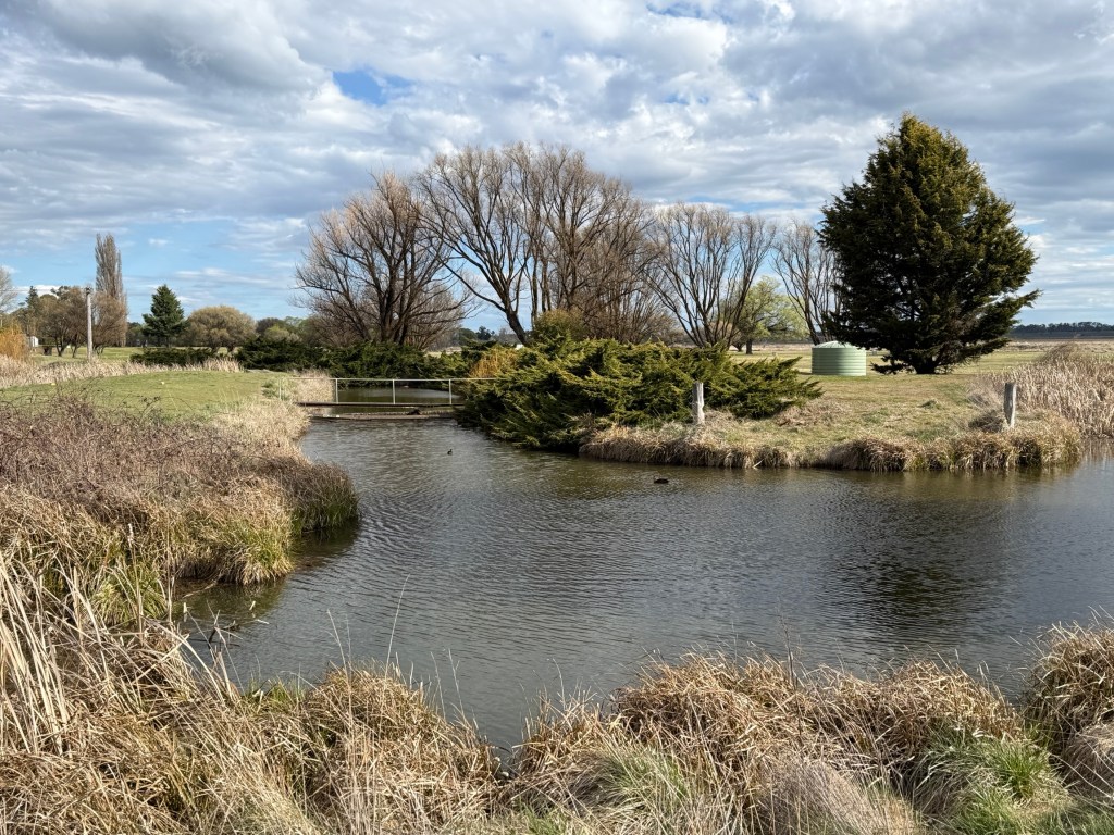
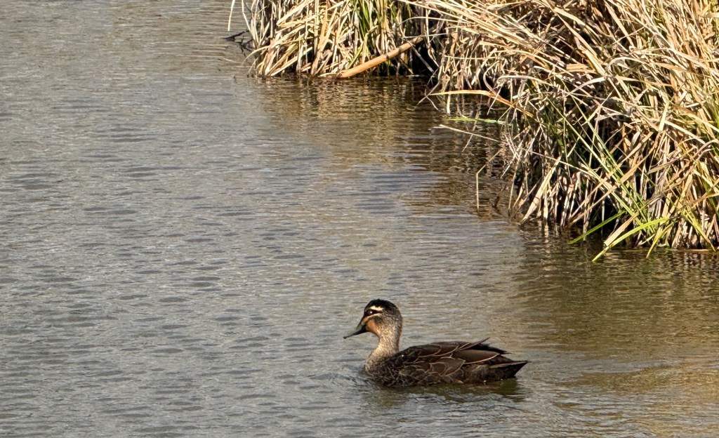
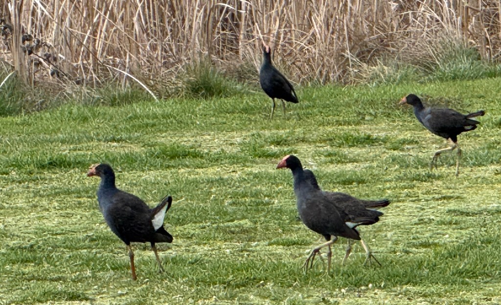
Guyra’s main environmental attraction is the Mother of Ducks Lagoon Nature Reserve. This is a rare high altitude wet land seasonally populated by migratory birds from various parts of the world. Parts of the Reserve appeared to have dried up. However, there was a network of channels running through the area that would probably overflow into the dry areas after heavy rainfall. Only a few ducks in the water today and a flock of swamphens running around on the grass.
Early in the evening we returned for dinner at the Royal Hotel, ‘most’ towns in Australia we have found have a Royal Hotel.
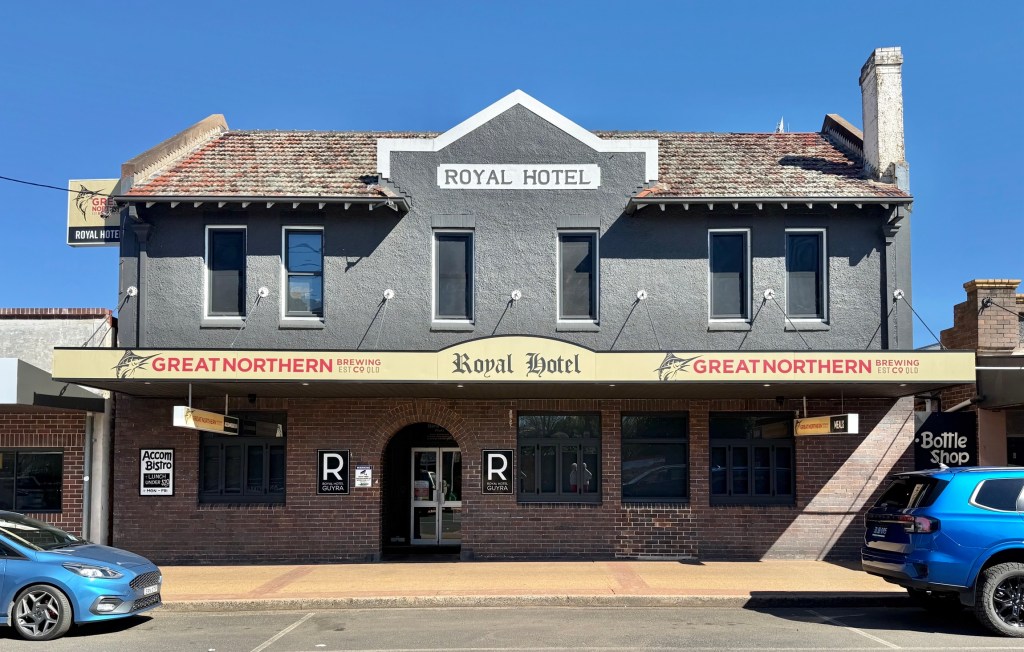
This one is unusual though in that it has been moved from another location and was repositioned with its former long front to back side remodelled and now facing the street.
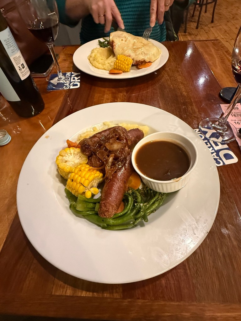
Back to the van park after dinner, quite a chilly night. We gave the diesel heater a work out! More of Guyra in the morning.
A few birds
At Mulligans and on the Old Grafton Road we have come across some interesting birdlife. Some will sit a little while to have their picture taken. Others flit around to avoid having their picture taken.
Here are some who sat around for just long enough!
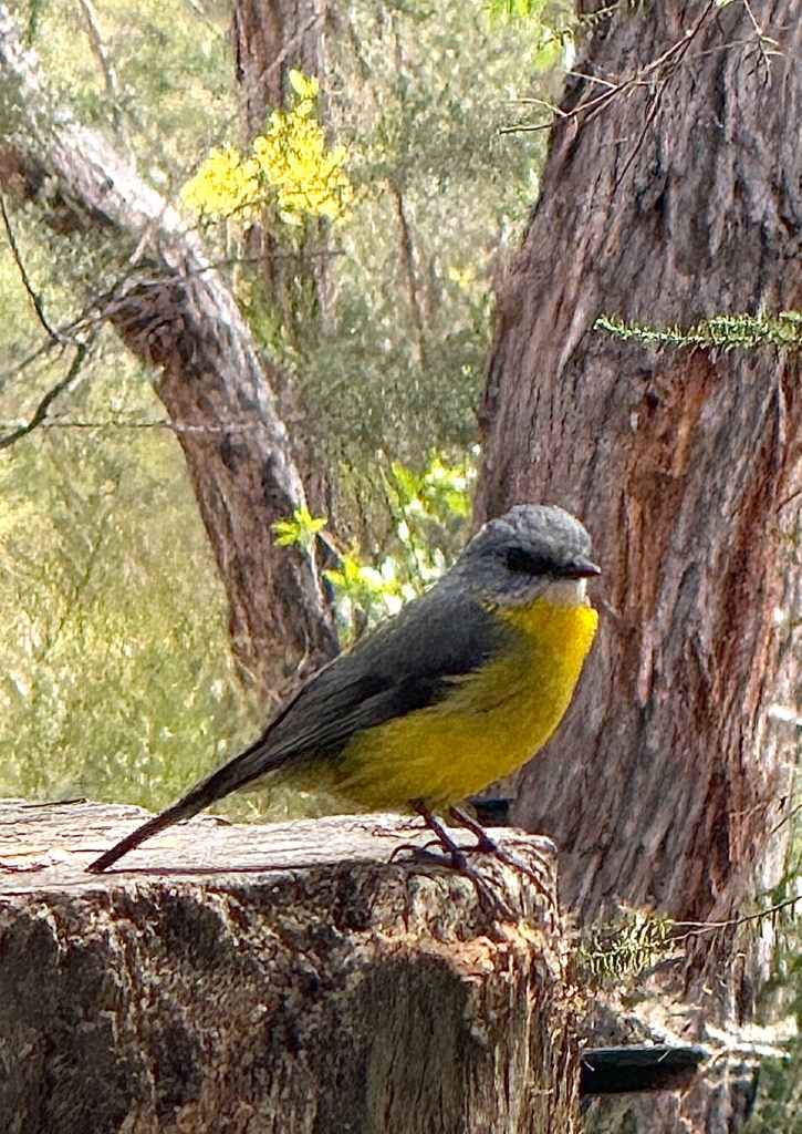
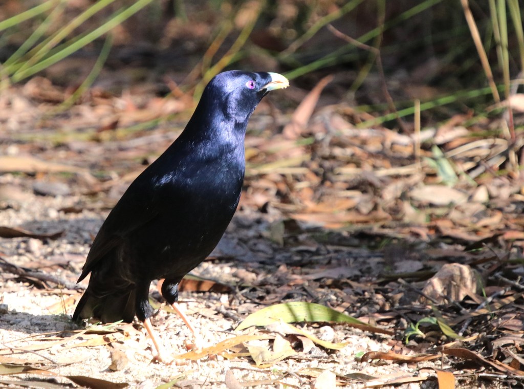
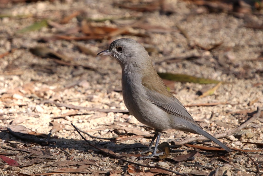
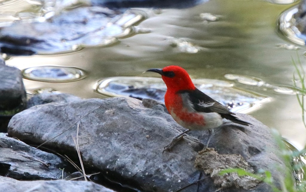
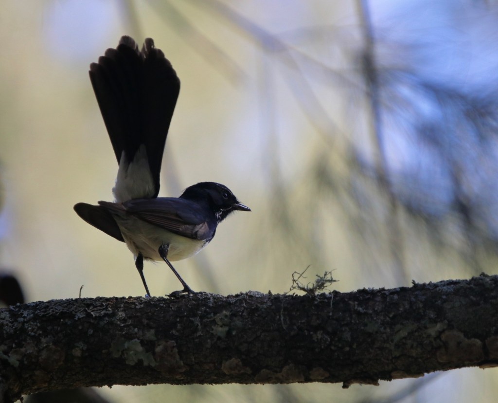
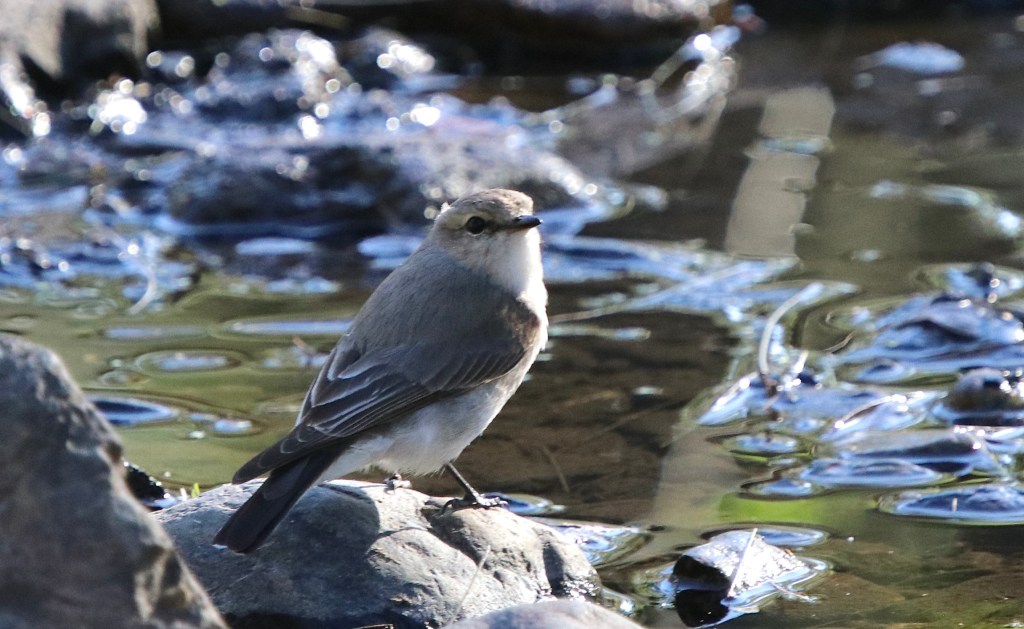
Thats all folks, we now head for Guyra south of Glen Innes on the New England Highway.
Old Grafton Road
We have used Mulligans camp as a base for a day to explore the Old Grafton Road. It runs from a turnoff about 10 km outside Grafton on the Gywdir Hwy and then rejoins the Gywdir about 35 km from Glen Innes. All up about 175 km.
The road was opened in 1887 and was the main access road from the Tablelands to the Coast until the Gywdir was developed in the early 1960s.
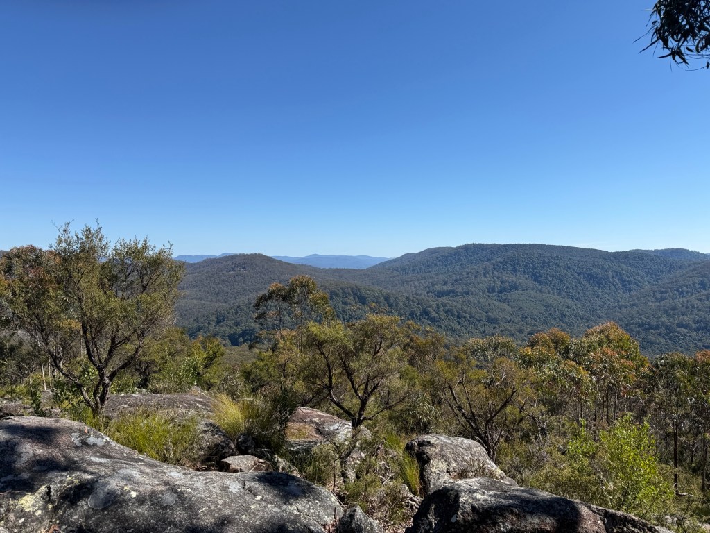
We left Mulligans around 8.30am and headed down to the Grafton turnoff, 65km. There was a brief stop at the day use area of the Washpool NP and a short walk to the lookout there.
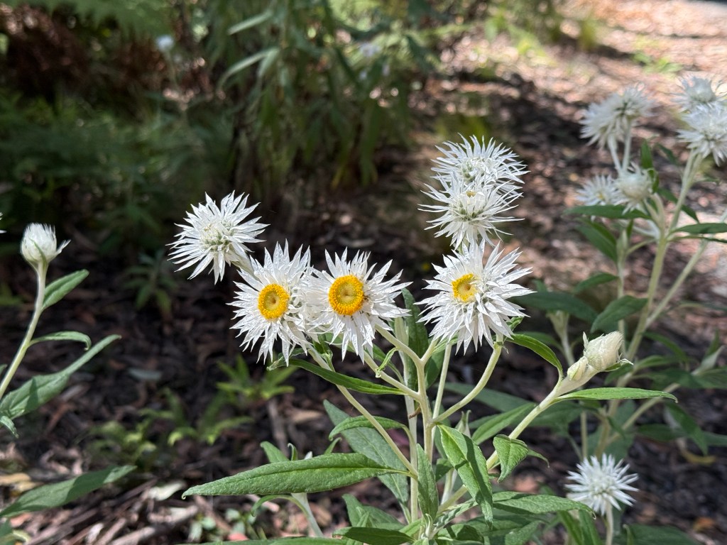
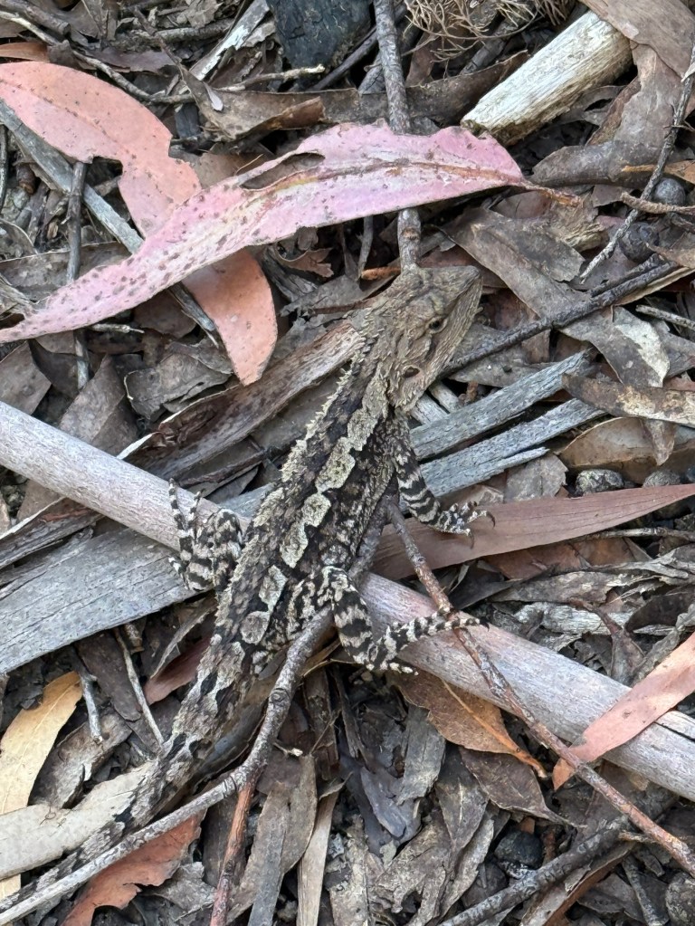
We were hoping to see a Gibraltar Waratah, endemic to the Gibraltar Ranges. But we are too early in the flowering season which starts towards the end of Spring.
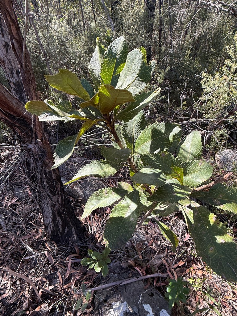
We did see a flowerless plant, so maybe we will come back again sometime and see the flower.
In the early days the Old Grafton Road developed in response to population build up due to gold discoveries and later timber getting when the gold ran out. At the height of the gold rush 20,000 people occupied the valley in several towns. They are long gone and not much remains of their time here. Today farming and grazing are the main activities along the river flats and nearby scrubland. There are not many people in these parts and zero traveller’s services.
At either end of road there is about 40km of bitumen of varying quality. The Grafton end is easily driven. The Glen Innes end though rises steeply and in parts narrowly, with numerous hair pins, for 17 km from the Mann River.
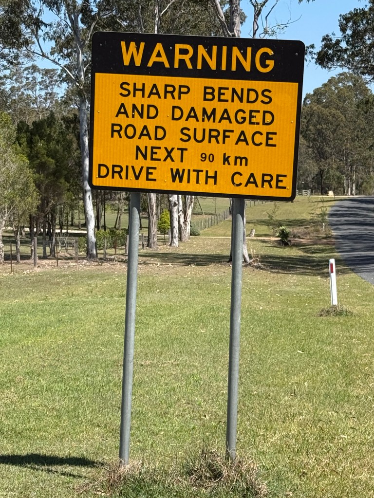
Now, the bit in between these two ends is the real interesting part and why we did it! The sign indicated an adventure was at hand!
The middle section is 90 km of fairly rough narrow twisting gravel road. Sometimes running high above the rivers below with steep drop offs in some places. In parts one lane only with occasional passing places. There were of course some very pleasant sections as well to enjoy the views.
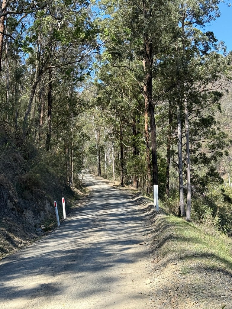
We encountered about 10 cars during the day coming the other way and by good luck it was on wider sections! So no hairy manoeuvres were required.
We crossed the Nymboida River at Buccarumbi one of the old towns with little remaining, a couple of houses overlooking the river.
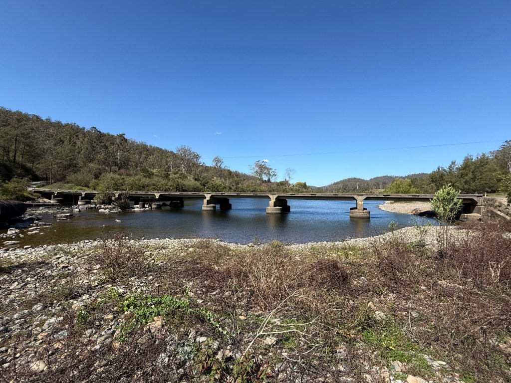
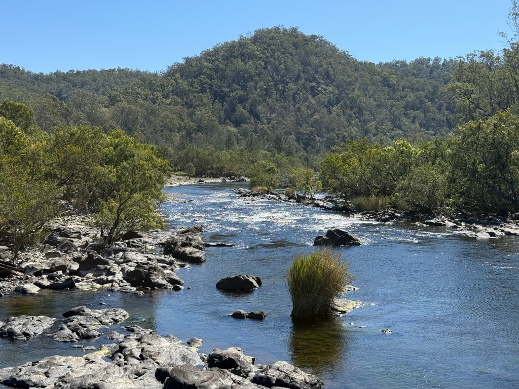
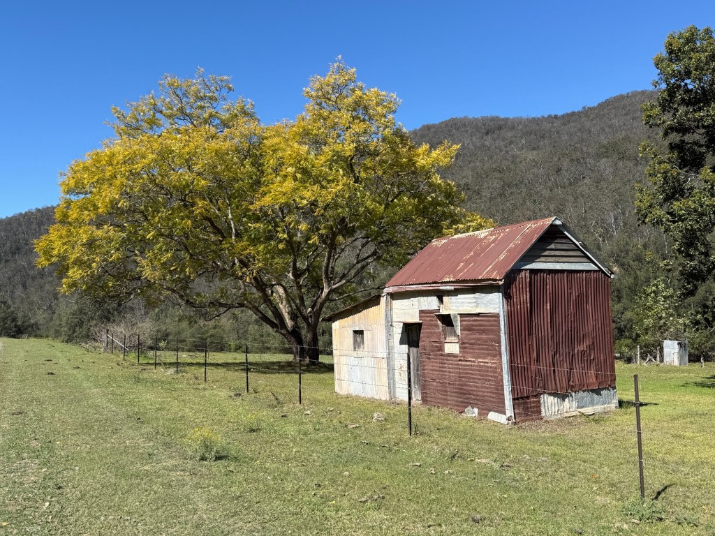
A little further along we came to the site of Dalmorton, a few old buildings remain. Ghost town like.
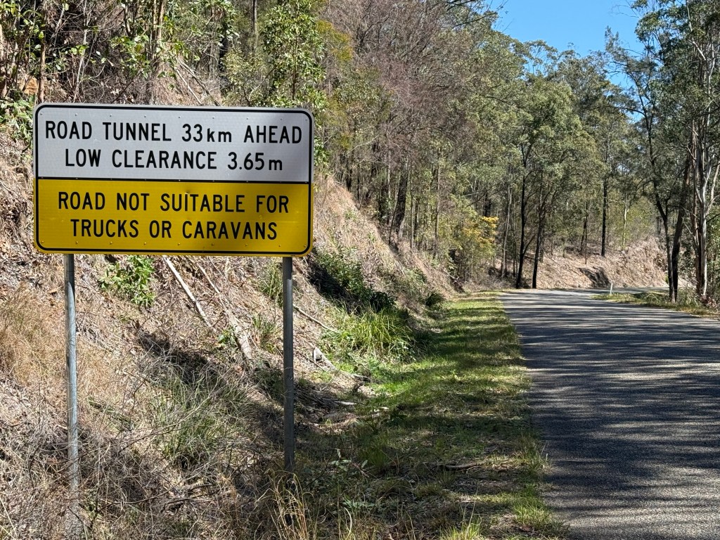
After Dalmorton we encountered one of the major features of the road. The forewarned tunnel.
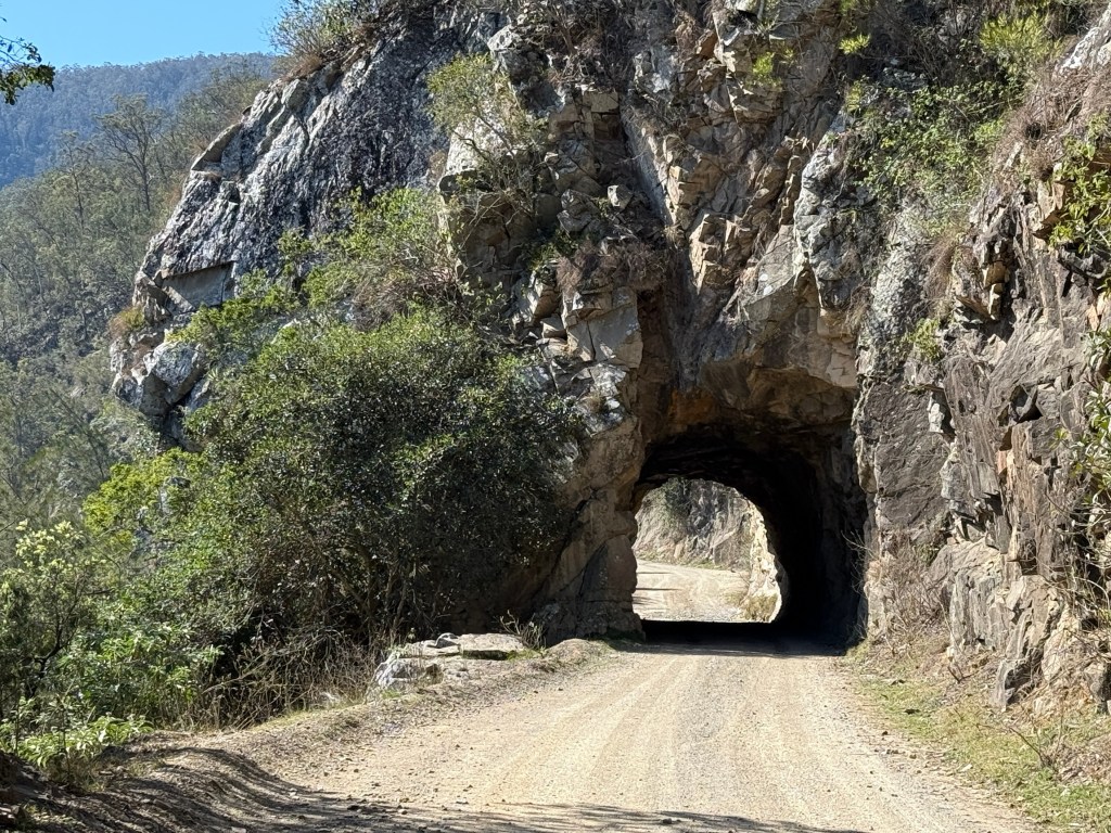
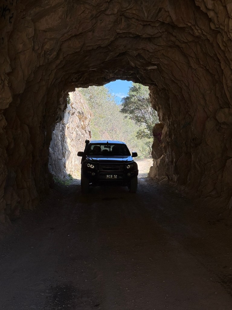
The impressive 20 metre hand cut tunnel has a clearance of 3.3 metres. The clearance seemed more than this, the suspicion being that periodic road grading increases it! Definitely one way and would be a challenge for some larger caravans.
We paused for a late picnic lunch on a grassy bank beside a slow moving creek, more a back water.
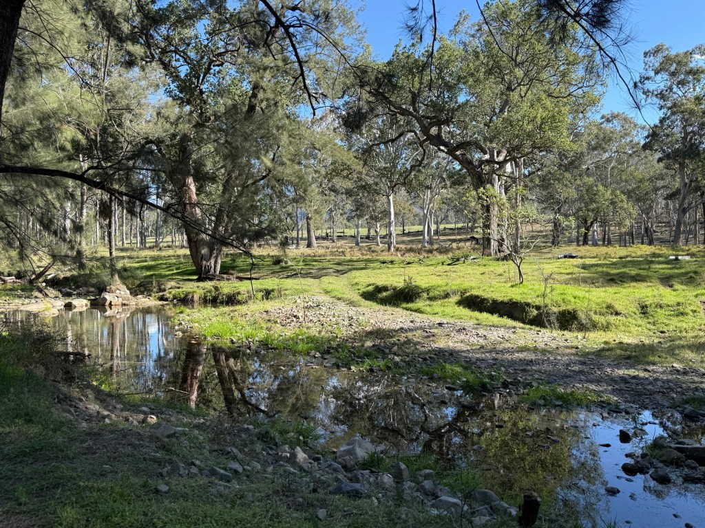
It is difficult to get close to the river banks because much of the land between the road and river is private property. We had passed up a couple of good spots earlier at Dalmorton for a riverside lunch. After lunch we moved on past an area known as Newton Boyd, the Boyd River is nearby.
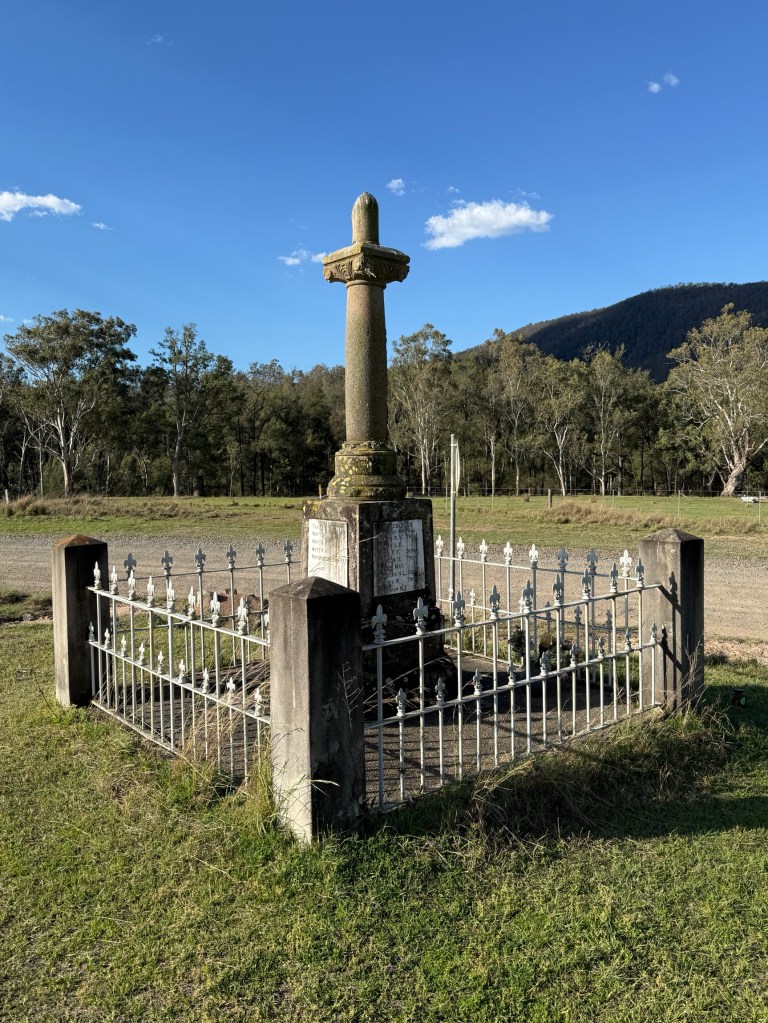
Here there is a memorial to some 30 young men who left Newton Boyd farms to enlist in WW1. Only one returned to the valley and was ironically later killed in a rock slide.
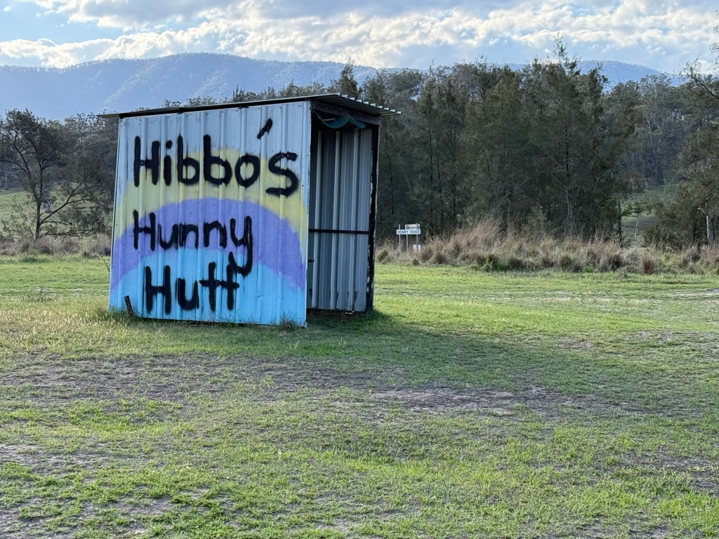
Couldn’t resist getting a souvenir from Hibbos Hunny Hutt. The stall was stacked with various honey products, goat soap, candles and infused salts. The raw Stringy Bark honey could not be resisted.
After Newton Boyd the road meandered on through some rolling cattle countryside before descending to the Mann River, there is a National Park Nature Reserve here with a few campsites overlooking the river. A pleasant spot.
We had rejoined the blacktop a few kilometres before reaching the Mann River bridge. From here the road climbs for 17 kms out of the valley up to the Gwydir Highway with many twists and turns, hairpins a plenty.
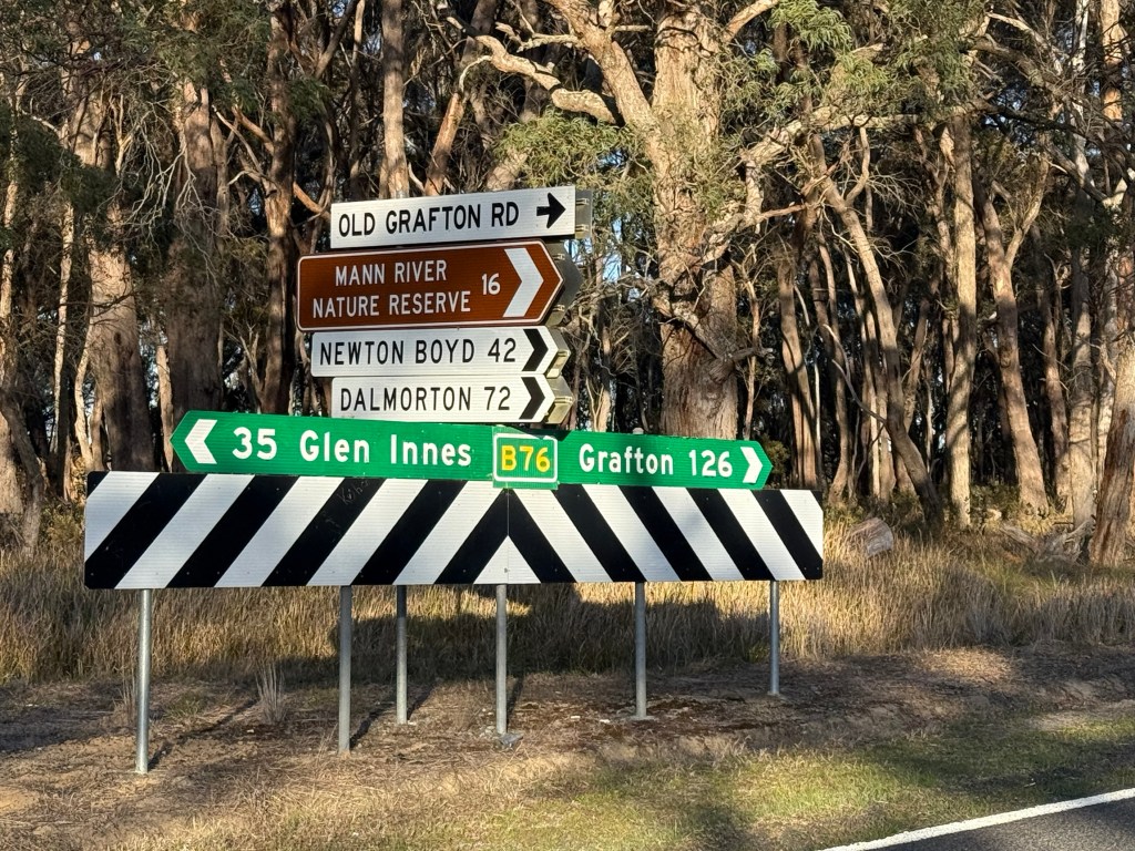
When we reached the highway it was back to Mulligans Campsite, about 35 kms. Got back about 5pm, a long day on the road.
Why did we do this adventure? Because it had to be done. After all its not the destination its the journey!
Mulligans campground
The ten km gravel track into the campground is quite good, mostly hard bush gravel, and only lightly corrugated on corners. Smooth journey in with some narrow sections.
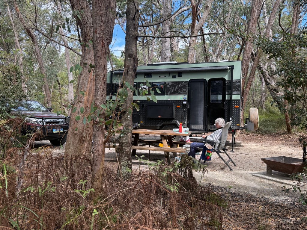
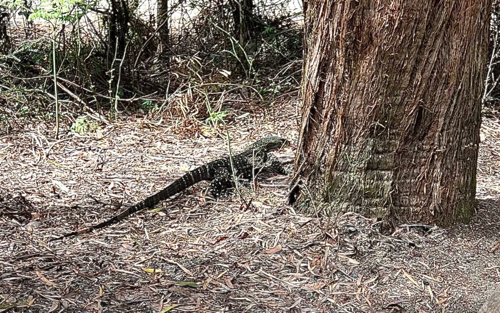
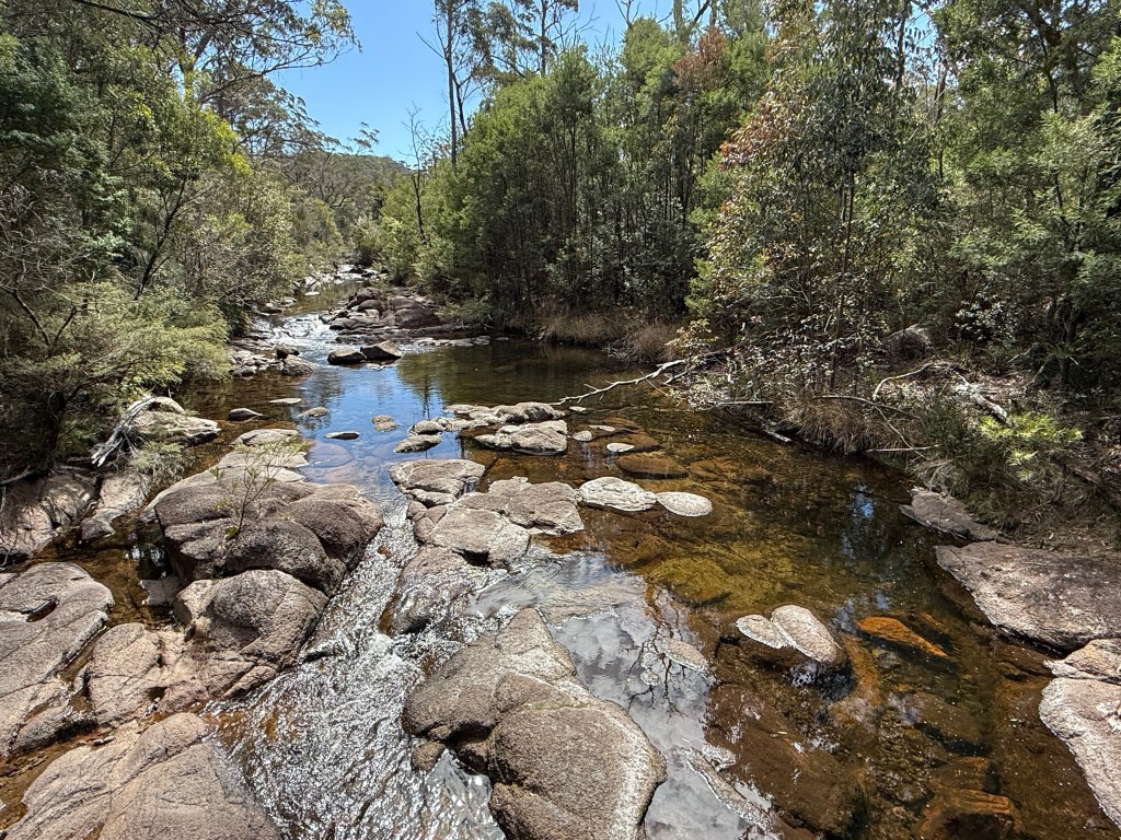
Big camping sites equiped with a fire place, table and non potable water on tap. The campground is a short distance uphill from Little Dandahra Creek, populated by platypus. They are very shy creatures and we didn’t see any on a late afternoon stroll.
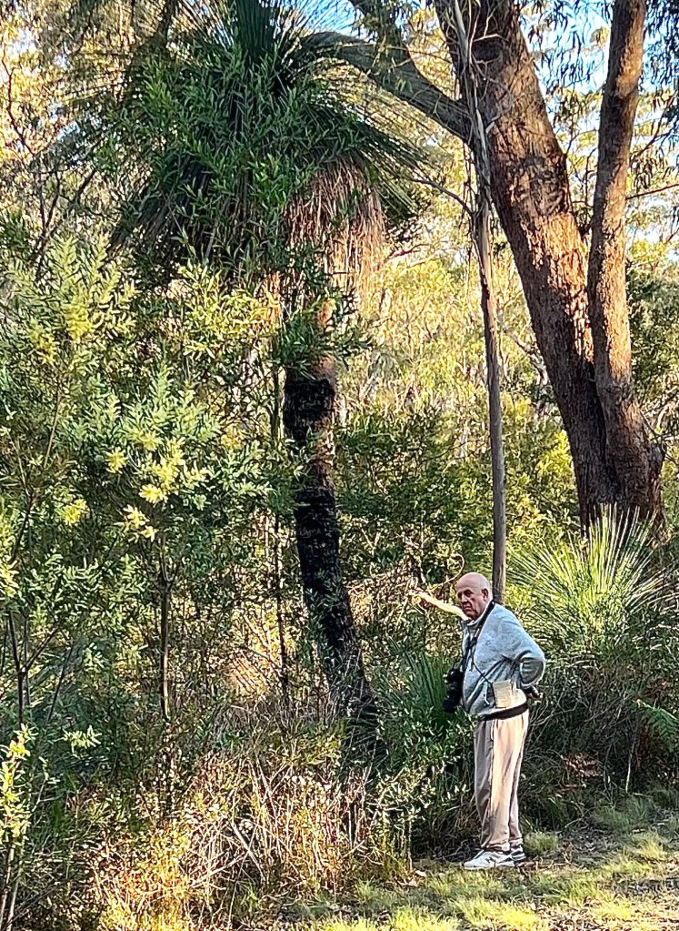
Allthego headed off on the 6 km return walk to the Needles, these are a peculiar rock formation on the cliff edge overlooking a valley in the NP. Homealone remained in camp to catch up on some craft, keep track of the time and send out a search party if needed.
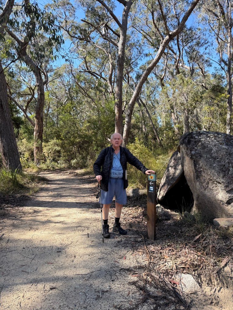
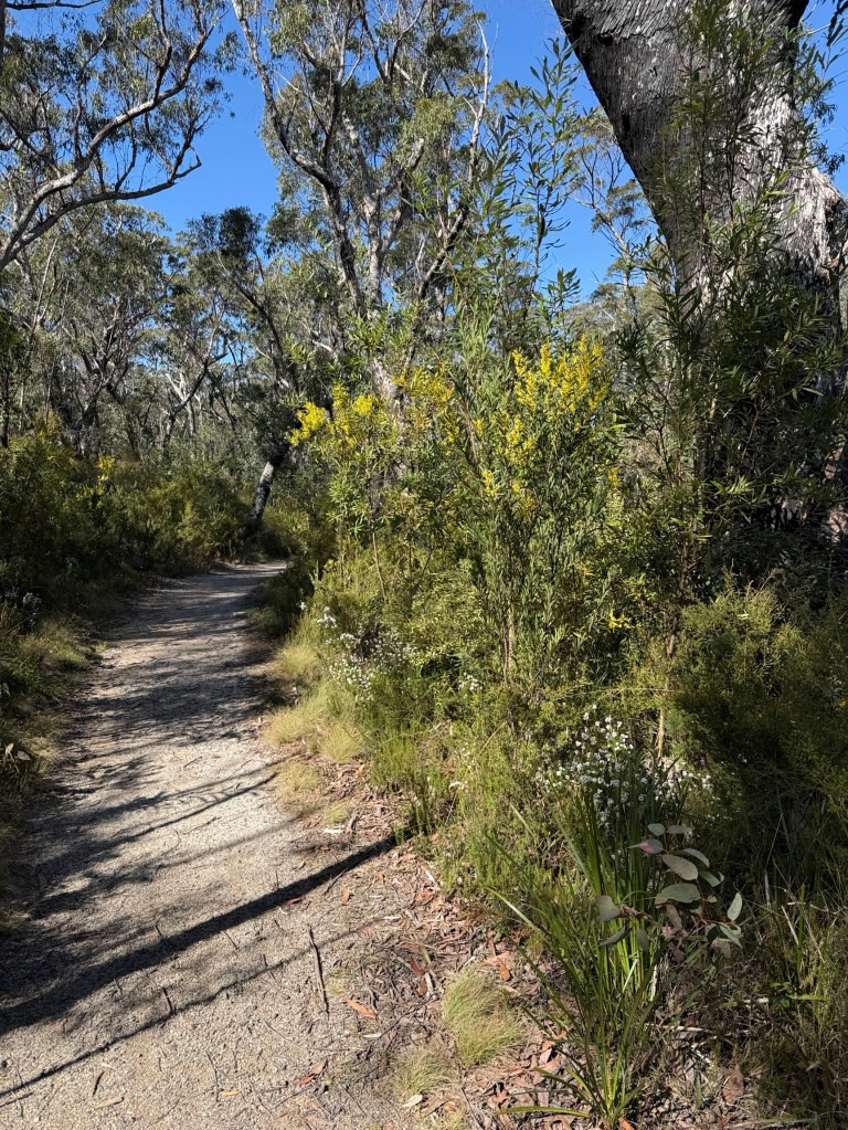
The walk is fairly gentle, mostly an uphill stroll on a wide path with a couple of dips along the way before rising again.
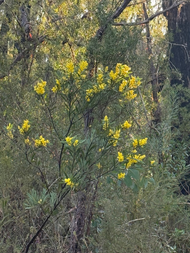
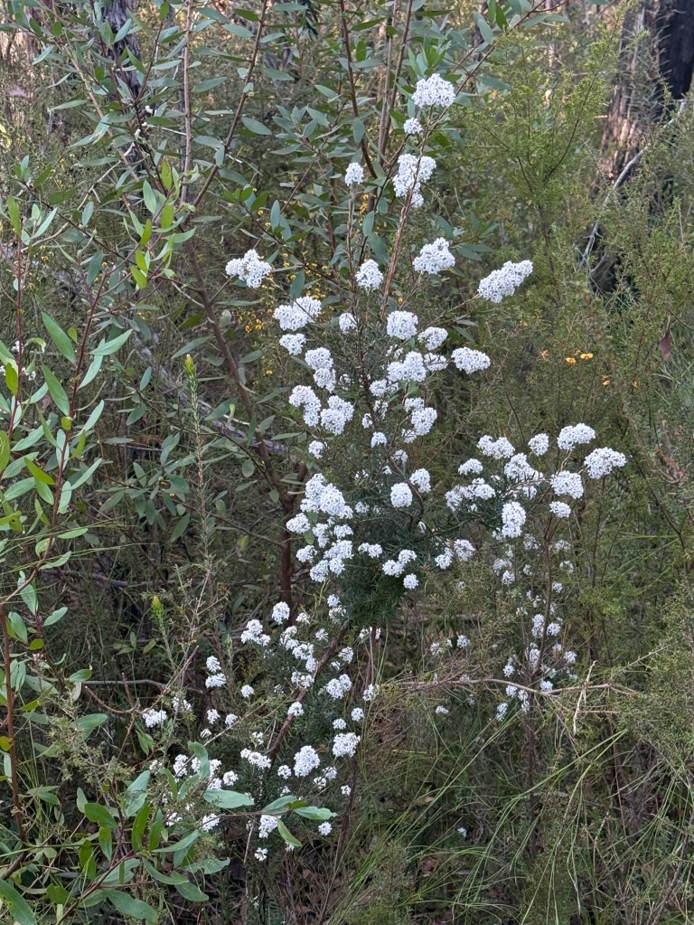
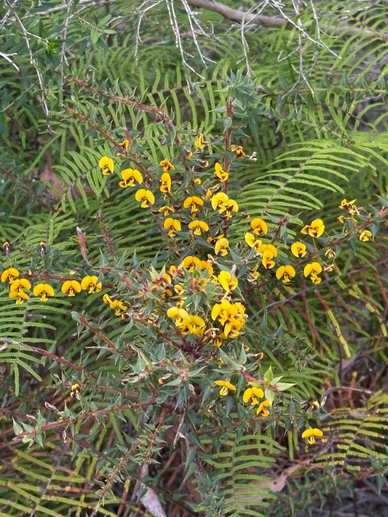
The vegetation varies along the way from open woodlands to some rainforest areas in the gullies. Plenty of wildflowers were out, particularly wattles.
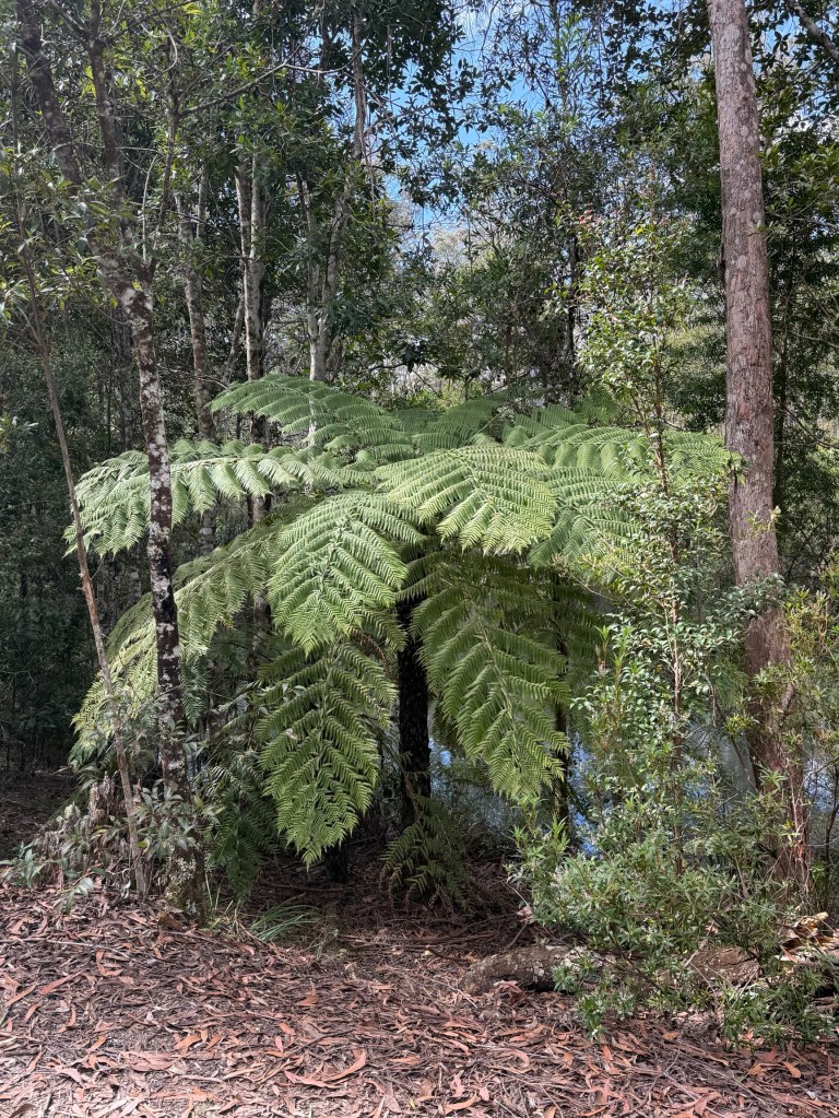
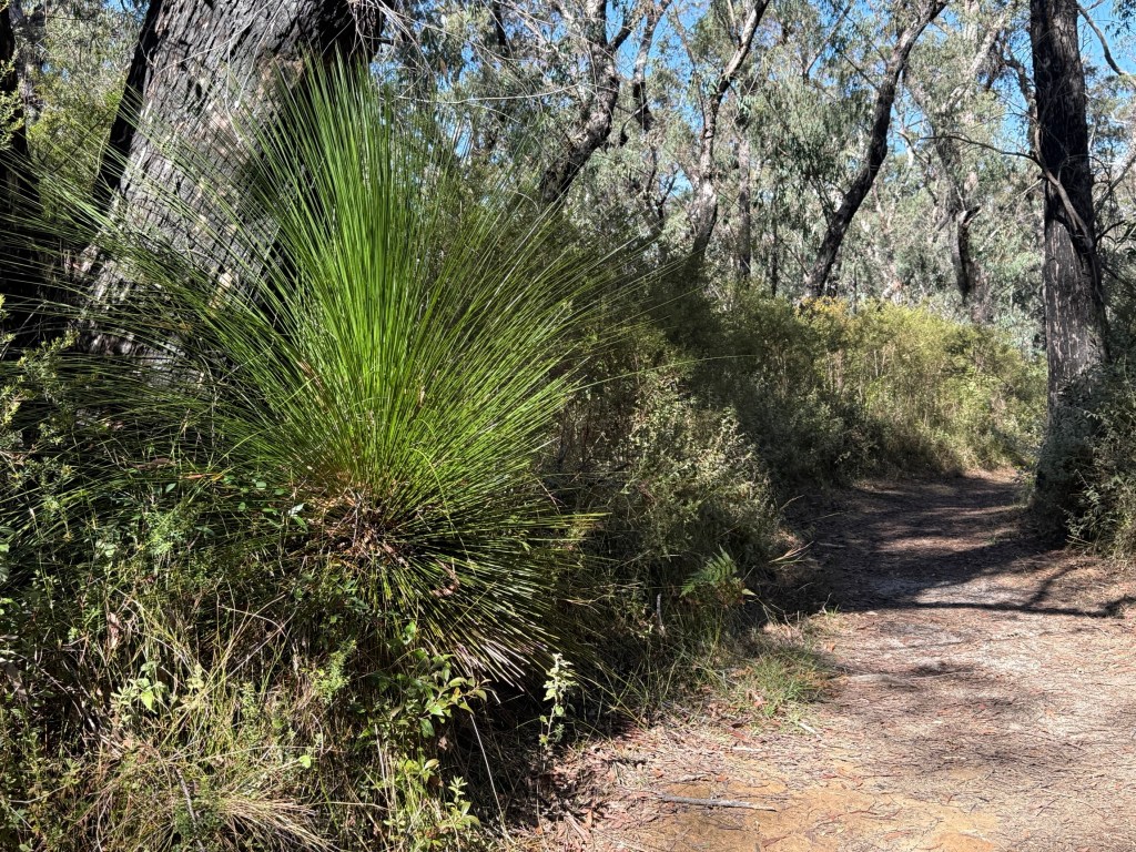
The track narrows about two thirds of the way along and there is a short rocky decent before reaching the viewing platform.
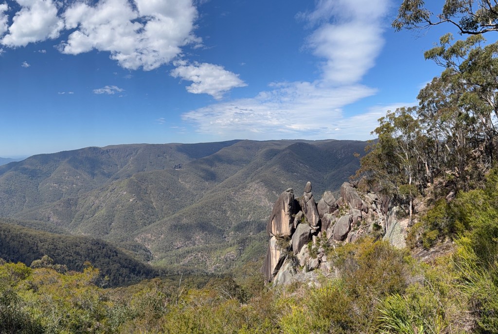
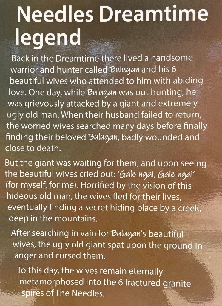
It is a great view out over the landscape with the granite spires in the foreground. Our indigenous people believe them to be the six metamorphosed wives of the warrior Balugan. Here is the story:
Getting back to camp was a little quicker as it was basically a gentle downhill walk to Little Dandahra Creek. Beside the creek is the restored Mulligans Hut .
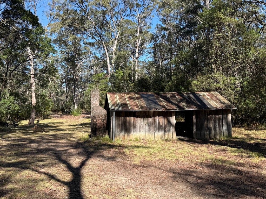
This was where an engineer lived in the 1920s while working on a scheme to dam the creek as part of a hydro electricity scheme. It never materialised.
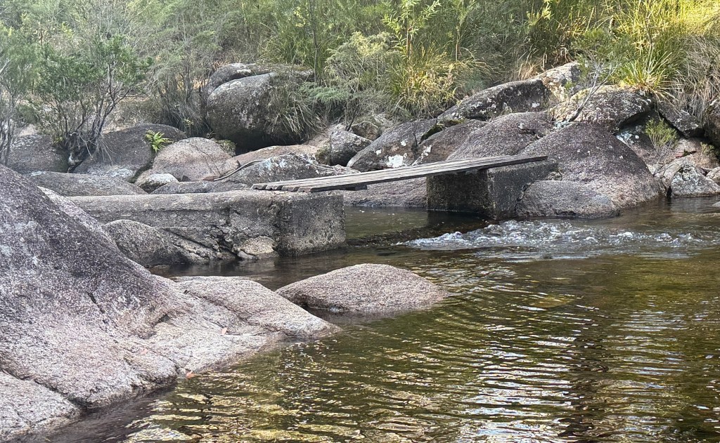
However, there remains in the creek a small concrete weir he built to measure water flows. The water endlessly bubbles over the lip and runs down into a large pond.
I will finish now with something I have learnt today (re learnt) about the use of apostrophes. It explains why Mulligans campground doesn’t have an apostrophe. Apparently, geographical place names don’t use them because they indicate ‘possession’ by someone and that is just a no no for place names. So there, maybe you knew that. I should have but had forgotten it, getting old!
Return to the New England Hwy
We have decided to head off on a trip that has long been in the plan, but deferred pending the arrival of the new van. It has now arrived and we are going to start on the New England Hwy from where we left off at the Celtic Festival in Glen Innes back in May.
The route to Glen Innes is from Grafton travelling along the Gwydir Hwy and through the Gibraltar Range NP. We are spending three nights camped in the Mulligans campground about 10kms into the NP. Might be a bit chilly at night.
Getting to Grafton is the first step though and we took the Mt Lindesay Hwy down through Beaudesert and Rathdowney. Got away from Brisbane at 8am, early for us! The plan had involved journeying along the Lions Road from near Rathdowney across the Border Ranges and down towards Kyogle.
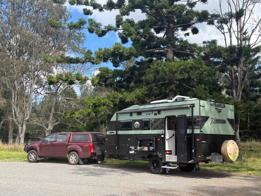
This route tracks the Sydney to Brisbane train line with the main feature being a view of the unique (as far as Australia at least) spiral train track route through tunnels in the main range. Unfortunately, there have been some land slips and the road is in parts narrow and one lane. Caravans are not wanted! We travelled along it for a short distance before taking a detour back to the Mt Lindesay Hwy and joined the Summerland Way.
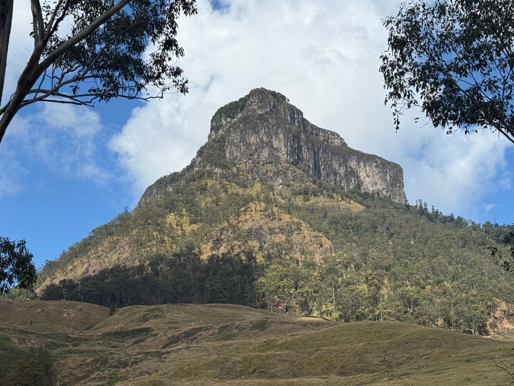
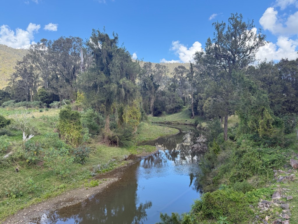
This road provides great views of Mt Lindesay, with its ‘cake top’ appearance, from various perspectives before descending into the Richmond River and later the Clarence River valleys.
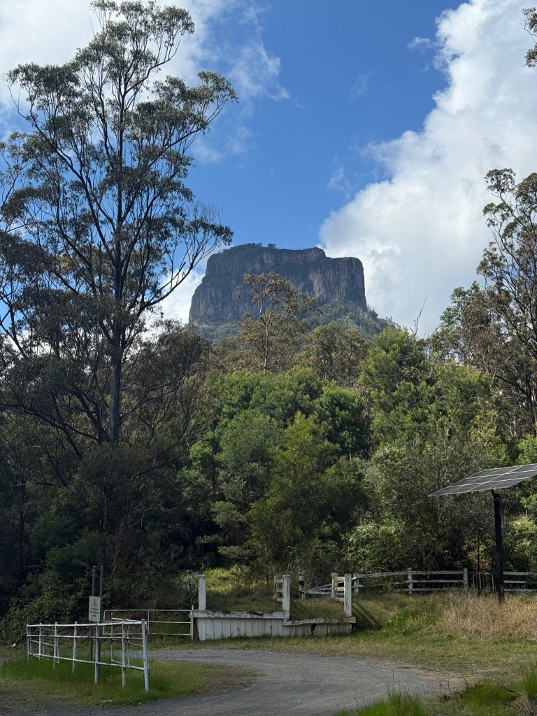
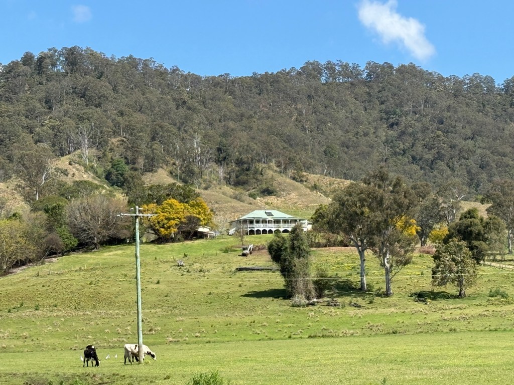
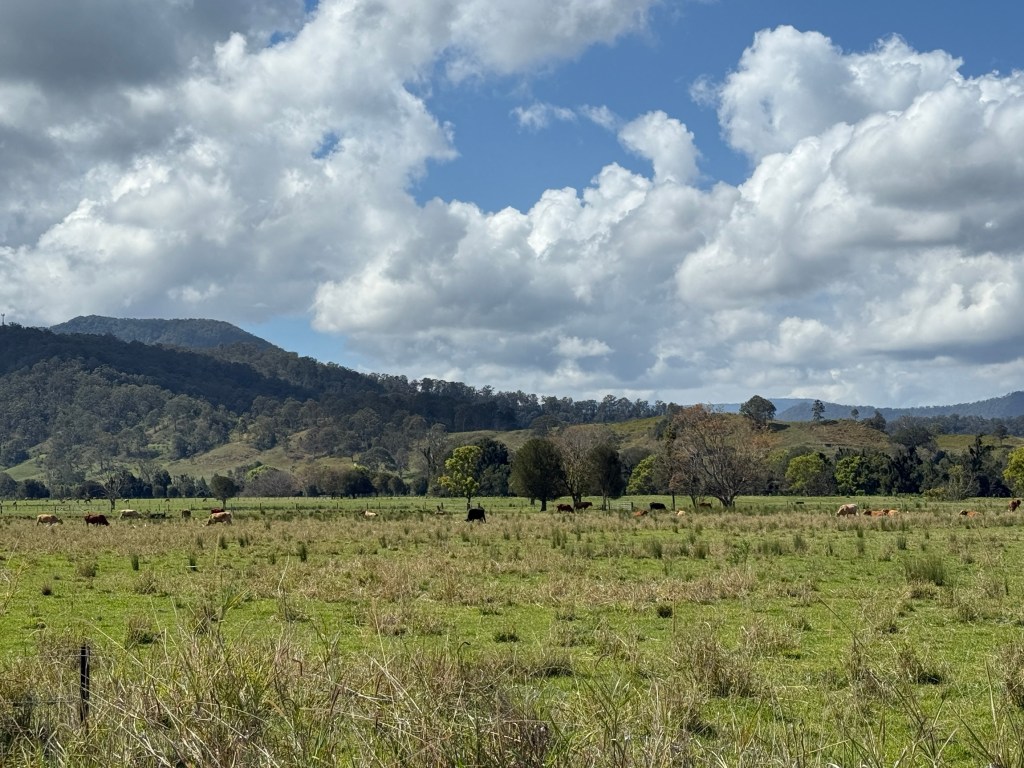
Very green pastures in these parts with many beef cattle munching away.
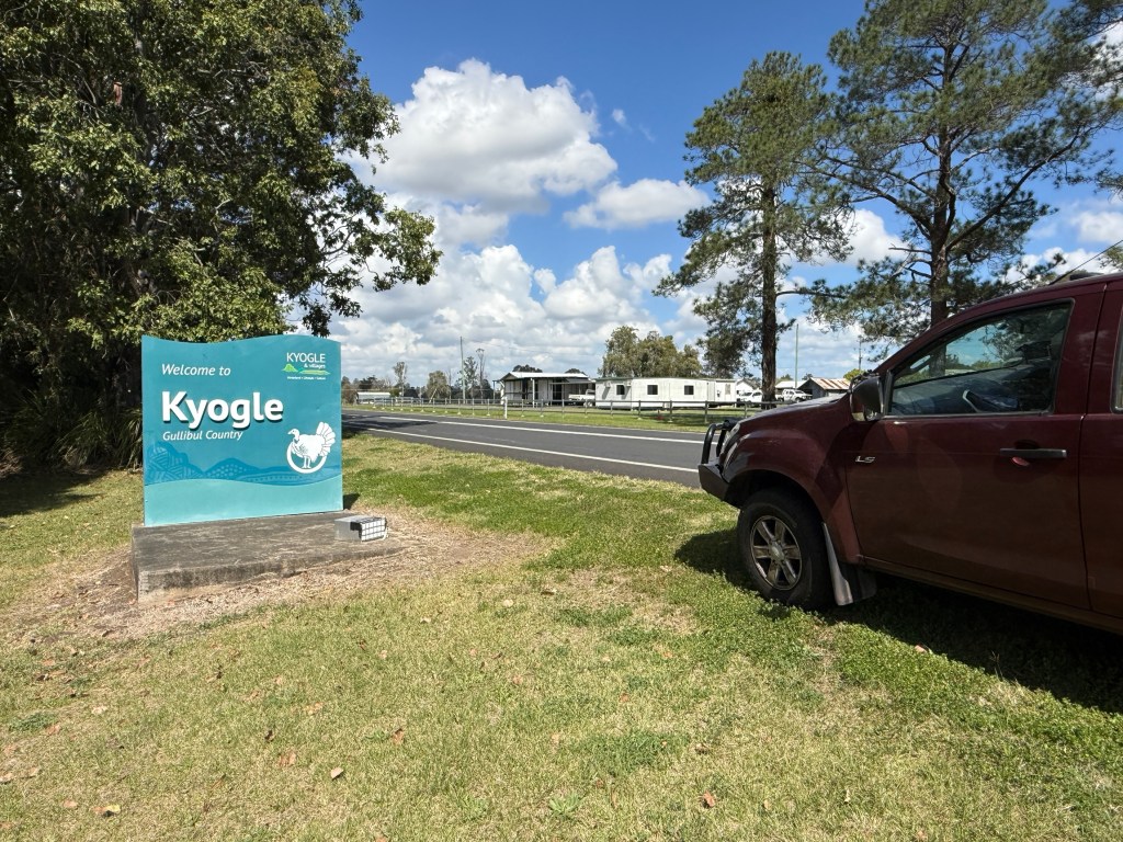
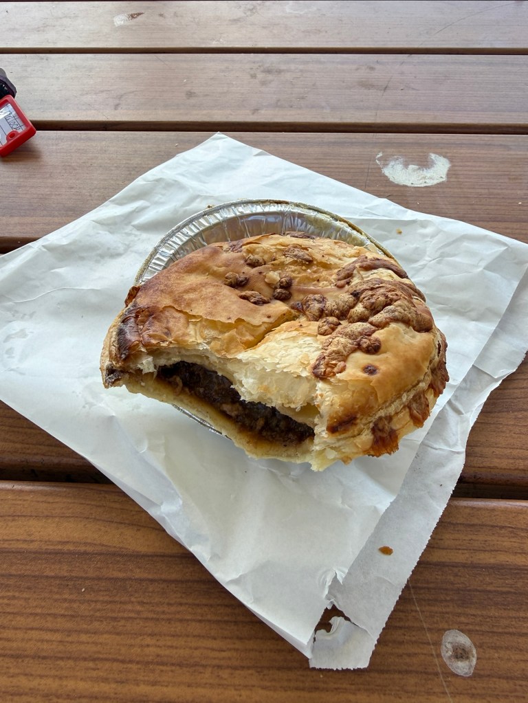
Stopped off in Casino for a late snack lunch of pies at Country Crumbs Bakery on the southern side of town, Now these were pretty good pies, perhaps a bit mushy and could have been hotter. But a pies a pie! Maybe we will try a few more pies on this trip and give readers a few tips as to the best pie!
A pleasant drive through to Grafton and on to Mulligans camp ground, arrived at about 5pm with dusk setting in. A long day 448 km. No dramas setting up for the nights ahead here.

