Volcanoes
Our time in Taupo has come to an end and we have headed off again to the Forgotten World. This time though to drive the Forgotten World Highway to Stratford, in the Taranaki region. Home of Mt Taranaki, it used to be called Mt Egmont.
To get there we took the Volcano Loop Highway which loops around the three major volcanic peaks to the south of Lake Taupo. Then on to Taumarunui, the start of the Forgotten World Highway where we spent the night in the Forgotten World Motel, aptly named.
But first, not long after our arrival in Taupo we spent a day down at the volcanoes. This is the furthest north for snow on the North Island.
Here is a photo of a park photo showing the three volcanoes.
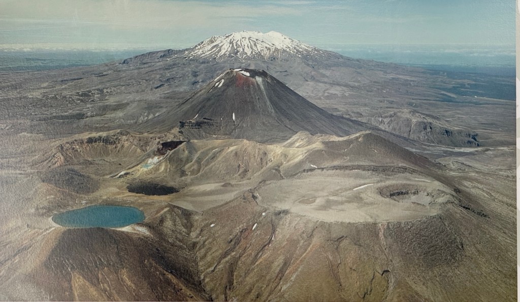
In front is Mt Tongariro (6790ft) and it’s blue lake, in the middle Mt Ngauruhoe (7516ft) and at the back snow capped Mt Ruapehu (9177ft). Ruapehu is actually composed of three separate peaks each over 9000ft with an active crater lake between them. The mountain also has several crater glaciers and some ice fields, one of which is up to 430ft thick.
All are considered to be active to varying degrees, particularly Ruapehu. Ngauruhoe is actually part of the Tongariro complex, being the newest cone.
Although promising at the start the weather wasn’t great, with lots of cloud and occasional blue patches. The volcanoes looked sombre.
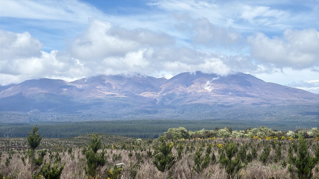
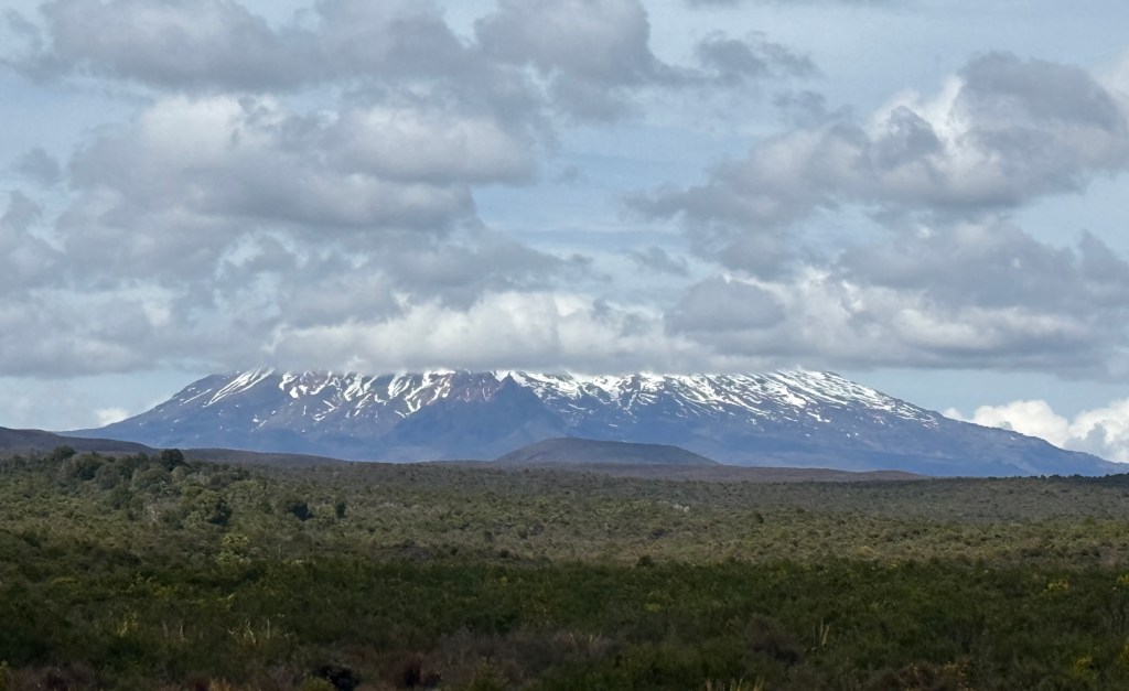
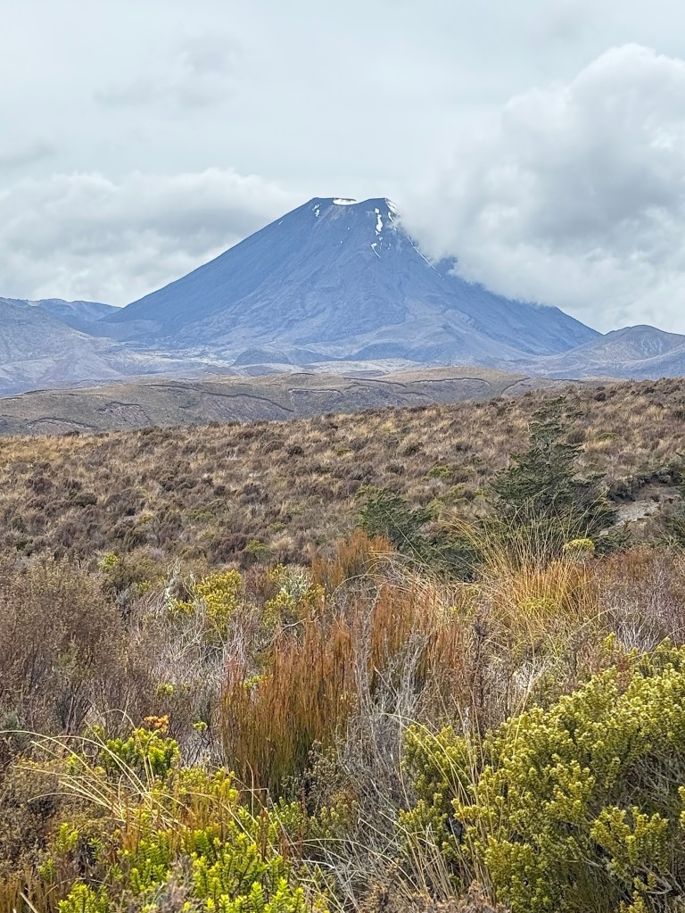
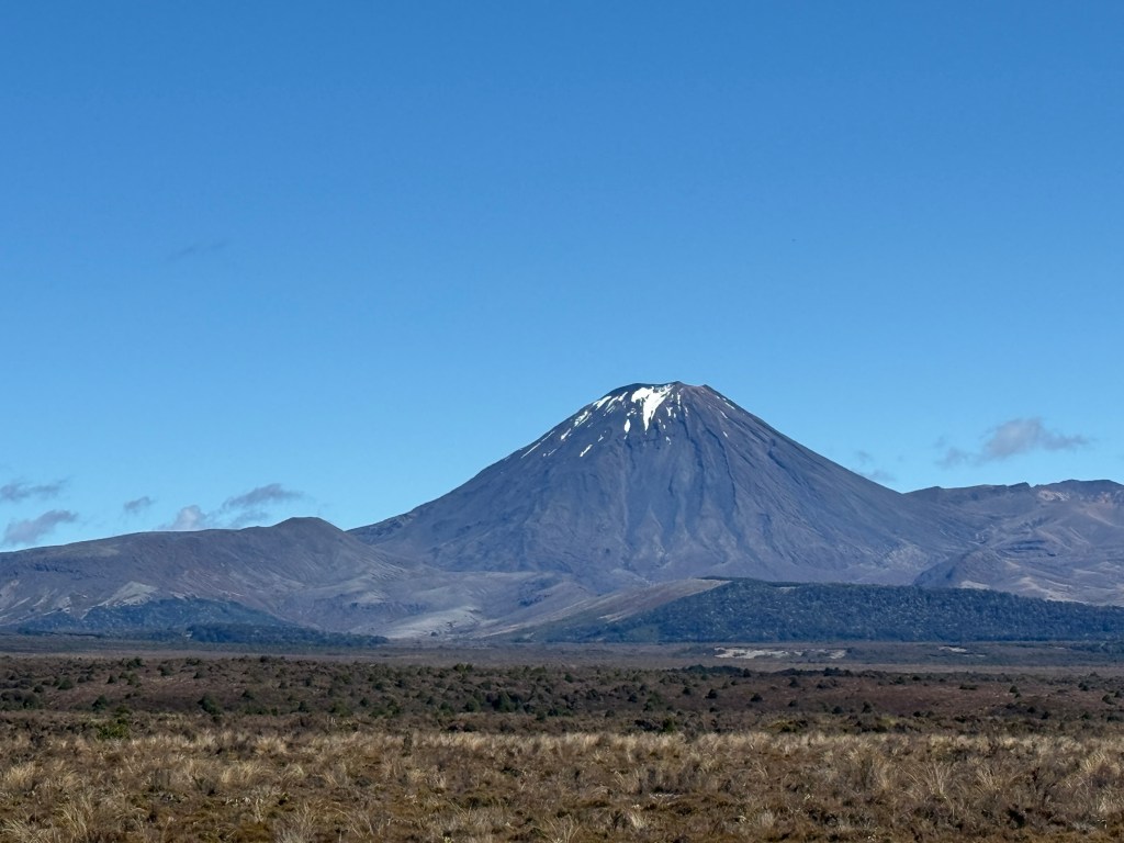
Maybe, you recognise Mt Ngauruhoe?
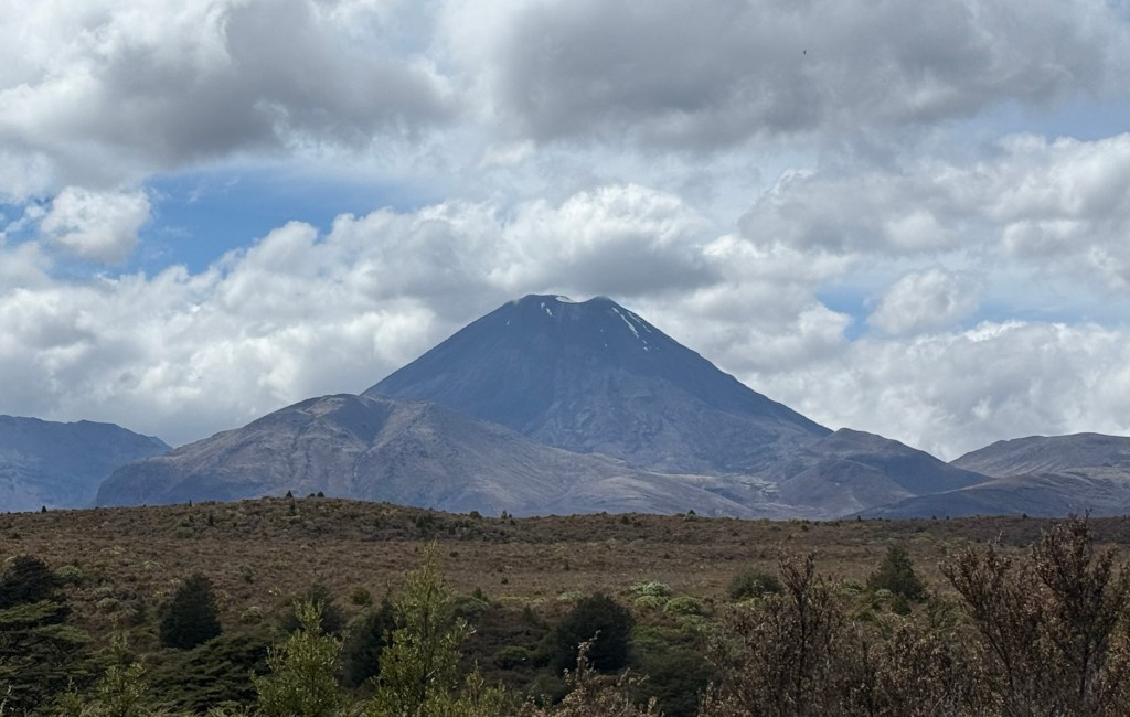
It is Mt Doom of Lord of the Rings fame.
Mt Ruapehu is also home to three skiing areas. We drove up to the one at Whakapapa, it is the most developed and sits in a collapsed wall of the volcano.
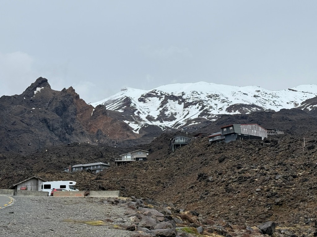
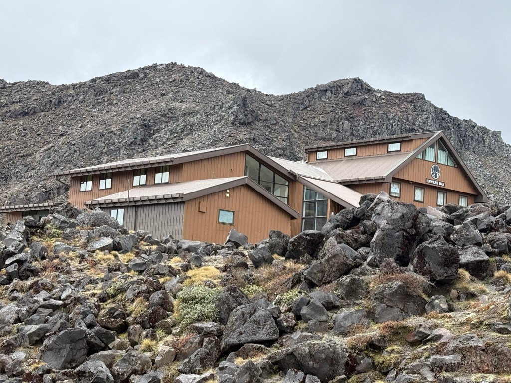
The lodges and infrastructure all seem to sit on rocky ridges above the path that eruptive material might flow down the mountain. There is a gondola there that takes you higher up the mountain for the ski runs. It operates through the summer months for tourists and walkers.
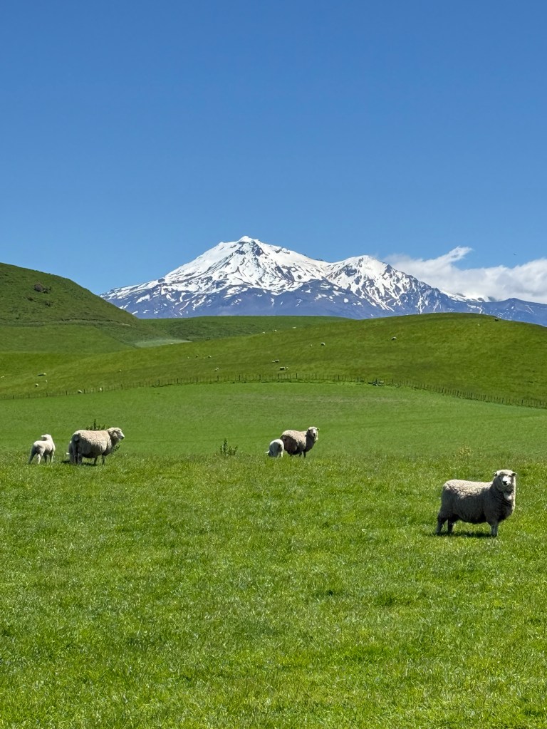
Our second visit was on the way to the Forgotten World. Different weather altogether this time. Here are a few pics with blue skies, green grass and sheep.
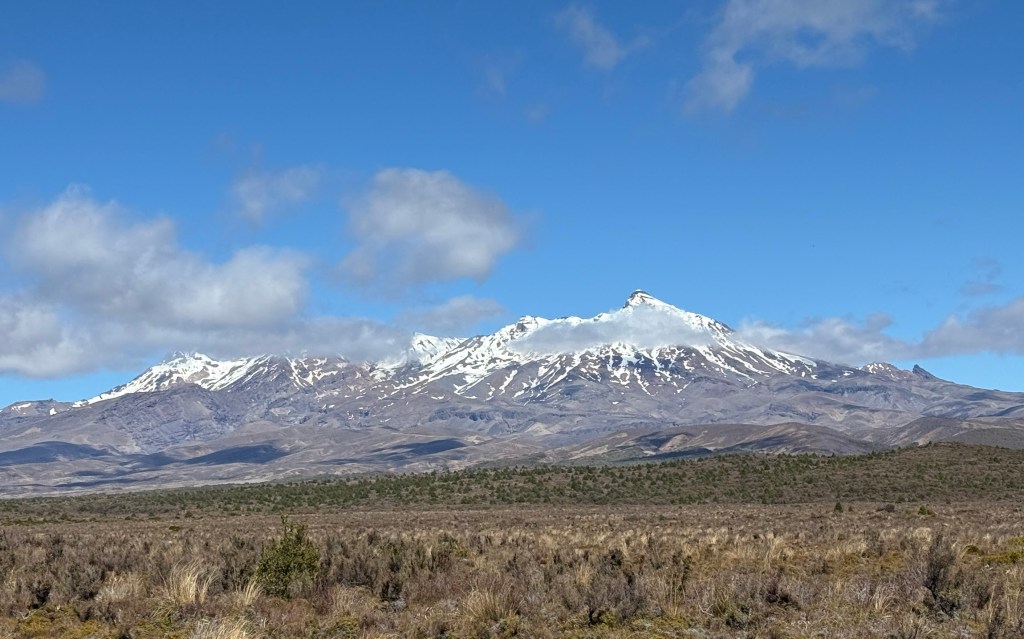
And further along at the southern end of the loop highway, looking back north, a different perspective of Mt Ruapehu.
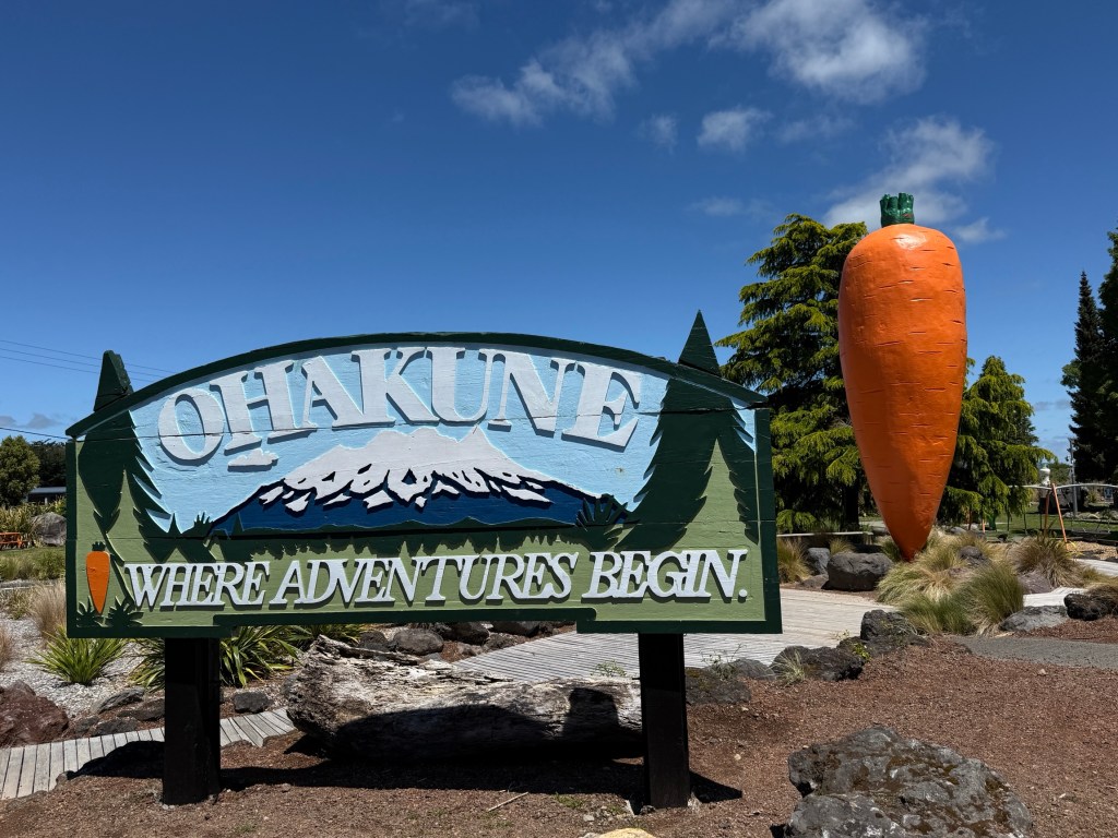
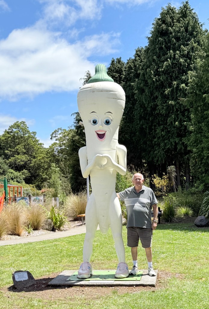
At this point we are near the town of Ohakune, carrot capital of NZ. Apparently, 40% of the nation’s carrots are produced here. As well as other root vegetables and peas.
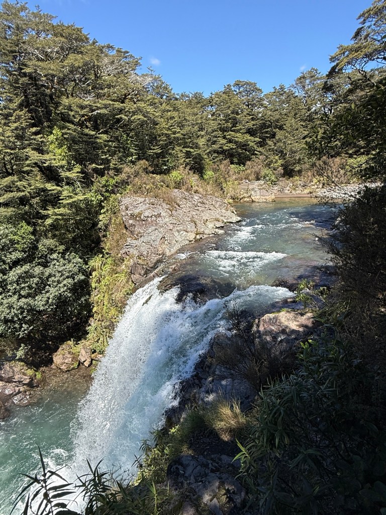
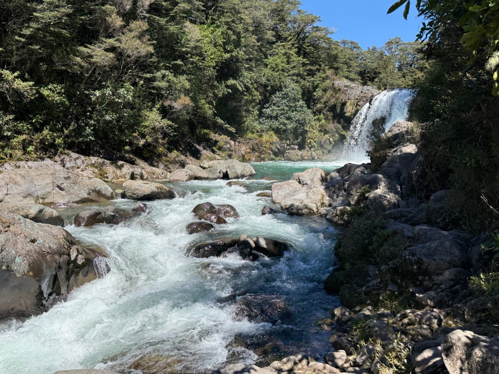
The road now heads north back past the other side of the volcanoes where we had been earlier on that gloomy day. Allthego took the opportunity of redoing a short walk we had both done to Gollum’s Pool. The spot where he found the Ring; of Lord of the Rings fame. A nice waterfall with a big pool and the stream flowing away. Great spot!
It was then back on the road to make the Forgotten World Motel for dinner!

Posted on November 19, 2026, in North Island NZ 2026. Bookmark the permalink. Leave a comment.


Leave a comment
Comments 0