A few more stones
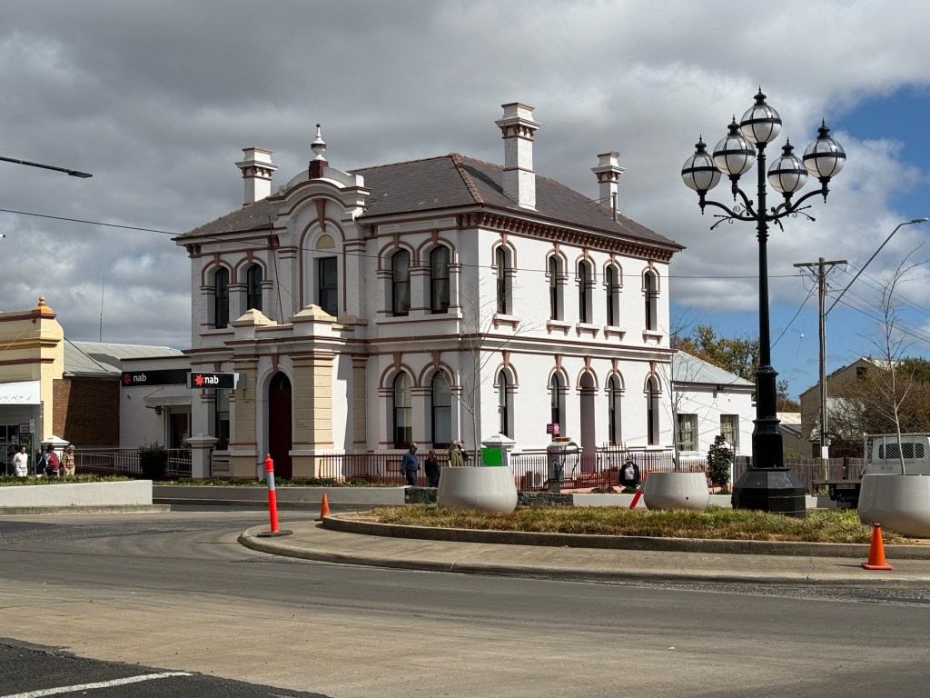
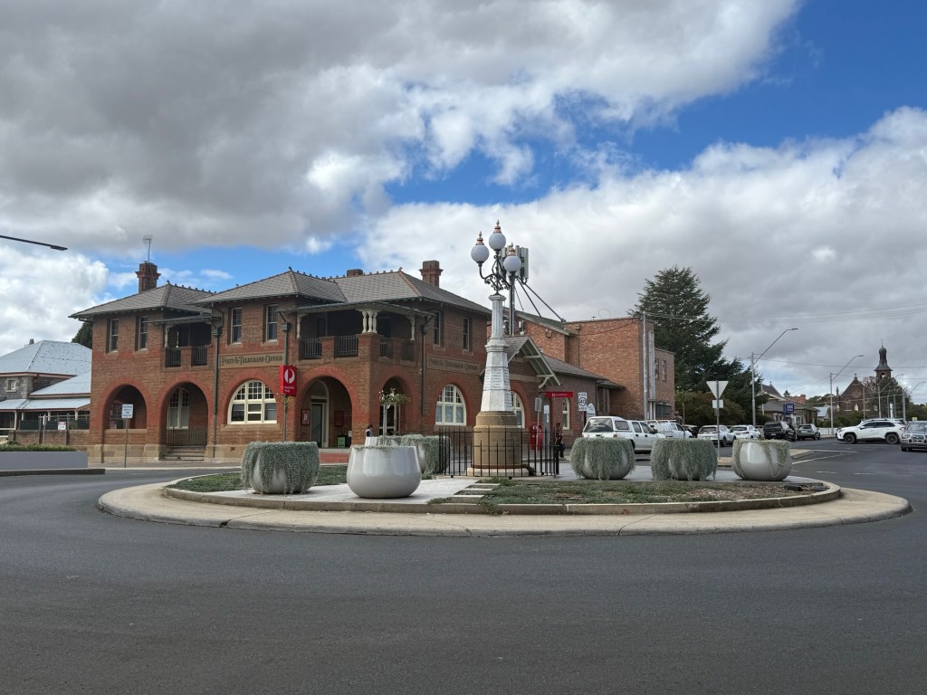
Glen Innes has a number of fine old buildings along its main street. The Town Hall the standout and very central to the Festival’s opening ceremony and parade. The old banks have been done up and serve other commercial enterprises. The NAB though still operates from its restored 1890 building.
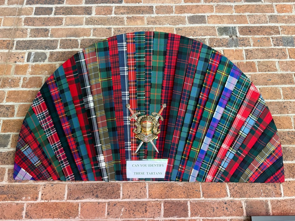
The weather has continued to be great here in Glen Innes. So we decided to head off on an exploration of some of the surrounding high country. The early settlers around here definitely had a Scottish bent.
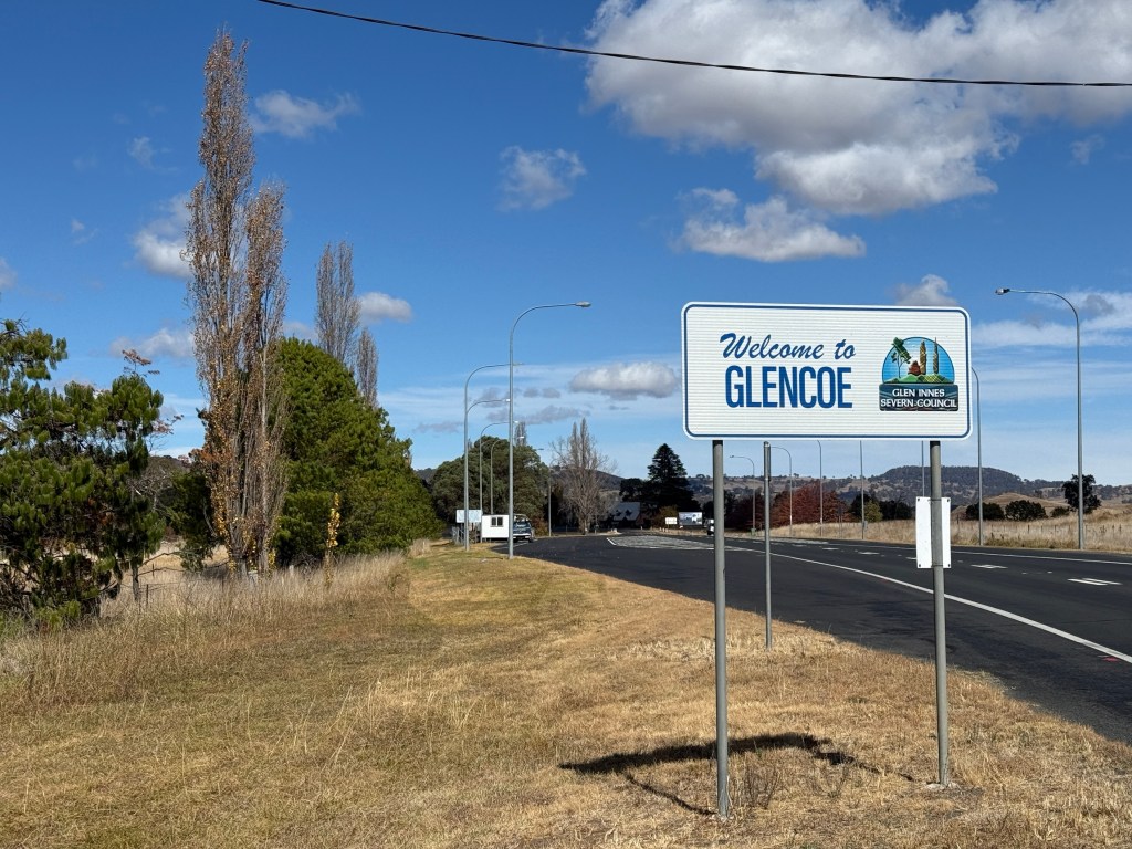
On the outskirts of GI are places like Glencoe and then up in the mountains is Ben Lomond.
A name you see around GI is ‘beardies’. The little river that runs through the town is called Beardy Waters, ‘Beardy Waters, dam and Woodlands’ is a pleasant park beside the stream. The local museum is called ‘Land of the Beardies History House’.
We paid a short visit to the museum which is housed in the old hospital building. Allthego finds these regional town museums a bit frustrating, they tend to be packed full of stuff from yesteryear, with little to guide one through it all.
At least this one has it thematically organised in the hospital rooms, so it is easy to pass by the stuff that doesn’t grab you. Maybe it dates you but we are finding a lot more of the stuff in these places recognisable from our near past.
Why all this ‘beardie’ stuff? Well it is simple. Back in 1838 a couple of Scottish stockmen with long flowing beards guided the first settlers into the region and it became known as Beardie Plains, later Beardy Plains. The river flowing through it became Beardy Waters. Many of these first settlers were from Scotland, Ireland and Wales. The cooler up land weather and landscape attracting them and perhaps reminding them of home.
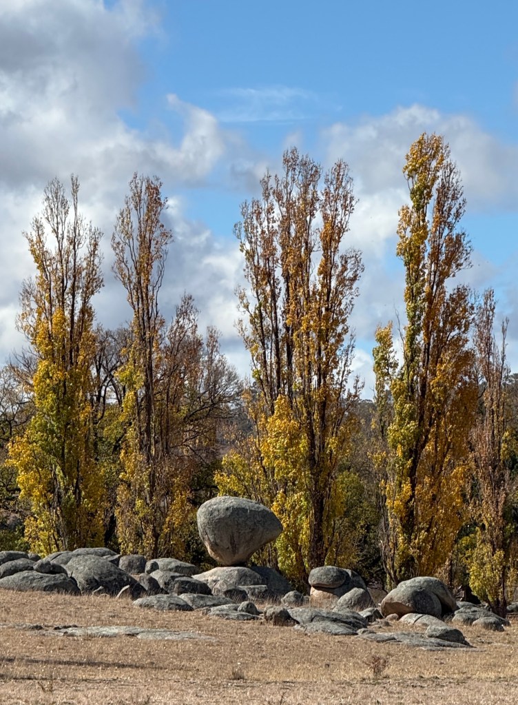
Our journey into the hinterland took us down the New England Hwy through the small village of Glencoe. Along the way Stonehenge Park and the Balancing Rock are compulsory photo stops.
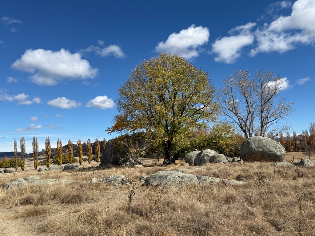
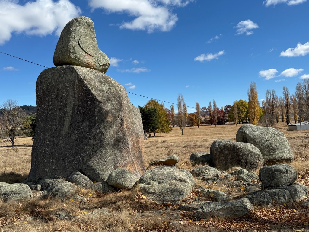
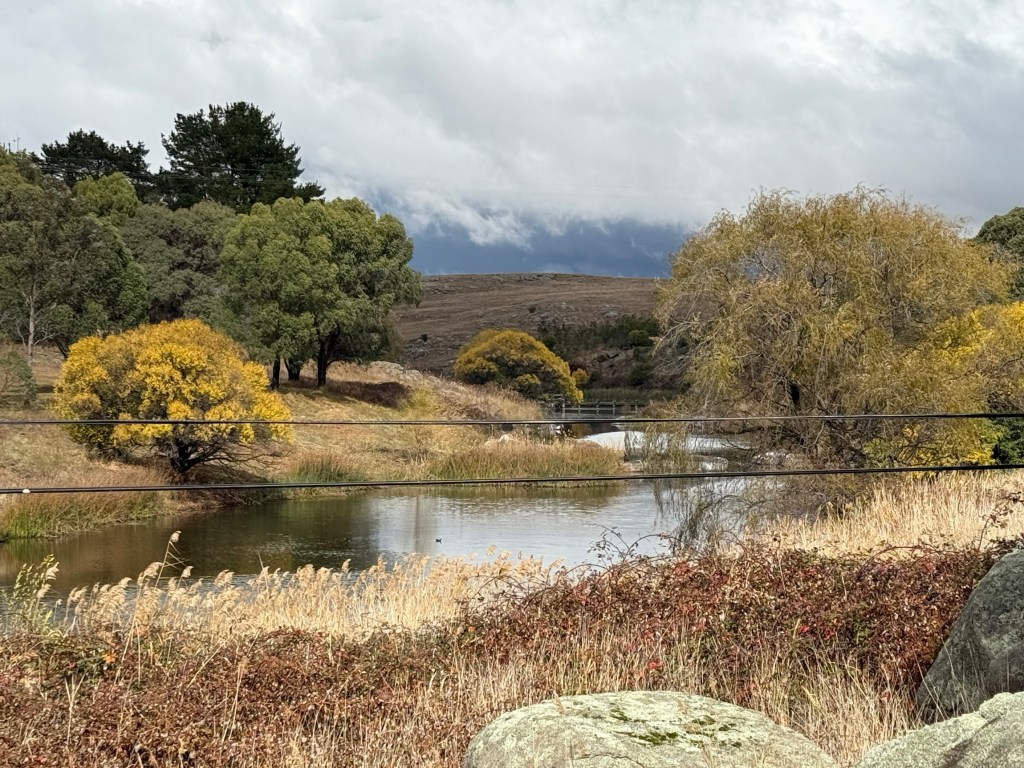
More rocks set in golden Autumn landscapes.
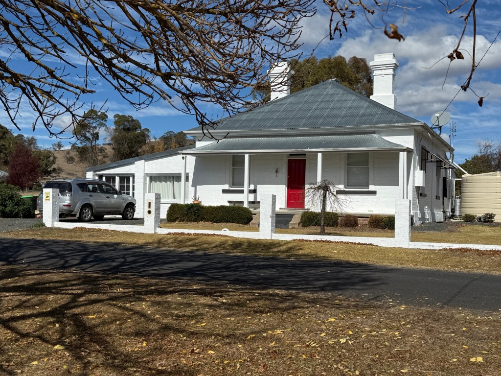
A little further along we took a turnoff to Ben Lomond, a gentle gravel road. Ben Lomond (1370m) is an old railroad town at the top of the Great Dividing Range on the now disused Great Northern Line.
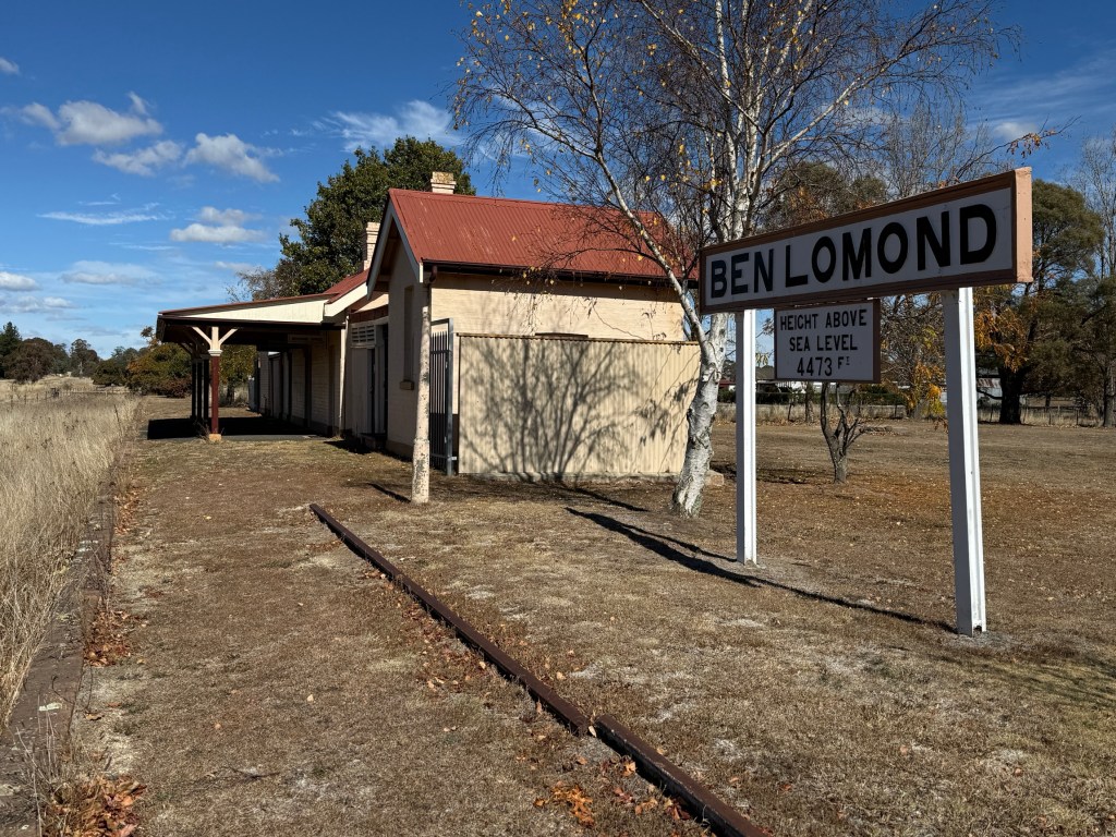
Ben Lomond was the highest point on the line that connected Sydney to Brisbane through Tamworth, Armidale, Glen Innes, Tenterfield and Wallangarra (at the border). It is now closed north of Armidale and slowly falling into ruin.
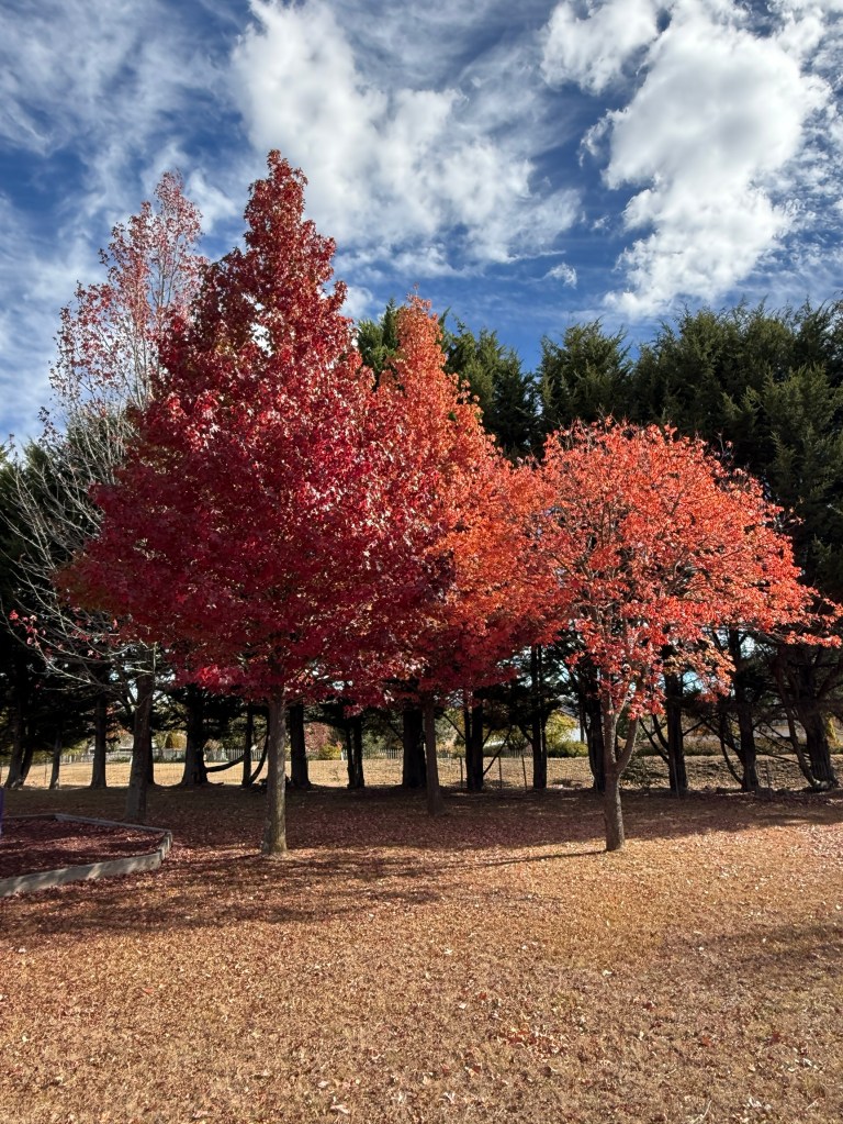
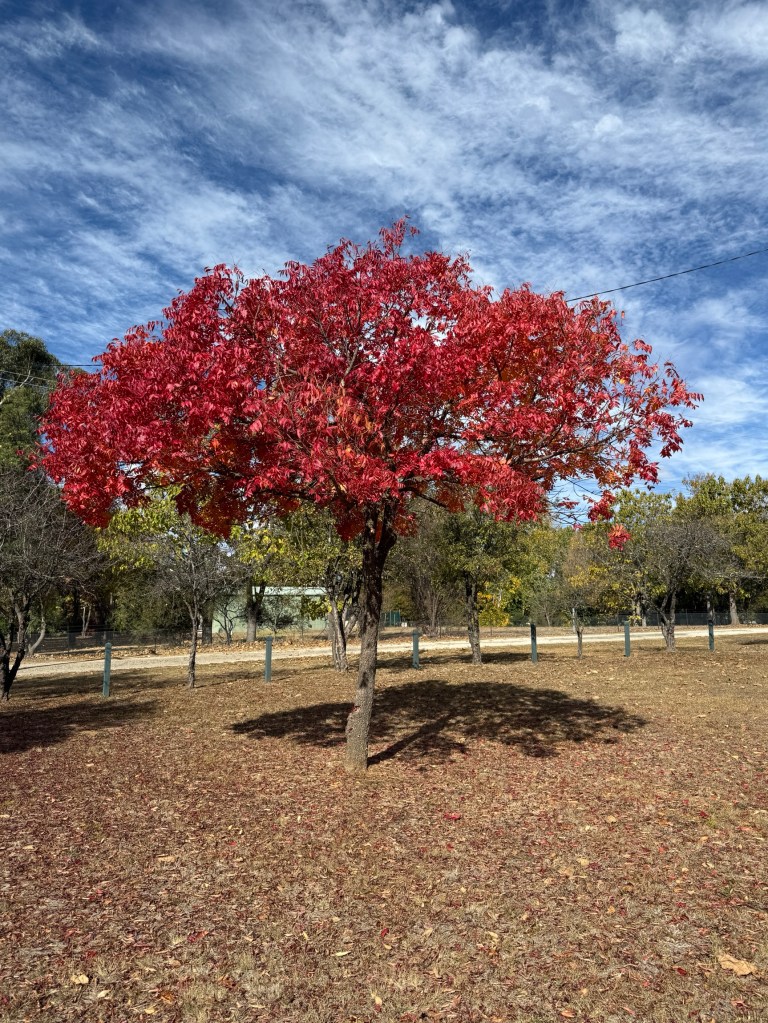
After poking around Ben Lomond for a little while we returned to the highway on a short sealed road and made our way back to Glencoe. Before returning to GI we had a picnic lunch in the local park among the Autumn colours.
We are moving on from Glen Innes in the morning and are heading for Grafton via the Gwydir Highway, through the Gibralter Range NP. Planning to stop at Jackadgery, a bit over half way.
Posted on May 11, 2026, in The Big 50. Bookmark the permalink. Leave a comment.

Leave a comment
Comments 0