Namadgi National Park
The Monaro Hwy continues to parallel the Murrumbidgee River away to the west, north of Bredbo, as we make our way to the Park, about 100km on the bitumen. There is a short cut across country but we missed the turnoff. We did this section a couple of days later without the van, lucky as it was pretty rough.
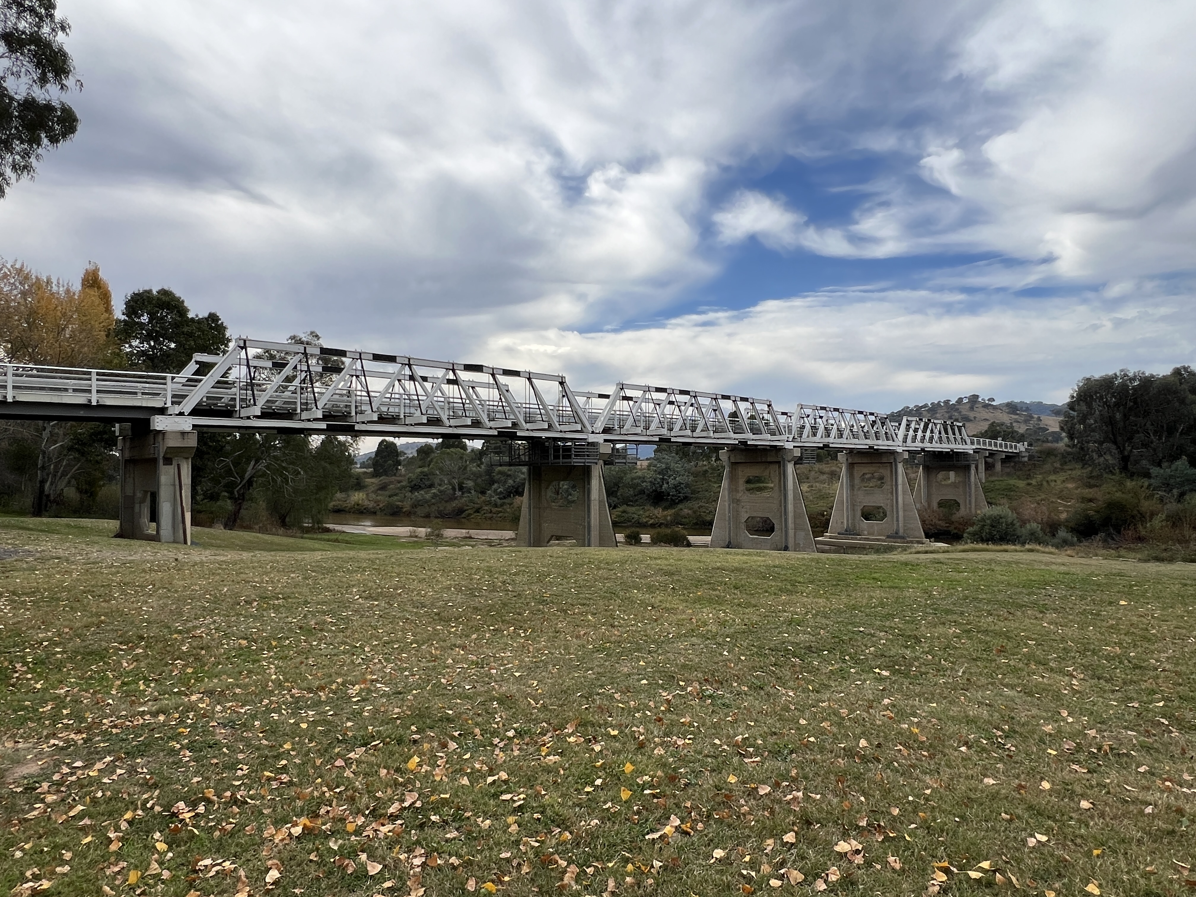
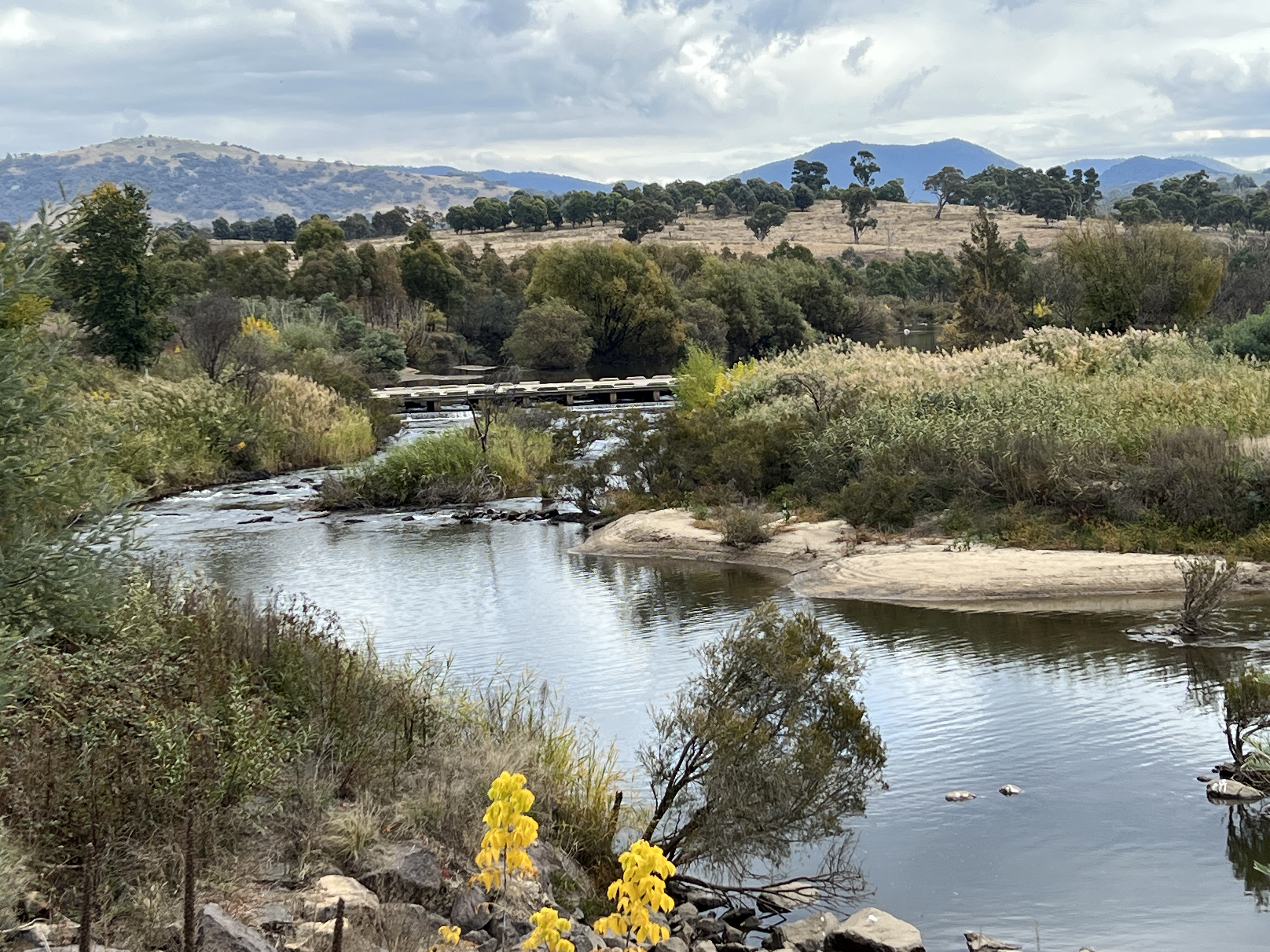
We crossed the Murrumbidgee again at Tharwa on the way to the Park. Impressive bridge here.
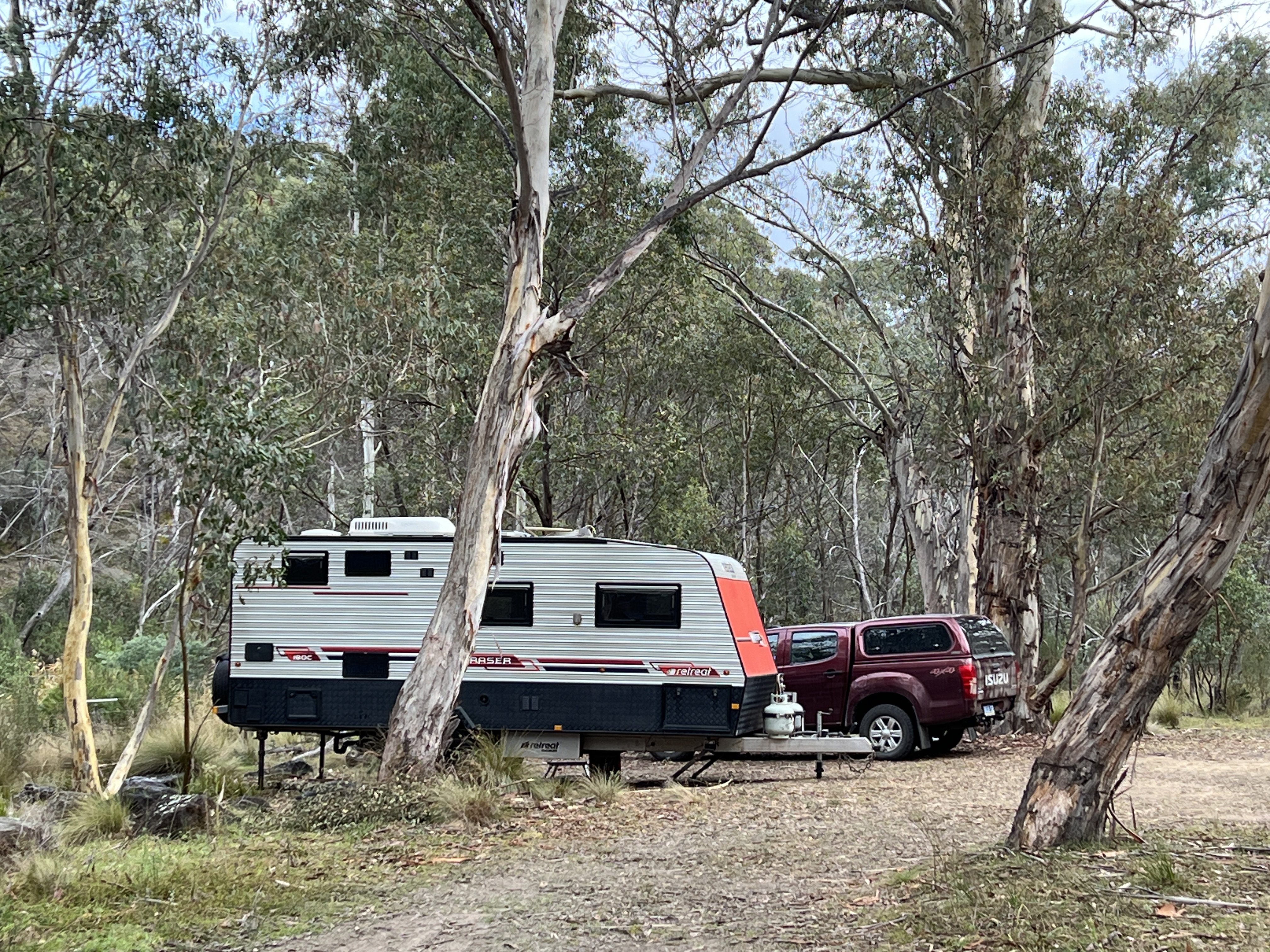
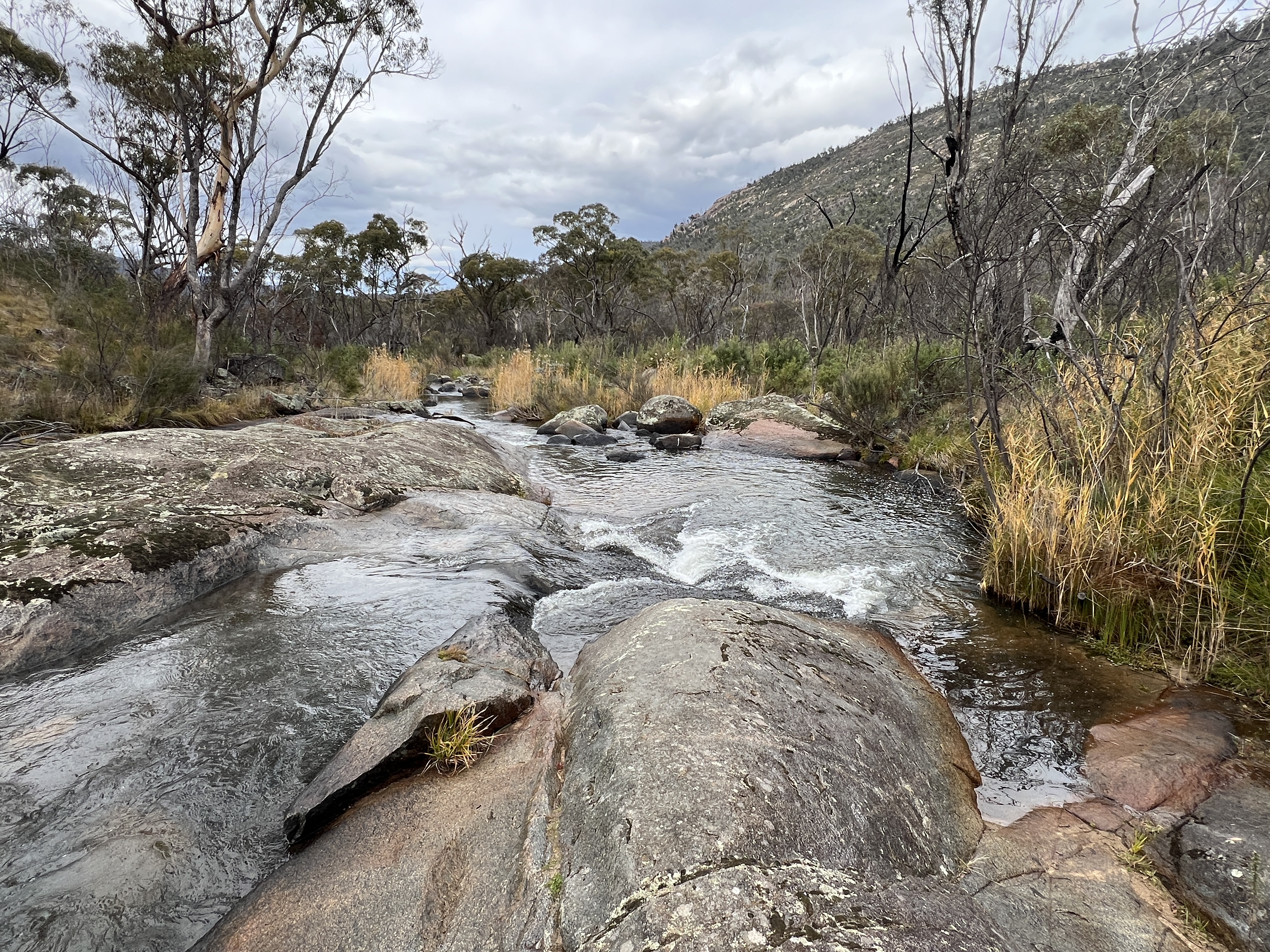
Our site is at the campground in the Orroral Valley, it is a bit remote. It is a well set up camp with some good facilities, recently rebuilt after the fires that ripped through the park a few years back. The Orroral River runs beside the camp.
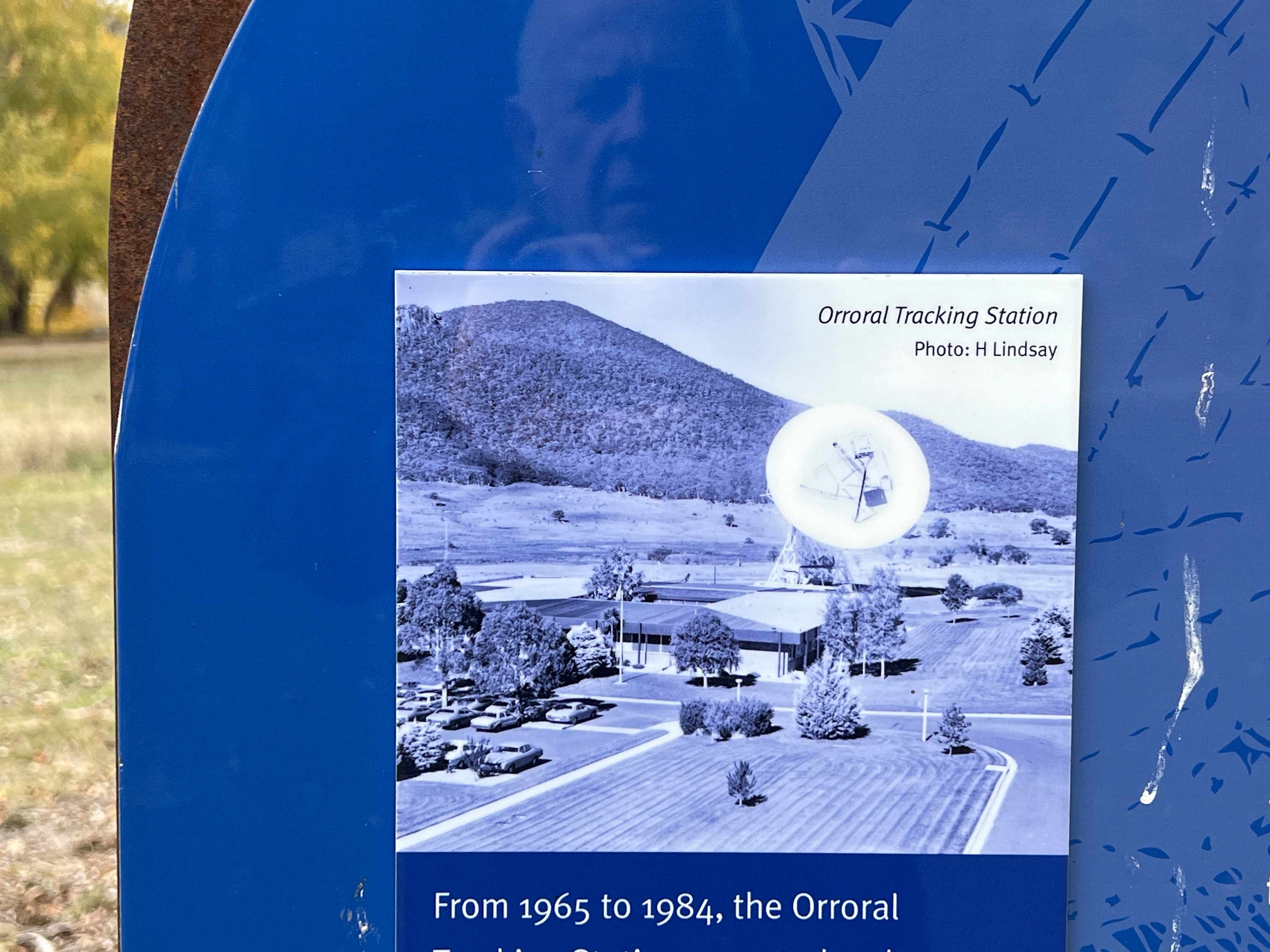
The Orroral Valley is the spot where Australia’s first satellite tracking facility operated from 1965 to 1984. The station performed roles in the early Columbia space shuttle missions and before that the first meeting of Russian and American astronauts. The dish and buildings are now all removed, just a big concrete slab with some info boards remain.
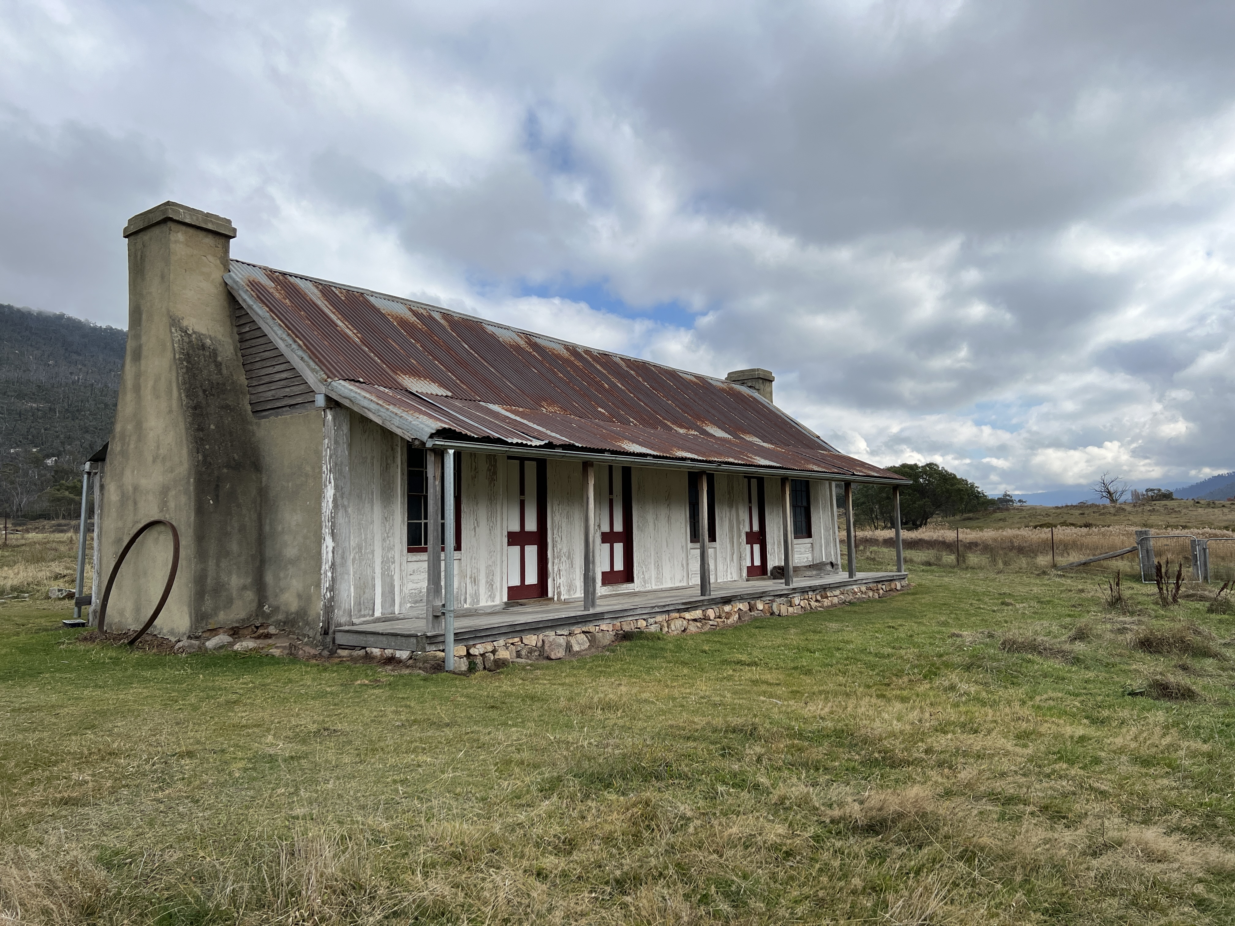
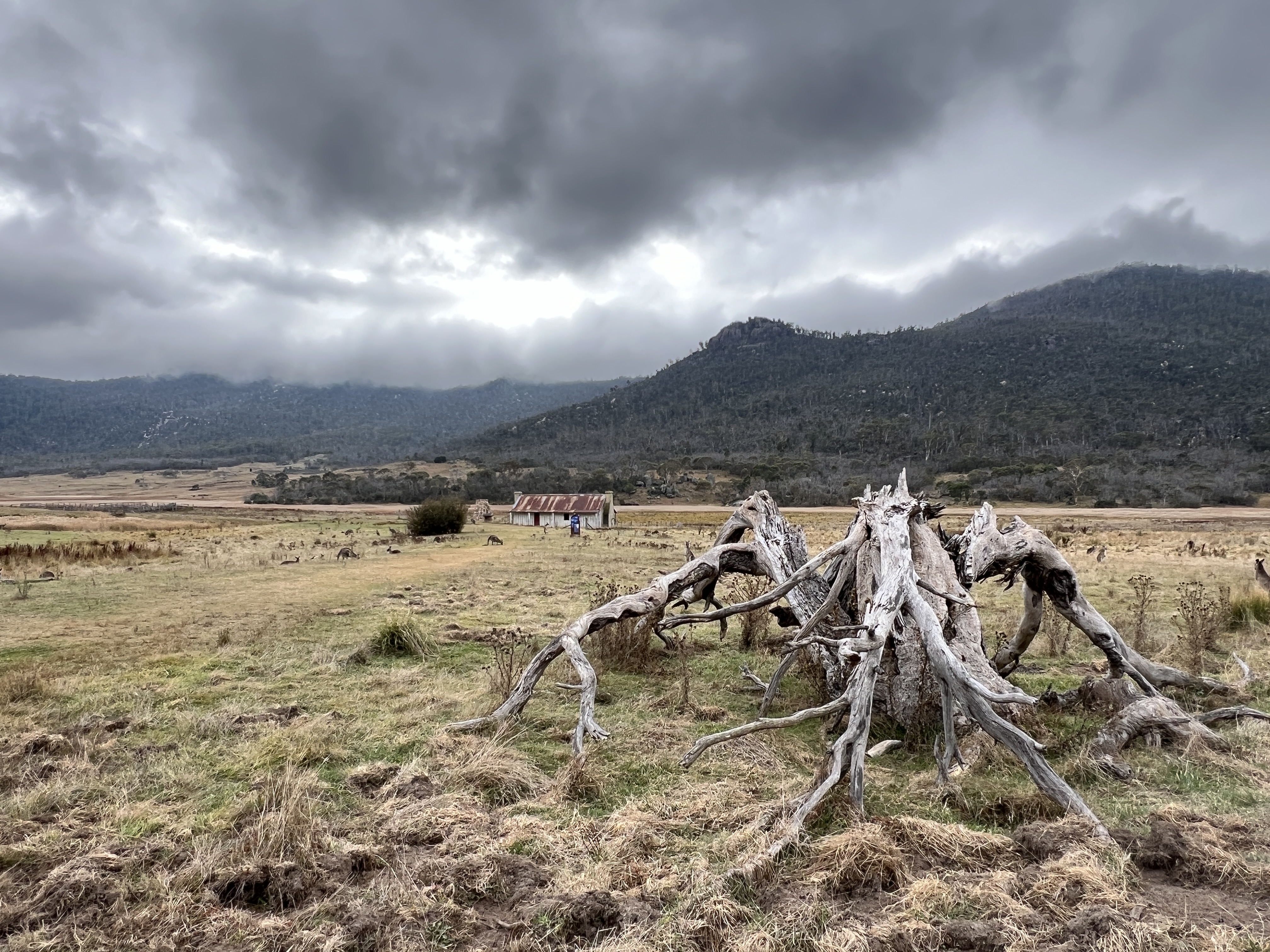
The Orroral Homestead is perched on a high spot looking down the valley. It was built in the late 1860s and passed through a number of owners of the property. It has been preserved with a new roof over the original shingle roof but is otherwise the same as the original. Bare rooms inside. The old woolshed is also nearby. It would have been a lonely spot out here in the middle of winter.
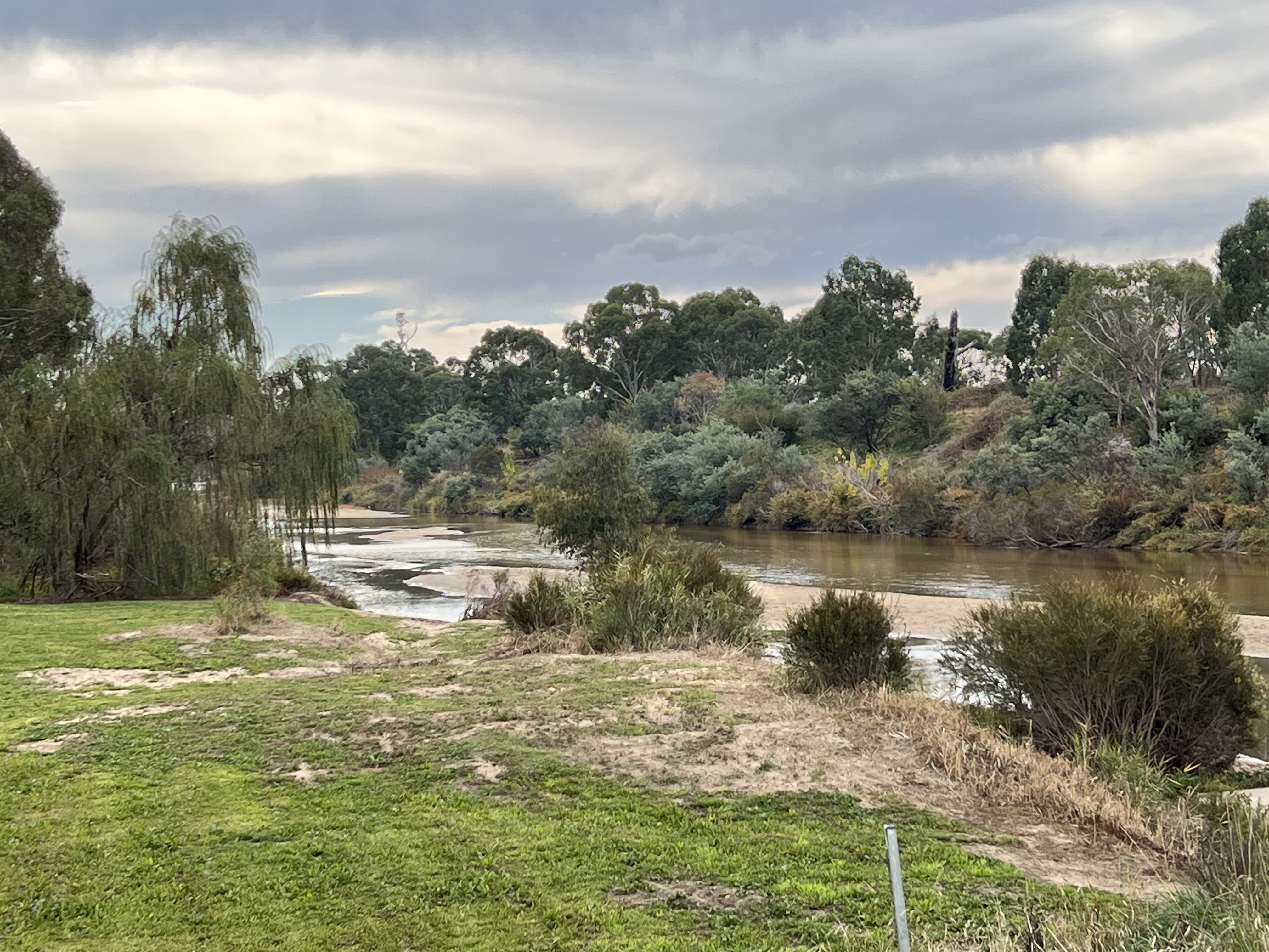
We have used Namadgi as our base to explore the lower section of the Murrumbidgee that runs through the ACT, to the south and west of Canberra. The entire length of the river through the ACT is protected in what is known as the Murrumbidgee Corridor.
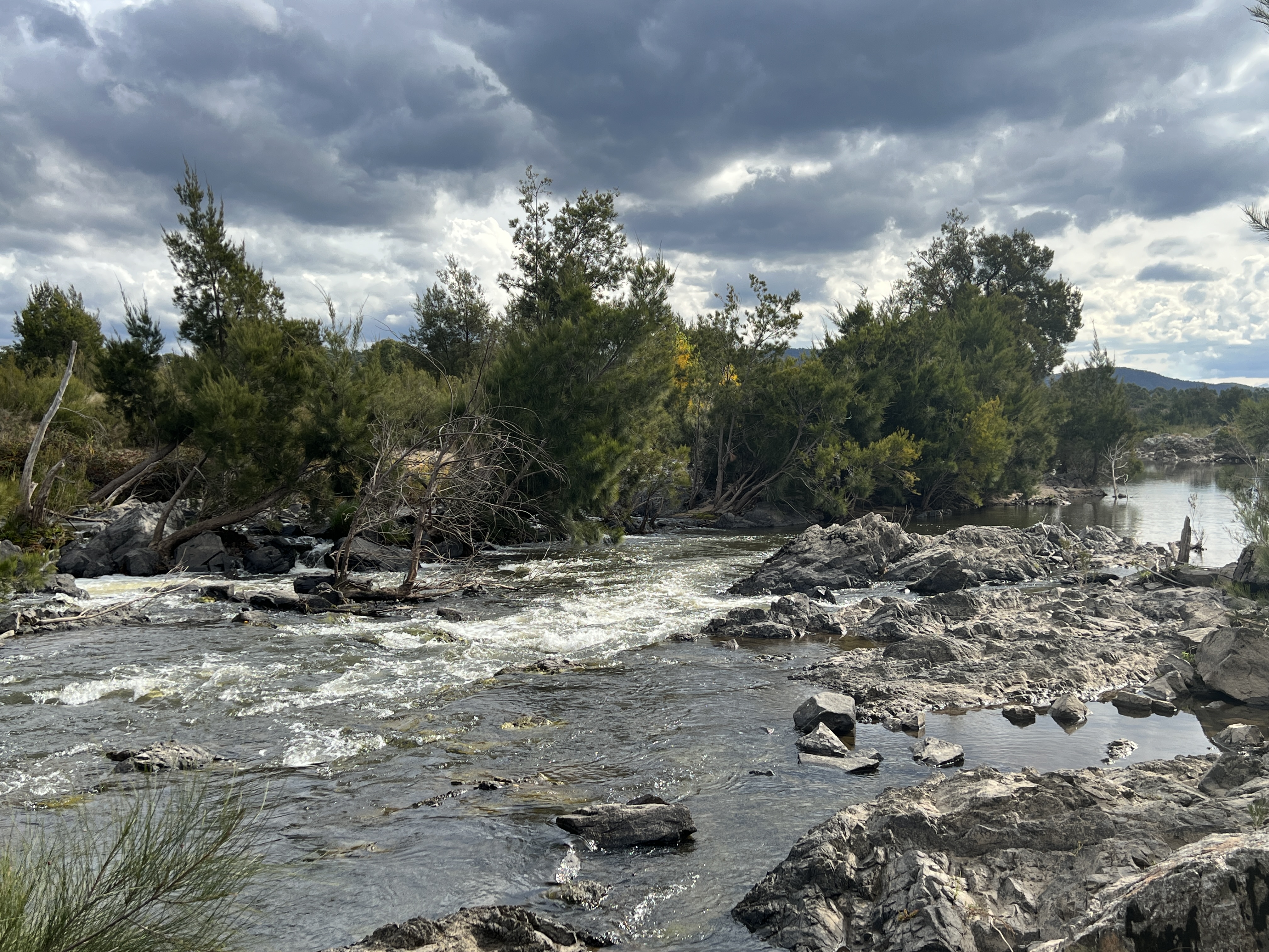
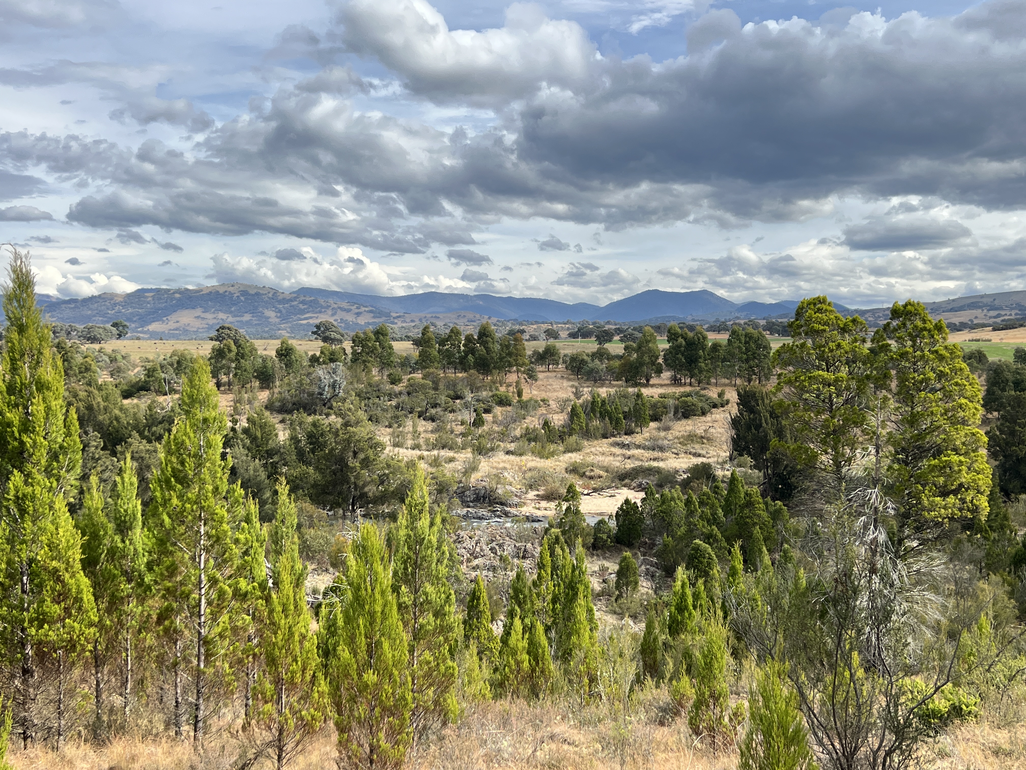
A walk goes the entire length, Allthego though did a small section of two and half km between Point Hut Crossing and Pine Island. Quite picturesque with views across the river flats and farm land to the mountains beyond.
On our way back to the campground we took the shortcut referred to at the start of this post. A rough road with a couple of steep sections descended down to the Murrumbidgee where the causeway had shallow water running across it, no worries here an easy crossing.
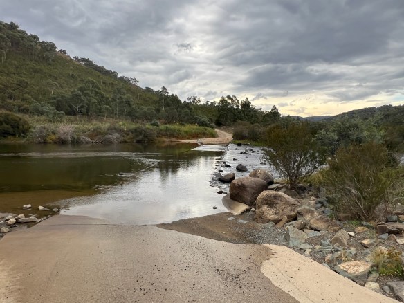
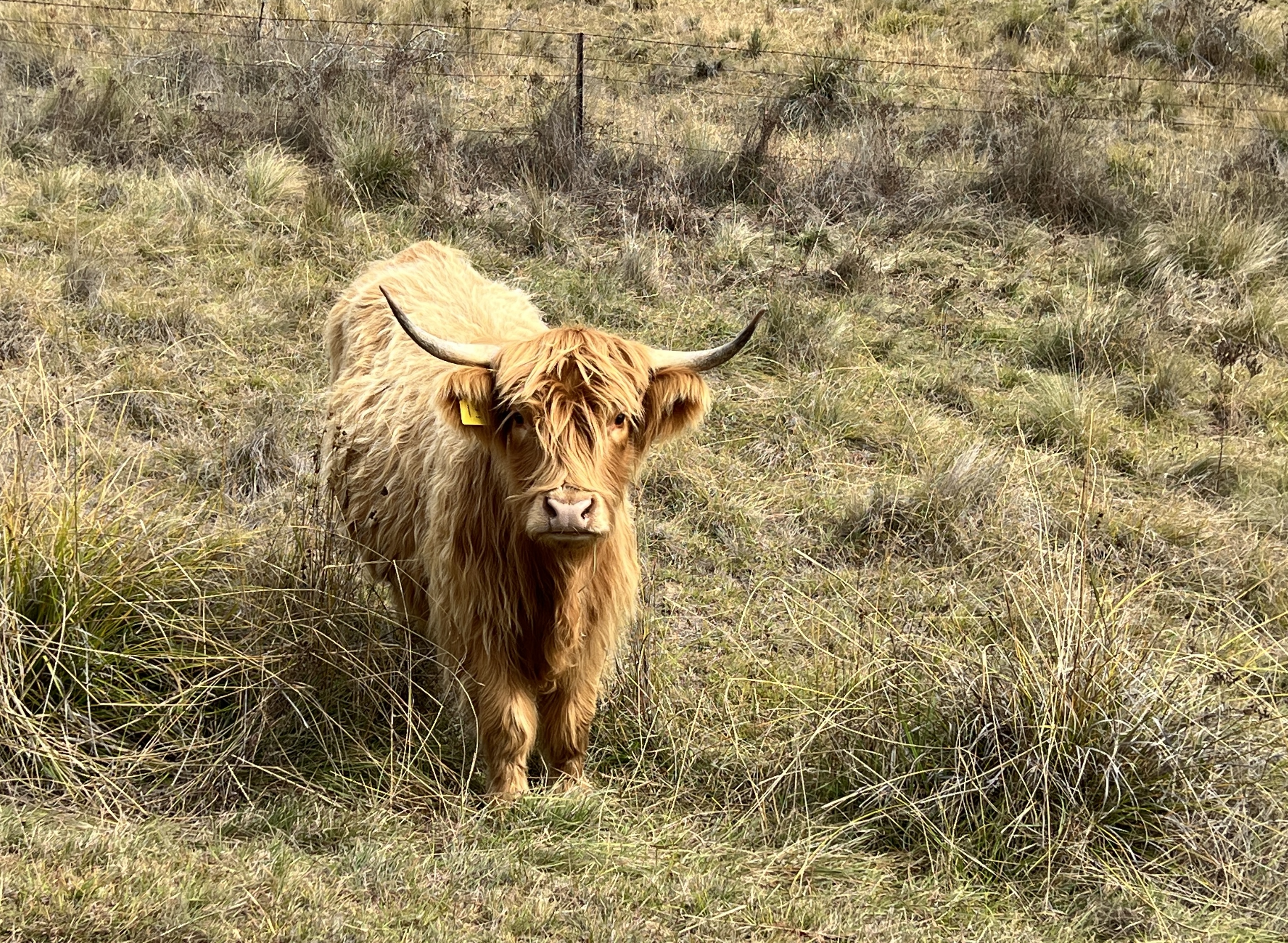
The road on the other side was much better and we were quickly back at the campground, passing our friend the Highland coo again.
Posted on May 5, 2024, in Murrumbidgee Run 2024. Bookmark the permalink. 1 Comment.

You have some breathtaking photos