The long and winding road.
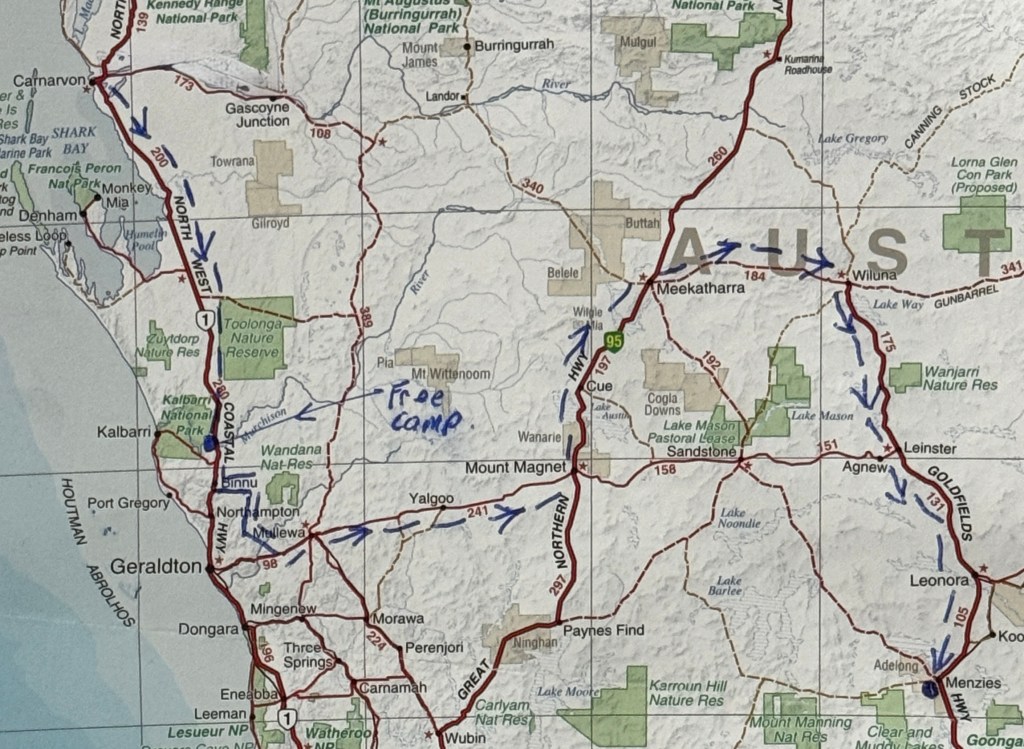
We left Carnarvon and moved further south towards Geraldton.
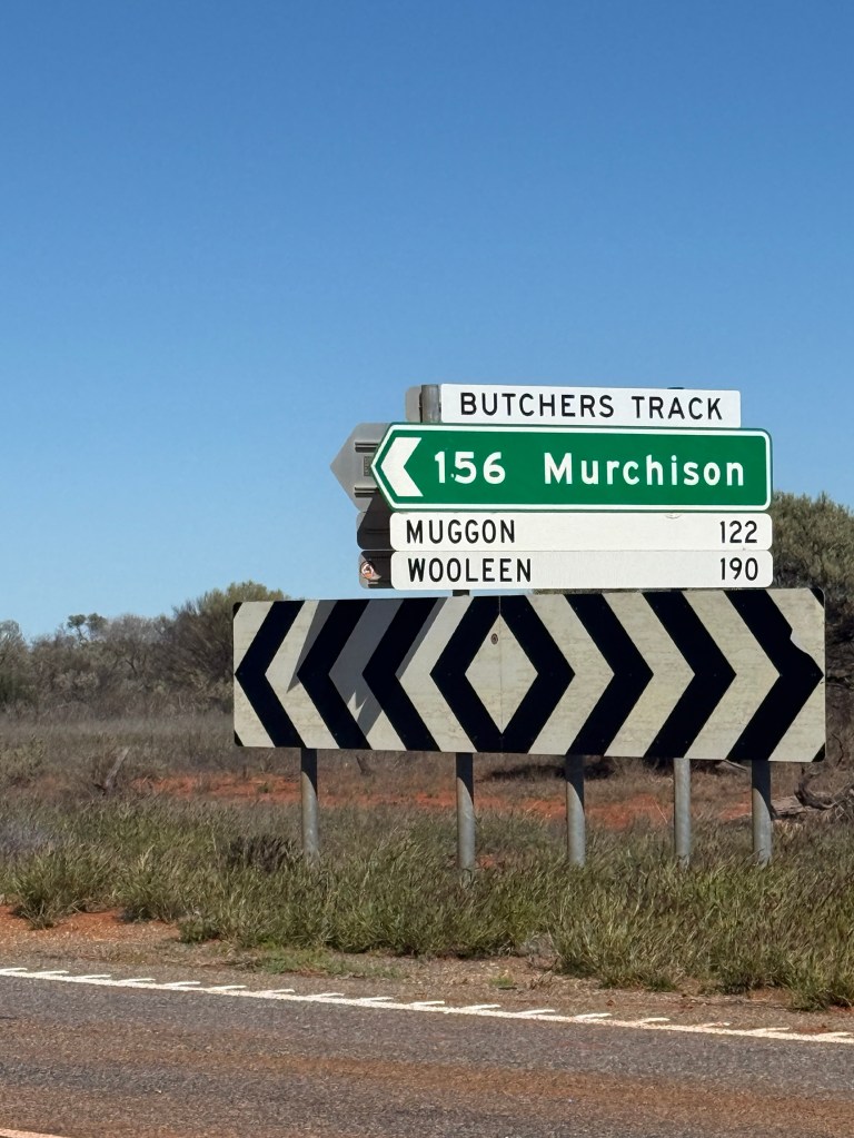
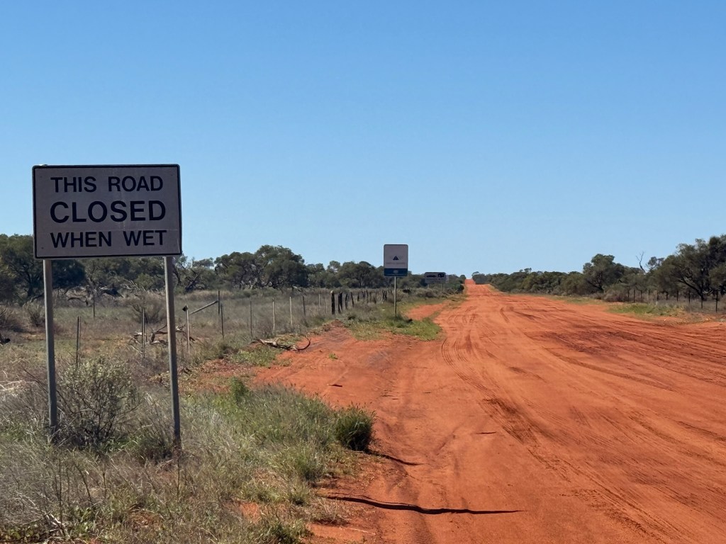
On the way we passed the turnoff along Butchers Track to Murchison. It brought back memories of our last WA trip when we travelled along this 156km of sandy outback road up, over and down sandhills on a well compacted gravel road. Looks a lot slipperier now after recent rain.
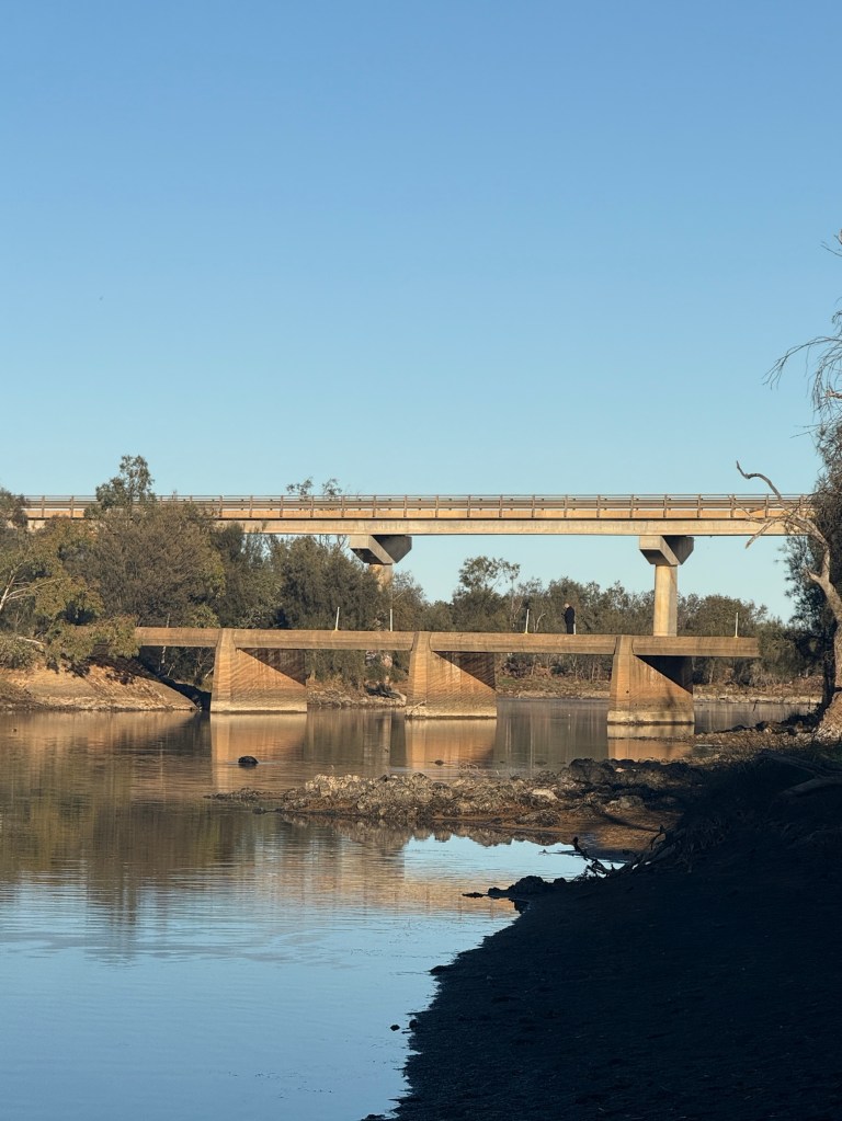
A little further along we set up at a well organised free camp beside the Murchison River in a bit of a hollow. Mistake!
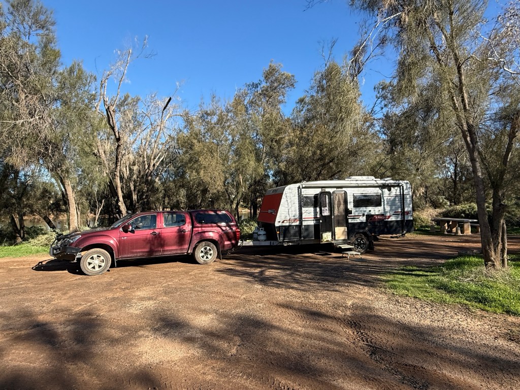
A very cold night, below zero. We woke to an ice covered windscreen and some early morning mist over the river. The mist quickly cleared out as did we! But a good stopping place, might have been warmer away from the river bank, about half way to Mullewa and Yalgoo in the wildflower belt.
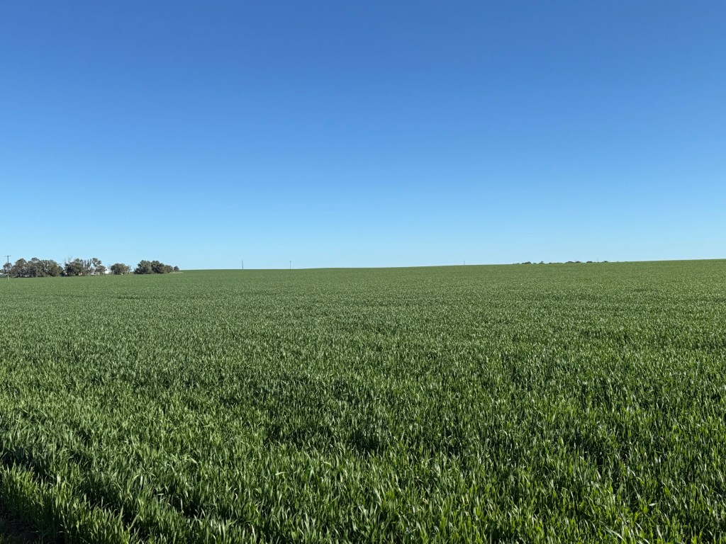
We took a back road to get to these places through the expansive winter wheat and Canola fields. They stretch as far as the eye can see. Look to be good crops coming in the Spring harvest.
This part of our route through Mullewa, Yalgoo and Mt Magnet is a road we have previously travelled during wild flower season, we are a little early for it this time round. There maybe some early bloomers to appreciate.
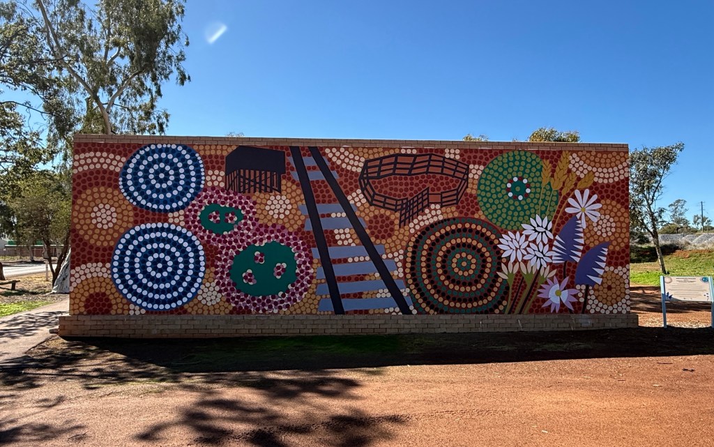
Not a lot seems to have changed in Mullewa since we were here nine years ago. There is a new ‘Reconciliation’ mural coming into the town. It reflects the ancient indigenous past through the period of European settlement to today’s efforts at reconciliation. Completed by members of the local indigenous group.
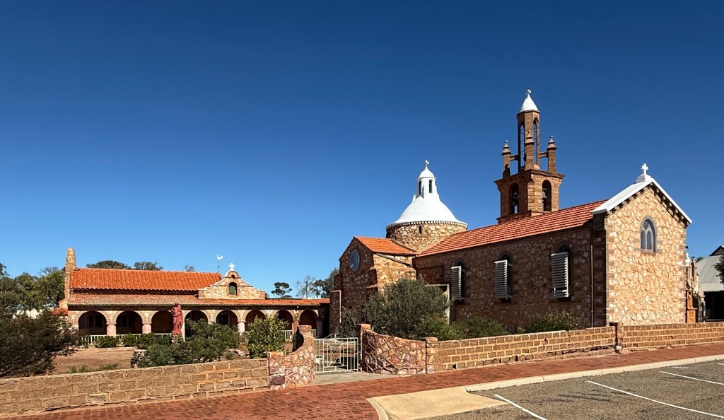
The impressive RC church designed by Monsignor John Hawes still has pride of place in the town. He was responsible for the design and construction between 1915 and 1939 of many of the RC churches in these mid west rural parts of WA.


Further along we stopped for the night at Yalgoo, an old gold mining town. The towns CP is relatively new or has had a big refurbishment. Very comfortable place for the night.
The next day we continued east to Mt Magnet before turning north along the Great Northern Hwy for Cue and later Meekatharra.
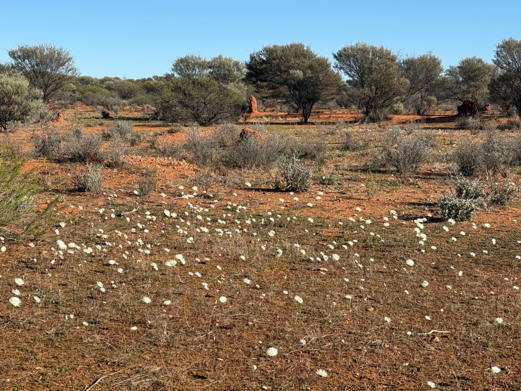
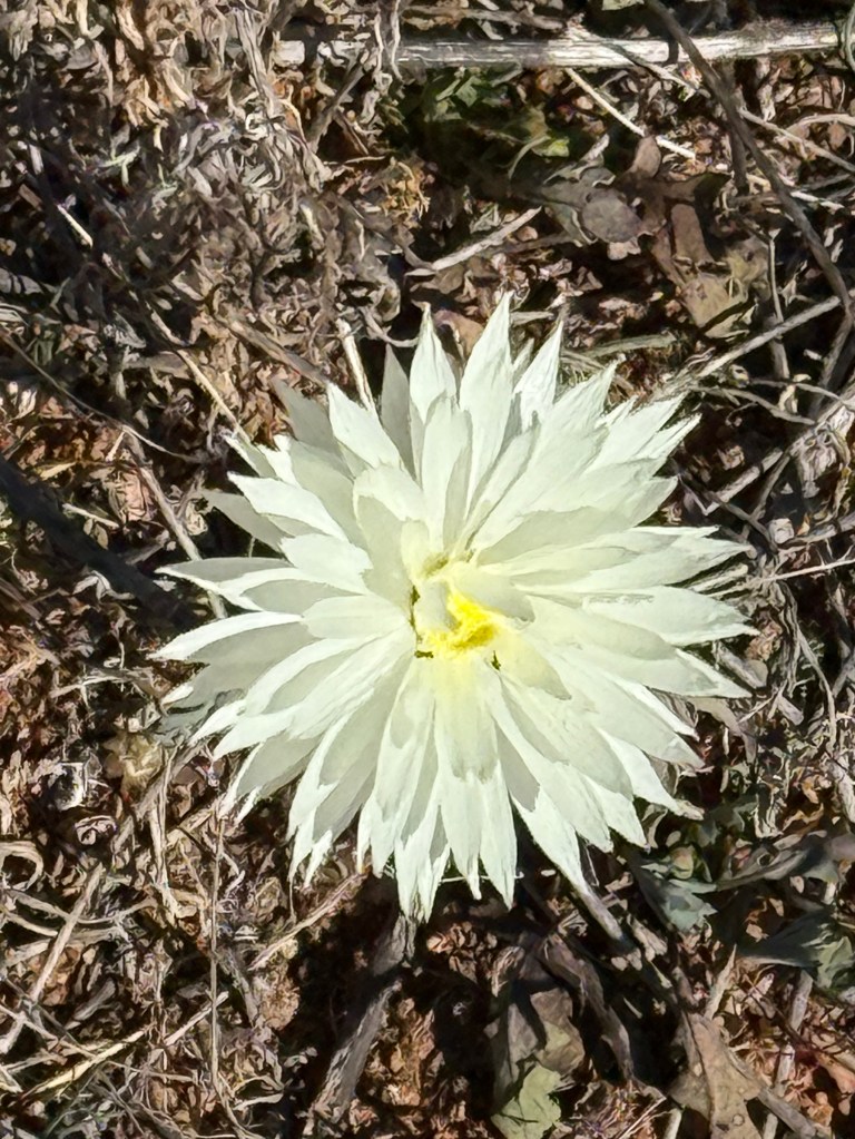
Before Mt Magnet we had our first wildflower sighting, some small patches of these ‘white balls’ beside the road. We haven’t seen any more since!
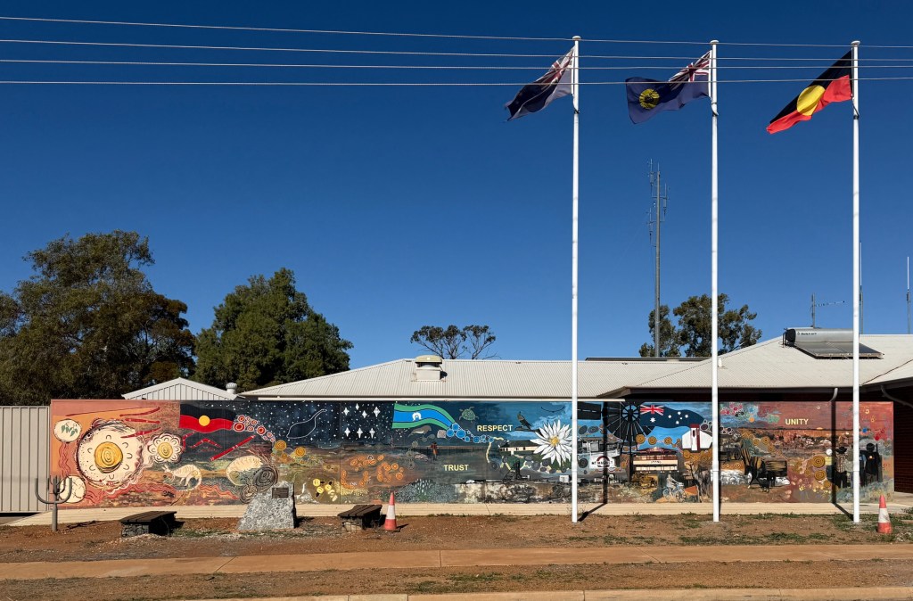
Mt Magnet also has one of those Reconciliation Murals, same sort of idea as in Mullewa, but beside the police station! Maybe too much detail in it for a blog pic. Looks good though!
The town of Cue is remembered as the ‘Queen of the Murchison‘ and in its hey day in the 19th century was a populous place with some magnificent sandstone buildings.
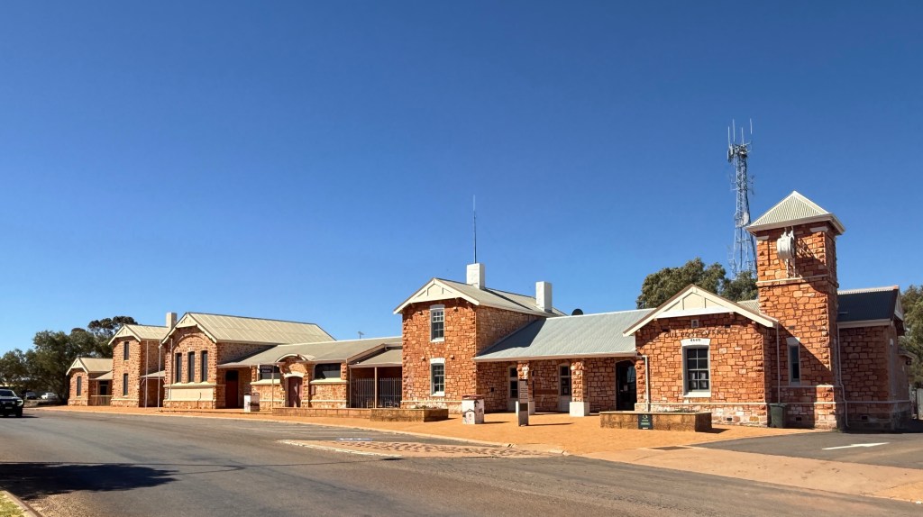
Still impressive today are the old government buildings which house the police station and some council activities.
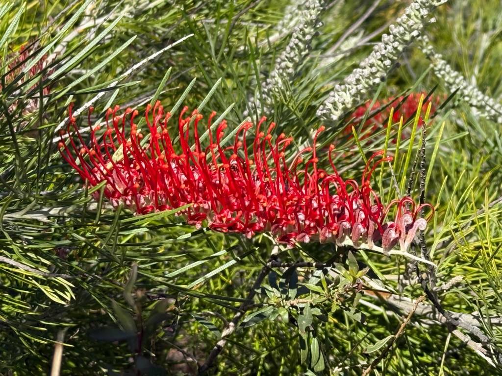
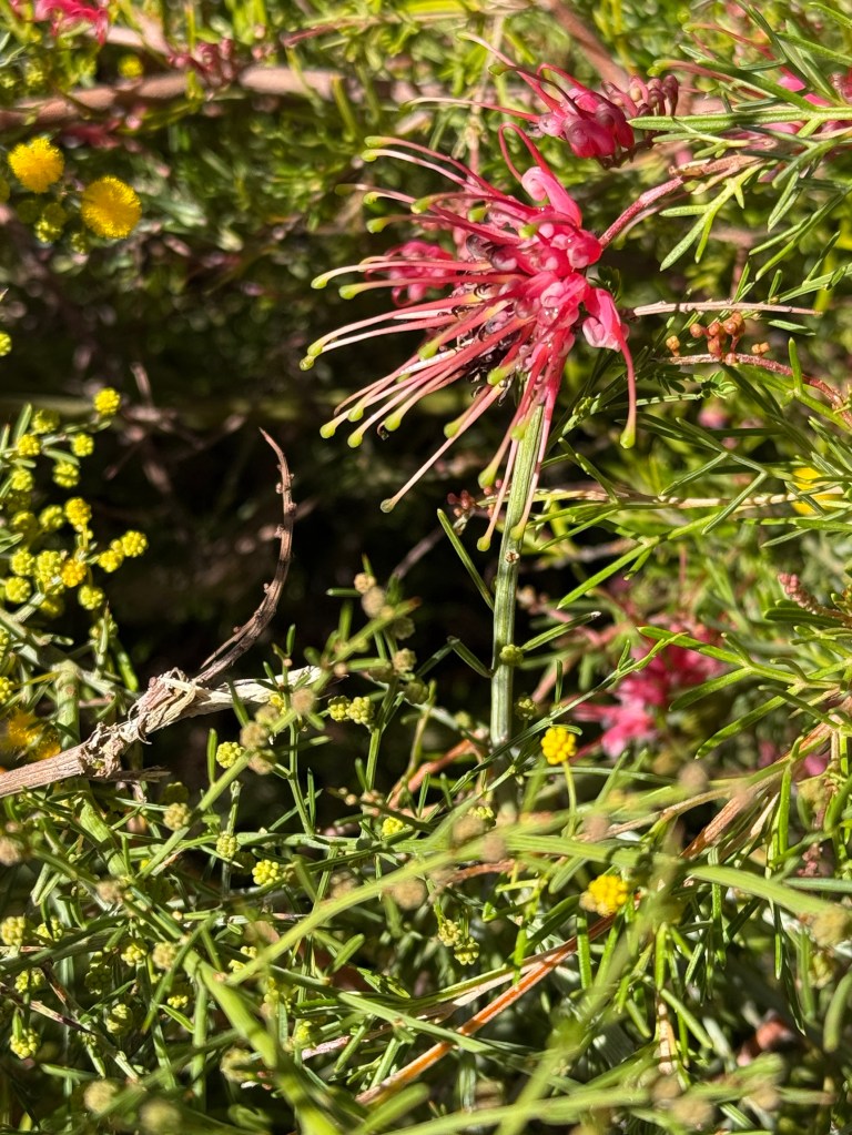
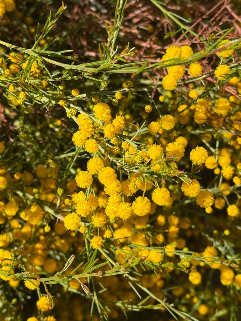
Some more flowers were found in the Cue park, this time some grevillea species and a yellow flower a bit like wattle (maybe it is!).
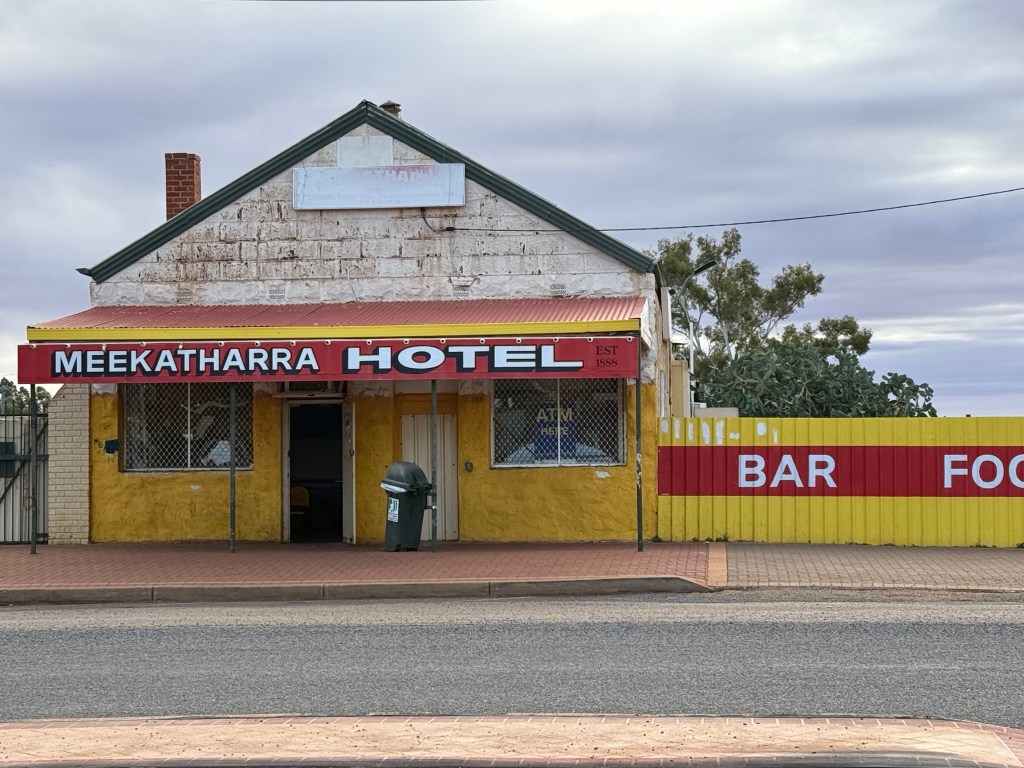
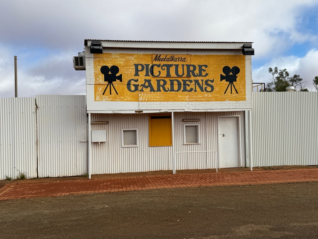
We have previously not been north of Cue so Meekatharra was to be a new experience. It is at the top of the north eastern gold fields. We spent one night here and were a little disappointed in the town. It was busy with present day enterprise being a business centre for the surrounding new mining activities.
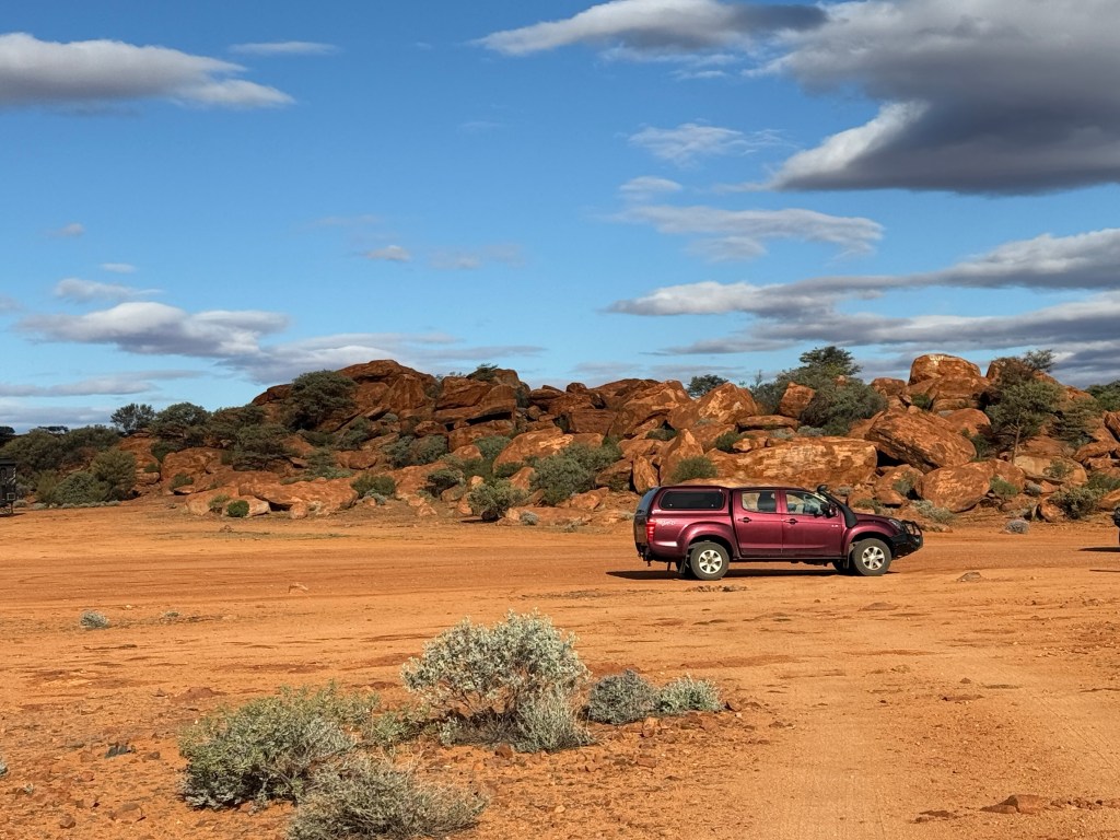
The town’s past seems to have passed! Peace Gorge (big free camping area) about 3km out of town and the lookout the main sights to take in.
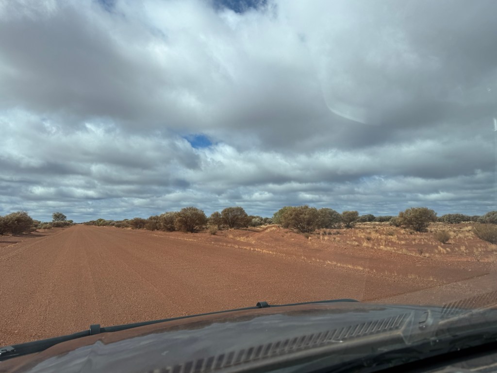
From Meekatharra we went east to Wiluna on the Goldfields Hwy. The road was about 170 kms of good gravel interspersed with sealed sections (about 35%). The sealed bits were on sections that would suffer from flood conditions in the surrounding creeks.
Wiluna is on the edge of ‘no where’ but once had over 10,000 people on the goldfields. Located on the edges of the Gibson and Great Victoria deserts. We stayed a night here in the Councils brand new CP. Excellent and probably the best yet facilities wise. The town has two small convenience stores, no hotel, a cafe that is occasionally open, a school, police of course, some indigenous art enterprises and the Information Centre. A bit to see!
Why come here? You could well ask. Allthego had three reasons for coming. The first two are to do with roads or tracks, to be more correct. Wiluna is the starting point or ending point depending on which way you are going of the Canning Stock Route and the Gunbarrel Hwy.
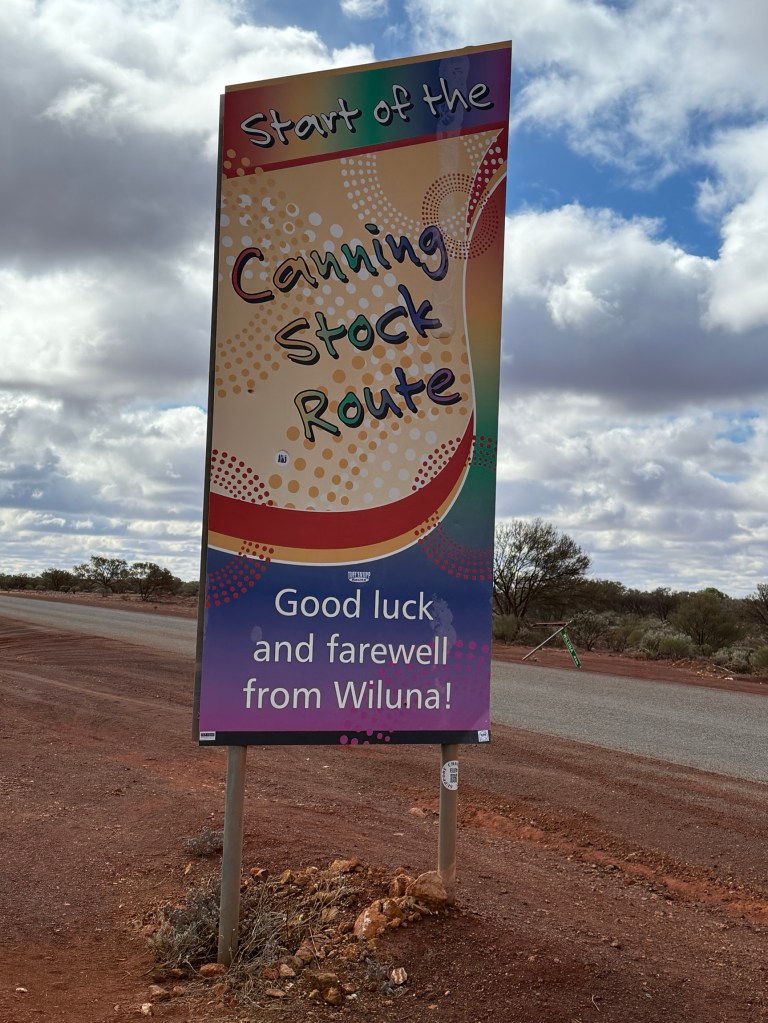
The stock route was developed in the 1906-11 period to move cattle from the Kimberleys, near Halls Creek, to southern markets. The last cattle drive was in 1959.
The Gunbarrel Hwy on the other hand was built as part of a road building project in Central Australia in the mid 1950s early 60s. It runs from Wiluna to Alice Springs. Len Beadell was the main contractor for the road projects and he endeavoured to build this track as ‘straight as a gun barrel’.
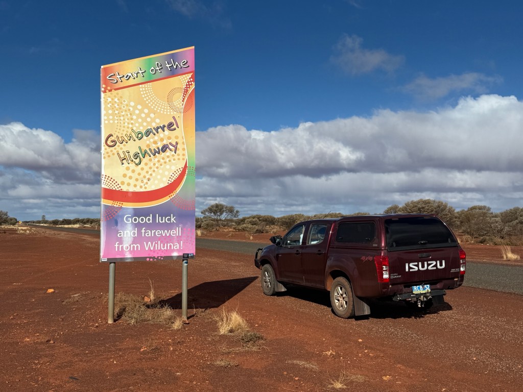
Today, both tracks are for the super 4WD enthusiast with numerous challenges. Allthego and Homealone are unlikely to take them on! But it is good to see them, at least their new sealed starting points!
On the outskirts of Wiluna there are memorial statues of two quite famous desert aboriginals. Warri and Yatungka. The story of their solitary life together in the Gibson Desert, living in tribal exile from the mid 1930s to 1977, made world wide headlines. They came in out of the desert to live in Wiluna following much searching by their tribal folk.
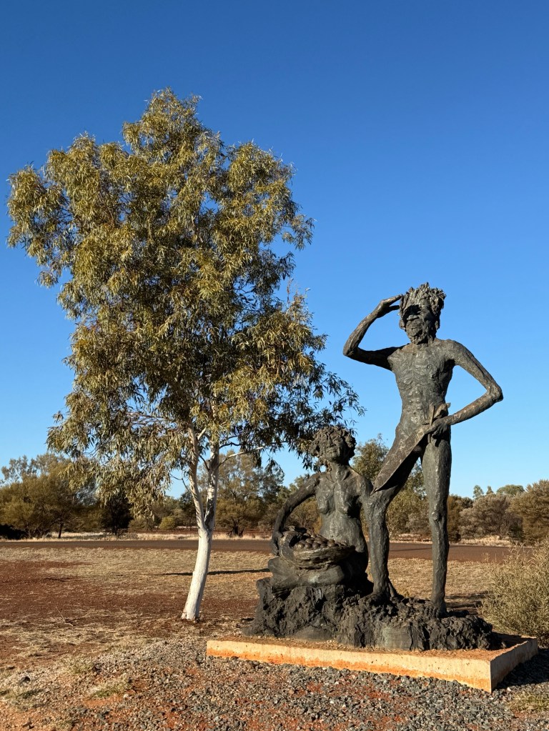
Sadly, the old couple both died just two years later within a few weeks of each other. They are believed to have been the last of the desert nomads leading a traditional lifestyle that had stretched back 40,000 years.
The statues are a fitting monument to them and their life. Something I don’t think I will forget!
We have now moved on from Wiluna down the Goldfields Hwy and are set up in the caravan park at Menzies about 130km north of Kalgoorlie.

We have been in this old gold mining town before, looks about the same except the last pub has closed due to building problems…..it is over 100 years old. Nevertheless, the publican operates for a few hours in the evening from a beer garden set up with food from a food truck parked in the garden. That is enterprise for you. The magnificent old stone Town Hall and clock still stands on the main street as a reminder of a more golden past.
We set off south in the morning for our next stopover at Norseman before hitting the Nullarbor. The blog is now in real time.
Posted on July 30, 2025, in Western Australia 2025. Bookmark the permalink. Leave a comment.

Leave a comment
Comments 0