Monthly Archives: August 2025
Don’t it make you wanna go home…..
We only have a few more stops before getting back to Brisbane. It was a sunny morning as we left Warrawong on the Darling, getting back on the Barrier Hwy to Cobar for the night.
Since leaving Peterborough a few days ago we have been travelling along the Barrier Hwy. It is a quite depressing piece of roadway. Allthego thinks it should be renamed ‘The Slaughter Way’. Never have we seen so much roadkill.

Bodies litter the roadside in a never ending trail of destruction. Kangaroos of all sizes and states of dismemberment and decomposition. Crows feeding on fresh meat. There are emus and pig carcasses among the victims. Probably the odd fox or goat as well.
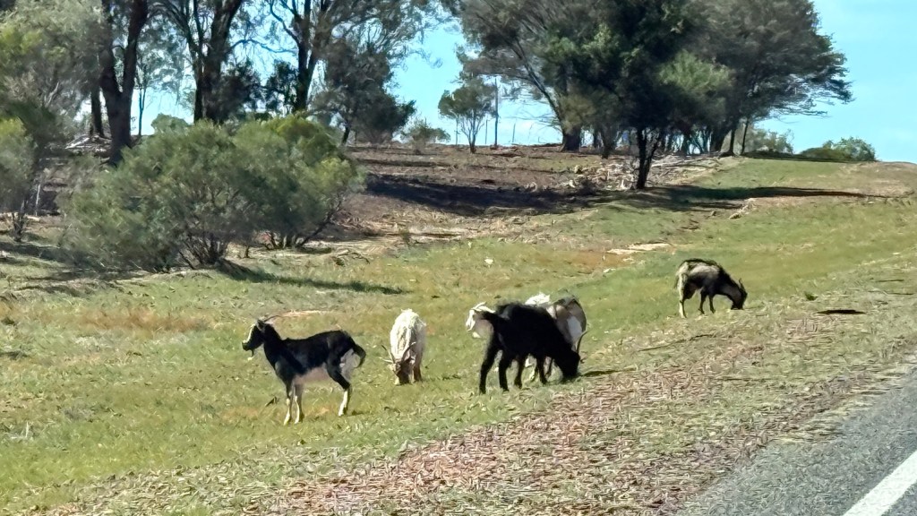
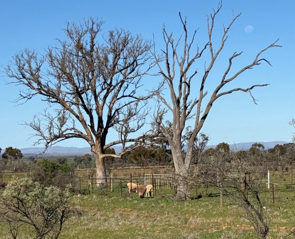
Goats are also present in amazing numbers along the roadside and in paddocks. They are now being farmed like sheep and cattle. There is a big international market for their meat. Small problem is that they are hard to keep in paddocks as they can get through traditional fences set for sheep and cattle. They are smarter than those beasts, so they duck through the fences and wander along the roadside.
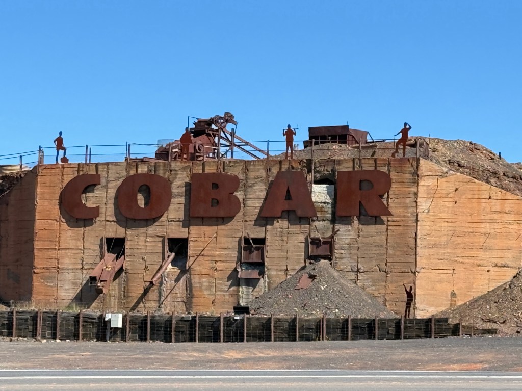
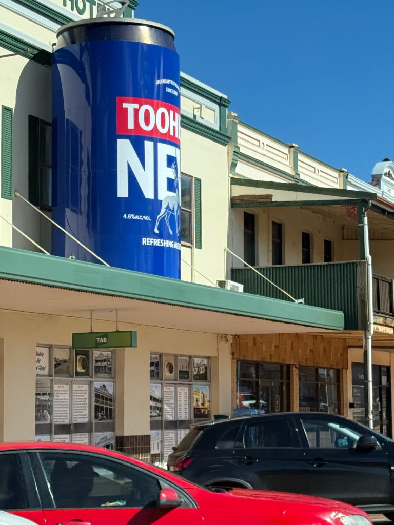
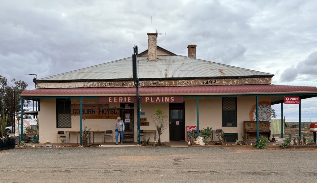
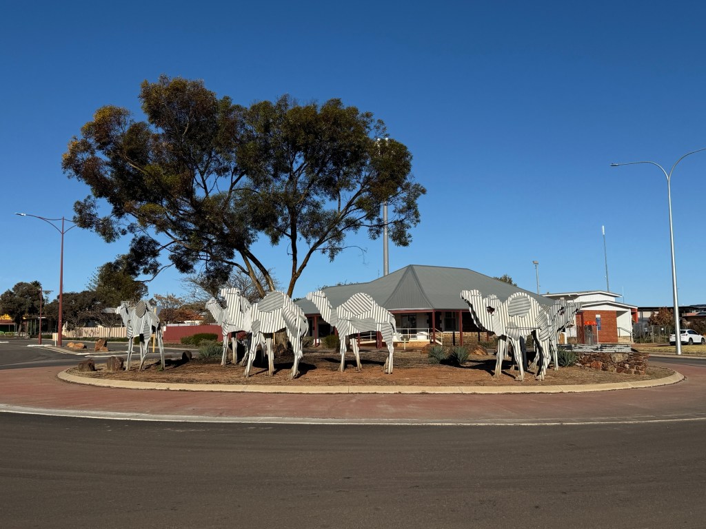
Cobar has its ‘big thing’ like most towns, this one is a 5 metre Tooheys beer can above a hotel on the main street.
Leaving Cobar we continued along through Nyngan and Warren. Nyngan is on the Bogan River which flows north west ultimately ending up in the Darling River to the north of Burke.
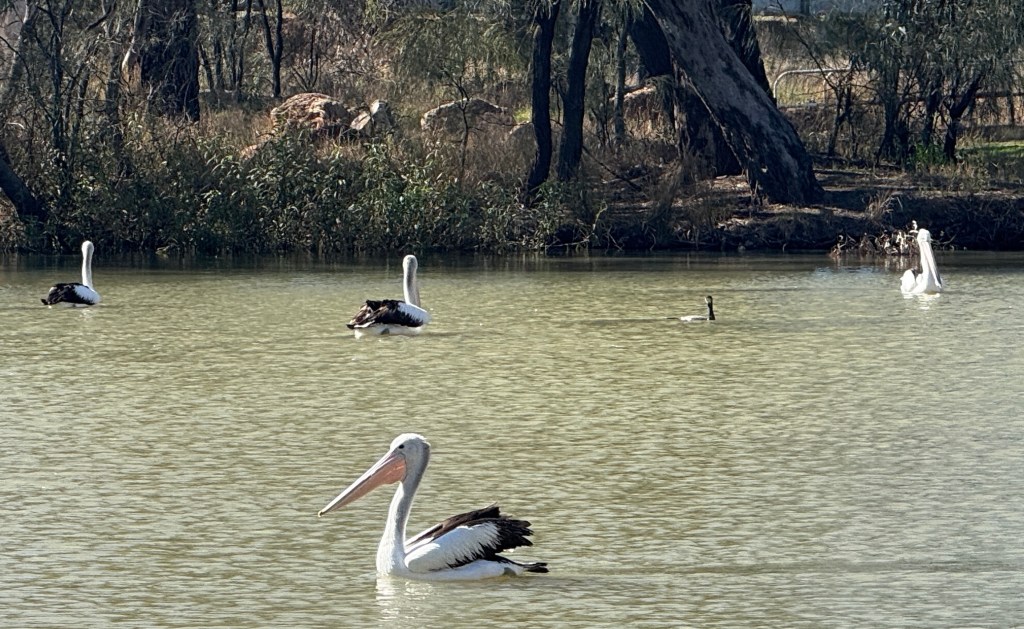

There was plenty of water in the river following some heavy rain in these parts a few days ago. Pelicans were out and about in numbers.
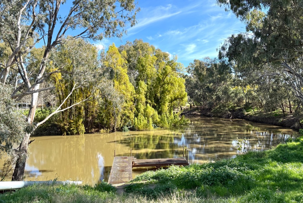
Moving along to Warren we enjoyed a meat pie from Uncle Clarries, even if they came from Dubbo, for lunch by the Macquarie River. Canned tuna and crackers were easy to pass up after a few days of tucking into them for lunch on the road. Sweet corn and mayo is probably our favourite tuna variety and is strongly recommended.
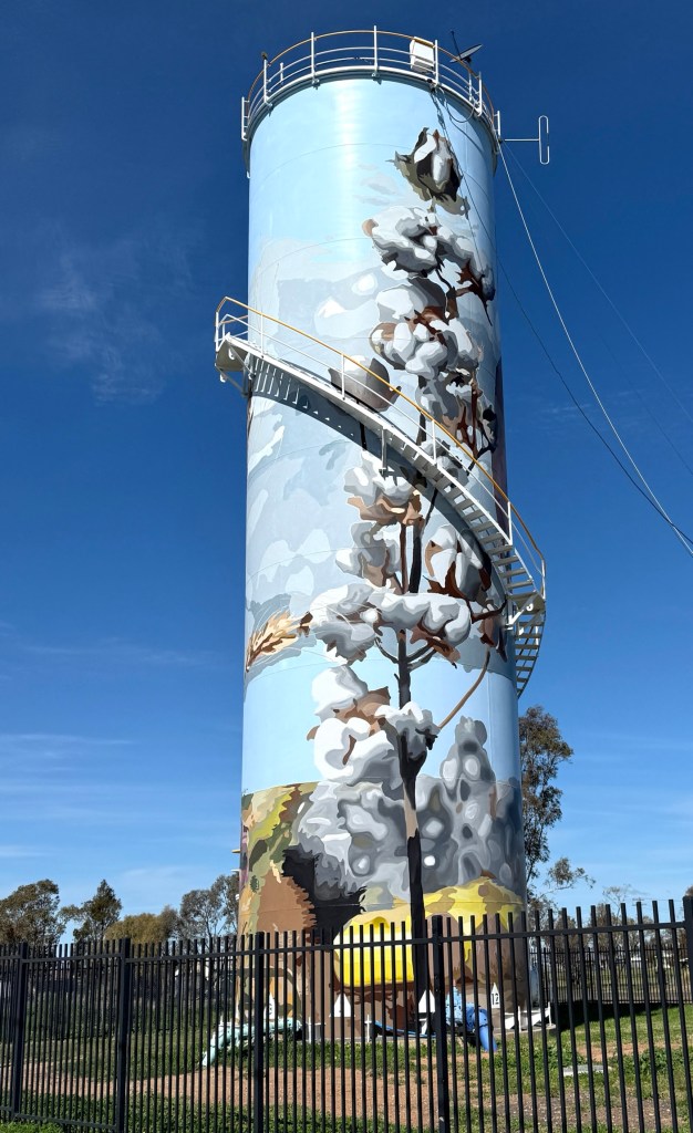
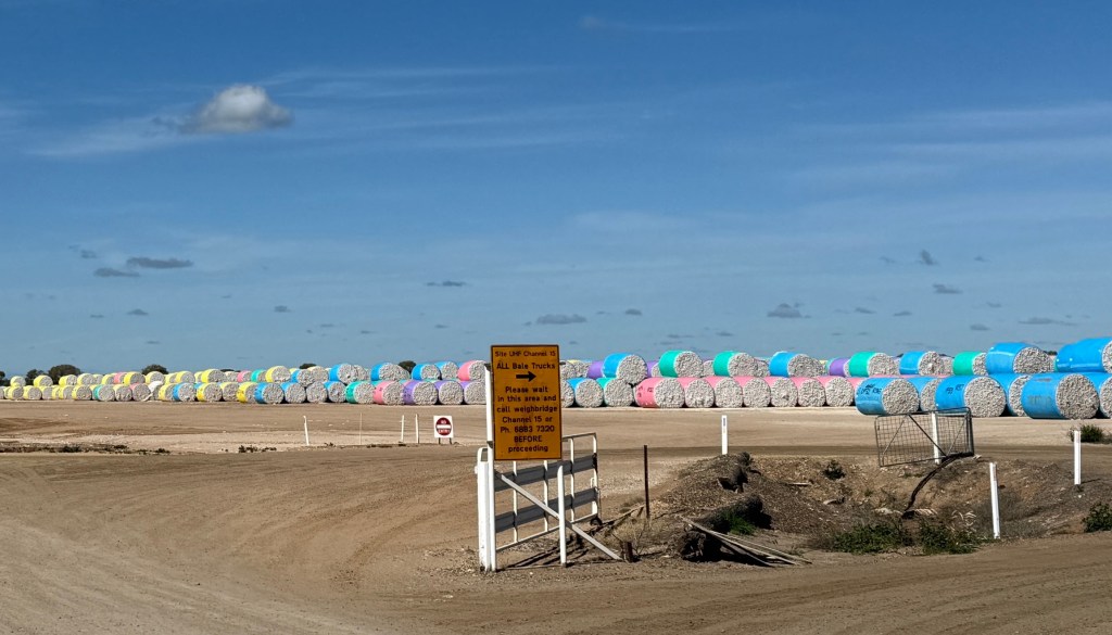
Cotton is big time in these parts and there must have been a recent harvesting of the winter crop. The paddocks are awash with bales of the stuff and the Warren Gin looks to be at full capacity.
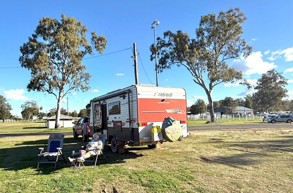
We stopped for the night at Gilgandra, having originally planned for a night at the free camp next to the Information Centre. This is an excellent spot. But it is cold and there is nothing like a bit of warmth on these late winter nights on the road. So we had a night in the caravan park with power to run the heater over night. Very toastee, particularly at 3 am in the morning.
North from Gilgandra the Newell Hwy has had some significant improvements since our last time on the journey up to Moree.
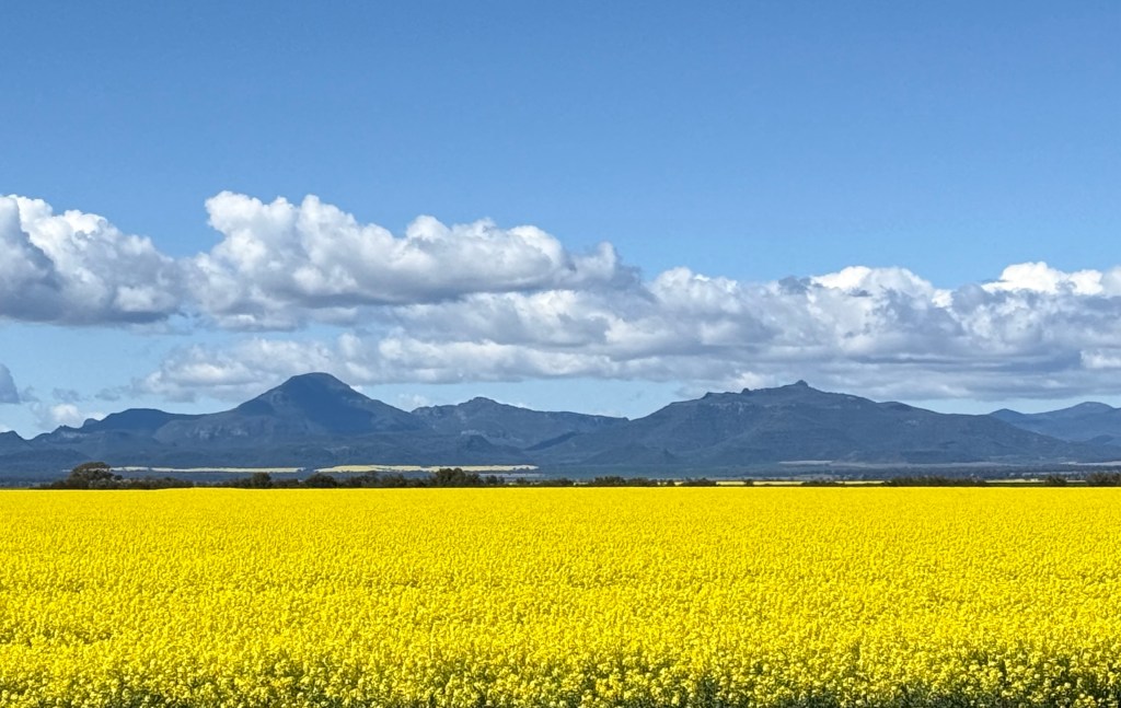
The paddocks are ablaze with the bright yellow Canola crop and the Mt Kaputar ranges in the background look great against the blue sky. The spring crop is presently a bright green contrast, yet to flower.
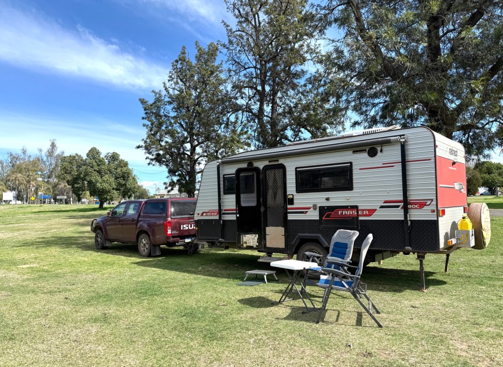
The Moree Showgrounds were too good to pass up for the night, big open sites. We have enjoyed the last couple of late afternoons being able to sit out in the sun. It is noticeably warmer as we have moved north towards Brisbane, though the heater continues to be welcome at night. We survived the night in the Showgrounds and made an early getaway for Goondiwindi and then Inglewood.

We are now sitting beside the van at Inglewood, about 220km to go tomorrow. This is a regular free camping stop for us, just a short walk to the bakery!
We will be back in Brisbane around lunchtime tomorrow.
It seems appropriate to finish off with a song from two country music icons. They are sadly no longer with us, but their music lives on in the Utube universe.
“All God’s children get weary when they roam…..don’t it make you wanna go home!”
Do we know the way?
We are now on the last leg of the way home to Brisbane, not San Jose. But we need to get the maps out to find the way. At least in order to do it in 250-350km leaps.

Doing this means Allthego has had to throw out his prearranged stops from nearly four months ago. We are doing it off the cuff and stopping when fatigue sets in and a rest is required, or where it is just a nice spot to stop.
Our first stop after Penong was at Wudinna, a farming community along the Eyre Hwy at the top of the Eyre Peninsula. We stayed in the local Recreation Grounds camping sites. No grass and plenty of loose gravel but it was just an overnighter. There were a lot of young lambs in the paddocks along the way. Allthego saw the opportunity for a lamb chop, but Homealone was reluctant to acquire fresh lamb from the local butcher. We are running down the freezer. Maybe another time!
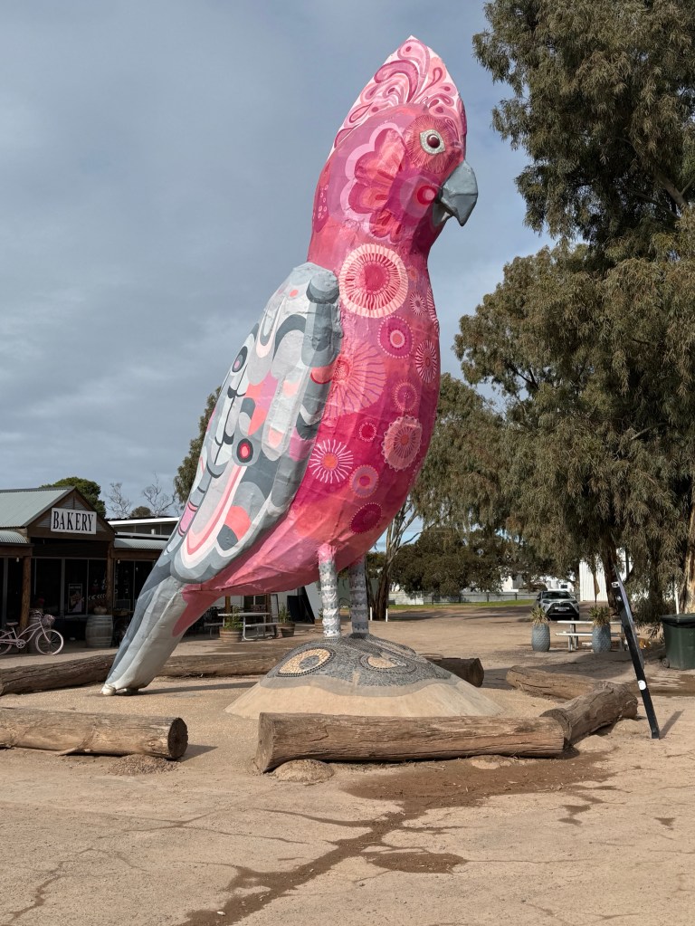
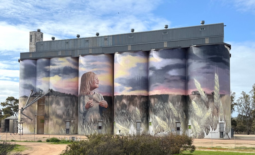
On the way to Port Augusta we passed through Kimba. This town claims to be half way across Australia and has a big galah out the front of a roadhouse. The galah has had a recent refresh and looks superb! There is nearby Silo art as well.
After passing through Port Augusta we crossed over the southern Flinders Ranges and camped for the night at Wilmington at the Stoney Creek Bush Camp.
Great spot with big sites overlooking nearby farming land. They had some local olive oil and honey available too for the van’s cellar.
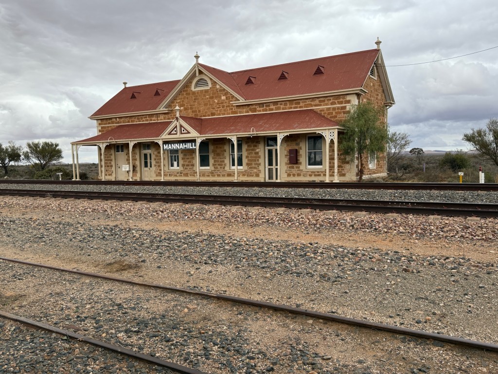
From Wilmington we made our way east through Orroroo to Peterborough.
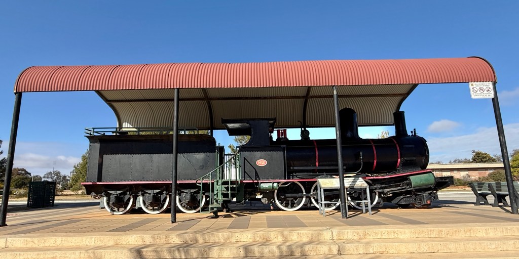
Peterborough was a big rail town in the days of steam and varying gauge widths. It was where many trains terminated because of gauge differences. There is a big rail museum there full of history and story telling from those days.
From Peterborough the Barrier Hwy took us towards the NSW/SA border at Cockburn. Along this section of highway the road tracks very close to the trans continental railway line, the Indian Pacific passes along it between Sydney and Perth. Unfortunately, we were a couple of hours out and missed it en route.
Cockburn has been a location setting for a number of movies (or parts of movies) over the years. ‘Wake in Fright’ (1971) perhaps the best known. There is a bit of memorabilia from the various film sets in the bar area.
Cockburn is a town of six, two run the hotel and another two the Border Diner (this used to be a hotel). What the other two do we wouldn’t have a clue! But we stayed the night in the modest caravan park with three other vans. The publican runs the park, power but no water. Us nomads eight all up outnumbered the residents! Four of us had dinner in the hotel and were the only customers. Choice of fish n chips, chicken schnitzel and steak schnitzel. Chips and salad, tartare sauce for all three. Not too bad indeed.
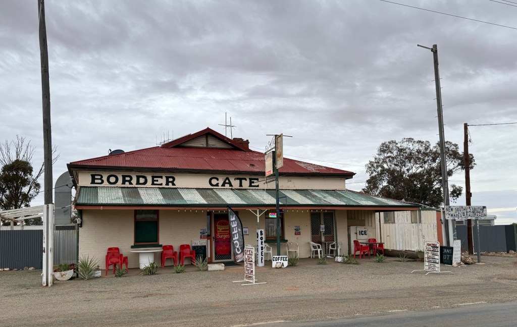
In the morning we tried the Border Diner for a bacon and egg brekkie, also ok. Thoroughly recommend this stop for something different.
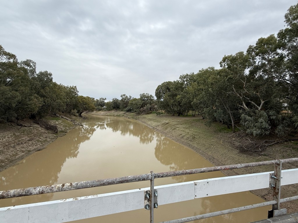
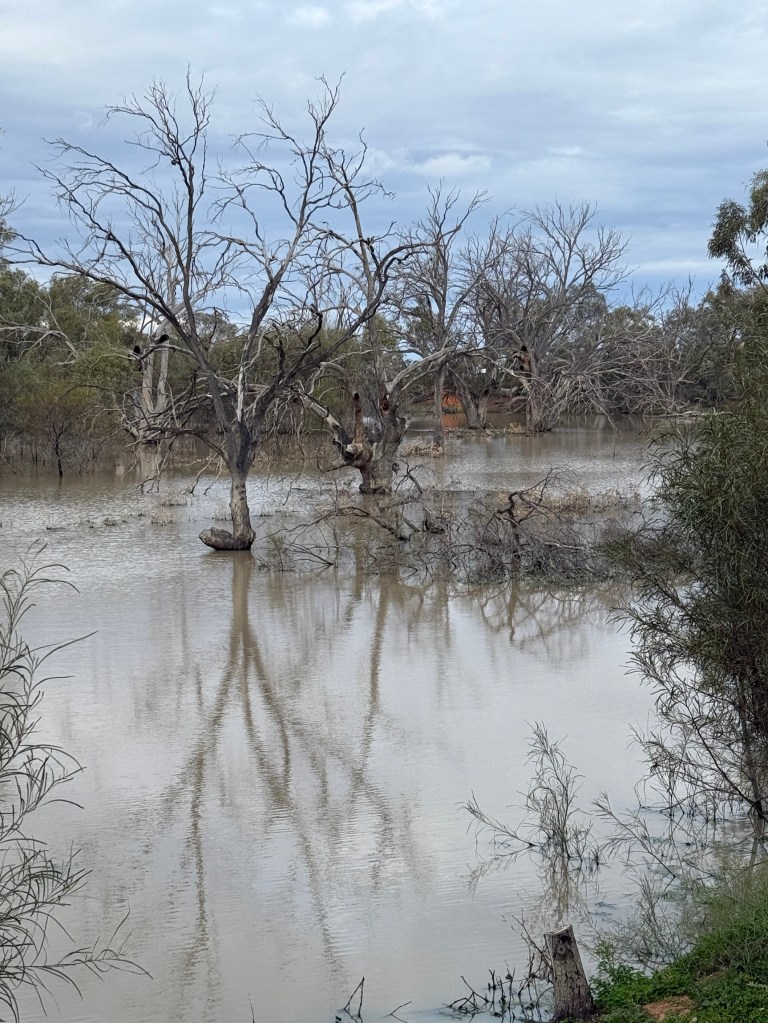
Moving along through Broken Hill we are now at ‘Warrawong on the Darling’. A van park beside a Darling River billabong, just outside Wilcannia.
The long and straight road.
We got to Norseman in good time from Menzies via Kalgoorlie, where we stocked up on a few groceries to get us home across the Nullarbor.
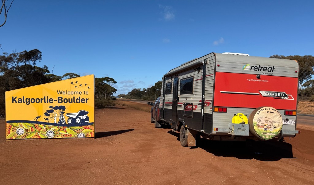
You can park in some funny spots sometimes by total accident, this time it was right outside Kalgoorlie’s house of ill repute in Hay Street.
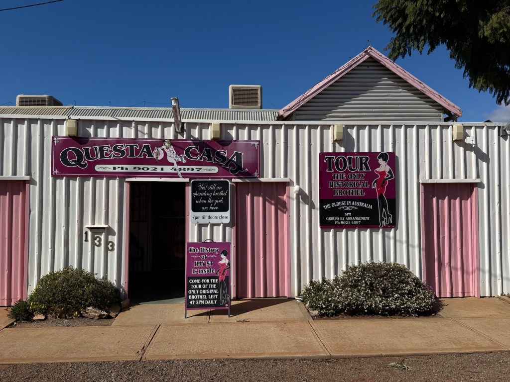
It has been there a long time, since the late 1800s and you can do a tour of the establishment to see what it is all about. We thought better of it and headed for Woolies instead.
Norseman is an interesting old town at the cross roads of WA’s connection point with eastern Australia. Roads come from the west and meet here to funnel onto the Eyre Hwy for the journey east across the Nullarbor.
We left Norseman early, wiping ice off the windscreen, and made about 320 km to another free camp at a spot named ‘Baxter’. Before reaching Baxter Allthego revisited a tee on the longest golf course in Australia.
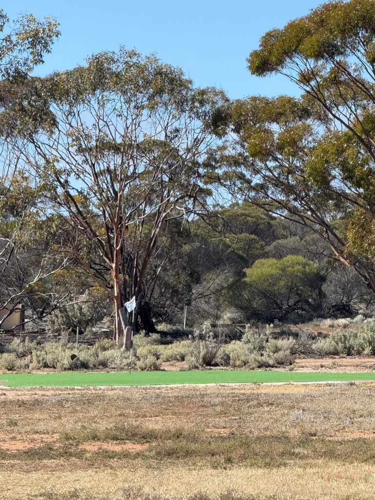
The course stretches across the Nullarbor from Kalgoorlie to Ceduna. Eighteen holes of challenging tees, fairways and greens. They are located at various courses and roadhouses. This one is just out from Norseman and called ‘Golden Eagle’ after a 35kg gold nugget that was found nearby in 1931.
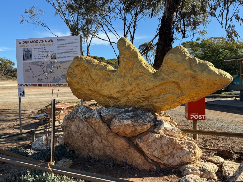
At current prices it would have been worth in excess of $6m. Allthego recommends the course to all travellers, his score a few years back, circa 150 plus.
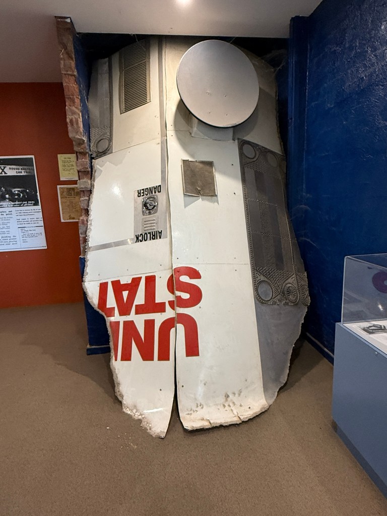
Earlier we had lunch at the Balladonia roadhouse after getting some fuel. The roadhouse’s claim to fame is that parts of the US Space Station ‘Sky Lab’ came down here when it broke up over south west Australia in the 1970s.
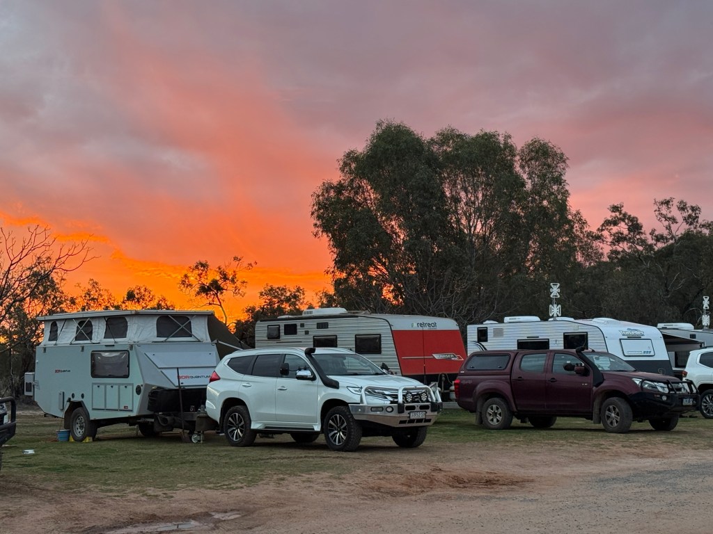
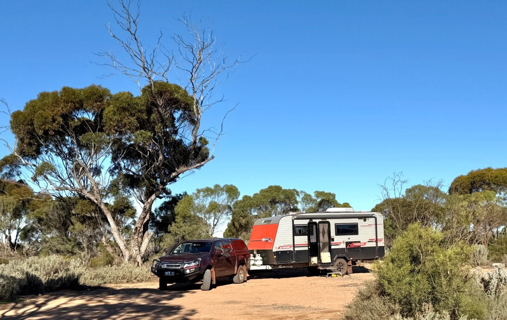
There are about ten other vans keeping us company for the night well back from the Eyre Hwy. Watched the Broncos put the cleaners through Souths!
Moving on our next night was at the Mundrabilla RH. A pleasant spot. The wind started to get up on the way there. Fortunately, from the north west at around 40km an hour up and down. So it was tempting to turn off the engine and put a sail up. It pushed us along quite nicely, a little bit of side wise buffeting but all ok!
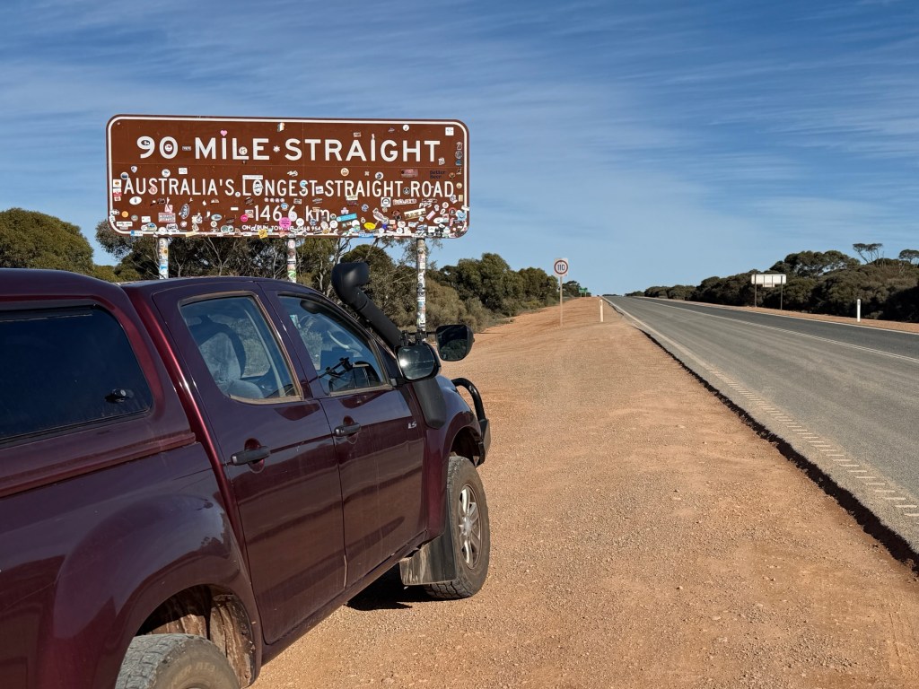
There is a road house at Caiguna, before Mundrabilla, where the longest stretch of straight road in Australia ends. It is 146kms long without any twist or turn, dead straight.
You sort of just point the vehicle straight ahead, it is tempting to put a knee on the wheel and do a blog entry to fill in time! But of course you wouldn’t do that.
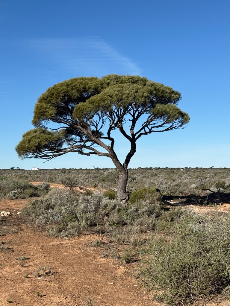
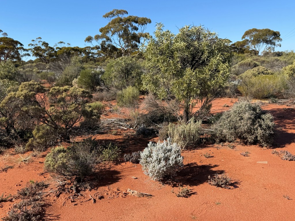
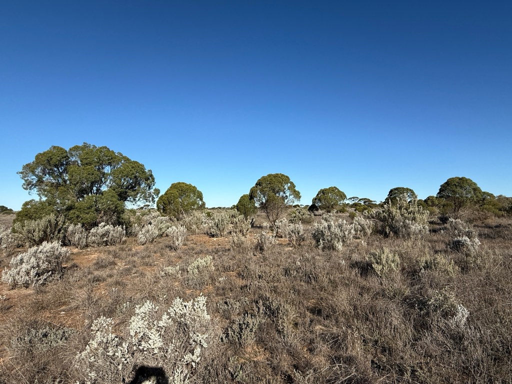
Trees are starting to really thin out too! Endless stumpy bush and grasses stretch out to the horizon.
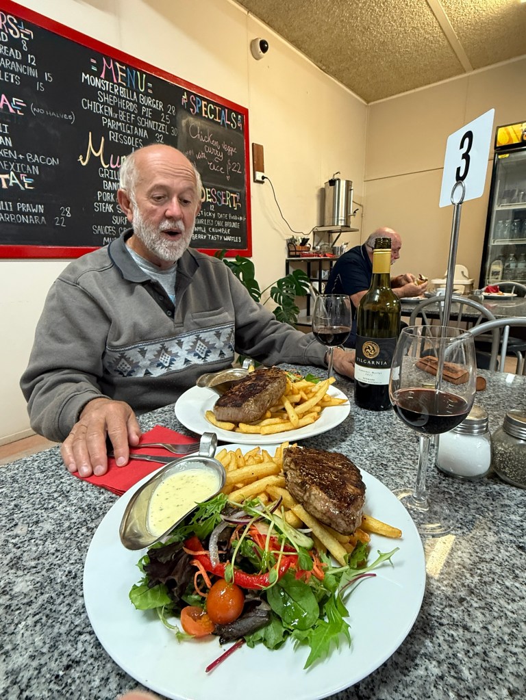
Mundrabilla saw another milestone reached with Allthego notching up 73 years on the road. We celebrated at the RH with a nice scotch filet and a Denmark WA red. All looking foreword to squeezing a few more road trips out of the truck and van.
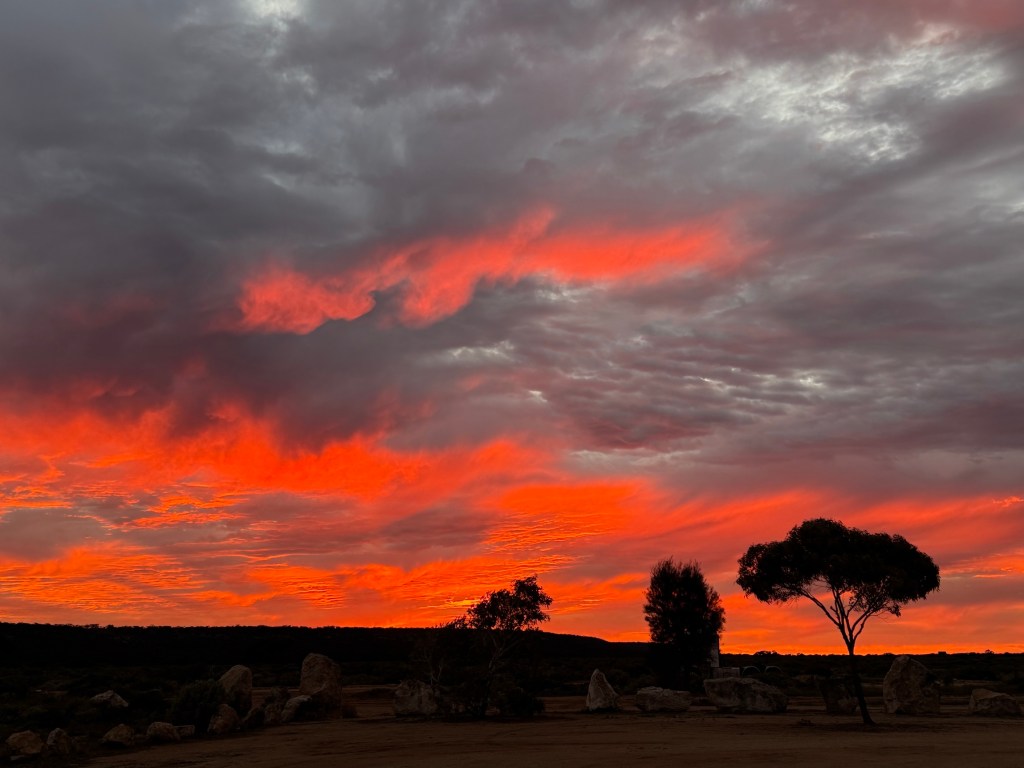
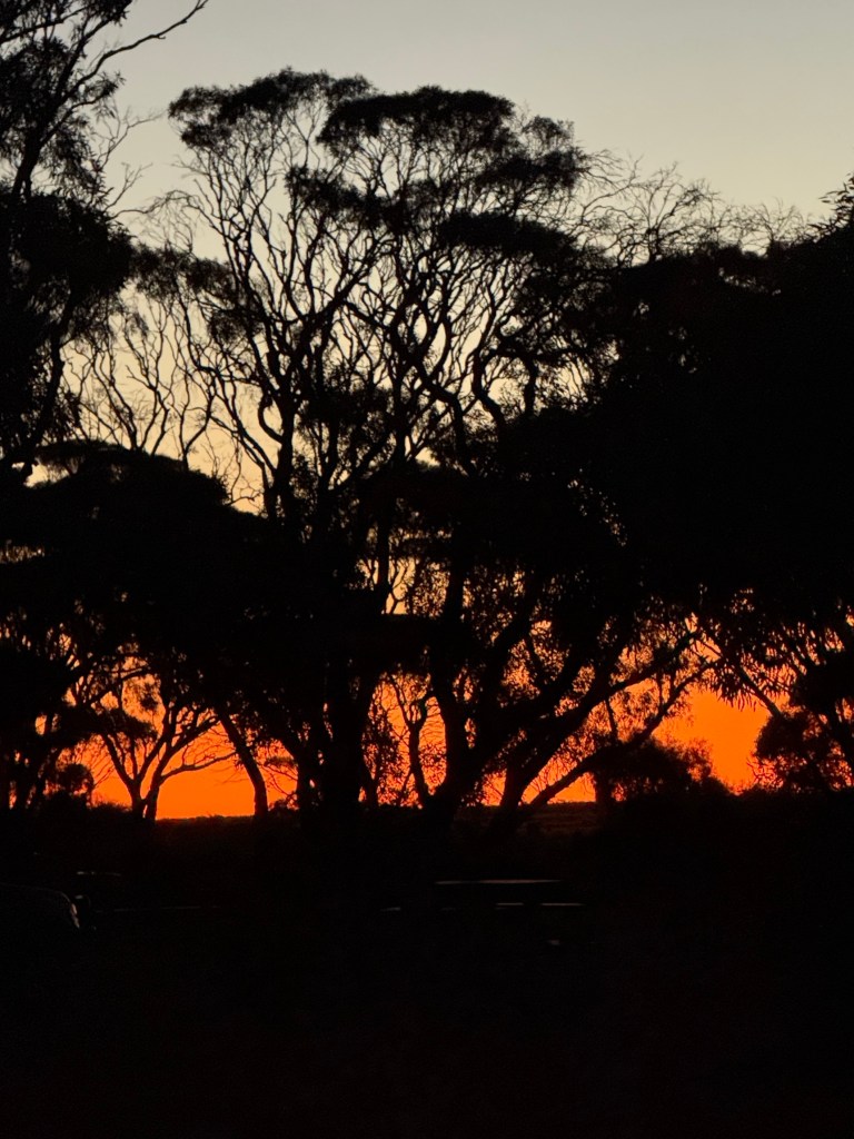
Got away in the morning to a very red morning sky, a shepherd’s warning. But it came to nothing until later that night!
Leaving Mundrabilla the road rises through the Eucla Pass, from the plains that run along the coastline, back to the top of the Nullarbor plateau.
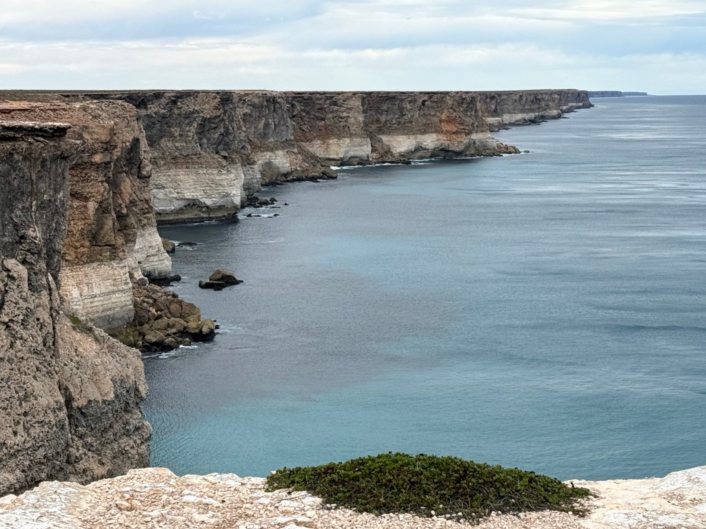
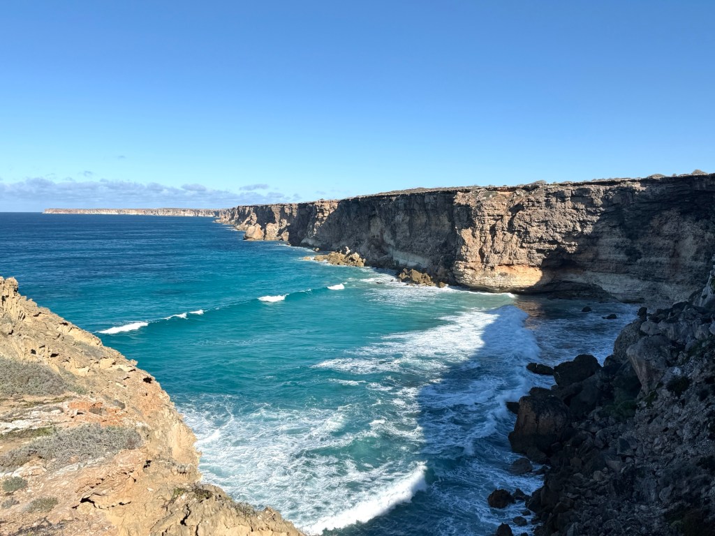
From here to our next stopover at the Nullarbor RH the road tracks close to the spectacular Bunda Cliffs.
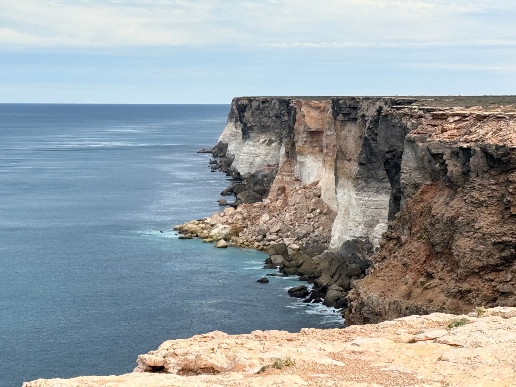
We have been across the Nullarbor on an earlier trip but these cliffs seem to be magnetic, you just have to have another look! And I think they look different depending on the weather, the time of day and even the viewers mood!
The Nullarbor RH is located near what is known as the ‘Head of the Bight’. The road house has been here for a long time and was one of the first on the Nullarbor. It also has the most expensive diesel we have come across on the entire journey, $2.98 a litre. Glad we are going with the wind!
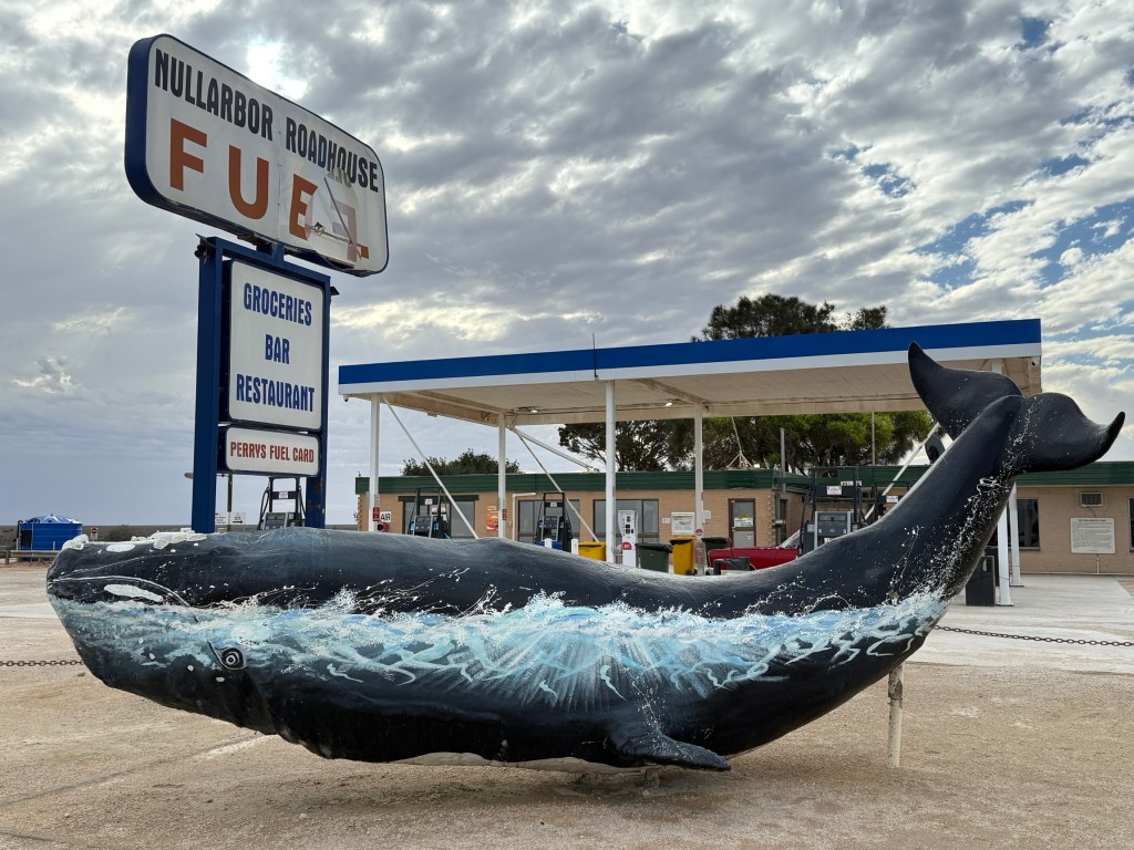
The overnight stop here was so that we could check out the whales at the ‘Head of the Bight’ Whale Centre. This we did the next morning after weathering a pretty fierce overnight rain storm. It came down heavily in a few bursts, particularly early in the morning (like 4am).
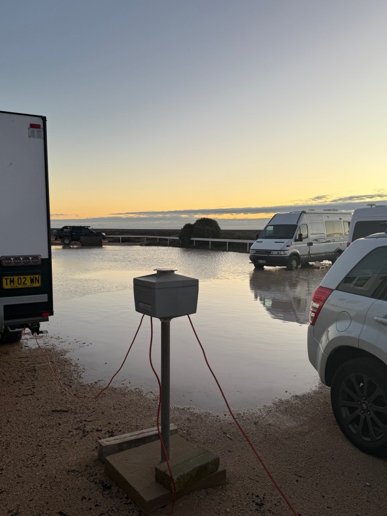
We woke up to a partly flooded van parking area, our feet were not in the water unlike a few other nomads. Those shepherds were right about the red skies yesterday morning.
Fortunately, we were relatively dry and quickly made our way the 25 km or so down to the Whale Centre at the Head of the Bight. It was extremely windy and chilly but we had some great views of the whales from the lookouts. A number of ‘mother’ and ‘baby’ whales performing in the waters below.
Here are a couple of videos of ‘whale times’ at the Head of the Bight’.
We are now at Penong not far from Ceduna and settling in for the night, pitter patter of light rain on the roof. Heading across to near Port Augusta tomorrow.
