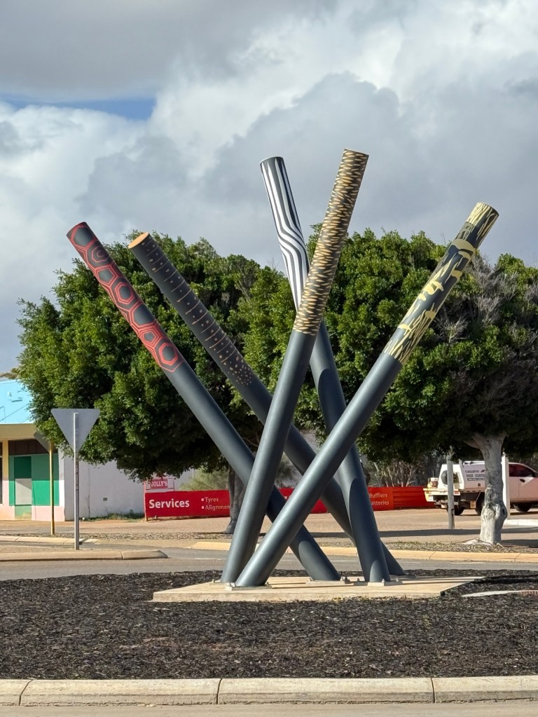
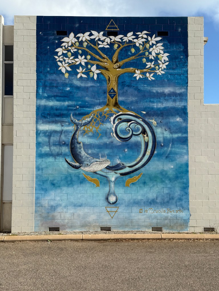
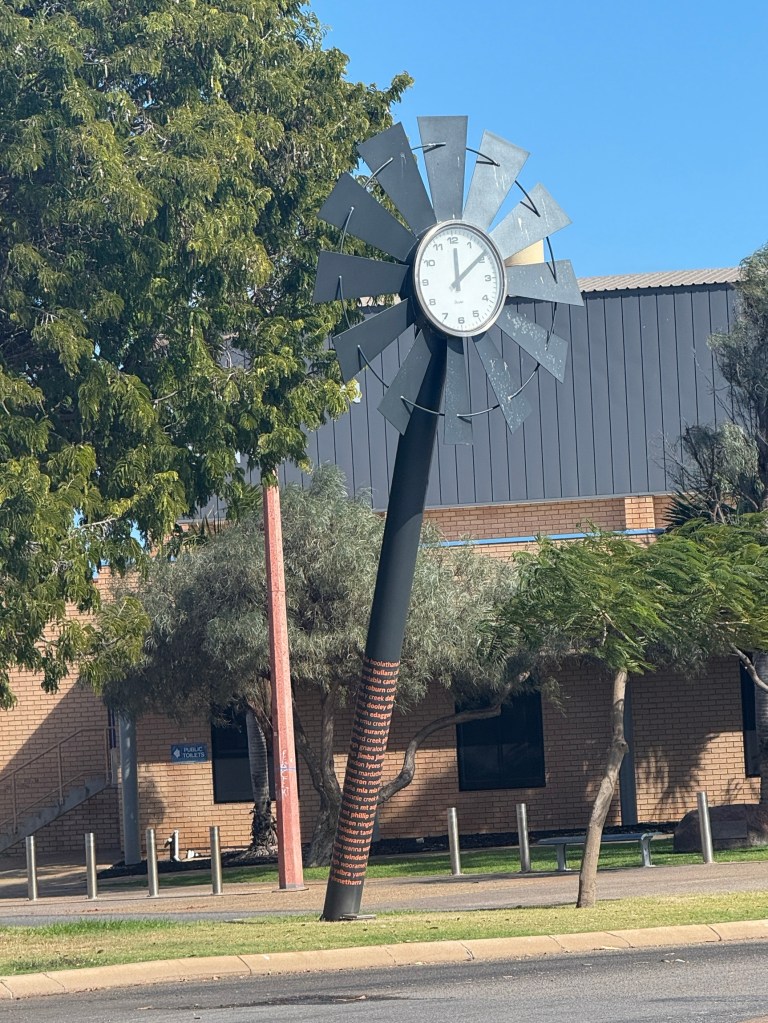
Carnarvon
Carnarvon is the most southern point along the coast that we have reached on this trip. It is located just to the north of Shark Bay where we made it to from the south in 2016, nine years ago! Seems like yesterday.
Carnarvon is also the geographical point along the coast where agriculture starts to replace cattle grazing as the main economic activity. To the north of the town along the dry Gascoyne River is quite a maze of plantations. Bananas, mangos, avocados and all sorts of vegetables are grown. There is a food trail which we drove around with a number of road side stalls and farm shops selling ‘overpriced cut priced’ produce. Got to make a buck. But the foodstuff is fresh and the preserves have interesting flavours and combinations. All tempting.
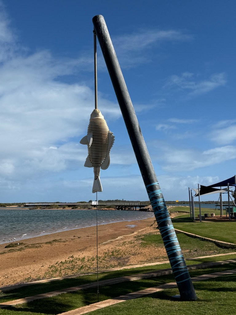
At the other end of town is the mouth of the Gascoyne River and the Indian Ocean, the dry bit stops and water flows to the sea. Must be very sea water influenced at this dry time of year.
It was a little breezy and chilly and there were not many people around. There are monuments to HMAS Sydney II and HSK Kormoran along the foreshore, the Australian and German ships that fought a sea battle off the coast here in WWII. All of the Sydney’s crew perished and many of the German ship’s crew managed to get ashore and ended up being detained in prisoner of war camps.
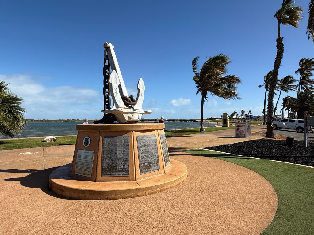
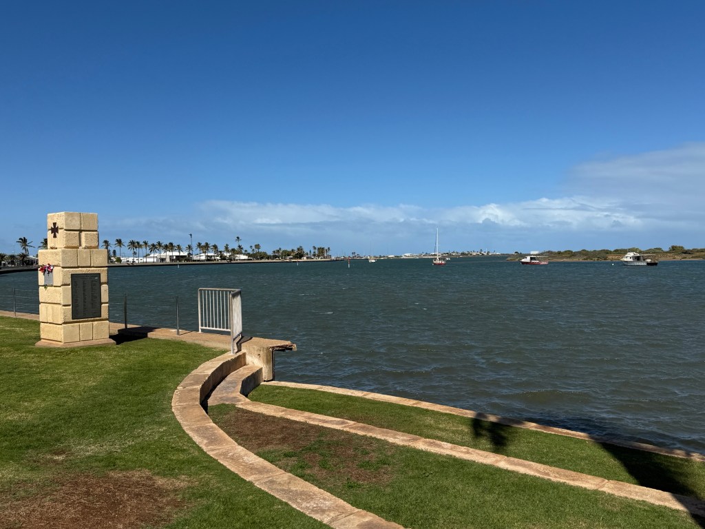
The remains of the two ships were found in 2008 in deep water off Dirk Hartog Island at Shark Bay. There is also a big monument in Geraldton commemorating the battle.
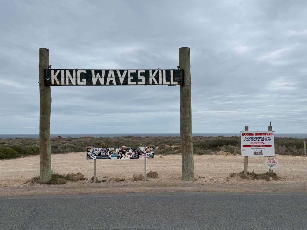
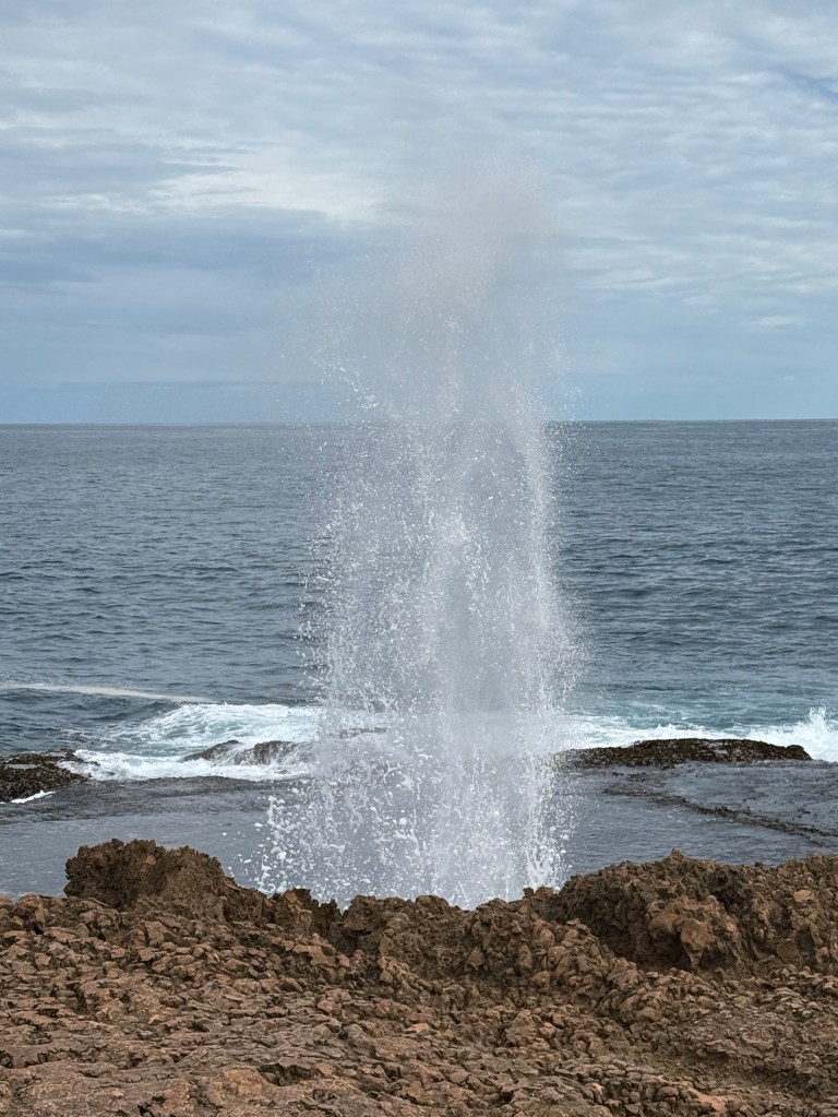
About 50km north of Carnarvon is Quobba Point. Famous for its rugged coastline and blowholes. We made a morning visit to catch the wave action.
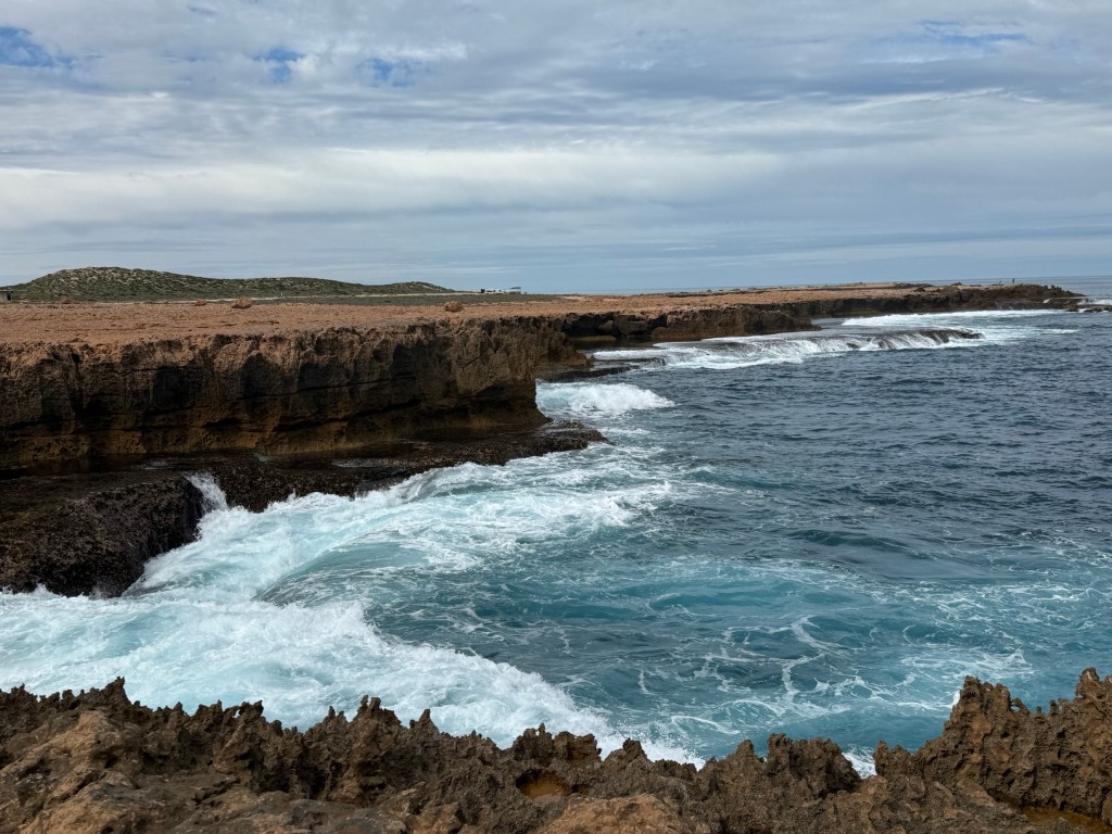
We were also rewarded with a number of whales passing close in putting on a spectacle for the onlookers, sound effects included.

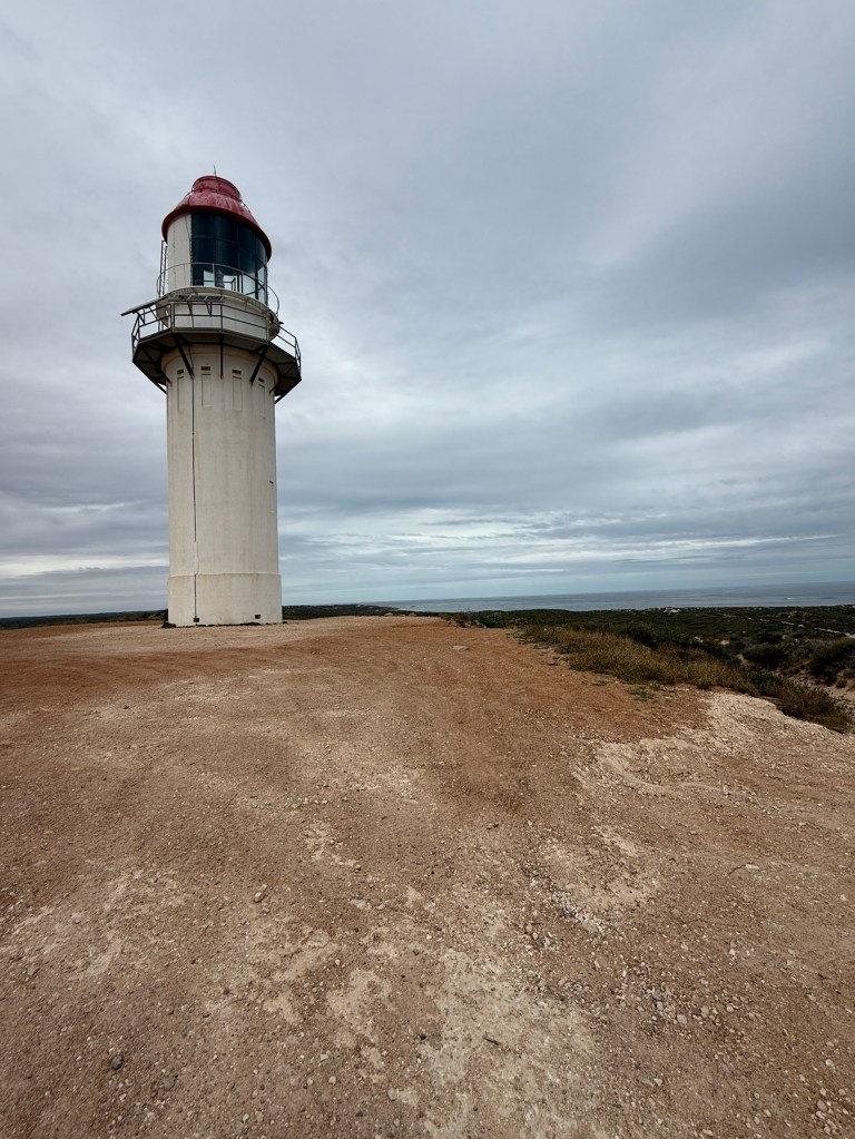
Carnarvon used to have a tourist tram that re enacted the route of a freight train that ran from the town, across an island and then a kilometre out to sea on a jetty to load ships (in the 1800s/1900s). Due to cyclone damage and age it has been closed for safety reasons. Proposals are afoot to restore the jetty and the tram. Tourism people are very keen, it also links the historical part of Carnarvon at the jetty to the town. There used to be a large whaling station there and a lighthouse.
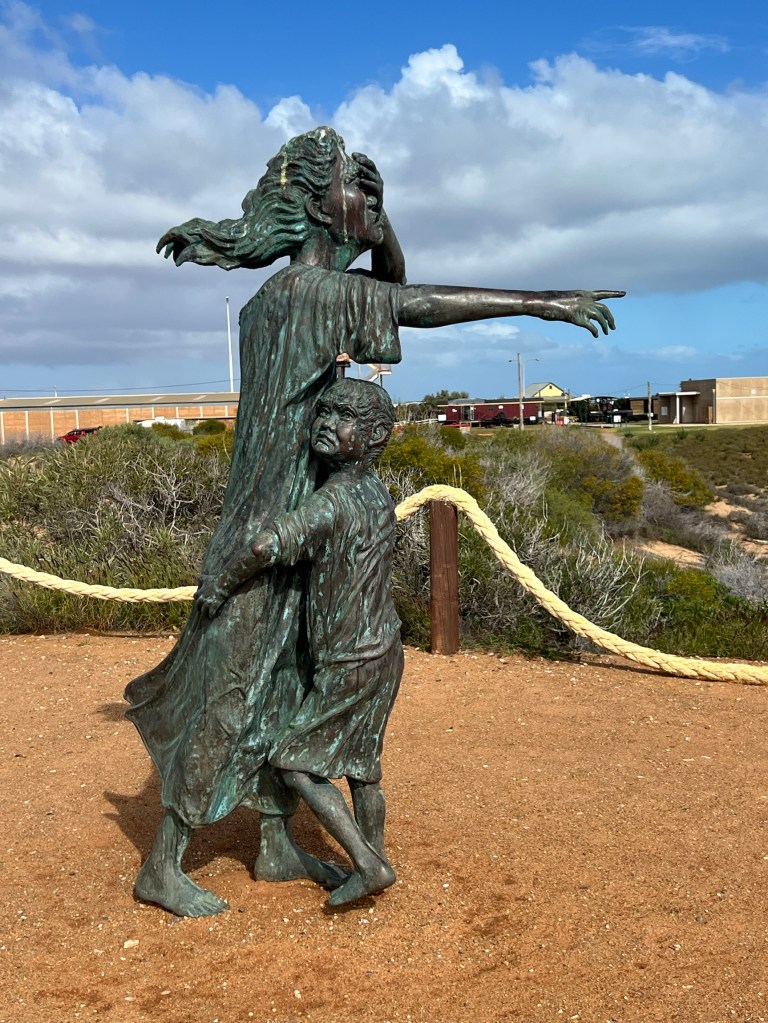
The area was also the spot where for about 12 years up to 1918 indigenous people from all around WA, suffering from diseases like leprosy, were transported to remote islands off Shark Bay. Many had never seen the sea before and died en route or on the islands.There is a bronze statue reflecting the separation from family and the pain of those being transported.
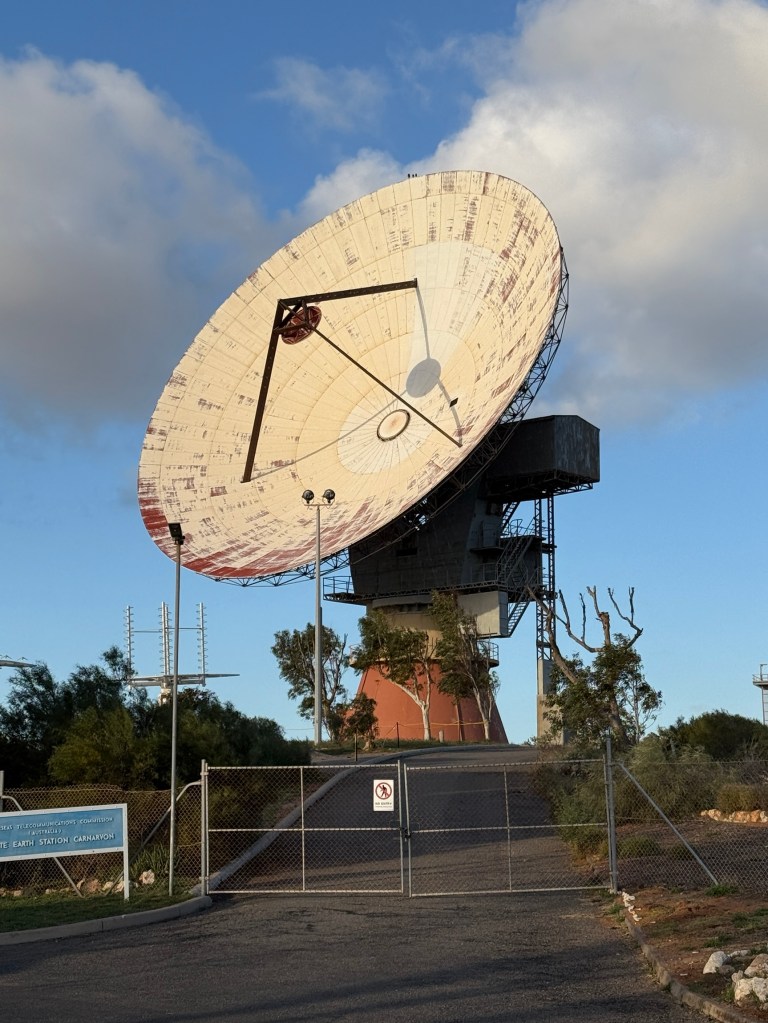
The town is also the site of a former satellite communications base for what is now Telstra. There is a big dish here and other memorabilia of space exploration and the role played by the equipment. It was used to track Apollo 11 on the first moon landing. Now all decommissioned but preserved in a museum.
From Carnarvon we begin the trek back to Brisbane, travelling down towards Geraldton and then turning east to Mullewa in wildflower country. We hope to see a few but are very early in the season.
Posted on July 28, 2025, in Western Australia 2025. Bookmark the permalink. Leave a comment.

Leave a comment
Comments 0