Mitchell Falls
We have learned that the Gibb River Road past the Drysdale Station turn off has opened, plenty of water still around though. The Hann River crossing has about 60 cm of water. So the way ahead is looking good!
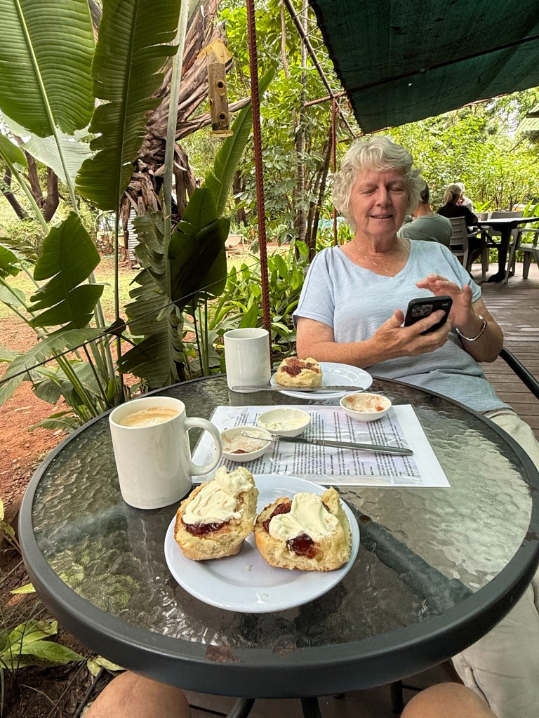
We have decided though to stay another three nights at Ellenbrae, as we are still unable to go up to Drysdale Station and then on to Mitchell Falls by the Kalumburu Road. We have had conversations with APT re the booked lodge accomodation at the Falls. They have actually cancelled bookings, including ours and a refund is on the way.
What to do though? The Mitchell Falls visit was one of the big ‘ticks’ for this trip so we have lashed out on a day trip by light plane from Ellenbrae.
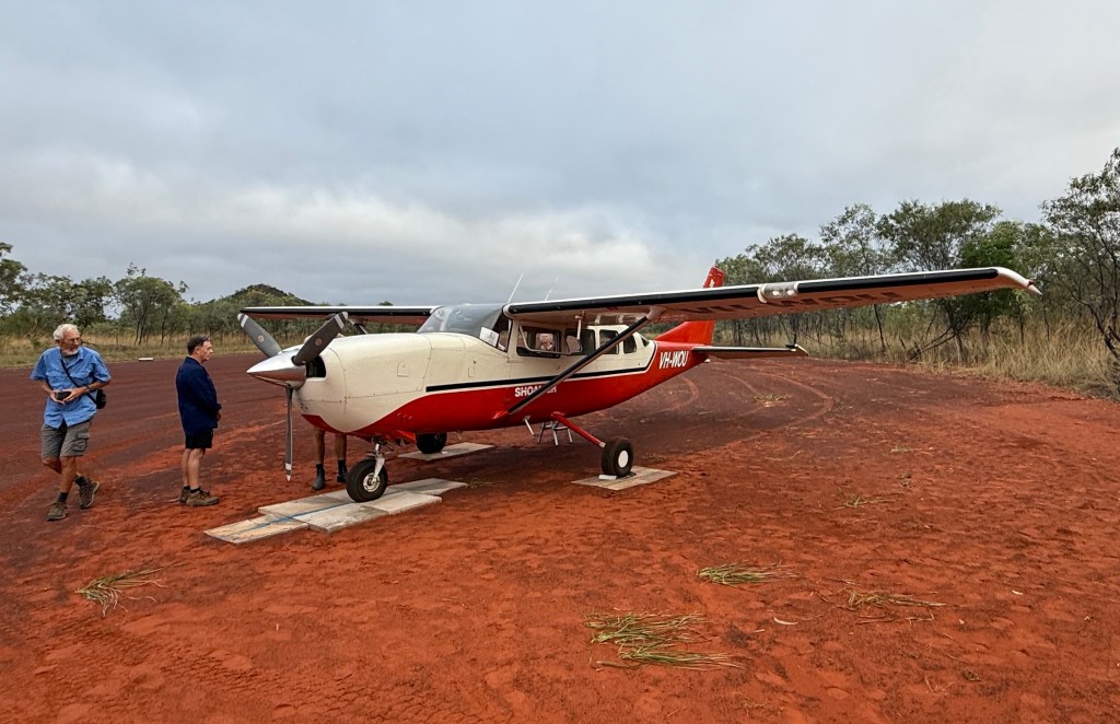
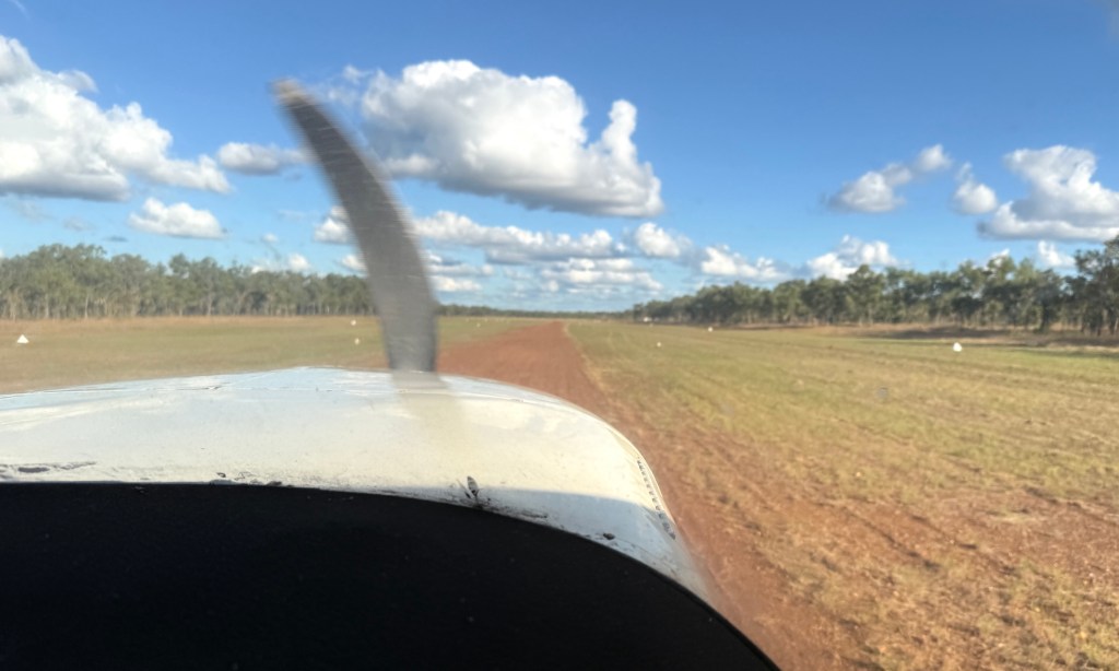
It was an early start. Pickup from the campground was at 6.40am. There were six of us on the Cessna plus the pilot. Allthego was upfront helping him with the navigation and other technical matters, including being told to keep his feet away from the floor pedals.
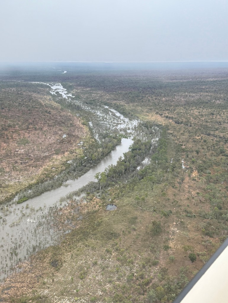
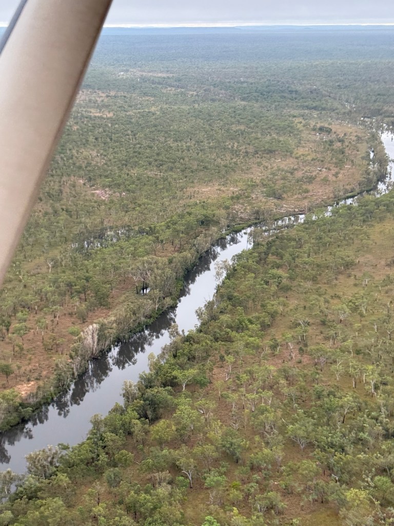
Takeoff from the Ellenbrae strip was a little after 7am. As we wheeled away we passed over the Ringers Camp site, van in view! It was a fairly low level flight, around 2000m, under some broken fluffy low cloud. Great views of the landscape and swollen rivers.
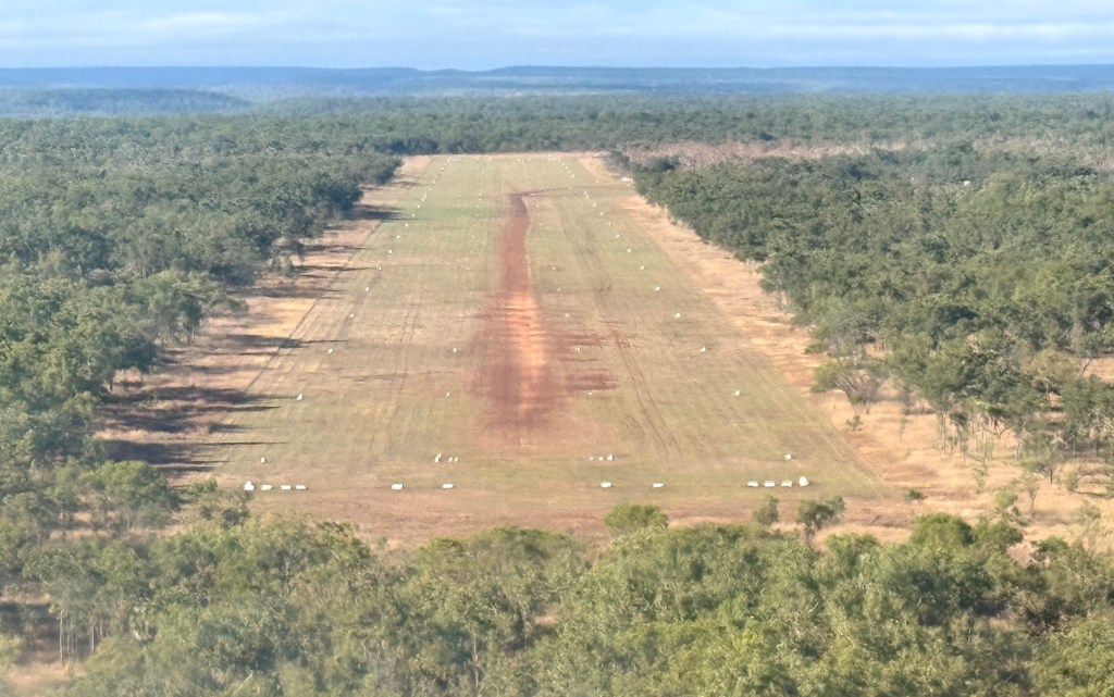
It took just on an hour to reach the Mitchell Falls plateau air strip. The strip was originally built by Rio Tinto when it was exploring for bauxite on the plateau. They did find lots but because of the remoteness it was uneconomic to mine. A good outcome for the country. And the airstrip is ok of course! A nice smooth landing on the gravel, some little bumps here and there of course to be expected.
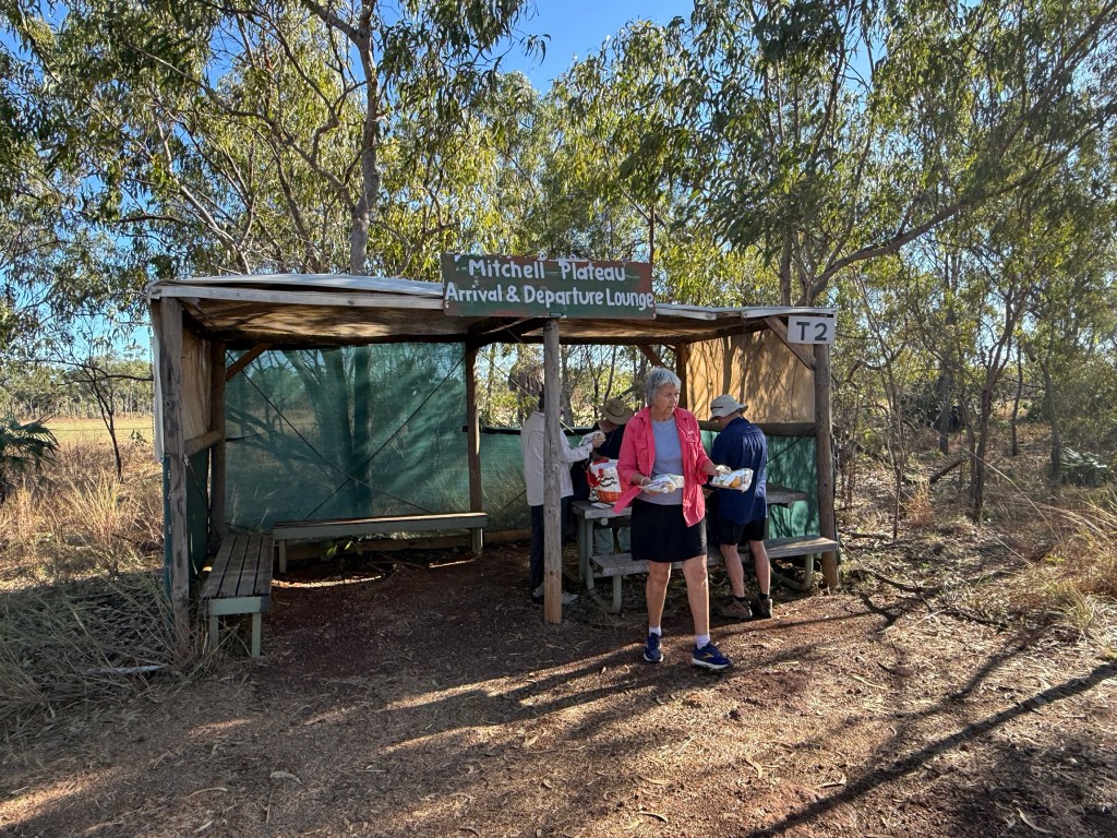
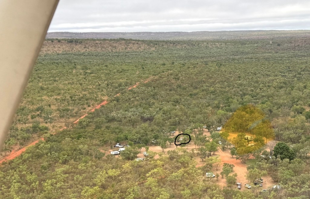
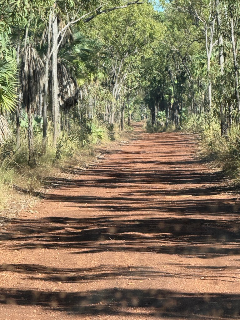
The air strip was half an hours 4WD, along an in places wet and muddy bush track, from the Mitchell Falls NP camp ground. This was our destination and where the next stage of the journey to the Falls would start.
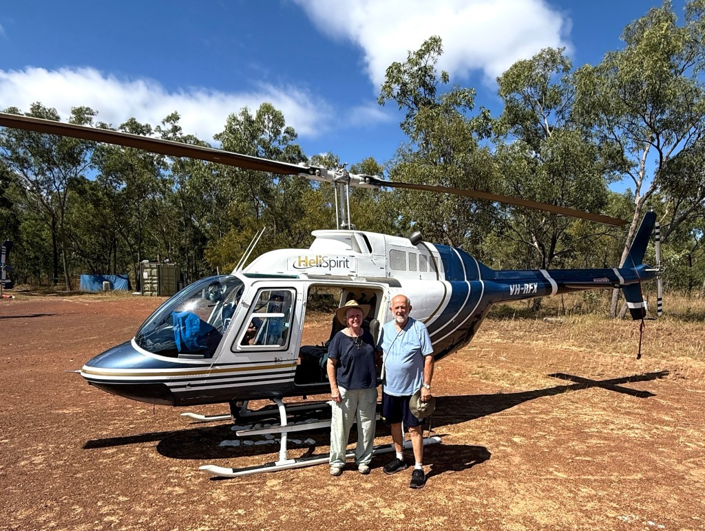
A ten minute Bell Helicopter jaunt down to a chopper pad beside the Mitchell River, 100 metres or so before the river plunges over the 4 level drop to the river far below.
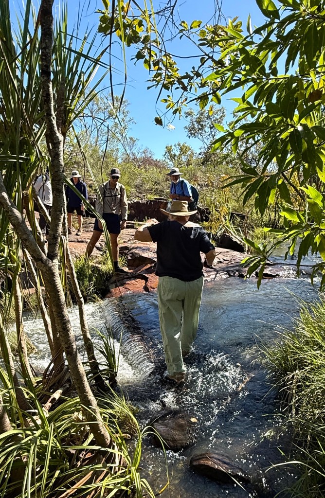
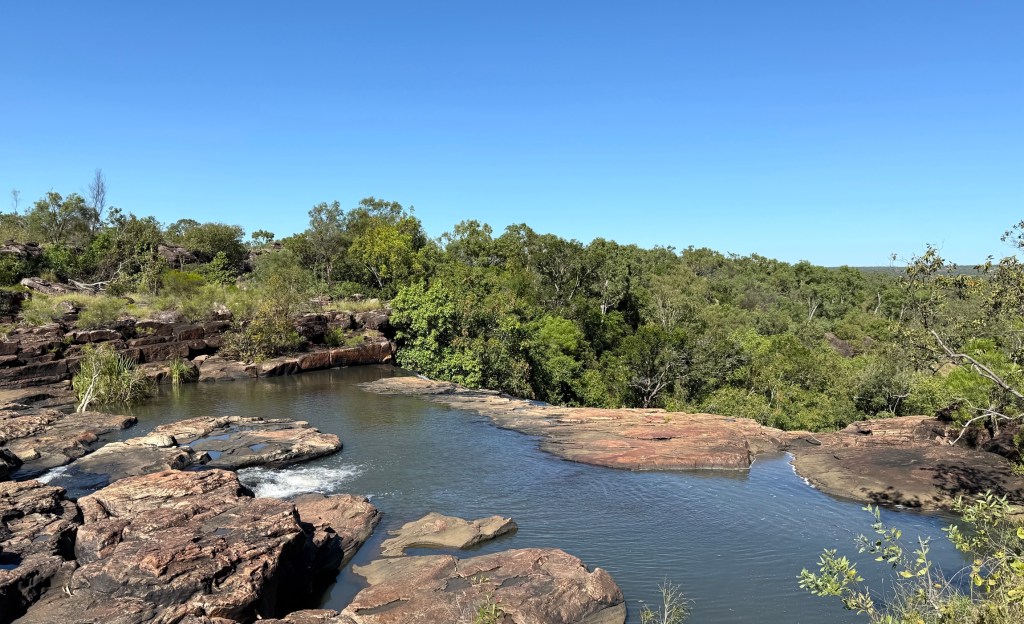
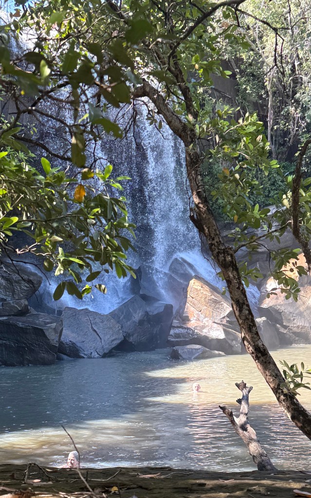
But before we got in the helicopter, it was 9am, we were off on a walk down to Little Mertens Falls. It is about 3km return and along the track that ultimately leads to the Mitchell Falls. It was to take just just 3 hours including time at the base of the falls for a swim and checking out the rock art.
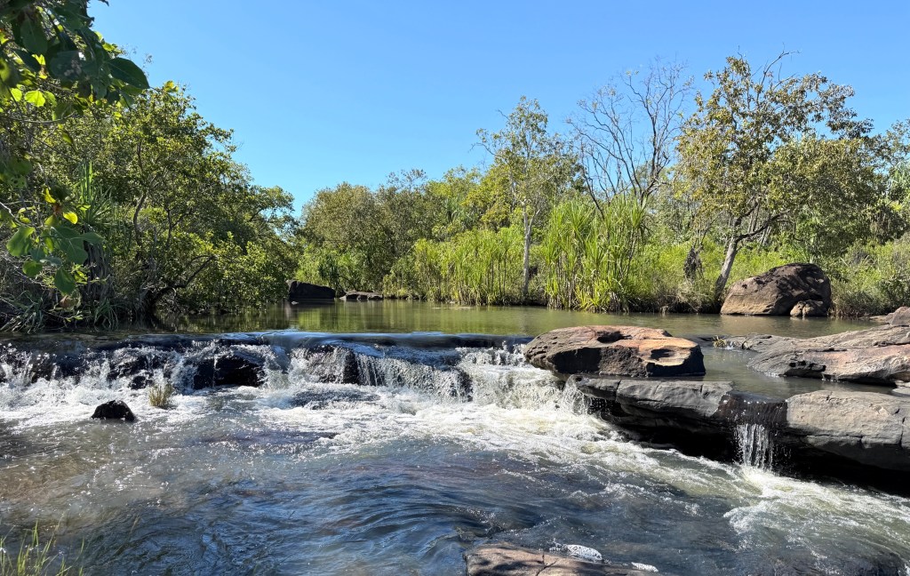
The first part of the walk is reasonably easy going, including a bit of creek hopping and getting the feet wet before reaching the top of Little Mertens Falls. There is a Big Mertens Falls further along, but we don’t go that far.
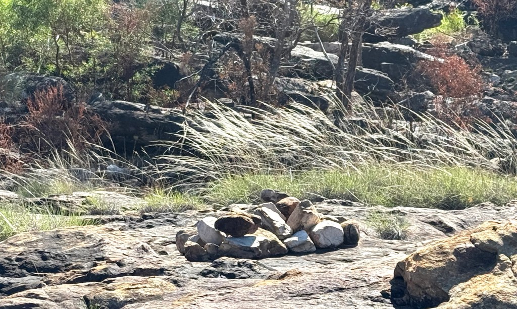
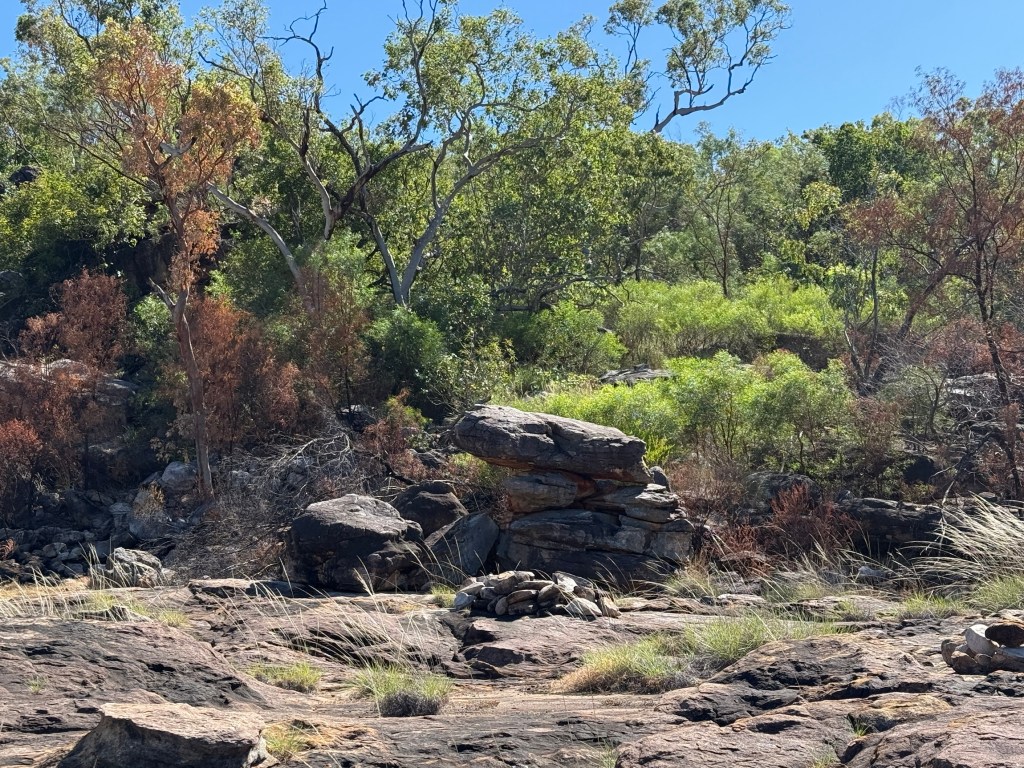
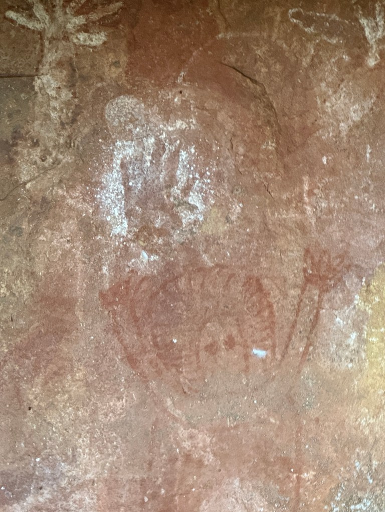
A little further we pass an Aboriginal burial area. We saw two neat piles of rocks on a broad sandstone area. Apparently, when near death an Aborigine would be laid here and covered with the rocks. According to the tradition the body fluids would seep through the rock into the deep pool at the bottom of Mitchell Falls. This is where the Rainbow Spirit creator lives. So the person returns to the ‘country’ from where they came.
Very similar to the Christian concept of “ashes to ashes, dust to dust” used in funeral services.
Behind the hill in the photo is a current day traditional burial area, not accessible without consent.
The descent on the track from the top of the Falls to the pool beneath is a little arduous, up and down a few rocks with trees to help out with the leverage to get up. The pilot, who also doubles as the guide, lends a welcome hand from time to time to the less nimble.

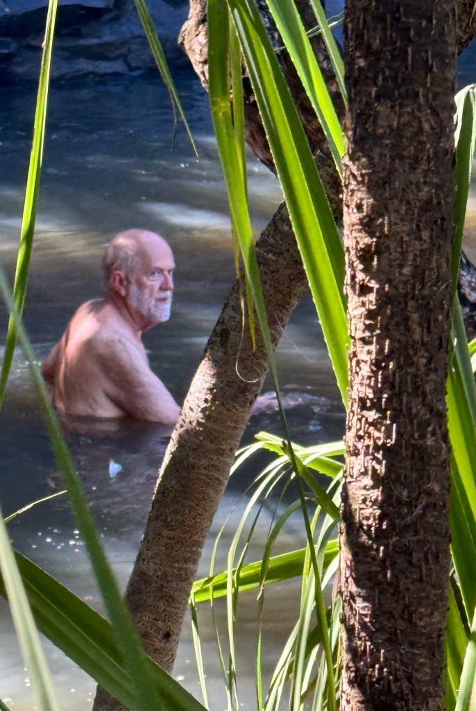
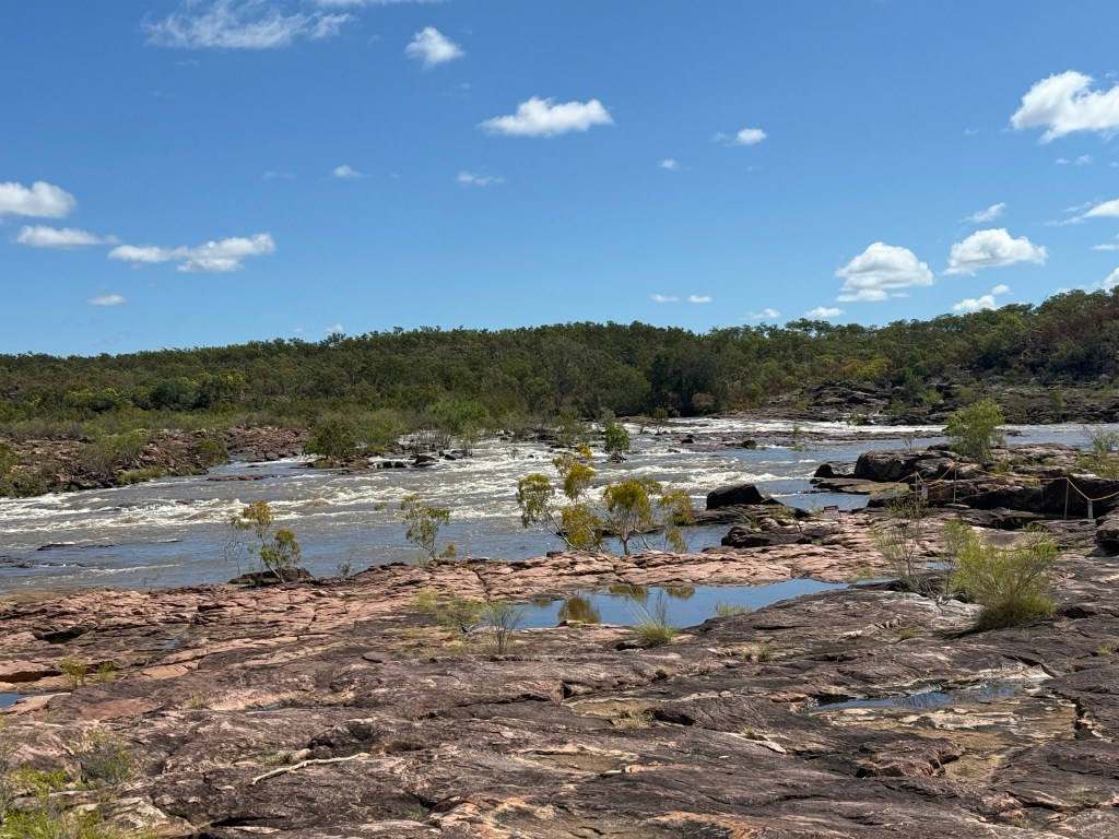
At the bottom the view of the water coming over the top into the pool is special. The swim is refreshing. There are no salty crocs in here, maybe freshies but none were seen.
The area around the lower pool was a place that the indigenous people inhabited for thousands of years. Perhaps not continuously as they moved around in response to changing climate and weather patterns.
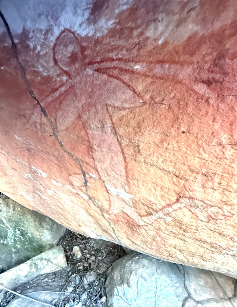
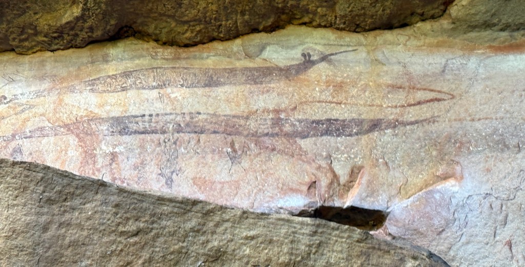
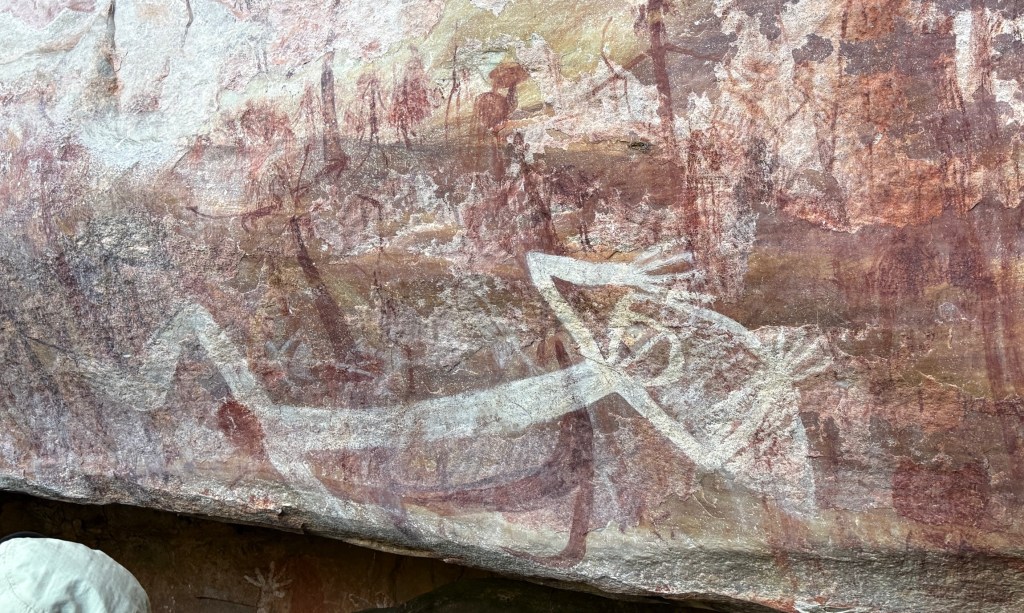
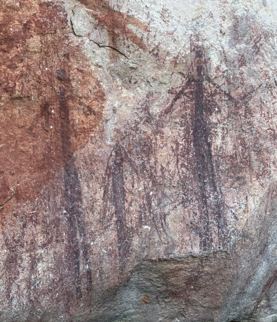
Our pilot/guide showed us around a number of sites near the pool with different ages and types of artwork, some of recent origin but others dated at thousands of years. A few examples in the photos below, I have annotated from my best recall (which might be sus) of the commentary.
We returned by the same route to the campground to get into the helicopter, it holds up to 5 including the pilot. So our group went in two trips. Homealone was very insistent on sitting in the front next to the pilot because it had a door. The seats behind had no doors but we were harnessed in securely.
It was a little unnerving when we did figure eights around the Falls so that everyone got a good view.
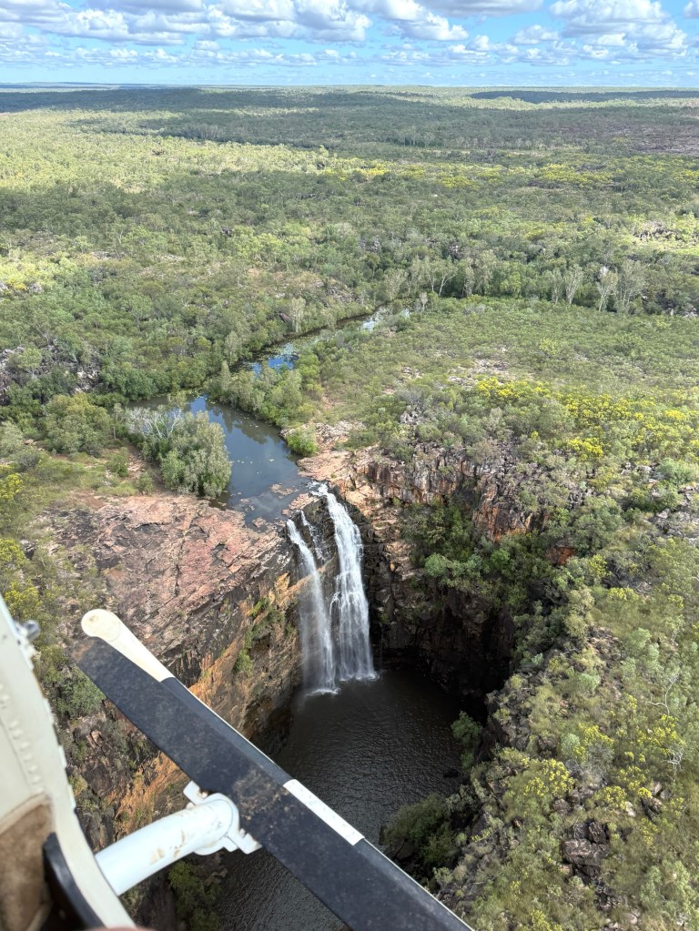
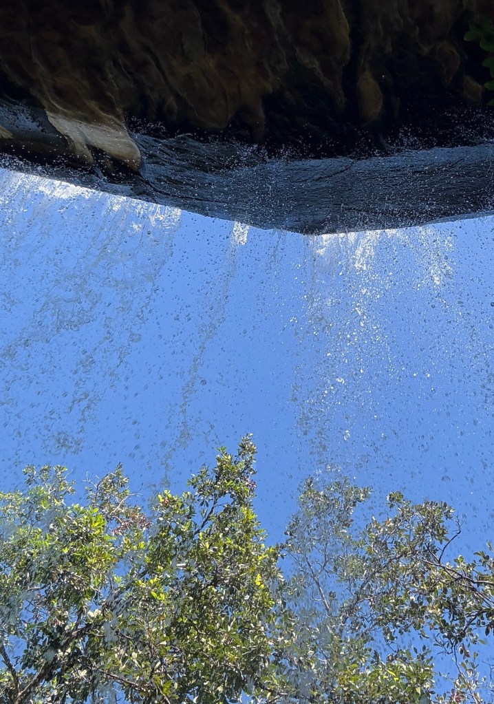
At the Falls we went off on a short walk out along the edge to get a full on frontal shot of the four waterfall levels. We were quite close to the cliff edges.
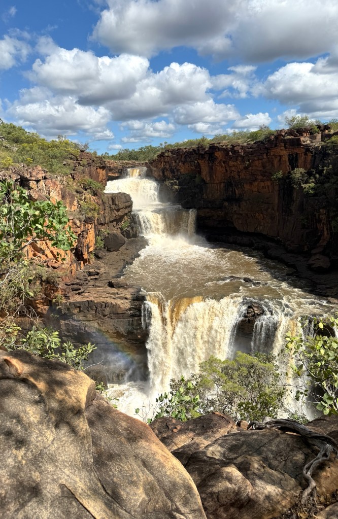
The Falls were really pumping, massive amounts of water pouring down to the river below on its journey to the sea. Nothing like the pretty postcard views or magazine pics one sees. Spectacular!
Our time was up, back in the helicopter for another figure eight around the Falls before returning to the campground. 4WD back to the airstrip and the plane flight to Ellenbrae. No dramas and a memorable day!
We now head off for Mt Elizabeth Station in the morning, 1 June the start of winter! We have the donnas out at night.
Posted on June 1, 2025, in Western Australia 2025. Bookmark the permalink. Leave a comment.

Leave a comment
Comments 0