Victoria River Country
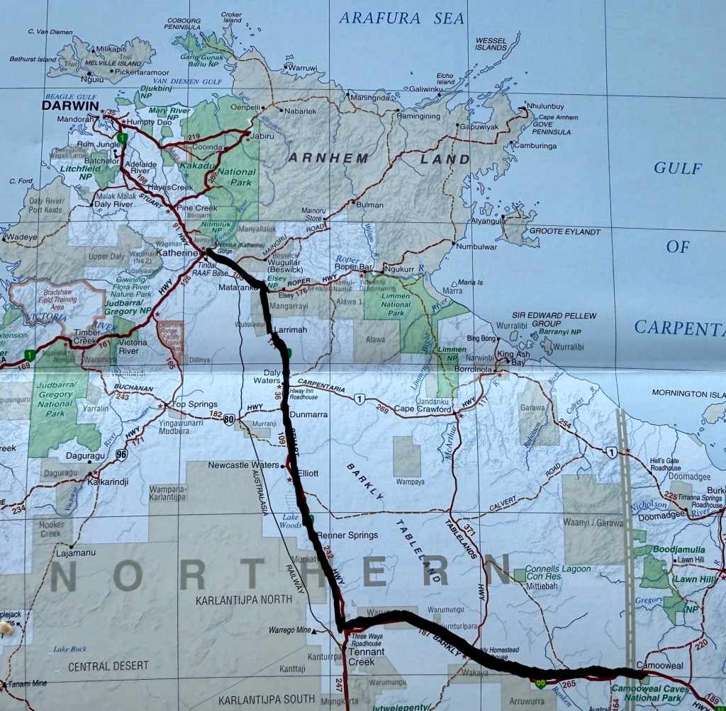
Here is map showing our journey from Camooweal along the Barkly Hwy and then up the Stuart Hwy to Katherine.
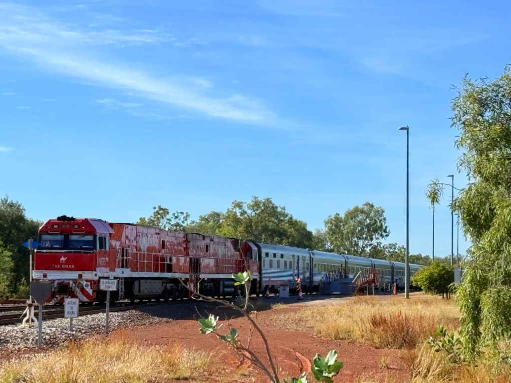
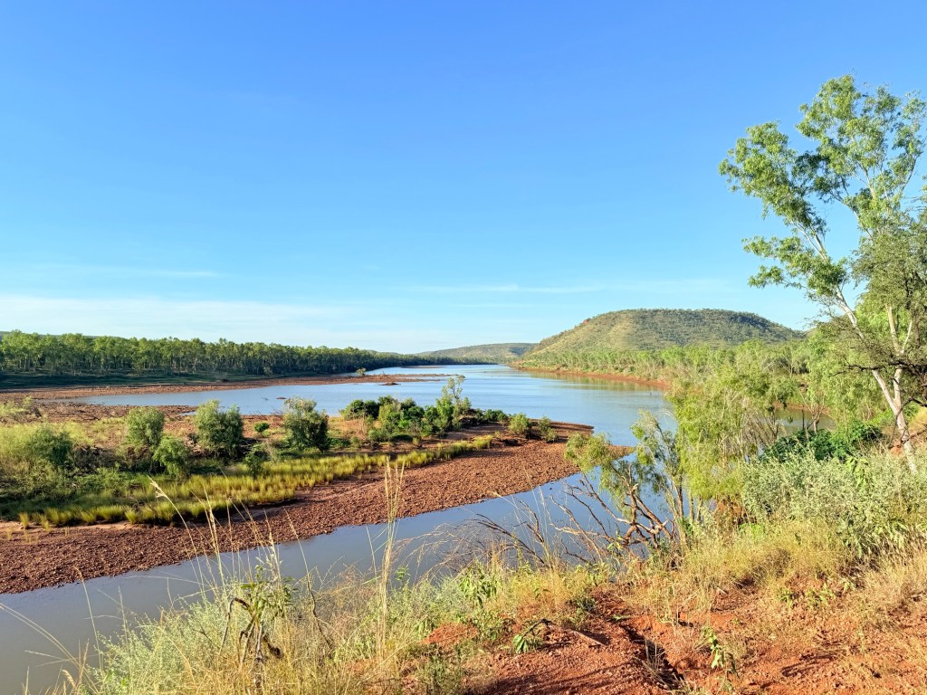
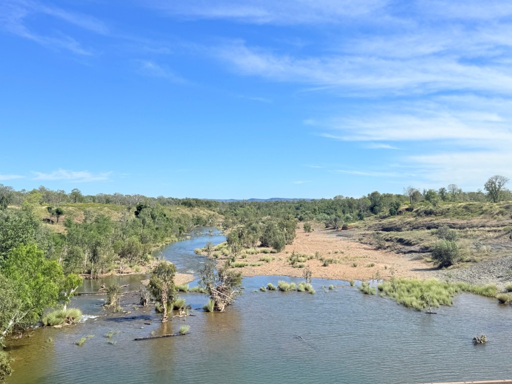
Travelling southwest from Katherine along the Victoria Hwy to Kununurra is one of Australia’s great road journeys. It traverses the flood plain of WA longest river, at least single name river ‘Victoria’. It is some 350 km long from its source somewhere behind the town of Timber Creek to the Bonaparte Gulf (just within the NT border). Outside Katherine the Ghan was making its way north to Darwin, couldn’t resist a picture stop.
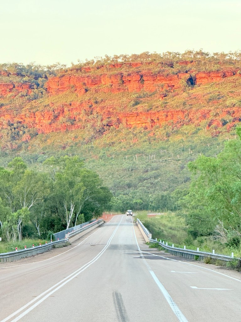
The road ahead is fairly flat with some up snd down bits, a typical wet tropical savannah landscape.
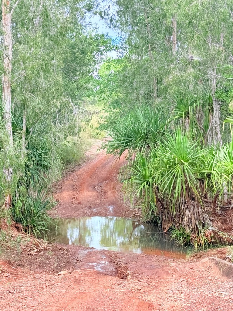
About 100km from Kununurra we diverted from the hwy on a gravel road to the Flora River NP. Travel guides had promised some great river scenery to justify the 90 km there and back of gravel and dust.
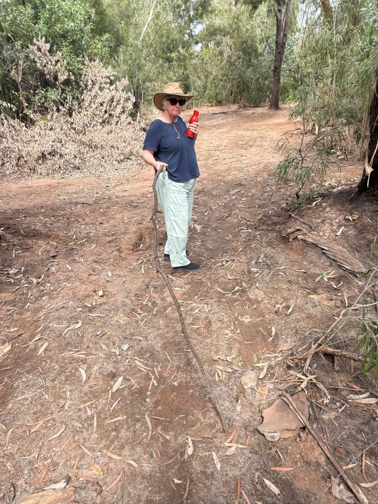
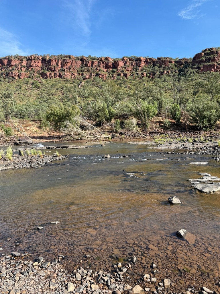
The river has a couple of tufa rock waterfalls across it a short walk from the camp site which is a couple of hundred metres (croc safe) back from the river. Tufa is a soft porous limestone rock often impregnated with partially decomposed vegetation. The view though was hampered by river bank vegetation so a bit disappointing!
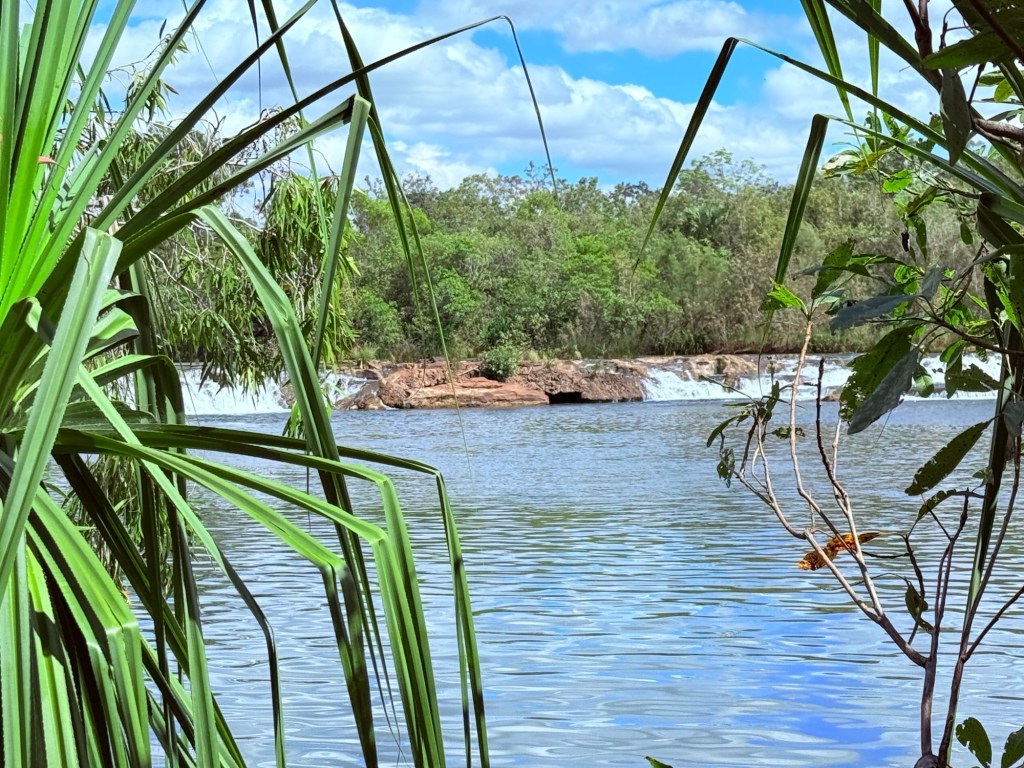
A chain saw would be useful to improve the scene! We wandered around a bit in the scrub trying to get a good view, being careful of crocs.
Returning to the hwy we had a stopover at the Victoria River Roadhouse for the night. The Roadhouse is high above the River now but back in Jan 2024 the river and its floodwaters lapped at its doorstep and swept the road bridge away.
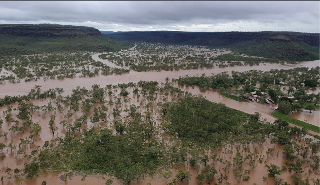
An enormous amount of water spread across the landscape. An enormous diesel price too for these parts $2.35.
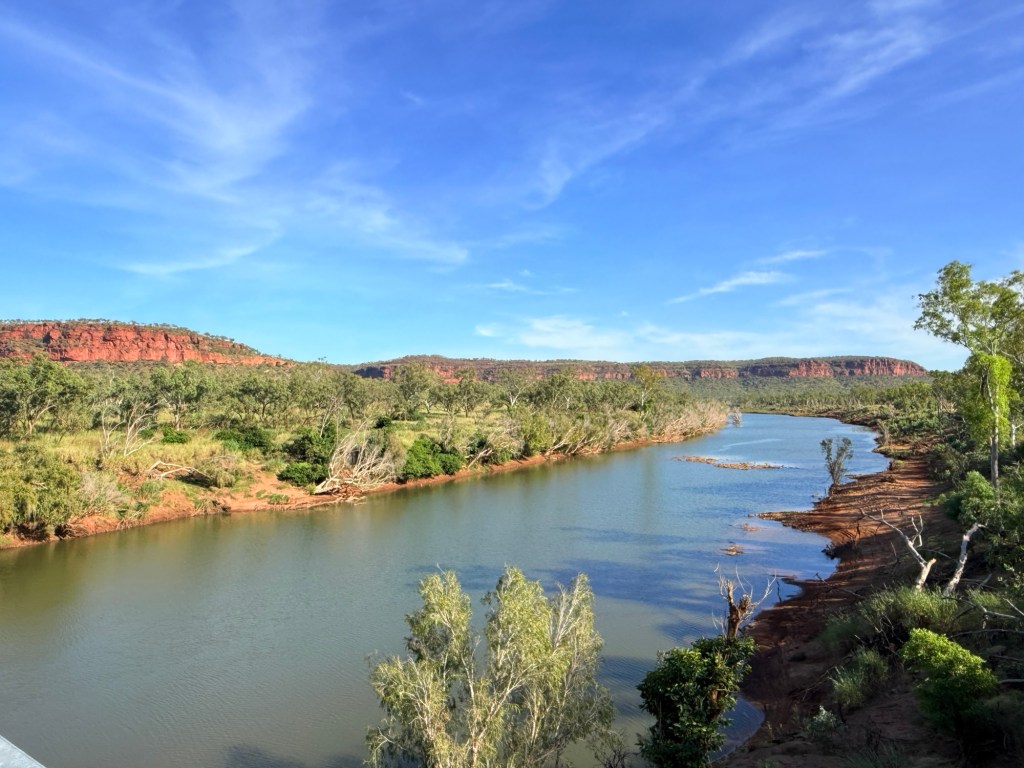
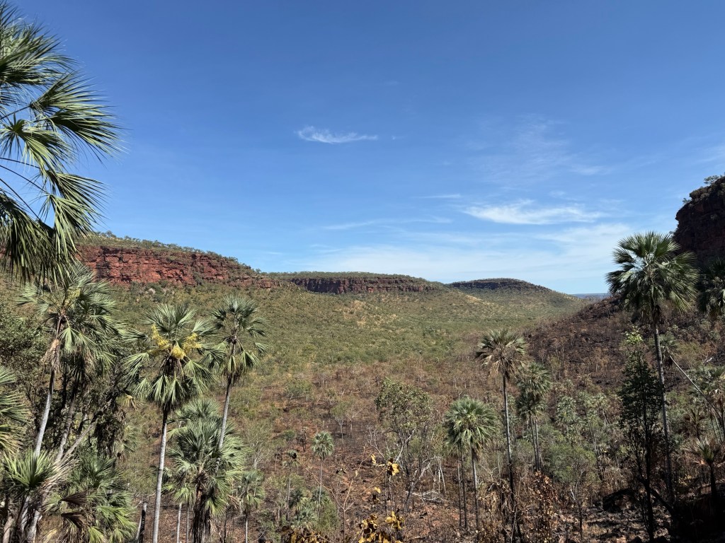
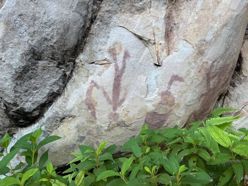
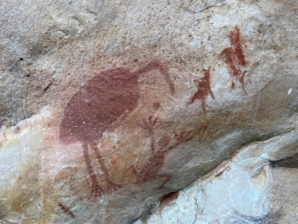
From the Roadhouse we did a bit of exploring , tripping down to the 1800s Old Victoria River Crossing and then out for Allthego to do a ‘ short walk’ at the Joes Creek day use area. It is a short 1.7 km (90 min) up a steep slope, along the base of the escarpment, then a scramble down to Joes Creek and the walk back to the carpark. Some great views of the valley from the escarpment and sightings of aboriginal art galleries on its walls.
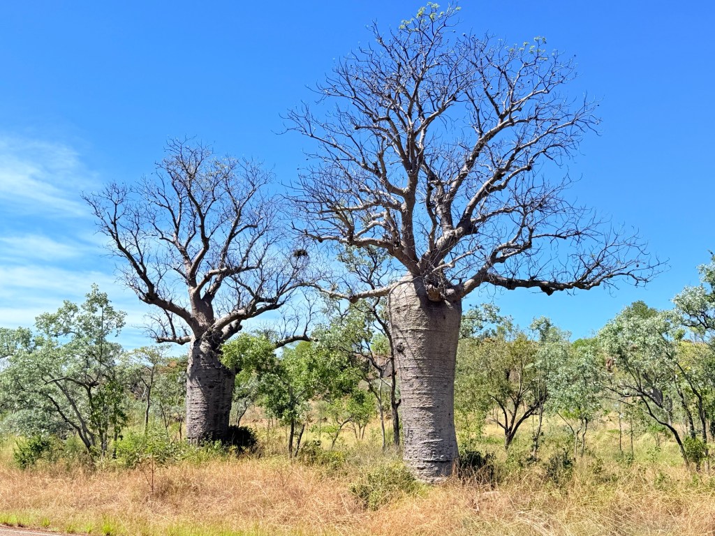
A further 90km along the hwy we stopped for the night at Timber Creek. The Timber Creek area has an abundance of boab trees. All shapes and sizes. The van park has a very big one in its grounds, impressive sight.
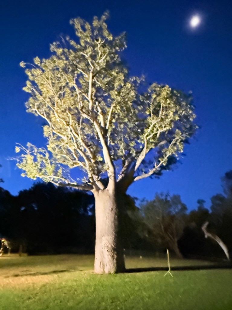
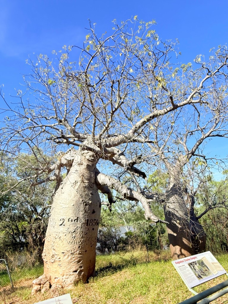
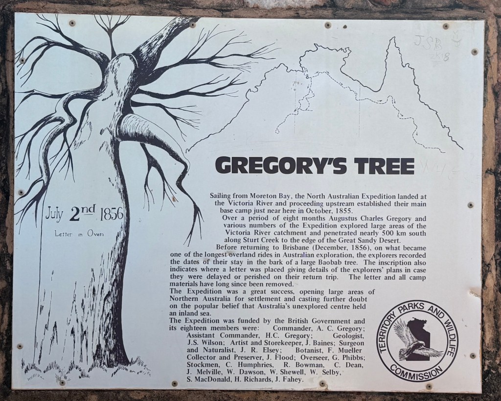
The Victoria River dominants the landscape here as well. One of the attractions, about 5 km off the hwy down a dirt track, is an old boab tree beside the river bearing the carved date 2 July 1856. It is known as Gregory’s Tree and is the spot where he camped while exploring these parts.
Moving on from Timber Creek we made our way away from the Victoria River towards Kununurra, through more boab country and into Ord River country.
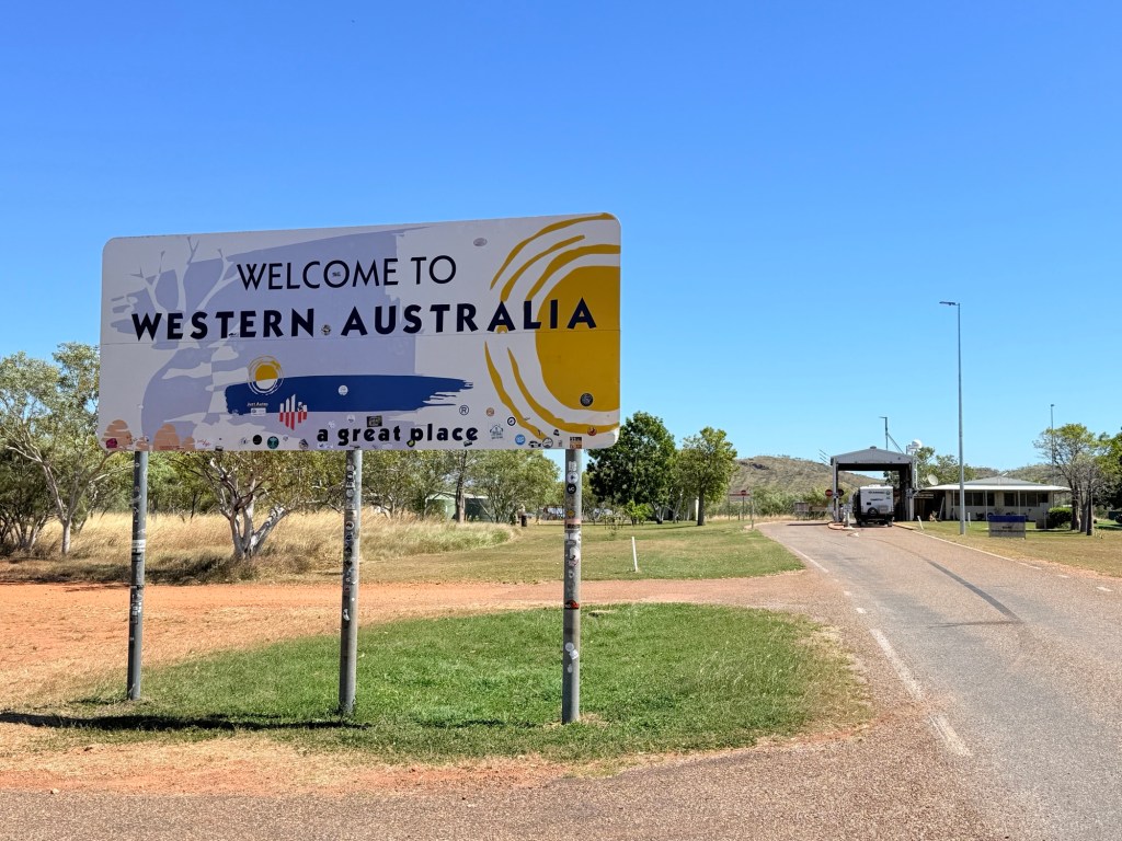
We have made it into WA about 50 km to Kununurra. Dutifully surrendered two peeled potatoes and a handful of lettuce leaves at the border. Onto Kununurra!
Posted on May 11, 2025, in Western Australia 2025. Bookmark the permalink. Leave a comment.

Leave a comment
Comments 0