Cowra to the source
It’s generally cold in Cowra in May and it is no exception in our time here. Days are nice and sunny but bed socks are good at night. We have paused here for a couple of nights to do some washing.
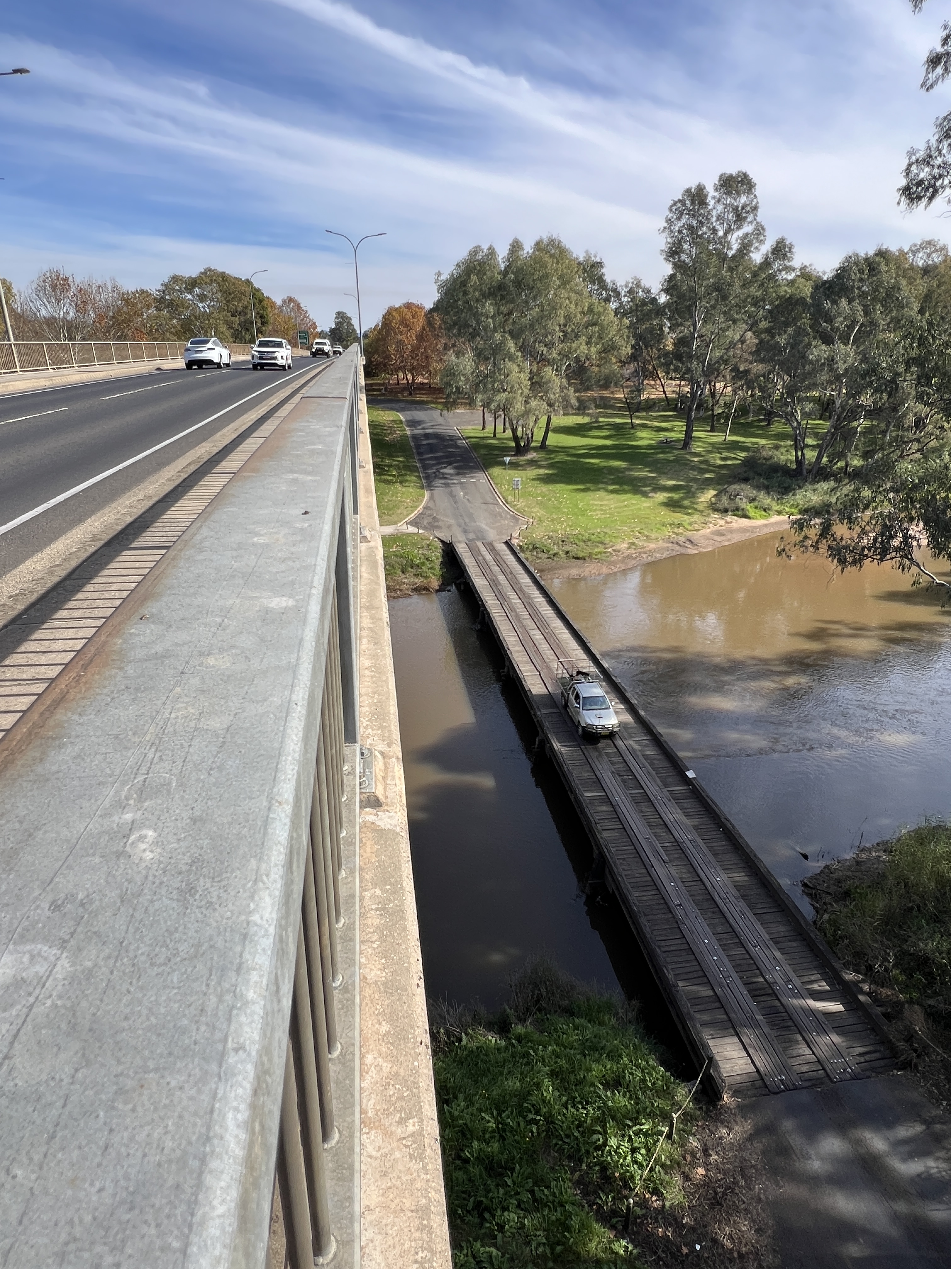
The van park is situated just down from the major high level bridge over the river. The old low level one lane bridge is down below, a few feet above the river. It must be a short cut to somewhere because it is in constant use.
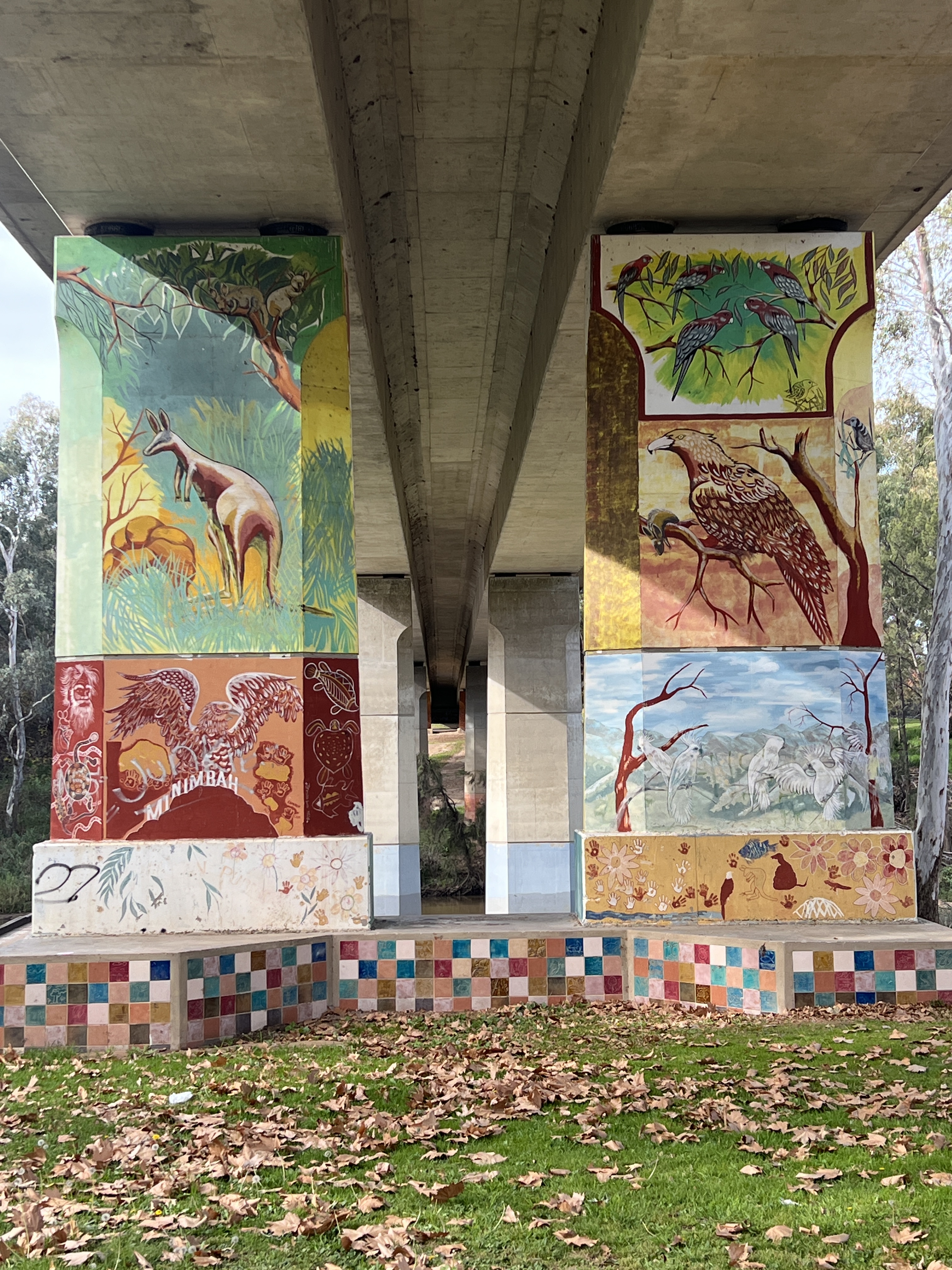
The piers of the high level bridge are covered with murals of an indigenous flavour. Quite impressive art works.
There are quite a things to do around these parts but Allthego and Homealone are really focussed on the Lachlan River. So we head off up to Wyangala Dam. This dam holds back the river’s waters and controls water supply to towns and irrigation along the way we have come over the past couple of days.
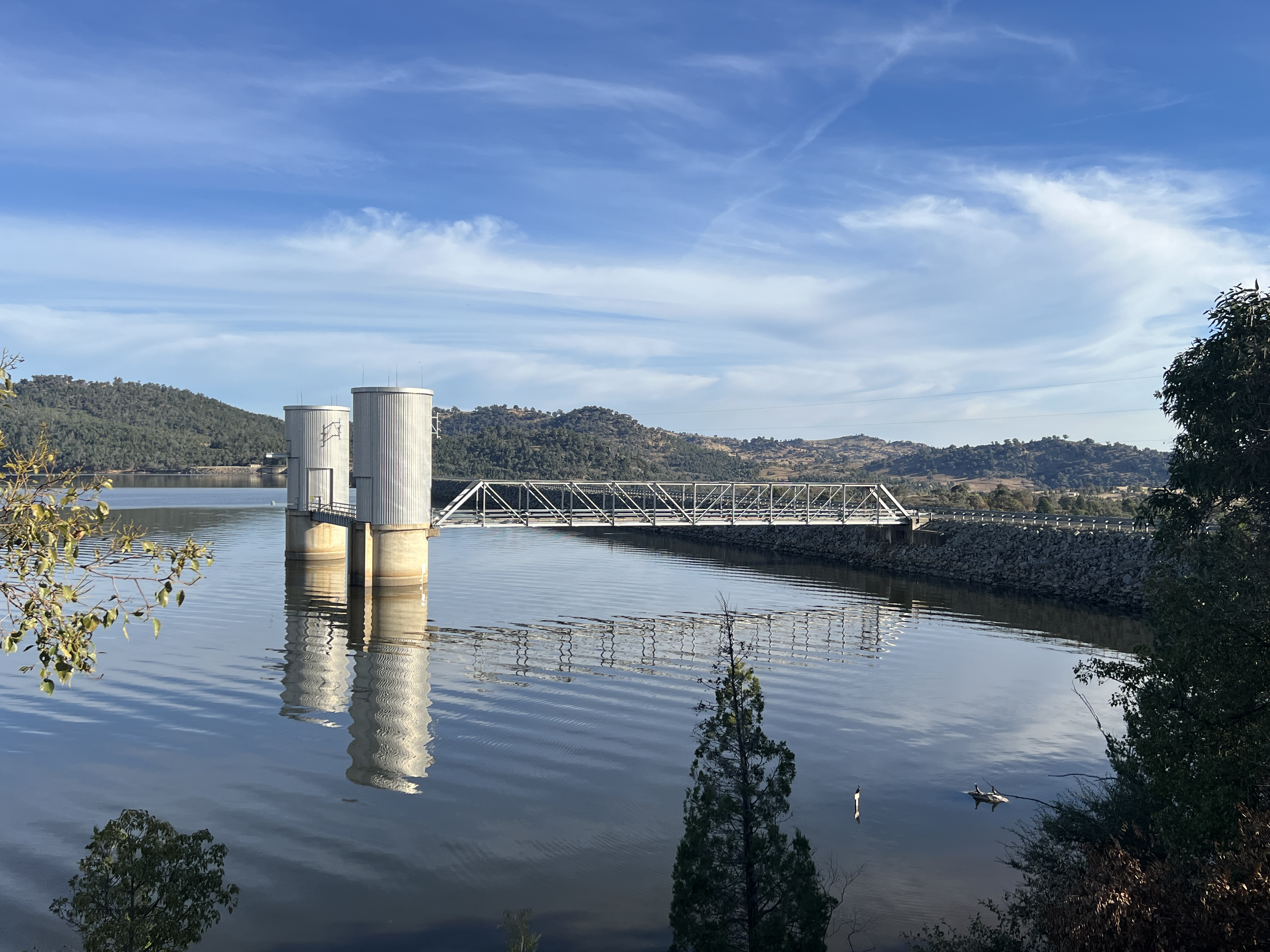
ala DamIt is a great drive through the countryside to get there, past a couple of river crossings.
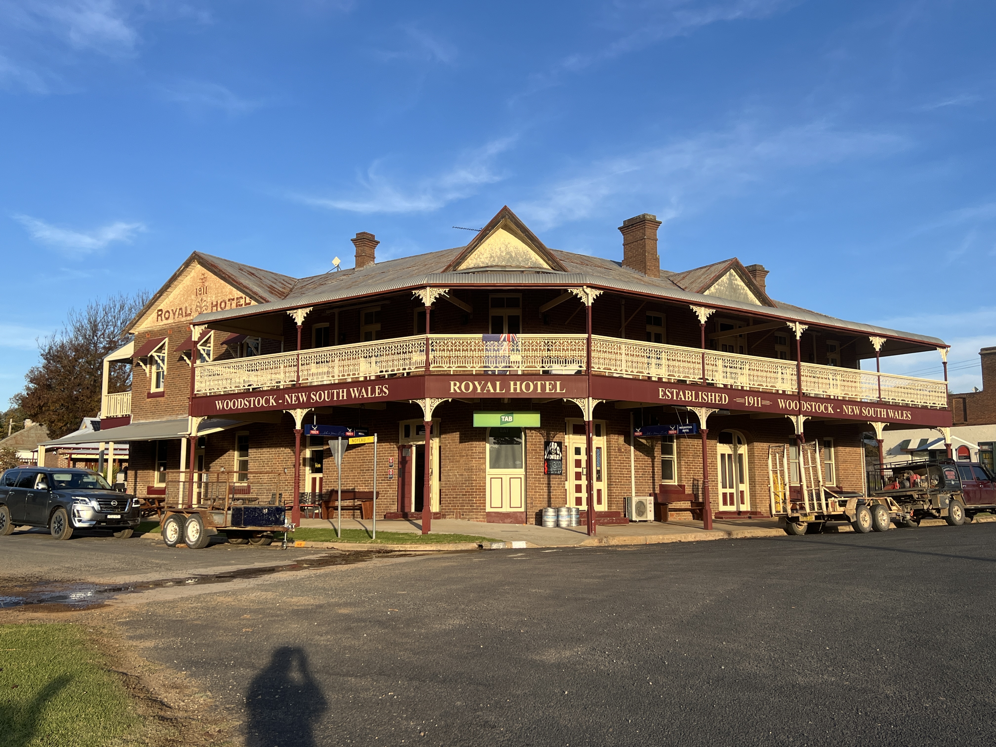
On the way back we do a loop road via Woodstock, an old railway town. The trains have long gone but there is a great old pub looking down the street, the railway station is a bit sad among the weeds and overgrown track.
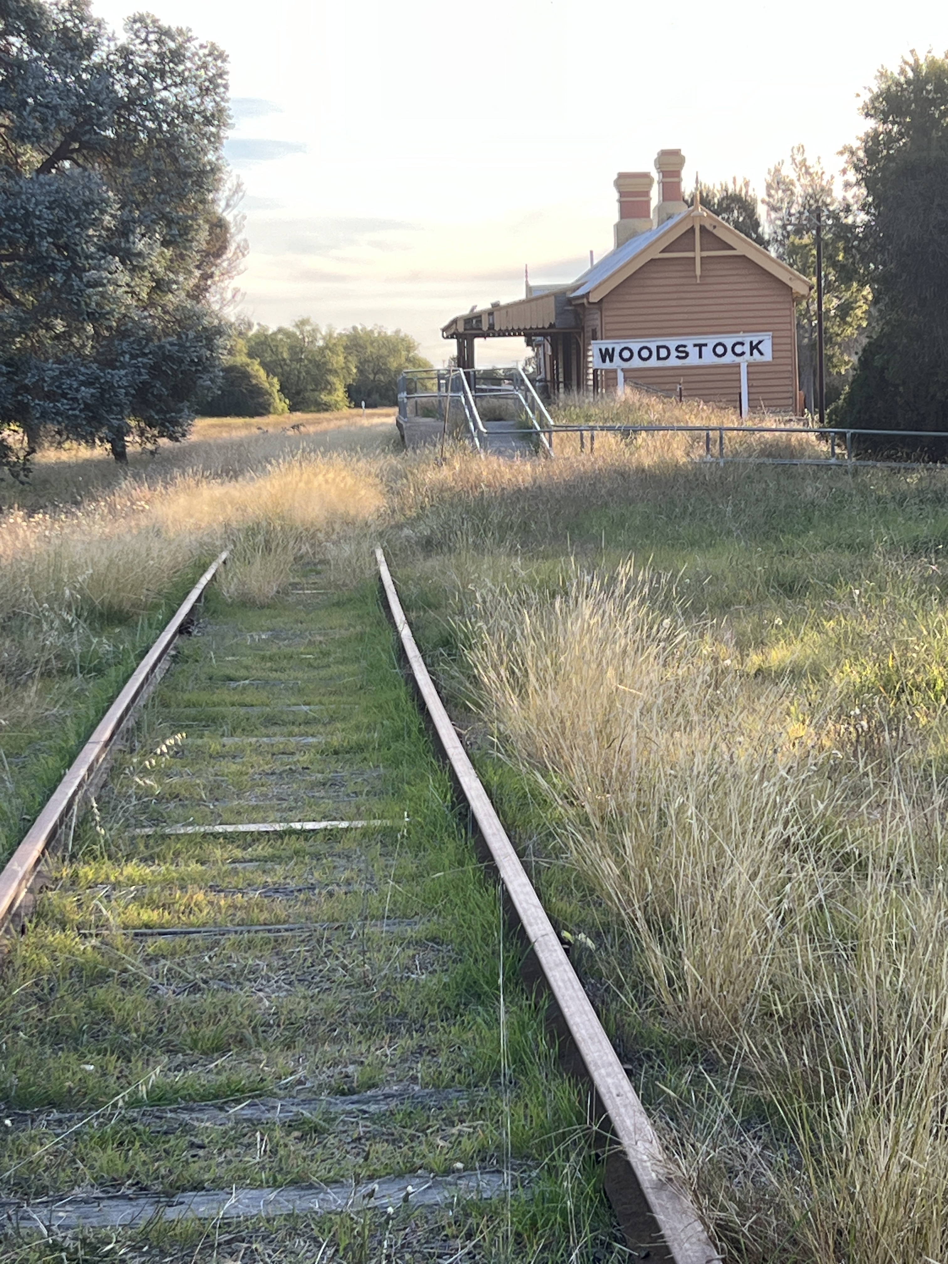
There was a big train prang here in 1919 when an out of control freight train with 40 carriages full of coal smashed into an embankment at the Woodstock train station. Very big mess of twisted carriages, there were no injuries.
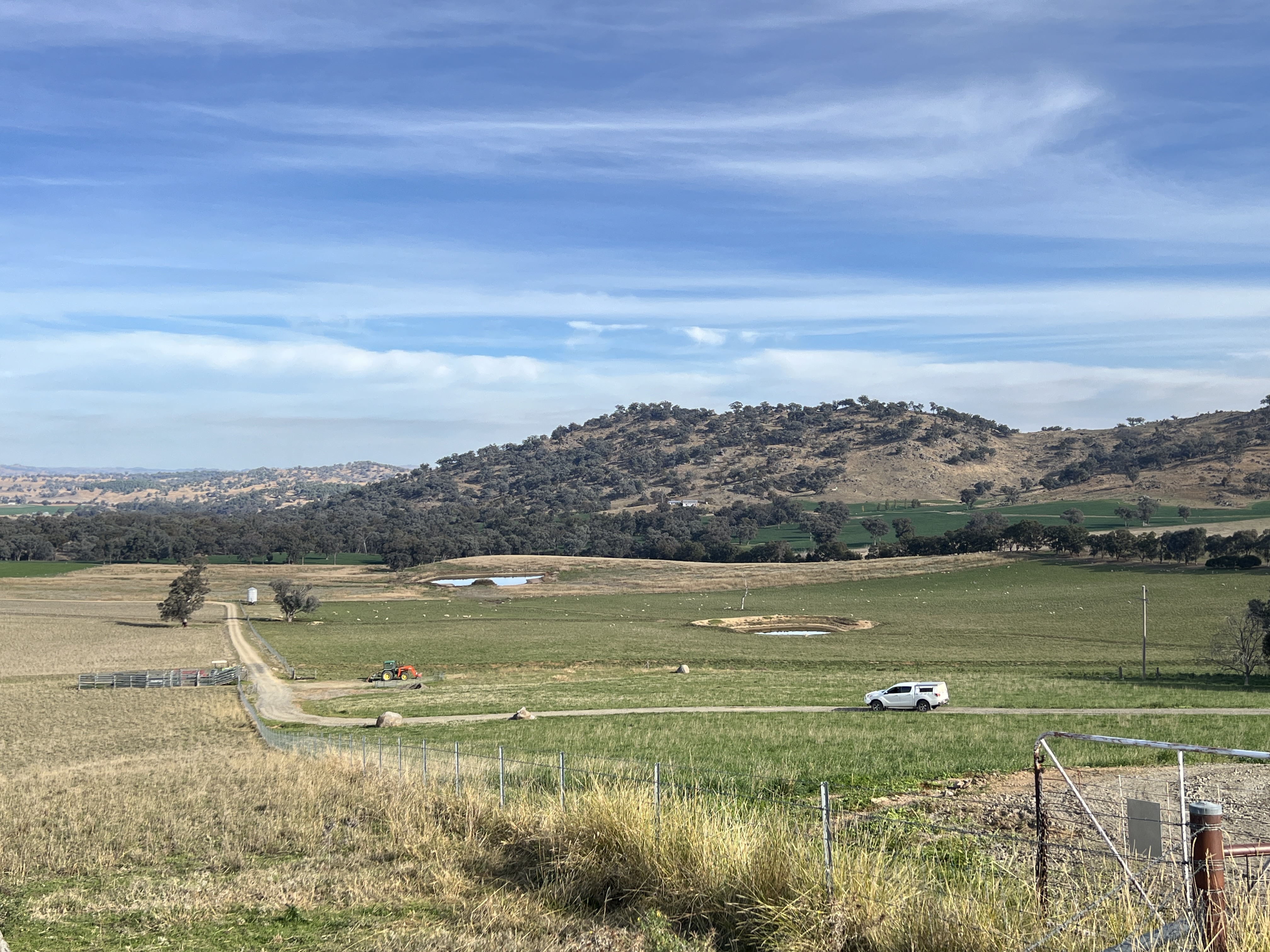
The next step in this journey is to try to follow the river back upstream from the dam. This has proved to be difficult with the van in tow because the backroad has been flood damaged and was not recommended by the Cowra Information Centre people.
This means that we get to our next stopover at Gunning by way of the Hume Hwy and miss a section of the river. Gunning is a couple of km off the Hume and about 50km from Goulburn. The search starts.
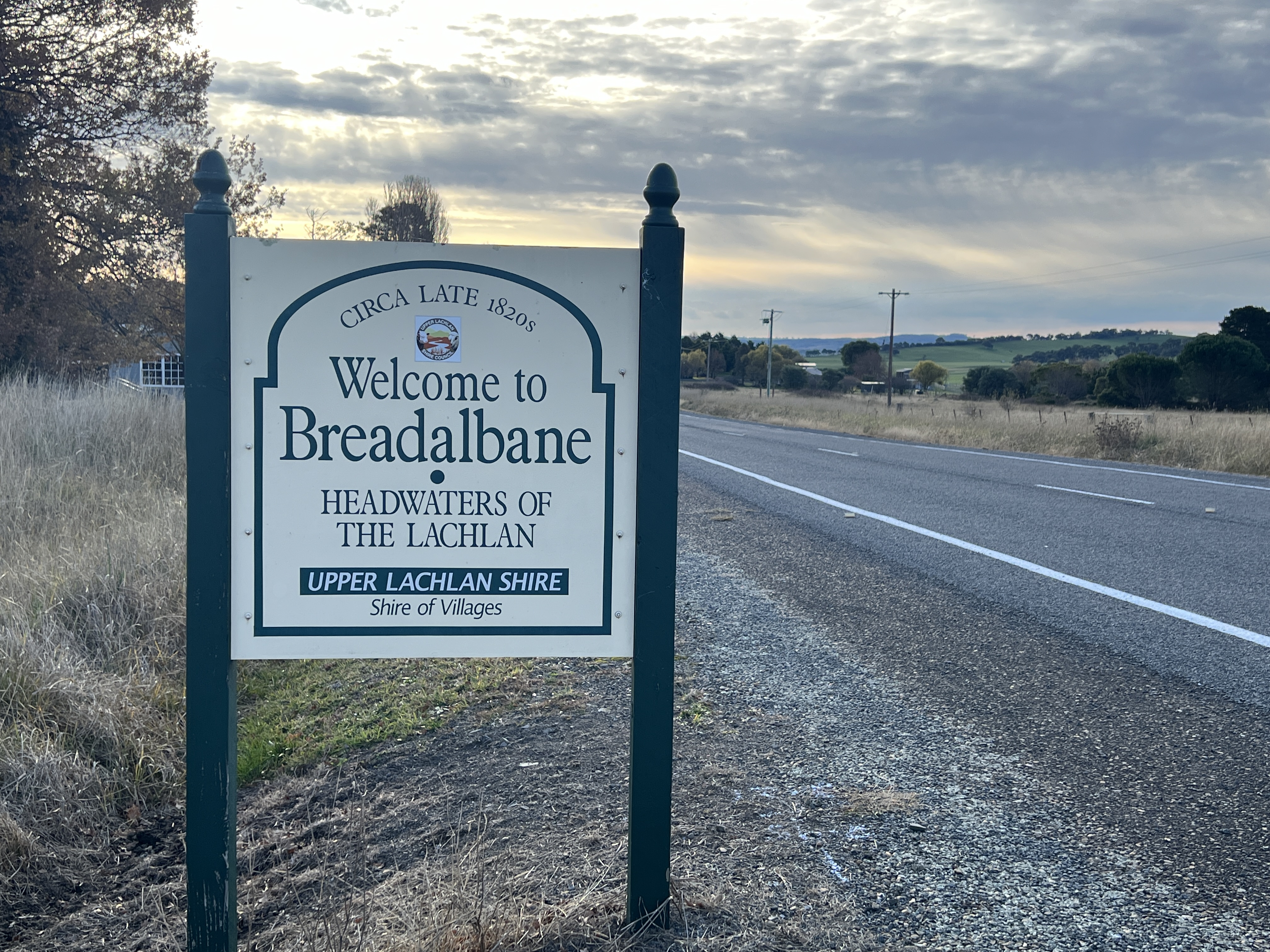
Our trusty river guidebook gets us to a hill not far from a blip on the map called Breadalbane, which claims to be the ‘headwaters of the Lachlan’.
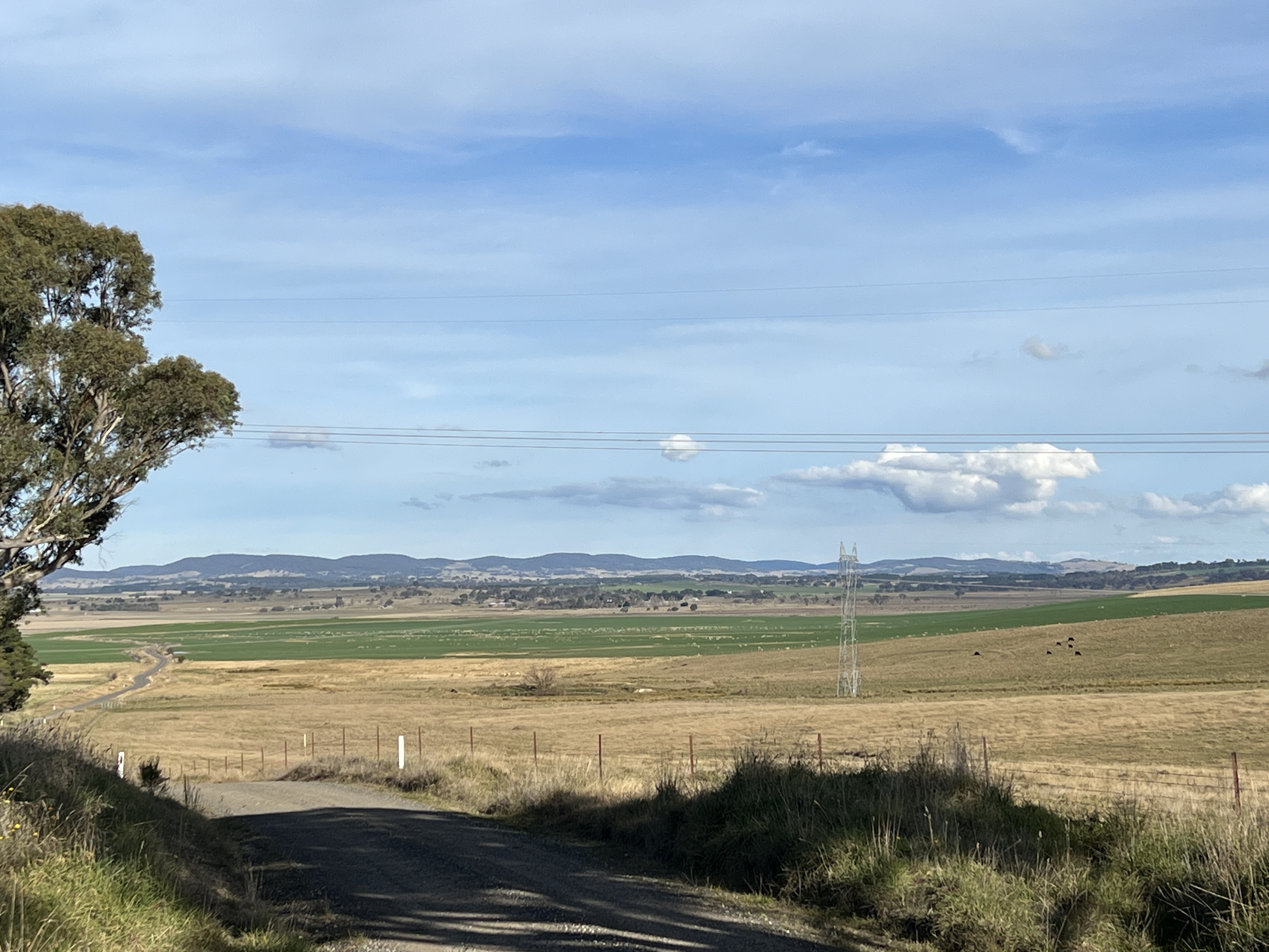
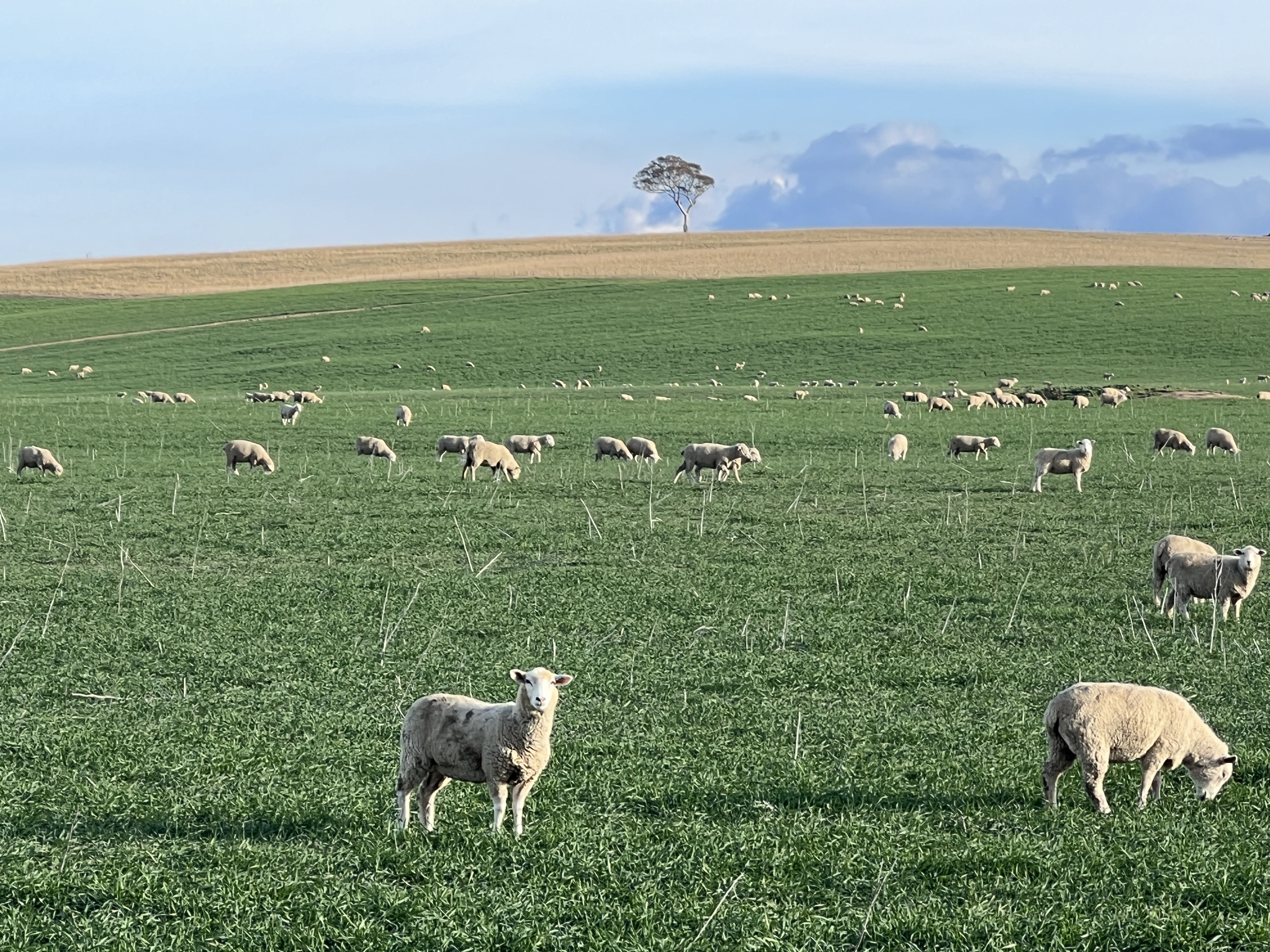
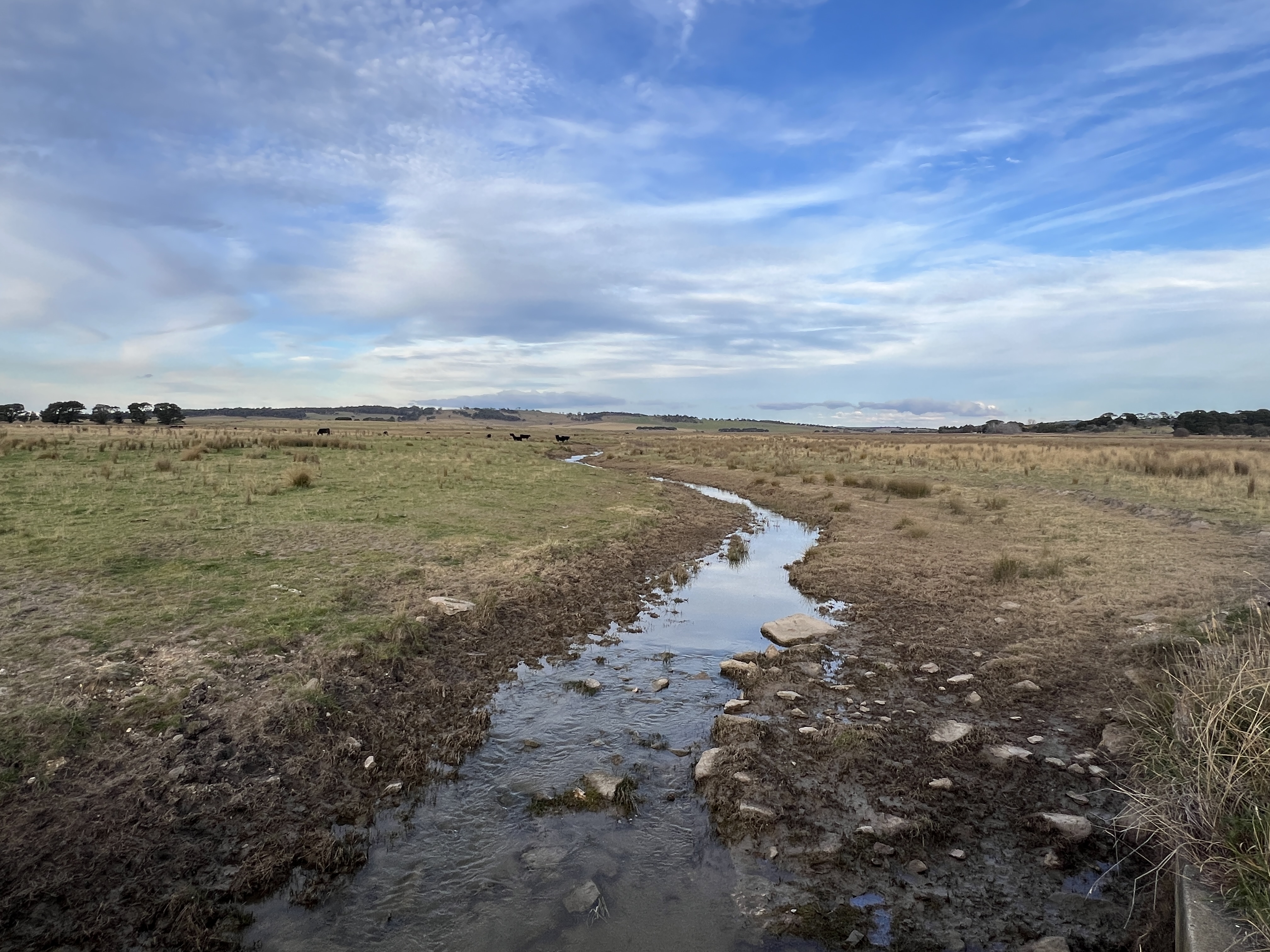
From the hill top there is view over a flattish valley with a patchwork of farmland. Some obviously green from irrigation. We take a closer look by driving on down the hill onto the plain. Sure enough we soon find ourself amongst some very marshy land, with little rivulets here and there, puddles of water among very soggy reeds and grasses.
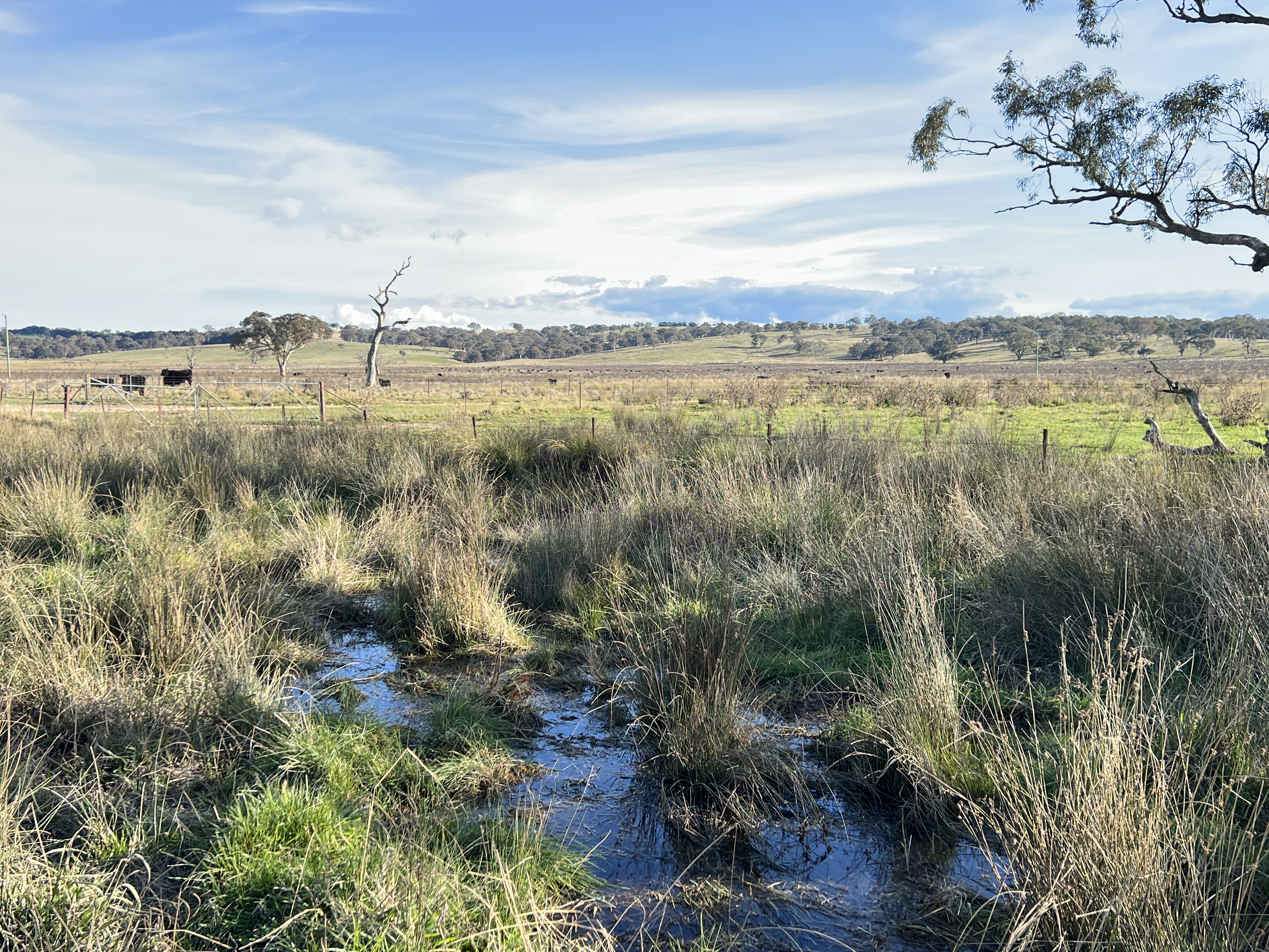
The source of the Lachlan is here where an aquifer surfaces and feeds the river.
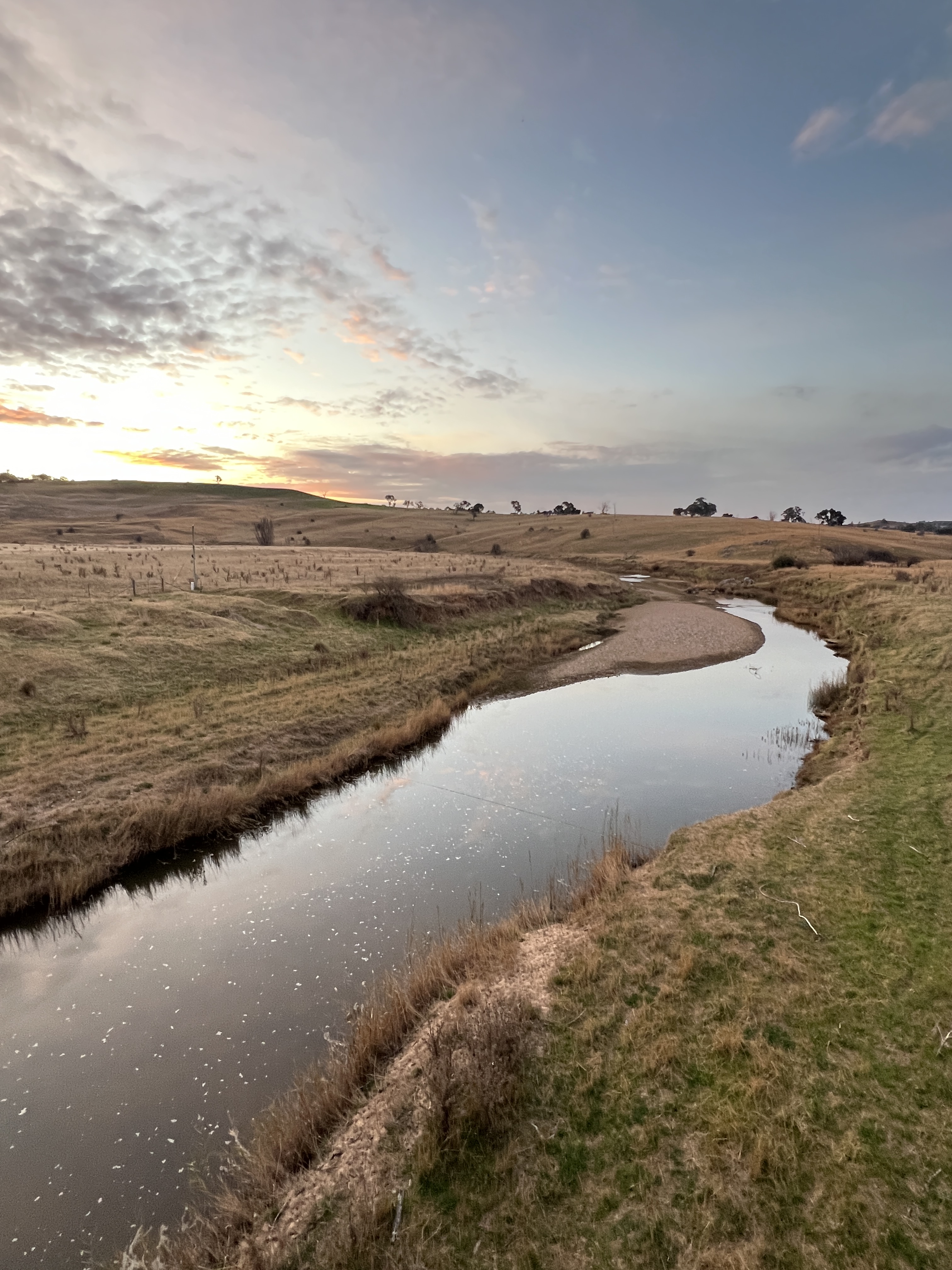
We backtrack to Breadalbane and then follow the guidebook to a few crossings of the river.
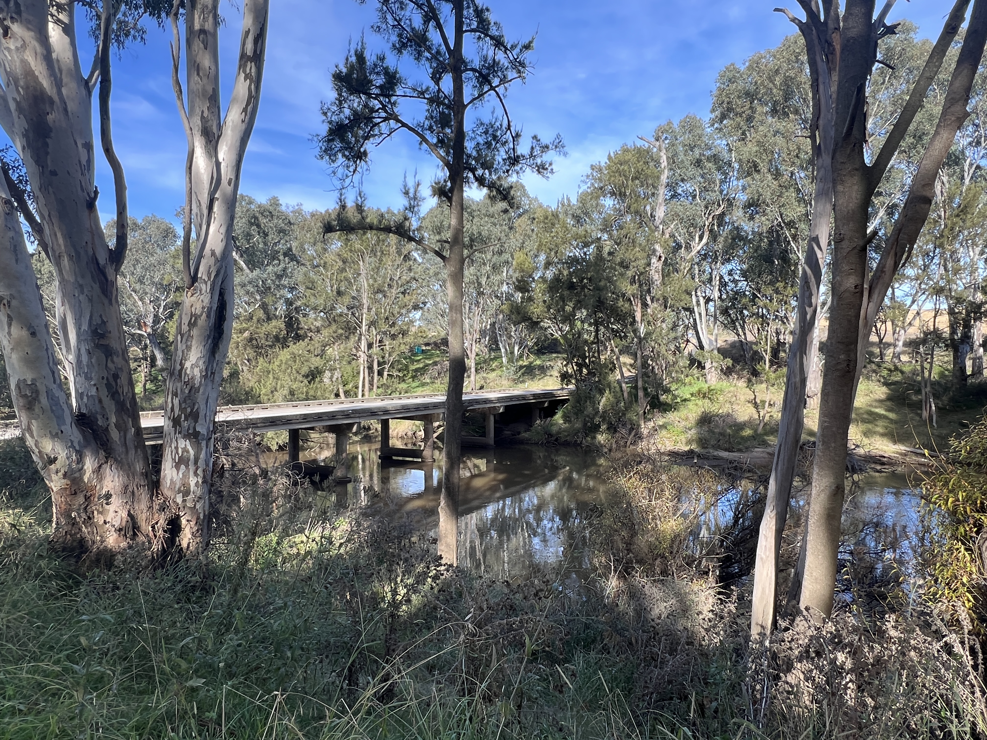
In its first few kms it is known as Hannans Creek, before taking the name Lachlan. As the sun sets we get a last look at the river proper from the first high level bridge crossing, Inglewood Bridge.
The river meanders off to Wyangala Dam and eventually Oxley about 1450 river kilometres away down near the Murrumbidgee.
Mission accomplished! Time to head for Brisbane.
Posted on June 1, 2024, in Murrumbidgee Run 2024. Bookmark the permalink. Leave a comment.

Leave a comment
Comments 0