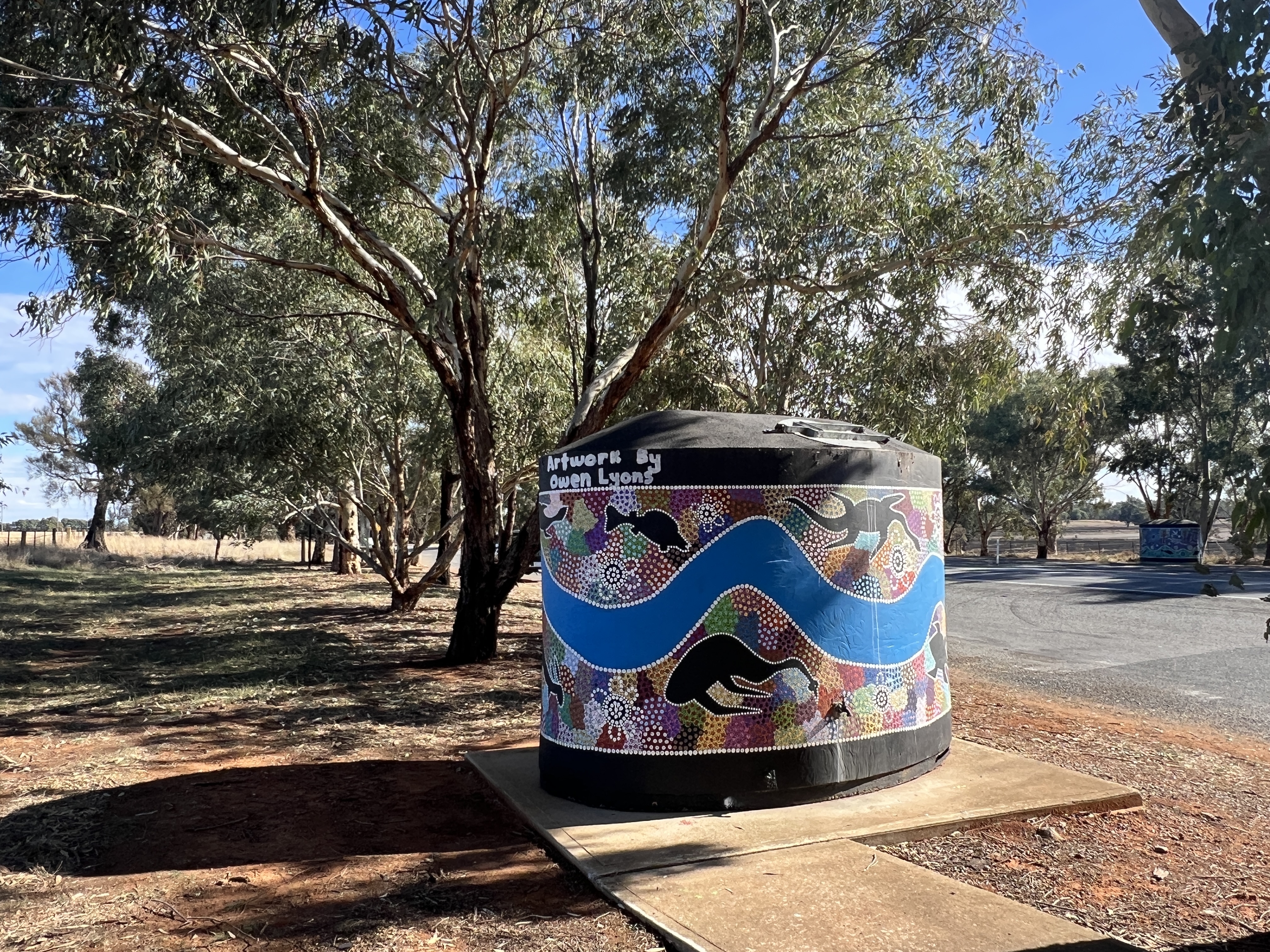
Place of the lizard
We have moved onto Narrandera, having come along the Sturt Hwy from Wagga Wagga.
Narrandera is derived from a Wiradjuri word meaning ‘the place of the lizard (goanna)’. We didn’t see any. The town is also the gateway to the Murrumbidgee Irrigation Scheme (MIA).
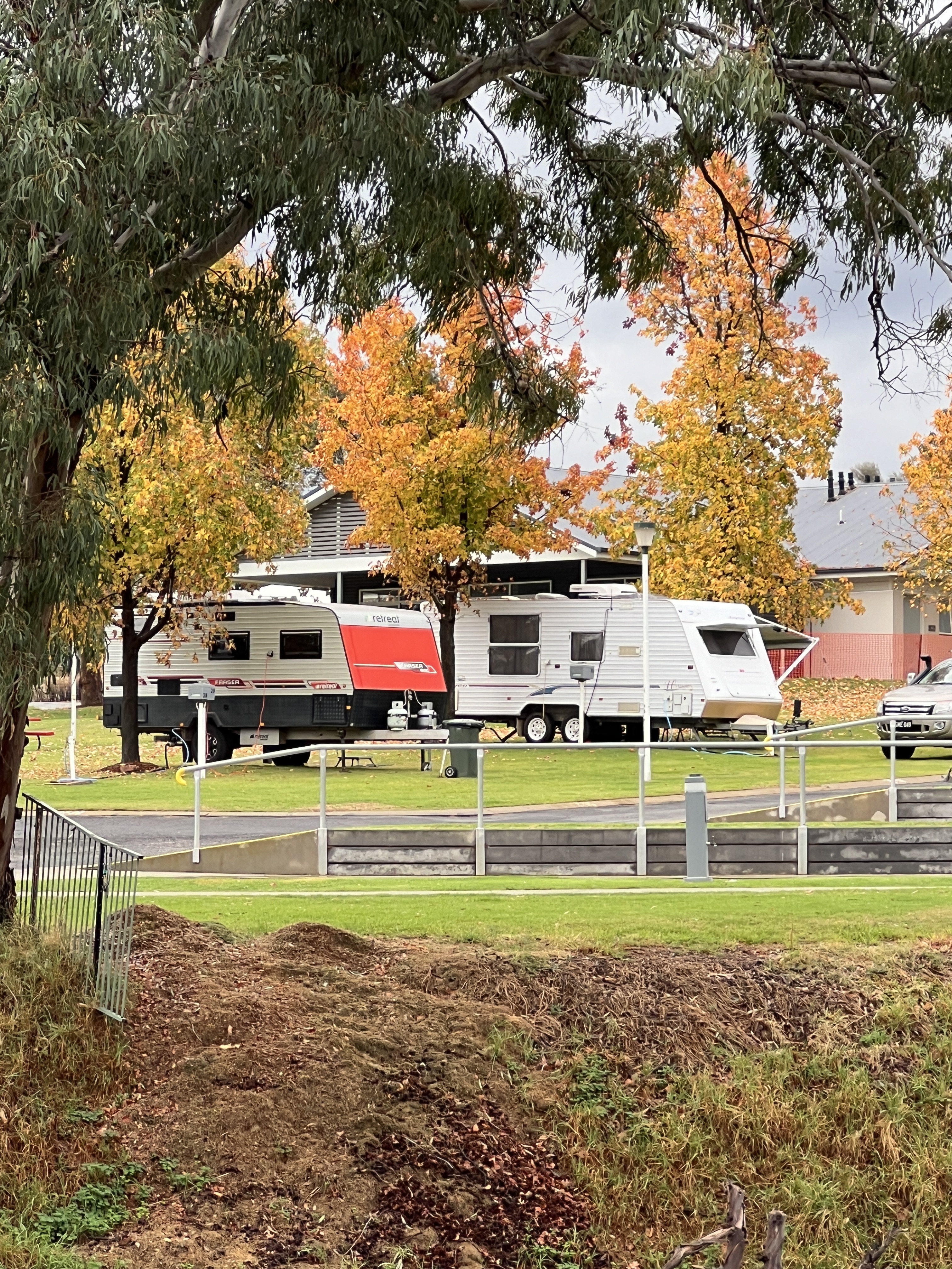
We arrived in town and settled into the Lake Talbot Tourist Park which overlooks the lake. The weather has turned on us and the clear blue skies have gone, cloud and a fair bit of rain has fallen in the region. We seem to have dodged the down pours, just catching some light overnight showers.
Narrandera is located on the Murrumbidgee, which flows around the edge of the town on its way to Hay, and the junction of the Sturt and Newell Hwys.
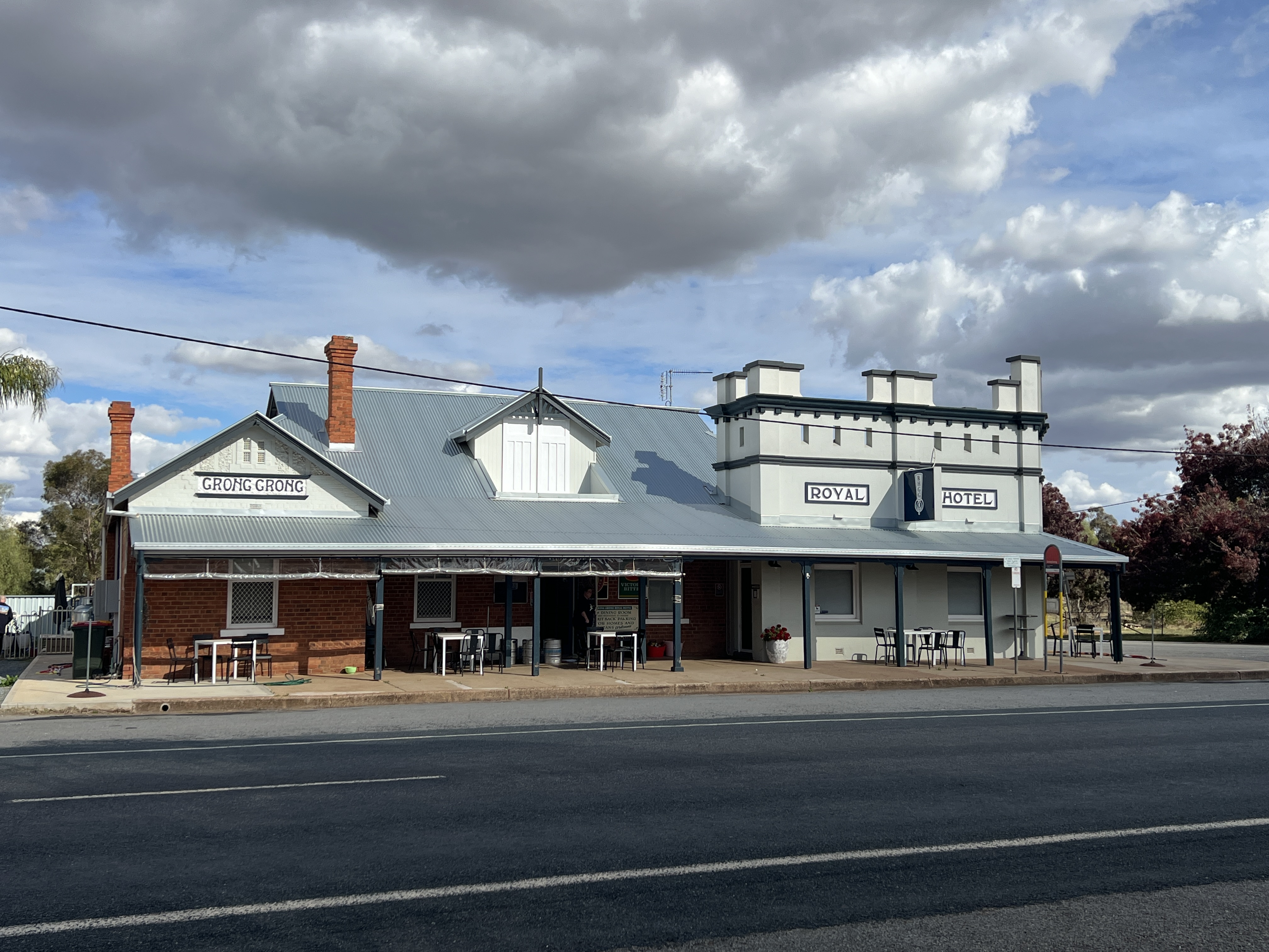
After settling in we set off to Grong Grong along the Newell Hwy (the road to Brisbane), about 20 kms. At Grong Grong there is we understand the Royal Hotel, an 1880s pub that has been saved by the locals and done up, nomads can free camp overnight out the back and have a great meal. We thought we would catch a counter meal for lunch. Alas it doesn’t open till 2pm and only does dinners, it did look a good place to stay though sometime in the future. There are 150 people in Grong Grong. We remained peckish.
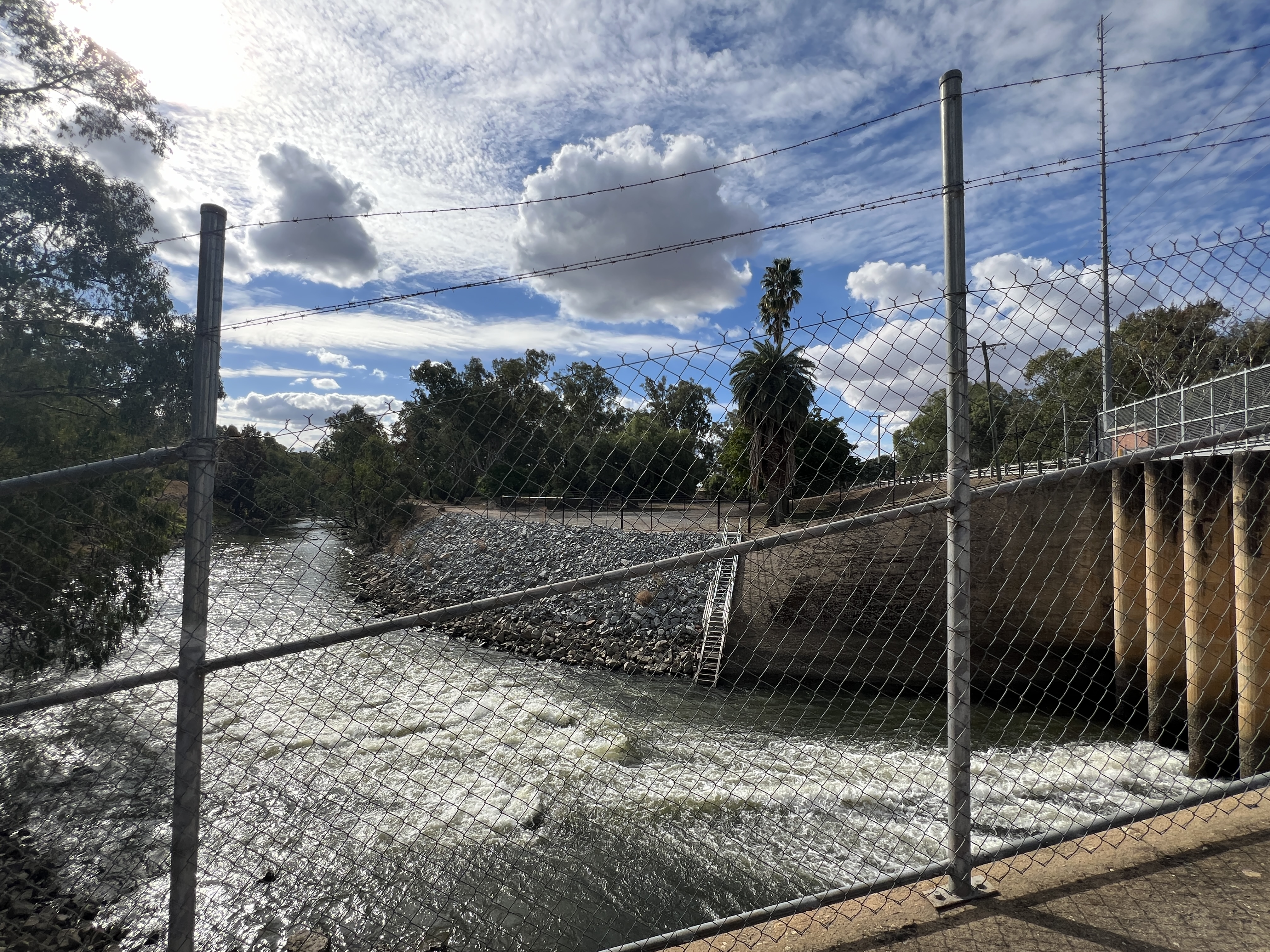
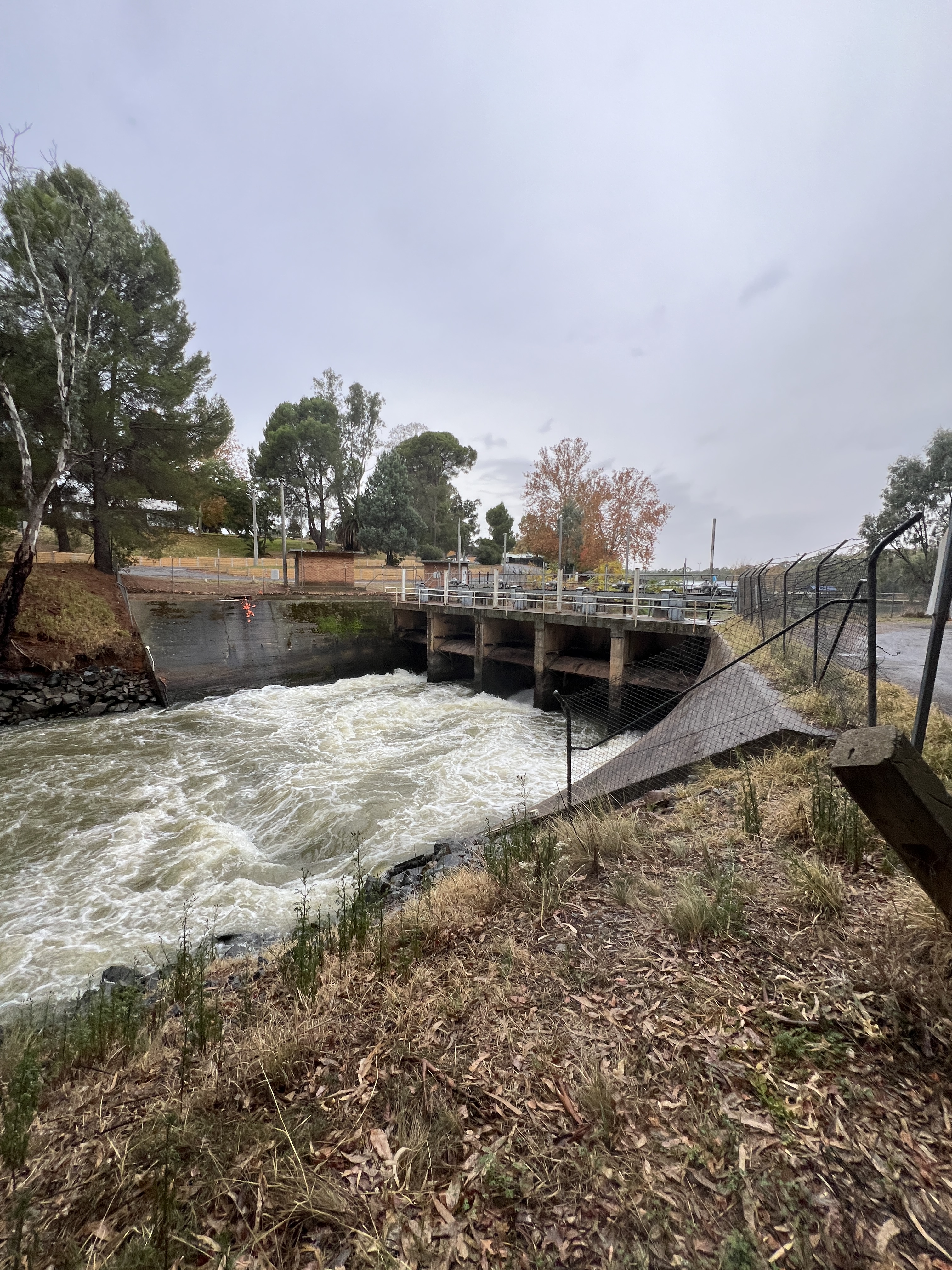
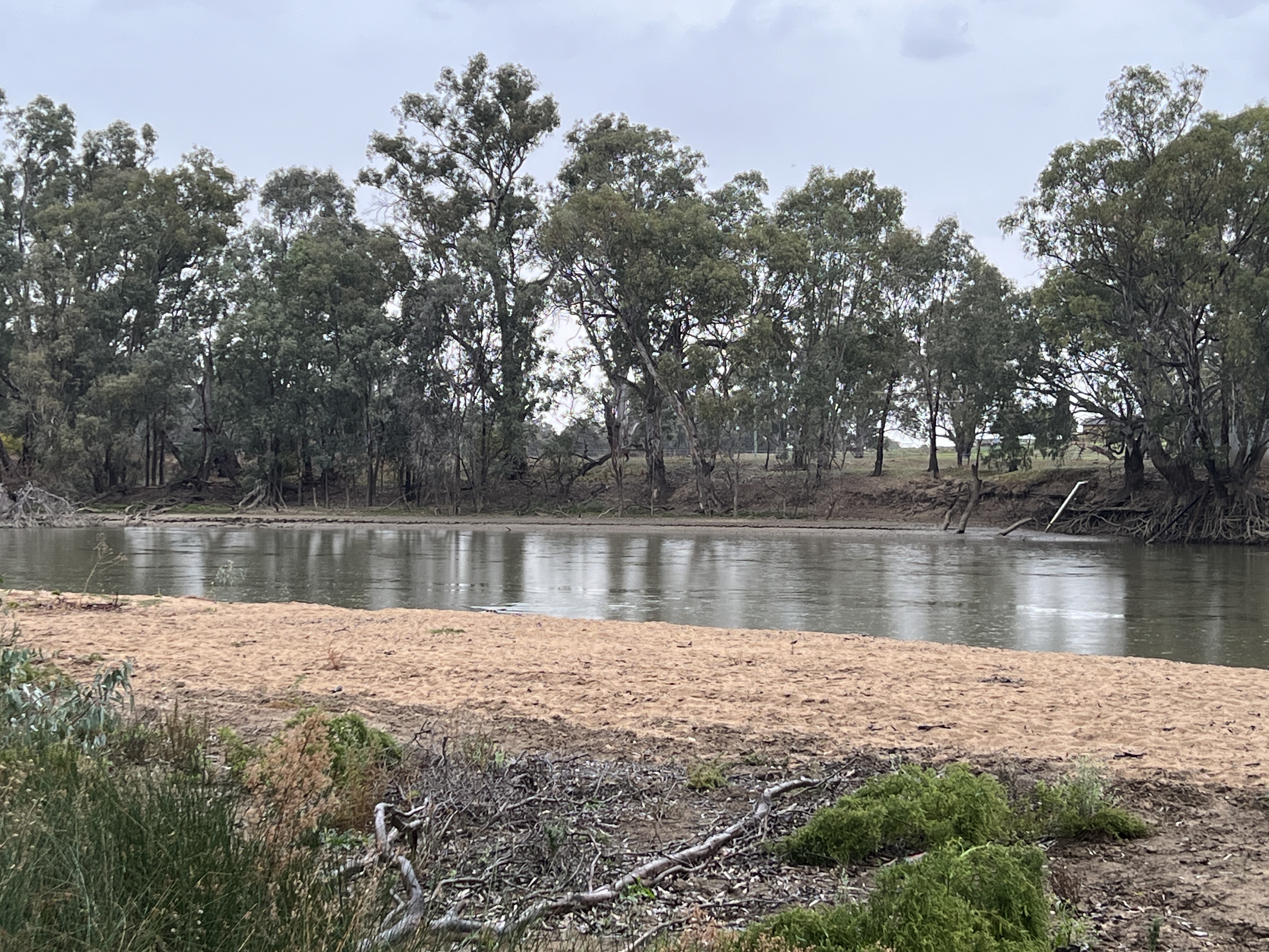
Grong Grong was also where we were going to take a side track down to Berembed Weir on the Murrumbidgee. The Berembed Weir is an important place in a journey down the river. A couple of kilometres down the road we came to a ‘road closed’ sign and had to back track and take an alternate route, the unsigned detour.
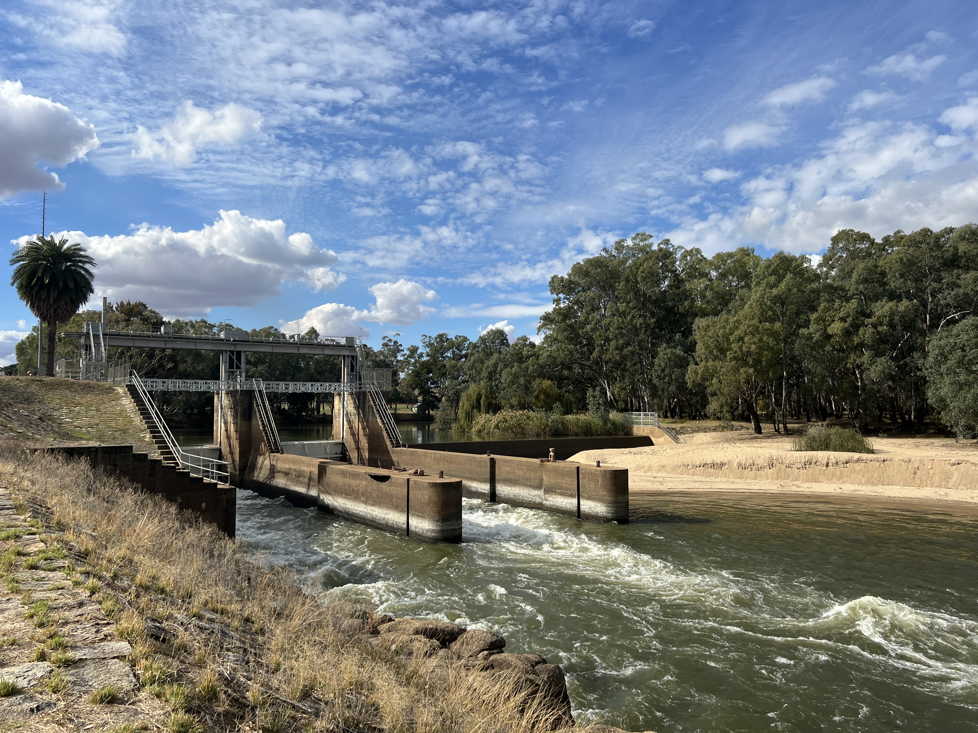
The weir is important because it is here that the MIA has its birth, the source of the water that gives life to Australia’s great food bowl. It was constructed between 1910 and 1917 in conjunction with the canal that took water from the Murrumbidgee, the water flows of which are controlled by Burrinjuck Dam. The weir creates a pool of water upstream and a regulator at right angles to the weir allows water to be funnelled down the canal which then runs into creek, in fact an old branch of the Murrumbidgee, that winds its way down to our Lake Talbot. We were fortunate to get some blue sky and sun while down at the weir.
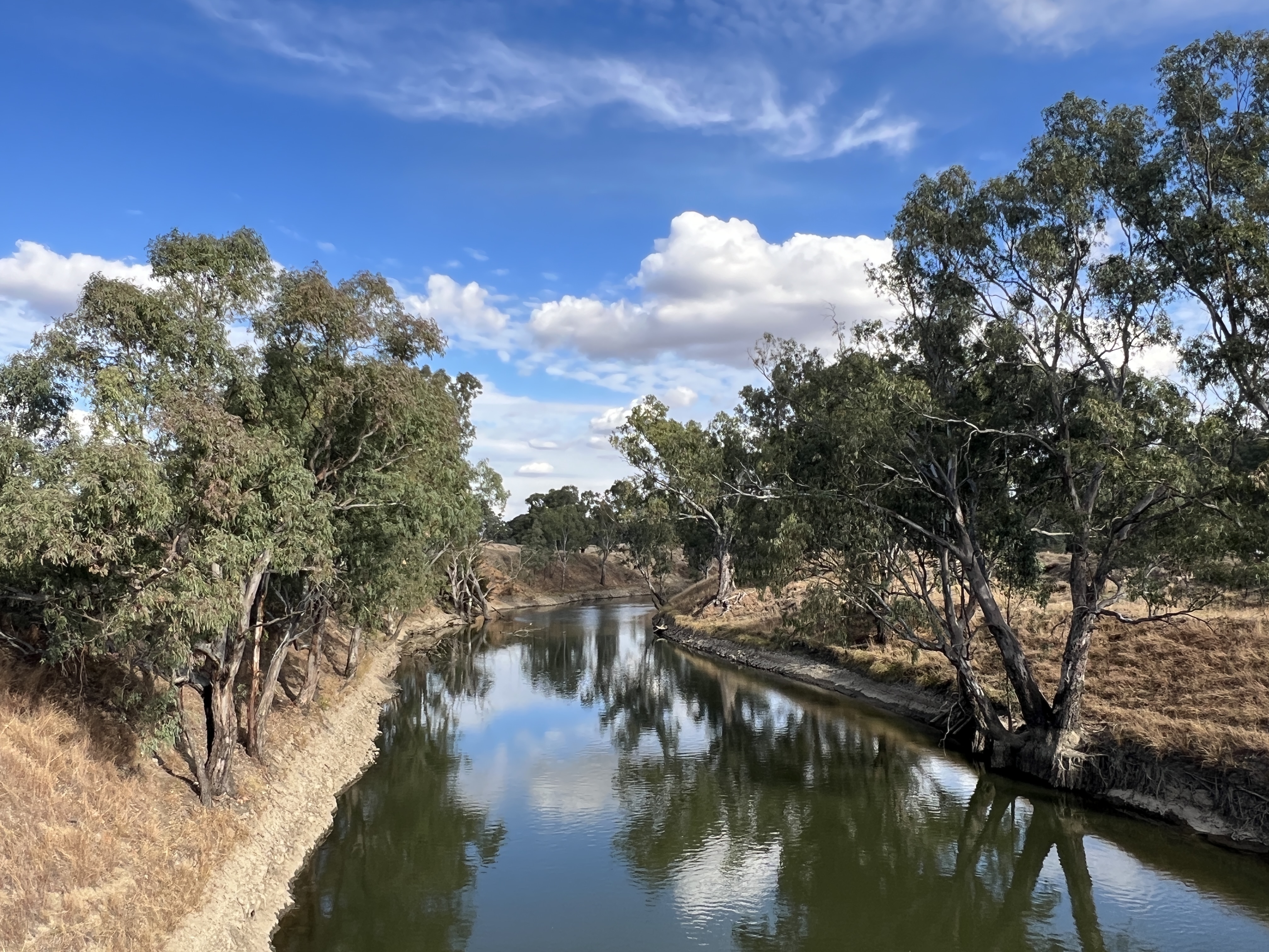
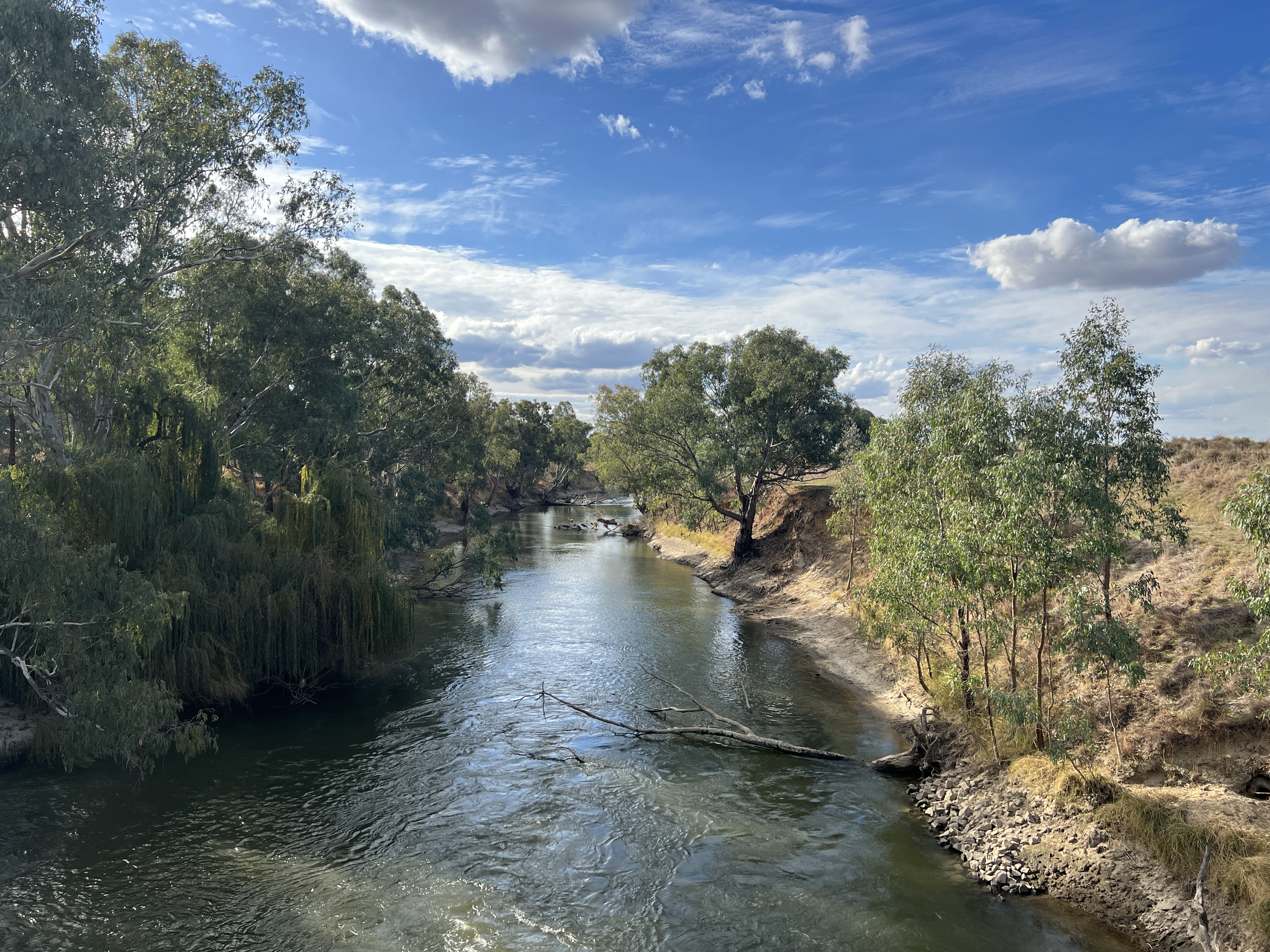
From Lake Talbot the canal takes over and carries the water north through Narrandera and on to Leeton (25km) and Griffith (another 45km). Quite an engineering feat for the times, particularly during WW1. Along the way there are various diversion points which take water into irrigation channels to the farmlands.
After this exploration we headed back to town, more than a little peckish, and indulged in a sausage roll from the local bakery.
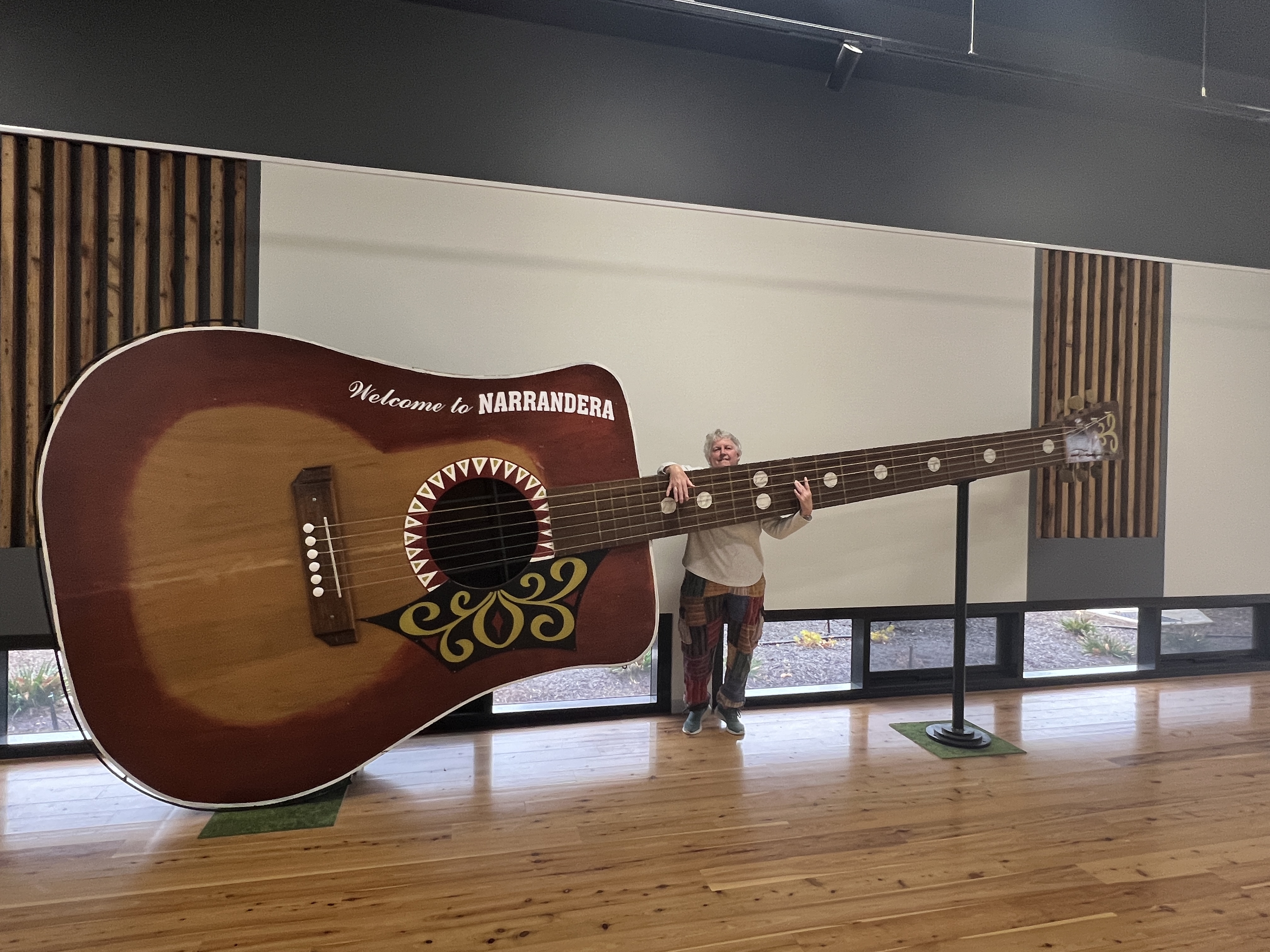
Next morning we had a short drive around to see some of the town. The Information Centre the usual place to start and it was here that we found the Big Guitar, some guy’s idea to promote the town from a few years back. Homealone thought it needed a tune up, the strings were a bit floppy.
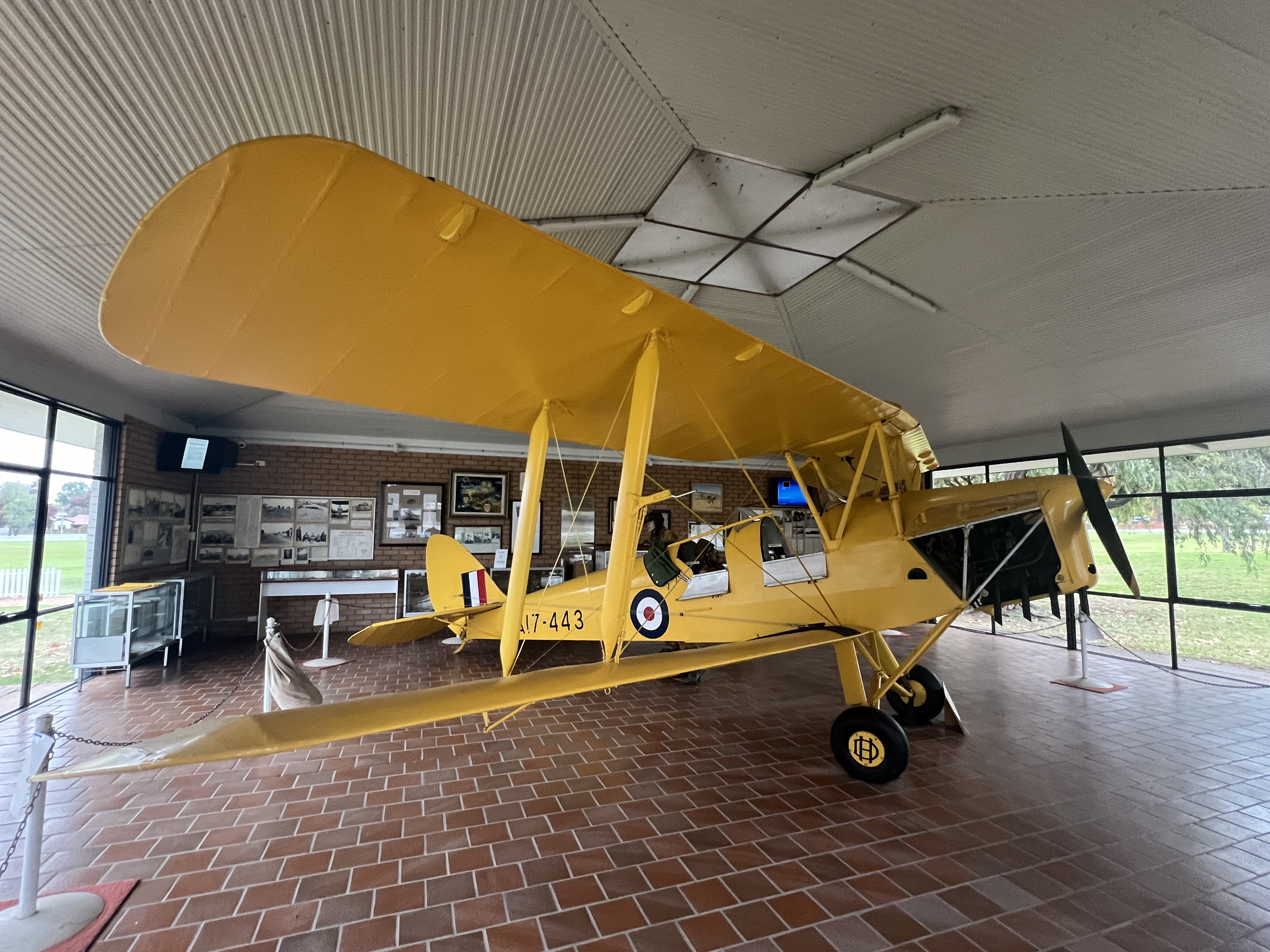
Next door was a tribute to the RAAF training base that was here in WW11, a sister to the one in Wagga. They used Tiger Moths to train the recruits and one is here on display.
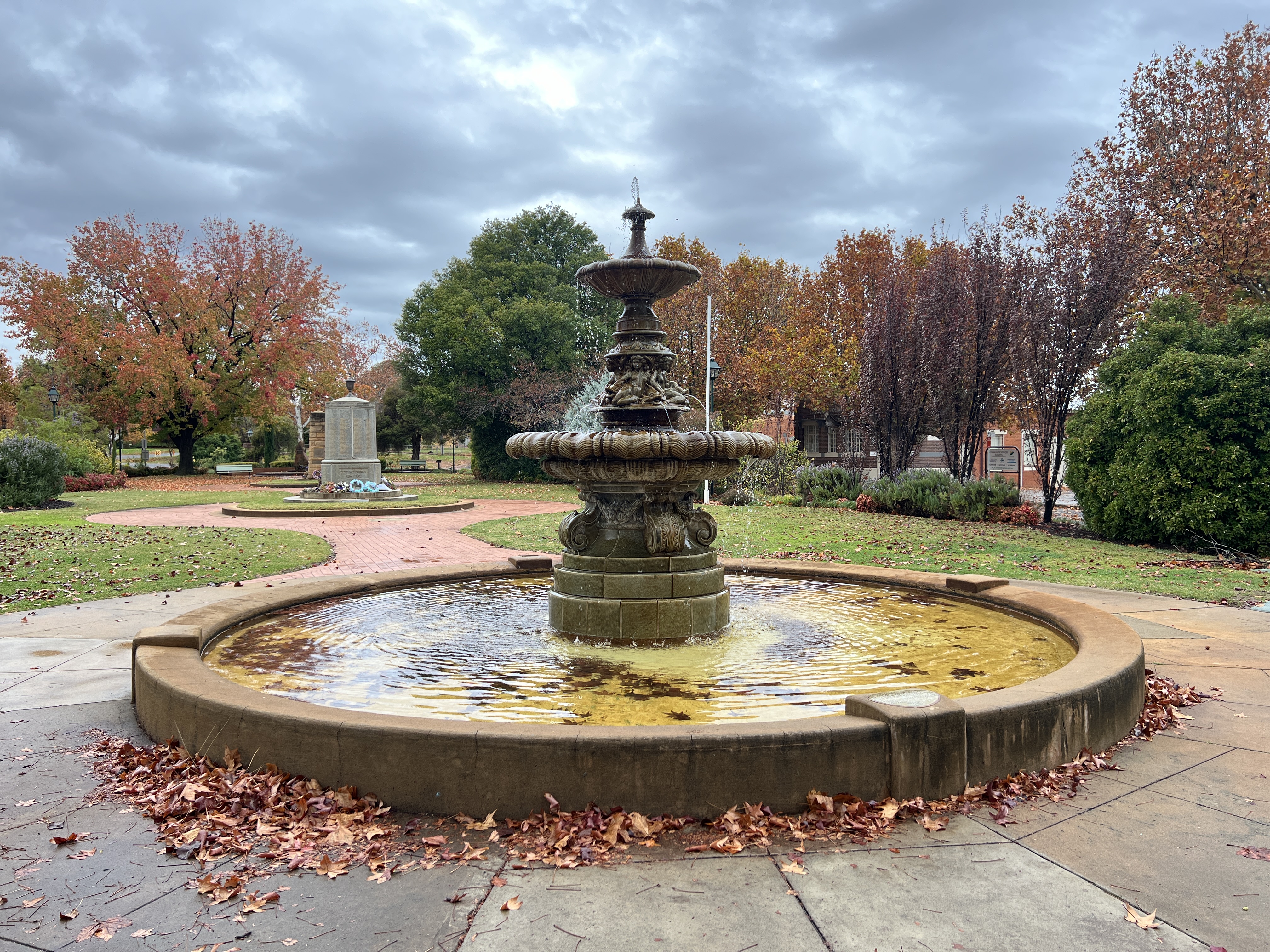
Like Wagga the town has a Royal Doulton fountain from the late 1800s, this one is special though. It seems there are only two in existence of this type, the other is in India somewhere.
After a couple of nights here at Lake Talbot it was time to pack up and head off north along Irrigation Way to Leeton. This was all of 25 km, so we were not in a hurry to leave.
Posted on May 15, 2024, in Murrumbidgee Run 2024. Bookmark the permalink. Leave a comment.

Leave a comment
Comments 0