Pathway for Bosses
We have left Namadgi and are headed towards the top of the Murrumbidgee Corridor at Cotter Campground. Here the Cotter River has been dammed, the Cotter is a tributary of the Murrumbidgee. Most of the water supply for Canberra and Queanbeyan is from the Cotter Dam and much of that water falls from the sky into the area protected by Namadgi NP.
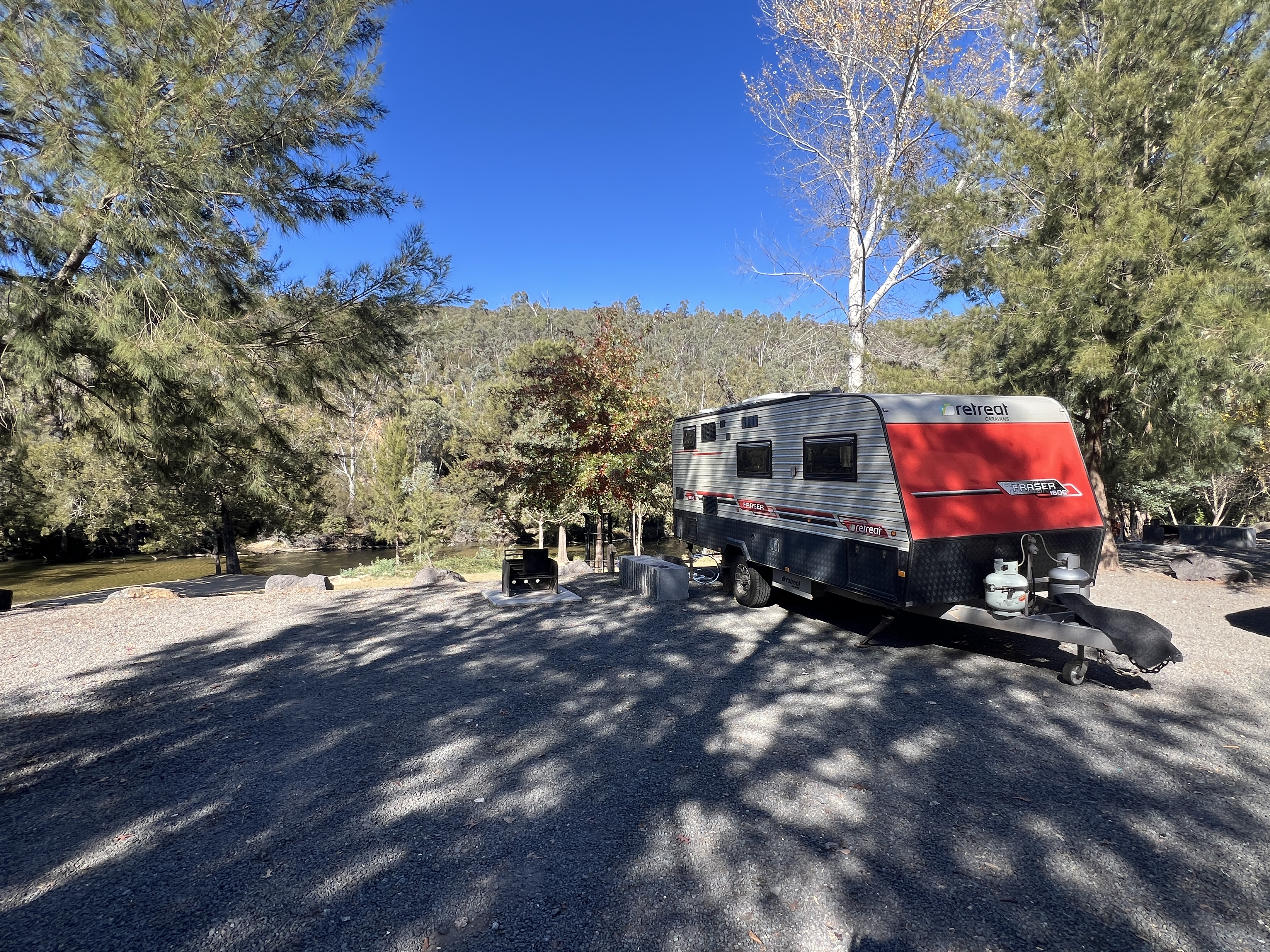
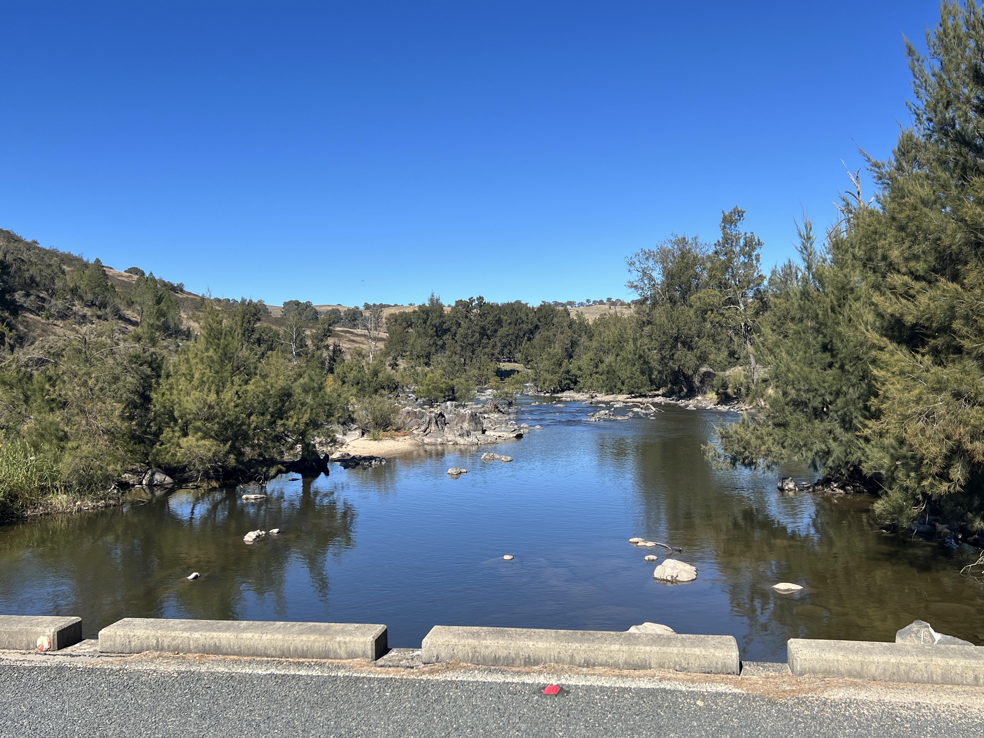
From Namadgi our route took us back through Tharwa and then along beside Paddys River to the Cotter campground. A great spot perched overlooking the Cotter River, below the out of sight dam wall, no power but water to the van which was a bonus.
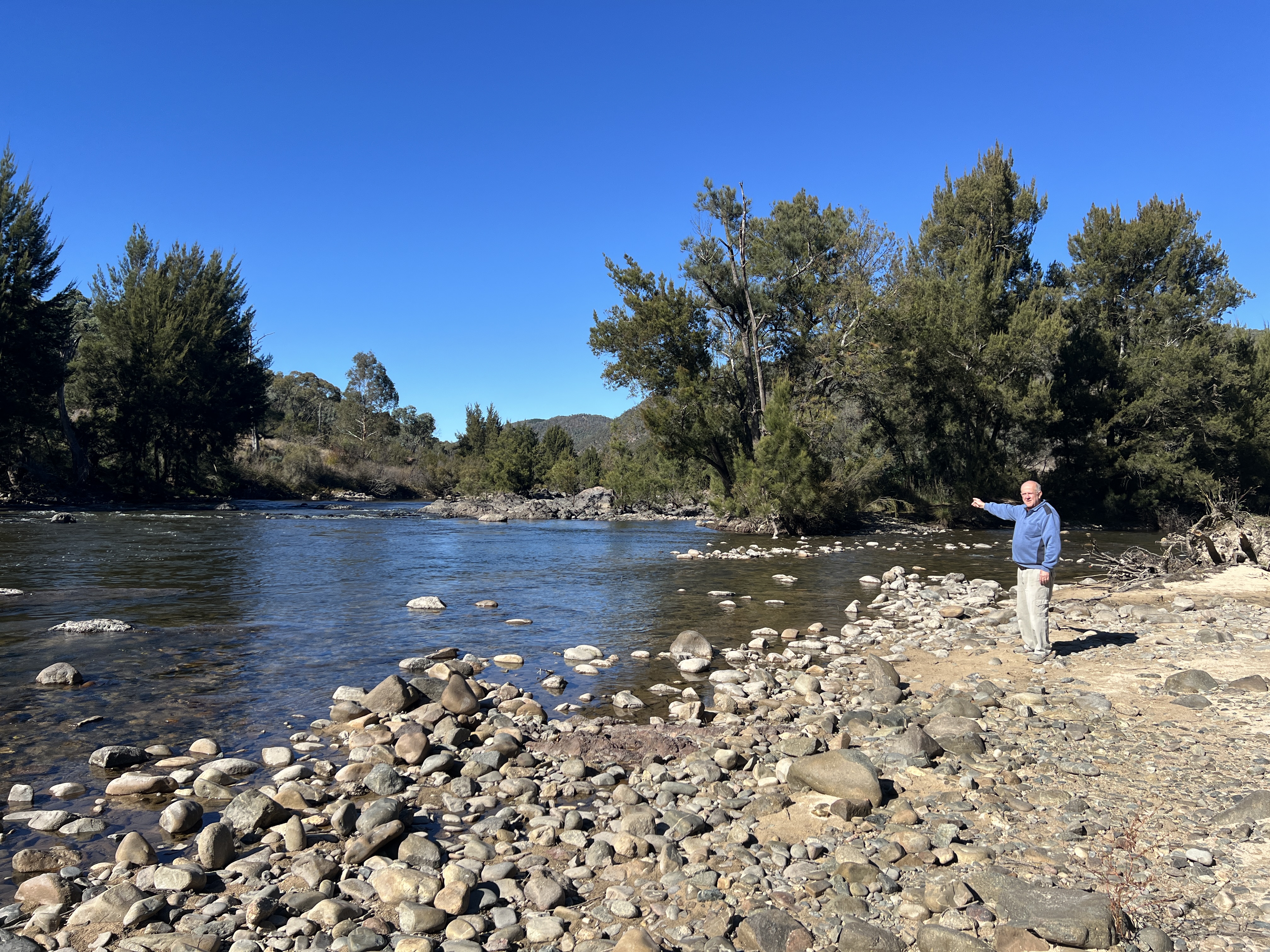
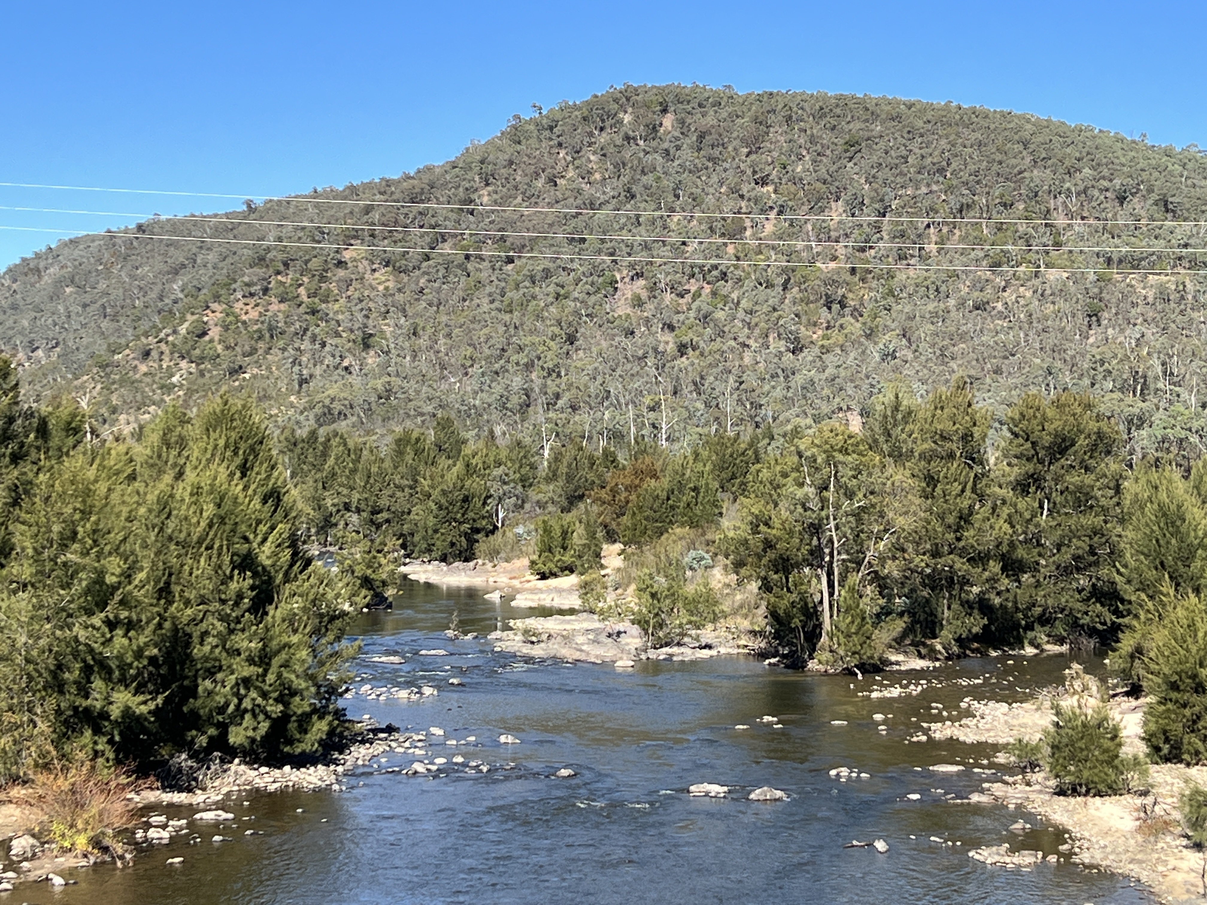
About 200 metres downstream from the campground the Cotter junctions with the Murrumbidgee. It is a quiet peaceful place, the water quite shallow tumbling over its rocky base.
The areas we have been in for the last week or so are the traditional lands of the Ngunawal people, they have been in these parts a lot longer than us lot of European heritage. It seems the tribal leaders would follow the Murrumbidgee as high as they could go, and the further they went the more responsibility they had as individuals. Upon reaching Namadgi they would be initiated, and learn about their law and connection to community. ‘Murrumbidgee’ for them meant ‘pathway for bosses’. ‘Murrum’ meaning ‘pathway’ and ‘bidgee’ meaning ‘boss’.
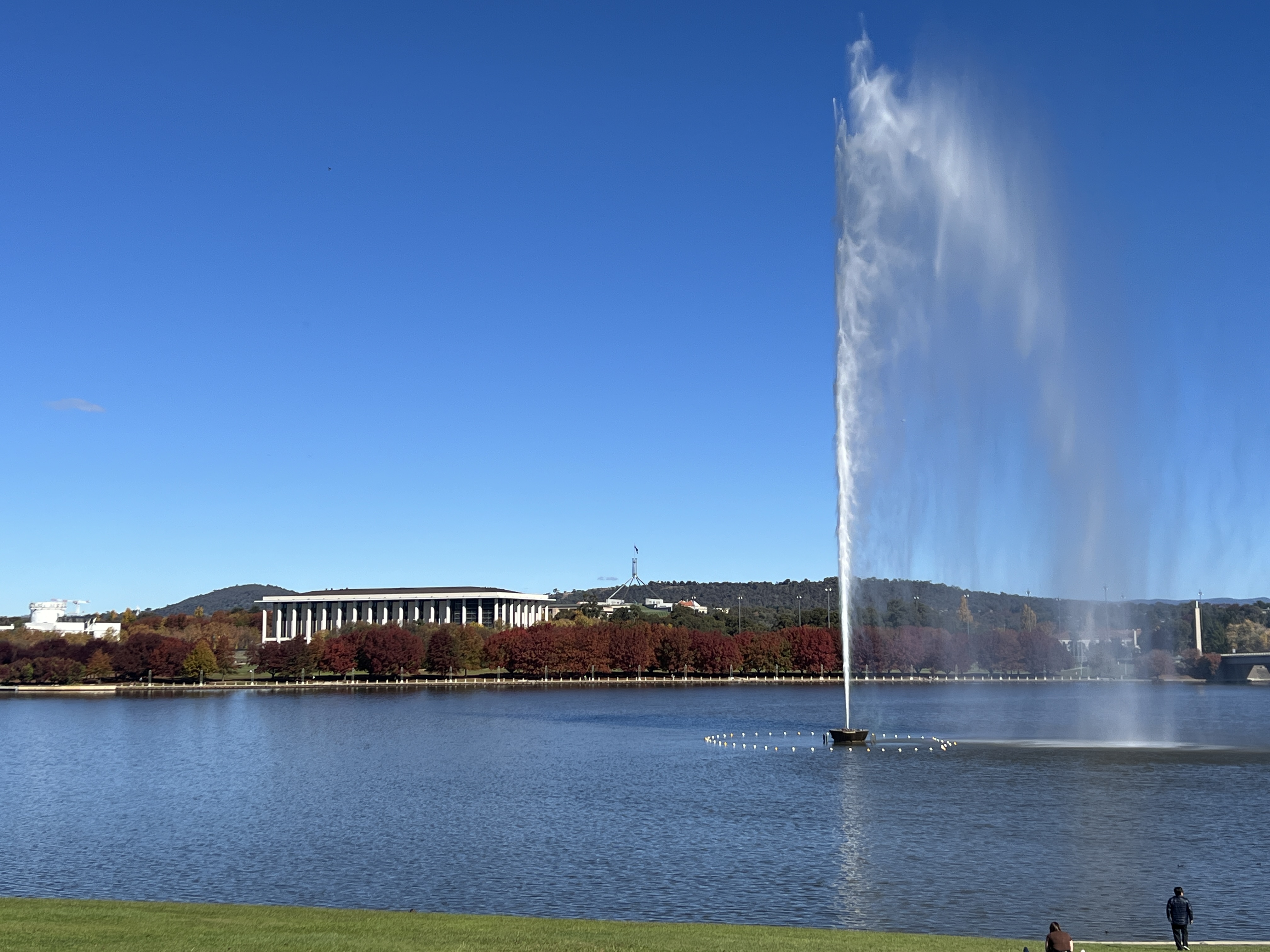
Allthego is growing in thinking about our indigenous peoples. It is not an easy subject. In a simple way one can say ‘ hey you know these guys were here for thousands of years before us’ show some respect! And so we should. They didn’t leave marks on the land like Europeans did but nonetheless they occupied it and cared for it. Part of their soul! Seems a little preposterous for us to put our national capital and Lake Burley Griffin in the middle of whatever that had. However, we had a nice lunch overlooking said Lake Burley Griffin and the water spout.
Homealone has some siblings who are occupying these parts, sister Cheryle and brother Stuart. So we dodged a night at Cotter campground and stayed with Cheryle and Peter and family for the night, leaving the van in darkness. Fun night with relos, thankfully most are Eels supporters.
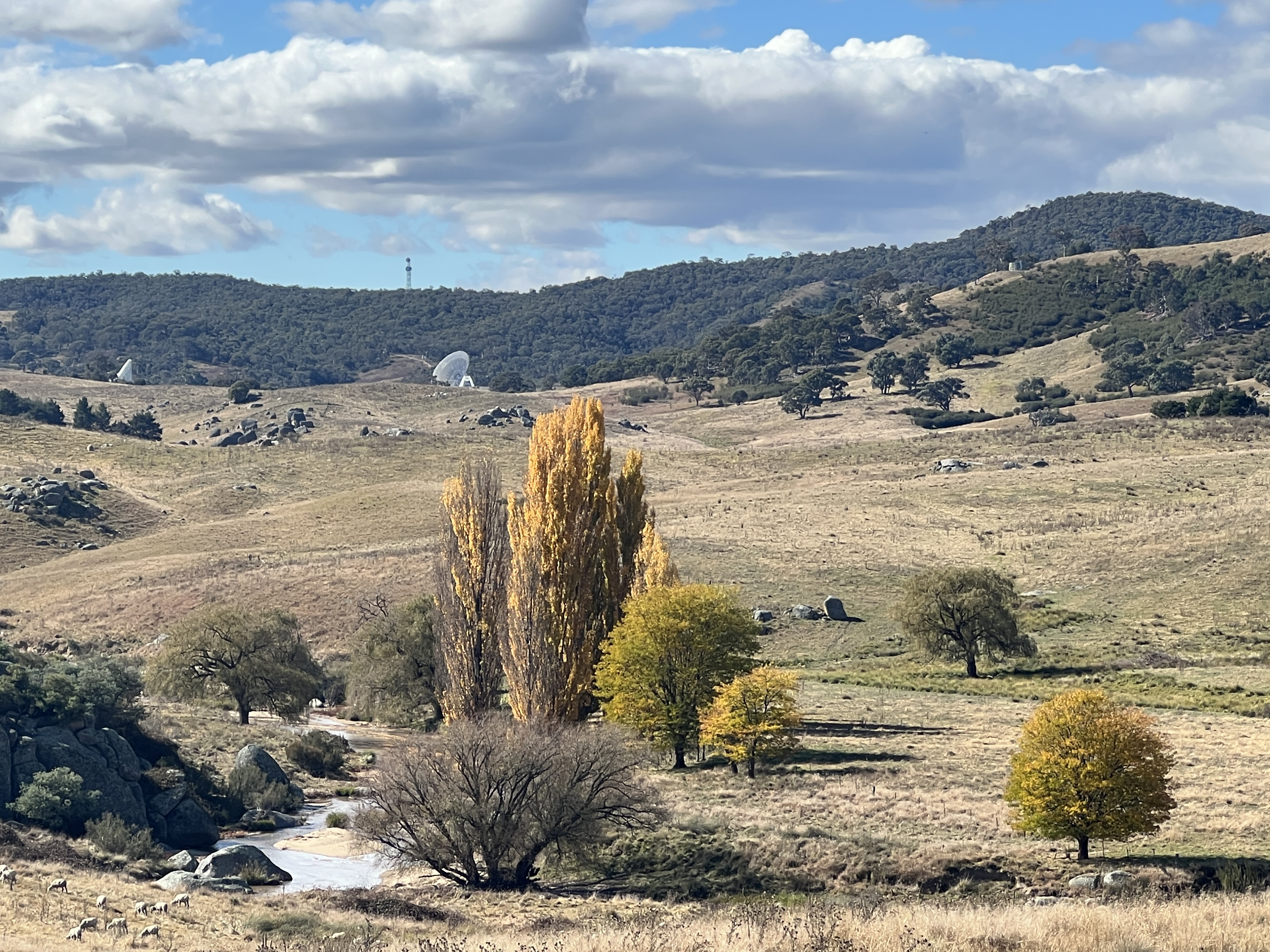
Did a little tour back down Paddys River road to check out the Tintanbilla Tracking Station. This is our current contribution to the NASA deep space program. There is a 70 metre dish here that keeps an ear on deep space and anyone in Brisbane probably. It is the largest in the southern hemisphere, another is in Spain and another in the USA.
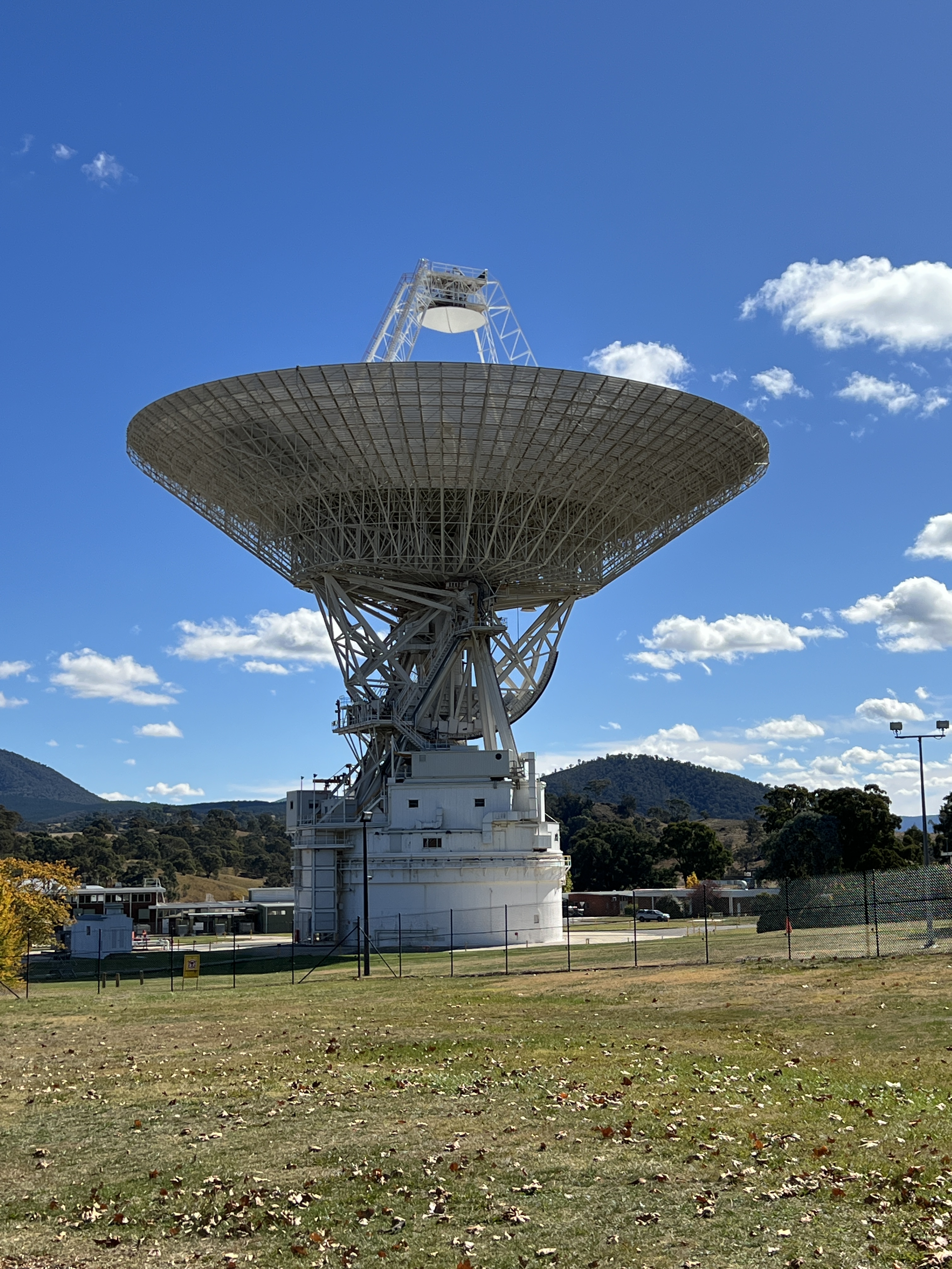
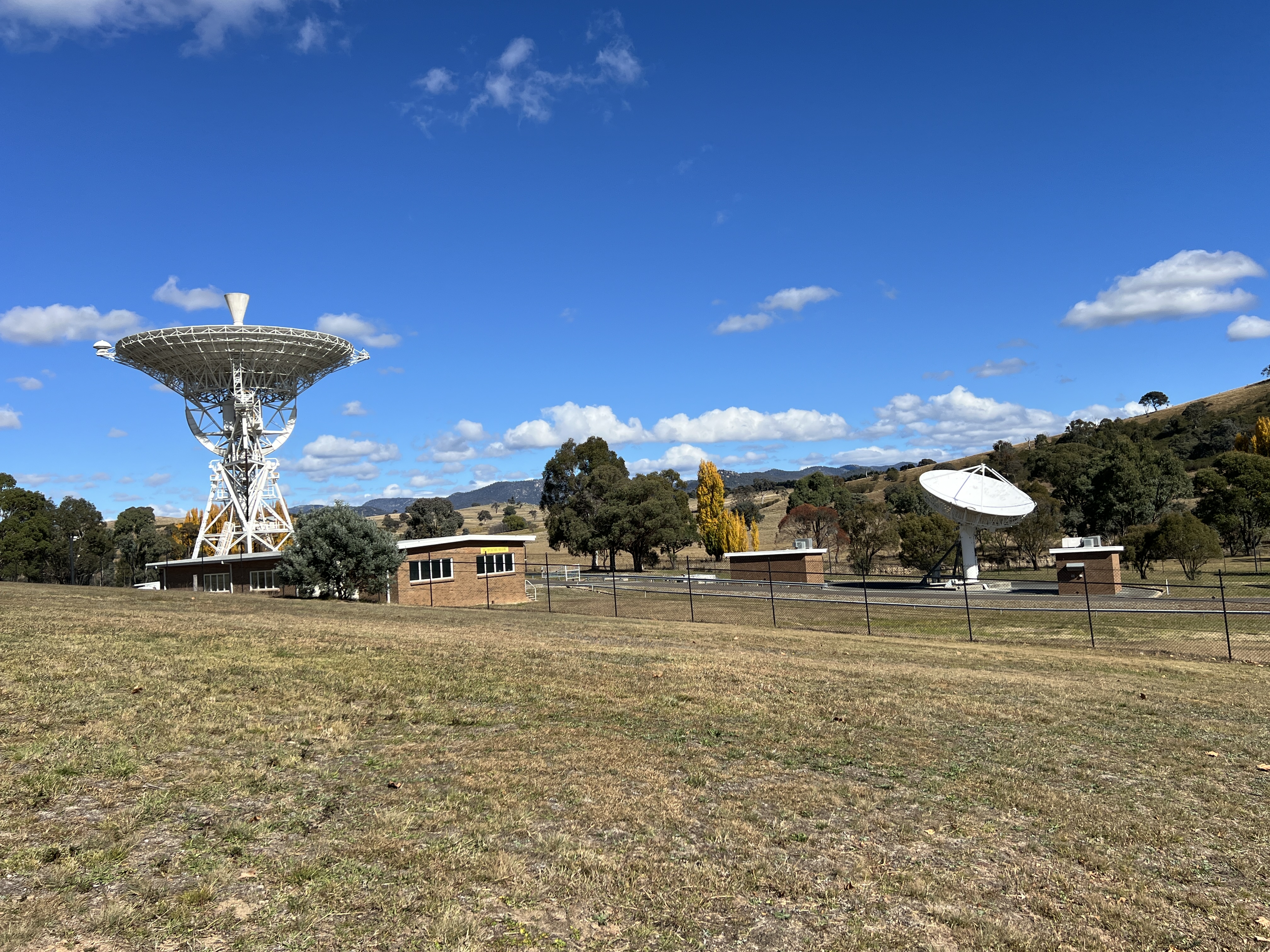
Some readers may recall the Voyager 1 and 2 launches. They had that genetic symbol of humanity on them. Anyway the Voyagers have now exited our solar system and are in inter stellar space. But our tracking station here has a role in keeping in contact with them. A very faint but continuing signal is recorded here, and they ask us to turn off our phones so as not to disturb anything. Makes one feel very small!
So Allthego is taking the hint and turning off this post before he gets to Gundagai!
Posted on May 6, 2024, in Murrumbidgee Run 2024. Bookmark the permalink. Leave a comment.

Leave a comment
Comments 0