In Search of the Murrumbidgee
We are now in Adaminaby at the Alpine Caravan Park for a couple of nights. It is on the edge of the small town. First thing done was to fill the fuel tank, 69 litres. Just made it, anlmost empty. The odd thing about Adaminaby was that there was no dump point in town for the onboard loo, now full. Closest one was 35 km away in Cooma! So it might have to wait another day or two.

Our objective here in Adaminaby was to seek out the Murrumbidgee as close to its source that we were able to access. In this search we have been frustrated by the National Parks people who have closed the northern section of Kosciusko NP to undertake a big feral animal cull, aimed mostly at wild horses, pigs and foxes. The horses, which number in their thousands, are very destructive of the fragile environment but are also much loved by some of the local horse brigade. The brumbies have that Man from Snowy River nostalgia.
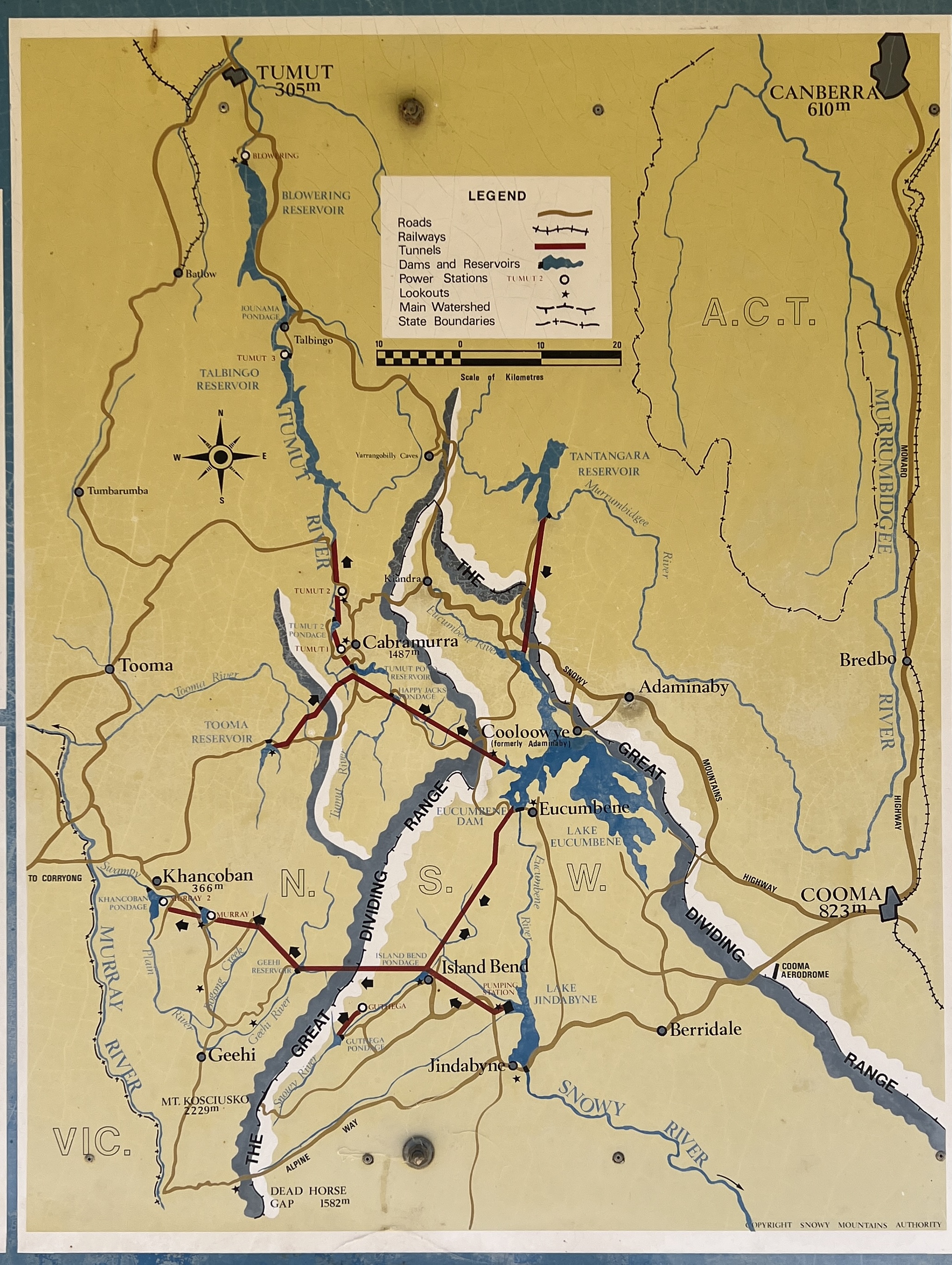
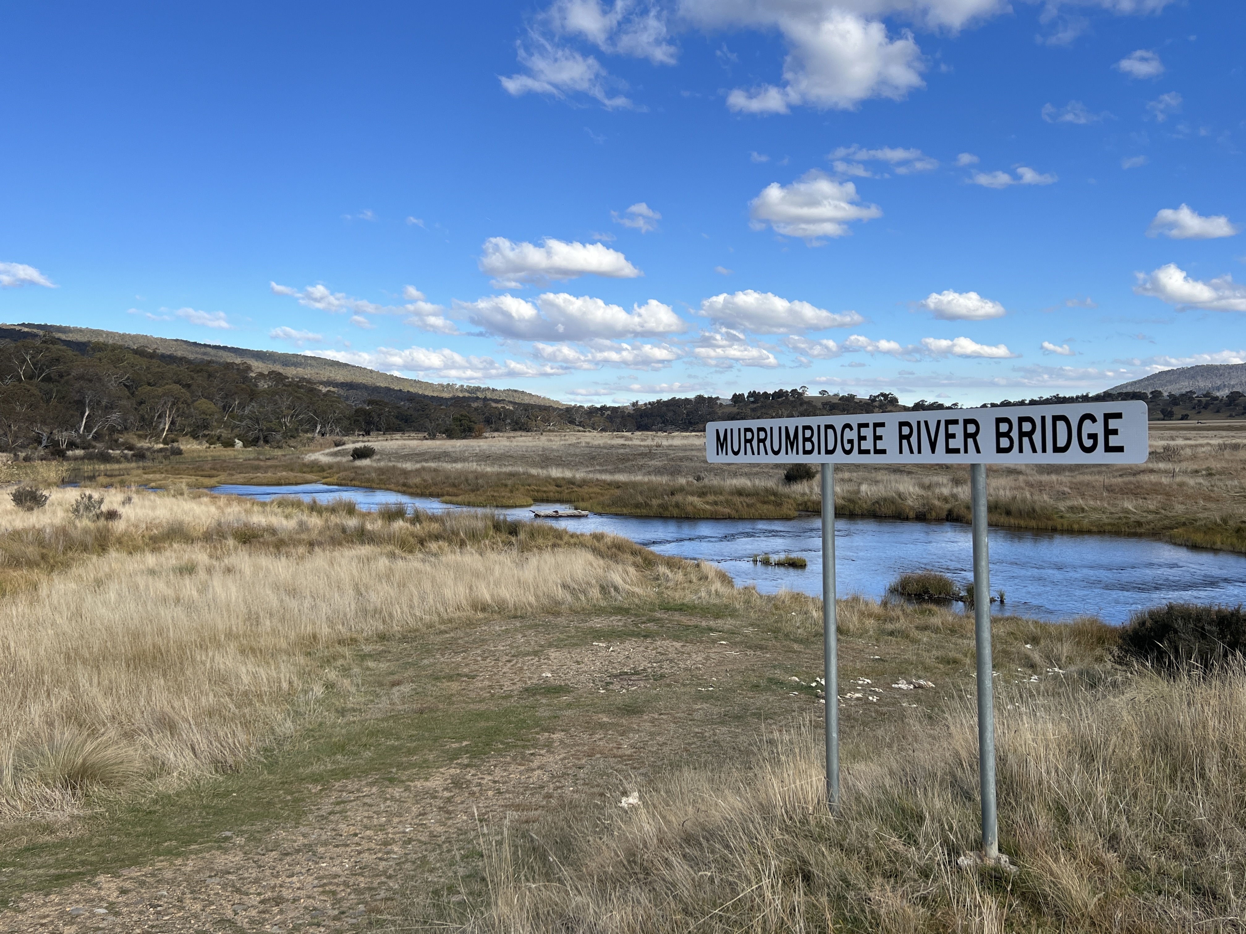
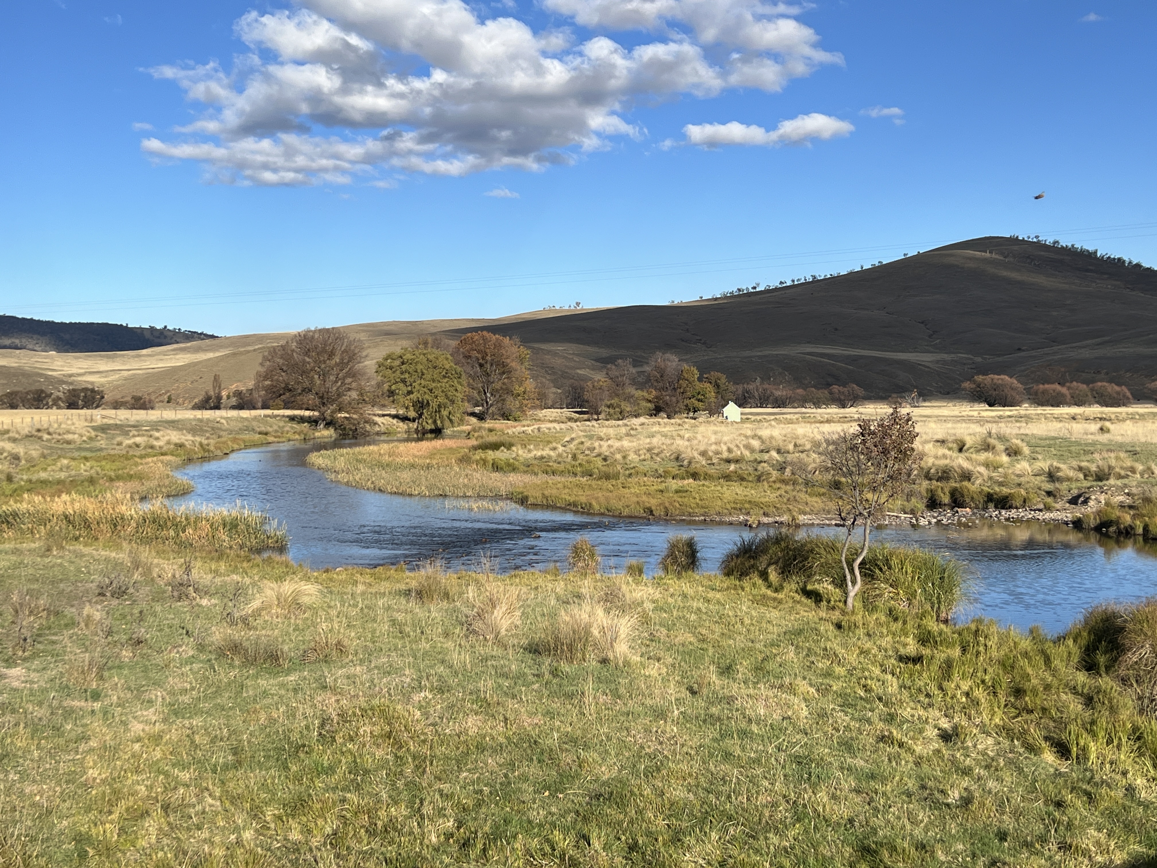
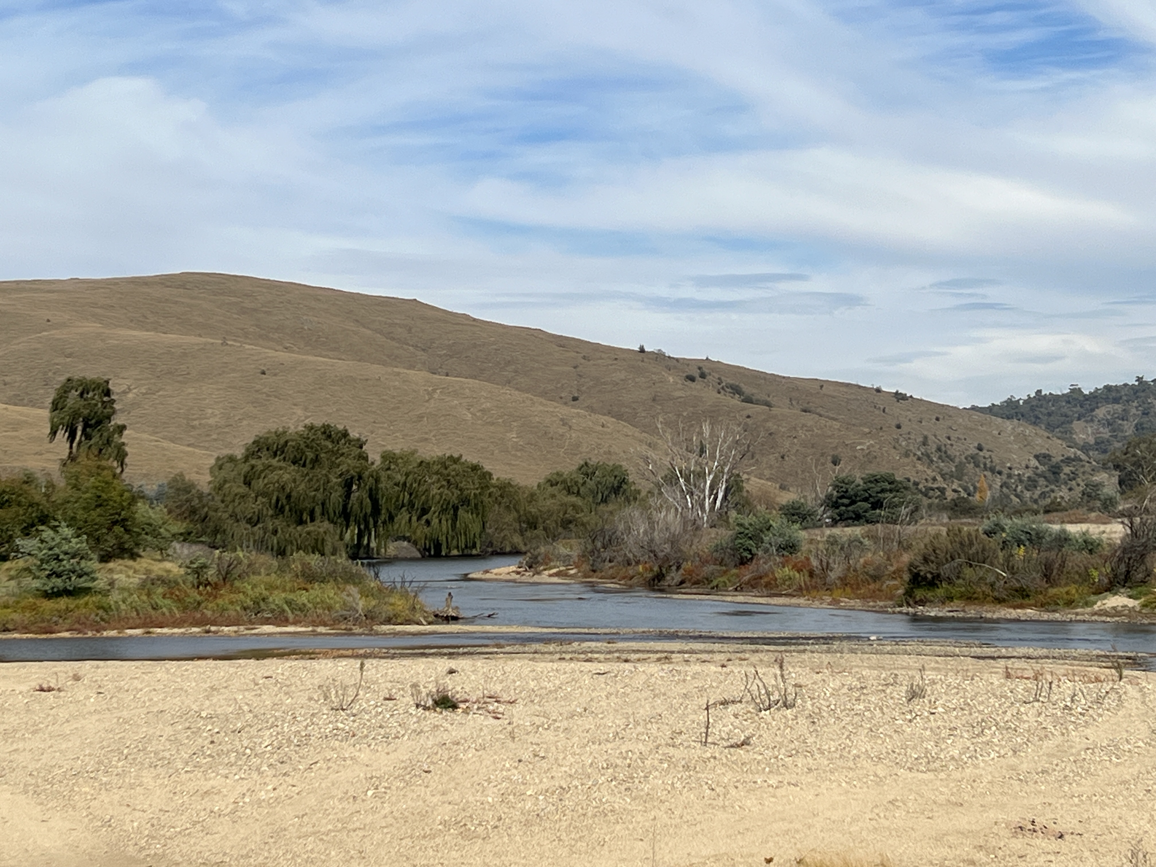
The Murrumbidgee is Australia’s second longest river and flows 1,488 km from its source about 50 km north of Kiandra to join the Murray River near Boundary Bend, not far from Swan Hill. The actual bog where the river starts is on the ground below Peppercorn Hill, accessible for keen walkers. We were going to camp at a spot not far from there and then drive a short distance to make our first sighting before the river flows into Tantangara Reservoir, a large proportion of this dam’s water is diverted into Lake Eucumbene. What comes out of the dam for the Murrumbidgee system is a fraction of what it was pre dam. But plenty is then added as the river flows south through inaccessible valleys and then farmland towards Cooma. It seems that the road from Adaminaby to Yaouk fits the bill and we head out for a drive of about 20km along gently undulating grazing country. We find the river crossing near a group of homesteads below Tantangara dam at Yaouk, an aboriginal word, not sure what it means. Pretty spot as the river bubbles away downstream.
The road loops through grazing land on its way back to Adaminaby, passing through the small settlement of Shannon’s Flat.
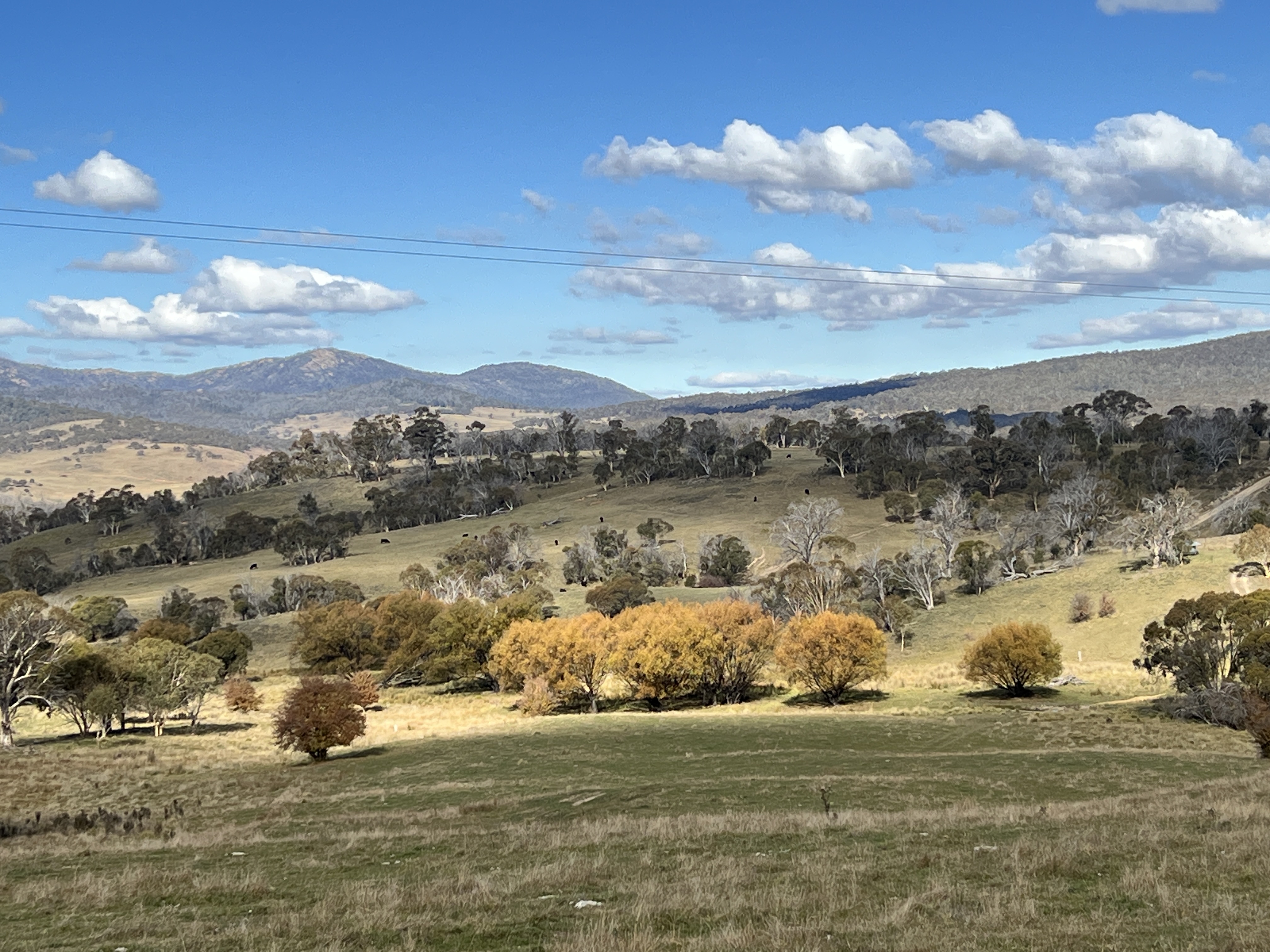
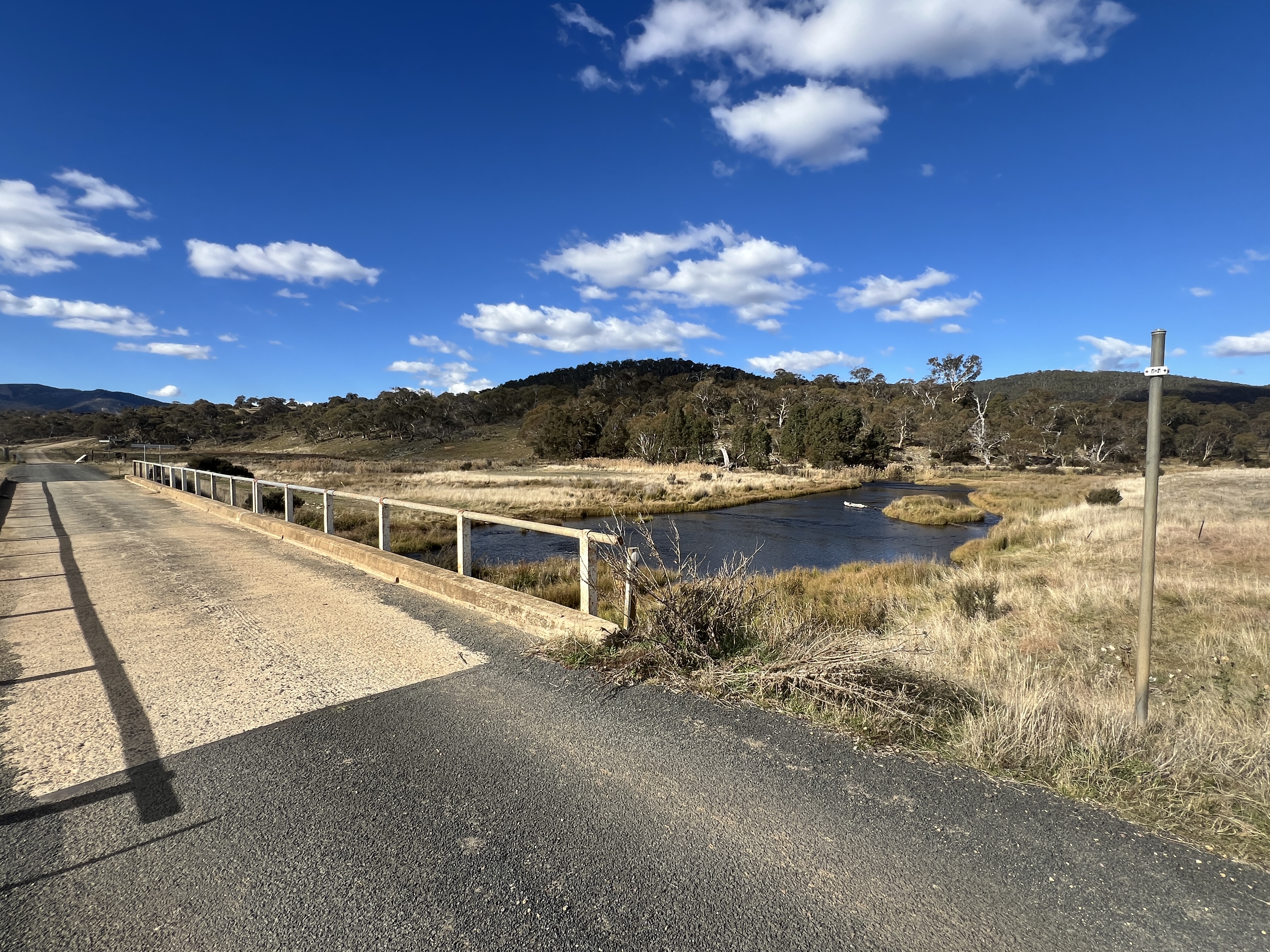
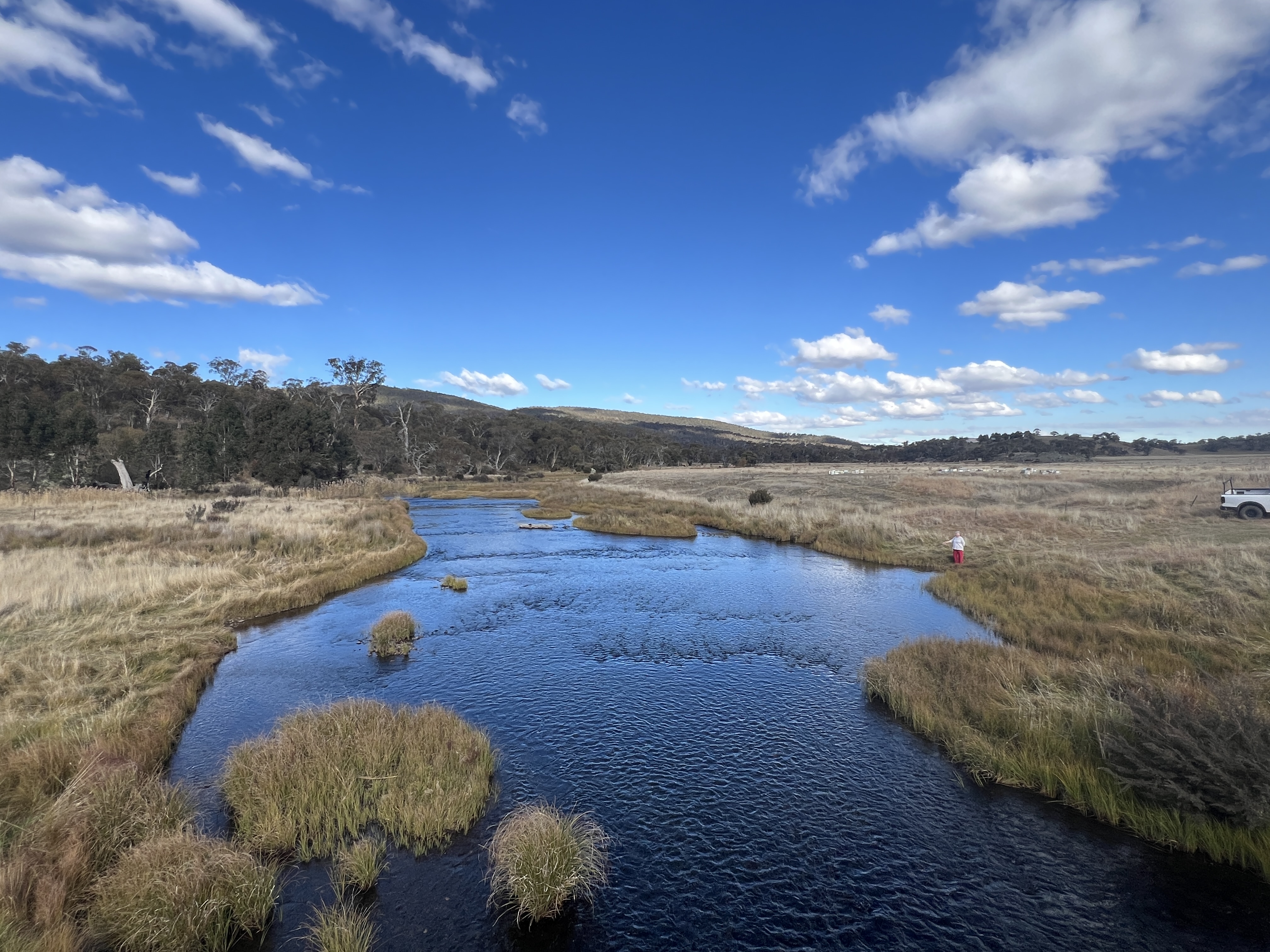
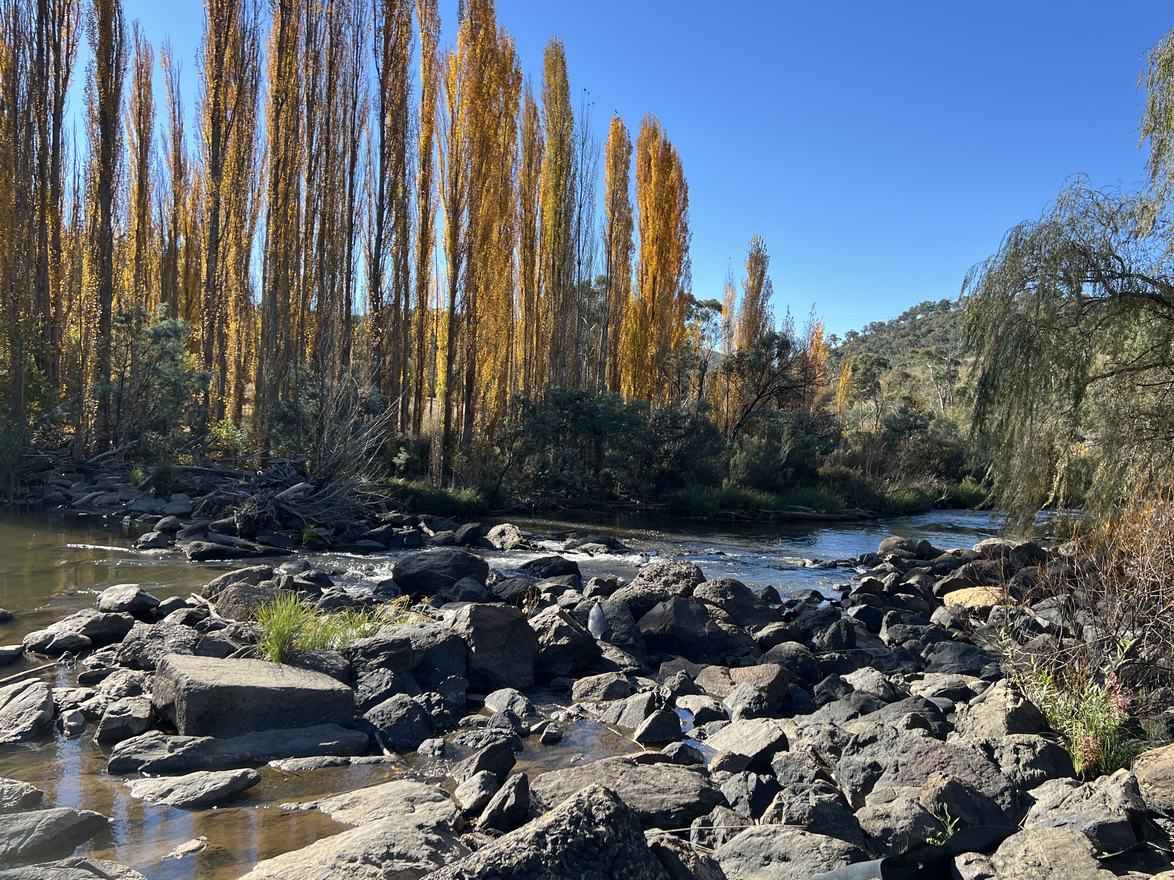
Great views of the countryside. Just outside Adaminaby on the other side of town we again cross the Murrumbidgee, another pretty spot, bubbling along its way.
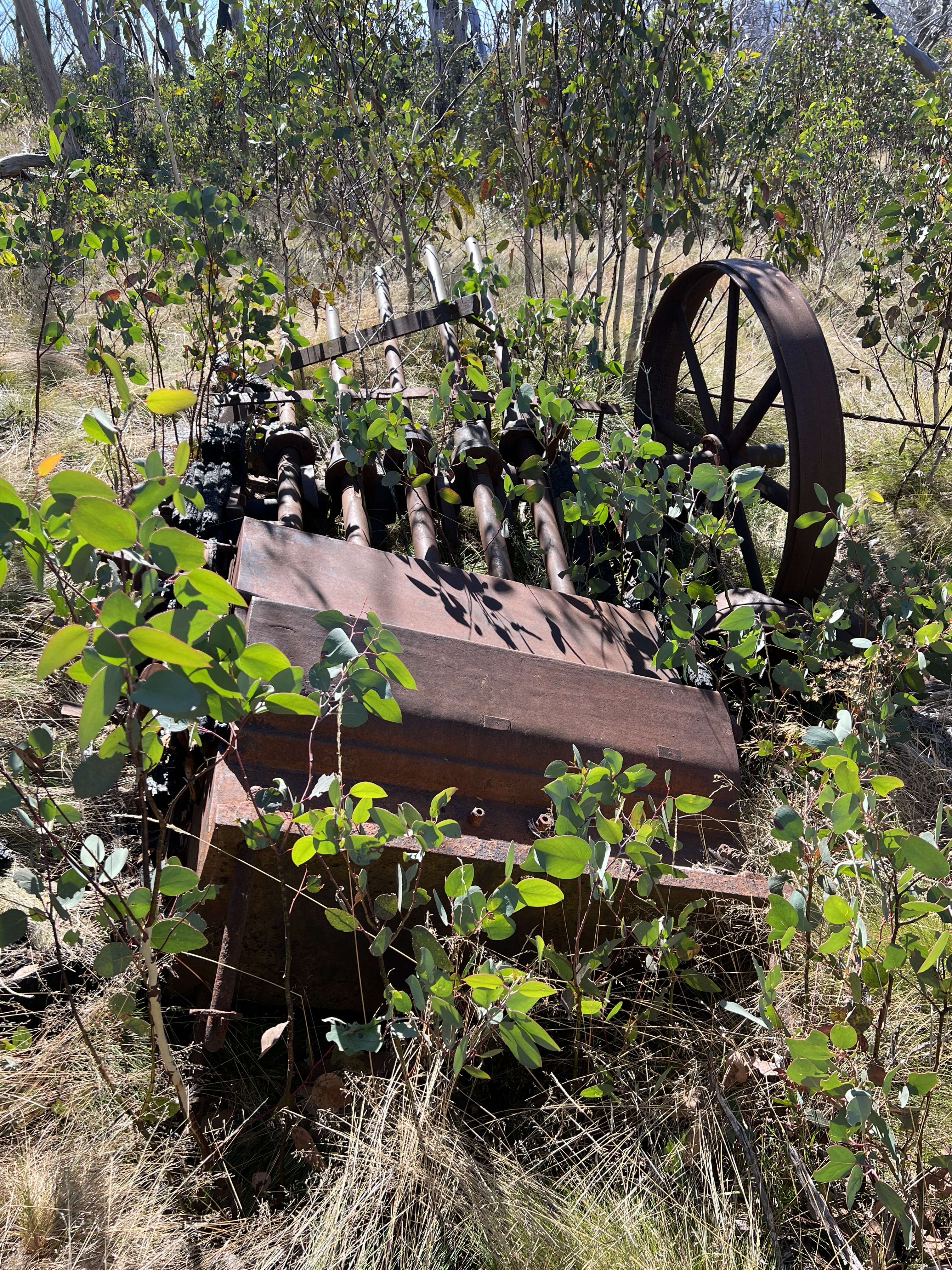
Adaminaby is also an ideal spot to stay to check out the old gold mining district of Kiandra. Not much of the old town is left today. It is the spot where skiing first started in Australia, 160 years or so ago. It fell by the wayside following the development of places like Thredbo and Perisher in the late 1950s and 60s. We strolled off on a 3 km loop walk to take in the alpine scenery.
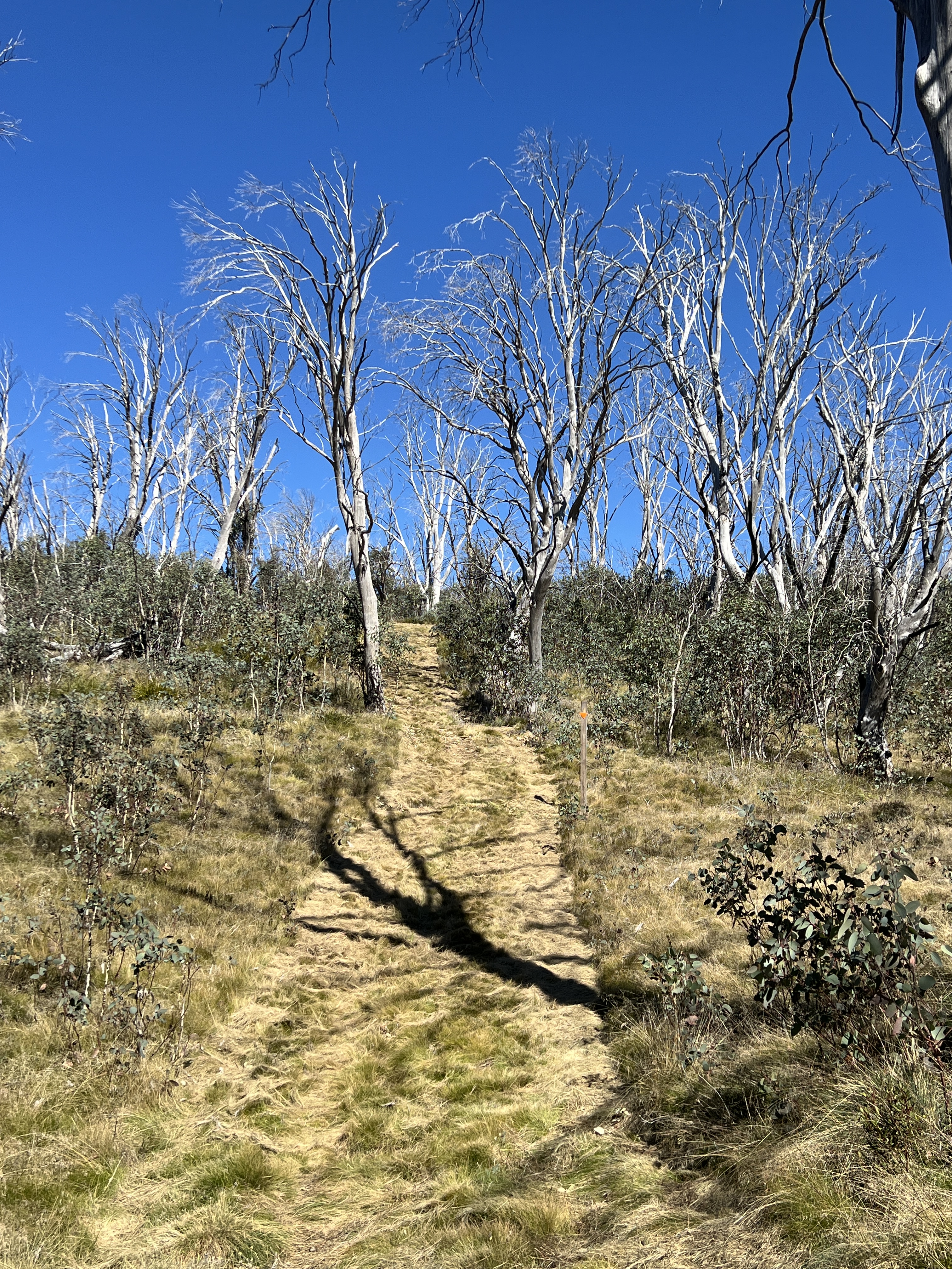
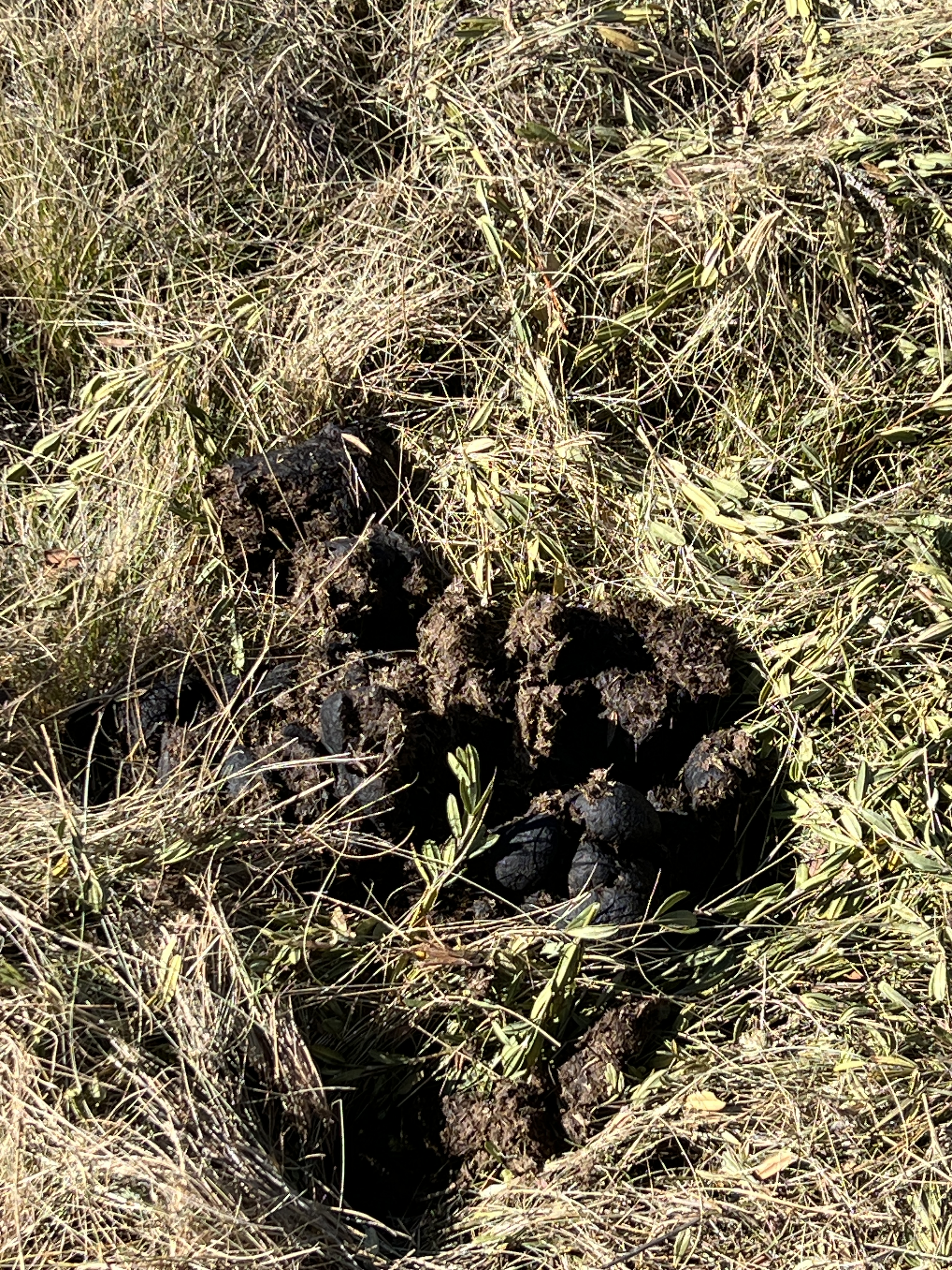
Little more demanding than we anticipated along a well manicured track, that doubles as a cross country ski route in winter. A few relics from the gold mining days were passed as well as a sighting of some brumbies and their plentiful tell tale calling cards left behind on the track.
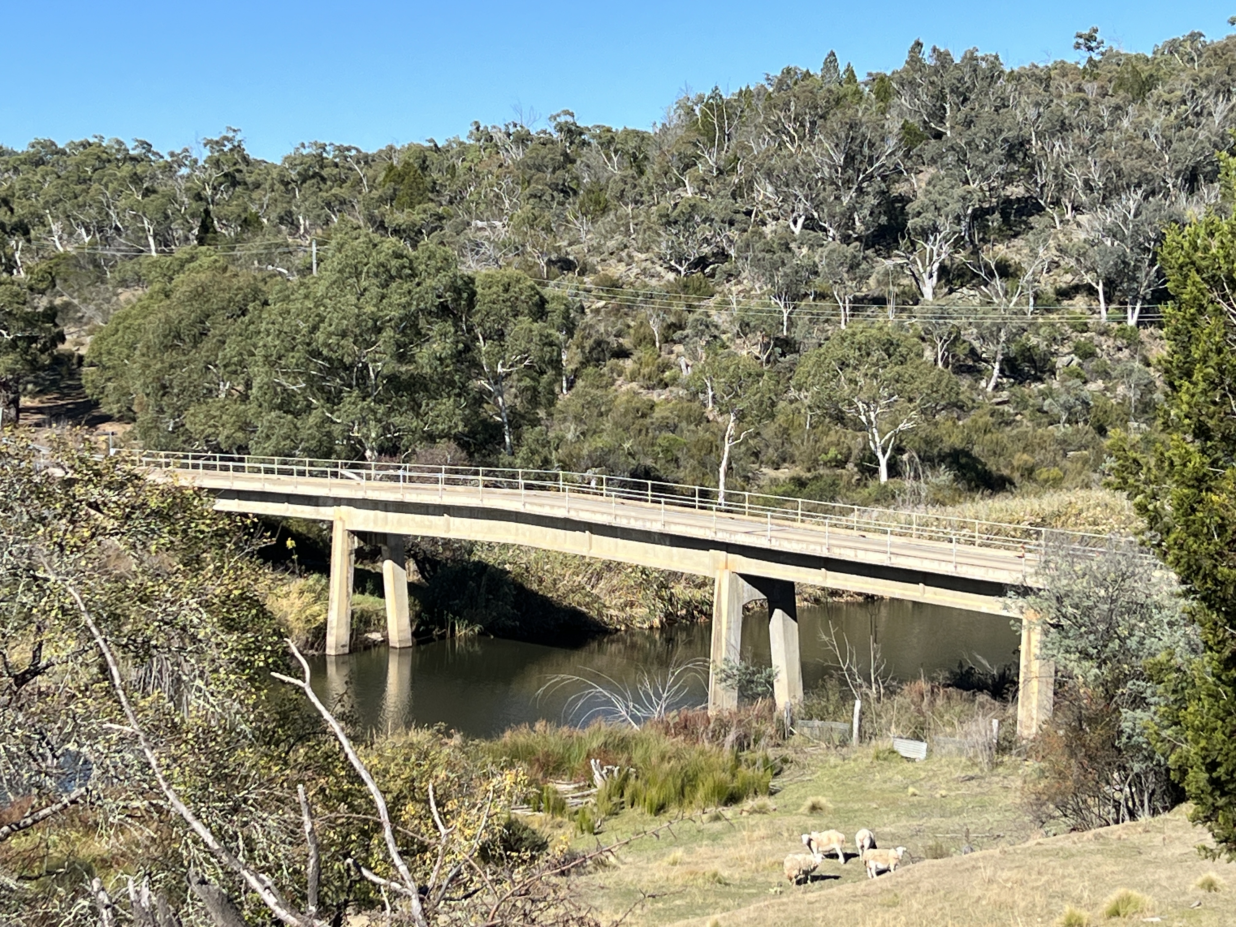
The journey continues from Adaminaby further south to Cooma where we encounter the Murrumbidgee again about 15 km out of town. It is here that the river does a big U turn, cutting its course through a gap in the Clear Ranges, and heads back north towards Canberra.
We join the Monaro Highway out of Cooma and head north. The road parallels the course of the river away to the west in the shadow of the Clear Ranges. It is largely inaccessible due to the surrounding grazing and farm land. We plan to stop the night in Bredbo, free camping behind the old Bredbo Inn. ‘Free camping’ is bit of a loose phrase in this case because there is the expectation that one dines in the pub. Which we did, rather good steak. Homealone, enjoyed a plate of flathead fillets. Chips of course too.
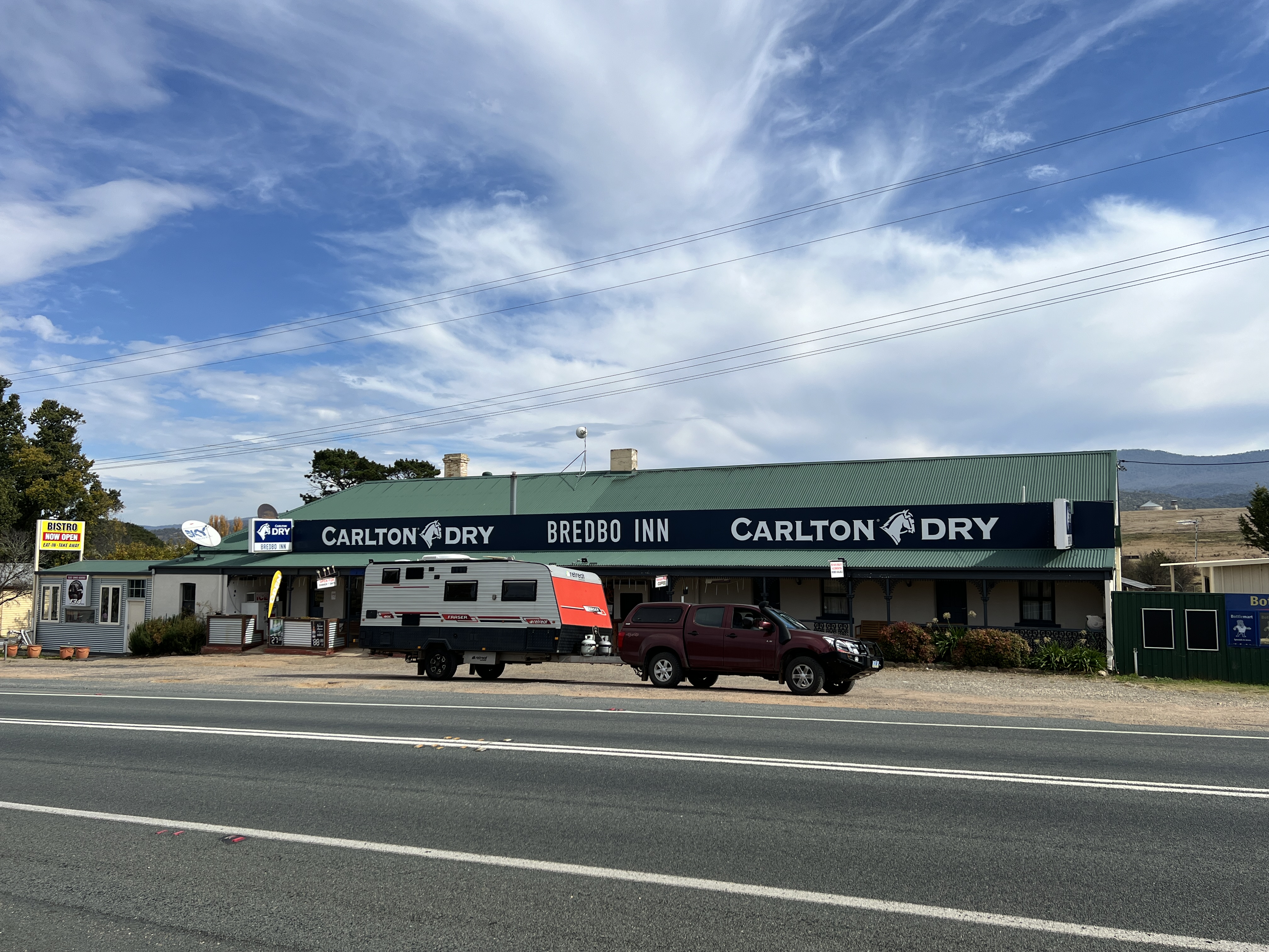
The Bredbo Inn was built in 1830s and has been operating ever since. There is much memorabilia on its walls. It is also claimed to have links to the Man from Snowy River story with Banjo Patterson reportedly a guest. The original Clancy of the Overflow may also have been an employee at the time. And as for the ‘Man’, a local identity may well be a candidate for the mantle, but who knows. Anyway this chap is said to have died in the Inn after falling from his horse crossing the bridge on a frosty morning. Something to talk about at the bar.
Nearby the Inn are two spots to see the river again. The prettier one is where it is joined by the Bredbo River.
Our next stop will be at the Namadgi NP for a couple of nights.
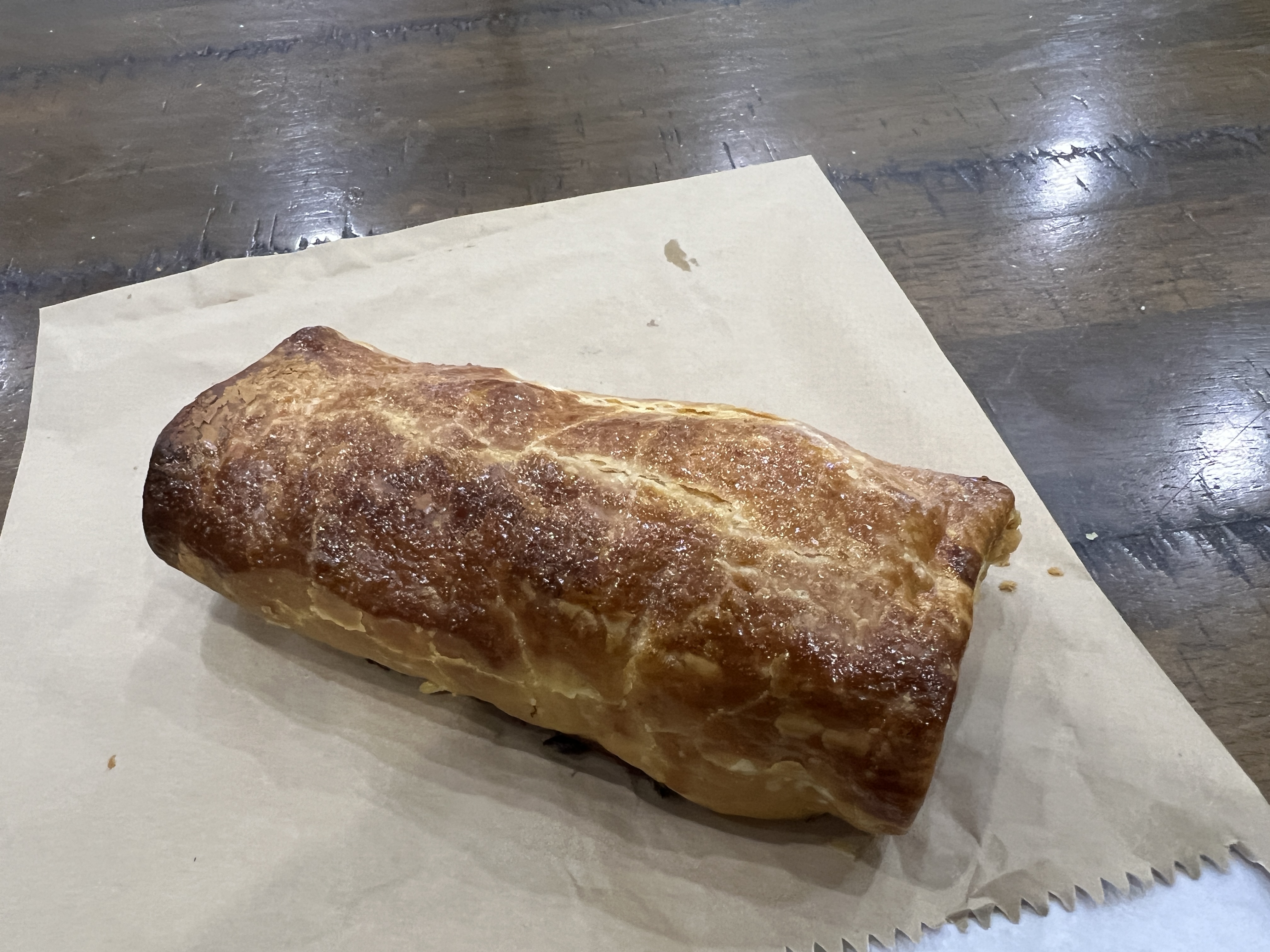
Before leaving Bredbo we indulged in the best sausage rolls so far at the Bredbo Bakery and picked up a couple of their famous frozen pies for a meal one night along the way.
Posted on April 30, 2024, in Murrumbidgee Run 2024. Bookmark the permalink. Leave a comment.

Leave a comment
Comments 0